Walking Buttermilk Creek

getting our feet wet

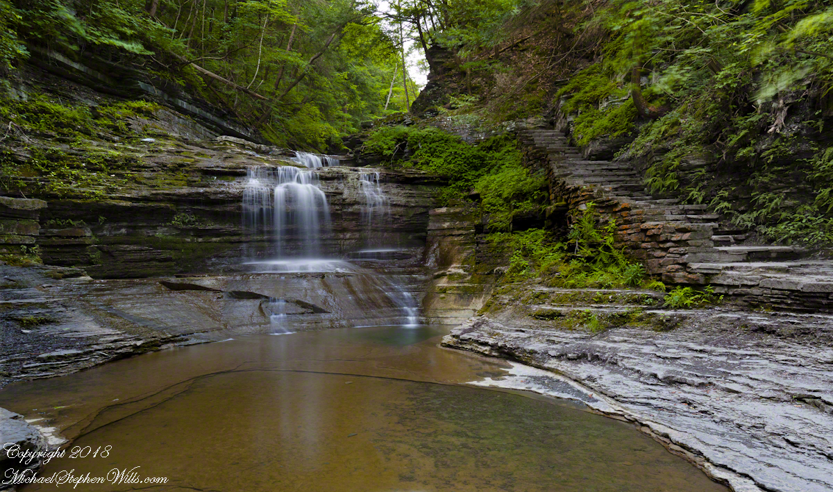
Friday last Pam and I joined a “James Potorti Memorial Gorge Walk” through Buttermilk Falls State Park where we learned interesting facts connected to one of my most successful photographs, “Summer Dream: Buttermilk Falls.” This is the third post of this series.

On the path vs. in the creek

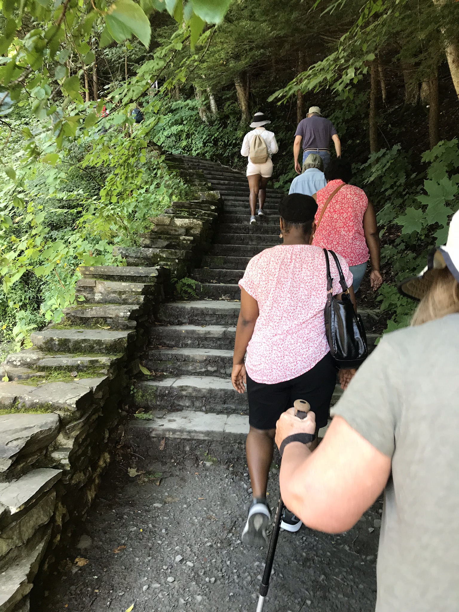
Friday’s hike began at the bottom, here we are at the start of the 400 foot climb, 300 steps, along cascading waterfalls.
Responsible Adults Staying on the path

Everyone stays on the path at this point, here is a video that demonstrates why.

Falls along the 300 step climb

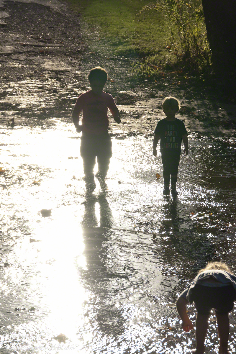
Hiking with the grandchildren we prefer the upper park, walking along the road to a place where the creek flows over the pavement. They love taking off shoes and jumping in.

Click any photograph for a larger view.
Children wading Buttermilk Creek, take note of the shirt, “The Party Has Arrived.”

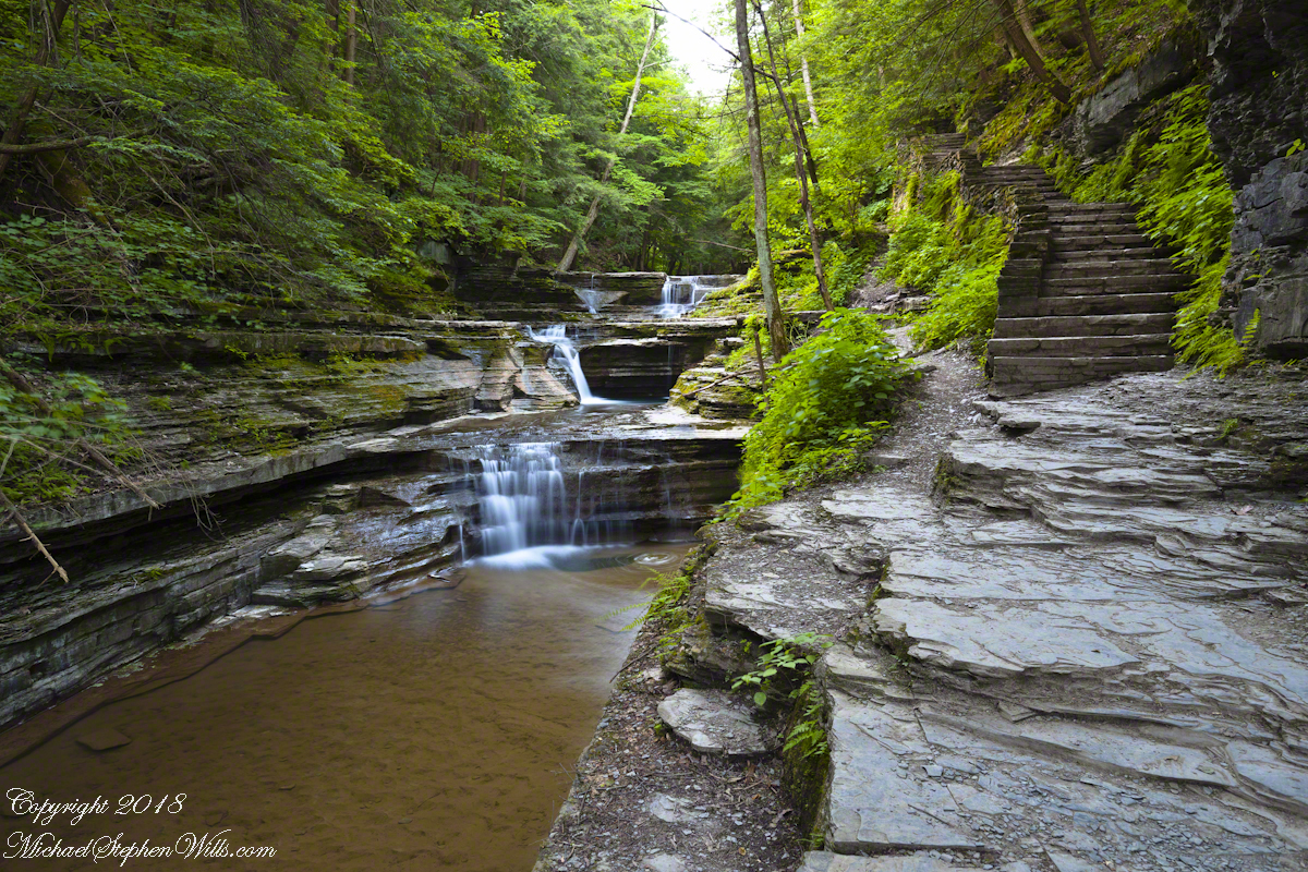
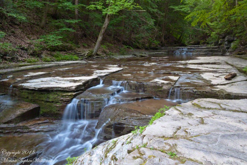
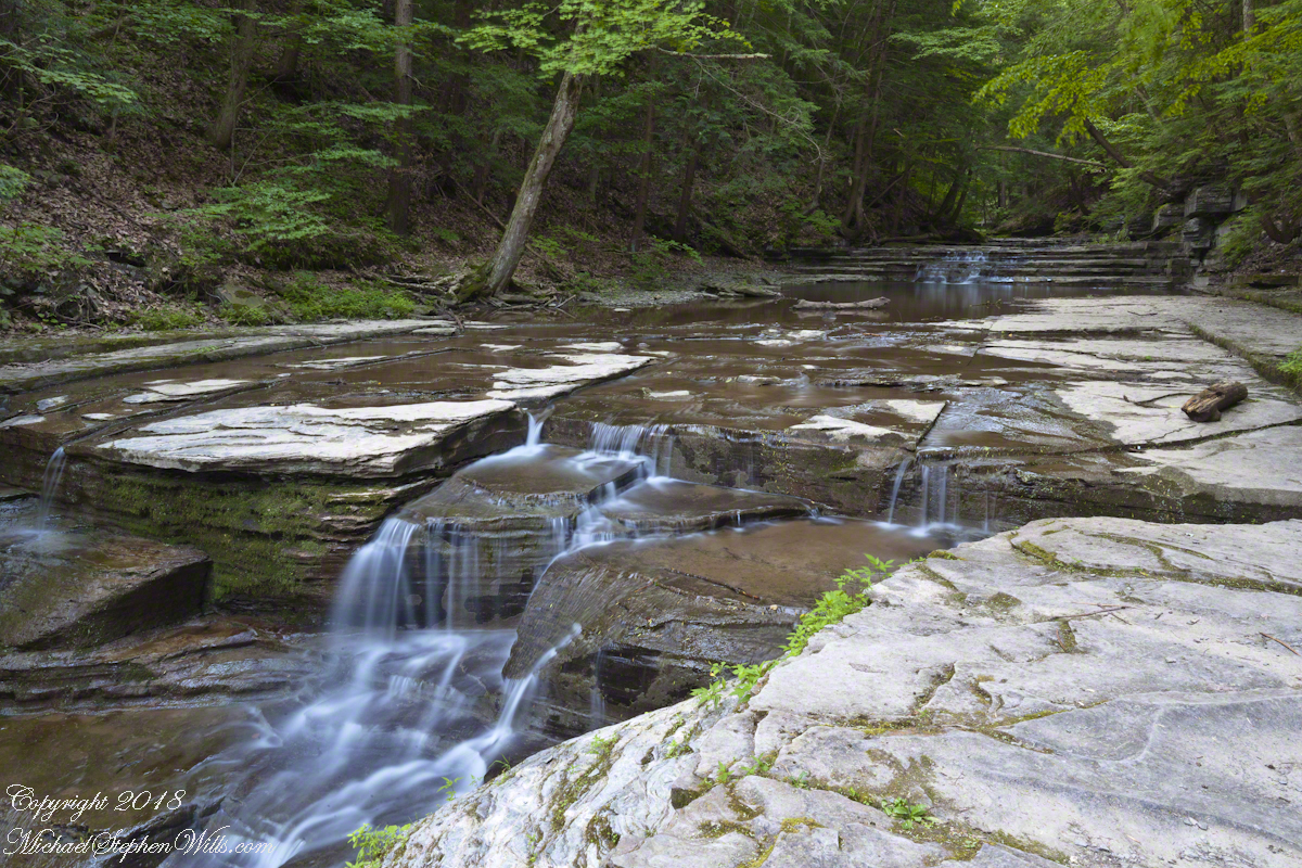
On a July morning 2018 I walked Buttermilk Creek from the scene of my “Summer Dream: Buttermilk Falls”, up the steps on the right of that photograph to where the water flows across a flat expanse of stone. This photograph from that walk was taken using a tripod mounted Canon EOS 1DS Mark III body with the Canon lens EF 24mm f/1.4L II USM w/a neutral density filter (0.6 as I recall).
Off the Path

Here is where the creek bed is flat enough to allow me to follow it when I wear waterproof boots. Note: it is against park rules to do this and the fines are steep, although some summer days it is a free-for-all of visitors in bathing suits, it looks like the beach. This session started shortly after sunrise, around 5:30 am at the best lighting, so there were no witnesses. When the sun shines over the gorge rim there are too many hot spots, the contrast between shadow and sunlight is too distracting.

In Memorium

Friday is the first visit I noticed this bronze water fountain in the lower park. The land for the park was an early 20th Century donation. The inscription text is in the photograph caption.
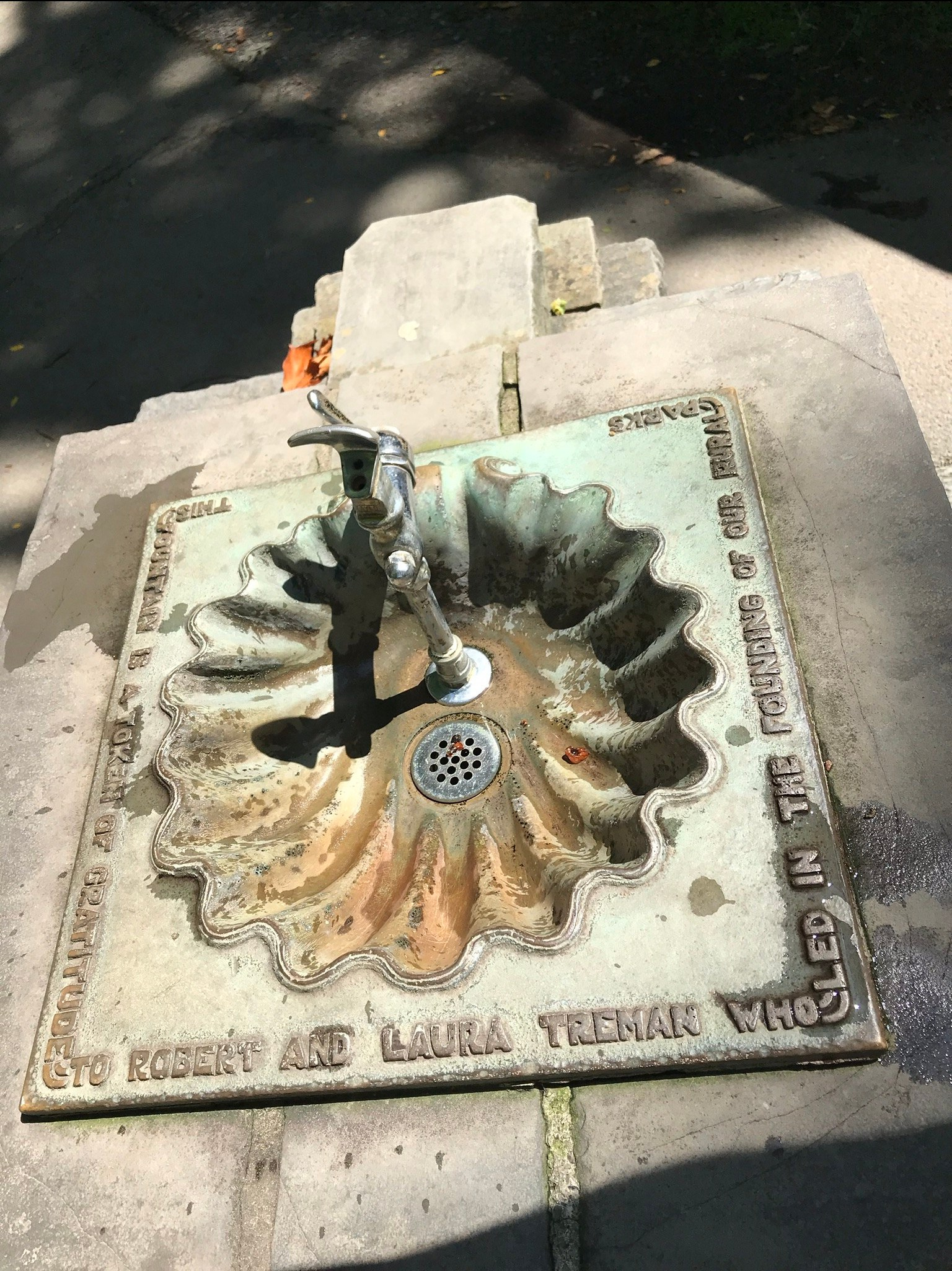
“This fountain is a token of gratitude to Robert and Laura Treman who led the founding of our rural parks.”

James Potorti was a native of Ithaca who perished at 52 years of age in New York City on September 11, 2001 were he worked on the 96th floor of 1 World Trade Center.
Copyright 2022, Michael Stephen Wills All Rights Reserved

Ancient “Fracking”

a form revealed

Friday last Pam and I joined a “James Potorti Memorial Gorge Walk” through Buttermilk Falls State Park where we learned interesting facts connected to one of my most successful photographs, “Summer Dream: Buttermilk Falls.” This is the second post of this series.

Click me for “Summer Dream, Buttermilk Falls” in my Fine Art Gallery.

Many Right Angles, Why?

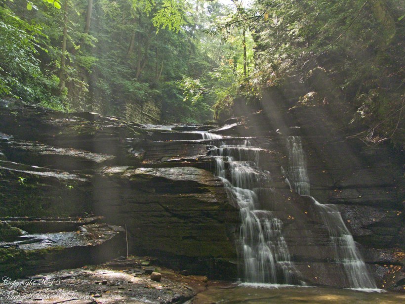
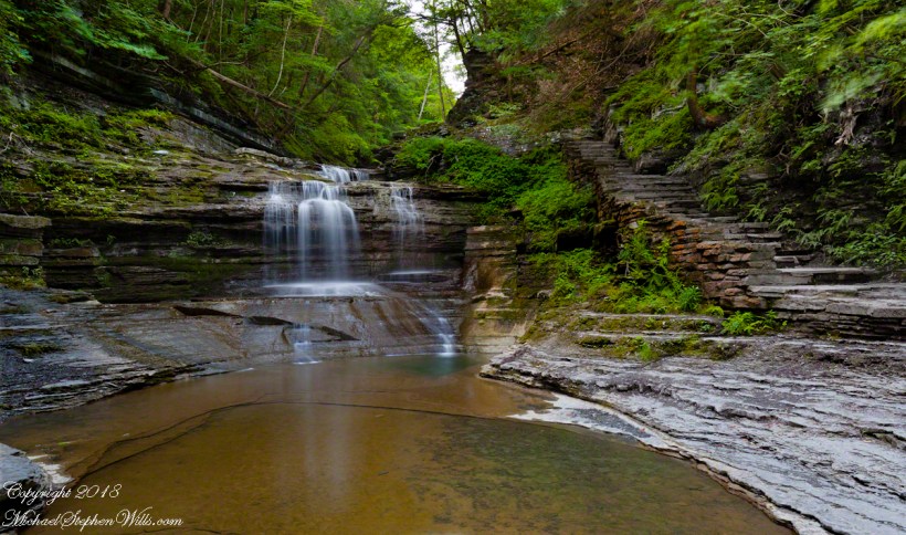
On a July morning 2018 I walked Buttermilk Creek from the scene of my “Summer Dream: Buttermilk Falls”, up the steps on the right of that photograph to where the water flows across a flat expanse of stone. This is a photograph of that expanse taken using a tripod mounted Canon EOS 1DS Mark III body with the Canon lens EF 24mm f/1.4L II USM w/a neutral density filter (0.6 as I recall).

Click photograph for a larger view.
“Summertime Cascades – 2018”

For a scene from nature there are many straight lines and, even, right angles in addition to the layering of the sedimentary rock from its origin as eroded material from the ancient Arcadia mountains collected on the floor of a warm shallow sea. We learned from Friday’s walking tour this sea was close to the equator at that time, riding on a tectonic plate that’s since drifted north. This North American Plate jostling with the others.

Beneath these rocks were older formations in which decomposed organic matter had transformed to methane gas. When the African plate and this pressed together, the stressed rocks weakened at right angles to the force, each stress point joining others in straight lines. The methane gas pressure from below forced the weak points to open a straight line fractures.

As the plates continued to move, orientation to the African plate transformed by ninety degrees and the two pressed together again. Methane gas pressure was present, causing straight line fractures at right angles to the others. Everywhere these rocks are exposed across the Finger Lakes region we see these right angle fractures.

In Memorium

James Potorti was a native of Ithaca who perished at 52 years of age in New York City on September 11, 2001 were he worked on the 96th floor of 1 World Trade Center.
Copyright 2022, Michael Stephen Wills All Rights Reserved

Finger Lakes Water Chemistry

Join us on a journey through Buttermilk Falls State Park, where we uncover fascinating geological facts that shape the gentle cascades of “Summer Dream: Buttermilk Falls.” Discover the hidden beauty of this serene landscape.

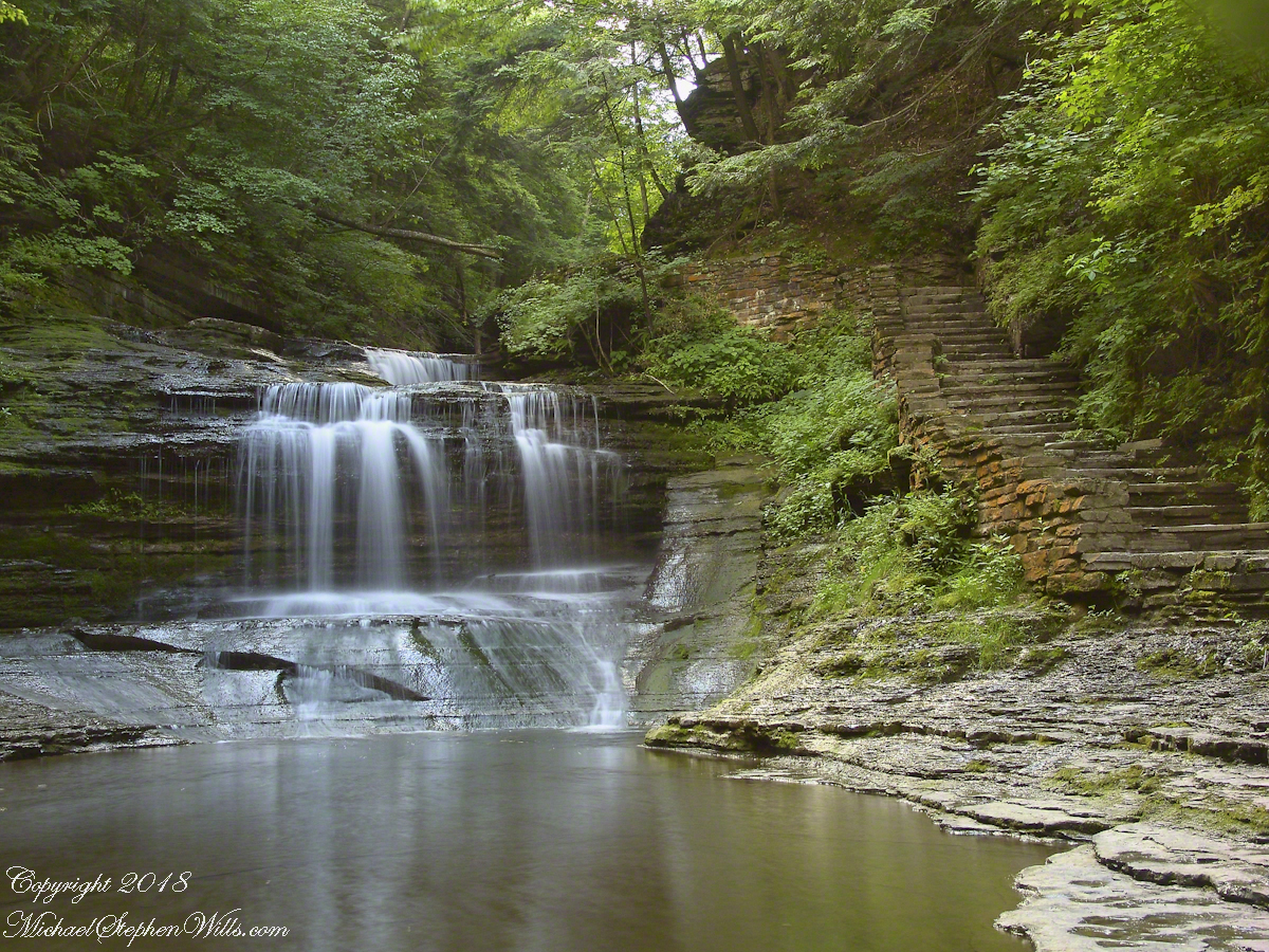
Early one Friday morning Pam and I joined a “James Potorti Memorial Gorge Walk” through Buttermilk Falls State Park where we learned interesting facts connected to one of my most successful photographs, “Summer Dream: Buttermilk Falls.”

Click me for “Summer Dream, Buttermilk Falls” in my Fine Art Gallery.

Low Flow

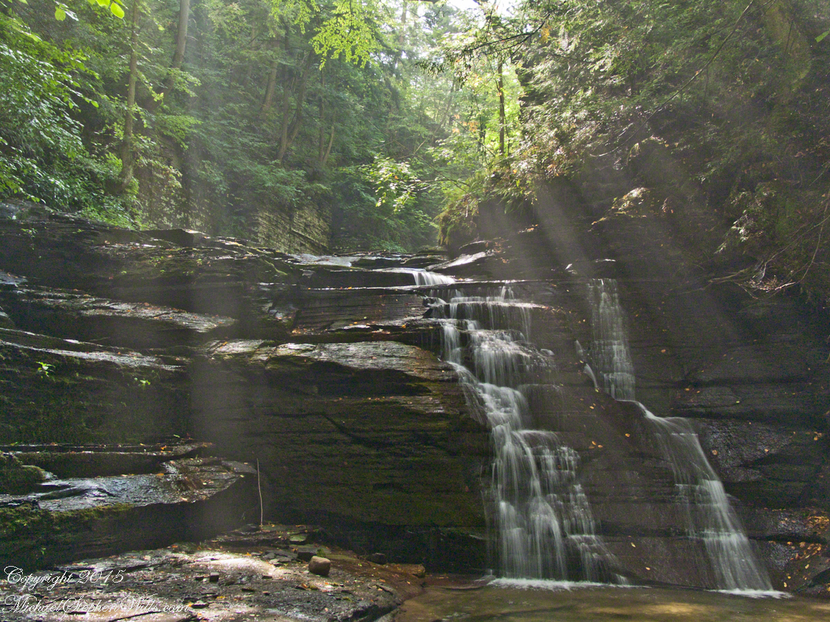
Presented here is the original photograph from July 2004 and an second version, produced July 2018. Both were produced at a low flow after many days without rainfall. The first learned fact is a significant water source for Buttermilk Creek and all the Finger Lakes gorge creeks, is ground water percolating through the sedimentary rocks cut through by the running water. The beautiful fall of water seen here is possible because the creeks flow through periods of drought, a lower flow creating these gentle cascades.

Click either photograph for a larger view.

“Summer Dream, Buttermilk Falls -2004”

pH

Secondly, because Finger Lakes sedimentary rock formed beneath warm, shallow seas 400 million years ago, water percolating trough the stone acquires soluble carbonate (calcium carbonate, Ca CO 3), an chemical imparting basic (as opposed to acidic) properties to the water. This characteristic buffers the water protecting us in the Finger Lakes from the effects of acid rain. When the pH of rainwater falling on the Finger Lakes is measured, it is acidic, falling below 5 on the scale. pH is a measure of reactive hydrogen in water, the more hydrogen the more acidic. Neutral pH is a 7. The water flowing in Buttermilk Creek is consistently around 8, in the basic side of the scale.


“Summer Dream, Buttermilk Falls – 2018”

James Potorti was a native of Ithaca who perished at 52 years of age in New York City on September 11, 2001 were he worked on the 96th floor of 1 World Trade Center.
Copyright 2022 Michael Stephen Wills All Rights Reserved

August Afternoon Fillmore Glen

Sunlight in Fillmore Glen Gorge

Augusts are typically dry in the Finger Lakes, drawing down creeks to a thin flow perfect for photography. I took the opportunity of Sunday leisure time to climb into Fillmore Glen gorge, set up the tripod and shoot.

The sun broke through the clouds for this shot.

Fillmore Glen Waterfall– CLICK ME!!!!
Copyright 2021 Michael Stephen Wills All Rights Reserved

Cocoa Beach Kite Skating

Kiteskaters and Cruise Ships

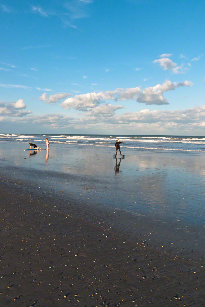
In the early morning hours of Sunday, September 10, 2017 as Hurricane Irma approached the Florida Keys, I cannot sleep, worried about family members north of Miami and in Daytona Beach. To pass the time, I returned to the golden hours of March 4, 2017 evening.  On vacation, Pam and I walked Cocoa Beach starting from Lori Wilson Park, headed north.

The light was perfect when I decided to switch to Raw-Jpeg mode, feeling the extra space was worth it.  I don’t know why I don’t shoot Raw 100% of the time, as always, in retrospect, I regret using jpeg only. The camera was the Sony Alpha 700 dslr with a DT 18-200mm f3.5-6.3 lens purchased 2008 after an expedition to the Superstition Wilderness.

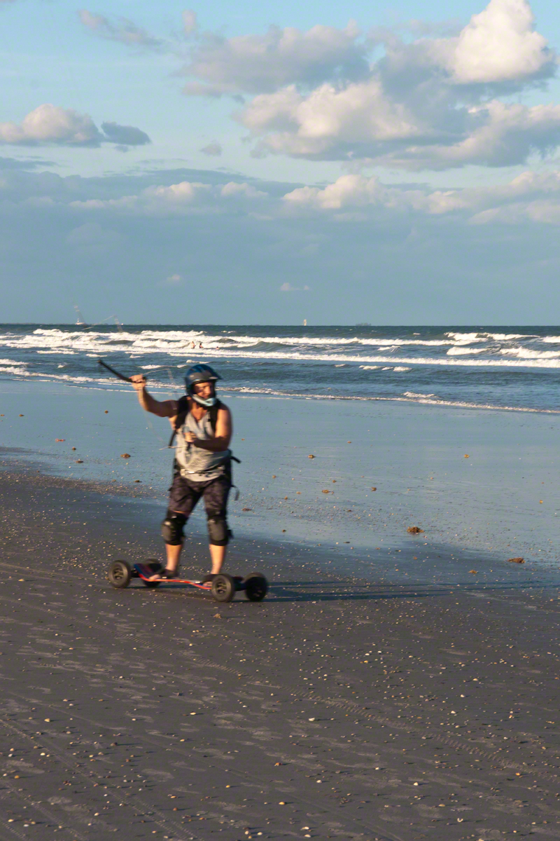
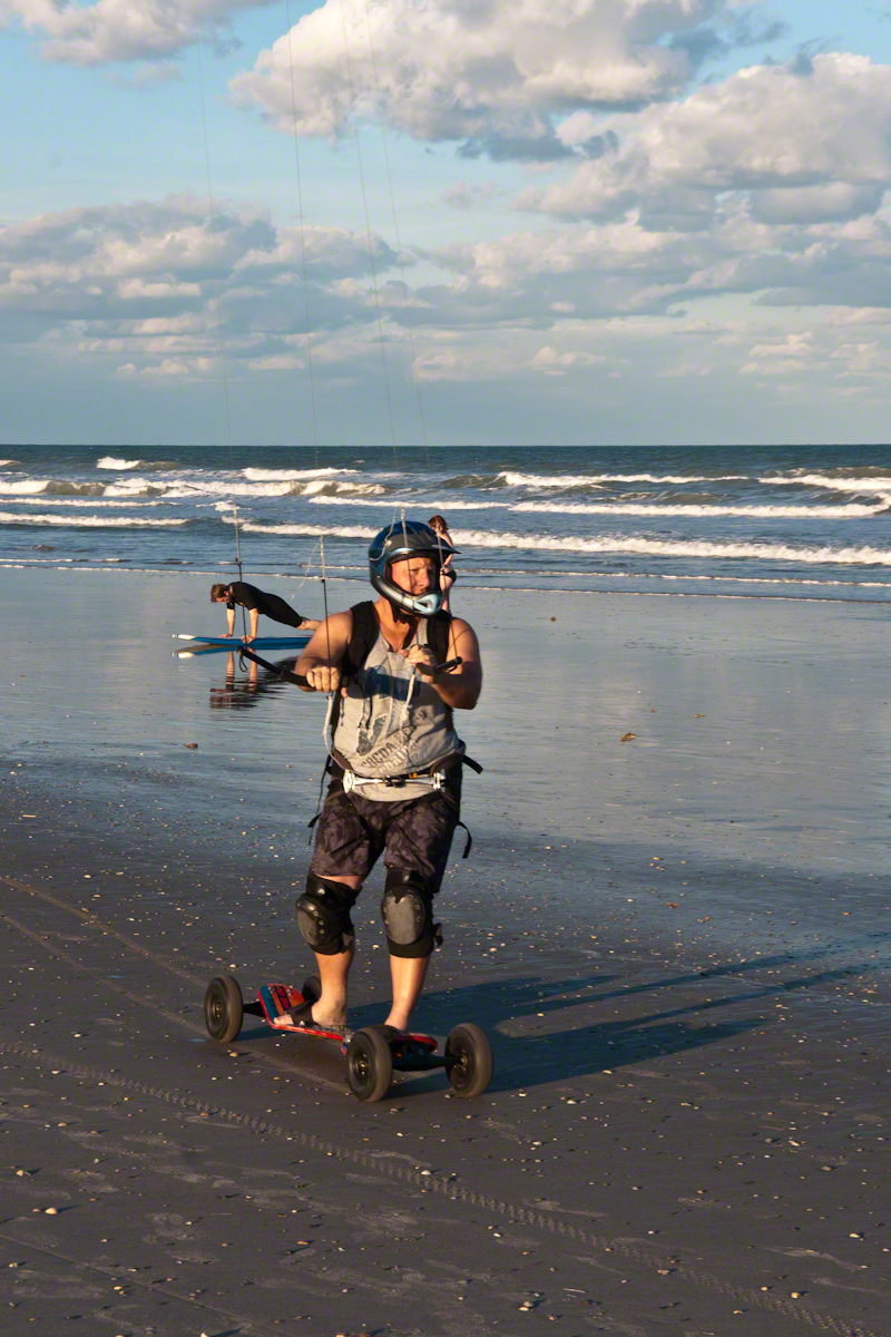
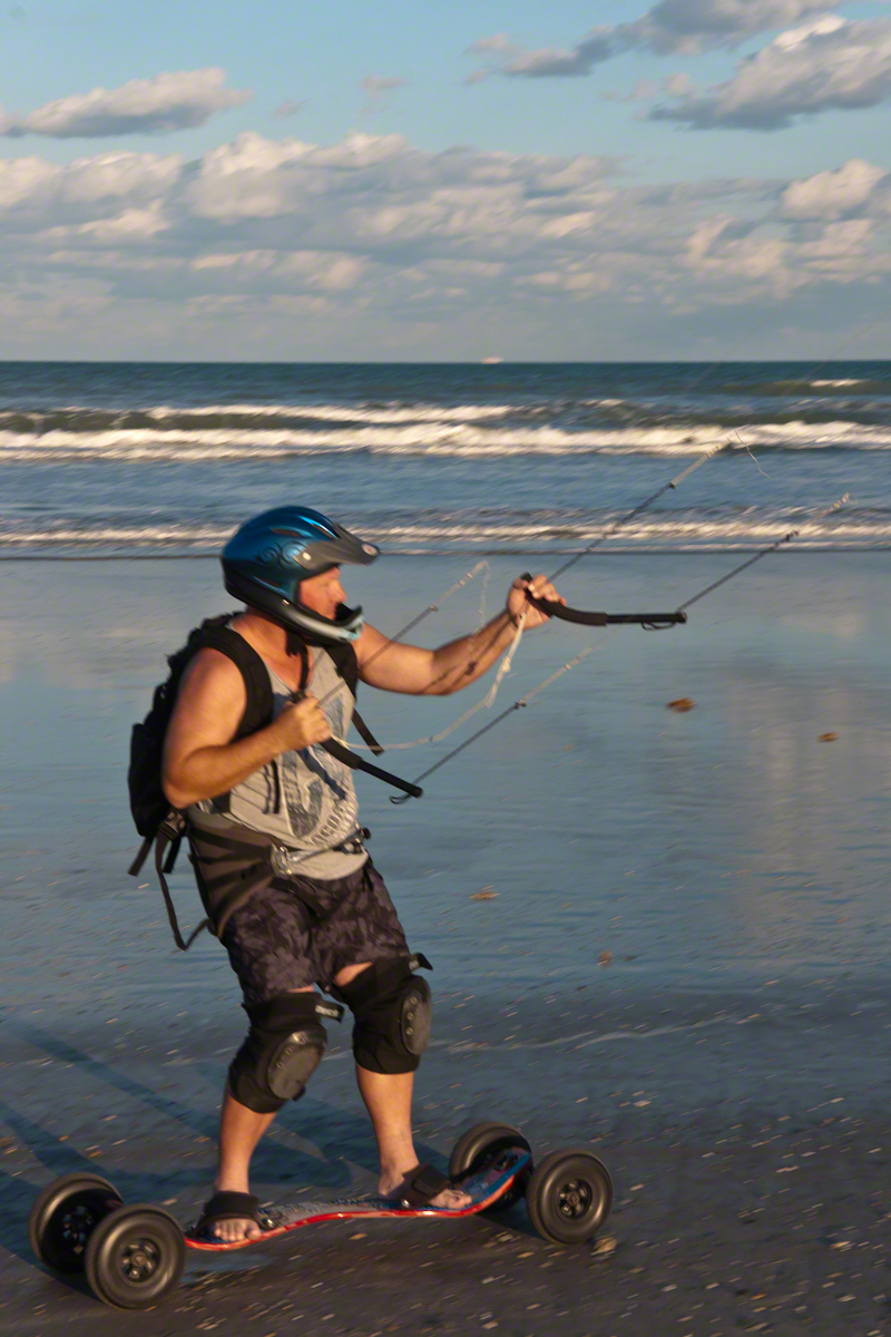
After capturing a wedding photo shoot and surfers there was this set of two Kite Skaters going at least 20 miles an hour. The Sony Alpha was quick enough to capture some of the action in raw mode, I am not satisfied with the sharpness of the images as the lens was not fast enough.

Click this link or a photo for my Online gallery
My Online Gallery– CLICK ME!!!!
Overview, Approaching Kite skater

We had never watched kite skaters before and were prepared to understand the vision from watching distant kite surfers out beyond the breakers. North winds are the best for any type of kiting on Cocoa Beach and, that day, the wind was northeast. These riders zipped by in less than a minute. The sport is low key, it does not exist on Wikipedia. Image that. These two are having a fantastic time and stayed upright, going on and on and on down the miles long beach.

My Online Gallery– CLICK ME!!!!
Sailskater Dreamview with Cruise Ship

1990 KiteSkate pioneers on the USA east coast experimented with four-line controllable parafoil kites powering in-line skates for exciting rides on asphalt surfaces.

My Online Gallery– CLICK ME!!!!
Her partner approaches

The name “Wheels of Doom” suggest the danger of going this fast over a hard, rough surface.

My Online Gallery– CLICK ME!!!!
He makes it look easy

These Cocoa Beach riders are outfitted for speed and safety: pads, helmets.

My Online Gallery– CLICK ME!!!!
He maneuvers kite overhead to slow down.

Barefeet?? Unprotected skin? They must know how to dress, though maybe not.  He has never fallen?

My Online Gallery– CLICK ME!!!!
Full speed ahead with the kite positioned forward.

The beach within the tide line is solid, the pebbles, broken shells and such unforgiving as asphalt.

Click this link for another Cocoa Beach post
Click this link for a Kite Surfing post

Copyright 2022 Michael Stephen Wills All Rights Reserved

McMath-Pierce Solar Telescope – 3

Adaptive optics

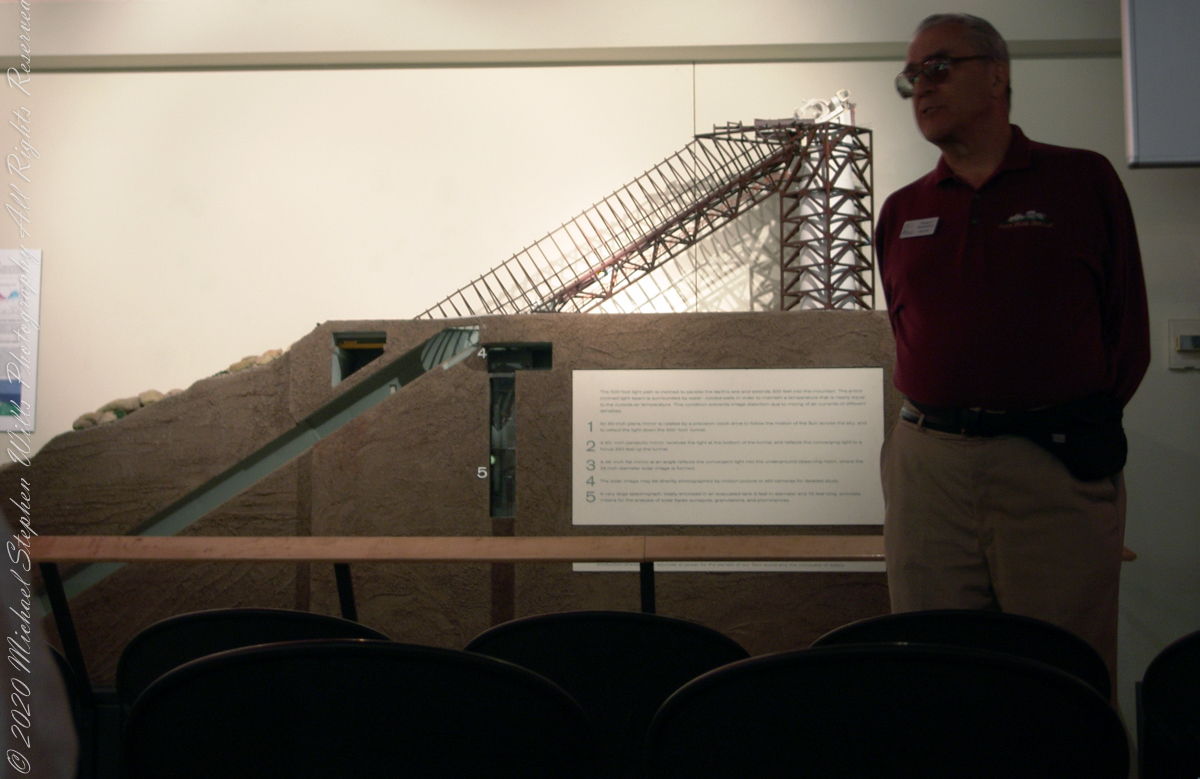
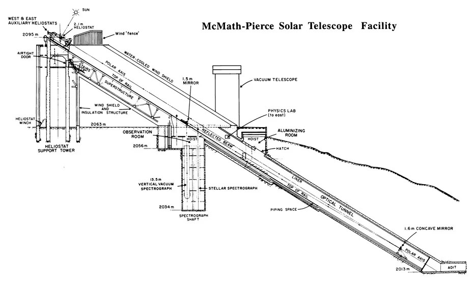
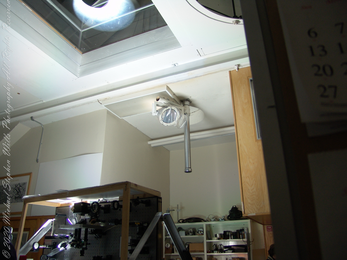
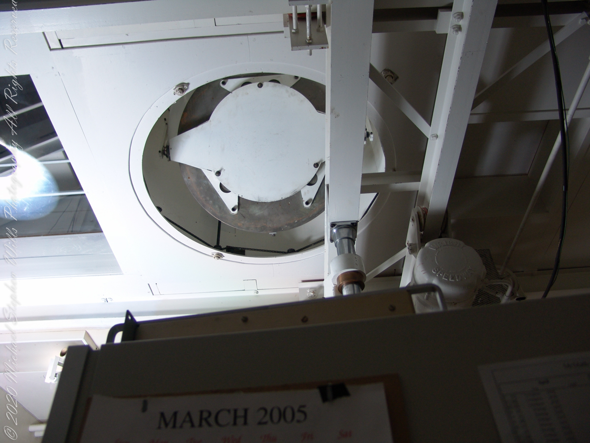
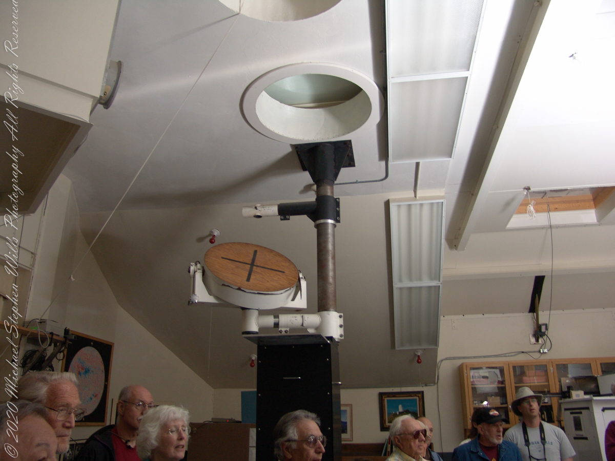
These views within the McMath–Pierce solar telescope enclosure were captured during a guided tour of the instrument, April 20, 2005. By way of orientation, the observation room we visited is near the location labeled “4” on the model of the following photograph or the “Observation Room” of the drawing.

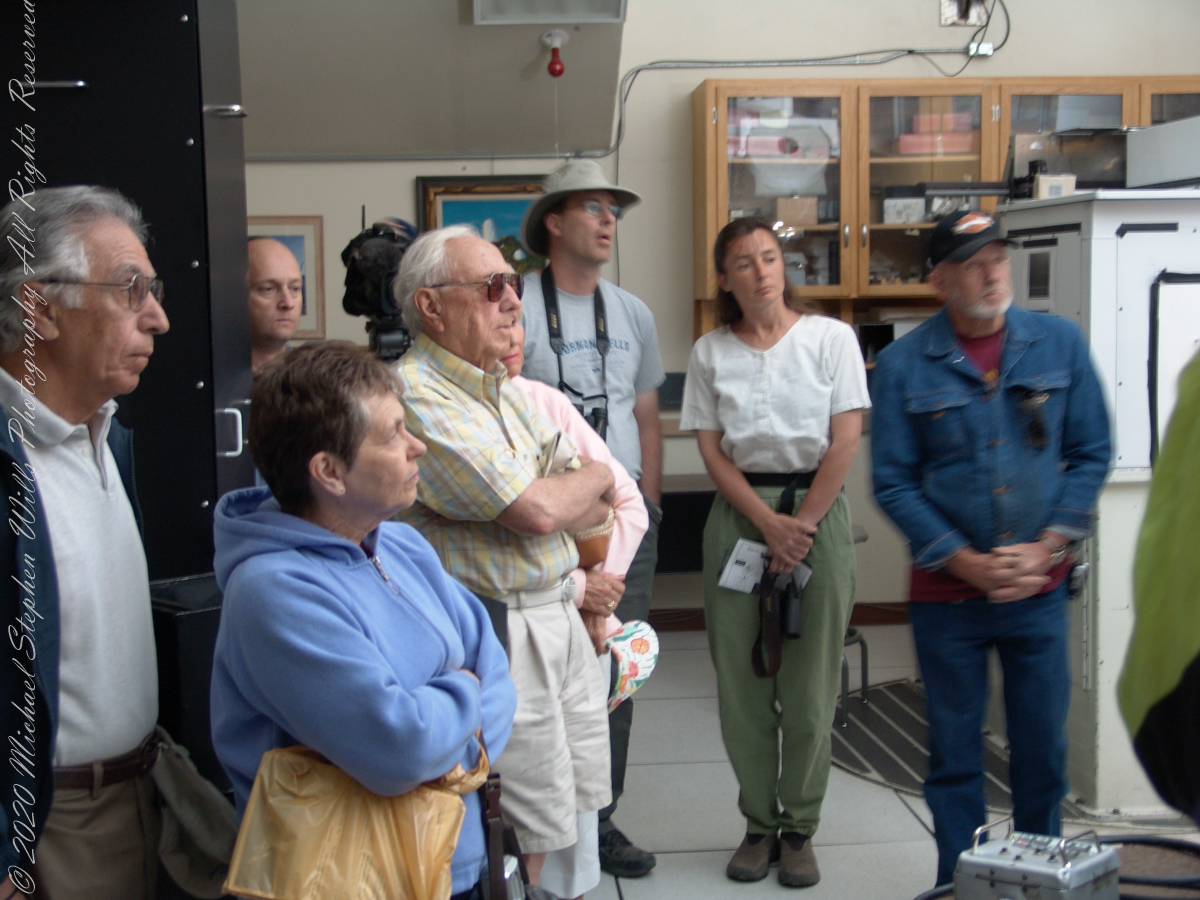
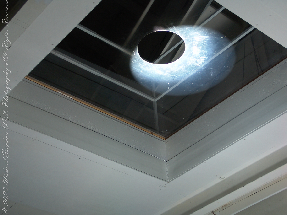
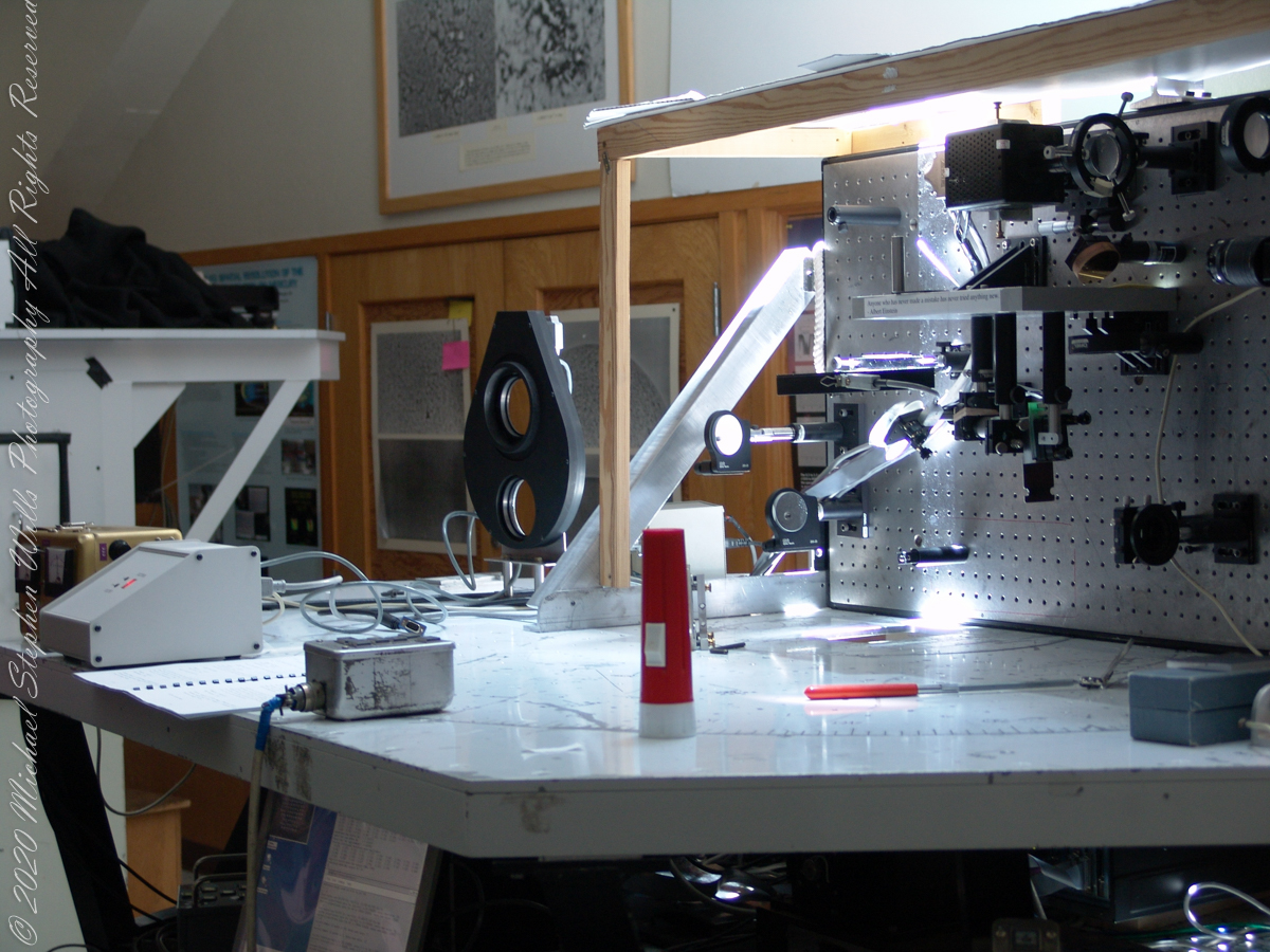
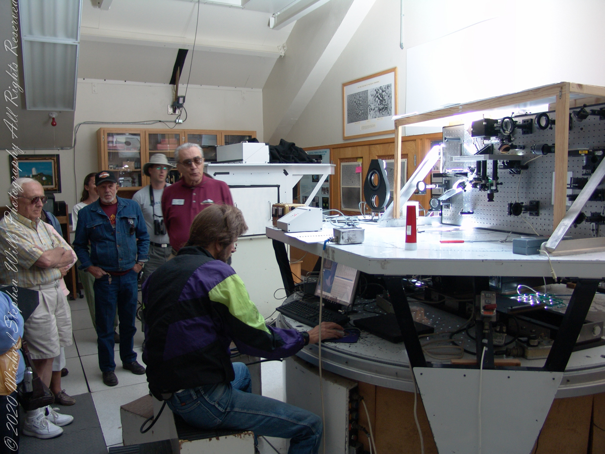
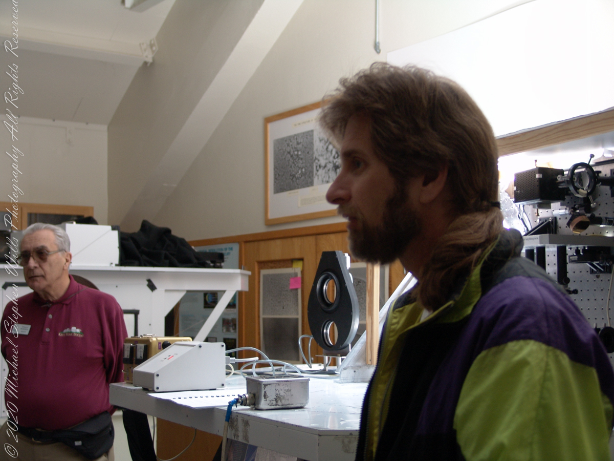
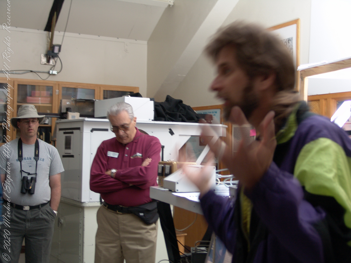
We learned each of the sets of mirrors is considered a separate telescope. The first step in designing the new solar telescope was to determine the optimal image scale. Working on the spectra of the solar granules, on the physical structure of the sunspots and their associated magnetic fields, requires a considerable image size. Past experience has shown that the optimal image of the sun should be approximately 0.91 meters. The highlight of our visit to the Main Observation room was meeting with the technician operating the recently developed low-cost adaptive optics system.

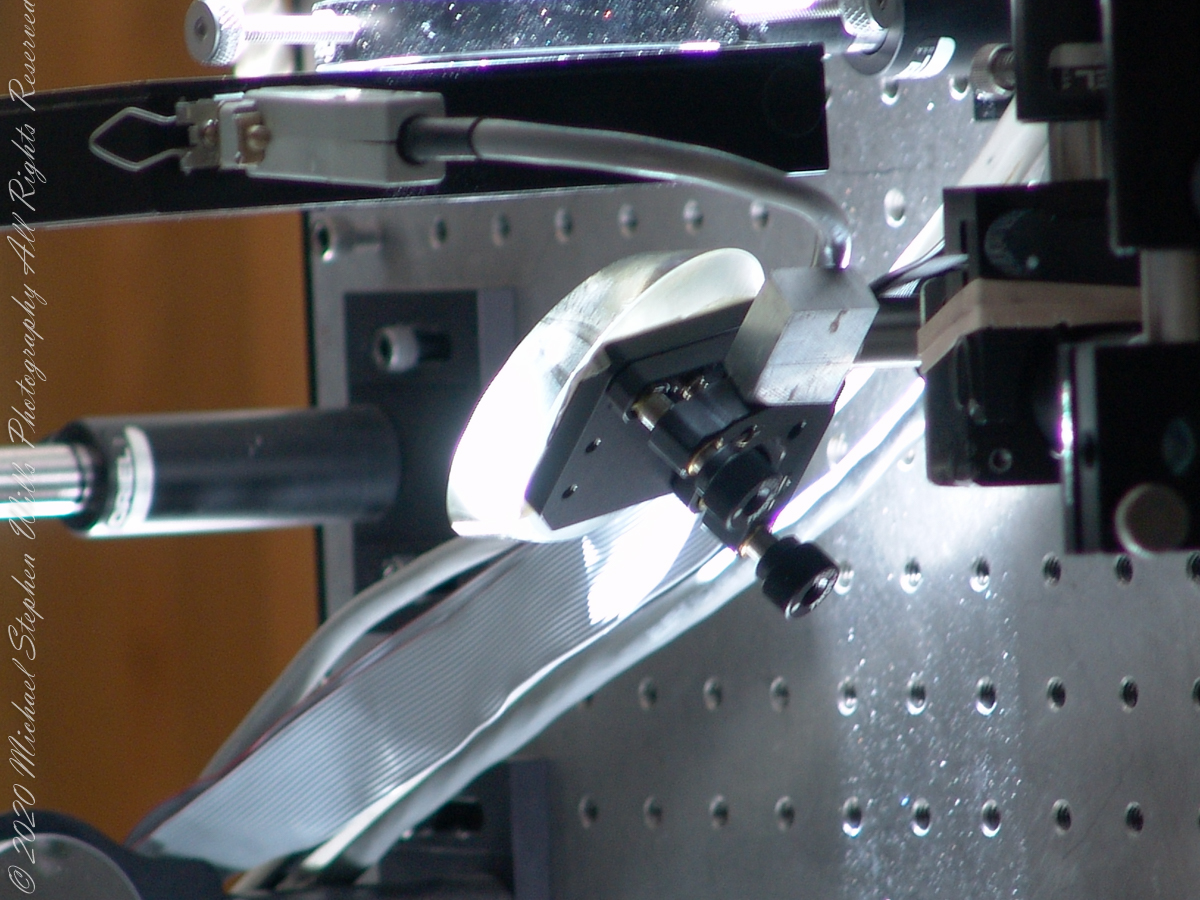
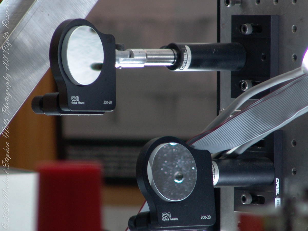
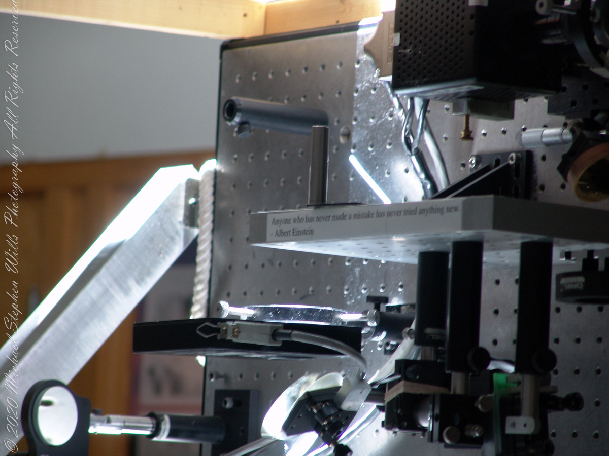
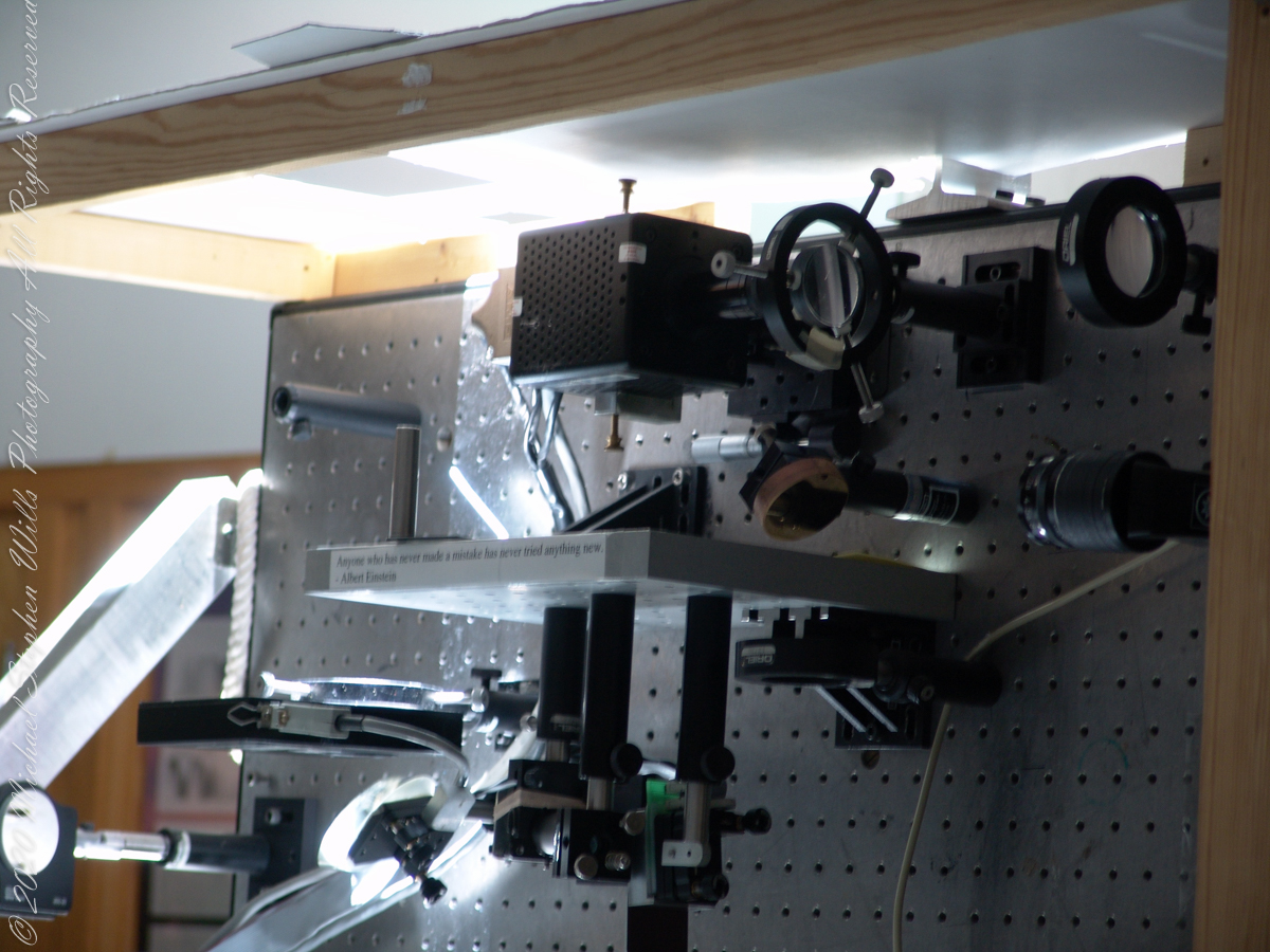
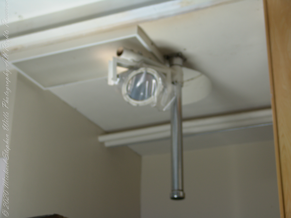
Tip-tilt correction and low order wavefront correction is available with a number of portable optical benches.  These are primarily used with the Main spectrograph and the Solar Stellar spectrograph on the Main telescope, but due to their compact mounting they could be used with other telescopes and instruments in the facility.

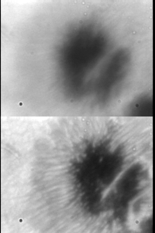
This configuration uses a rapidly deformable mirror to correct distortions introduced by the turbulent atmosphere. Using sensors to measure the degree of image distortion, the adaptive optics system adjusts the shape of the mirror accordingly and converts a blurred image into a clear one. The following image demonstrates the correction. “Low-cost” = $25,000 in 2003 US dollars. Under references is a link to a full description of the device by the creator.

A main area of ​​study in the observatory is the structure of sunspots, which are relatively cold, dark spots on the surface of the Sun created by intense magnetic activity.

Some of the most important discoveries made at McMath-Pierce include the detection of water vapor in the Sun, the measurement of kilogauss magnetic fields (thousands of times stronger than those on Earth) outside sunspots and the detection of a natural maser (like a laser, but with a microwave instead of visible light) in the Martian atmosphere.

Over the years and technological advances, the National Solar Observatory has moved its headquarters from Tucson to Boulder, Colorado. The organization abandoned its solar telescopes at Kitt Peak and in New Mexico for a larger instrument in Hawaii, the Daniel K. Inouye Solar Telescope on the island of Maui, which began operating in 1919.

References:
Wikipedia “McMath–Pierce solar telescope”

“Low Cost Adaptive Solar Optics” by Christopoher Kellar

Insights into the architectural design.

National Solar Observatory website..

Copyright 2022 Michael Stephen Wills All Rights Reserved

McMath-Pierce Solar Telescope – 2

The Mirrors

These views within the McMath–Pierce solar telescope enclosure were captured during a guided tour of the instrument, April 20, 2005. By way of orientation, think of yourself at the location labeled “4” on this model. This is the only large telescope where humans can view the interior and visually experience the light paths “bouncing” between the mirrors.

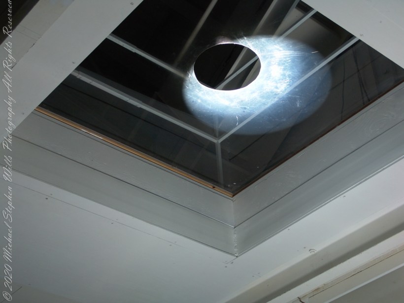
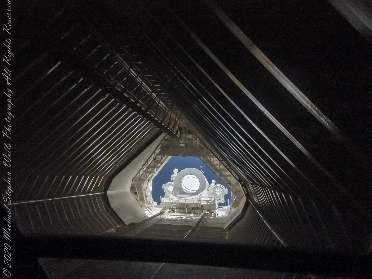
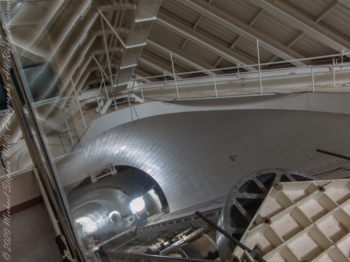
McMath–Pierce solar telescope has three heliostats mounted on a 110-foot tower adjacent to a slanted enclosure. The 2.03-meter heliostat feeds a 1.61-meter primary mirror, there are 1.07-meter and 0.91-meter primary mirrors fed by a pair of 0.81-meter heliostats. Here we are inside the slanted enclosure, looking up the shaft to the tower mounted heliostats, readily identified as the three circles, the largest at center (3.51 feet in diameter). The smaller (2.66 feet) heliostats named “East” (on left) and “West.”

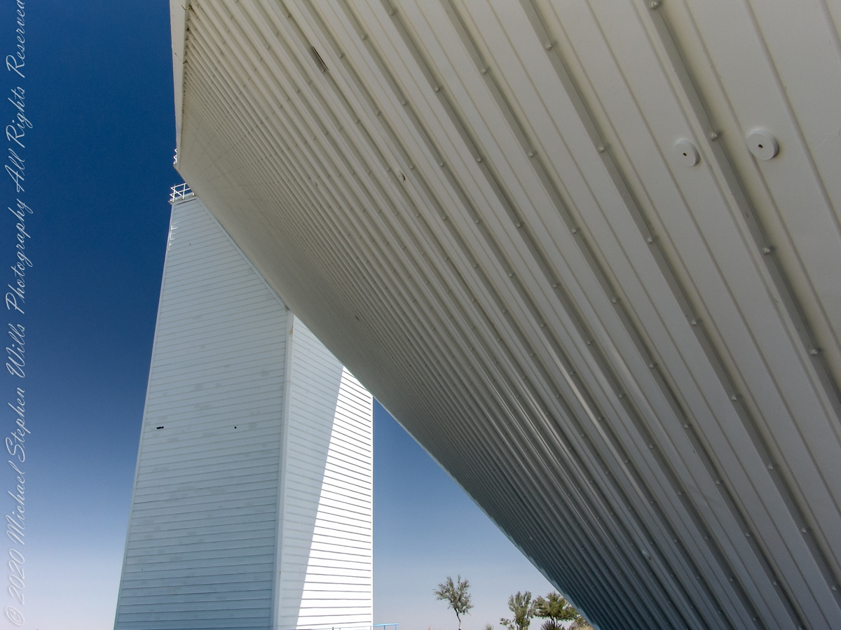
Built in 1962, the building was designed by American architect Myron Goldsmith and Bangladeshi-American structural engineer Fazlur Rahman Khan. It was the largest solar telescope and the largest unobstructed aperture telescope in the world. It is named after the astronomers Robert Raynolds McMath and Keith Pierce. Painted white to reflect sunlight to reduce heat accumulation, the enclosure is water cooled to prevent convection currents through the column of air within the slanted enclosure, keeping the air as still as possible along the light path between the mirrors.

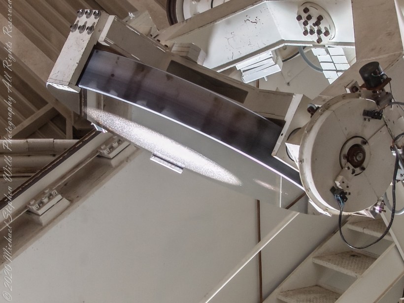
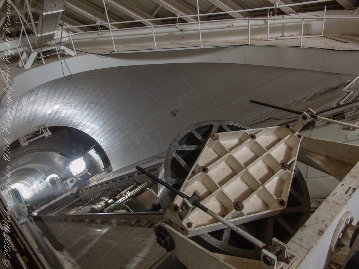
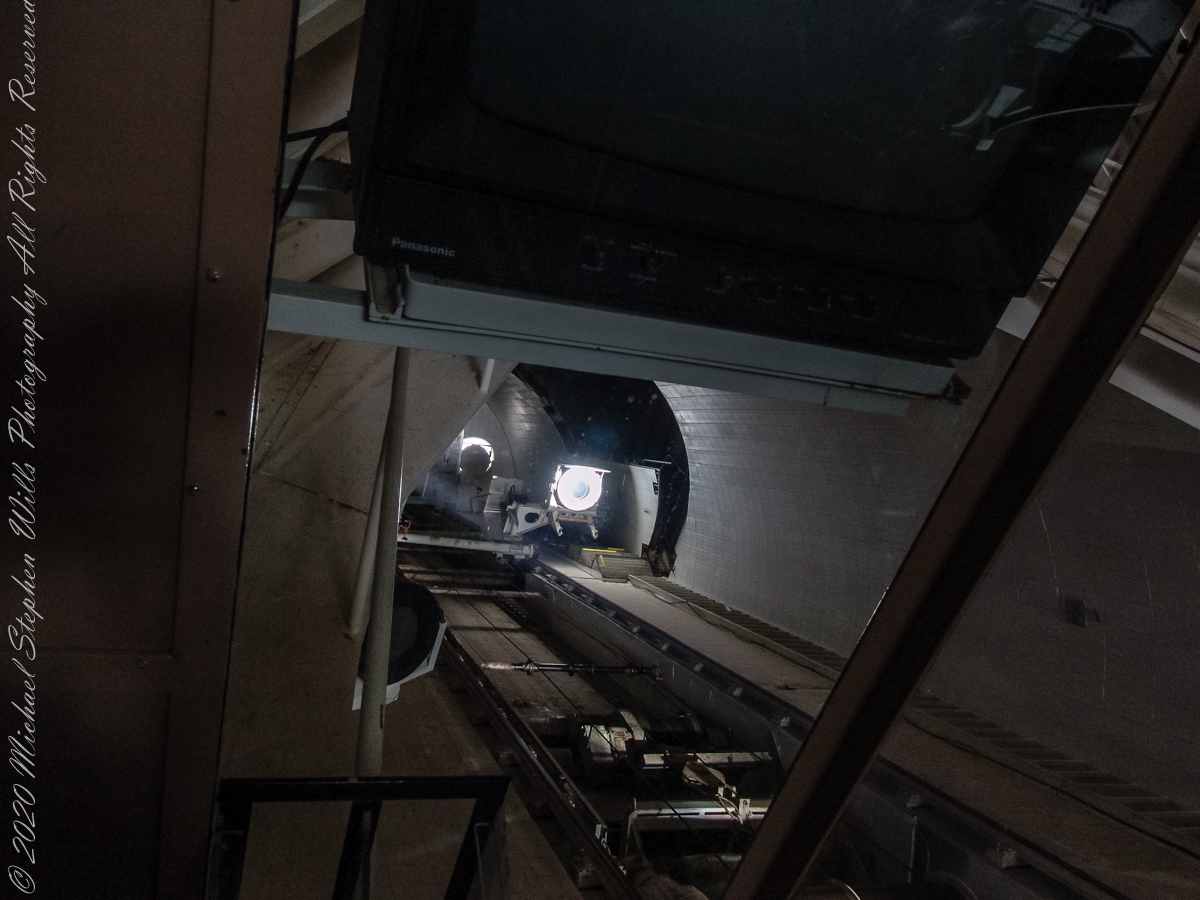
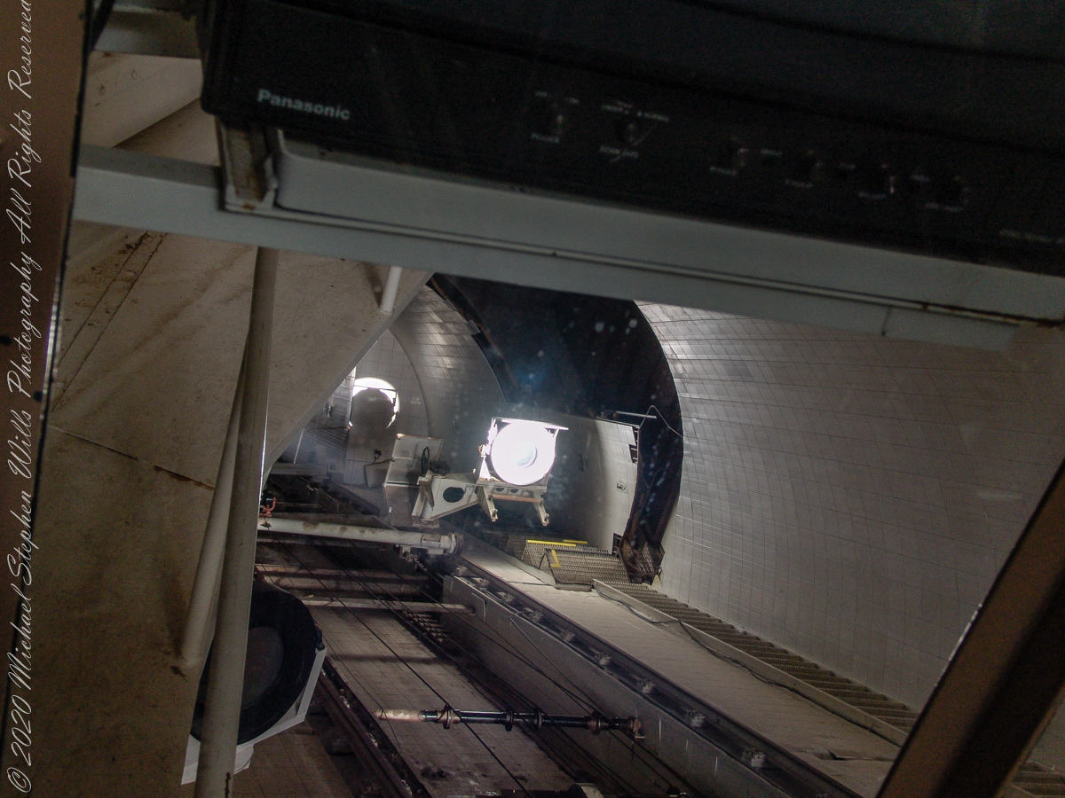
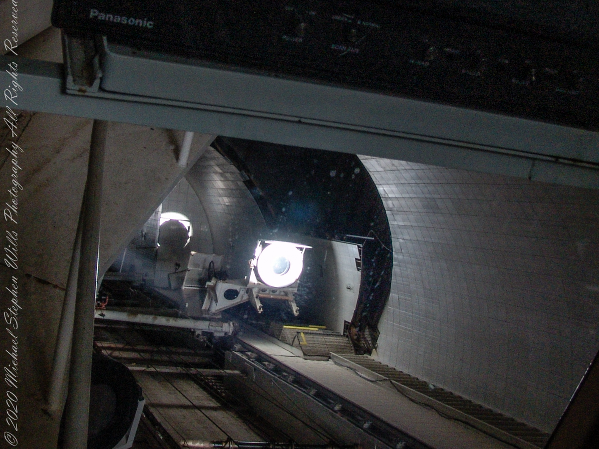
In the three photographs following, we face the underground portion of the slanted shaft and (what looks to be) the 0.91 meter (2.99 feet) primary concave mirror. I say that because in some of the photographs a beam of light, to the left of the mirror, can be seen travelling further underground, presumably to the largest primary mirror. As there is only one such light beam, I conclude the west heliostat is inactive.

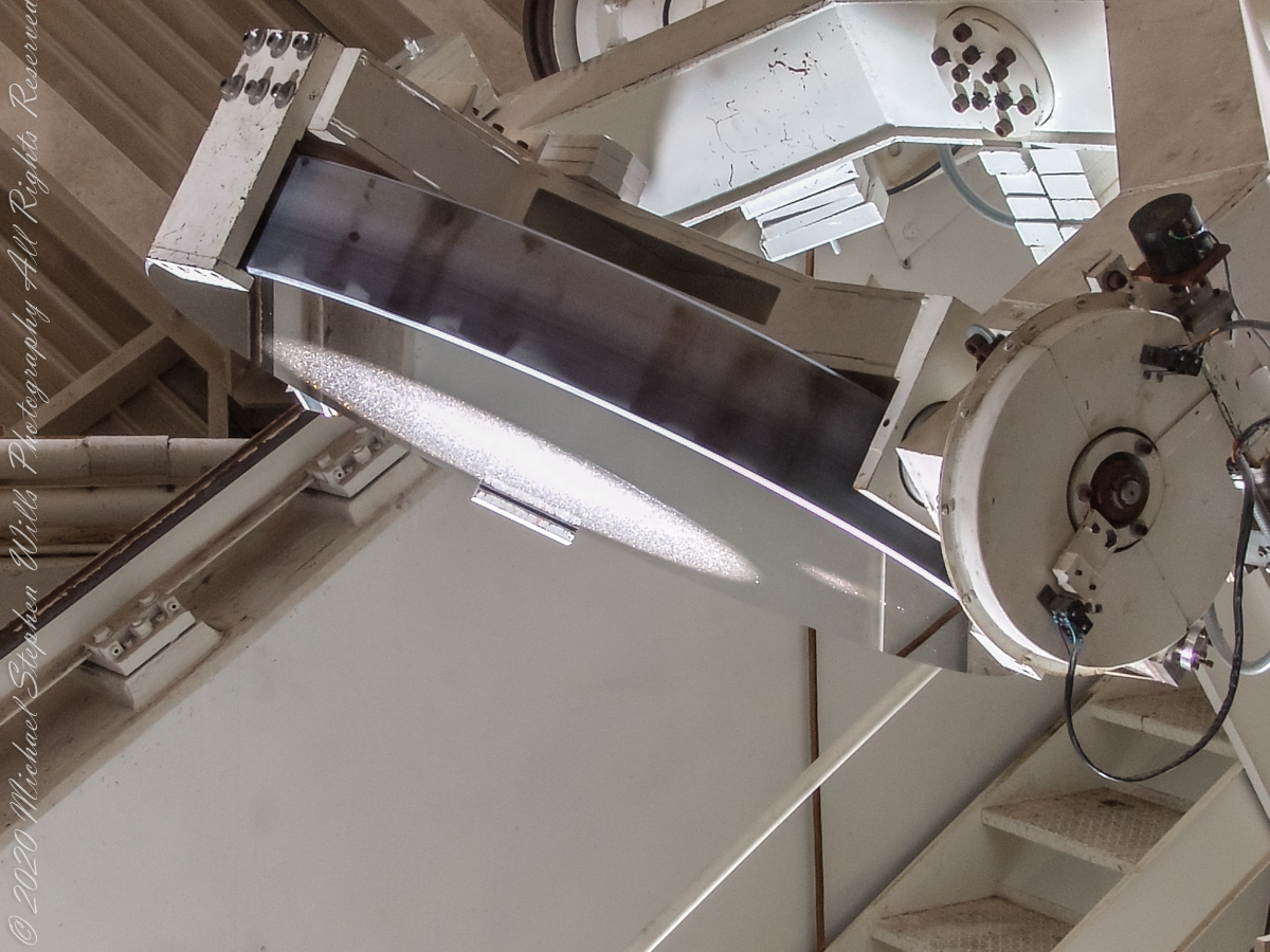
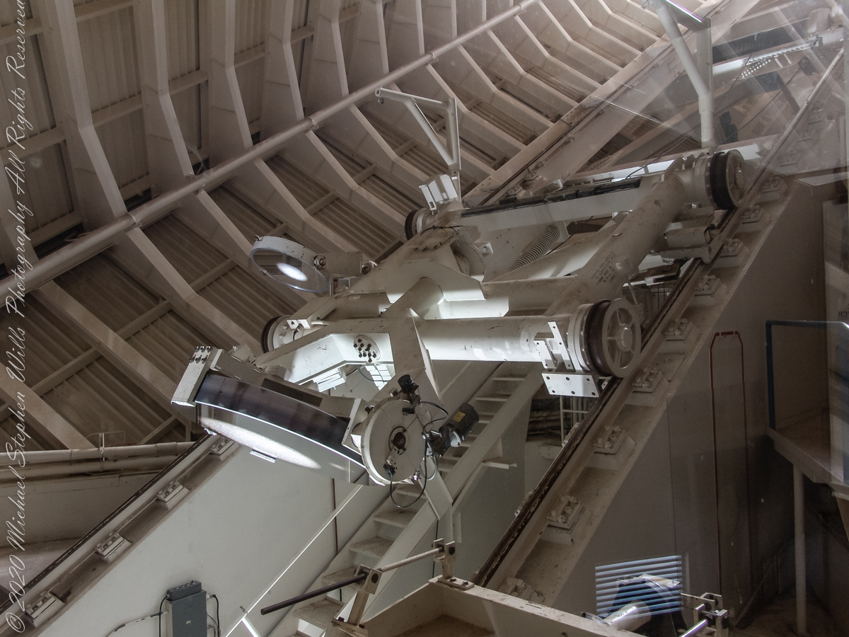
Here we looking up the slanted enclosure. Look carefully at the first photograph, below, to see reflections on the glass partition. The observation platform was separated from the light paths to maintain the stillness of the air column. The two mirrors of the first photograph are the third mirror, reflecting concentrated sunlight from the 0.91 and 1.61-meter primary mirrors into the observatory rooms. The mirror for the 1.07-meter primary is out of sight in foreground, I believe this set of three mirrors (West heliostats, primary and third) was out of service.

The second photograph, on right, is a close up of the third mirror for the largest primary. A foreshortened, perfectly round light disk is clearly visible.

Here we are inside the slanted enclosure, facing the underground portion of the slanted shaft and (what looks to be) the 0.91-meter primary concave mirror. In the lower right corner is the reverse side of the third mirror for the largest primary mirror, the 1.61-meter.
Reference: Wikipedia “McMath–Pierce solar telescope”
Copyright 2022 Michael Stephen Wills All Rights Reserved

McMath-Pierce Solar Telescope – 1

The Exterior

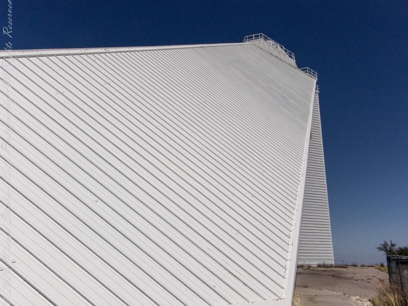
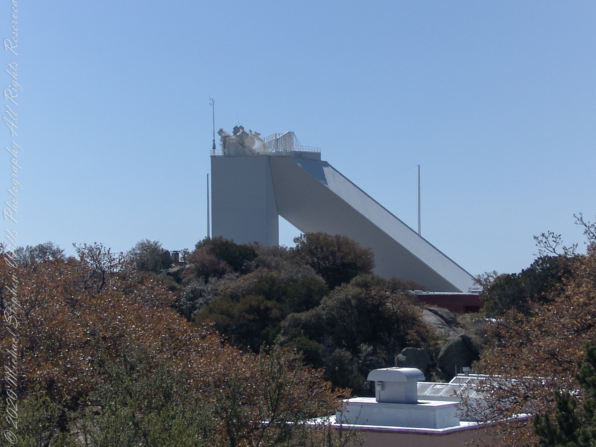
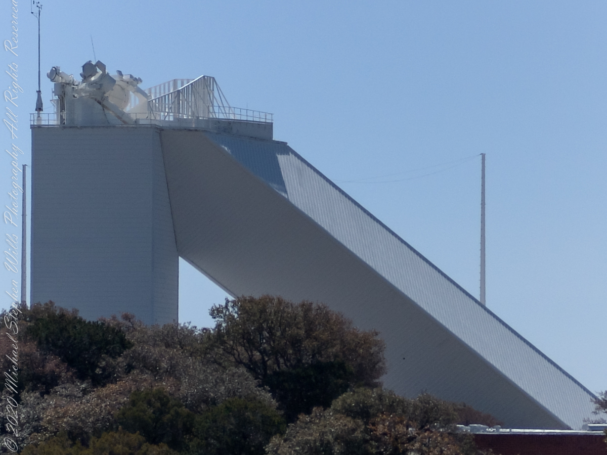
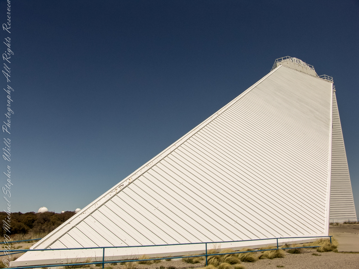
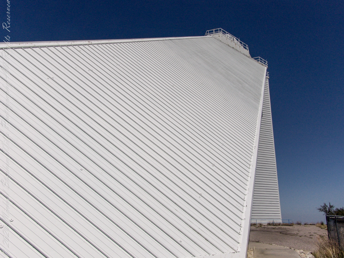
These views of the McMath–Pierce solar telescope enclosure are the preliminary to a guided tour of the instrument, April 20, 2005.

On the tower are three heliostats, plane (flat) mirrors mounted on computer-controlled platforms to follow the sun across the sky to direct sunlight to primary mirrors underground, beneath the base of the slanted shaft

Built in 1962, the building was designed by American architect Myron Goldsmith and Bangladeshi-American structural engineer Fazlur Rahman Khan. It was the largest solar telescope and the largest unobstructed aperture telescope in the world. It is named after the astronomers Robert Raynolds McMath and Keith Pierce.

Inside the McMath–Pierce solar telescope is this keyed model of the observatory. Our docent for the morning tour stands alongside.

Reference: Wikipedia “McMath–Pierce solar telescope”
Copyright 2022 Michael Stephen Wills All Rights Reserved

Kitt Peak from below

Rocks of a complex origin

“When George J. Roskruge created the official map of Pima County in 1893, he named the range after James Quinlin, who had opened a stagecoach station in the nearby town of Quinlin in 1884.” — Wikipedia article for “Quinlan Mountains.”

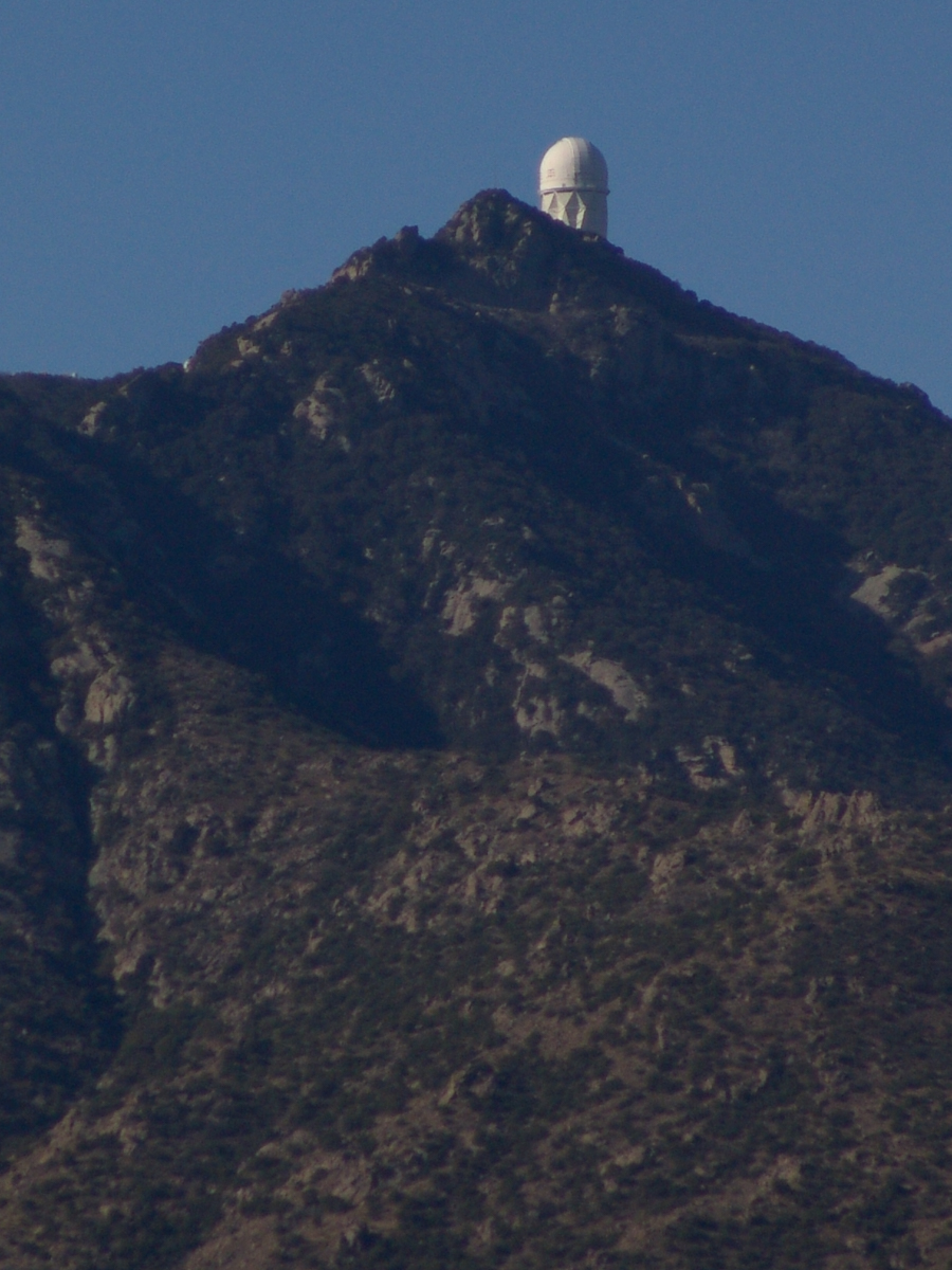
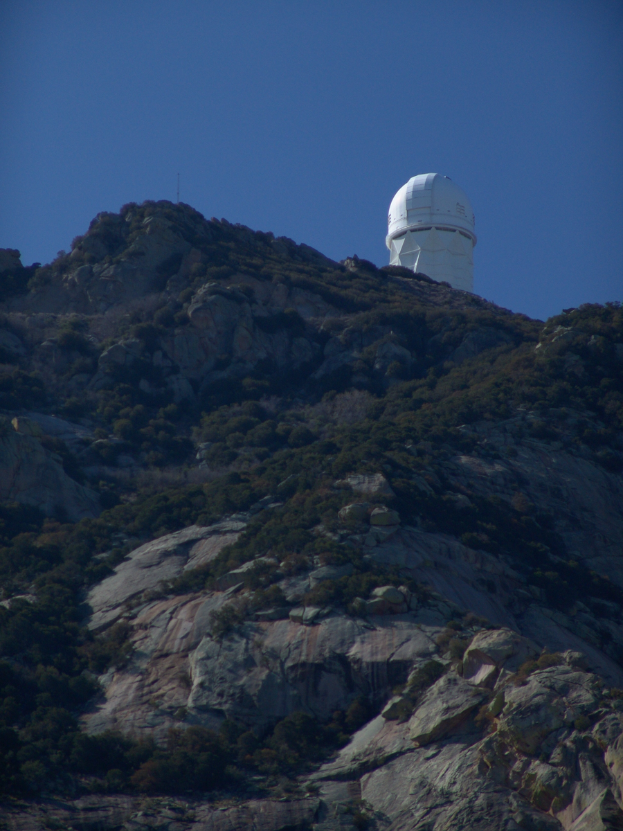
Kitt Peak is the highest point of the Quinlan Mountains, one of a series of ranges starting near the border with Mexico, the Baboquivari Mountains. Pan Tak pass separates Coyote Mountains from the Quinlans. Farther north there is even the Roskruge Mountains and a range named for a silver mine, the Silver Bells. Roskruge originally named “Kit’s Peak” for his sister, Phillippa, married to William F. Kitt. The peak was renamed to Kitt Peak William’s request.

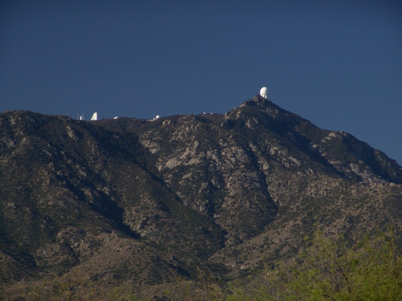
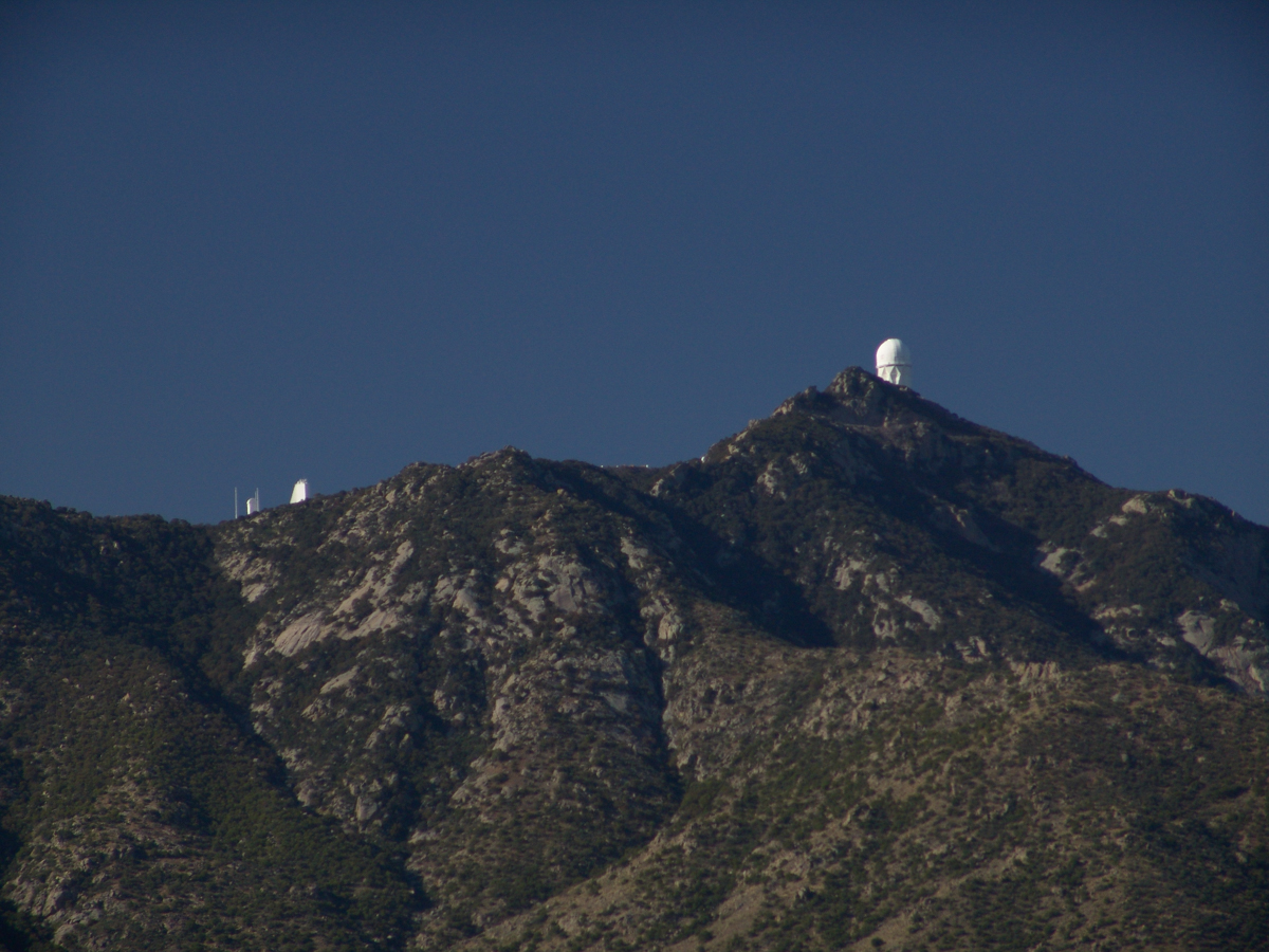
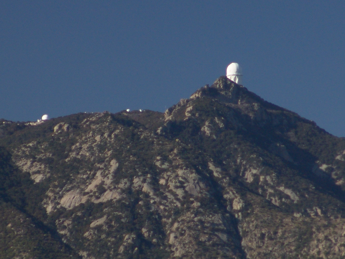
Here we see a dramatic view of Quinlan Ridge with Kitt Peak observatories, taken from the access road Arizona Routh 386. The instruments I recognize are, from left to right, McMath-Pierce Solar Telescope (second in line) and, on the end, Mayall Telescope.

And more views as I progressed toward the top.

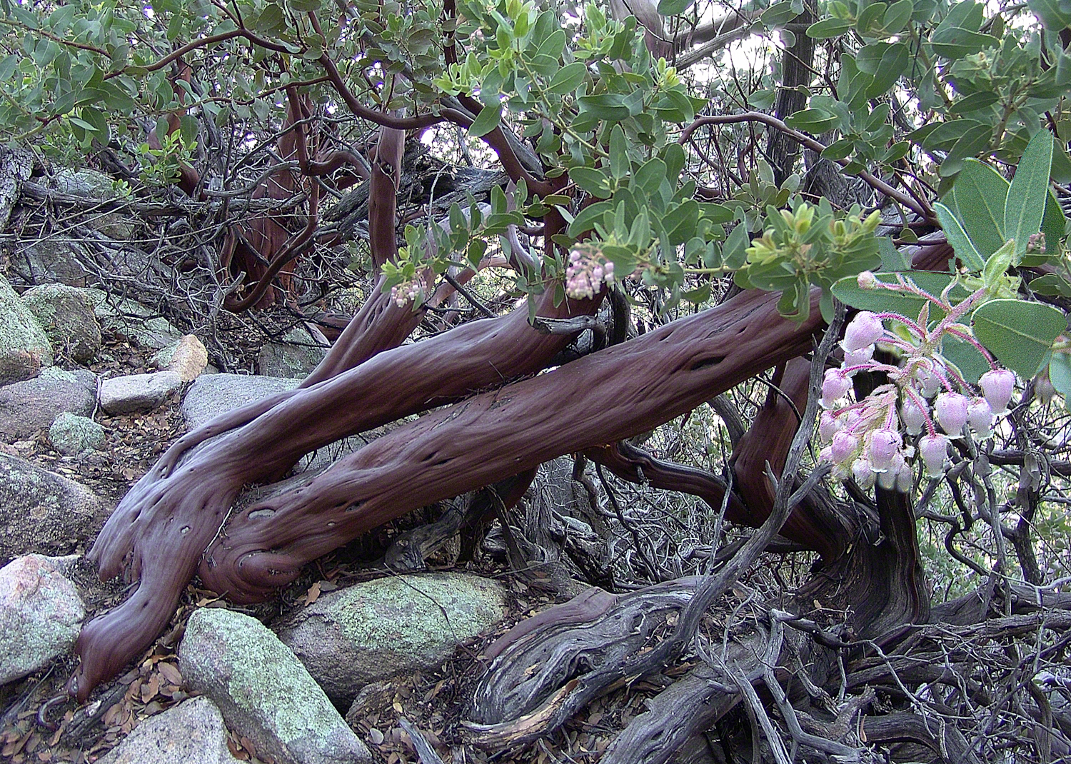
The dramatic peaks are hypothesized to be igneous intrusions into metamorphic rock, these are called “Sky Islands” for the environments supported on them, radically different from surrounding lowlands. Kitt Peak is known for the stands of Manzanita Bushes

Copyright 2022 Michael Stephen Wills All Rights Reserved

Baboquivari Peak

Approaching Kitt Peak

The Contreras fire threatening Kitt Peak last month brought to mind a spring visit of mine to the National Observatory.

From downtown Tucson get onto Interstate 10, heading “east” toward El Paso. East in quotations as the road only turns east after the fork for Interstate 19, headed south past San Xavier del Bac mission and Nogales at the Mexican border. A few miles down I19, well before the mission, a turnoff for Arizona route 86, a road you’ll follow the better part of 36 miles, passing the Tucson Mountains on the right. Most days, the Mayall Telescope of Kitt Peak shines bright white ahead, as it did the right after dawn on Wednesday, April 20, 2005.
At some point R86 enters the 4,453.307 square mile extent Tohono O’odham Nation Reservation, you pass the town Three Points where Arizona route 286 heads south to Sasabe and the Mexican border. The next turn south is the Kitt Peak access road, Arizona route 386. On that Wednesday I was so early the gate to the peak was locked, so I pulled off the road and waited. It is a lonely place on the route for migrants from Mexico. I wandered off the road, into a wash (dry, sandy stream bed), to relieve myself, where junk from migrants was scattered around. Back in the car a helicopter approached with a black SUV. A big guy got out, walking by into the wash: the border patrol.
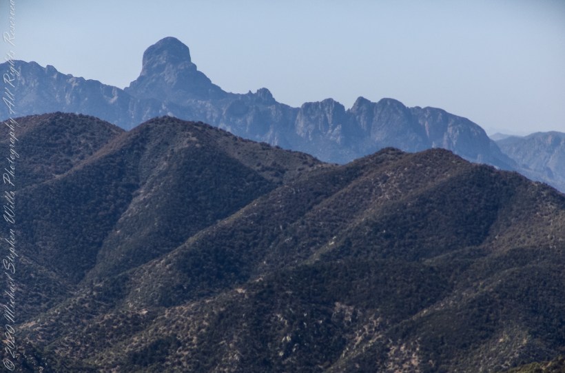
Here is a photograph from that day of Baboquivari Peak taken from Kitt Peak’

Baboquivari Peak is the most sacred place to the Tohono O’odham people. It is the center of the Tohono O’odham cosmology and the home of the creator, I’itoi. According to tribal legend, he resides in a cave below the base of the mountain. This mountain is regarded by the O’odham nation as the navel of the world – a place where the earth opened, and the people emerged after the great flood. Baboquivari Peak is also sometimes referred to as I’Itoi Mountain. In the native O’odham language, it is referred to as Waw Kiwulik, meaning “narrow about the middle”. The O’odham people believe that he watches over their people to this day. — Wikipedia

Baboquivari Peak was mentioned in the journals of Jesuit missionary Padre Kino, who made many expeditions into this region of the Sonoran Desert, beginning in 1699, establishing Spanish Missions in the area. — Wikipedia

Kitt Peak is in the sacred precinct of Baboquivari, the land just below the peak is the “Gardens of the Sacred Tohono O’odham Spirit I’itoi.” The month of my visit, the O’odham nation brought legal suit against Kitt Peak to halt construction of new telescopes in the garden. The issue was settled out of court.

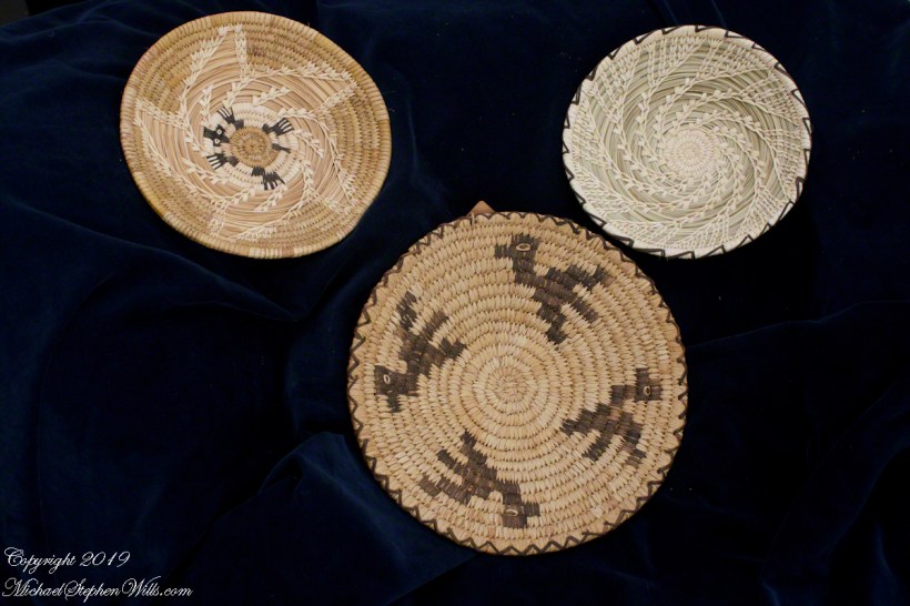
About the header photograph: From the bottom clockwise. Birds by Anmelia Juan of Geawuk (Kitt Peak 1972) – I purchased this from the Kitt Peak gift shop during my first visit; Turtle by Olvera and Simon Valenquela (Saguaro National Monument 2005); Stars by Simon Valenzuela for his daughter Pasquala Valenquela 16th Birthday (2018). Simon is of the Pascua Yaqui tribe who Learned basketmaking from his wife’s family.

Copyright 2022 Michael Stephen Wills All Rights Reserved