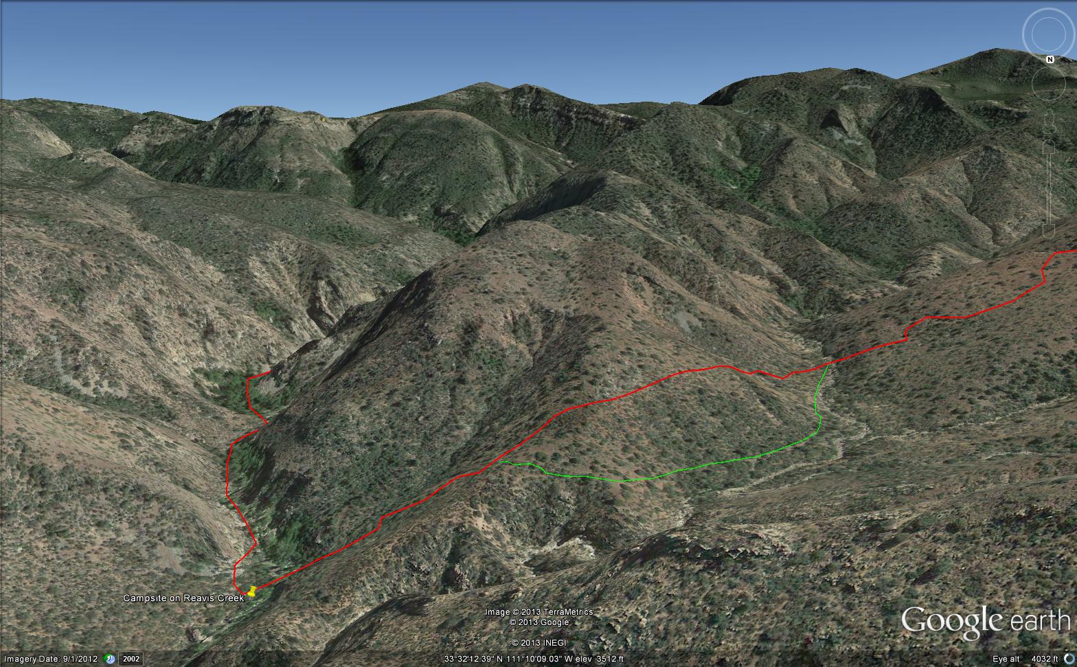
Here is an overview of my route through Cedar Basin on the way to Reavis Falls. There are two paths in the following image from Google Earth. The red path brings you into Cedar Basin and straight up a ridge and down to the campsite. The red path is incorrect in the approach to the ridge and, rather than repaint the path, I created the green path as the gradual and accurate description of how I climbed to the ridge point where I captured the photographs Hoodoos on the Descent to Reavis Falls.
No Path to Reavis Falls
You need to understand there is NO path through this terrain. It is necessary to follow a faint trail marked out by the footsteps of those before you and an occasional rock cairn placed at the most difficult points. The following image is misleading in that what looks like a road next to my green path is actually a creek bed from the Lime Mountain spring.
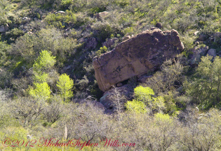
Huge Boulders
What looks like a road is the resting place of huge boulders fallen from the surrounding mountains. Since there is water, thick brush and trees grow everywhere in cracks and spaces between the boulders and rocks. Getting through the creek bed with an 80 pound pack and not getting lost is close to impossible. The solution is to hug the ridge slope, following the contours and navigate around boulders.
View of Reavis Canyon and Campsite
From the ridge small portions of Reavis Canyon were visible. I even spotted a campsite.
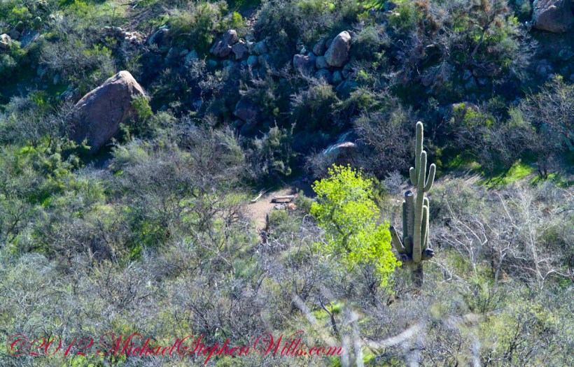
This camp, 1,636 feet below Lime Mountain peak, surrounded by house-size boulders fallen from the slopes above, has a patch of grass bright green and fresh to the right. In the center of the photograph is a tree trunk on rocks to serve as a bench next to a fireplace. With an 80 pound pack on my back, I was still an hour or so away from this spot. It was March, so sunset was around 6 pm, enough time to find a way down before darkness to overtook me.
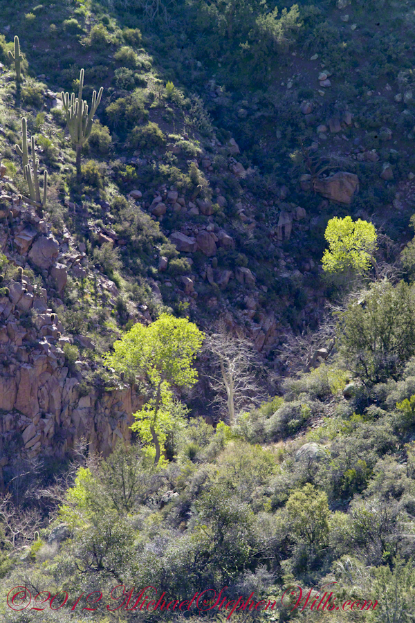
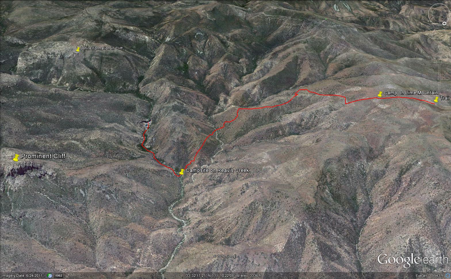
This is an overview of my progress, with the Lime Mountain and Reavis Canyon campsites marked. Landforms are marked on the left: the Prominent Cliff , in the background it says “White Formation on Cliff.”

2 thoughts on “Reavis Canyon Camp”
Comments are closed.