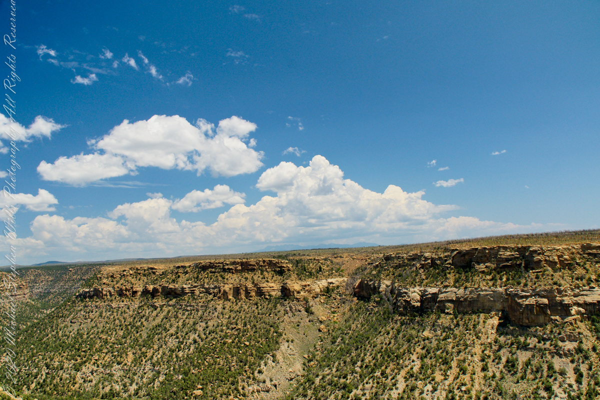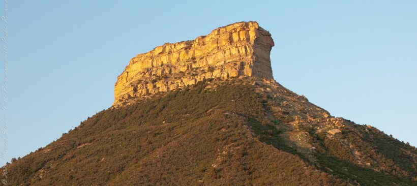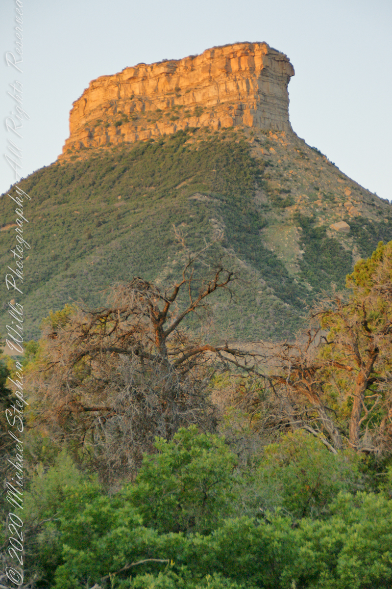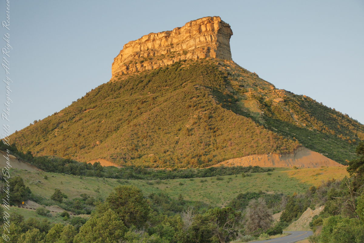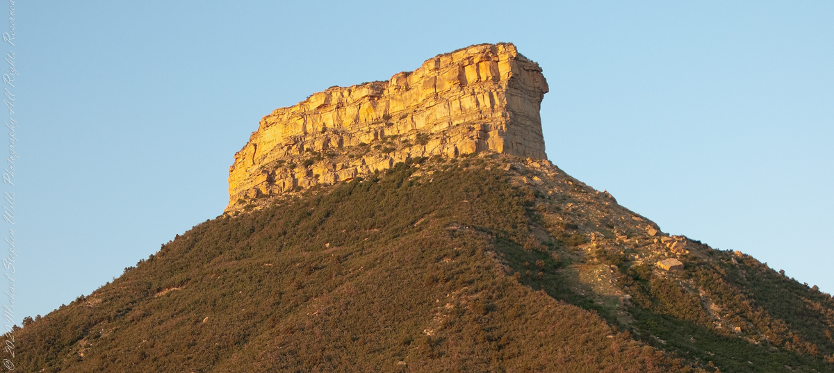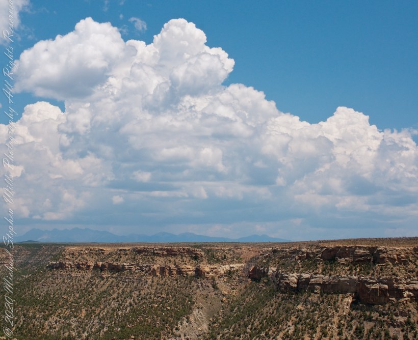
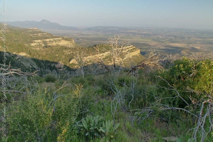
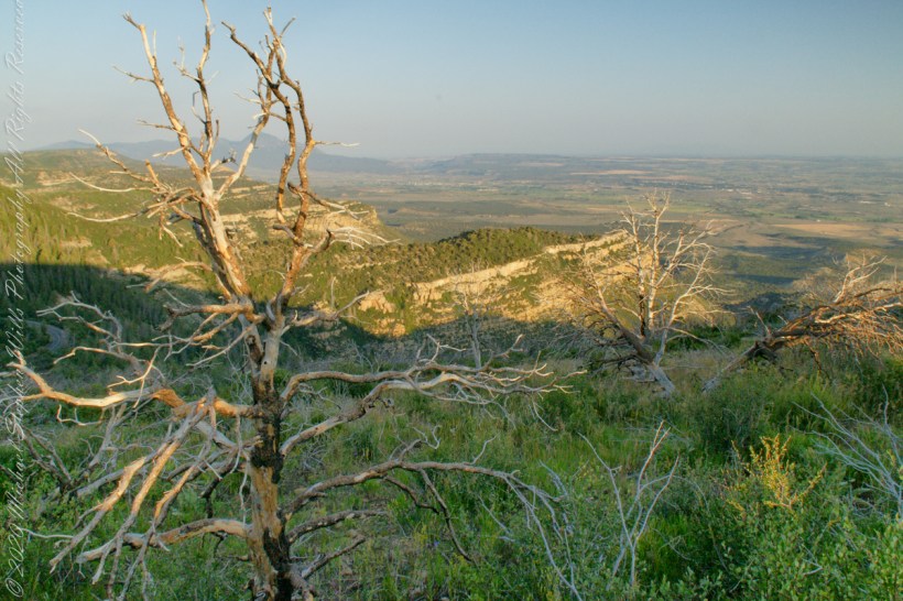
A pullover on the park road proves this, northwest morning view of the Mancos Valley. The lush grass in foreground is a reason the mesa is called “verde,” meaning green in the Spanish language.
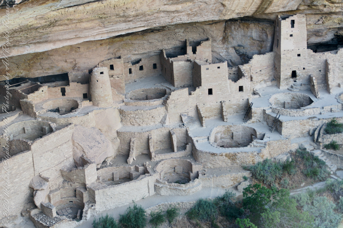
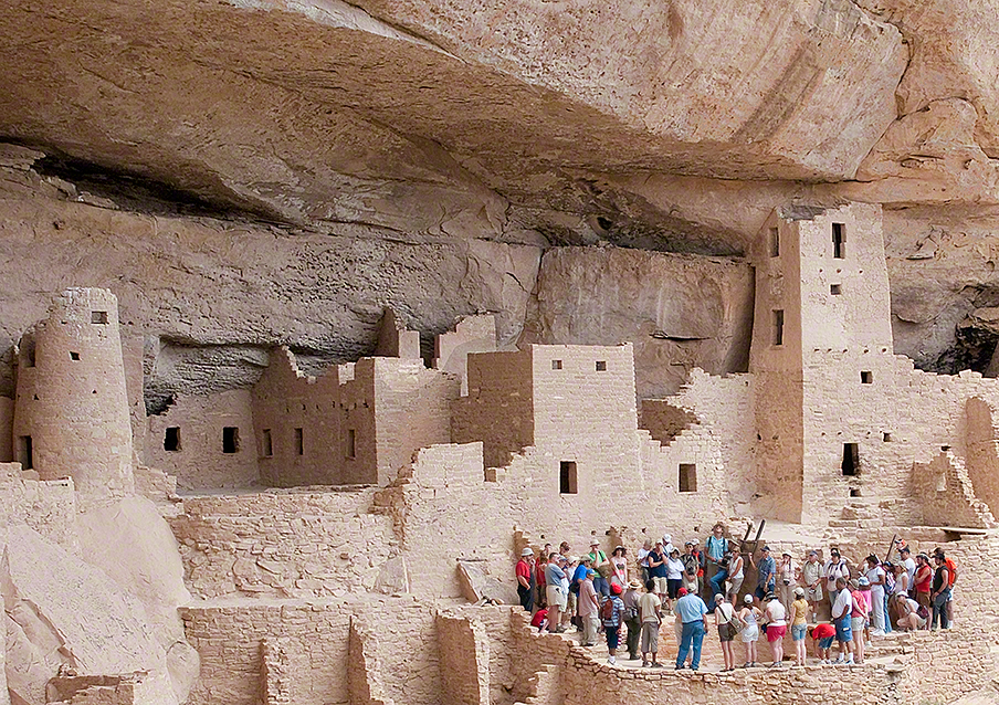
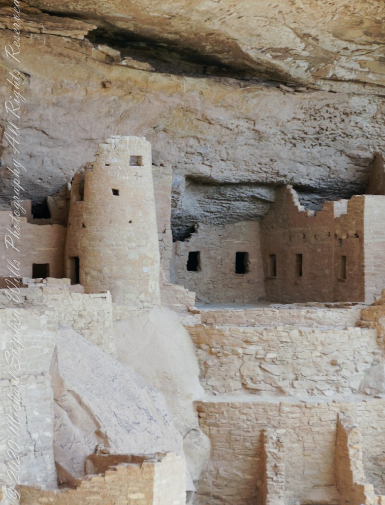
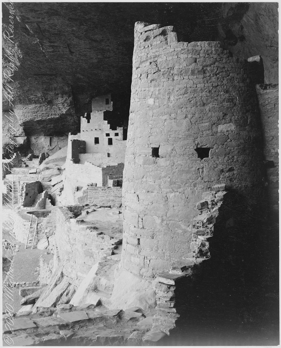
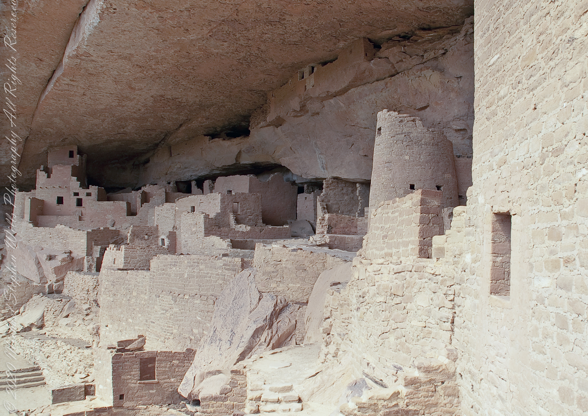
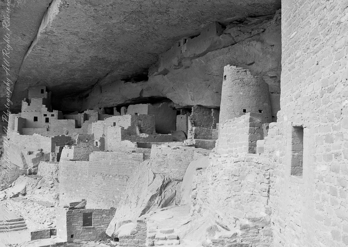
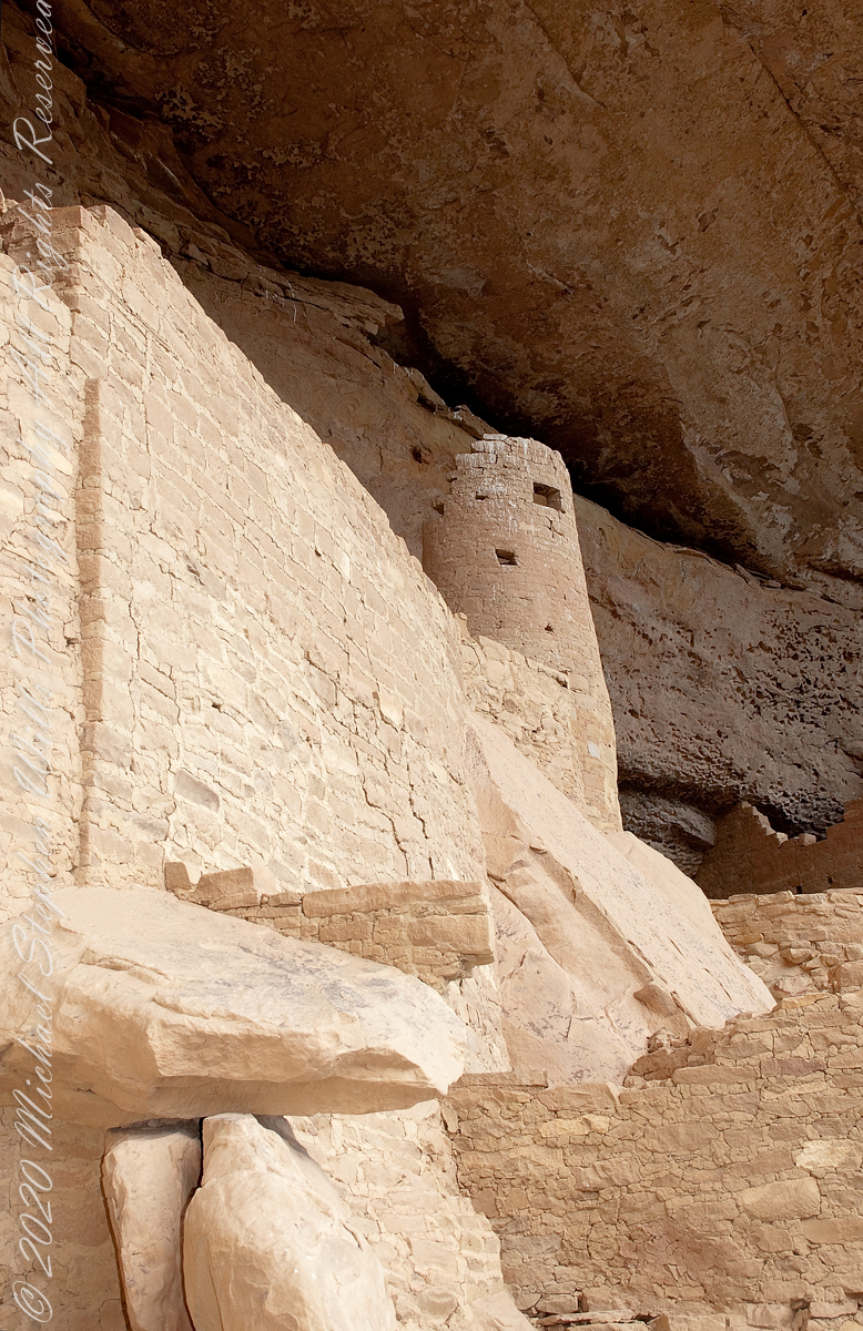
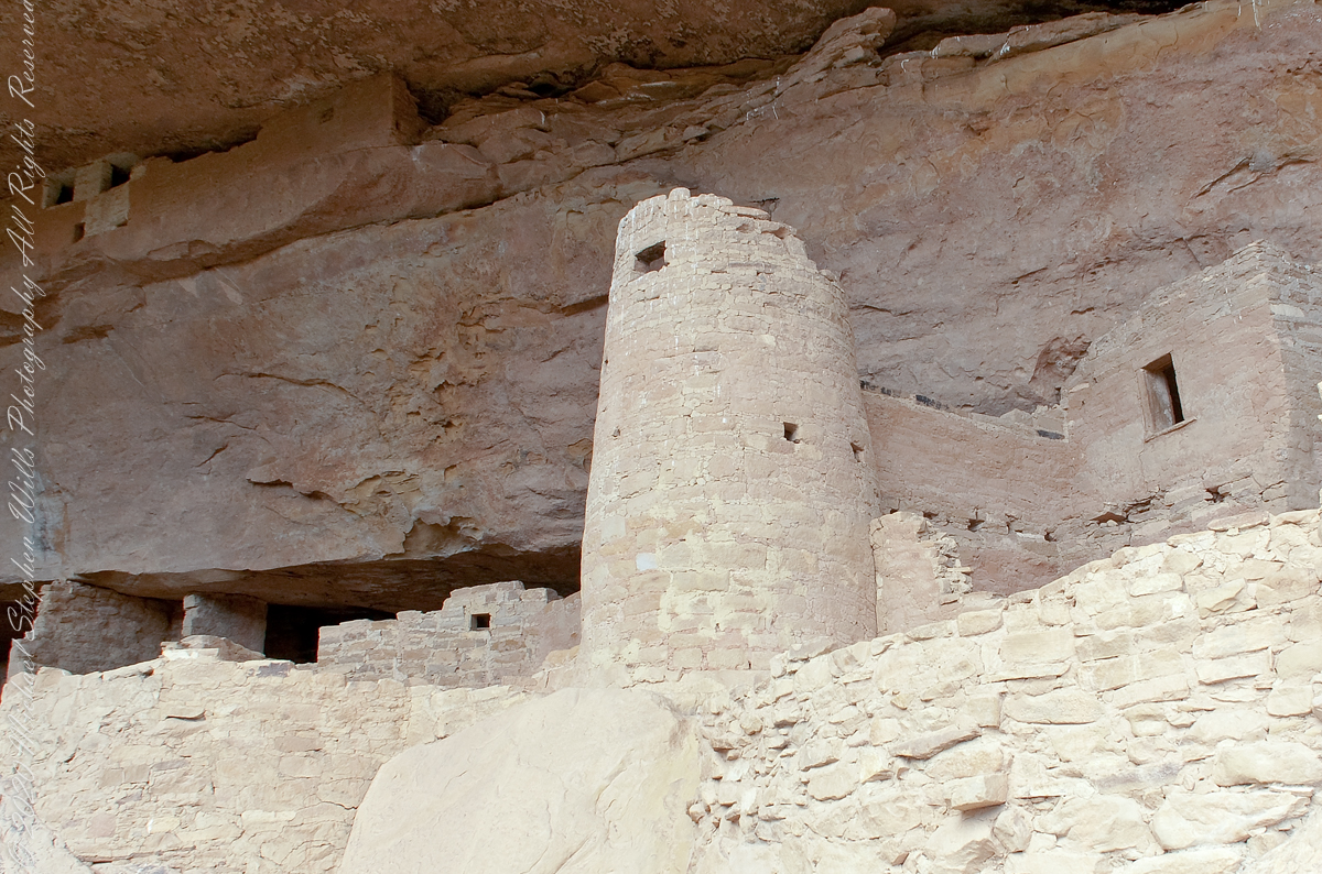
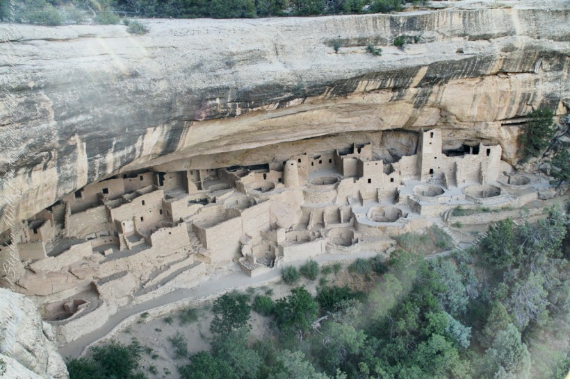
The Mancos Valley has been settled since at least the 10th century AD, although various severe conditions in the mid to late 13th century saw the area and its multitude of small villages abandoned by the Ancient Pueblo People (Anasazi).
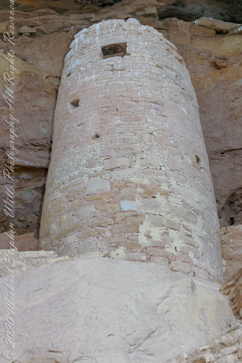
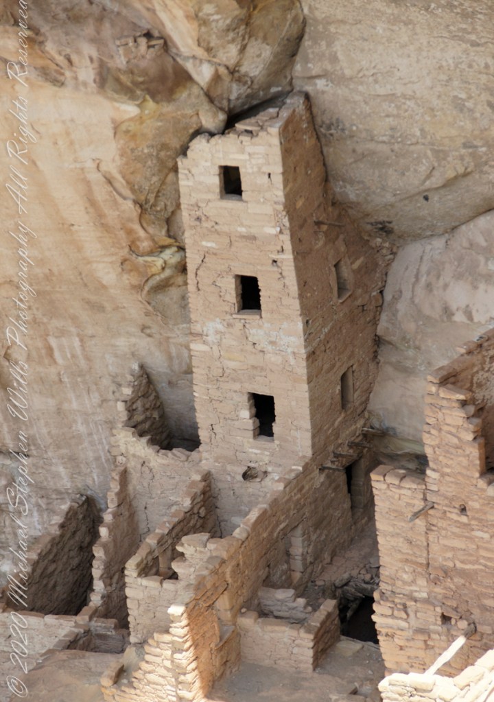
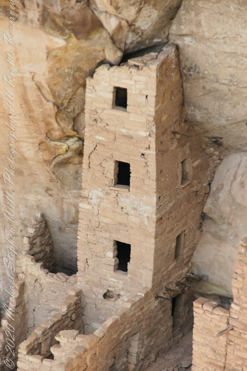
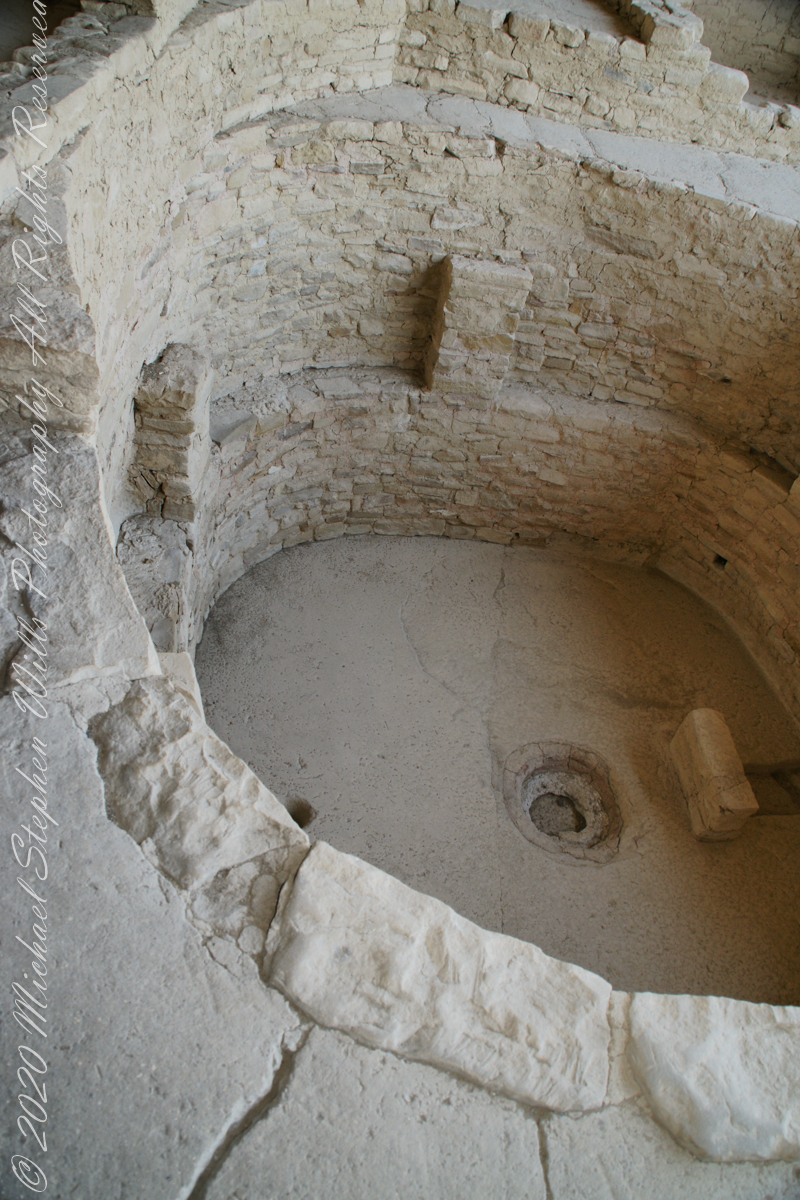
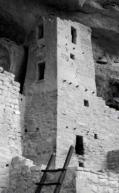
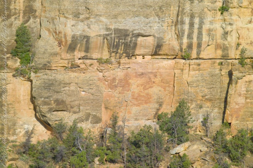
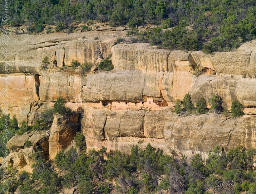
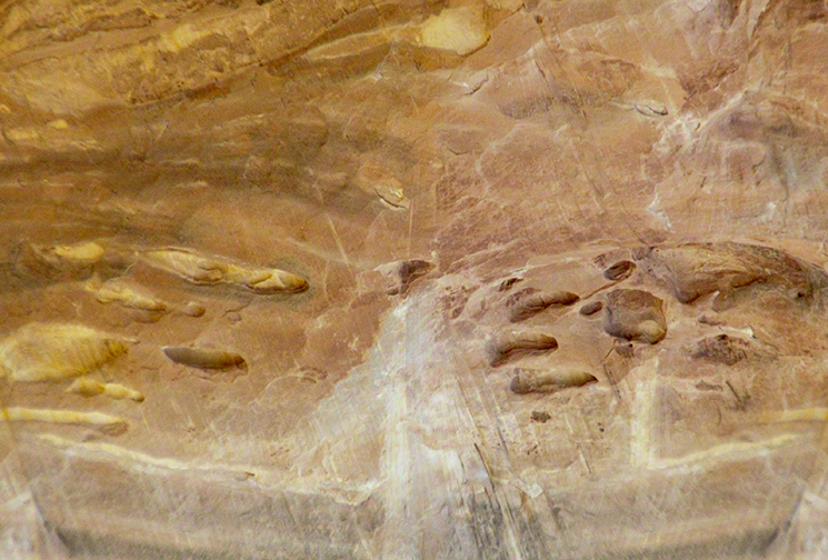
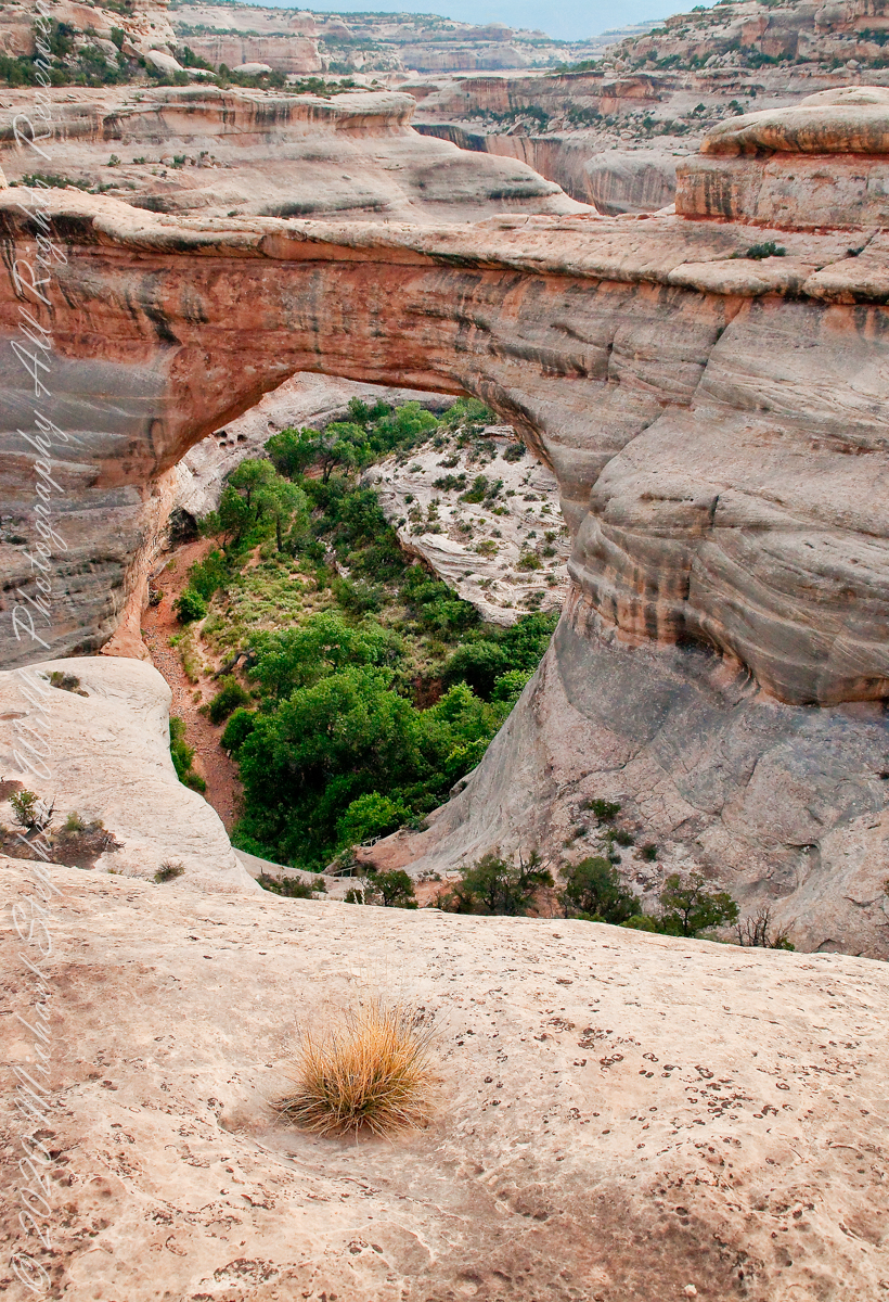
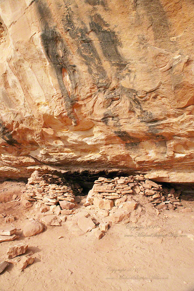
The Mancos area is dotted with inventoried and un-inventoried archeological sites, including both isolated houses and shelters and small village complexes. Mancos Valley residents were probably among those who withdrew to the cliff dwellings on Mesa Verde, perhaps for defensive purposes, due to climate change, or as part of concentration policy of possible invaders and occupiers of the region.
Control of the area was contested by nomadic Navajo and Ute people for centuries. Spanish friars and military passed through the area as part of the Old Spanish Trail connecting New Mexico and California in the 18th century. The name “Mancos” comes from the Domínguez–Escalante expedition of 1776, though the reason for the name remains unclear (see below). By some unverified accounts, the name Mancos refers to the crippled nature of the Spanish explorers’ horses after they crossed the San Juan Mountains. According to unverified lore, the horses were rejuvenated by the lush green grass in the Mancos Valley. Somewhere in the town is the point at which the expedition crossed the Rio Mancos on its way to California from Old Mexico. Mesa Verde National Park, Montezuma County, near Cortez, Colorado.
Reference
“Mancos, Colorado” Wikipedia
Click me for more Mesa Verde works in my Fine Art Gallery