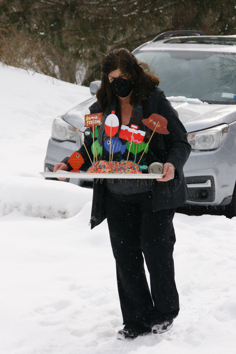
Cake design and production by Grandma for Rory’s Third 3 Birthday. On the lead up to the special day, Grandmother phones Rory to interview him for his birthday cake wishes. Rice Krispy treats drizzled with melted colored chocolate to resemble a coral reef. Chocolate cupcakes with homemade buttercream icing.
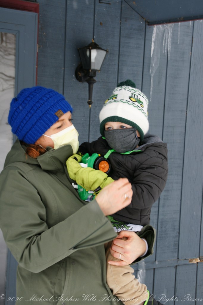
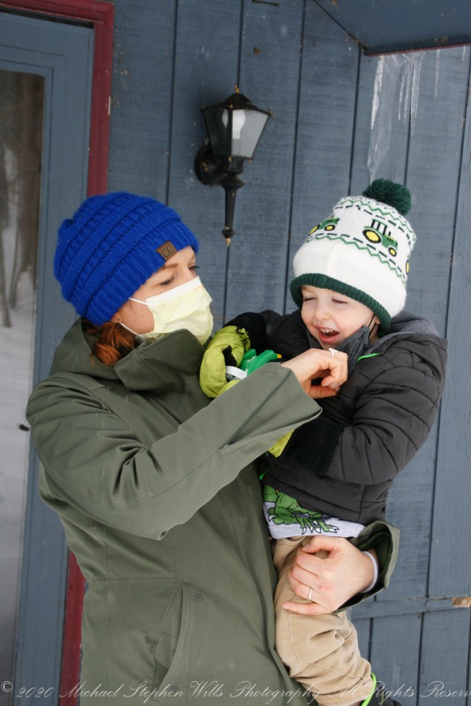
This was three years ago at the start of Covid-19 pandemic. We drove up his long, snowy drive way……
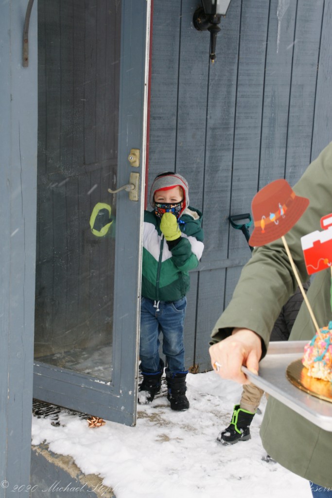
Rory, Mom and brother Sam welcomed us.
Pam had Swedish fish and other fixings for Rory to put on the finishing touches.
Copyright 2023 Michael Stephen Wills All Rights Reserved
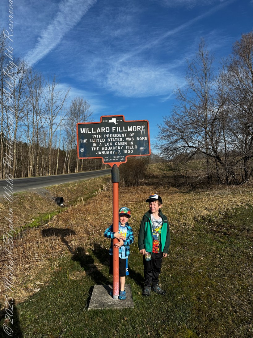
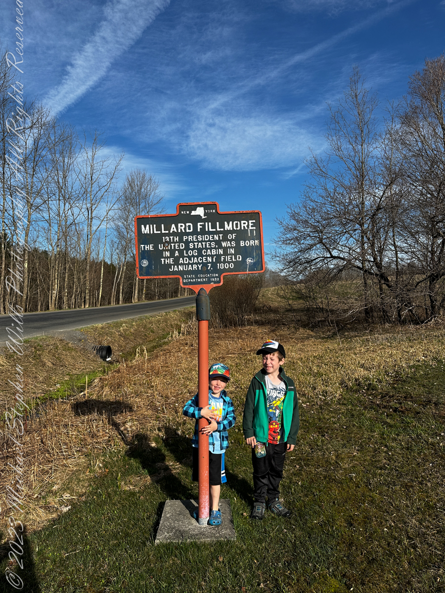
Last Friday the grandsons and I had an outing to the hills above Moravia in Cayuga County, there we visited the birthplace of Millard Fillmore. The site is a rather steep, rocky hillside near where the future President was born in a log cabin. He was not the last future President thus born, James Garfield in 1831 was born fatherless in Ohio in a log cabin. The future 20th President and the last to be so born. Nine years after Millard Fillmore, Abraham Lincoln was born, February 12, 1809 in the same residential circumstance and was the first future President born west of the Appalachian Mountains at Sinking Springs Farm, Kentucky. At least seven (7) future USA Presidents were born in log cabins, the others are: Andrew Jackson, James K. Polk, James Buchanan, Andrew Johnson, Chester A. Arthur.
There is quite a bit to do at this open air museum: educational signs, split rail fencing from that time, a pavilion build from concrete, steel I-beams and a metal roof with picnic tables where we played games.
On the way to Fillmore Glen New York State Park to visit an actual log cabin from that time, we stopped at the Lickville Cemetery on Lick Street. Opened a few years after Fillmore’s birth, 1807, 180 headstones are still standing. We practiced sounding out words from the large carved letters on the stones.
After visiting the log cabin our day was interrupted by symptoms of a stomach flu that has been terrorizing all our families. Fortunately, I escaped. Our plan is to continue to explore Fillmore Glen at a later time.
More about Millard Fillmore from Wikipedia
Millard Fillmore was born on January 7, 1800, in a log cabin, on a farm in what is now Moravia, Cayuga County, in the Finger Lakes region of New York. His parents were Phoebe Millard and Nathaniel Fillmore, and he was the second of eight children and the oldest son.
Nathaniel Fillmore was the son of Nathaniel Fillmore Sr. (1739–1814), a native of Franklin, Connecticut, who became one of the earliest settlers of Bennington, Vermont, when it was founded in the territory that was then called the New Hampshire Grants.
Nathaniel Fillmore and Phoebe Millard moved from Vermont in 1799 and sought better opportunities than were available on Nathaniel’s stony farm, but the title to their Cayuga County land proved defective, and the Fillmore family moved to nearby Sempronius, where they leased land as tenant farmers, and Nathaniel occasionally taught school. The historian Tyler Anbinder described Fillmore’s childhood as “one of hard work, frequent privation, and virtually no formal schooling.”
Over time Nathaniel became more successful in Sempronius, but during Millard’s formative years, the family endured severe poverty. Nathaniel became sufficiently regarded that he was chosen to serve in local offices, including justice of the peace. Hoping that his oldest son would learn a trade, he convinced Millard, who was 14, not to enlist for the War of 1812 and apprenticed him to clothmaker Benjamin Hungerford in Sparta. Fillmore was relegated to menial labor, and unhappy at not learning any skills, he left Hungerford’s employ.
His father then placed him in the same trade at a mill in New Hope. Seeking to better himself, Millard bought a share in a circulating library and read all the books that he could. In 1819 he took advantage of idle time at the mill to enroll at a new academy in the town, where he met a classmate, Abigail Powers, and fell in love with her.
Later in 1819 Nathaniel moved the family to Montville, a hamlet of Moravia. Appreciating his son’s talents, Nathaniel followed his wife’s advice and persuaded Judge Walter Wood, the Fillmores’ landlord and the wealthiest person in the area, to allow Millard to be his law clerk for a trial period. Wood agreed to employ young Fillmore and to supervise him as he read law. Fillmore earned money teaching school for three months and bought out his mill apprenticeship. He left Wood after eighteen months; the judge had paid him almost nothing, and both quarreled after Fillmore had, unaided, earned a small sum by advising a farmer in a minor lawsuit. Refusing to pledge not to do so again, Fillmore gave up his clerkship. Nathaniel again moved the family, and Millard accompanied it west to East Aurora, in Erie County, near Buffalo, where Nathaniel purchased a farm that became prosperous.
Copyright 2023 Michael Stephen Wills All Rights Reserved.
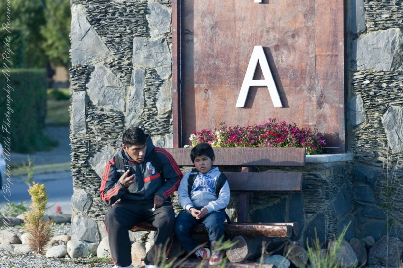
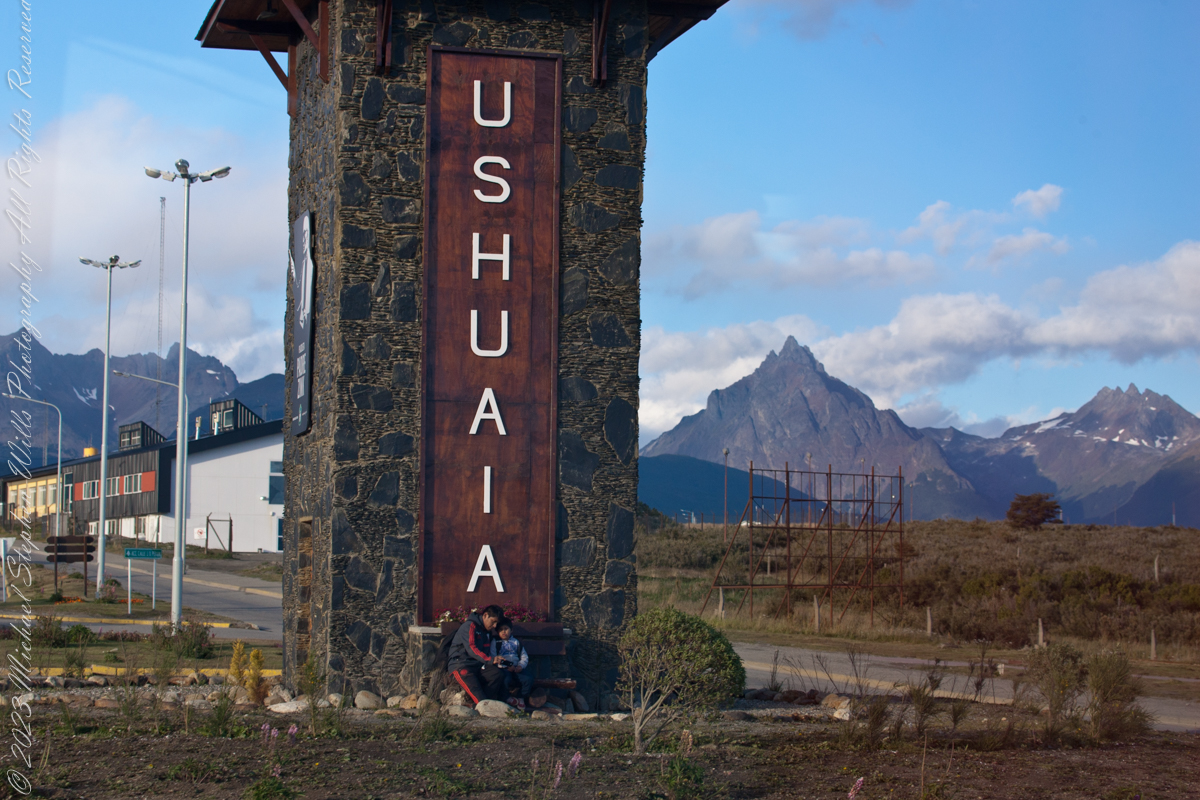
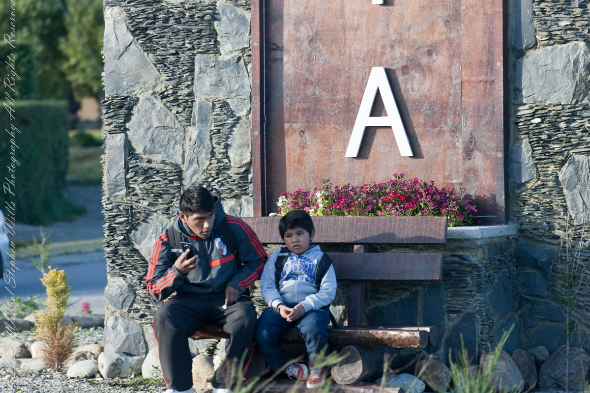
On our way back from “The Train at the End of the World” and sailing the Beagle Channel, these two young people came into view. Sitting at the foot of the a tower welcoming airport arrivals, who must transit this roundabout, is a pair of young people. In my imagination they were brothers waiting for a ride. In the first long wide shot the older is taking their selfie with the Ushuaia.
Here we at at the “center” of this city set spectacularly against the Fuegian Andes, the southern continuation of the Andes mountain range immediately south of the Strait of Magellan. with a West-East orientation. They occupy the mountainous and mountainous portion of the southern archipelago of Tierra del Fuego.
In this second, close photo, he is talking to the ride on his smart phone, after sending the selfie. The roundabout is named “Hipólito Yrigoyen” after an Argentine politician twice elected President.
Here is more information about the man:
Juan Hipólito del Sagrado Corazón de Jesús Yrigoyen (Spanish pronunciation: [iˈpolito iɾiˈɣoʝen]; 12 July 1852 – 3 July 1933) was an Argentine politician of the Radical Civic Union and two-time President of Argentina, who served his first term from 1916 to 1922 and his second term from 1928 to 1930. He was the first president elected democratically by means of the secret and mandatory male suffrage established by the Sáenz Peña Law of 1912. His activism was the prime impetus behind the passage of that law in Argentina.
Known as “the father of the poor”, Yrigoyen presided over a rise in the standard of living of Argentina’s working class together with the passage of a number of progressive social reforms, including improvements in factory conditions, regulation of working hours, compulsory pensions, and the introduction of a universally accessible public education system.
Yrigoyen was the first nationalist president, convinced that the country had to manage its own currency and, above all, it should have control of its transportation and its energy and oil exploitation networks.
Between the 1916 general election and the 1930 coup d’etat, political polarization was on the rise. Personalist radicalism was presented as the “authentic expression of the nation and the people” against the “oligarchic and conservative regime”. For the ruling party, the will of the majorities prevailed over the division of powers. The opposition, on the other hand, accused the Executive Branch of being arrogant and demanded greater participation from Congress, especially in matters such as the conflictive federal interventions.
Reference: Wikipedia “Andes fueguinos” and “Hipólito Yrigoyen.”
Copyright 2023 Michael Stephen Wills All Rights Reserved
As of April 5th 1181 is the count of subscribers to this blog, an interesting number. The individual numerals sum to a prime number, 11. I appreciate each and every “1” added together, you readers. Thank You.
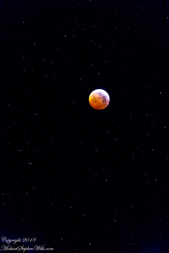
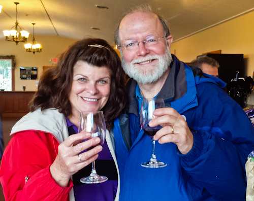
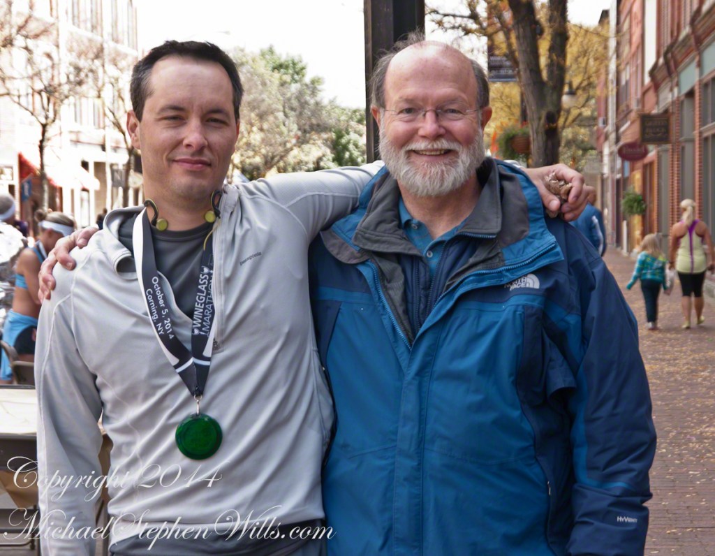
Coincidentally, yesterday 1,200 of my blogs are published….Here is a selection of images from these posts.
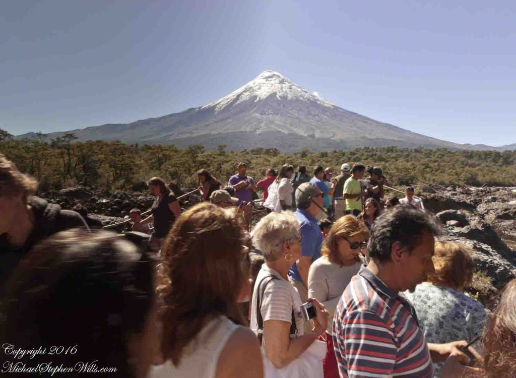
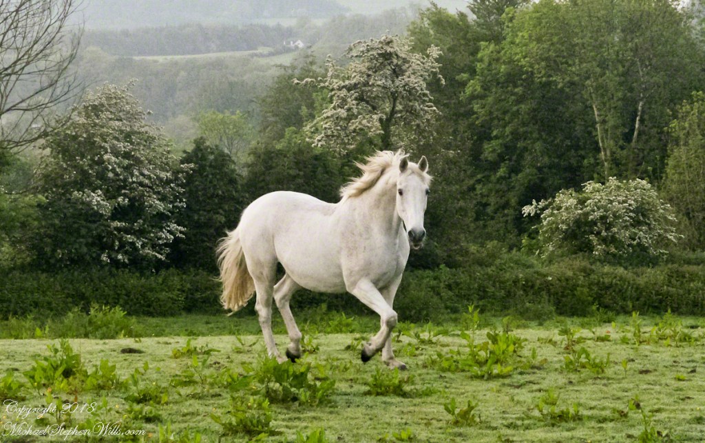
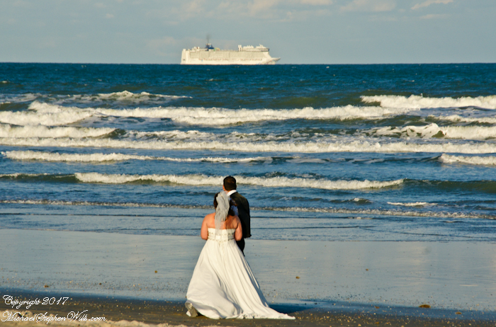
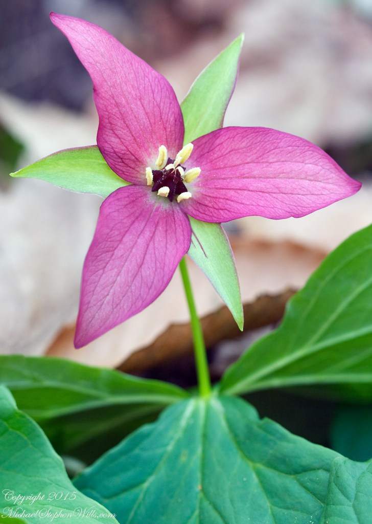
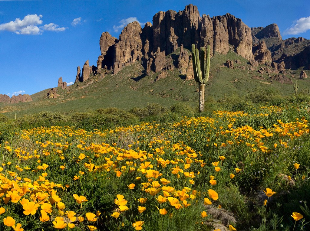
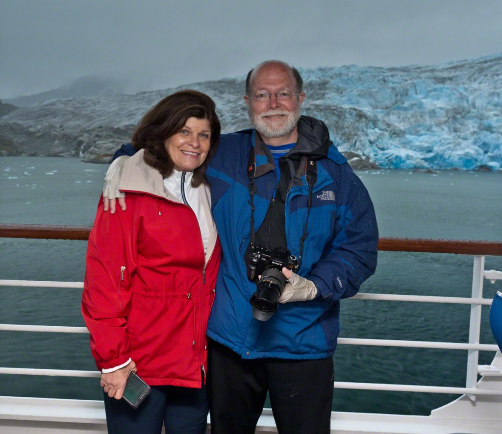
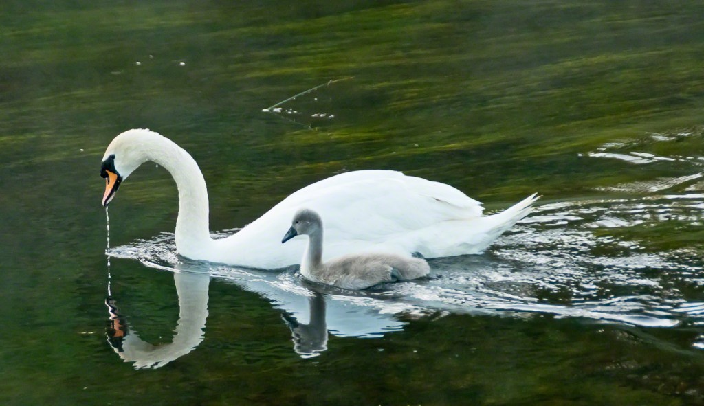
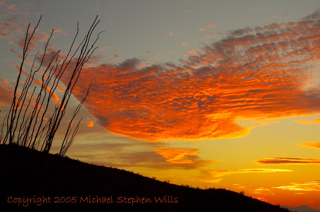
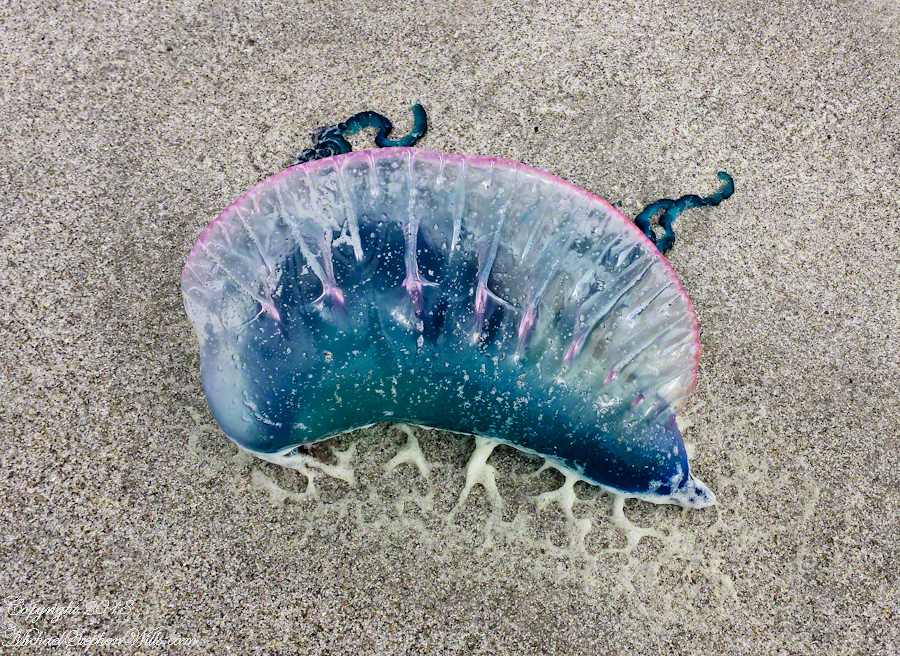
The trail at Petrohue Falls is packed with tourists on a sunny summer afternoon.Pam and Mike Wills stayed with Marantha House B&B, during our Spring 2014 Ireland Tour. It was our base in County Cork. Our day of arrival, that evening, I visited Charlemagne and fed him an apple, saved from dinner. We learned from our hosts, Olwen and Douglas Venn, he is a retired show horse they rescued. The following morning I visited Charlemagne again with an apple and my camera. As I walked up, starting from the far end of his field, Charlemagne rewarded me with a series of astounding poses, trotting toward me in fine form. The morning mists, hawthorn in bloom, distant hills came together for this memory.Newlyweds on Cocoa Beach waiting for the photographer in a perfect early evening light. A cruise ship departing from Port Canaveral in the distance.Trillium bloom April through May in central New York State. I found these blooming on the rim of Fillmore Glen near Owasco Lake and the town of Moravia.Don Roberto is on the bowMexican Poppies bloomed in profusion throughout the Superstitions after the plentiful winter rains of 2008.Pamela and Michael Wills with Iceberg Glacier, Bernardo O’Higgins National Park, Fjord Tempanos, Chile aboard the Oceania RegattaA swan and cygnet feeding from the pristine waters of the River Cong, County Mayo, Ireland. Outside the door of Ashford Castle.Ocotillo SunsetThe crest of the Portugest Man of War is very visible in the water, the sac can be inflated/deflated to catch the wind or even sink the organism to escape surface feeders.Another solution to the crooked horizon is to level, crop, and build out the lost portions, as I did here. Very time consuming….better to keep the horizon level in the camera, difficult for me to remember.Taken from the entrance.Hydrangea Ensenada ClubAleman Chile February 15, 2016
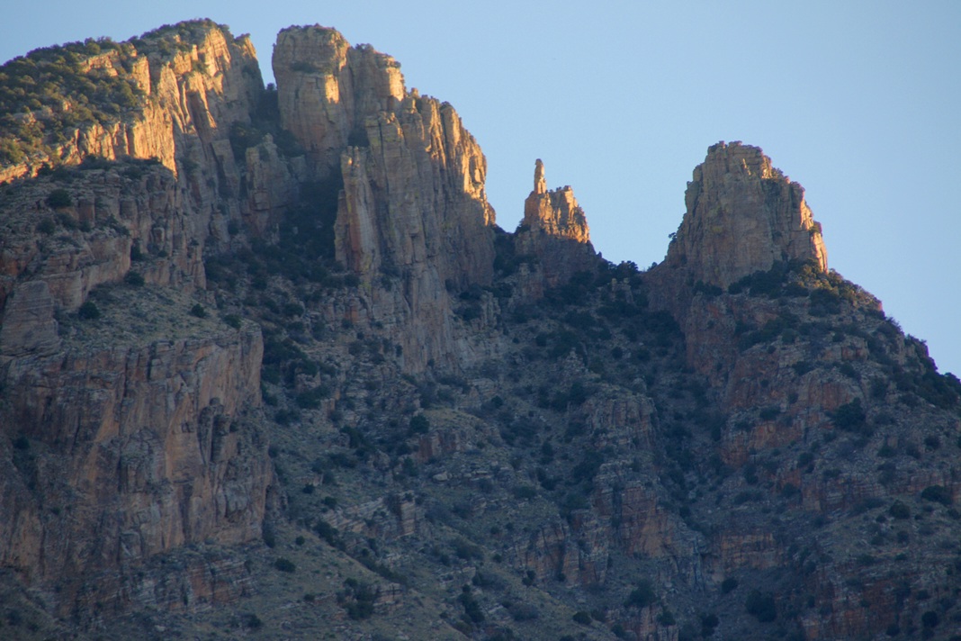
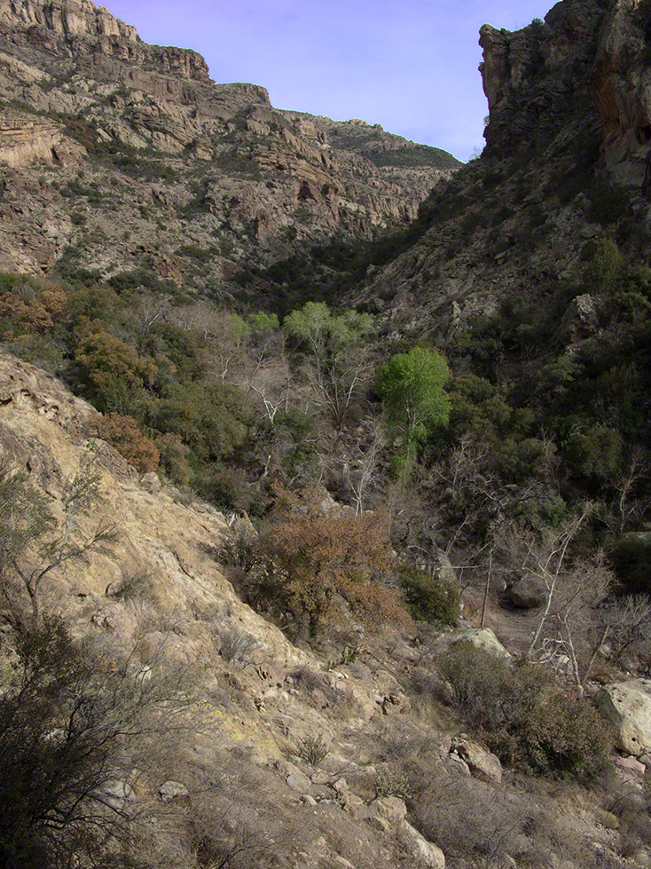
My visit to Finger Rock Canyon of the Santa Catalina Mountains filled two mornings. On the first morning, the subject was the lower canyon as morning light filtered over the eastern ridge.
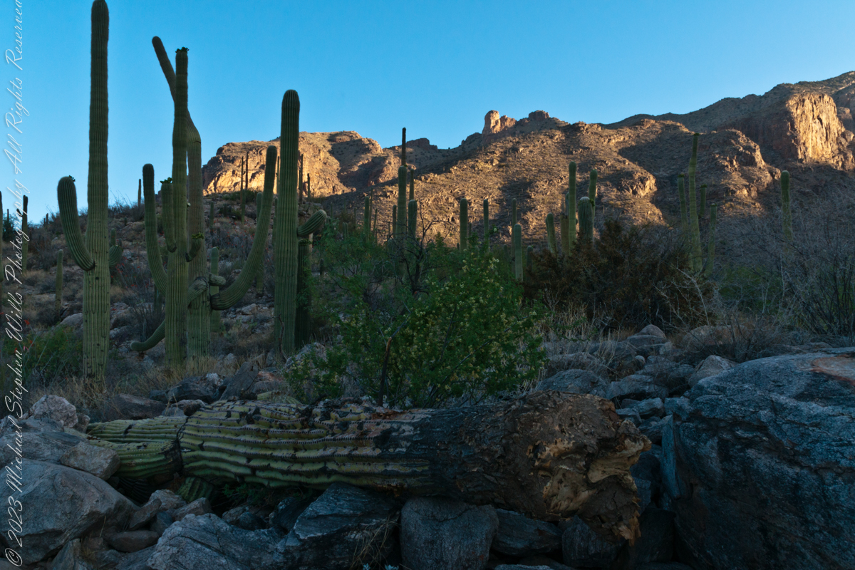
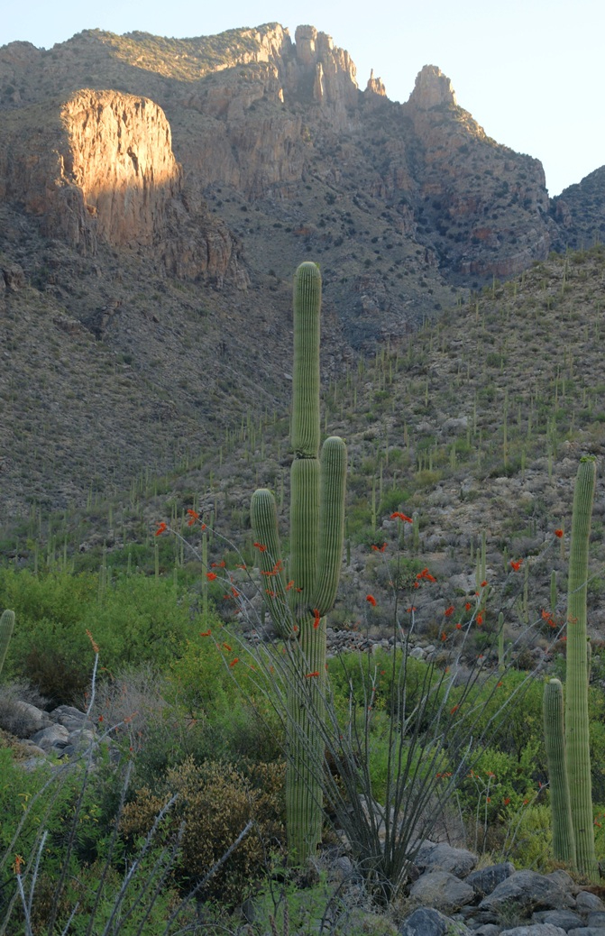
Early morning to the north / northwest looking over a 20-foot fallen Saguaro Cactus (Carnegiea gigantean), toward lower ridges of the Santa Catalina Mountains. The saguaro is among a stand of healthy fellows, some with new growth and flowers on the tips of arms and main columns. This giant must have grown over rock through 60 years. It was brought down when the roots weakened. Specimens that are more reliably rooted can live to 200 years.
A clump of brittlebush shrub (Encelia farinosa) grows from the same rock.
Pima Canyon is the next over, behind that near ridge which provides similar shade. Unlike Finger Rock Canyon, the Pima Canyon trail follows the western cliff and loses the shade much sooner. During our three-week trip, my wife, Pam, and I visited Pima in our first week.
These photos were taken between 6:20 and 7:00 am.
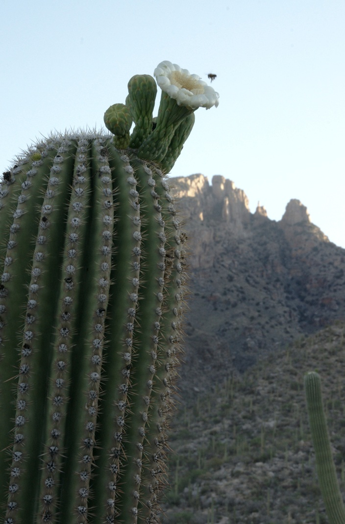
Along the trail I noticed a multitude of buds on the tip of selected saguaro arms. In a previous blog, there’s a photo of this same saguaro in the shade. The following series captures the one blossoming top just as the sun passes over the eastern, shadowing, ridge.
The same saguaro, two minutes later…….
Here is a portion of the saguaro forest, around 7 am with the lower canyon filled with light. There are a few foothill homes with west and southwest Tucson. The Tucson Mountains are in the distance.
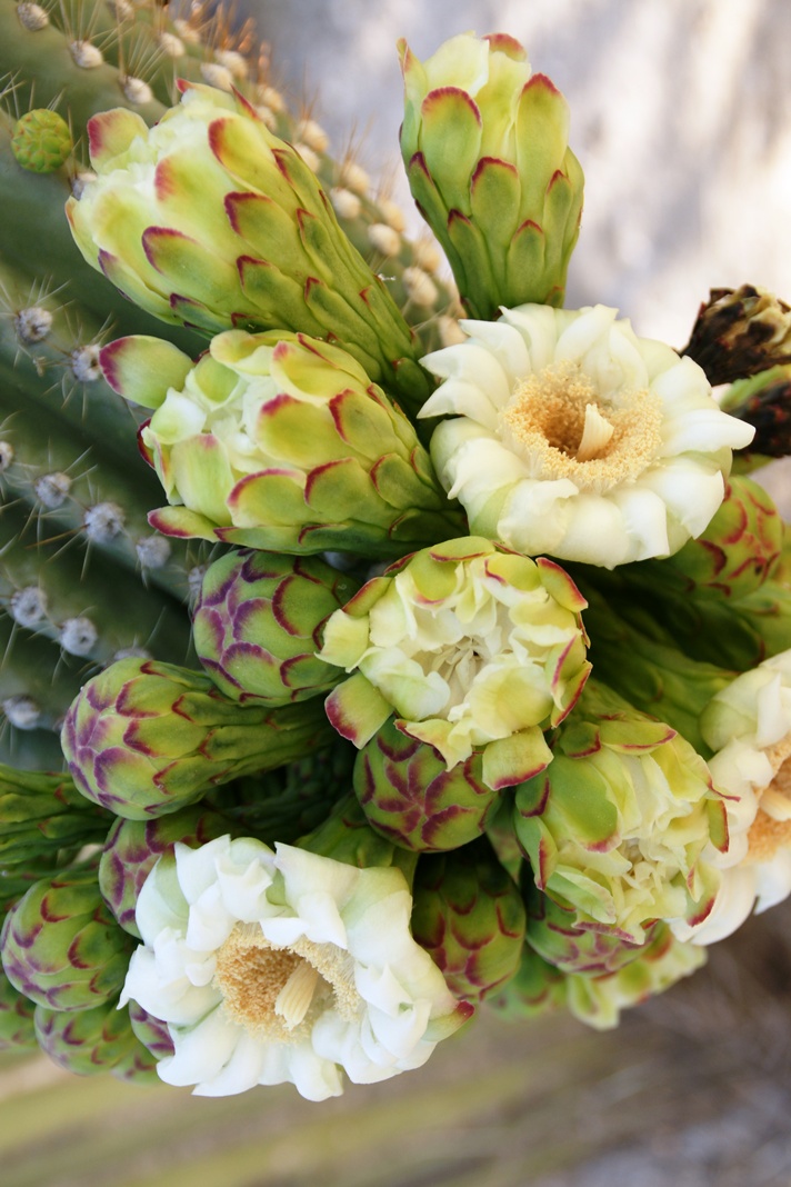
These photographs are a continuation of blogs from two days’ exploration of Finger Rock Canyon of the Santa Catalina Mountains, southern Arizona. Here we explore the nature of the Saguaro blossom.
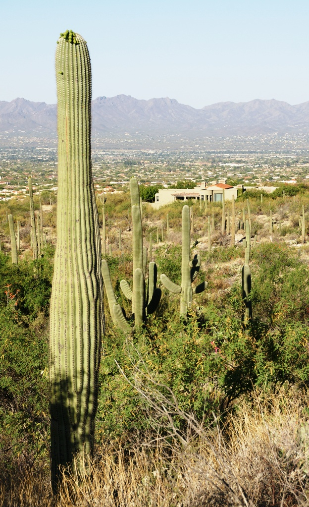
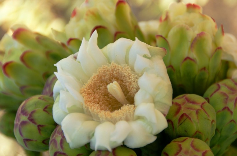
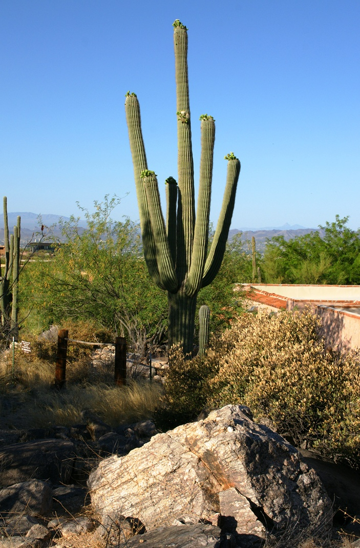
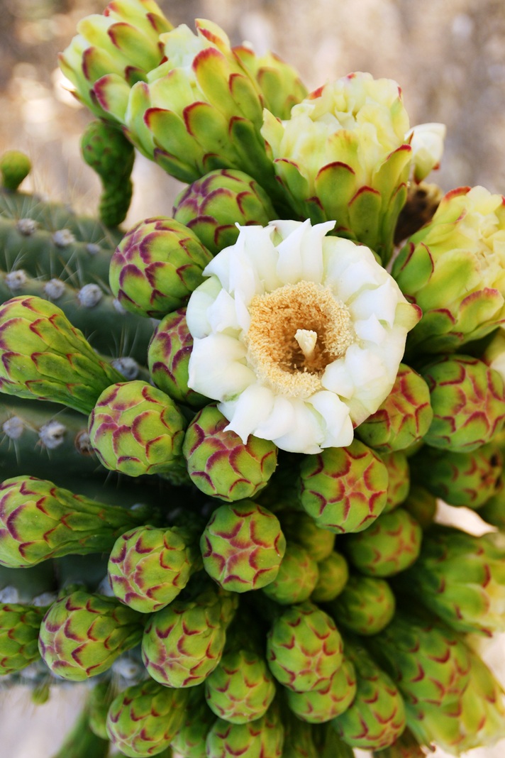
Saguaro flowers start as buds on the tip of the cactus body or arm. The specimen in the photograph below, growing in the yard of a foothills home on the border of federal land, is over 30 feet tall and, at the end of April 2011, buds are sprouting from every tip. Look closely for opening buds and full saguaro blossoms.
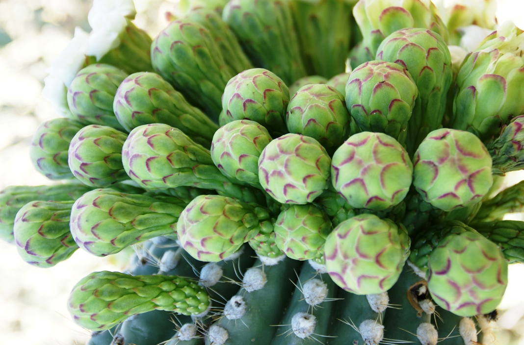
Flower buds grow only from some tips and around the center, along the sides, not from the point at the very end of the tip, from which the limb grows.
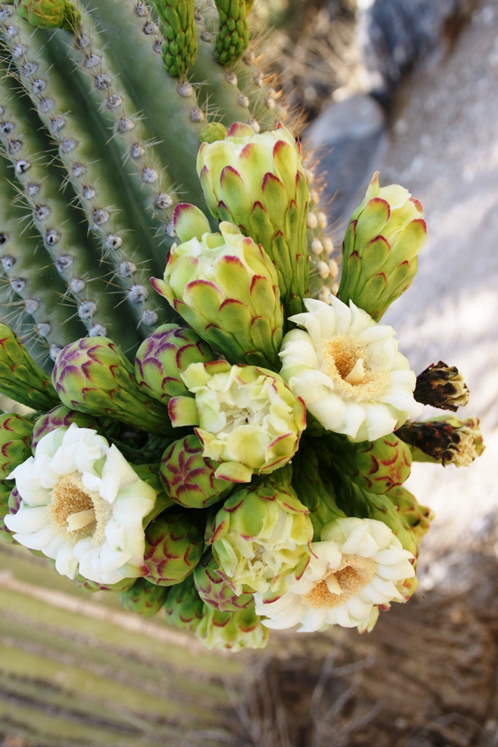
These buds first appeared mid-April and are here shown in the latter stages of maturity, prior to opening. Sometimes, the base of an arm weakens and the arm lowers close to the ground while remaining healthy. While descending the canyon I noticed this had happened to the arm of a particularly large specimen, an arm in full flower. This and the following photographs are from that arm.
I have read that each flower opens in the cool of the night and lasts only until the following afternoon. Here is a fully blossomed flower with a pair of opening buds.
And more, from a different view of the same arm.
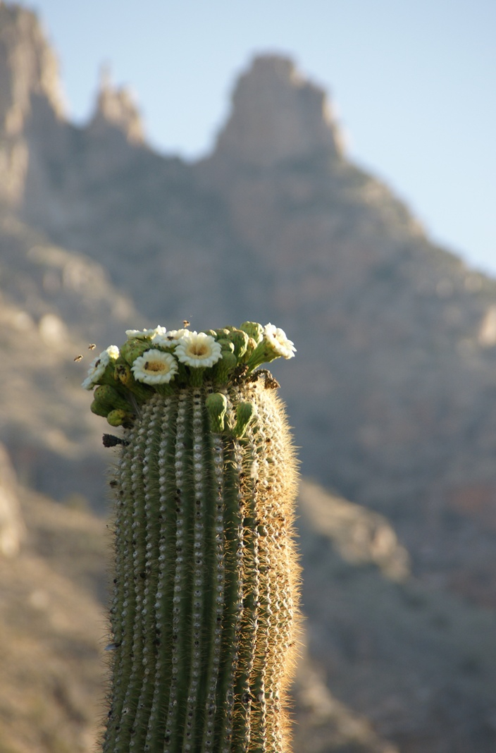
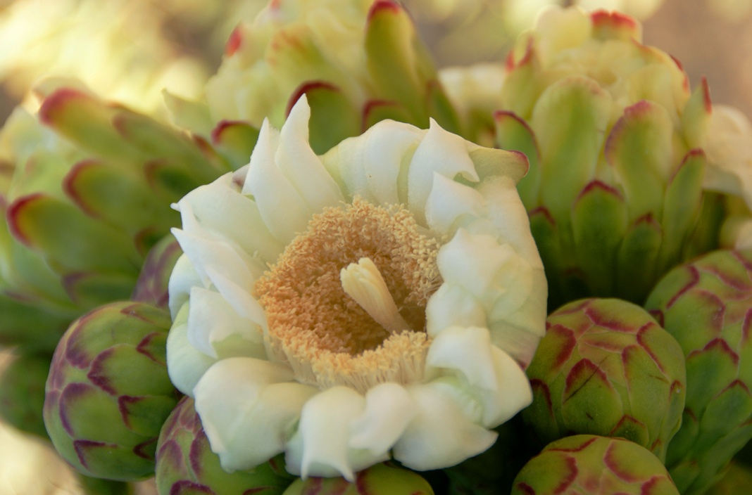
A saguaro flower in full bloom, having opened the previous night. This flower will last a single day. It will wilt in the heat of a single afternoon and close. In this brief time, flying animals will pollinate it. You can see numerous honey bees on the flowers, in a previous blog, “Saguaro Flowers in Finger Rock Canyon.”
The perfection of April in Tucson is nowhere better than mornings spent in Finger Rock Canyon of the Catalina Mountains. Oriented on a north/south axis, the eastern cliffs shed a long shadow well past 9:30 am. For early risers such as me, this means no hat and cool hiking to the canyon head: the trail hugs the eastern cliffs.
These three shots were taken 5:30 – 6:00 am mountain time (Arizona does not follow daylight savings time except on the Navajo Reservation).
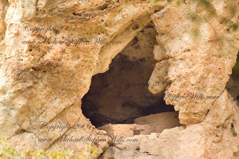
About 700 years ago, when the expansion of the Mongol empire was under way, on the other side of the planet people discovered a series of caves, formed in tuff, with a favorable location in a south facing cliff near water. Tuff, a rock formed from volcanic ash, is hard, brittle and soluble in water. From these properties this series of caves formed. The southern exposure provided excellent climate control for people, like those we now call the Salado, who understood how to exploit the location.
They constructed from local materials (mud, plants and rock) rooms in the upper cave just far enough inside to be warmed by the winter sun and protected during the summer when the sun’s sky-path was higher. Who knows how long the Salado lived in what must have been this paradise or why they left.
In March 2006, after returning from a nine-day backpack trip to the remote eastern Superstition Wilderness I used a four-wheel vehicle to reach the Roger’s Trough trailhead for a day trip to this site in Roger’s Canyon. The advantage of Roger’s Trough is the high elevation that leaves “just” about 1,100 feet of climbing (2,200 total) for the day. As it happens, it is downhill to the ruins though there is plenty of ups and downs plus scrambling over rocks.
I started late morning and a returning party met me on the way out and warned against leaving packs unattended. It seems they were victimized by pack rats. My timing was lucky and I had the site to myself.
First (refer to the “Roger Canyon” photograph, above) I climbed the cliff opposite from the ruins to set up a tripod an telephoto lens to shoot through the trees to capture the main building inside that very interesting looking tuff (see below). That central column (to the right) divides the cave opening and there are views from inside, up and across the canyon. In season, the cliffs are occupied by nesting birds and, higher up, there are fascinating caves in locations too high and steep to reach without the proper equipment.
As it is, climbing into the upper cave requires an exposed rock scramble. By “exposed” I mean the climber is exposed to falling. That is an intact wooden lintel of the visible structure opening and the larger structure, to the right, has curved walls.
Salado Cave Ruin
I then explored in and around the site. The location of a lower cave made it useful for storage, it was walled off and the sturdy structure still stands today. By the way, I inverted this view for artistic purposes.
Lower Storage Room
A lower cave is opened and accessible. Looking out, I felt the original inhabitants were with me and then a raven started calling over and over and over.
Lower Cave
I was so fascinated by the possibilities of the site that time got away from me until this incessant cawing of a raven made me notice the lengthening cliff shadows. Here is a view (see below) of my way home, back up Rogers Canyon. My last shot before packing up. It took just over two hours to get out, at a steady pace. It was twilight as I approached the Rogers Trough trail head.
By the way, my posting before this one (“Finding Circlestone”) includes a shot of White Mountain. In that view, these ruins are on the other side of White Mountain.
View up Rogers Canyon from the Ruins
Copyright 2023 Michael Stephen Wills All Rights Reserved
I first learned about Circlestone from stories The Searcher told during my first backpack into the eastern Superstition Mountains, on the Tule trail, April 2005. I described this in “Riding from Pine Creek to the Reavis Valley” where the Searcher described a stone circle, overgrown with Alligator Juniper, on the slopes of Mound Mountain. He pointed south toward a peak and foothills that rose from the valley floor and said, “follow the fire trail east from the southern Reavis Ranch valley.” There were strange happenings associated with Circlestone (as he called it) and he’d never taken the time to go there. “There is a book full of stories.” I eventually sought out Circlestone on the web and in books, but after I found it on my own using only the Searcher’s directions and advice from friends met on the way.
Sunset from Castle Dome
Backpacking with my sister
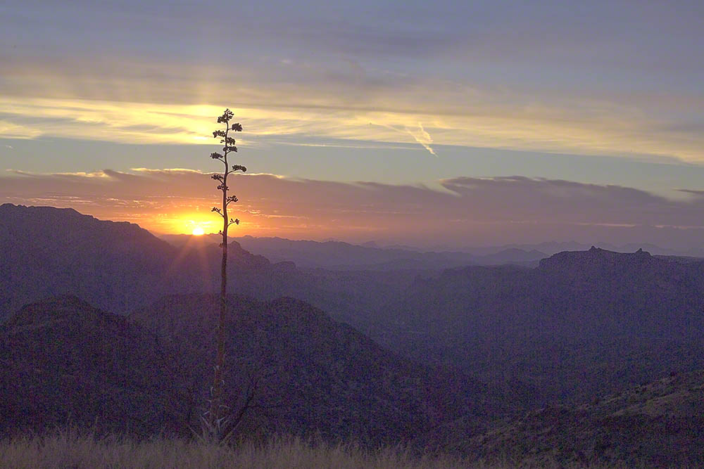
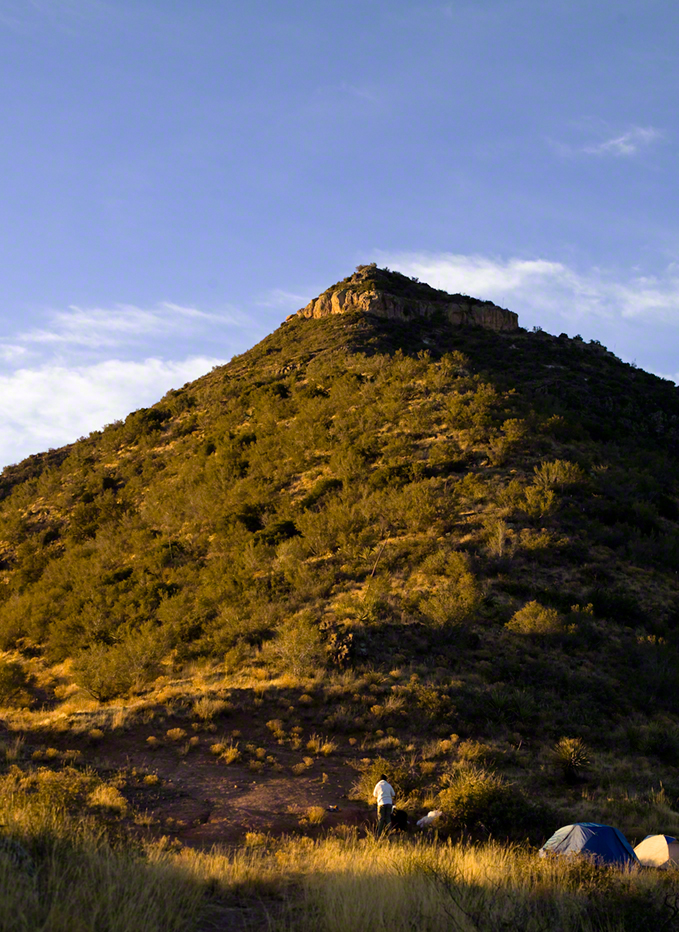
In 2006 I explored Circlestone twice along with my sister, Diane, who accompanied me. First for nine days early March 2006 using the Reavis Ranch trail from the north and the second for five days in November 2006, coming us the same trail from the south. Our first trip was Diane’s first “real” backpack adventure and we took it slow with a camp at Castle Dome where there are flat areas and exceptional views. Above, is the sunset from our second night (I camped the first night next to the car…we took it very, very sloooowwww).
Four Peaks Sunrise
Castle Dome
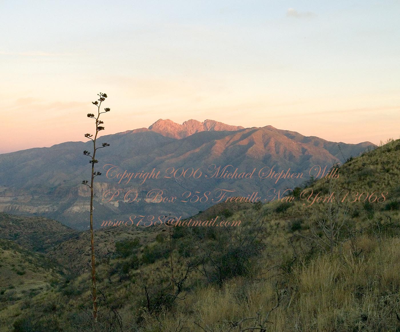
Then, there was morning of our third day. Here is the Four Peaks Wilderness in the first rays of dawn. These are green, rolling foothills of grass, low shrubs and a few juniper. If you know where to look, there’s an unmarked trail to Reavis Falls (the highest waterfall in Arizona). I found the trail and visited the falls on a later trip.
Castle Dome Sunrise
After enjoying the Four Peaks, you turn around and see Castle Dome in the morning light, as in this photograph. Remember the same of the “dome”, because it is visible from the ultimate view from Circlestone.
Reavis Valley and White Mountain from the trail to Circlestone
The Trail to Circlestone
Our camp was in the Reavis Valley, one of the first sites along the creek coming from the north. There were fantastic rock formations across the creek. Not far from there, the land falls away into steepness and then Reavis Falls. The Searcher told me about going that way, once. There is no trail down to the falls overlook and deep canyon carved by the water.
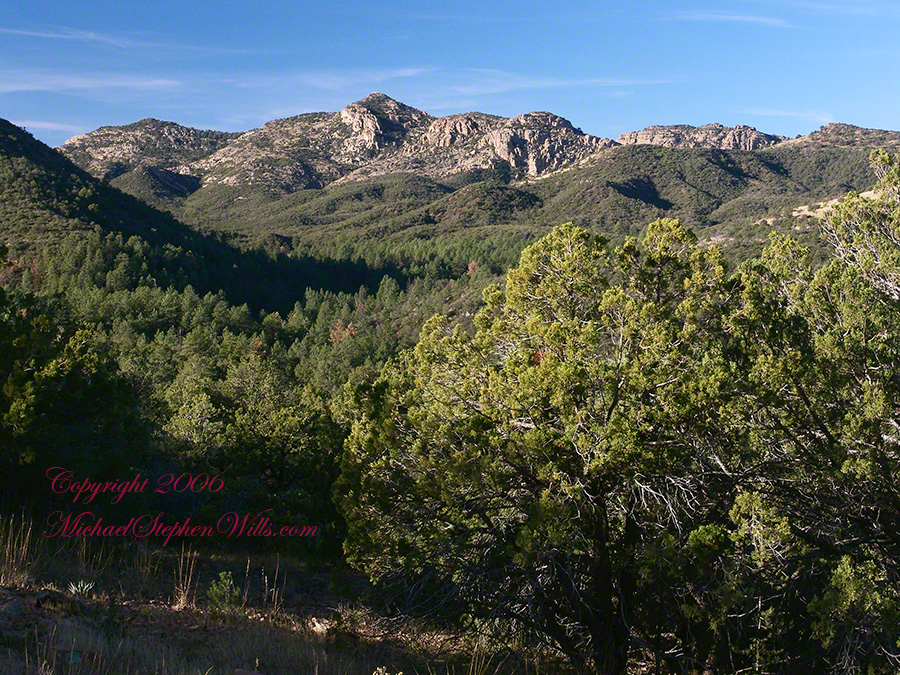
This photograph, above, is from a lovely forest of pinyon trees that grow along the trail to Circlestone (described by the Searcher as rising from the southern Reavis Valley). You can see the valley, just to the right, and a longer and steeper valley that rises from it up to White Mountain. That way is the southern legs of Reavis Trail. I have a movie clip from this same spot of the pinyons moving in the breeze and may post it at a later time.
All of the trail to Circlestone is a climb. You pass over “Whiskey Spring”, named for a still kept there in the 1800’s and over a steep defile gouged from the rock. The trail is well marked and I am told that, sometimes, there is no cairn marking the trail to Circlestone. If you are desperate to get there, look-up some excellent hiking directions available on the web. I have even found the circle on GoogleEarth, since I know where to look. If you like a challenge and the adventure, go from the directions the Searcher gave me.
Four Peaks from Circlestone
From the fire line trail, the unmarked branch to Circlestone climbs steeply and follows a ridge through Alligator juniper, punctuated by stalks of century plant, to a broad way that rises to Circlestone as though to a monument overgrown by the same juniper.
My Circlestone Mystery
There was an unusual experience on our first trip, on this portion of the trail. We were winding through the Juniper and, as it happened, Diane fell behind. After awhile I missed her and waited and, after a minute, went back to look for her. I found Diane sobbing uncontrollably, deep in grief over our father who passed away eleven years before. We talked about it until she felt better. She said it was as though a door opened and she could feel out father. What makes this exceptional is Diane is not given to anything like this and I ascribe her deep grief to the nature of the site. It is a mystery to this day.
At Circlestone, that first trip, we explored and experienced the site. You cannot see the entire wall at any point and need to wander through and over it, being careful not to disturb anything. Here and there, in the outer wall, are openings like the one in this photograph.
Site-Hole in the Circlestone Wall
At Circlestone
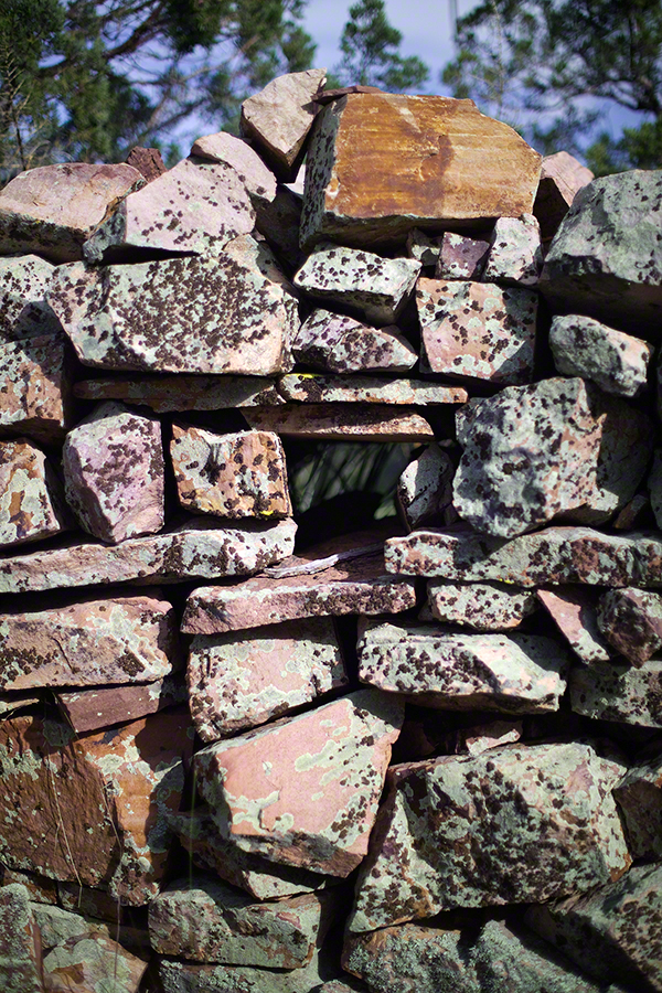
I call it a site hole because, on your knees, it is possible to look through and see the distant view through the trees. As you can see, the stones are a striking red color with green lichen growing thick.
On the second trip in November, knowing the way and having great weather, I brought my cameras to capture the exceptional views, one of which is above. I’d dearly love to come back to camp just below the ruin and do some work in the evening and morning light. For now, I can enjoy those views from Castle Dome.
Three Horsemen and Castle Dome
Can you see the dome in the middle distance. I did a portrait of three horsemen who road up to Circlestone in November. We came to know them pretty well, that afternoon and the following morning down in the valley.
Three Horsemen
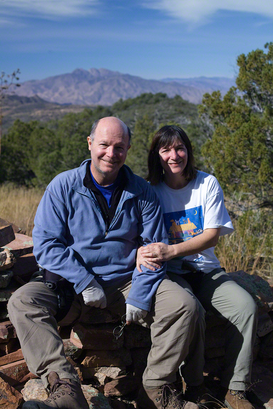
I carted up a tripod, so you can see Diane and I in the same spot.
Mike and Diane at Circlestone
Copyright 2023 Michael Stephen Wills, All Rights Reserved
Some nights I travel to the farthest reaches of the universe right from my backyard. Here is a guide to the spring night sky for those of you in the northern hemisphere. Even sunbathing we are time travelling, bathed in starlite over 8 minutes old. Time taken by sunlight to reach Earth = (150,000,000/3,00,000) seconds = 500 seconds = 8 minutes 20 seconds).