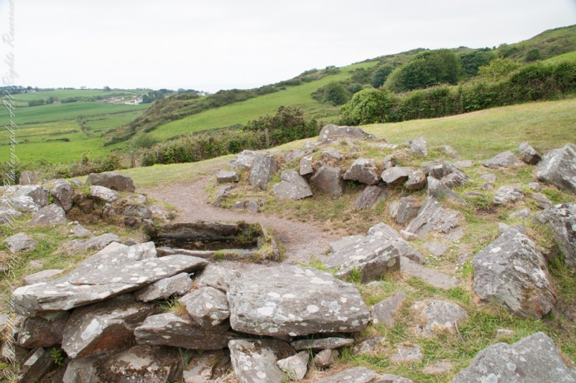
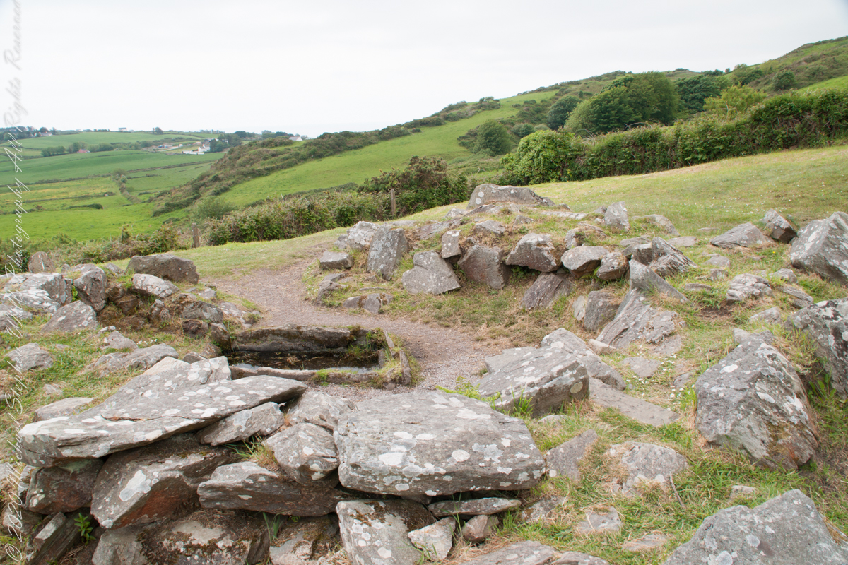
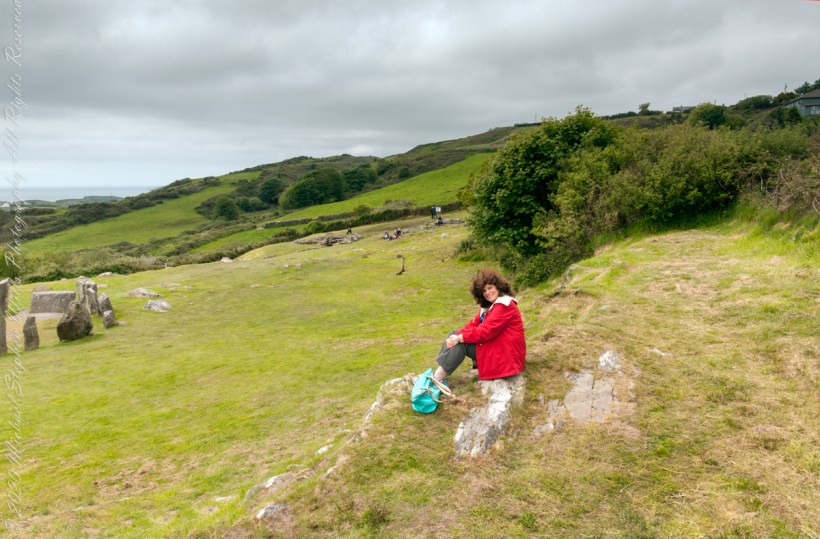
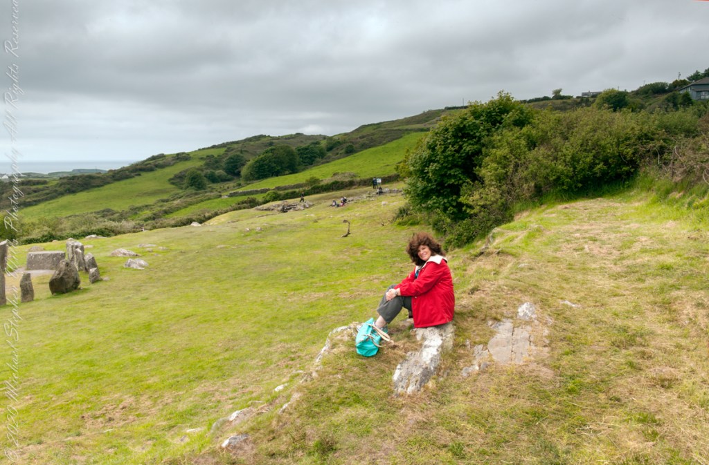
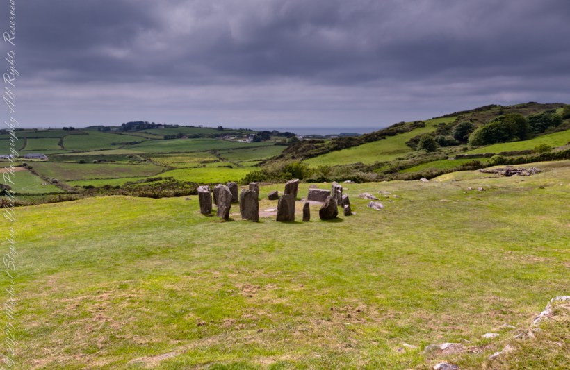
Notice the groupings of visitors in the middle distance of Pam’s photograph, gathered around remains of late Bronze age elements.
Click pic for a larger view, in a new tab. When using WordPress Reader, you need to open the post first.
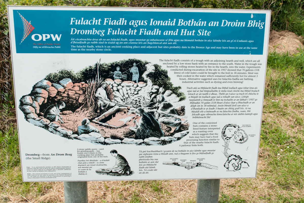
There is a sign to explain…
Trach atá sa bhfulacht fiadh le brutháil teallach agus tobair lena ais agus atá dúnta ag falla cloiche íseal le hiontráil soir. Líonadh an traid trí clocha te a théamh ar theallach agus a n-aistriú isteach sa traid lán le huisce fuar. Léiríodh le turgnamh a rinneadh le linn na tochailte ar an áit i 1957 gur féidir 70 galún (318 lítear) d’uisce fuar a thabhairt chun boil in 18 nóiméad. Ansin bhíodh feoil ann is a cócaireacht. Maireann an t-uisce seo te ar feadh 3 n-uaire an chloig. Cuirtear úsáidí eile sa bhfulacht fia ar aghaidh, mar shampla folcadáin, ceardaíocht amhail ruaimniú agus grúdaireacht.
In modern Ireland the word fulacht means barbeque and the archeological sites with characteristics in common, such as a water source, health and pit, are named “Fulacht fiadh,” derived from Old Irish sources. In all cases the link is to some kind of preparation activity involving heat and moisture. Found throughout Ireland, Great Britan and the Isle of Man where the sites are called burnt mounds. The Drombeg Fulacht fiadh exemplifies all characterists. There is a horseshoe shaped rock walled/banked, now a remnant, enclosure, entrance to the south. In the middle is a pit, at Drombeg lined with rock, a spring on one side, a hearth on the other. A stone saddle quern, used for grinding grain, was nearby Adjacent huts, rock walls with post holes, do not suggest a settlement, but rather a temporary use.
View of entrance to the south from above the spring, visible is the rock lines cooking pit filled with ground water.
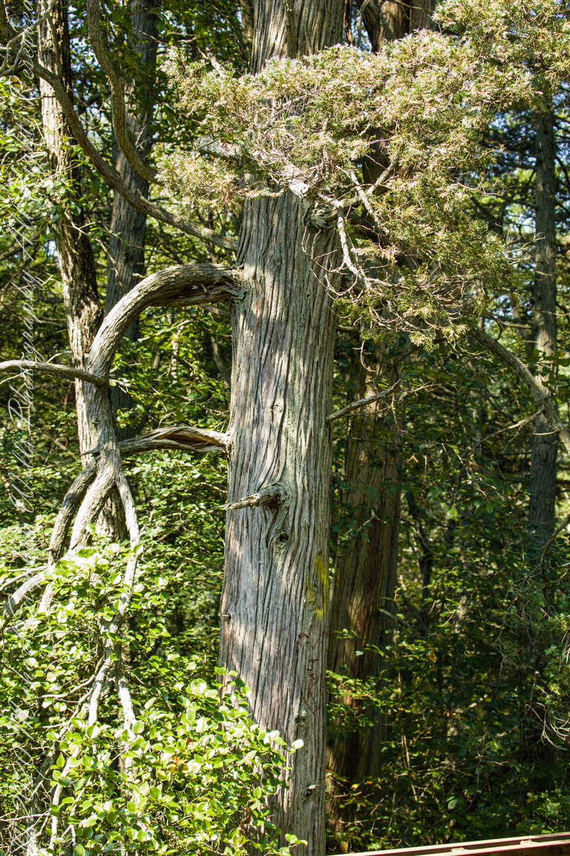
In my last Pinelands post, “cedar water” was featured. This post is a exploration of the “cedar” in “cedar water.”
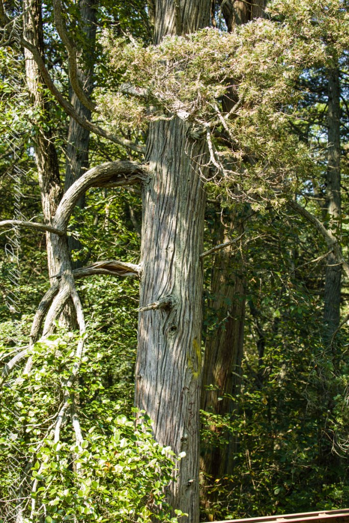
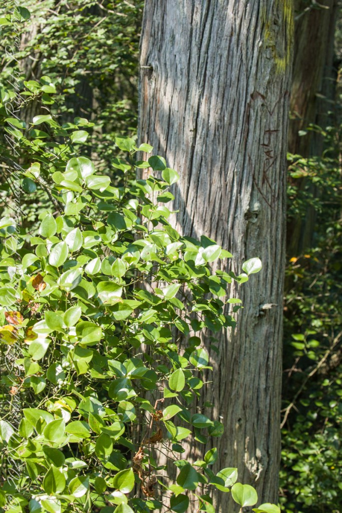
White Cedar, also known as Swamp Cedar, is a water loving tree seen here to the right of Quaker Brider, Wharton State Forest.
Click pic for larger view in a new browser tab. If you are in WordPress Reader, open the post to use this feature.
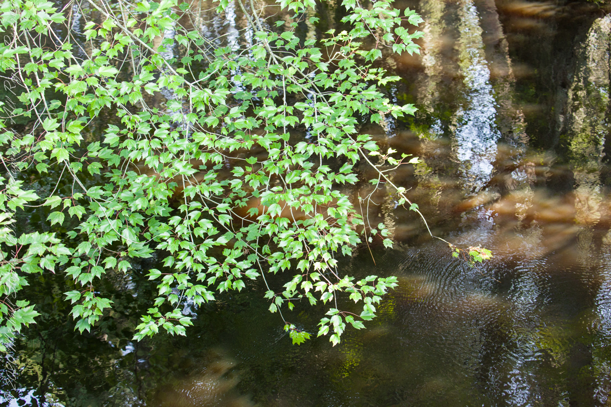
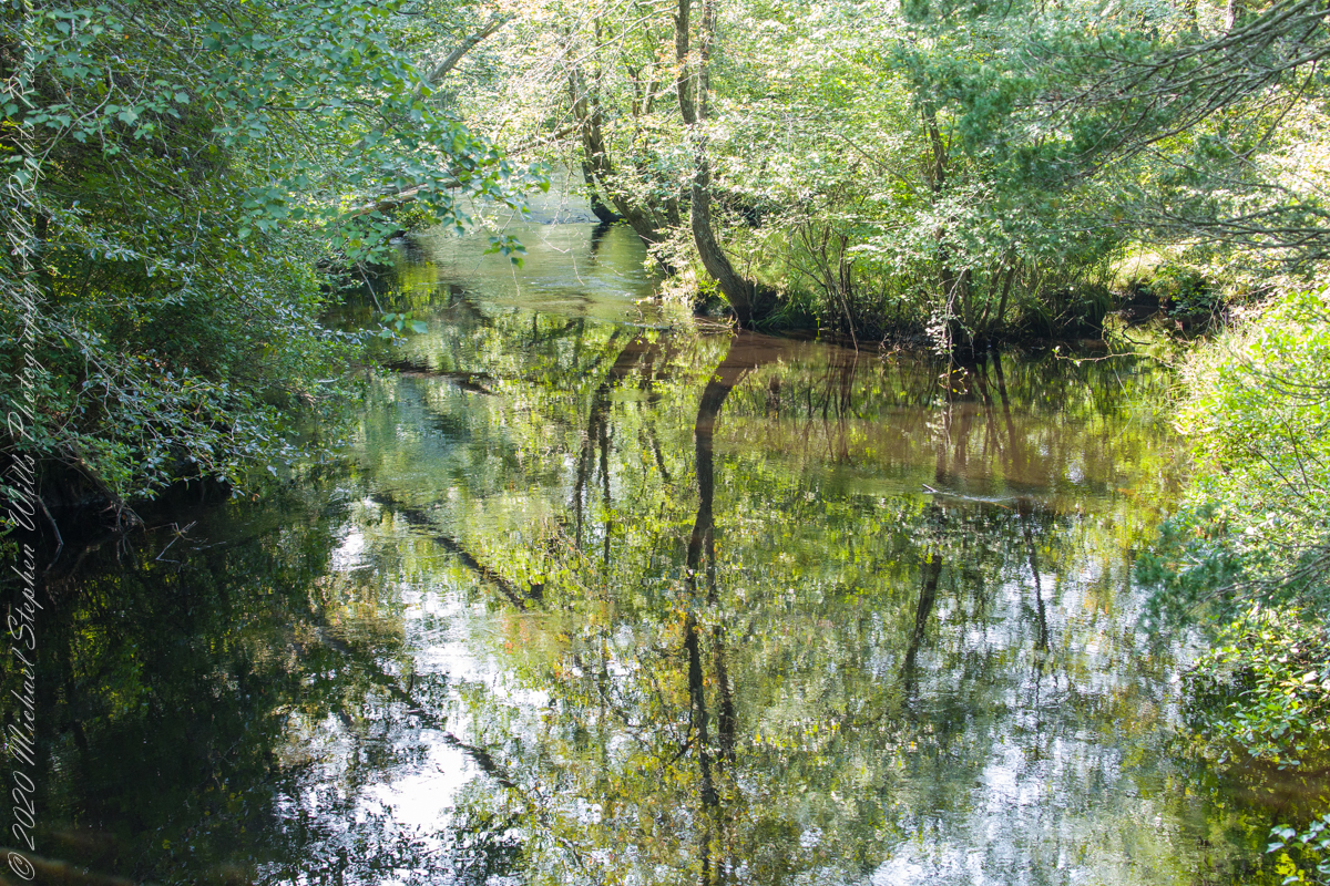
“Cedar water” is the dark, tea like, flow of Pinelands rivers colored by vegetable tannins.
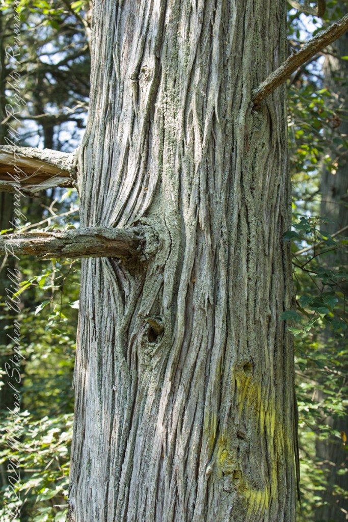
White Cedar thrives along Pinelands waterways, lending color to the “cedar water.” 18th Century sea captains favored cedar water for long voyages, famours for staying fresh far longer than other waters. Also known as arborvite, “tree of life”, for the medicinal properties of the bark, well known throughout Native America.
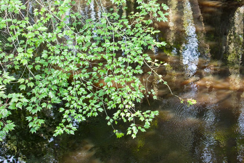
Known for flat sprays of scaley leaves
The Pinelands are under siege from attacks much worse than this defacement
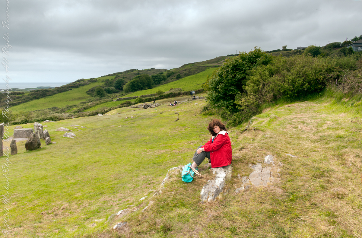
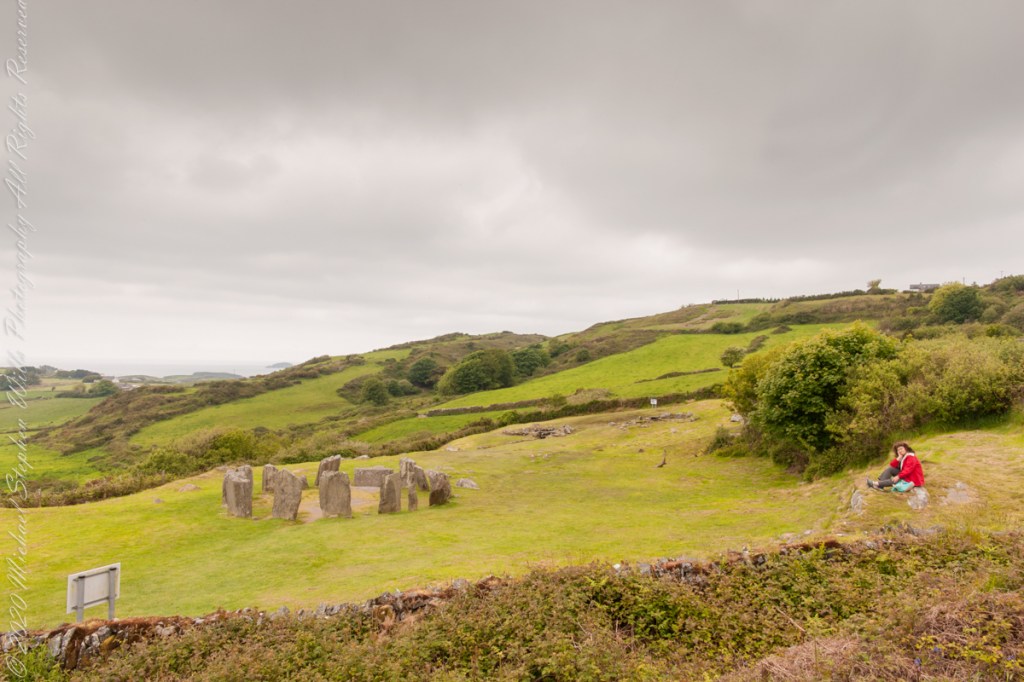
Pam posing with wind blown hair on the rock outcrop I used to achieve site overviews. In medium distance, other visitors gather around another site feature.
Click pic for a larger view, in a new tab. When using WordPress Reader, you need to open the post first.
These photographs were taken the last days of August 2021, the 26th and 27th, while exploring Burlington County, New Jersey, with my sister. I will be writing about our Thursday and Friday for awhile, starting with today’s installment.
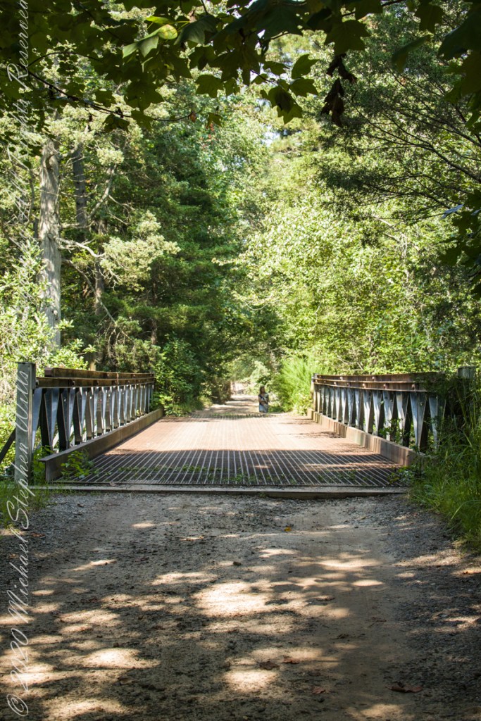
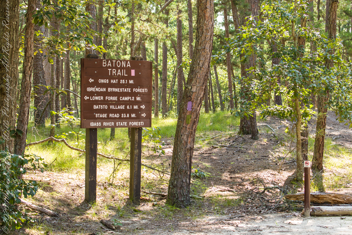
Quaker Bridge Road traverses the wilderness of Wharton State Forest with a beginning off Route 206, Atsion Mansion. Our planning included Jeep Wrangler rental, only high-clearance 4-wheel vehicles are appropriate, the road surface is humpy sand, water filled holes abound. Still, sitting there at the start, with Atsion Mansion house in view, I waited awhile until a high clearance tour bus packed with adventurers, kayaks passed into the pines and out of sight. We proceeded an uneventful ~4 miles to Quaker Bridge at a stately 5 miles per hour, invoking four-wheel drive low gear a mile or so in.
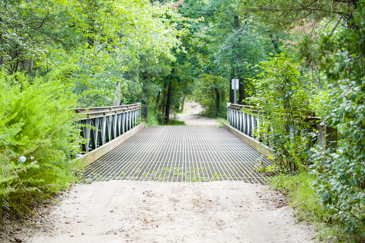
Here is Quaker Bridge over Mullica River today, facing East.
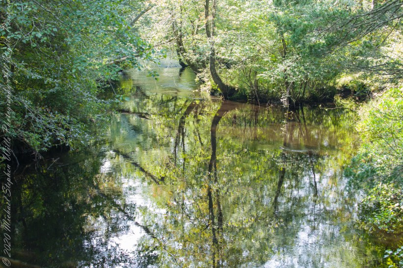
Mullica River from Quaker Bridge facing downstream
Quaker Bridge road was a well traveled main route through the Pines for almost a hundred years with an inconvenient crossing of The Mullica at this point. During the year 1774, some sa 1772, West Jersey Quakers travelling to the Little Egg Harbor Yearly Meeting, started “a day early”, built a bridge. From a c.1940 photograph it is clear in that “day” they felled large trees for pilings, smaller trees, pines and cedars, for the other bridge elements. Since then, the crossing has been called “Quaker Bridge.”
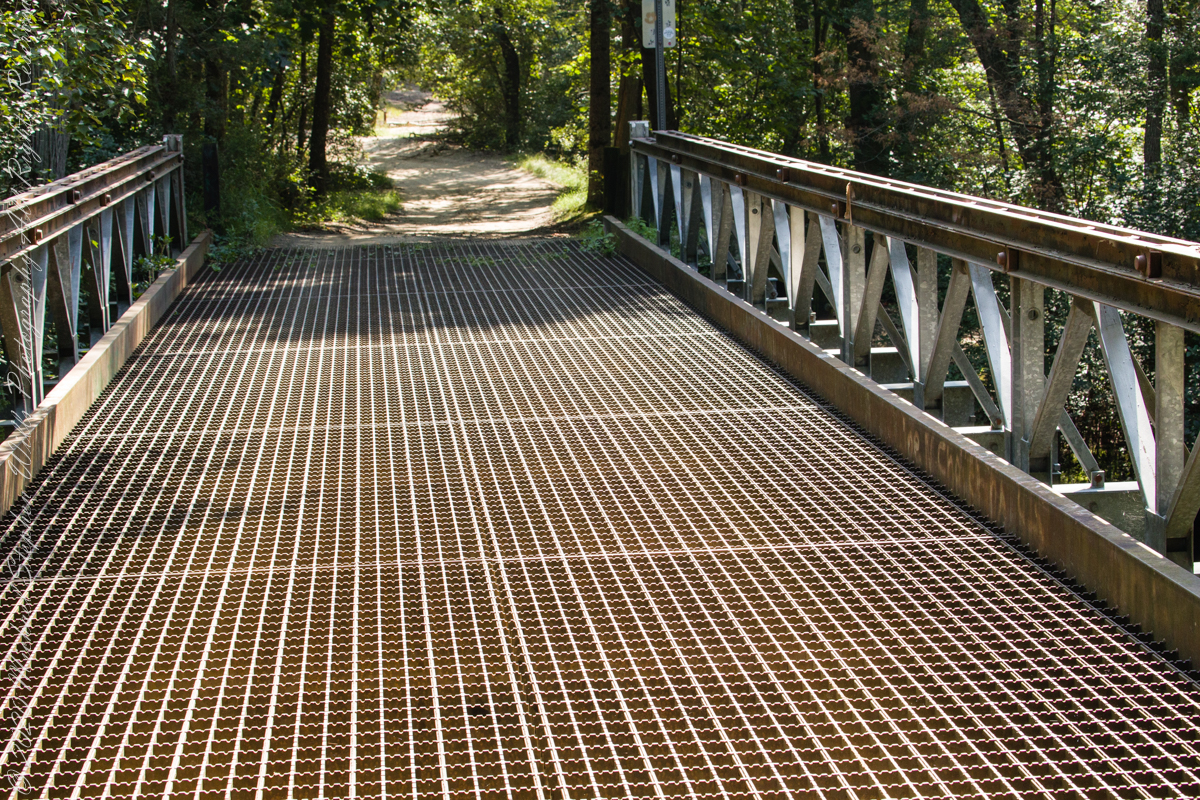
Over time, the east side became a resting place, with at least one Inn/Tavern. Here is the east side today.
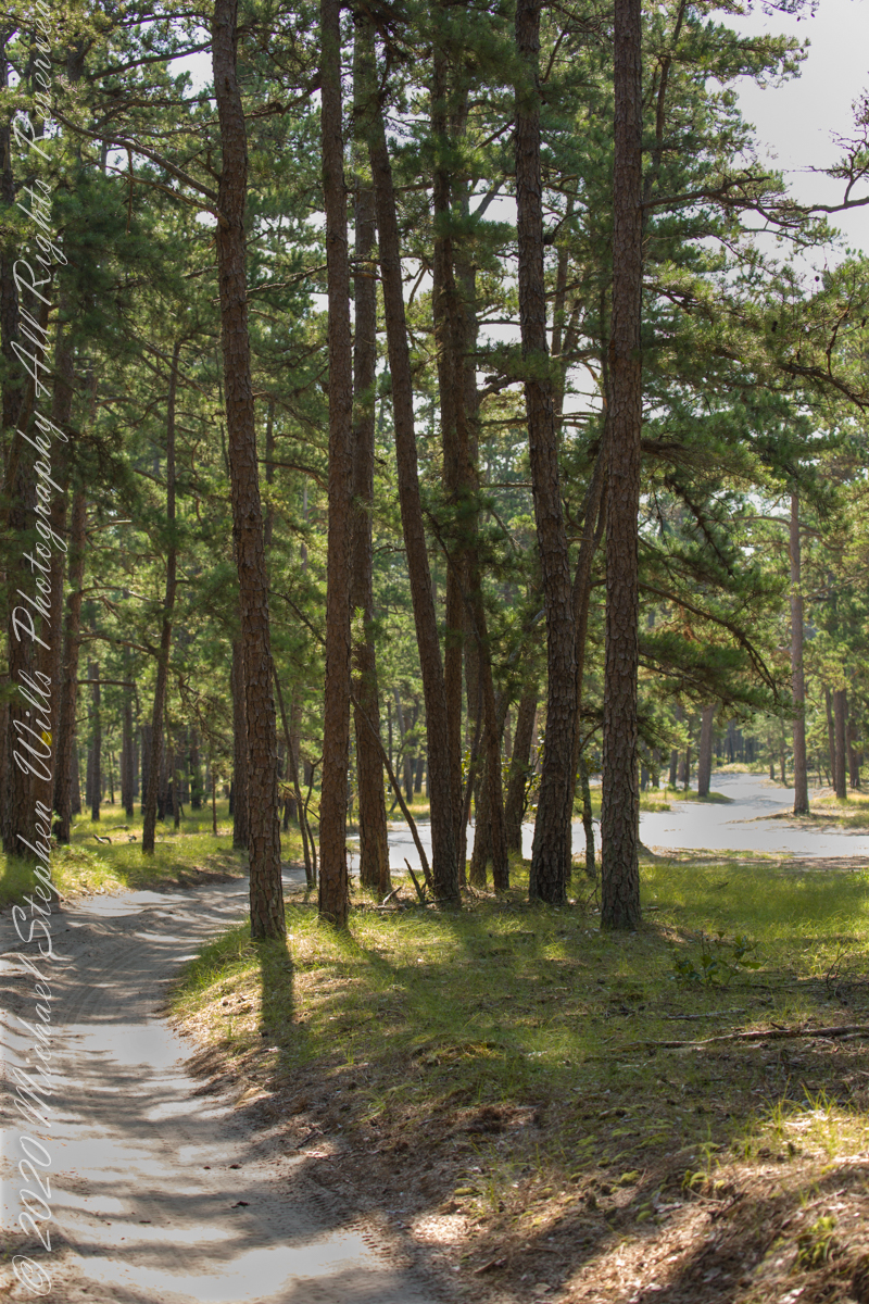
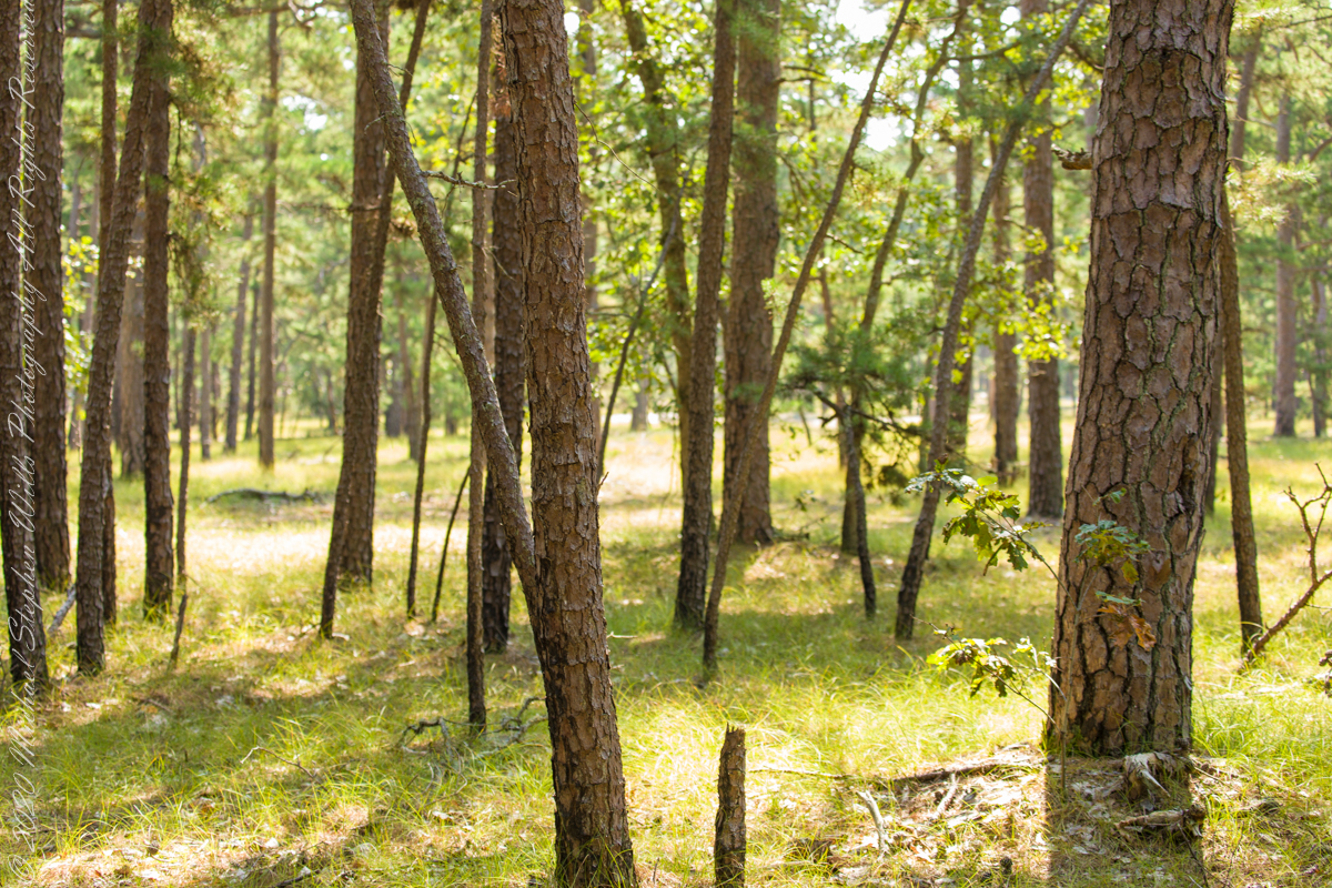
Even without hospitality and bustling humanity, after 4 miles of dreary road from Atsion this spot carries a sense of lightness, the well spaced straight pines over several acres conveying peace and rest. Over 35 miles from the ocean, the white sand presents as beach. There is a reason for this feeling, a 15 million year reason.
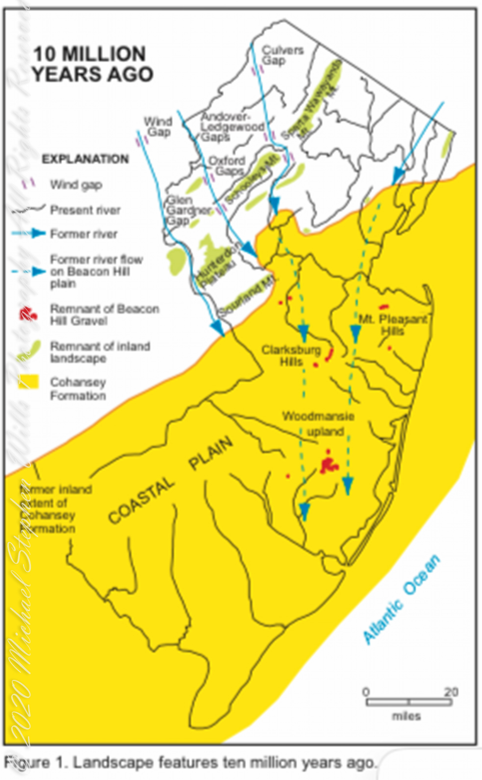
Visual presentation of Pinelands geologic origins, from New Jersey Geologic Survey, Scott Stanford author, 2005.
Between 15 and 10 million years ago the earth climate turned colder, so much water evaporated from the oceans to fall as snow and ice in the polar regions ocean levels fell 150 to 250 feet. As the ocean fell away, over eaons, mountains to the west were ground down, pulverized by the elements to flow, gather on the exposed plain. The white “beach” sand we see today, at Quaker Bridge and other Pinelands places, are surfaces of this “Cohansey” sands and clay ranging in thickness from 25 feet in the west to more than 300 feet at the Atlantic Ocean.
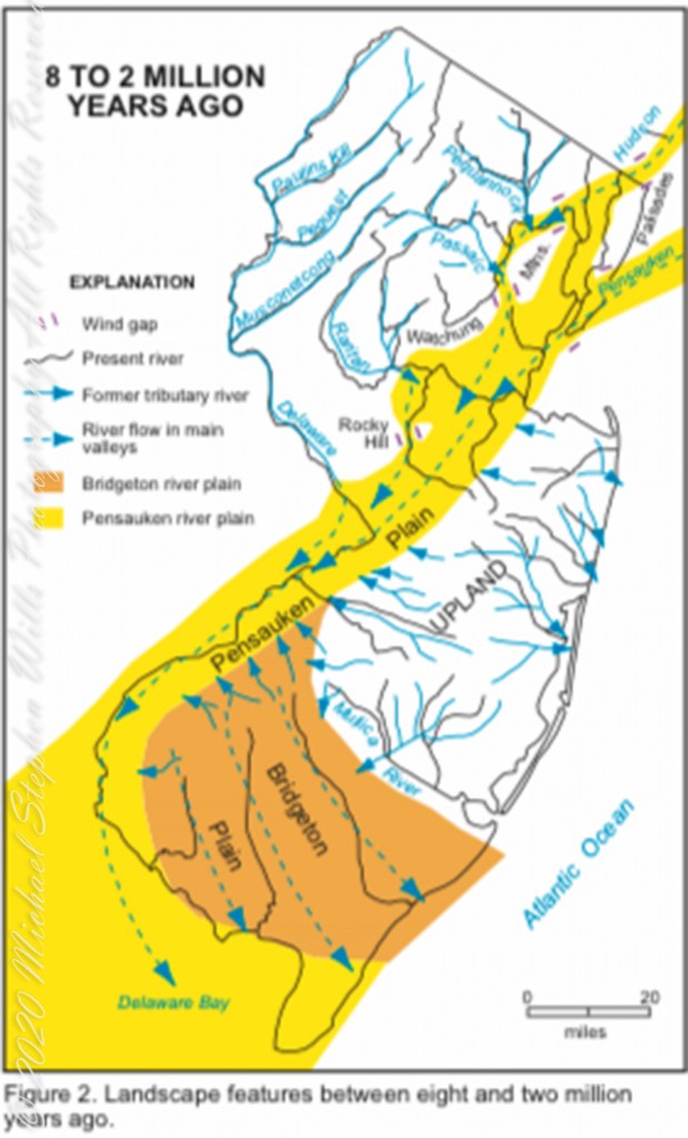
Over millions of years the land raised to become the drainage patterns we see today. The renewable resources of “bog iron” and water spring from this history.
Visual presentation of Pinelands geologic origins, from New Jersey Geologic Survey, Scott Stanford author, 2005.
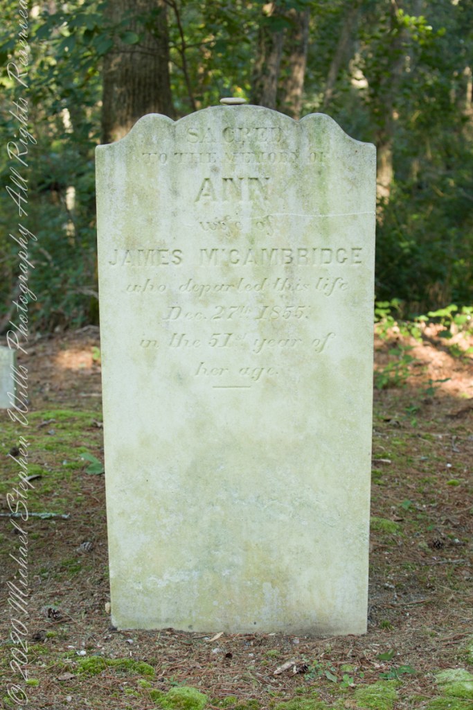
Standing there I imagined Great Great Grandmother Ann (Milley) McCambridge resting on the journey from the McCambridge home near Speedwell. I placed the pebble, collected from Long Island Sound, on Grandmother Ann’s headstone the evening of August 26th. Click this link for more about Ann McCambridge.
Sacred to the Memory of ANN wife of James McCambridge who departed this life December 27th 1855 in the 51st year of her age.
Reference
I found Quaker Bridge background in “Heart of the Pines, ghostly voices of the Pine Barrens” by John E. Pearce, pp 748 – 750, Batsto Citizens Committee, 4110 Nesco Road, Hammonton, N.J. 08037-3814.
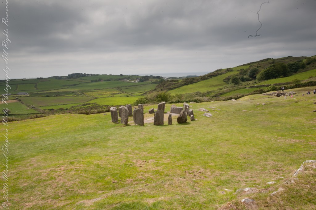
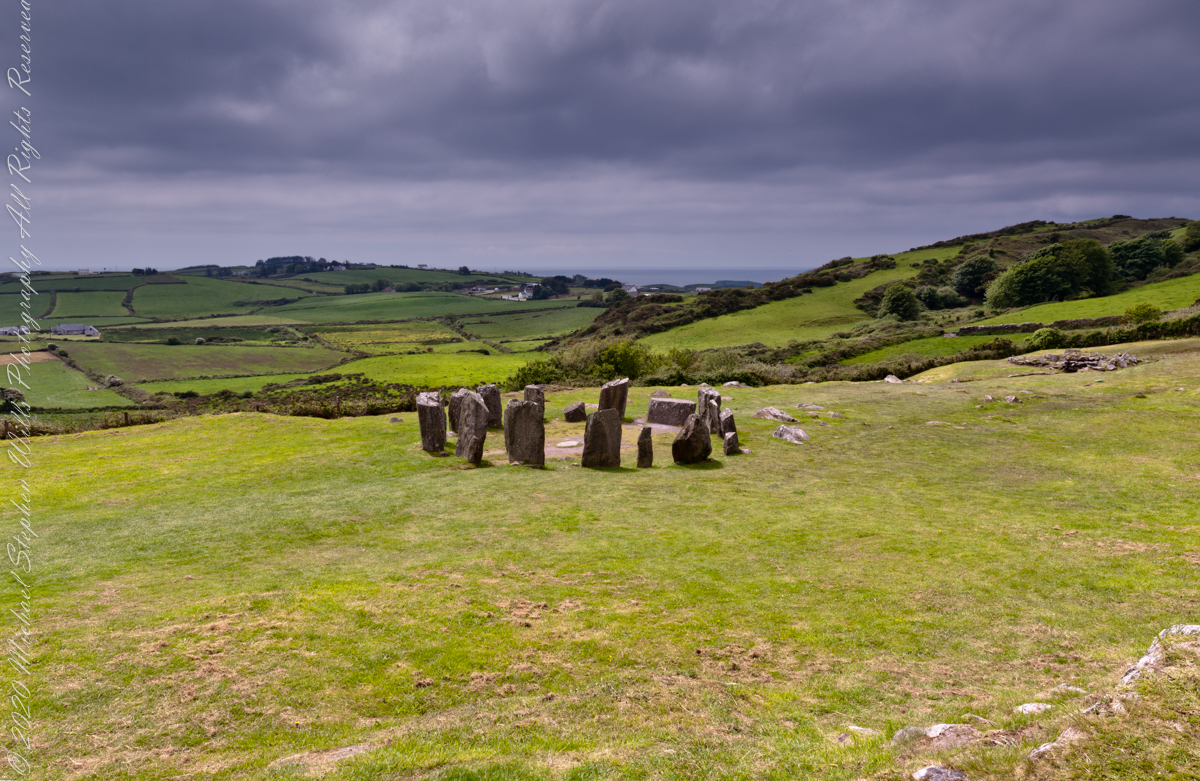
The photograph shared the last Drombeg posting needed hours of reworking before it was ready for submission to Stock Photography services. Ireland photography is my “money maker”, so the effort is work this.
Today, I share the image as it existed in camera, to the final product. The most detailed work was removing the human figures in the upper right corner. The camera sensor was problematic, with an light accumulation of dust. Below are the two images, each alone and as slideshow for flipping back and forth.
What differences can you observe? (comments, please)
Click any pic for a larger view, in a new tab, or a slide show. When using WordPress Reader, you need to open the post first.
Here is one of my finest photographs from that morning. The ocean view is a reason Drombeg is one of the most popular neolithic sites.
The Celtic Sea is close to this site, unoccupied since 800 BC, may be as old as 1100 BC according to radiocarbon dating from 1957 excavations. Thirteen of the original seventeen stones form a circle 31 feet across. Two portal stones face a recumbent stone, together forming a axis pointing to the sun position at sunrise on the winter solstice. One of the most visited Neolithic sites in Ireland, it required some patience to achieve an image without human figures.
Click any pic for a larger view, in a new tab, or a slide show. When using WordPress Reader, you need to open the post first.
The camera is set on a tripod positioned in front of the recumbent.
The Celtic Sea is close to this site, unoccupied since 800 BC, may be as old as 1100 BC according to radiocarbon dating from 1957 excavations.
Click any pic for a larger view, in a new tab, or a slide show. When using WordPress Reader, you need to open the post first.
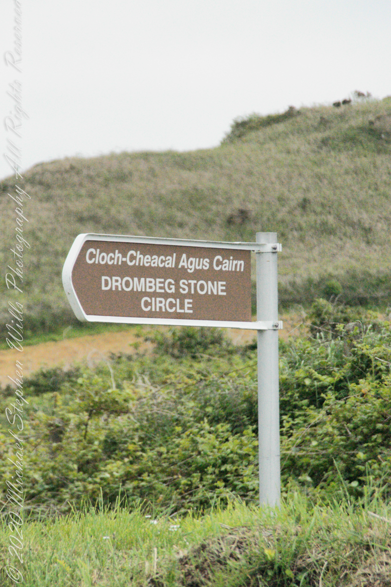
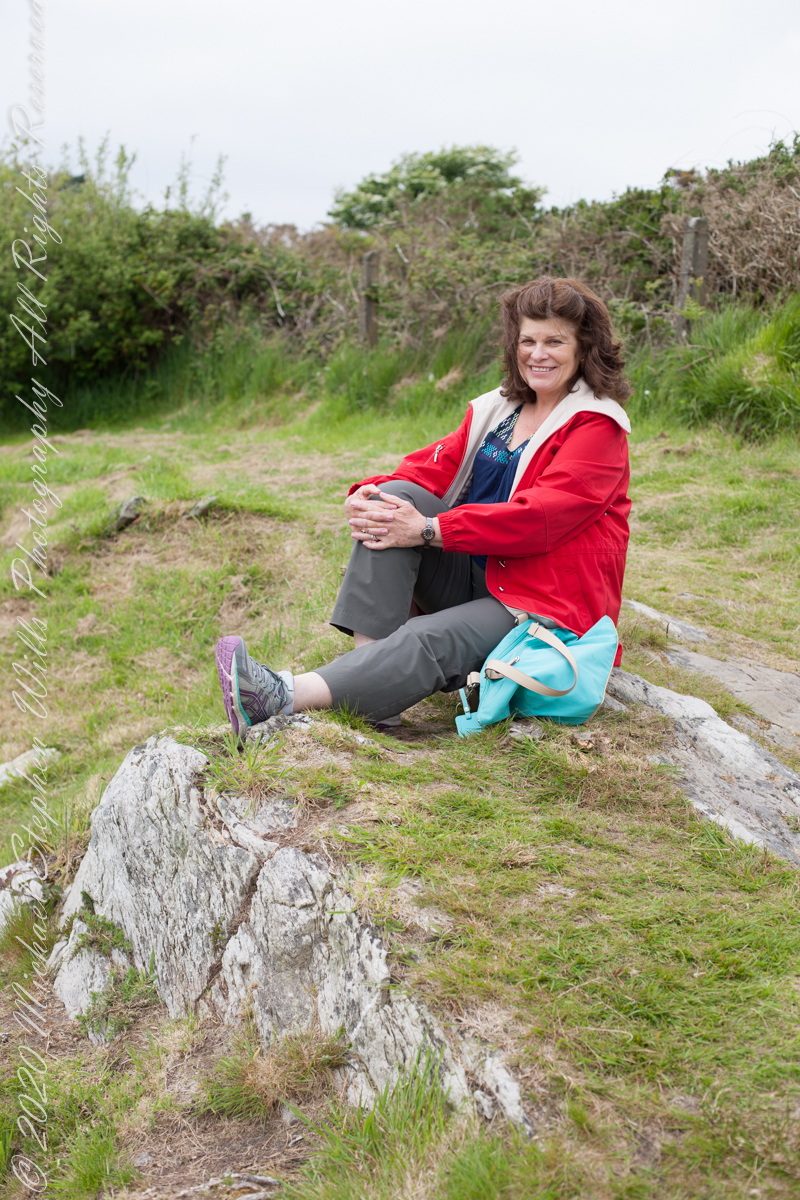
Road sign ourside the Drombeg Circle site, County Cork, Republic of IrelandPortrait of Pam during our 2014 visit to the Drombeg Stone Circle of County Cork, Republic of Ireland
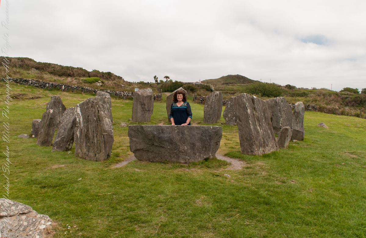
The Celtic Sea is close to this site, unoccupied since 800 BC, may be as old as 1100 BC according to radiocarbon dating from 1957 excavations. Thirteen of the original seventeen stones form a circle 31 feet across. Two portal stones face a recumbent stone, together forming a axis pointing to the sun position at sunrise on the winter solstice. One of the most visited Neolithic sites in Ireland, it required some patience to achieve an image without human figures.
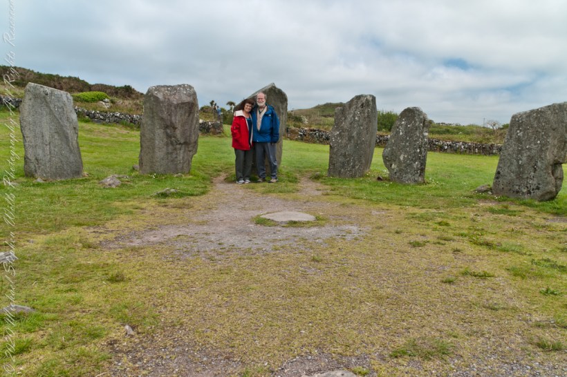
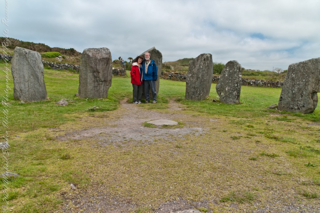
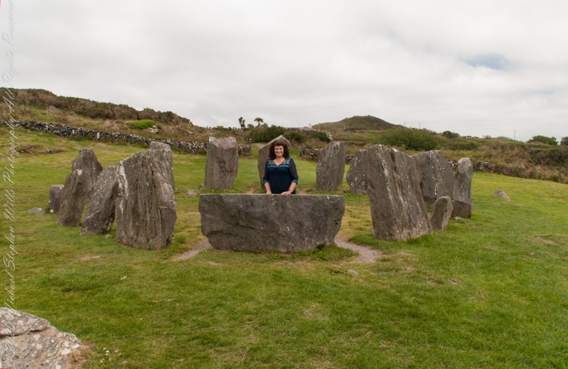
Seventeen closely placed stones with an axis pointing south-southwest toward the setting sun, formed by two “entrance” stones, one directly behind Pam, the second to the left. The recumbent in front of her forms the third axis element.
The path features in the past three posts is behind the entrance stones.
Click any pic for a larger view, in a new tab, or a slide show. When using WordPress Reader, you need to open the post first.
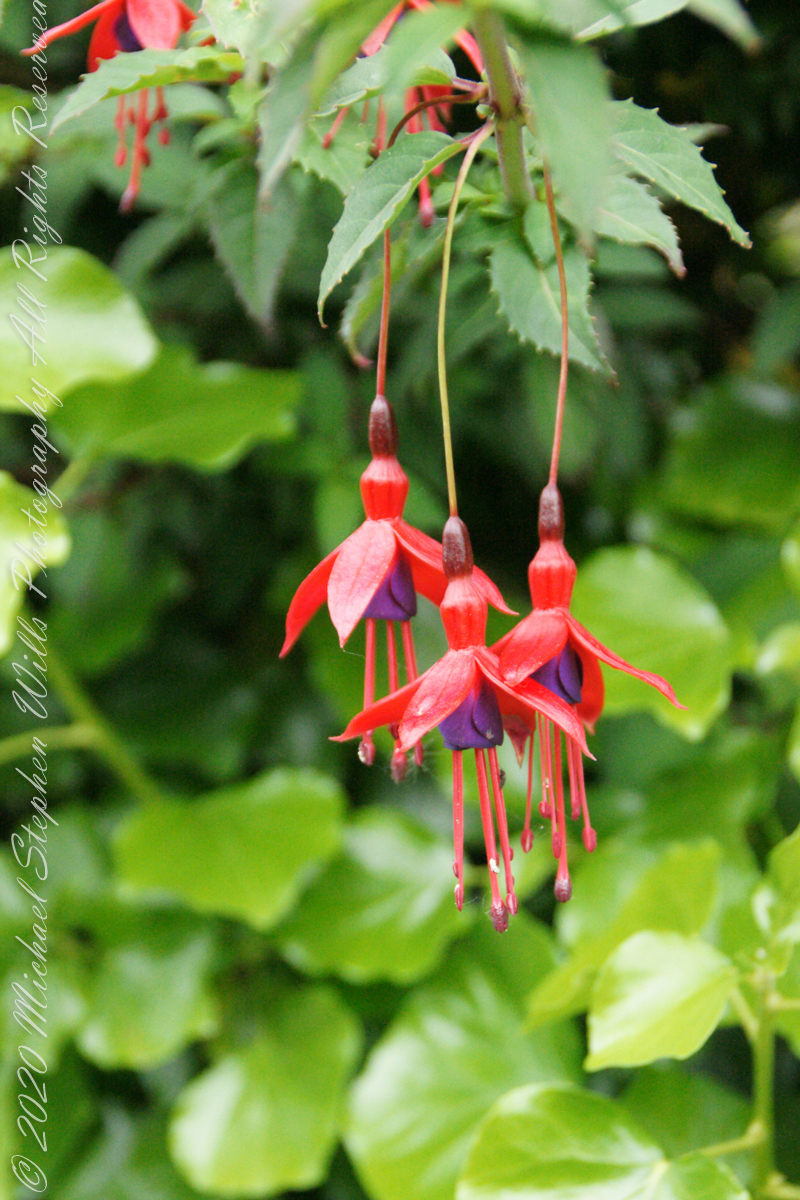
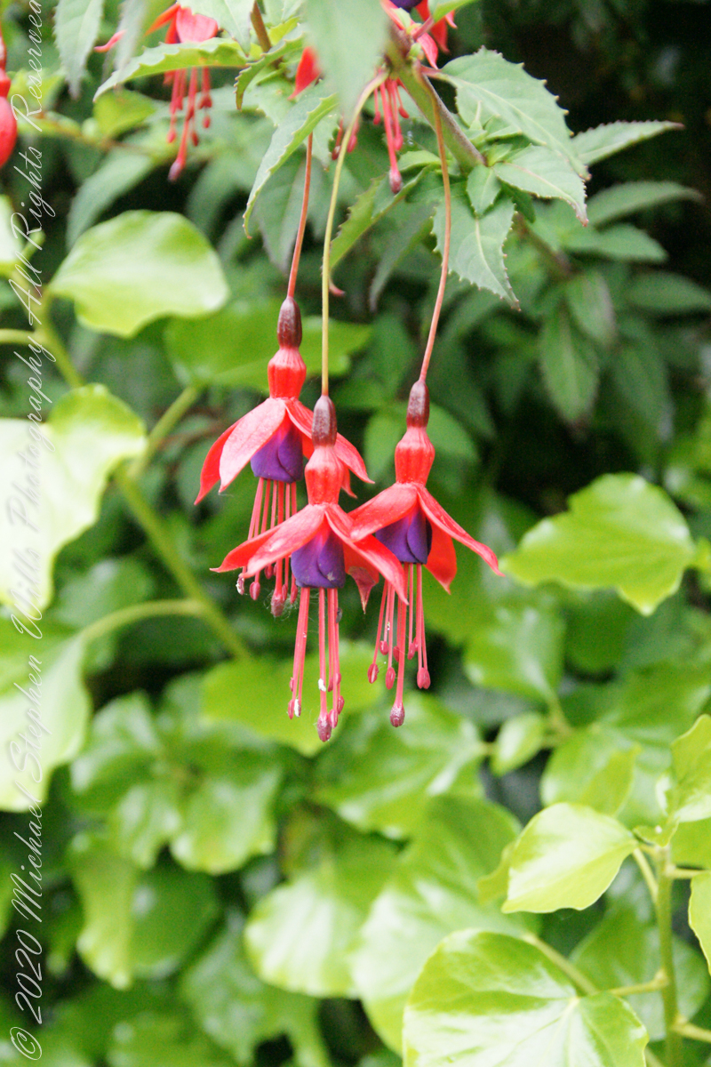
It is not surprising to find this non-native shrub growing along the path to Drombeg Stone Circle. English gardens featured fuchsia since the late 18th century. The ocean view is part of the charm of this place, the resulting milder climate suits the flourishing of exotic species of plants native to South America, the Caribbean and New Zealand.
Click any pic for a larger view, in a new tab, or a slide show. When using WordPress Reader, you need to open the post first.