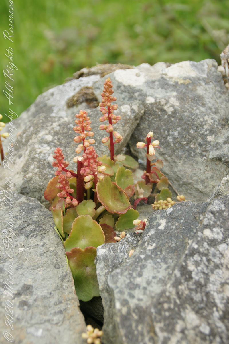
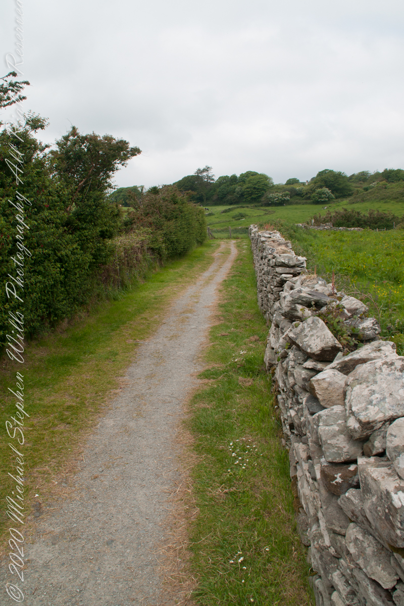
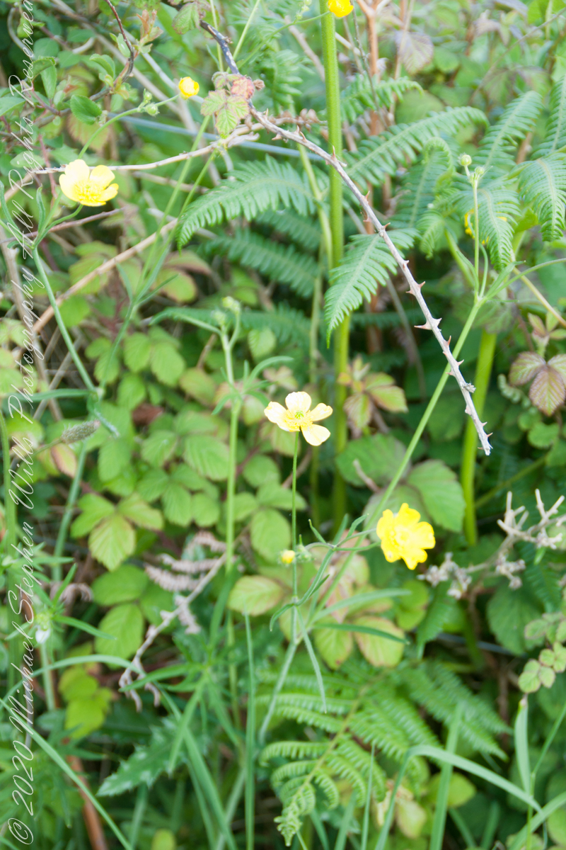
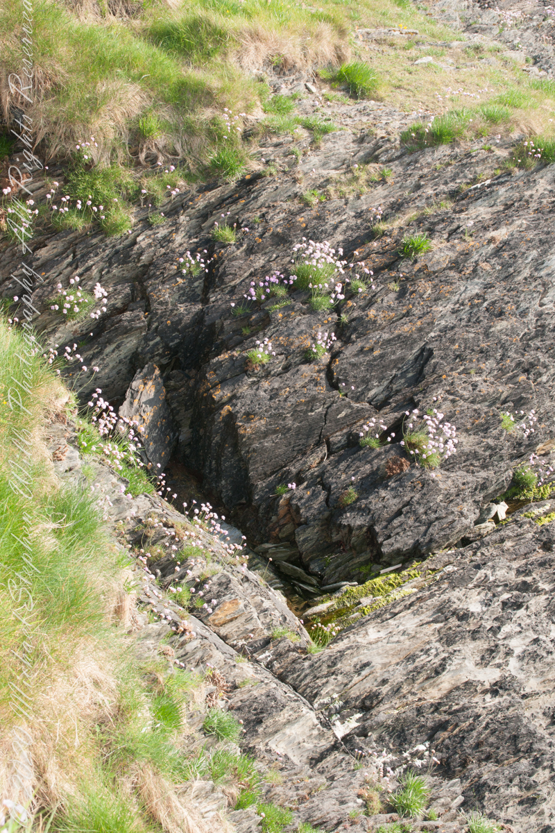
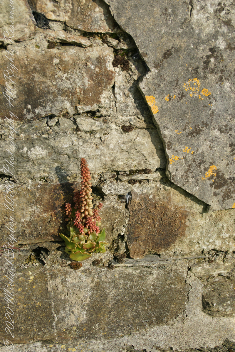
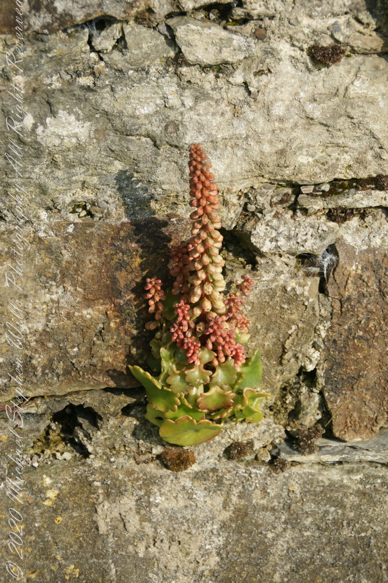
This unidentified spring of racemes, fleshy leaves and stalks, grew from the rock wall of the entry path to Drombeg Stone Circle. Here the climate is strongly influenced by the Celtic Sea, milder winters allow exotic plants to flourish.
My appraisal is this is in the Crassulaceae family, possibly the genus Kalanchoe or, more probably Umbilicus, from the fleshy, round, succulent leaves and form of the flowers. Species of Umbilicus are native to Western Europe and known to favor rock walls.
Click any pic for a larger view, in a new tab, or a slide show. When using WordPress Reader, you need to open the post first.
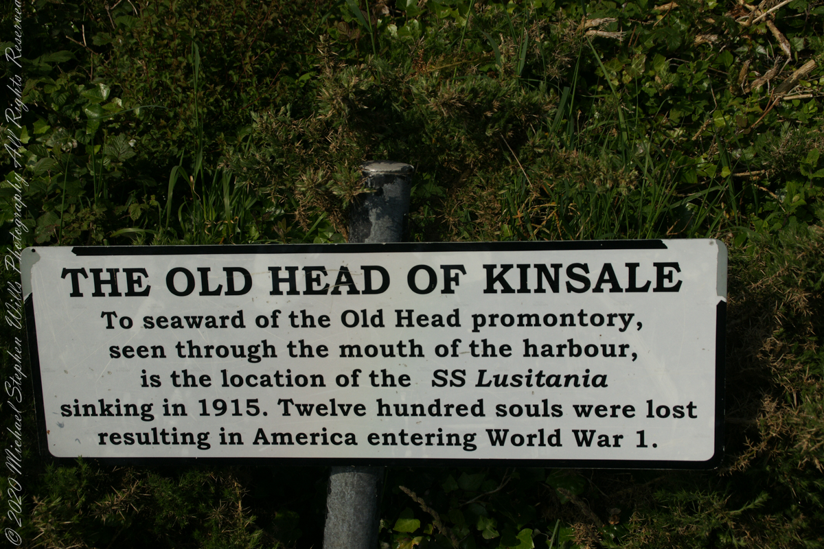
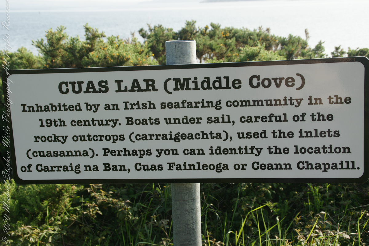
The view referred to by placard is to the right. The Old Head of Kinsale is the distant landform, looking right to left, is the portion that drops off to the ocean.
Click any pic for a larger view, in a new tab, or a slide show. When using WordPress Reader, you need to open the post first.
Here is a Google Maps screen capture showing the relationship of our position (the unnamed red drop-pin) on the right, and the Old Head of Kinsale landform, seen below the lable “Ballylane.”
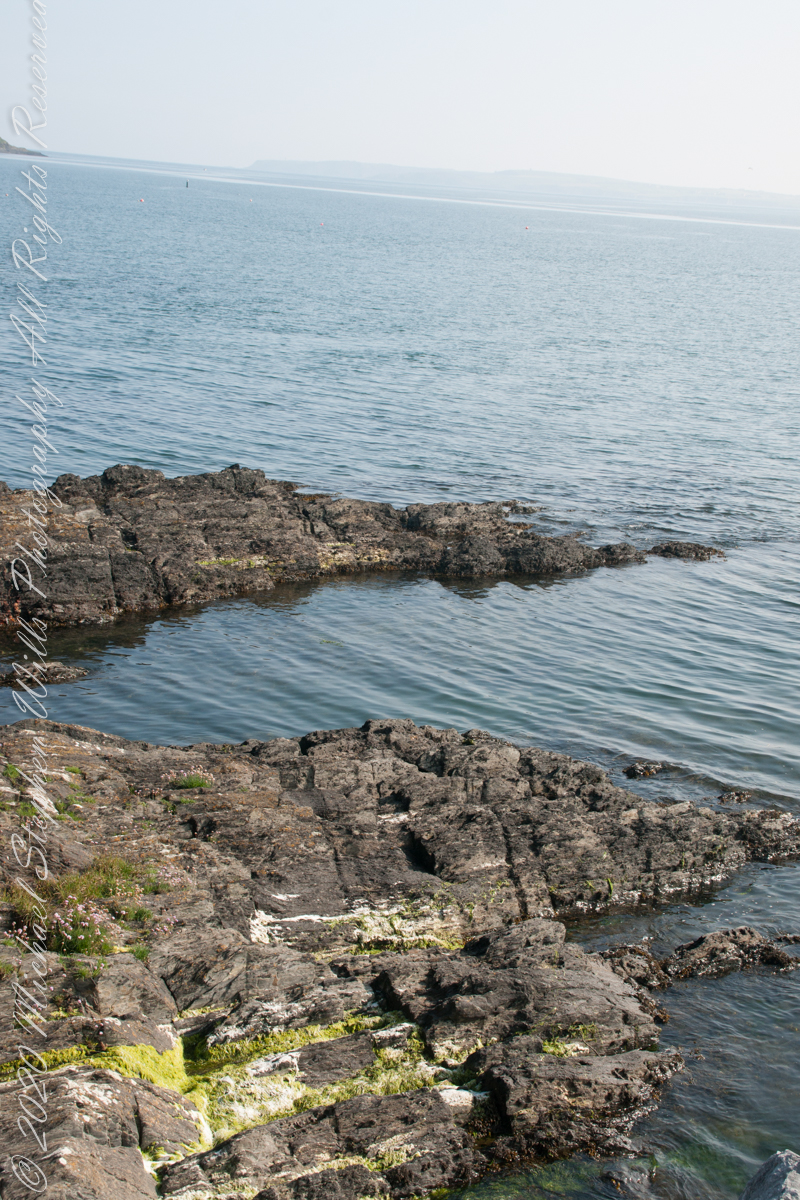
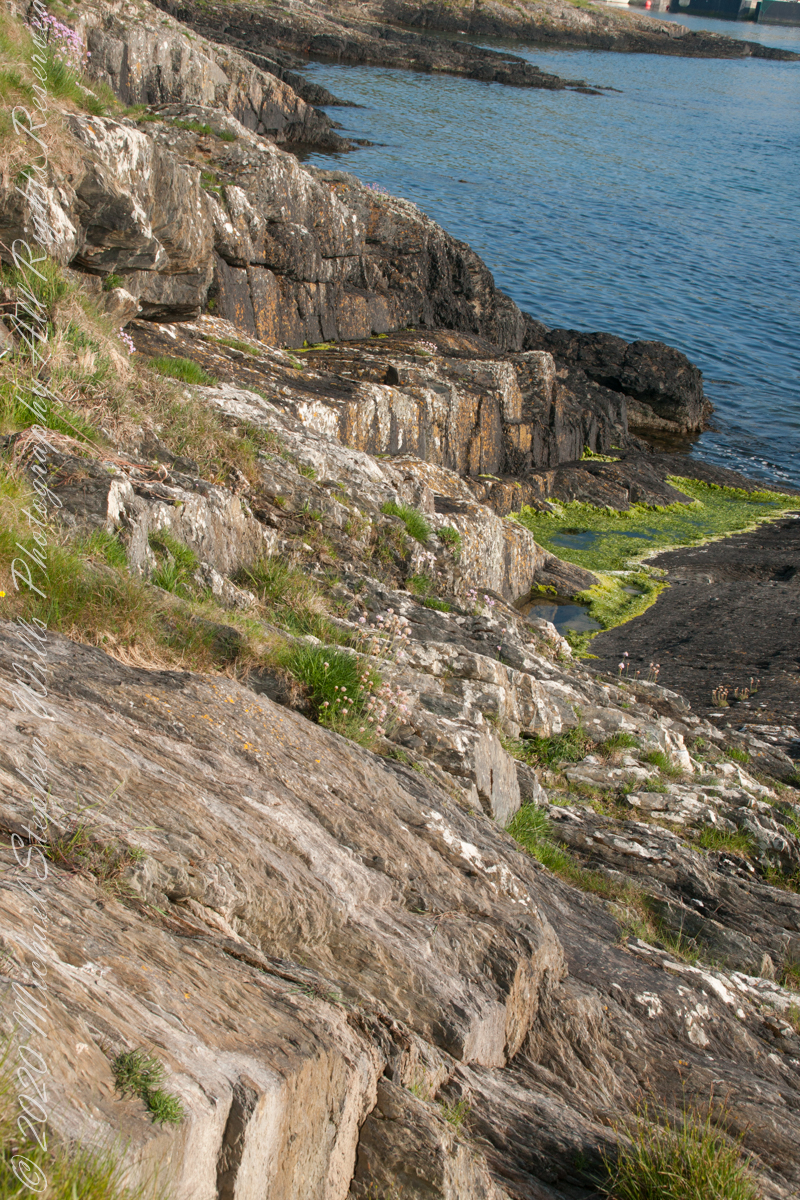
Here are the views looking toward the Celtic Sea, the Old Head of Kinsale and the cliffs at our feet.
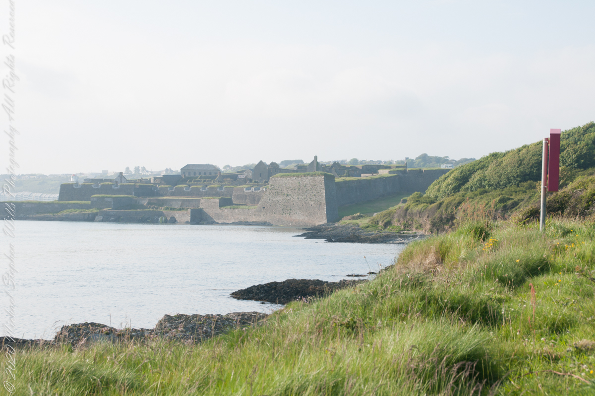
Looking back toward Charles Fort
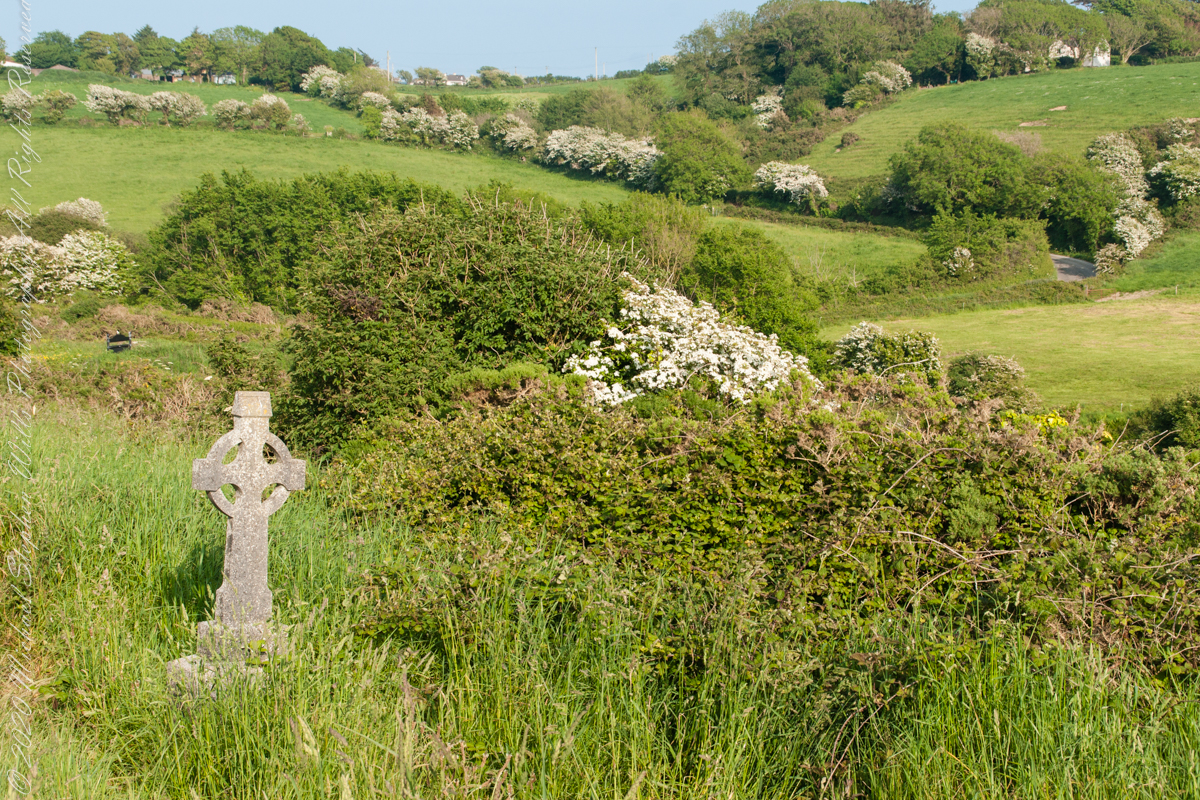
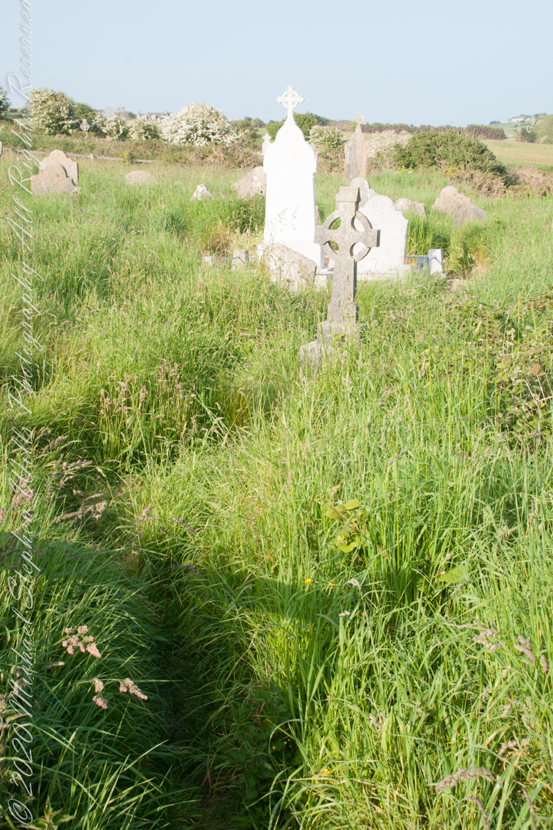
This cemetery is unmarked on the maps I use.
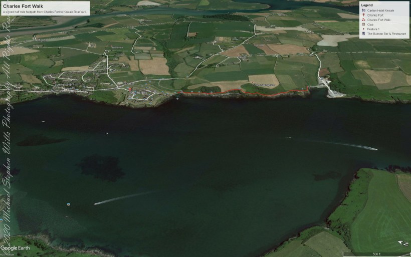
Here is a Google Earth view of our walk, the red line. The view is looking east from above the former “de Courcy family parkland.”
A half mile footpath, marked in red, leads from Charles fort along the shoreline cliffs, surmounted by working farmland.
Copyright 2021 Michael Stephen Wills All Rights Reserved
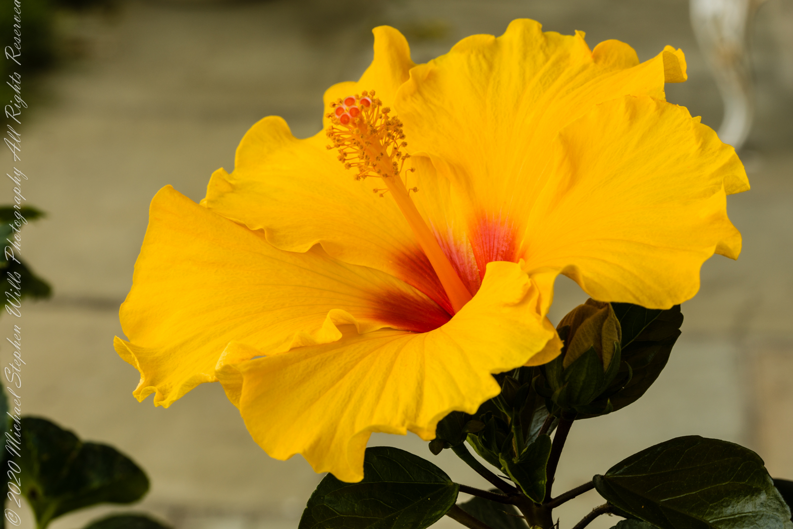
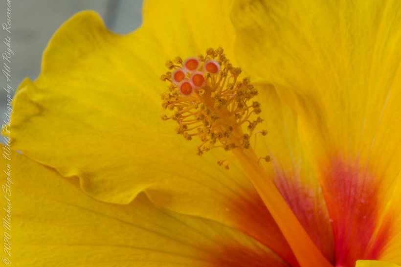
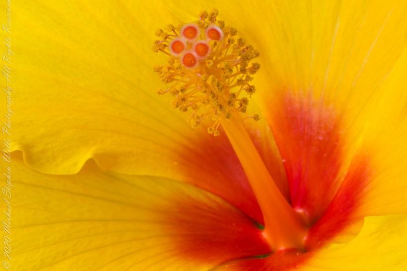
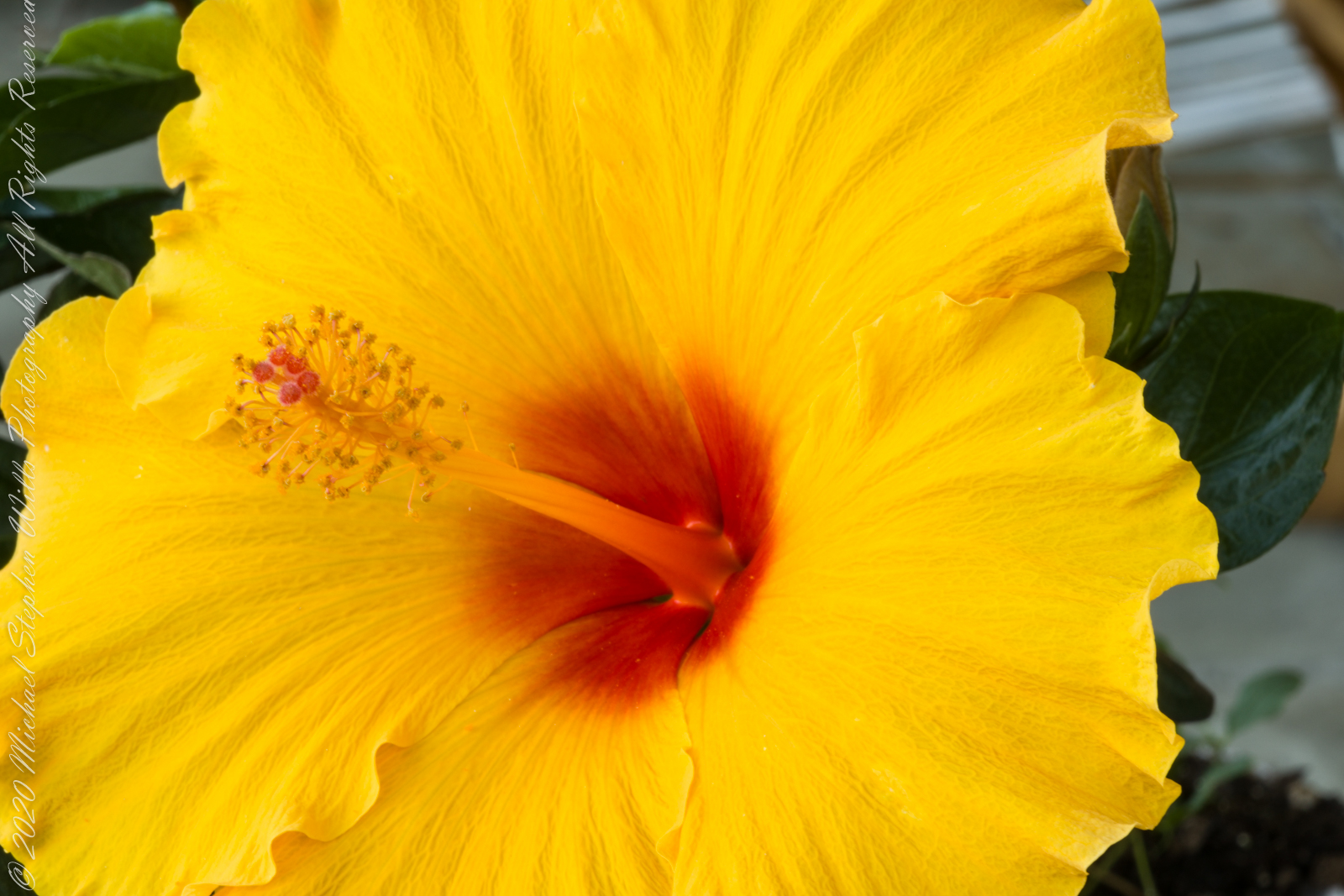
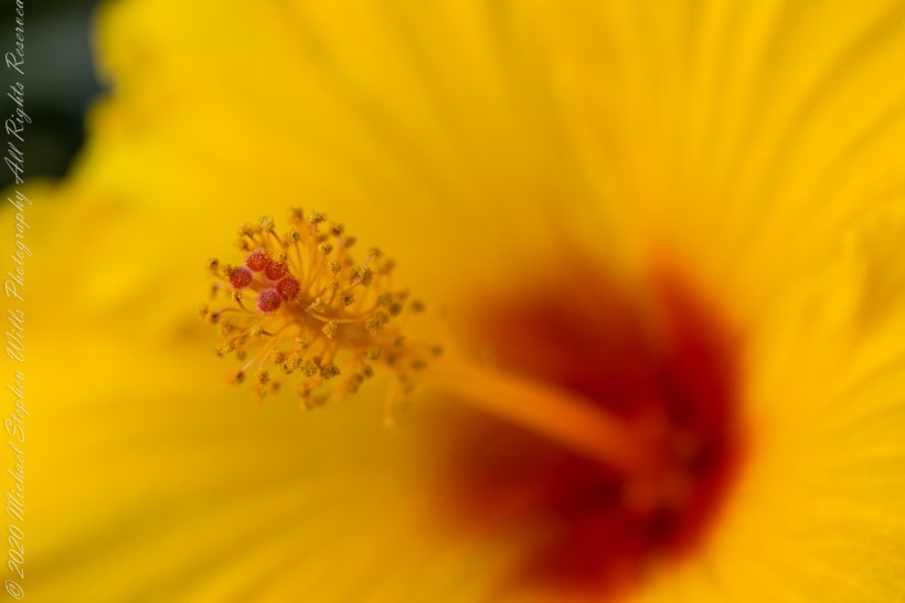
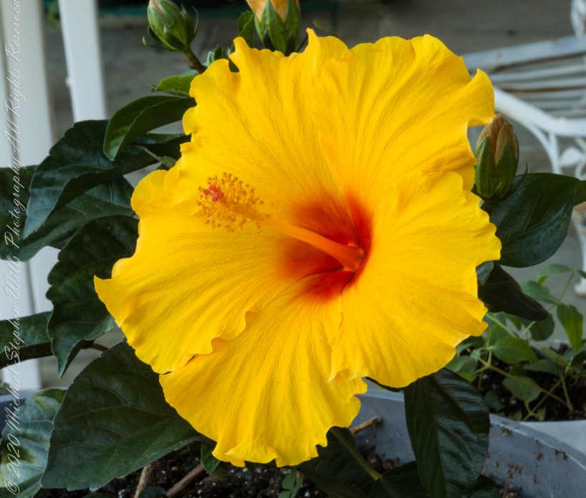
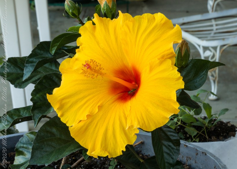
Evening breezes brought to a halt my series of hibiscus bloom photographs, that bloom faded and shriveled, to be replaced by another. I captured the images of this post on a very quiet summer evening. This bloom was facing up closer to vertical that the previous.
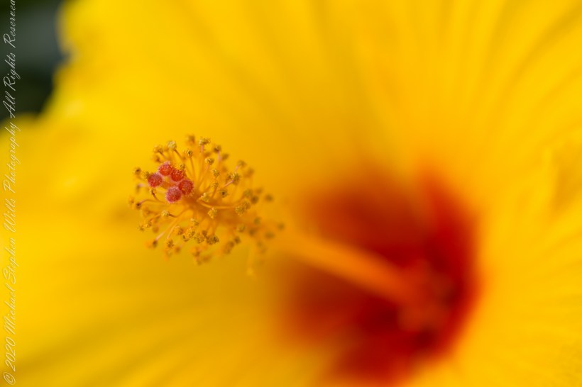
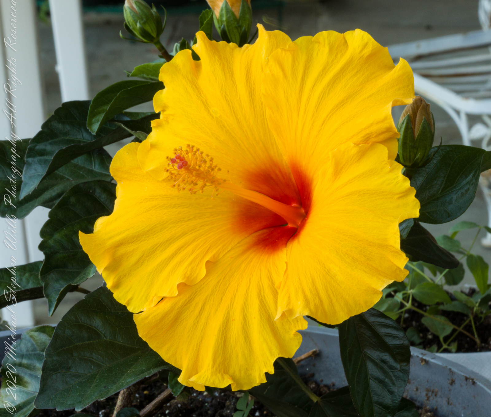
A key identification for all 300 species of hibiscus is the long stamen tube. I have yet to see a local insect interacting with the stamen, always they are in the flower throat. In the tropics, pollination is thought to proceed from large butterflies and birds.
Click photograph for larger view in new tab. From WordPress Reader you need to open the post to use this feature.
ISO 100, 1/10 sec at f / 14
ISO 100, 1/6 sec at f / 14
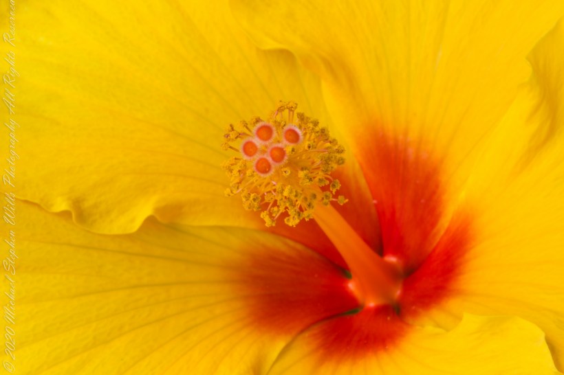
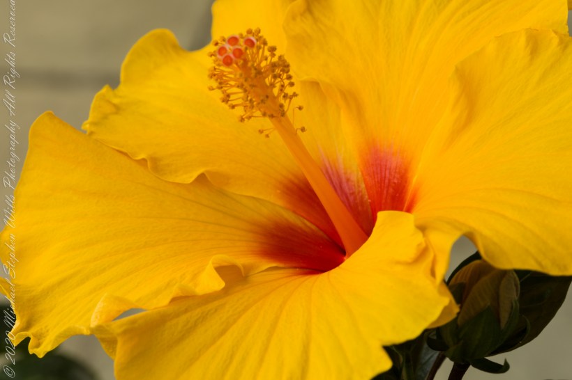
Here are three macro photographs of this bloom, all from the Canon 100 “macro” lens. I learned by experience to tamp down the diaphragm to the smallest setting, f / 32 for this lens. The different aspects were achieved by moving the lens objective closer to the bloom. This is a “fixed” lens, it has one focal length.
ISO 100, 1.0 sec at f / 32
ISO 100, 1.3 sec at f / 32
ISO 100, 1.3 sec at f / 32
References
Wikipedia – “hibiscus.”
Copyright 2021 Michael Stephen Wills All Rights Reserved
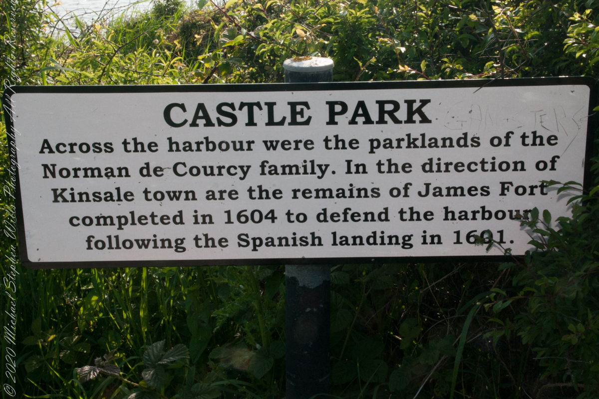
As Pam and I past the scenes of bucolic reverie this sign drew us back to the past. The reference to de Courcy is as a family of invading Normans. John de Courcy, without the King’s permission, launched an 1176 AD invasion of northeastern Ireland, what is now County Down, as an ultimately failed land grab. The history is murky, though apparently John de Courcy’s son Miles acquired the land referred to in the placard through the English King Henry II, awarded to Miles’ thieving, murderous Norman father-in-law Milo de Cogan in the 13th Century. Much later, the old (James) and new (Charles) Forts were constructed to defend Kinsale harbor.
Click any pic for a larger view, in a new tab, or a slide show. When using WordPress Reader, you need to open the post first.
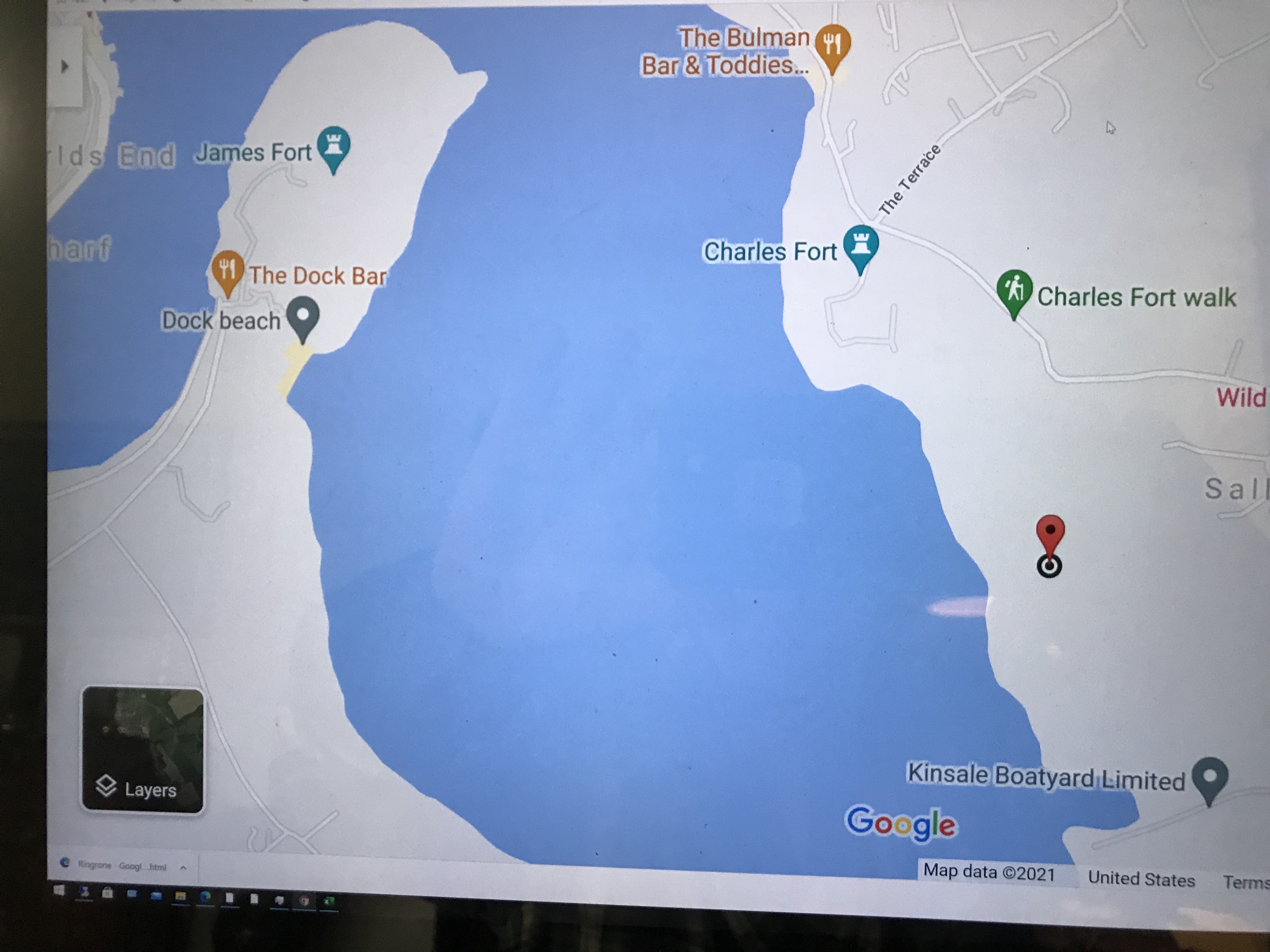
Here is a Google Maps screen capture showing the relationship of our position (the unnamed red drop-pin) on the right, Charles and James Forts and the de Courcy family parklands, the large blank area below the pin named “Dock beach.”
Here are the views looking toward the Celtic Sea, the Old Head of Kinsale and the cliffs at our feet.
Looking toward the Old Head of Kinsale in the far distance
Rocky Cliffs at our feet
Cliff and Sea Pink
More Sea Pink decorating the rocks.
Here is a Google Earth view of our walk, the red line. The view is looking east from above the former “de Courcy family parkland.”
A half mile footpath, marked in red, leads from Charles fort along the shoreline cliffs, surmounted by working farmland.
Copyright 2021 Michael Stephen Wills All Rights Reserved
Nyctinasty (flower response to light: opening with or closing without light) in hibiscus plants is a mechanism to protect against adverse conditions such as cool temperatures that can be damaging. Through a lack of light stimulus and circadian rhythms the plant is able to trigger the molecular movement of ions to allow for the closing of the flower.
Click photograph for larger view in new tab. From WordPress Reader you need to open the post to use this feature.
ISO 100, 1.3 sec at f / 29
Here are three macro photographs of this bloom, all from the Canon 100 “macro” lens. I start with the shutter diaphragm open at 4.0 (“F-stop”), a little narrower at 4.5 and a bit more at 9.0. For this lens the maximum opening is at 2.8, the narrowest is 32. As the opening narrows (F-stop increases) the exposure time needed to capture enough light lengthens and the range of the image in focus increases.
ISO 100, 1/30 sec at f / 4.0
ISO 100, 1/25 sec at f / 4.5
ISO 100, 1/6 sec at f / 9.0
References
Wikipedia – “hibiscus.”
Copyright 2021 Michael Stephen Wills All Rights Reserved
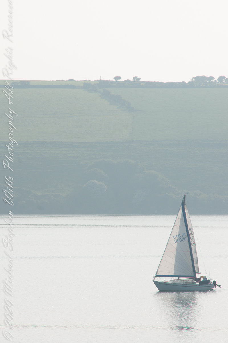
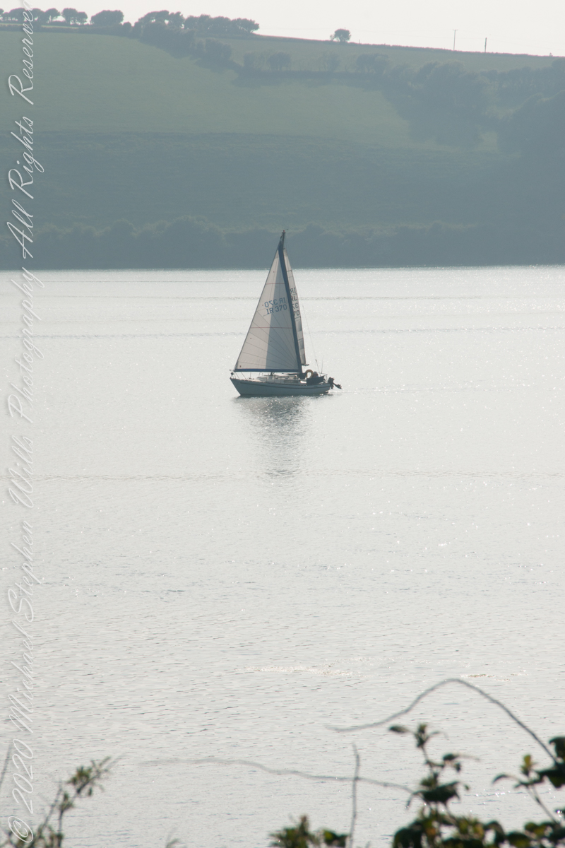
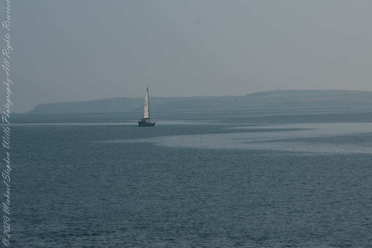
As Pam and I continued down the half mile “Sallyport” footpath, marked in red on the Google Earth view provided at the end of this post, we enjoyed the view across the Celtic Sea toward the distant Old Head of Kinsale and this sailboat headed to port.
Click any pic for a larger view, in a new tab, or a slide show. When using WordPress Reader, you need to open the post first.
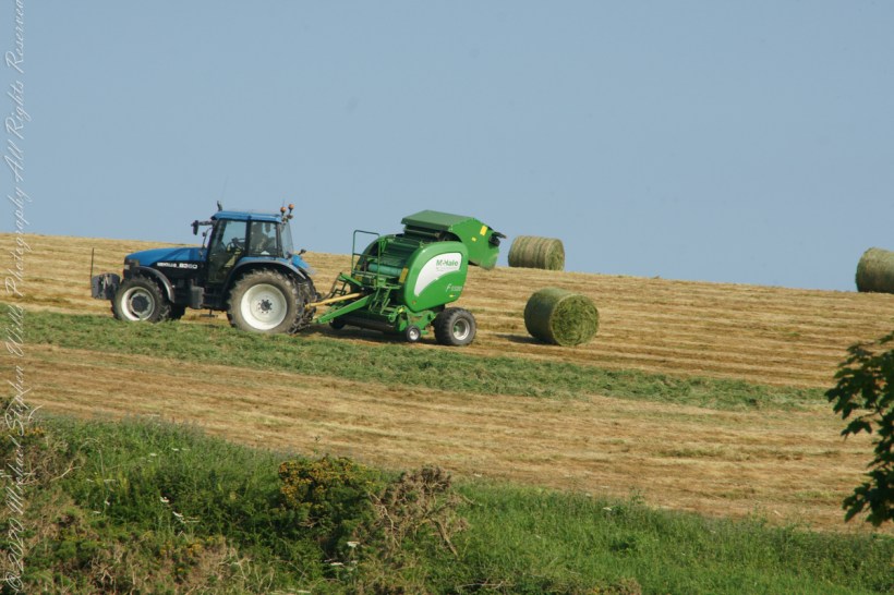
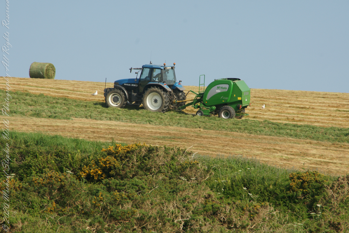
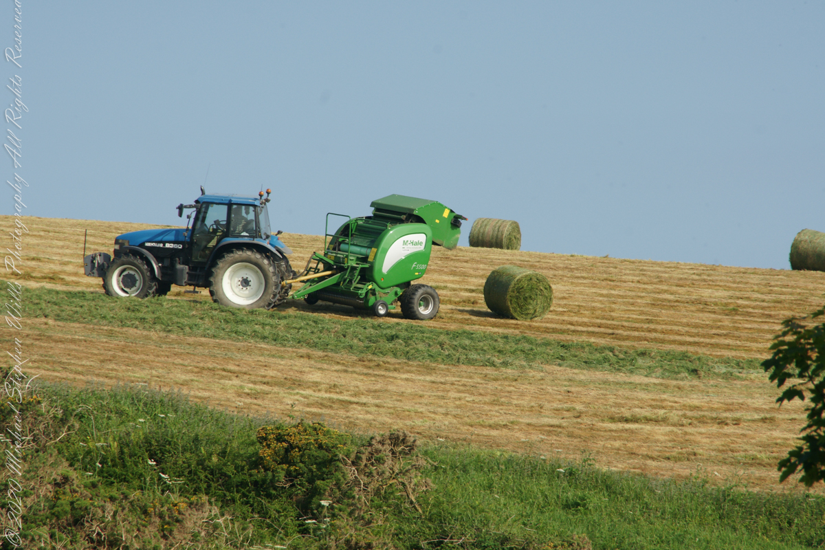
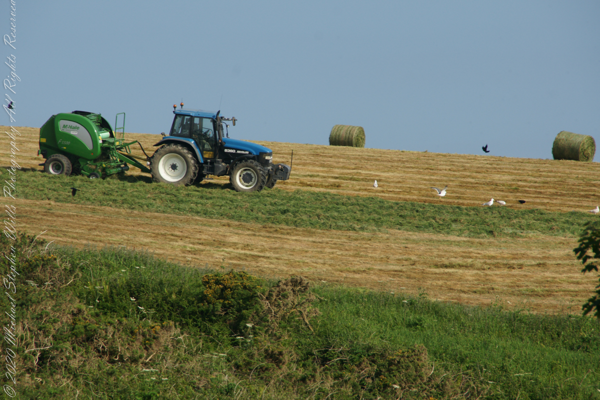
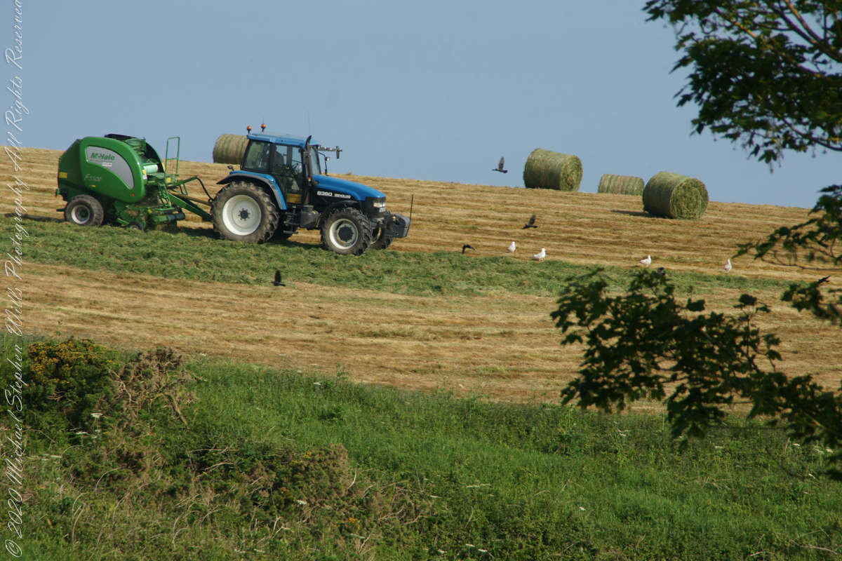
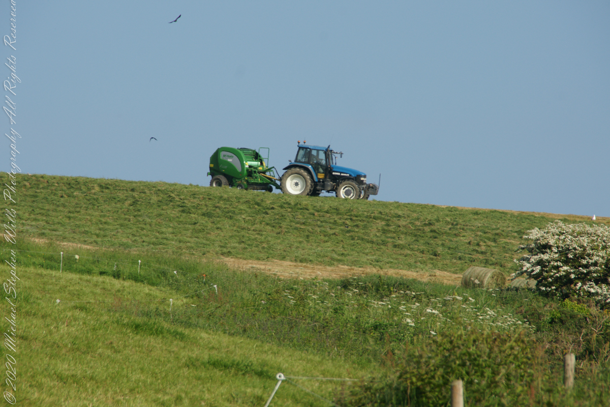
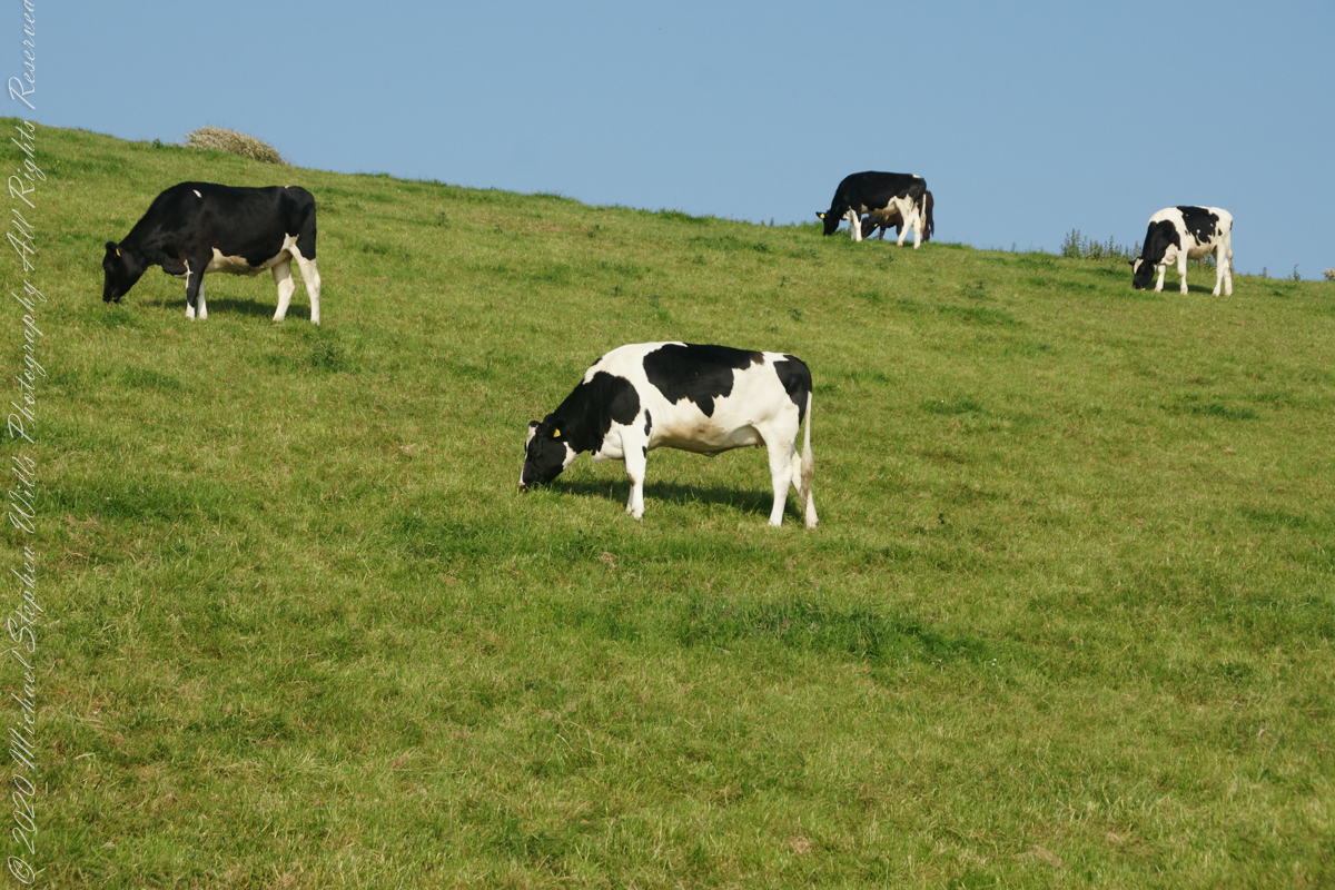
Landward, we enjoyed watching the progress of a farmer rolling hay bales while cows munched fresh green grass.
A half mile footpath, marked in red, leads from Charles fort along the shoreline cliffs, surmounted by working farmland.
Copyright 2021 Michael Stephen Wills All Rights Reserved
This is a perennial, commonly known simply as “hibiscus”, or less widely known as rose mallow. Other names include hardy hibiscus, rose of sharon, and tropical hibiscus.
The hibiscus flower is traditionally worn by Tahitian and Hawaiian girls. If the flower is worn behind the left ear, the woman is married or has a boyfriend. If the flower is worn on the right, she is single or openly available for a relationship.
Click photograph for larger view in new tab. From WordPress Reader you need to open the post to use this feature.
ISO 800, 1//8 sec at f / 32
Here are the three photographs of this bloom, all from the Canon 100 “macro” lens. Two with “sweat bees” and one without.
ISO 800, 1//8 sec at f / 32
ISO 800, 1//8 sec at f / 32
ISO 800, 1//8 sec at f / 32
References
Wikipedia – “hibiscus.”
Copyright 2021 Michael Stephen Wills All Rights Reserved
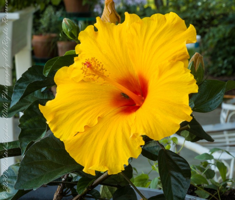
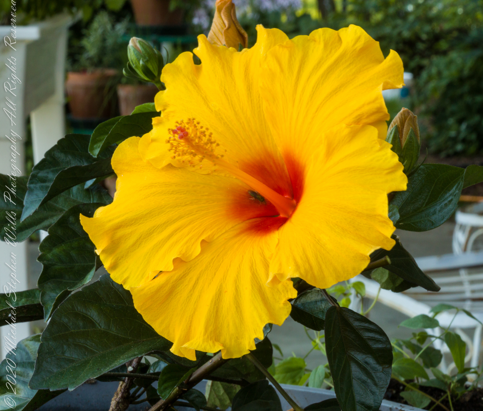
Yellow hibiscus, the state flower of Hawaii was recorded in ancient Greece. In the photograph is captured several unopened buds, behind the flower, and a bee in the flower throat, attracted by nectar there. It is a small bee, of the Halictidae family, that lives alone in a ground nest and also called a “sweat bee,” from being attracted to perspiration.
Click photograph for larger view in new tab. From WordPress Reader you need to open the post to use this feature.
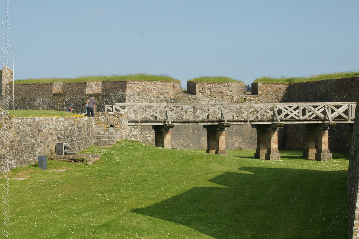
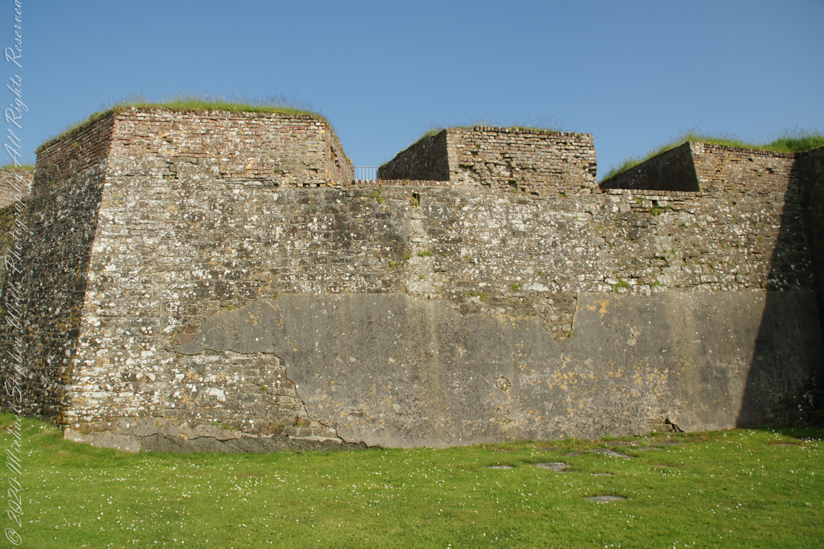
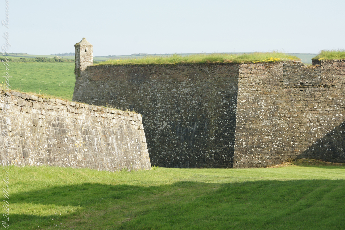
A “dun” is a larger fortification, few and far between on the island of Ireland. We saw one on the Arran Islands, from the Iron Age, Dun Angus, Charles Fort, or Dún Chathail in Irish, is from historical ages.
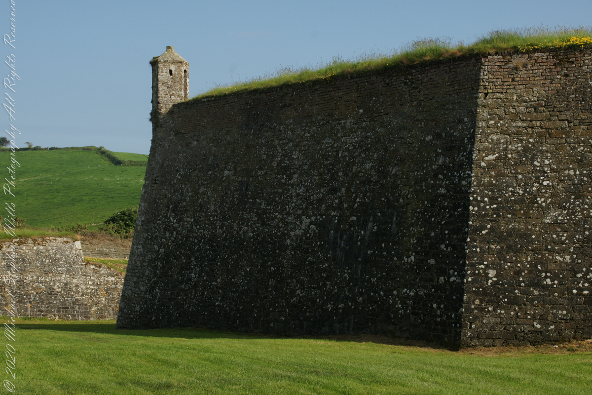
A cannot tell from my slide show, but the walls are star shaped with many salients, giving more positions to defend the walls.
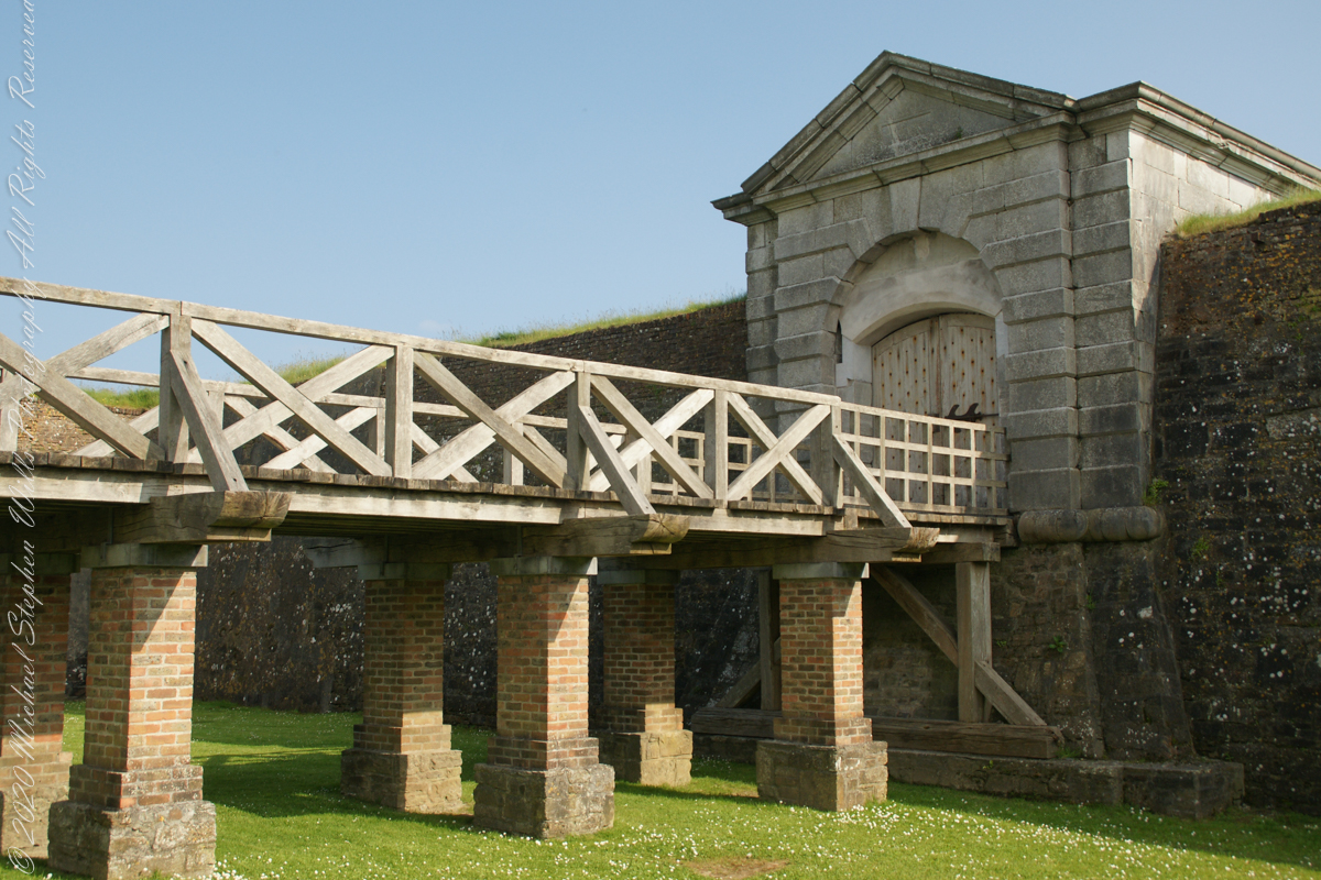
Steps to bridge across defensive ditch
Bridge and gate to fort enclosure, closed this late in day
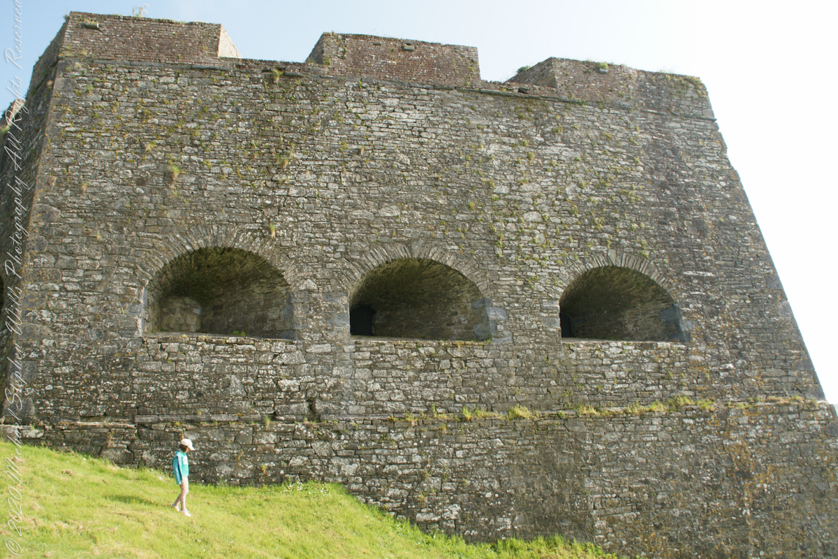
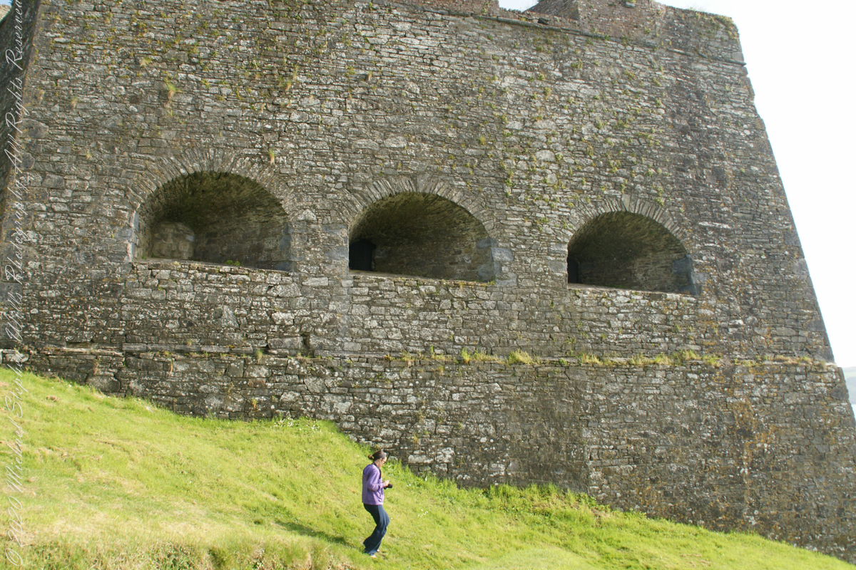
Embrasures
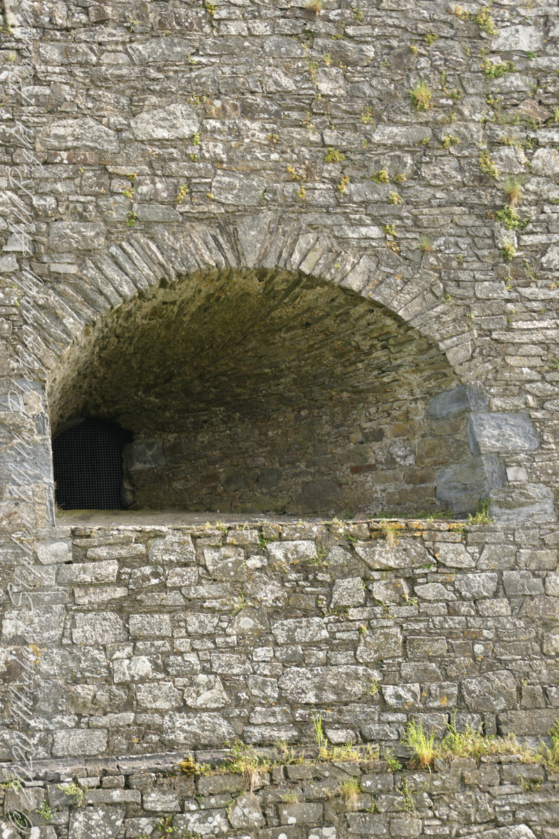
An opening in the fort walls which cannons can be fired. They were often flared outward to enlarge the field of fire.
Close-up of gun port
Crenellations
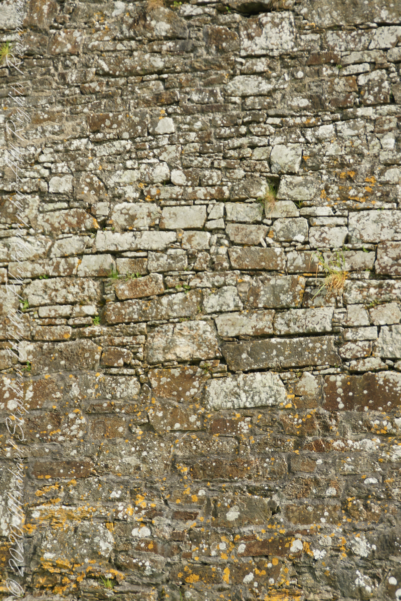
Tightly joined masonry
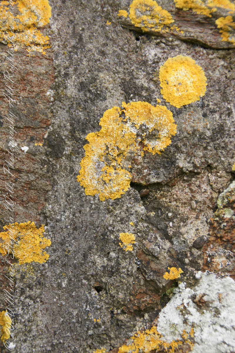
lichen
life has its way
seems to be a succulent
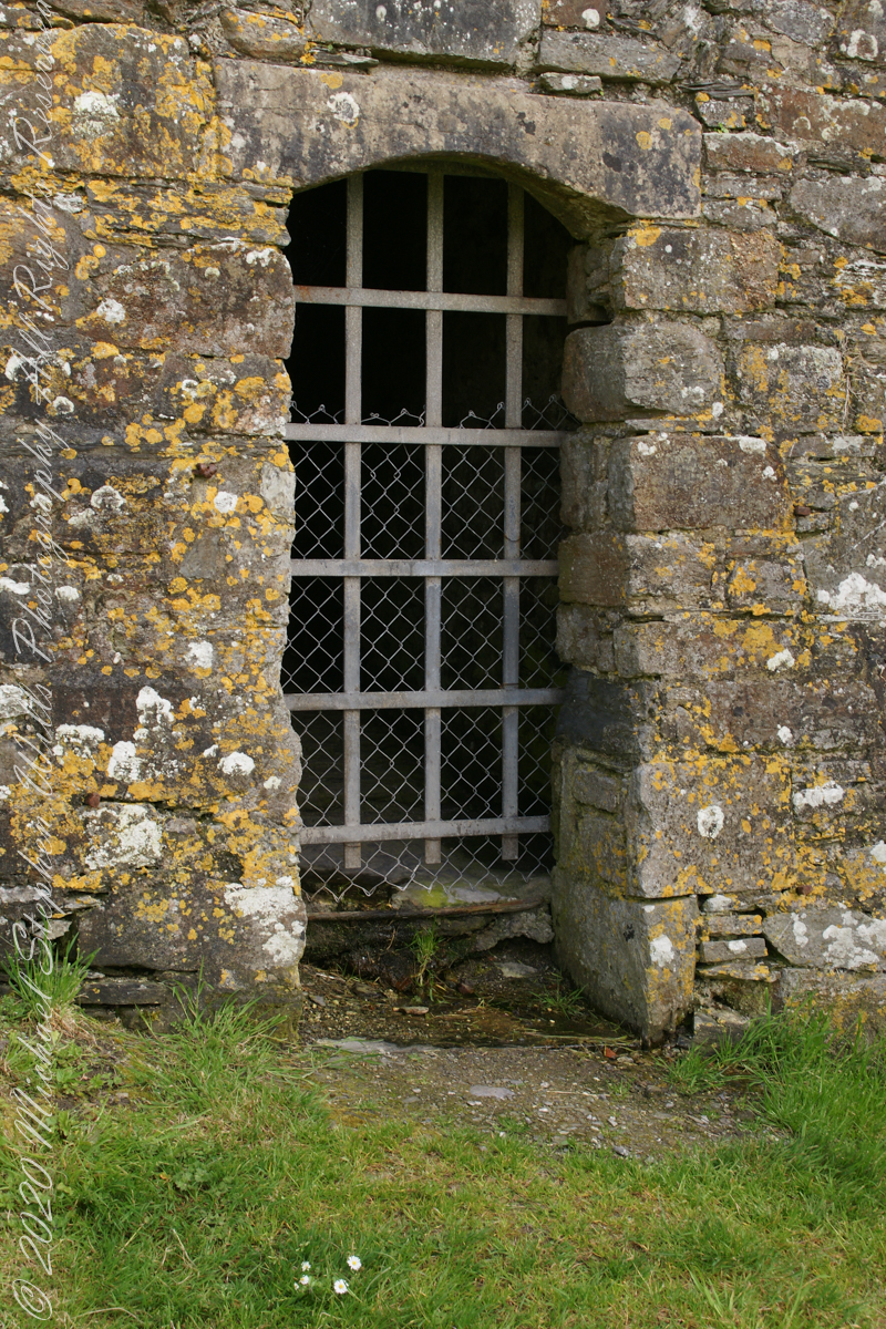
a doorway here seems a bad idea, but what do I know?
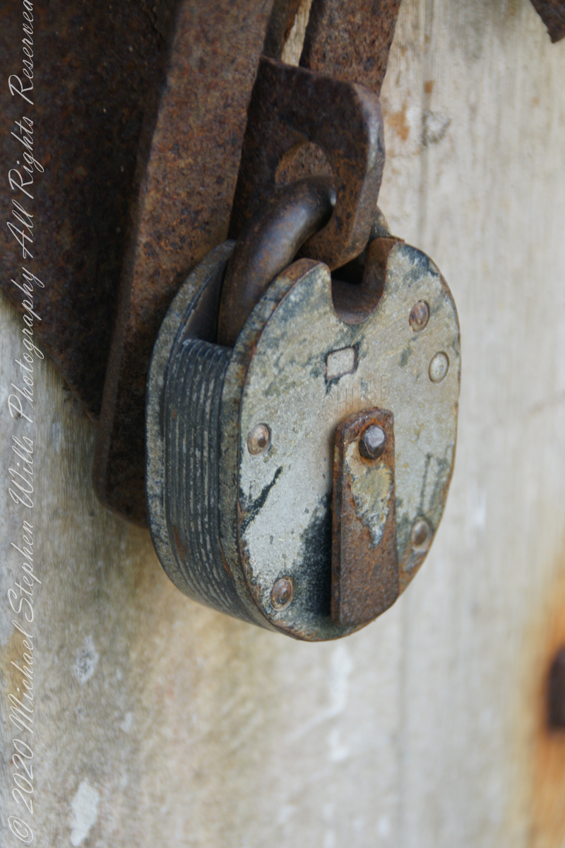
A pulley at first glance, look again and it is a lock
beneath the walls
Down to the Sallyport and the next post
References
“Charles Fort” – wikipedia
Copyright 2021 All Rights Reserved Michael Stephen Wills