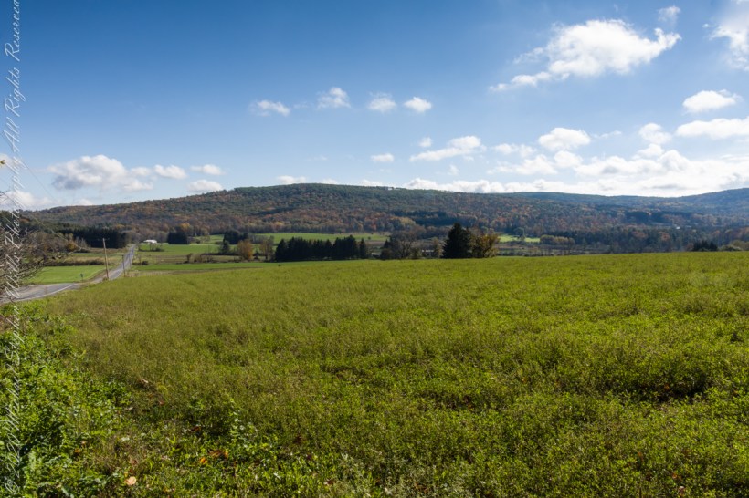
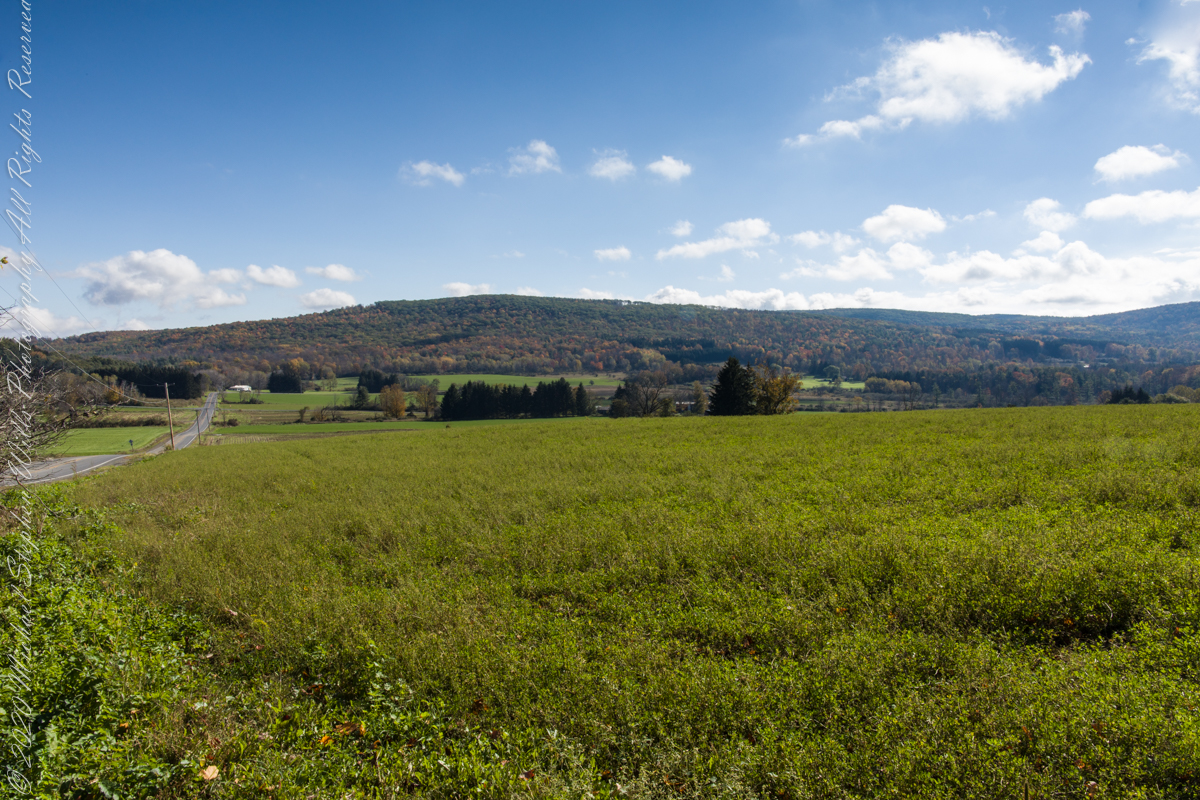
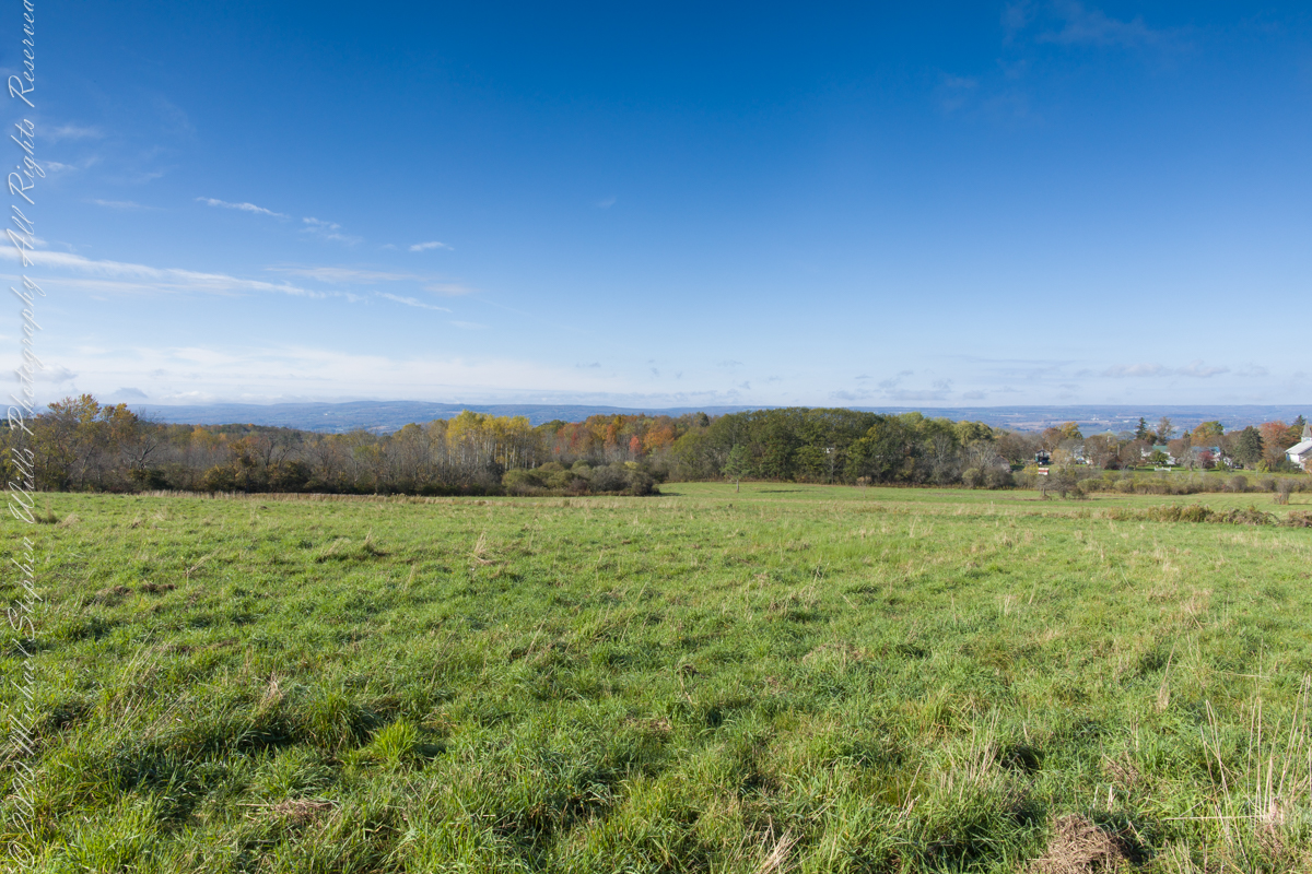
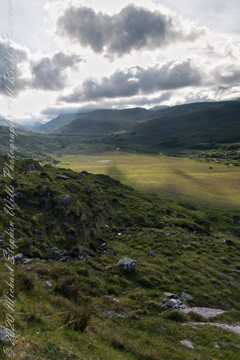
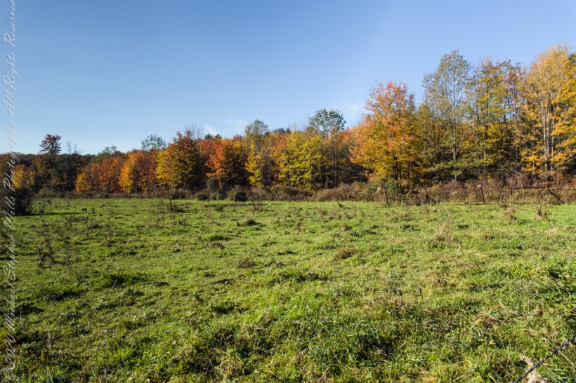
On our roundabout return from Finger Lakes National Forest we turned off Rt 79 at Mecklenburg onto county route 6 that becomes McIntyre Road in this stretch between two right angle curves. We turned off at the western curve with this fine autumn overlook toward Buck Hill.
Click photograph for a larger view. To do this from WordPress Reader, you need to first click the title of this post to open a new page.
Mornings are best for the west side of Finger Lakes National Forest ridge facing west over Seneca Lake. Set deep between hills, lake water is not visible, the distant land is the west side of the lake.
An abandoned church converted to Community Center is the distant steeple, marking the hamlet of Logan. I played a bit with the vista, moving forward and across, forgoing temptation to bring the autumn foliage front and center as this was private pasture, was 50 feet in as it was.
Click photograph for a larger view. To do this from WordPress Reader, you need to first click the title of this post to open a new page.
Click photograph for a larger view. To do this from WordPress Reader, you need to first click the title of this post to open a new page.
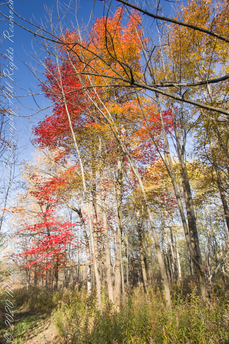
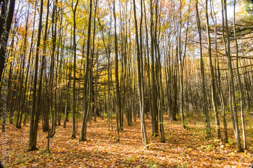
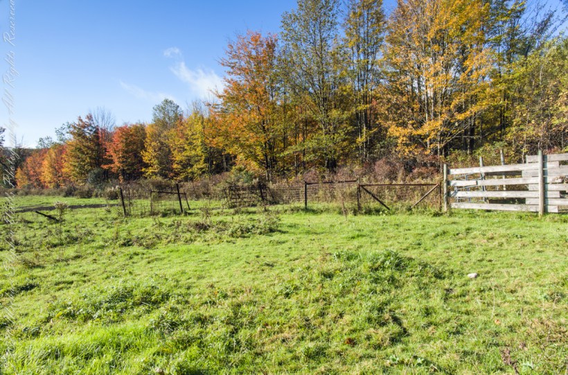
Finger Lakes National Forest is a patchwork of ancient forest, gorges and marginal farmland abondoned for decades such as this emerging forest next to an actively farmed pasture.
In the long history of this forested ridge two Iroquois tribes visited this unproductive land for tree nuts and hunting, unproductive in that the soil did not support agriculture. After the Revolutionary War, the British siding Iroquois tribes were driven away and the land given as one mile square blocks to soldiers, in payment for service. Those who settled this ridge cleared the land and farmed as best they could. During the Depression era, many of these farms were abandoned and others sold to the Federal government.
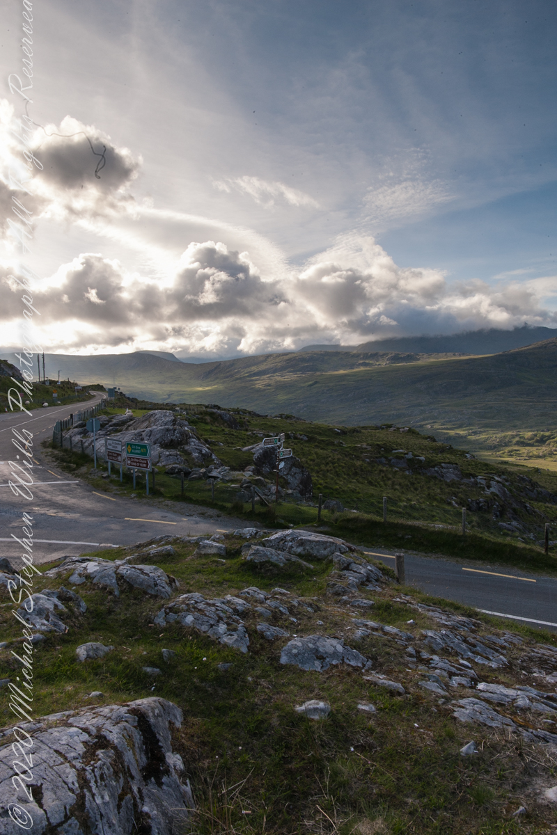
We are near Molls Gap on the Ring of Kerry. At our feet is Eric townland, there’s an epynmous Bog Nature Reserve down there.g of Kerry. At our feet is Eric townland, there’s an eponymous Bog Nature Reserve down there.
Townlands Derrylough, Crossderry and distant Bunbinnia take up most of the view. Those familiar with post-glacial topography will recognize the glacially oversteepened slopes of the distant through valley. The valley floor is a glacial outwash plain.
Click pic for larger view in a new browser tab. If you are in WordPress Reader, open the post to use this feature.
Copyright 2021 Michael Stephen Wills All Rights Reserved
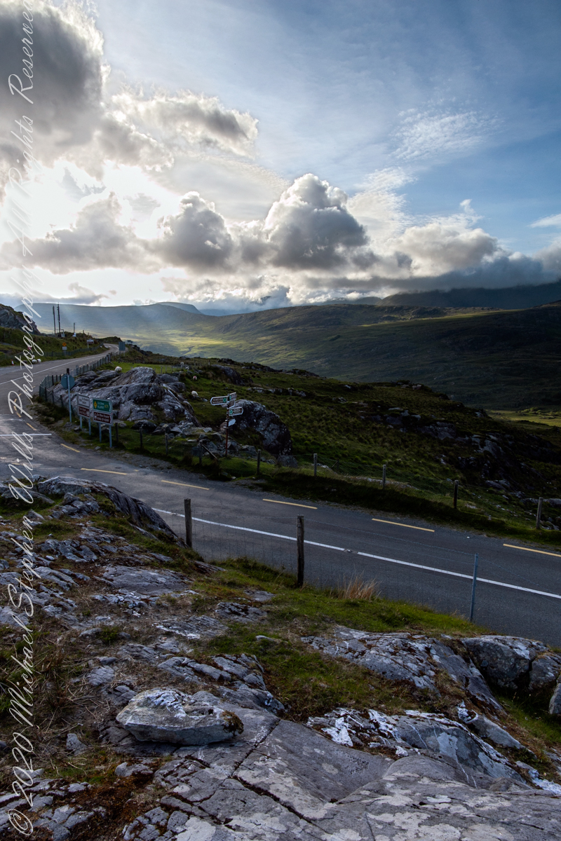
Here we are still standing in Moll’s Gap, looking a bit farther northwest into Black Valley than for View Two. Across the far mountains is Black Valley, a place so remote it was among the last, on the island itself (“mainland”) to be electrified or connected to telephone networks. Today Black Valley is a southerly route to the Gap of Dunloe well known to certain hikers and cyclists.
I am struggling here to deal with the vast range of light intensity from the glow of a westering sun, to the shadows cast by surrounding heights.
Beneath our feet are the slopes of Derrygarriff (in Irish Doire Gharbh) of the Mangerton range. Across the way is Crossderry peak of the Dunkerron mountains, the townland is named for the peak (or vice versa).
Click pic for larger view in a new browser tab. If you are in WordPress Reader, open the post to use this feature.
Here is a second try, a bit more successful as the clouds opened to shine on distant land. I did work in Photoshop to manage the brightest clouds.
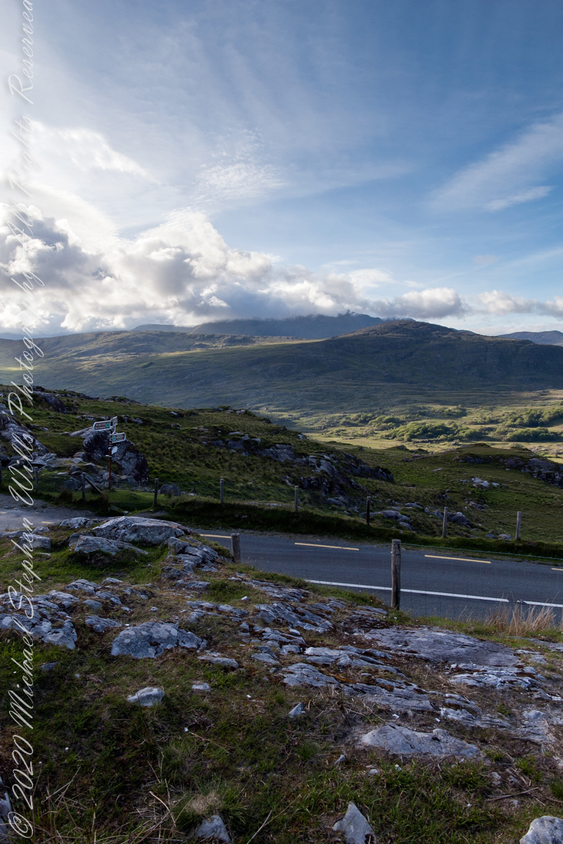
Here are all three versions of the Black Valley view from Moll’s Gap. Enjoy
Copyright 2021 Michael Stephen Wills All Rights Reserved
In the long history of this forested ridge two Iroquois tribes relied on this land for tree nuts and hunting, the soil did not support agriculture. After the Revolutionary War, the British siding Iroquois tribes were driven away and the land given as one mile square blocks to soldiers, in payment for service. During the Depression era, many of these farms were abandoned and others sold to the Federal government.
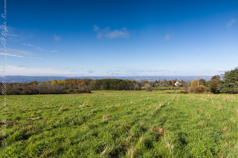
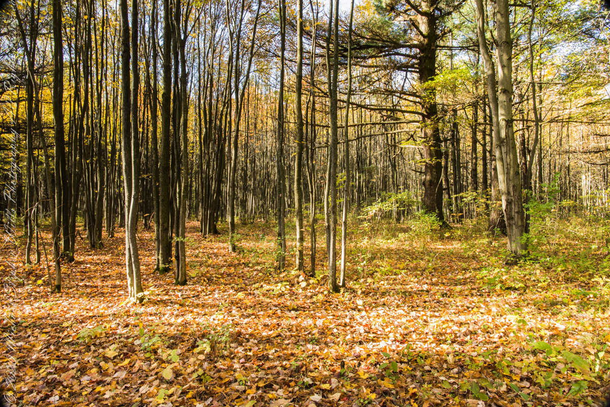
Today, there is a patchwork of private land and National Forest. This line of color marks the forest boundary on the eastern ridge side.
Click photograph for a larger view. To do this from WordPress Reader, you need to first click the title of this post to open a new page.
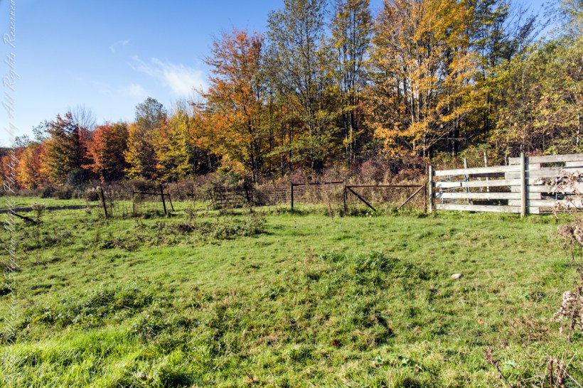
I positioned the tripod against the barbed wire fence marking the posted property. A few barbs and sear goldenrod flowers just visible in the lower right corner.
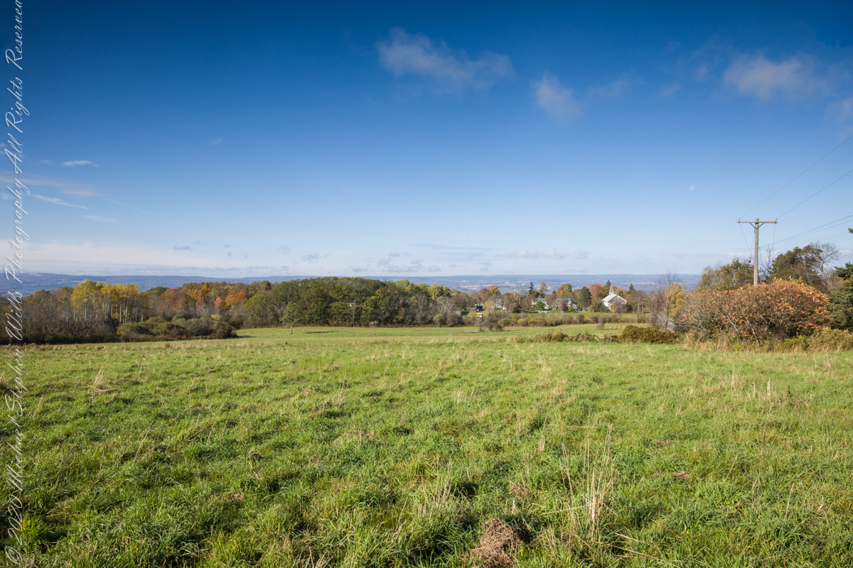
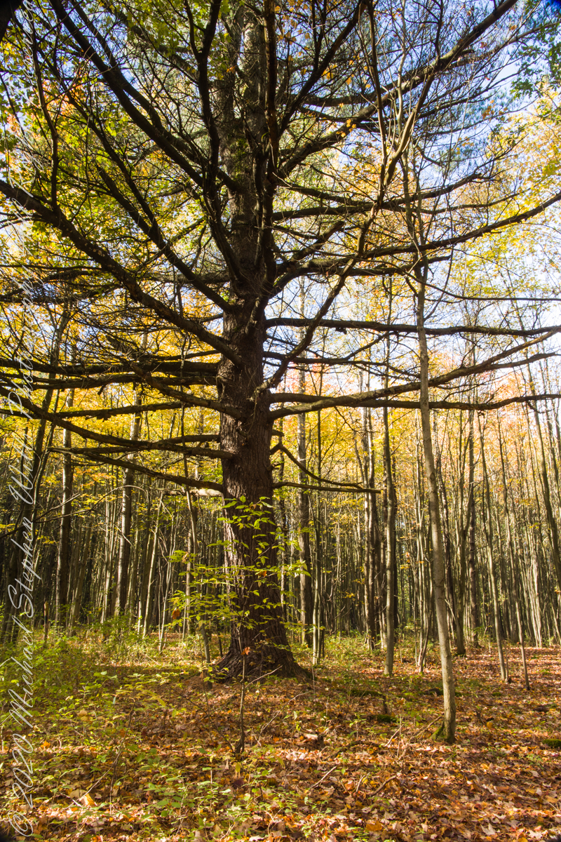
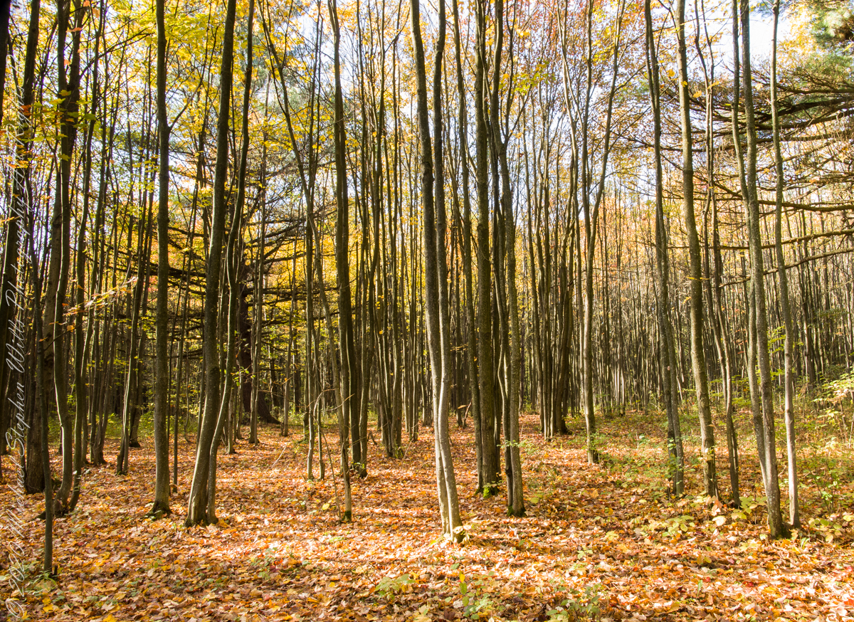
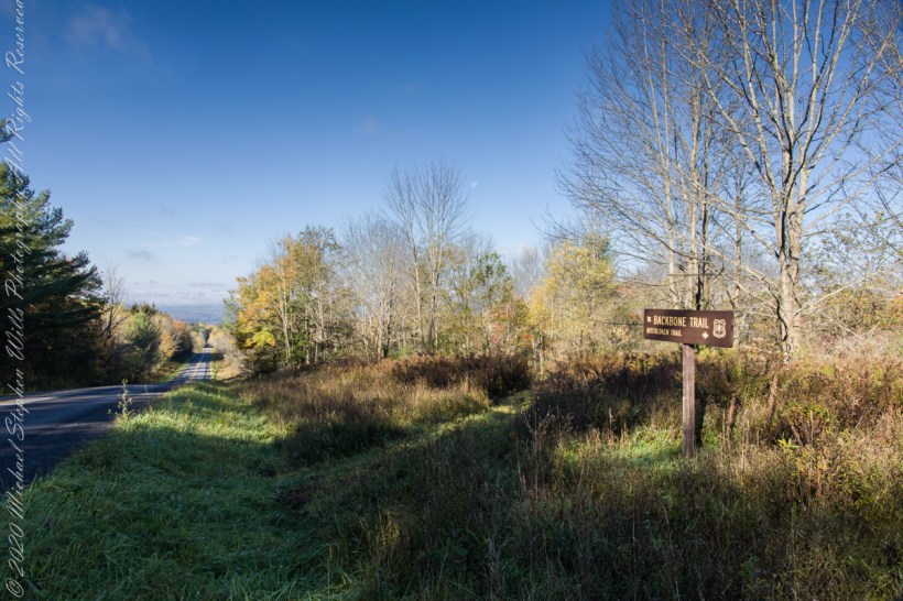
An open road, autumn morning, a hiking trail under a setting moon. Thirty miles of hiking trails thread these 16,212 acres. Some, like the Backbone trail, traverse farmland reverted to forest and meadow, popular for horseback riding.
Click photograph for a larger view. To do this from WordPress Reader, you need to first click the title of this post to open a new page.