Finger Lakes National Forest 4

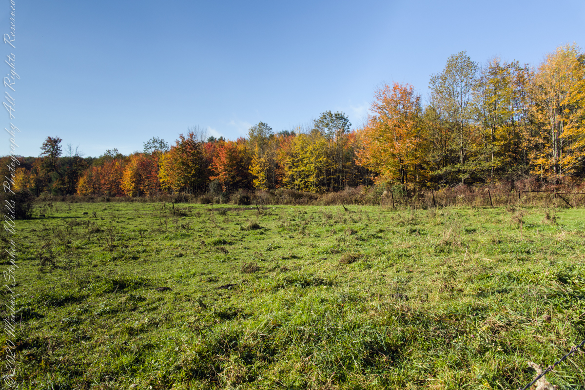
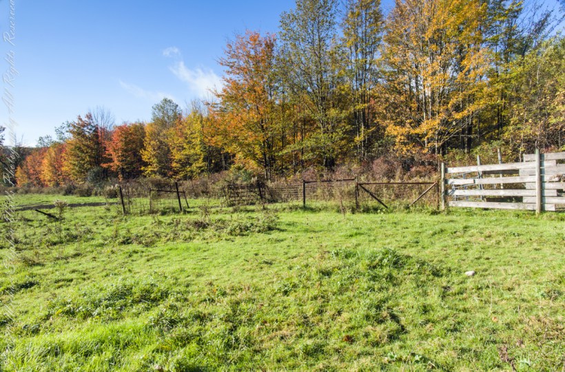
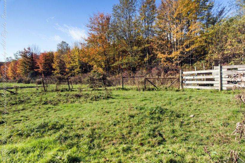
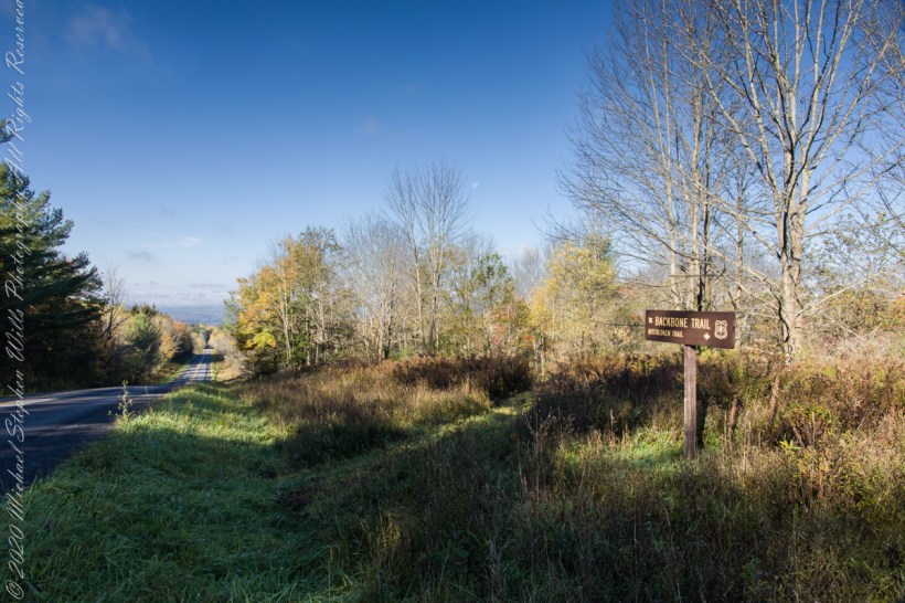
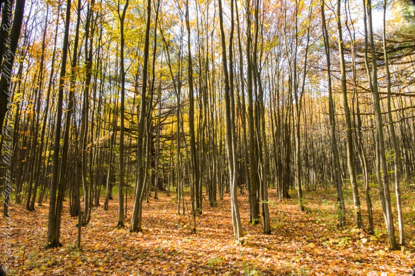
farmland reverted to forest

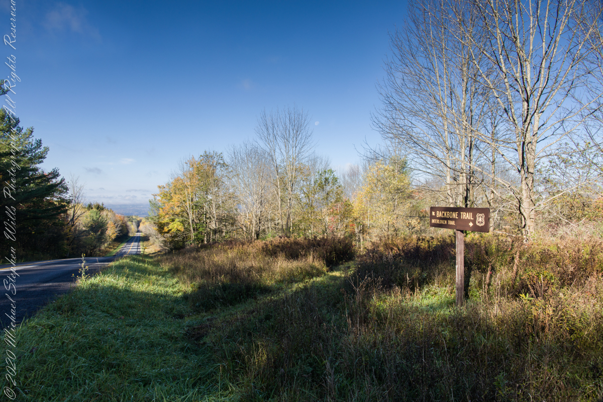
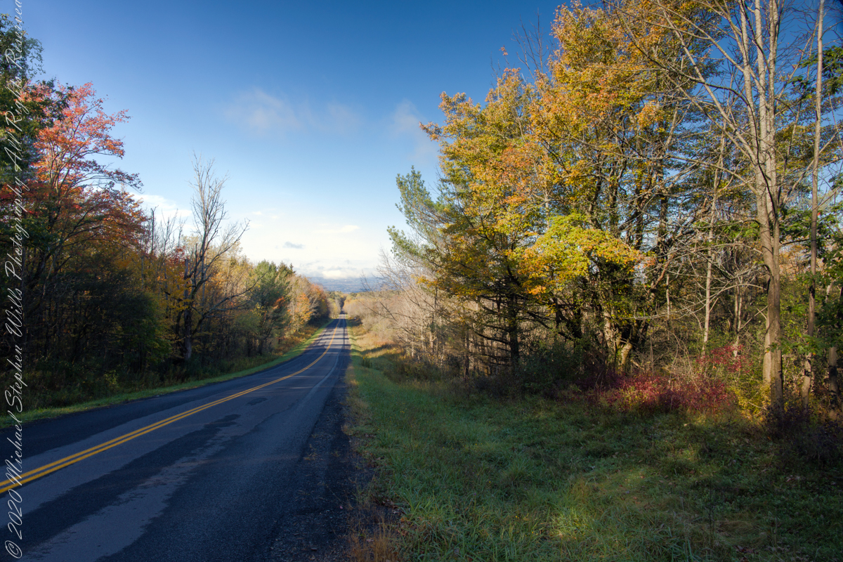
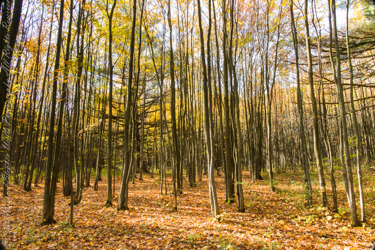
In the long history of this forested ridge two Iroquois tribes visited this unproductive land for tree nuts and hunting, unproductive in that the soil did not support agriculture. After the Revolutionary War, the British siding Iroquois tribes were driven away and the land given as one mile square blocks to soldiers, in payment for service. Those who settled this ridge cleared the land and farmed as best they could. During the Depression era, many of these farms were abandoned and others sold to the Federal government.

Today, there is a patchwork of private land and National Forest. We stand here just across a border with a private pasture featured in Part 3. This is land returning to forest.

Click photograph for a larger view. To do this from WordPress Reader, you need to first click the title of this post to open a new page.
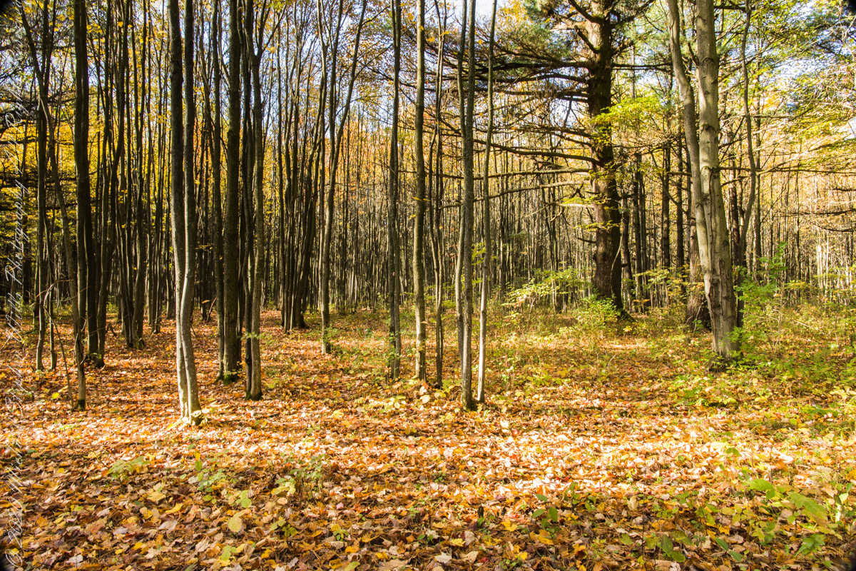
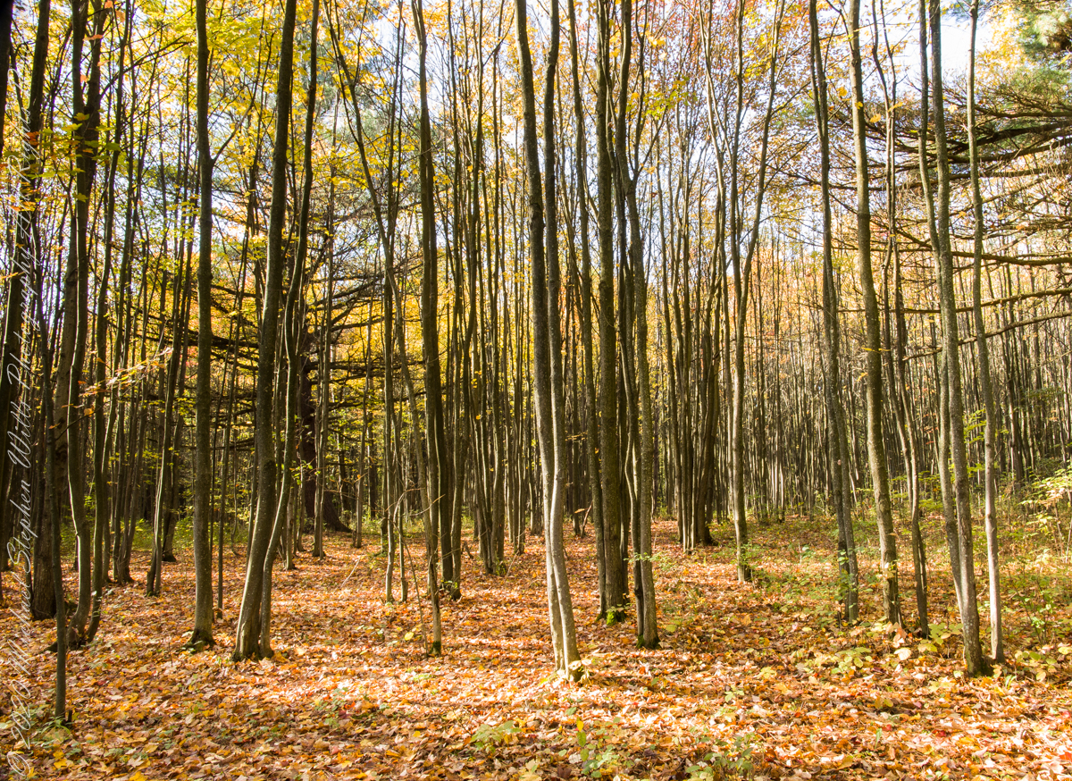
In this series of three exposures I whittled away at edges to achieve the final result in this third.
Click me for the next post of this series.

Click me for the first post of this series.
Eirk Townland View Four

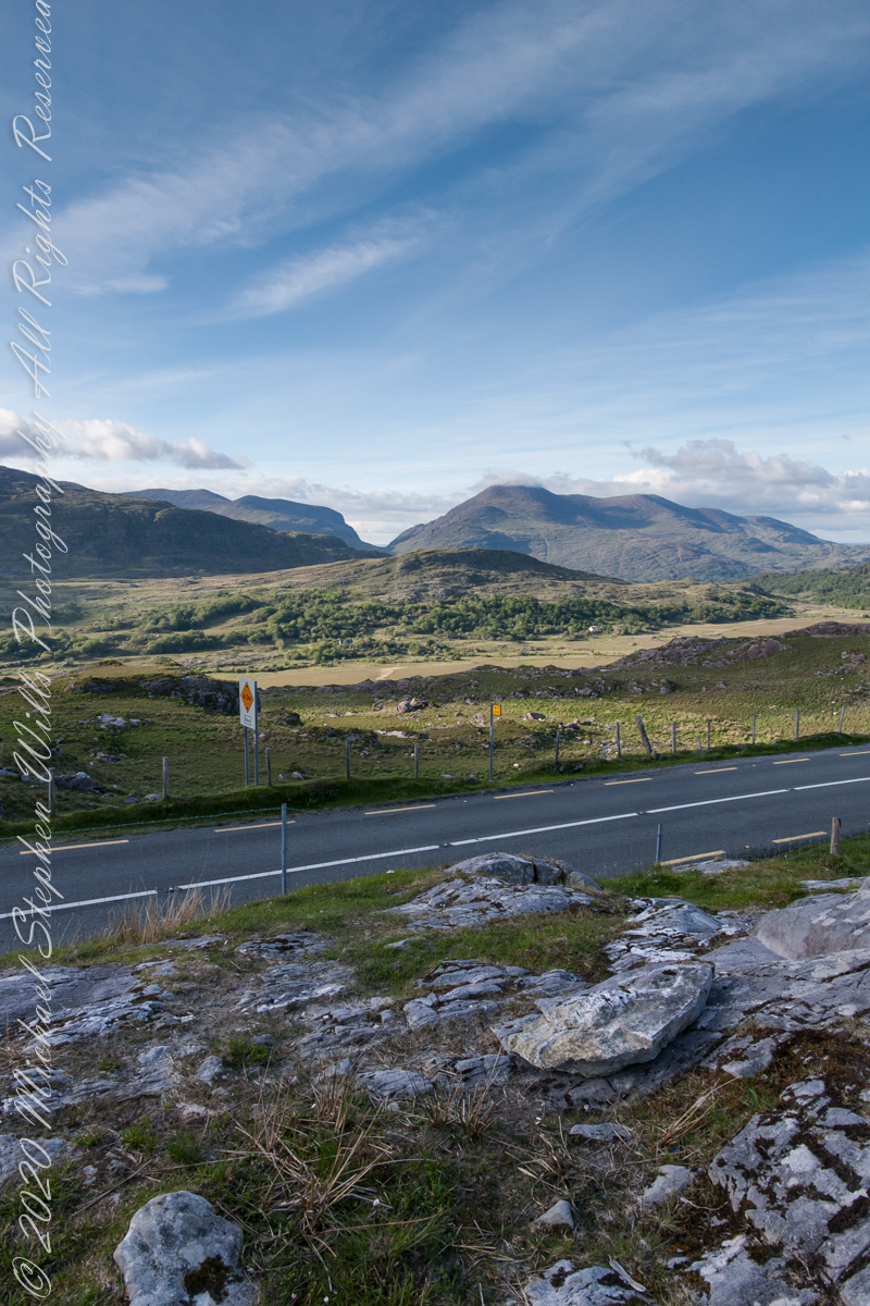
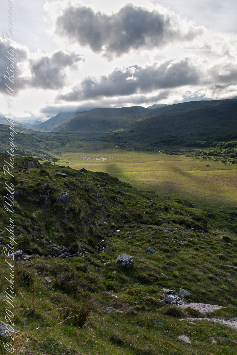
Looking toward Lough Gummeenduff

We are near Molls Gap on the Ring of Kerry. At our feet is Eric townland, there’s an epynmous Bog Nature Reserve down there.g of Kerry. At our feet is Eric townland, there’s an eponymous Bog Nature Reserve down there.

Townlands Derrylough, Crossderry and distant Bunbinnia take up most of the view. Those familiar with post-glacial topography will recognize the glacially oversteepened slopes of the distant through valley. The valley floor is a glacial outwash plain.

Click pic for larger view in a new browser tab. If you are in WordPress Reader, open the post to use this feature.

Copyright 2021 Michael Stephen Wills All Rights Reserved

Eirk Townland View Three

Across the far mountains is Black Valley

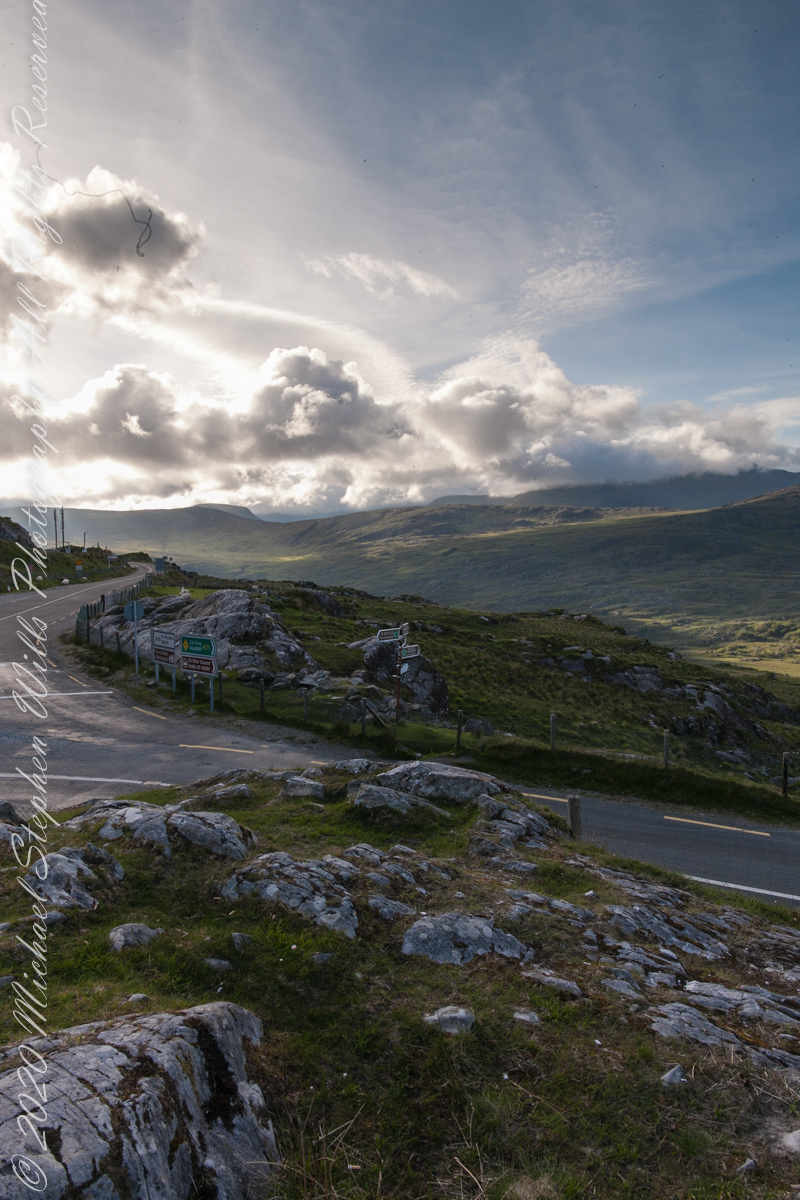
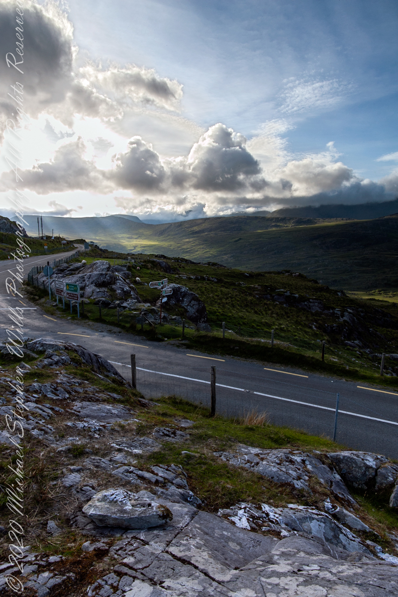
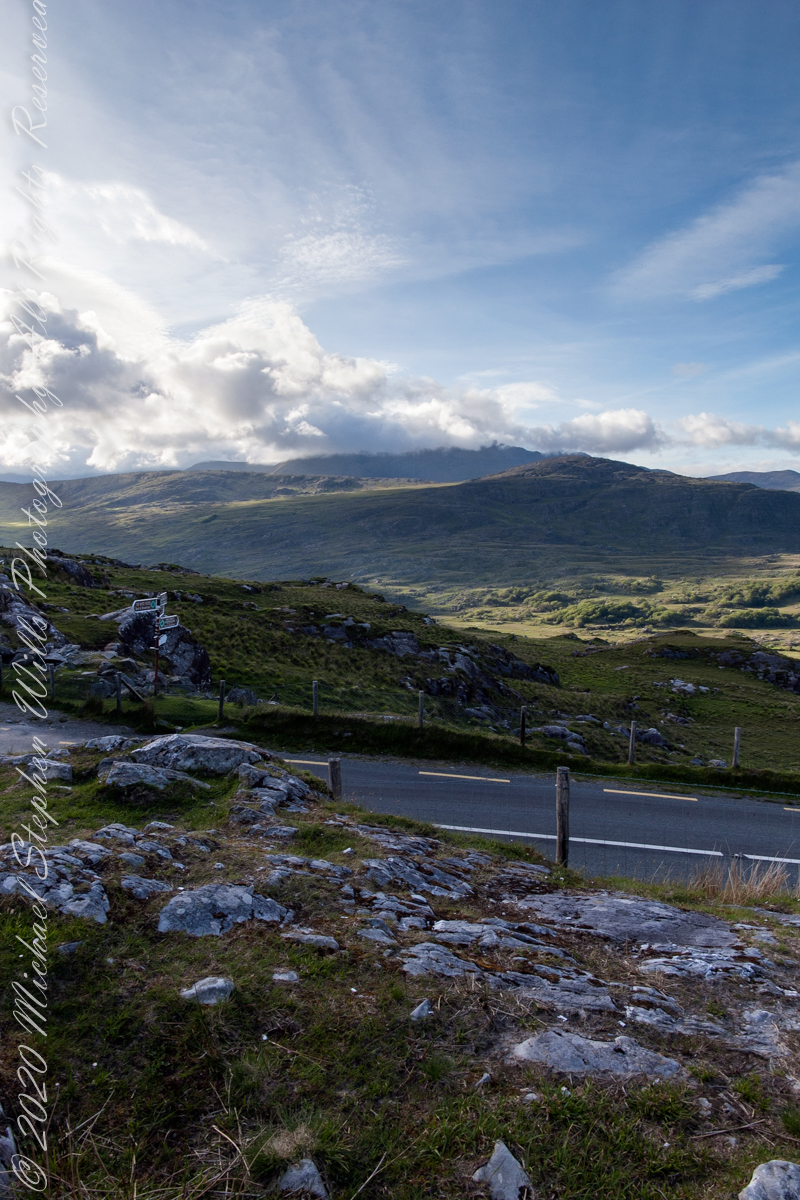
Here we are still standing in Moll’s Gap, looking a bit farther northwest into Black Valley than for View Two. Across the far mountains is Black Valley, a place so remote it was among the last, on the island itself (“mainland”) to be electrified or connected to telephone networks. Today Black Valley is a southerly route to the Gap of Dunloe well known to certain hikers and cyclists.

I am struggling here to deal with the vast range of light intensity from the glow of a westering sun, to the shadows cast by surrounding heights.

Beneath our feet are the slopes of Derrygarriff (in Irish Doire Gharbh) of the Mangerton range. Across the way is Crossderry peak of the Dunkerron mountains, the townland is named for the peak (or vice versa).

Click pic for larger view in a new browser tab. If you are in WordPress Reader, open the post to use this feature.

Here is a second try, a bit more successful as the clouds opened to shine on distant land. I did work in Photoshop to manage the brightest clouds.

Here are all three versions of the Black Valley view from Moll’s Gap. Enjoy

Copyright 2021 Michael Stephen Wills All Rights Reserved

Finger Lakes National Forest 3

compare portrait vs. landscape orientation.

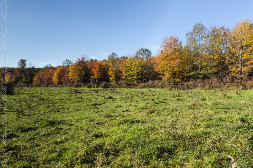
In the long history of this forested ridge two Iroquois tribes relied on this land for tree nuts and hunting, the soil did not support agriculture. After the Revolutionary War, the British siding Iroquois tribes were driven away and the land given as one mile square blocks to soldiers, in payment for service. During the Depression era, many of these farms were abandoned and others sold to the Federal government.

Today, there is a patchwork of private land and National Forest. This line of color marks the forest boundary on the eastern ridge side.

Click photograph for a larger view. To do this from WordPress Reader, you need to first click the title of this post to open a new page.

I positioned the tripod against the barbed wire fence marking the posted property. A few barbs and sear goldenrod flowers just visible in the lower right corner.

Click me for another Finger Lakes Autumn post.

Finger Lakes National Forest 2

compare portrait vs. landscape orientation.

An open road, autumn morning, a hiking trail under a setting moon. Thirty miles of hiking trails thread these 16,212 acres. Some, like the Backbone trail, traverse farmland reverted to forest and meadow, popular for horseback riding.

Click photograph for a larger view. To do this from WordPress Reader, you need to first click the title of this post to open a new page.
Click me for another Finger Lakes Autumn post.

Eirk Townland View Two

Black Valley

Here we are standing in Moll’s Gap, looking northwest into Black Valley, a place so remote it was among the last, on the island itself (“mainland”) to be electrified or connected to telephone networks.

Beneath our feet are the slopes of Derrygarriff (in Irish Doire Gharbh) of the Mangerton range. Across the way is Crossderry peak of the Dunkerron mountains, the townland is named for the peak. Black Valley, now a southerly route to the Gap of Dunloe well known to certain hikers and cyclists, is beyond the far mountains.

Click pic for larger view in a new browser tab. If you are in WordPress Reader, open the post to use this feature.

Copyright 2021 Michael Stephen Wills All Rights Reserved

Finger Lakes National Forest 1

compare portrait vs. landscape orientation.

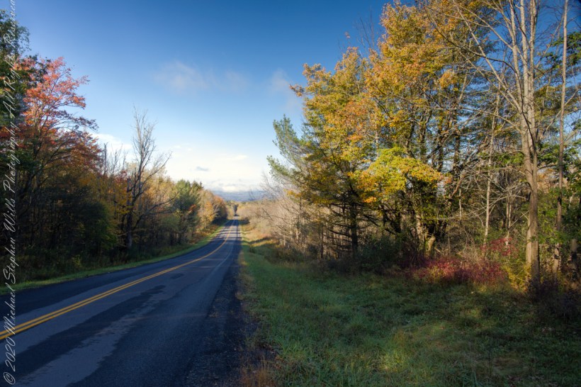
The only National Forest in New York State, this land is visible as a ridge to the west of our home. Here we are on the west side, the ridge of Seneca Lake in the distance.

Click photograph for a larger view. To do this from WordPress Reader, you need to first click the title of this post to open a new page.
Click me for another Finger Lakes Autumn post.

Eirk Townland View One

Here we are in Moll’s Gap, also known in the Irish language as Céim an Daimh (meaning, Gap of the Ox)

Here we are, on the road from Kenmare to Killarney, N71, part of the Ring of Kerry around the Iveragh Peninsula. The spot is the mountain pass Moll’s Gap, also known in the Irish language as Céim an Daimh (meaning, Gap of the Ox). In the Nineteenth Century a woman named Moll Kissane ran a public house here, operating illegally.

The mountain of this townland, named Eirk (also known as Adhard) , is composed of a fine grained sandstone found in a wide swath from North America’s northeastern coast, Greenland, Ireland, Great Britain — lands formerly part of the same ancient continent.

Click pic for larger view in a new browser tab. If you are in WordPress Reader, open the post to use this feature.

Copyright 2021 Michael Stephen Wills All Rights Reserved

Headed Up Cottage Road, Inishmore

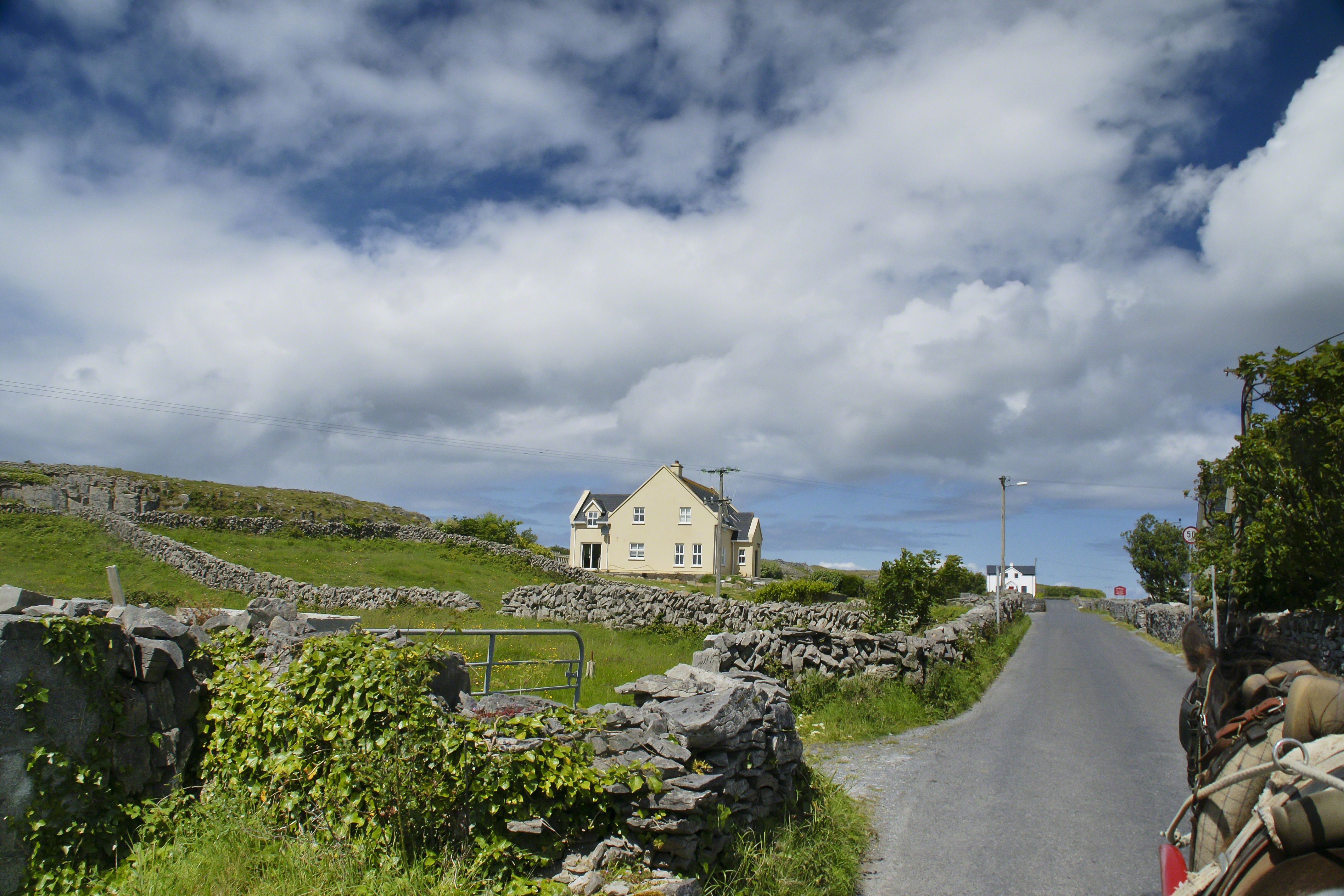
View from a horse trap on the Aran Islands, Galway Bay, Ireland

Enjoying travel on a horse trap, a type of carriage, on Inishmore (Inis Mór), the largest Aran Island in Galway Bay we headed up Cottage Road from Kilronan, the main island settlement.  It was there we embarked from the ferry, hired the driver, his horse drawn trap.  Our destination an iron age fort, Dun Aengus (Dún Aonghasa, the Irish language name) and the sights along the way. 

Headed up Cottage Road, I captured this view of dry stone walls and homes against the May sky over the shoulder of our horse.

Click the link for my Getty IStock photography of the Aran Islands
Headed up Cottage Road

Copyright 2019 All Rights Reserved Michael Stephen Wills

Copyright 2021 Michael Stephen Wills All Rights Reserved

Saguaro Sky

dramatic skies from Saguaro National Park

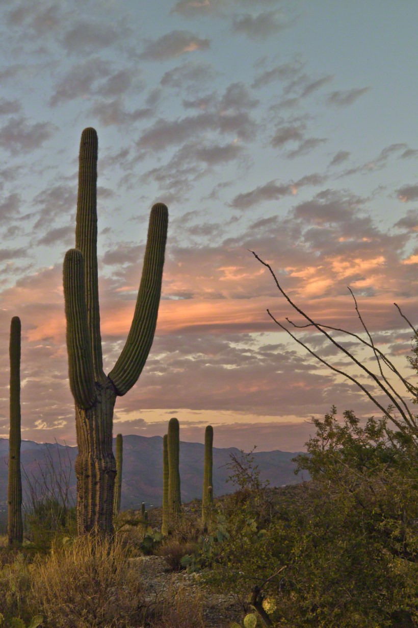
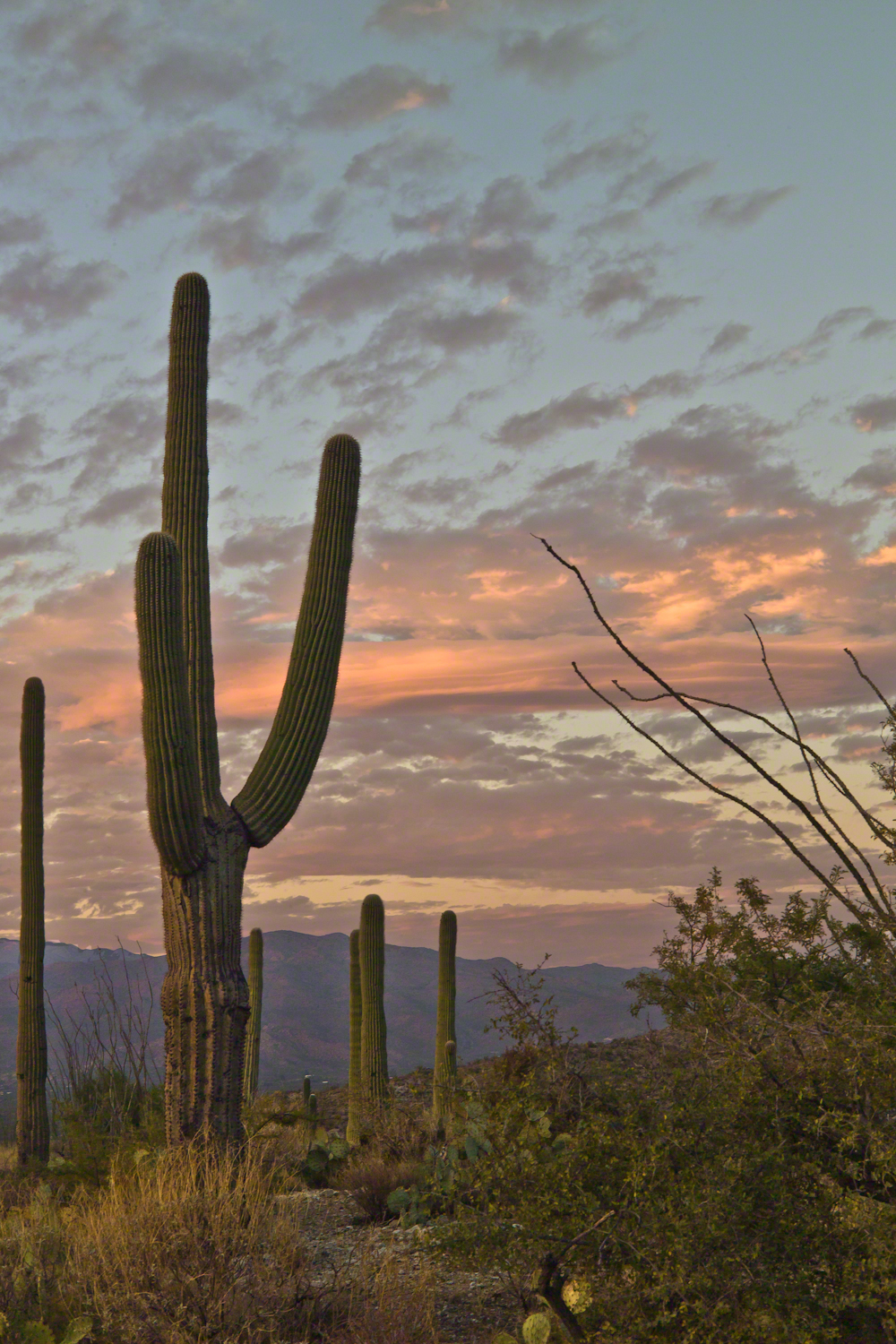
November is a special time for the ranges and basins of southern Arizona deserts.  Climb a bajada of foothills, face west and wait for the sunset.  That is what I did this day, November 3, 2005.  East of Tucson the Saguaro National Monument at the foot of the Rincon Mountain Wilderness is where I parked, unpacked the photo gear and climbed the side of the Tanque Verde Ridge for a favorable view.  Weather was pushing high level moisture from the west, clouds were developing.

You see here a shot from that session.  In the distance, looking across Tanque Verde, are the Santa Catalina mountains.  Months since the last rainfall, the giant Saguaros are using internal moisture reserves drawn up from a shallow root system, the flesh is less plump, the supporting structure of the ribs, always evident, are more pronounced.  The last light catches these ribs in relief against a dramatic sky.

Click this link or the photograph for my Online gallery of this offering
Saguaro Sunset -- CLICK ME!!!!

Click me for another Arizona sunset post.

Copyright 2021 Michael Stephen Wills All Rights Reserved