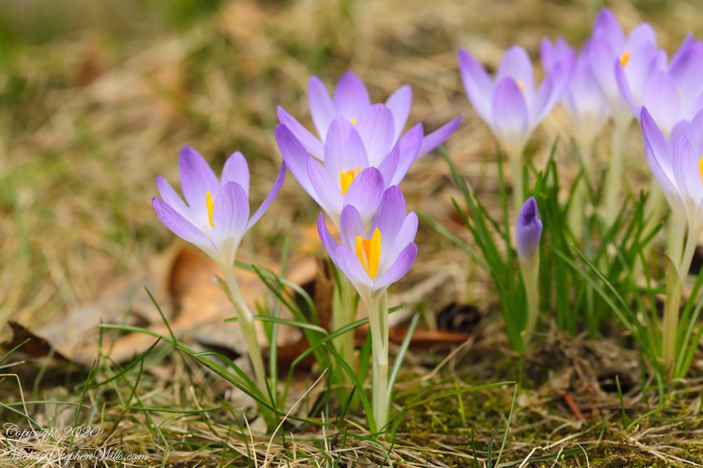
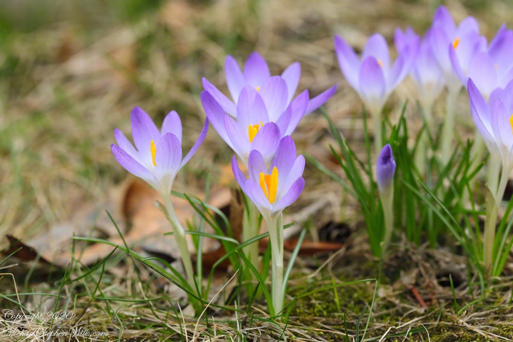
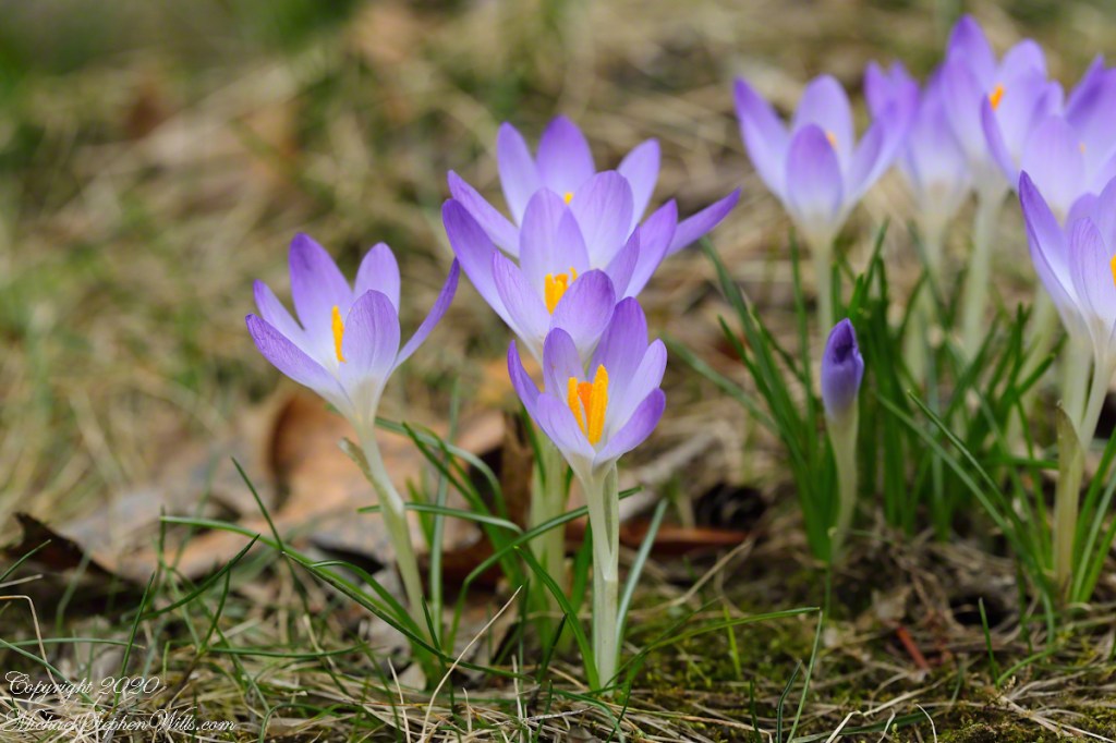
Coronavirus is raging this March 20th (I schedule posts several weeks ahead now), on this day of our anniversary, easy for me to remember falling close to or on the Spring equinox. Earliest spring flowers were up for a week when I spied this group of crocus blooms on a hill. We do not remember them being there, so I called Pam to enjoy them.
Click photograph for a larger view. To do this from WordPress Reader, you need to first click the title of this post to open a new page.
These are extra special, Pam’s parents planted them years ago. The above images are the same photograph. On the left, white balance is set to “cloudy.” At the time, late afternoon, the sun was behind low clouds, providing back light. Perfect lighting for flowers, which is why I interrupted springtime yard cleanup to run inside for the camera.
My intent was to increase the f-stop to over 20 for the following photograph. Metadata on the photograph shows I was only successful in increasing it from 5 to 5.7. ISO was increased from 100 to 400. There was an intermittent breeze and my intent was to avoid blur.
In retrospect, I neglected to change to Aperture mode so any change to F-stop I made was reset. This is a beginners mistake, so photograph turned out well. The colors are richer in the f/5.7 shot.
Copyright 2020 All Rights Reserved Michael Stephen Wills
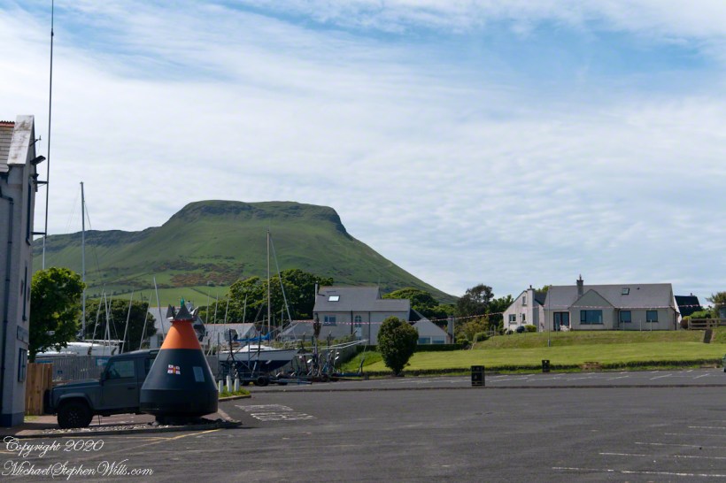
Today, the nearest ferry is just over an hour south, on the M2, Belfast and there is no option for the Mull of Kintyre. You can go to Cairnyan, Scotland; Douglas, Isle of Mann; or Liverpool, England.
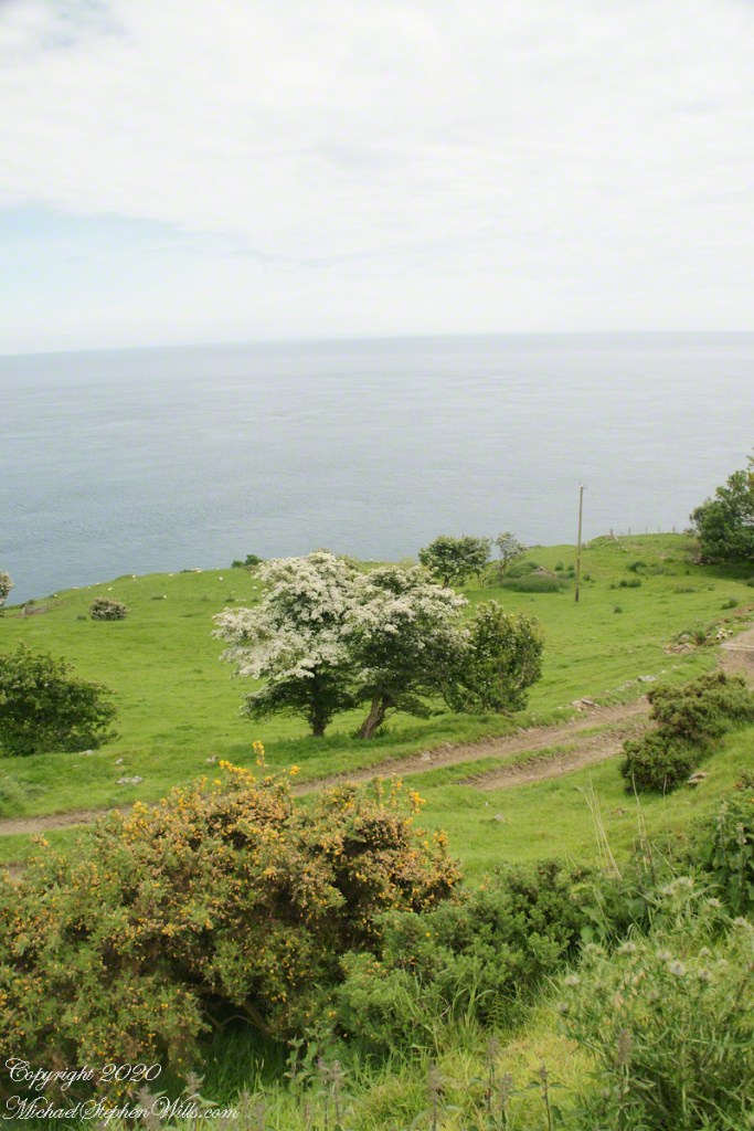
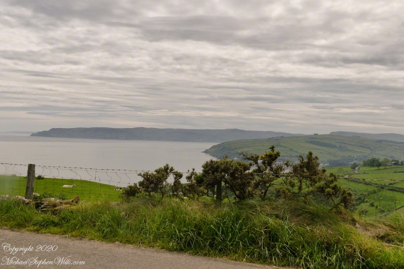
Torr Road lopes over the hill, upper right.
Click photograph for a larger view. To do this from WordPress Reader, you need to first click the title of this post to open a new page.
Copyright 2020 All Rights Reserved Michael Stephen Wills
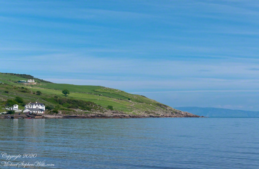
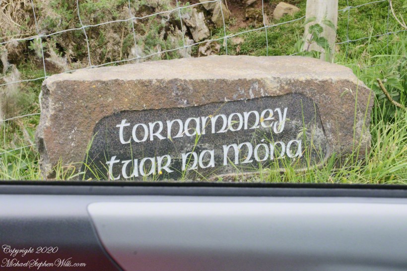
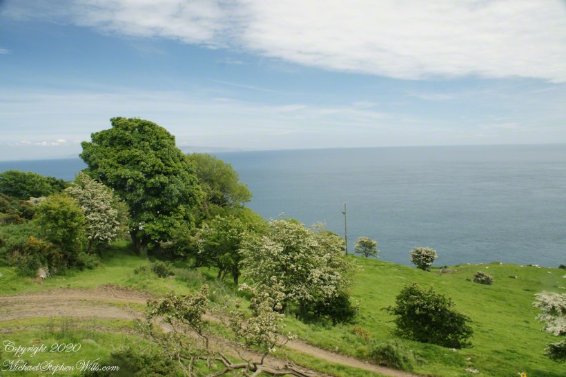
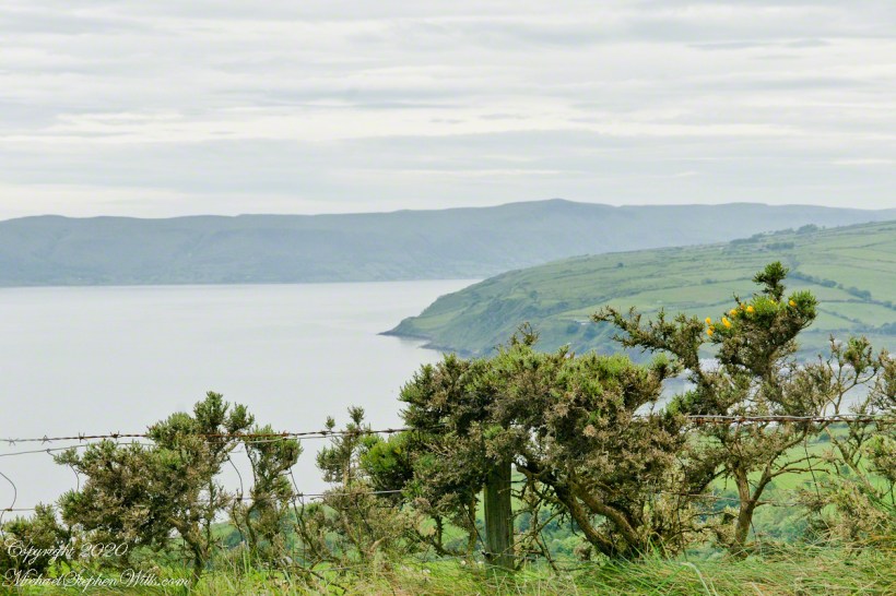
North is a glimpse of land across the water, a reason Cushendun was a ferry port since ancient times: the Mull of Kintyre across the North Channel. The ridge to the sea is townland Tornamoney (Irish Tor na monadh).
Click photograph for a larger view. To do this from WordPress Reader, you need to first click the title of this post to open a new page.
Copyright 2020 All Rights Reserved Michael Stephen Wills
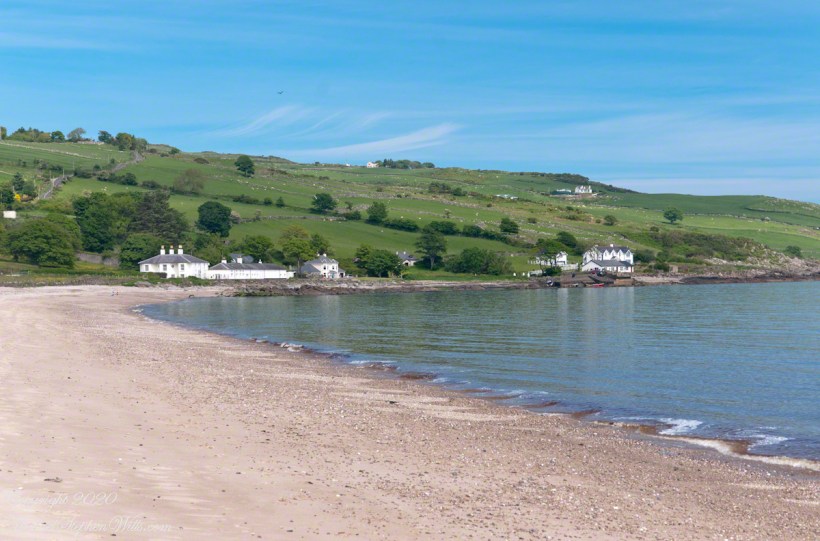
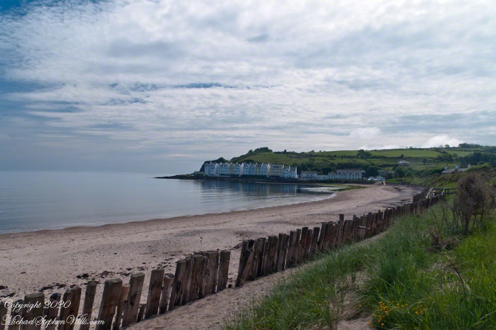
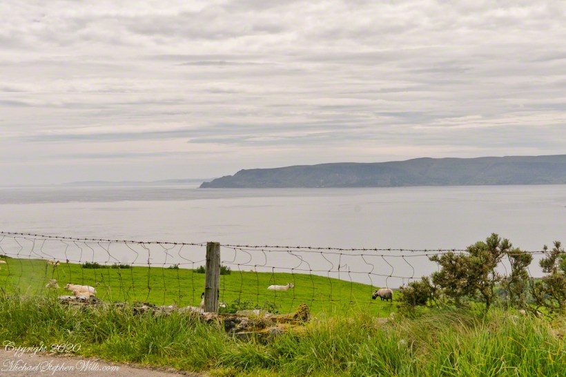
Standing on the beach at Cushendun village, looking west towards the glens. The Antrim coast is notable for the rising tablelands of broad, eroded valleys, or glens.
Click photograph for a larger view. To do this from WordPress Reader, you need to first click the title of this post to open a new page.
SONY DSC
Copyright 2020 All Rights Reserved Michael Stephen Wills
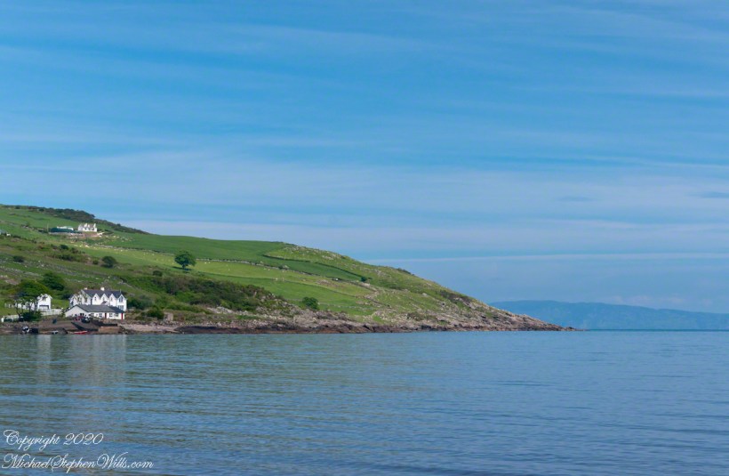
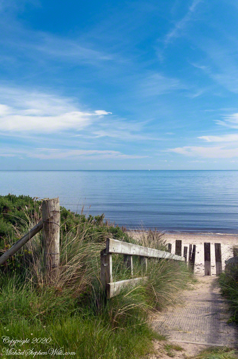
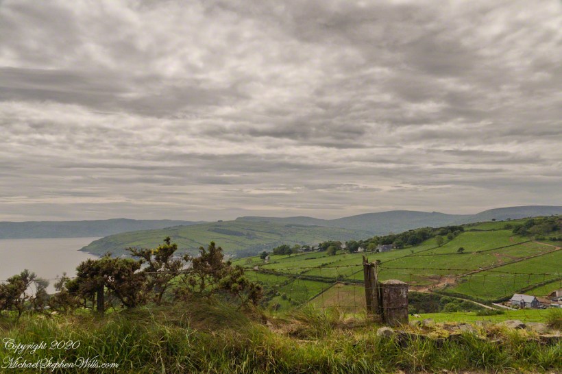
Here is a view of our route to Torr Head standing on the beach at Cushendun, facing north. The village name in Irish is Cois Abhann Doinne, meaning at the foot of the river Dun, the land here and bay formed by the outflow of rivers from the glens.
Click photograph for a larger view. To do this from WordPress Reader, you need to first click the title of this post to open a new page.
Copyright 2020 All Rights Reserved Michael Stephen Wills
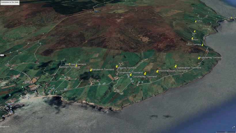
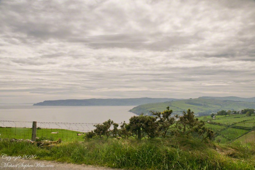
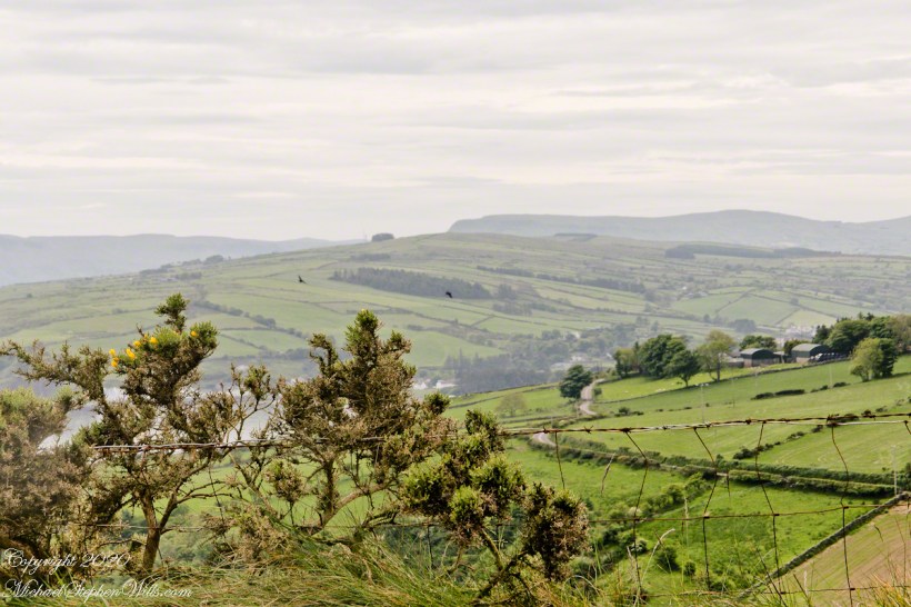
In 3.1 miles Torr Road passes nine townlands between Cushendun and Torcorr Townland, each with a namestone holding the Irish and Anglicized name. We can walk it in an hour at a steady pace, the terrane is sliced up so.
Click photograph for a larger view. To do this from WordPress Reader, you need to first click the title of this post to open a new page.
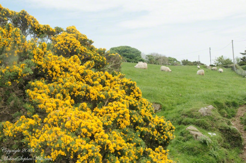
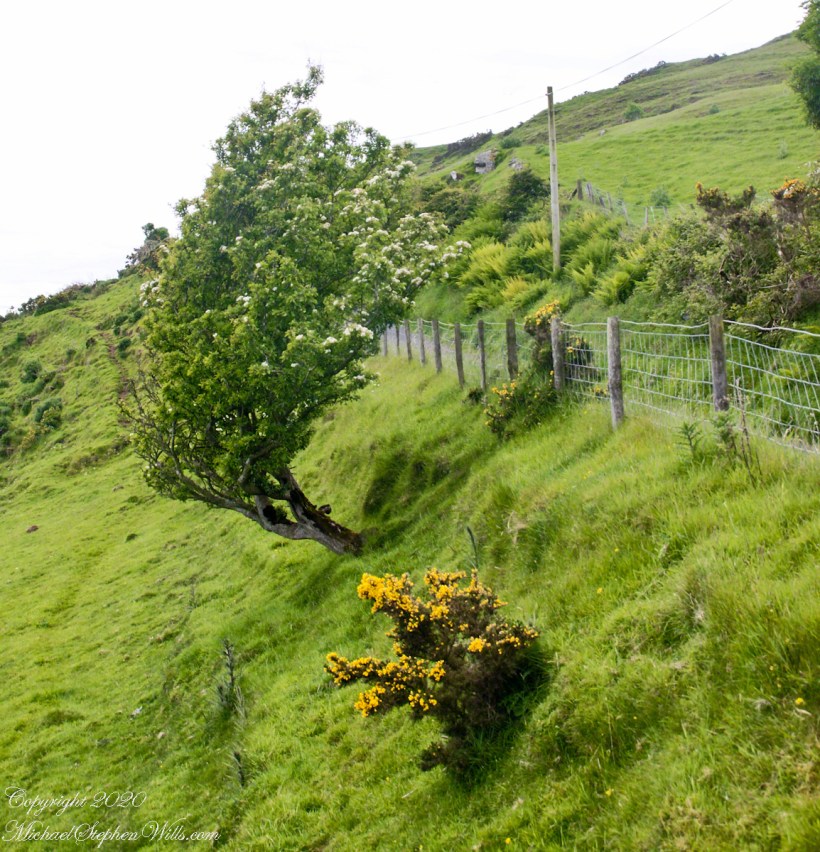
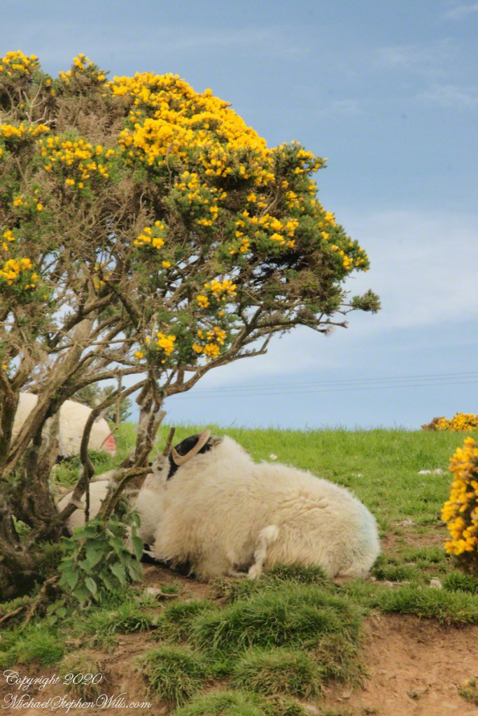
Whin Bush in flower
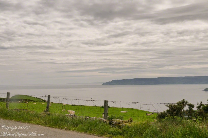
Tornamoney townland is “Cattle Field of the Bogland.” That is the car door, foreground.
SONY DSC
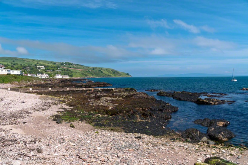
Common to all was the slope down to the North Channel.
SONY DSC
SONY DSC
Rowan Tree directional growth from a constant east wind..
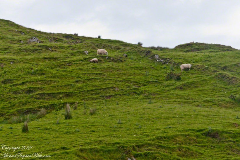
Sheep pasture above the Loughan Cottage ruins.
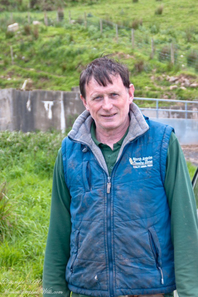
Here is the friendly owner who climbed off his tractor for a chat with Pam while I photographed.
SONY DSC
Here is a slideshow of this post’s images. To visit from WordPress Reader, you need to first click the title of this post to open a new page.
SONY DSC
Copyright 2020 All Rights Reserved Michael Stephen Wills
Torr Road passes nine townlands between Cushendun and Torcorr Townlands, each with a namestone holding the Irish and Anglicized name. Here are a few interesting names.
Click photograph for a larger view. To do this from WordPress Reader, you need to first click the title of this post to open a new page.
“Ballindam” is derived from the Irish “Baile an tdam”, the Anglicization is the sounding out of Irish. Baile is “town” and “an tdam” is on the dam.
Headed uphill, the next is “Ballycleagh”. Bally is the English pronunciation of Baile. I found “cleagh” on Google translate under “Scots Irish” for “Well.” So, this is the town of the well.
Here is a sheep lookout at the aptly named, Alt gabhair townland, Irish for “Goat Section.” Otherwise known as Altagore.
Here is a slideshow of this post’s images. To visit from WordPress Reader, you need to first click the title of this post to open a new page.
Copyright 2020 All Rights Reserved Michael Stephen Wills