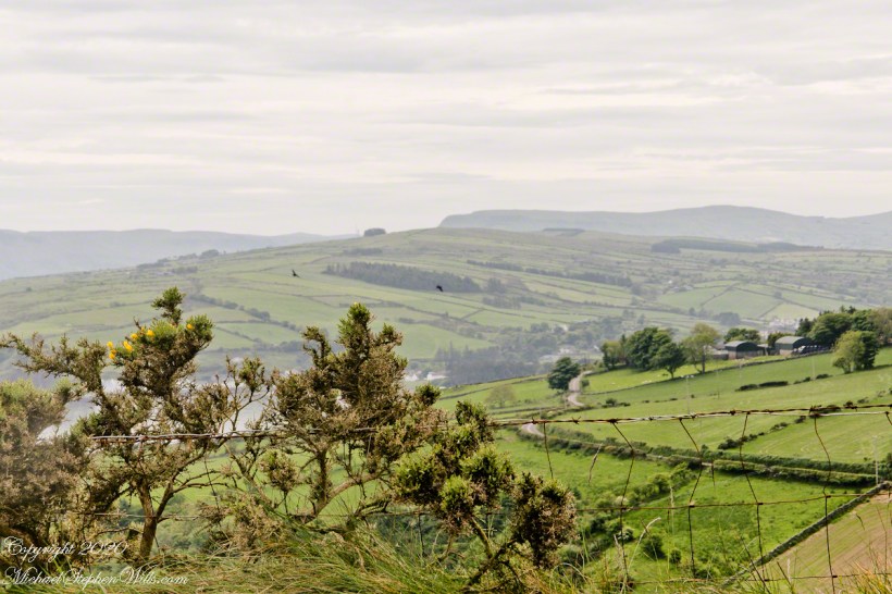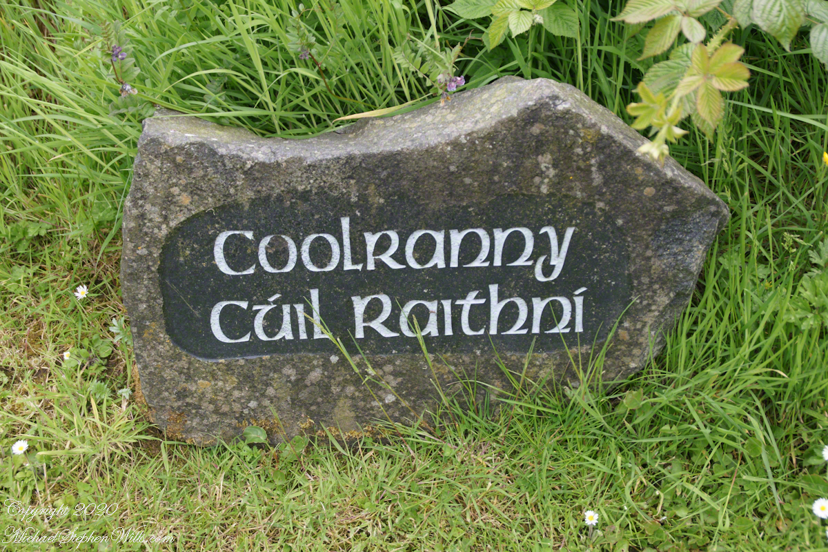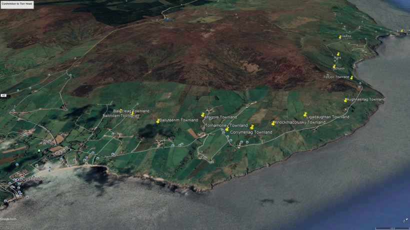
In 3.1 miles Torr Road passes nine townlands between Cushendun and Torcorr Townland, each with a namestone holding the Irish and Anglicized name. We can walk it in an hour at a steady pace, the terrane is sliced up so.
Click photograph for a larger view. To do this from WordPress Reader, you need to first click the title of this post to open a new page.
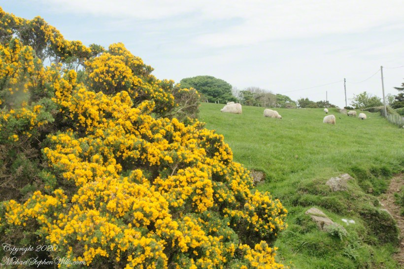
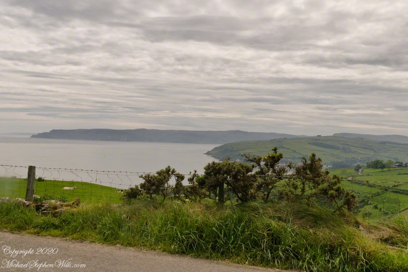
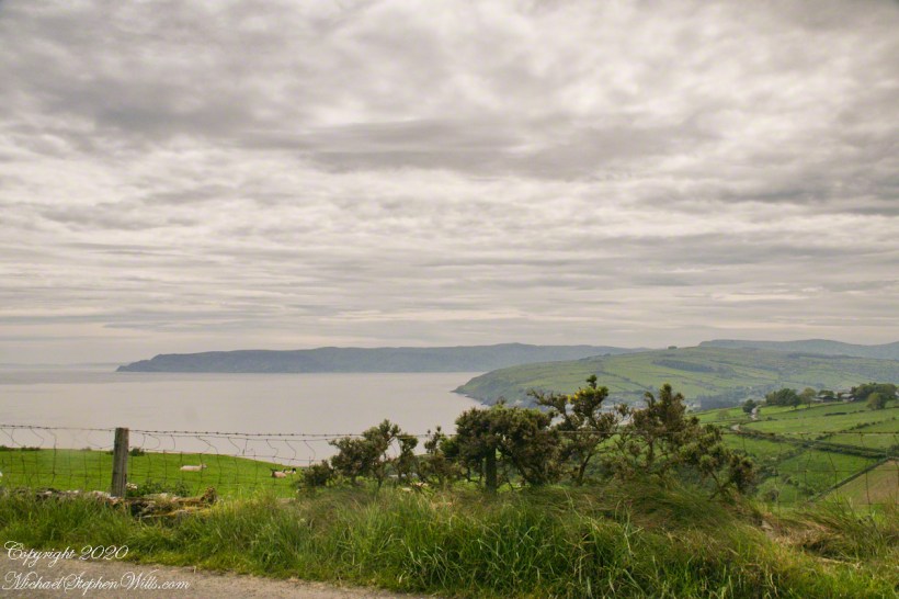
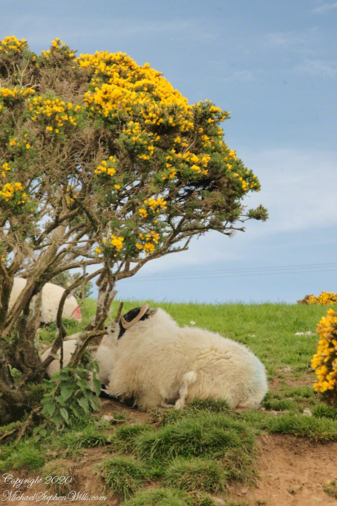
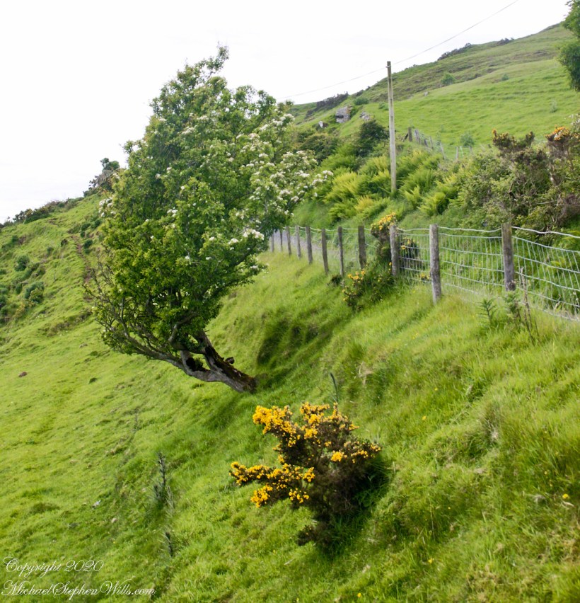
Whin Bush in flower
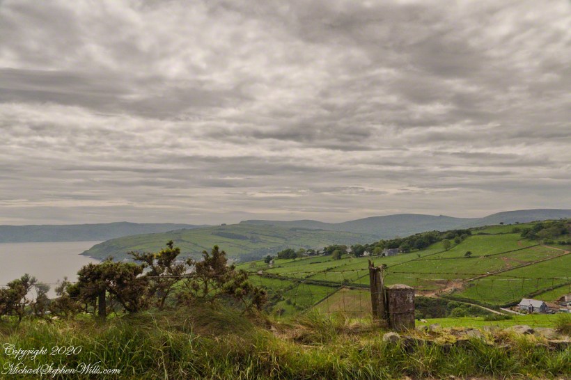
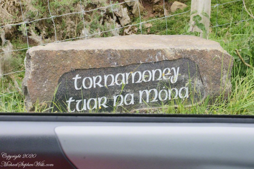
Tornamoney townland is “Cattle Field of the Bogland.” That is the car door, foreground.
SONY DSC
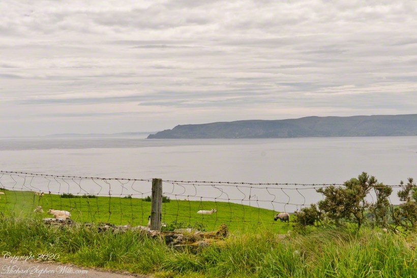
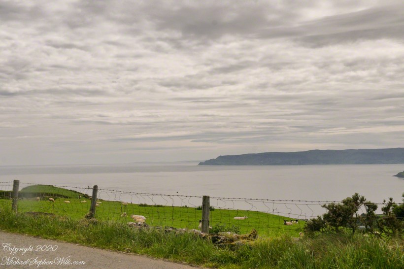
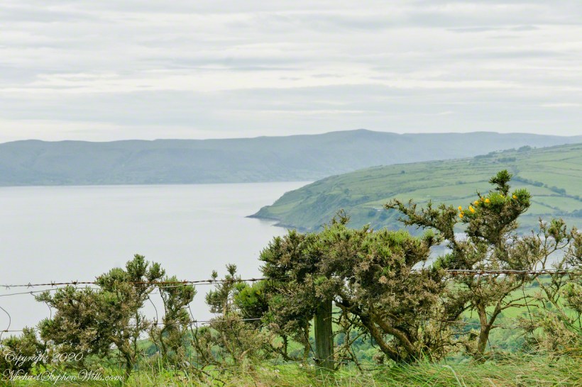
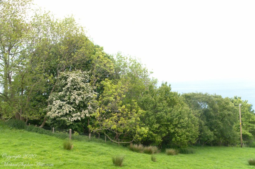
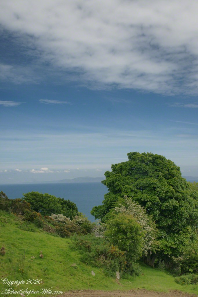
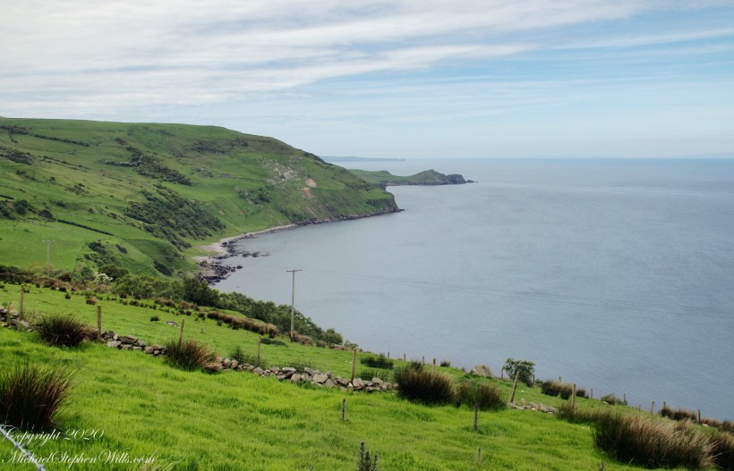
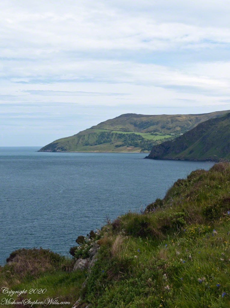
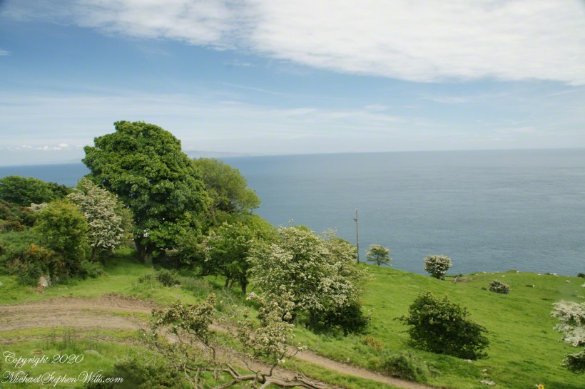
Common to all was the slope down to the North Channel.
SONY DSC 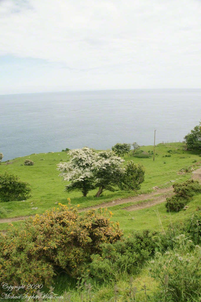
SONY DSC
Rowan Tree directional growth from a constant east wind..
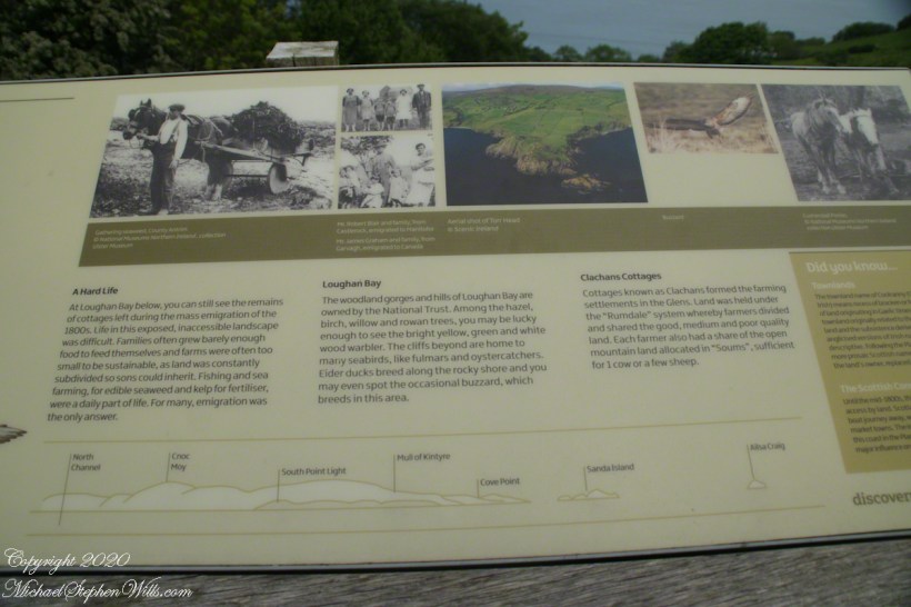
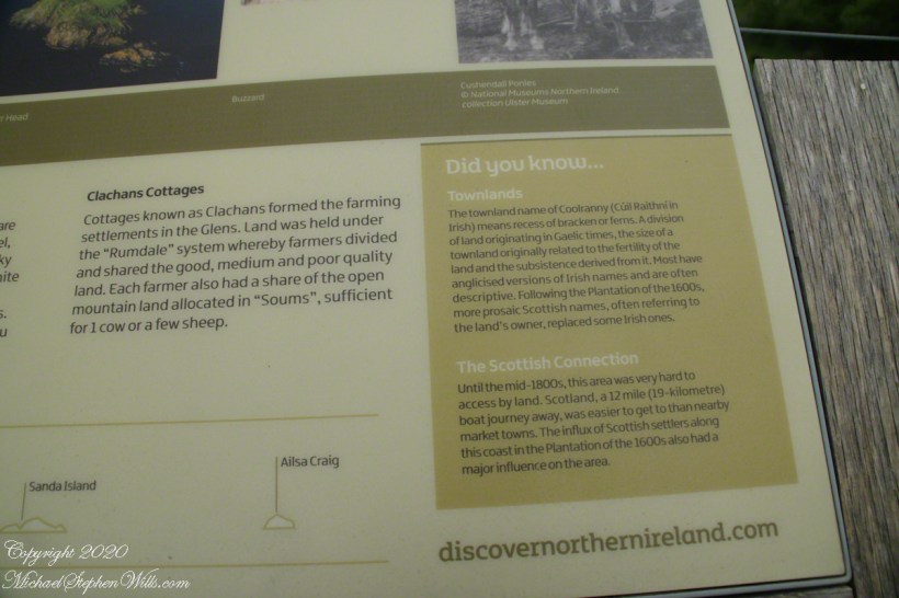
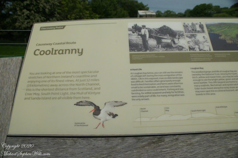
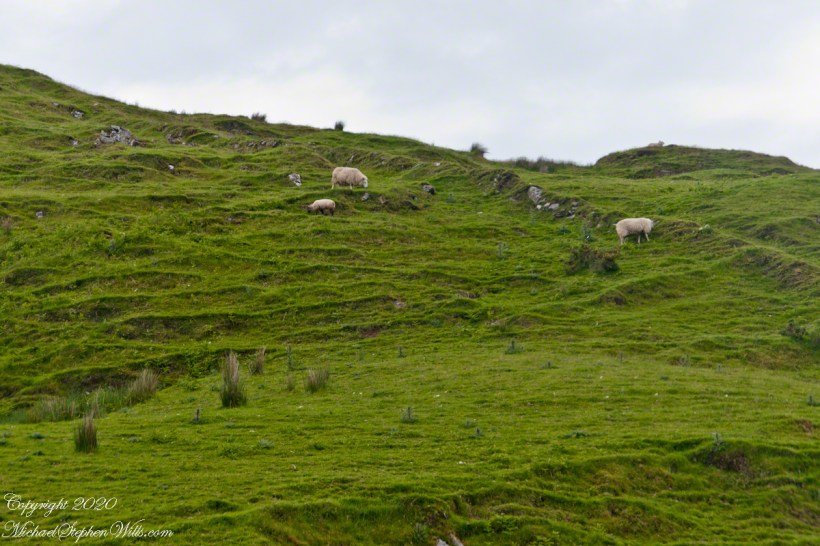
Sheep pasture above the Loughan Cottage ruins.
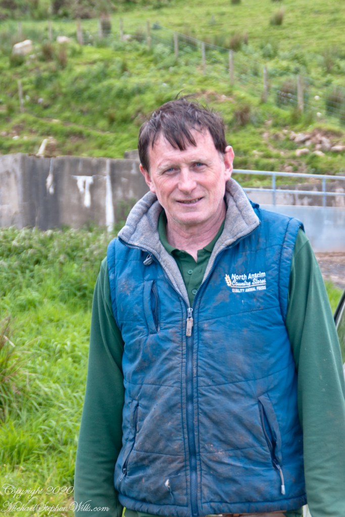
Here is the friendly owner who climbed off his tractor for a chat with Pam while I photographed.
SONY DSC
Here is a slideshow of this post’s images. To visit from WordPress Reader, you need to first click the title of this post to open a new page.
SONY DSC