These are photographs from my Superstition Wilderness postings.
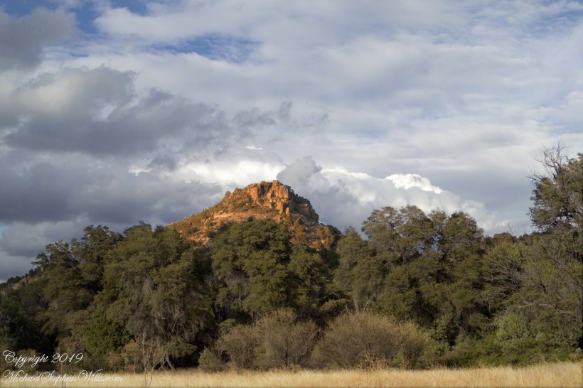
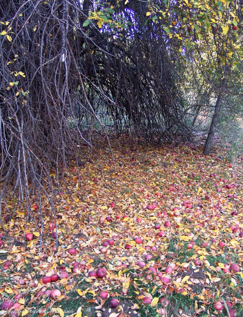
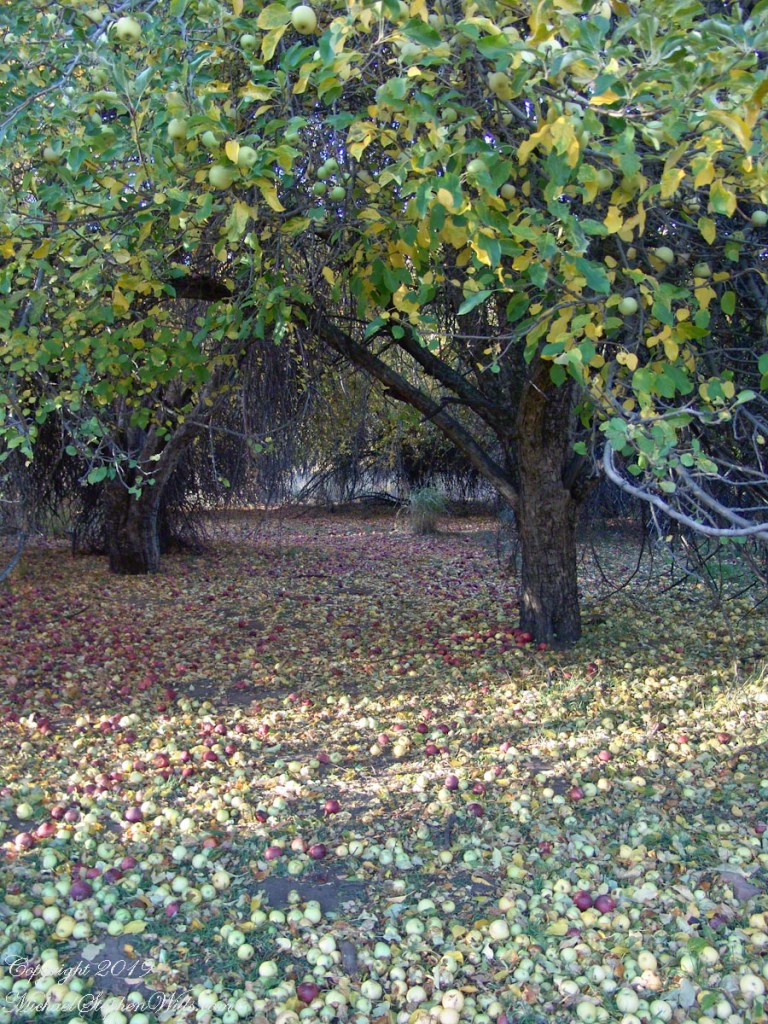
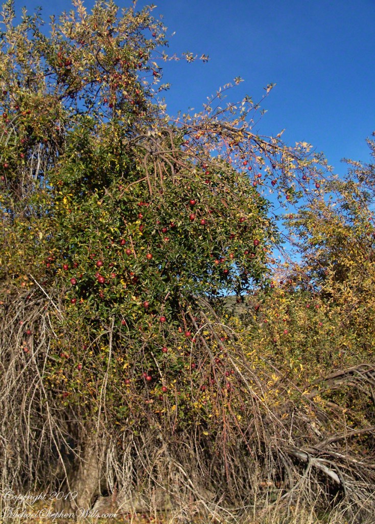
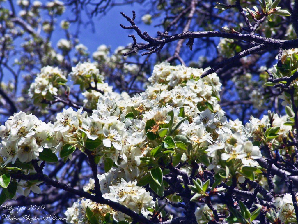
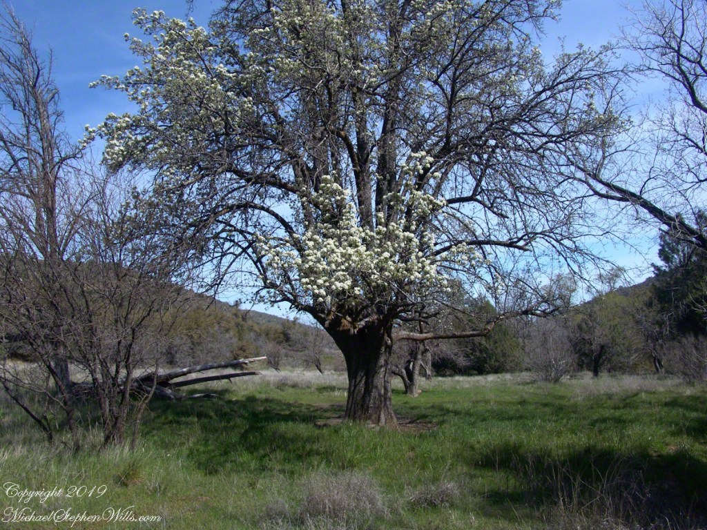
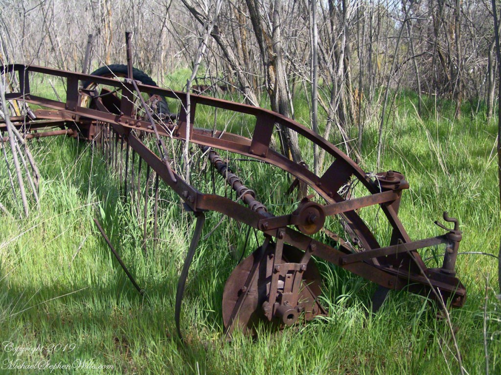
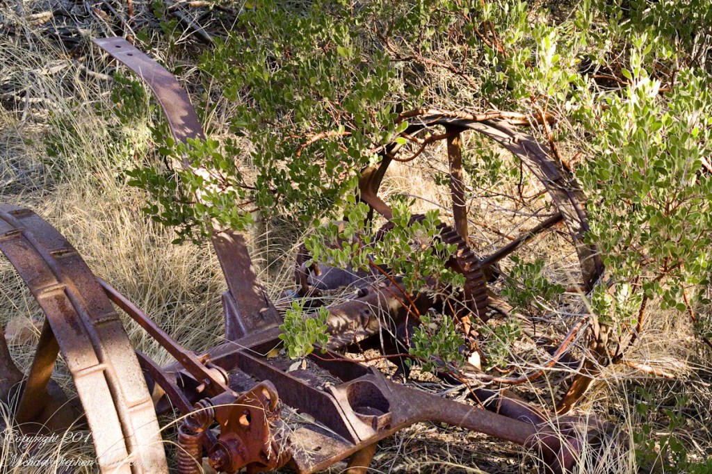
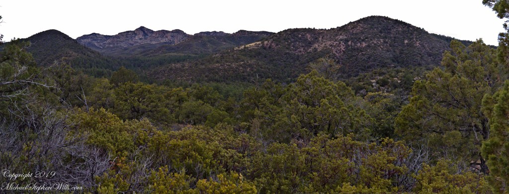
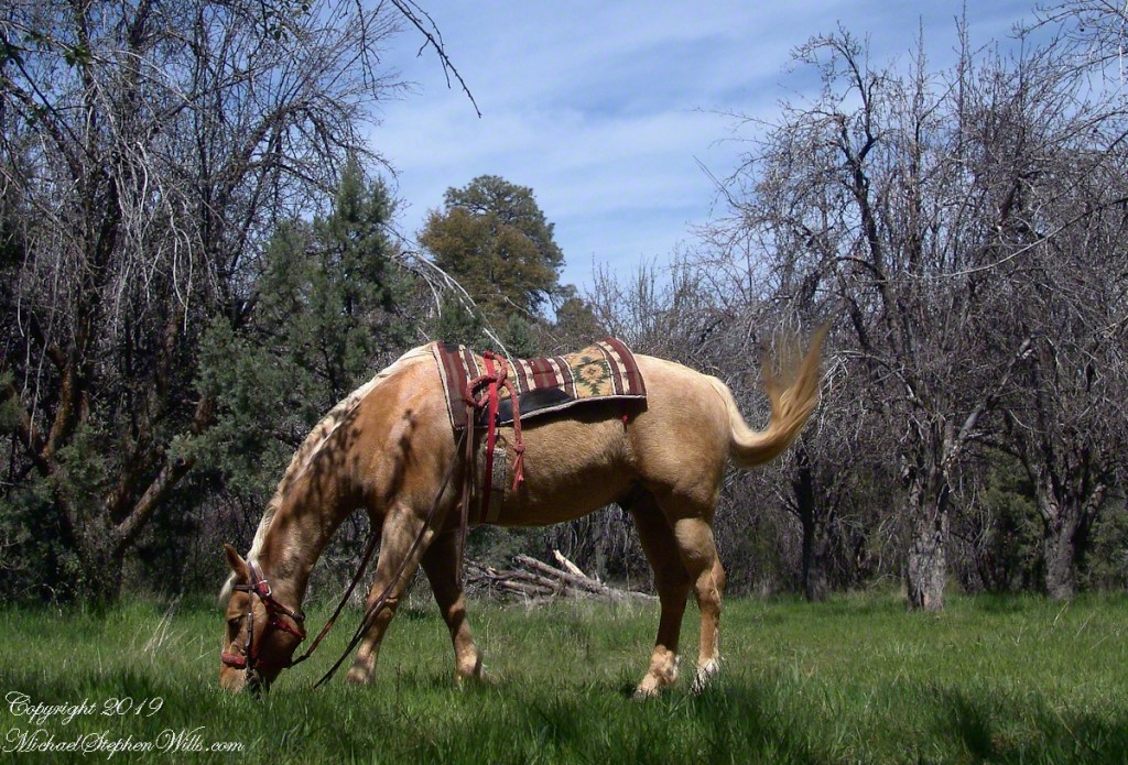
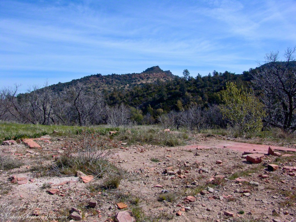
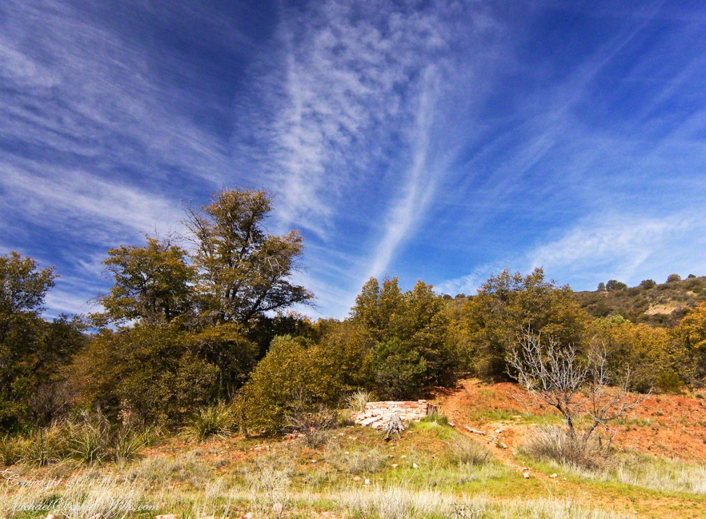
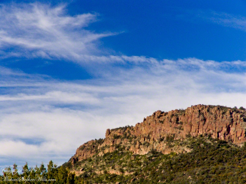
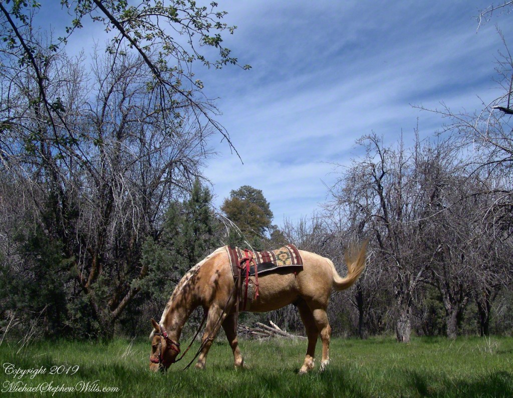
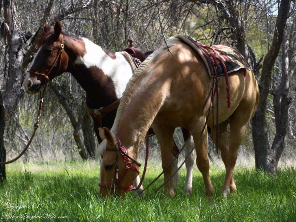
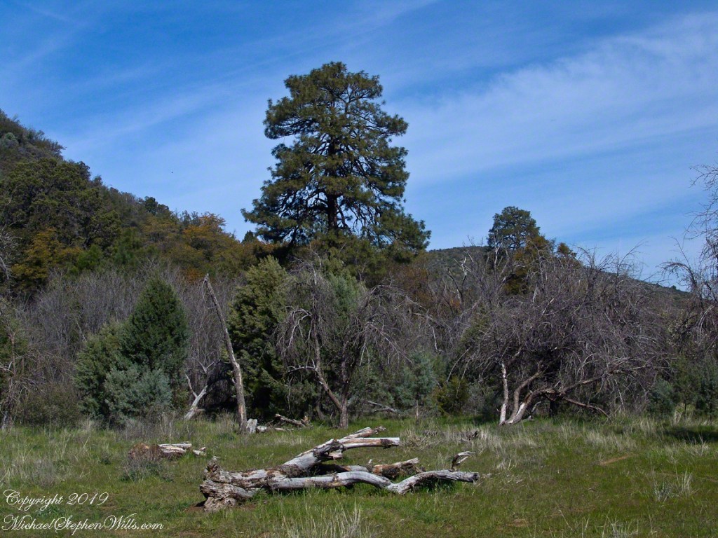
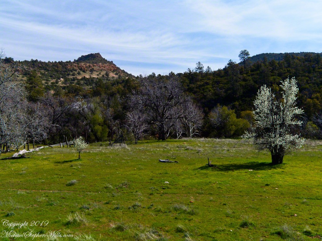
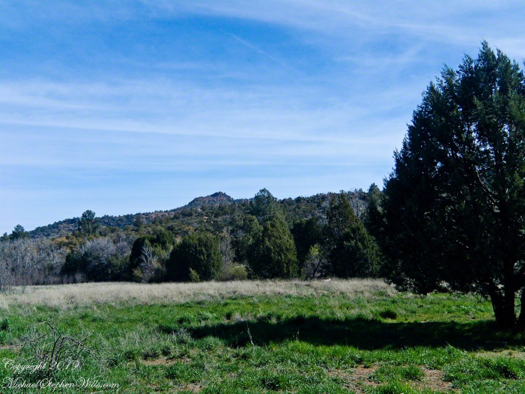
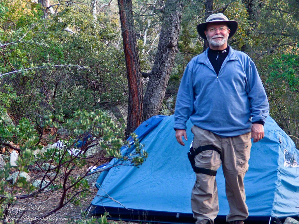
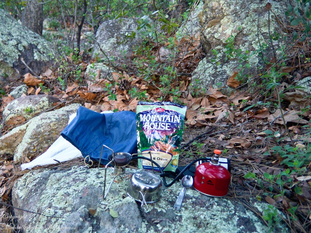
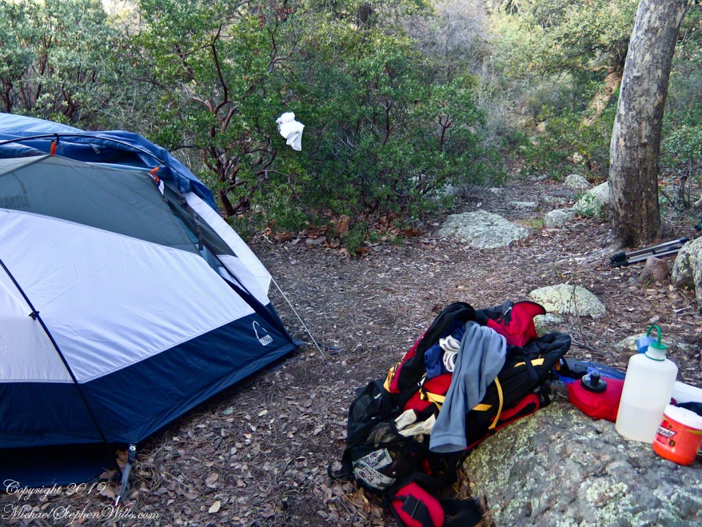
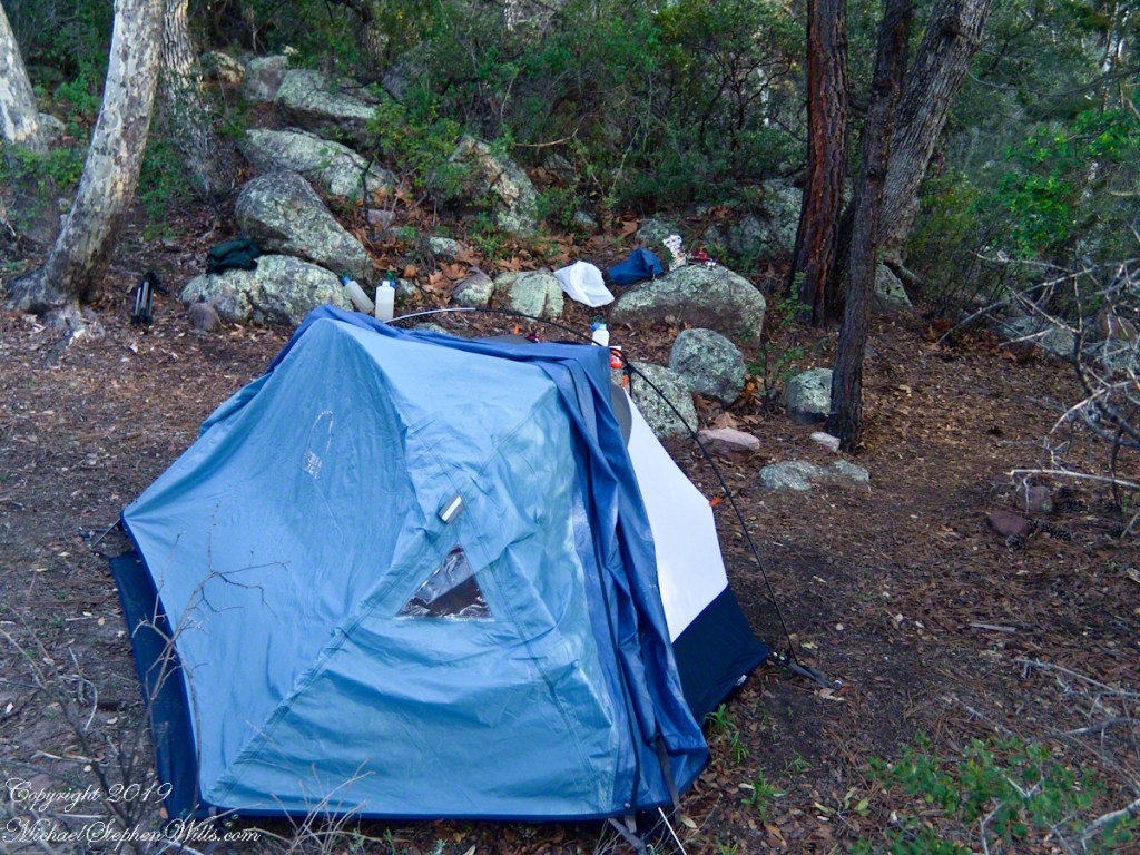
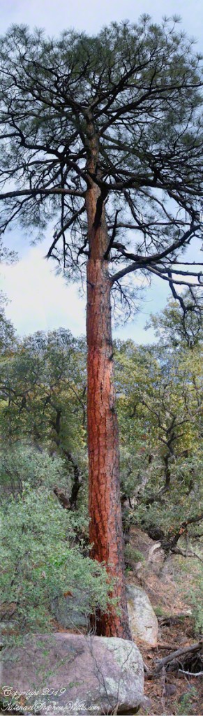
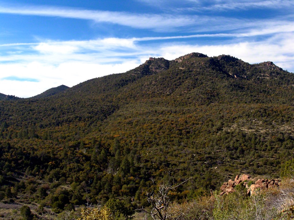
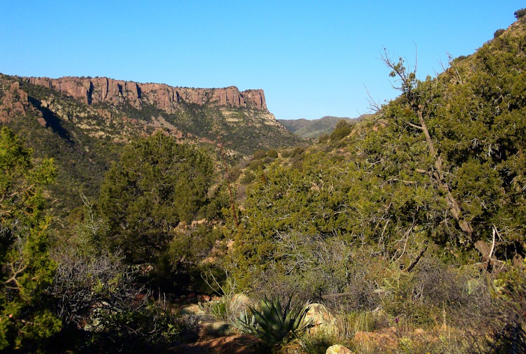
Taken early April, Reavis Ranch, Superstition Wilderness.Remnant of a twentieth century orchard, a dream husbanded using a perennial water source.Disused hayrake, Reavis Ranch, Superstition WildernessSuperstition Wilderness, Reavis Ranch, February, 2006From the slopes of Mound Mountain in the remote eastern Superstition Wilderness. View West-Northwest across the southern Reavis Valley (Reavis Ranch). Pinion Pine and Manzanite in the foreground.“The Searcher’s” horse, Nugget feating on early spring grass among the apple trees of Reavis Ranch.Northeast view across the site and the Reavis Valley.“The Searcher’s” horse, Nugget feating on early spring grass among the apple trees of Reavis Ranch.Colorado on the alert while Nugget grazes, typical of their personalities.Looking from the former house site towards the Arizona Trail running beneath the distant red rock ridge. Not the fence rails on the left and apple trees in bloom.Mike Wills at his Pine Creek Camp, April 2005.the kitchen: can of fuel, a light burner and dehydrated food. A metal cup and a spork.Looking east toward backpack, center, with unpacked supplies and tent. Tripod at rear.I climbed a large, lichen encrusted boulder for this view of the tent and equipment. Looking south.
The following year my sister Diane and I did two expeditions into the Superstitions, March and November 2006.
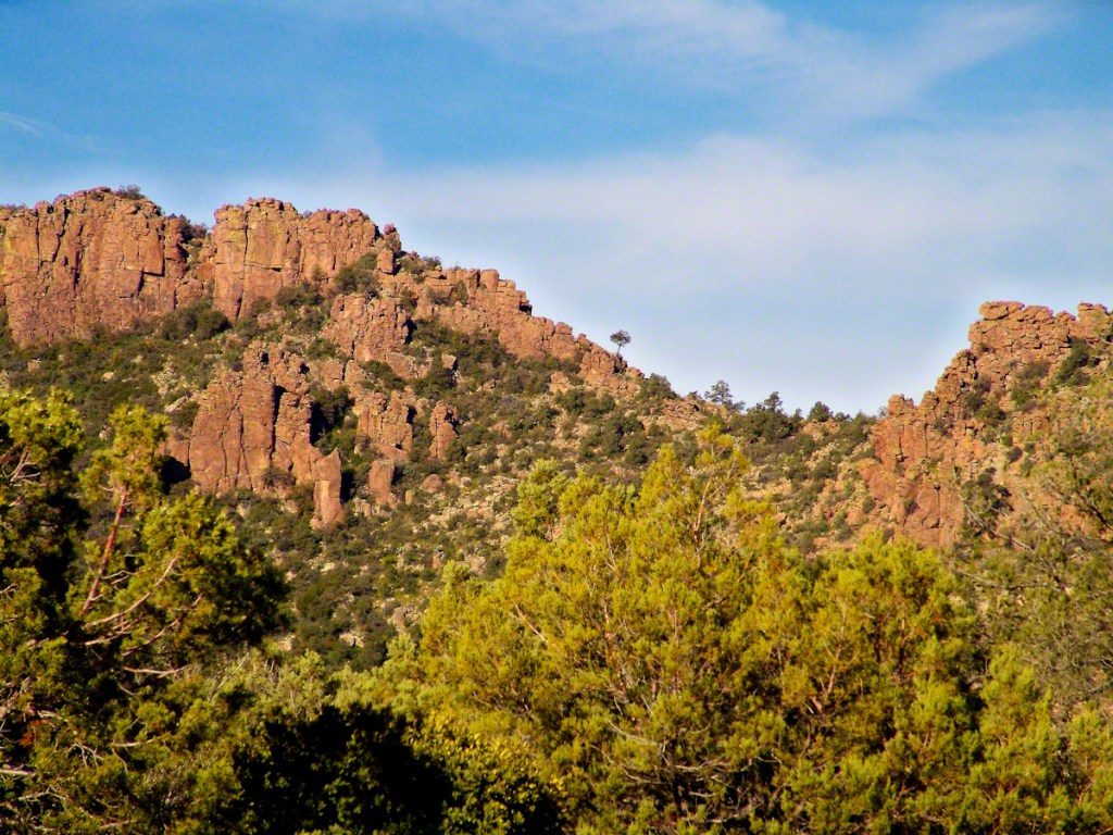
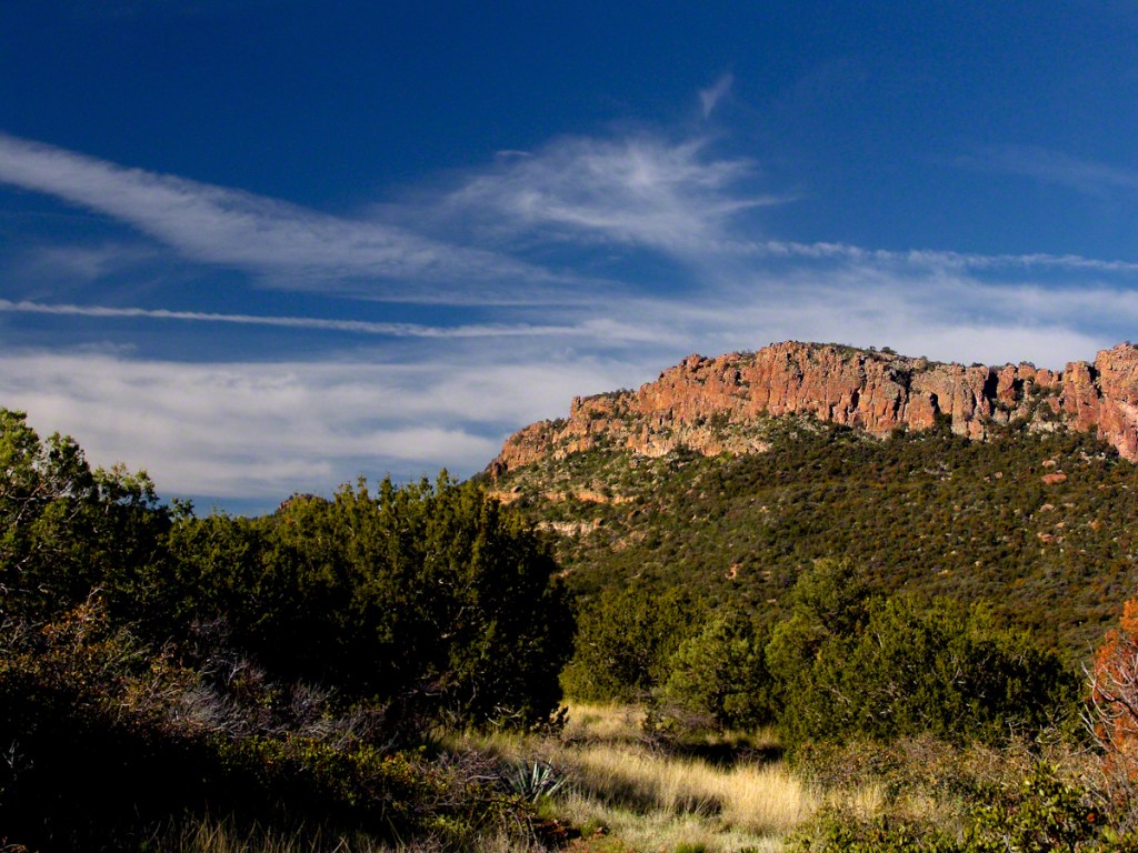
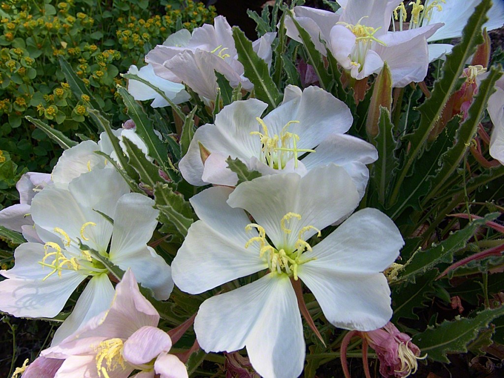
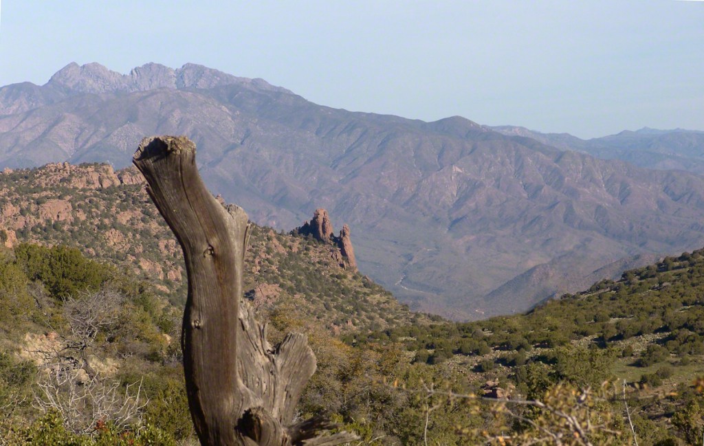
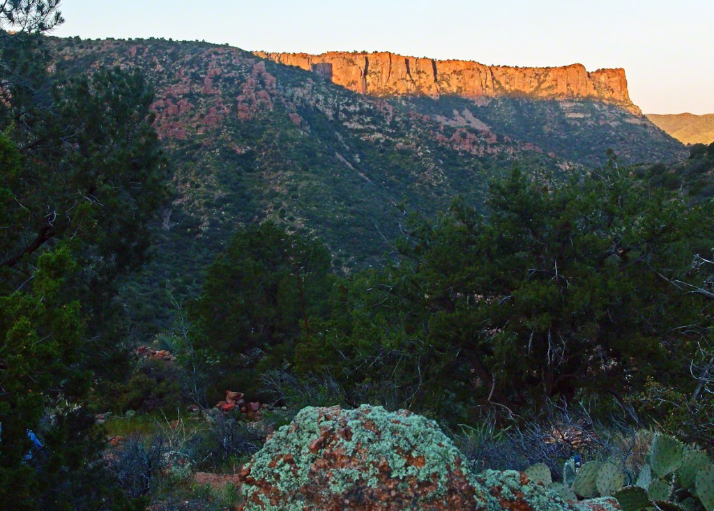
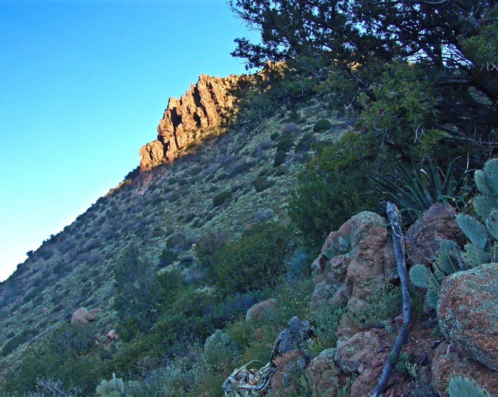
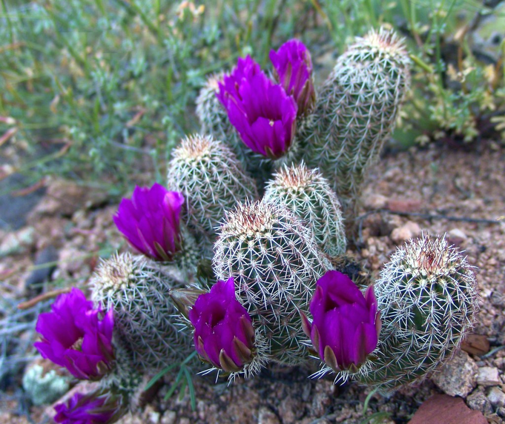
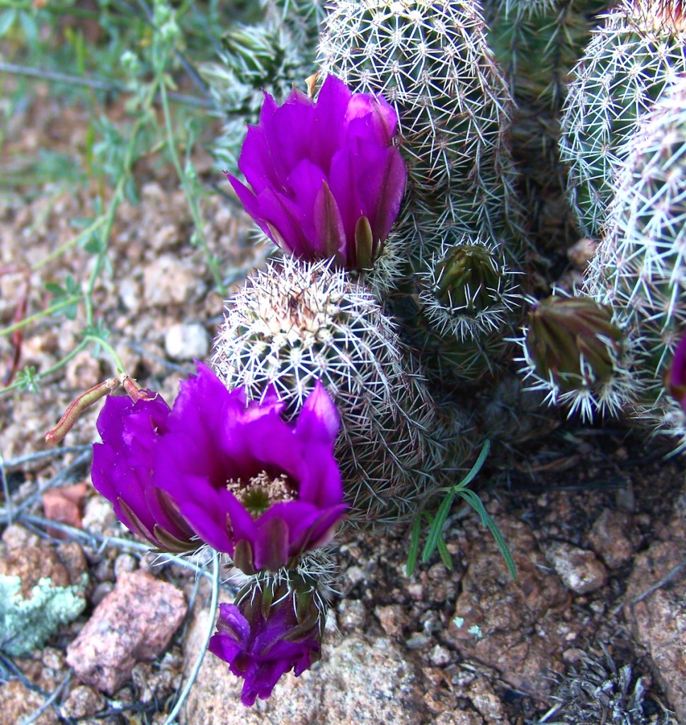
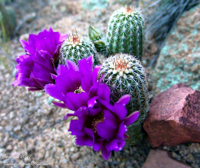
View of a saddle of the ridge to the west over Pine Creek. It is possible to climb over this ridge for a view of Reavis Falls. It is a day-trip bushwack from Pine Creek.View to the southwest on the Arizona Trail above Pine Creek.Pine Creek of the remote eastern Superstition Wilderness hosts this wild Tufted Evening Primrose.From a vantage point overlooking Reavis Gap tot he north. This is the view of Pine Creek, to the south.The Arizona Trail passes this spot in the remote eastern Superstition Wilderness. This is the view of my path up from Nameless Canyon. In the distance is the Four Peaks Wilderness Area.Superstition Wilderness, Arizona
“A This video is from the November backpack, taken from the hill above the Ranch Ruin (Click me for “A Ride to Reavis Ranch”) you will experience the peace of this wilderness valley.
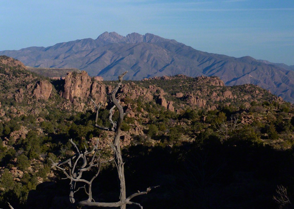
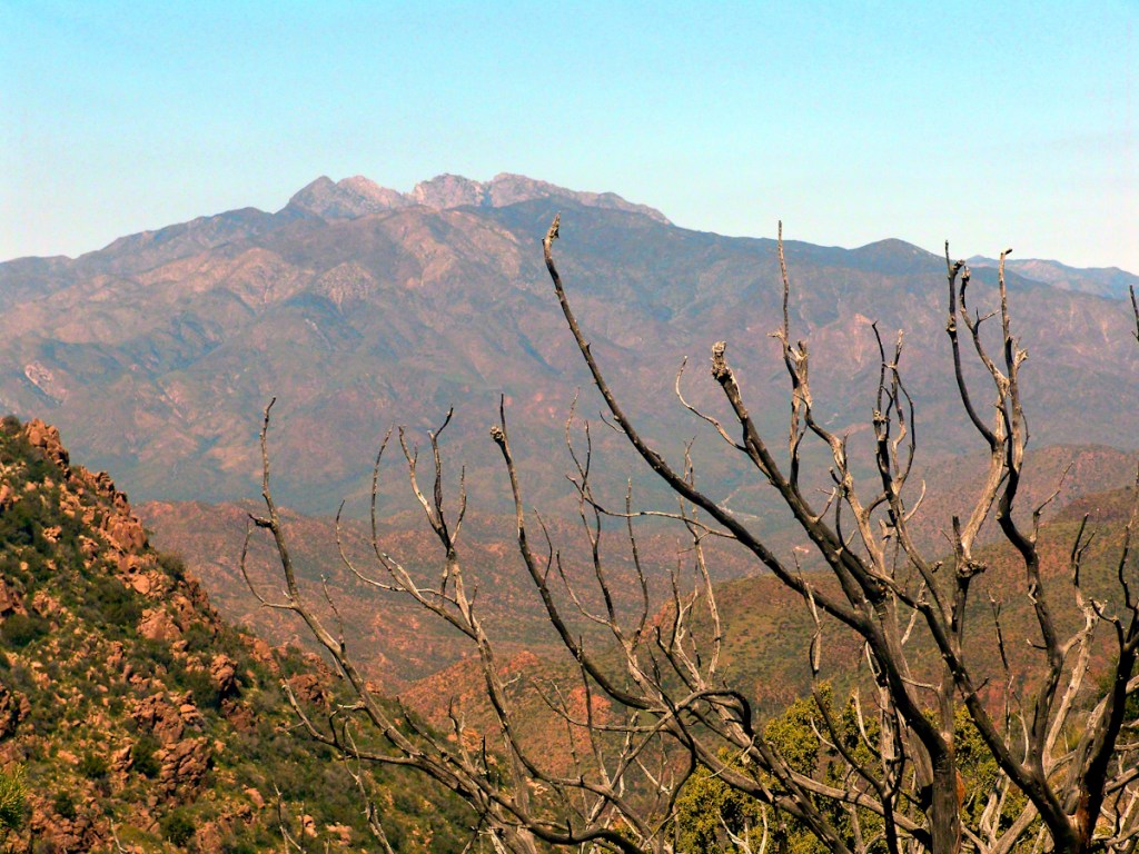
Although cold, the still dry air felt marvelous and even distant objects appeared absolutely clear. In this environment the spread of sun with its rising is a ritual. Here’s a photograph of the canyon walls a few minutes before the sun reached them.. Superstition Wilderness, ArizonaView from the western slope of Two Bar Mountain looking west toward Reavis Ranch Trail. Reavis Falls is in canyon on the far side of this ridge.Although cold, the still dry air felt marvelous and even distant objects appeared absolutely clear. In this environment the spread of sun with its rising is a ritual. Here’s a photograph of the canyon walls a few minutes after the sun reached them.. Superstition Wilderness, ArizonaSuperstition Wilderness, ArizonaView from the western slope of Two Bar Mountain looking west toward Reavis Ranch Trail. Castle Dome is behind the ridge on right.Fully mature agave surrounded by years of dried leaves against ddawn light in Pine Creen Canyon, Superstition Wilderness, Arizona.
The following year my sister Diane and I did two expeditions into the Superstitions, March and November 2006.
“A This video is from the November backpack, taken from the hill above the Ranch Ruin (Click me for “A Ride to Reavis Ranch”) you will experience the peace of this wilderness valley.
About that mysterious stone structure featured in this video. Over the years I have pieced together its purpose. When the ranch was active, a canal followed the contours from upper Reavis Creek to fill a pond down the hill from the house — I was shown the canal and walked it 2005. The structure was razed in the 1990’s, all that remains is the concrete foundation slab and, when I was there 2005 – 2008, scattered remains of the tile flooring. I am sure the pedestal above the house supported a water tank for a gravity water feed (“indoor plumbing”). Here is a link to more info about that site. The article does not discuss the water system.
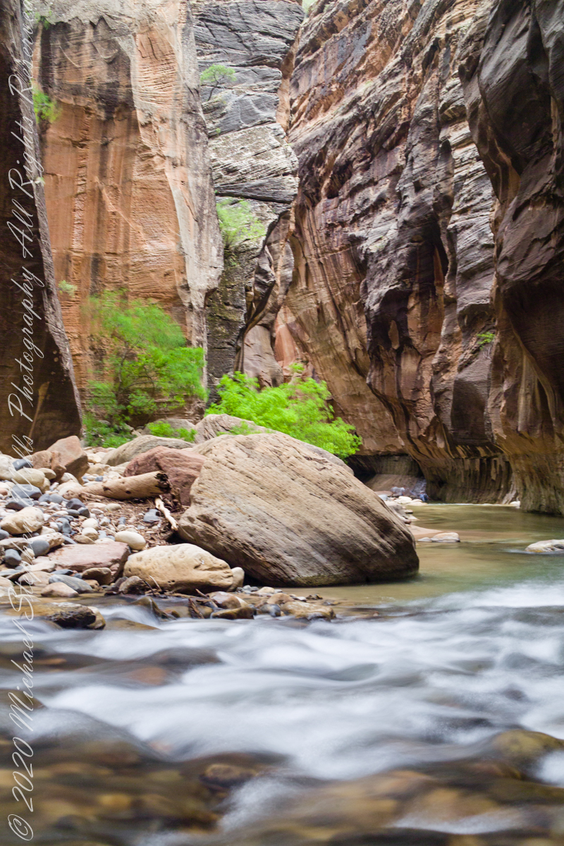
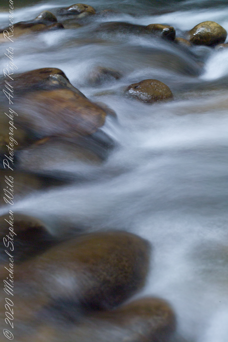
In this series of three exposures from a tripod mounted Kodak DSC Pro SLR/c and Canon EF 50 mm f/1.4 USM lens, all were ISO 250, at f/8. The difference was the exposure time. In is the shortest exposure, 1.6 second, the human figures are blurred, though to a lesser extent than the second image, released earlier.
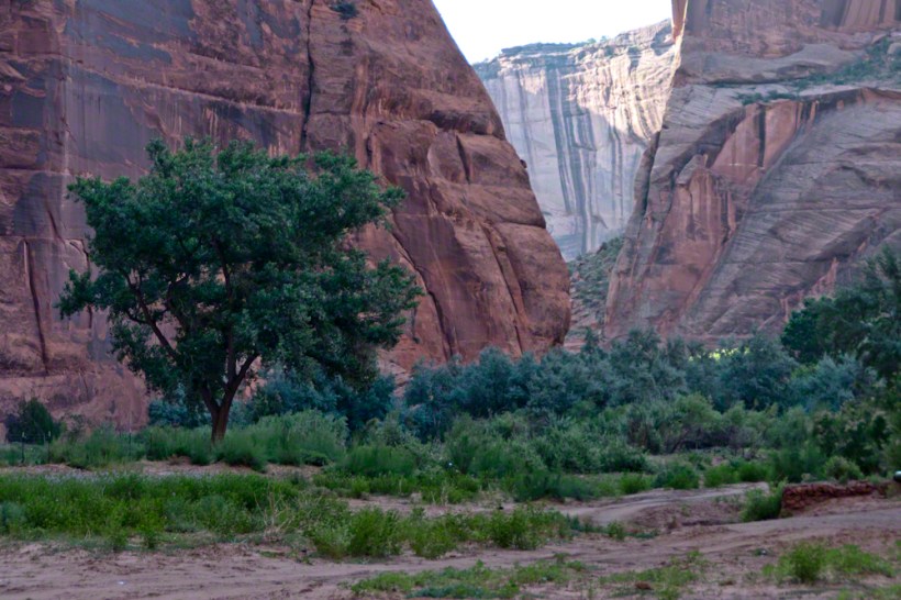
This is the last image of our trip to Zion National Park.
Copyright 2021 Michael Stephen Wills All Rights Reserved
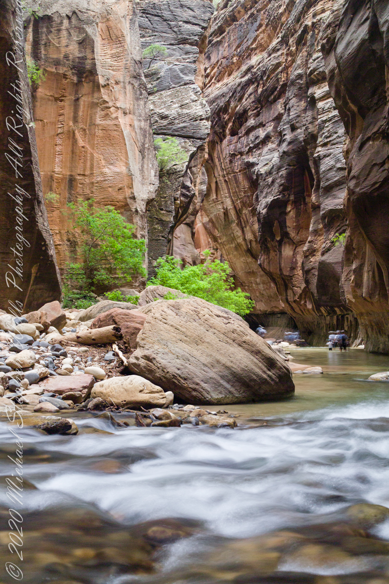
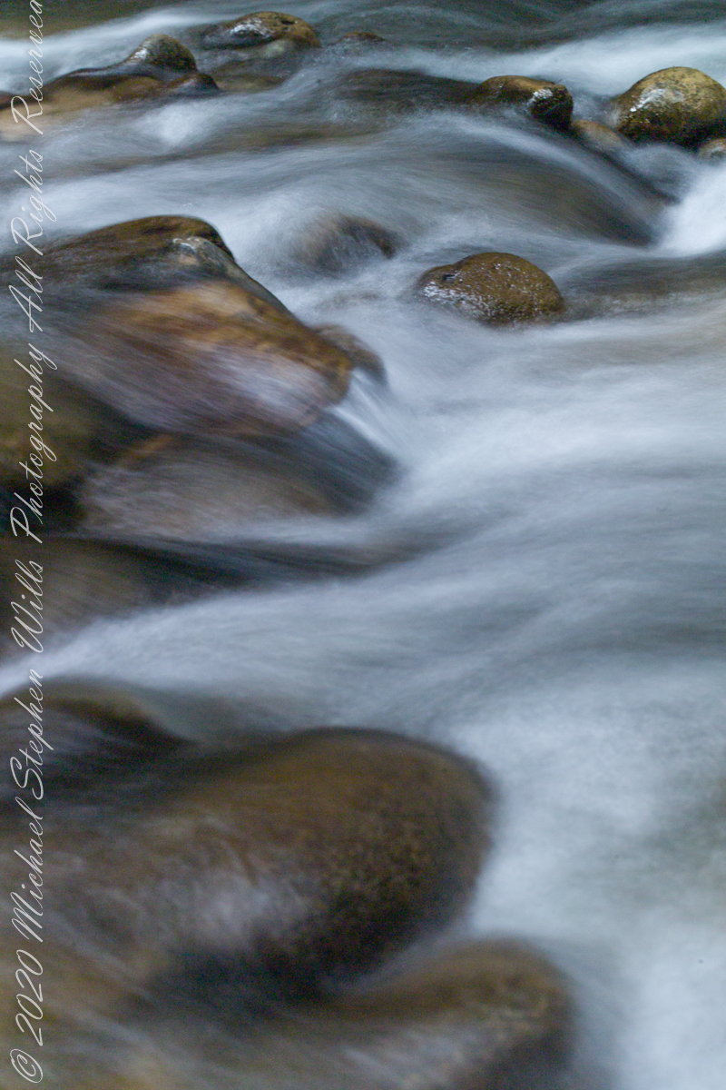
The image is from a tripod mounted Kodak DSC Pro SLR/c and Canon EF 50 mm f/1.4 USM lens, ISO 250, exposure 3.5 sec at f/8. The flowing water in forground has an appealing blur, fellow waders, in the distance under beeteling cliffs, are blurred and unrecognizable.
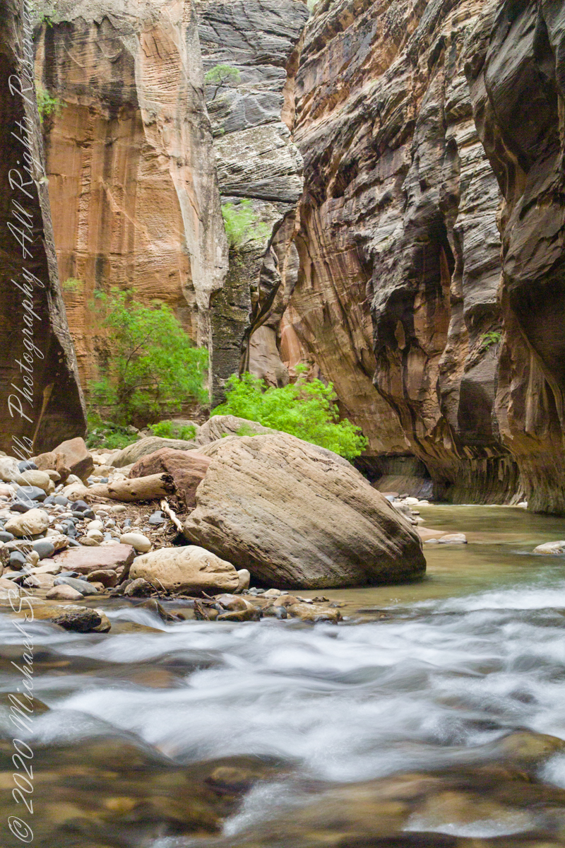
Here the canyon turns sharply to the right.
Copyright 2021 Michael Stephen Wills All Rights Reserved
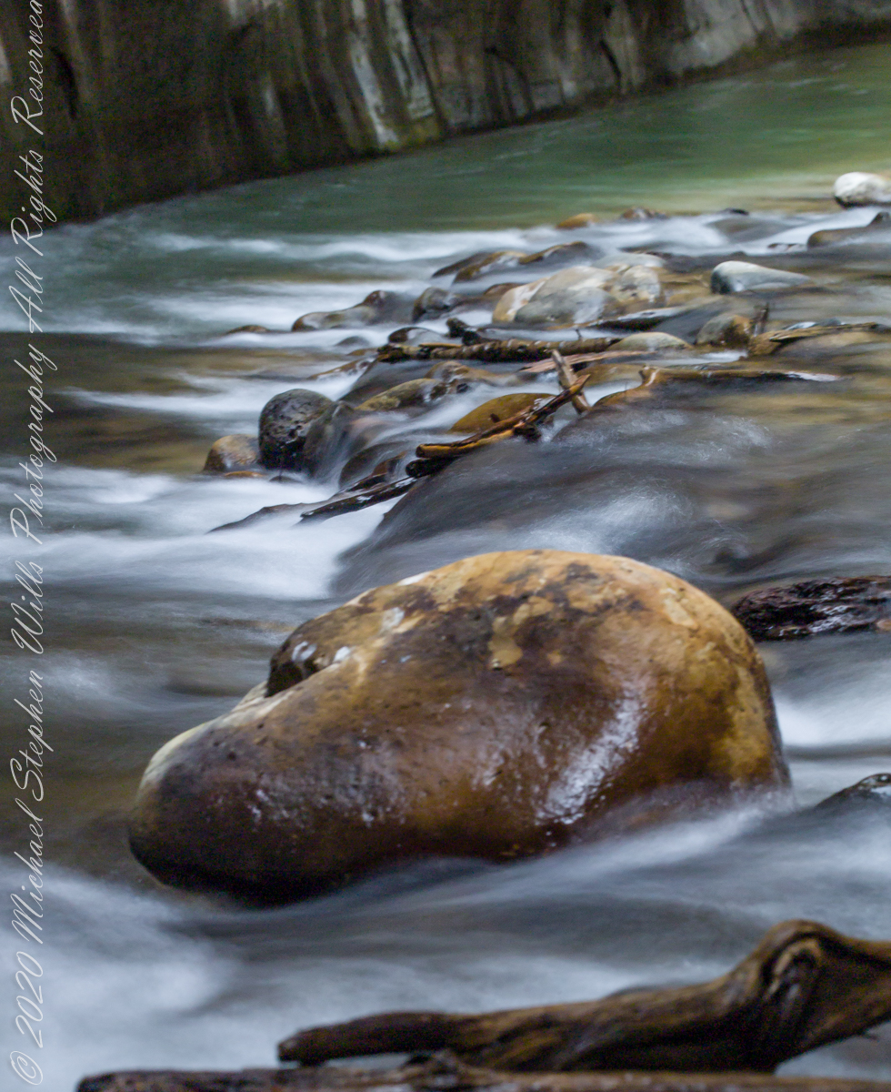
The first of three long exposures of the Virgin River from the Narrows on the way back to Pam. Earlier on Pam headed back, concerned about thunderstorms and the possibility of flash floods. I hung on, for the perfect photo. I came pretty close here, with the flowing water coming aound this outcrop of picturesque boulders, canyon turning sharply right up ahead.. The Narrows, Zion National Park, Springdale, Utah
Copyright 2021 Michael Stephen Wills All Rights Reserved
In my post Canyon of Music, Wind, Light I shared a different photograph of this beetle crawling on sandstone, naming it as a “dung beetle”. I had assumed it was one from once having seen a beetle in an Arizona desert pushing a ball of dung around. This morning, to confirm my assumption, I searched for images of “Arizona Dung Beetle” and was dismayed to find this beetle shares no characteristics with the photographs. Absent smoking gun evidence, sadly lacking in this photograph, I have to admit my “dung beetle” attribution is in error.
Supporting the beetle, the luminous surface of the red sandstone named “de Chelly,” sunlight reflects from durable remnants of the ancestral Rocky Mountains wore to these bits of rock, piled to mountainous dunes by the winds of tens of thousands years, polished to smoothness each against the others.
Mysterious abrasion and grooves in a de Chelly sandstone cliff, Canyon de Chelly.
The above photograph is a detail from the brightly lit cliff of the following photograph. The desert varnish and underlying rock was weathered over thousands of years, the sand grains falling to the canyon floor.
The soil of the canyon is composed of these bits of the ancestral Rocky Mountains. What appears to be a white road in the above photograph is not man-made, it is the dried bed of a stream. When a waterway is dry like this, only flowing with rains, it is called a wash. When water fills the wash of the Canyon Del Muerto, the polished sand granules become a dangerous morass, sucking down horses, people, anything unlucky enough to step into it. Every movement, struggling for freedom, pulls the victim deeper down until the wet sand closes over the head and suffocation and death ensues.
Stairs cut into the sandstone cliff of Canyon de Chelly
The waters Canyon De Chelly National Monument naturally form a vast Y into the Defiance Plateau, naturally because two major streams merge into one canyon a few miles above Chinle. On both our guided trips, heading east from Chinle there is a branch. On the right De Chelly canyon continues. On the left is Canyon Del Muerto. The photos in this post are all from “The Canyon of the Dead”, what the name means translated into English.
No, it is not named this because of the quicksand. Conditions for quicksand are present throughout canyons of the southwest. It is history of human occupation for which this canyon was named. I will cover it in a future posting. For now, I will say the above views are from the spot featured in “Family Trek.”
My first visit, in 2003, while my son Sean climbed the rocks with our guide, I was left to document the wondrous surroundings. The above shallow cave is reached by that stairway carved into the precipitous ledge. The access to the cave is via those naturally occurring ridges of the cross bedded sandstone. It is another example of De Chelly sandstone formed from the windblown edge of a monstrous ancient sand dune.
A solid block of De Chelly sandstone formed from the central bulk of a sand dune.
Here is another example of rock formed from the solid body of the sand dune, that unbroken and un-striated cliff. Below is the cross-bedded, windblown sand.
Autumn lights up the floor of Canyon De Chelly, the foliage rivals the cliffs for wonder at this time.
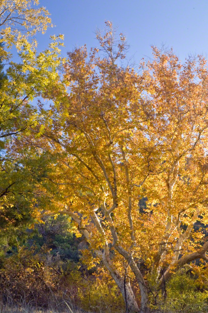
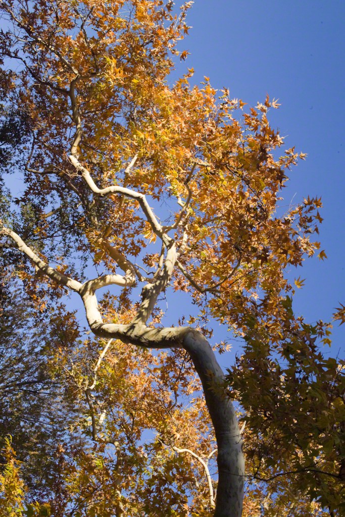
As we proceeded generally east from the climbing spot of “Family Trek”, driving by the golden cottonwood foliage I asked the guide to stop for these photographs.
Canyon walls
Soon the cliffs hid the sun.
Notice the modern water distribution system (pipe) at the foot of cliff on right. These vast tracks of shadow adjacent to bright sunlight are a fact of life for canyon dwellers, a source of joy and wonder.
The canyon here is rather like the Narrows of Zion, without the water.
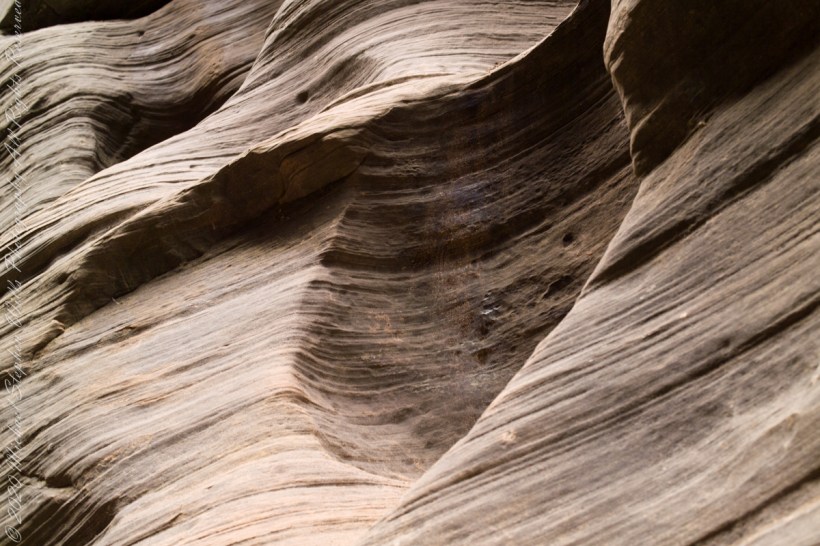
Mysterious alcoves through cross-bedded Navajo Sandstone, 15 feet, or more, above the streambed. I use mysterious in the sense I wished the formations were mysterious, standing there with nowhere to climb, witnessing the effects of floods that high above. The location is The Narrows just above Orderville Canyon junction, Zion National Park, Springdale, Utah
Copyright 2021 Michael Stephen Wills All Rights Reserved
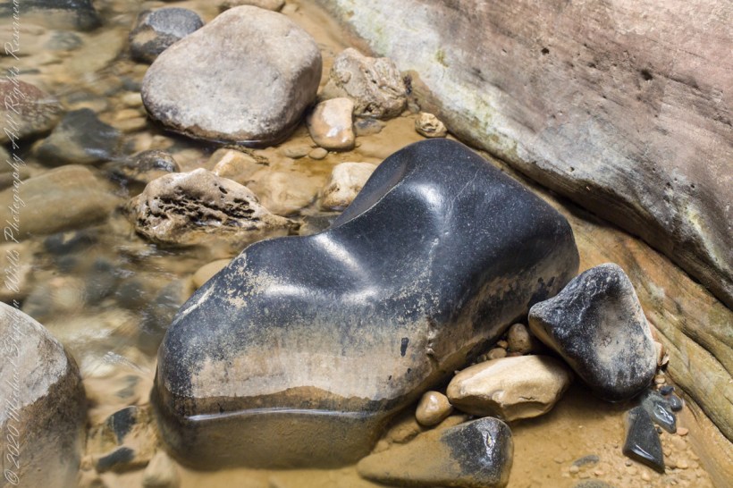
This polished basalt, the product of volcanic eruptions and eons-long weathering, is common on the Virgin River bed. Zion National Park, of The Narrows just above Orderville Canyon junction.
Copyright 2021 Michael Stephen Wills All Rights Reserved
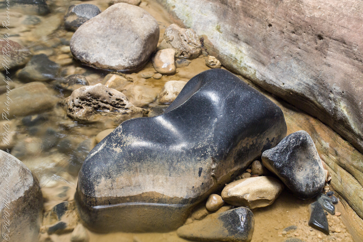
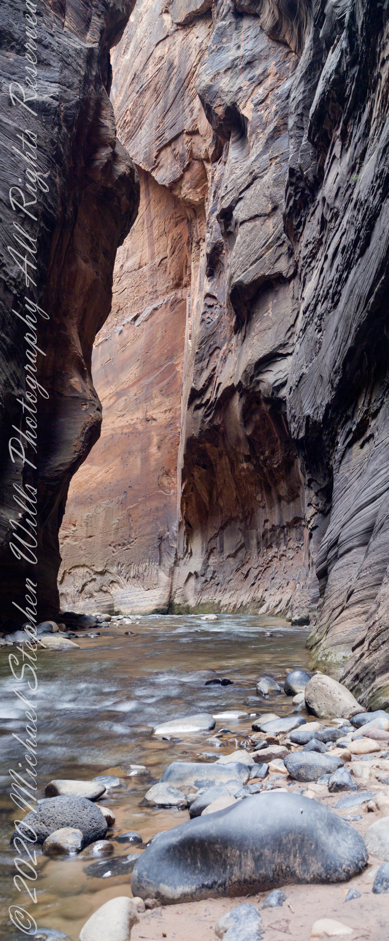
I combined two 50 mm exposures for this view of an interesting rock and beetling canyon walls. Upstream from here it is a day’s walk to reach ground safe from flash floods, downstream at least one hour. Narrows of Zion National Park, Utah
Copyright 2021 Michael Stephen Wills All Rights Reserved