Standing around, gawking made respectable holding a camera.
Copyright 2021 Michael Stephen Wills All Rights Reserved

Standing around, gawking made respectable holding a camera.
Copyright 2021 Michael Stephen Wills All Rights Reserved

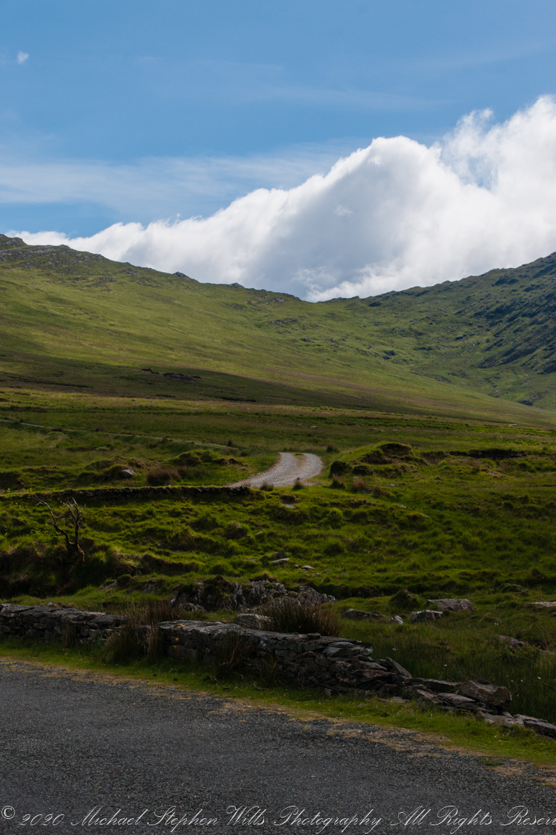
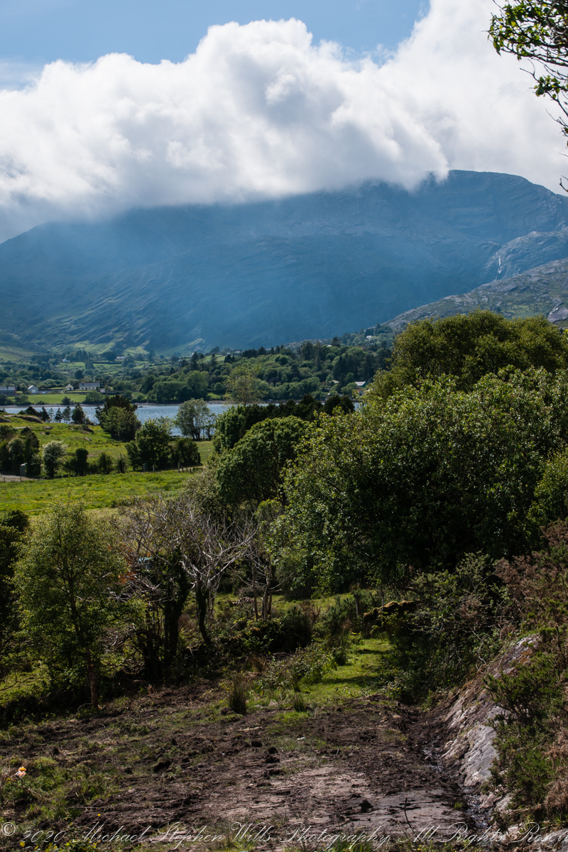
Steepening terrain, switchbacks come into view as we proceed on Healy Pass.
Copyright 2021 Michael Stephen Wills All Rights Reserved
Around the Road
Near
and far
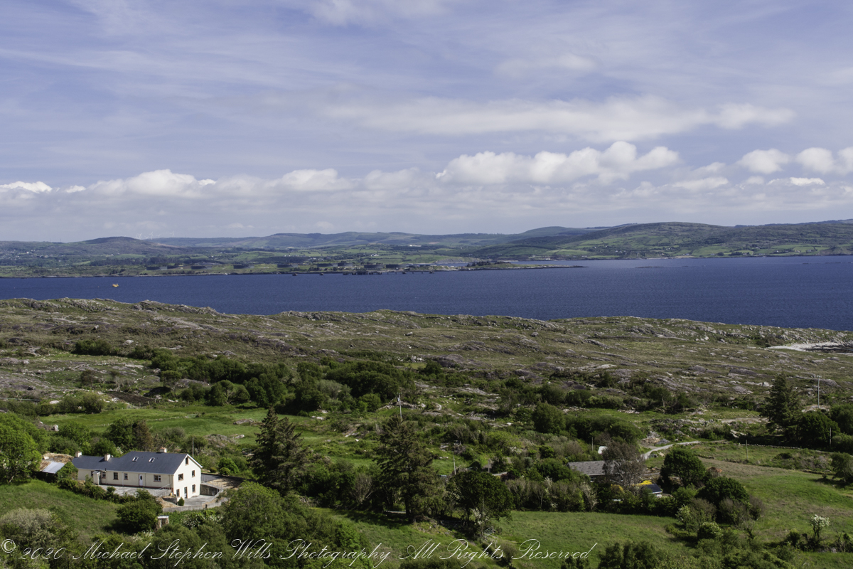
Inchintaglin is the townland name, the land is two mountains, the near ending with the above ridge, in the northeast. When the road breaches below the ridge the land beyond opens up.
Copyright 2021 Michael Stephen Wills All Rights Reserved
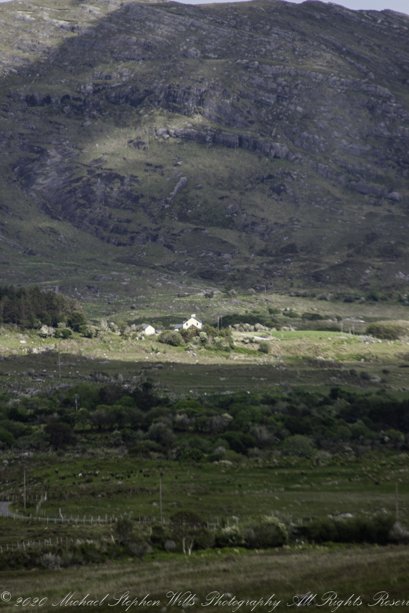
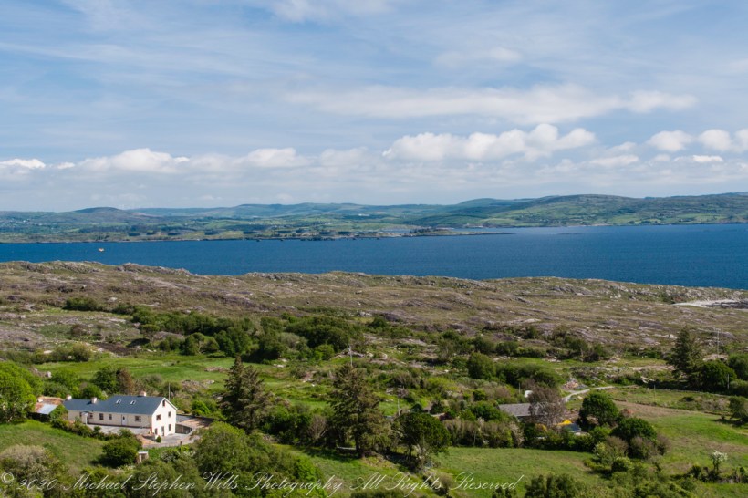
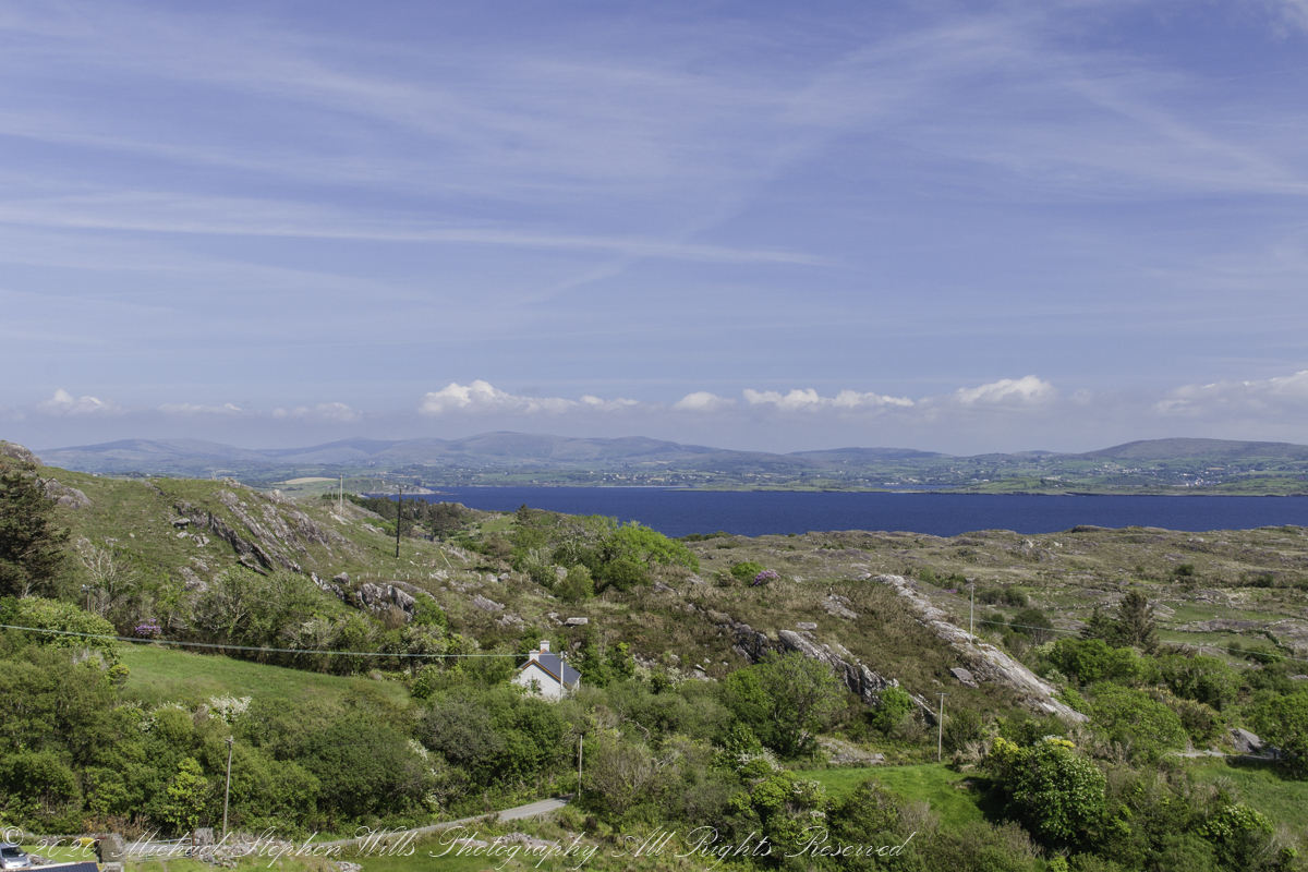
Views of four townlands
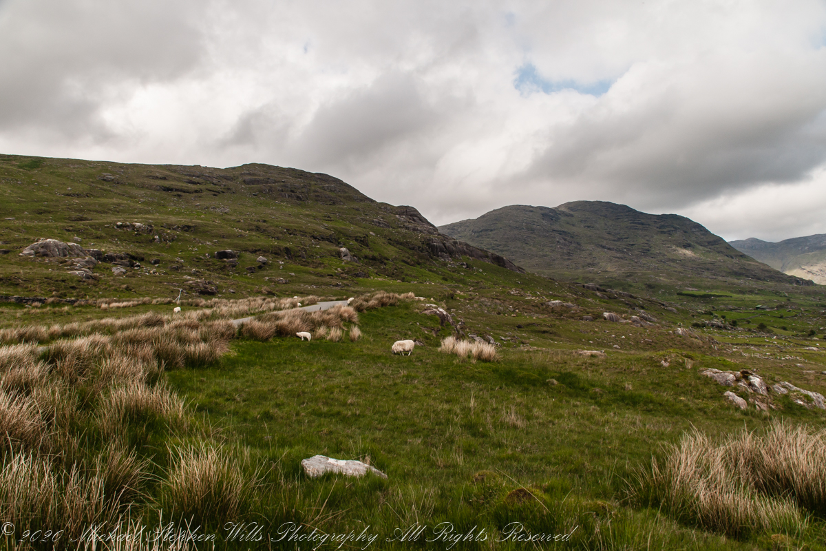
Healy Pass, R574, ascends along lower slopes of Adrigole Mountain (AKA Hunger Hill). We passed several roads descending to this valley, providing access to farms. Four townlands are in view, the Irish language name in parenthesis: Kilcaskan (Cill Chascann), Dromgarvan (Drom Garbhain), Canshanavoe (Ceann Seanbhoith), and Inchintaglin (Inse an tSeaglainn), where I stand.

O’Sullivan is the most common surname of Beara Peninsula. Here is a biography of one O’Sullivan born Inchintaglin townland (you’ll need to read Irish or translate the page): O’SÚILLEABHÁIN, Francis (1889–1956).

Copyright 2021 Michael Stephen Wills All Rights Reserved
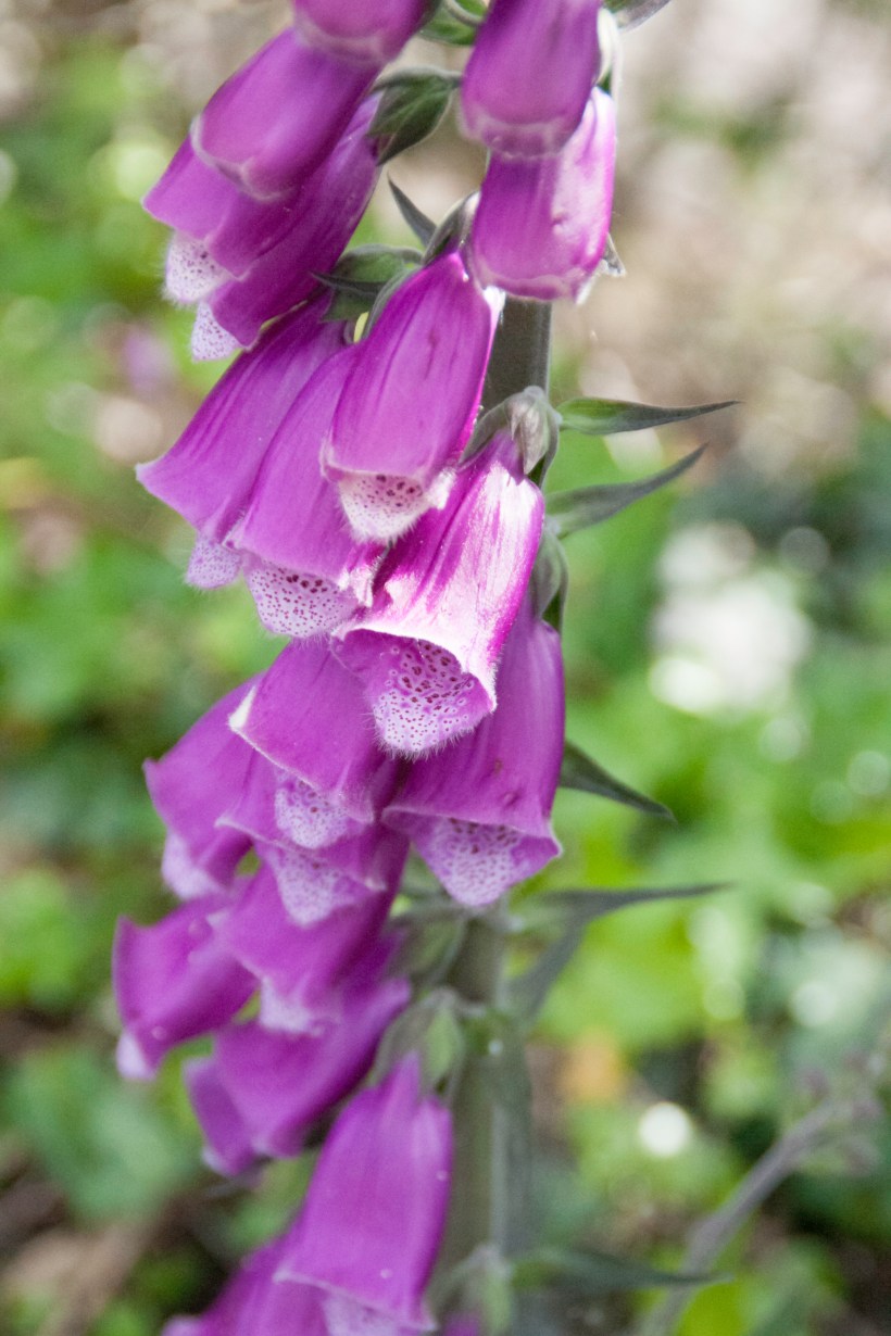
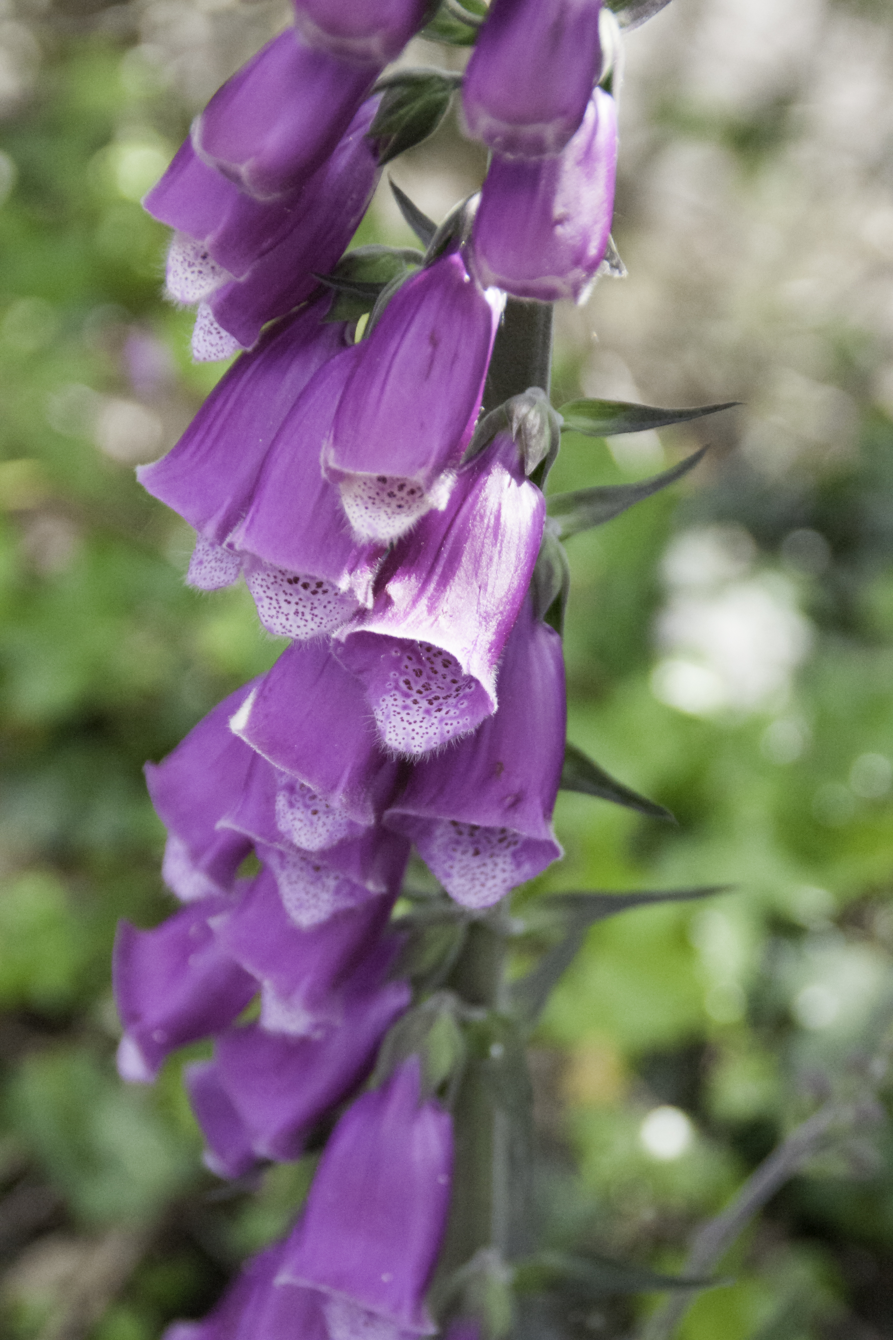
Rhododendron
and Foxglove
Continuing from yesterday’s post, on R572, before turning onto Healy Pass (R574) at Adrigole we stopped to take in this fine rhododendron bank. The massed bloom and color struck us. Happily, after there rhododendron became common.
Later, we were told the plant was considered invasive and needed control.
I turned around and foxglove was right there.
Copyright 2021 Michael Stephen Wills All Rights Reserved
Strand of the Stone Fort
Our introduction to Beara peninsula was a turn onto R572, Sugarloaf Road, from Glenarriff, drive a few minutes to encounter this view view. So stupendous, we parked on a convenient turnoff. The Irish name for the townland is Thrá Chaisil, Tracashel in English. The meaning is “Strand of the Stone Fort.” A prosaic name is “Stone Fort Beach.” Here we look across Bantry Bay,
The location, lost for years, was rediscovered from this photograph. A signed place name. An unmapped place name, surprisingly.
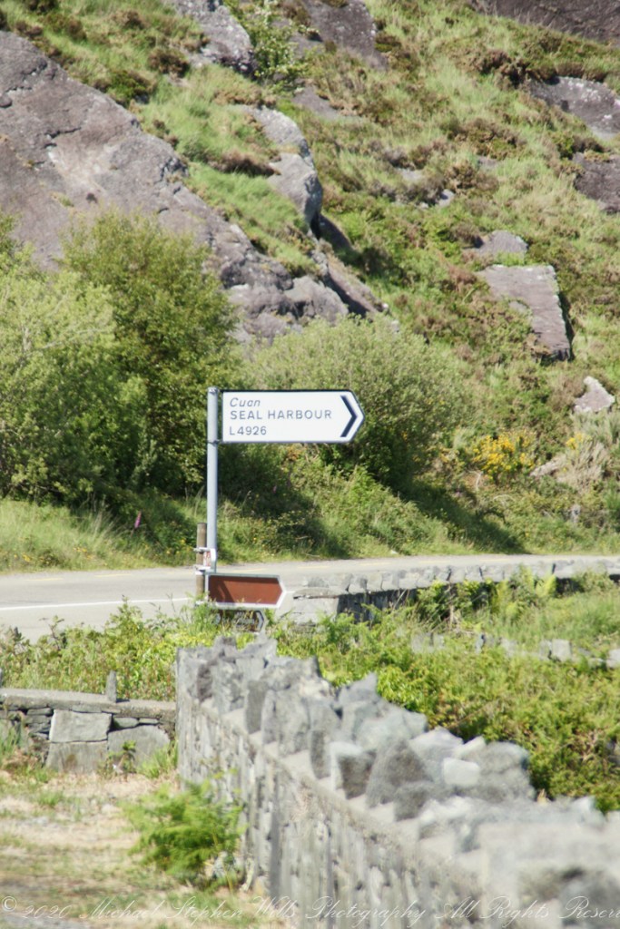
Using date/time stamps, working backward from the Adrigole photograph of yesterday’s post, I used the Google Maps to navigate the route from Glenarriff to find the sign post and turnoff. The harbor in question (“Cuan” is Irish for bay) is named for the adjacent townland, Coolieragh, “An Chúil Iarthach” in Irish, translated as “Western Nook.”
The non-existant “Seal Harbor” is a hopeful renaming by some entrepreneur.
Another view across Bantry Bay.
Copyright 2021 Michael Stephen Wills All Rights Reserved
Famine Road
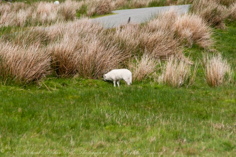
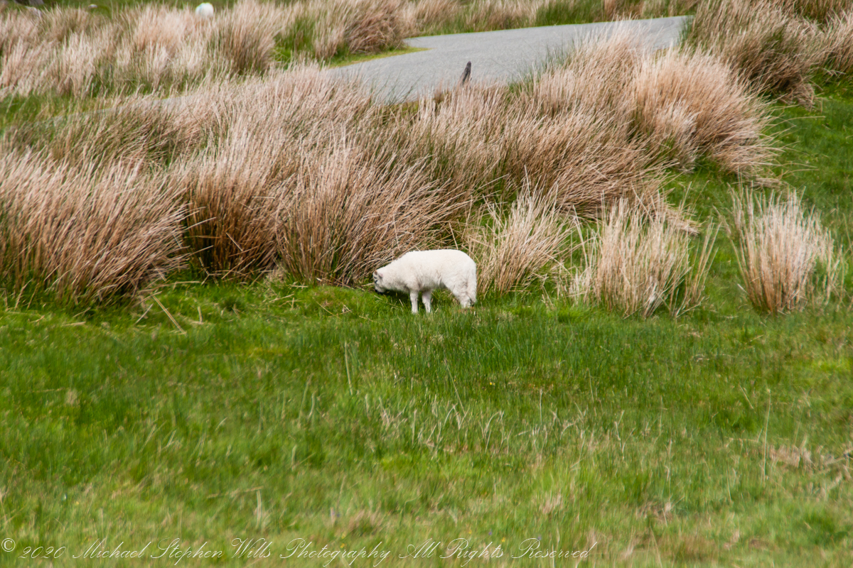
Driving the Beara Peninsula of western County Cork Pam and I were lucky enough to encounter a famine road traversing the Healy Pass. Formerly known as Kerry Pass, renamed in honor of Timothy Michael Healy, the first Governor-General, Irish Free State when the road was improved in 1932 shortly after his death. In Irish the name is Bealach Scairte.
Built by workers from the starving poor during the Potato Famine of the 19th century, one of the government projects to provide relief and improve infrastructure. This photograph is from where Healy Pass, R574, begins from the town Adrigole, County Cork. The mountain is the highest of the Caha Mountains of the Beara peninsula, is known by several names: “Adrigole Mountain,” “Hungry Hill,” “Cnoc Daod,” “Knockday,”j and “Knockdhead.” “Hungry Hill” is also a 1943 novel by Daphne du Maurier, thought to be set on the Beara peninsula.

The water is the Adrigole River.
References
Wikipedia articles for “Timothy Michael Healy” and “Healy Pass.”
Copyright 2021 Michael Stephen Wills All Rights Reserved
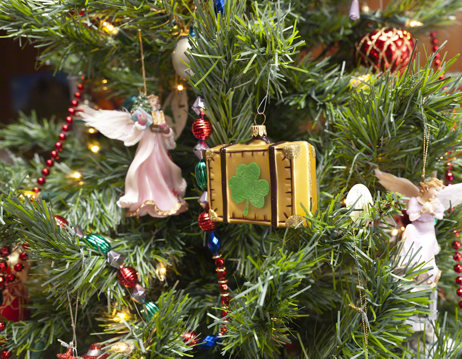
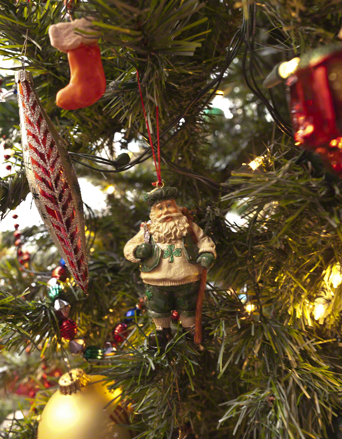
Reflections and Mementoes
Where would we be without Saint Patrick? He was a force, to be sure. A favorite story, is the landing of his return to the island 432 AD. The tides on the eastern coast of the Irish Sea can be strong. His plan was to sail up to coast further north than what we call today Strangford Lough. On passing this inlet the boat was swept into the lough tidal narrows. Circumstances called for a landing, rather than wait for the tide. Patrick came ashore where the Slaney River enter the lough and “quickly converted” the local chieftan, Dichu, who provided a barn for holding services. The name of the town “Saul” in Irish is Sabhall Phádraig, translated as “Patrick’s Barn.”
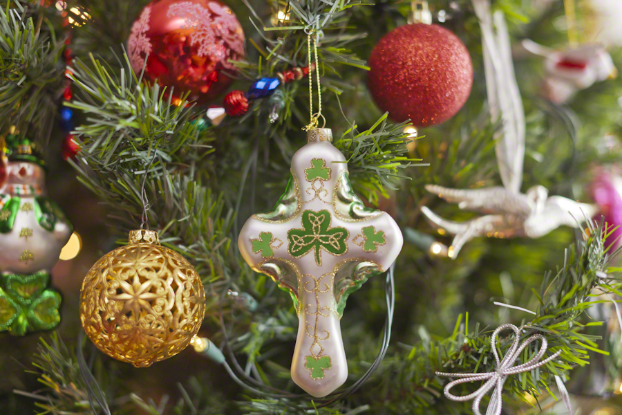
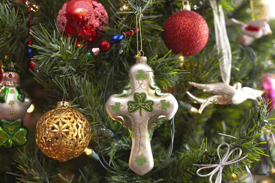
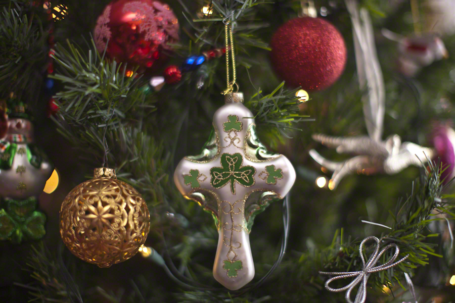
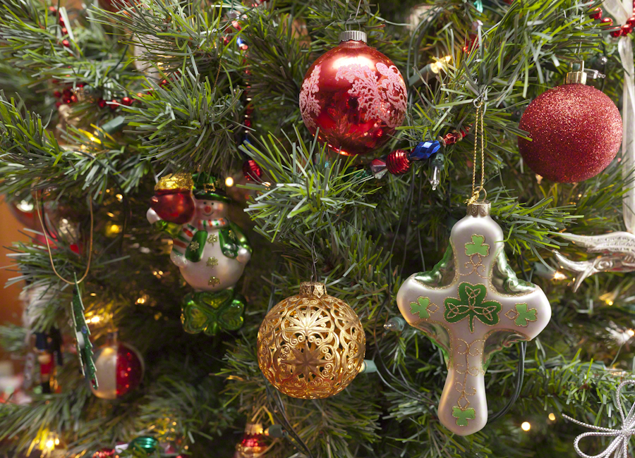
In this posting I’ll go lighter on descriptions of technique. Leave it to say I held to the Canon fixed lens EF 50mm f1.2L USM throughout. Some, like the photograph of Saint Patrick, used a tripod. Others, like the latter two of the following Irish Themed Cross set were handheld. Generally a flash was used to supplement ambient sunlight from a large north-facing bay window.
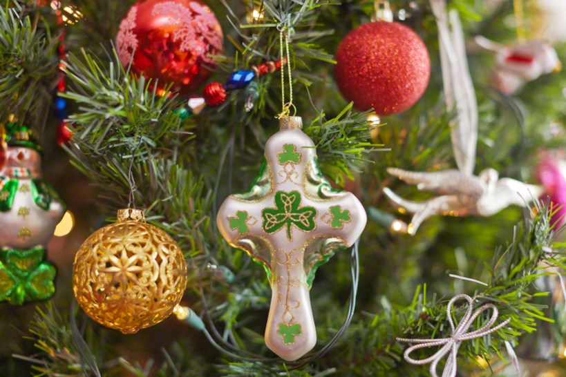
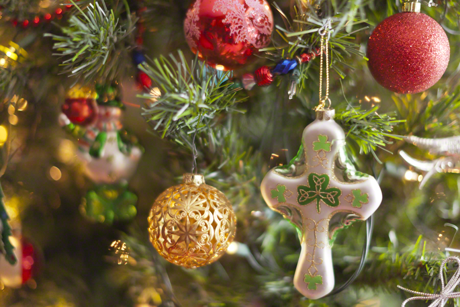
Here the “celtic” cross is converted to an Irish theme through a substitution of a shamrock with golden decoration inspired by pagan neolithic petroglyphs for the nimbus (circle) intersecting the central intersection of arms and stem.
For the first three I played with aperture, taking advantage of the stability of a tripod. The final two of the set are handheld.
Note the fanciful leprechaun snowman with pot o’ gold, on the left.
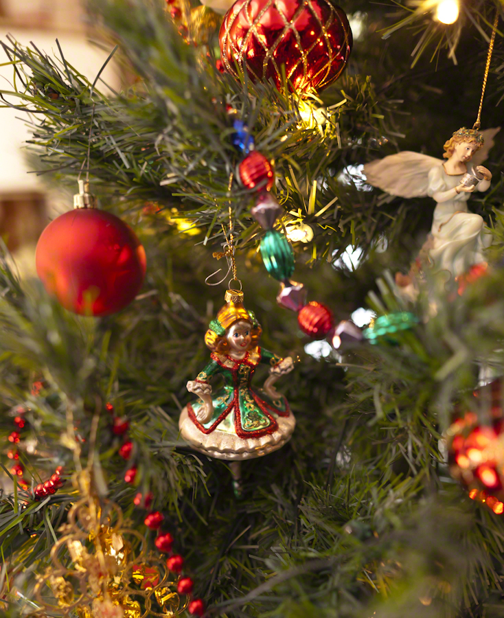
Blown glass Irish dancers.
“Travel memories”
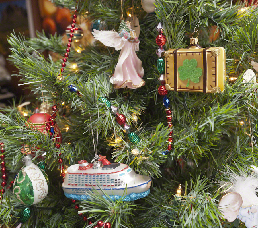
Lets’s finish up with a resin cast Santa Claus in hiking garb. Hiking is a favorite activity of ours. Featuring a stout staff and Aran Island sweater.
In closing
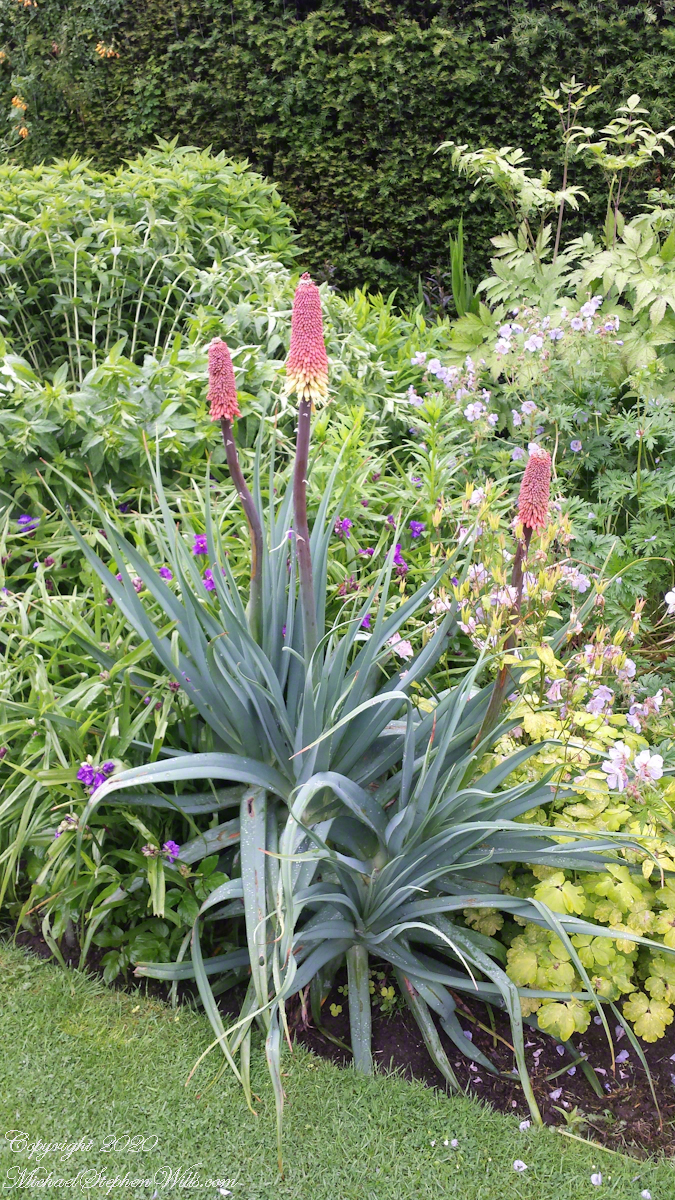
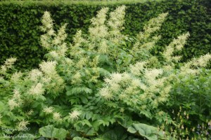
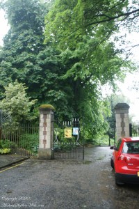
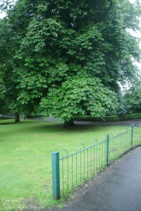
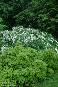
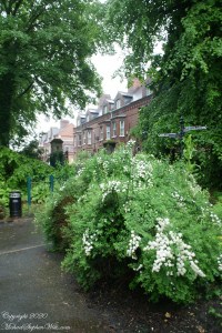
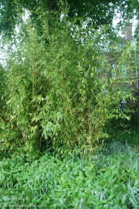
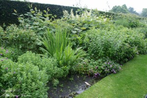
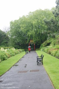
The Ulster Museum is set among the Botanic Gardens. It was in the gardens on this rainy Saturday Pam and I wandered for twenty minutes to sweep away the cobwebs of our rainy drive from Coleraine.
I do not have an identification for the following photograph. If you know, please comment. Thank You.
Click photograph for a larger view. To do this from WordPress Reader, you need to first click the title of this post to open a new page.
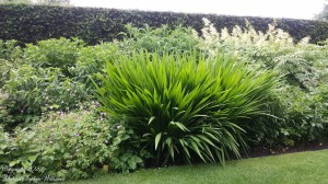
“Tropical” palm trees and bromeliad are found throughout Ireland. Thank You Gulf Stream.
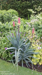
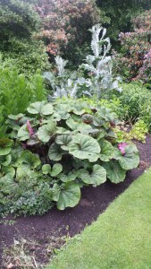
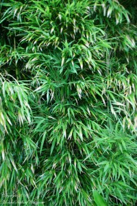
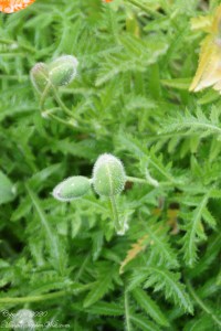
Another unidentified plant…..

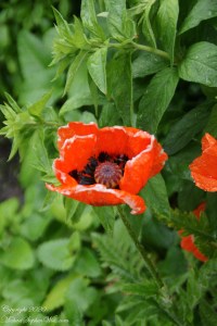
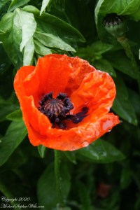
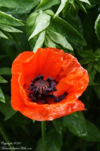
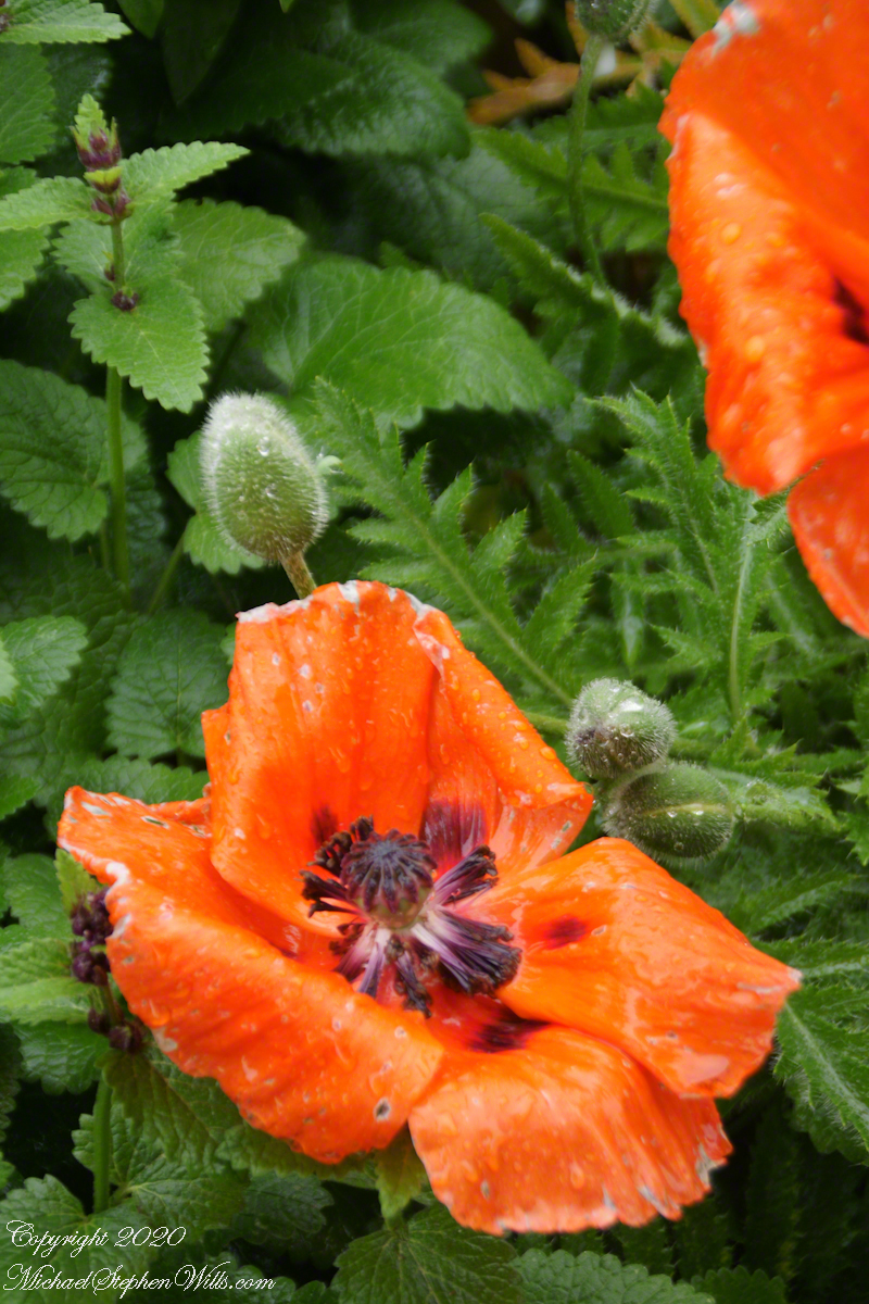
Poppies!!! Petals like paper
The Ulster Museum is set among the Botanic Gardens. It was in the gardens on this rainy Saturday, after the Foxglove flowers of yesterday’s post, flourishing, bright red poppy flowers caught my eye.
Here is a take on poppy flower buds on long stems among leaves.
Click photograph for a larger view. To do this from WordPress Reader, you need to first click the title of this post to open a new page.
Poppy is a storied plant, most species do not produce the narcotic alkaloids associated with sleep and death, pain control. Papaveroideae, the sub-family of these plants, is derived from the Latin for paper, papyrus. You can see the association in the following photographs, petals drenched in water, crumpling like wet paper.
….and more.
..to be continued…..
