I finished my Zion photographs from oyr 2007 trip. Click this link for the 22 images accepted by Getty.
Zion National Park 2007
My Zion Photography on Getty
My Zion Photography on Getty
I finished my Zion photographs from oyr 2007 trip. Click this link for the 22 images accepted by Getty.
A peaceful wilderness evening
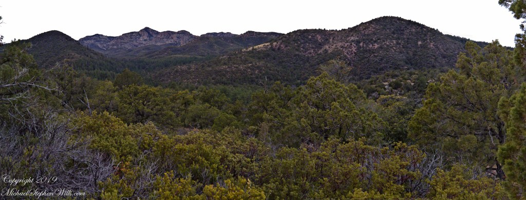
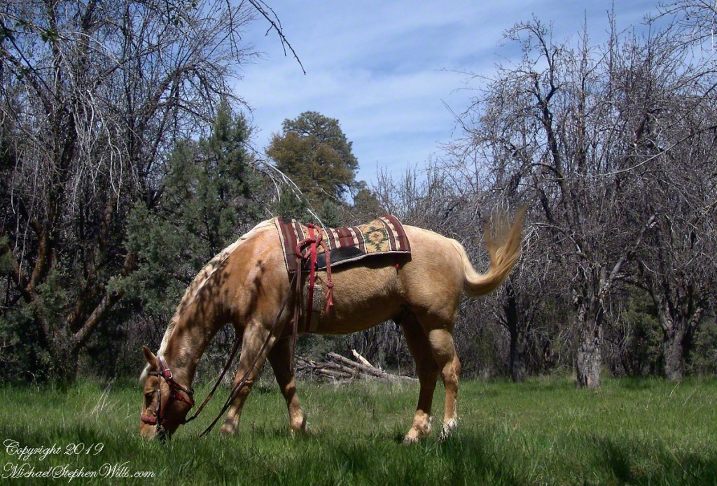
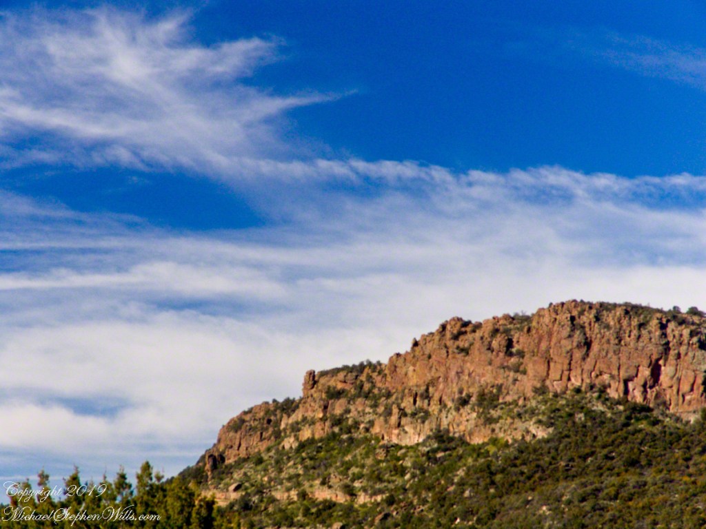
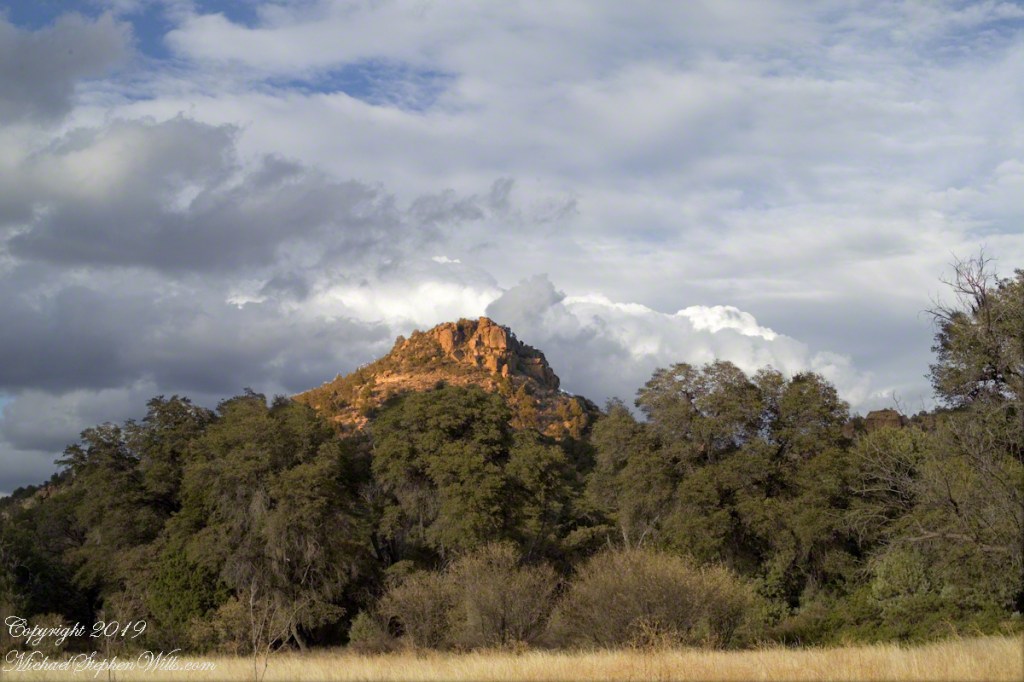
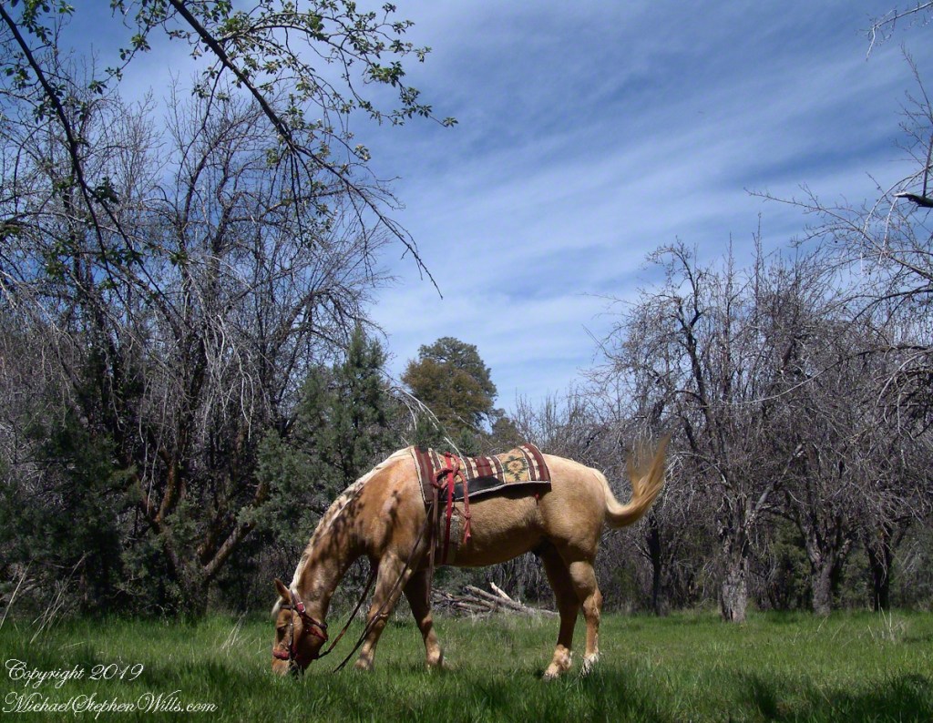
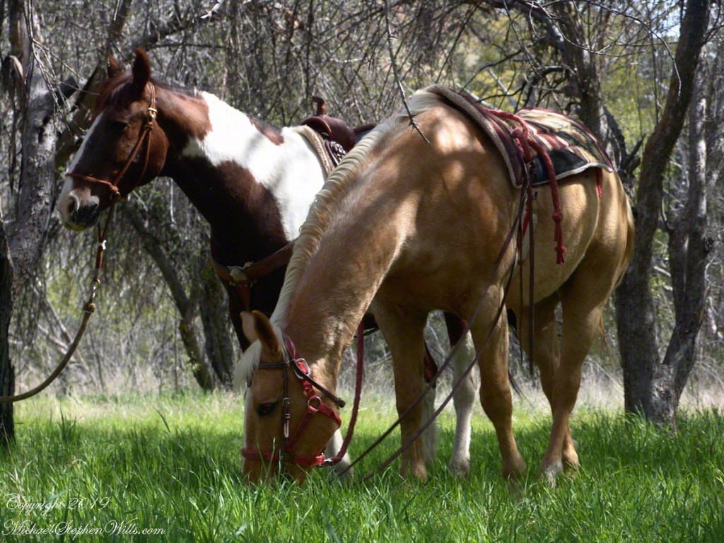
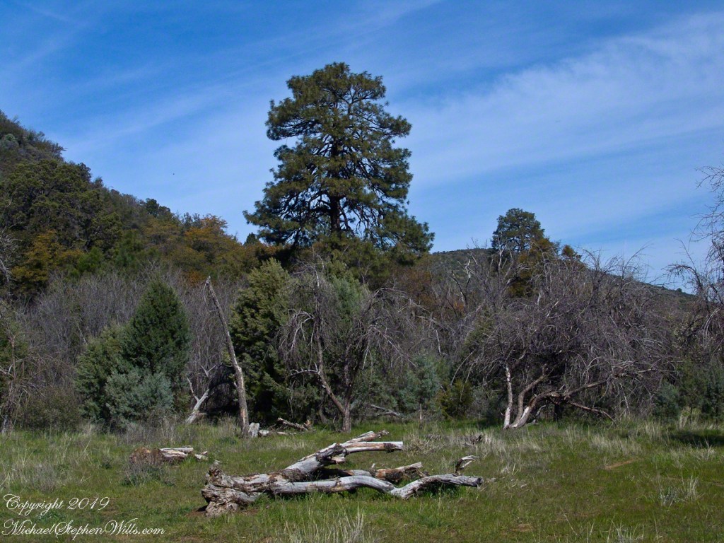
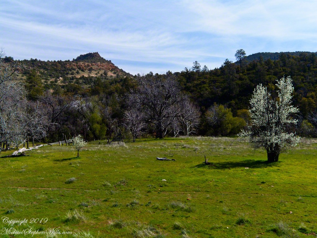
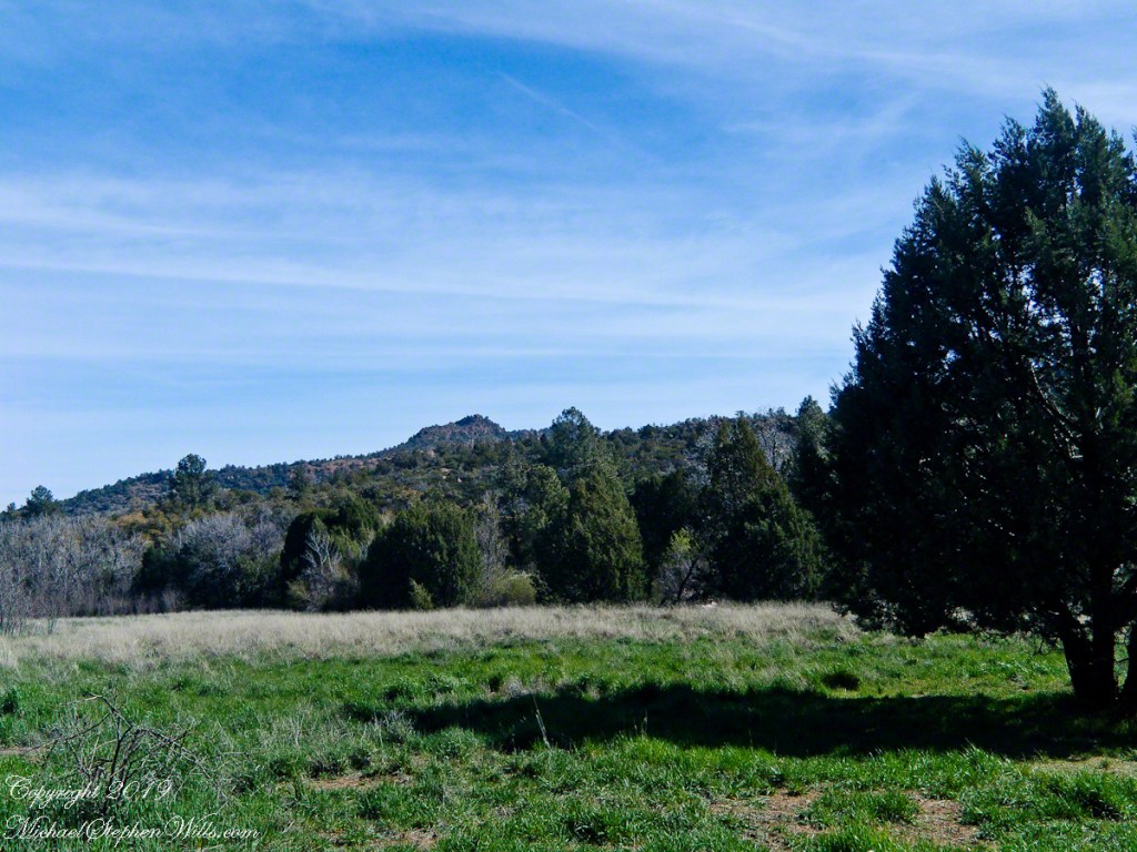
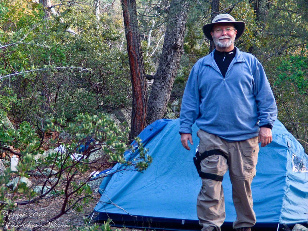
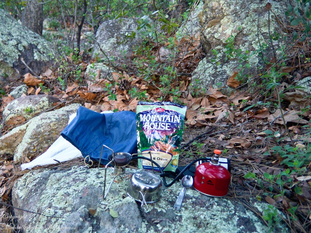
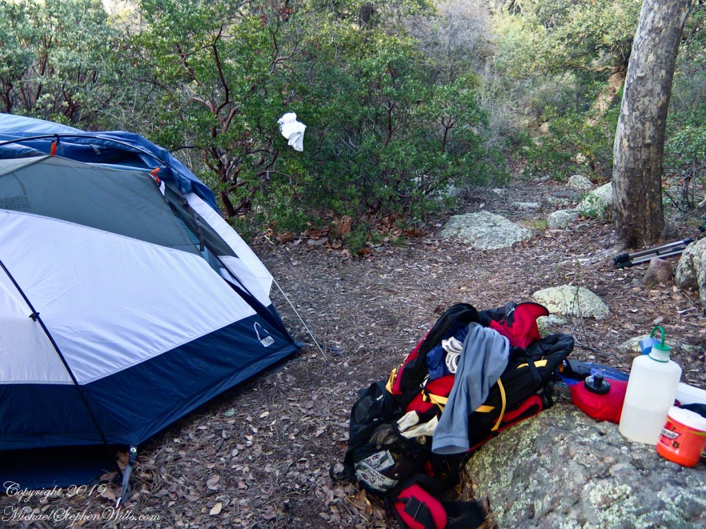
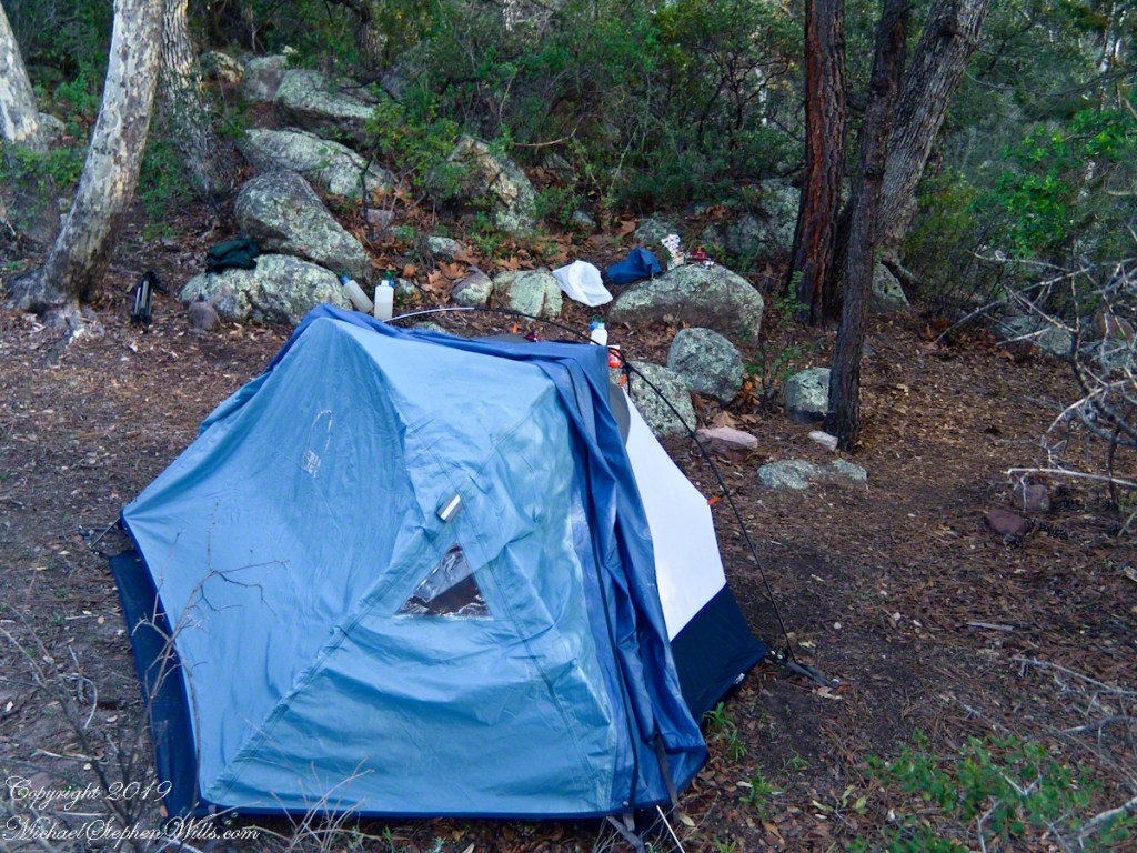
The following year my sister Diane and I did two expeditions into the Superstitions, March and November 2006.
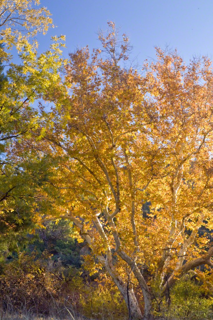
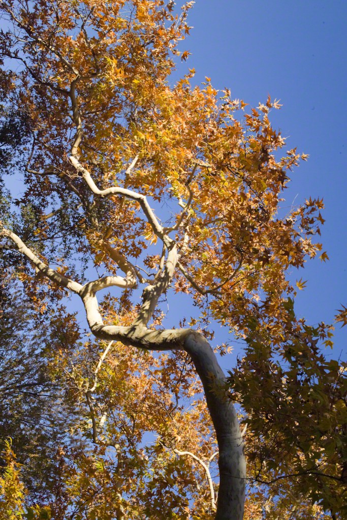
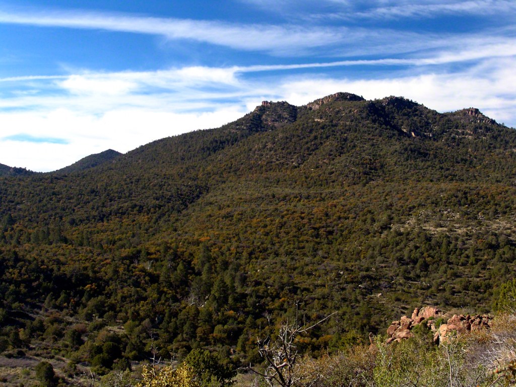
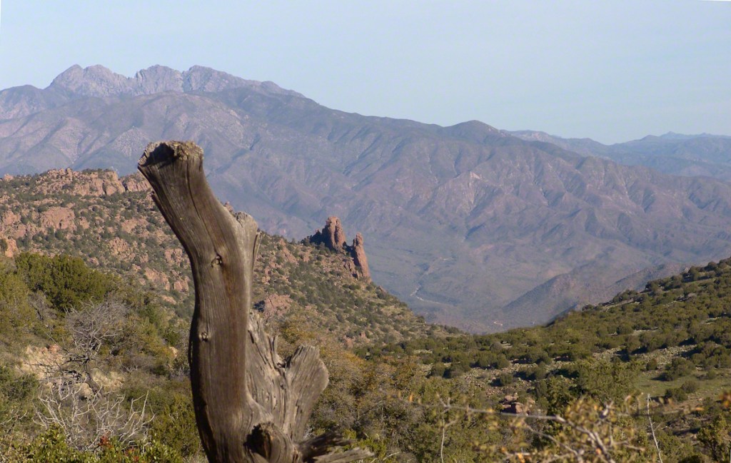
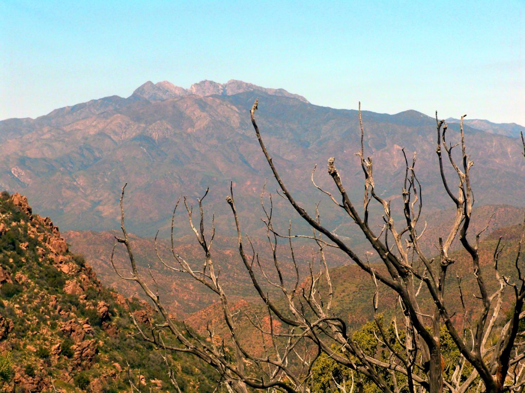
“A This video is from the November backpack, taken from the hill above the Ranch Ruin (Click me for “A Ride to Reavis Ranch”) you will experience the peace of this wilderness valley.
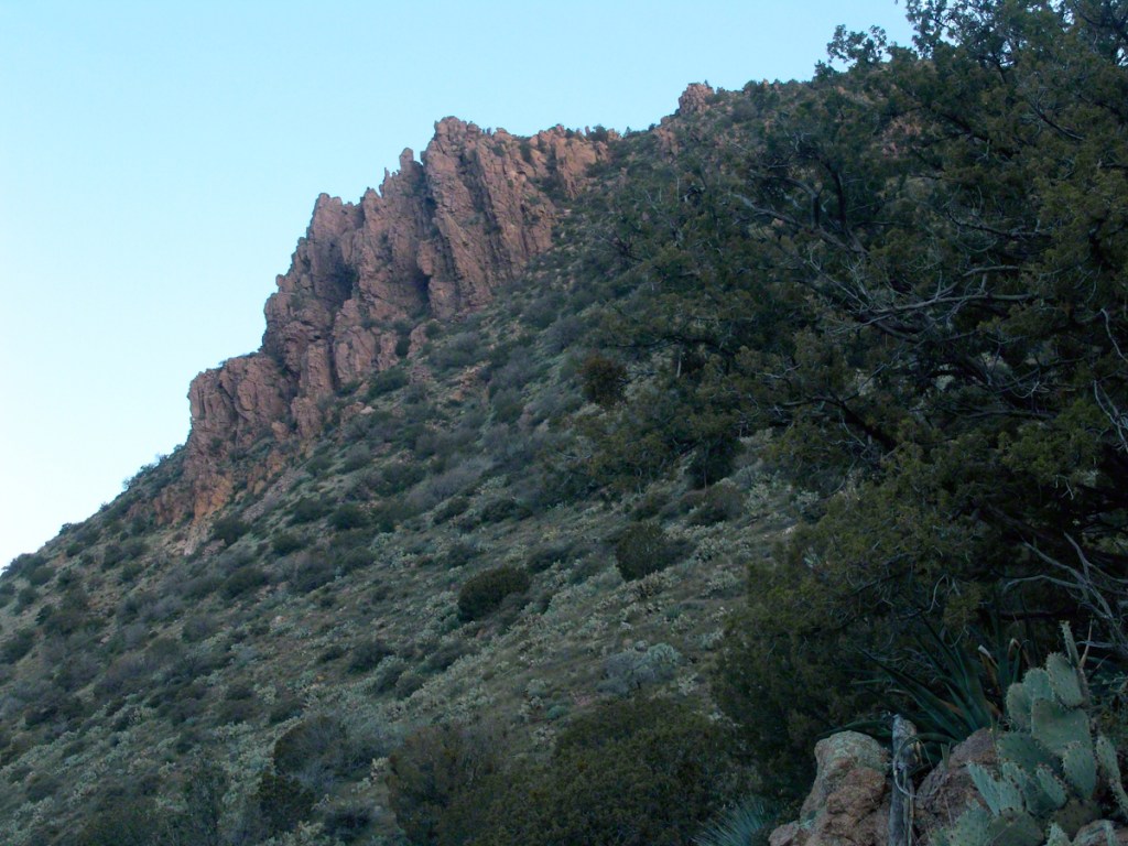
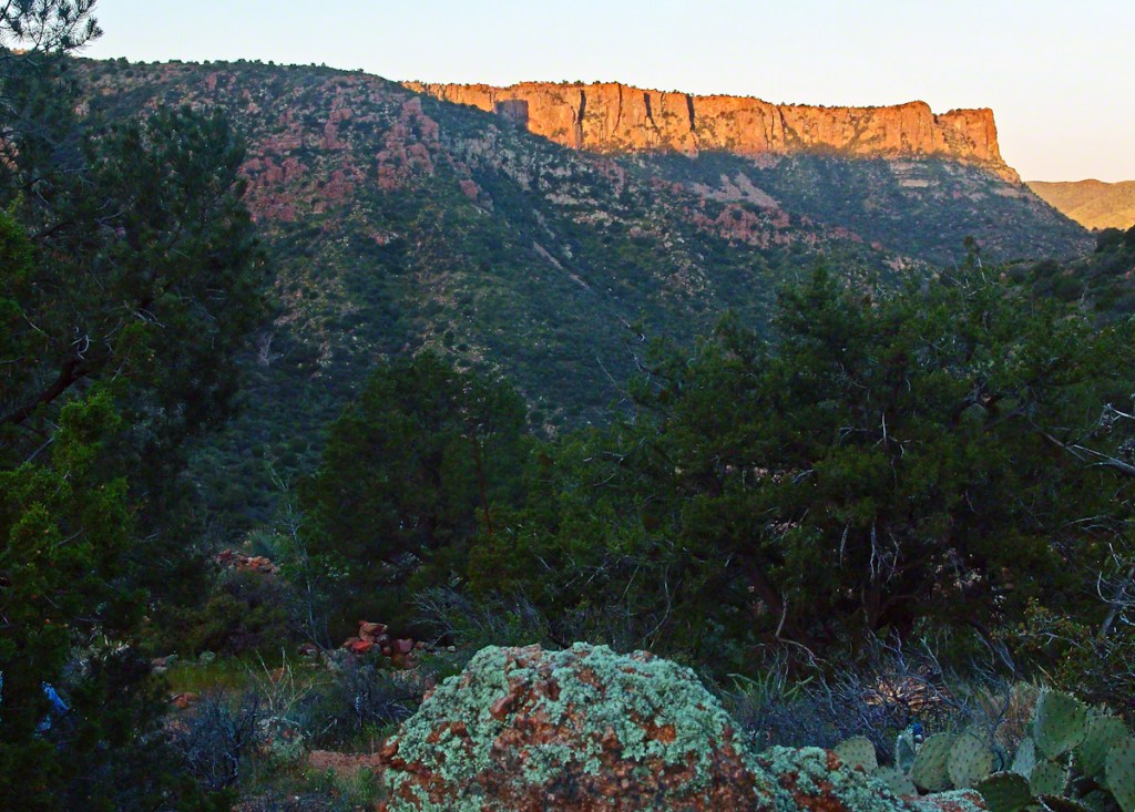
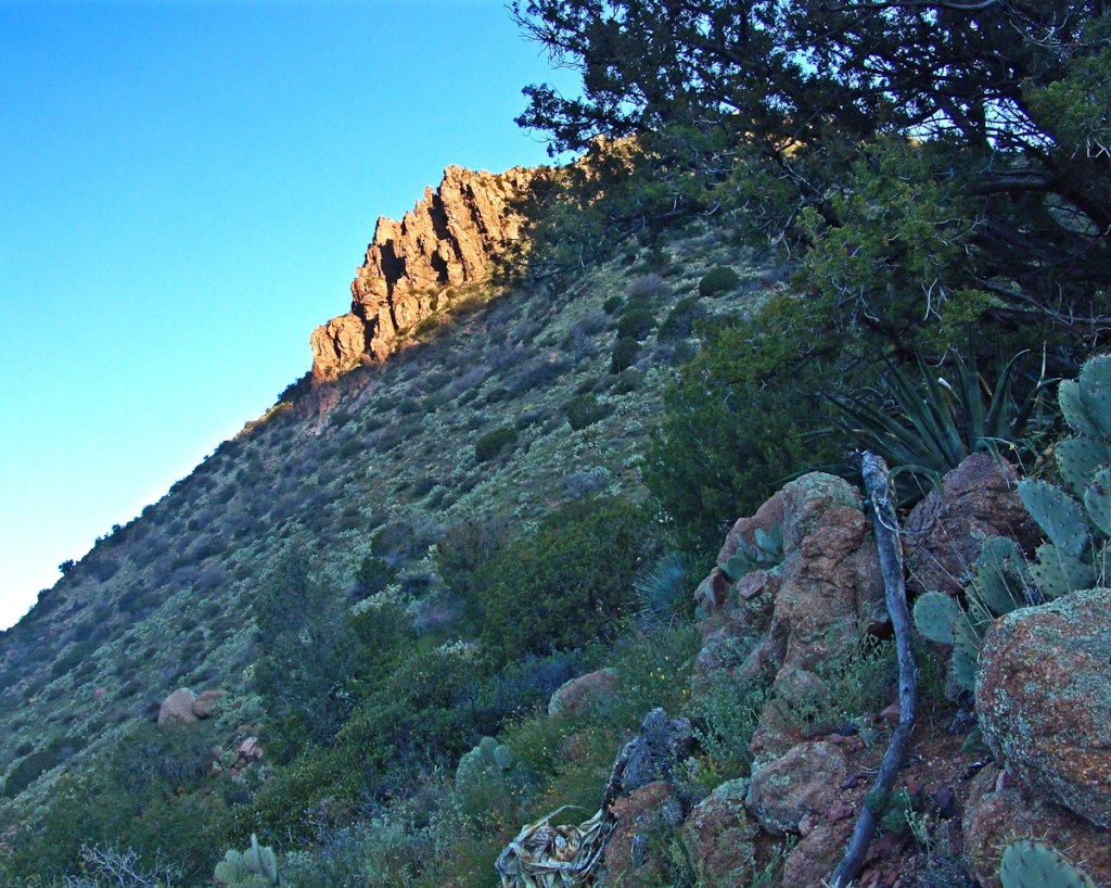
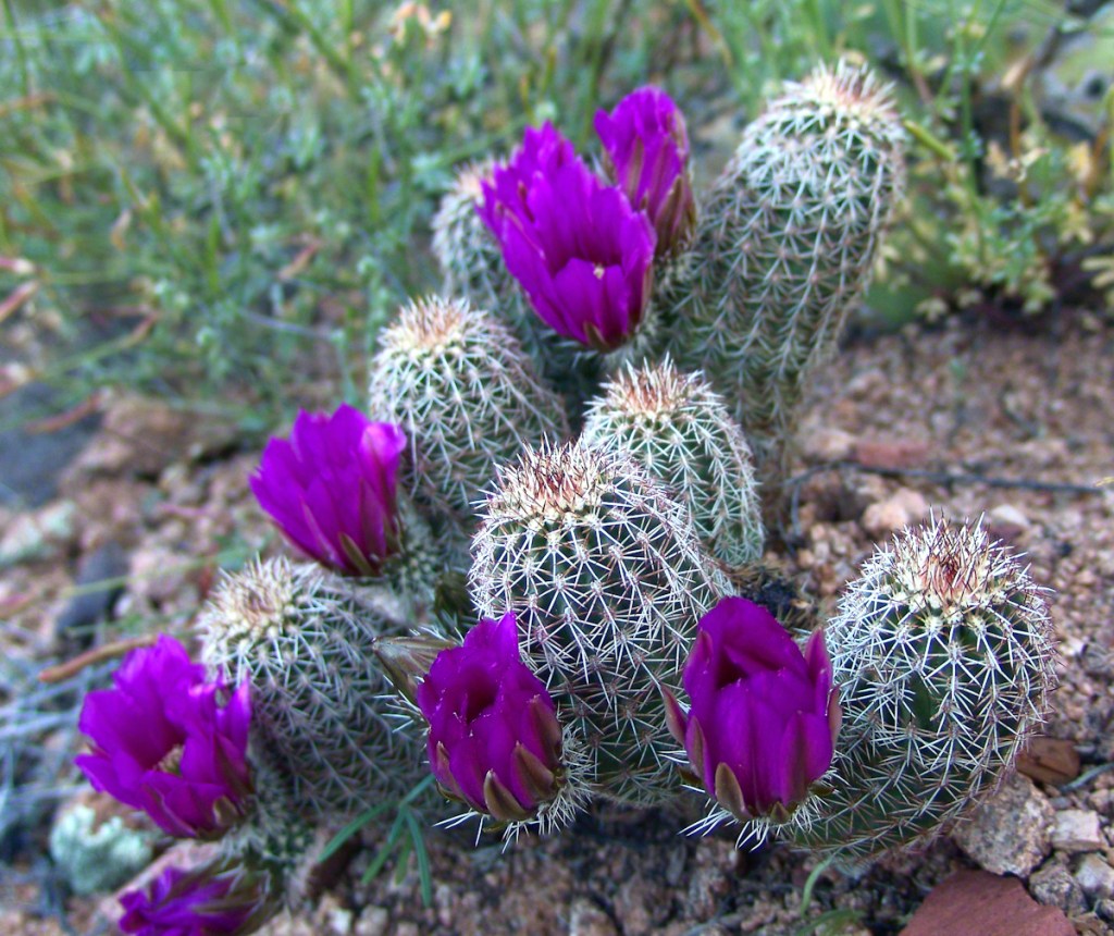
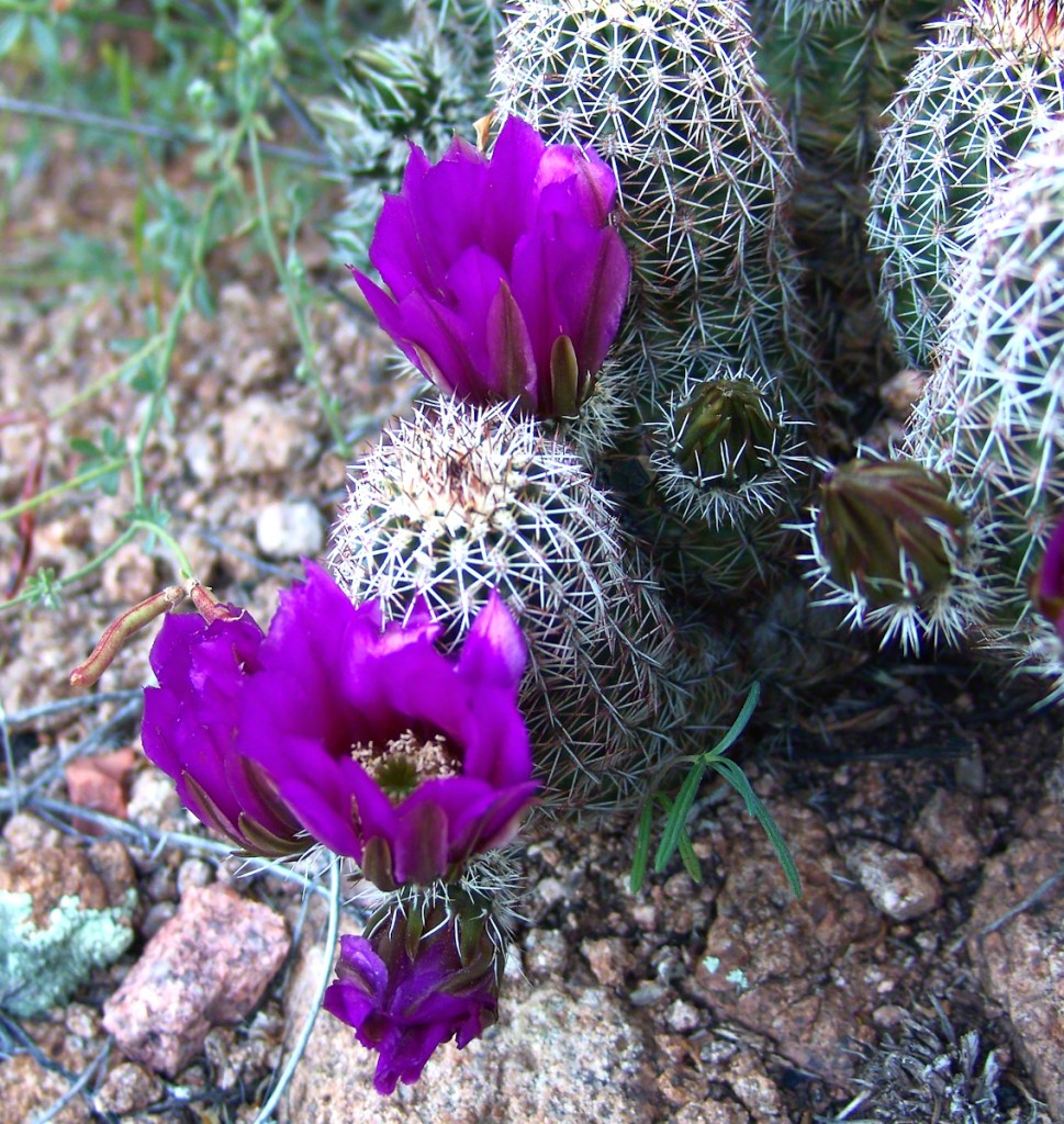
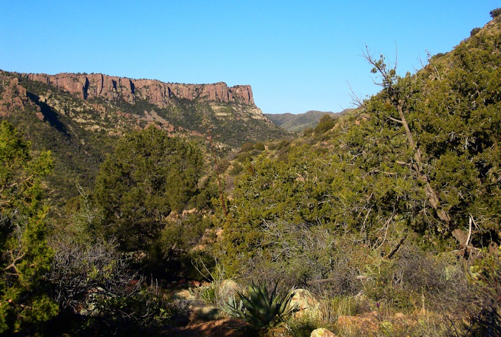

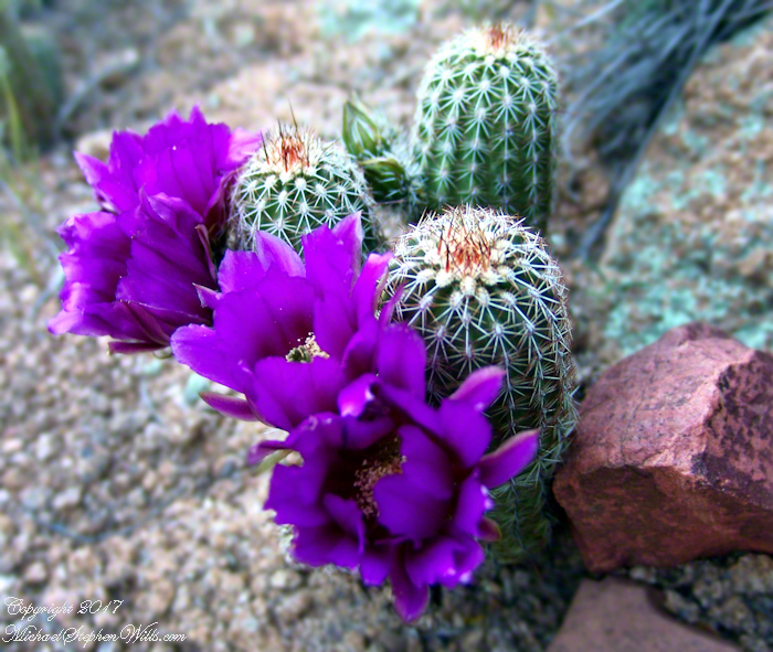
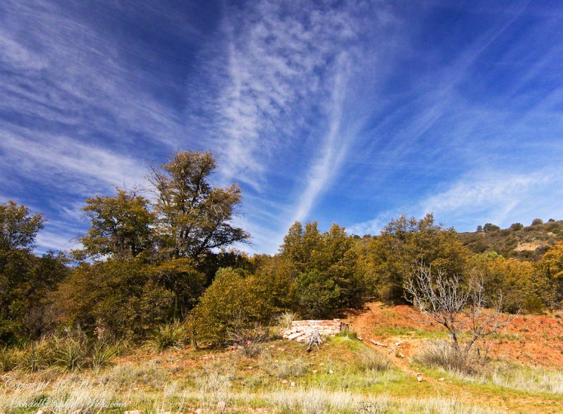
A peaceful wilderness evening
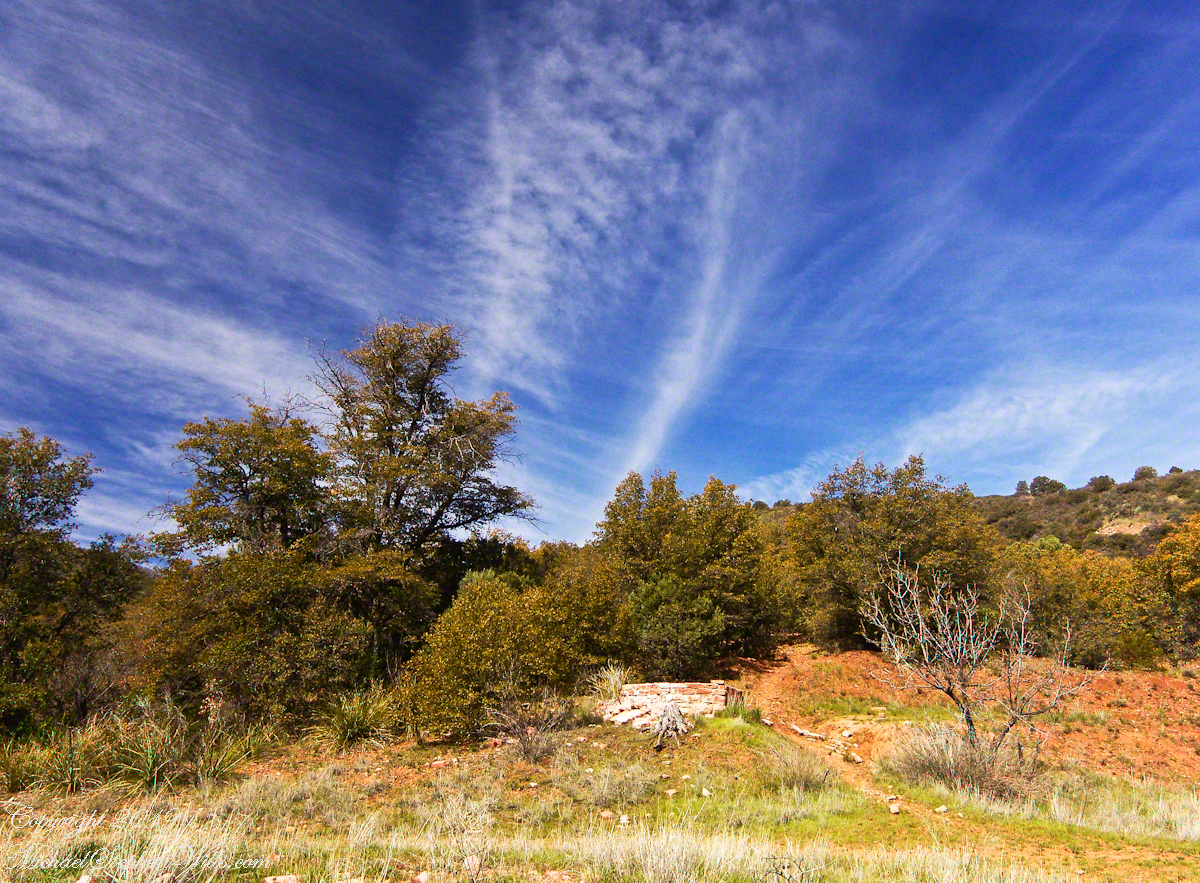
The following year my sister Diane and I did two expeditions into the Superstitions, March and November 2006.
“A This video is from the November backpack, taken from the hill above the Ranch Ruin (Click me for “A Ride to Reavis Ranch”) you will experience the peace of this wilderness valley.
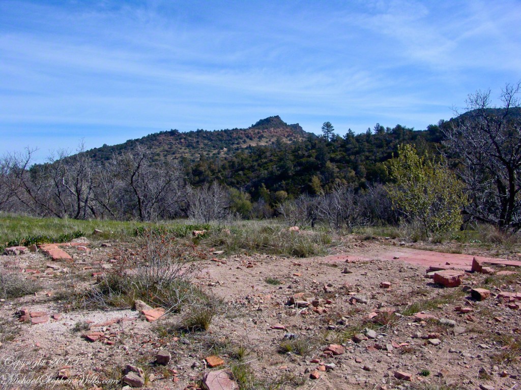
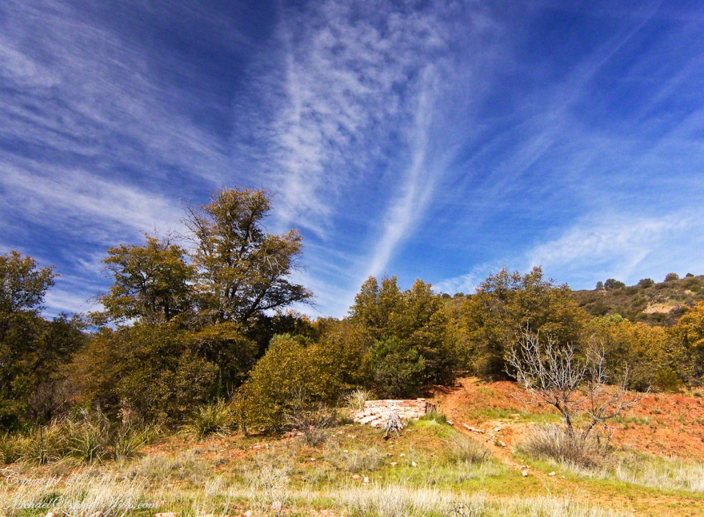
About that mysterious stone structure featured in this video. Over the years I have pieced together its purpose. When the ranch was active, a canal followed the contours from upper Reavis Creek to fill a pond down the hill from the house — I was shown the canal and walked it 2005. The structure was razed in the 1990’s, all that remains is the concrete foundation slab and, when I was there 2005 – 2008, scattered remains of the tile flooring. I am sure the pedestal above the house supported a water tank for a gravity water feed (“indoor plumbing”). Here is a link to more info about that site. The article does not discuss the water system.
Family Group with child
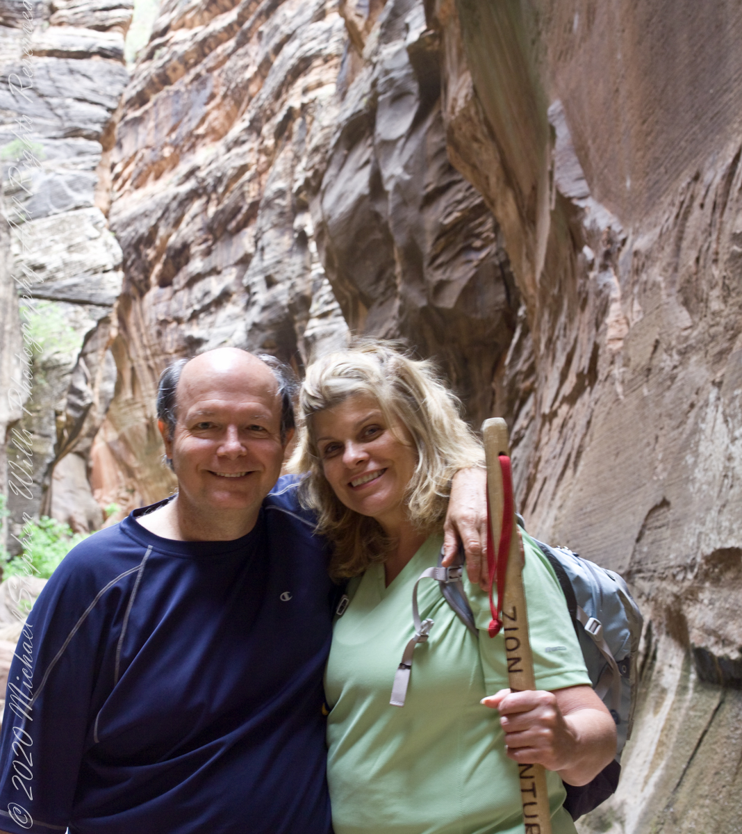
In this series of three exposures from a tripod mounted Kodak DSC Pro SLR/c and Canon EF 50 mm f/1.4 USM lens, all were ISO 250, at f/8. The difference was the exposure time. In is the shortest exposure, 1.6 second, the human figures are blurred, though to a lesser extent than the second image, released earlier.
This is the last image of our trip to Zion National Park.
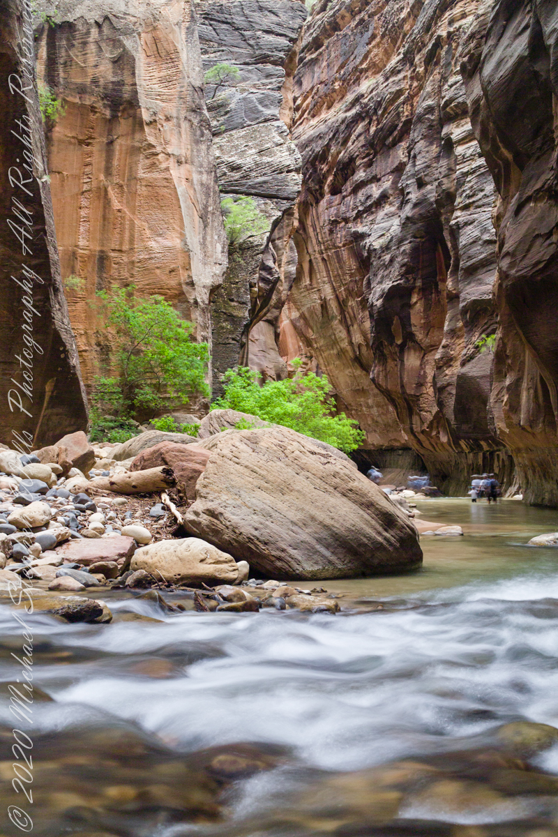
Blurred water and human figures
The image is from a tripod mounted Kodak DSC Pro SLR/c and Canon EF 50 mm f/1.4 USM lens, ISO 250, exposure 3.5 sec at f/8. The flowing water in forground has an appealing blur, fellow waders, in the distance under beeteling cliffs, are blurred and unrecognizable.
Here the canyon turns sharply to the right.
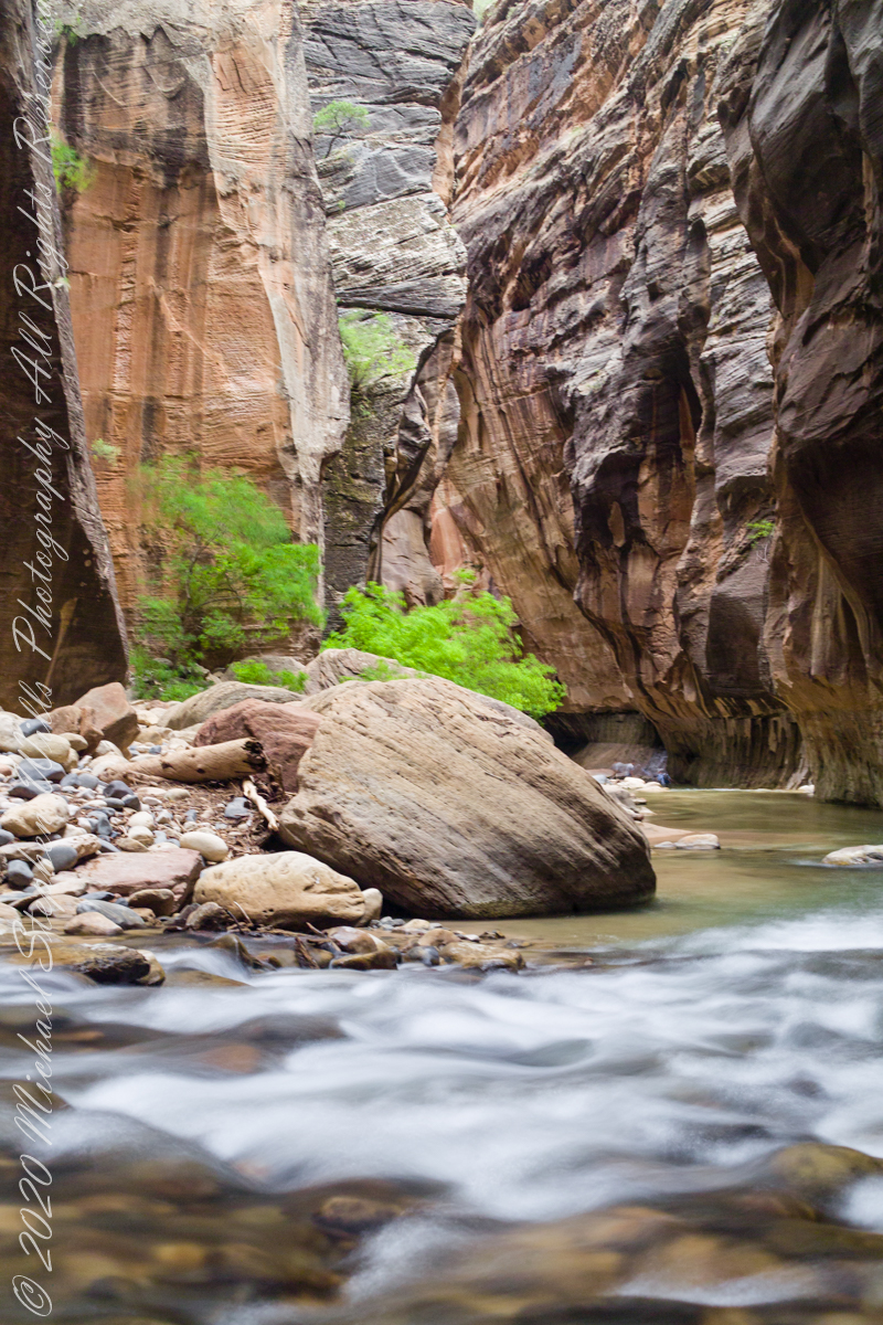
Flash Flood Refuge?
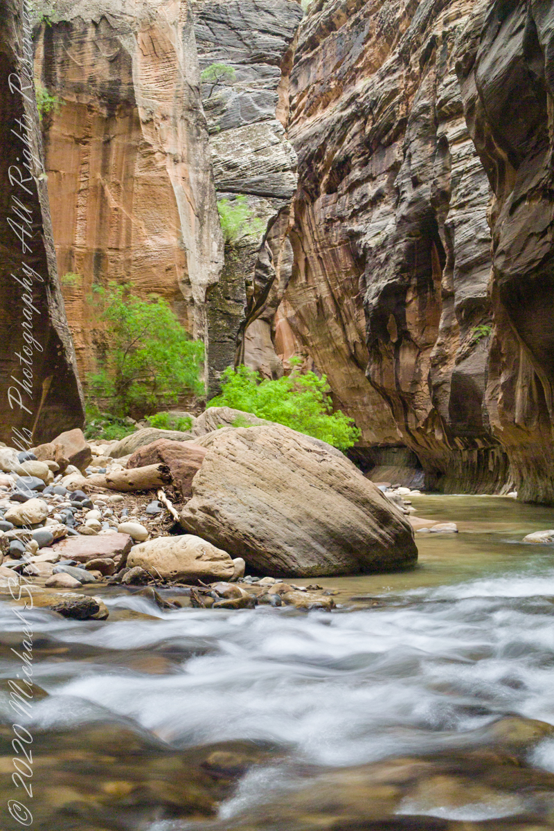
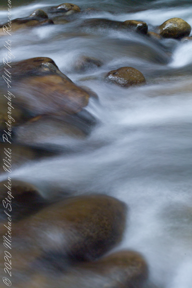
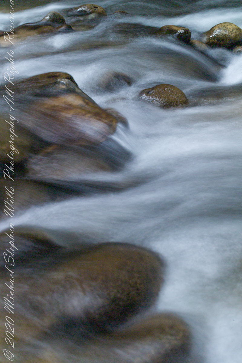
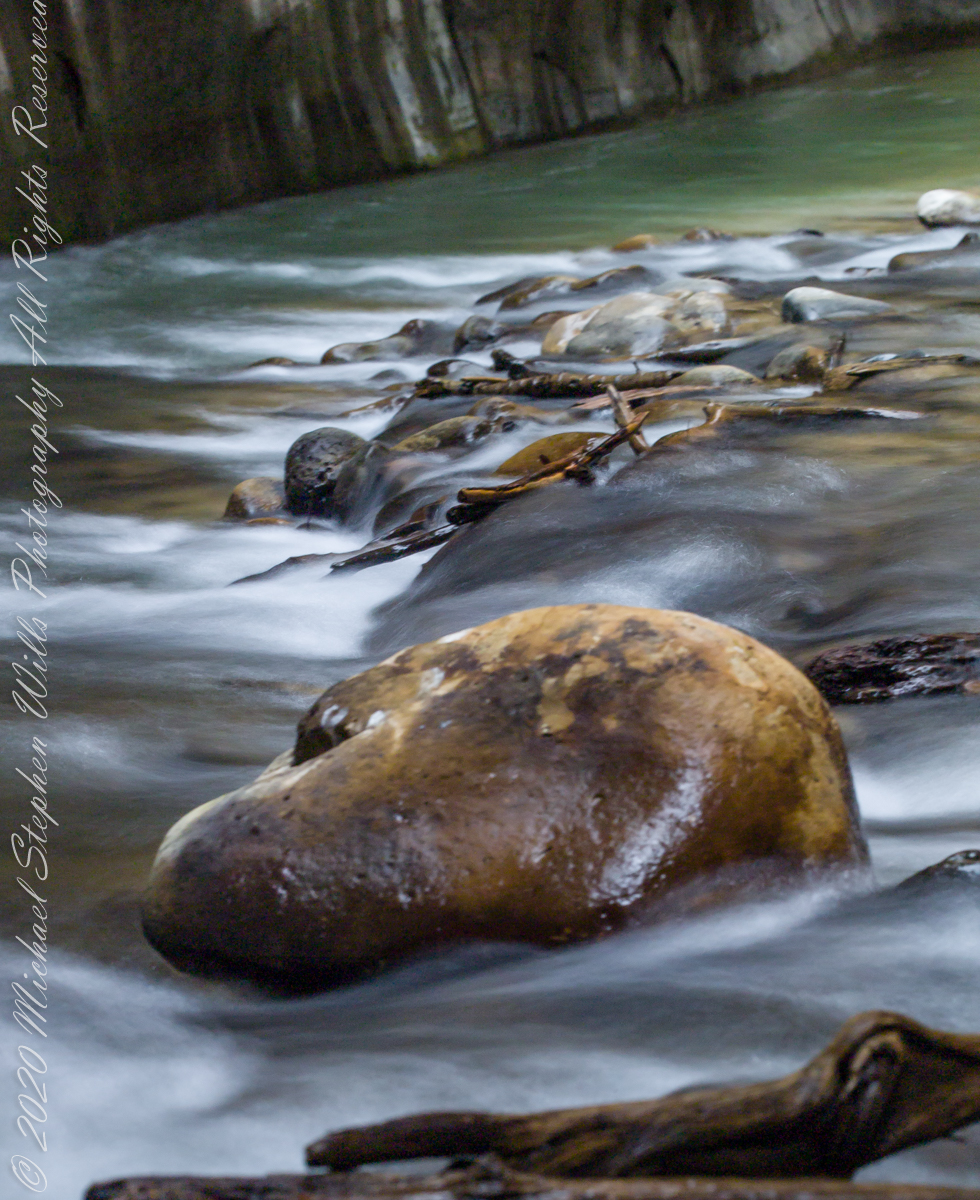
The first of three long exposures of the Virgin River from the Narrows on the way back to Pam. Earlier on Pam headed back, concerned about thunderstorms and the possibility of flash floods. I hung on, for the perfect photo. I came pretty close here, with the flowing water coming aound this outcrop of picturesque boulders, canyon turning sharply right up ahead.. The Narrows, Zion National Park, Springdale, Utah
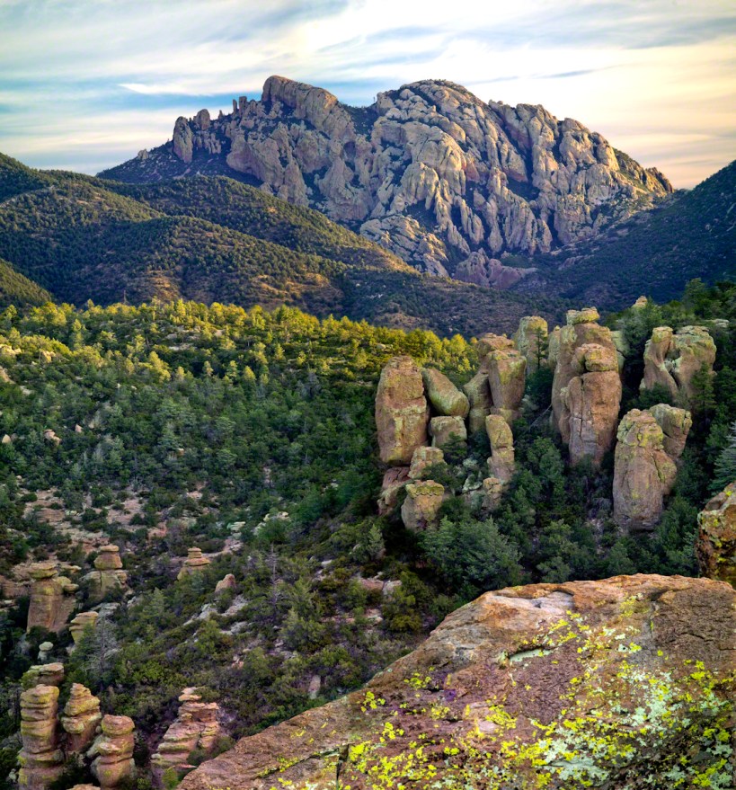
ancestral Apache land
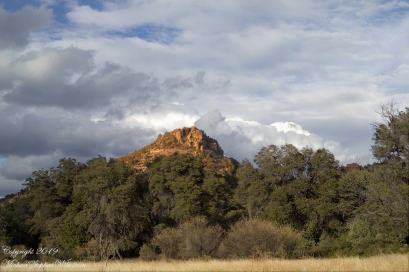
From 2004 through 2011 I visited Arizona every Autumn, October or November. As a University of Arizona Alumni Board member for the College of Agriculture and Life Sciences we had a meeting during “homecoming” and a fund raising event. I’d come early or stay later for getting acquainted with Arizona, more than was possible as an undergraduate. In 2007 I camped for several days Chiricahua National Monument of the remote south eastern corner of the state.
The park empties out this time of year, for some reason. The weather is perfection with clear skies, moderate daytime temperatures, cool nights. This time of year the Arizona White Oak acorns ripen and fall. The campground has aluminum picnic tables, the falling acorns made a loud plunks throughout the night. This would annoy some people. Me, it is a great memory.
The following two images are great memories from my first morning.
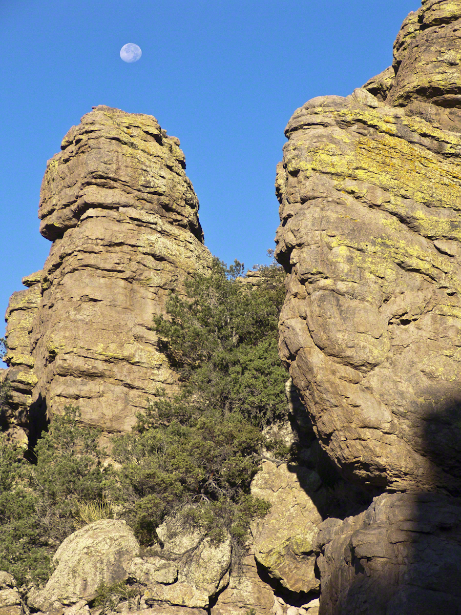
I experimented this trip with a breakfast of granola with dried whole milk. It was delicious (for me) and got me out on the trail quickly. This first morning I clicked my hiking poles together to scare away bears as I walked in the pre-dawn dark. The preparation and extra effort paid off with this photograph.
I met one hiker who was a harbor pilot from Hamburg, Germany. He came just to view a particular rock formation that was, literally, the rubber bath duck. It is several miles to the site, a moderate hike with significant elevation gain. He took his snapshot with a little camera and was on his way.
The following is my masterpiece from the trip. Imaging the effect of seeing this image on settlers. That same first day I turned a corner and there this was…it took a few minutes to comprehend what I saw, it was so incredible and, for me, unexpected. It first, the only perception is a huge rock dome of rough rock, then, slowly, the image of a native American profile forms in the mind.
Cochise Dawn
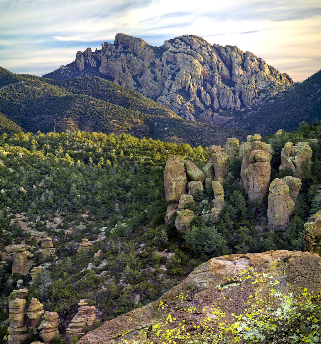
Click link for the complete story behind how I captured this image, from my Online Gallery.
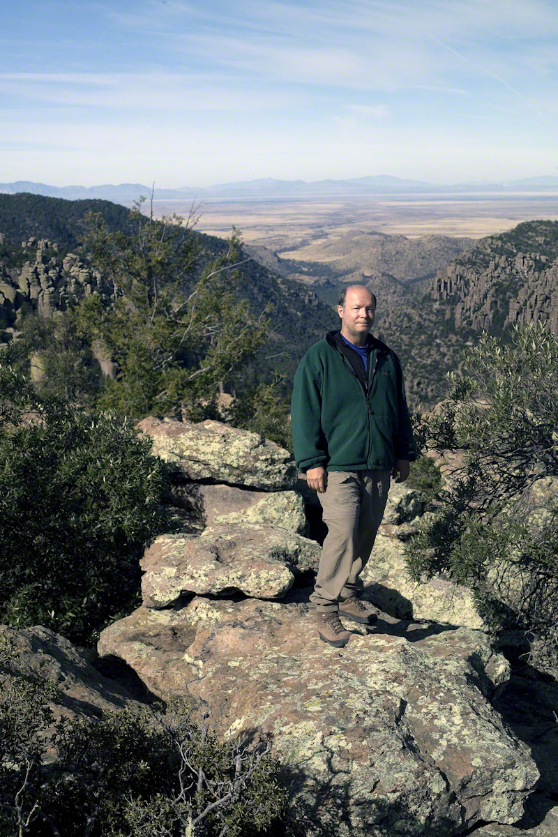
During the session for Cochise Dawn I turned the camera for the view northwest and did a self portrait. In the distance are the Galiuro Mountains and Wilderness. Tucked alongside is the Aravaipa Canyon Wilderness, hosting one of the few perennial streams of Arizona.

highwater?
Three long exposures of the Virgin River, long may it flow. The Narrows, Zion National Park, Springdale, Utah
highwater?
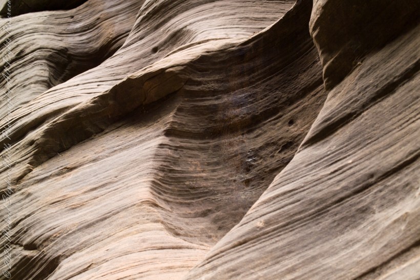
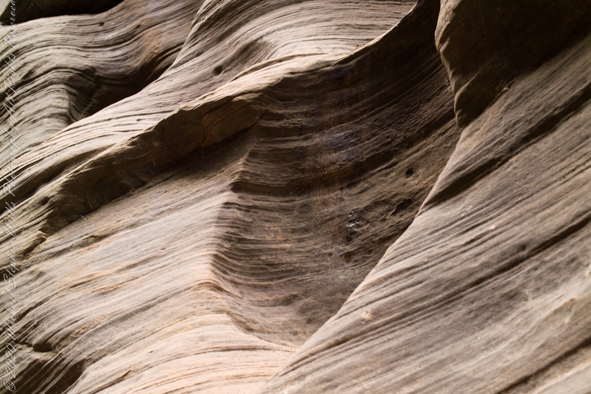
Mysterious alcoves through cross-bedded Navajo Sandstone, 15 feet, or more, above the streambed. I use mysterious in the sense I wished the formations were mysterious, standing there with nowhere to climb, witnessing the effects of floods that high above. The location is The Narrows just above Orderville Canyon junction, Zion National Park, Springdale, Utah
laying around in The Narrows
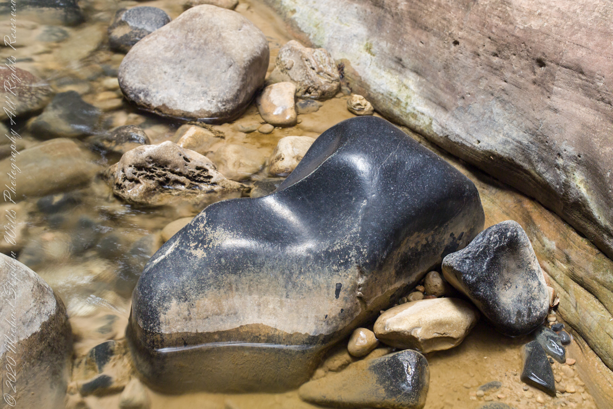
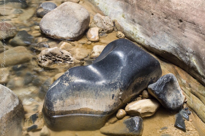
This polished basalt, the product of volcanic eruptions and eons-long weathering, is common on the Virgin River bed. Zion National Park, of The Narrows just above Orderville Canyon junction.