Maritime Government

Another Hero

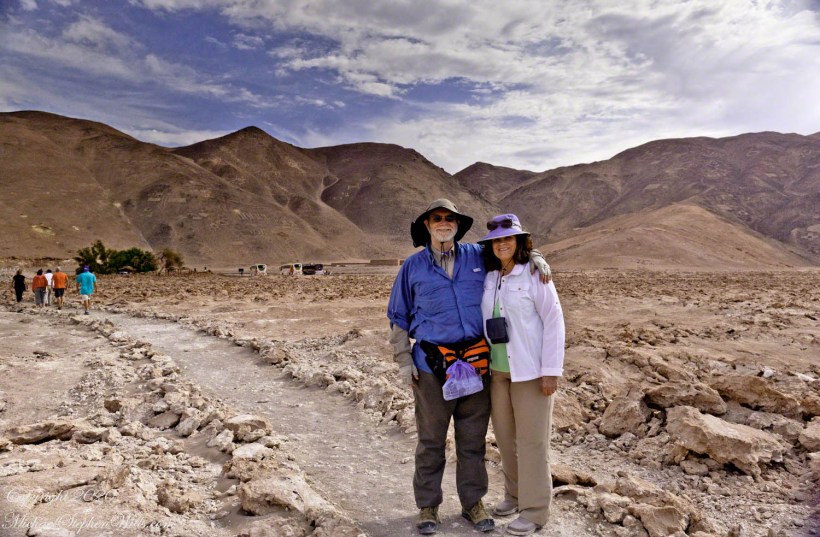
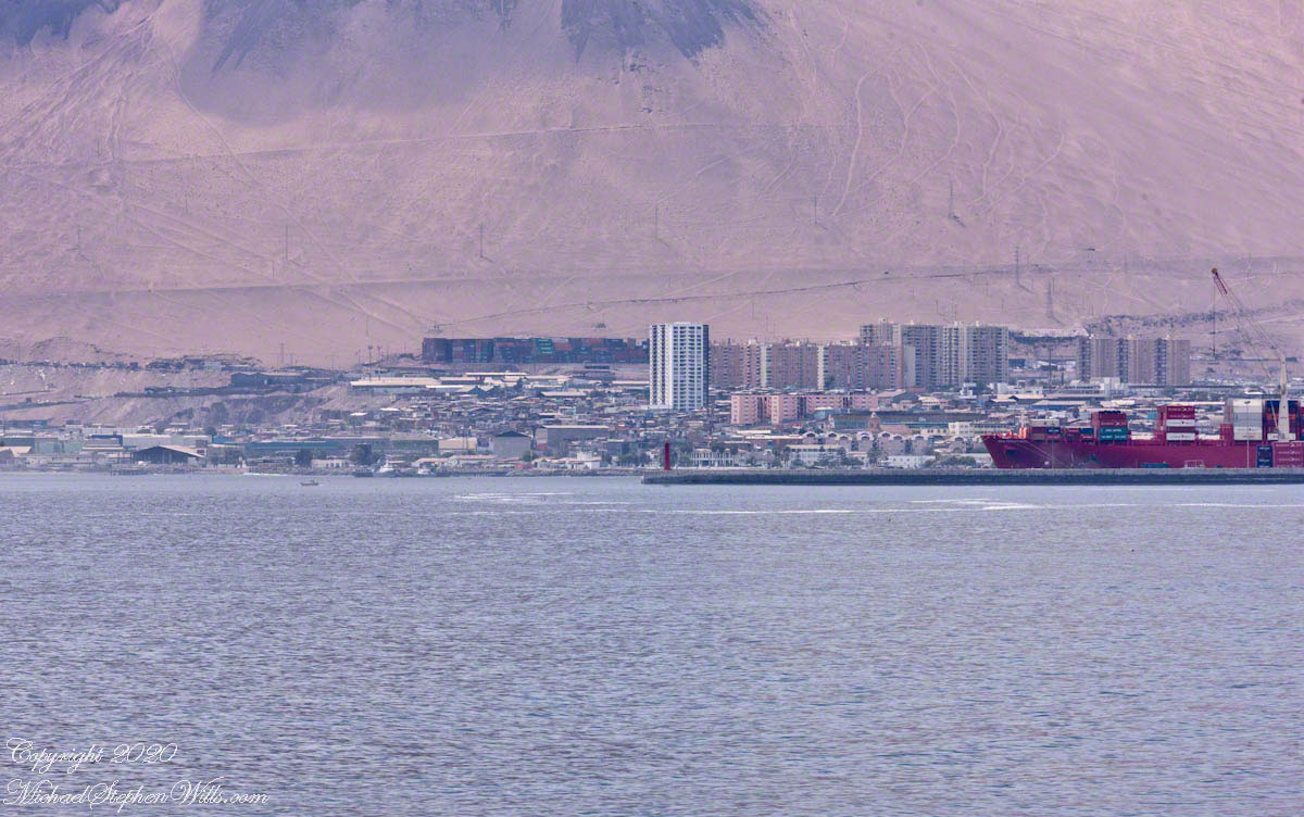
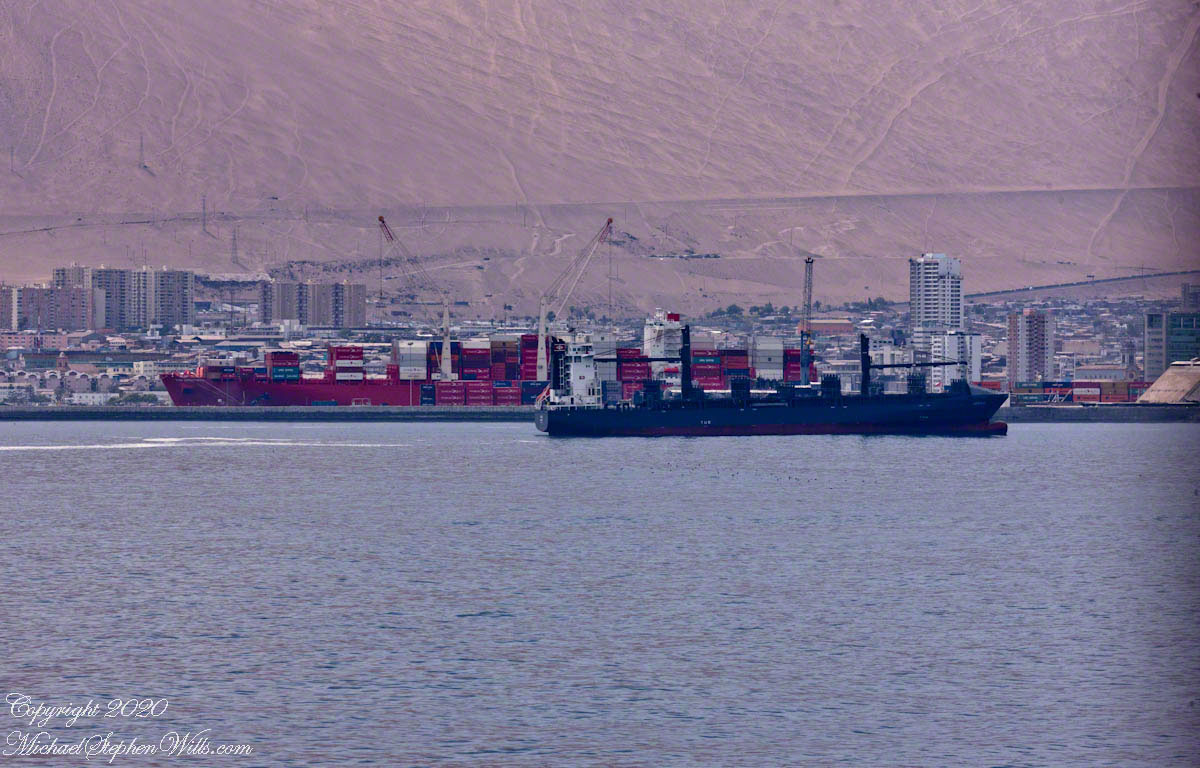
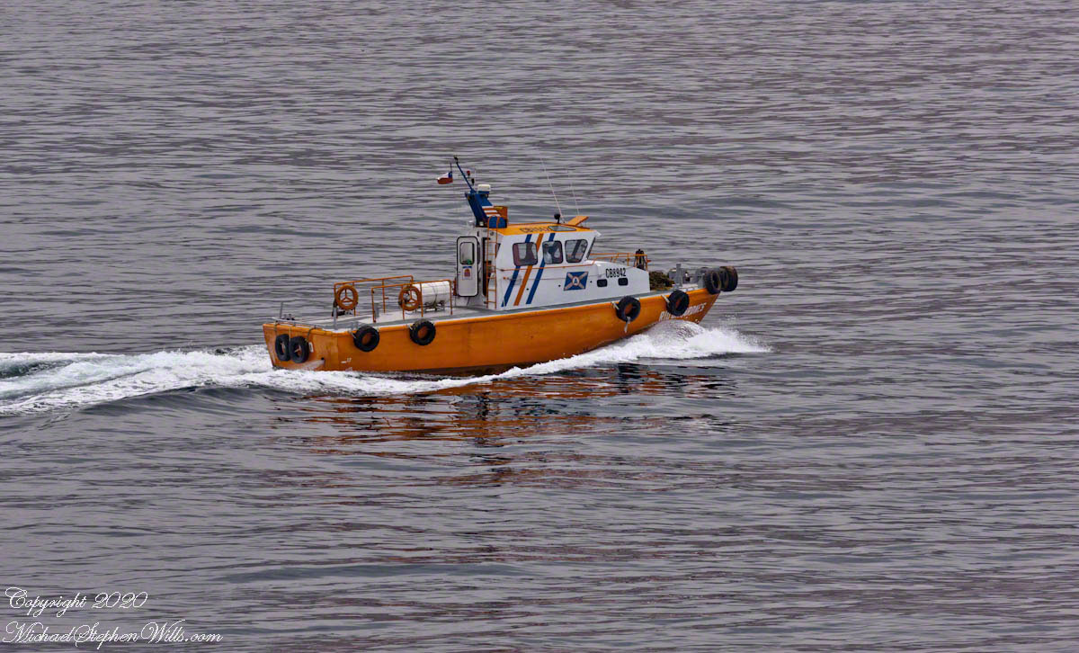
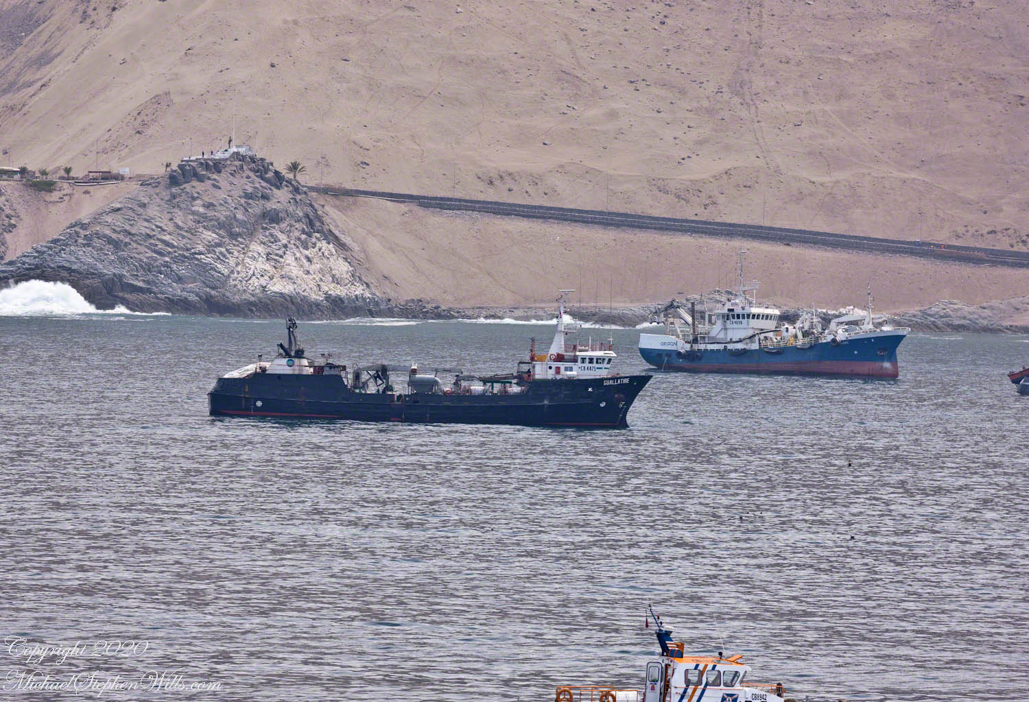
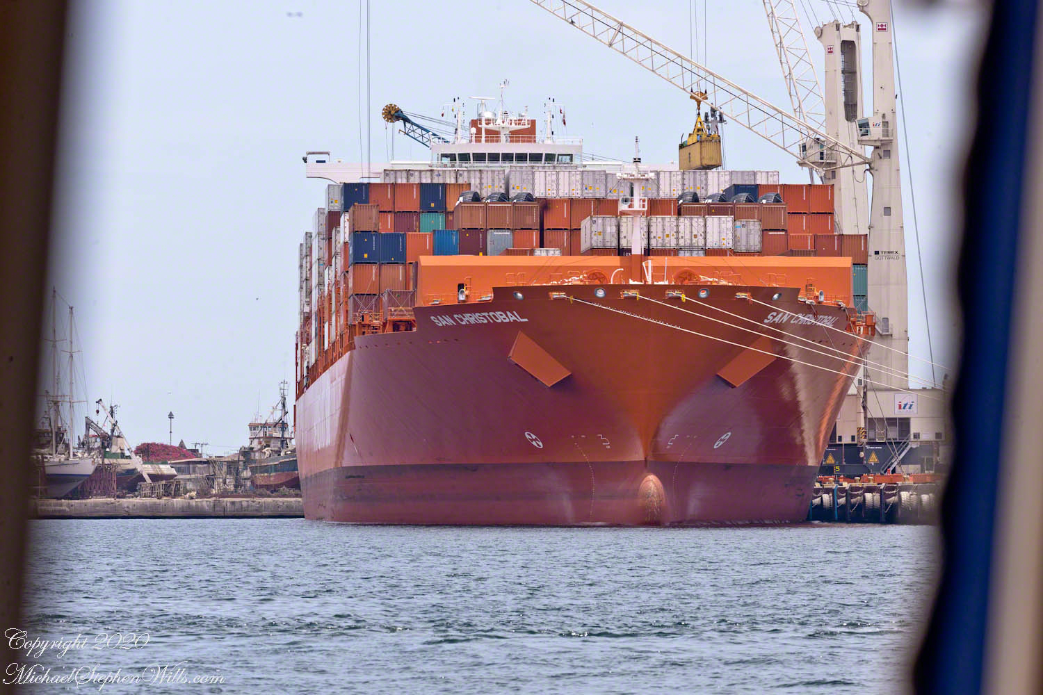
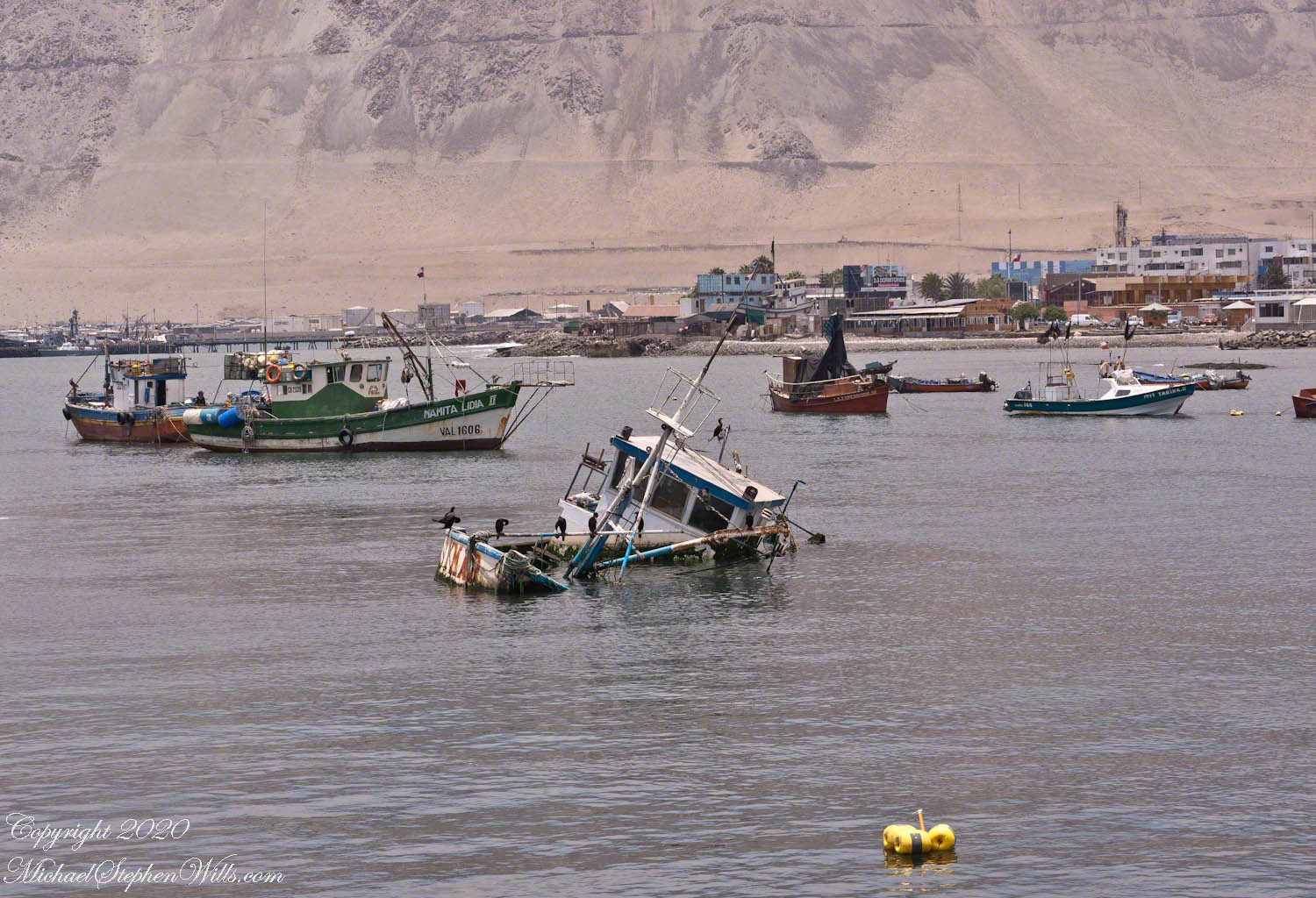
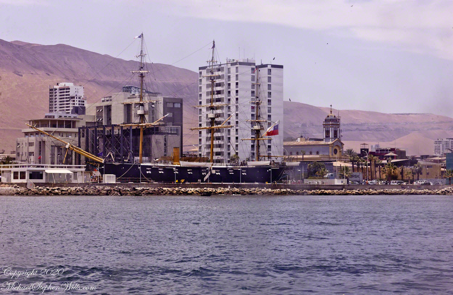
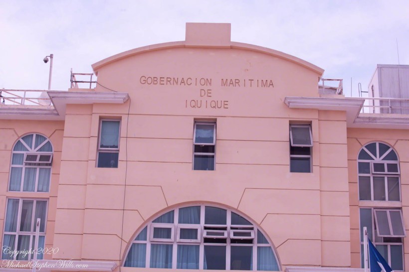
At the foot of the port island a Maritime Government building for the Iquique region. This and the other photographs of Iquique city were taken from the tour bus using a Canon dslr and the Canon EF 70 – 300 variable “zoom” lens.

Click any photograph for a larger view and use Ctrl-x to zoom in closer.

“Red, White and Blue” Note the brass ship’s bell on the left entrance column.

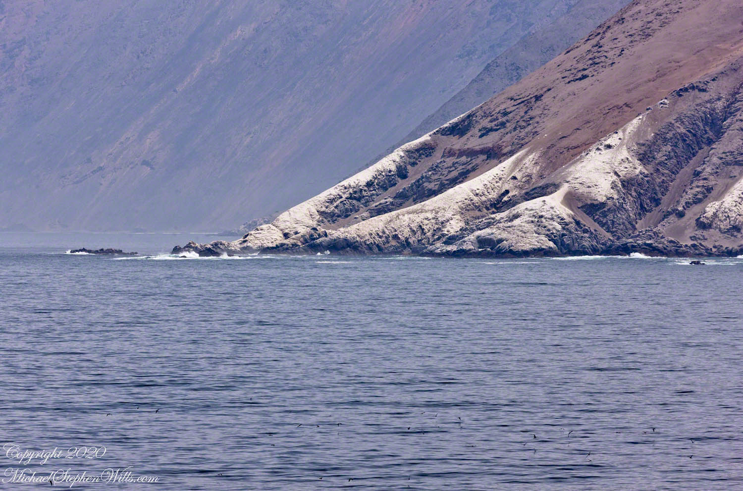
Shaped as it is, Chile needs an agency devoted to the coast. Littoral, the geographic term applied to this area of control. By definition of Chile it’s littoral begins “80 meters inland from the line of beach” to 200 miles from the point of low tide, a broad definition that works without too much conflict as, to the west, is the enormous Pacific Ocean. As with all countries there are interesting disagreements over maritime borders and rights at the borders. Chile and Argentina’s complex border in the far south among the islands and channels of Tierra del Fuego are legend.

“Flag of Chile” with two men on the steps clutching smart phones. Port security is apparent in the identification cards on lanyards.

Iquique is one of thirteen (13) Maritime Governorates. From north to south we can mention those of Arica, Iquique, Antofagasta, Coquimbo, Valparaíso, San Antonio, Talcahuano, Valdivia, Puerto Montt, Castro, Aysén, Punta Arenas and Navarino with the Chilean Antarctic Territory. Our cruise touches up, or passes through, all of them.

Facade

Larger than life busts of two Chilean heroes flank the entrance. We learned about Prat in an earlier post. While Captain Prat lost his life during the Battle of Iquique, Carlos Arnaldo Condell De La Haza, Captain of the schooner Virgen de Covadonga, escaped a larger and heavier gunned Peruvian ship, the armored frigate Independencia, sailing south.

Captain Condell, through tactics and seamanship, pinned the Independenia on a reef. The Covadonga blasted away until driven off by the monitor Huáscar. Condell went on to other naval successes and succumbed to illness at the young age of fourth four (44) years.

Click me for the first post of this series.

References

Wikipedia – “Carlos Arnaldo Condell De La Haza”

Click me for a spanish language pdf file on Chilean maritime governance.

Copyright 2020 Michael Stephen Wills All Rights Reserved

Kame = Pile

Kettle and Kame Topography

Hard on the defunct gravel pit of the northwest side of the preserve is the deposit of glacial rocks washed to some extent by melting ice the former owners of the pit were turning over for profit with the averted result of destroying the water sources for the ecosystems of the future preserve.

The deposit is called a kame. Kames are the obverse of kettles, formed with an enormous remnant of glacial ice melts in place leaving a substantial depression. A kame is formed when earth gathers in a depression formed by meltwater running over a glacial surface. When the glacier melts (in this area the ice wash a mile high), the washed earth is left as a steeply sided pile we experience as a hill.

Water flowing beneath glaciers forms the long, ridged hills, eskers, we explored in yesterday’s post.

The forested land of this video the kame, upper left, shown in the header, an IPhone7 photograph of GoogleEarth. Also marked is a path for the primary esker, the bog formed by a kettle and another kettle that is now a pond. Click me to view a pdf file saved from GoogleEarth. It provides a clearer view of the header image.

Click me for better experience viewing the following video. To do this from WordPress Reader, you need to first click the title of this post to open a new page. Note the replay icon (an arrow circling counter-clockwise.

Click Me for the first post of this series.

Thank You for visiting. Here is a recapitulation of Malloryville Preserve.

Copyright 2020 Michael Stephen Wills All Rights Reserved

Long, Ridged Hill

A Look at an Esker

Well formed, sinuous, graded on both sides, eskers can be mistaken for man-made earthen structures, such as railroad embankments. Here is an example, nine-tenths (0.9) of a mile long substantial enough to direct the flow of Fall Creek. On entering the Malloryville esker bed the stream makes a right angle turn.

Here we are at the foot of the primary esker of Malloryville Preserve (it is marked as such on the information placard of this series first post). The slope to the right is the esker. A swamp lies to the right.

This video provides a better feeling for this esker.

Click me for better experience viewing the following video. To do this from WordPress Reader, you need to first click the title of this post to open a new page. Note the replay icon (an arrow circling counter-clockwise.

Click Me for the first post of this series.

Copyright 2020 Michael Stephen Wills All Rights Reserved

Turtle Socks

Flowers from Mars

Two kettles of the preserve represent a pond and, below, a bog. Here is a photograph from the observation platform using the IPhone 7. I brought along the Canon dslr and 100 mm “macro” lens for the stars of this show…..

….purple pitcher plants (scientific name: Sarracenia purpurea). In past years, the central observation deck cut-out, hosted healthy pitchers. Today, invading high bush blueberries from the bog margin, crowded out the pitchers and the only flowering plant were among the grasses 8 to 10 feet away. My goal was photographing the extraordinary flowers.

Each flower rises from the base on a strong stalk. Here are the pitchers, also called “turtle socks”, flooded with sunlight.

A flower unlike any I have experienced, like the carapace of an insect, the reproductive element underneath a hood.

The posterior, there are only bracts.

I have, somewhere, macro images of the pitcher, with the downward facing hairs. Brought the wrong lens to capture this at a distance.

Click Me for the first post of this series.

Copyright 2020 Michael Stephen Wills All Rights Reserved

Flowing water

Water flowing from glacial till

Amazingly swamp, fen, bog, marsh can all be experienced during a thirty minute walk within this preserve. Here we are traversing a swamp …

…buoyed along on planking from recycled plastic.

The founders of this place, from a dairy farming family, strove for years to protect the water sources from encroachment by development, primary a duplicate of a gravel pit found on the other side of the Fall Creek valley.

This former acidic rainwater, percolating through glacial till, is buffered and chemically altered to create these multiform environments.

Water, flowing quietly, almost soundlessly, with powerful effect.

Click me for better experience viewing the following video. To do this from WordPress Reader, you need to first click the title of this post to open a new page. Note the replay icon (an arrow circling counter-clockwise.

Click Me for the first post of this series.

Copyright 2020 Michael Stephen Wills All Rights Reserved

Formed by Water

Overview

Let’s digress from our exploration of Iquique, Chile for this attraction local to the Finger Lakes Region of New York State, an environment diametrically opposed to the Atacama desert. The Preserve at Malloryville opened 1997, eleven years after we moved to our home our home on Fall Creek (see header photograph).

The correct name is the O.D. von Engeln Preserve at Malloryville. I knew this name from his Finger Lakes geology book obtained from the library and read closely in the early 1990’s. It helped me understand the landscape among which our home was set, in 5 minutes walking distance from the future location of the preserve.

The text from the above information placard at the preserve entrance says it all:“Wetland habitats are shaped by the water that supplies them: the amount, how it moves, and the minerals it carries. Malloryville’s eskers, kames and kettles control the rate of delivery of water to the surface and suffuse it with varied concentrations of minerals. As ground water bubbles to the surface at the base of these hills, distinctive wetland habitats form, each with its own unique community of plants. The preserve’s intense concentration of bog, fen, marsh and swamp habitats is the direct result of ground water moving through this unusually complex array of glacial features.

Before the preserve was opened I was familiar with the landforms described in the above placard. My son and I did his first camping on top of an esker outside our front door. We enjoyed hiking along Fall Creek.

To be continued…..

Copyright 2020 Michael Stephen Wills All Rights Reserved

Iquique first steps

On Dry Land

Our tour tickets and bus designation ( “number 2” ) firmly in hand, Pam and I walked the gangplank from the tender (see yesterday’s post), into the Iquique International Cruise terminal, then out to the sunshine to find out bus, following the crowd.

Click any photograph for a larger view and use Ctrl-x to zoom in closer.

Downtown High rises soar above downtown

Touring this way can feel link a rodent maze, it was not our feeling at all. The groups maxed at 15, the guides friendly and knowledgeable, the tour buses luxurious. We enjoyed ourselves immensely. Here we are, later that day, dressed for adventure.

Mike and Pam Wills on tour at the Pintados Geoglyphs, Tarapacá, Chile within the Atacama desert.

Our itinerary for the day is to navigate through the city, across the desert to visit a World Heritage Site, Humberstone, and ancient geoglyph sites, touching on local ecology.

Another view of the Cathedral of the Immaculate Conception among the downtown high-rises of Iquique.

Here is our tour, time to hop on the bus, get going.

Click me for the first post of this series.

Here is a slide show of our day so far.

Copyright 2020 Michael Stephen Wills All Rights Reserved

Iquique Tender Views

From Ship to Shore

Ninety minutes after docking our assigned tender pulled away from the Regatta for a twenty minute trip to Iquique. A tender is a boat with an enclosed seating area designed to transport about twenty persons in quiet waters from an anchorage to port. I recall the morning announcement from the ship Captain advising use the winds were high (or the waves), and he negotiated a mooring with the port, instead of the planned docking, in order to save our visit to Iquique.

Click any photograph for a larger view and use Ctrl-x to zoom in closer.

The approximate anchorage of the Regatta marked with a pushpin. The tender transported use from the Regatta to the base of the island port.

Above is a screen capture from Google Earth, the entire Iquique harbor is pictured from Punta Negra (see photo from yesterday) to the base of the island port connected to the mainland with a road. The tender port is at this base, on the shore side. If you wish, download the following PDF document with a clearer image. You will need a PDF viewer.

Shipping containers being unloaded from the container ship San Christobal.

Here are some of the sights visible from the tender. I recall sitting next to the large rear window. Above is the large red container ship. From earlier posts, the San Christobal is docked at the outer berth. The ship is being unloaded, you can see a yellow shipping container on the crane.

Today, aneconomic reason for Iquque’s prosperity is the status as a duty free zone the government dubbed “ZOFRI.” Another is tourists flocking to this “Miami of South America” for duty free shopping (there is a mall), the shore lined with tall hotels and condominiums. Adventure-seekers love the surfing and hang gliding from the escarpment.

Notice the fishing nets in the stern with yellow floats

This is the scene close to the tender port, past mooring for smaller fishing and other boats.

Replica of the Chilean navy ship Esmeralda sunk during the Battle of Iquique. It is a nautical “living museum.” From the website: “The museum script of the Museum ‘Emerald Corvette’ is represented by thirteen museum scenes that inspire the guided tour, where it was recreated what life was like on board on May 20, 1879, the day before the historic Pacific War day.” The Cathedral of the Immaculate Conception is to the right of the ship stern. Here is a previous post with more about the Esmeralda in historical context.

After disembarkation, I looked back for this shot of our tender pilot.

Click me for the first post of this series.

Copyright 2020 Michael Stephen Wills All Rights Reserved

Flight

Dried and Hardened, Ready for Flight

Clinging to my sleeve, the newly emerged Monarch wings dried. It is a process of excreting the fluids pumped into wings, crumpled from folding within the chrysalis, to expand them. The clear drips of water on my arm are this fluid. I spent the hour sitting by our pool, savoring the summer morning. The butterfly signaled readiness, wings dried and hardened, opening and closing them slowly. Offered my finger it crawled to my hand, across to the thumb and, running out of space, took off.

Click photograph for a larger view and use Ctrl-x to zoom in closer.

Pre-flight Wing Flaps

Click me for better experience viewing the following video. To do this from WordPress Reader, you need to first click the title of this post to open a new page. Note the replay icon (an arrow circling counter-clockwise.

Click me for better experience viewing the following video. To do this from WordPress Reader, you need to first click the title of this post to open a new page. Note the replay icon (an arrow circling counter-clockwise.

First Flight

Ninety minutes later, I returned to the tree to find the Monarch still perched on the branch. A few minutes later, gone.

I used the IPhone 7 for these views..

Thank You for visiting.  Click me for the first post of this series.

Copyright 2020 Michael Stephen Wills All Rights Reserved

Distended

Fully open, soft and useless

Emerged from the chrysalis a butterfly’s wings are crumpled, useless. Here it is fifteen minutes into freedom after abdominal fluid is pumped into the wings, opening them. Full of this fluid, the wings are soft, still useless.

Click photograph for a larger view and use Ctrl-x to zoom in closer.

Click me for better experience viewing the following video. To do this from WordPress Reader, you need to first click the title of this post to open a new page. Note the replay icon (an arrow circling counter-clockwise.

I used the cage access door and the IPhone 7, with flash, for these views inside the cage.

Thank You for visiting.  Click me for the first post of this series.

Copyright 2020 Michael Stephen Wills All Rights Reserved