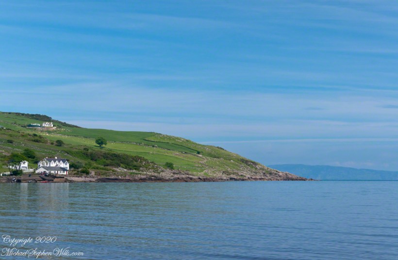
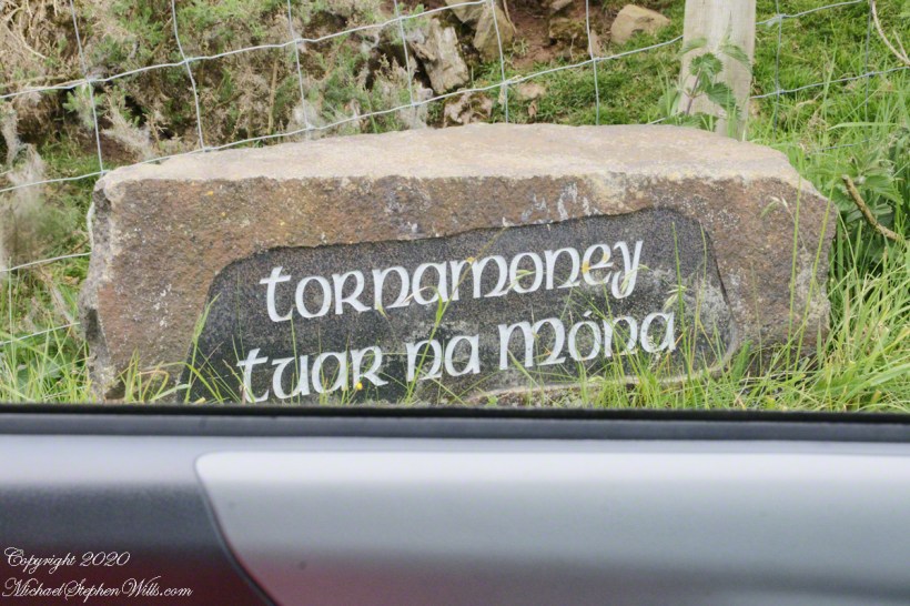
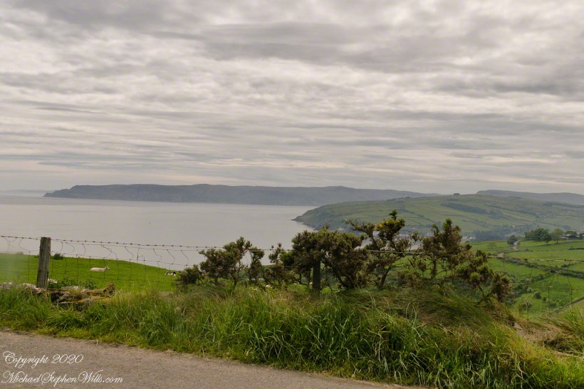
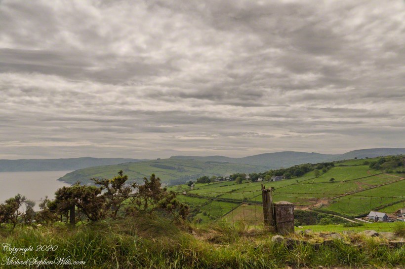
North is a glimpse of land across the water, a reason Cushendun was a ferry port since ancient times: the Mull of Kintyre across the North Channel. The ridge to the sea is townland Tornamoney (Irish Tor na monadh).
Click photograph for a larger view. To do this from WordPress Reader, you need to first click the title of this post to open a new page.
Copyright 2020 All Rights Reserved Michael Stephen Wills
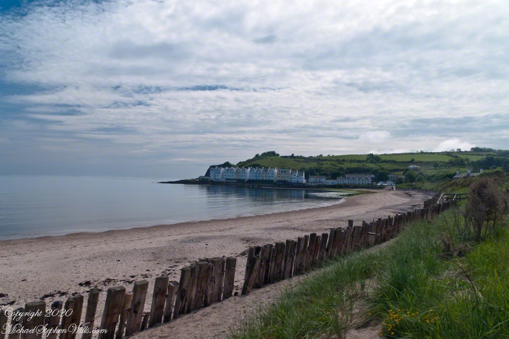
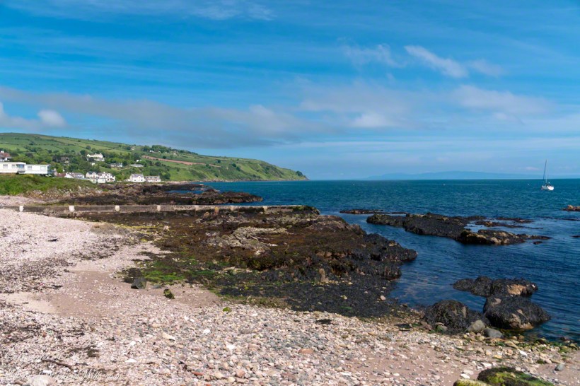
Standing on the beach at Cushendun village, looking west towards the glens. The Antrim coast is notable for the rising tablelands of broad, eroded valleys, or glens.
Click photograph for a larger view. To do this from WordPress Reader, you need to first click the title of this post to open a new page.
SONY DSC
Copyright 2020 All Rights Reserved Michael Stephen Wills
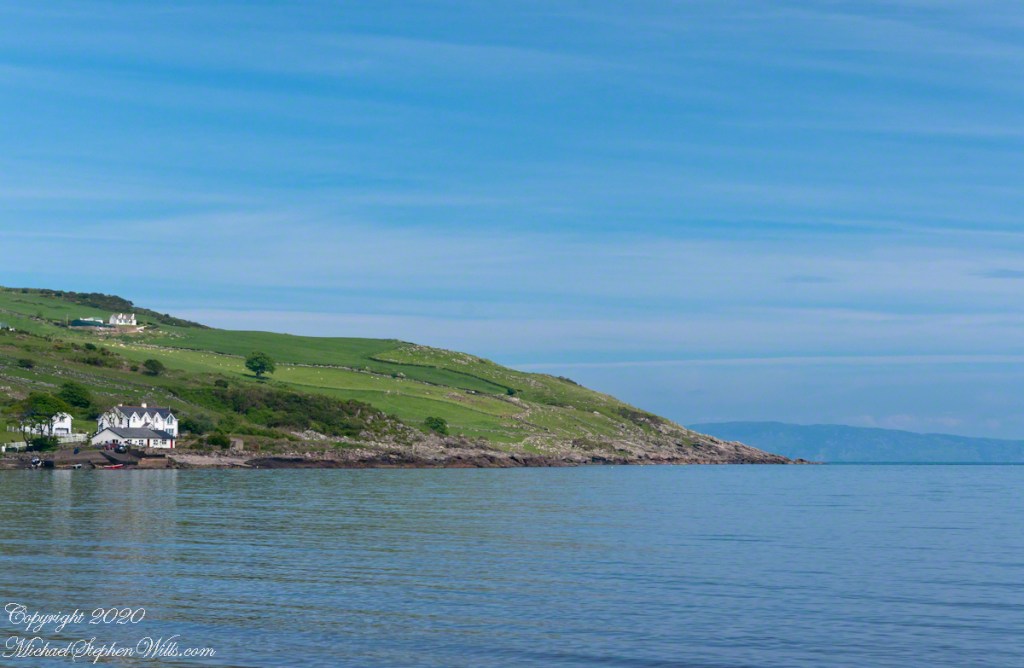
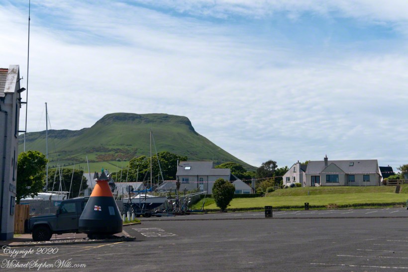
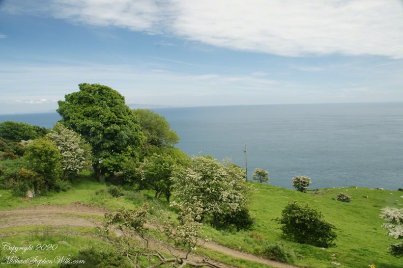
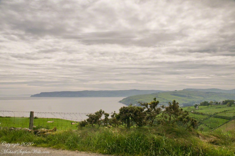
Here is a view of our route to Torr Head standing on the beach at Cushendun, facing north. The village name in Irish is Cois Abhann Doinne, meaning at the foot of the river Dun, the land here and bay formed by the outflow of rivers from the glens.
Click photograph for a larger view. To do this from WordPress Reader, you need to first click the title of this post to open a new page.
Copyright 2020 All Rights Reserved Michael Stephen Wills
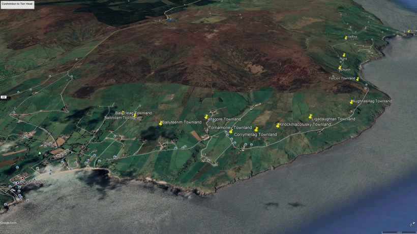
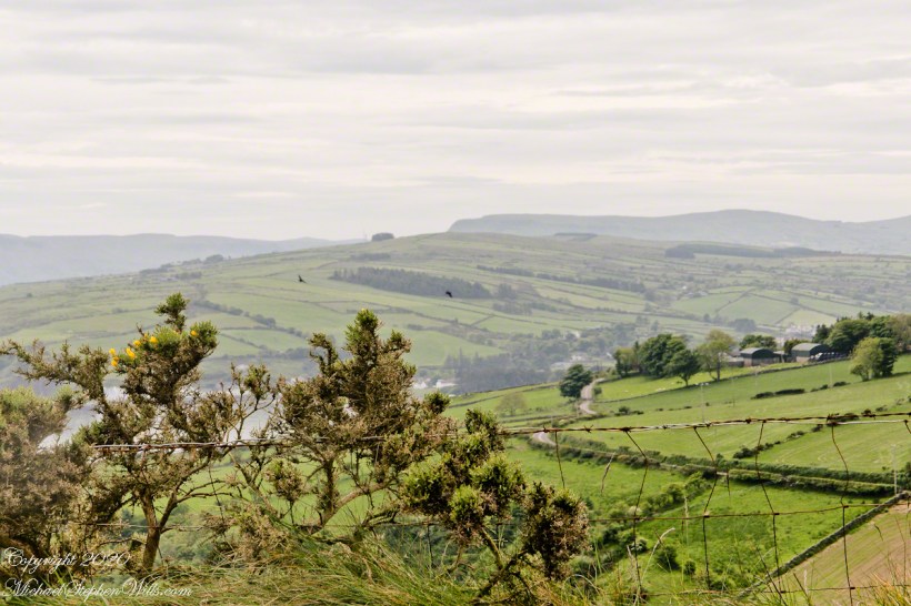
In 3.1 miles Torr Road passes nine townlands between Cushendun and Torcorr Townland, each with a namestone holding the Irish and Anglicized name. We can walk it in an hour at a steady pace, the terrane is sliced up so.
Click photograph for a larger view. To do this from WordPress Reader, you need to first click the title of this post to open a new page.
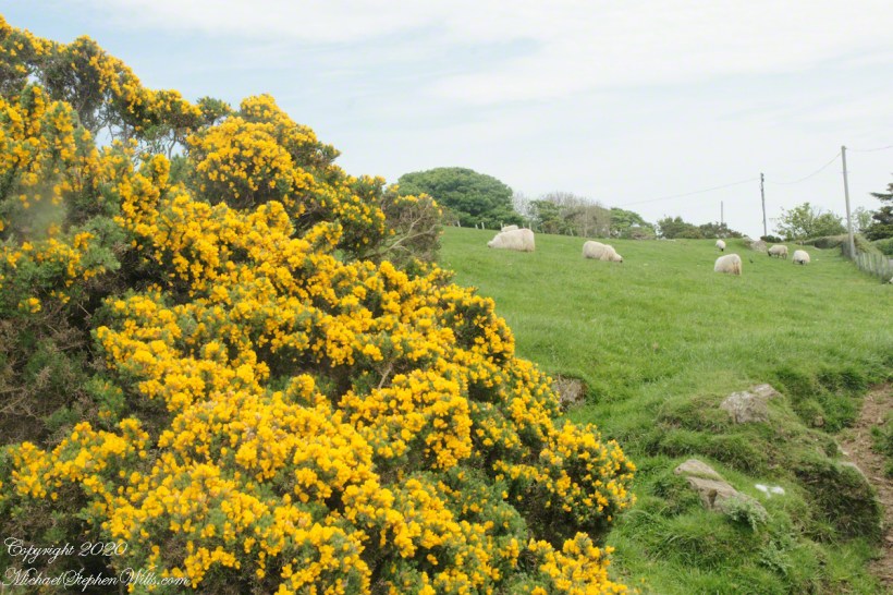
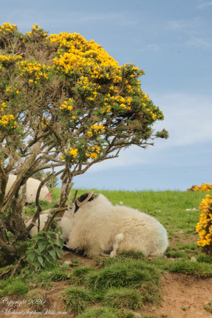
Whin Bush in flower
Tornamoney townland is “Cattle Field of the Bogland.” That is the car door, foreground.
SONY DSC
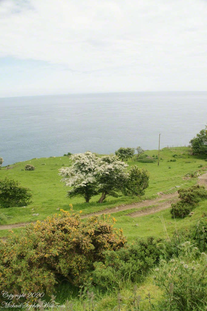
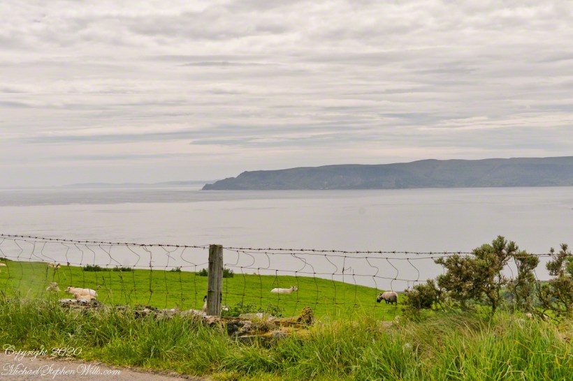
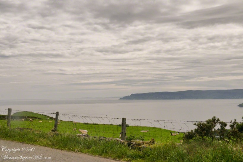
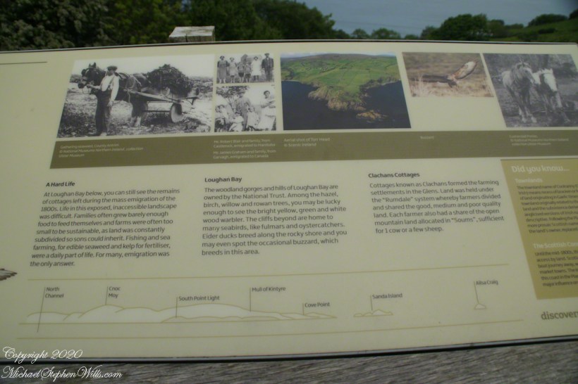
Common to all was the slope down to the North Channel.
SONY DSC
SONY DSC
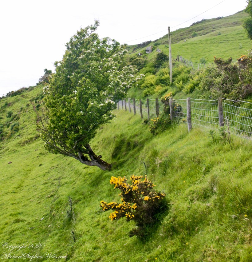
Rowan Tree directional growth from a constant east wind..
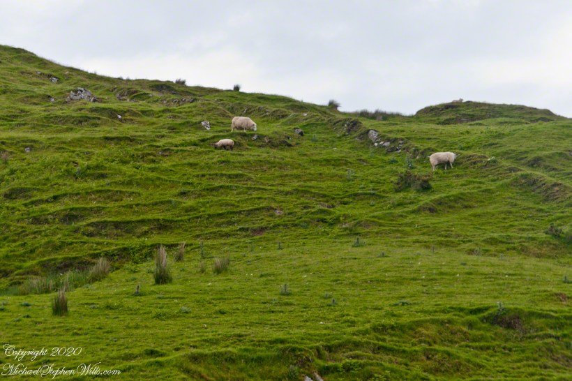
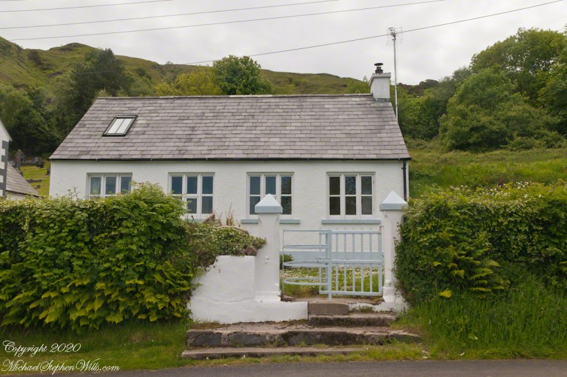
Sheep pasture above the Loughan Cottage ruins.
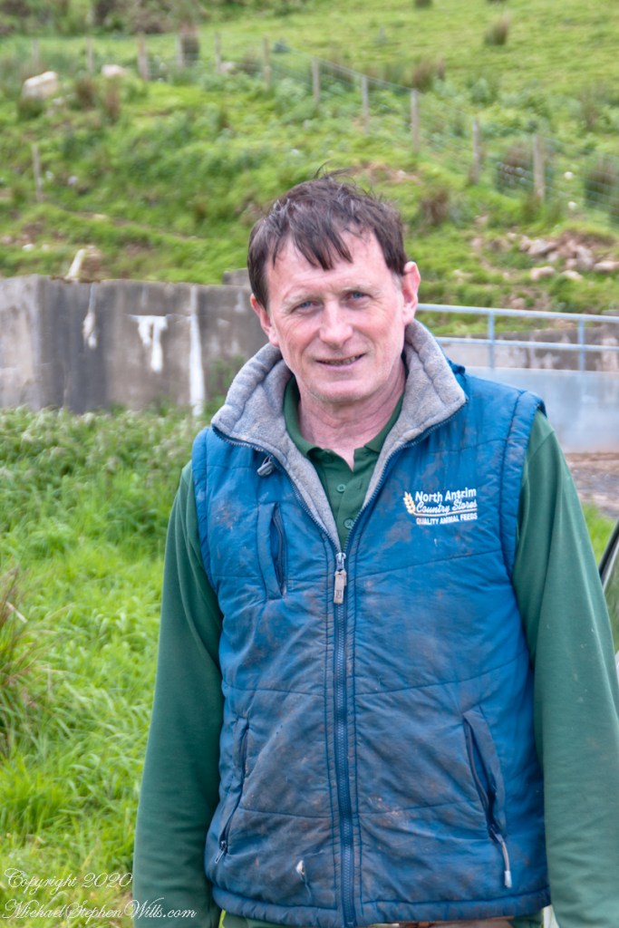
Here is the friendly owner who climbed off his tractor for a chat with Pam while I photographed.
SONY DSC
Here is a slideshow of this post’s images. To visit from WordPress Reader, you need to first click the title of this post to open a new page.
SONY DSC
Copyright 2020 All Rights Reserved Michael Stephen Wills
Torr Road passes nine townlands between Cushendun and Torcorr Townlands, each with a namestone holding the Irish and Anglicized name. Here are a few interesting names.
Click photograph for a larger view. To do this from WordPress Reader, you need to first click the title of this post to open a new page.
“Ballindam” is derived from the Irish “Baile an tdam”, the Anglicization is the sounding out of Irish. Baile is “town” and “an tdam” is on the dam.
Headed uphill, the next is “Ballycleagh”. Bally is the English pronunciation of Baile. I found “cleagh” on Google translate under “Scots Irish” for “Well.” So, this is the town of the well.
Here is a sheep lookout at the aptly named, Alt gabhair townland, Irish for “Goat Section.” Otherwise known as Altagore.
Here is a slideshow of this post’s images. To visit from WordPress Reader, you need to first click the title of this post to open a new page.
Copyright 2020 All Rights Reserved Michael Stephen Wills
Click photograph for a larger view. To do this from WordPress Reader, you need to first click the title of this post to open a new page.
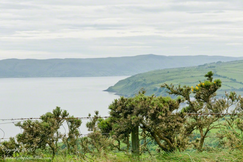
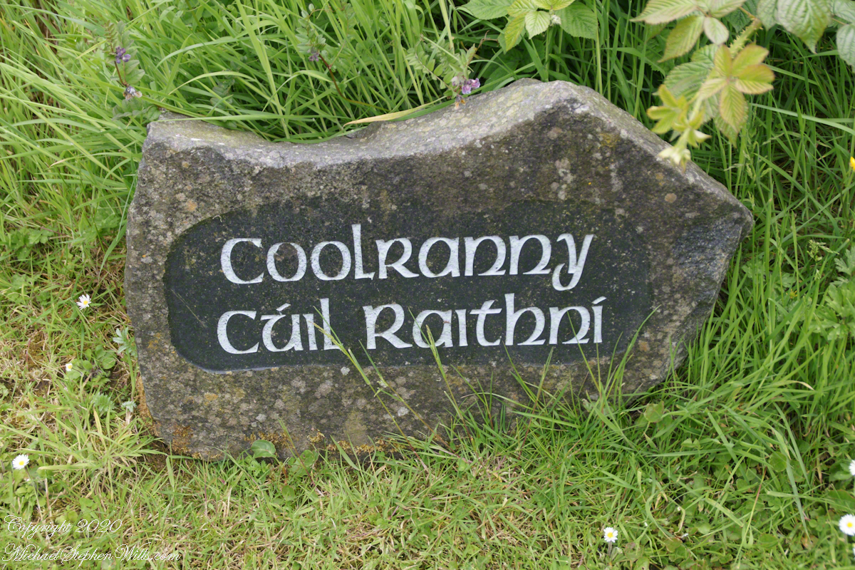
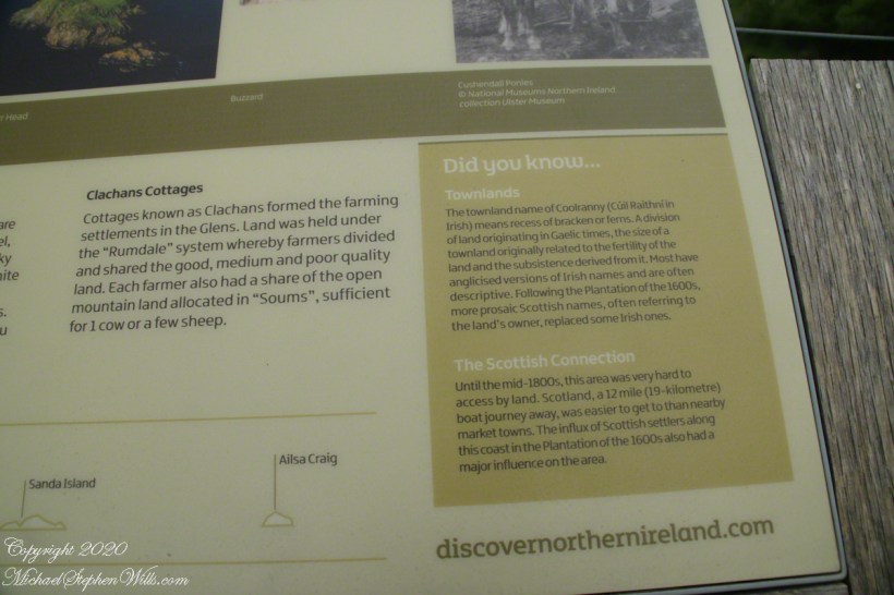
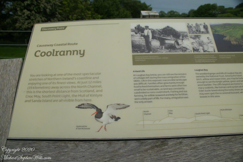
The words carved on this namestone are from ancient Irish language with “Cuil” (a recess) and “Raithni” (possessive case of the noun for bracken, a type of fern). In other words, recess of ferns. The anglicized name, “Coolranny,” is the untranslated sound of the Gaelic place name.
The road to Coolranny starts at the foot of Glendun, Cushendun village. Here is the view over Cushendun and its sheltered harbor as Torr road climbs in a series of switchbacks to Torcorr townland.
Here is a slideshow of this post’s images. To visit from WordPress Reader, you need to first click the title of this post to open a new page.
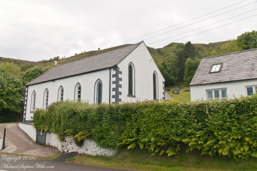
Found along Torr Road in Coolranny townland.
Copyright 2020 All Rights Reserved Michael Stephen Wills
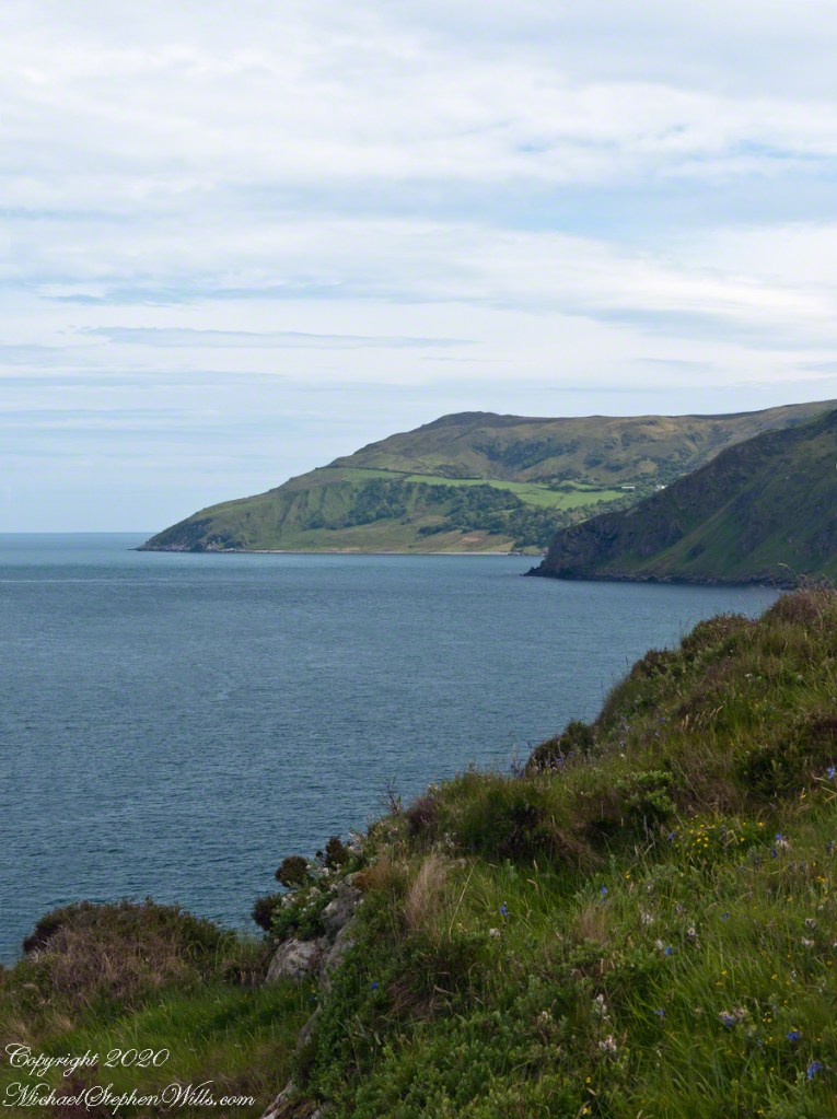
Standing on Torr Head the sights, every direction, overwhelmed the senses. With the camera I was able to capture views even today are coming into my understanding.
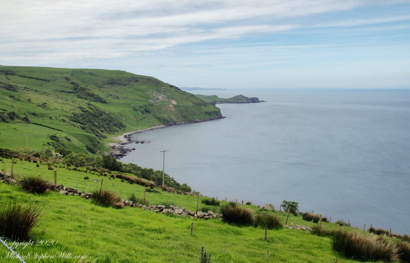
Tor in Irish is a steep rocky height. Likewise, Corr means odd, uneven, rounder, convex, curved, peaked, projecting, smooth. Combined, Torcorr is the townland where we stopped on the Torr Road, halted by our wonder at this sight. This photograph looks toward the vantage from which the previous photograph was taken, Torr head.
Looking toward Torr Head from Torcorr Townload, across Loughan Bay
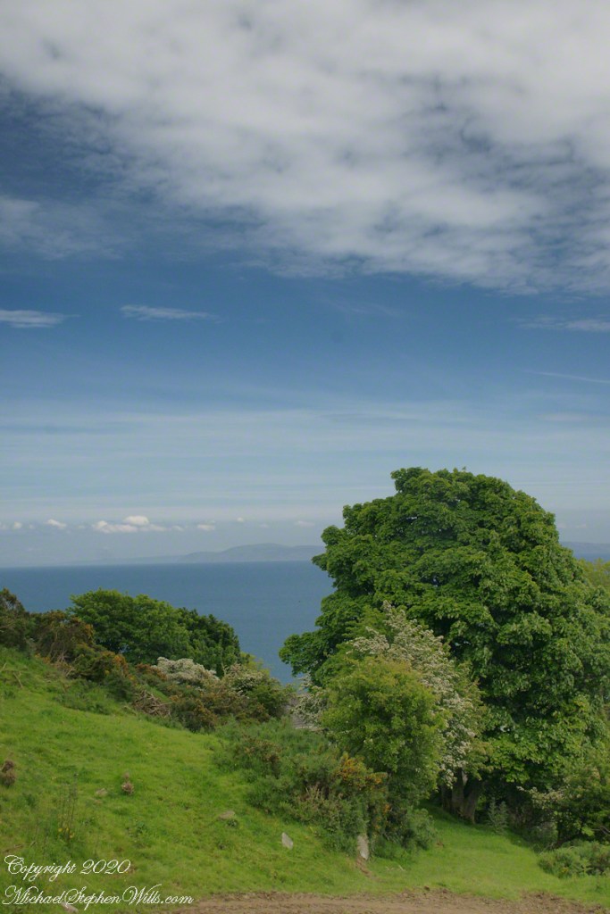
In the distance, Torr Head projects into North Channel, the closest land to Scotland. Following the coast, the unnamed point in front of Torr Head is home to numerous sea birds such as Fulmars (family Procellariidae) nad Oystercatchers (family Haematopodiadae). Along the rock beaches next Eider Ducks (genus Somateria). You might see the Common Buzzard (species Buto buteo).