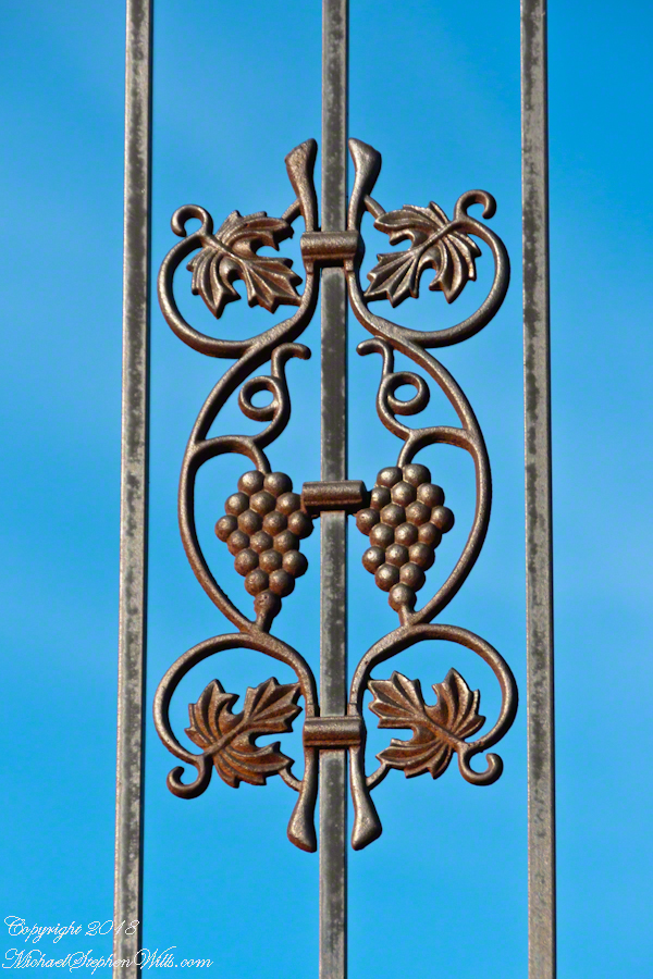
A storage building fashioned into an overlook, just off South Pulteney Road, Route 76, as the road climbs the hillside. This cast iron decoration graces the fence around the roof. The building is built into the hillside, one edge level with the ground.
As far back as I can remember, over thirty years, yet unmarked on maps, this building and view has been part of the experience of Keuka Lake. During that time, the fence was erected to protect us. The place symbolizes the gracious hospitality of the Finger Lakes Region.
I caught this feature during an outing to Dr. Frank Winery, just a ways up the road, one day of an unusually cold early December.
Copyright 2021 Michael Stephen Wills All Rights Reserved
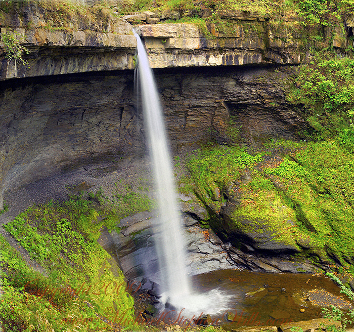
Under a crystal blue September sky, my wife and I climbed into the gorge of Bear Swamp Creek to the foot of this waterfall past the site of a distillery where, years ago, locals used to frequent using a “jug path.”
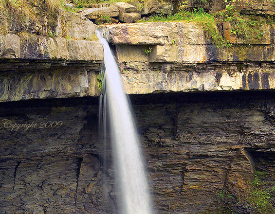
The creek is strictly protected as part of the water source for Syracuse, flowing from the Skaneateles Highlands past historical villages such as “New Hope.” Before merging with Skaneateles Lake, the creek traverses this 90 foot fall, call Carpenter Falls.
You need to climb the steep slopes of the gorge for this unobstructed view.
It is even possible to climb to the ledge behind the water. Standing on the ledge, the stream passes 50 feet overhead. It is a lovely view down the gorge in all seasons.
Click photograph for a larger view. To do this from WordPress Reader, you need to first click the title of this post to open a new page.
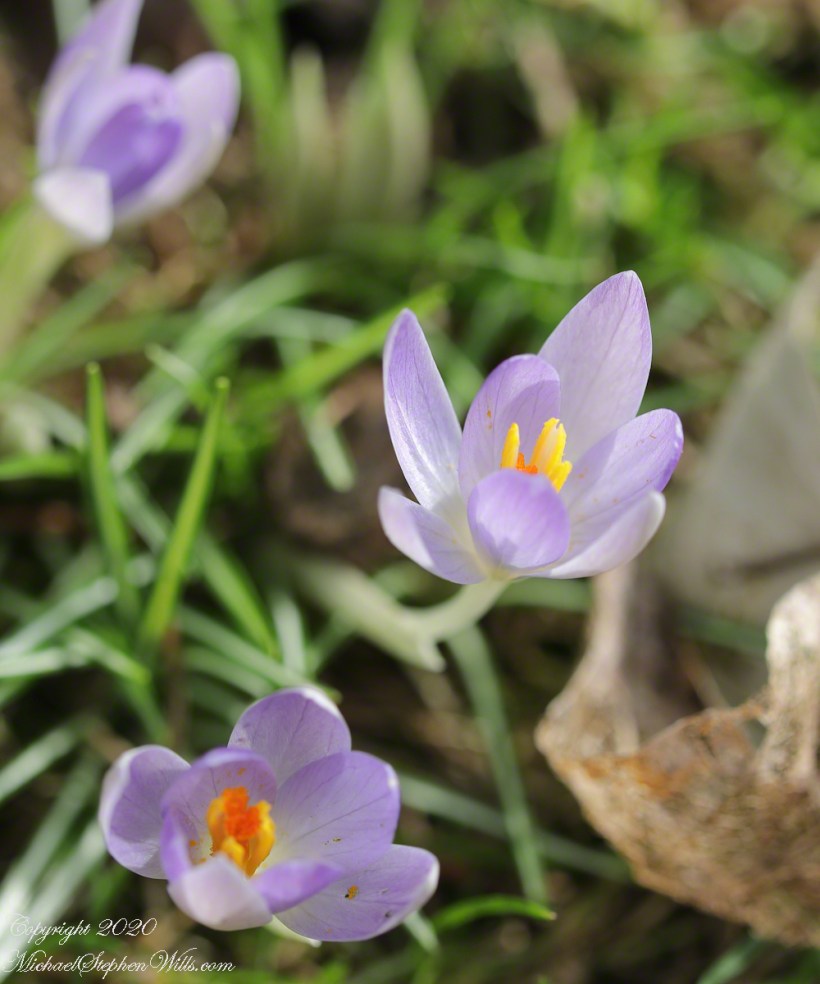
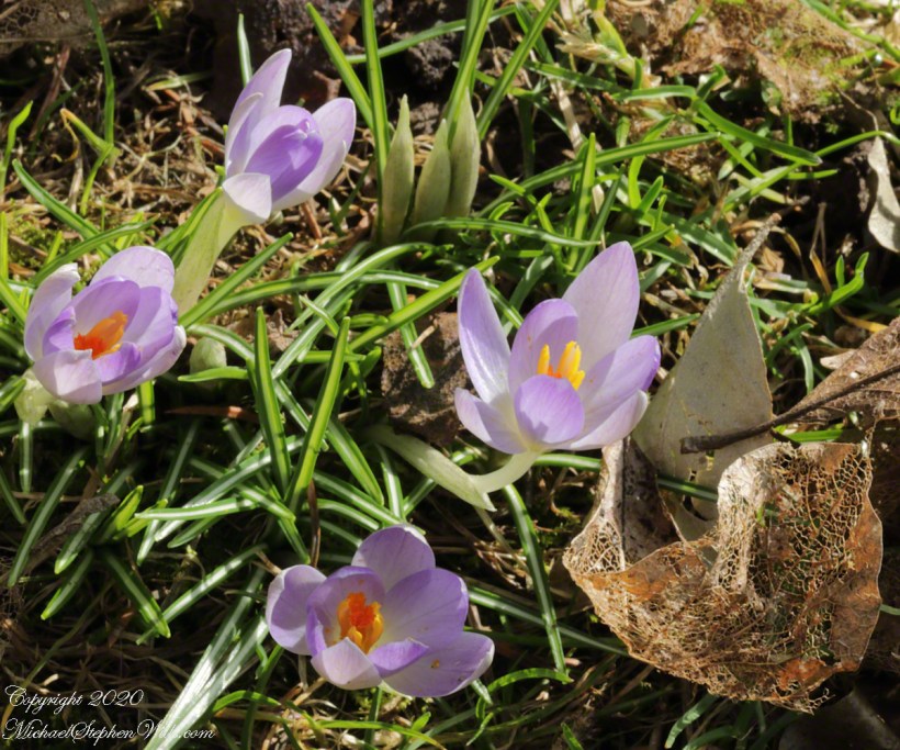
A tripod held the composition steady and the timer was set to 2 seconds for extra stability. With the leaf body worn away by time, the remaining veining turns the form lacy.
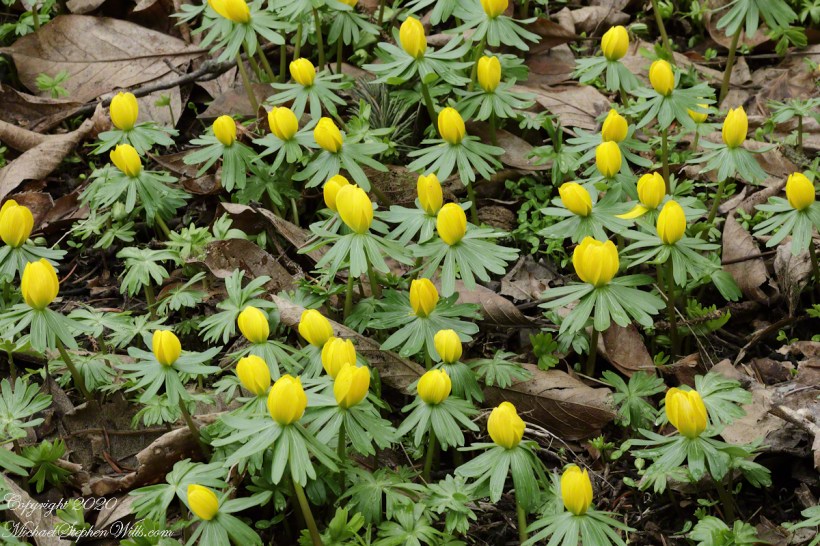
Here is a slideshow today’s and previous wildflowers.
Copyright 2021 All Rights Reserved Michael Stephen Wills
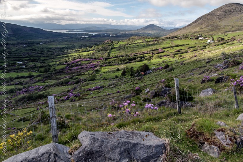
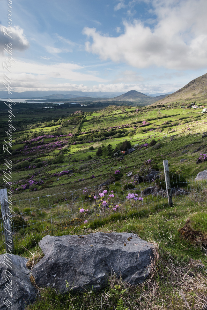
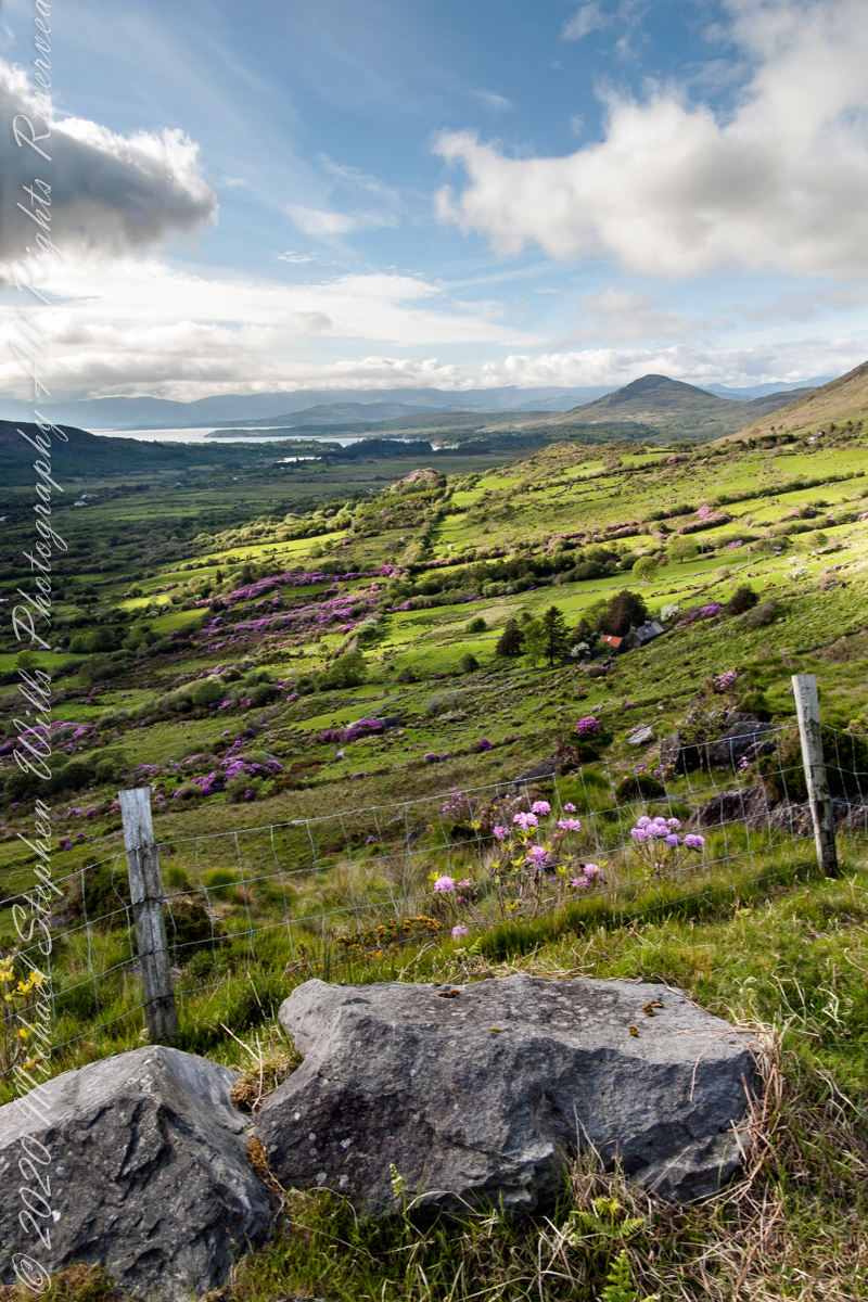
Number four of six from the Kerry County side on the descent Healy Pass, R574. Here I turn the camera on the Manfrotto studio tripod with hydrostatic ball head to the original view, a little less lit with a better leveling of the horizon.
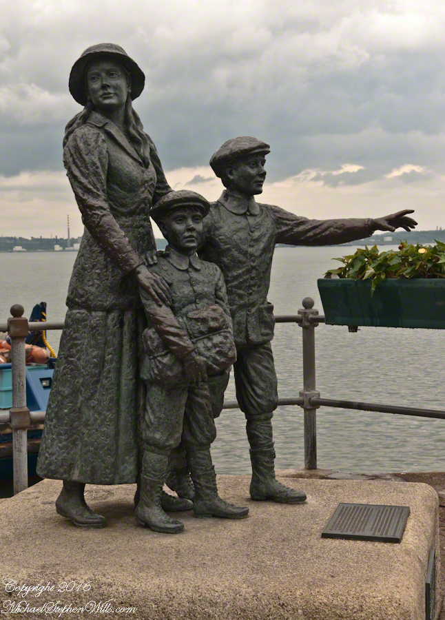
On May 29, 2014, Pam and I had the emotionally moving experience of visiting the Cóbh Heritage Centre. This statue stands outside the centre, on the quay from which thousands of Irish emigrated from what was then Queenstown. My father’s mother, Elizabeth Wills née Duffy, departed from here on April 28, 1898.
These are the words on the plaque:
‘Annie Moore and her brothers, Anthony and Phillip, embarked from this town on December 20, 1891, on the S.S. Nevada. Annie was the first person to be admitted to the United States of America through the new immigration center at Ellis Island, New York, on January 1, 1892. This sculpture was unveiled by the President of Ireland, Mary Robinson, on February 9, 1993. It was erected by Cóbh Heritage Trust Ltd. and is dedicated to all who emigrated from Ireland. This sculpture won the Zeneca Ireland Ltd. Commemorative Sculpture Award. A statue of Annie Moore was also erected at Ellis Island, New York. The commemoration of Annie Moore at New York and at Cóbh was initiated by the Irish American Cultural Institute. This sculpture is the work of Jeanne Rynhart of Bantry.'”
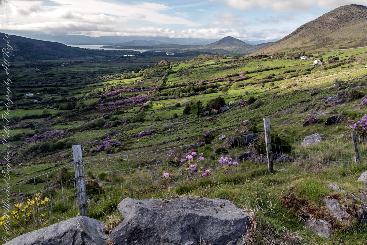
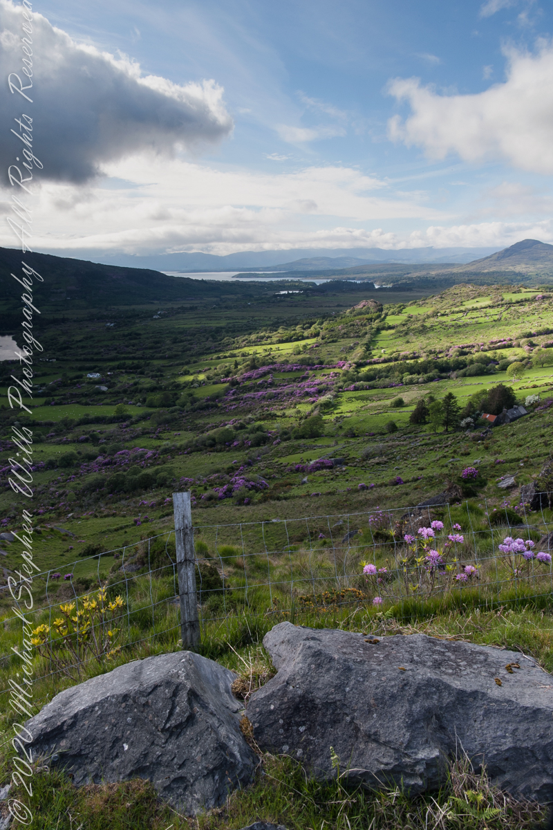
Number three of six from the Kerry County side on the descent Healy Pass, R574. I turned the camera a few more degrees into the gathering darkness, under the cloud, for an almost complete view of Glanmore Lake.
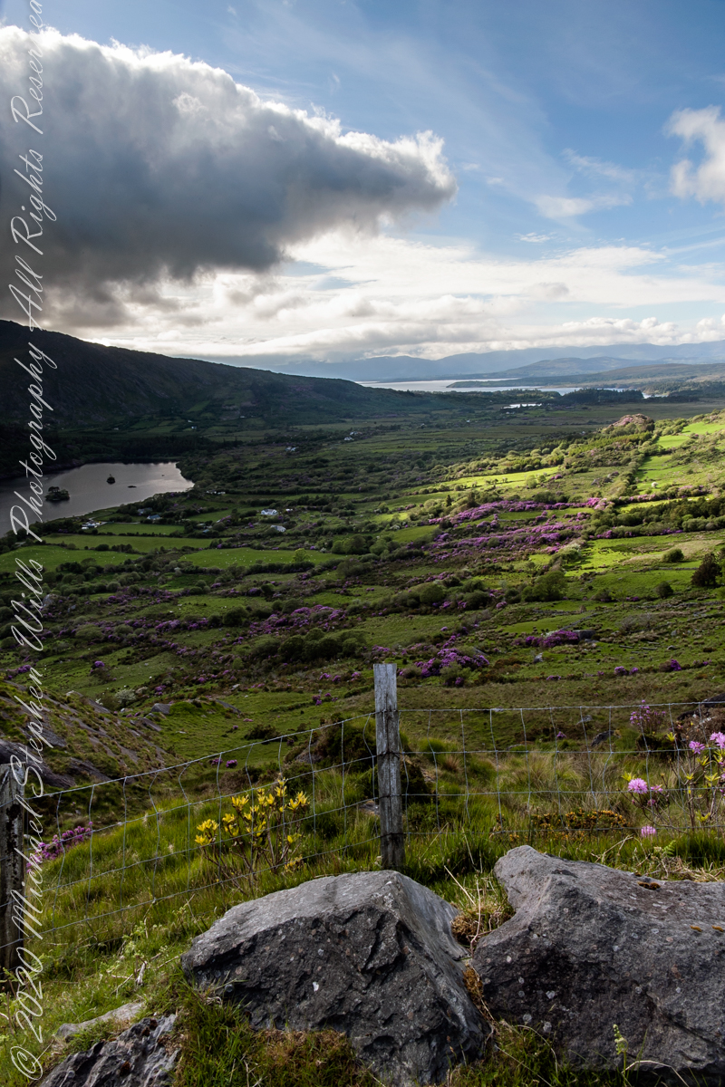
Number two of six from the Kerry County side on the descent Healy Pass, R574. The dynamic range is a photographic challenge: the scene darkens as a cloud covers the westering sun, I turn the camera toward Glanmore Lake. The large, distant water is a bay on the North Atlantic named for the city at the foot, Kenmare.
Beara Peninsula, Coolcreen townland, County Kerry, Republic of Ireland.
You can easily view a higher resolution versions by clicking on the photograph to open a browser tab.
Click photograph for a larger version.
Copyright 2021 Michael Stephen Wills All Rights Reserved
Number one of six from the Kerry County side on the Healy Pass, R574, descent. You can see the turnout we are using on the road below in this photograph Kerry View Seven. We have not travelled far, still in Coolcreen townland.
There is a fort in Beale and it is supposed to be the principal resort of the fairies. One day as two men were drawing hay from Slios near Caill na calman, one went through the fields as it was shorter than to go by the road, and his brother drove the horse by the road to Slios. As he was passing this fort, a little boy came out of it and ran after the car and sat into it. When they were gone a short distance he offered the man some sweets but he refuse to take any. None of them spoke anymore until they arrived in Slios. Again the little boy offer the sheets to the second man who went through the fields. But his brother went behind the little boy’s back and grinned at the other man not to take the sweets, because he was about to take them. At this the little boy went into the fort and they saw him no more. Background: a fort, or rath, is a grassy, round mound. By emerging from the rath, the boy is identified as one of the Others (“fairies”). Accepting and consuming a foodstuff or beverage from the Others puts a human under their control. The second man did not know where the boy came from and was warned away by his companion, otherwise the story would be much longer.
Beara Peninsula, Coolcreen townland, County Kerry, Republic of Ireland.
You can easily view a higher resolution versions by clicking on the photograph to open a browser tab.
Click photograph for a larger version.
Copyright 2021 Michael Stephen Wills All Rights Reserved
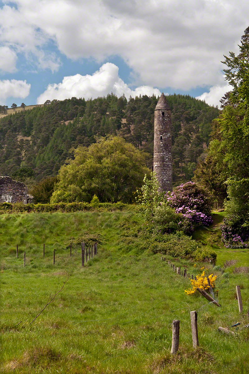
Cloigtheach is the Irish language name for a round stone tower. The word’s literal meaning is “Bell House.” This fine example of mica slate and granite is found in the Glendalough valley of County Wicklow, Ireland.
The sun was past noon when we arrived at this glacial valley of the Wicklow mountains. In the few hours available I shot the tower from numerous angles and chose this because the tower is placed in the larger natural environment, viewed as a singular object apart from the monastic city the tower is placed among.
Saint Kevin founded a monastic settlement within Glendalough valley almost 1,500 years ago, in the late 6th century A.D. As a religious center the monastery flourished for 600+ years, becoming a monastic city. Destroyed by English forces in 1398, it was disestablished at that time. Still, Glendalough served as a pilgrimage destination through the intervening centuries. The surviving buildings date from the 10th through 12th centuries.
Rebuilding and restoration efforts began 1876, including the roof of this tower using original stones. At 30.48 meters (100 feet) tall the Cloigtheach of Glendalough is the landmark by which the site is known.
Enter your email to receive notification of future postings. I will not sell or share your email address.
Copyright 2025 All Rights Reserved Michael Stephen Wills