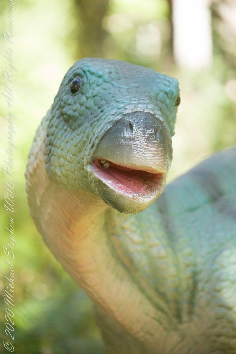
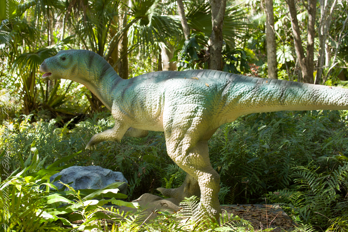
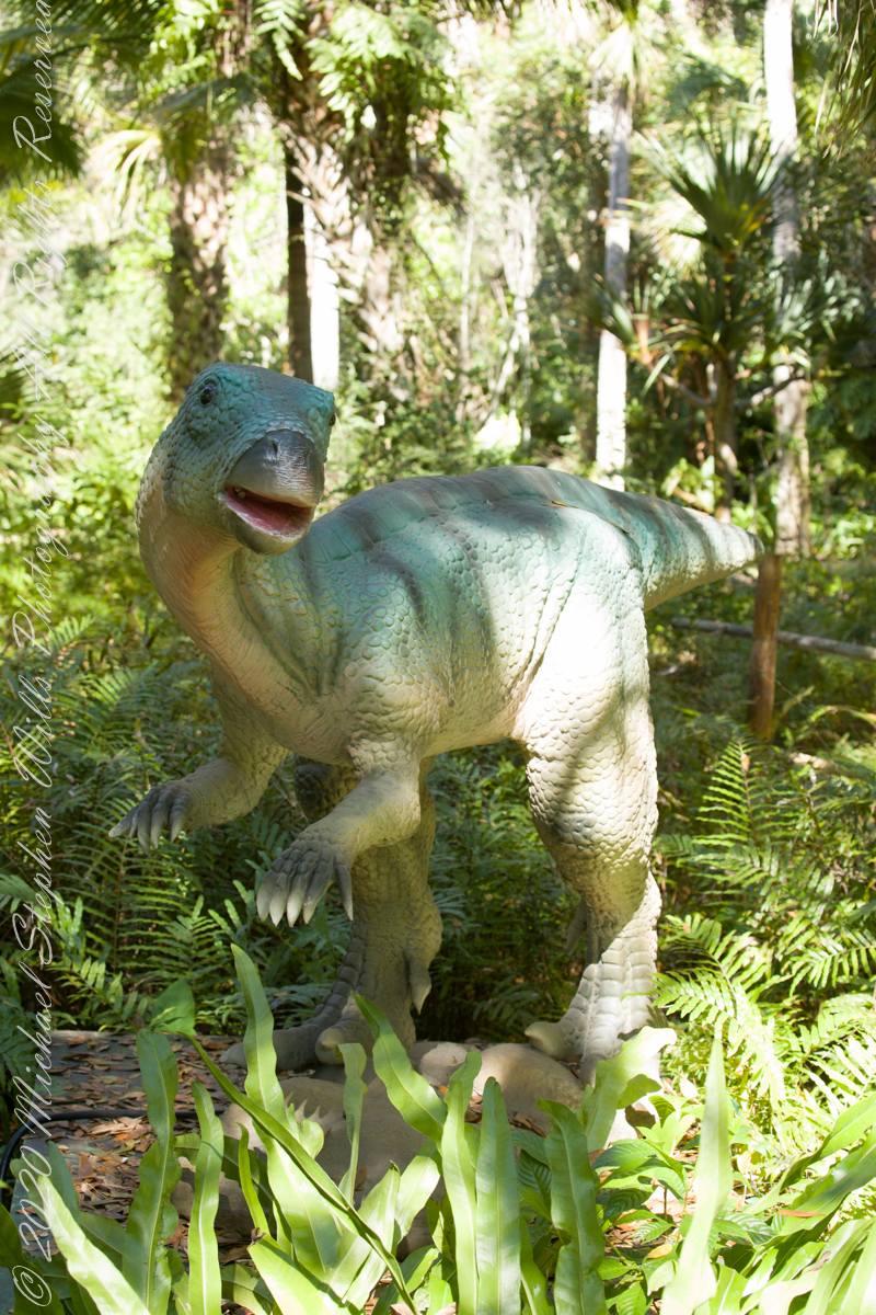
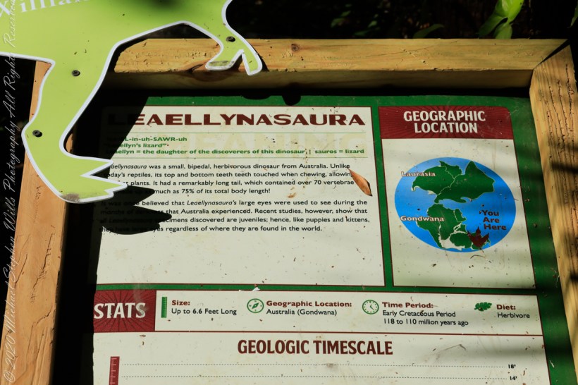
Baellynasaura was a small, bipedal, herbivorous dinosaur from Australia. Unlike today’s reptiles, its top and bottom teeth touch when chewing, allowing it to consume plants. It had a remarkably long tail, which contained over 70 vertebrae, as much as 75% of its total bodyt length. It is believed Leaellynasaura’s large eyes were used to see during the long nights that Australia experienced. Recent studies, however, show that these specimens discovered are juveniles; hence, like puppies and kittens, their eyes are large regardless of where they are found in the world.
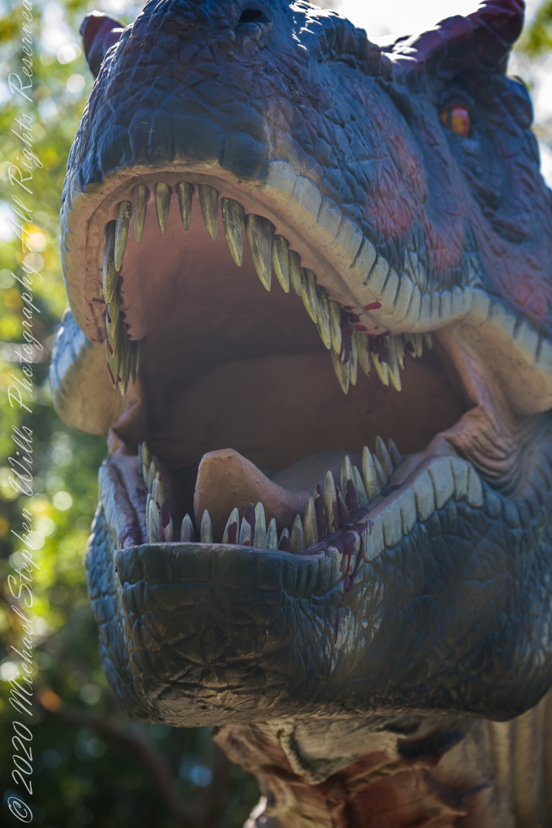
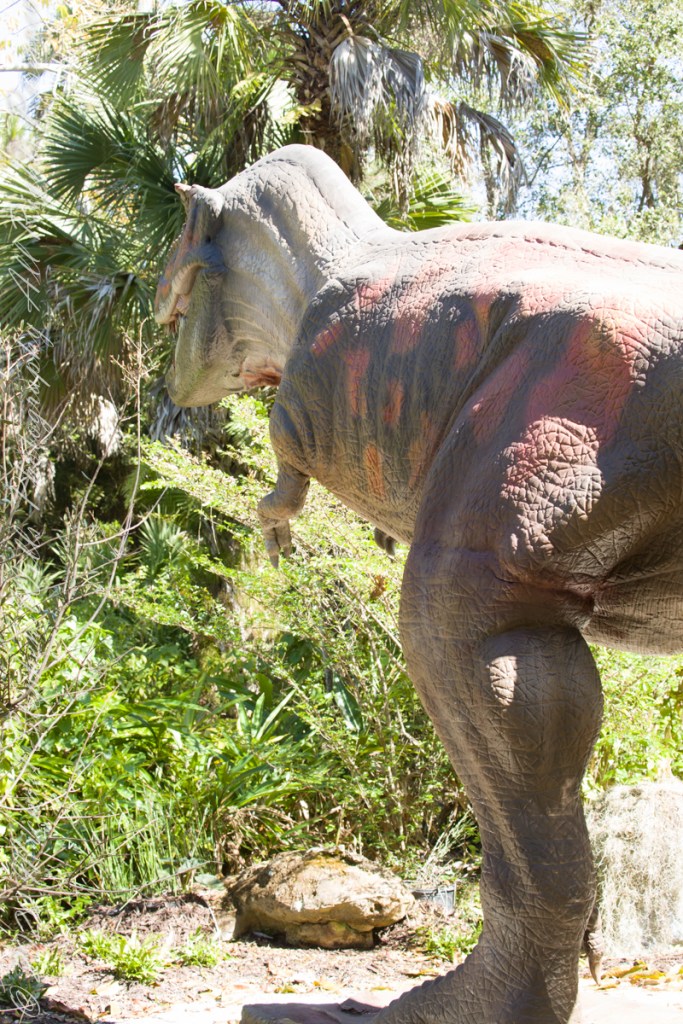
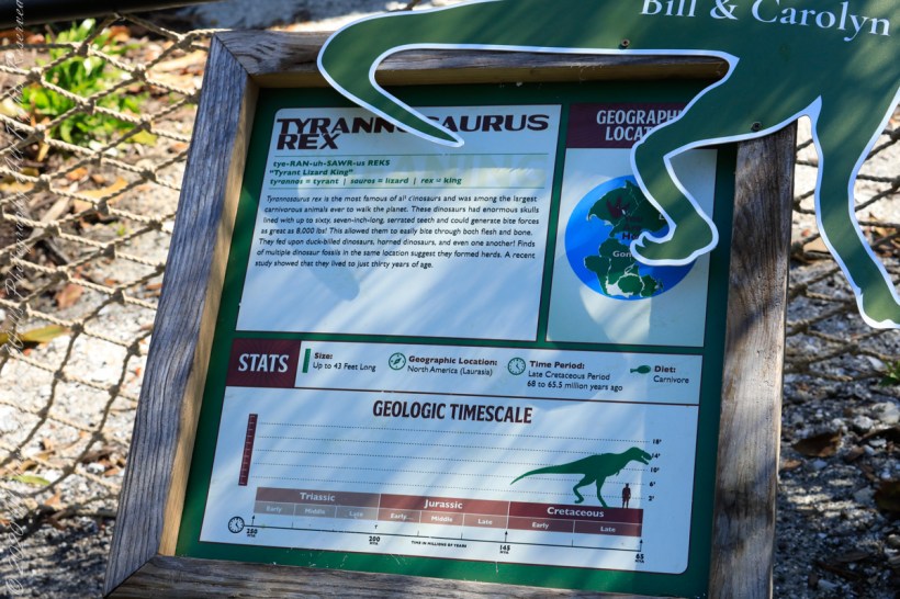
Tyrannosaurus Rex, the most famous of all dinosaurs, was among the largest carnivorous animals ever to walk the planet. Tyrannosaurus Rex had enormous skulls lined with up to sixty, seven-inch long teeth and could generate bite forces as great as 8,000 pounds. This allowed them to easily bite through both flesh and bone. They fed upon duck-billed dinosaurs, horned dinosaurs and even one another. Finds of multiple dinosaur fossils in the same location suggest they formed herds. A recent study showed that they lived to just thirty years of age.
Thank goodness humans never shared the environment with “The Rex.”
pure terror
References: text is from the park placard with minor edits.
Copyright 2022 Michael Stephen Wills All Rights Reserved
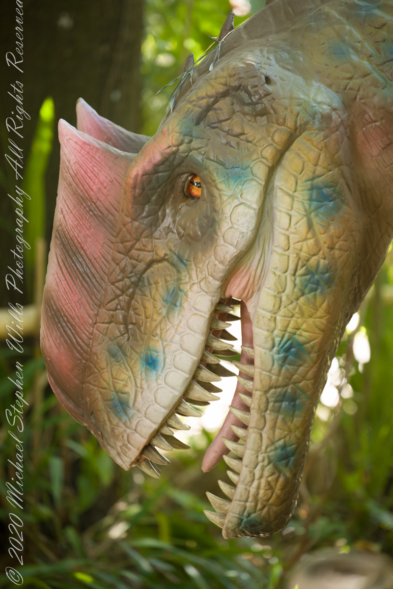
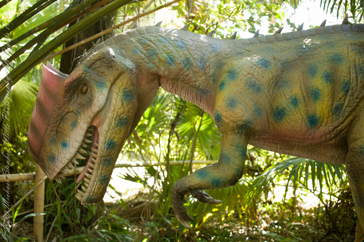
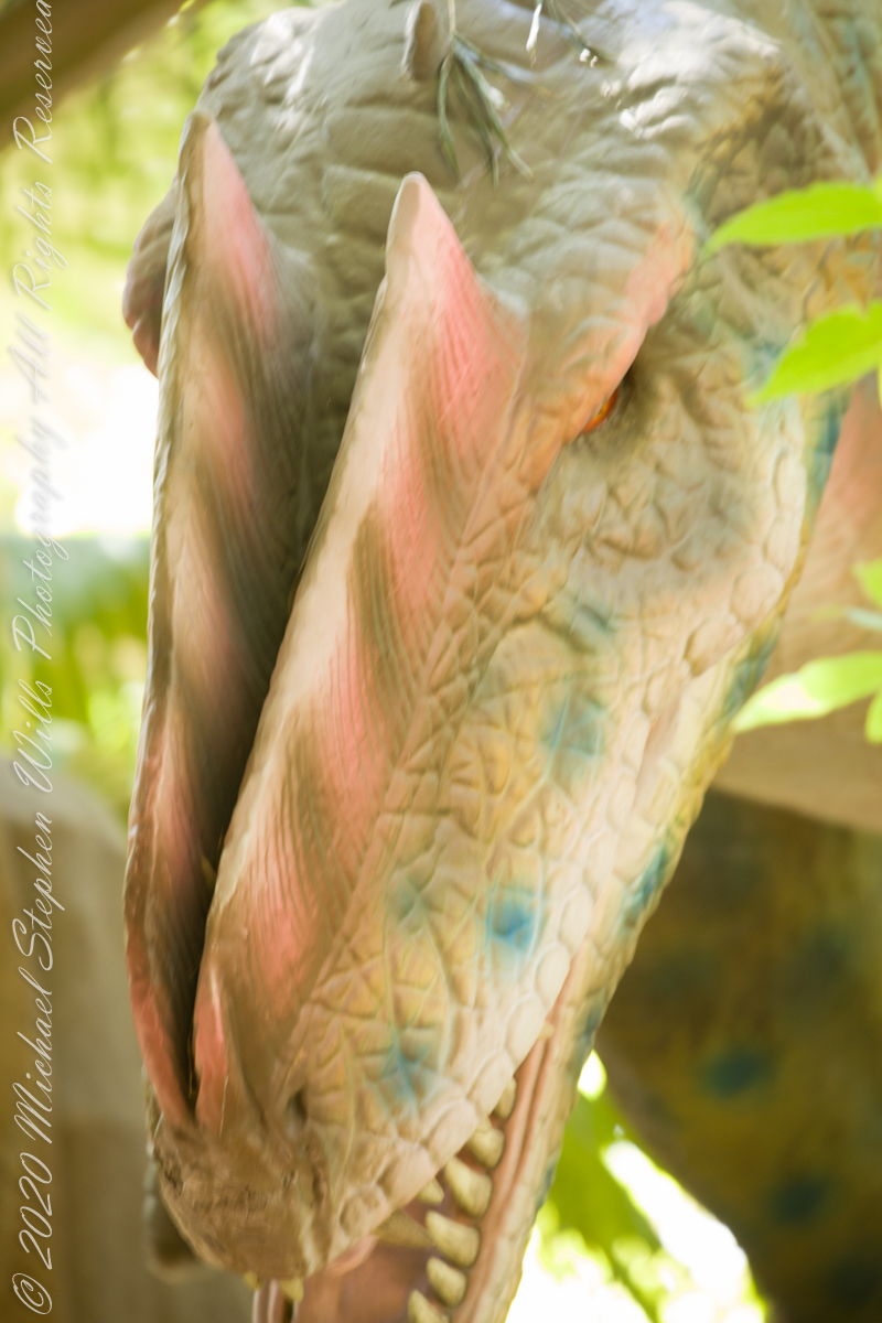
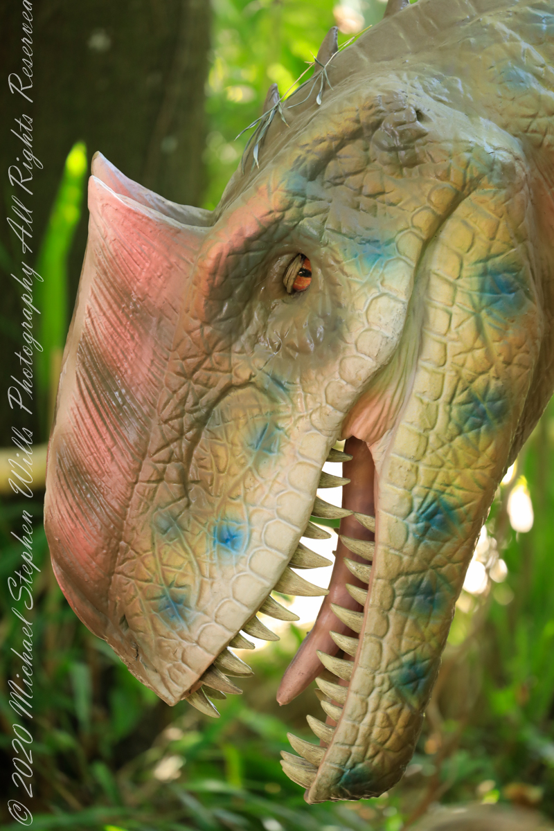
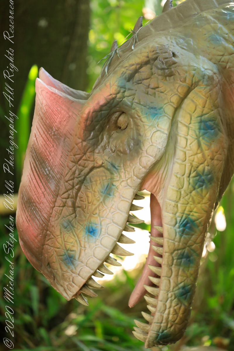
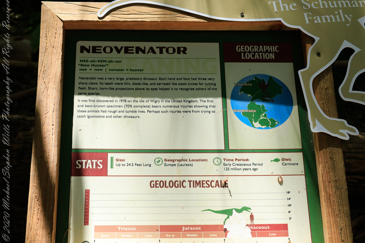
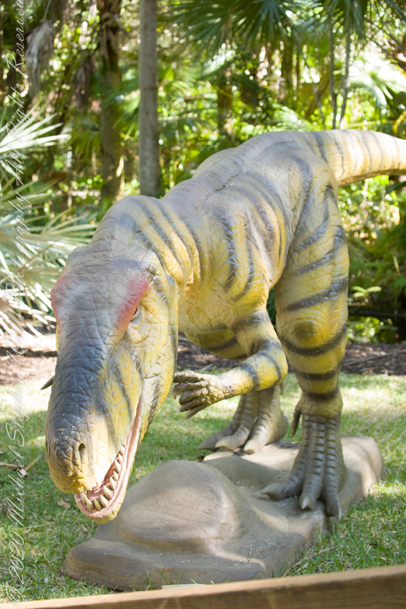
Neovenator was a very large, predatory dinosaur. Each hand and foot had three very sharp claws. Its teeth were thin, blade-like, and serrated like steak knives for cutting flesh. Short, horn-like projections above its eyes helped to recognize others of the same species. First discovered in 1978 on the Isla of Wight, United Kingdom. The fist and best-known specimen (70% complete) bears numerous injuries showing that these animals had rough and tumble lives. Perhaps such injuries were from trying to catch Iguanodons and other dinosaurs. Neovenator is derived from the latin words for “now” and “hunter.”
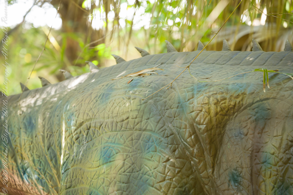
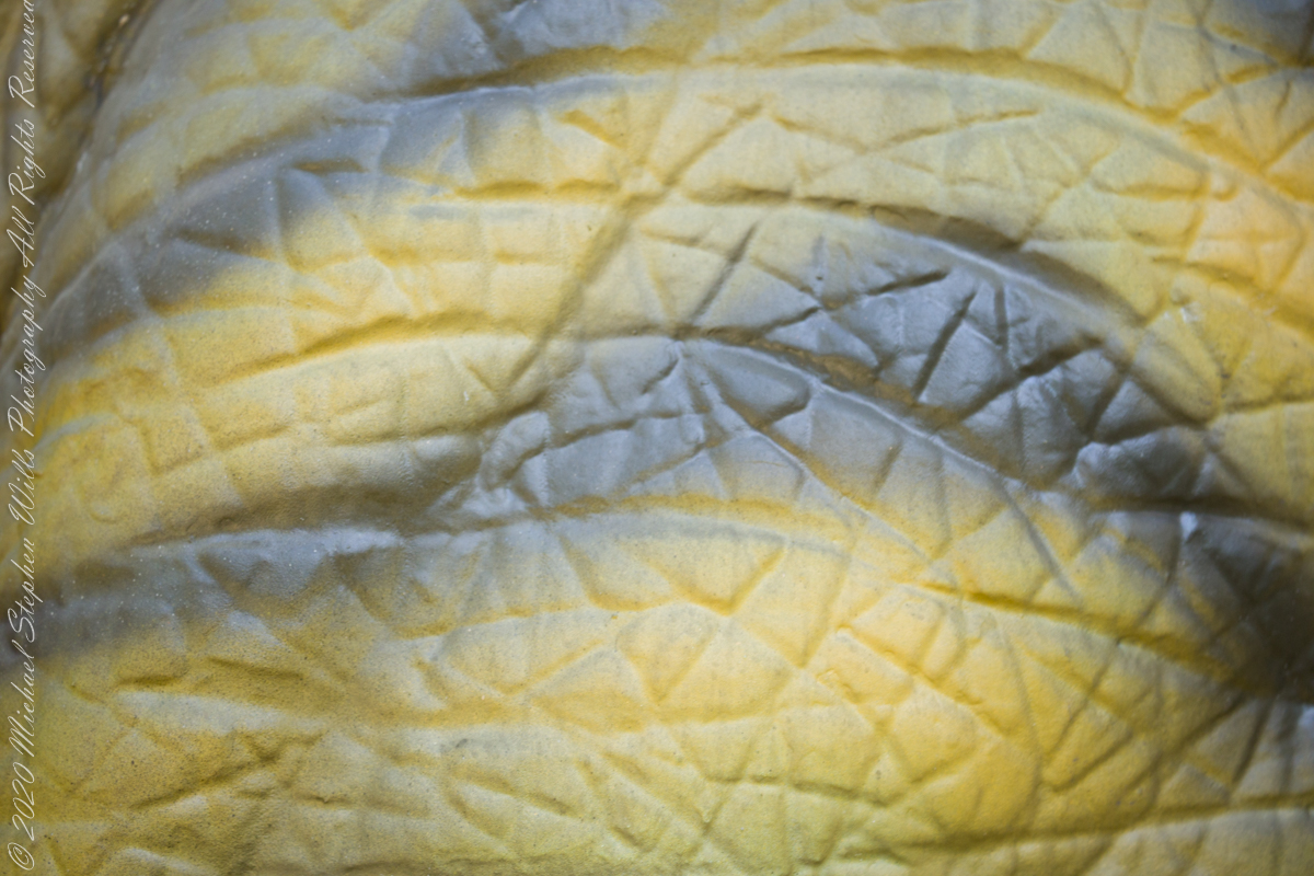
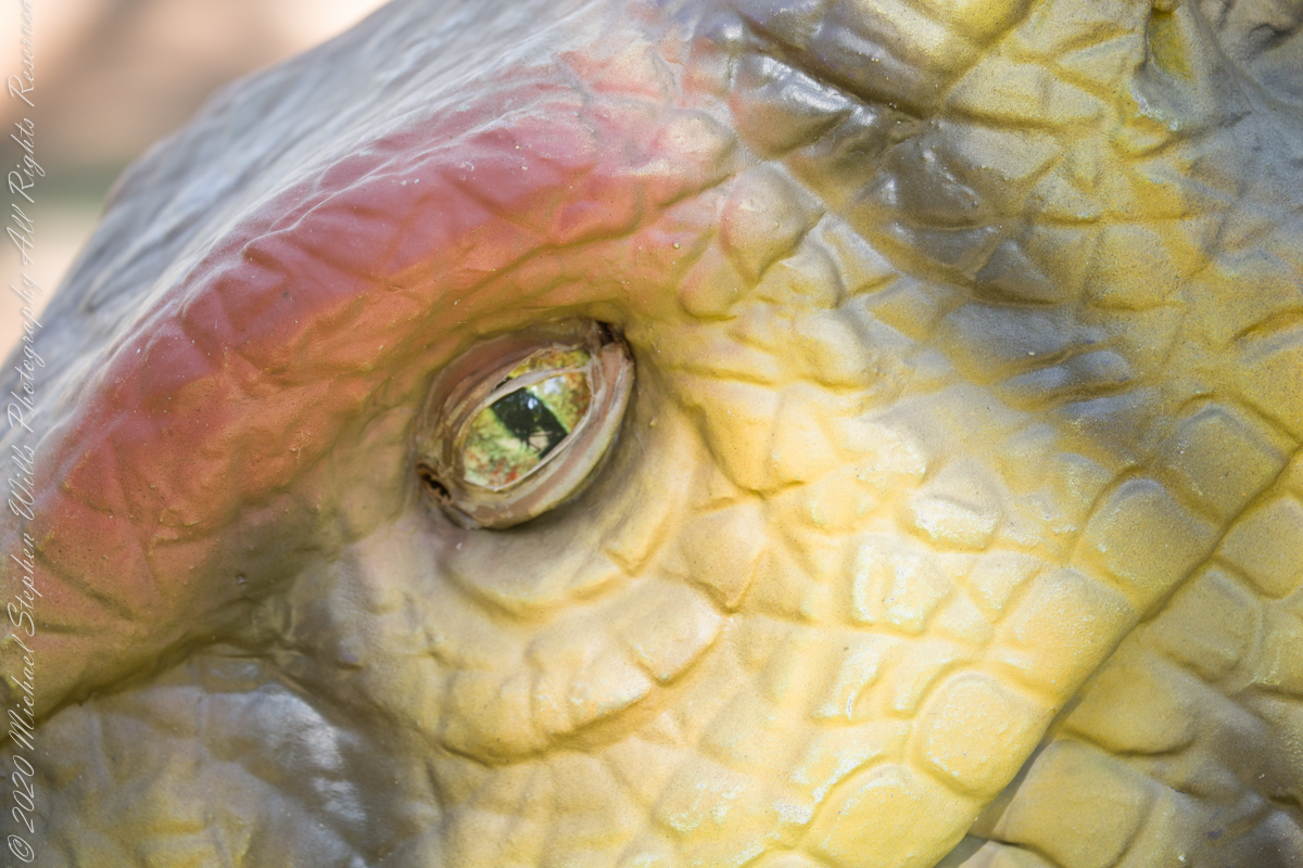
Skin TextureShort, horn-like projections above its eyes helped to recognize others of the same species.
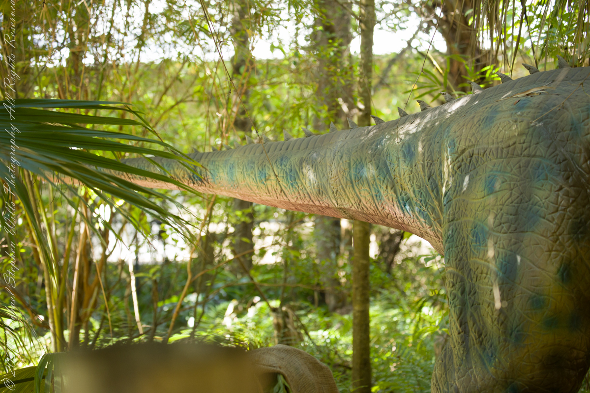
Long extended tail provided balance
A creepy customer
References: text is from the park placard with minor edits.
Copyright 2022 Michael Stephen Wills All Rights Reserved
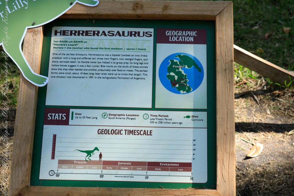
One of the earliest dinosaurs, Herrerosaurus was a bipedal predator with a long and stiffened tail, three main fingers, two vestigial fingers, and sharp, serrated teeth. Its flexible lower jaw helped to grasp prey. Its long legs and hollow bones suggest it was a fast runner. Bite marks on skulls of these animals show they often battled one another, presumably over food or mates. The earliest forms were small, about 10-feet long; later ones were up to twice that length. This rare dinosaur was discovered in 1991 in the Ischigualasto Formation of Argentina.
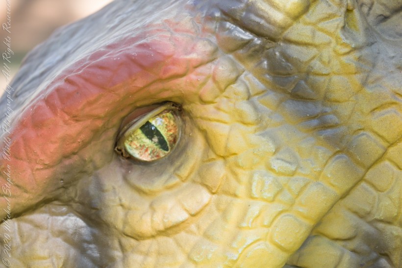
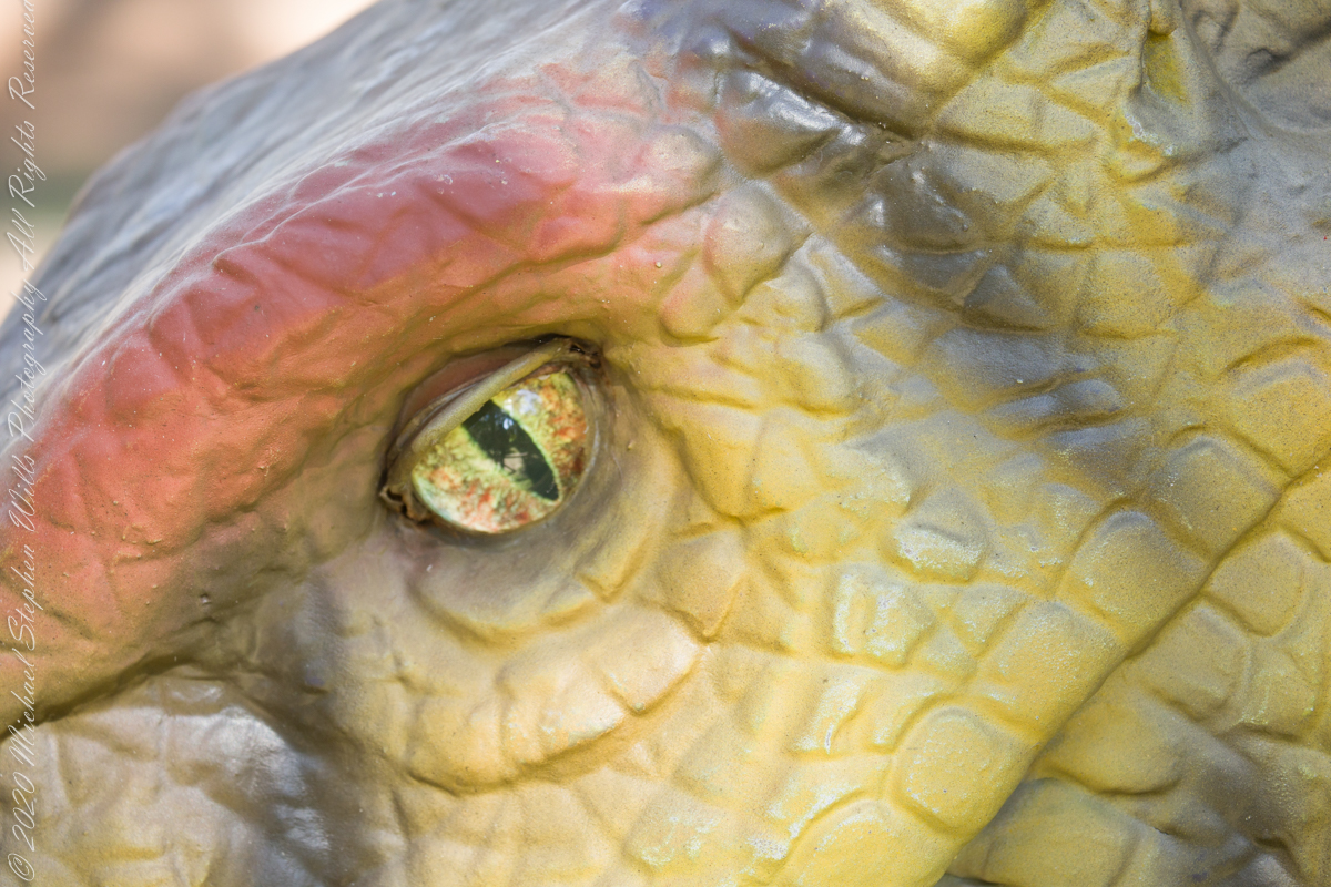
This sculpture has a nictitating membrane, a transparent or translucent third eyelid present in some animals that can be drawn across the eye for protection and to moisten it while maintaining vision. The animatronic sculpture includes the nictating membrane lowering over eye, moving jaws and body and a roar.
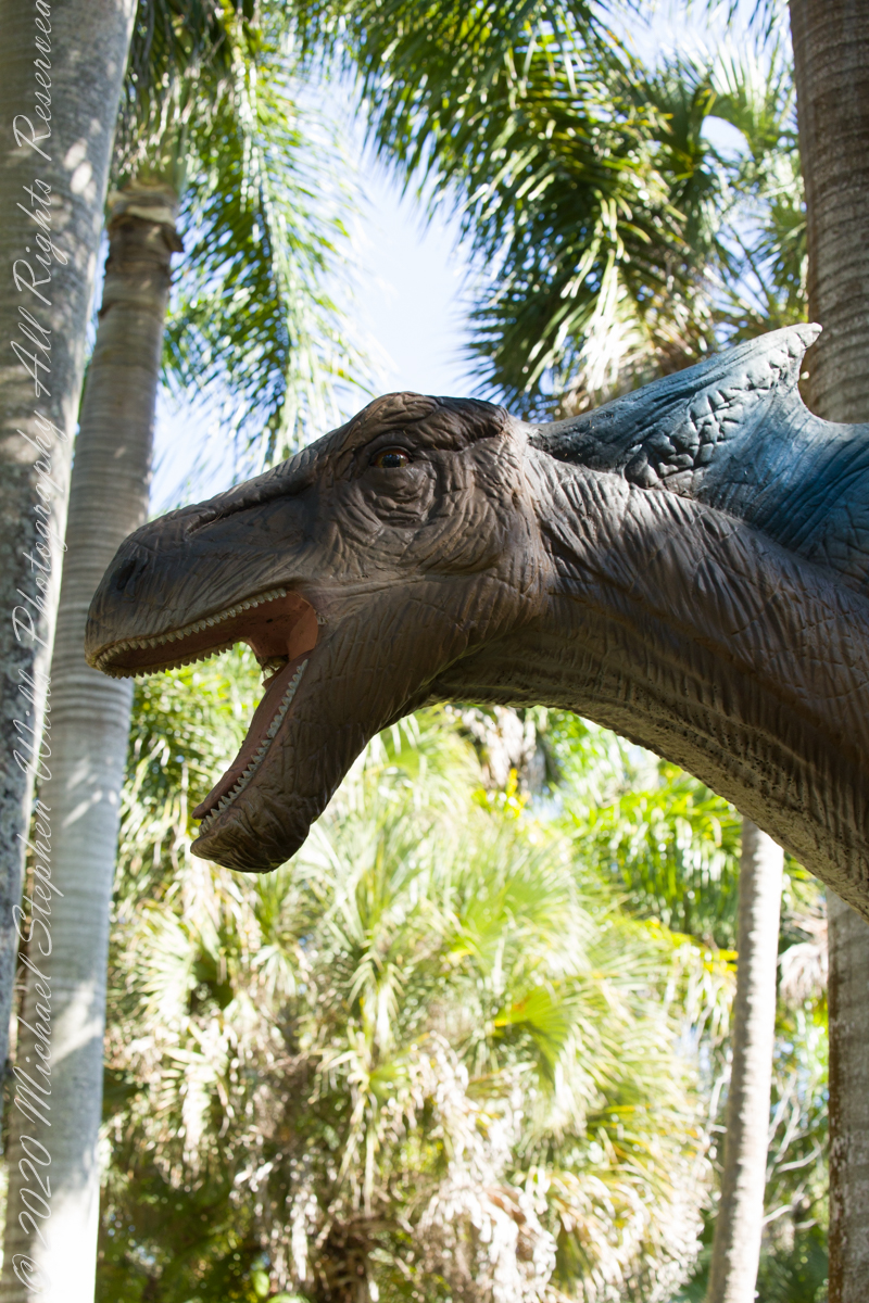
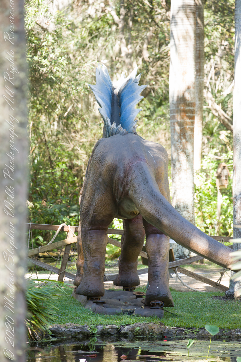
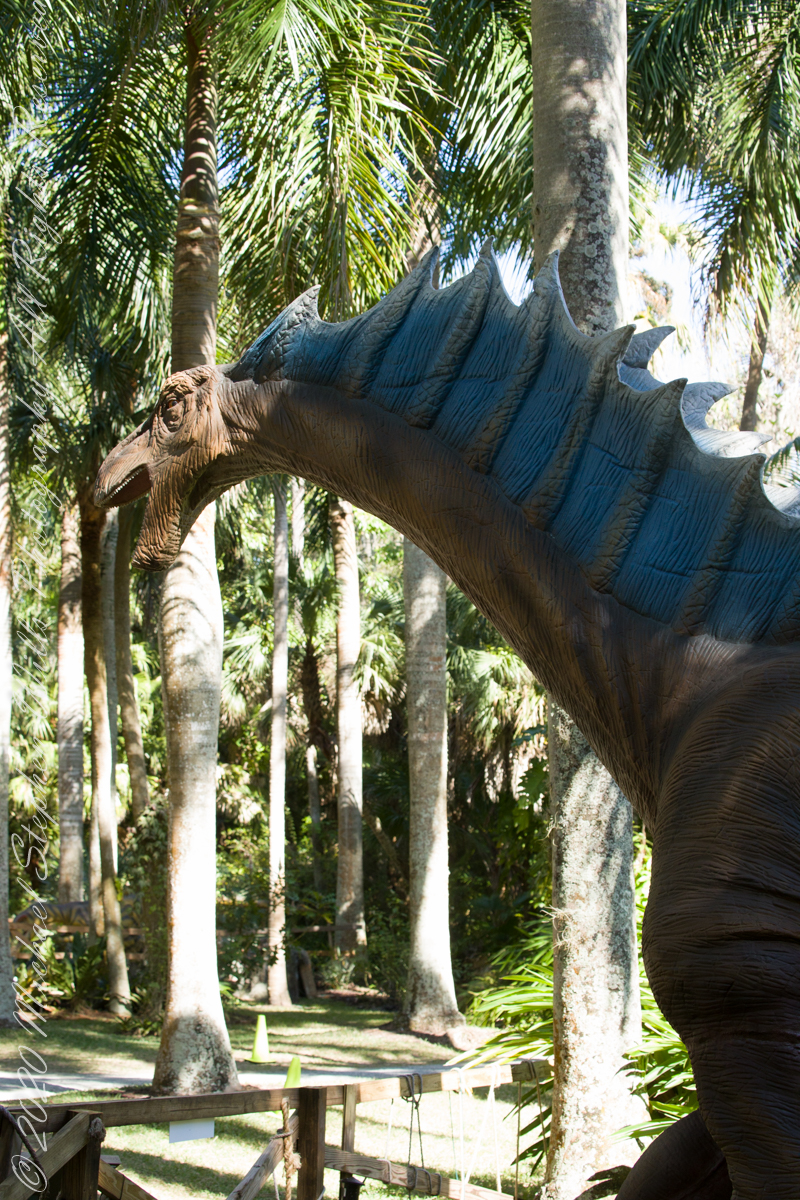
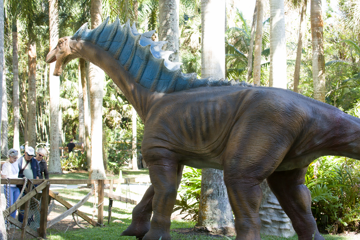
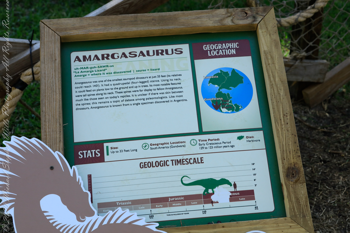
Amargasaurus was one of the smallest sauropod dinosaurs at just 33 feet (its relatives could reach 140 feet!!). It had a quadrupedal stance. Using its neck, it could feed on plants low to the ground and up in trees. Its most notable features were tall spines along its neck. These spines were for display to fellow Amargasaurus, much like those seen on today’s reptiles. It is unclear if there was skin between the spines; this remains a topic of debate among paleontologists. Like most dinosaurs, Amargasaurus is know from a single specimen discovered in Argentina.
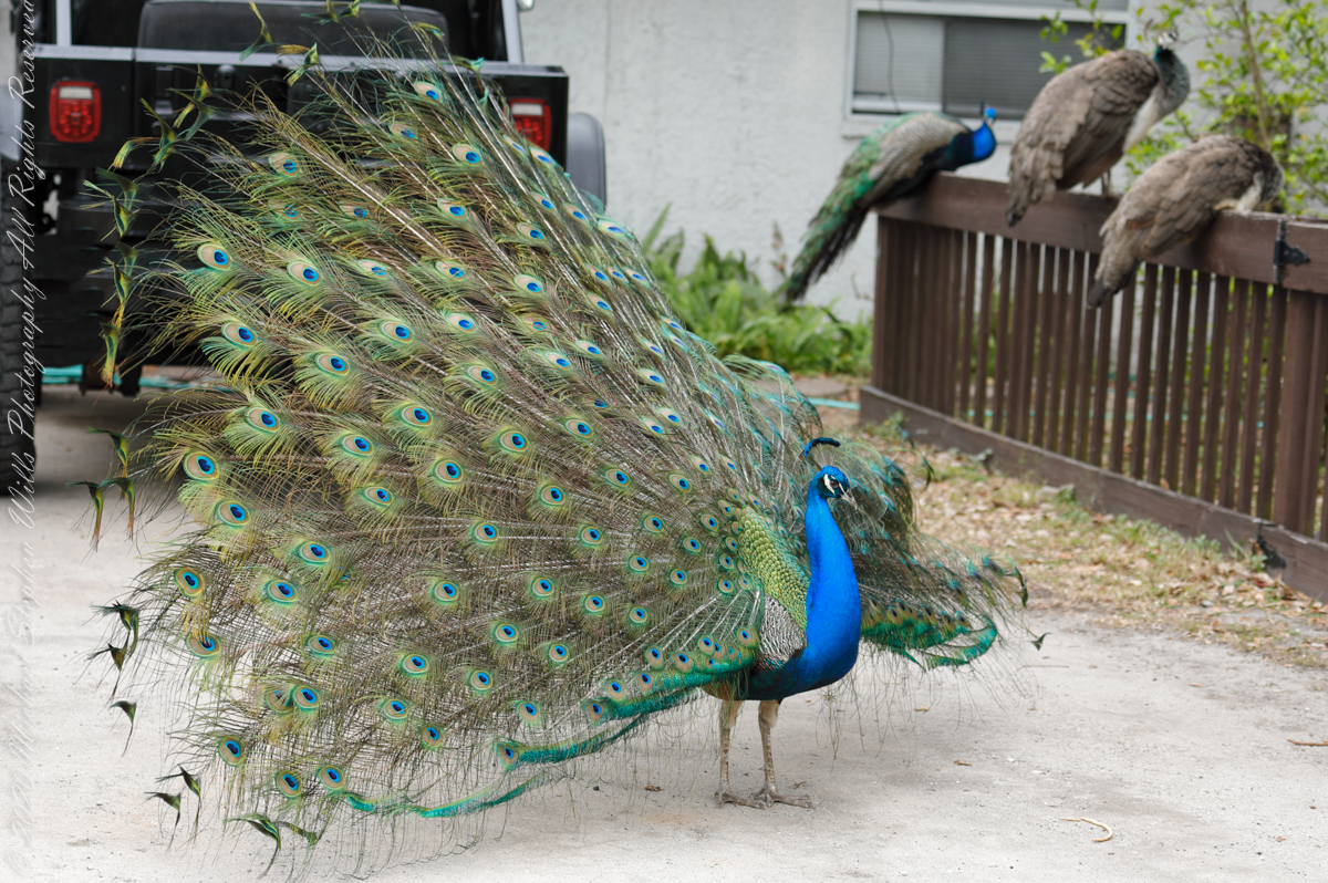
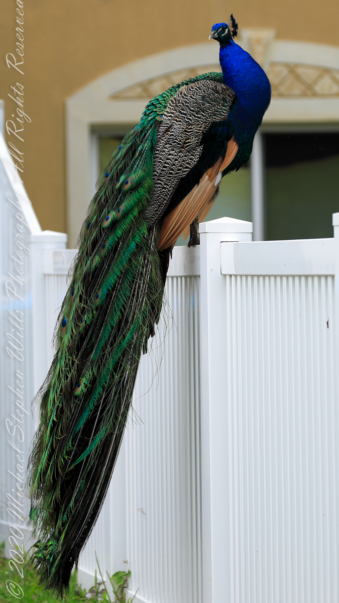
The third of my postings about the peafowl of Cape Canaveral…..we had our most intimate interactions on a Oak Lane, a small unpaved road off a Circle K (roadside convenience store). At one point a peacock approached Pam on the open windowed passenger side and almost pecked her.
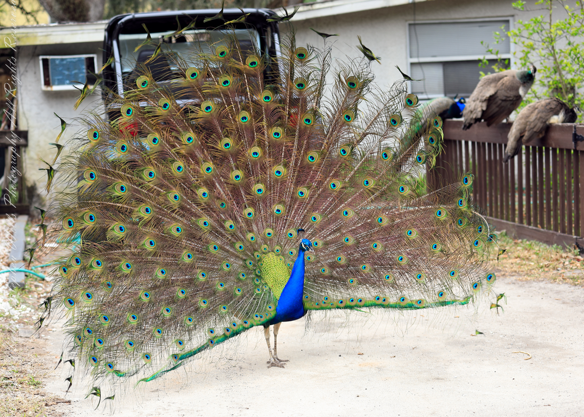
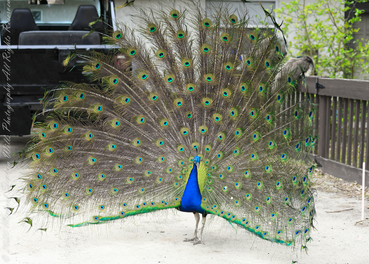
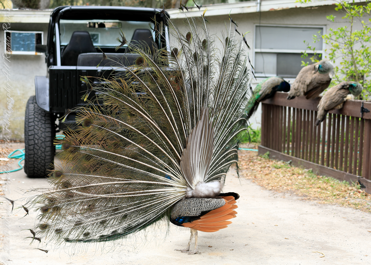
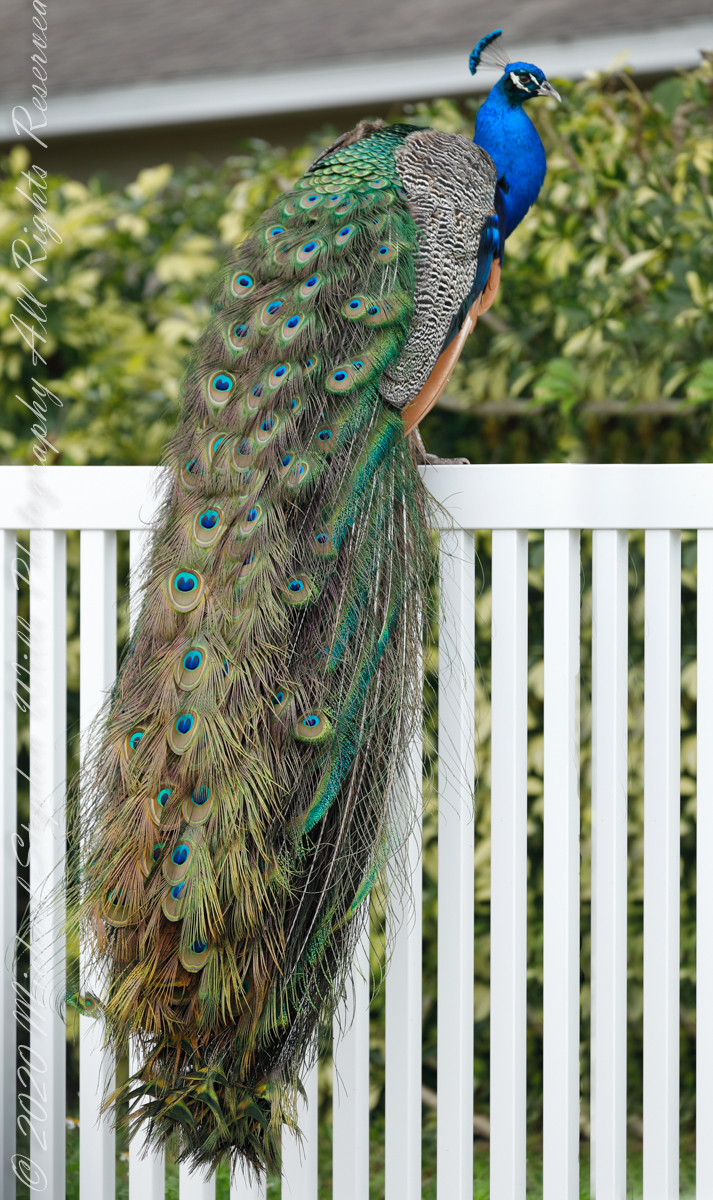
Peacock and audience45 degrees away from face-onAn interesting take on his displayShowboat with a Gladiator (Jeep)
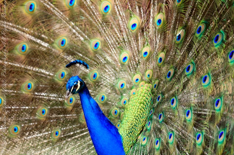
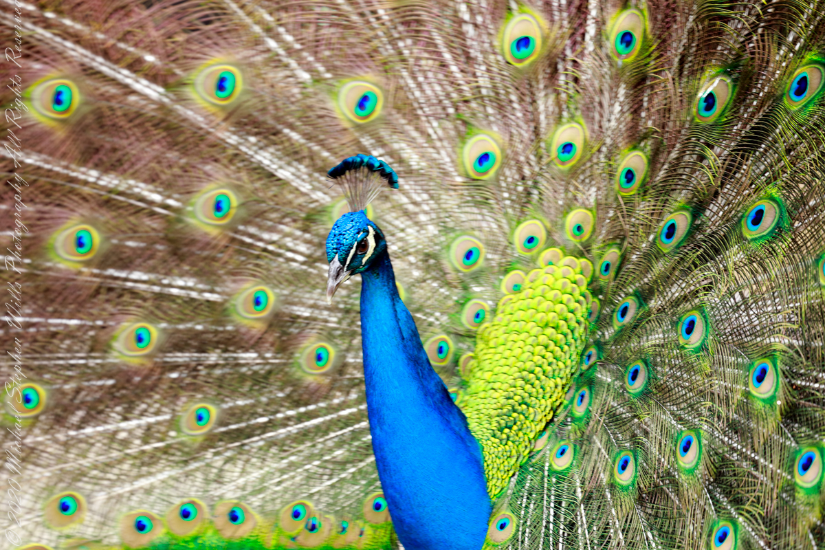
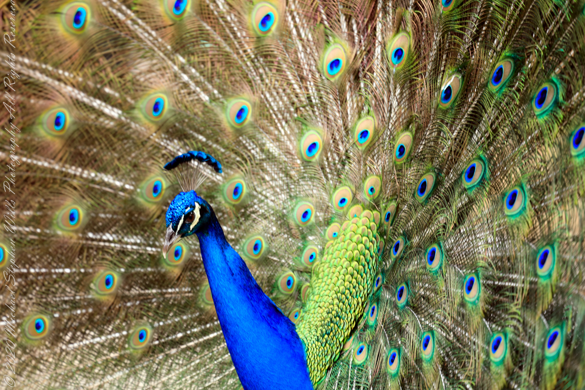
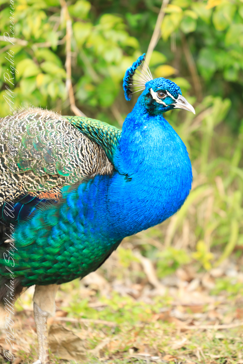
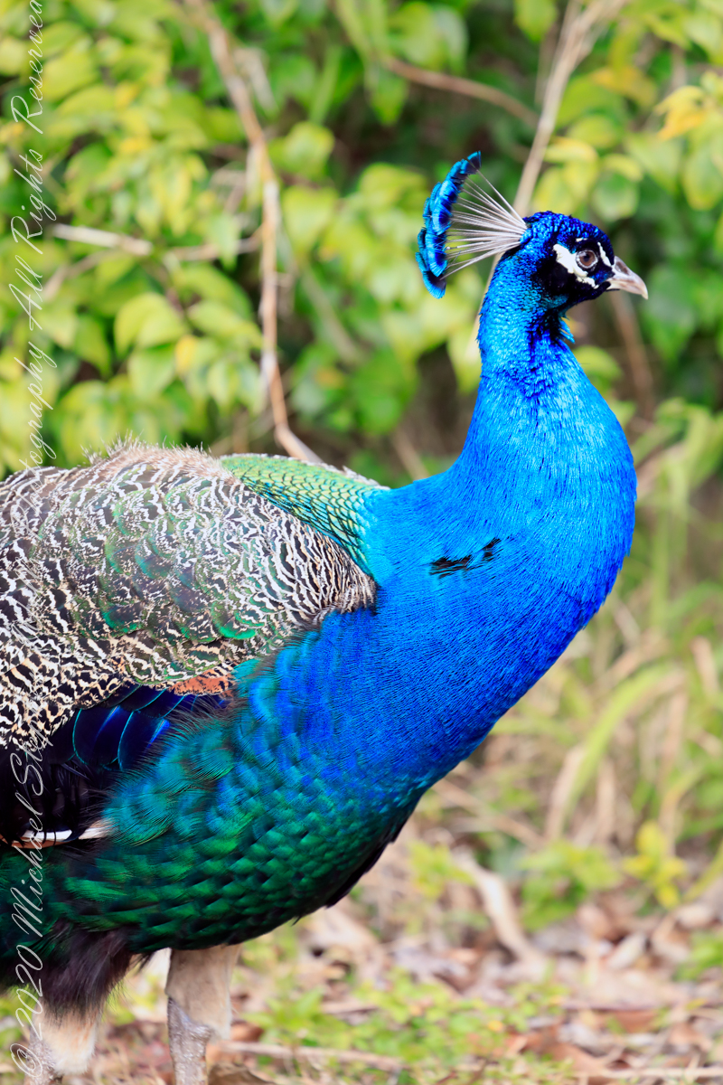
The iridescent coloration is an illusion created by the structure of fine feather elements, called barbules. The impression on peahens varies with viewing angle, between 90 (head on) and 45 degrees to either side. The peacock will shiver his train when faced with a favored peahen.
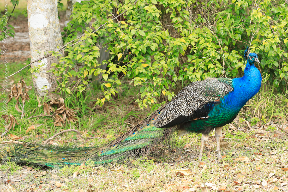
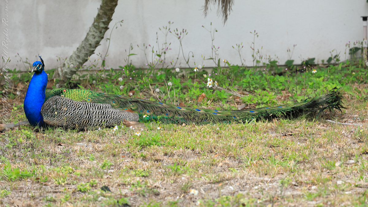
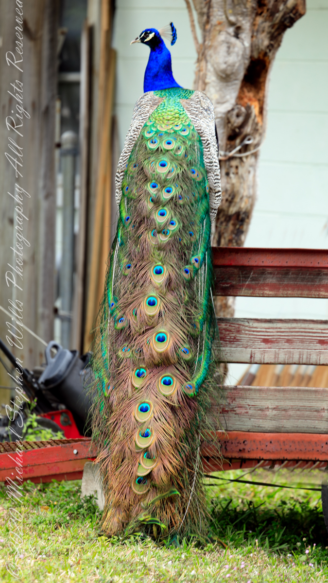
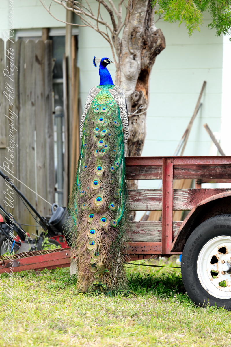
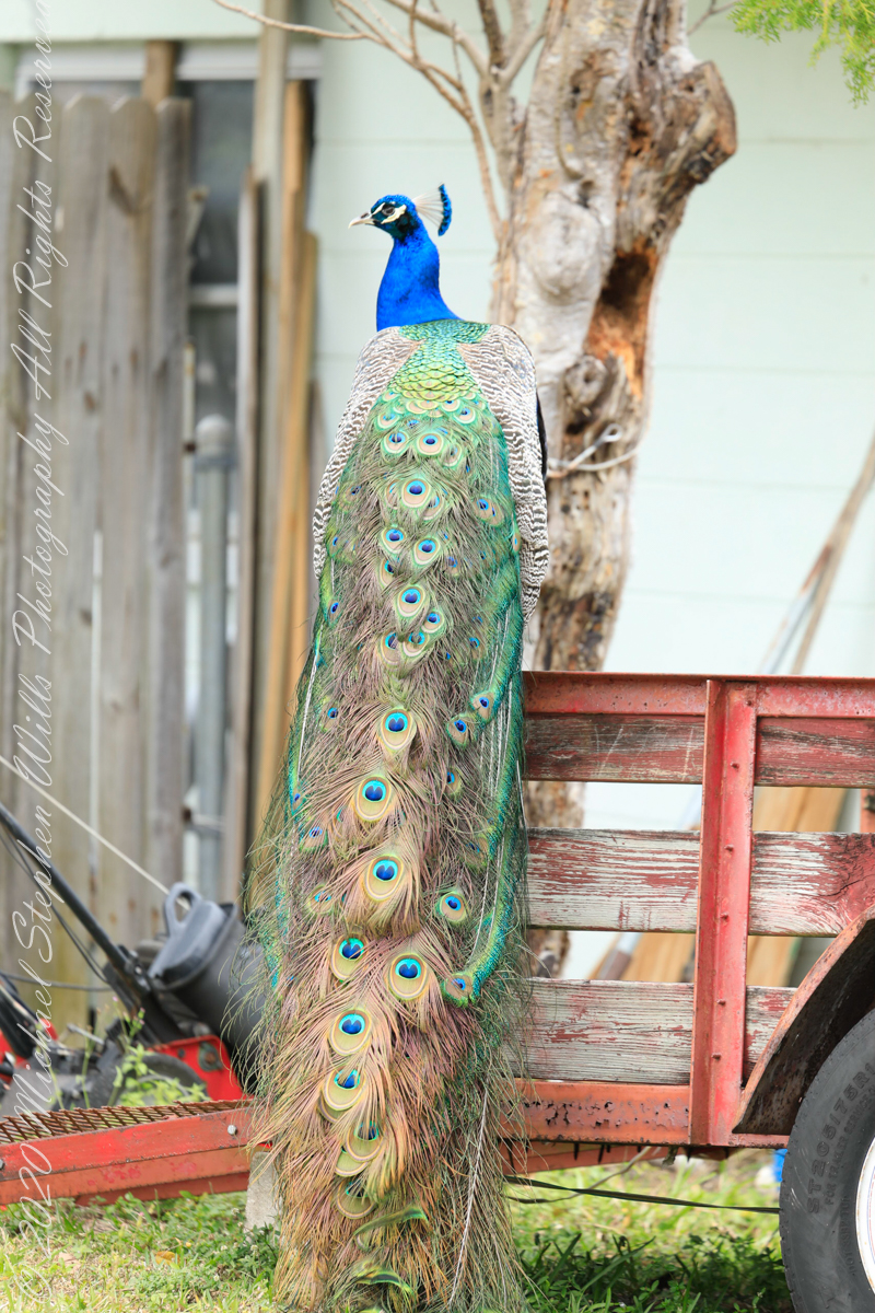
February is Peafowl mating season and for Cape Canaveral the displays were especially fine. These were captured on a photography expedition via automobile, being especially fortunate in observing peacocks (male peafowl) on high perches oriented perfectly to display the magnificent train (trail).
Here is some information on Reddit from “Mr_mayhem77 “According to locals, the Eberwein family lived between Port Canaveral and what is now the Villages of Seaport. In fact a street is actually named after them (Eberwein Drive) at the northern edge of Cape Canaveral. They had the peafowl among many farm animals. The family moved in 1986 and abandoned the peafowls. Over the years the peafowl have slowly populated our community with the greatest concentration being north of Central Ave.”
“Slumming” among lawn equipment
Copyright 2022 Michael Stephen Wills All Rights Reserved
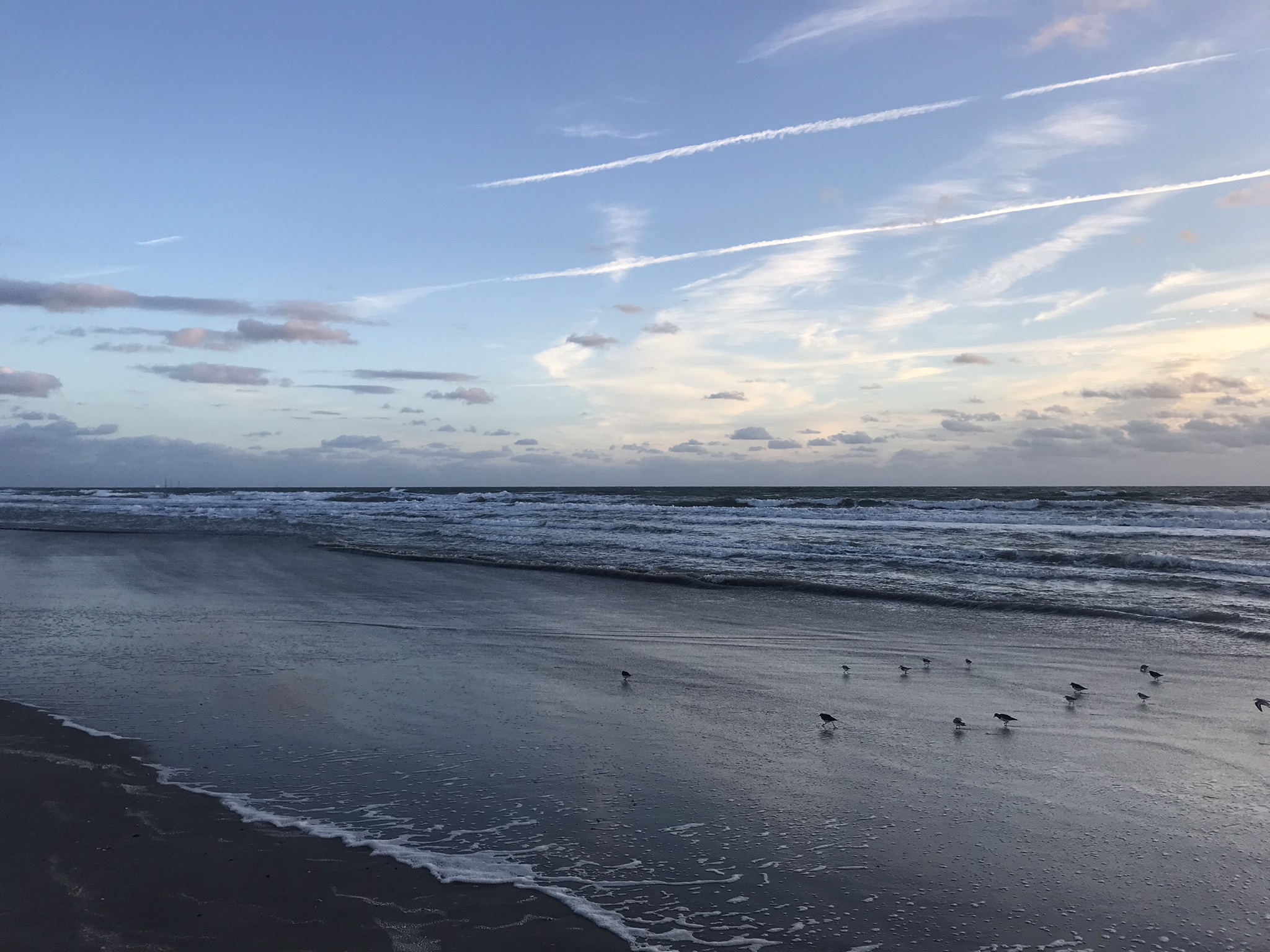
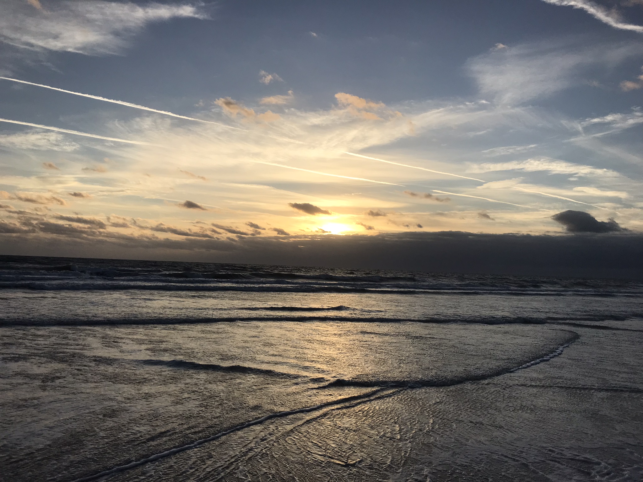
On a day February 2022 Pam and I decided to walk the beach starting from Cheri Down Park, Ridgewood Avenue, Cape Canaveral headed north toward Jetty Park hoping to catch a postponed rocket launch rescheduled for that afternoon. We were encouraged to find video news crew positioned near the park entrance as these professionals were in the know for the best spots to watch the spectacle.
We walked a mile or so, more than halfway to Jetty Park, when the word circulated the rocket launch was cancelled. Rather than turn around, we decided to explore the walkway that opens on “Peacock Beach” as Google Map listed a public parking space there, quite a bit closer to Jetty Park. This park charges a hefty entrance fee to non-residents, so we were parking at Cheri Down, we saved $10 for each mile walked.
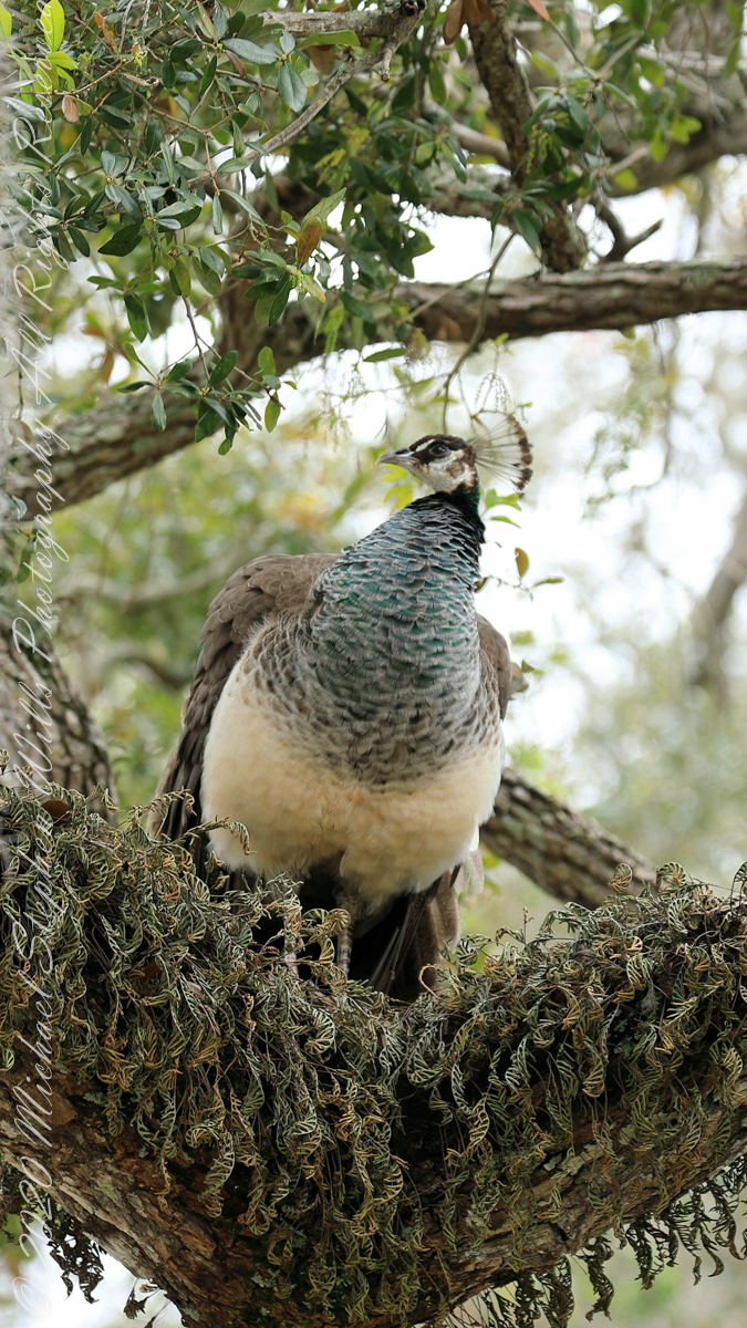
GorgeousIiridescent blue and green Dimorphism on display
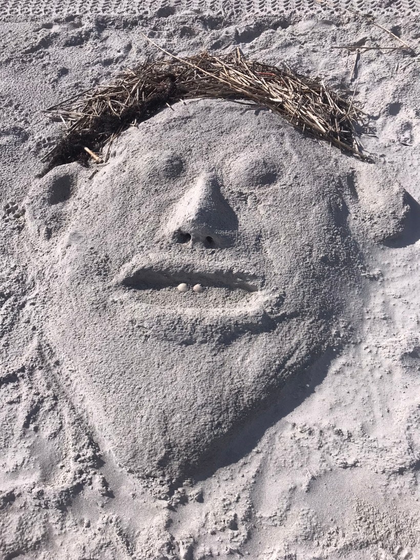
Having leisure, we decided to walk back to Cheri Down the long way. In what turned out to be a 1.7 mile stroll we encountered these residents for which the beach is named. Then and there Pam and I decided to return for a dedicated photography expedition, the results of which I will share over several posts.
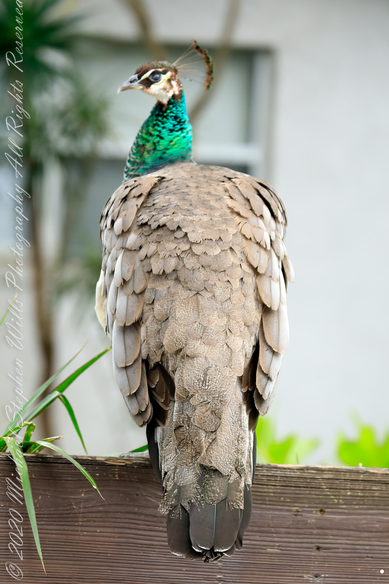
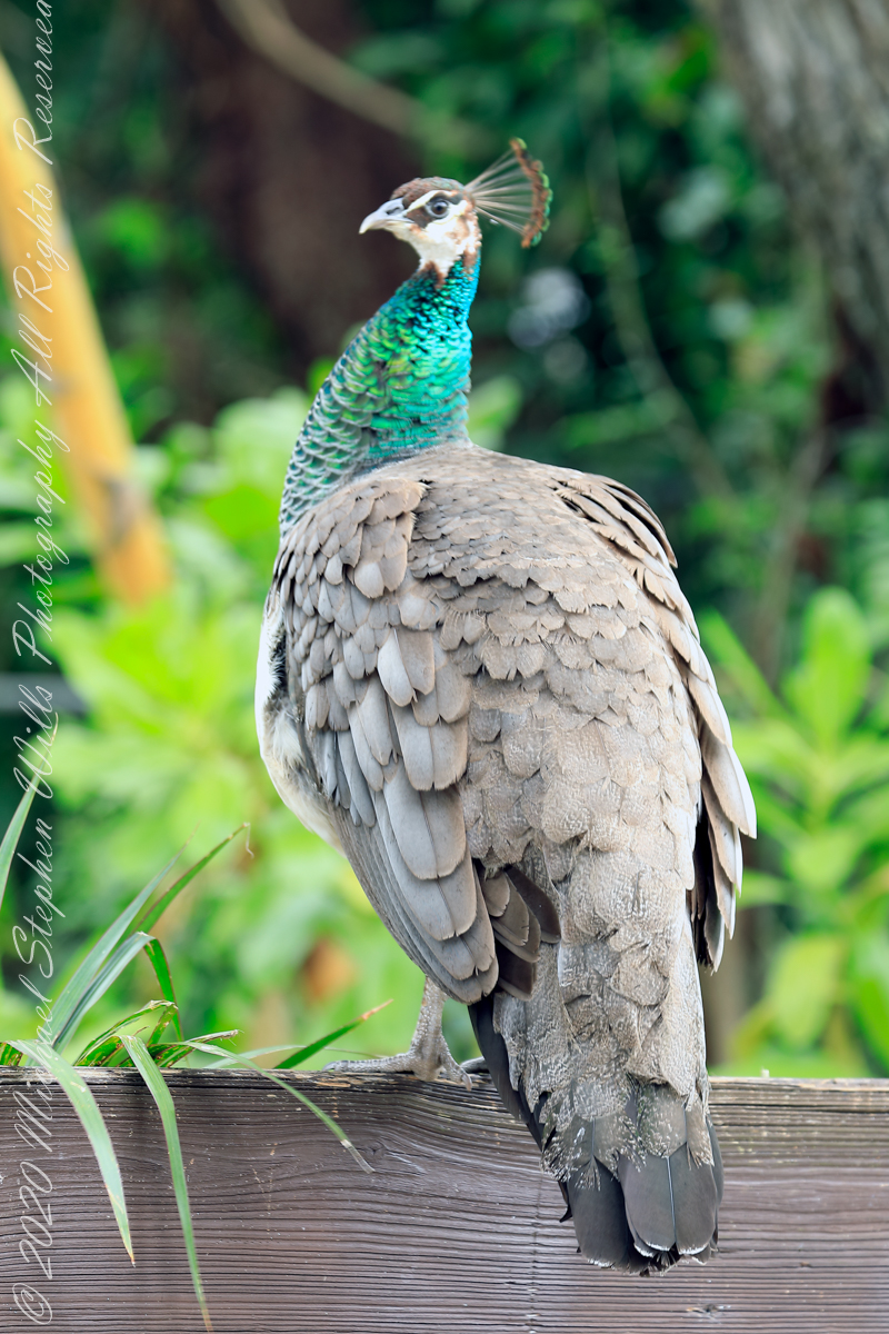
Females share the head crestIridescent green neckA bed of moss
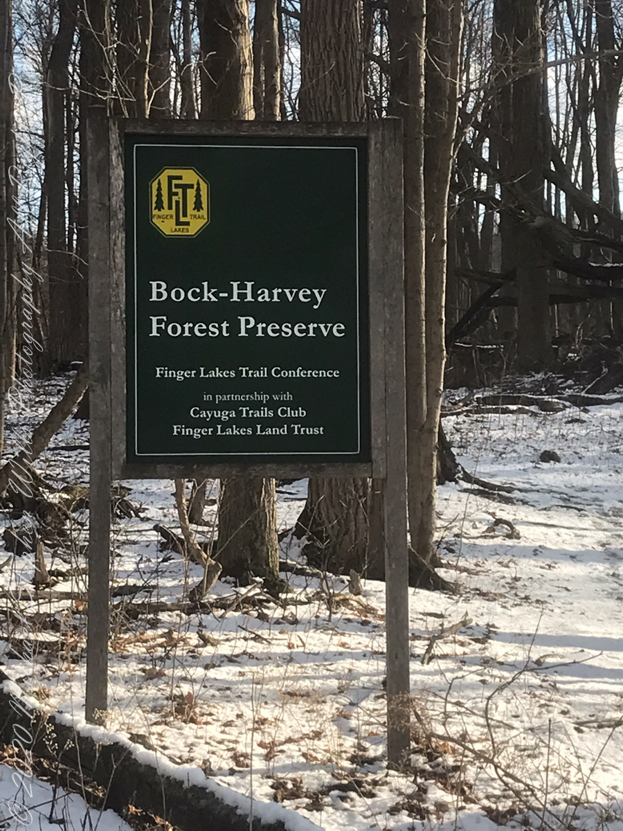
On September 14, 2013, the Bock-Harvey Forest Preserve was dedicated protecting 48 acrea of open meadow, transitional meadow, mixed hardwood forest, a special environmental protection zone and the Finger Lakes Trail. Brock-Harvey Forest Preserve, and all land as far as the eye can see from there, was part of the Military Tract of Central New York, 28 townships given classical Greek and Roman names, each township 100 lots of 600 acres each, approved by the U.S. Congress 1799. Here, the township was Ulysses, encompassing the southern end of Cayuga Lake and surrounding lands. Thus, the city of Ithaca and Hector Street winding up from the valley passing below our home.
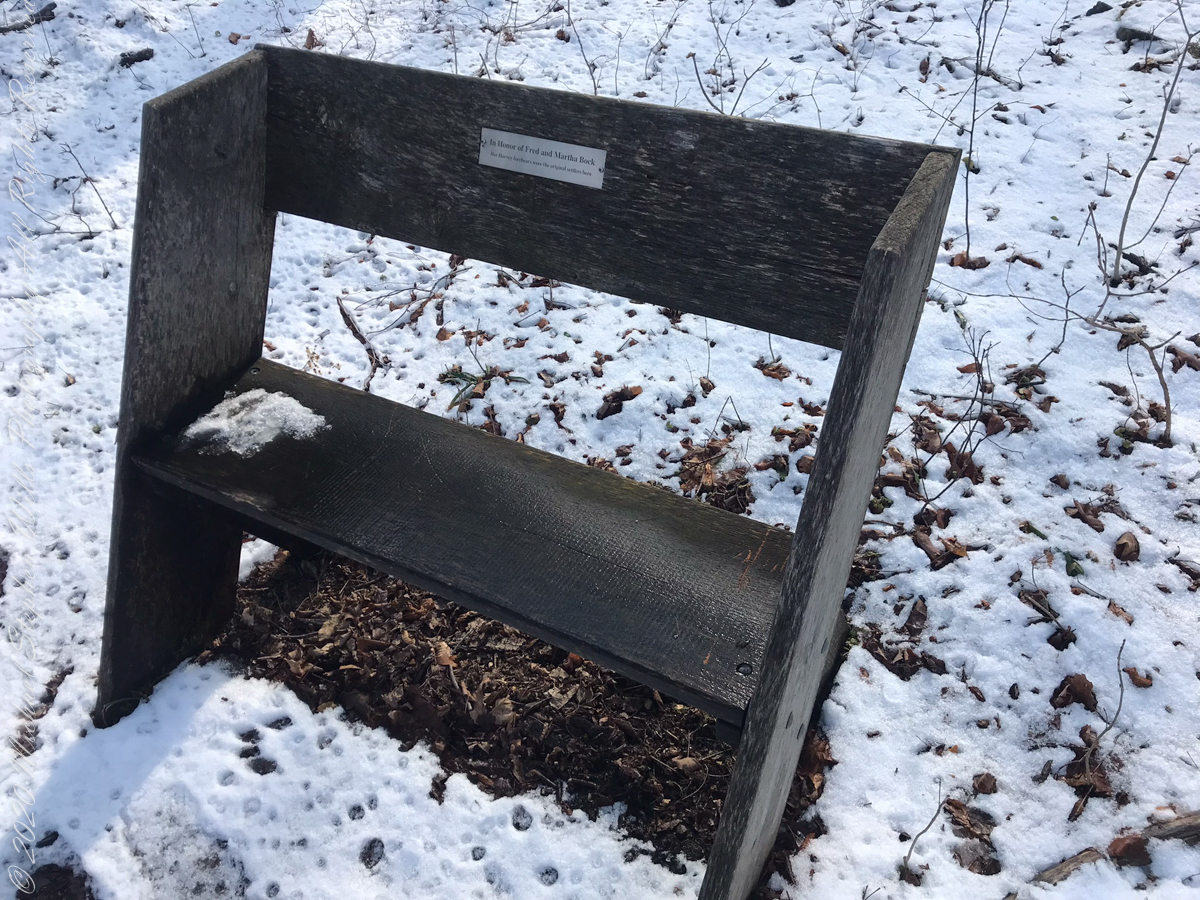
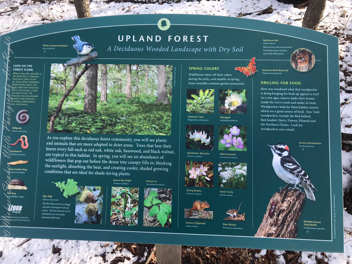
Sign on Rockwell RoadResting Place in forestGreat Information
This land and several other military tracts were purchased by Samuel Harvey. He then gave he lands to his sons including this farm to Silas Harvey, the great-great-great-great grandfather of Megan Barber who led the dedication ceremony of the forest preserve. Megan’s great-grandmother Martha Harvey married Fred Bock and lived on this land used for dairy farming for over 150 years.
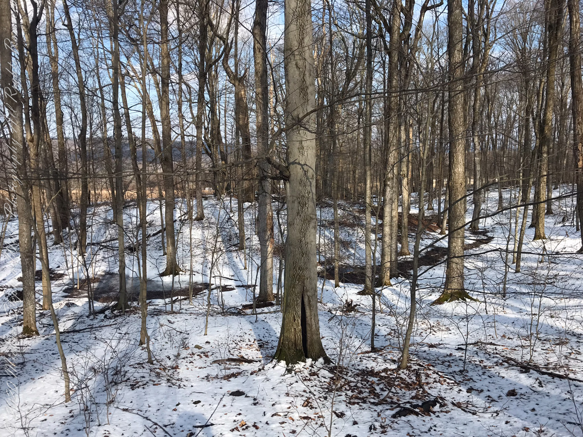
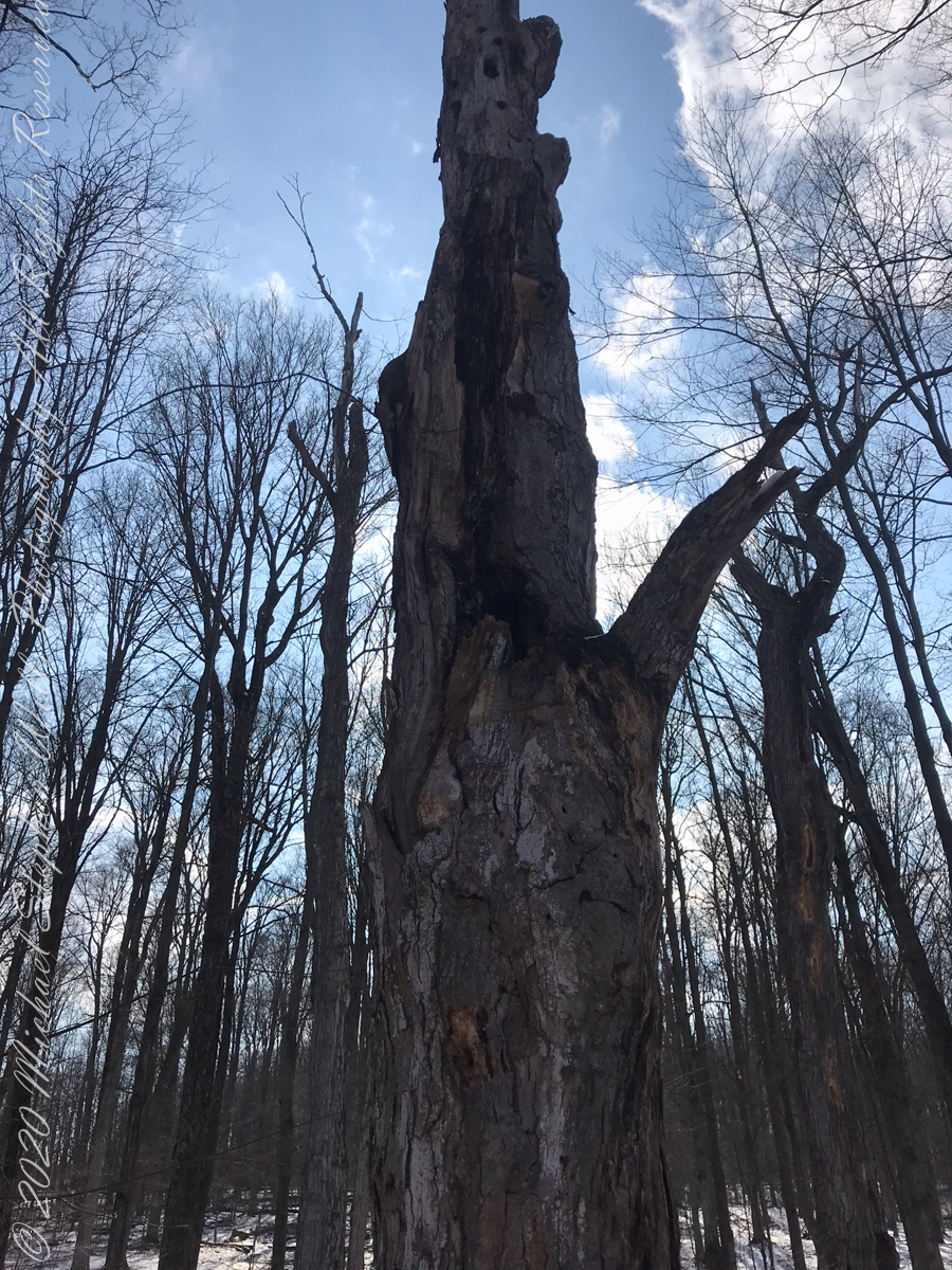
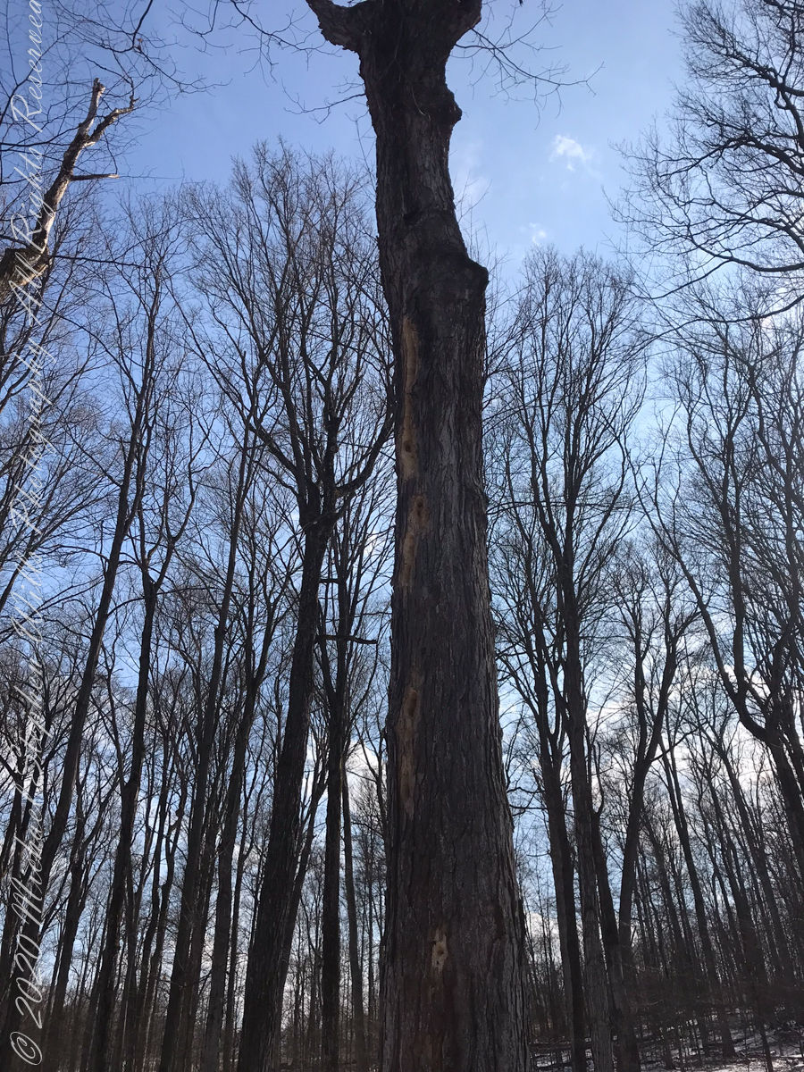
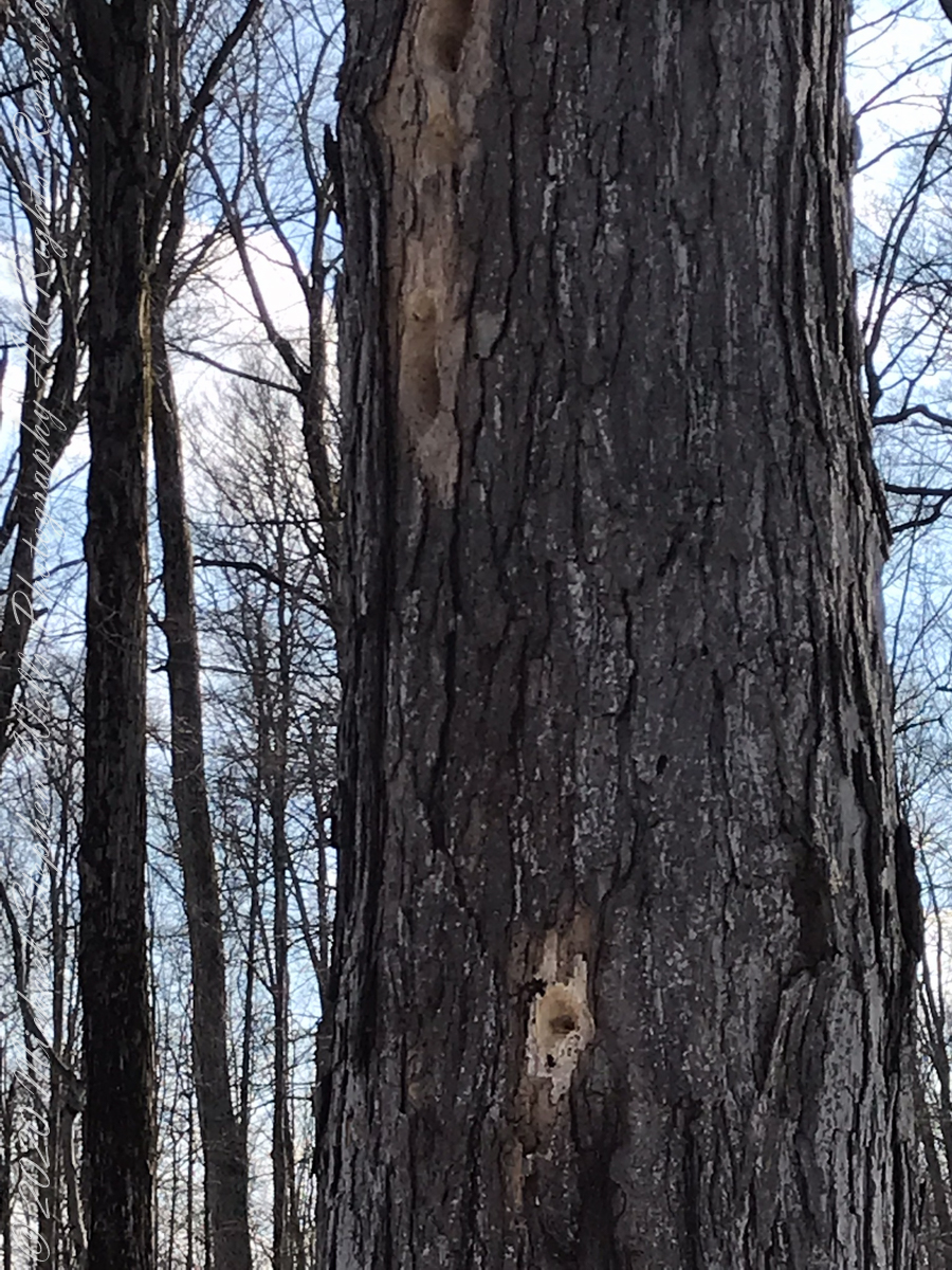
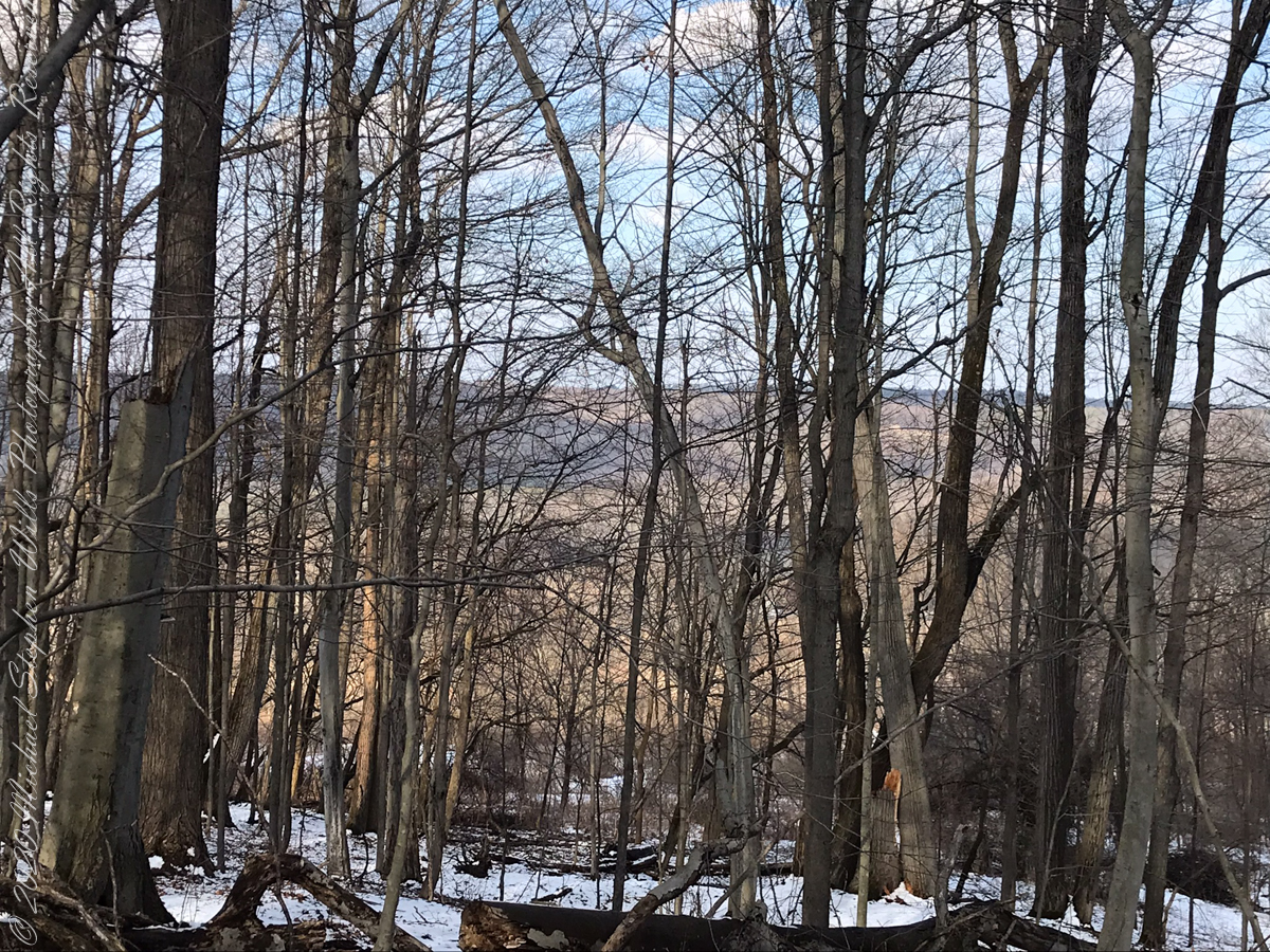
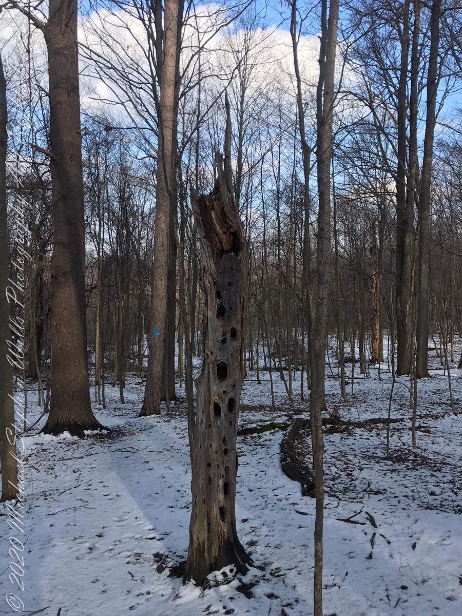
forested uplandvernal poolsnagfull of bird holes
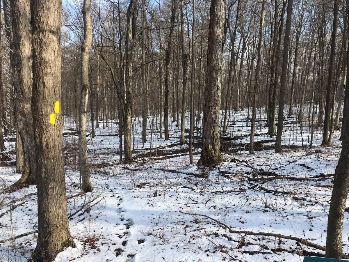
The preserve exceeded my expectations for great upland views.
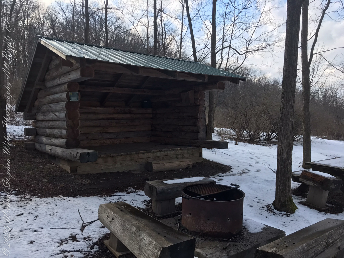
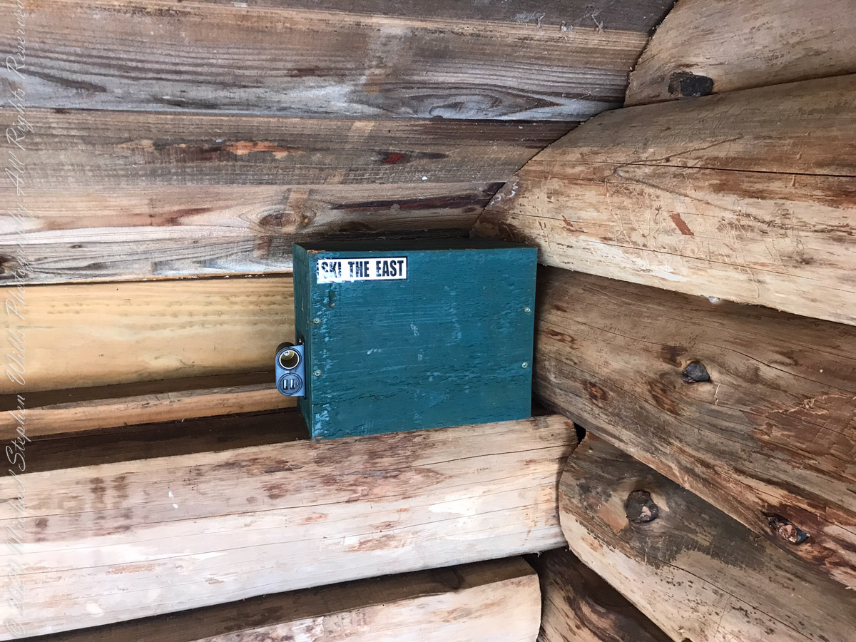
above the lean-topapartment houselean to made from tamarack logs with excellent fire pitsolar powered charging stationdocument box / mouse houseselfie
View from Shelter across the valley of Enfield Creek, the same that flows over Lucifer Falls of Treman State Park