In my last Pinelands post, “cedar water” was featured. This post is a exploration of the “cedar” in “cedar water.”
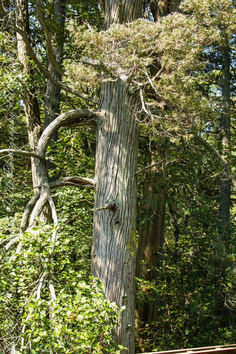
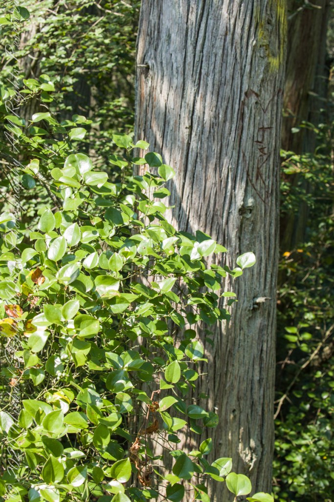
White Cedar, also known as Swamp Cedar, is a water loving tree seen here to the right of Quaker Brider, Wharton State Forest.
Click pic for larger view in a new browser tab. If you are in WordPress Reader, open the post to use this feature.
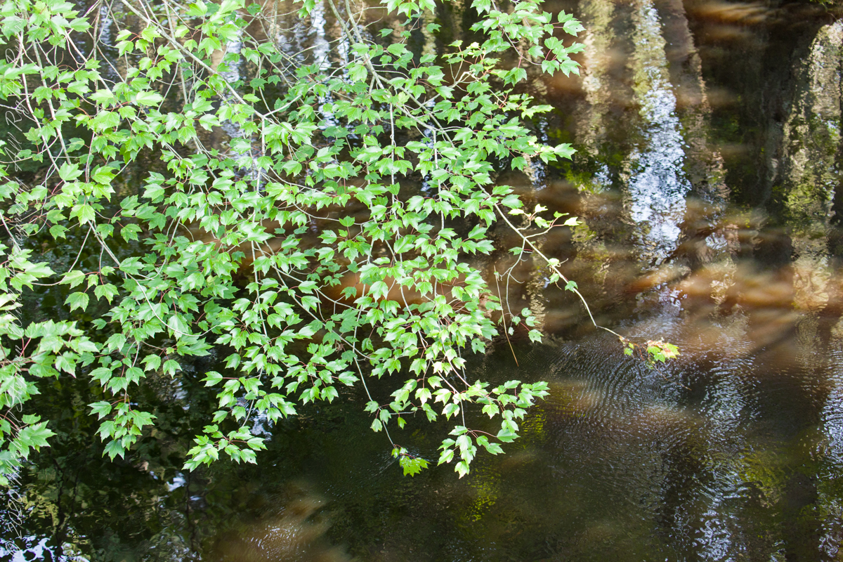
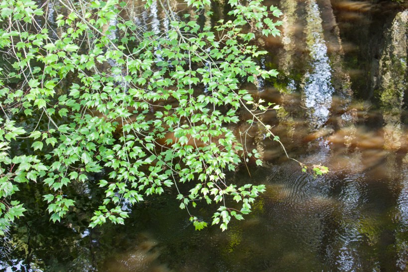
“Cedar water” is the dark, tea like, flow of Pinelands rivers colored by vegetable tannins.
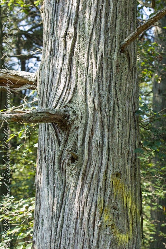
White Cedar thrives along Pinelands waterways, lending color to the “cedar water.” 18th Century sea captains favored cedar water for long voyages, famours for staying fresh far longer than other waters. Also known as arborvite, “tree of life”, for the medicinal properties of the bark, well known throughout Native America.
Known for flat sprays of scaley leaves
The Pinelands are under siege from attacks much worse than this defacement
After work on a 2008 Friday afternoon in October we sped over to Beebee Lake on the Cornell University Campus to catch the late afternoon glow.
Beebe Lake is formed by a dam on Fall Creek. It seems to be the flooded meadow it is, surrounded by hills formed by glaciers 10,000 years ago. Cornell maintains footpaths around the lake.
People say that if a couple walk the a mile around the lake and over a bridge at either end, they are destined to be married. This day we passed only joggers and families. Pam and I will celebrated our tenth anniversary March 2019, so the legend worked for us.
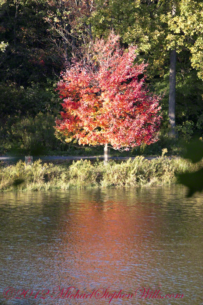
Here are four snapshots from that time, presented in chronological order. Each is a handheld shot taken on the fly using my Sony Alpha 700 I use for exploratory photography.
Click any photograph to view my Finger Lakes Memory gallery
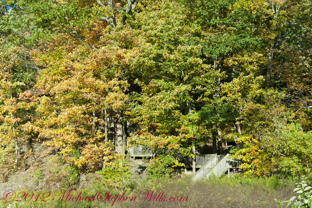
A terraced stair descends to the east side meadow to south lake shore path
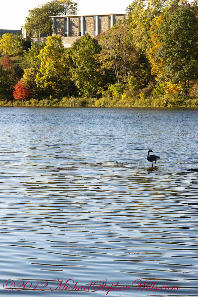
I walked down a path trod by Canadian geese to reach a clear view of the water.
View of Helen Newman Hall
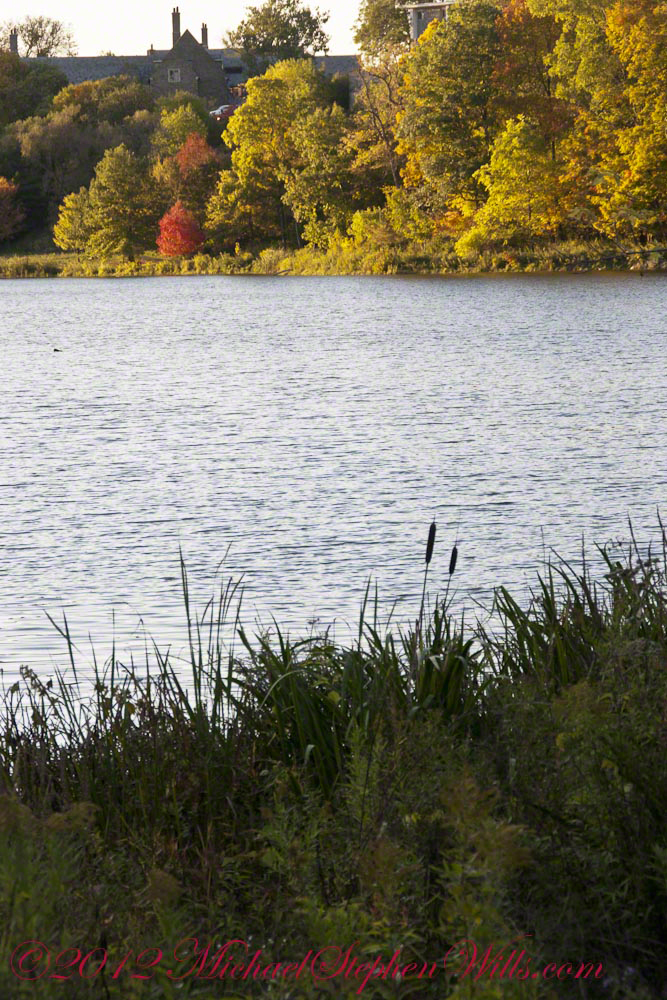
Lily pads and iris fronds grow along the bank.
Evening sunlight reflected from smooth water crests driven by a steady light wind
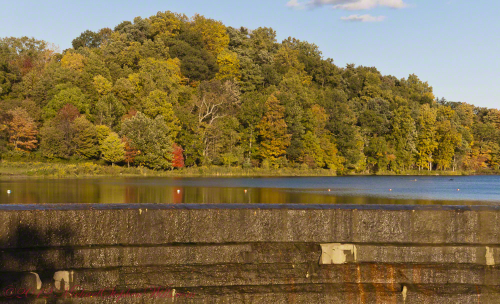
Being on the west side of the lake, the dam is bathed in golden autumn light.
The Dam That Forms Beebee Lake
On top the hill, not visible behind the trees, above the opposite bank is Fuertes Observatory. We visited it this night, opened to the public as it is on all clear Friday nights while classes are running.
Copyright 2021 Michael Stephen Wills All Rights Reserved
These photographs were taken the last days of August 2021, the 26th and 27th, while exploring Burlington County, New Jersey, with my sister. I will be writing about our Thursday and Friday for awhile, starting with today’s installment.
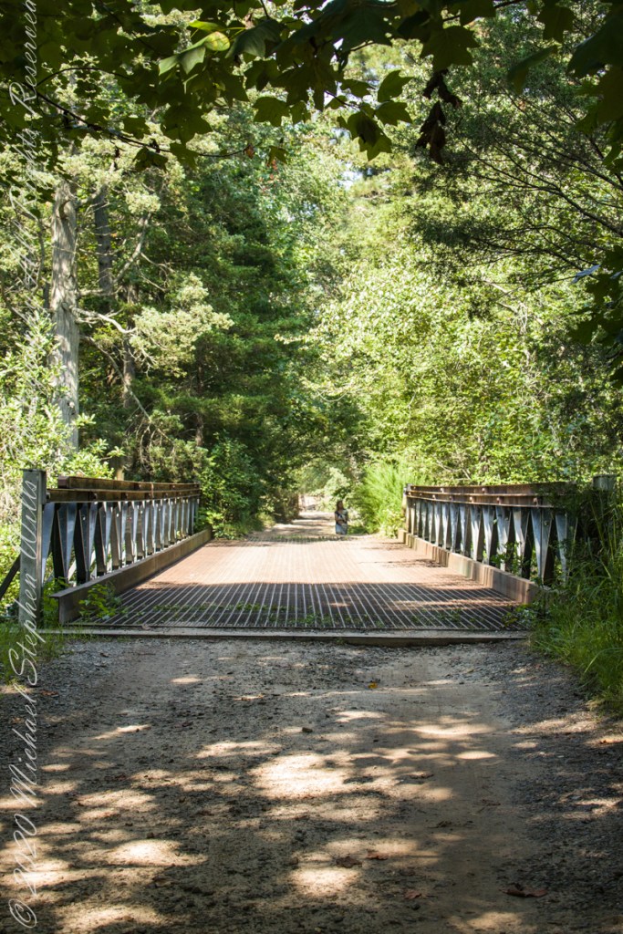
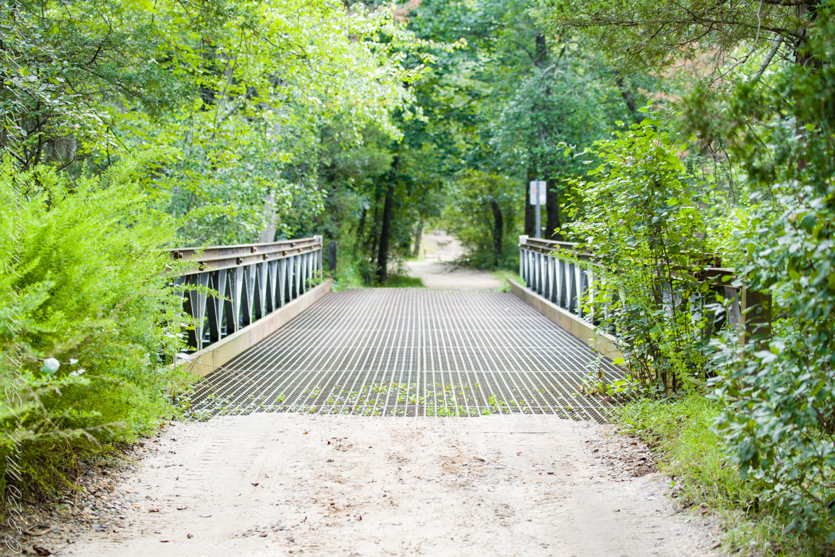
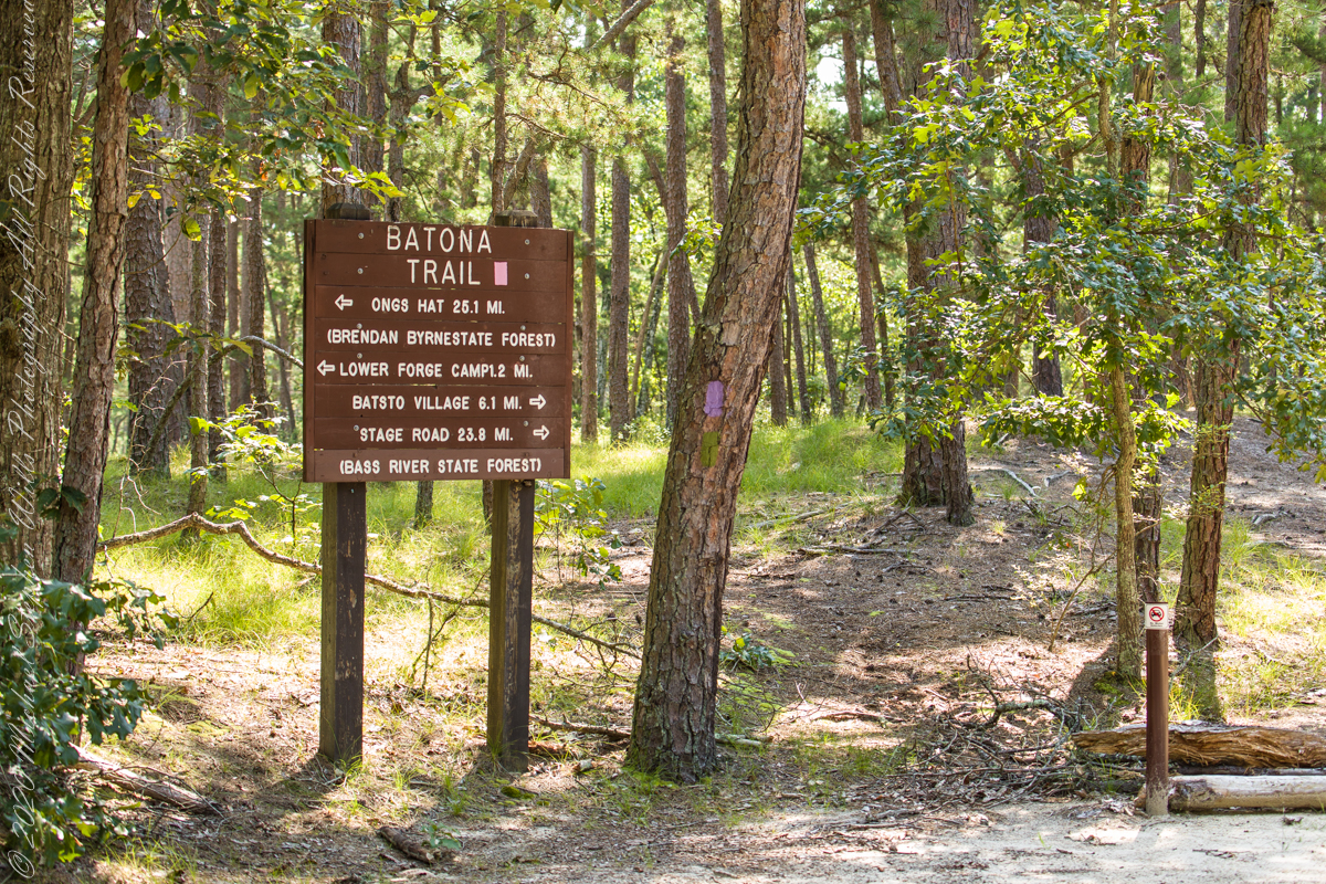
Quaker Bridge Road traverses the wilderness of Wharton State Forest with a beginning off Route 206, Atsion Mansion. Our planning included Jeep Wrangler rental, only high-clearance 4-wheel vehicles are appropriate, the road surface is humpy sand, water filled holes abound. Still, sitting there at the start, with Atsion Mansion house in view, I waited awhile until a high clearance tour bus packed with adventurers, kayaks passed into the pines and out of sight. We proceeded an uneventful ~4 miles to Quaker Bridge at a stately 5 miles per hour, invoking four-wheel drive low gear a mile or so in.
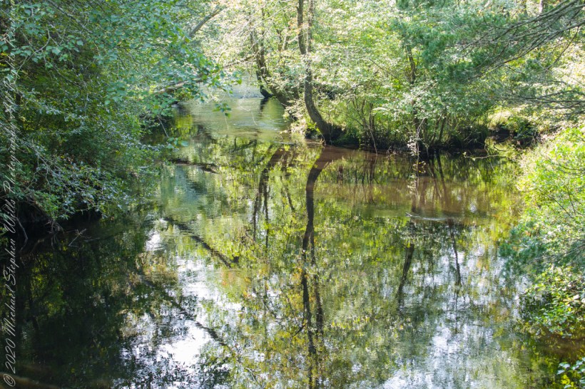
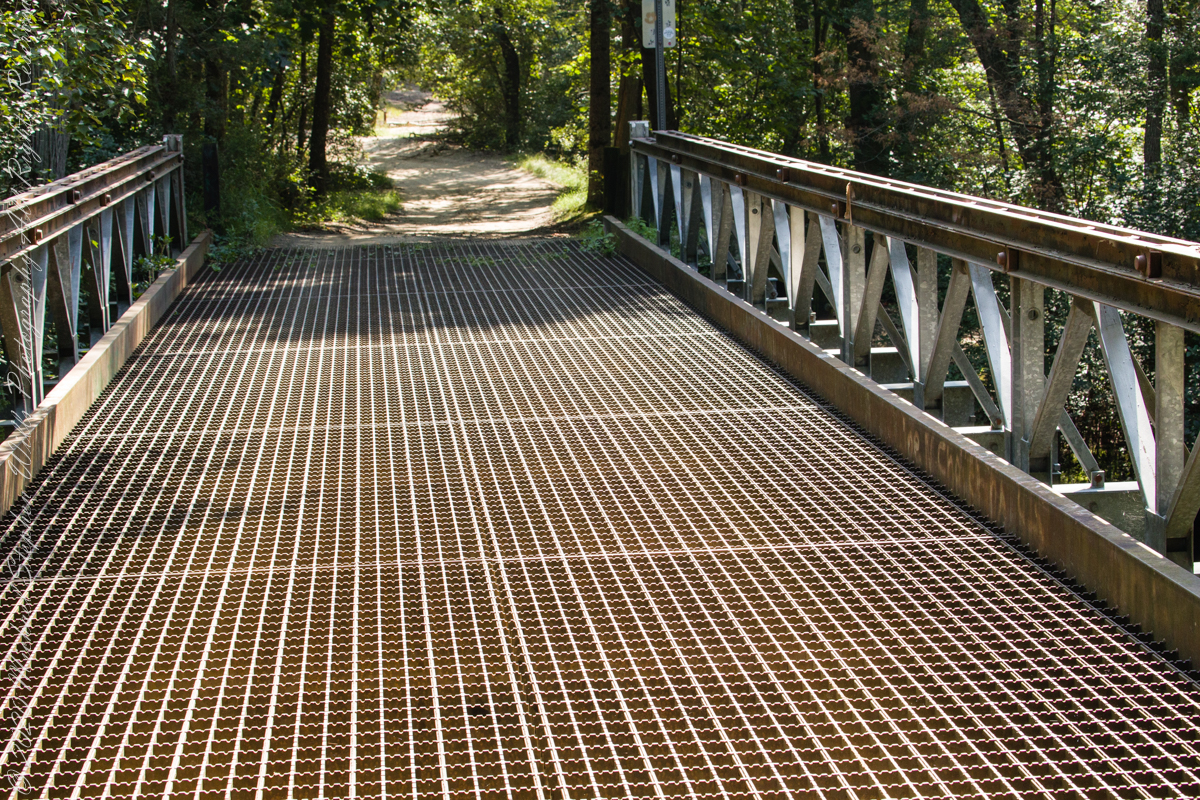
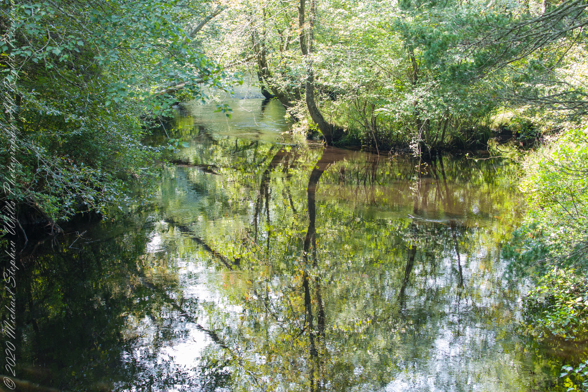
Here is Quaker Bridge over Mullica River today, facing East.
Mullica River from Quaker Bridge facing downstream
Quaker Bridge road was a well traveled main route through the Pines for almost a hundred years with an inconvenient crossing of The Mullica at this point. During the year 1774, some sa 1772, West Jersey Quakers travelling to the Little Egg Harbor Yearly Meeting, started “a day early”, built a bridge. From a c.1940 photograph it is clear in that “day” they felled large trees for pilings, smaller trees, pines and cedars, for the other bridge elements. Since then, the crossing has been called “Quaker Bridge.”
Over time, the east side became a resting place, with at least one Inn/Tavern. Here is the east side today.
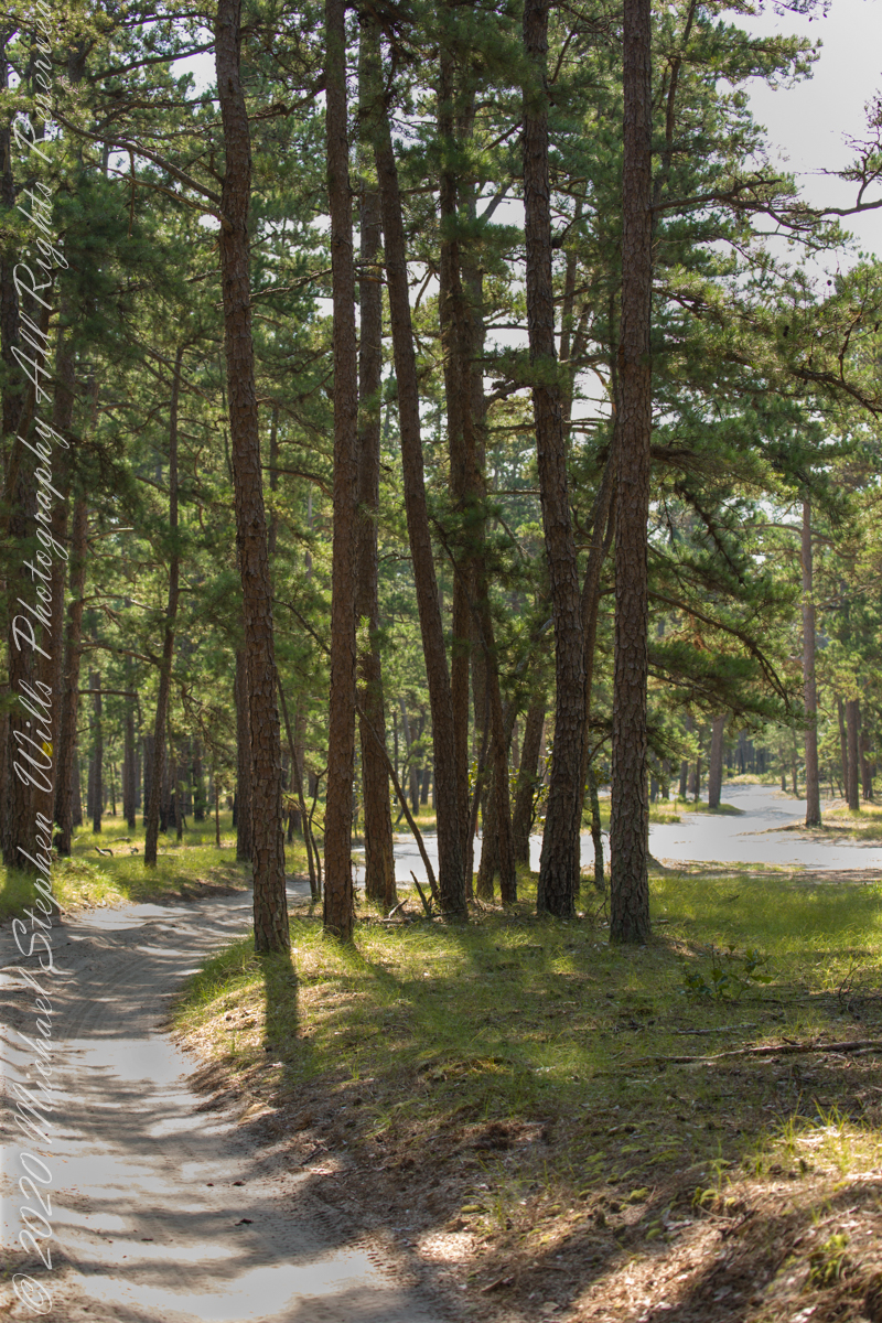
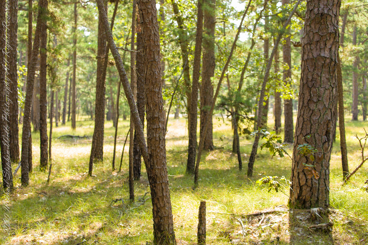
Even without hospitality and bustling humanity, after 4 miles of dreary road from Atsion this spot carries a sense of lightness, the well spaced straight pines over several acres conveying peace and rest. Over 35 miles from the ocean, the white sand presents as beach. There is a reason for this feeling, a 15 million year reason.
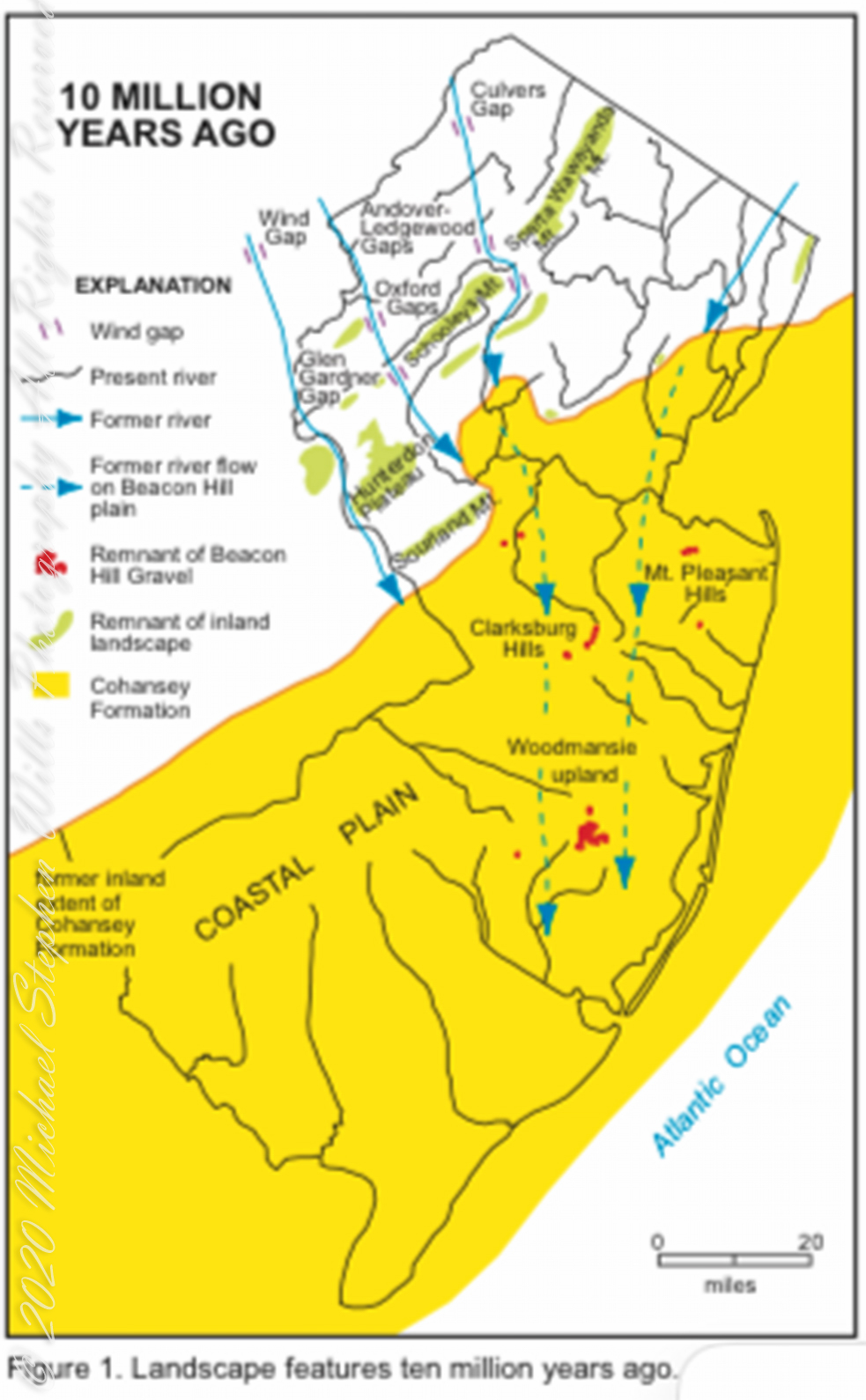
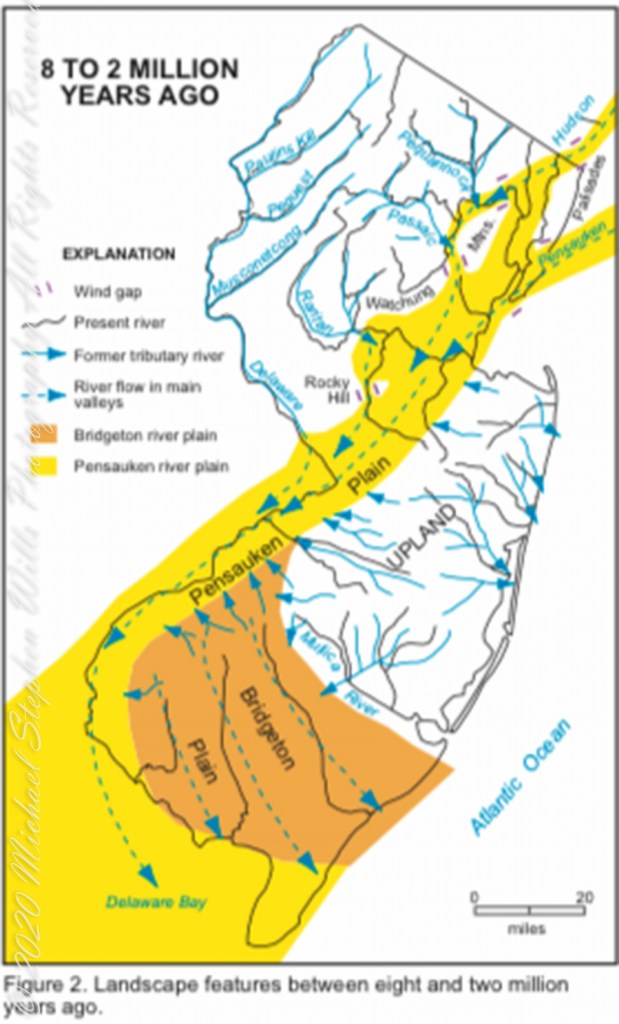
Visual presentation of Pinelands geologic origins, from New Jersey Geologic Survey, Scott Stanford author, 2005.
Between 15 and 10 million years ago the earth climate turned colder, so much water evaporated from the oceans to fall as snow and ice in the polar regions ocean levels fell 150 to 250 feet. As the ocean fell away, over eaons, mountains to the west were ground down, pulverized by the elements to flow, gather on the exposed plain. The white “beach” sand we see today, at Quaker Bridge and other Pinelands places, are surfaces of this “Cohansey” sands and clay ranging in thickness from 25 feet in the west to more than 300 feet at the Atlantic Ocean.
Over millions of years the land raised to become the drainage patterns we see today. The renewable resources of “bog iron” and water spring from this history.
Visual presentation of Pinelands geologic origins, from New Jersey Geologic Survey, Scott Stanford author, 2005.
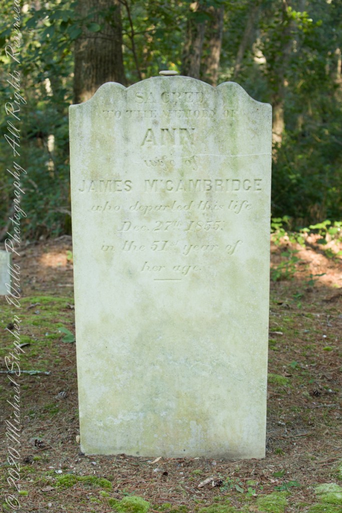
Standing there I imagined Great Great Grandmother Ann (Milley) McCambridge resting on the journey from the McCambridge home near Speedwell. I placed the pebble, collected from Long Island Sound, on Grandmother Ann’s headstone the evening of August 26th. Click this link for more about Ann McCambridge.
Sacred to the Memory of ANN wife of James McCambridge who departed this life December 27th 1855 in the 51st year of her age.
Reference
I found Quaker Bridge background in “Heart of the Pines, ghostly voices of the Pine Barrens” by John E. Pearce, pp 748 – 750, Batsto Citizens Committee, 4110 Nesco Road, Hammonton, N.J. 08037-3814.
November 2003 my son, Sean, and I drove up route 191 from the Petrified Forest National Part to arrived at Chinle on a November afternoon. In 2003 my photography kit included a Sony Point and Shoot 5 MP camera with filters, an over the shoulder (purse type) bag and an inexpensive “Kmart” tripod.
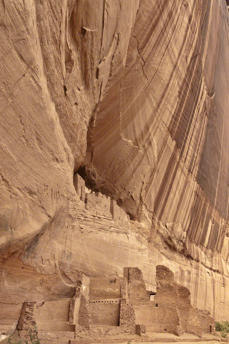
We found the White House trailhead, hiked down essentially alone as the sun set at 5:20 pm. At that time, a thick stand of Russian Olive trees choked the wash. We stopped at this point in the gathering dark. I took this distant shot of the White House Ruin against the Russian Olive autumn foliage. A stand of Cottonwoods growing near the canyon wall had yet to turn their brilliant yellow. At that time, the White House Ruin was painted white.
When Pam and I visited July 2008, in the intervening 4 years, 9 months the Russian Olives were removed as an invasive species, the ruin was no longer white.
There is one highway headed south in the Four Corners region of Northern Arizona, the same route 191 Sean and I took. In 2008 Pam and I came from Colorado south on 191, also arriving late afternoon.
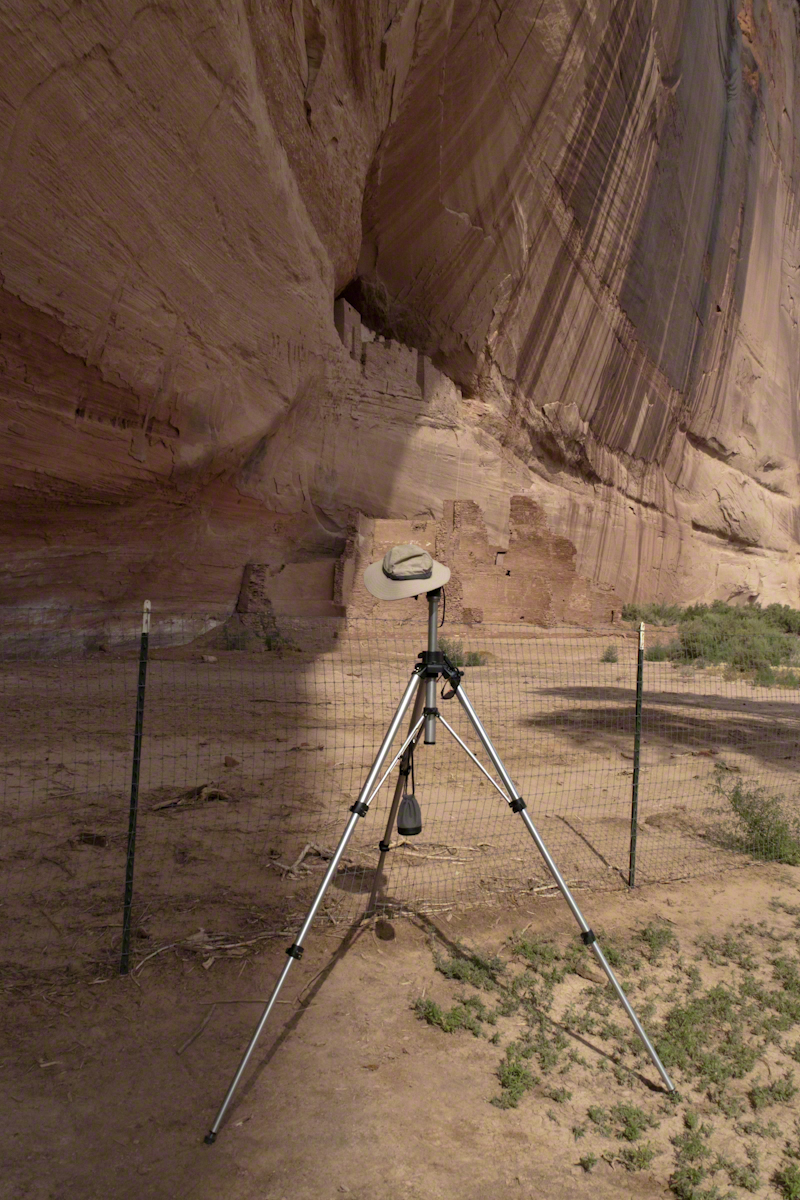
That July day the sun set 8:33 pm as the Navajo Reservation observes daylight savings time. My goal was to photograph the White House Ruin I missed in 2003. We arrived at the trail head. My photography kit was expanded from 2003, now included a Kodak DSC Pro slr/C, the “C” meaning “Canon” lens mounting, a Sony 700 alpha slr (I only use a variable lens), Manfrotto tripod with hydrostatic ball head, and the backpack style Lowe camera case. With the tripod it is over 25 pounds.
With this on my back I was prepared to boogie down the trail. At the height of tourist season there were many more people at the trailhead. Pam, being a friendly person, started a conversation while I ploughed ahead along the flat canyon rim. It is solid red sandstone, beautiful, generally level with enough unevenness to require attention. When Pam saw how far ahead I was she tried to catch up, tripped, fell hard.
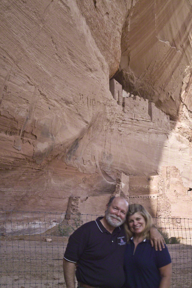
I backtracked to Pam and we pulled it together. She thought, maybe, the fall broke a rib. We descended, slowly, together. Here we are in front of the ruin. The sun, low in the sky, is moving below the south canyon wall. This is a perfect time and I used both cameras.
Mike and Pam Wills with the White House Ruin, Canyon de Chelly, July 2008
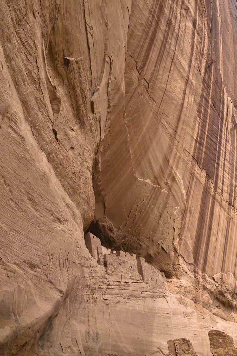
The sweep of cliff and desert varnish was my intent to capture. Here it is through the Canon 50 mm lens.
Wednesday last, grandson Sam, three years old at the time, and I wandered the landscape, catching the sights of summer. Eventually, we visited Sapsucker Woods, a Cornell University nature preserve. There, a boardwalk over the swamp is a proven venue for frog spotting and, this day, we had some success.
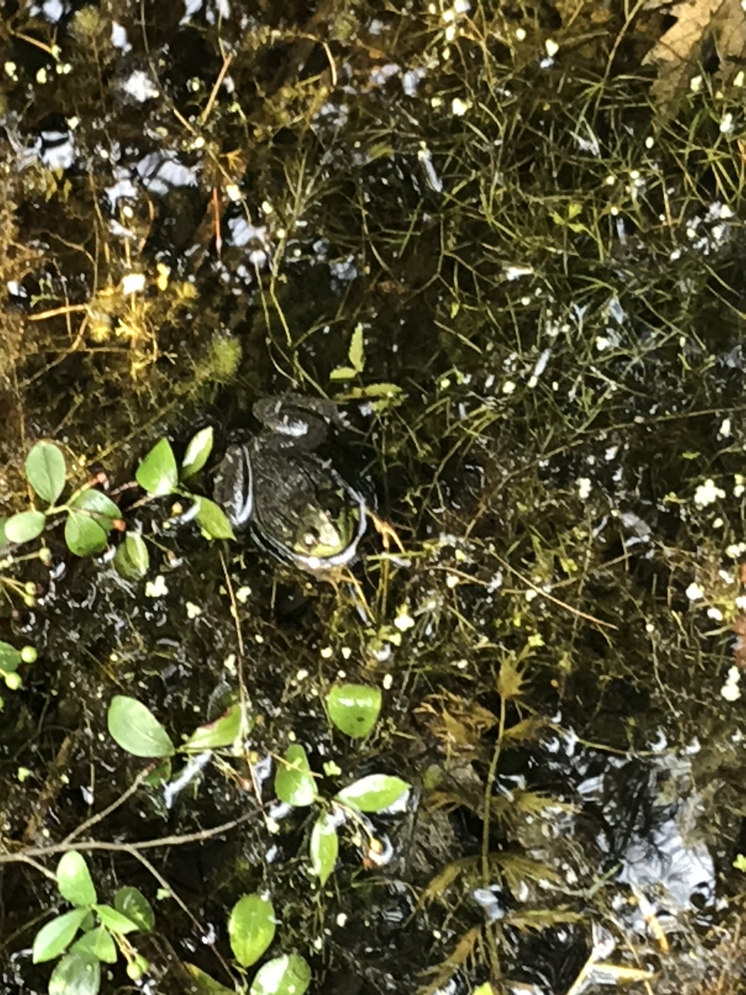
We found this cooperative golden-eyed beauty calmly squatting and croaking.
In this 30 second clip, reflected light off the water surface captures proto-croaks that did not quite escape from the source. There is a successful and full croak finale.
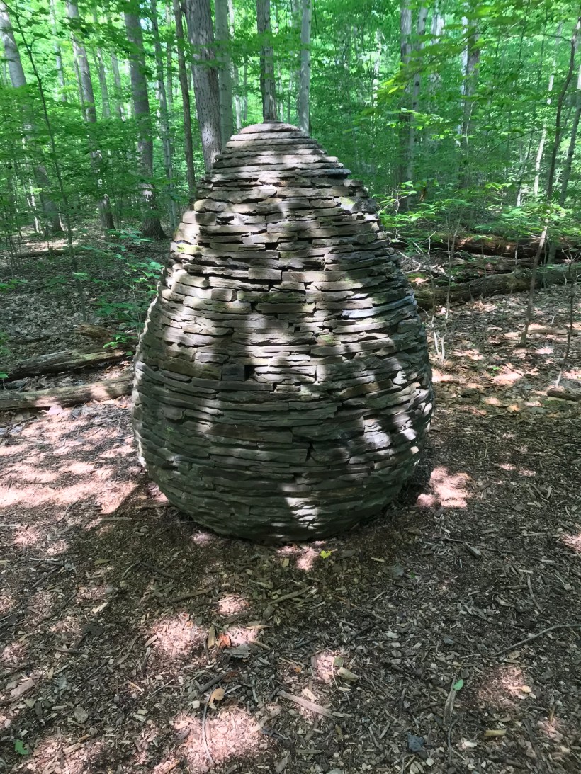
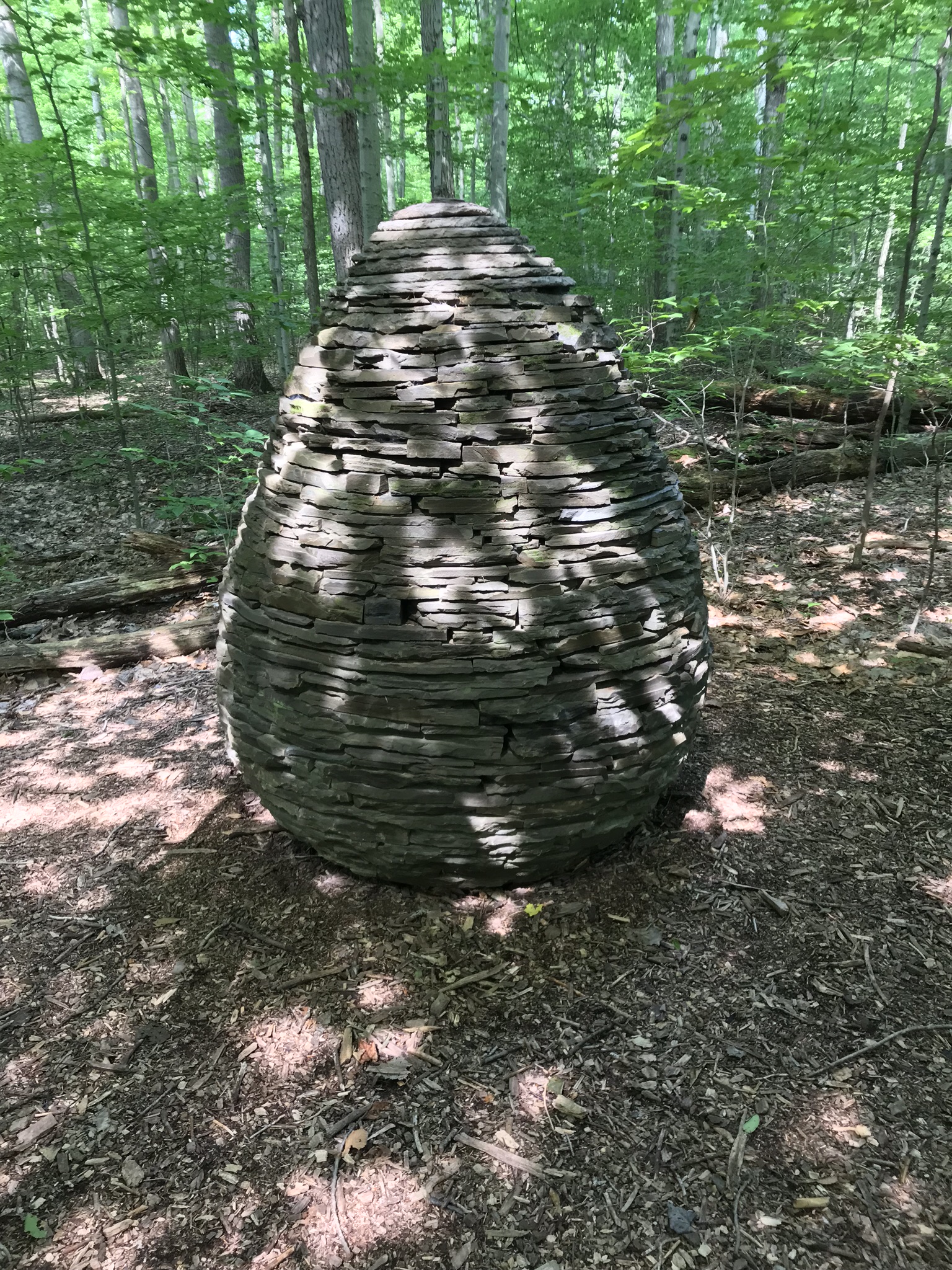
Off the boardwalk, we took a short detour to view an elaborate cairn built of local rock by a famous artist. The dappled sunlight across the surface is especially enjoyable.
The Sapsucker Cairn, Andrew Goldsworthy
At the furthest extent of the preserve is this pond where the residents were notably raucous in this 30 second clip.
About this time the mosquitoes descended for a determined attack on Sam’s legs. “Itchy,” he said. Myself, protected by deet, they left alone. Sam’s Mom prepared him for the trip with natural mosquito repellent that was not up to the task. Next time we visit, Sam will wear long pants and sleeves fortified with deet.
Just before picking Sam up for a quick retreat, I caught this turtle encrusted in duckweed sunning on a narrow branch. The head is retracted for the moment, can you imagine someone wading through that muck to place a rock? It is possible, but I witnessed the head, so am absolutely sure.
Special thanks to blogger shoreacres for the identification of duckweed. In my original posting I called it algae.
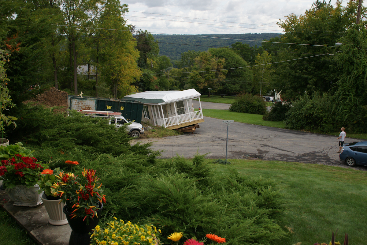
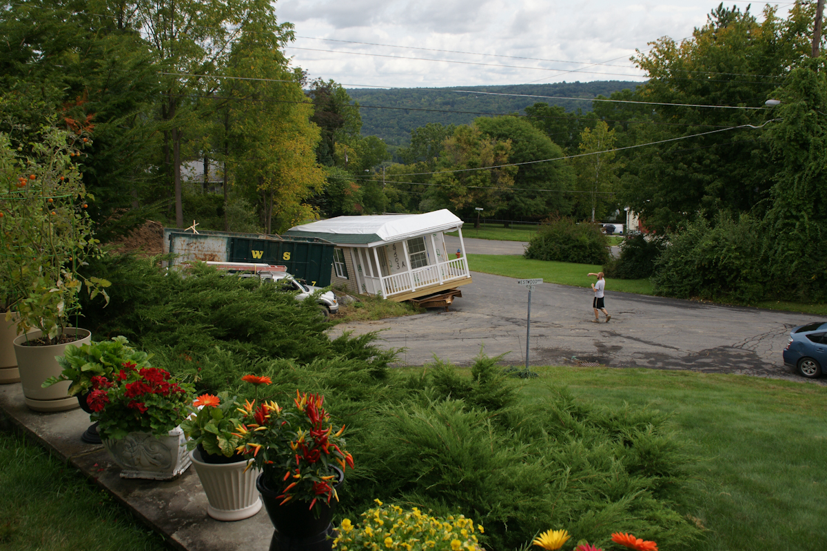
When Pam and I made Westwood Knoll our home in 2011, to the north, across the street, was an empty wooded lot that has since been subdivided into three of the last home sites in Ithaca. This summer, the corner lot was razed of all its trees, the lovely mature cherry, sycamore, ash, maple reduced to stumps to be cut up and carted away. There was a positive in that the lot was overgrown and unsightly, but every spring the upper reaches were masses of blooms and young green leaves.
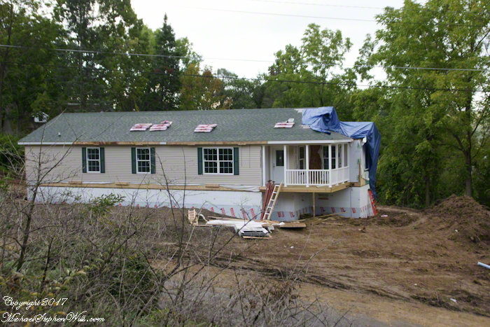
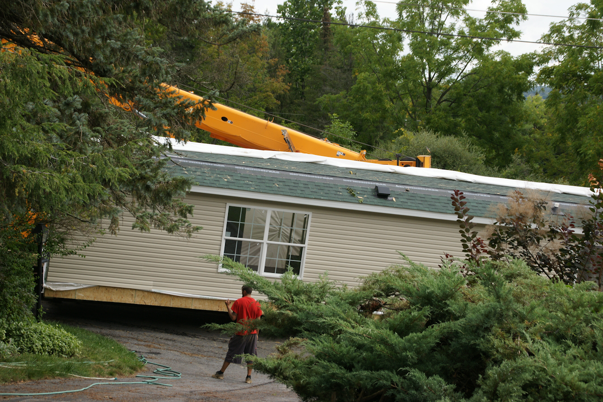
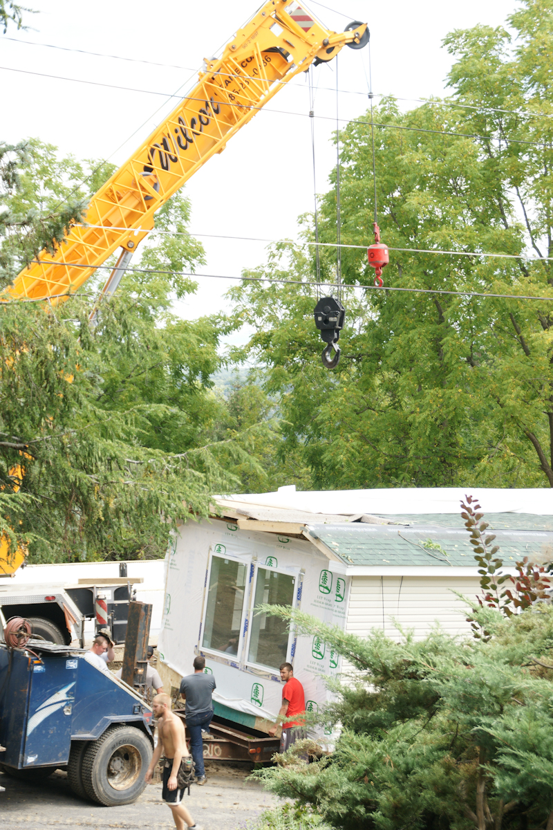
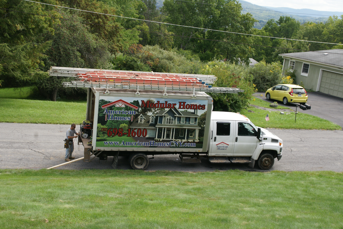
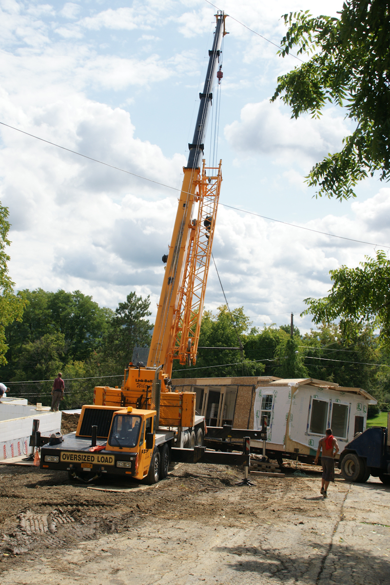
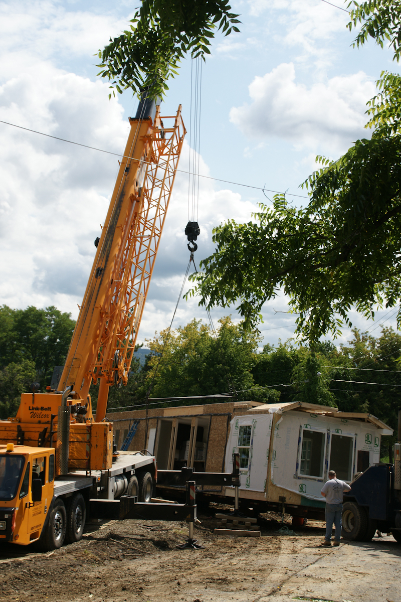
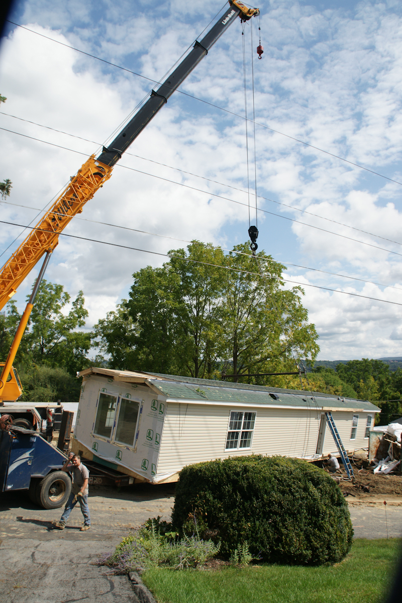
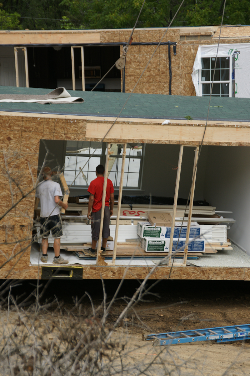
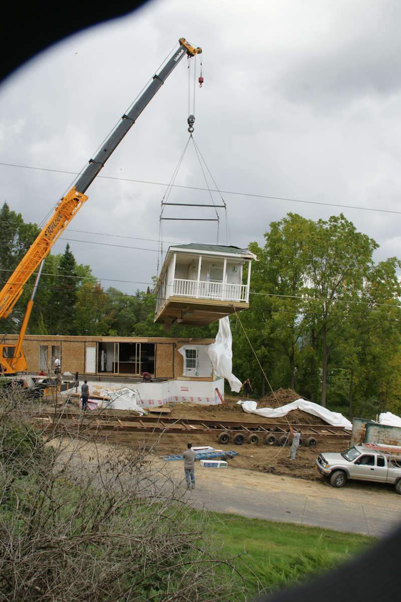
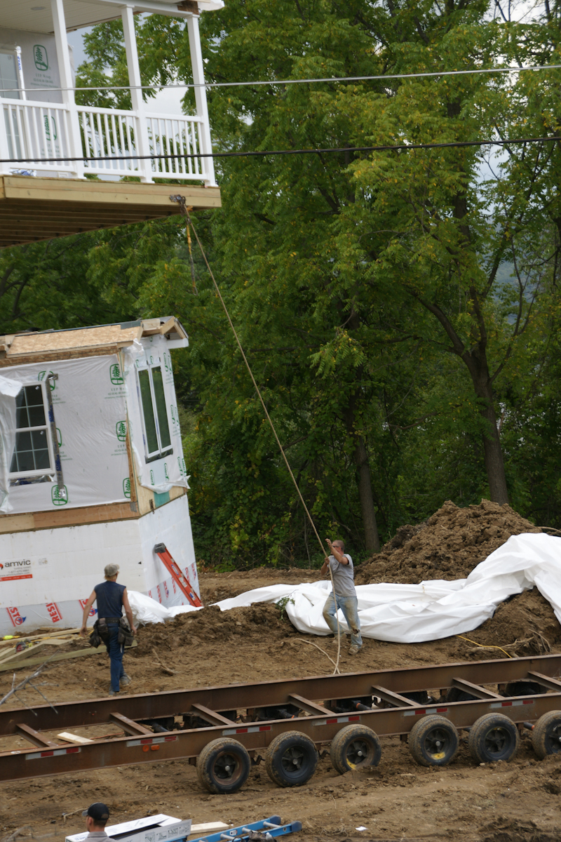
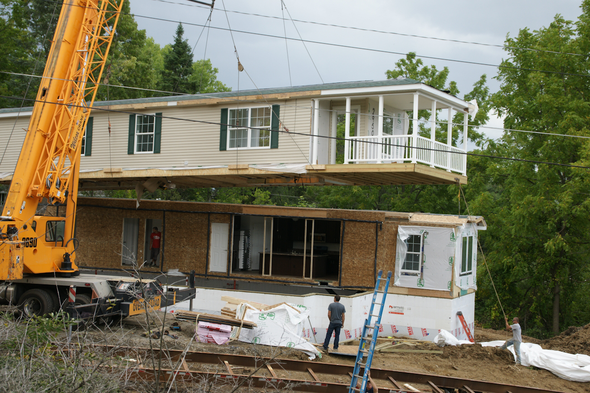
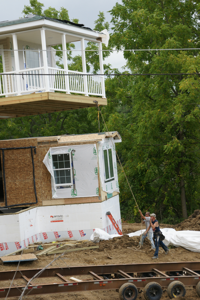
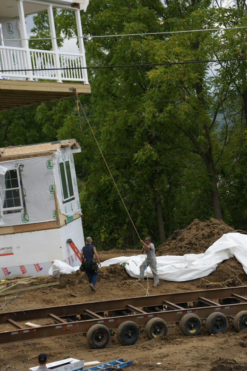
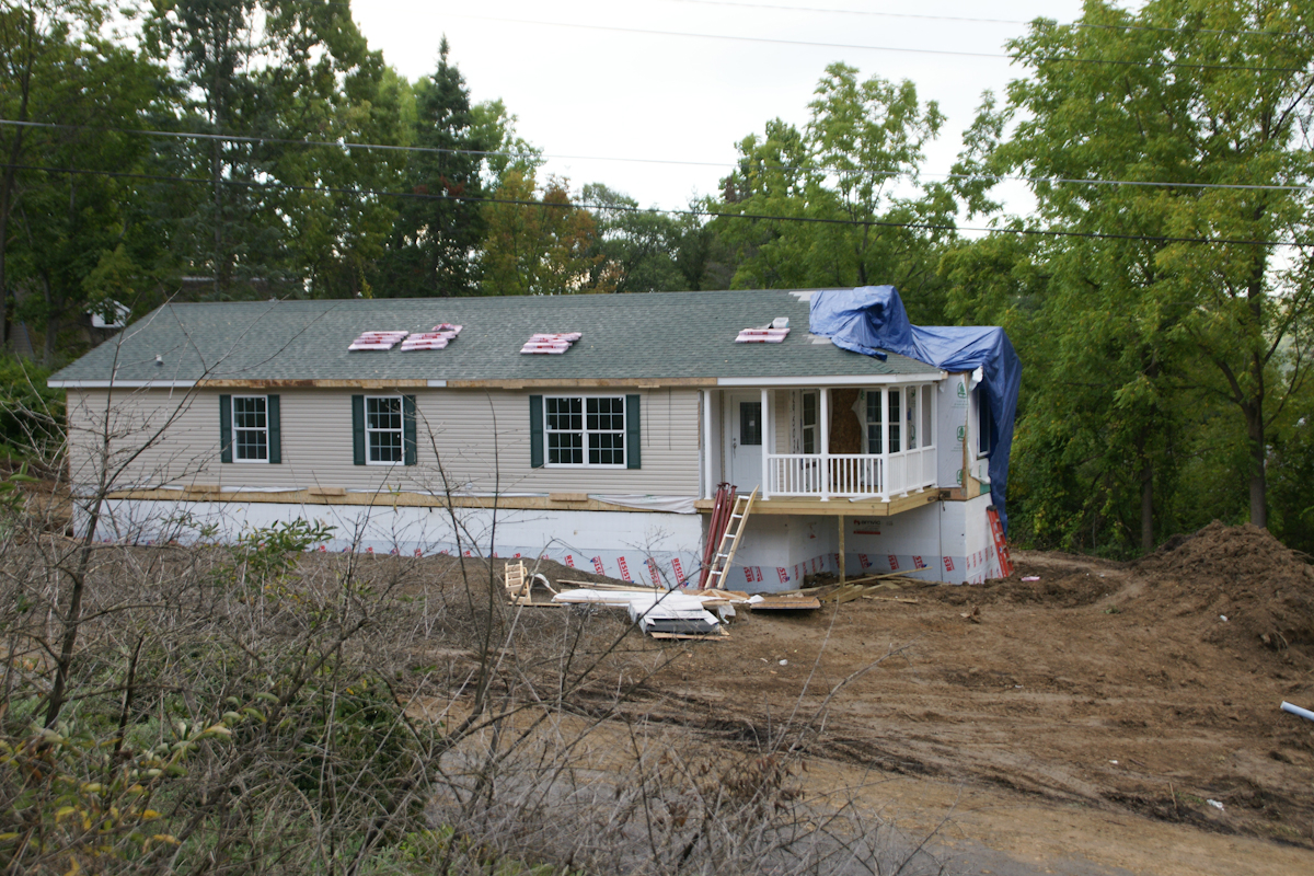
In a heavy rain on September 5th, 2017 the two parts, call them “modules”, were delivered, and then sat until September 7th to be assembled in one day. The process itself was interesting to witness and, while being otherwise occupied, I came out now and then to document the progress.
Here are my photographs. What do you think? Please leave comments.
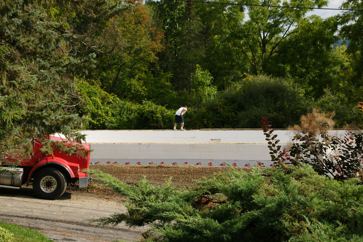
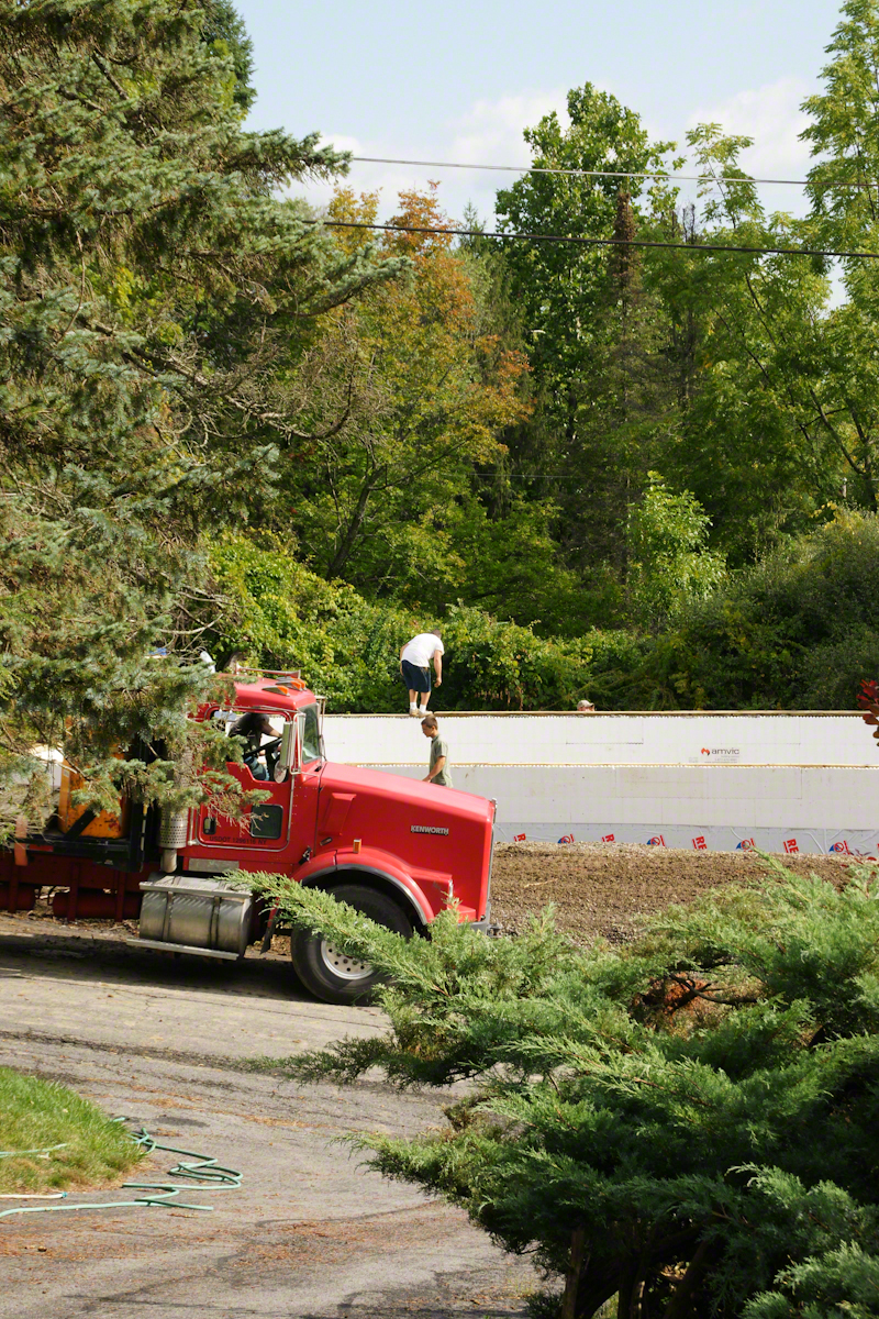
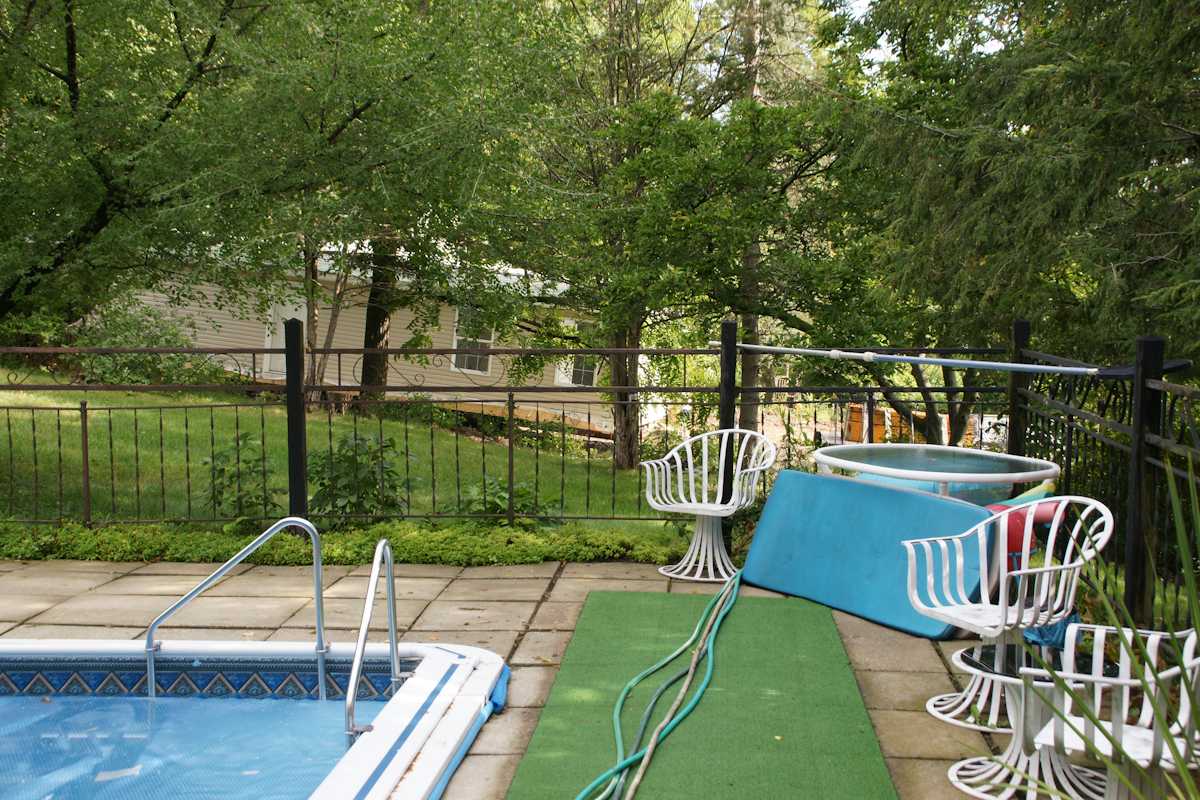
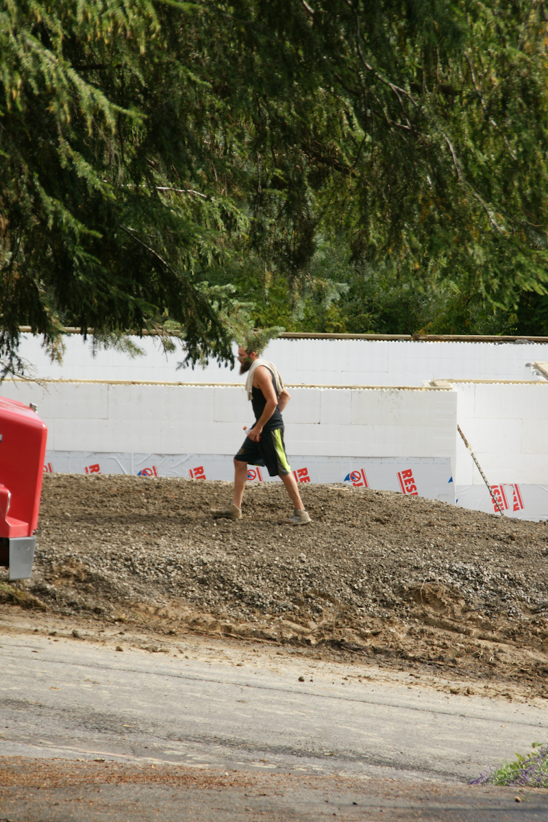
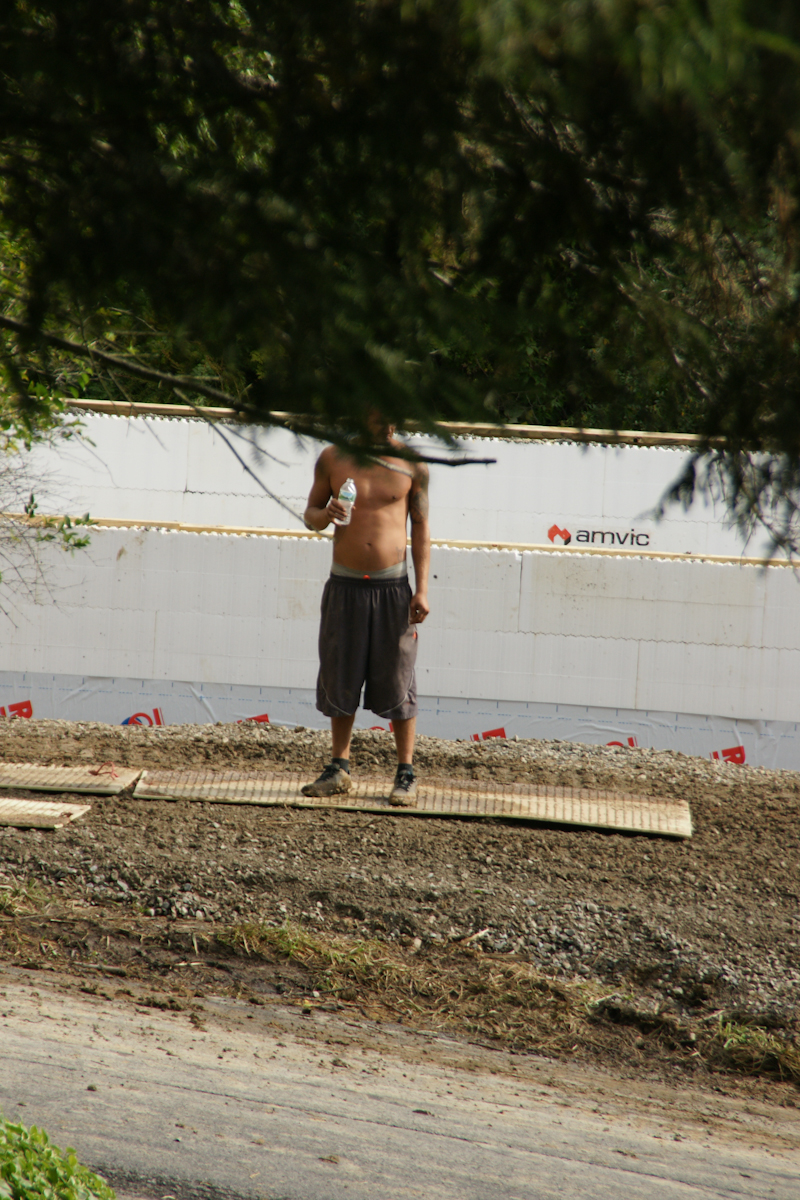
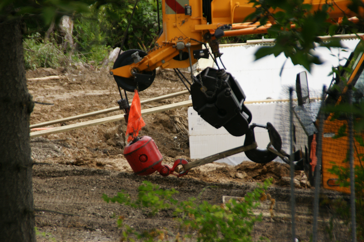
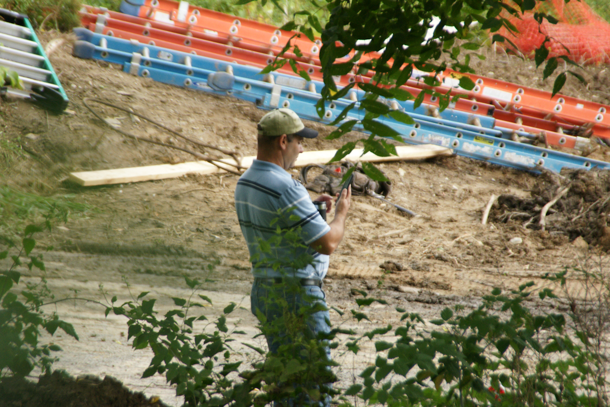
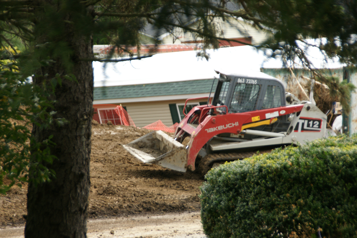
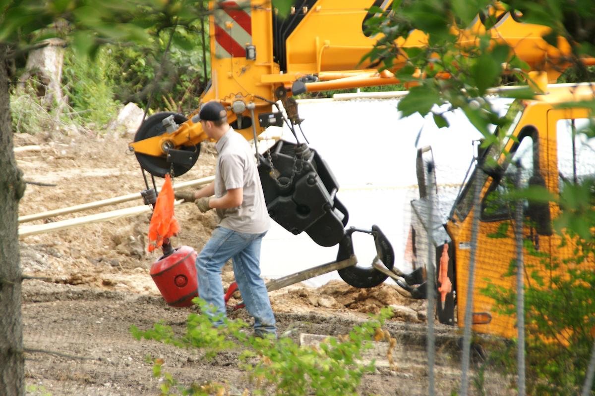
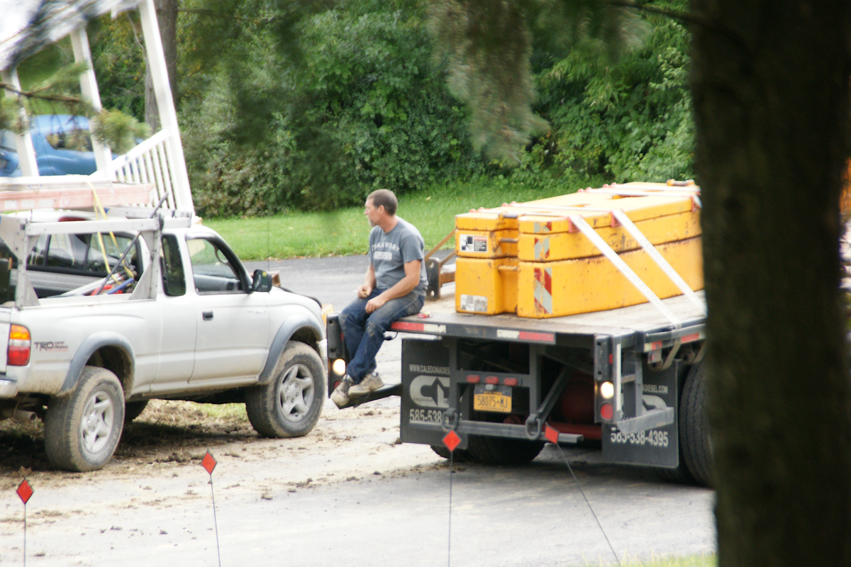
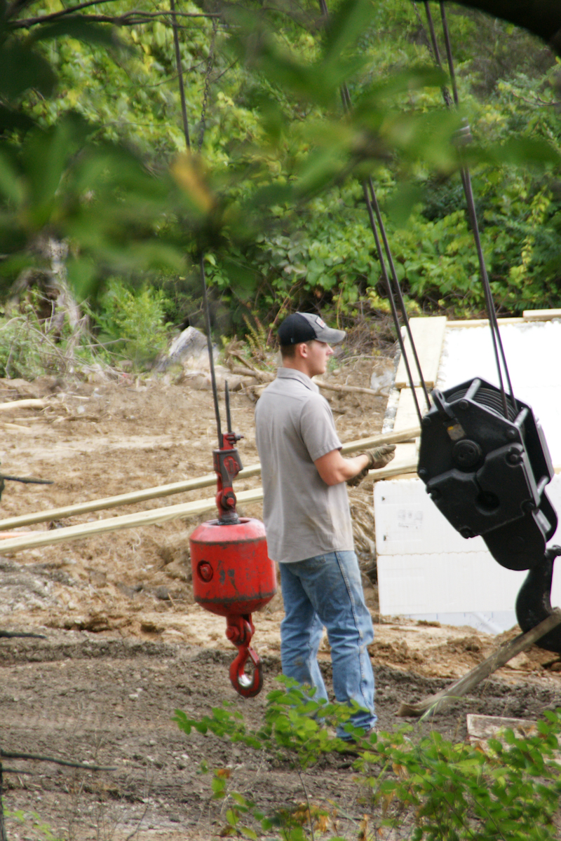
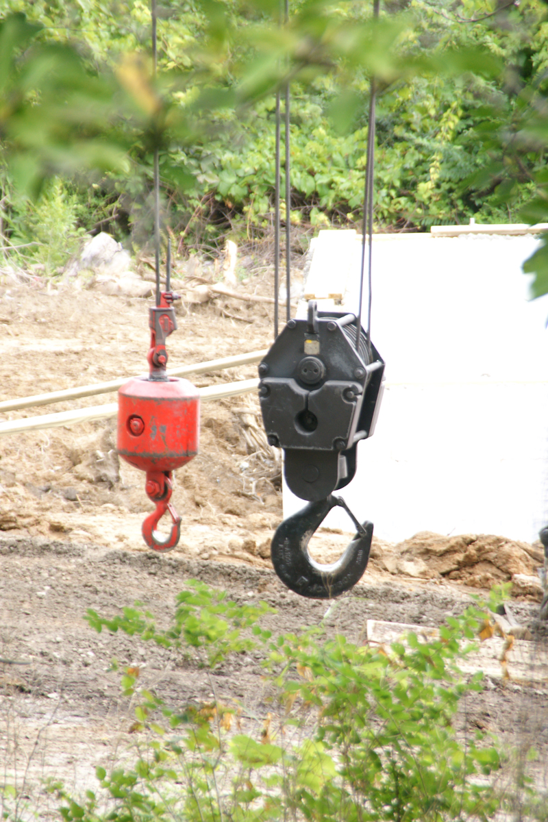
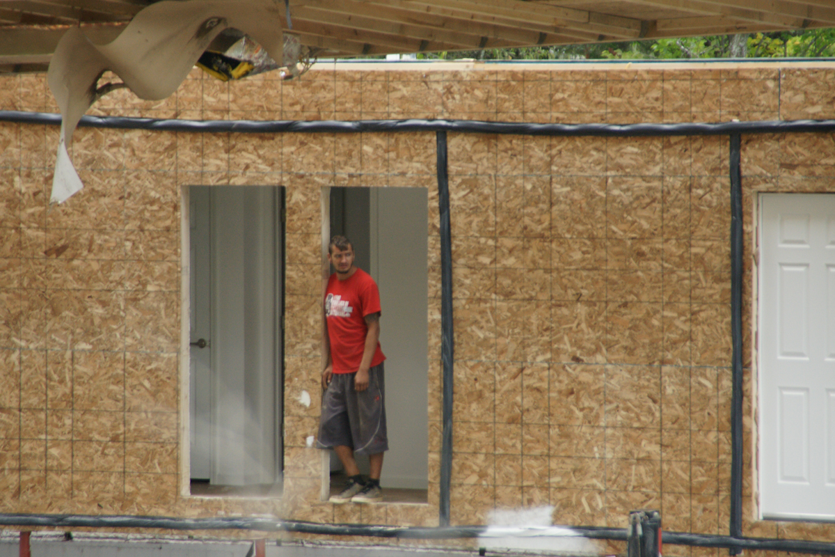
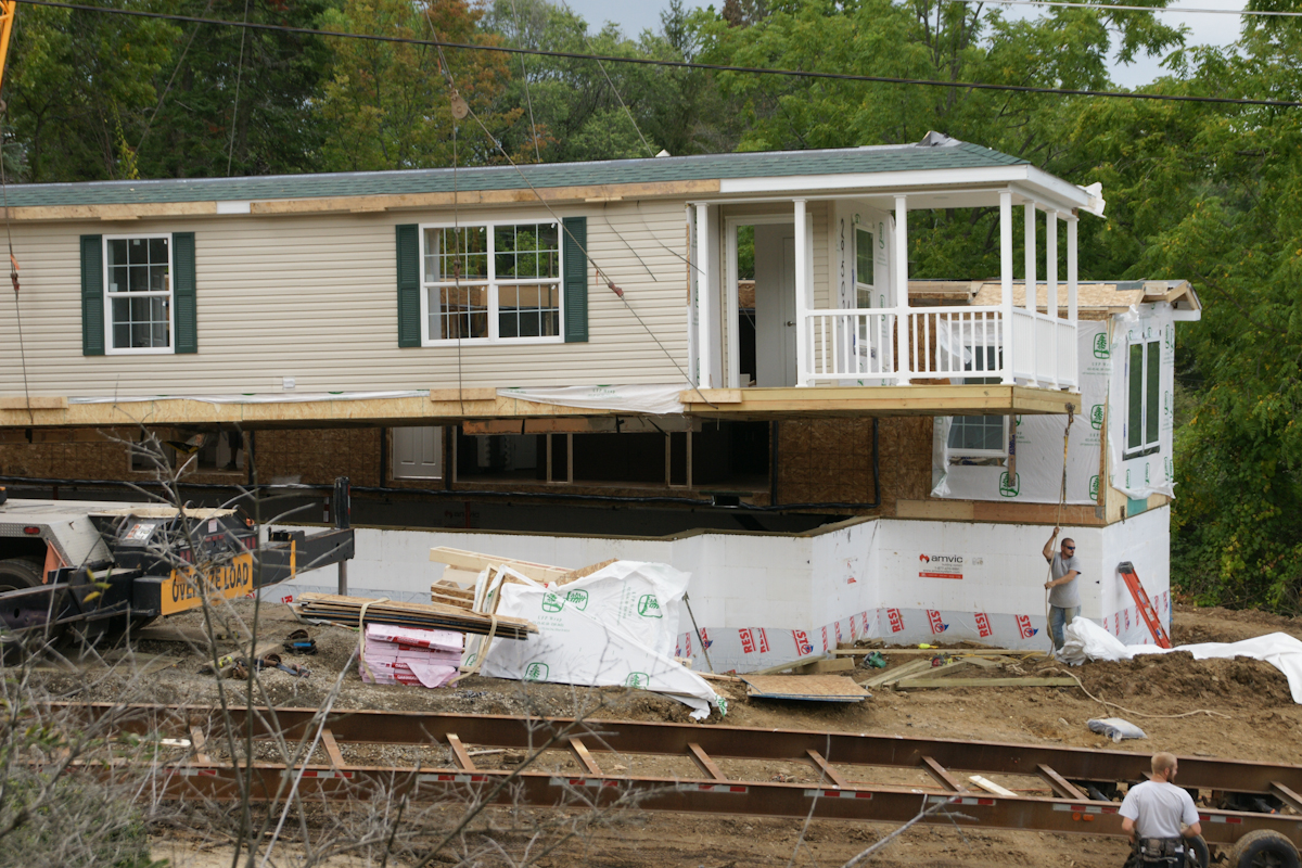
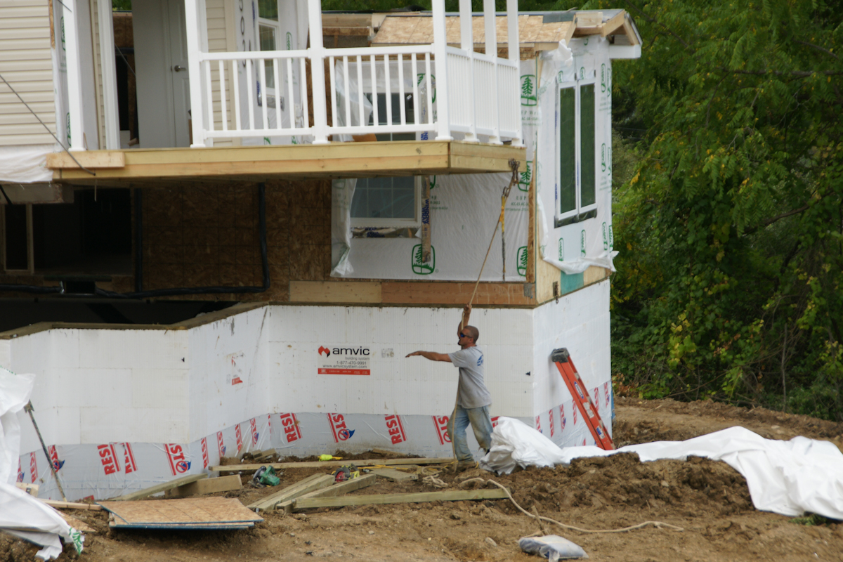
The foundation installation took a week to construct. It started with, literally, blocks of styrofoam held together with plastic and assembled by hand, like a child’s block set. There is an 8 inch gap in between filled with concrete. There was NO rebar used. bolts were inserted for attaching the modules.Module Two was delivered on wheels and moved into position by this semi.Module Two will eventually face the opposite direction. That will be the rear door. This is our swimming pool, I use garden hoses to siphon excess rainwater.Most of the workers were dressed like this, casually, no protection for feet or head. We were concerned with this. No one was injured this day, as far as we know.The worker is standing on a board on which the crane wheels will rest.Crane Boom End with hooks in transport configuration. These are attached to the modules for positioning over and lowering onto the foundation.This fellow arrived to take pictures from that smart phone.A versatile tracked loader used throughout the foundation construction and module installation.A worker prepares the hooks for use. No head protection was a concern to us.Yellow blocks of metal used to support the crane.. A railing of Module One is above the truck, to left.The red hook is ready.The hooks hang free, ready to use.This is where Module One was dumped on the side of the road on September 5th, two days before installation.We are looking here over the edge of our patio and landscaped yard to the site of module one, pre-installation, a worker approaching.The first step was to extricate module two from the mud and haul it up the street. A construction worker foreground, the boom of crane beyond.The semi backed Module Two into position, the crane boom and hooks loom.The workers were considerate of our lawn. There was minimal damage. The modules installed this day looks nothing like this image.From here Module Two will be lifted onto the foundation.Workers prepare foundation to receive Module Two while the unit is readied.I see only the black hook is in use.Another View of Module Two with worker. That is the bottom of our driveway.Module One was delivered with construction materials inside.The porch and entry door of Module One with worker and rope. The worker needs to negotiate the carrier.A 180 degree turn orients Module One to Module Two. The porch overhangs the foundation.
Positioning module one over foundation.
A worker observes from the interior of Module Two. Here is a closer view of the wire harness.
Final positioning of the module to form a whole structure.
The roof panels are here lifted to a peak. The shingles and such in place for installation. These are the materials delivered inside Module One.
Update: since this post was first published September 2017 the original owners moved to the southern USA after selling the property at an inflated price to a young Cornell professor.
Copyright 2021 Michael Stephen Wills All Rights Reserved
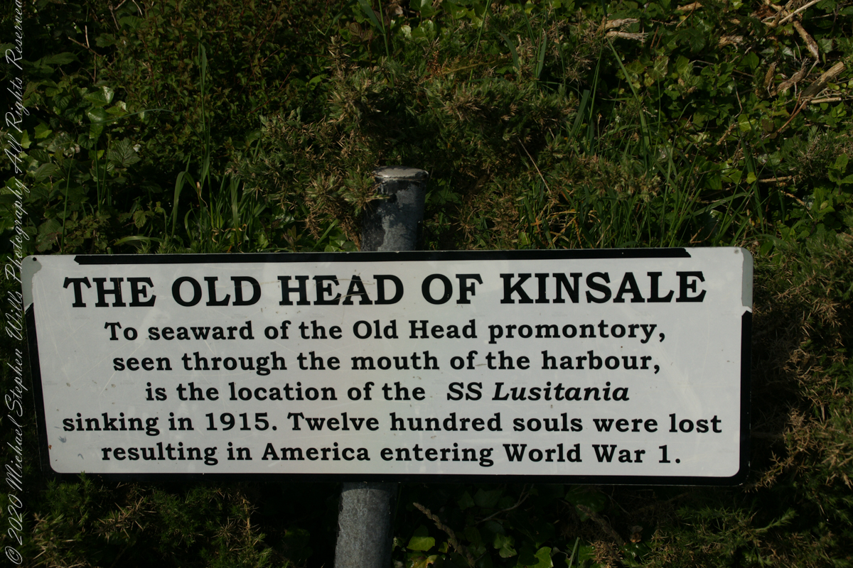
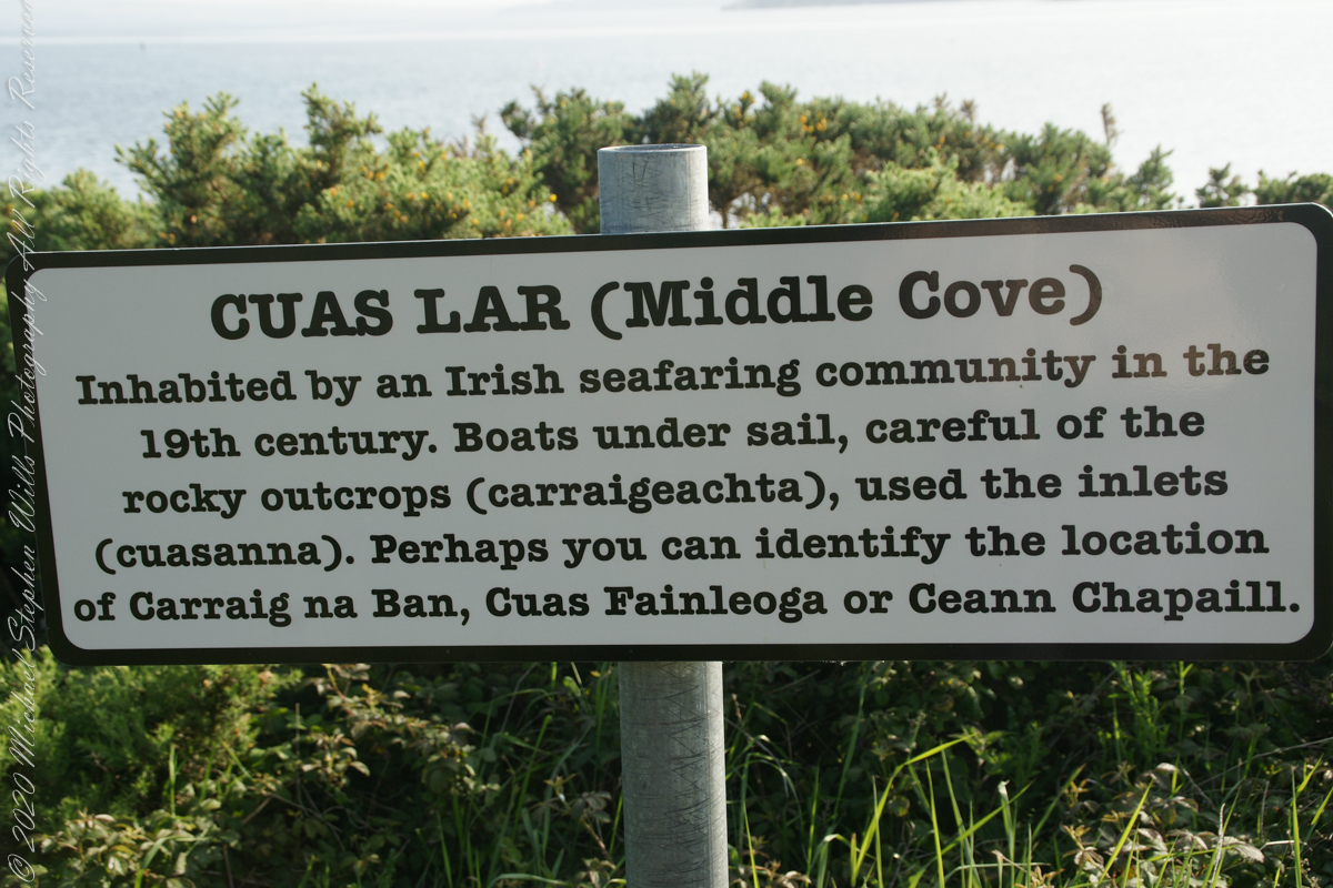
The view referred to by placard is to the right. The Old Head of Kinsale is the distant landform, looking right to left, is the portion that drops off to the ocean.
Click any pic for a larger view, in a new tab, or a slide show. When using WordPress Reader, you need to open the post first.
Here is a Google Maps screen capture showing the relationship of our position (the unnamed red drop-pin) on the right, and the Old Head of Kinsale landform, seen below the lable “Ballylane.”
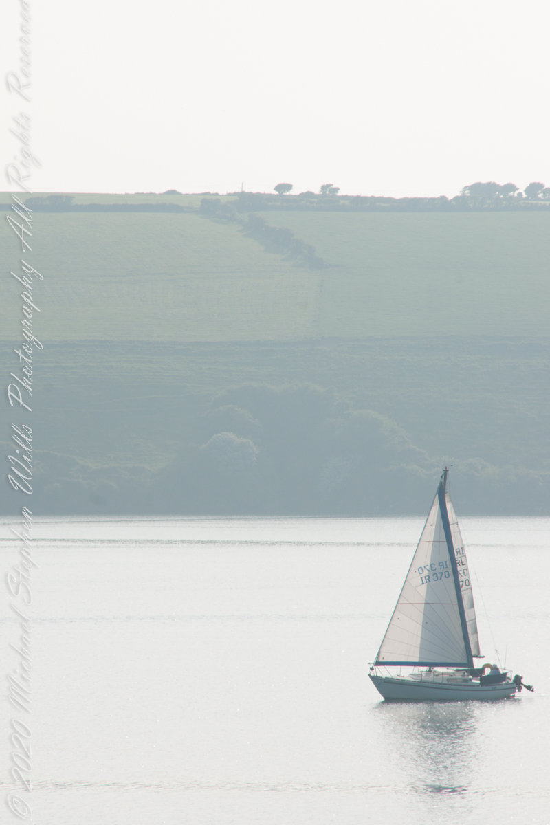
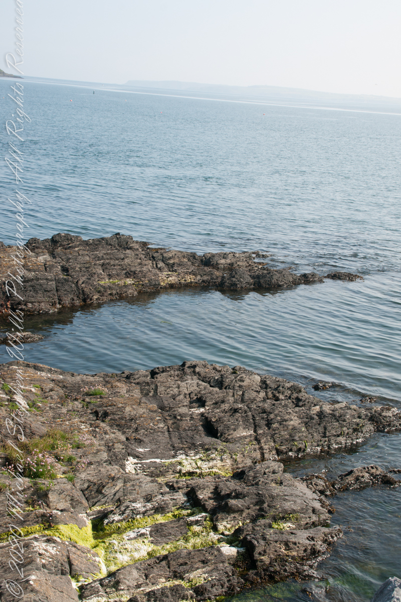
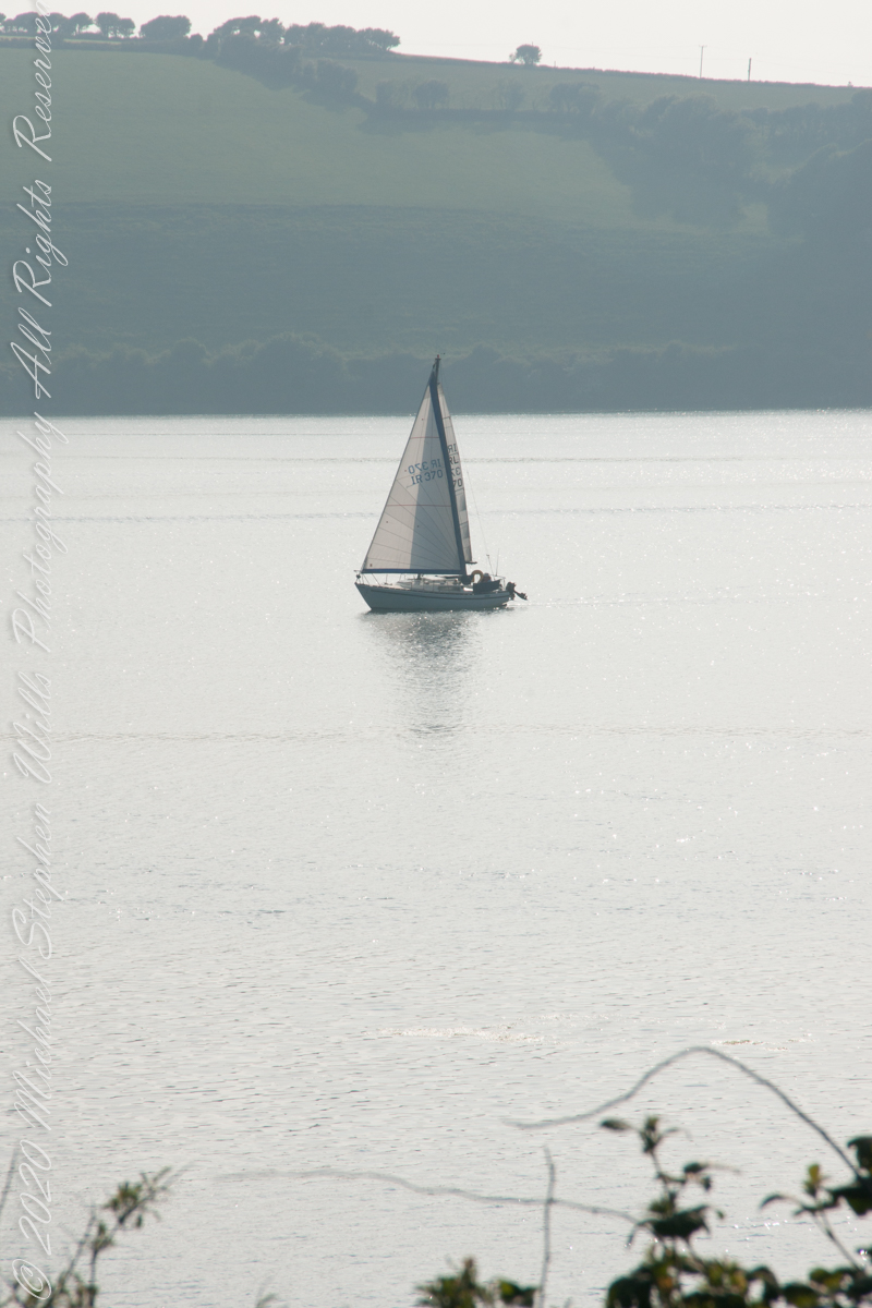
Here are the views looking toward the Celtic Sea, the Old Head of Kinsale and the cliffs at our feet.
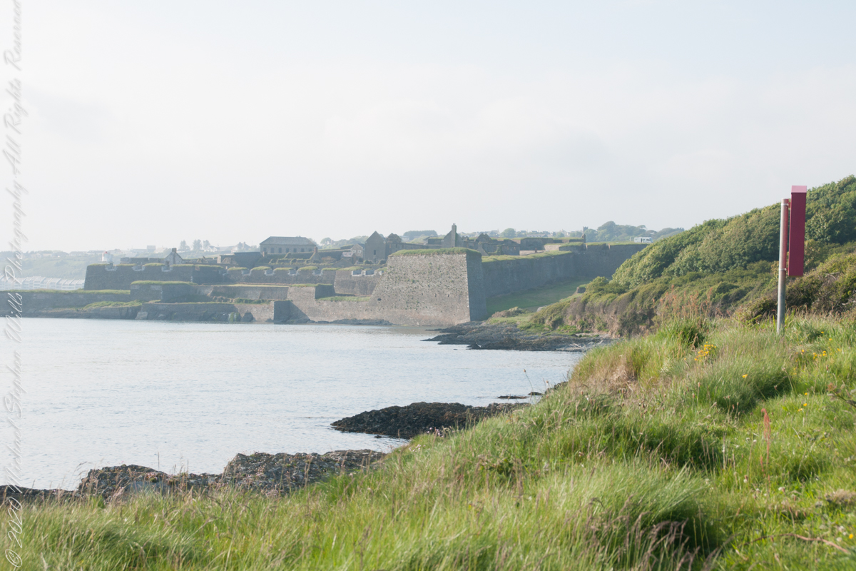
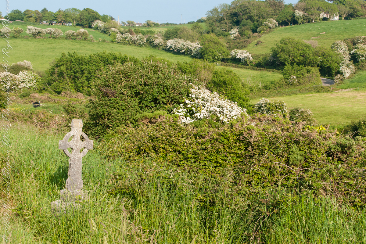
Looking back toward Charles Fort
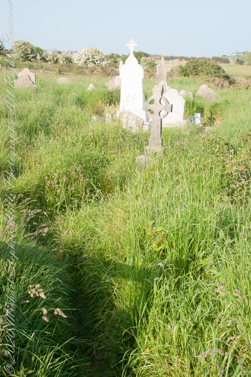
This cemetery is unmarked on the maps I use.
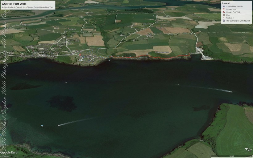
Here is a Google Earth view of our walk, the red line. The view is looking east from above the former “de Courcy family parkland.”
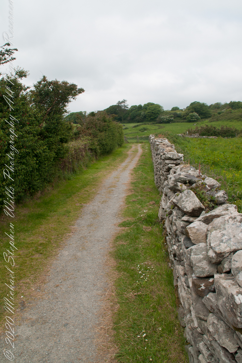
A half mile footpath, marked in red, leads from Charles fort along the shoreline cliffs, surmounted by working farmland.
Copyright 2021 Michael Stephen Wills All Rights Reserved
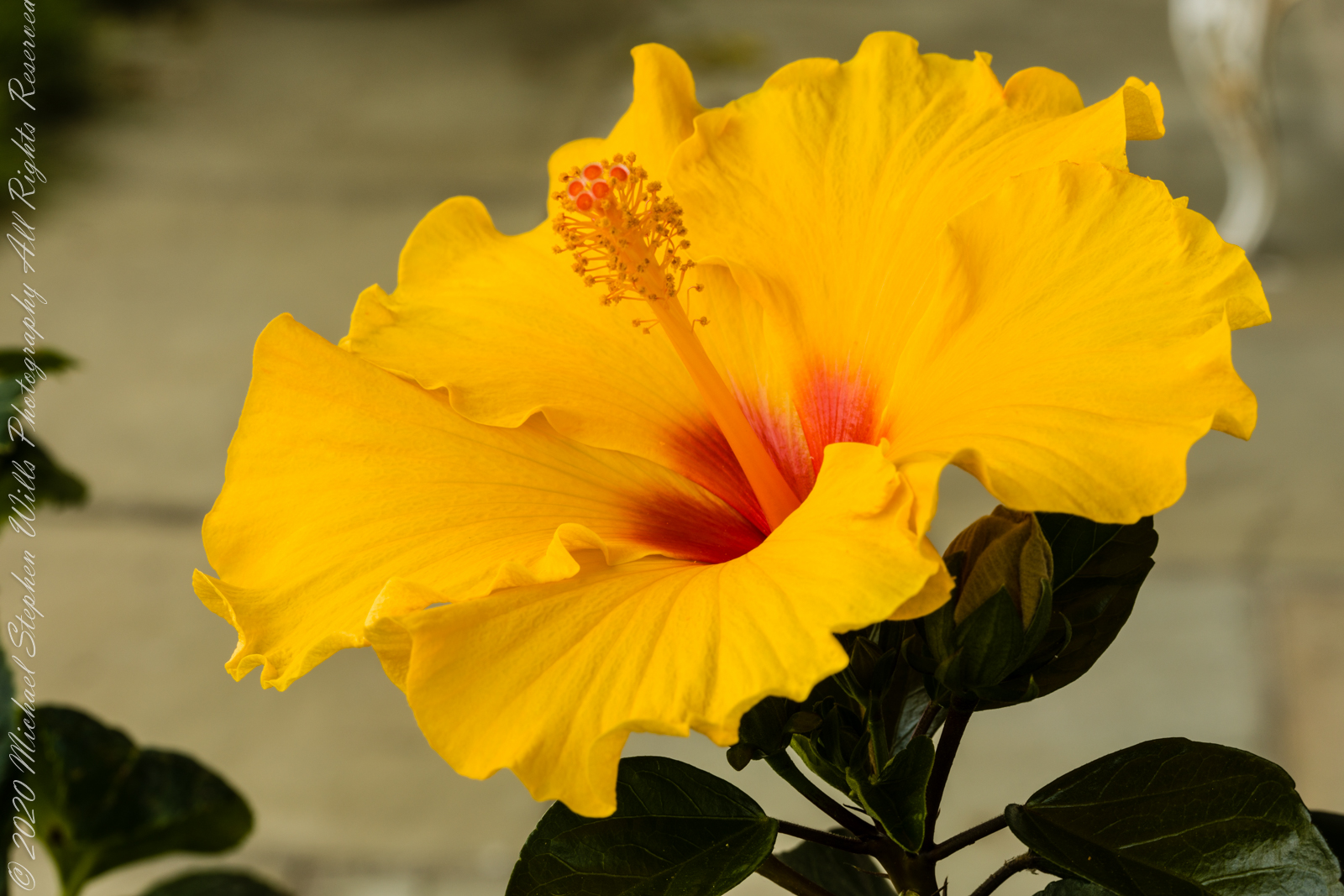
Evening breezes brought to a halt my series of hibiscus bloom photographs, that bloom faded and shriveled, to be replaced by another. I captured the images of this post on a very quiet summer evening. This bloom was facing up closer to vertical that the previous.
A key identification for all 300 species of hibiscus is the long stamen tube. I have yet to see a local insect interacting with the stamen, always they are in the flower throat. In the tropics, pollination is thought to proceed from large butterflies and birds.
Click photograph for larger view in new tab. From WordPress Reader you need to open the post to use this feature.
ISO 100, 1/10 sec at f / 14
ISO 100, 1/6 sec at f / 14
Here are three macro photographs of this bloom, all from the Canon 100 “macro” lens. I learned by experience to tamp down the diaphragm to the smallest setting, f / 32 for this lens. The different aspects were achieved by moving the lens objective closer to the bloom. This is a “fixed” lens, it has one focal length.
ISO 100, 1.0 sec at f / 32
ISO 100, 1.3 sec at f / 32
ISO 100, 1.3 sec at f / 32
References
Wikipedia – “hibiscus.”
Copyright 2021 Michael Stephen Wills All Rights Reserved