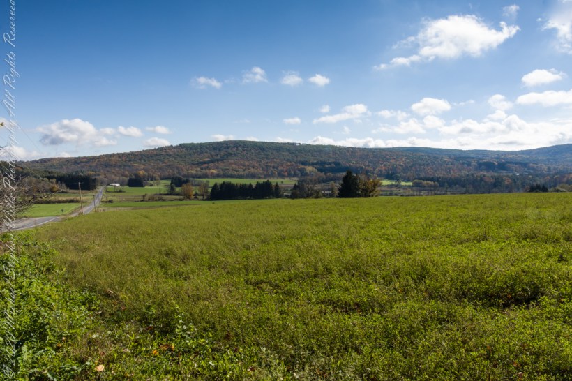
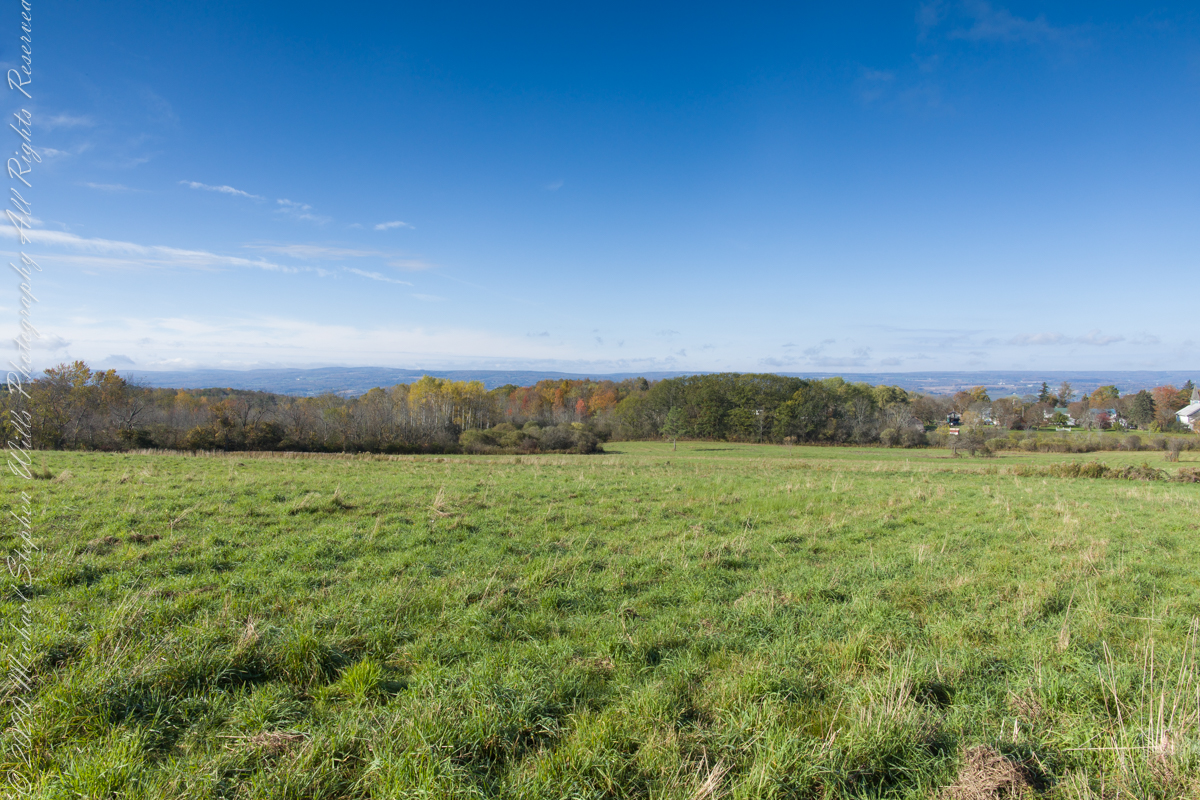
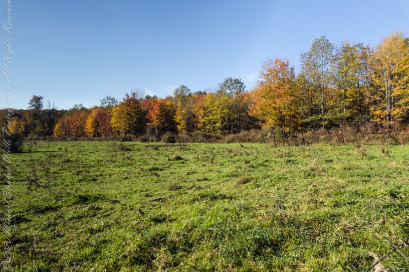
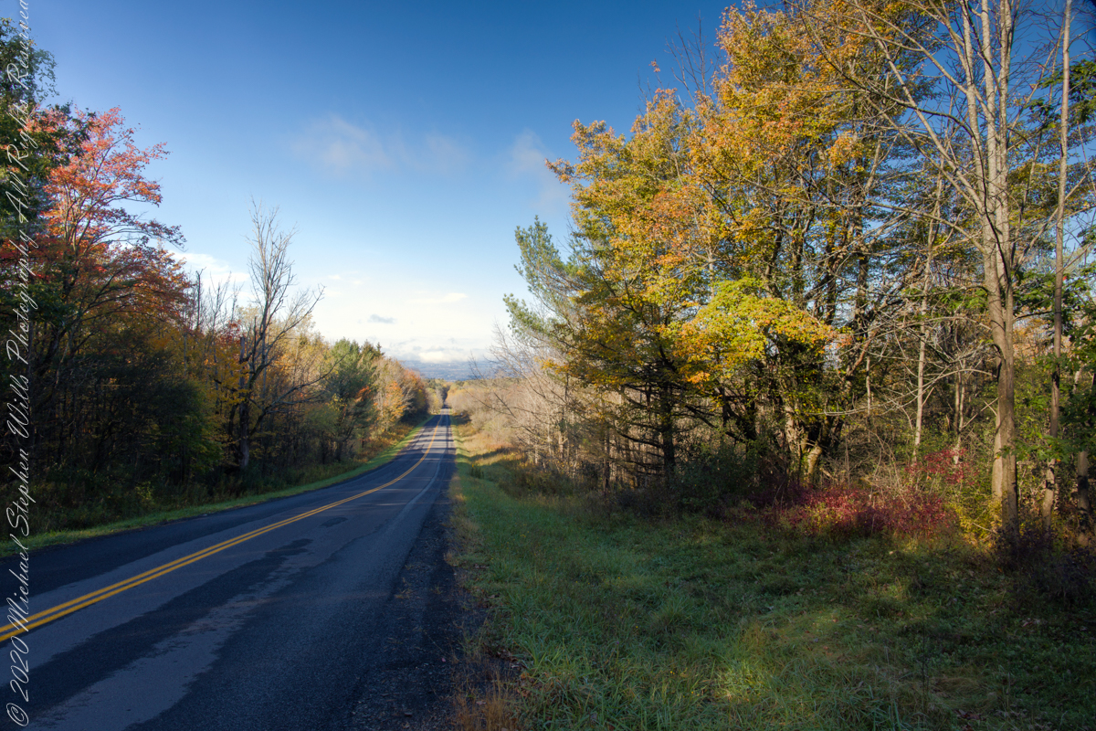
On our roundabout return from Finger Lakes National Forest we turned off Rt 79 at Mecklenburg onto county route 6 that becomes McIntyre Road in this stretch between two right angle curves. We turned off at the western curve with this fine autumn overlook toward Buck Hill.
Click photograph for a larger view. To do this from WordPress Reader, you need to first click the title of this post to open a new page.
Mornings are best for the west side of Finger Lakes National Forest ridge facing west over Seneca Lake. Set deep between hills, lake water is not visible, the distant land is the west side of the lake.
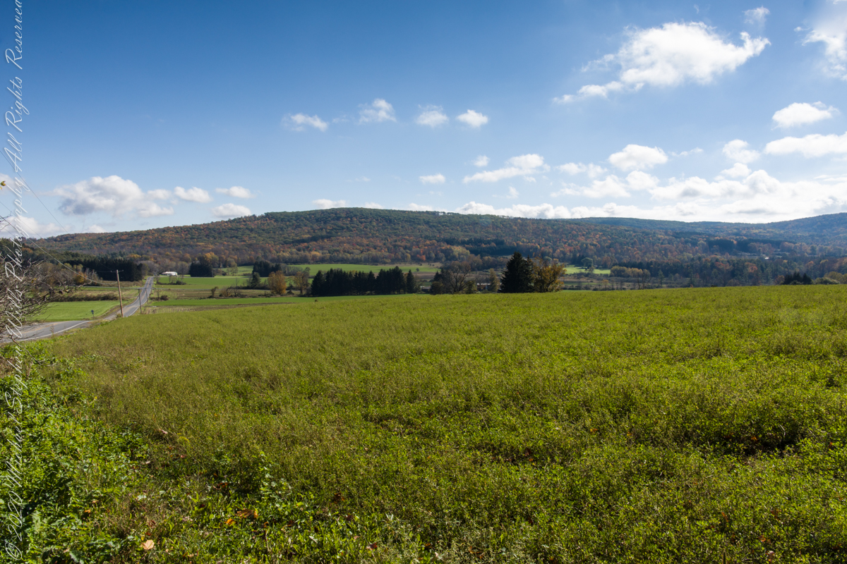
An abandoned church converted to Community Center is the distant steeple, marking the hamlet of Logan. I played a bit with the vista, moving forward and across, forgoing temptation to bring the autumn foliage front and center as this was private pasture, was 50 feet in as it was.
Click photograph for a larger view. To do this from WordPress Reader, you need to first click the title of this post to open a new page.
Click photograph for a larger view. To do this from WordPress Reader, you need to first click the title of this post to open a new page.
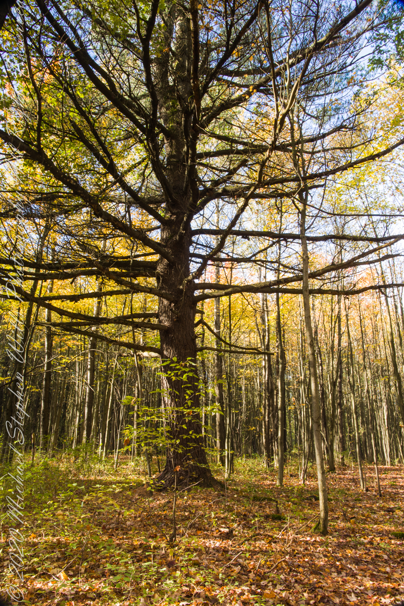
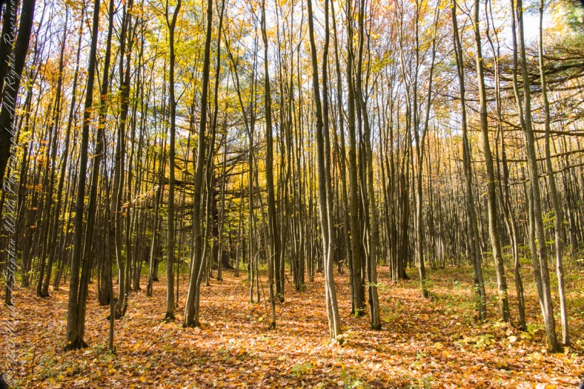
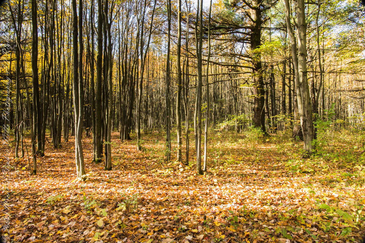
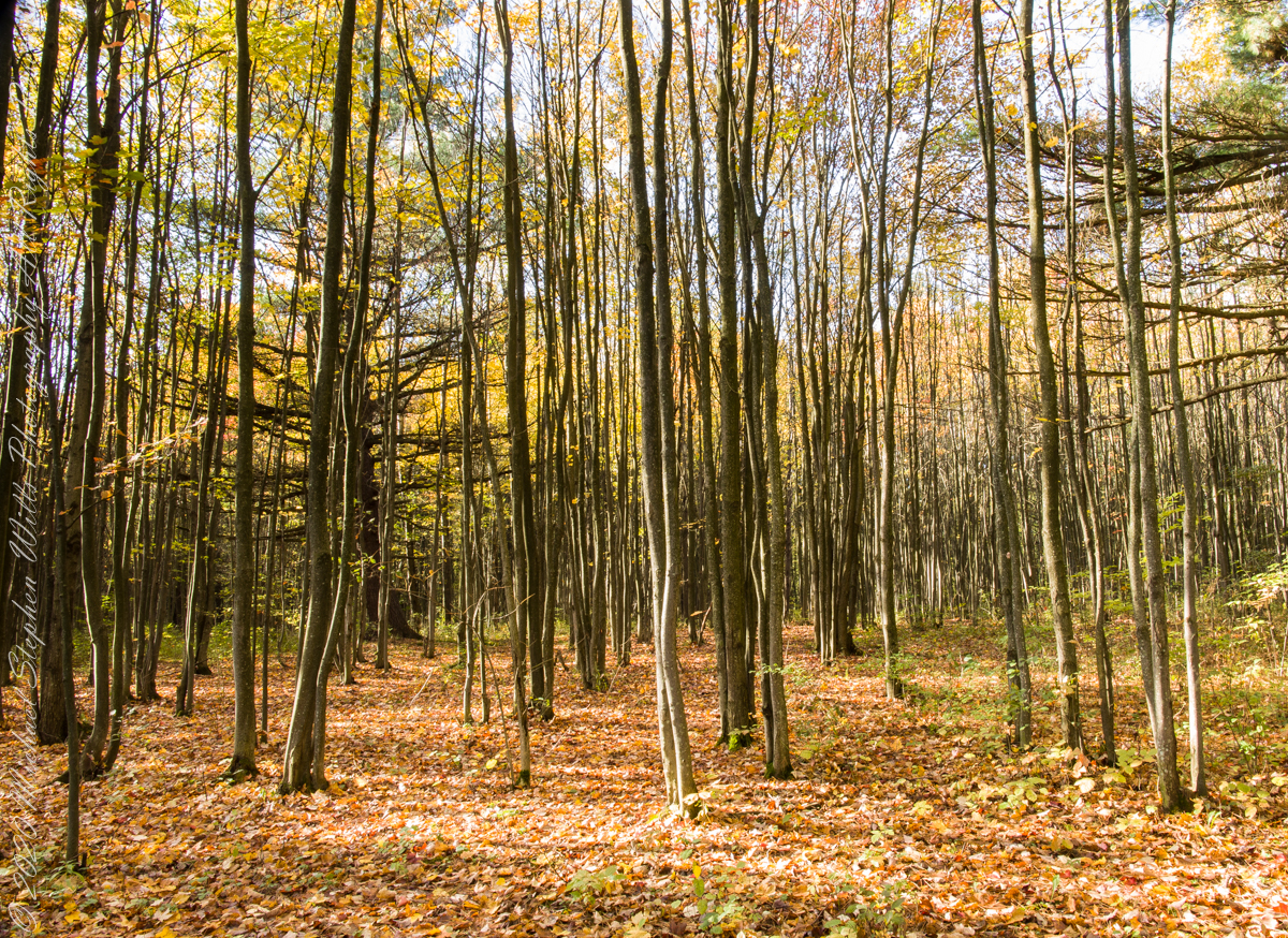
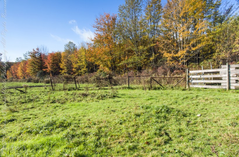
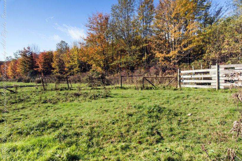
Finger Lakes National Forest is a patchwork of ancient forest, gorges and marginal farmland abondoned for decades such as this emerging forest next to an actively farmed pasture.
In the long history of this forested ridge two Iroquois tribes visited this unproductive land for tree nuts and hunting, unproductive in that the soil did not support agriculture. After the Revolutionary War, the British siding Iroquois tribes were driven away and the land given as one mile square blocks to soldiers, in payment for service. Those who settled this ridge cleared the land and farmed as best they could. During the Depression era, many of these farms were abandoned and others sold to the Federal government.
In the long history of this forested ridge two Iroquois tribes relied on this land for tree nuts and hunting, the soil did not support agriculture. After the Revolutionary War, the British siding Iroquois tribes were driven away and the land given as one mile square blocks to soldiers, in payment for service. During the Depression era, many of these farms were abandoned and others sold to the Federal government.
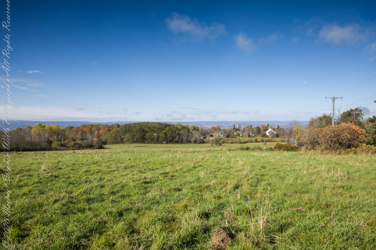
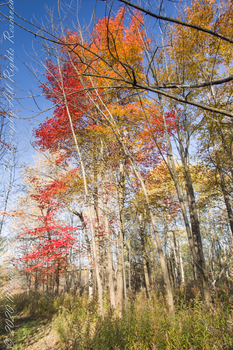
Today, there is a patchwork of private land and National Forest. This line of color marks the forest boundary on the eastern ridge side.
Click photograph for a larger view. To do this from WordPress Reader, you need to first click the title of this post to open a new page.
I positioned the tripod against the barbed wire fence marking the posted property. A few barbs and sear goldenrod flowers just visible in the lower right corner.
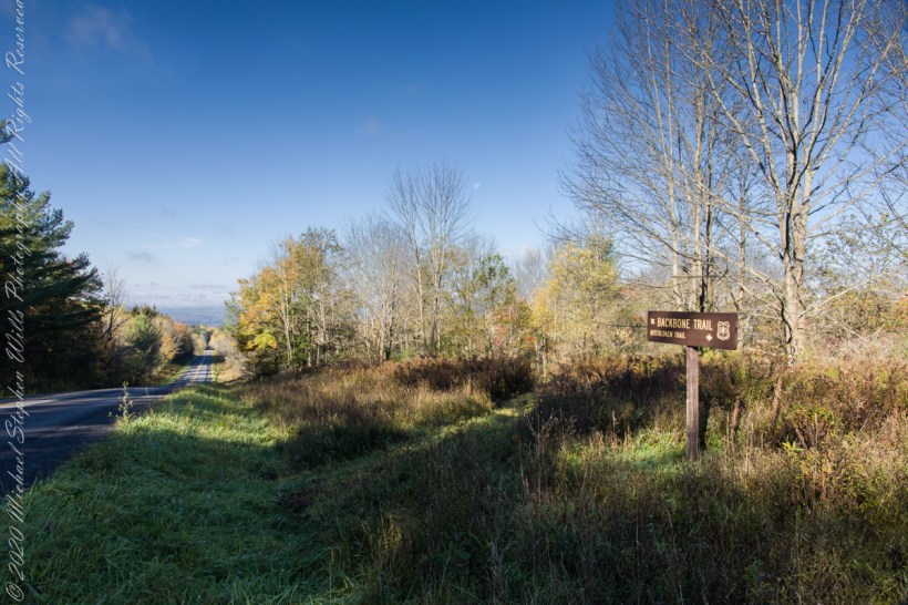
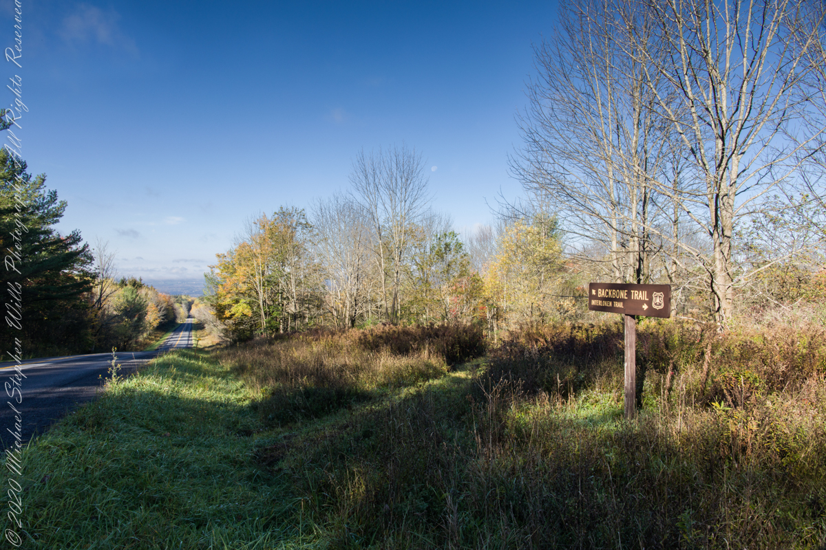
An open road, autumn morning, a hiking trail under a setting moon. Thirty miles of hiking trails thread these 16,212 acres. Some, like the Backbone trail, traverse farmland reverted to forest and meadow, popular for horseback riding.
Click photograph for a larger view. To do this from WordPress Reader, you need to first click the title of this post to open a new page.
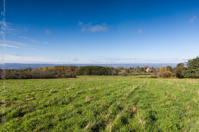
The only National Forest in New York State, this land is visible as a ridge to the west of our home. Here we are on the west side, the ridge of Seneca Lake in the distance.
Click photograph for a larger view. To do this from WordPress Reader, you need to first click the title of this post to open a new page.
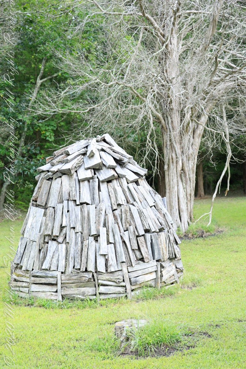
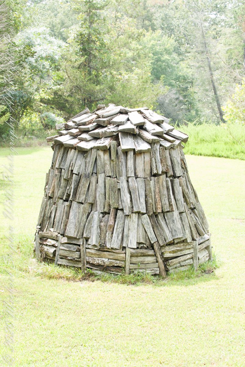
Here my exploration of Wharton State Forest, Pitch Pine Forest III, branches to the genealogical exploration of this landscape as my sister, Theresa and I, proceed along the humped, pitted sand road Goodwater through the wilderness to emerge in Batsto Village, a recreation of lives that touched my great great grandparents, James and Ann McCambridge among them. Ann saved money earned as a cook for Atsion furnace, the historical site at the start of the road to Quaker Bridge. Her husband James worked as a collier, supplying fuel for the iron furnaces at Atsion and Batsto, among other enterprises. During our Batsto Village visit we found these reproductions of charcoal clamps.
A charcoal clamp (a word derived from Dutch for “heap’) is build around a chimney formed from the wood and covered with materials such as earth to control air flow.One the burn was started, the process was watched closely. The person in charge was called a collier.
Since earliest times charcoal was used for cooking and heating. It was the best heat source for metal furnaces. Entire deforested regions are attributed to the demand for charcoal. Thomas Jefferson experimented with charcoal clamp designs, modifying air flow from the base.
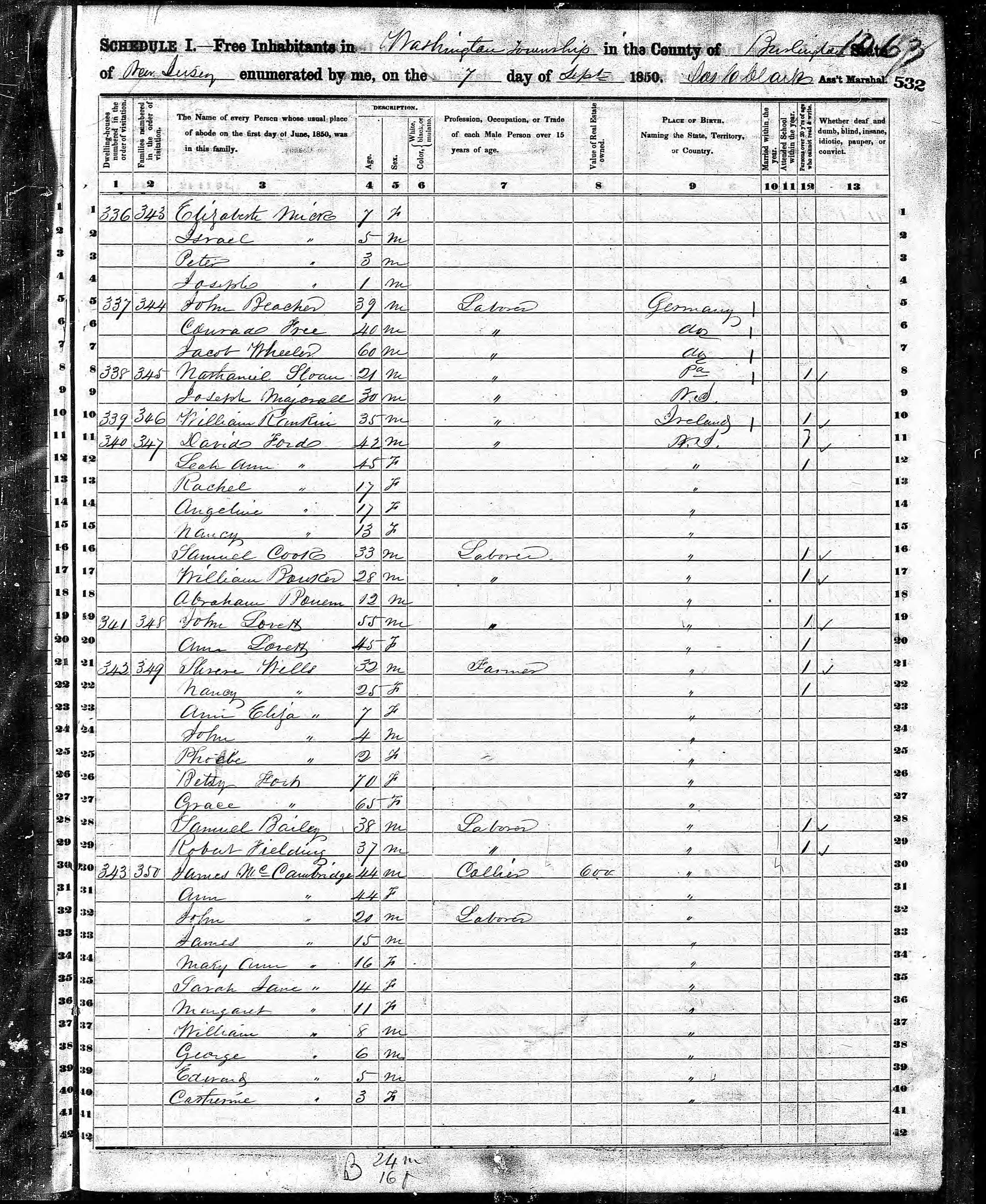
James and Ann lived on the land that provided a livelihood, enough to support themselves and nine (9) children. From September 7, 1850 is the US Census for this family of my second great grandparents. Great Grandmother Margaret was 11 years. James is listed as a Collier, the value of Real Estate owned was 6,000 (a fortune for the time).