Valparaiso Departure I

Thoughts on Departures

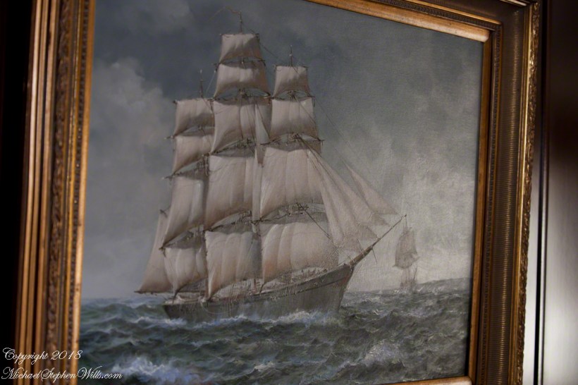
Late afternoon of our departure from the Chilean port city Valparaiso,  Pam and I enjoyed entertainments on the Regatta.  This painting of a ship under sail brings to mind the history of Valparaiso, as a place only reachable by ship, clinging to a narrow ledge on the Andes, barely existing for centuries, repeatedly destroyed by earthquakes until the 19th century brought sailing vessels such as this, growth and prosperity.  Major earthquakes hit the years 1730, 1822, 1839, 1873, 1906, 1907.  After 1907, the city was rebuilt anew in the modern form.  The inhabitants must enjoy spot, naming it “Vale of Paradise.”

Click this link for my Fine Art Photography gallery.

ValparaisoDeparture-1

While, in the 21st century the city enjoys a refreshment of an influx of artists and visitors such as the Regatta, the danger of the next massive quake is ever present and unpredictable.

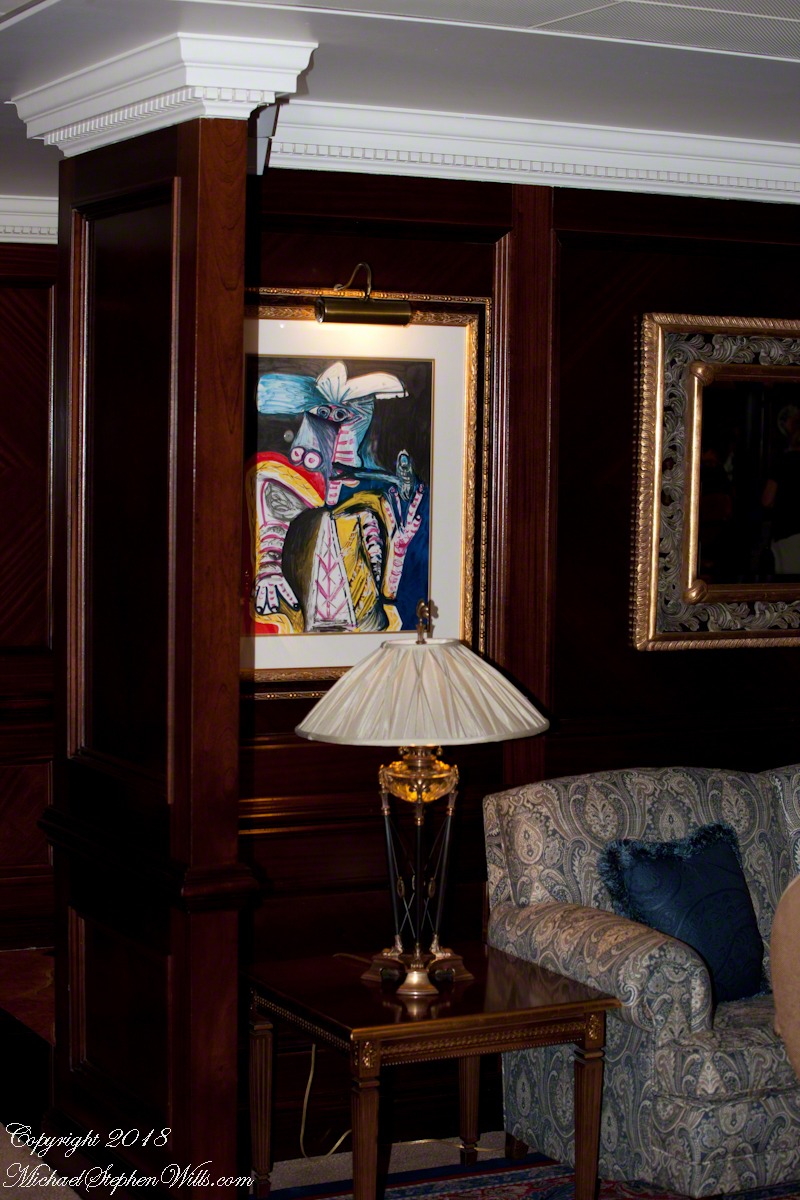
As we enjoyed the artwork….

ValparaisoDeparture-13

….a pianist entertained us.

ValparaisoDeparture-14

As usual, I was carting photography equipment to capture the moments as the afternoon moved towards…

ValparaisoDeparture-15

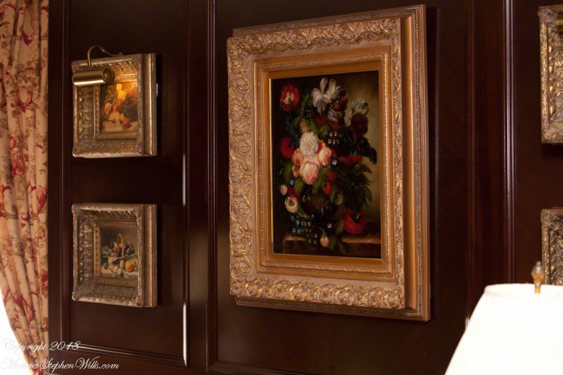
….the scheduled departure among still life painting in the style of the Dutch masters.

Click this link for my Fine Art Photography gallery.

ValparaisoDeparture-16

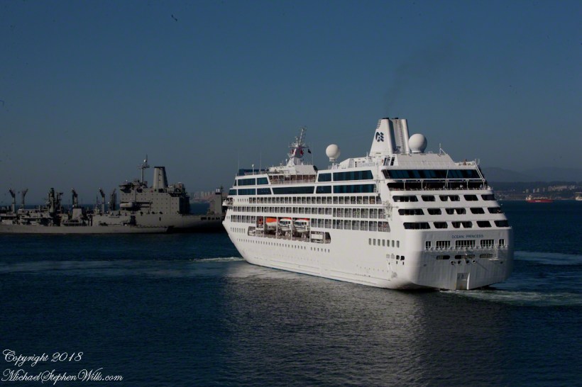
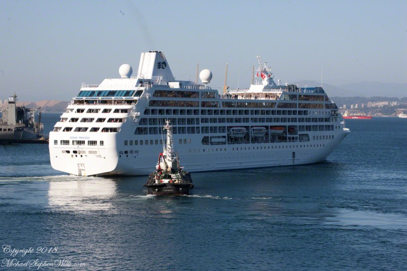
That day I chose the upper decks as the best vantage point.  From there, Pam and I viewed the departure of a similar ship to the Regatta, the “Ocean Princess.”  It must have been the last voyage of the Princess under that name as, the same year, it was acquired by the Oceania line, refurbished, relaunched as the “Sirena”.

The Chilean navy base and Naval Academy is there.  The Ocean Princess navigated around this docked destroyer…..

ValparaisoDeparture-2

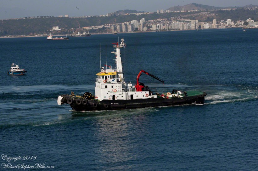
…with the assistance of the tugboat Alcatraz, a name derived from the Spanish word for pelican as in “La Isla de los Alcatraces” (Island of the Pelicans) where the former Alcatraz prison was built in San Francisco Harbor.  Spanish speakers think of birds when viewing the tub boat.  Americans think of prisoners (escaping) and San Francisco.  Unlike San Francisco Harbor, Valparaiso Bay is a semi-circle open to the ocean, the harbor is on the southern, north facing (away from the ocean) shore, protected by a long (3,000 foot) breakwater along which the Chilean war ships dock.  We are viewing the Alcatraz after most of the work for the Ocean Princess departure was done.

ValparaisoDeparture-3

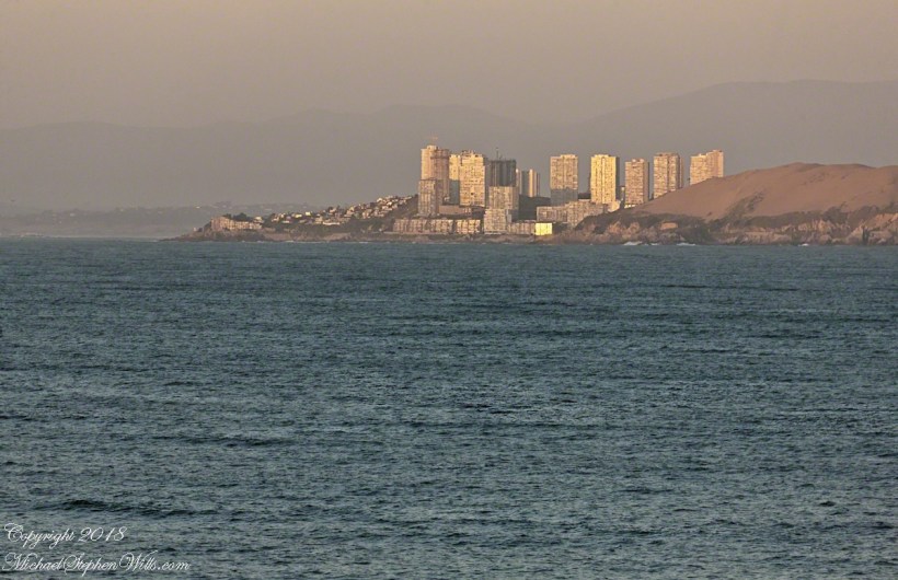
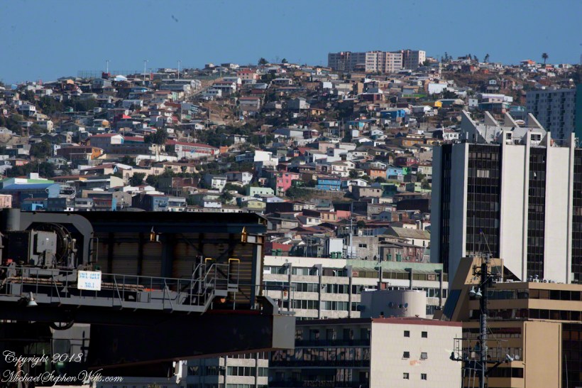
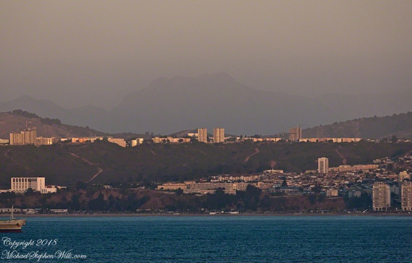
The north end of the bay is residential, behind the towers are homes arrayed on the hillside, the only land available.

Click this link for my Fine Art Photography gallery.
ValparaisoDeparture-4a

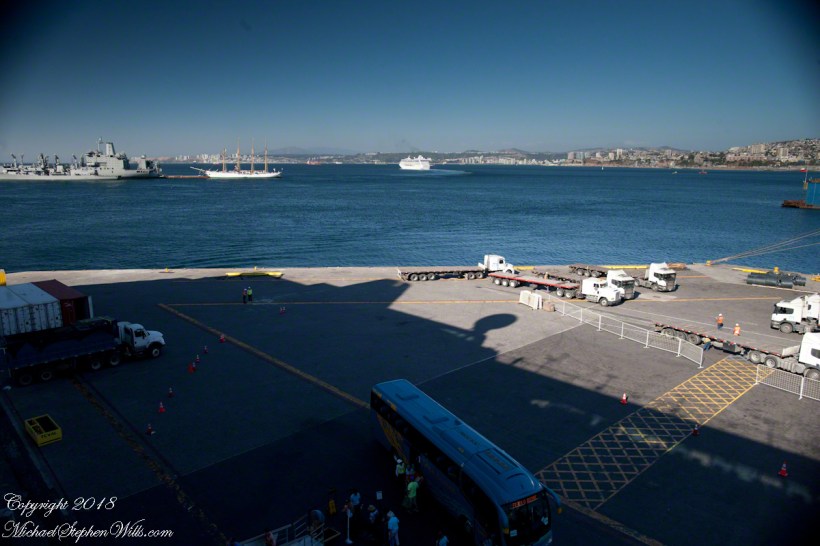
Much of the harbor and city business district, in the foreground (below), on the south side is on land reclaimed from the sea.

ValparaisoDeparture-5

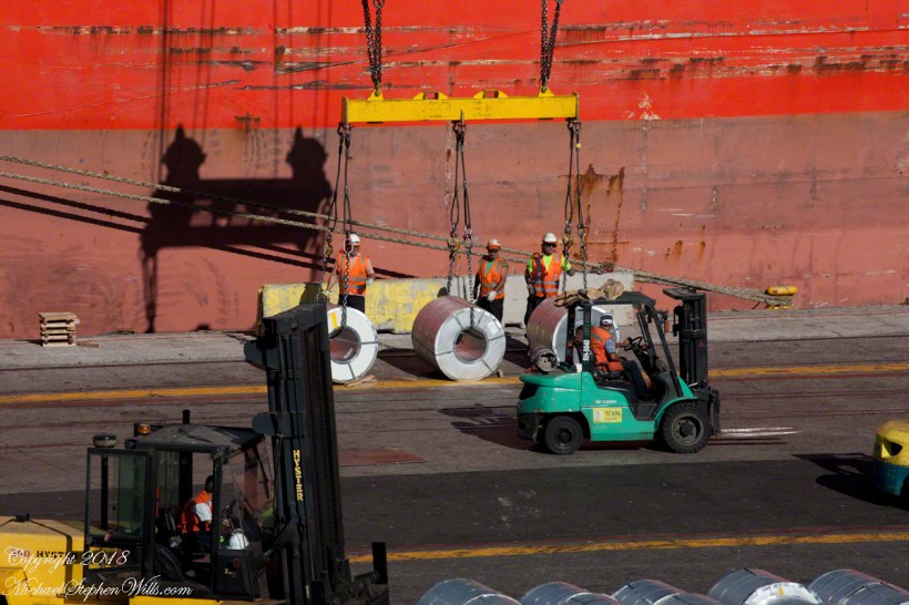
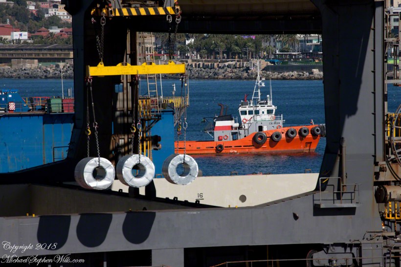
All around the Regatta was a working port.  Here rolls of cable (wire?) are prepared for hoisting onto a cargo ship.  Note the hawsers, taught under the strain, between the workmen and the ship hull.

ValparaisoDeparture-6

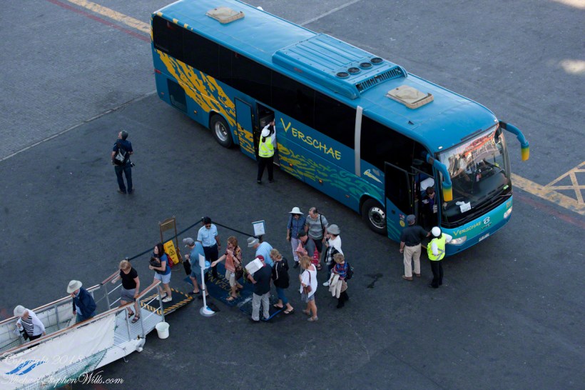
Passengers board the Regatta from the last tours.  I expect this is the trip to Santiago.  Most of the dockings the Regatta was surrounded by the port, the only way to access the city was on a tour bus as the port activity made walking too dangerous.

Click this link for my Fine Art Photography gallery.
ValparaisoDeparture-7

I can only guess the role the Alcatraz is playing here…..

ValparaisoDeparture-8

…. probably it is positioned to give the Ocean Princess a nudge if the harbor pilot misjudges the turn around the breakwater and warships.  In a harbor, a ship’s crew passes control to a harbor pilot who knows the navigation challenges much better than is possible for them.

ValparaisoDeparture-9

Today, as 99.9% of all days, the pilot makes the turn safely.  Here is a better view of the warship.

ValparaisoDeparture-10

Looking back toward the harbor, the crane is hoisting those rolls, the tug boat “Lauca” framed by the superstructure of (I think) the crane.

ValparaisoDeparture-11

The Ocean Princess is will under way, as shown by the long wake.  As luck will have it, When the Regatta follows the sun will be much lower, the light better for photography.  At the stern of the warship, the masted vessel is a training ship for the Chilean Naval Academy.

Click this link for my Fine Art Photography gallery.
ValparaisoDeparture-12

Copyright 2022 Michael Stephen Wills All Rights Reserved 

Where Are The Alerces?

Chipped into Shingles?

A user commented on a Chile Lake District post of mine asking for more photos of Germany. This is striking, because German traveler who visited have made note of parallels between this area and Europe. In this series I will share photography taken from the tour bus window as we traveled to the Lake District and returned to Puerto Montt. I used a handheld Canon EOS 1Ds Mark III SLR with the Canon lens EF 70-300 f 4-5.6LIS. This is the second post of this series.

Click any photograph for a larger view.

Chipped into Shingles?

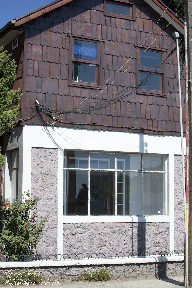
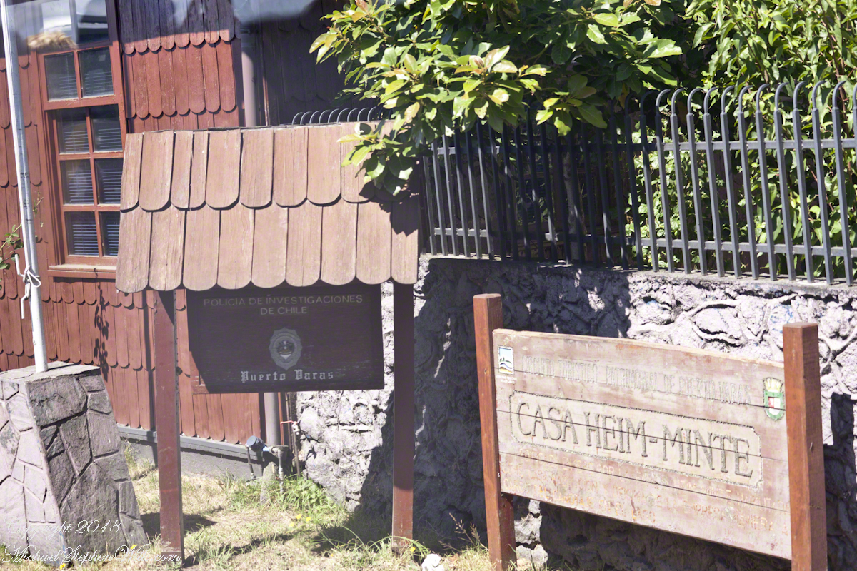
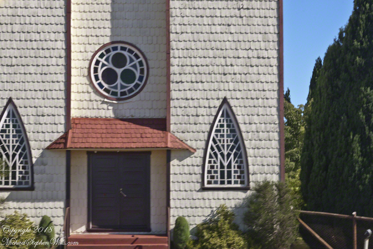
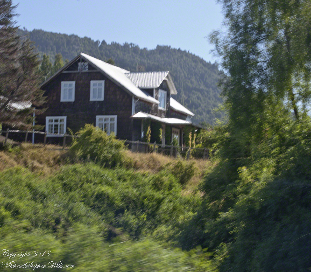
Wood is a building material the German pioneers had in abundance. They went to work clearing the forests, tilling the land and building structures such as this, a house in the town of Puento Varas on Lake Llanquihue. In face, those windows face the lake. I have our guide to thank for these photographs of the houses, early on as we drove through Puerto Montt she shared the significance of the shingles with us.

The shape is identical to that used in Germany and Switzerland wooden frame homes. It was the wood of a tree native to Chile and western Argentina that made these possible and in the course of surviving in a new land, a good portion of their natural patrimony was spent. Since the late 1960’s Chile has backed away from this and conservation of the slow growing Alerce is now paramount.

We can intuit how difficult the winters are from the view into this house provided by the window. There is a room outside the living area, sealed by a second door to prevent the escape of warmth. The use of metal embedded into the low concrete wall is common in the South American countries we visited.

Close by, also facing the lake in Puerto Varas, is this police station, the “Civil Police,” whatever than means. It is a small, apparently historic, building. Rising around it are modern hotels.

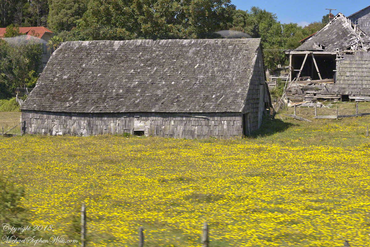
This large rural shed, on the outskirts of the town, appears to be a structure from the original 19th century settlers, a testimony to the durability of Alerce shingles covering the siding and the large, steeply sloped roof.

Open Country

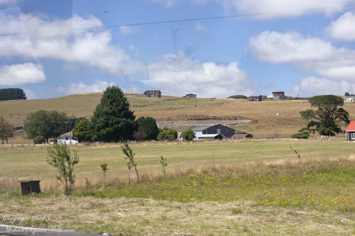
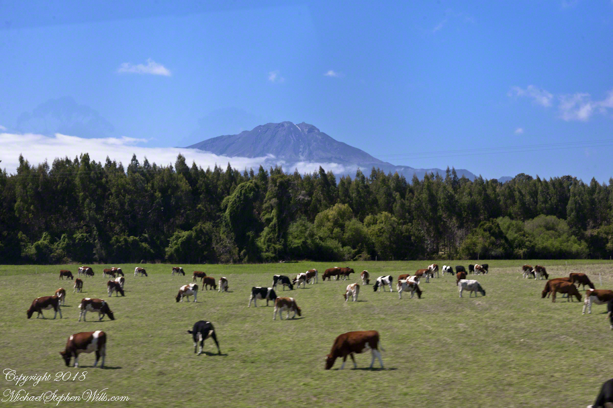
Suddenly we were graced with these cleared farm fields, here and there large modern homes high on the hill for a sweeping view of the lake.

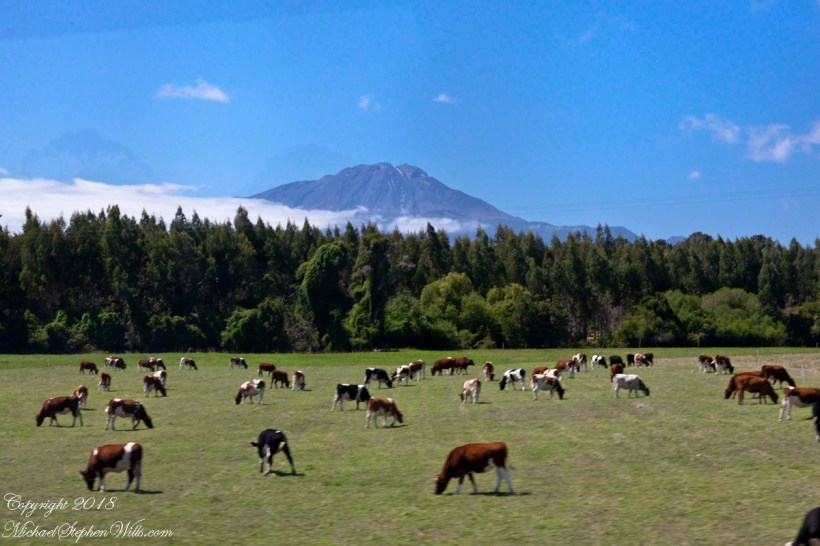
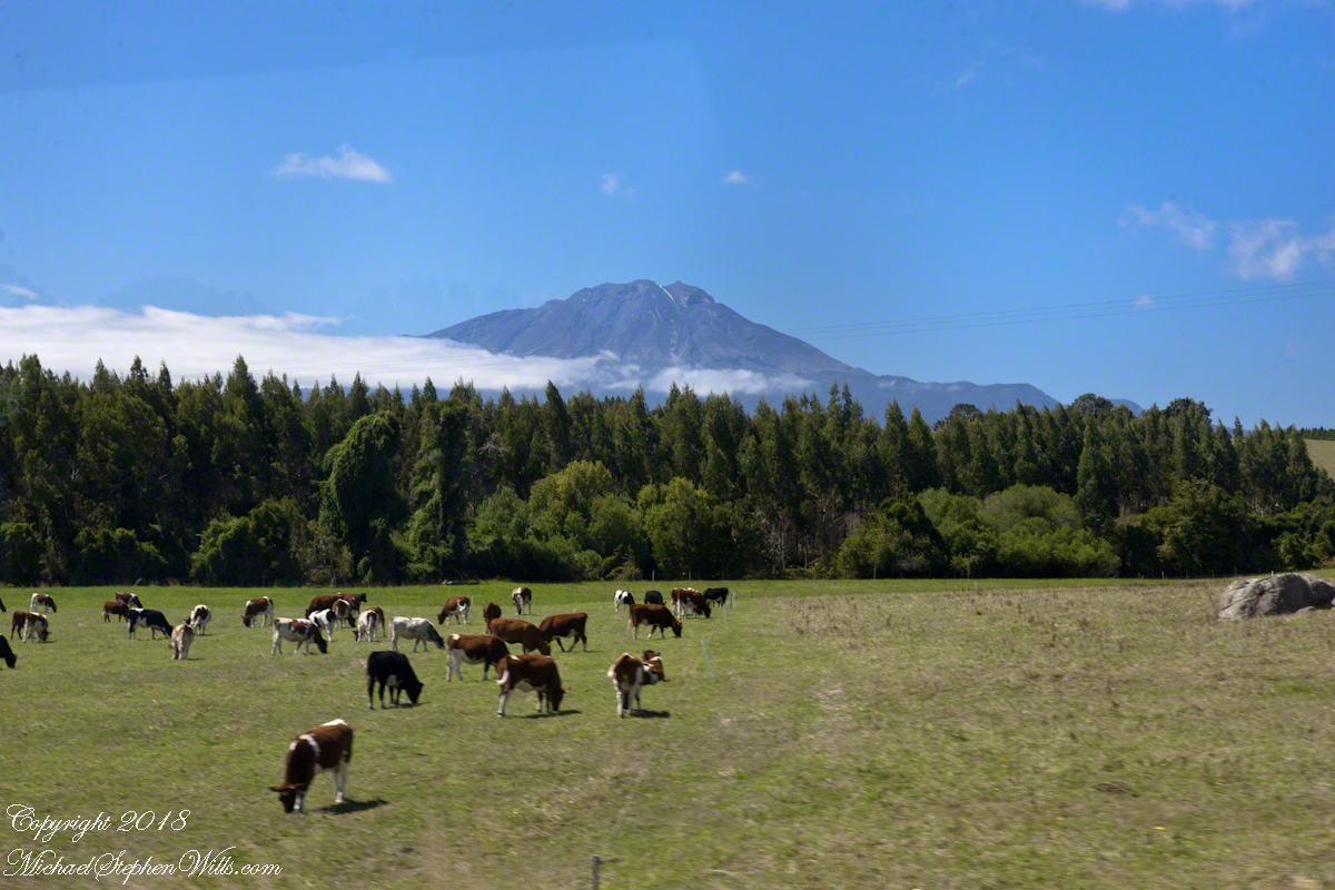
In the distance is Calbuco, the volcano whose eruption broke the peace ten months before our trip. The wind spared these lands the destructive effect of falling ash.

“We’re not in Kansas Anymore, Toto”

Fertile land

A user commented on a Chile Lake District post of mine asking for more photos of Germany. This is striking, because German traveler who visited have made note of parallels between this area and Europe. In this series I will share photography taken from the tour bus window as we traveled to the Lake District and returned to Puerto Montt. I used a handheld Canon EOS 1Ds Mark III SLR with the Canon lens EF 70-300 f 4-5.6LIS. This is the third post of this series.

Click photograph for a larger view.
Orsorno Volcano, Lakes
District, Chile

So much depends……

an accumulation of things

A user commented on a Chile Lake District post of mine asking for more photos of Germany. This is striking, because German traveler who visited have made note of parallels between this area and Europe. In this series I will share photography taken from the tour bus window as we traveled to the Lake District and returned to Puerto Montt. I used a handheld Canon EOS 1Ds Mark III SLR with the Canon lens EF 70-300 f 4-5.6LIS. This is the fourth post of this series. Click me for “Swiss Chalet,” the first post in this series.

Click any photograph for a larger view.

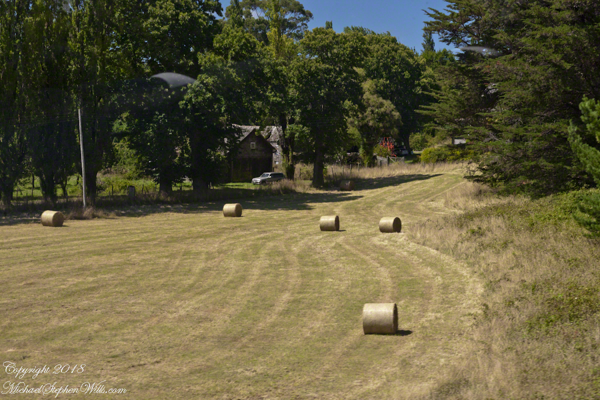
……on cut grass rolled into hay below the volcano

Here is a comforting sight for a dairy farmer: well cured fodder ready for the winter. Apologies to William Carlos Williams. “So much/ depends/upon a red wheel /barrow/glazed with rain/water/besides the white /chickens.” (XXII, “Spring and All”, 1923).

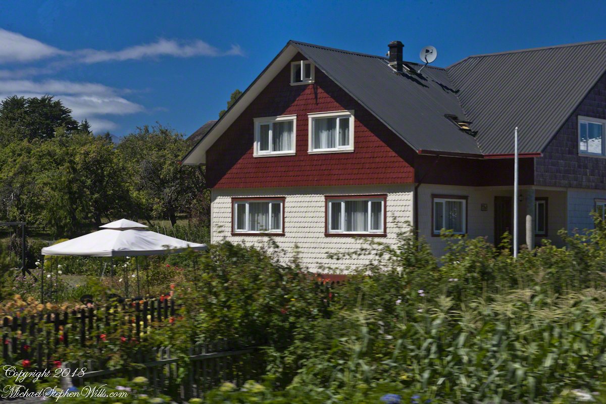
A home surrounded by carefully tended gardens. Flowers and sweet corn, yum! Compare the style of the house this that of my first post. The lighting was better and this photograph captures the detail of the Alerce shingles.

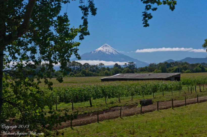
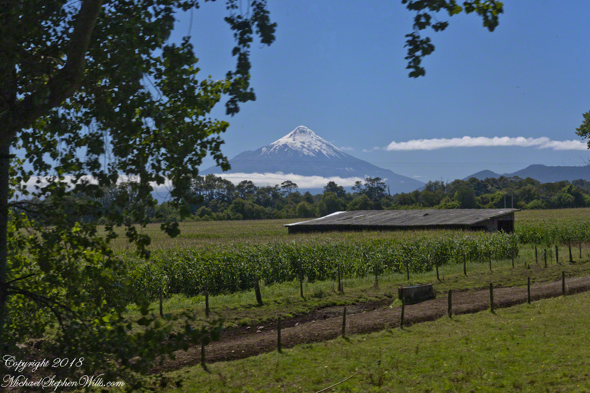
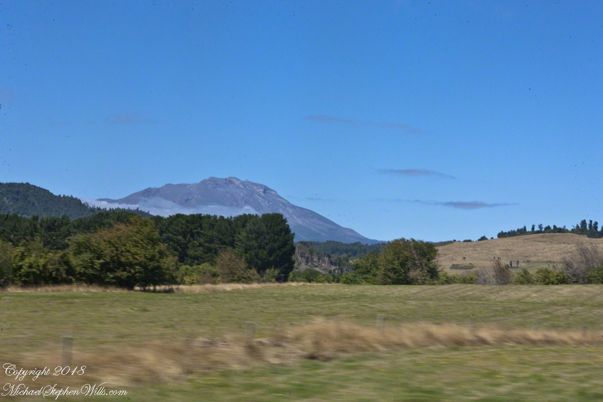
On one side was Calbuco Volcano, seen across hay fields and hills……

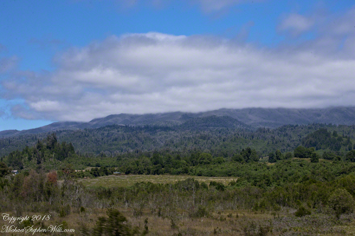
……on the other is the lower slopes of Osorno, the cone hidden by clouds.

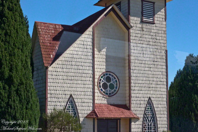
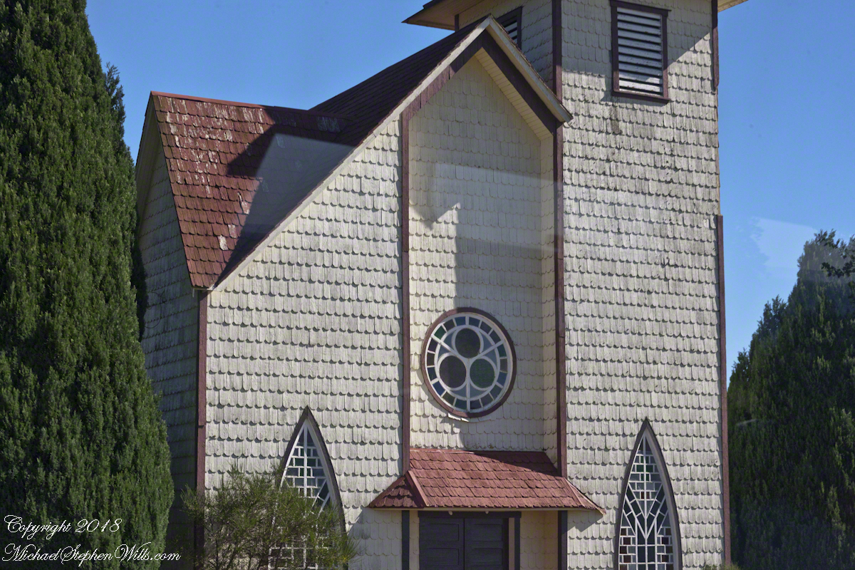
On the east side of where the waters of Rio Pescado flow into Lake Llanquihue the Holy Cross Chapel serves silent testimony to the influence of German immigrants who, fleeing war and chaos, settled these lands.

Swiss Chalet?

cone under the moon

A user commented on a Chile Lake District post of mine asking for more photos of Germany. This is striking, because German traveler who visited have made note of parallels between this area and Europe. In this series I will share photography taken from the tour bus window as we traveled to the Lake District and returned to Puerto Montt. I used a handheld Canon EOS 1Ds Mark III SLR with the Canon lens EF 70-300 f 4-5.6LIS. This is the first post of this series. Click me for “Orsorno Volcano and Tourists,” the first post in that series.

Click any photograph for a larger view.

House on a Hill

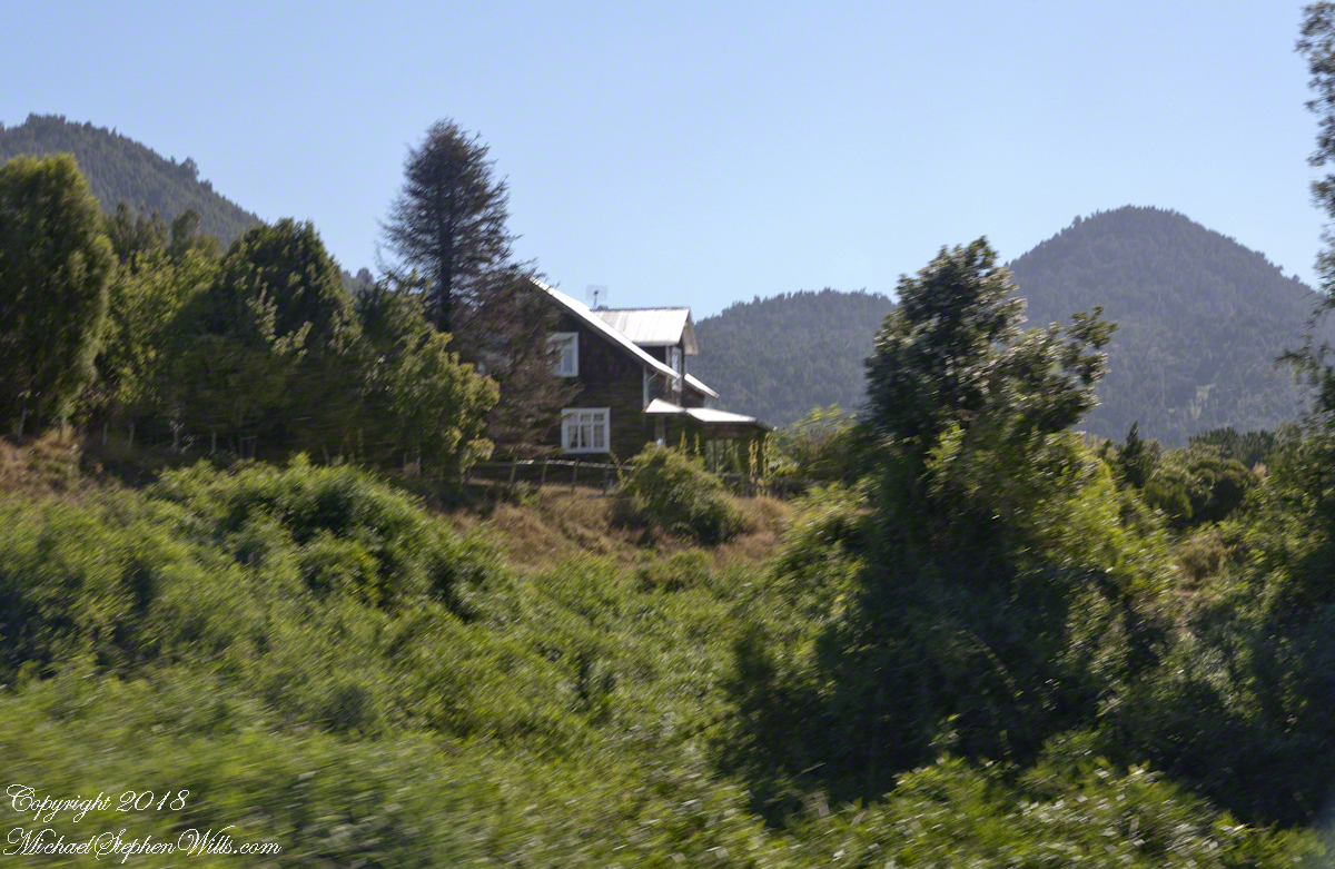
Wood is a building material the German pioneers had in abundance. They went to work clearing the forests, tilling the land and building structures such as this, the steeply sloping roof to shed snow, gabled dormers for more living space on the top floor.

This has a tin roof, but many roofs are shingles made from magnificent Alerce trees. The government banned the export of Alerce wood in 1976. It is a slow growing tree, the fine grained wood is in demand. I believe the tall tree towering over the roof is a Monkey Puzzle, scientific name Araucaria araucana, an ancient evergreen, the national tree of Chile and one of the unique differences the early Germans came to recognize and love as their own South American identify.

I will have some great examples of shingled homes in a later post. The roof of this restaurant is Alerce shingles.

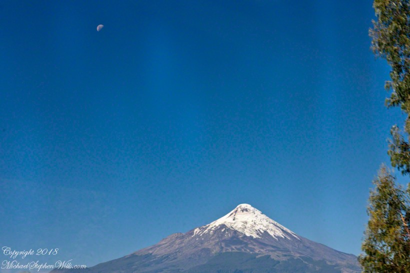
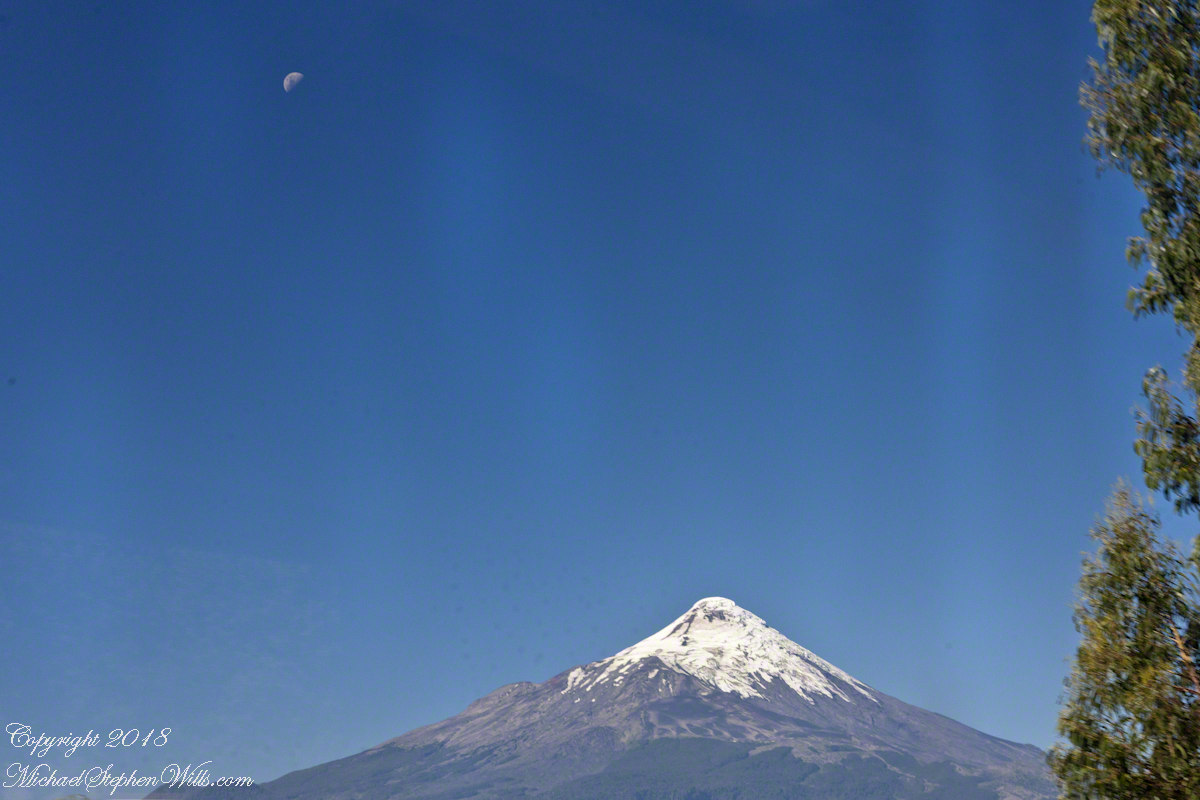
The Orsorno Volcano, somehow reminiscent of the Alps and very different. Here a half moon, high above and shining brightly on a summer evening, February 2016. These are some of the touches European travelers name “Chilean Swiss.”

Selfie Sticks and Petrohué Waterfalls

the selfie and me, me, me

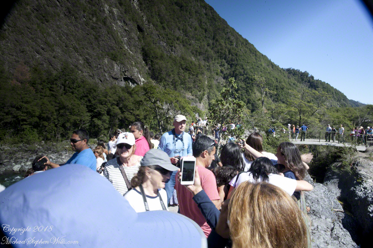
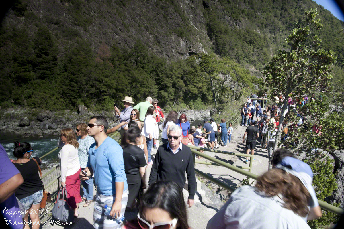
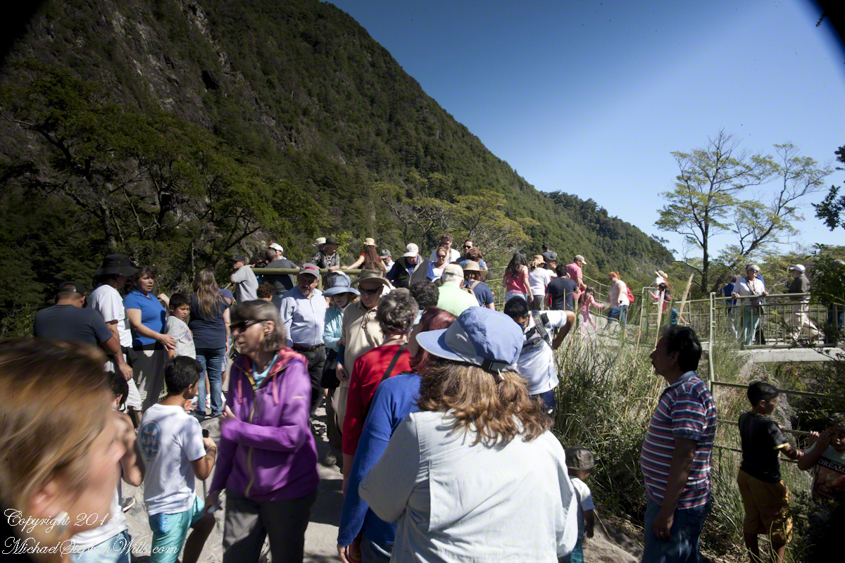
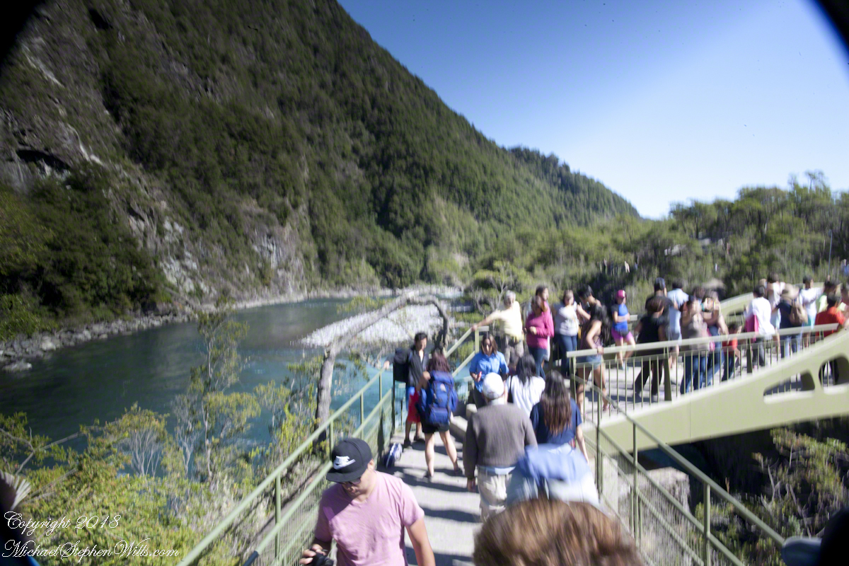
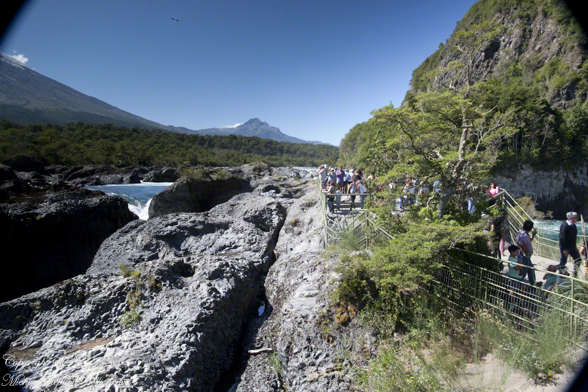
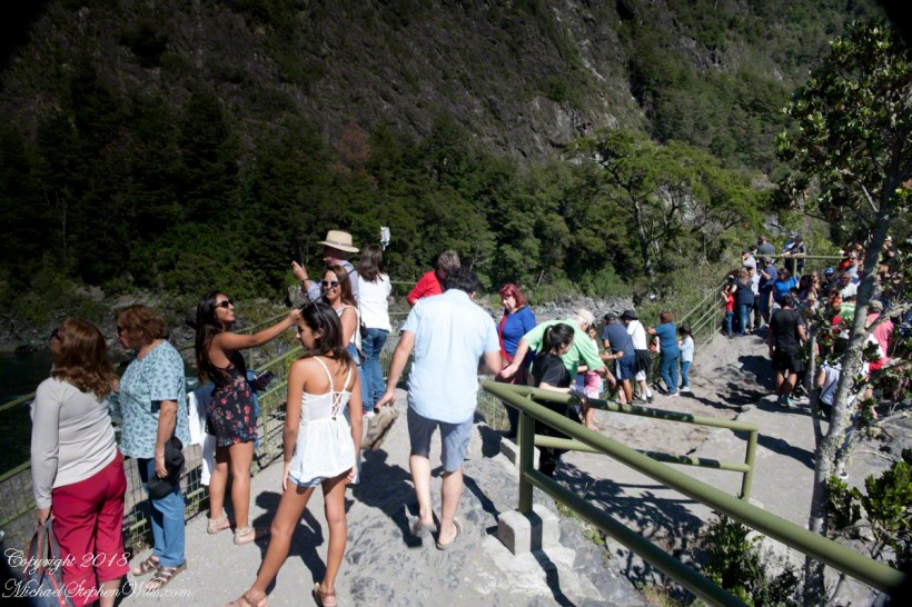
Petrohué Waterfalls are on the tourist track, traffic on the walkway was heavy on the southern hemisphere summer day, February 2016, of our visit. People were relaxed and friendly, the walkway well designed and safe. The wide angle lens was mounted on my Canon dslr, with a circular graduated neutral density filter. This is a filter with the upper third restrictive to light fading gradually to clear and mounted on a ring to rotated to cover the bright portion of the view. I used this successfully in the previous postings to obtain an exposure of the bright sky and darker land (for example, “Orsorno Volcano and Tourists.”). I could not resist capturing our fellow tourists. With a wide angle lens it is easy to do candid shots, such as the following. Most people are unaware of the capability of the 24 mm wide angle lens.

Click any photograph for a larger view.

Unfortunately, in the rush of the crowd and moment the dual use of a configuration for landscape and (candid) street photography lead to mistakes. I did not have the lens hood attached correctly, you can see the hood in each corner. Then there is the circular, graduated filter. In the above photograph, the shaded portion runs across the lower left to the upper right. The subject is watching me photograph the water.

Here, I turned around from photographing the Orsorno Volcano to capture these selfie fans leaning against the railing to capture themselves and the volcano through they are in the minority. The trail is a “dead end”, rising to the point above the falls, where I am standing.

Selfie Stick

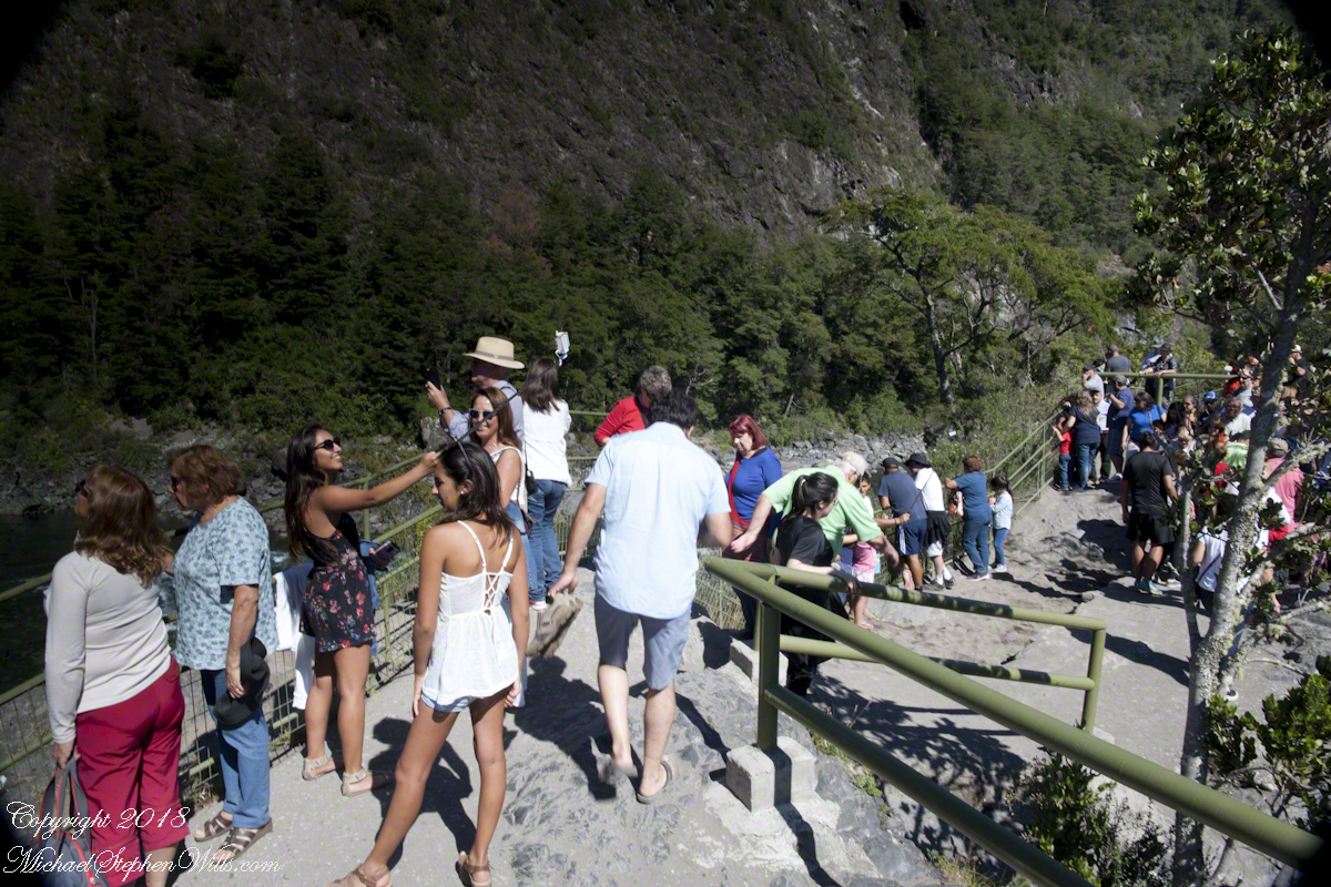
We started back down towards the point over the incredible emerald green water. There were three teenagers having fun with a selfie stick. Around them are people entranced by the water, as we werel.

Smile!! You’re on Candid Camera

Headed back, I thought that curving tree was a good subject. Turned out, a fellow tourist heightened the interest of the shot. You see him, leaning against the railing next to the tree in the mid-distance of the following shot.

Here I am, looking back toward the child of Orsorno and the entire length of the observation walkway filled with people.

Moll’s Gap on Getty

Happy New Year….starting it off right

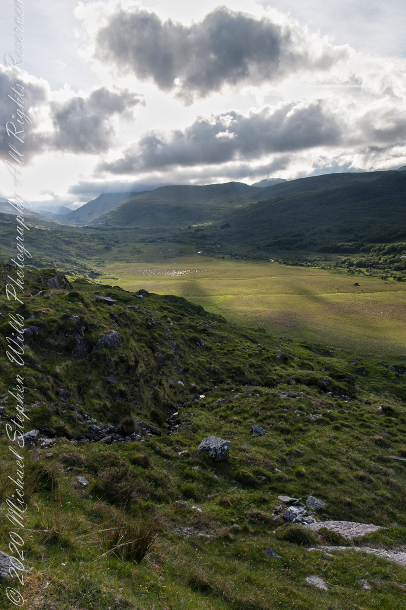
We are near Molls Gap on the Ring of Kerry. At our feet is Eric townland, there’s an eponymous Bog Nature Reserve down there. At our feet is Eric townland, there’s an eponymous Bog Nature Reserve down there.
Click me for the two (2) Molls Gap photographs accepted and published by Getty.
Click pic for larger view in a new browser tab. If you are in WordPress Reader, open the post to use this feature.
Copyright 2021 Michael Stephen Wills All Rights Reserved

Seven Ladies View Accepted by Getty

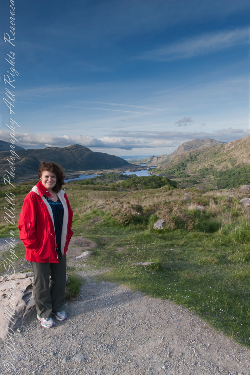
My wife, Pam, at Ladies View, on the Ring of Kerry

Here we are, on the road from Kenmare to Killarney, N71, part of the Ring of Kerry around the Iveragh Peninsula. The view was celebrated by Queen Victoria’s Ladies-in-Waiting during an 1861 tour of Ireland

Click me for the seven (7) Ladies View photographs accepted and published by Getty.

Click pic for larger view in a new browser tab. If you are in WordPress Reader, open the post to use this feature.

Copyright 2021 Michael Stephen Wills All Rights Reserved

Ladies View 10

last version

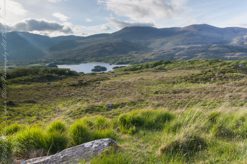
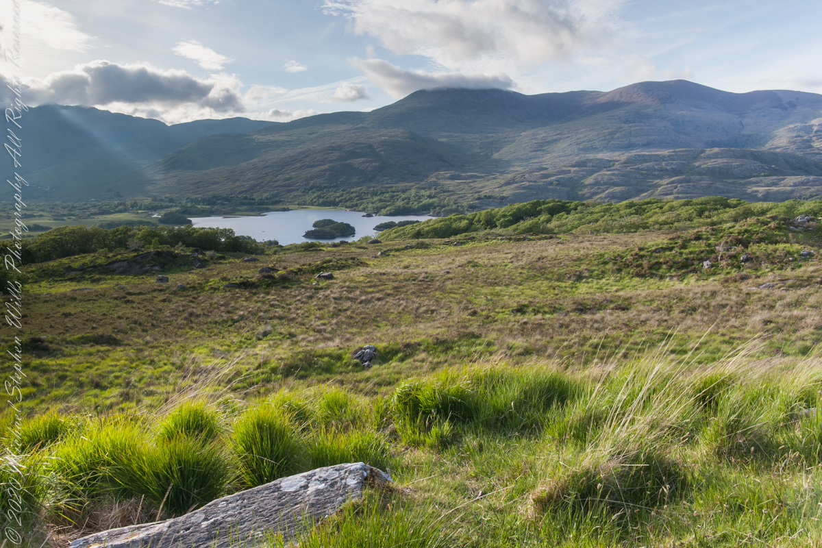
Here we are, on the road from Kenmare to Killarney, N71, part of the Ring of Kerry around the Iveragh Peninsula. The view was celebrated by Queen Victoria’s Ladies-in-Waiting during an 1861 tour of Ireland

Here the camera, link #9, is turned toward the sun, low in the evening sky, emerging from clouds with a bright sunbeam on Upper Killarney Lake. The previous view was portrait orientation. This is landscape orientation.

Click pic for larger view in a new browser tab. If you are in WordPress Reader, open the post to use this feature.

Copyright 2021 Michael Stephen Wills All Rights Reserved

First Water Trailhead

A desert garden with plans

First Water Trail Head

Notable Sonoran Desert Plants, all in the same frame. From the left, back row: staghorn cholla, ocotillo, saguaro. Front row: teddy bear cholla, yucca. I am not certain the greenery to the left of the yucca is brittle bush.

First Water trail head is the most used access point to the Superstition Wilderness, being the closest to Phoenix and its satellite cities and suburbs. For day hikers there are ample and interesting route choices as all foot trails of the west side terminate at First Water making for a variety of loops and incredible views. For horse people there are facilities to park huge trailers.

The ready access from Mesa, where my sister and husband had their home, was the primary reason I planned to finish my cross wilderness hike on the Dutchman Trail. Named for Jacob Waltz of the fabulous legend of the Lost Dutchman mine, the inspiration for The Searcher’s Superstition Wilderness expeditions and, ultimately, why he and I met and my change of plans.

On our ride over from Roosevelt he told of his difficulties building a home in Apache Junction, sleepless nights spent guarding building supplies from thieves. He looked forward to moving day.

This photographic record of five days in the wilderness would be much different without that meeting yet, there I was that afternoon with plenty of time for photography during the golden hours of late afternoon as I wandered the desert gardens until my sister arrived.

Wild Barley

The long distant ridge beyond the rugged near hills is the backbone of the famed “Superstition Mountain.” On the far right are hoodoos, appearing as so many teeth on a jaw. Gorgeous saguaros in the foreground.

Weavers Needle is the distant peak, 5.5 dry miles away in this view to the west / southwest.

I’ve always been partial to how the dense spines of cactus catch the evening light. These staghorn chollas are in front of the same ridge of the Superstition Mountain. A famous formation, “The Flatiron” is visible on the far right.

The road to the trail head, Service Road 78, winds through 2.6 miles of hills. Here is another overview of Sonoran desert life.

You might remember hedgehog cactus blossoms from my posting “A Dry Piece of Paradise”. The following are from the large hedgehog cactus in the foreground of the preceding photograph.

Future Plans

During the drive back with my sister, Diane, we talked of plans for returning to the Reavis Ranch together, as a backpack expedition. In coming days I met with The Searcher to explore possibilities for a horse expedition and, three years later, these plans came together for a trip kicked off from this same First Water trail head.

Hedgehog Cactus Blooms

Here is a gallery of the same photos. It is fun to flip back and forth with me disappearing from the scene.

Click me for the first post of this series.