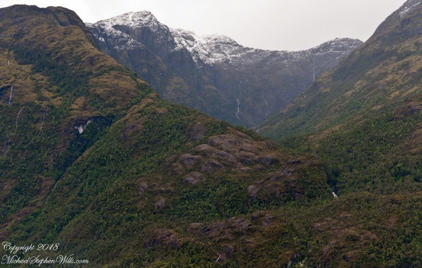
Valparaiso Connections II

the Chilean difference

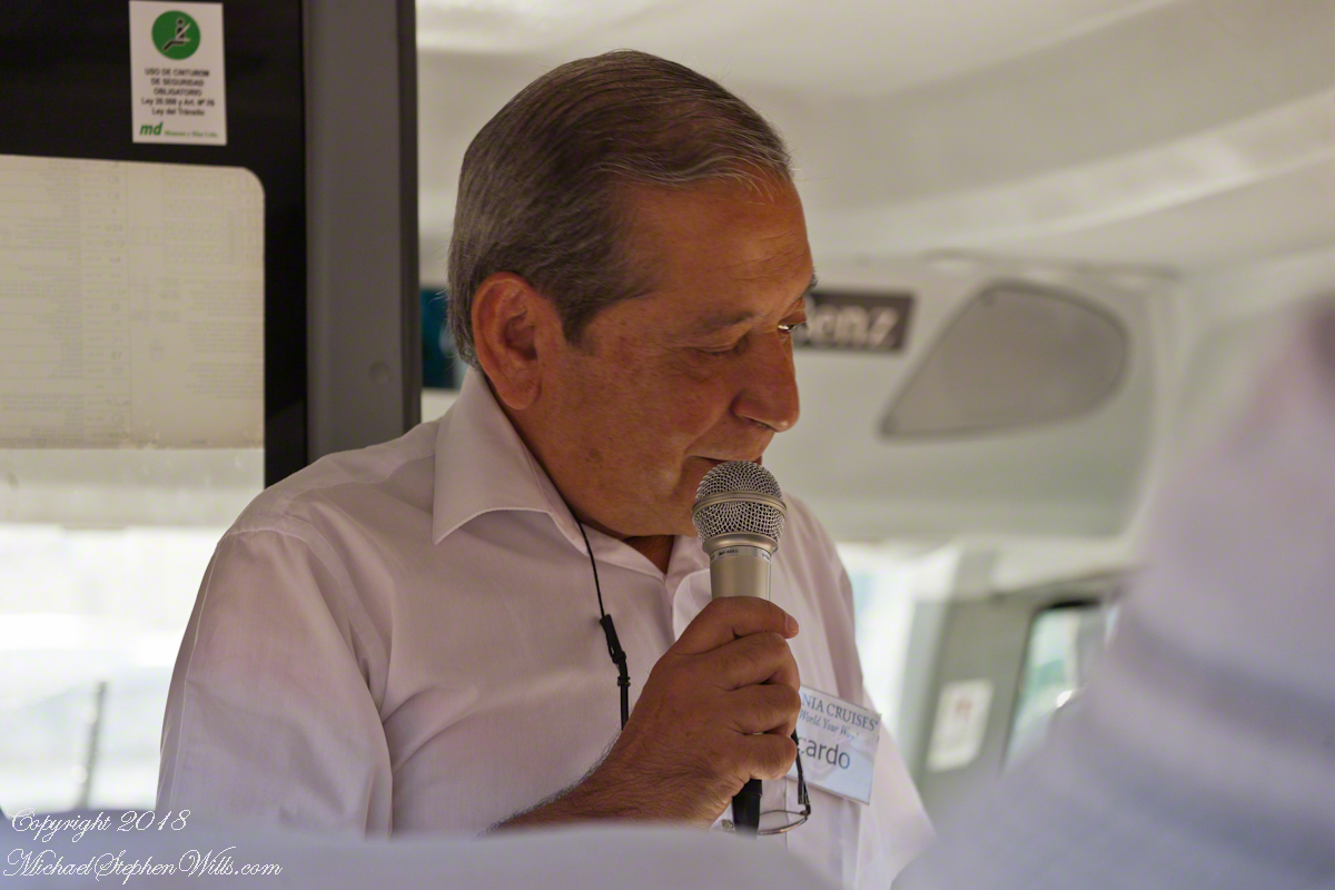
Ricaro’s name tag reads, “Oceania Cruises, your world, your way.”  I began my two previous blogs with Ricardo, “Valparaiso Separation” and “Valparaiso Connections I.” There’s a lot to be said for the Oceania tours.  Every one lead by a knowledgeable native of the host country, fluent in English, we became familiar, some more than others, with them personally, one non-representative example.  As were progressed down the coast from Iquique to Cape Horn we met a cross section of Chileans.  Unlike other countries, in Chile we met only unsmiling guards on the streets, no protest rallies.


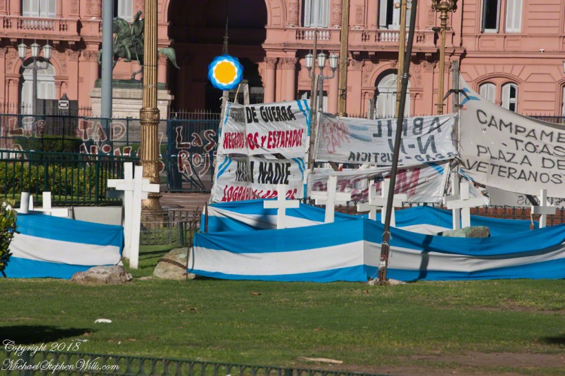
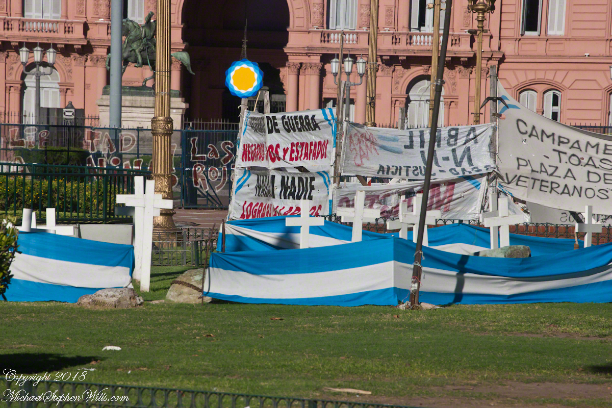
As the tour bus is about to turn down Varparaiso’s Argentina Avenue, here is a flash forward to an elaborate demonstration tableau in the Plaza de Mayo, the Casa Rosada as a backdrop, rose as in the color of bull’s blood used as pigment.  The protest was in support for veterans and causalities of the ill considered 1982 Falklands War.  We zoomed by the Parque De La Memoria, dedicated to the 30,000 people “disappeared” by the same military dictatorship of the Falklands War debacle.

http://bit.ly/MichaelsGalleries

Our entry to both Valparaiso and Buenos Aires was a cruise over the secret graves of thousands dropped, alive, into the ocean from military aircraft.

What is most chilling is the silence about this throughout our travels in Chile.  No memorials, no protests, silence, only stone faced military guards.

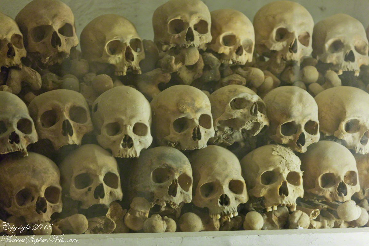
The following is from Basílica y Convento de San Francisco de Lima, beneath which are catacombs piled with disarticulated skeletons buried and cared for in the Catholic tradition .

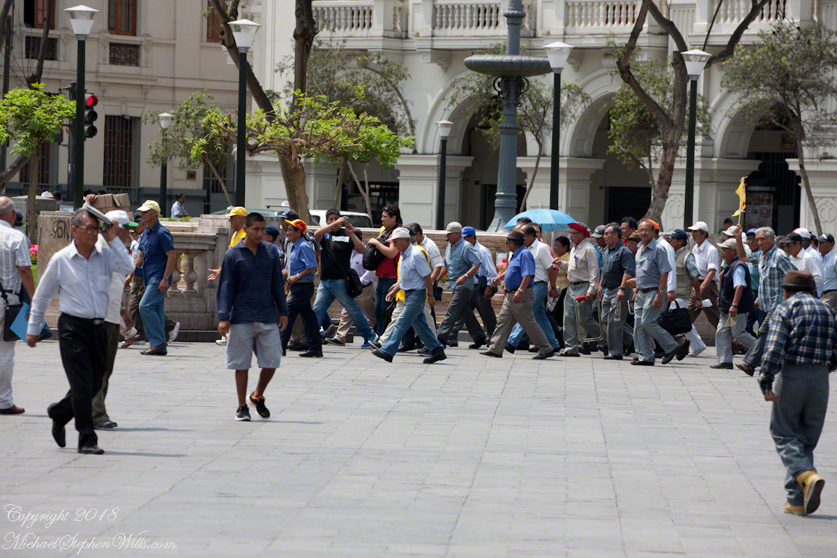
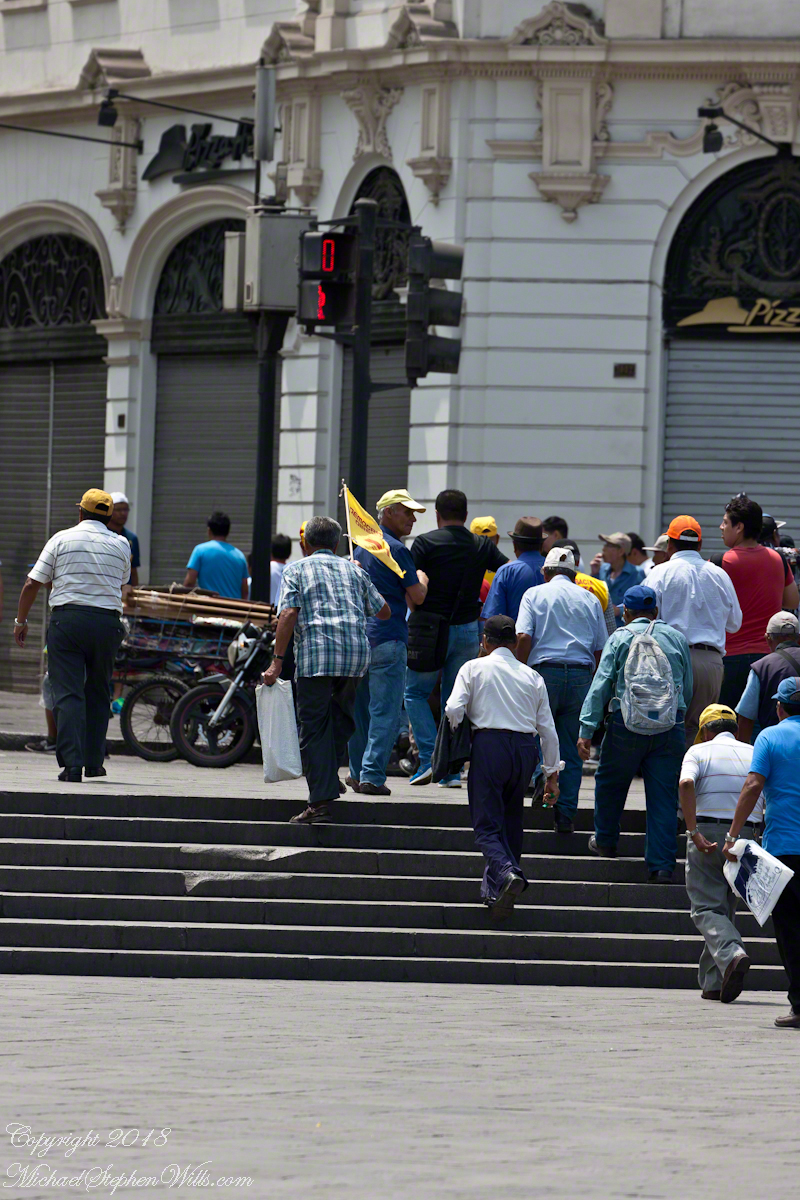
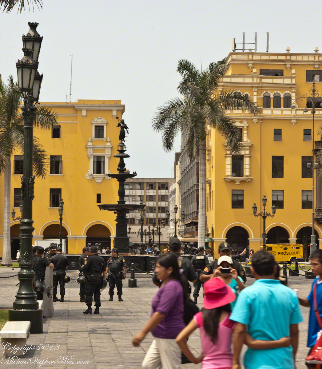
In Lima’s Plaza de Armas we witnessed this peaceful demonstration by pensioners protesting low payments.  To be honest, around this time, in Chile, there were huge demonstrations, hundreds of thousands in Santiago, about the same issue.

The Lima crowd was peaceful.

Watched by a heavy contingent of armed police supported by large “paddy wagons” to cart people away.  The vehicle marked “Prodegur” (i.e., prosecution) was one of them.  Given the history of government disappearances in the region, how brave the demonstrators must be.

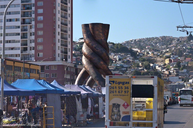
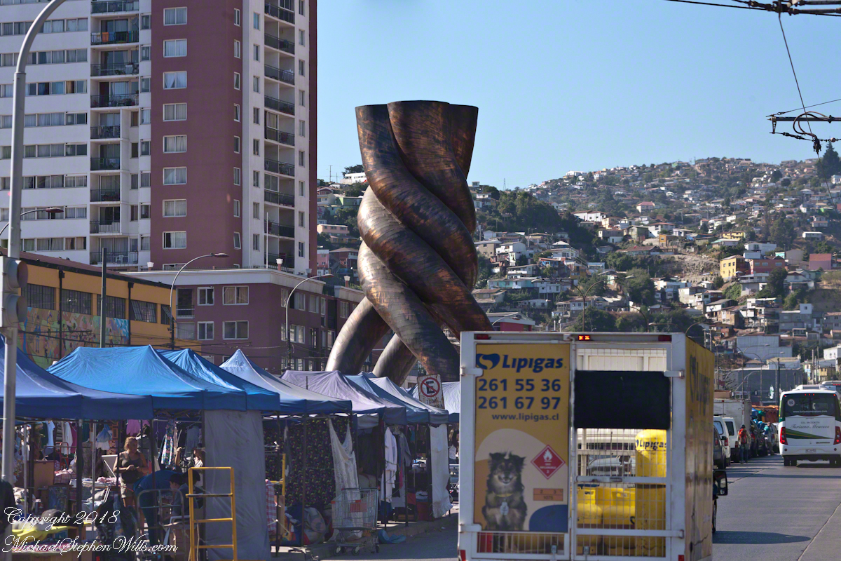
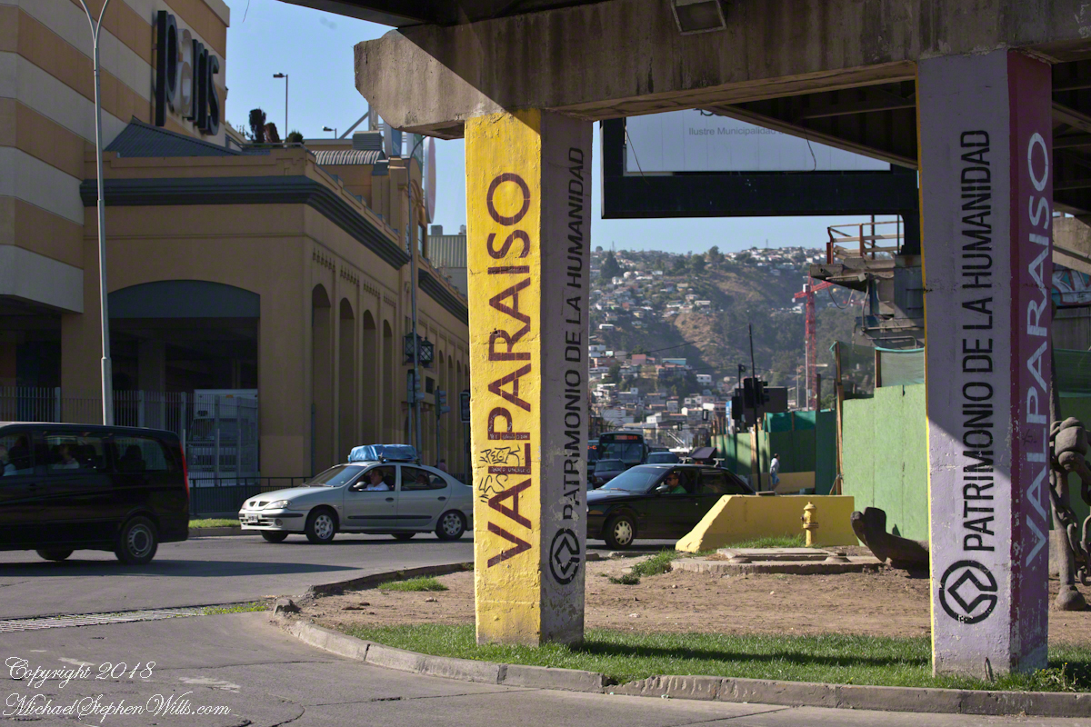
Our vehicle turns onto Argentina Avenue, passing under Spanish Avenue and these supports bruiting the “Patrimony of Humanity” status of Valparaiso.

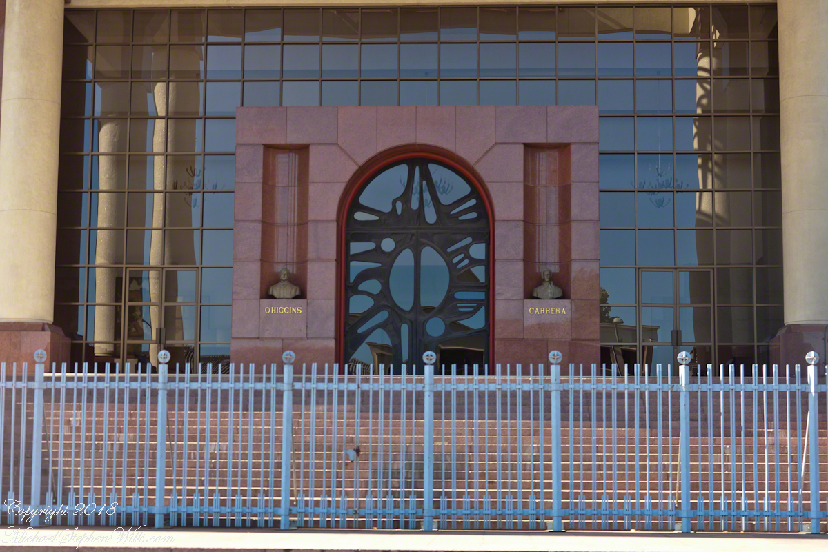
Turning onto Argentina Avenue, the overpass support columns announce Valparaiso’s status as a World Heritage Site. It is the old city around the port which holds this designation.

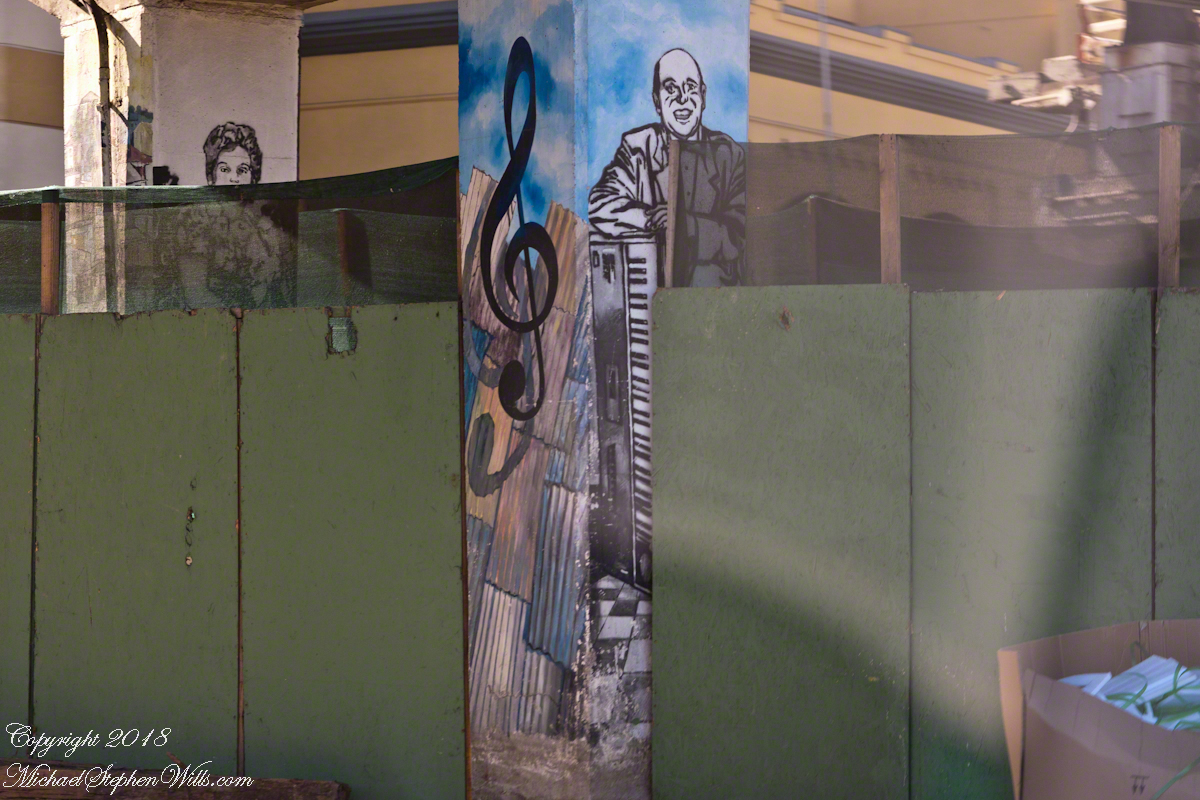
Other murals feature the zinc panels of the Old Town and cultural opportunities.  I noticed the pictured flooring is identical that of Hotel Brighton, see “Our Fifteen Minutes of Fame on Conception Hill.”

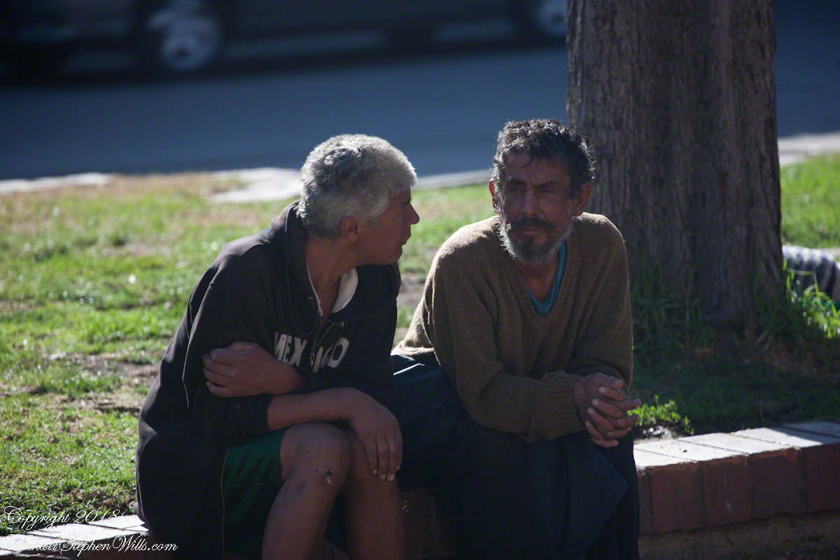
I wonder how a man of a certain ago scrapes his knees, these appear to be homeless people.

Two men carry on conversation on Avenue Argentina, Valparaiso during the weekend Avenue Argentina street fair.

They gives us big smiles and waves when they spotted me / us.  The people were open and friendly.

Valparaiso Connections I

The Albatross and Valparaiso

We’ll start in the parking lot of the Valparaiso Passenger Terminal, introduced in my last posting, “Valparaiso Old and New”.  The terminal was our first stop in Valparaiso, it services cruise ship passengers, it was in the parking lot we met Ricardo, a guide and city native.  In his late sixties, Ricardo lived through numbing changes:  the political turn left and election of Allende, followed by a military coup d’état (called golpe de estado in Spanish) and rise of a military officer, Pinochet, to dictator.  From the 70’s through 80’s Pinochet ruled, abolishing the congress in Santiago, enjoying ruthless suppression of opponents with the full support and assistance of the military.  In the late 80’s Pinochet allowed a return to democracy, a new constitution with a bi-cameral (two houses) congress in Valparaiso and elected president.  Ricardo was quiet about these times, as are most Chileans and we did not press him.

Click any photograph to open my Fine Art Gallery.

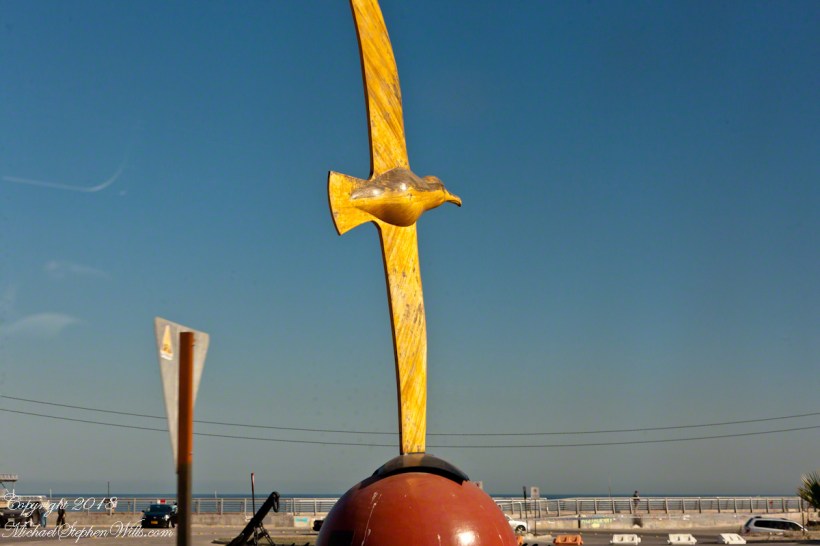
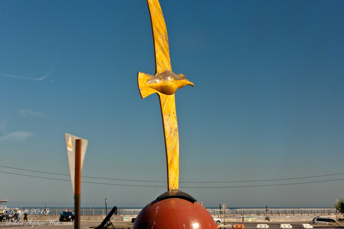
The bus passed a carved wooden statue of the albatross, near the terminal entrance.  A bird of the southern ocean, familiar to mariners for the habit of following ships, this aspect of soaring the a familiar posture.

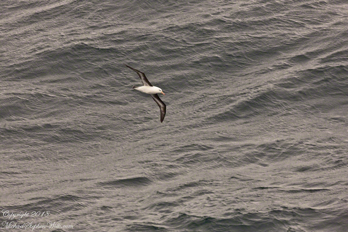
Here is a specimen in this posture following the Regatta on February 22 as we traversed the Southern Atlantic between the Falkands and Punta del Este.  That day, many albatross soared among the 20+ foot waves, the wingtips very close to the water surface.


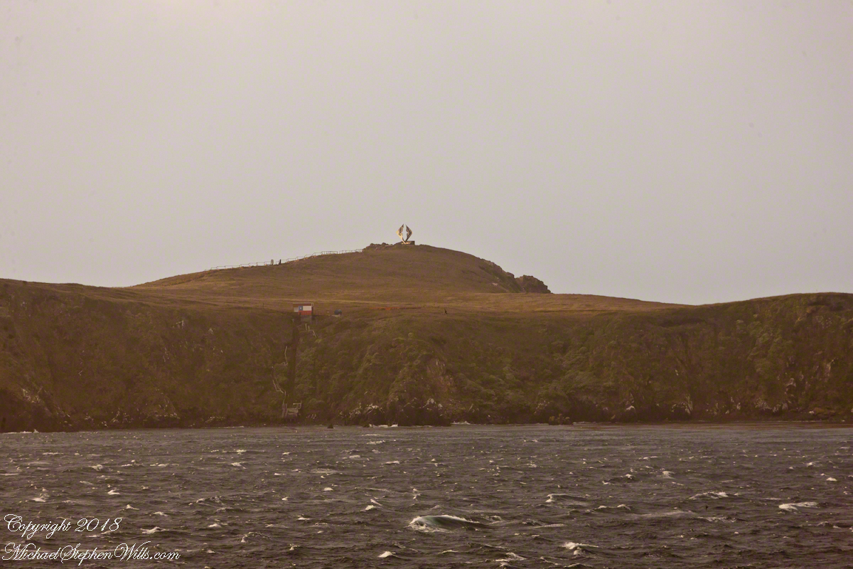
The day before, February 21, the Regatta approached the southern most point of the western hemisphere, Cape Horn, coming within a mile of the landing point and monument.  At the top you can see the steel sculpture of the outline of an albatross set in a stone plinth.

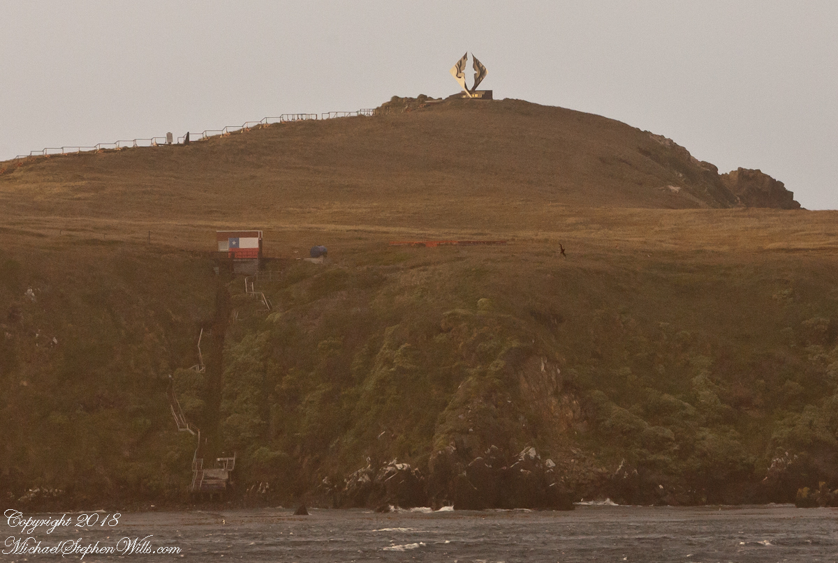
A cropped version of the above image, the albatross outline is easier to see.  Also visible, at the cliff base, the landing, stairs, a platform painted as a Chilean flag, the railings leading up to the Albatross Monument.

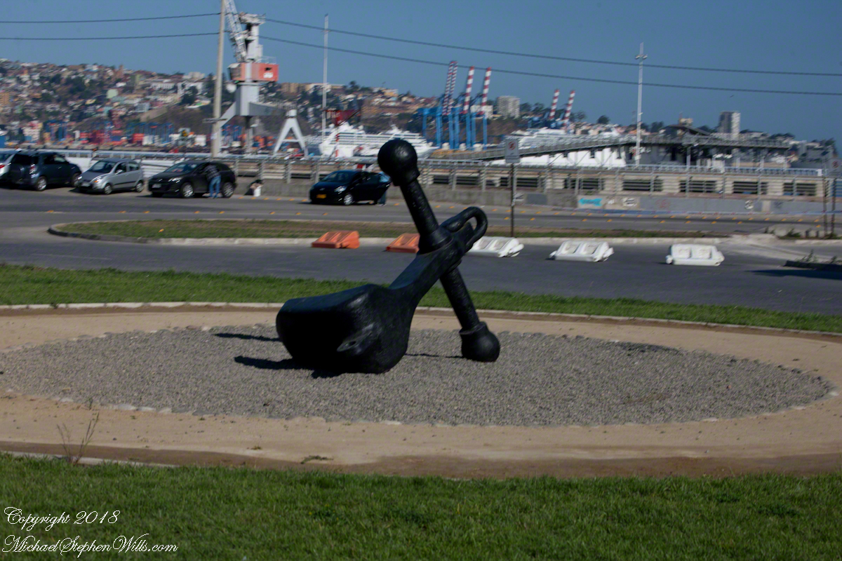
All of this to emphasize the unique position and reason for being of Valparaiso of the eastern South Pacific, made evident by the recurring motif of an albatross soaring among the waves.  This retired anchor, close to the albatross sculpture, on our way to Argentina Avenue and the weekend street fair (to be continued).

Valparaiso Old and New

Stray Thoughts on Labeling, Valparaiso Port

Shortly after breakfast Pam and I were among a gathering of travelers, several friends made in the last ten days among them, waiting in the Regatta lounge for tour assignments.  In my previous posting, “Valparaiso Separation, you can see exactly where the Regatta was docked among the orderly chaos of the port as seen from the Ascensor Conception.  “Valparaiso Separation” also includes several photographs from my early morning hours on our port side stateroom terrace photographing the approach to Valparaiso and the city itself.

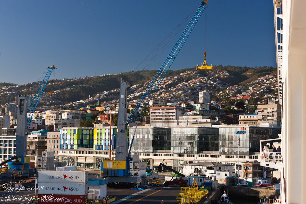
Walking down the gang plank, our bus assignment in hand, number 17, we boarded a shuttle to take us through the port, to customs.  See the upper left corner?  Here is part of a loading crane, seemingly the underside of a bridge.  In “Valparaiso Departure I”  you saw it loading rolls of wire.

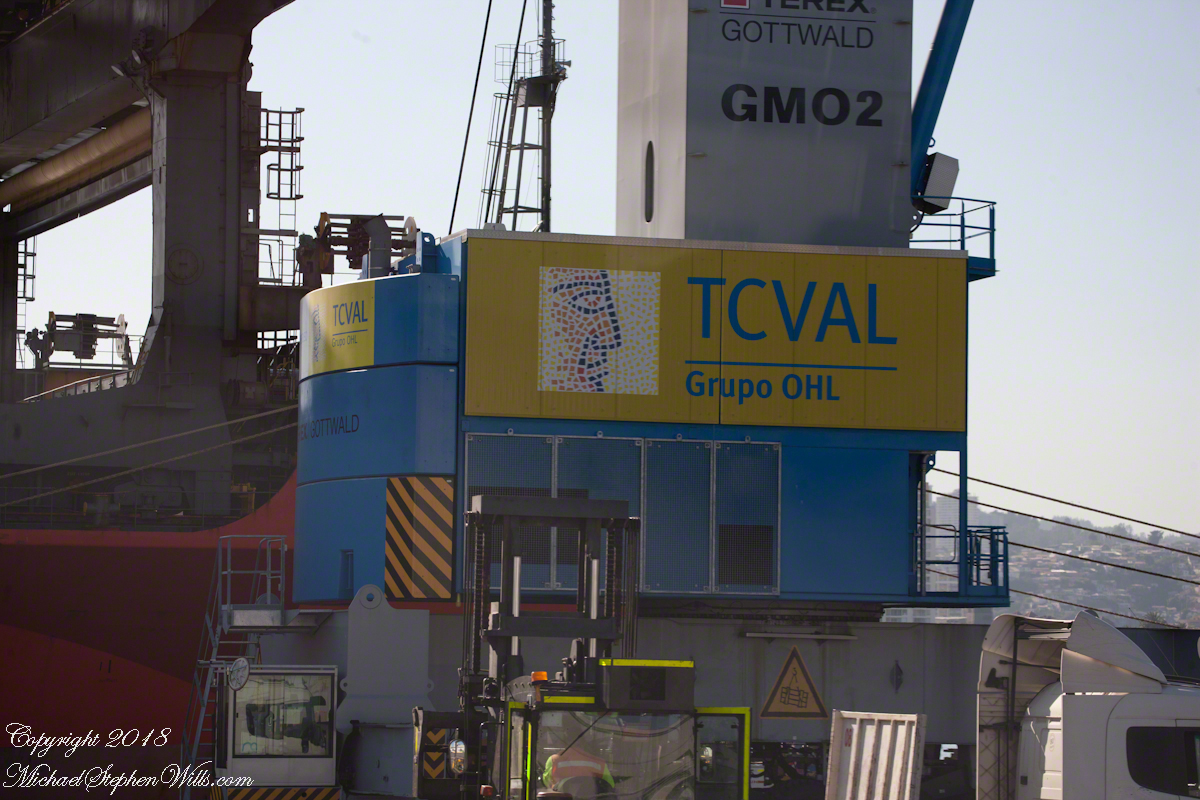
The structure labeled TCVAL is called the Gottwald, a mobile harbor crane from the TEREX based in Dusseldorf, Germany.  TCVAL is an acronym, “Terminal Cerros de Valparaíso” (Hills Terminal of Valparaiso), and stands for the port management company.

I caught two overviews of the area from our stateroom balcony.

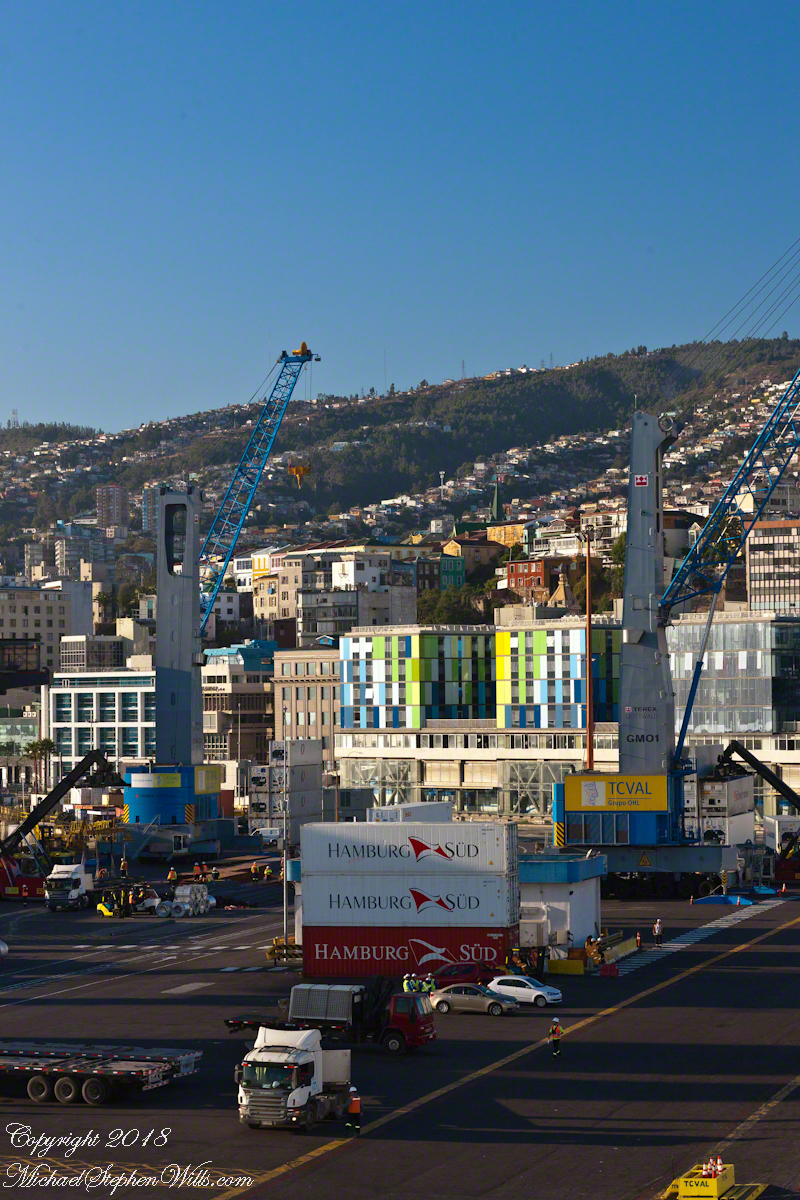
Looking along the port side of the Regatta.  Our room was on the same level as the bridge, visible on the right with several Regatta officers enjoying the Valparaiso port view.  From here, the shipping containers (“Hamburg SUD”) are loaded onto semi-tractor trailers for points all around South America, they call the southern most land “The Cone.”
We are surrounded by labels, the #17 in our hands, “Regatta” on the ship bow, all with a story to tell.

Unlabeled from this side, two towers covered with multi-colored panels, shades of green and blue with white, the Hotel ibis Valparaiso.  I looked it up on Google Maps.

To the right is AIEP Valparaiso, a technical college, founded just three years before, 2013.  We are seeing them from behind, the side that faces the harbor, both the hotel and school front a street named Errázuriz.

Take note of the lower floors with the large, crisscrossed supporting struts.

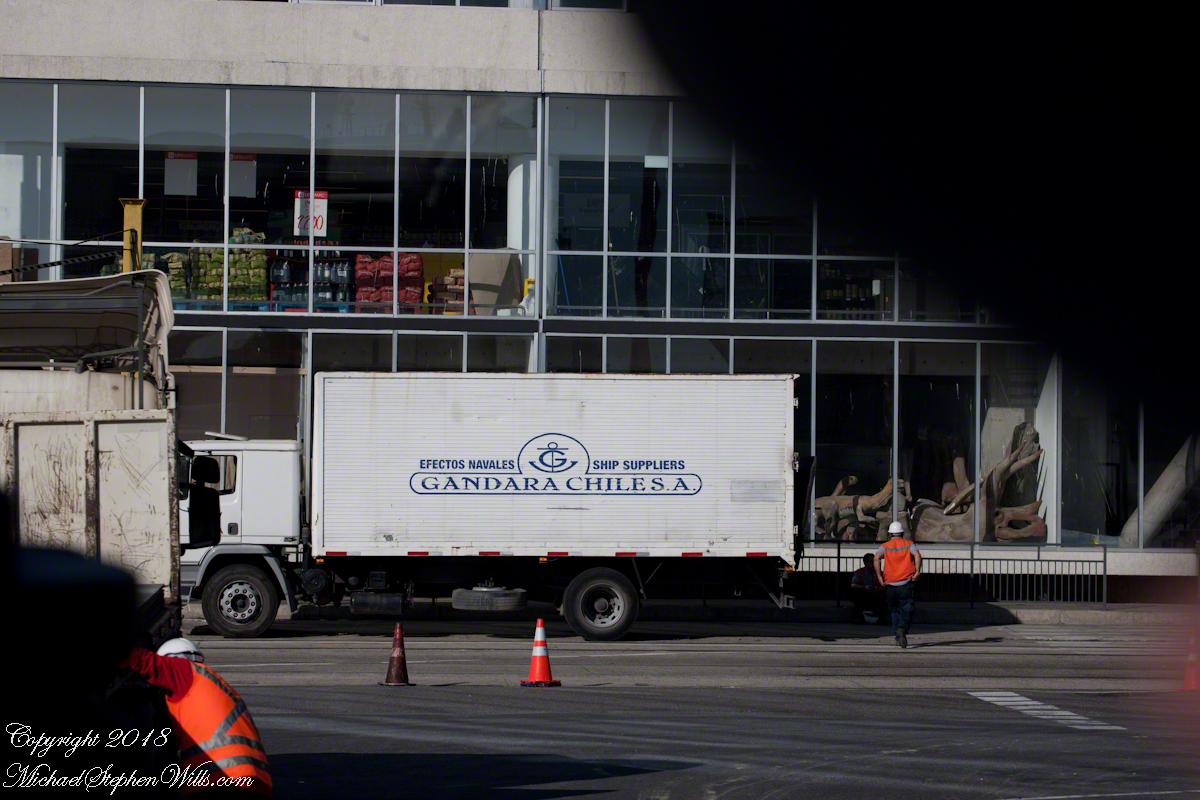
Back on the shuttle, we pass along those lower floors.  Look to the right of the Gandara Chile, SA truck….dinosaur models.  The floor above seems to be retail displays of bulk packaged products.

Everywhere stacked shipping containers….

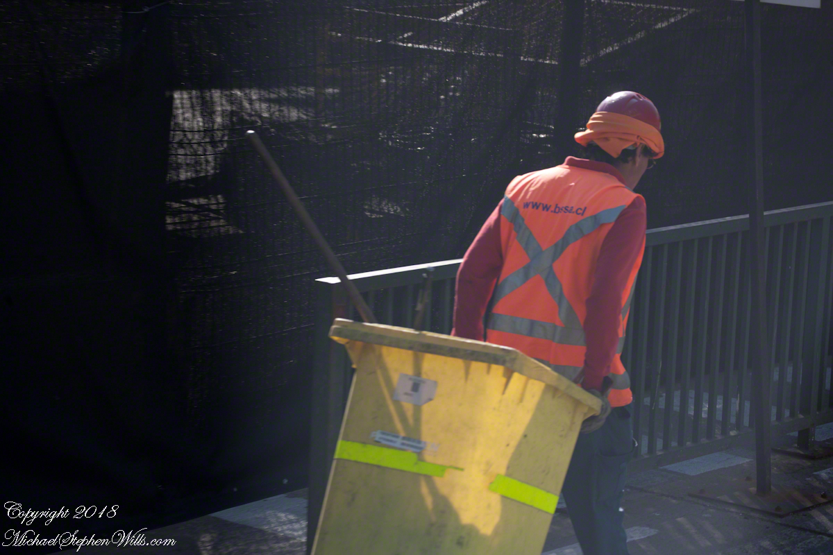
…throngs of busy workers.  This fellow works for “Building Services”, a cleaner.

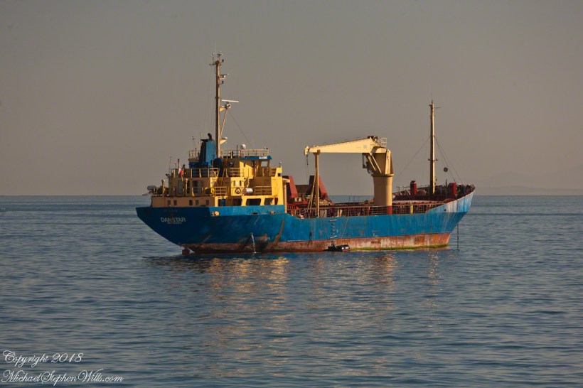
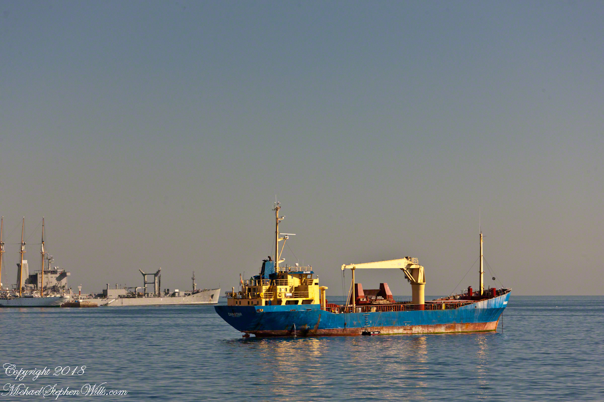
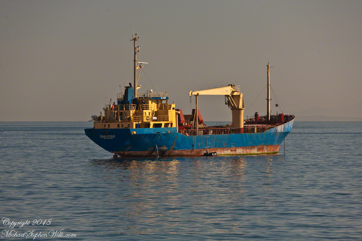
We’ve looked right.  To the left a view of the port opens.  War ships in the distance.  Foreground is a general cargo ship, the crane midship is used for unloading in smaller ports.  Currently unloaded, we can tell by how high it is riding.  There is a rope ladder on the visible starboard side, a landing boat with an outboard motor along side.  One person is visible on the upper deck, wearing a baseball cap.

Named “Danstar” home port Valparaiso, the Chilean flag hangs stern side.  A general cargo ship, I looked it up.  On the day I started this post, it was sailing the southern pacific heading from Hanga Roa, Easter Island.  The label on the bridge, CA 4392, is the radio call sign.  The bilge pump is working….wonder how strict the pollution stands are for Valparaiso harbor?

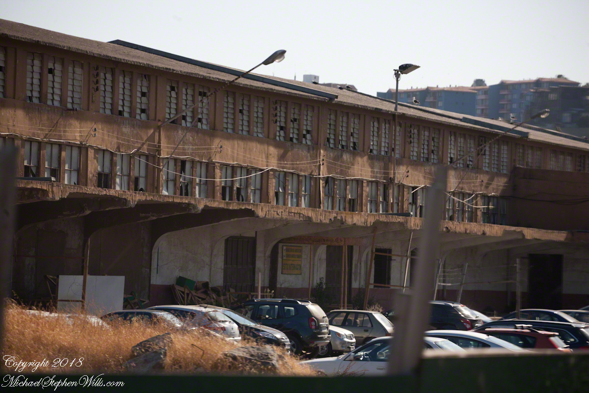
Back to the left, an unpromising aspect.  No labels here.  Shortly after the transport unloaded us for customs.  I generally do not photograph those workings, no use being pulled aside for questioning by unsympathetic officers.  Just a precaution, the entire trip the customs people were friendly and the inspections cursory.

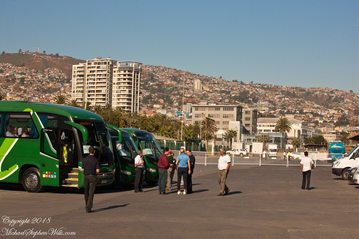
Here is where our slip of paper, #17, is used just in case we forget the number.  Here is wonderful guide, Ricardo, holding a loft the #17 flag in from of bus #17.  The wonderful city of Valparaiso laid out for us in the morning sun, the sky cloudless.

New buses, nice!!!

Ricardo introduces himself.  His name tag “Oceania, Your World, Your Way.”  Cannot help getting some humor from that.

German Club “To the Watermill”

Nostalgia and Great Food

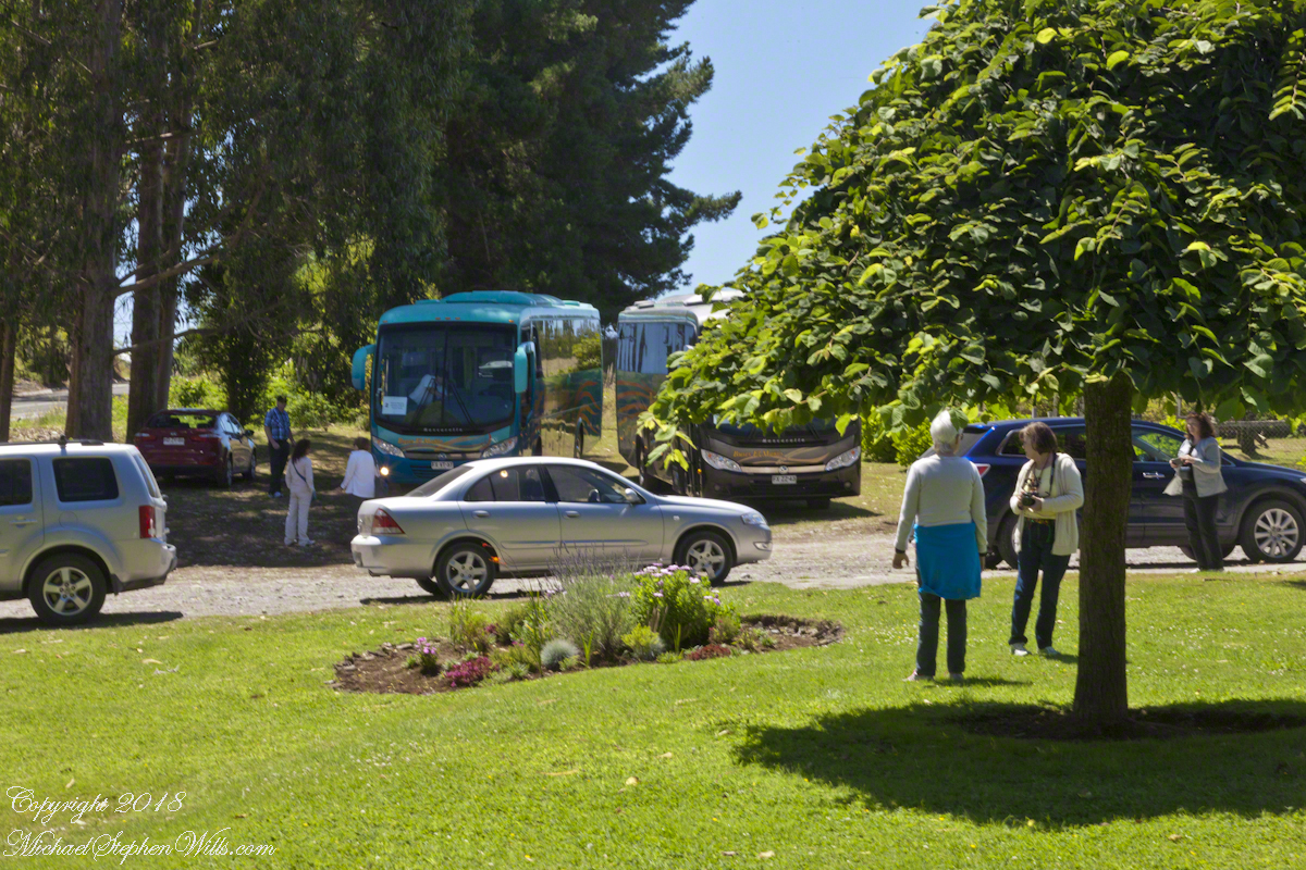
Our tour of Chilean Lake Country and Volcanoes began from the harbor of Puerto Montt, in the tender we boarded from the ship Regatta. This is a small boat carried in the hold and deployed to transport passengers to ports without docking facilities. Once on land, we met our guide for the day and boarded the bus.

I have yet to post about our first stop, Puerto Varas, a 20 minute ride and our first exposure to the influence of 19th Century German settlers seen, from our bus windows, in the architecture. Today’s post is about our lunch stop, a restaurant half way between Puerto Varas and Ensenada.

Click any photograph for a larger view.

Club Aleman Molino de Agua

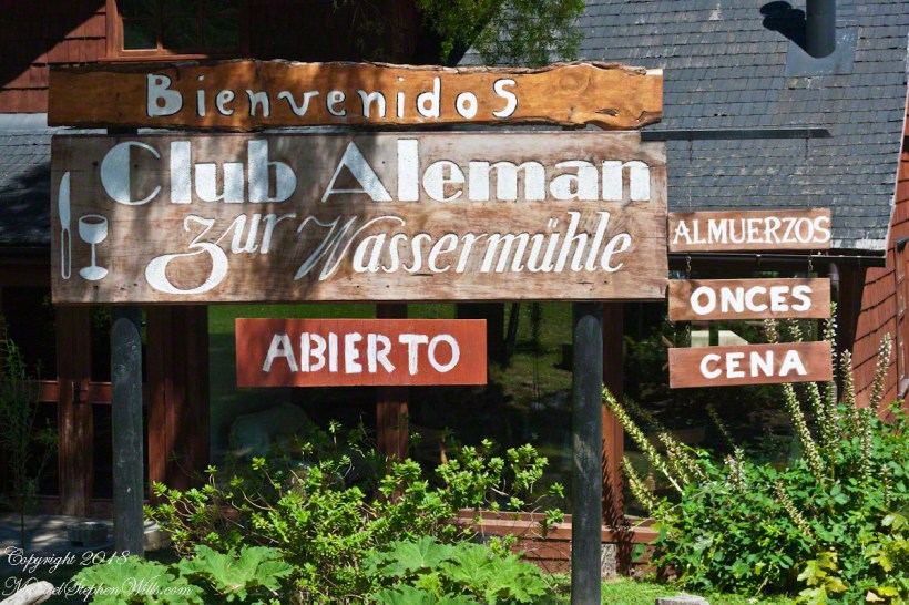
Club Alemans (German Clubs) are found in Puerto Montt, Puerto Varas, and here. Each is a gathering place for locals to celebrate their heritage, a feeling somewhat diluted over time to where, now, they speak of themselves as “Chileans of German extraction” and the great majority speak Spanish at home and are exposed to the German language as school courses.

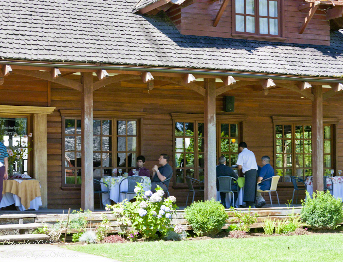
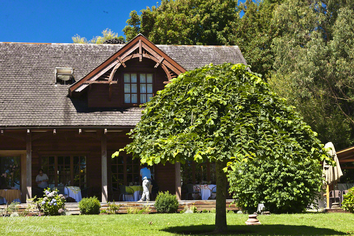
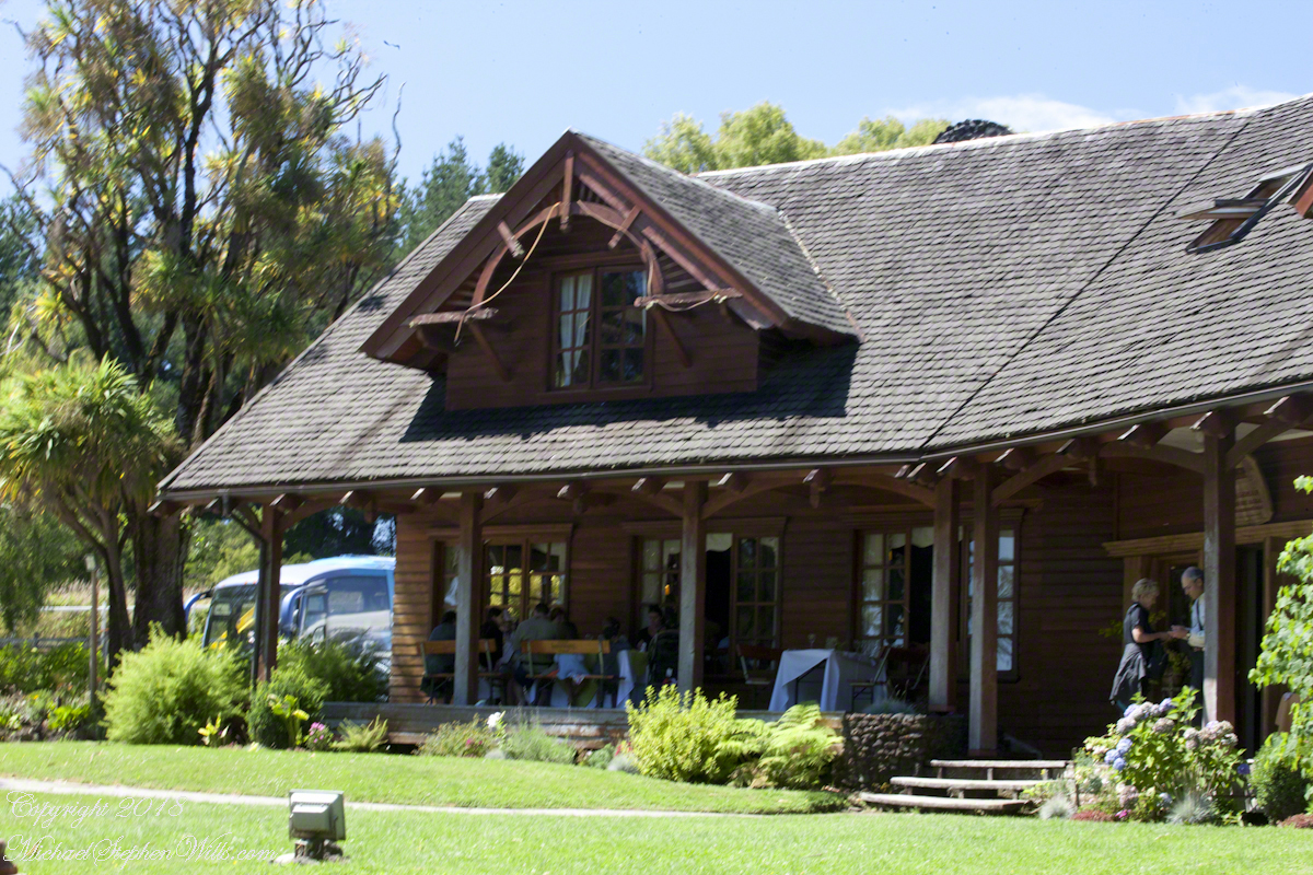
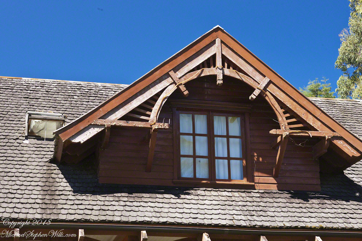
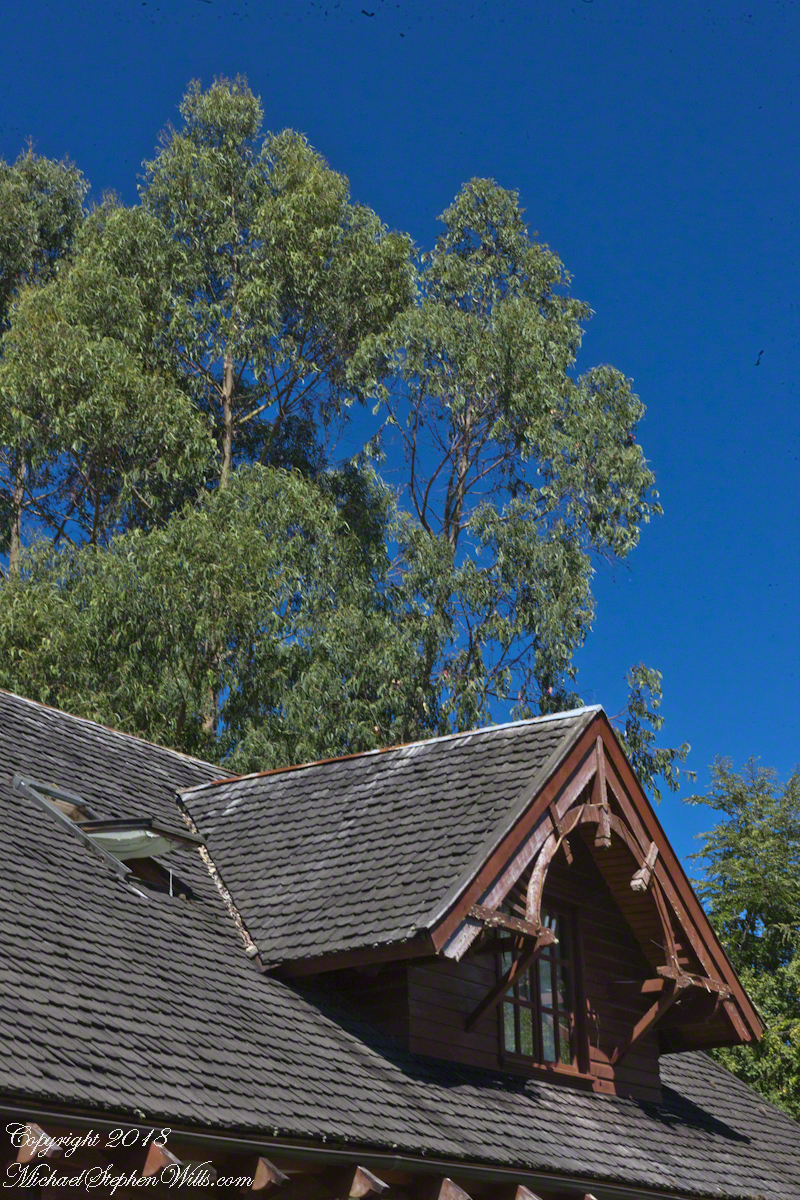
For past generations, the link was stronger, German was the language spoken at home and there was homesickness for the cultural traditions left behind and somewhat alleviated by the similarity of Chilean Lake Country to foothills of the Alps. Once established, the settlers duplicated the architectural features using local wood. Notably, many houses are clad with shingles from the Alerce (also known as Fitzroya cupressoides), a type of Cypress native to southern Chile and Argentina. The roof shingles of Club Aleman, seen below, were of this type.

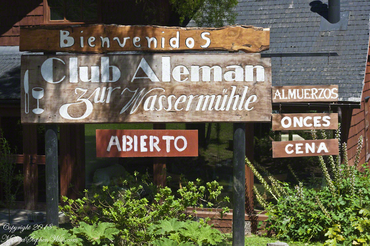
The sign translates to “German Club: to the watermill” from the two languages used: Spanish and German. The sign reads “lunch, dinner, late night.” “Onces means Late Night.

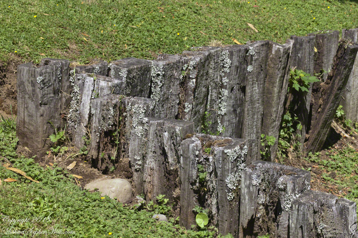
The “watermill” is a nostalgic, sentimental reference echoed in architectural and decorative details throughout the property, such as this series of posted set to suggest a device used to control water flow. There is no water flowing through the property.

Our lunch was excellent Chilean fare, but I don’t recall what it was, exactly and I didn’t photograph the interior. For us, an plus of using these cruise tours is all the details are taken care of, releasing us to maximize our enjoyment of the surroundings.

A dark side to these settings was the attraction the area had to un-remorseful Nazis fleeing war crime prosecution. In Chile and Argentina they found refuge in the 1940’s, 50’s and were supporters of the Pinochet dictatorship. None of this history was presented by our excellent guide, nor was it reflected in these rustic charms.

I was fascinated, for some reason, by the two dormers of the main building root with the wheel-like decoration.

The Garden

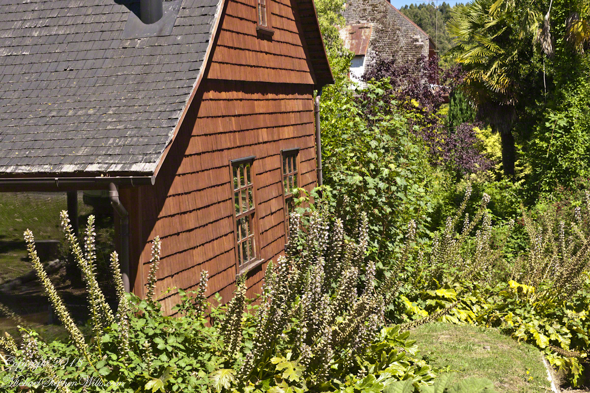
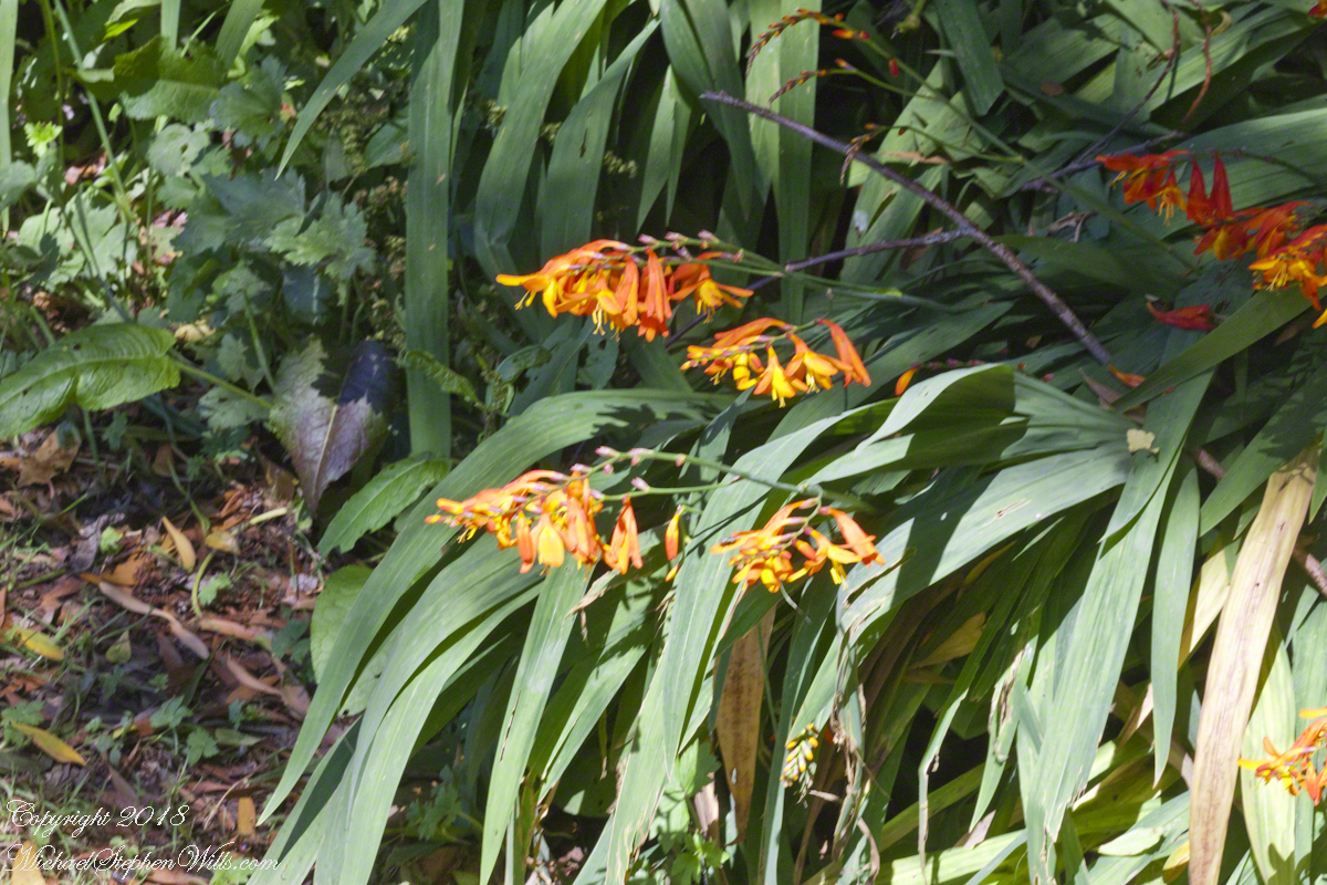
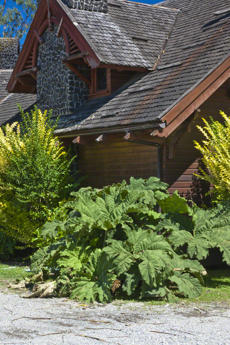
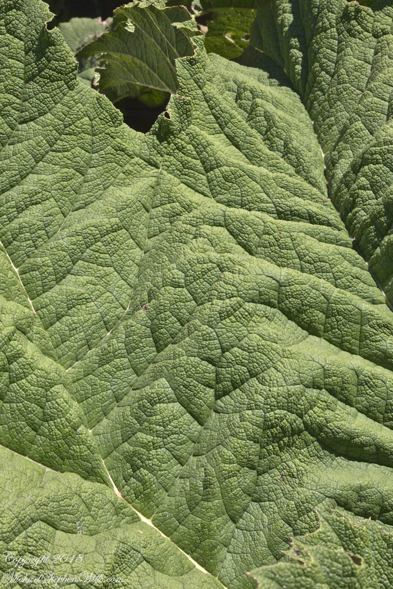
A native plant encountered frequently in our travels, growing wild, and here.
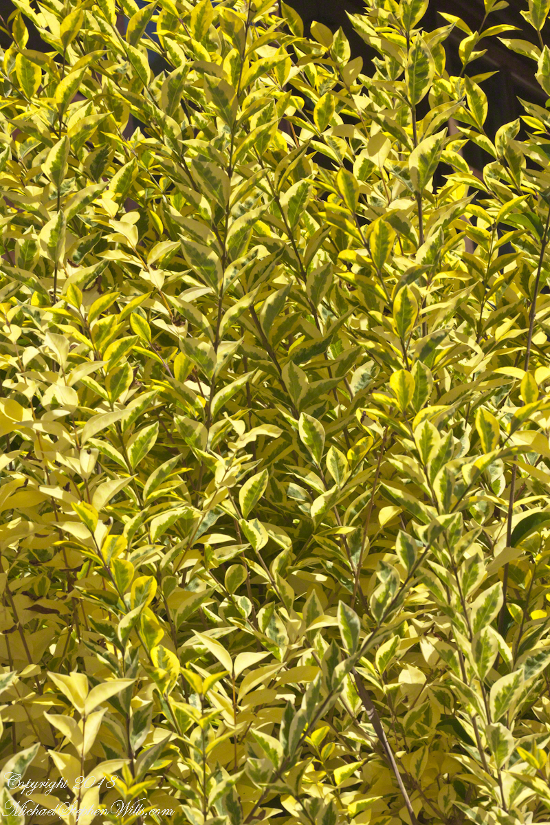
Close-up of the shrub growing to either side of those large leaves.

Selfie Sticks and Petrohué Waterfalls

the selfie and me, me, me

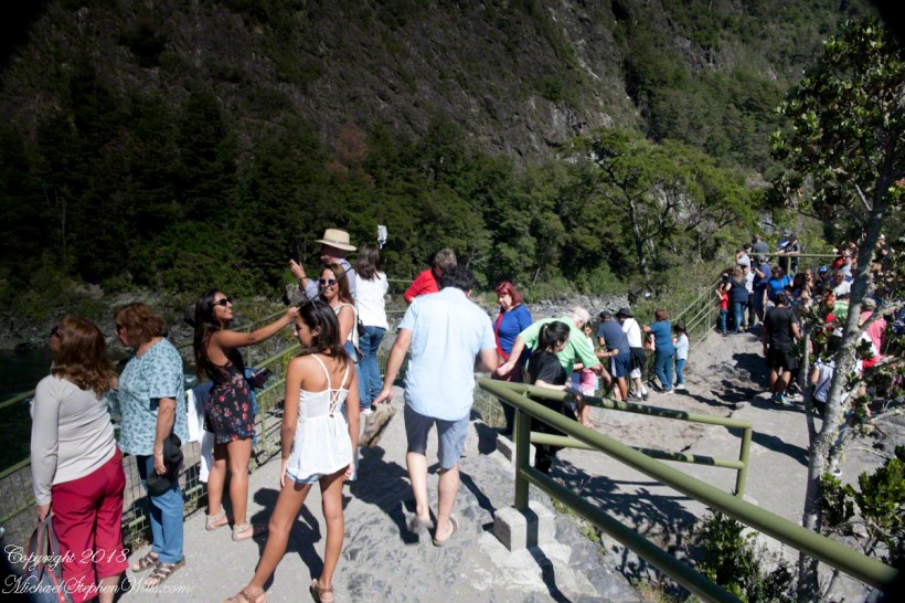
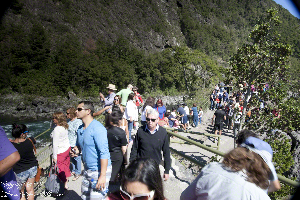
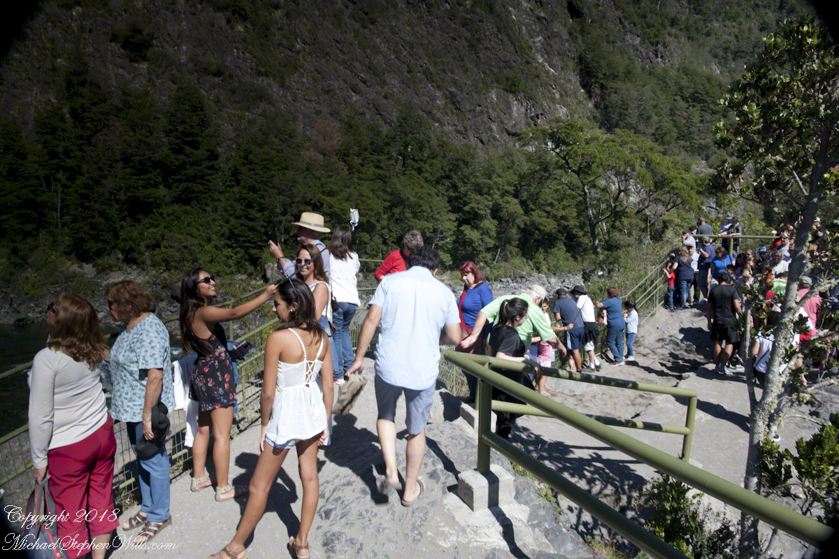
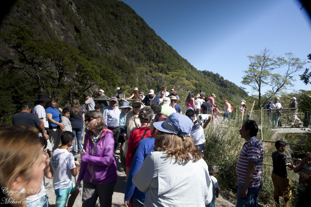
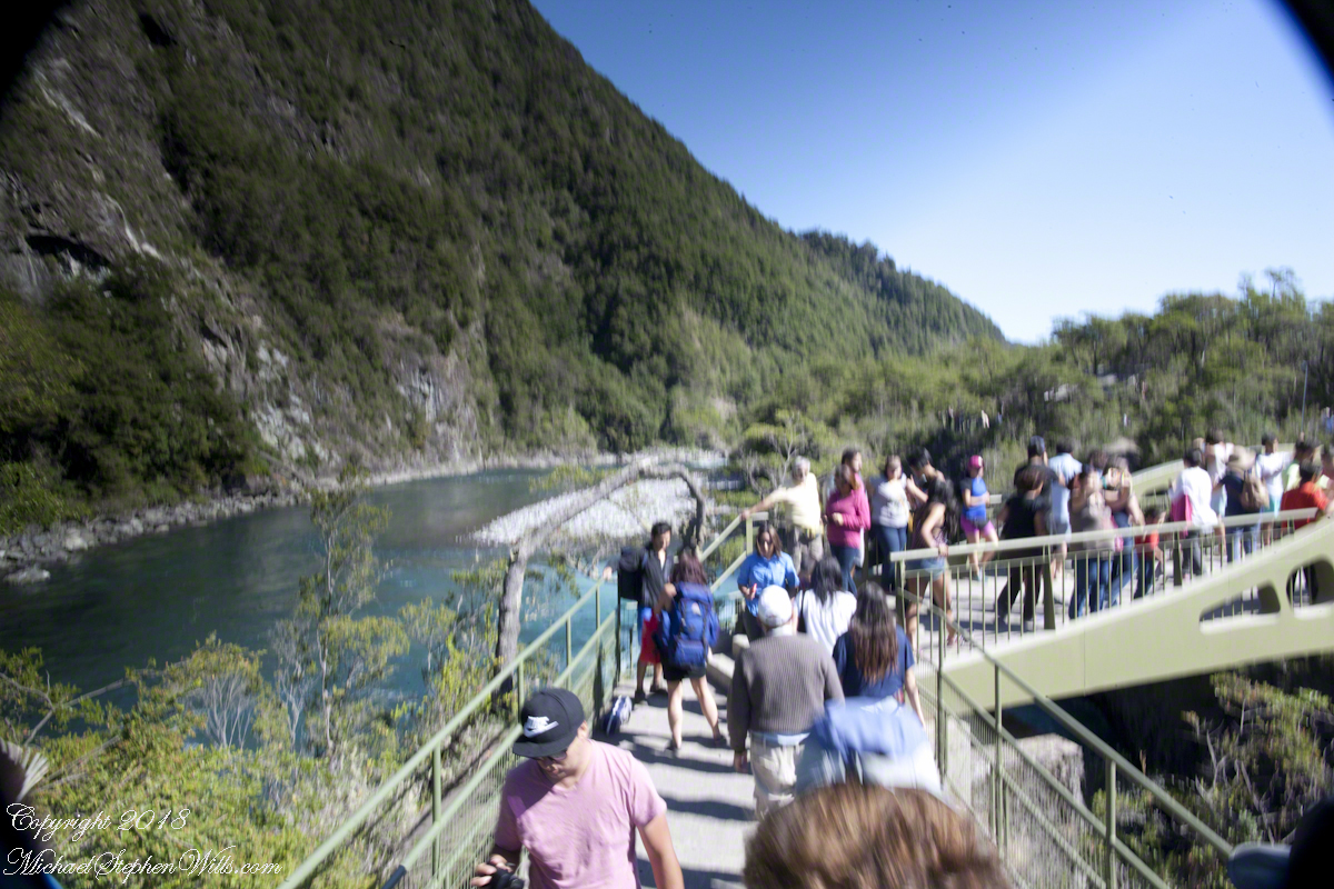
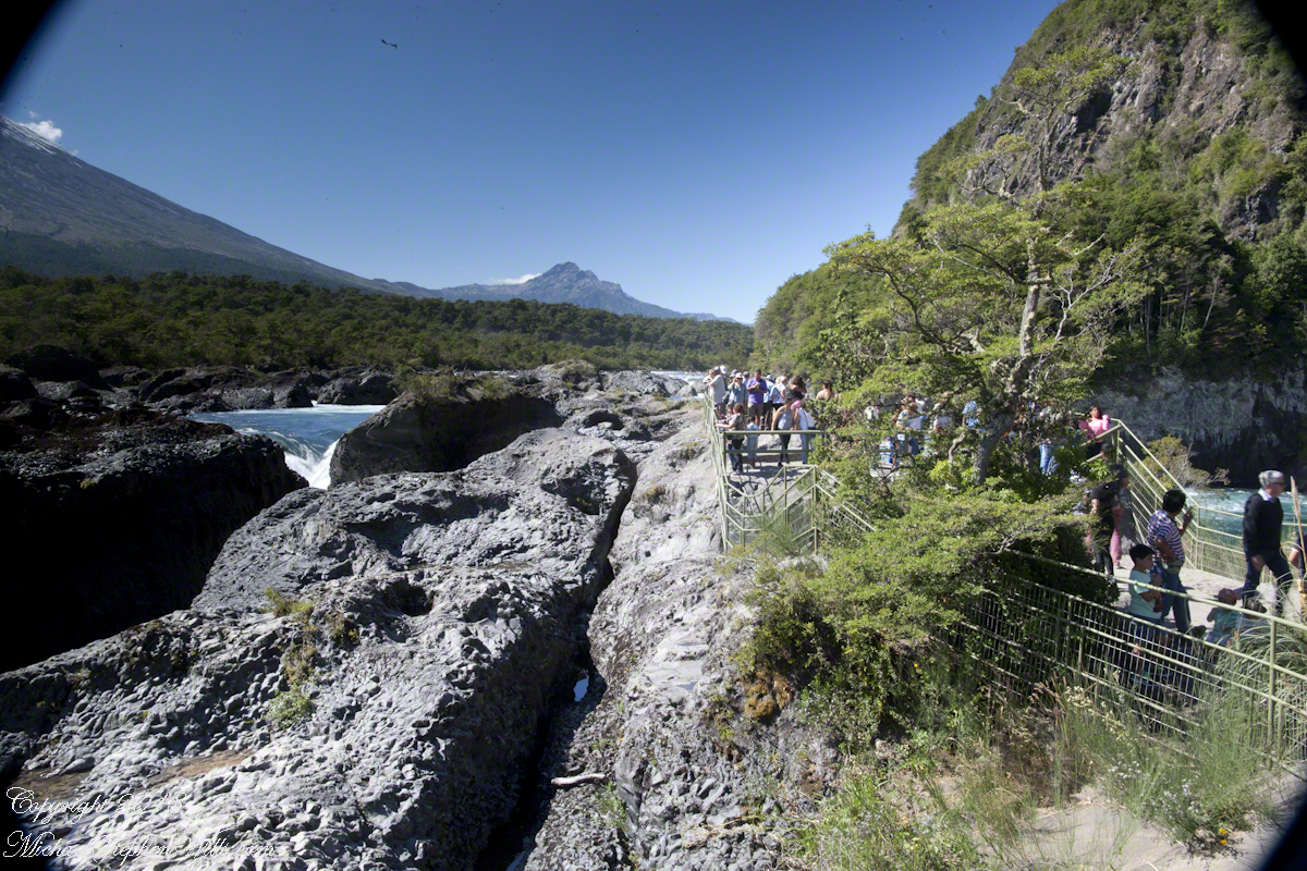
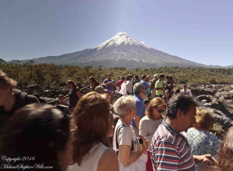
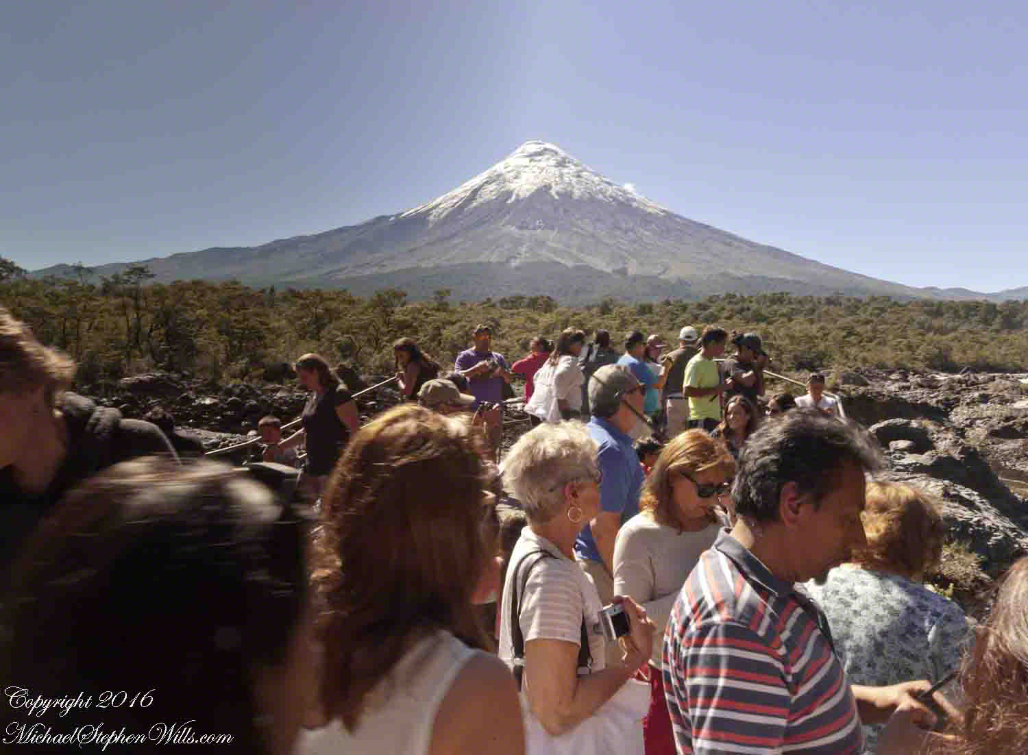
Petrohué Waterfalls are on the tourist track, traffic on the walkway was heavy on the southern hemisphere summer day, February 2016, of our visit. People were relaxed and friendly, the walkway well designed and safe. The wide angle lens was mounted on my Canon dslr, with a circular graduated neutral density filter. This is a filter with the upper third restrictive to light fading gradually to clear and mounted on a ring to rotated to cover the bright portion of the view. I used this successfully in the previous postings to obtain an exposure of the bright sky and darker land (for example, “Orsorno Volcano and Tourists.”). I could not resist capturing our fellow tourists. With a wide angle lens it is easy to do candid shots, such as the following. Most people are unaware of the capability of the 24 mm wide angle lens.

Click any photograph for a larger view.

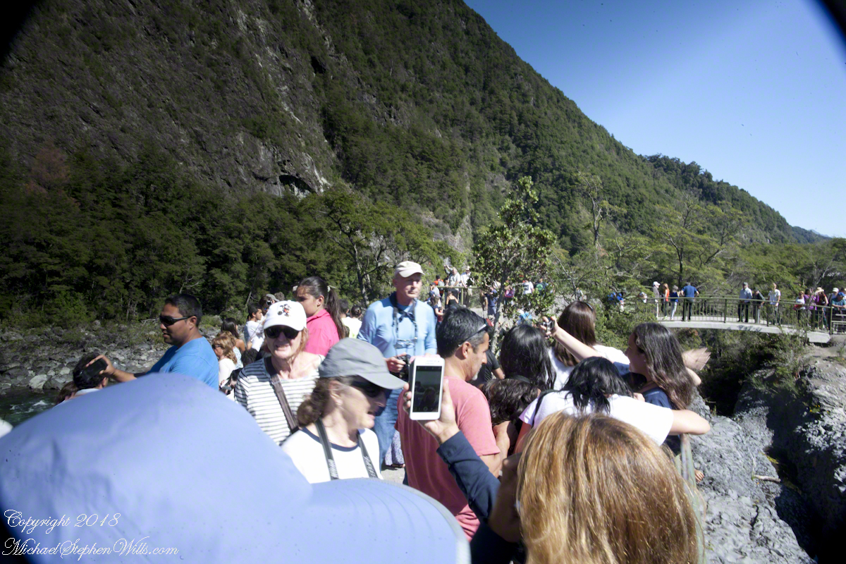
Unfortunately, in the rush of the crowd and moment the dual use of a configuration for landscape and (candid) street photography lead to mistakes. I did not have the lens hood attached correctly, you can see the hood in each corner. Then there is the circular, graduated filter. In the above photograph, the shaded portion runs across the lower left to the upper right. The subject is watching me photograph the water.

Here, I turned around from photographing the Orsorno Volcano to capture these selfie fans leaning against the railing to capture themselves and the volcano through they are in the minority. The trail is a “dead end”, rising to the point above the falls, where I am standing.

Selfie Stick

We started back down towards the point over the incredible emerald green water. There were three teenagers having fun with a selfie stick. Around them are people entranced by the water, as we werel.

Smile!! You’re on Candid Camera

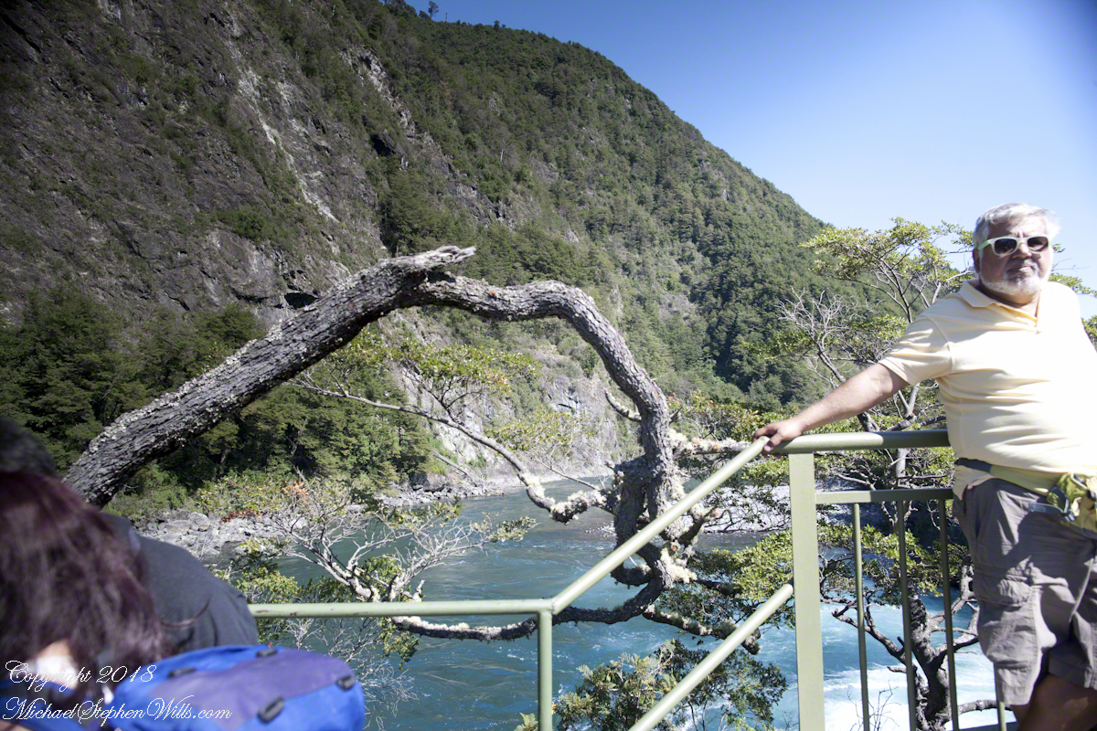
Headed back, I thought that curving tree was a good subject. Turned out, a fellow tourist heightened the interest of the shot. You see him, leaning against the railing next to the tree in the mid-distance of the following shot.

Here I am, looking back toward the child of Orsorno and the entire length of the observation walkway filled with people.

Moll’s Gap on Getty

Happy New Year….starting it off right

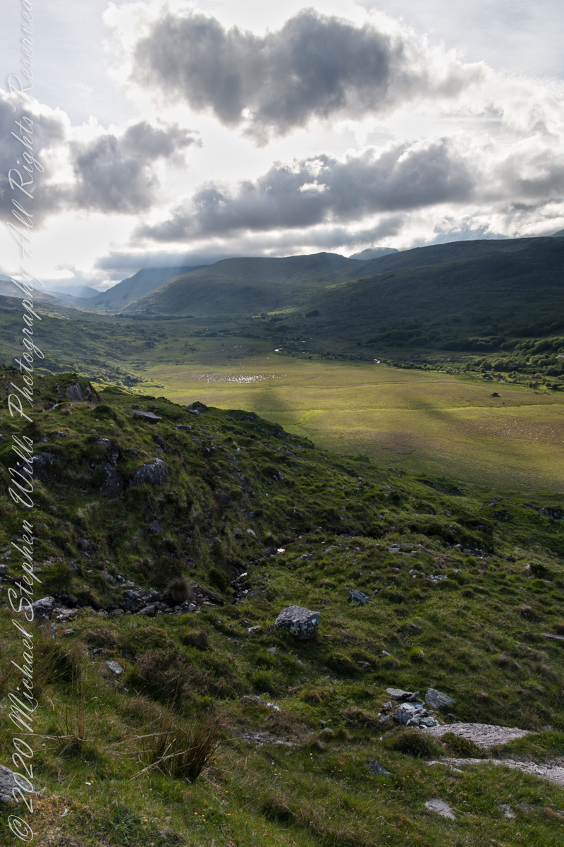
We are near Molls Gap on the Ring of Kerry. At our feet is Eric townland, there’s an eponymous Bog Nature Reserve down there. At our feet is Eric townland, there’s an eponymous Bog Nature Reserve down there.

Click me for the two (2) Molls Gap photographs accepted and published by Getty.

Click pic for larger view in a new browser tab. If you are in WordPress Reader, open the post to use this feature.

Copyright 2021 Michael Stephen Wills All Rights Reserved

Seven Ladies View Accepted by Getty

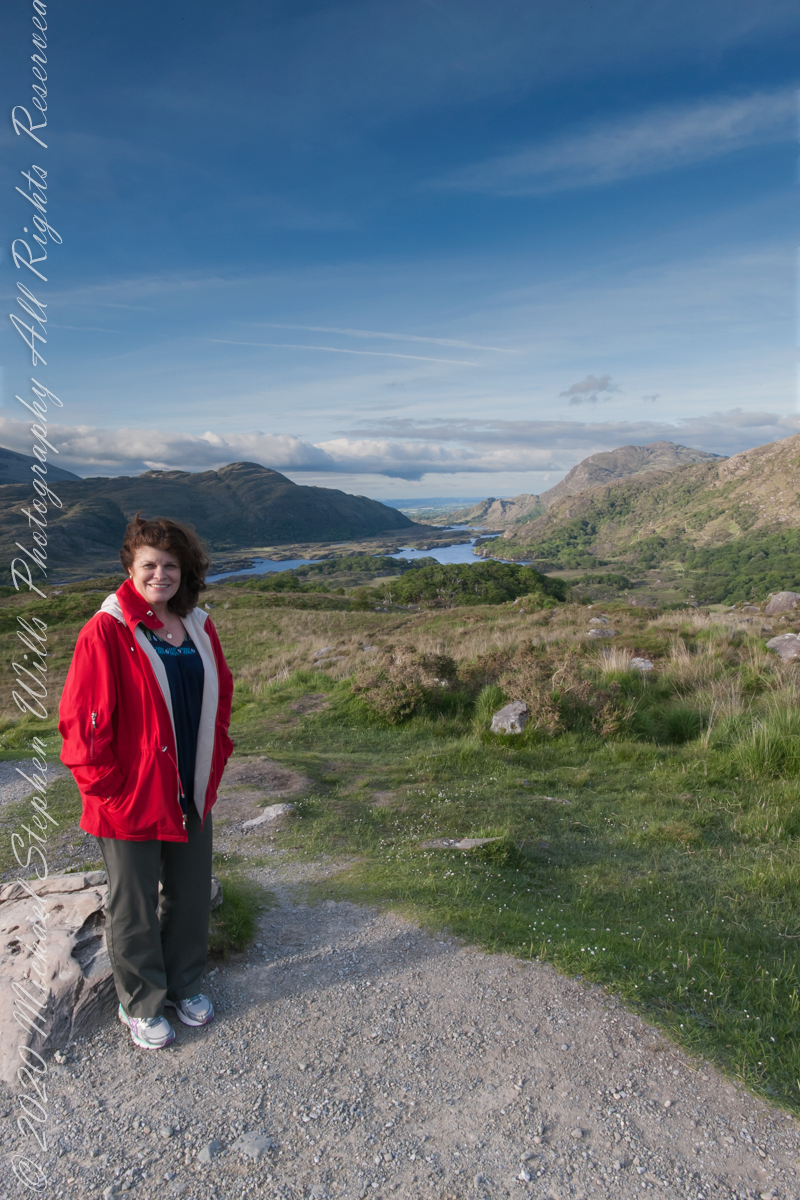
My wife, Pam, at Ladies View, on the Ring of Kerry

Here we are, on the road from Kenmare to Killarney, N71, part of the Ring of Kerry around the Iveragh Peninsula. The view was celebrated by Queen Victoria’s Ladies-in-Waiting during an 1861 tour of Ireland

Click me for the seven (7) Ladies View photographs accepted and published by Getty.

Click pic for larger view in a new browser tab. If you are in WordPress Reader, open the post to use this feature.

Copyright 2021 Michael Stephen Wills All Rights Reserved

Ladies View 10

last version

Here we are, on the road from Kenmare to Killarney, N71, part of the Ring of Kerry around the Iveragh Peninsula. The view was celebrated by Queen Victoria’s Ladies-in-Waiting during an 1861 tour of Ireland

Here the camera, link #9, is turned toward the sun, low in the evening sky, emerging from clouds with a bright sunbeam on Upper Killarney Lake. The previous view was portrait orientation. This is landscape orientation.

Click pic for larger view in a new browser tab. If you are in WordPress Reader, open the post to use this feature.

Copyright 2021 Michael Stephen Wills All Rights Reserved

First Water Trailhead

A desert garden with plans

First Water Trail Head

Notable Sonoran Desert Plants, all in the same frame. From the left, back row: staghorn cholla, ocotillo, saguaro. Front row: teddy bear cholla, yucca. I am not certain the greenery to the left of the yucca is brittle bush.

First Water trail head is the most used access point to the Superstition Wilderness, being the closest to Phoenix and its satellite cities and suburbs. For day hikers there are ample and interesting route choices as all foot trails of the west side terminate at First Water making for a variety of loops and incredible views. For horse people there are facilities to park huge trailers.

The ready access from Mesa, where my sister and husband had their home, was the primary reason I planned to finish my cross wilderness hike on the Dutchman Trail. Named for Jacob Waltz of the fabulous legend of the Lost Dutchman mine, the inspiration for The Searcher’s Superstition Wilderness expeditions and, ultimately, why he and I met and my change of plans.

On our ride over from Roosevelt he told of his difficulties building a home in Apache Junction, sleepless nights spent guarding building supplies from thieves. He looked forward to moving day.

This photographic record of five days in the wilderness would be much different without that meeting yet, there I was that afternoon with plenty of time for photography during the golden hours of late afternoon as I wandered the desert gardens until my sister arrived.

Wild Barley

The long distant ridge beyond the rugged near hills is the backbone of the famed “Superstition Mountain.” On the far right are hoodoos, appearing as so many teeth on a jaw. Gorgeous saguaros in the foreground.

Weavers Needle is the distant peak, 5.5 dry miles away in this view to the west / southwest.

I’ve always been partial to how the dense spines of cactus catch the evening light. These staghorn chollas are in front of the same ridge of the Superstition Mountain. A famous formation, “The Flatiron” is visible on the far right.

The road to the trail head, Service Road 78, winds through 2.6 miles of hills. Here is another overview of Sonoran desert life.

You might remember hedgehog cactus blossoms from my posting “A Dry Piece of Paradise”. The following are from the large hedgehog cactus in the foreground of the preceding photograph.

Future Plans

During the drive back with my sister, Diane, we talked of plans for returning to the Reavis Ranch together, as a backpack expedition. In coming days I met with The Searcher to explore possibilities for a horse expedition and, three years later, these plans came together for a trip kicked off from this same First Water trail head.

Hedgehog Cactus Blooms

Here is a gallery of the same photos. It is fun to flip back and forth with me disappearing from the scene.

Click me for the first post of this series.