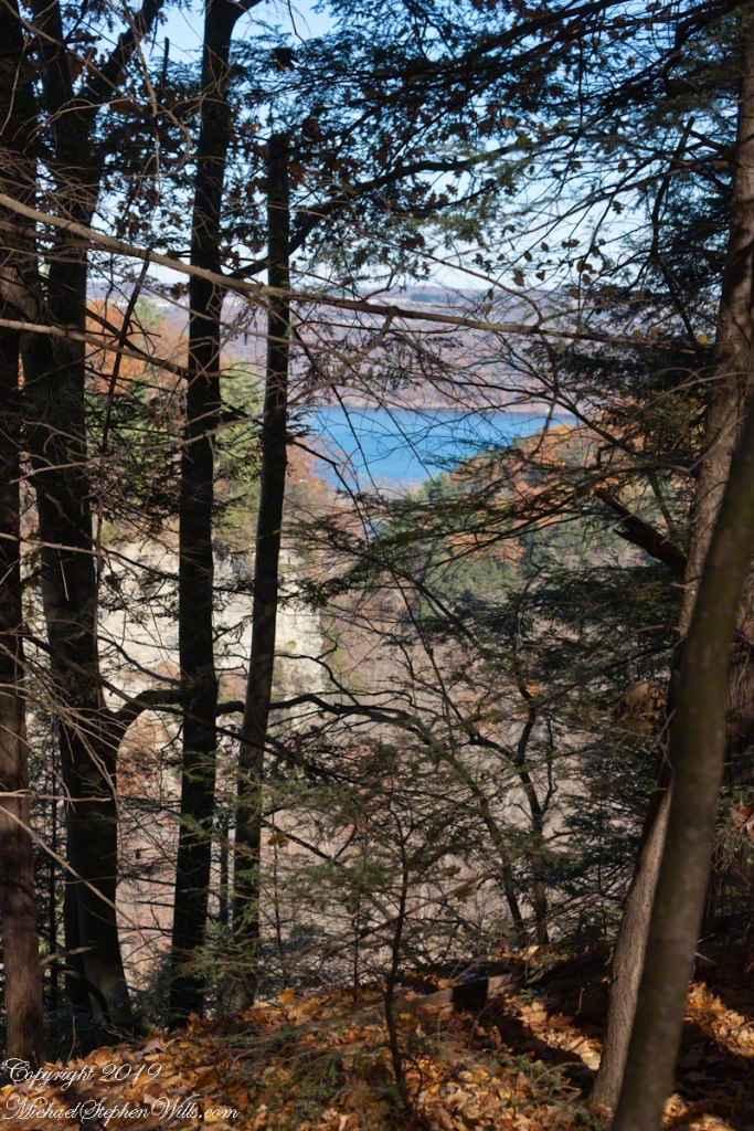
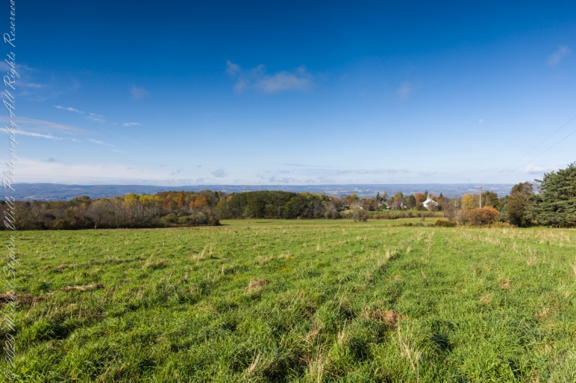
Black Oak Road approaches Connecticut Hill from the north. At this point a long view to west opens up that include Cayuta Lake and the distant highlands of Seneca Lake.
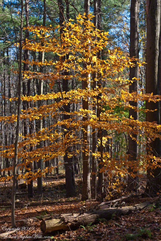
Black Oak View
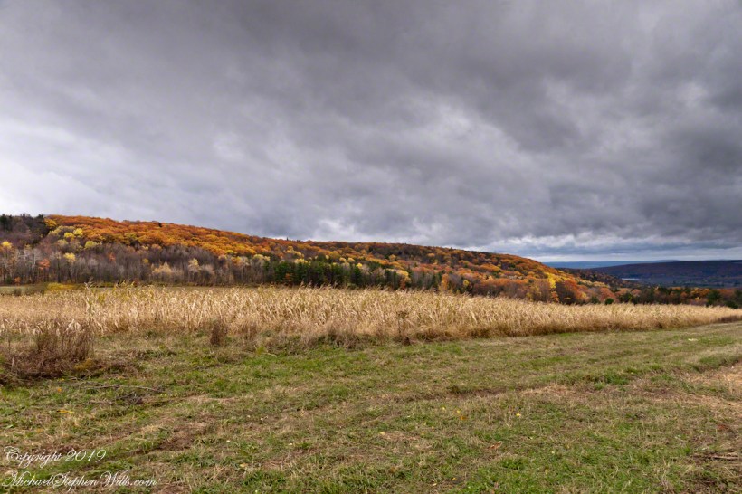
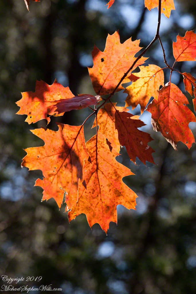
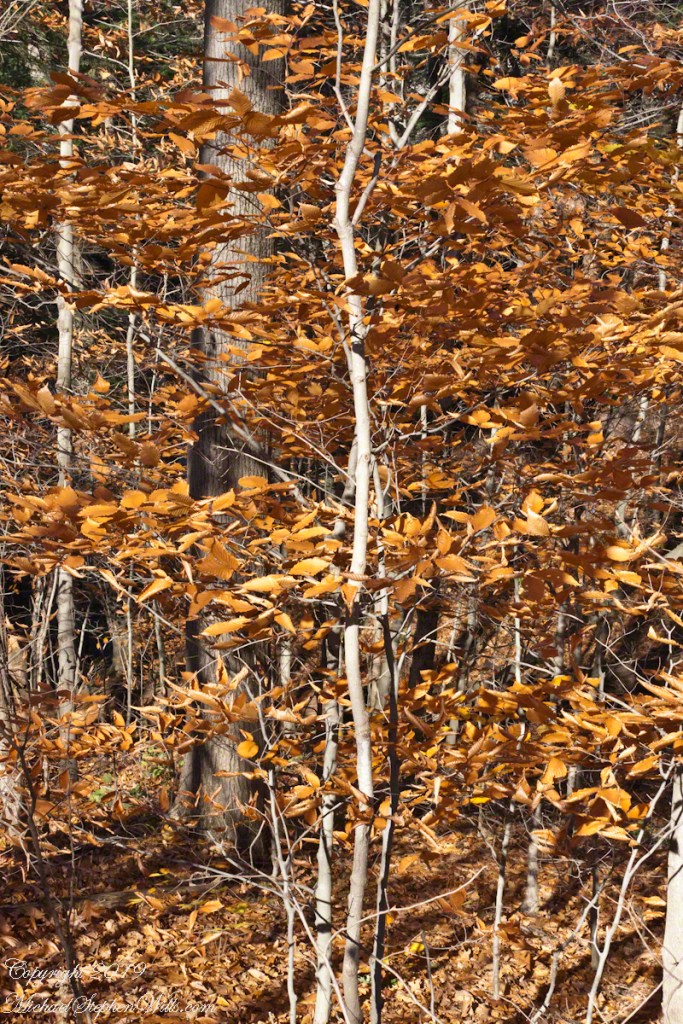
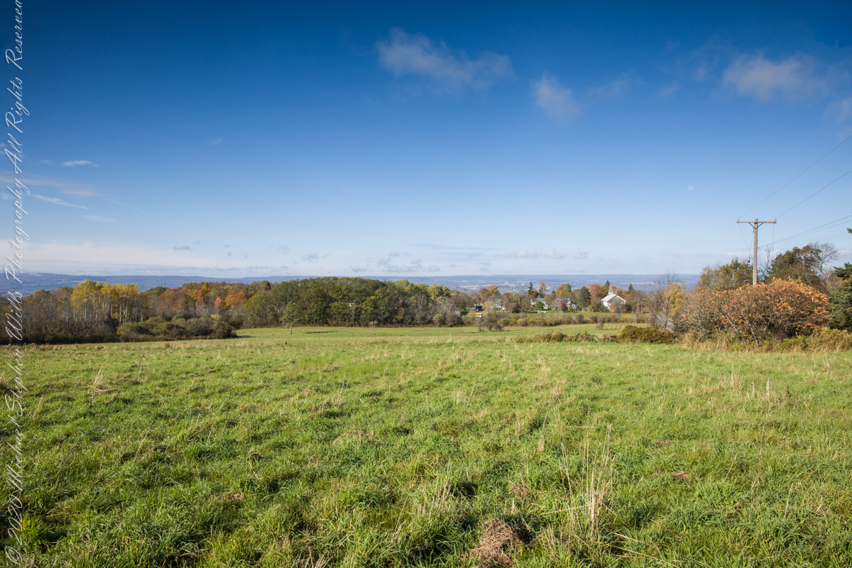
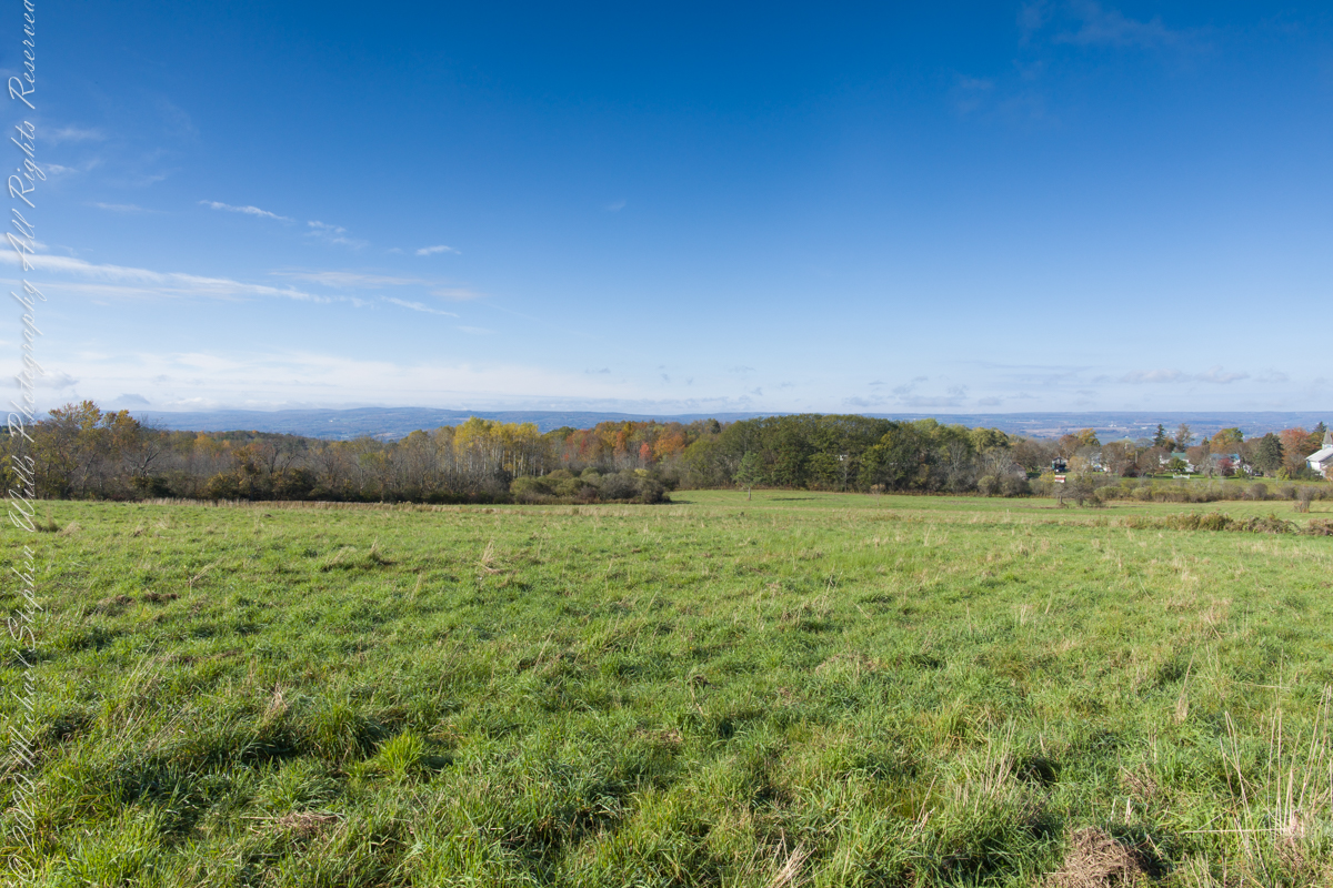
Autumn Ridge
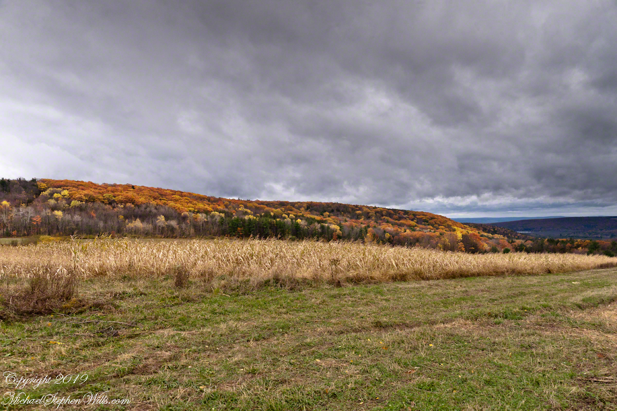
Autumn Ridge
Black Oak Road approaches Connecticut Hill from the north. At this point a long view to west opens up that include Cayuta Lake and the distant highlands of Seneca Lake.
A Long View
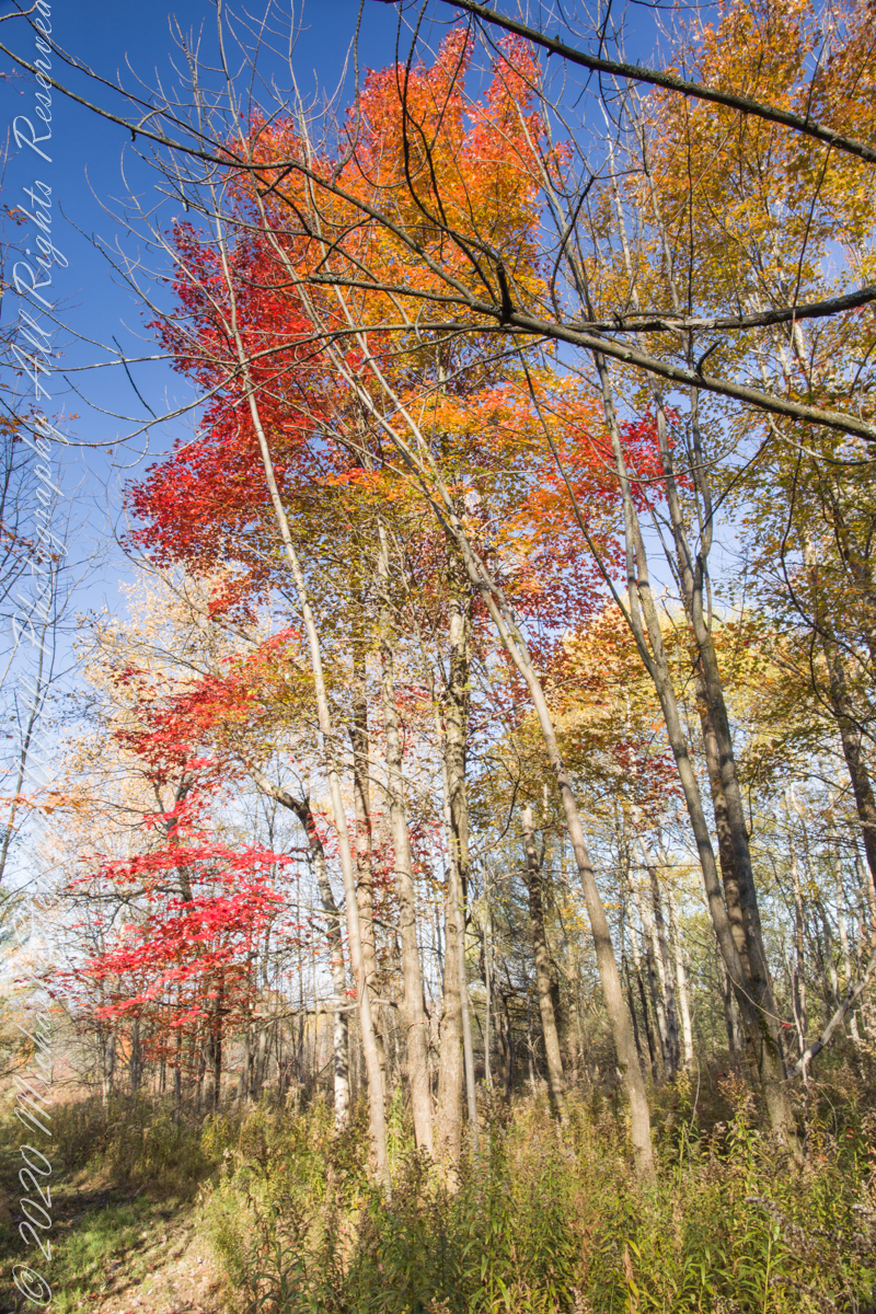
Here we have a vista of Bostwick Road descent off West hill into the Enfield valley and, then, in the distance, up Harvey Hill. Late autumn foliage graces the scene.

A sllideshow
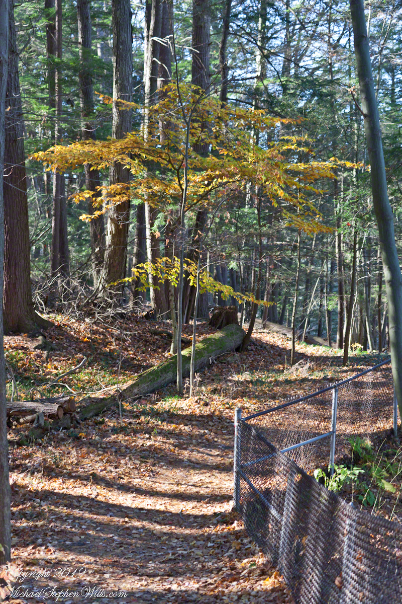
Thank You for exploring the South Rim trail of Taughannock Falls State Park on the last perfectly sunny autumn day of 2019.
A sunny November Walk


Among Hemlocks
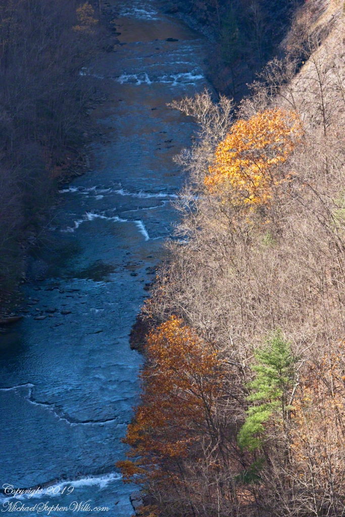
A Rock Elm, late to turn in autumn, stands among a hemlock grove on the South Rim Trail of Taughannock Falls Park, Finger Lakes Region of New York State.
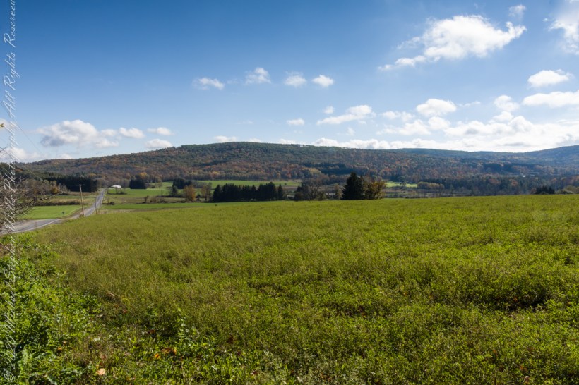
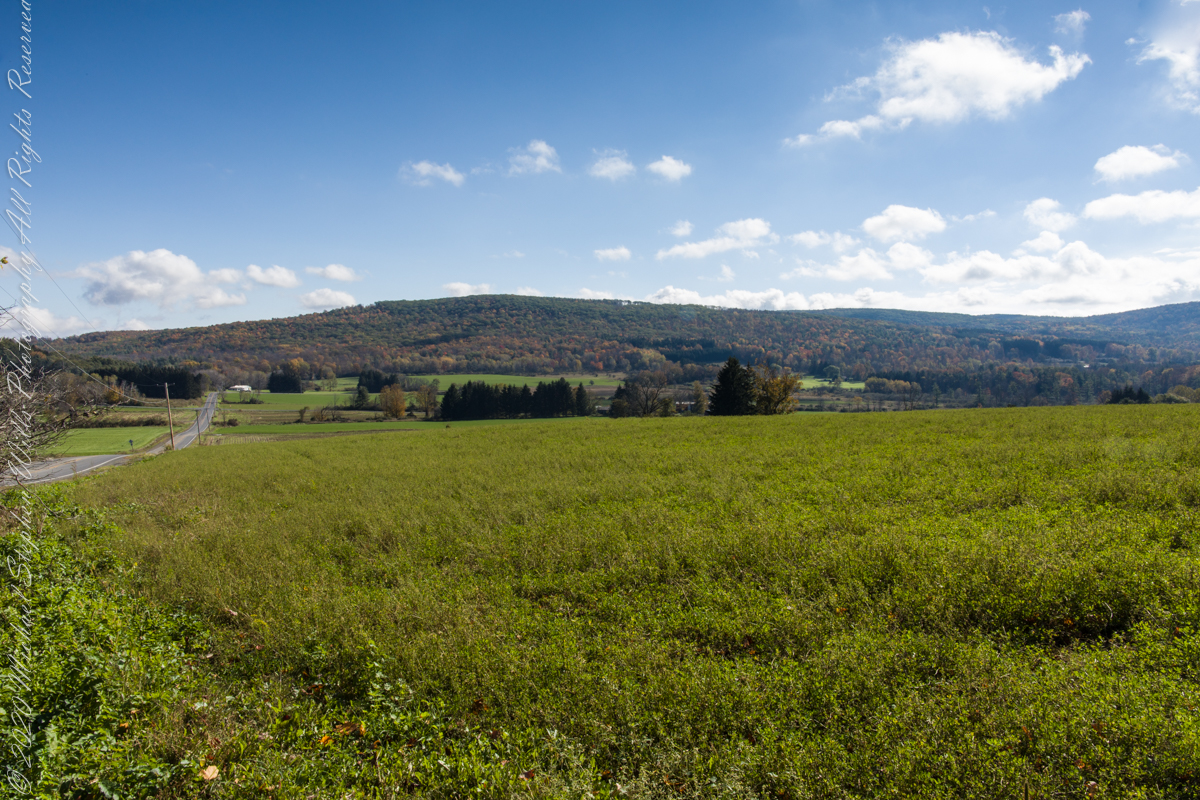
compare portrait vs. landscape orientation.
On our roundabout return from Finger Lakes National Forest we turned off Rt 79 at Mecklenburg onto county route 6 that becomes McIntyre Road in this stretch between two right angle curves. We turned off at the western curve with this fine autumn overlook toward Buck Hill.
Click photograph for a larger view. To do this from WordPress Reader, you need to first click the title of this post to open a new page.
Best Morning View
Mornings are best for the west side of Finger Lakes National Forest ridge facing west over Seneca Lake. Set deep between hills, lake water is not visible, the distant land is the west side of the lake.
An abandoned church converted to Community Center is the distant steeple, marking the hamlet of Logan. I played a bit with the vista, moving forward and across, forgoing temptation to bring the autumn foliage front and center as this was private pasture, was 50 feet in as it was.

on the trail
Perfection on a horse trail of Finger Lakes National Forest, Schuyler County, New York.


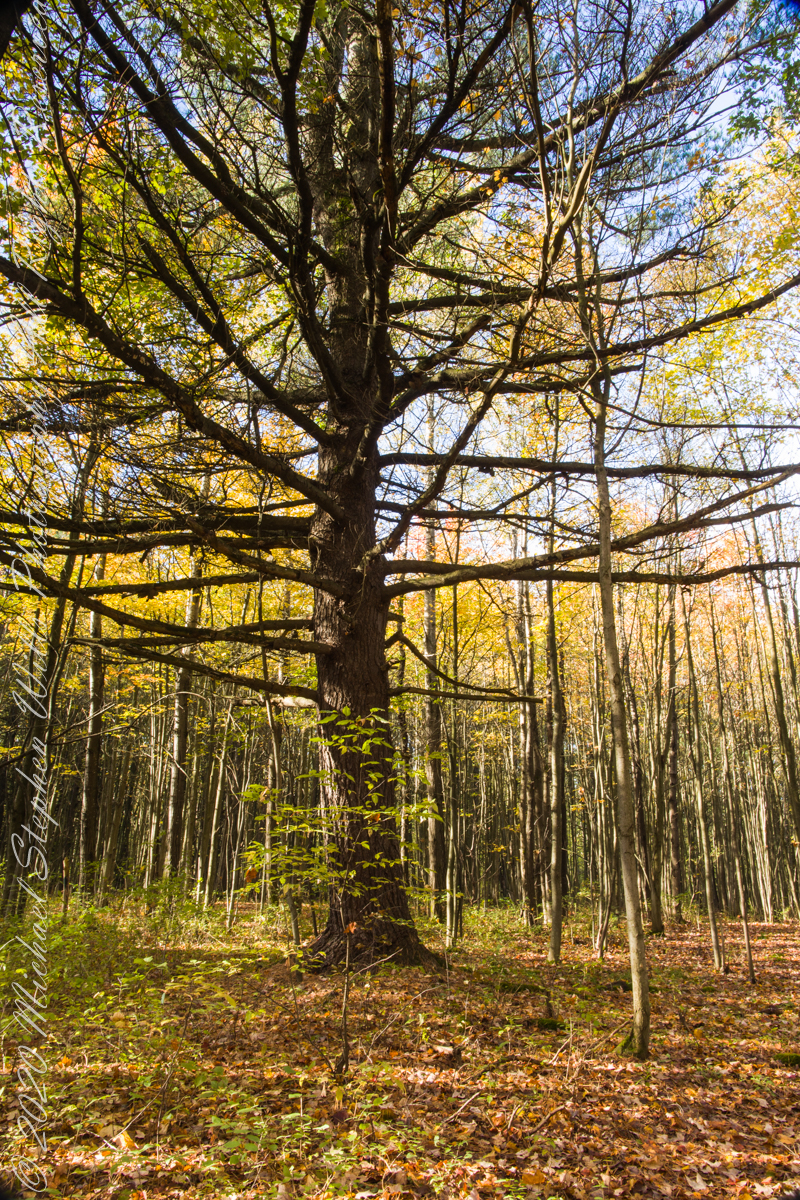
the long watch
The ancient wisdom of trees.
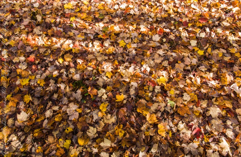
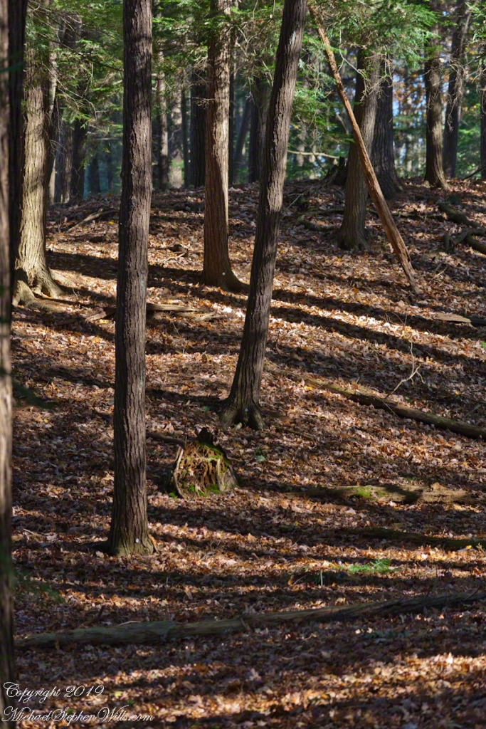
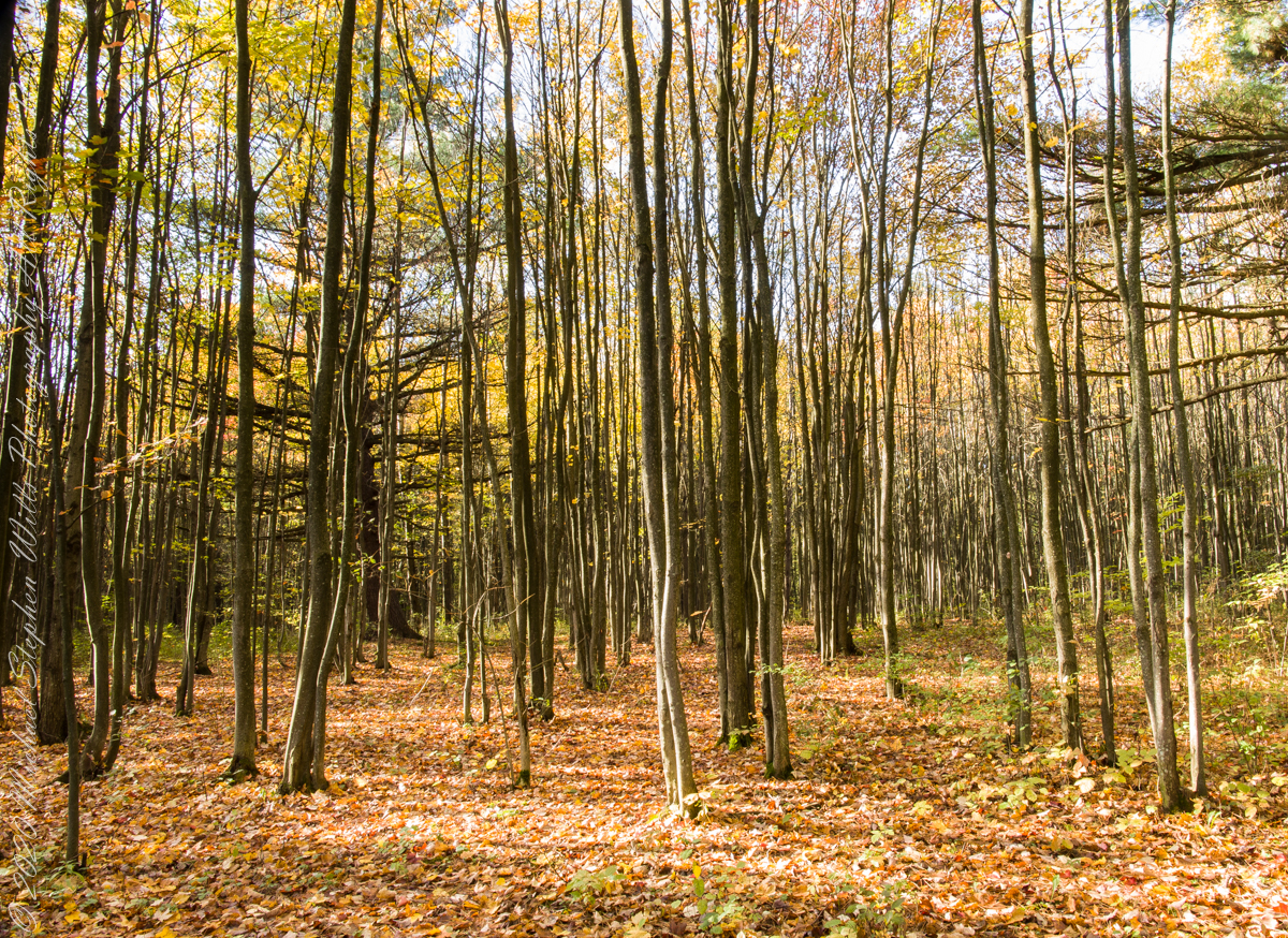
leaf litter eternal
During the series of Part 4 I caught this shot of fallen leaves with alternating bands of sun and shadow from the surrounding young forest.
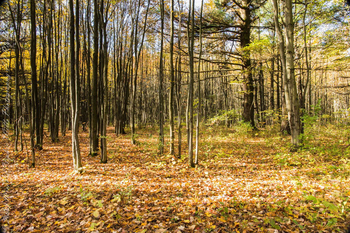
Today, there is a patchwork of private land and National Forest. This line of color marks the forest boundary on the eastern ridge side.

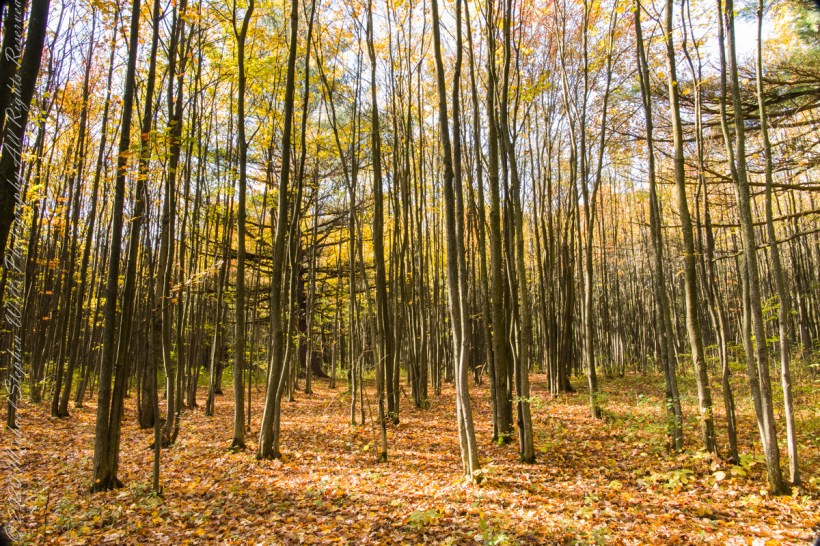
farmland reverted to forest
In the long history of this forested ridge two Iroquois tribes visited this unproductive land for tree nuts and hunting, unproductive in that the soil did not support agriculture. After the Revolutionary War, the British siding Iroquois tribes were driven away and the land given as one mile square blocks to soldiers, in payment for service. Those who settled this ridge cleared the land and farmed as best they could. During the Depression era, many of these farms were abandoned and others sold to the Federal government.
Today, there is a patchwork of private land and National Forest. We stand here just across a border with a private pasture featured in Part 3. This is land returning to forest.
In this series of three exposures I whittled away at edges to achieve the final result in this third.

