Click Me for my Online Gallery
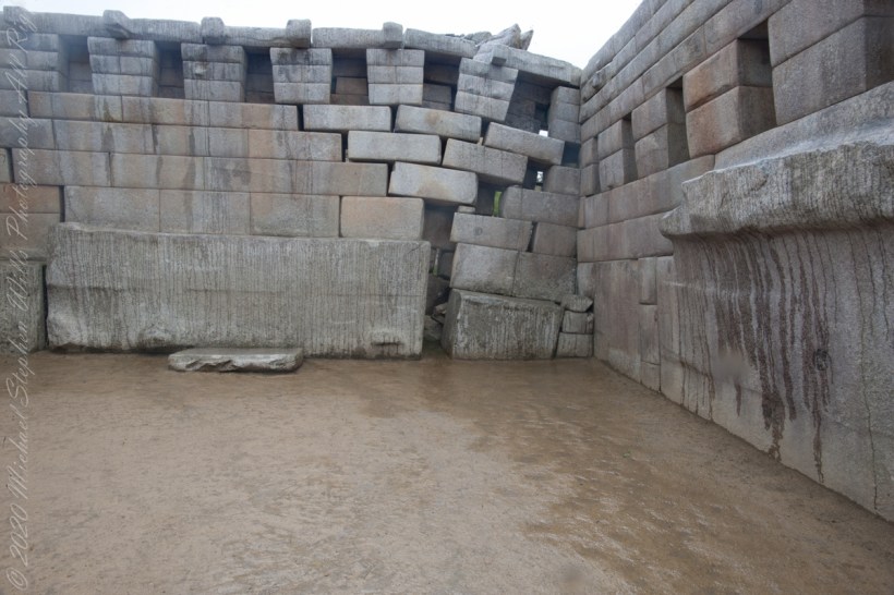
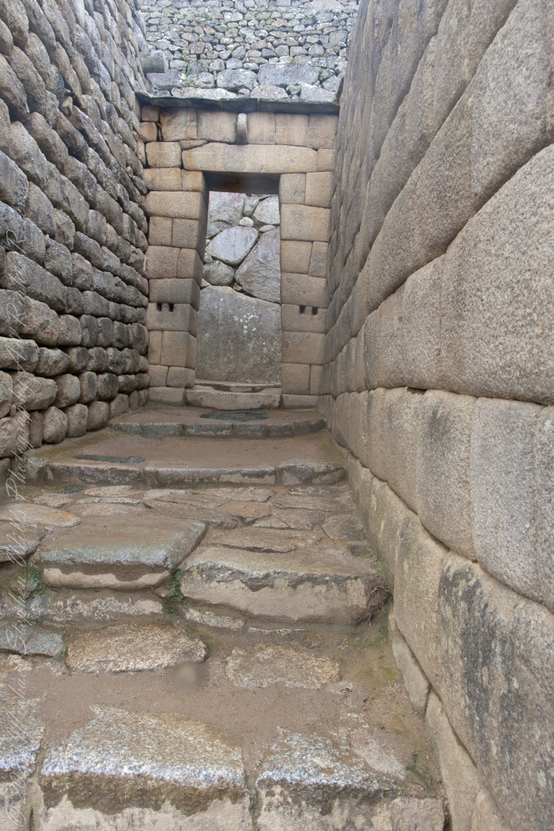
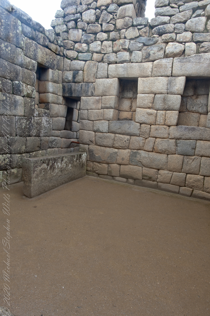
“The Temple of the 3 Windows is one of the most surprising constructions in Machu Picchu. The carving of its walls is perfect. There are several hypotheses as to why they built three huge windows there with incredible views of the mountain range. It is presumed that the purpose was to worship the Inca gods, especially those who guard the tripartite world of the Incas: the heavenly world (Hanan pacha), the earthly world (Kay pacha) and the underworld (Uku pacha).
The temple is an immense trapezoidal wall, 10 meters long and 4 meters wide, built with huge stones carved and assembled to perfection.”
“All three windows are also trapezoidal. On both sides there are two additional closed windows (like niches) where the Incas left ceremonial objects of gold and silver.”

“The temple served a religious function. The white granite stone with which it was built has a different carving from the rest of the constructions at Machu Picchu. The fineness of its walls indicates that it was one of the most important buildings in the citadel.”
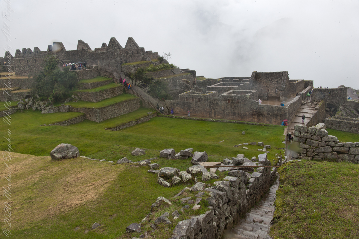
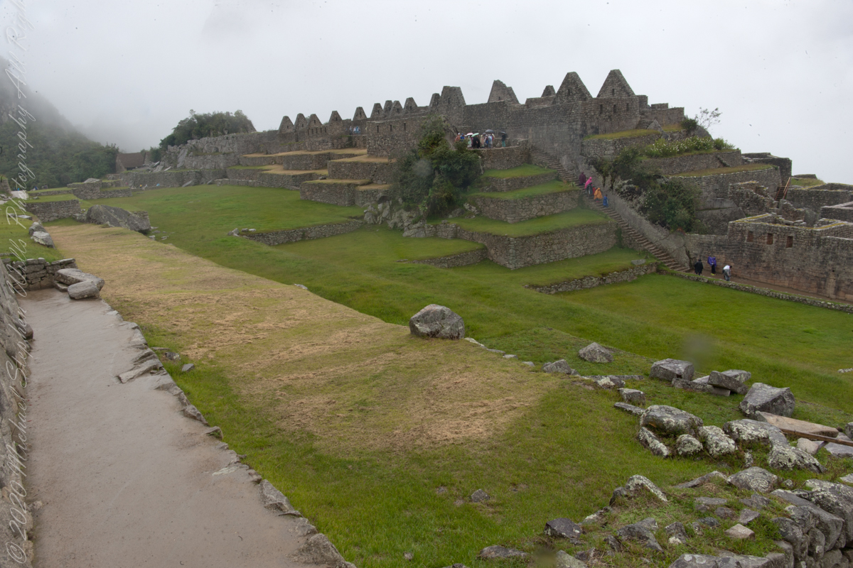
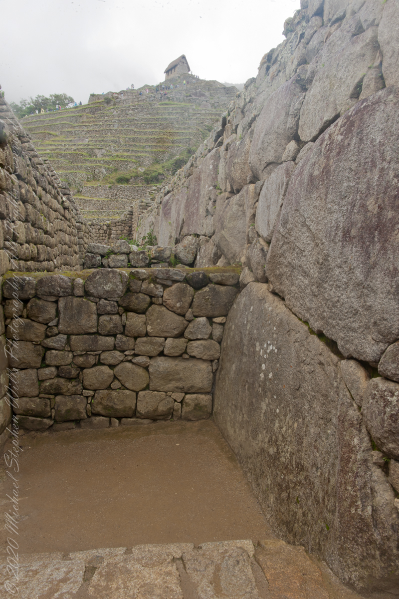
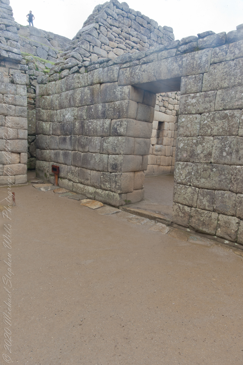
“A few steps from this temple there are other buildings with religious purposes of great importance: the Main Temple, the Temple of the Sun and the Intihuatana.“
“There are many hypotheses about the religious rituals that were performed in the Temple of the 3 Windows. It is believed that the Inca worldview of the world divided into three worlds was worshiped: the heavenly world (Hanan pacha), the earthly world (Kay pacha) and the underworld (Uku pacha).”
“For the Incas, the Hanan pacha was the world of the gods, of the celestial beings (the sun, the moon, the stars). The Kay pacha was the earthly world, of men and animals. Finally, the Uku pacha was the world of the dead, of beings that wait to reincarnate to return to the earthly world.”
“The tripartite world of the Incas was represented by three animals: the condor (kuntur), the puma (puma) and the snake (amaru). The ‘three’ is present in many of the Inca constructions such as the ‘chakana’ (also called the Andean cross) present in the Temple of the Sun in Ollantaytambo.”
Reference: text in italics and quotes paraphrased from the web page “imachupicchu.com.”