My last post, “Frozen Fall Creek I”, ended with macros of Ice Crystals on a bed of frost over creek ice within sight of our former home, a restored water mill. I continued on the ice, following the creek to this spot were the stream bed turns 90 degrees, changing from a southerly to a western flow.
Here I encountered an open course where constant water motion resisted freezing. A few frigid days later, the course had an amazing transformation.
Last To Freeze, Fall Creek
The transparent ice of the now frozen space retained the impression of movement, the surface rippled by current. In the following photograph, motionless ice crystals reveal the truth.
Ice Crystals on Water Frozen while Supercooled
In the intervening days, the constant motion resisted freezing while the water temperature dropped well past freezing to achieve a supercooled state. As the water temperature continued to drop, a fast transition from fluid to solid happened so quickly the movement of the water surface was preserved.
Ice Crystals on Water Frozen while Supercooled
Here is the matching “after” photograph to the “before” that started this post.
Channel of Water Frozen while Supercooled
Copyright 2023 All Rights Reserved Michael Stephen Wills
In November 2004, a visit to Canyon de Chelly with guide Hadley Tsosie revealed ancient petroglyphs and ruins, highlighting Navajo culture and the canyon’s unique beauty.
On November 3, 2004 my son, Sean, and I made our way to Chinle, Arizona on the Navajo Reservation at the mouth of Canyon de Chelly.
The next day, driving a rented 4 wheel drive, we arrived at the visitor center, at dawn, and there met Hadley Tsosie who worked as a guide. This is how you do it, if learning about the Canyon is your goal. It is possible to walk, unaccompanied, into the canyon to view the “White House” and this I highly recommend. Tourists can also drive around the rim to various overlooks. This is what most people do.
The canyon is still farmed and the tribe only allows visitors when accompanied by a guide. Only Diné (Navajo) are certified as guides. They know the rights of way and the preferences of the landowners.
We negotiated with Hadley to take us for half a day for our interest in petroglyphs and ruins. It is important to start early when the sun is low in the sky, when directly overhead the details of ruins and petroglyphs are washed out by the light. Catching the late afternoon/evening sun is also an approach that requires detailed knowledge of the route, taking into account the time of year.
Hadley was an excellent choice, though he was our only option on that day. He was fluent in Navajo beliefs, the lore of the canyon and generous in sharing what he knew.
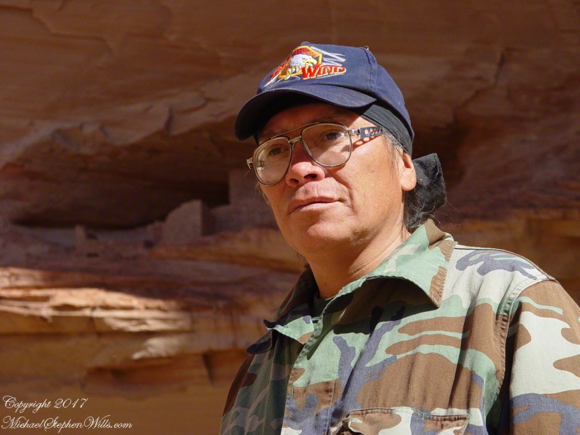
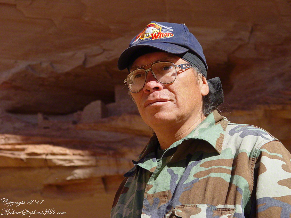
Here is Hadley, approximately 6.2 miles into the canyon with the “Ledge Ruin” behind. We arrived at the junction just in time, before the sun was high enough to wash out the ruin. It is slow going into the canyon what with the deep sand and water that must be negotiated. Hadley did the driving and was expert. We passed other parties bogged down in the wet sand. I do not believe it was luck that kept us moving . We stopped many times to talk and admire the petroglyphs and pictographs.
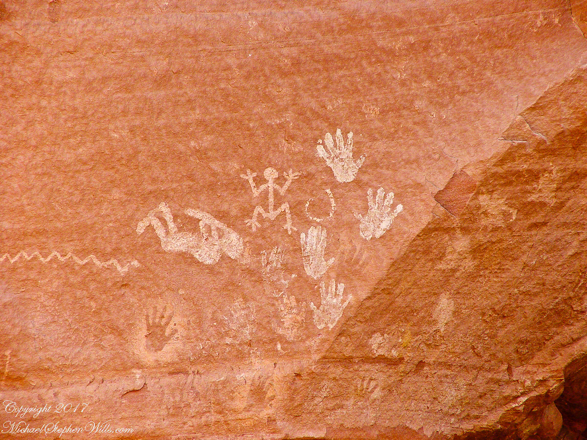
Petroglyphs are symbols incised, or cut, into the surface (the name means petro, “rock”, glyph, “symbol”). In the desert climate of the southwestern USA a thin, dark pigment forms on rock surfaces of overhanging cliffs. The pigment forms from infrequent precipitation, in the form of water, flowing downward over the surface or even dew. The high heat of the desert drives a chemical reaction between water, clays, iron and manganese oxide to form a coating on the rock surface. The dark coating, called “desert varnish”, contrasts with the underlying rock. When it is scraped away a line forms. Many of the petroglyphs were of this form. Others were carved into the rock itself, more time consuming and durable. No one knows when the petroglyphs were made, they were always there are respected. People have inhabited Canyon de Chelly for over a thousand years. The word pictograph has a different meaning when used to describe prehistoric art. The earliest writing were symbols incised in wet clay, then allowed to harden. The pictographs we viewed was prehistoric art, mostly white pigment on the red rock, outlines of hands. There were also kokopelli, the outline of a flute player and jagged lines, symbolizing, Peter told us, lightening.
In November the cottonwoods were in fall foliage, a brilliant yellow under a cloudless sky. The sun is lower in the south and rises later. The Navajo Reservation follows daylight savings time, unlike Arizona. This November morning the sun rose around 7:45 am, so if you are not an early riser this time of year is an excellent choice for a Canyon de Chelly tour.
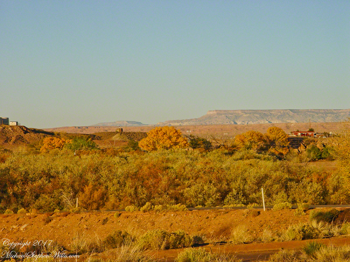
Looking southwest from the Canyon de Chelly visitor center toward the eastern escarpment of Black Mesa of the Hopis.
The village of Chinle is a “census designate place”, in other words it only exists because people live there, it was not formally recorded in “official” records. On the Navajo reservation, people lived here beyond recorded time. It is called in their language “flowing out”, where live giving water flows out from the canyons.
There is a fine Best Western in Chinle, better than most of that brand and the only choice for mile and miles and miles.
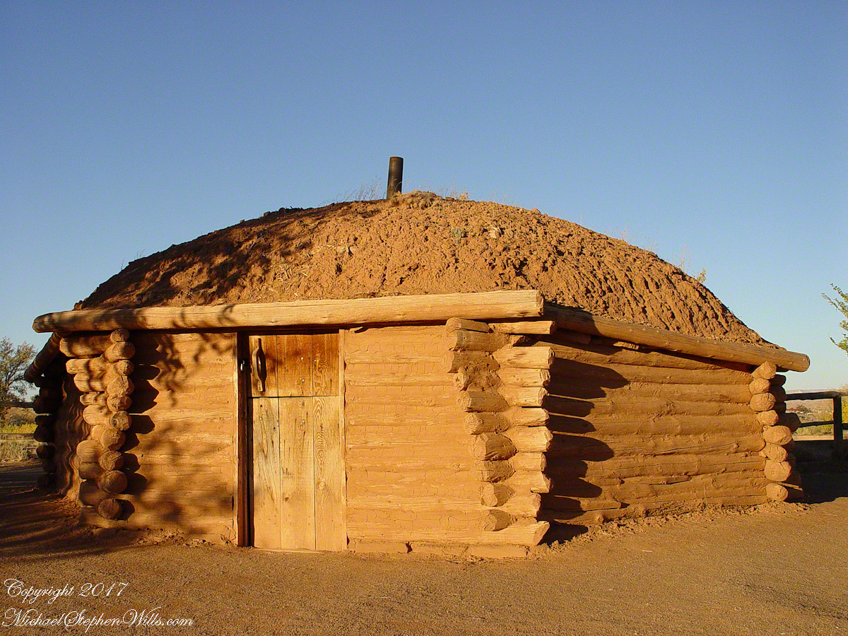
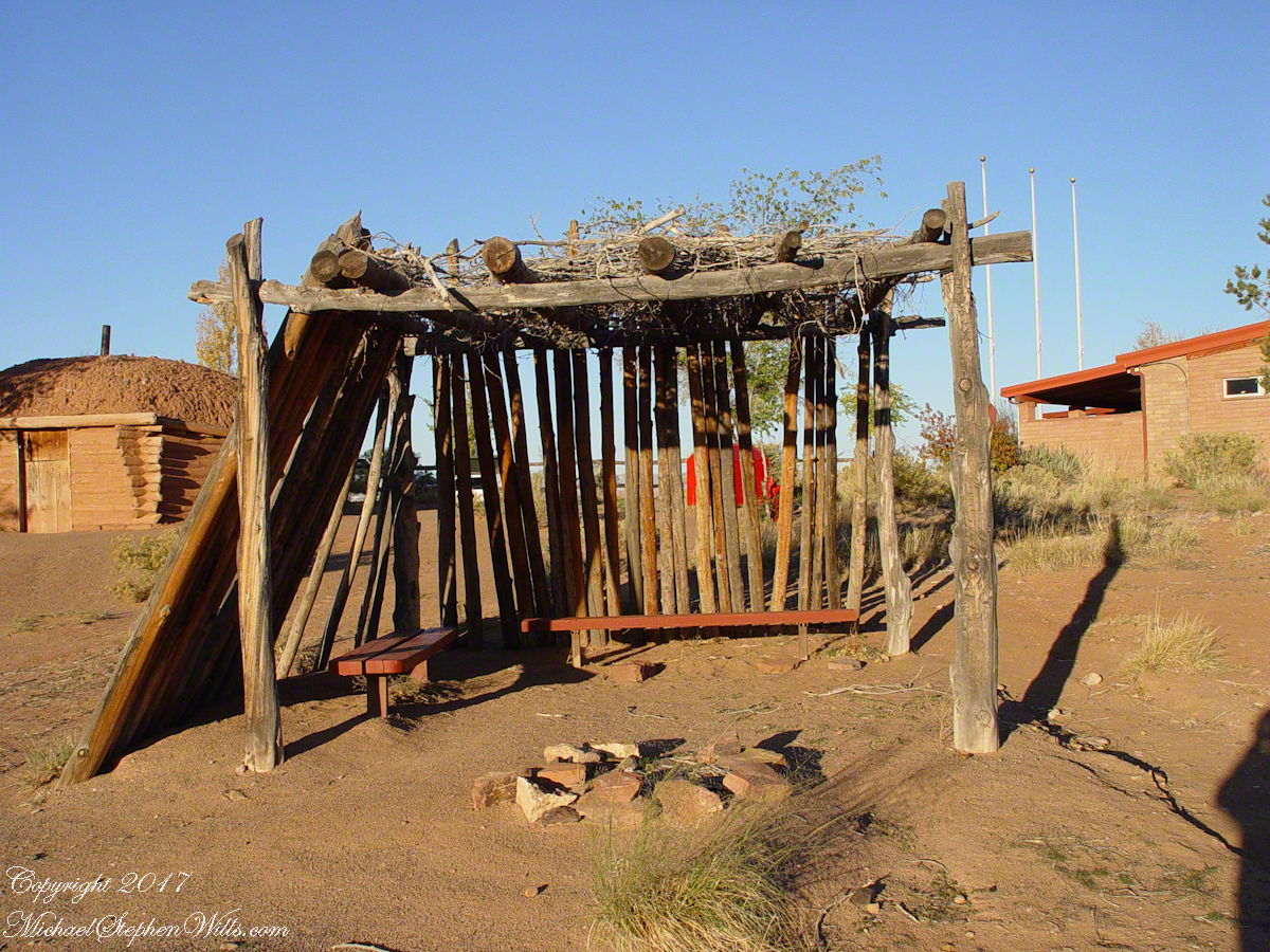
This is a cribbed log hogan. The domed earthen roof keeps the interior cool in hot weather and, along with a fire, warm in the winter. The Navajo hogan entrance faces east.
In Junction Ruin Musings, the previous post, a ruin from the Anasazi people was contemplated. Above is a traditional Navajo dwelling from a later, more secure, time.
A good place to cook, read and sleep in hot weather. The entrance faces east and, for this one, the view was superb.
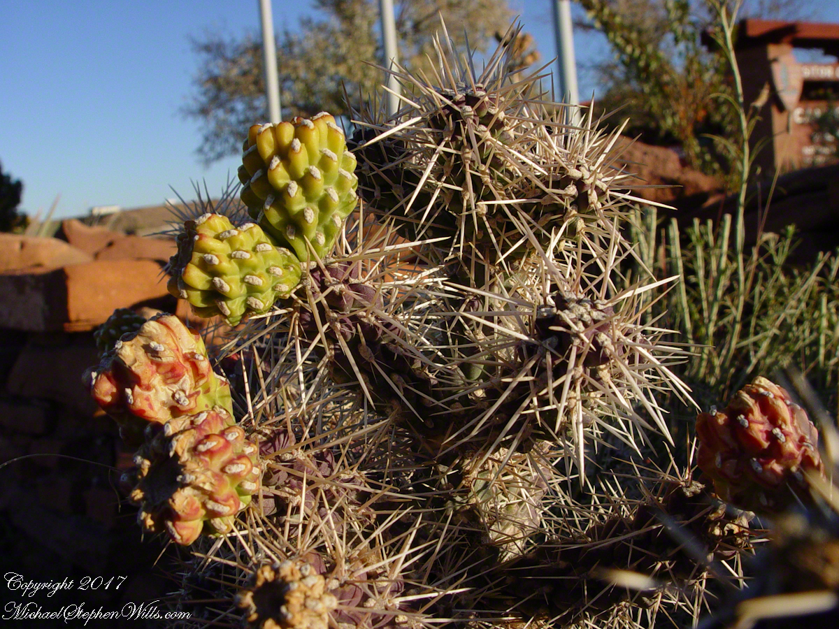
Ouch!! Everywhere in the southwest, watch where you tread.
A Native American, seeing the flute playing Kokopelli, hears in the mind the sonorous melodies of their native flutes carried in as if on the wind. The hands waving in rhythm, “Here we are.”
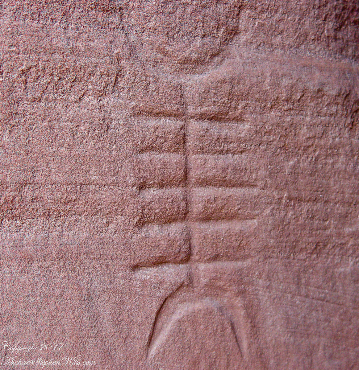
Canyon de Chelly symbol carved into red sandstone cliff representing a clan sign.
I recall our guide, Peter, describes this as a scorpion.
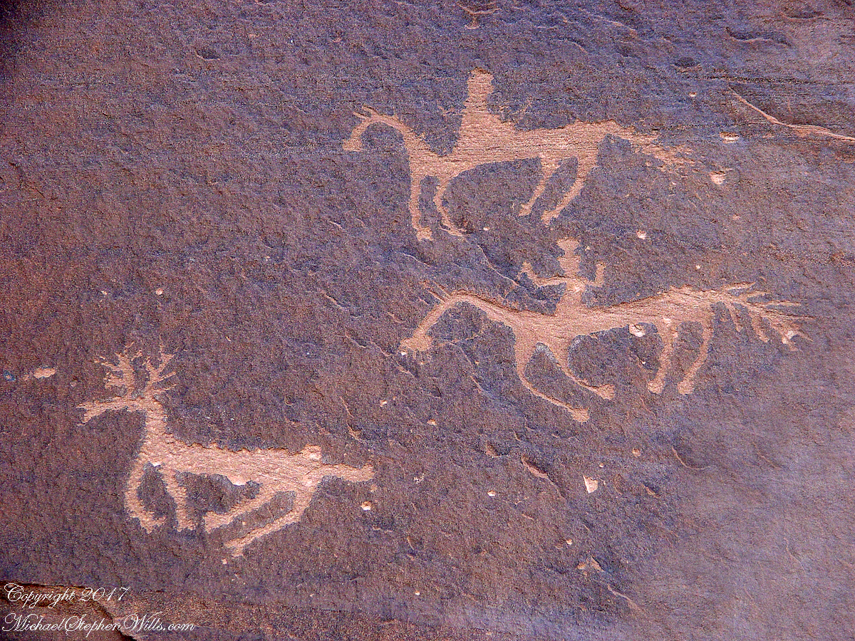
Canyon de Chelly petroglyph, desert varnish over red sandstone. Image is dated by representation of horses, brought by europeans.
The feeling of movement and the story invoked viewing this drawing etched carefully on the rock demonstrates we are in the presence of an accomplished artist. The story of the times for us to learn from.
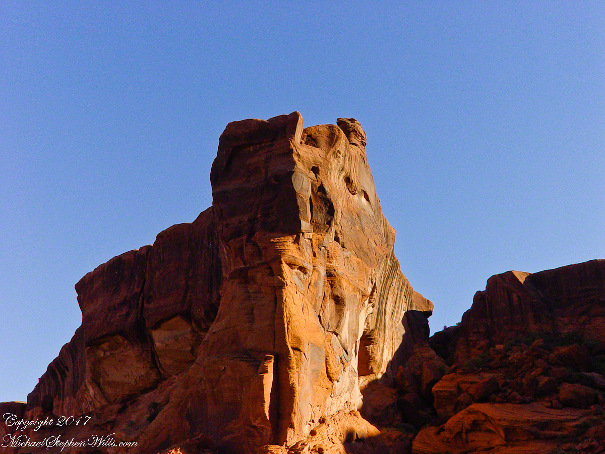
Red sandstone formation on ridgeline, north side of Canyon de Chelly is remember by the Navajo for the story of the Raven Woman.
A Navajo woman, fleeing Apache captors, flew over this cliff, or seemed to. Survival depended on knowing how to run over slickrock without stumbling and to know where and how to disappear into the rocks.
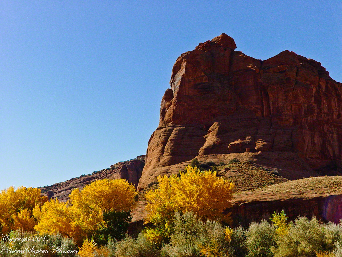
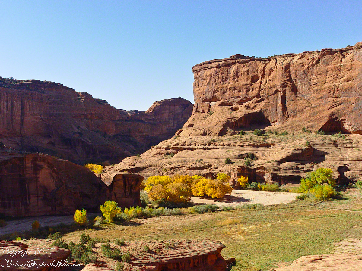
Canyon de Chelly below the first division into tow arms, the junction. This is looking south east. The cottonwoods are in autumn foliage.
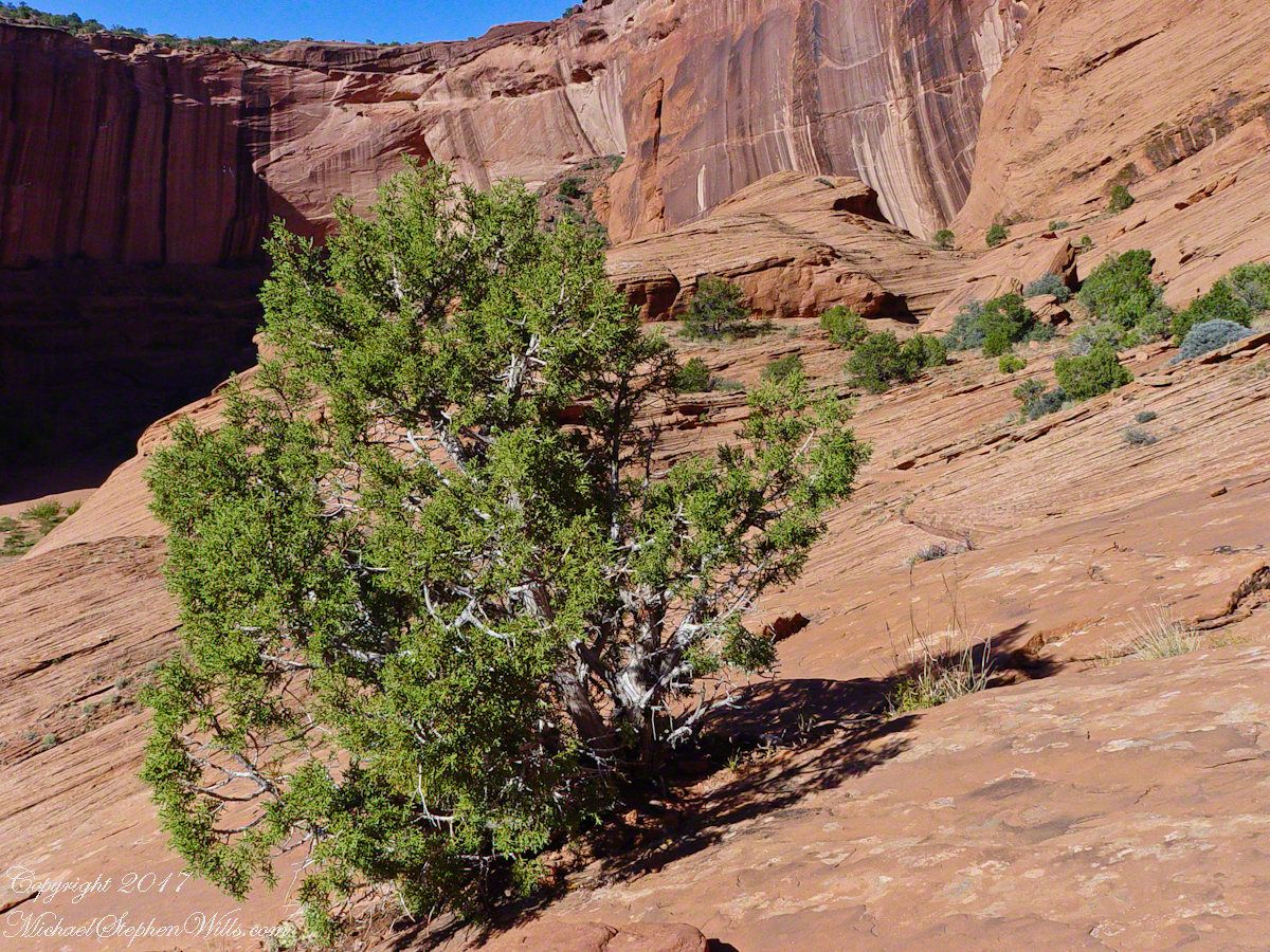
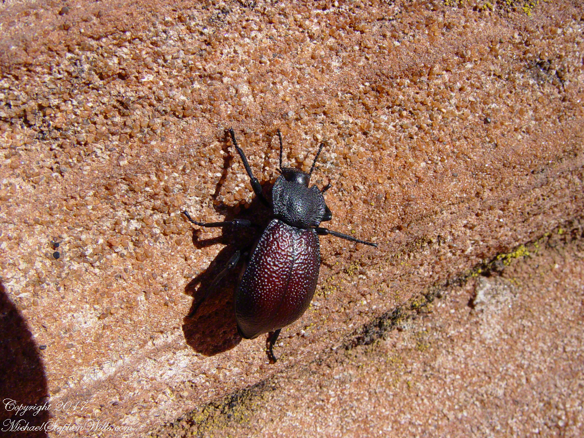
Cahyon de Chelly is is possible here to climb out of the canyon over these lower slopes over what is called slickrock. In the foreground is a juniper tree.Canyon de Chelly vista from a slickrock ledgeA two inch dung beetle crawls up sandstone slickrock, the origin of this stone apparent from the visible sand granules within an apparent clay matrix. The stone grain, described as cross bedded, suggests this was a former dune of wind blown sand composed of remnants of the Ancestral Rock Mountains.
The tenth and final of a series of idiosyncratic posts from a walking tour of Kinsale by Dermot Ryan. My Sony Alpha 700 captured the events back in May 2014.
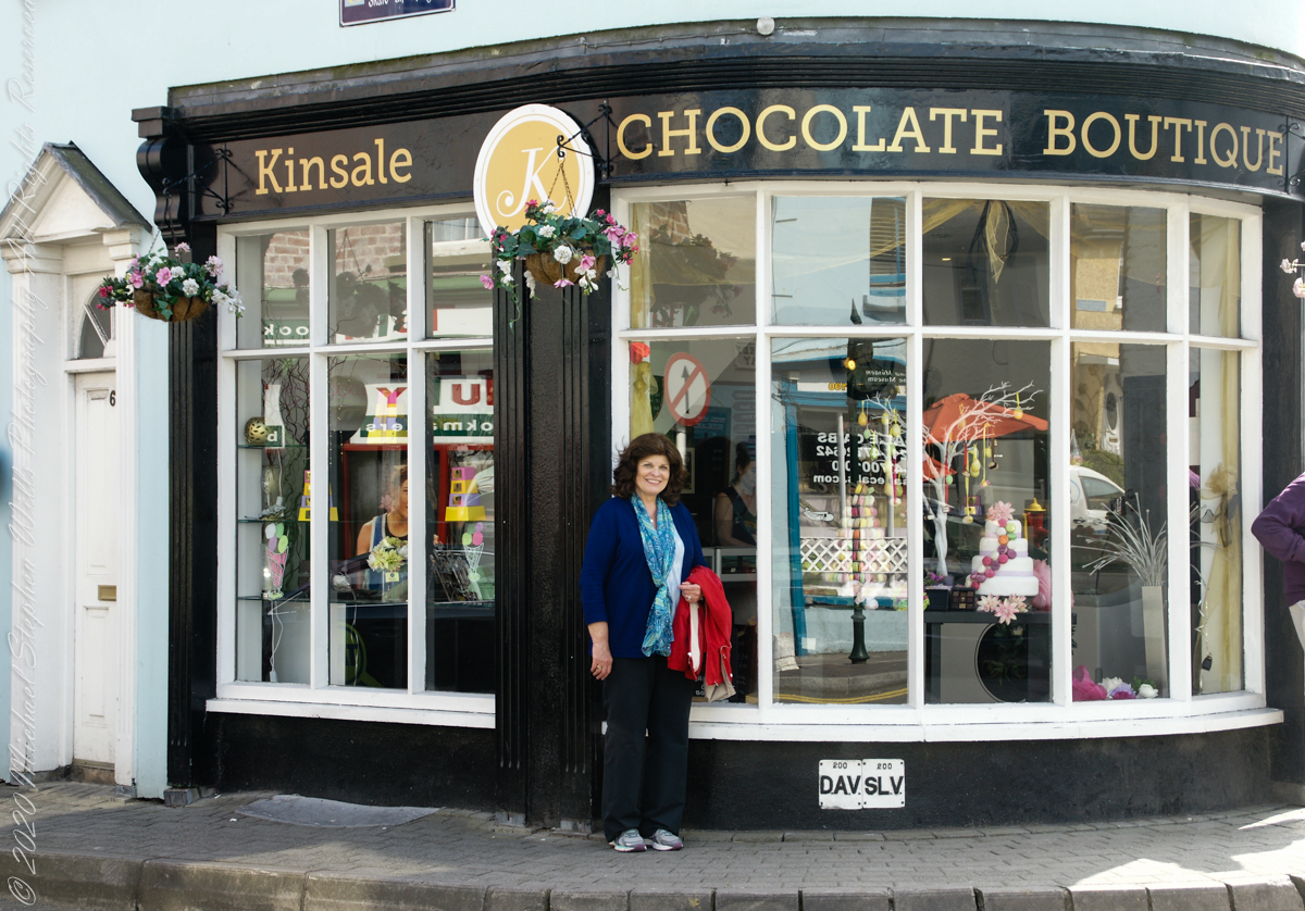
We are headed toward lunch along the River Bannon. The Kinsale Chocolate Boutique, Exchange Buildings, 6 Market Square, did not survive the pandemic. This iconic corner is now the First South Credit Union (sigh).
SONY DSC
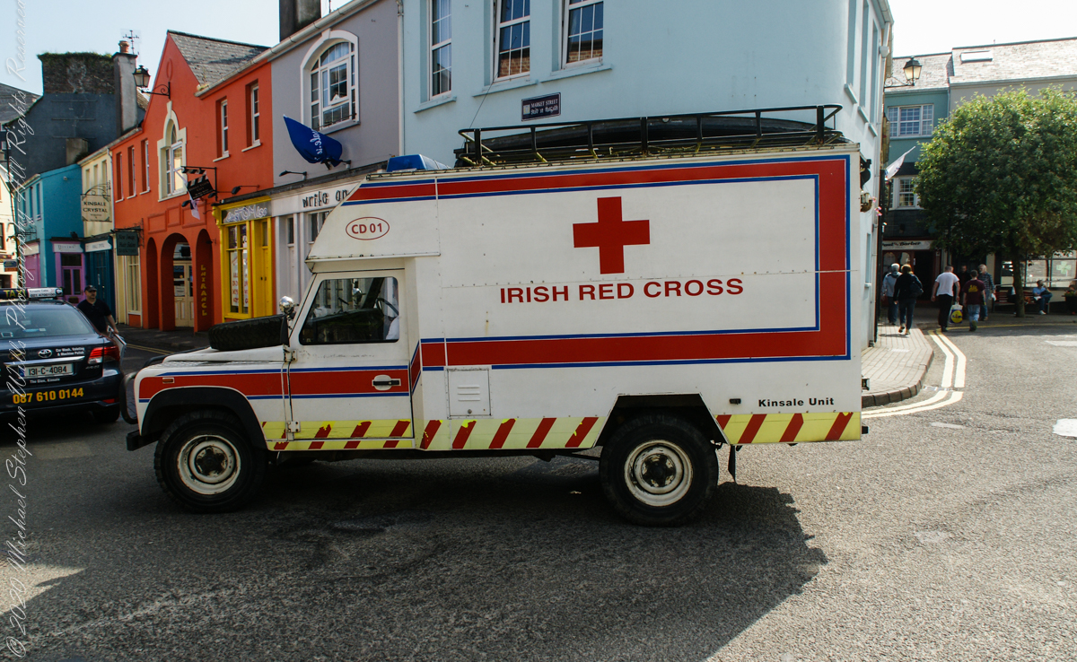
With headquarters in Dublin, the Irish Red Cross provides in Ireland (click the links to learn more):
Come out of the center town to walk along Pier Road, River Bannon on its way to the harbor, on one side, town parks on the other.
Taking a walk along the river Bannon and Pier Road, Kinsale Town, County Cork, Ireland
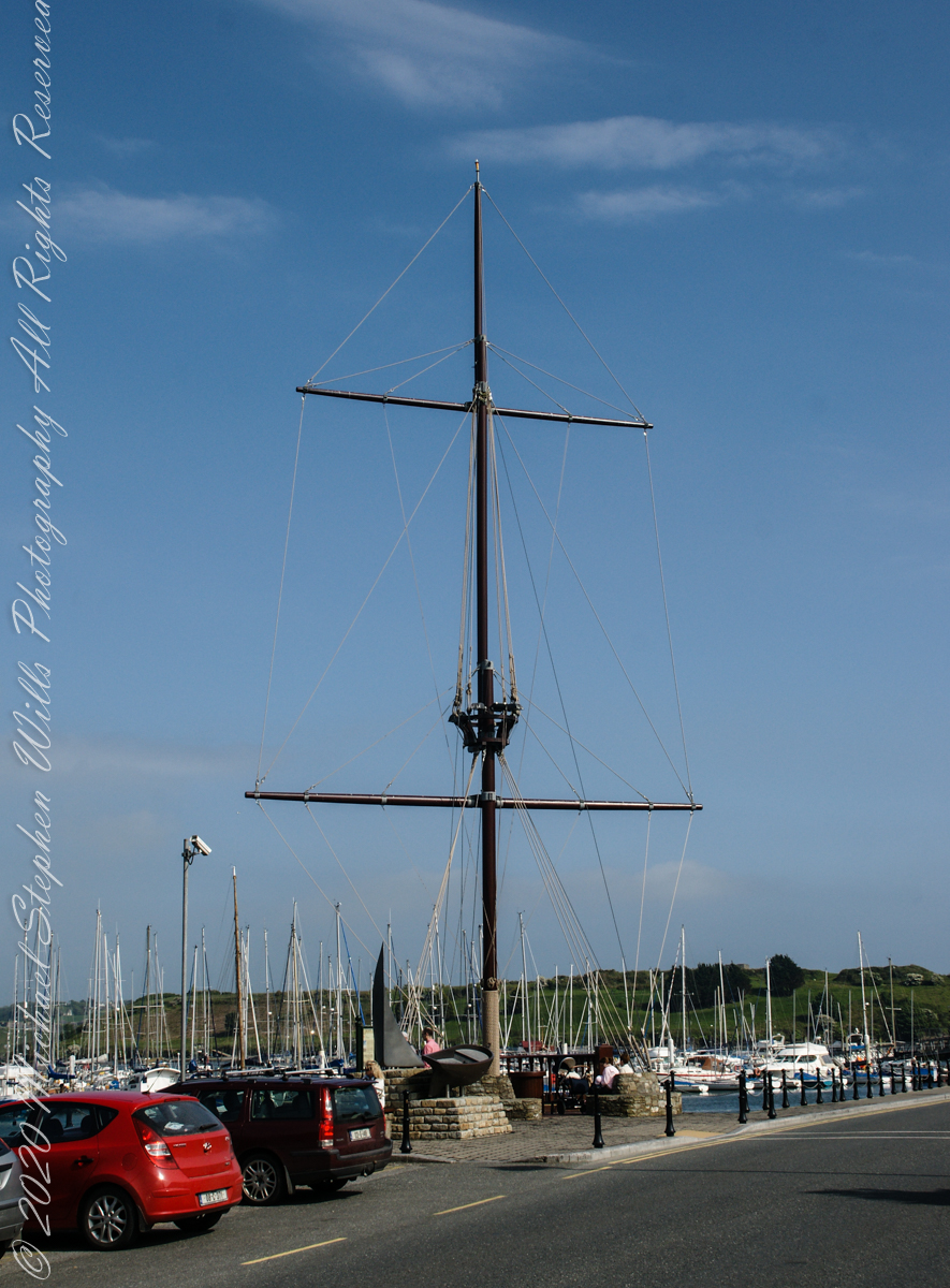
Across from Kinsale Town Park rises this Tall Ship mast and other memorabilia from Kinsale’s maritime heritage.
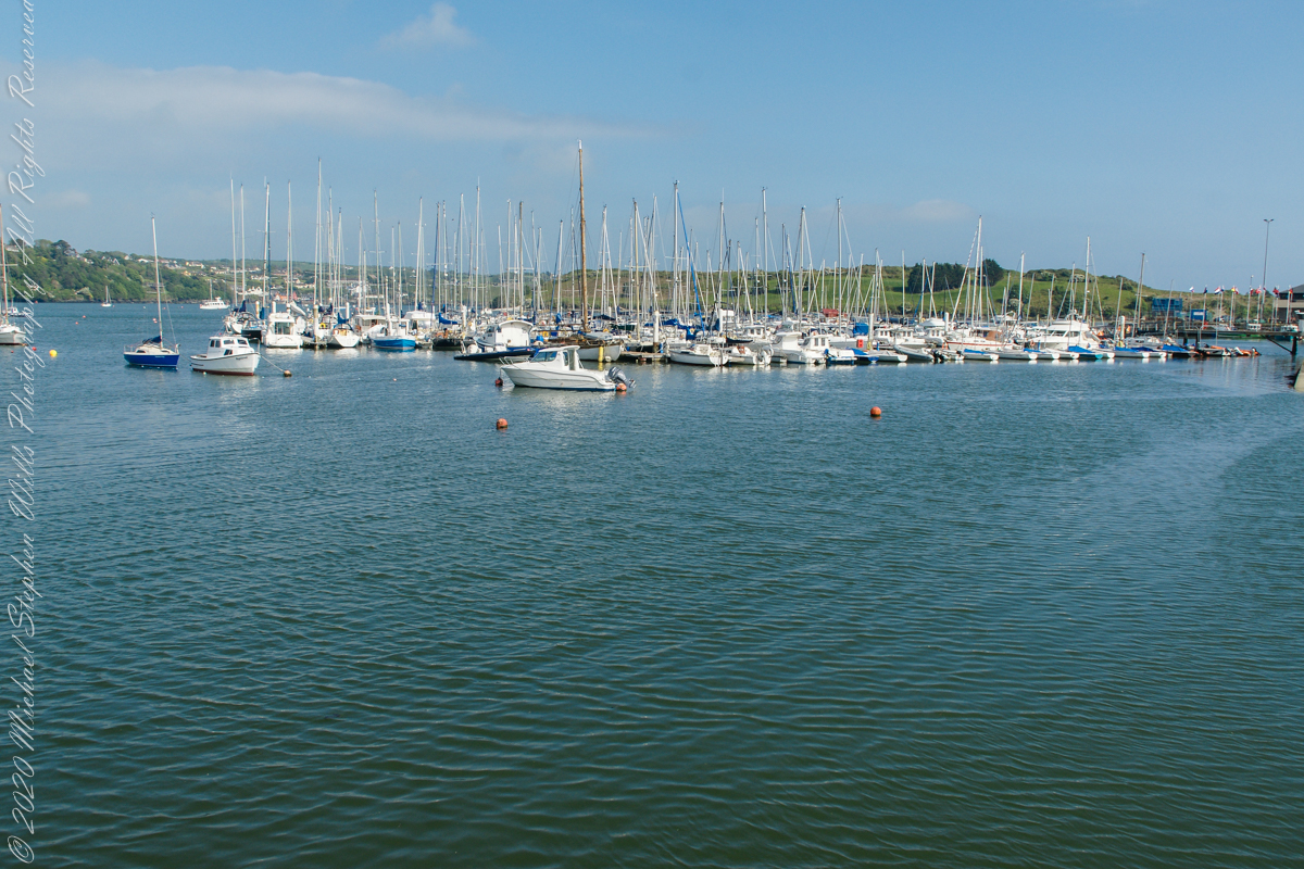
A few hundred feet away are moorings for the Kinsale Yacht club, ” located in Kinsale, County Cork lies just 120 nautical miles from Wales, 240 from North West France and only 500 from the Galician Coast of North Spain. Most significantly it is only 30 km by road from Cork, Ireland’s second city, and between the two lies one the region’s main assets – Cork International Airport – with its daily links to many European capitals. Keelboats and Dinghies. The club runs inshore and offshore races, has active cruising and powerboat sections and most significantly for any real club, a strong and dynamic junior training program. Kinsale Yacht Club and marina are only a few minutes walk from every shop, hotel, pub and restaurant in Ireland’s gourmet capital.” — from the Yacht Club web site.
Moorings for pleasure craft on the River Bannon, off Pier Road (R100), the town of Kinsale, County Cork, Republic of Ireland
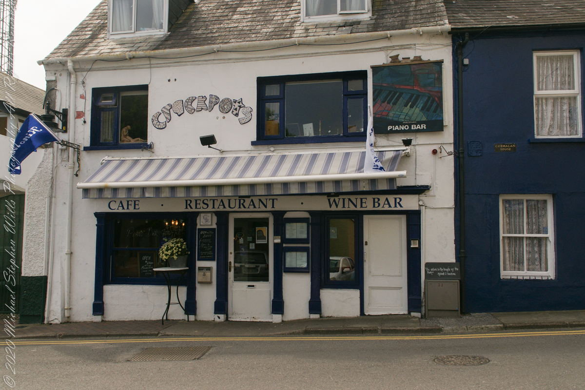
Look closely to see this quote “The Onion is the truffle of the poor.” –Robert J. Courtine. Crackpots was decorated with unusual pottery, a casualty of Covid-19.
“The Onion is the truffle of the poor.” –Robert J. Courtine Crackpots is closed post Covid-19, Kinsale, County Cork, ireland
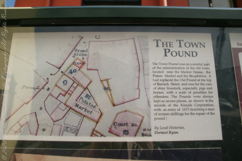
From a placard inside the stone walled “Town Pound.” “The Town Pound was an essential part of the administration of the old town, located near the Market House, the Potato Market and the Broadstone. It had replaced the Old Pound at the top of Barrack Street and was for the care of stray livestock, especially pigs and horses, with a scale of penalties for offenders. The Pounds were always kept as secure places, as shown in the records of the Kinsale Corporation, with an entry of 1673 itemizing a sum of sixteen shillings for the repair of the pound!” By Local Historian, Dermot Ryan.
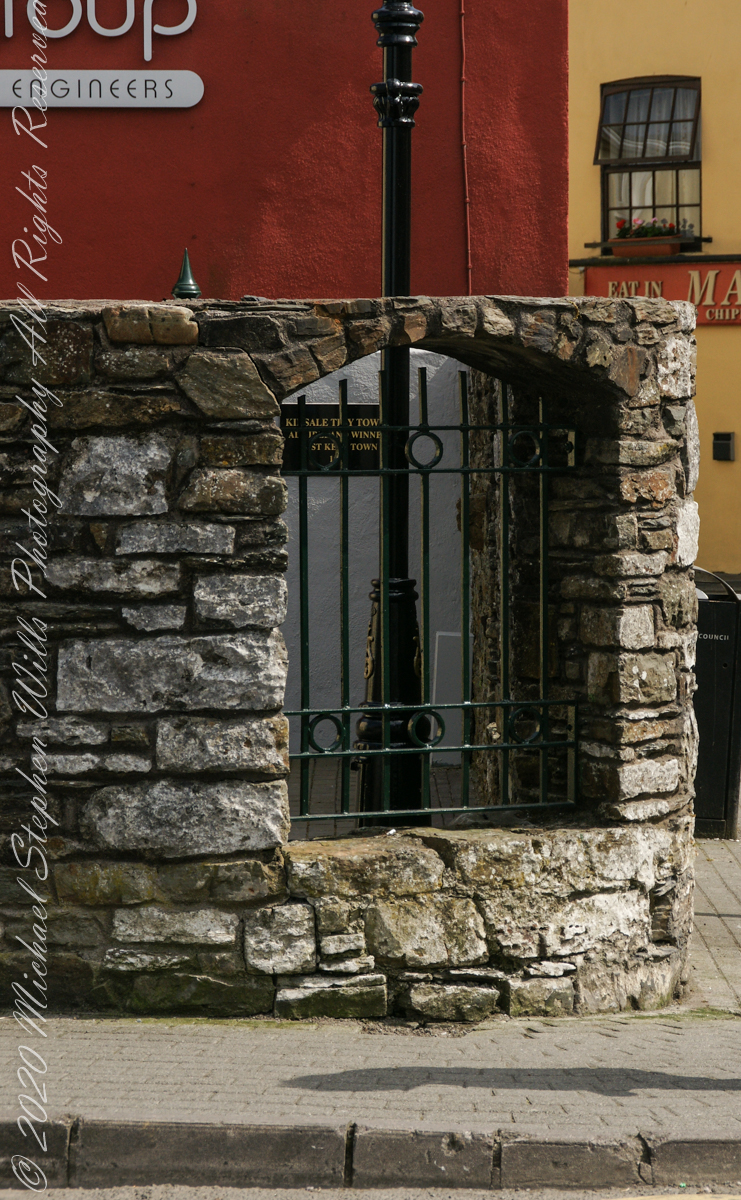
Outer wall of “the Town Pound” historical site. Corner of Marketplace and Guardwell, Kinsale, County Cork Ireland
The Tan Tavern is on the other side of Guardwell street, seen here over the stone wall of “The Old Town Pound” historical site.
The Tan Tavern is on the other side of Guardwell street, seen here over the stone wall of “The Old Town Pound” historical site. Corner of Market Place and Guardwell. Kinsale, County Cork, Ireland.
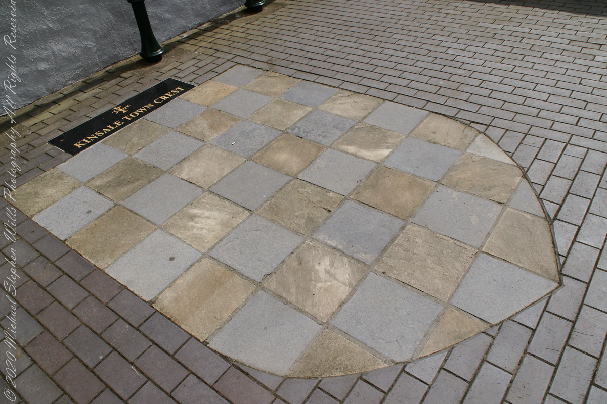
“Kinsale Town Crest
Within walls of the historical site, “The Town Pound.”. Kinsale, County Cork, Republic of Ireland
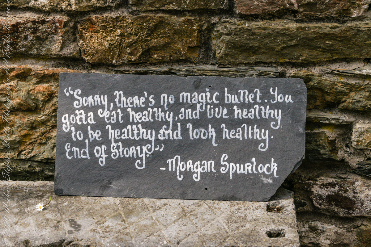
I don’t recall where exactly this quote was placed. It is associated in time with the Town Pound (photo time stamps). Morgan Spurlock of the documentary “Supersize Me” is an American of Irish descent.
Morgan Spurlock of “Supersize Me”, an American of Irish descent.
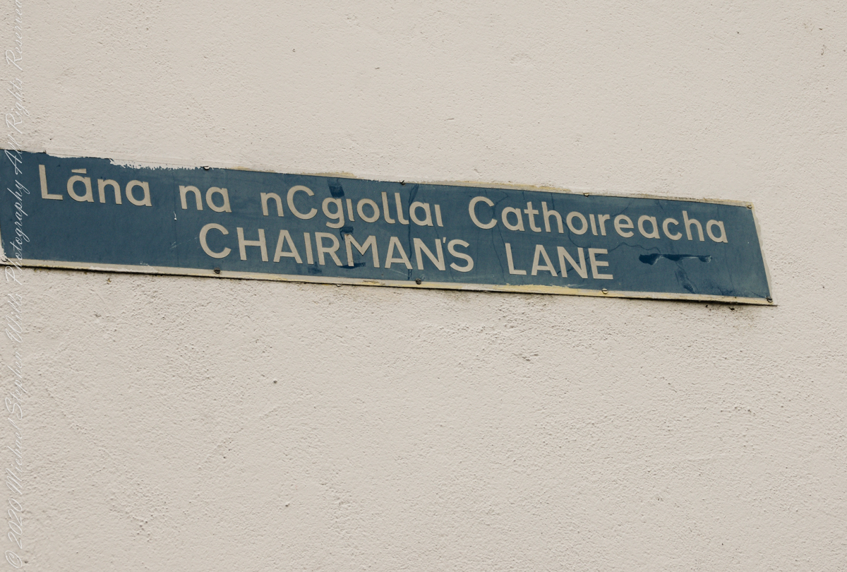
Ducking into an alleyway with the haughty name, “Chairmans’ Way,” we stepped into a different world.
An allyway of Kinsale, County Cork, Ireland
Promising a castle, it delivered these charming offerings.
“Desmond’s Castle” is a tourist attraction, a historic “castle” and wine museum at the corner of Chairman’s Lane and Cork Street, Kinsale, County Cork, Ireland
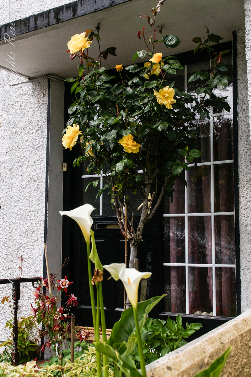
This doorway, yellow roses (Pam’s favorite) and Calla Lilies.
Around Chairman’s Lane and Cork Street, Kinsale, County Cork, Ireland
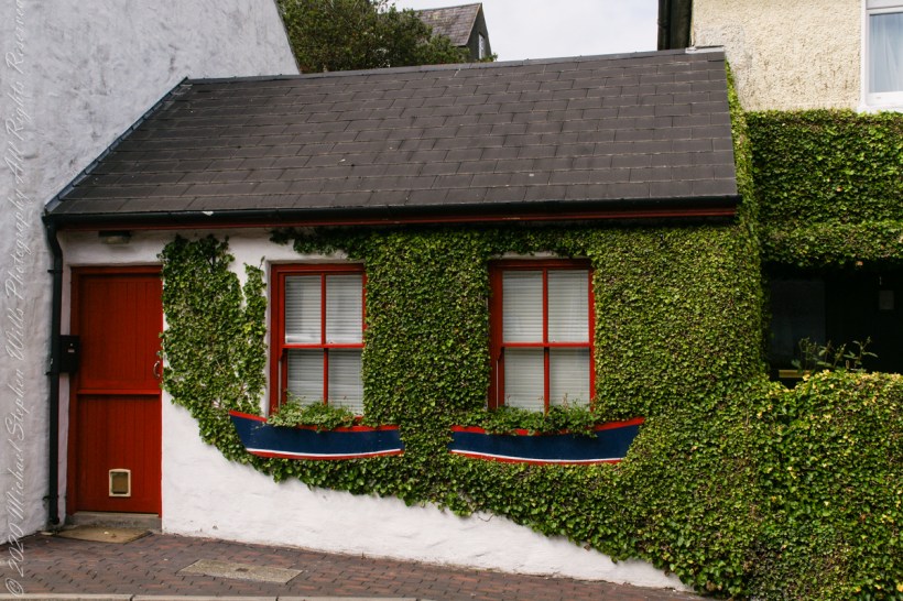
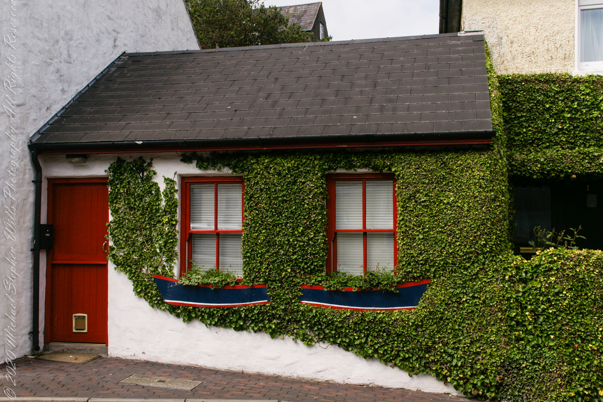
An ivy clad nook / cottage.
Around Chairman’s Lane and Cork Street, Kinsale, County Cork, Ireland
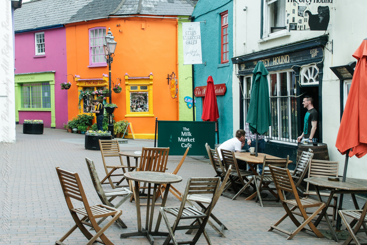
So much to see around Newman’s Mall, coming upon “Stone Mad.” Possibly a reference to The Maiden Stone of Scotland. Maiden Stone and Persephone, 8th century AD, and 1961, Shaun Crampton. The salmon-pink granite monolith known as the Maiden Stone was erected by the Picts in the eighth century AD at the time when Christianity was filtering into the north-east. It bears, Janus-like, a series of vivid symbols, carved in relief, and, on the other face, a round-headed cross, set between a possible cavalry scene and a great roundel filled with interlace. The symbols, which are vigorously carved in relief and include a beast or dolphin, mirror and comb, look back to the powerful range of animal and object symbols used as a kind of heraldry on memorial stones in the two previous centuries. The cross side indicates its use as a preaching site during the conversion of the Picts. The notch out of the northern edge of the stone has fed a legend concerning the daughter of the laird of Balquhain who was baking bannocks on her wedding day and bet a stranger that she could finish her task before he had built a road to the top of Bennachie, ‘ere she would become his own’. Being the Devil, he won: she took to her heels and, in answer to her prayers, was turned to stone as he caught her, the notch being the spot where he grasped her
.
Looking outside through window bars, viewing a quote written carefully in white paint on slate, written of the Misses Morkan’s of “The Dead”, in James Joyce’s 1914 short story collection, “Dubliners.”
Written of the Misses Morkan’s of “The Dead”, in James Joyce’s Dubliners. Kinsale, County Cork, Republic of Ireland
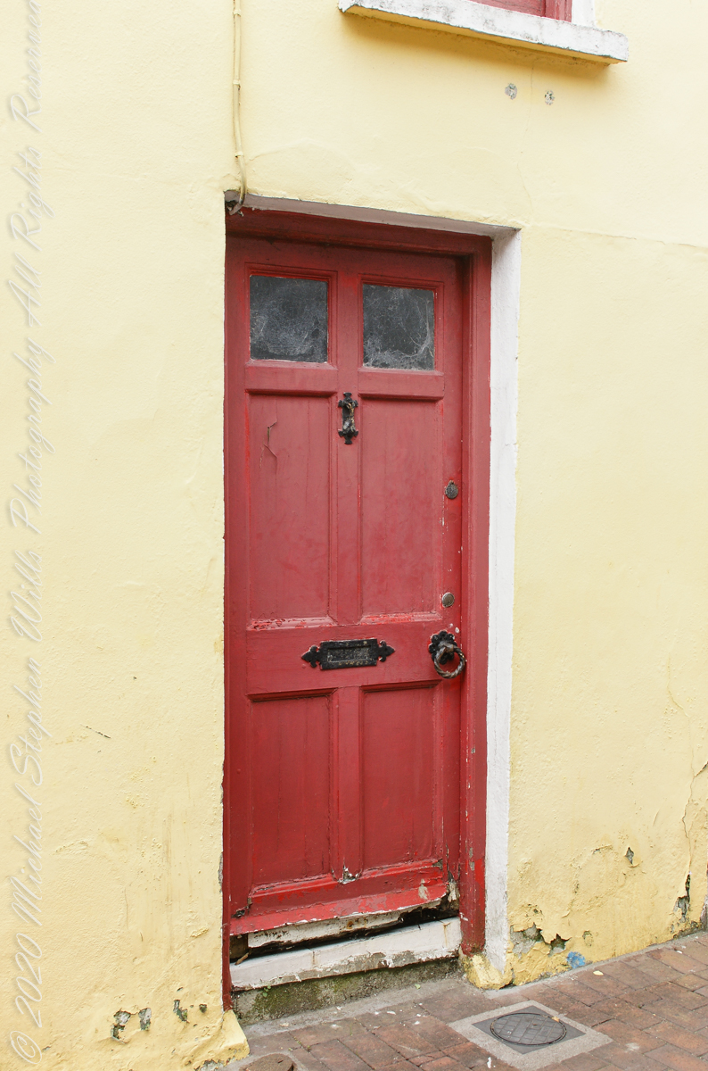
What is behind a fascinating red door in the yellow wall that held the above quote.
Red door in yellow wall. Kinsale, County Cork, Republic of Ireland
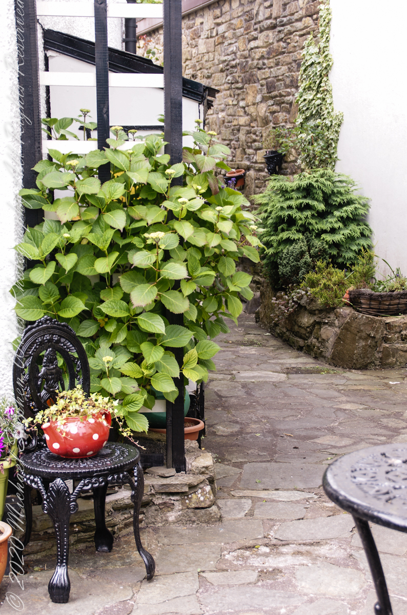
A cosy nook….
Off Market Square, Kinsale, County Cork, Republic of Ireland
References
“Aberdeenshire: Donside and Strathbogie – An Illustrated Architectural Guide”, by Ian Shepherd, 2006. Published by the Rutland Press Kinsale, County Cork, Republic of Ireland
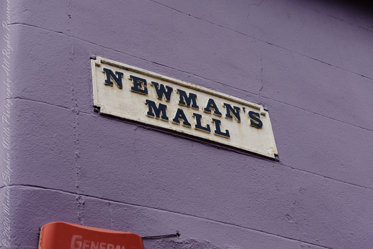
Walk across the square from the Museum to Newman’s Mall, the ancient heart of Kinsale.
Newman’s Mall, the ancient heart of Kinsale, County Cork, Republic of Ireland
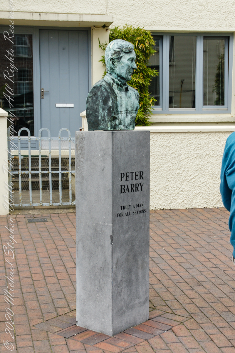
Within Market Place is this bust and memorial to Peter Memorial. the plaque text reads: “Peter Barry arrived in Kinsale in 1963 and settled in Scilly where he made his home. In those early years he operated and developed Scilly’s unique Spaniard Pub and the Man Friday restaurant, and later the Grey Hound Bar in Market Place. Peter Barry’s vision and selfless commitment to making Kinsale the ‘jewel in the crown’ of Irish tourism inspired others to join with him to work on a voluntary basis for the common good of the town. This led to the formation of organizations such as the Good Food Circle of Restaurants, and the Kinsale Chamber of Tourism. Many events followed such as the Wild Geese Weekends of the 70’s, the annual Gourmet Festival, International Food Forums, the Wine Museum at Desmond Castle and others which extended Kinsale’s tourism season to being an all year round affair. Kinsale and its community owes a great debt of gratitude to Peter Barry -Truly a Man for all Seasons.”
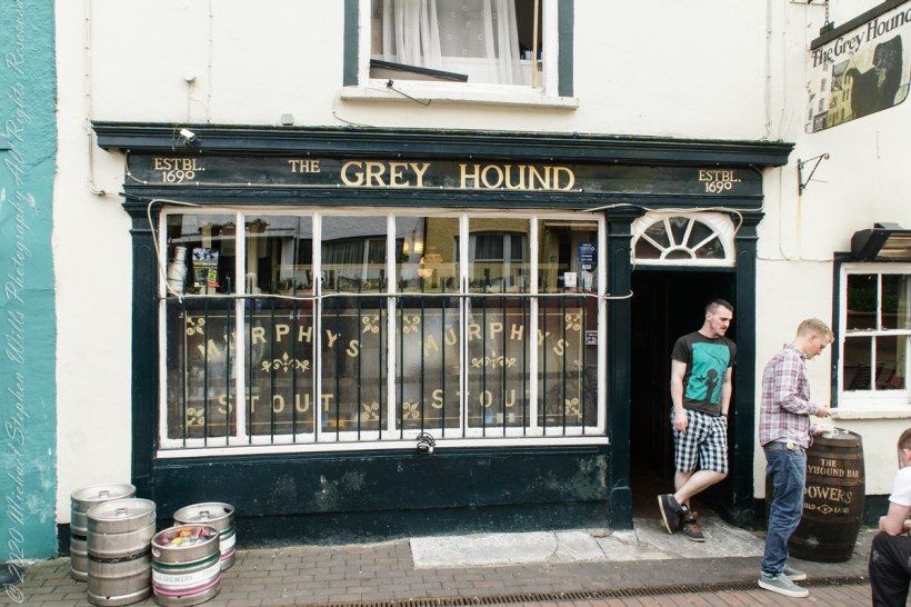
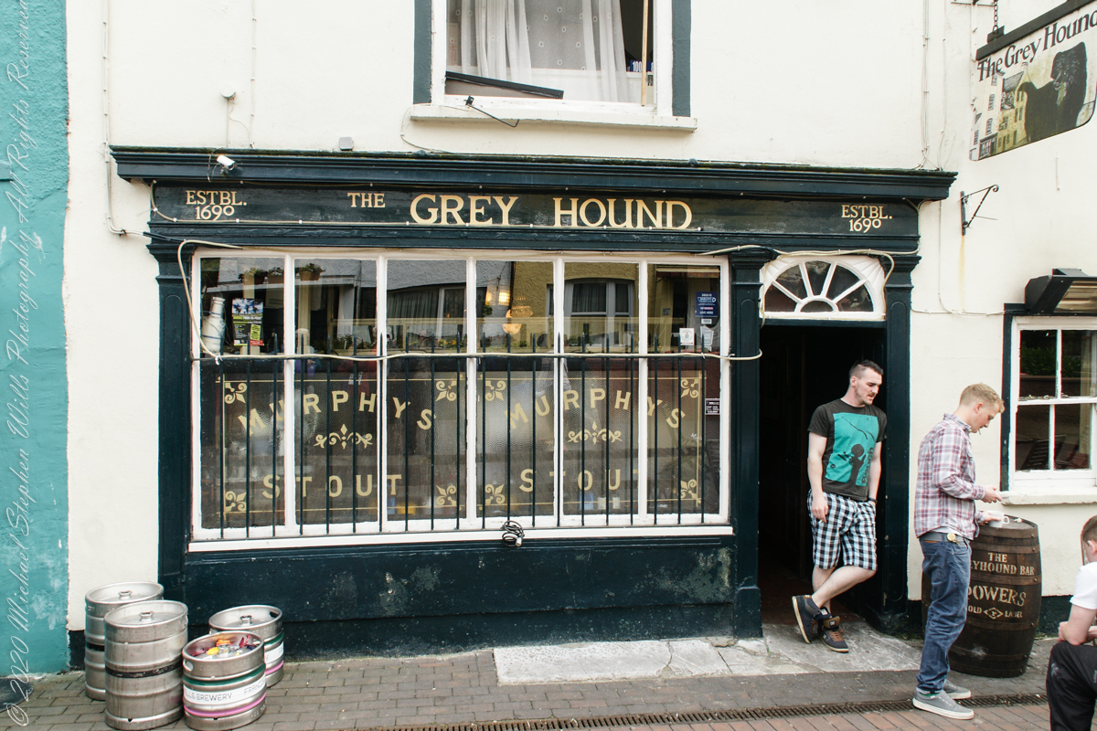
There is the Greyhound Pub, among the rest, at one time run by Mr. Peter Barry.
Off Market Square, Kinsale, County Cork, Republic of Ireland
And again…..”Established 1690″ indeed.
Off Market Square, Kinsale, County Cork, Republic of Ireland
A stone’s throw from the antique mooring of post 4 is this former Courthouse building, Market Square. Built around about 1600, with additions in 1706 which included the frontage with the loggia on the ground floor. Offices and a jury room were provided on the first floor, and part of the original building was converted into a paneled courtroom.
It was in this building that the Kinsale Town Corporation and its sovereign conducted their affairs and the Courthouse was also used for ceremonial occasions in the 18th century. This courthouse was the location for the inquest on the victims of the Lusitania, sunk off the Old Head of Kinsale in 1915 and is now home to the Regional Museum.
The Museum in the Courthouse includes a display on the famous Kinsale Giant. He was Patrick Cotter O’Brien. He died in 1806 and is believed to have been over 8 foot tall.
T
The Museum houses the largest collection of maritime artefacts in Ireland.