Canyon of Music, Wind, Light

there if you want to see it

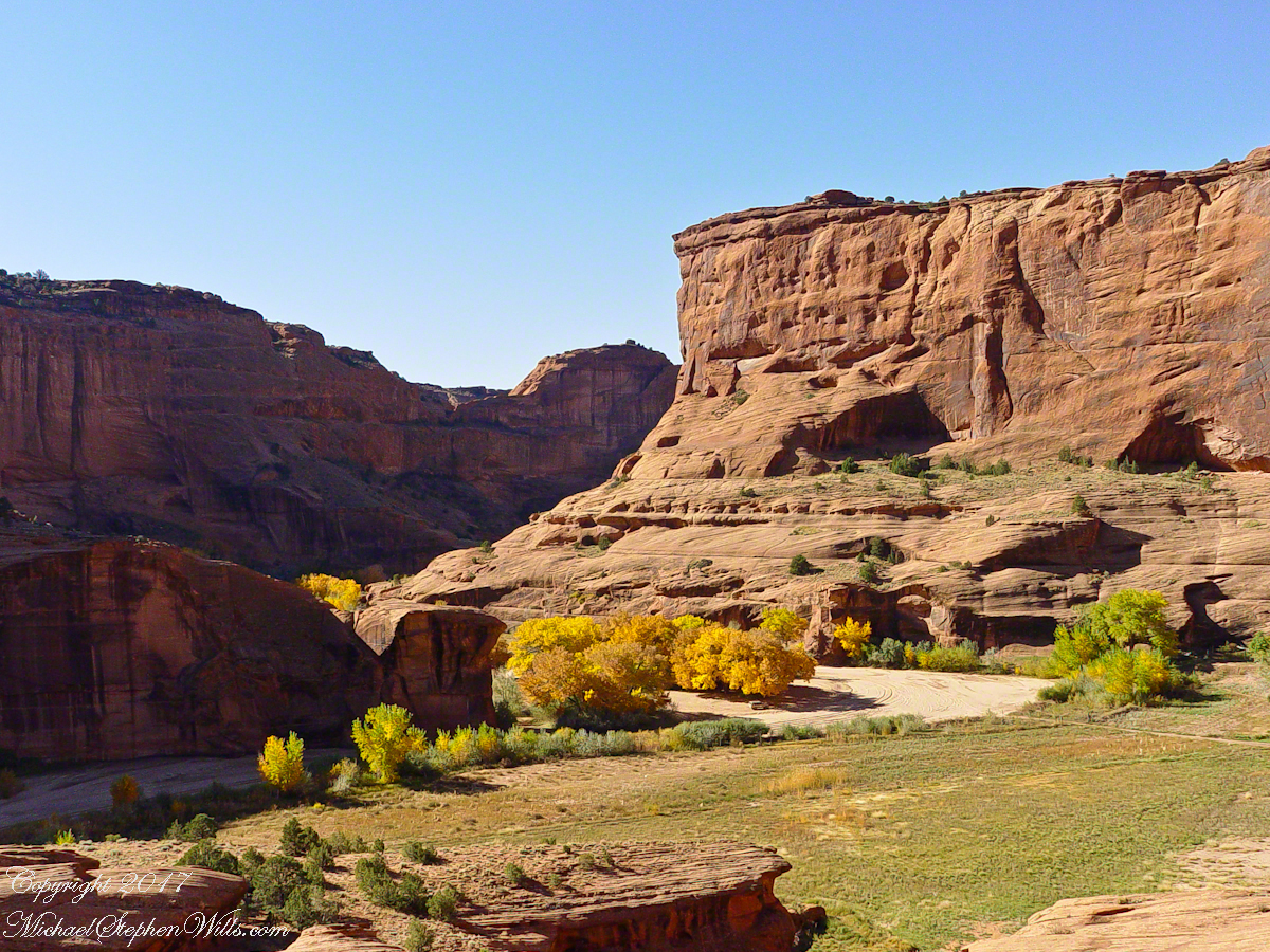
Canyon de Chelly View
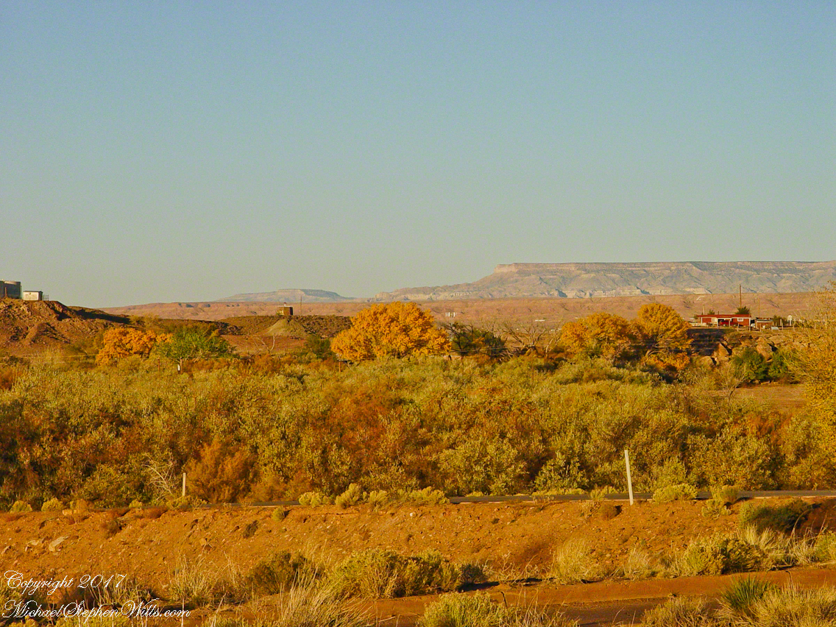
Looking southwest from the Canyon de Chelly visitor center toward the eastern escarpment of Black Mesa of the Hopis.

The village of Chinle is a “census designate place”, in other words it only exists because people live there, it was not formally recorded in “official” records. On the Navajo reservation, people lived here beyond recorded time. It is called in their language “flowing out”, where live giving water flows out from the canyons.

There is a fine Best Western in Chinle, better than most of that brand and the only choice for mile and miles and miles.
Navajo Hogan
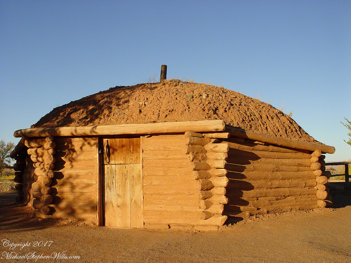
This is a cribbed log hogan. The domed earthen roof keeps the interior cool in hot weather and, along with a fire, warm in the winter. The Navajo hogan entrance faces east.

In Junction Ruin Musings, the previous post, a ruin from the Anasazi people was contemplated. Above is a traditional Navajo dwelling from a later, more secure, time.
Ramadan for shade
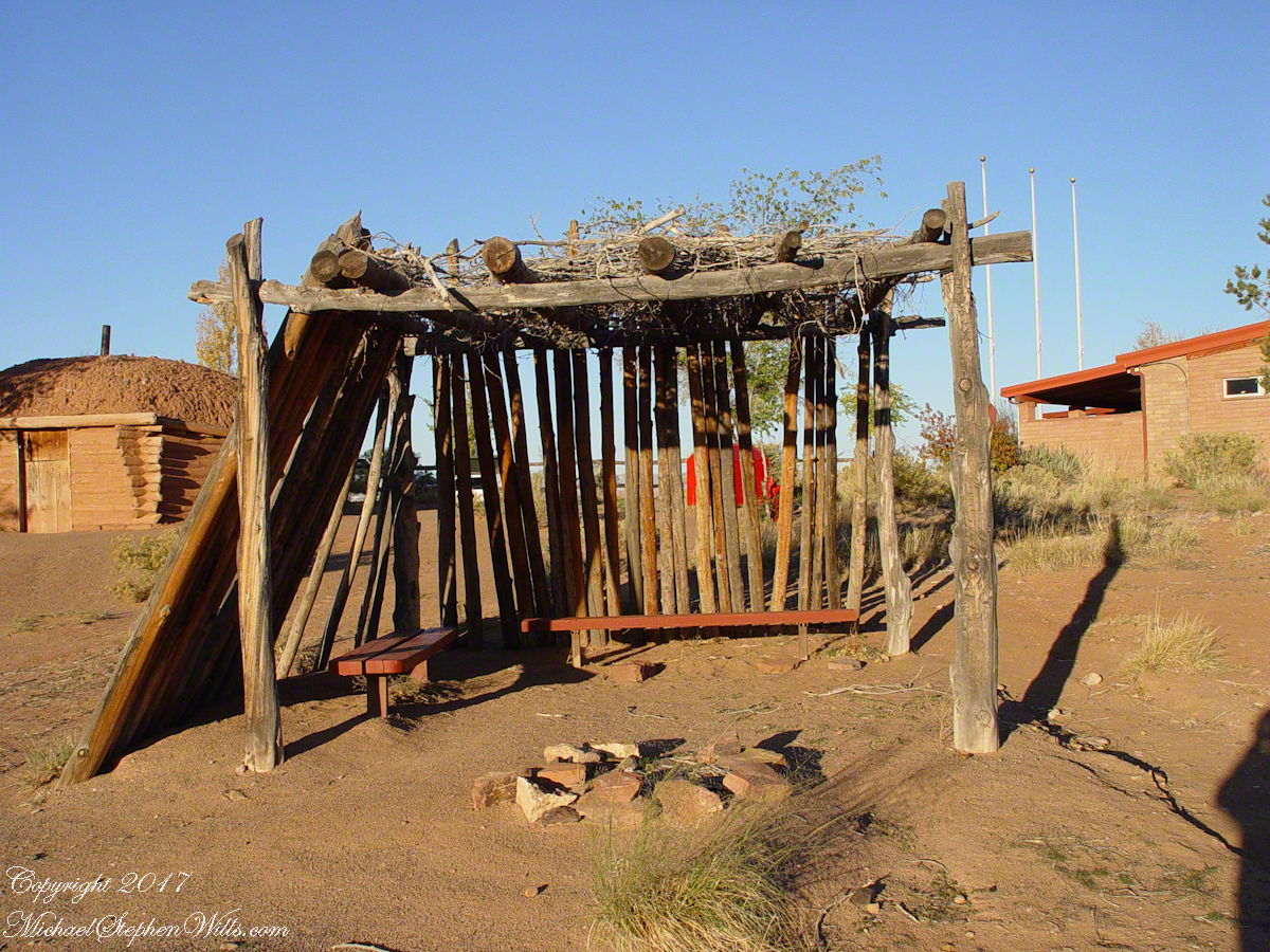
A good place to cook, read and sleep in hot weather. The entrance faces east and, for this one, the view was superb.

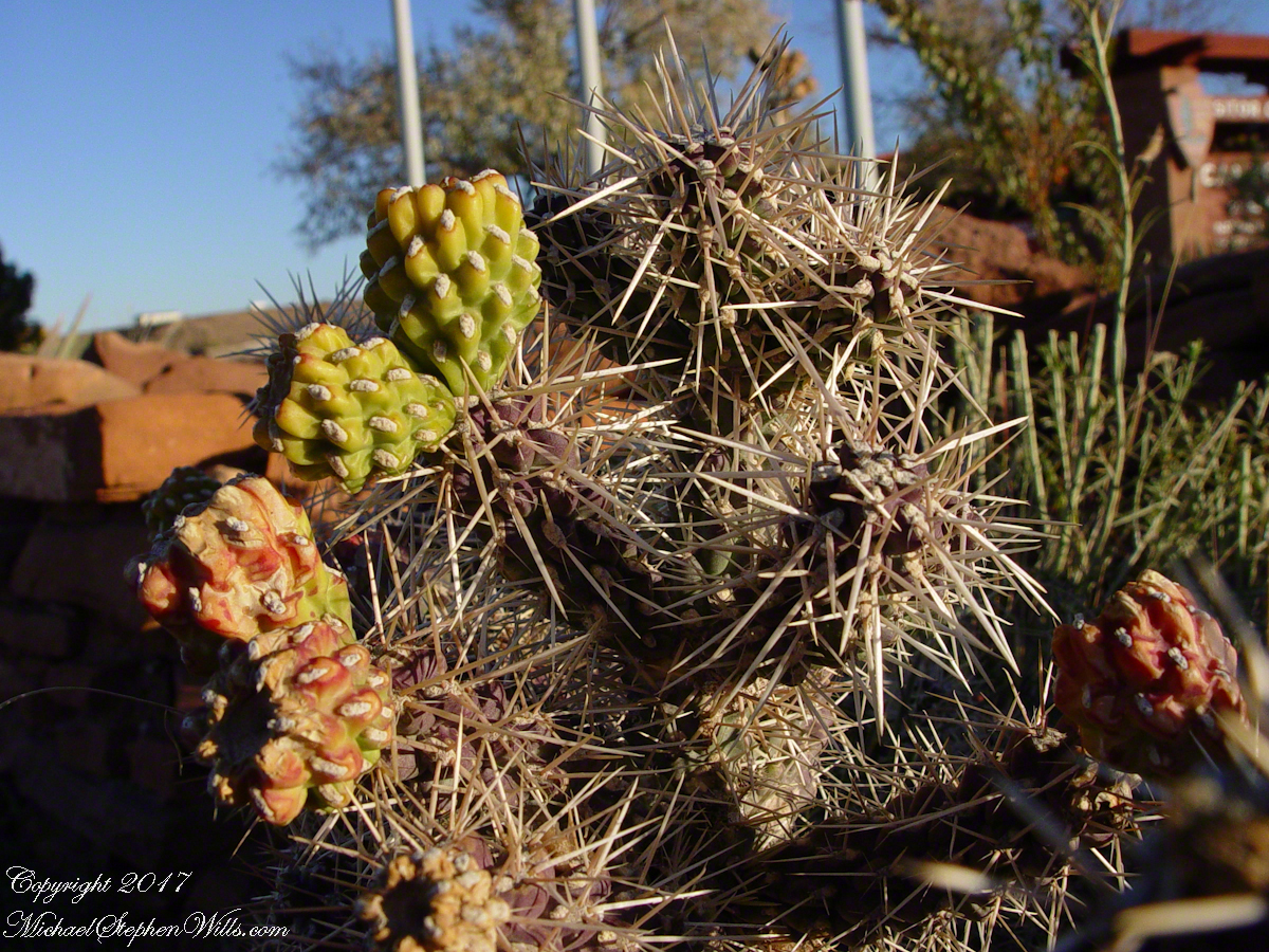
Ouch!!
Ouch!! Everywhere in the southwest, watch where you tread.

Click for my OnLine Gallery of Arizona photography
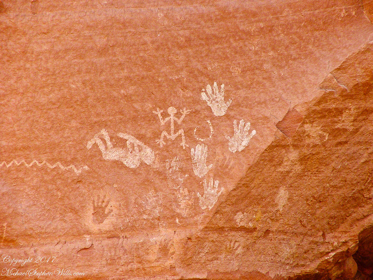
Pictographs Canyon De Chelly

Music

A Native American, seeing the flute playing Kokopelli, hears in the mind the sonorous melodies of their native flutes carried in as if on the wind. The hands waving in rhythm, “Here we are.”
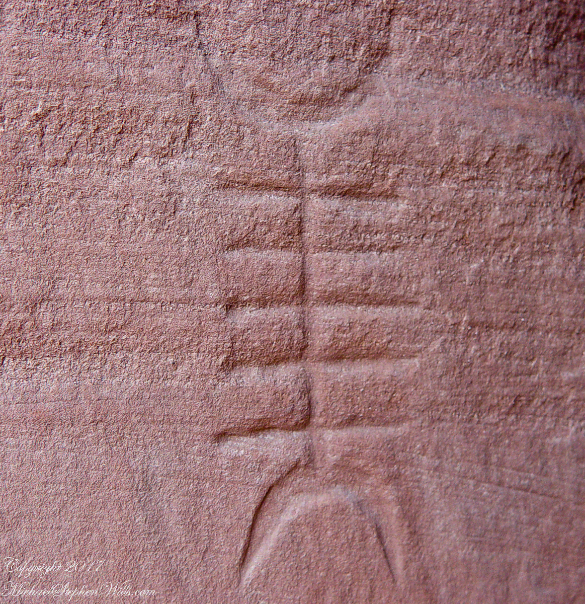
Clan Sign Petroglyph
Canyon de Chelly symbol carved into red sandstone cliff representing a clan sign.

I recall our guide, Peter, describes this as a scorpion.
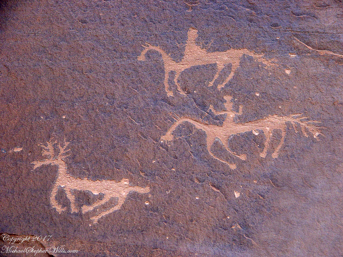
Desert Varnish Petroglyph
Canyon de Chelly petroglyph, desert varnish over red sandstone. Image is dated by representation of horses, brought by europeans.

The feeling of movement and the story invoked viewing this drawing etched carefully on the rock demonstrates we are in the presence of an accomplished artist. The story of the times for us to learn from.
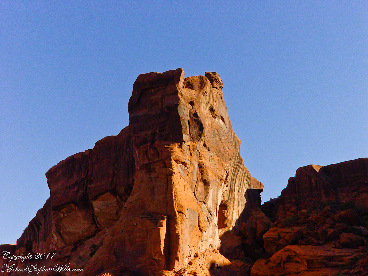
Raven Woman
Red sandstone formation on ridgeline, north side of Canyon de Chelly is remember by the Navajo for the story of the Raven Woman.

A Navajo woman, fleeing Apache captors, flew over this cliff, or seemed to. Survival depended on knowing how to run over slickrock without stumbling and to know where and how to disappear into the rocks.
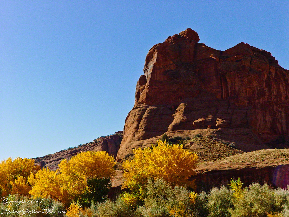
South Cliffs below Junction
Canyon de Chelly below the first division into tow arms, the junction. This is looking south east. The cottonwoods are in autumn foliage.

Light

Click for my OnLine Gallery of Arizona photography
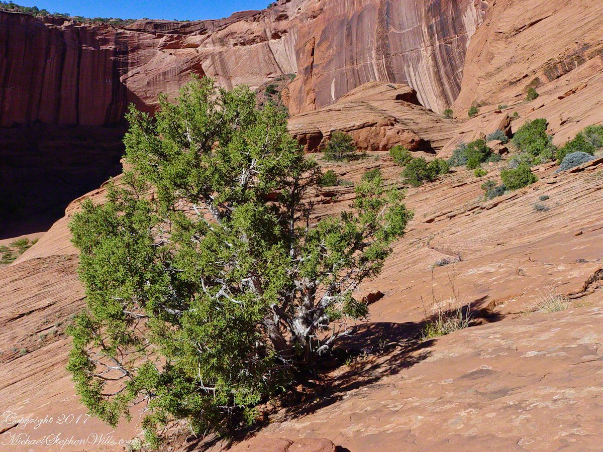
Juniper o Slickrock
Cahyon de Chelly is is possible here to climb out of the canyon over these lower slopes over what is called slickrock. In the foreground is a juniper tree.
Breadth, Light, Shadow
Canyon de Chelly vista from a slickrock ledge
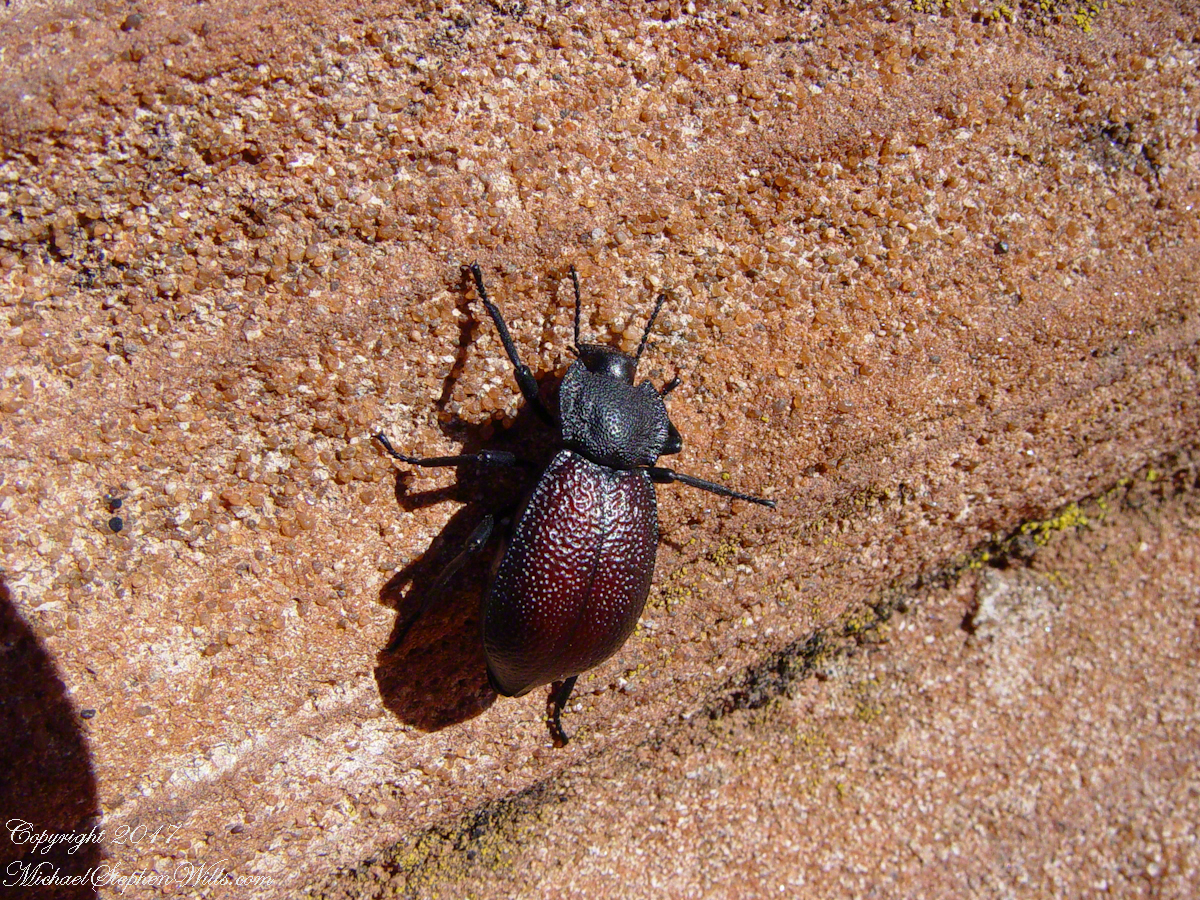
Beetle on Slickrock
A two inch dung beetle crawls up sandstone slickrock, the origin of this stone apparent from the visible sand granules within an apparent clay matrix. The stone grain, described as cross bedded, suggests this was a former dune of wind blown sand composed of remnants of the Ancestral Rock Mountains.

Wind

Click for the first posting of this series, “Portrait of a Navajo Guide”.

Click for the next posting in this series, “Moon Fin”

Copyright 2022 Michael Stephen Wills Photography

World at our Feet

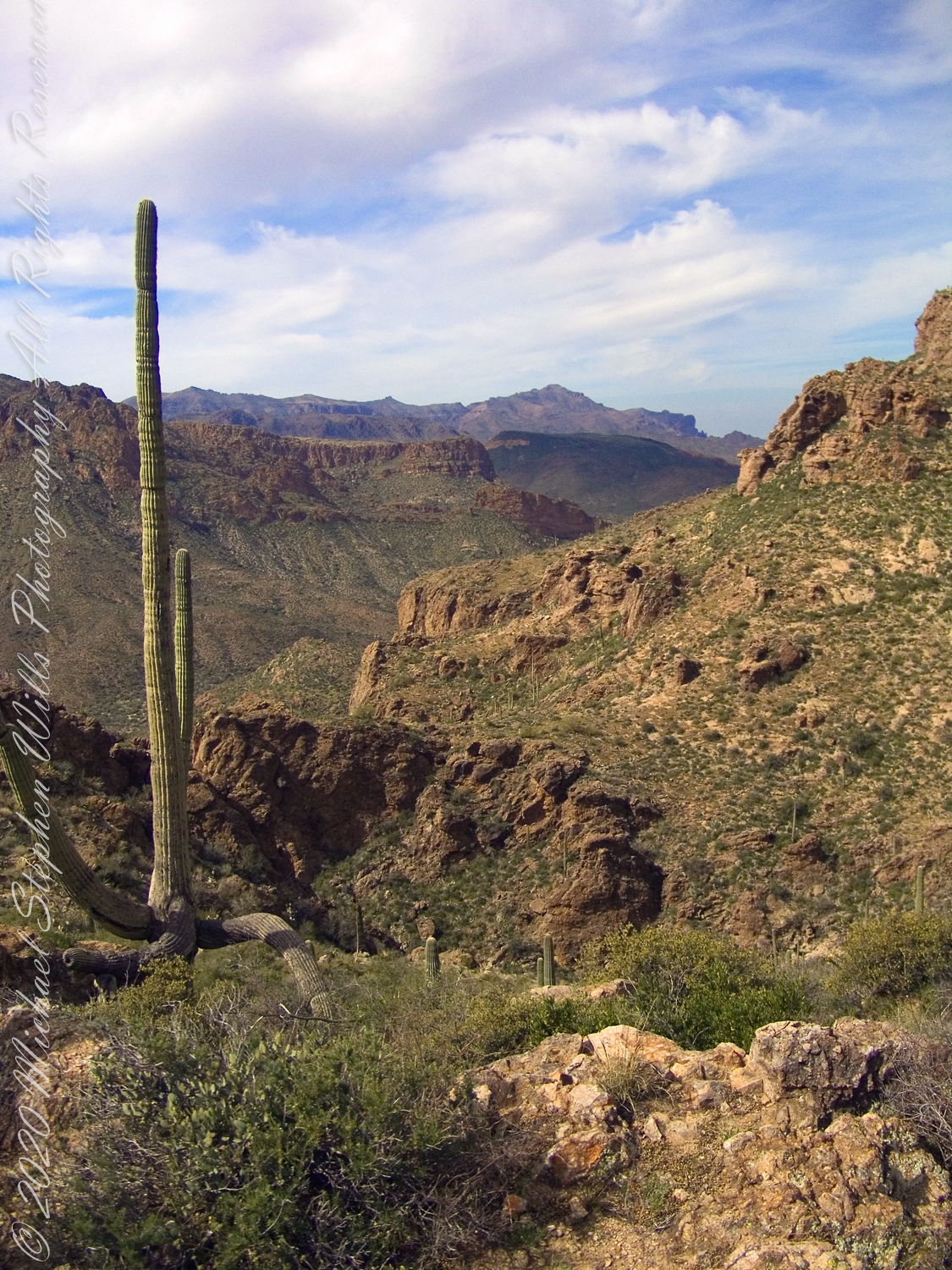
On Peter’s Mesa

View North / Northwest from Peter’s Mesa. At our feet is a mature Saguaro Cactus towering over Charlebois Canyon, to the right Black Mountain. Bluff Spring Mountain, middle distance, then Black Top Mesa. Flatiron Peak, of the famed Superstition Mountain, is in distance. Photographed from Peter’s Trail on a March afternoon 2008. Superstition Wilderness, Tonto National Forest, Arizona

Bluff Spring Mountain, middle distance, then Black Top Mesa. Flatiron Peak, of the famed Superstition Mountain, is in distance. Photographed from Peter’s Trail on a March afternoon 2008. Superstition Wilderness, Tonto National Forest, Arizona

Click Me for the first post of this series, “Bluff Spring Mountain.

Copyright 2022 Michael Stephen Wills All Rights Reserved

Morning / Evening

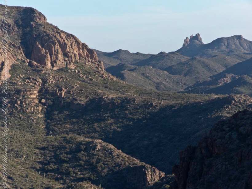
Can you see the Needle’s Eye?

The eye of Miner’s Needle is clear in both these South / Southeast views from Peter’s Mesa looking across the Music Canyon.

Many wildflowers, sprinkled like stars through the foreground of the morning photograph with Prickly Pear, Cholla and Saguaro cactus. Beware of “Jumping Cholla”, named for its seeming ability to attack passers-by. Another name, “Hanging Chain Cholla”, is more appropriate. Each chain with many hooked barbs is lightly attached to the branch, ready to snag a ride from unwary hikers.

Light rakes across the landscape in the evening photograph, taken from another vantage point on Peter’s Mesa. Miner’s Needle is four (4) miles away “as the crow flies,” i.e., line of sight distance.

Click Me for the first post of this series, “Black Mountain.

Copyright 2022 Michael Stephen Wills All Rights Reserved

Panoramic

Superstition Glory

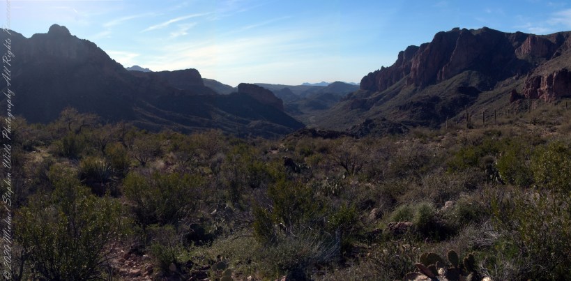
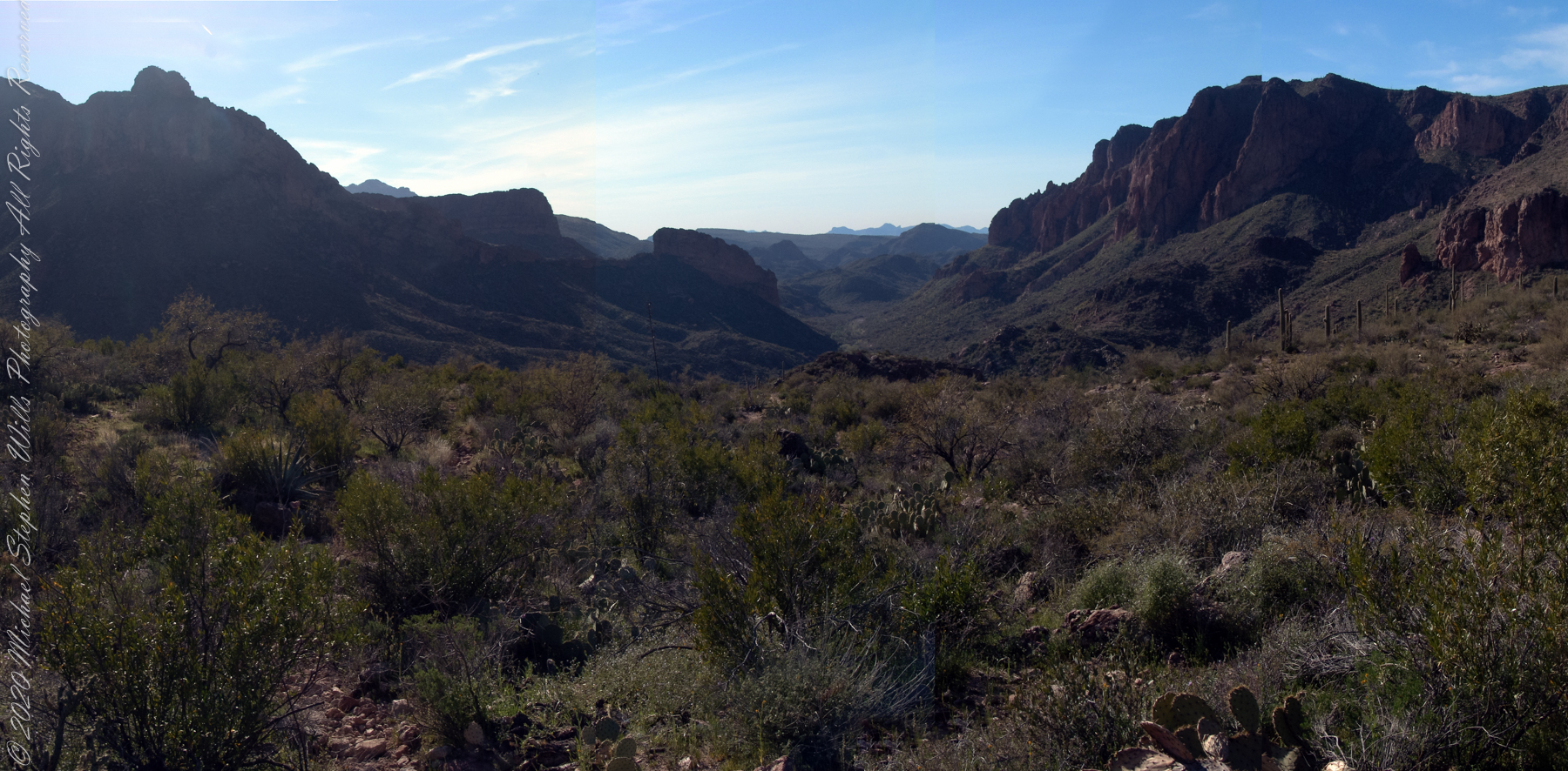
View North / Northwest from Peter’s Trail looking back the way we came. Black Mountain on right, Bluff Spring Mountain left with LaBarge Canyon running to the Red Hills center. On a March afternoon 2008.

Click Me for the first post of this series, “Black Mountain.

Copyright 2022 Michael Stephen Wills All Rights Reserved

Hear the Music

Roasted Yucca

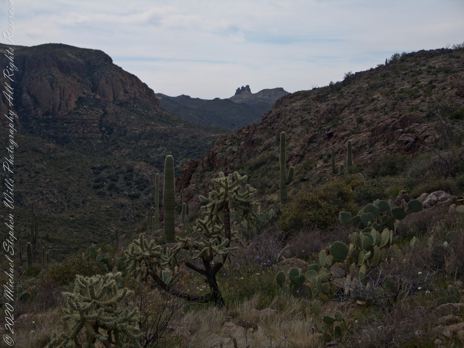
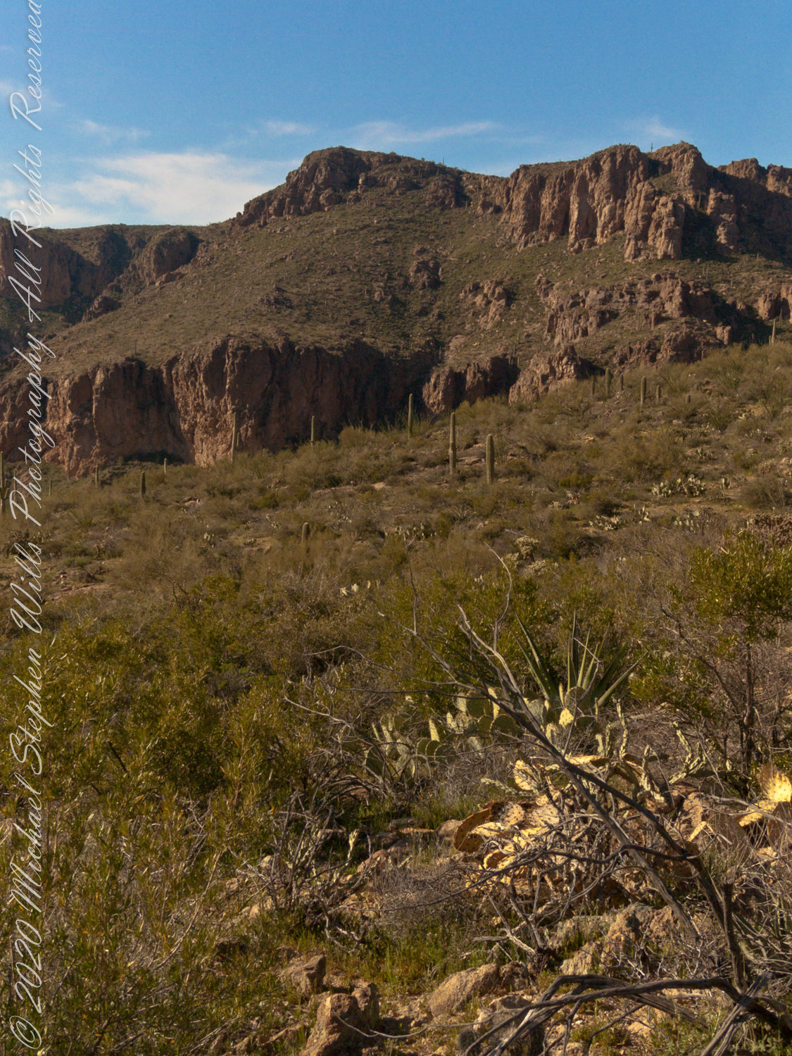
Here we are climbing Peters Trail to the eponymous mesa and facing East to Music Mountain. Scattered in the brush are desiccated and live Prickly Pear cactus. Poles of young saguaro cactus like randomly placed telephone poles poke up around the lower slopes.

The first published record of Music Mountain is by Ray C. Howland of Mesa Arizona who sent a letter to “Everybody’s Magazine” that appeared in a feature called “Everybody’s Meeting Place: Where writers, readers and the editor gather for informal discussion,” May 1928, Volume 58, Issue 5, page 173. I reproduce Howland’s letter here with minor editing:

“I am in the deserts and mountains of Arizona most of the time. I go into town once each month for mail and provisions. I meet many things as I ramble around, many strange things, things that are beyond my ability to comprehend. One particular was in my mind as I read your printed thought in the back of Everybody’s. Far in the Superstition Mountains of Arizona, in the deepest, most rugged canyon, there are three caves halfway up a great yellow bluff. In these caves are mud dwellings. There are not the cliff-dwelling as found in other parts of Arizona.

The mud walls of these dwellings were made by people with very small hands. The handprints of these ancient masons remain as though they were made yesterday. Just below these caves a beautiful pool of crystal-clear water lies between grassy banks. Tall ghostlike sycamores grow there in great numbers.
I have camped many times beneath those sycamores. It is a beautiful spot. Such a difference between there and the hot desert that lies fifteen miles to the south.! As one lies there, just at twilight, begins the most wonderful music one could imagine. I have never heard music that could compare to it, vague, elusive at times, then again of greater volume. It is my opinion that no living being could record it.

The music is, I believe, beyond description. It seems to take you out of your moral self and transport you back ages and ages, almost to the beginning of things. For the time being one feels as though he were in another world.
I have often tried to solve this little private mystery. I can’t explain it. I can’t even describe it intelligently.

You will probably say as you read this that is is the wind among the pinnacles, caves, trees, etc. that make this wonder phenomenon. It cannot be, for usually there is no breeze in the mountains at twilight. It is still as a tomb except for that music. Besides when the breeze is blowing at any other hours of the day there is no sound.”

Here is a copy of that issue for you to see for yourselves.

In my photographs the bluffs described by Howland are seen clearly in the distance. During our expedition we were never able to visit the caves, though Dave described the location, caves, and dwellings. On Peter’s Mesa are remains of pits where Apaches and Yavapais gathered hearts of agave to roast. We visited a small cave in the side of Peter’s Mesa showing signs of high heat and possibly used for roasting agave.

Click Me for the first post of this series, “Black Mountain.

Copyright 2022 Michael Stephen Wills All Rights Reserved

From Music Canyon

Down South

Dutchman Trail follows the outflow of two springs along the canyon floor: Music Canyon and LaBarge springs. Here we are climbing Peters Trail to the eponymous mesa and facing south / Southeast, looking down on Dutchman Trail.

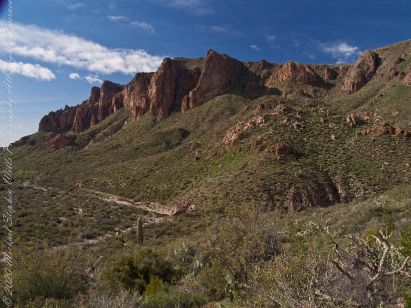
This is rough country below Bluff Spring Mountain. Stag Horn Cholla cactus is lower right with Prickly Pear cactus scattered in the brush. Poles of young saguaro cactus are scattered around the lower slopes.

Click Me for the first post of this series, “Bluff Spring Mountain.

Copyright 2022 Michael Stephen Wills All Rights Reserved

Black Mountain

Million Dollar View

After a respite among the cool spring waters, we headed up Peters Trail for the top of Peter’s mesa where, for all we knew, there was no water.

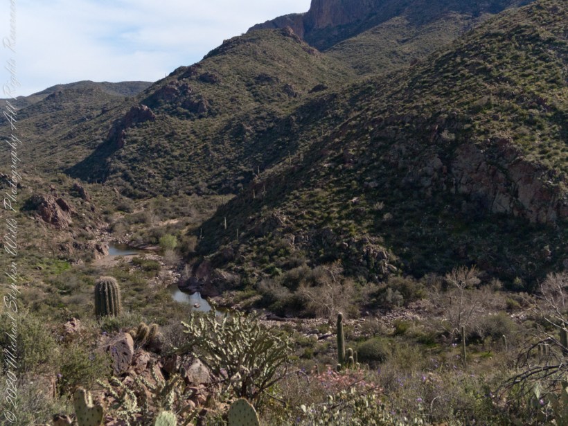
In this photograph I face northwest, looking down on Dutchman Trail. The peak, upper center left, is Black Mountain. The cleft of Charlebois Canyon is lower middle right. Stag Horn Cholla cactus is lower right with Prickly Pear cactus scattered in the brush. Poles of young saguaro cactus are scattered around the lower slopes. Look carefully and you can make out the pooled water of our rest stop.

Copyright 2022 Michael Stephen Wills All Rights Reserved

Around the Mountain

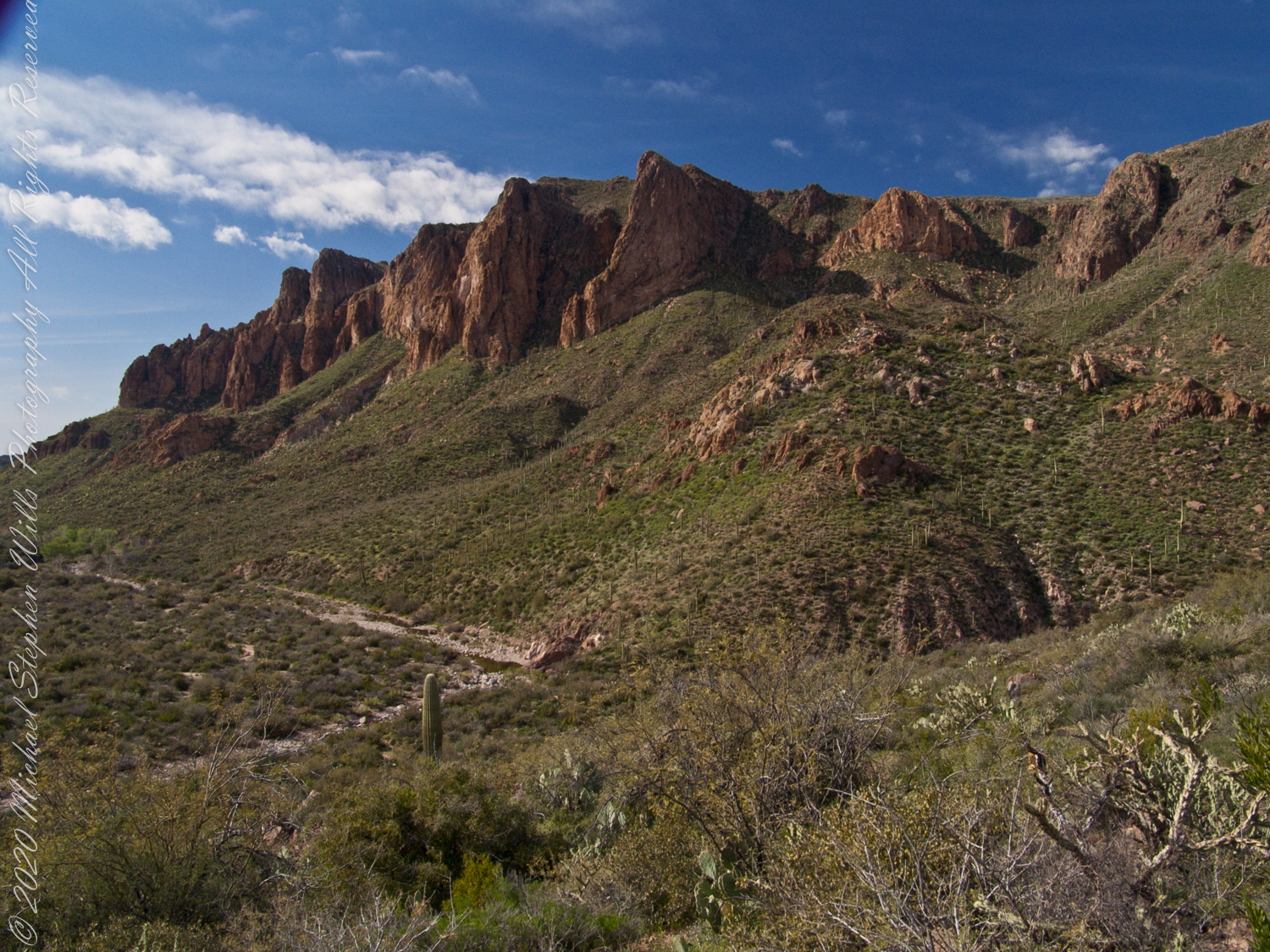
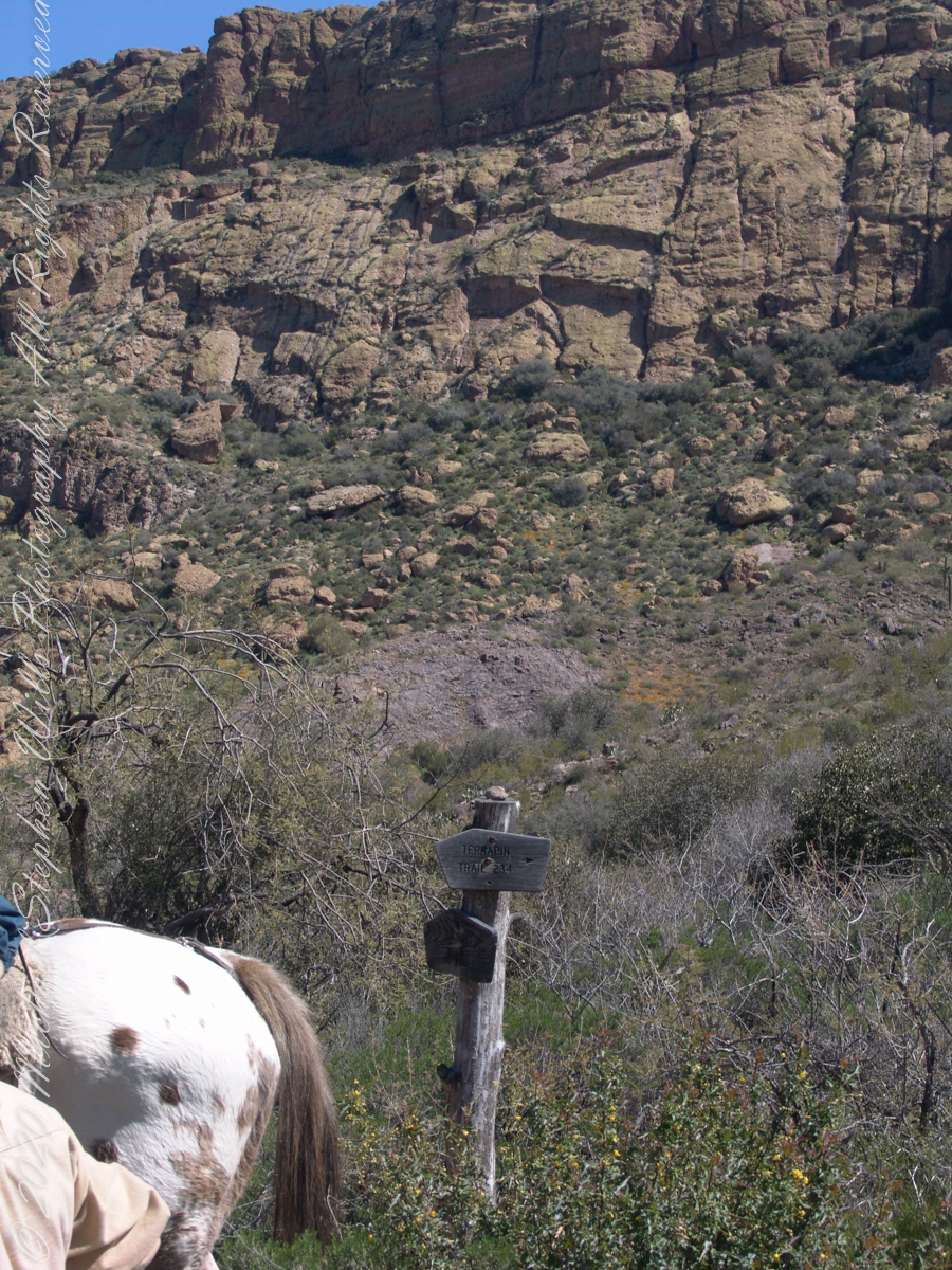
The beetling cliffs of Bluff Spring Mountain

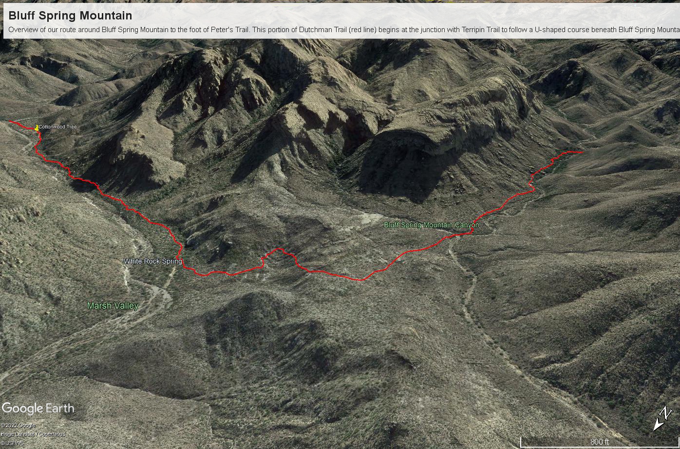
Here is a recap of the last few Superstition Wilderness posts. The expedition route, in red, starts on the right where Dutchman and Terrapin trails meet. The total distance is 2.6 miles. Photograph timestamps tell me about 2 hours passed — 1.3 miles per hour in this rough country.

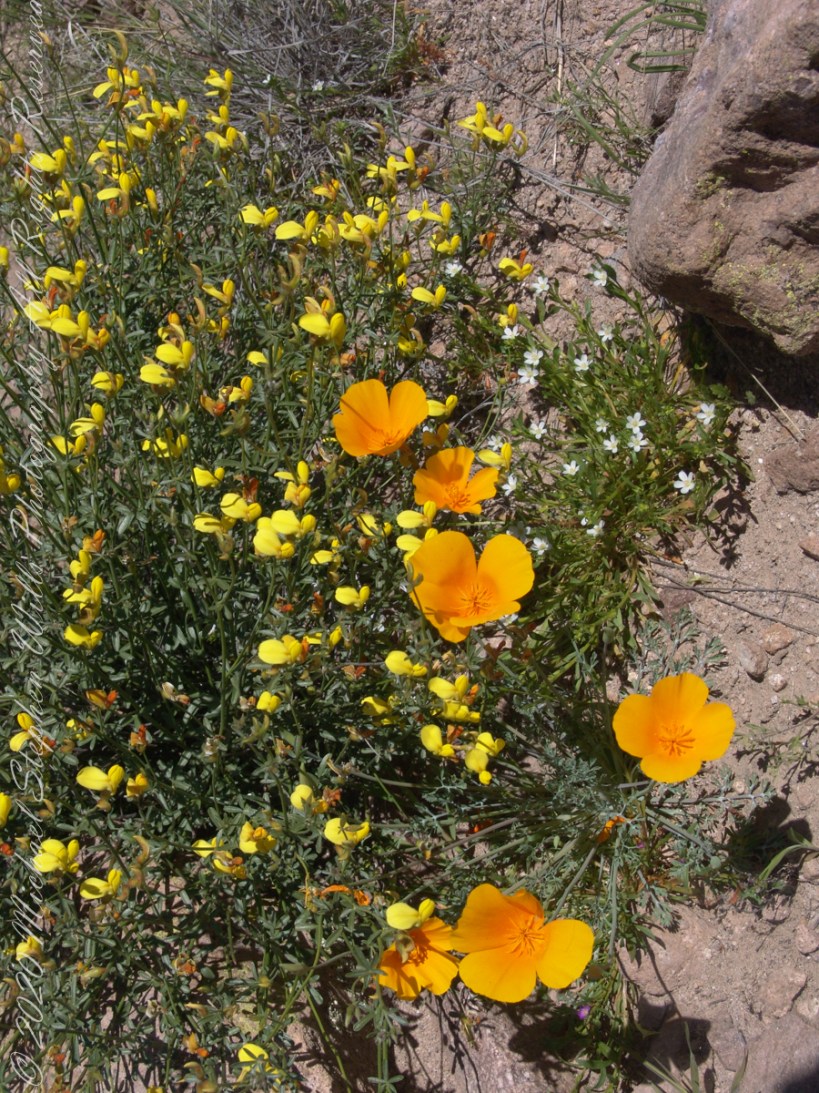
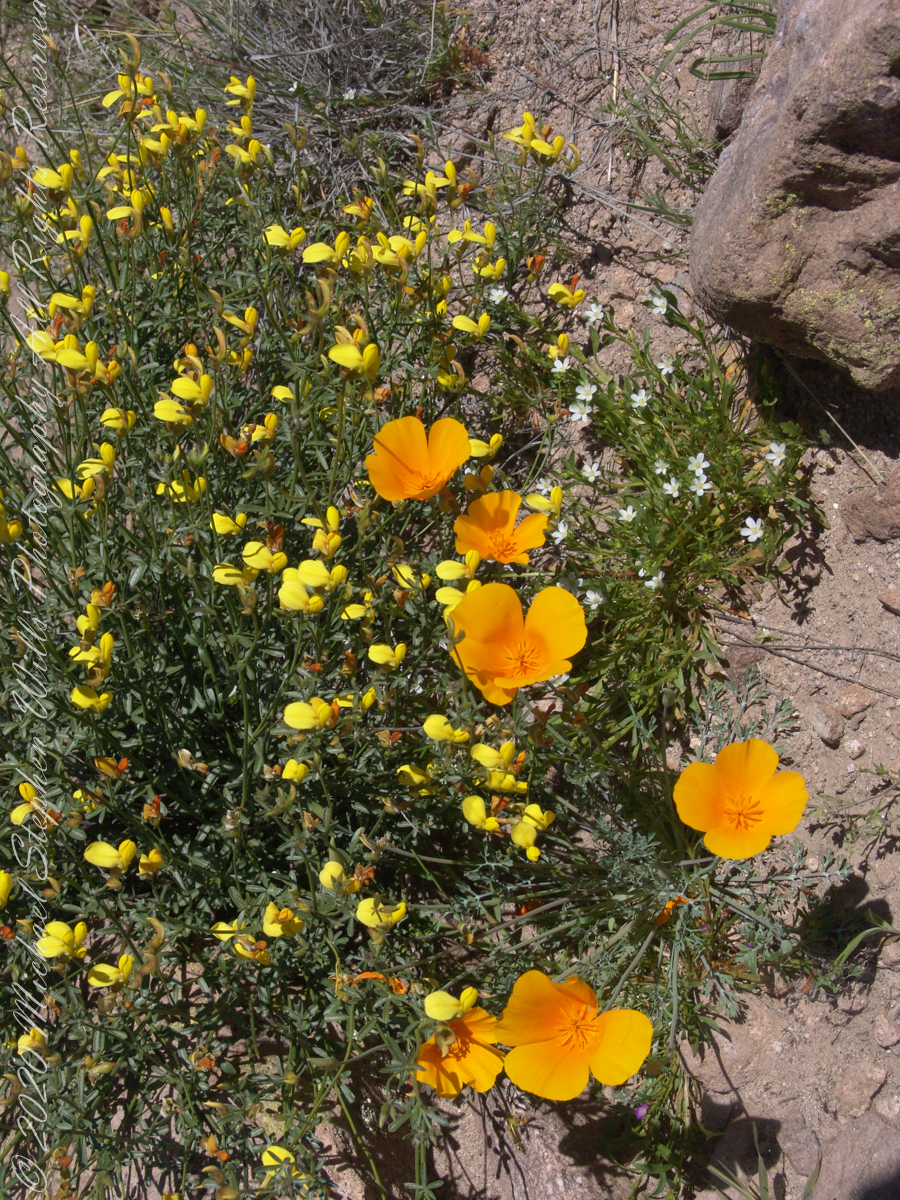
I came upon the wildflowers of “Desert Color” a few minutes after starting.

“Ominous Splendor” photograph was taken just before Bluff Spring Mountain Canyon (green text).

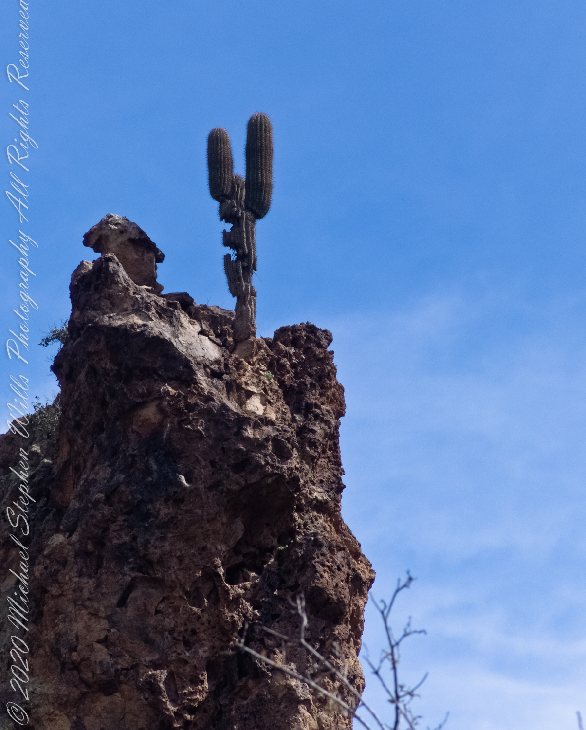
“Marked Saguaro” was encountered a few minutes before the Cottonwood tree of “Riparian,” marked with a pushpin.

“Spring Flow” is the endpoint on left.

Here is a gallery of photographs from this portion of our expedition.

Copyright 2022 Michael Stephen Wills All Rights Reserved

Spring Flow

Rest Before A Climb

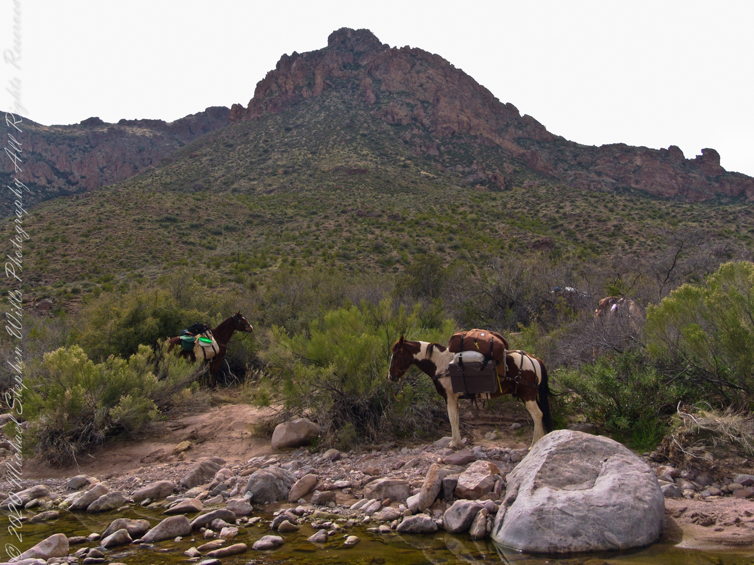
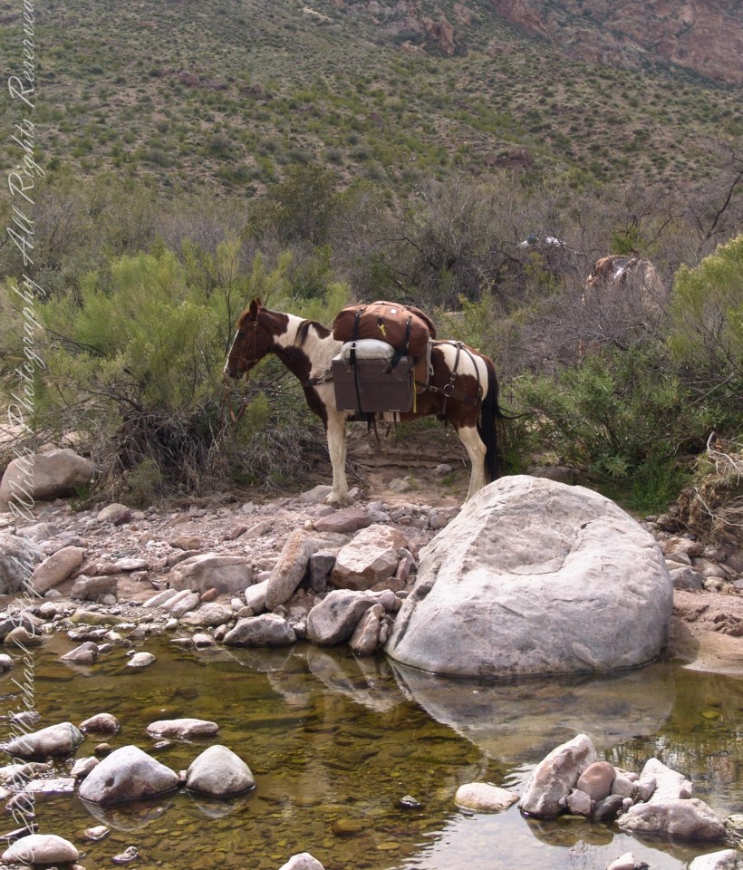
The expedition party rested where Dutchman Trail intersected the creek, full of flow from Charlebois Canyon, Music Canyon and LaBarge springs. We filled the water reservoirs in preparation for the climb up to the night’s camping spot on Peter’s Mesa, a 1,300 foot climb over 1.2 miles.

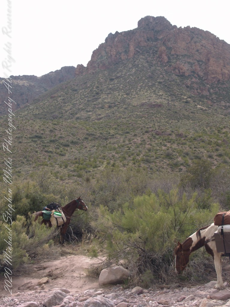
Behind Colorado and “Ed’s Horse” (don’t recall the name) is Bluff Spring Mountain.

Click Me for the first post in this series, “Bluff Spring Mountain.”

Copyright 2022 Michael Stephen Wills All Rights Reserved

Riperian

Blessings of Water

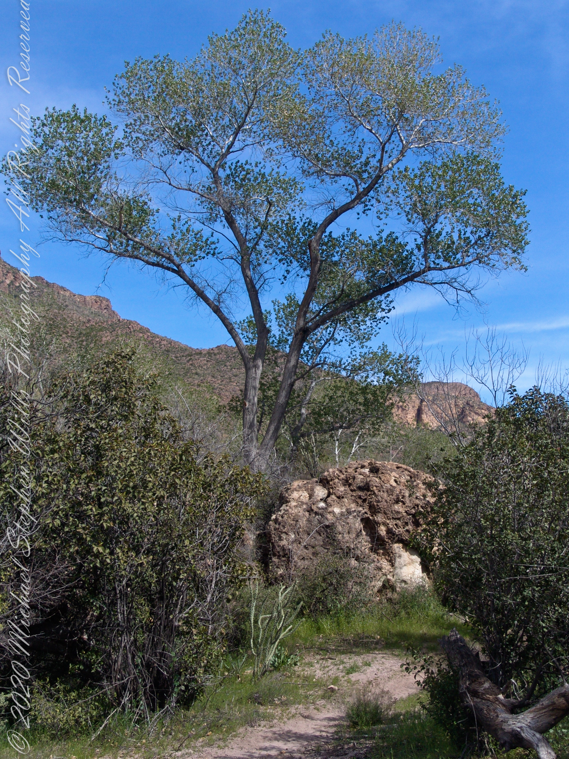
A view to west on Dutchman Trail between Bluff Spring Mountain and Peter’s Mesa. The creek flowing from Charlebois, Music Mountain and LaBarge springs nourishes this Fremont’s Cottonwood (Populus fremontii) and other riparian flora. The tree is flanked by volcanic rock from an ancient eruption.

Click Me for the next Superstition Wilderness post, “Spring Flow.”

Copyright 2022 Michael Stephen Wills All Rights Reserved