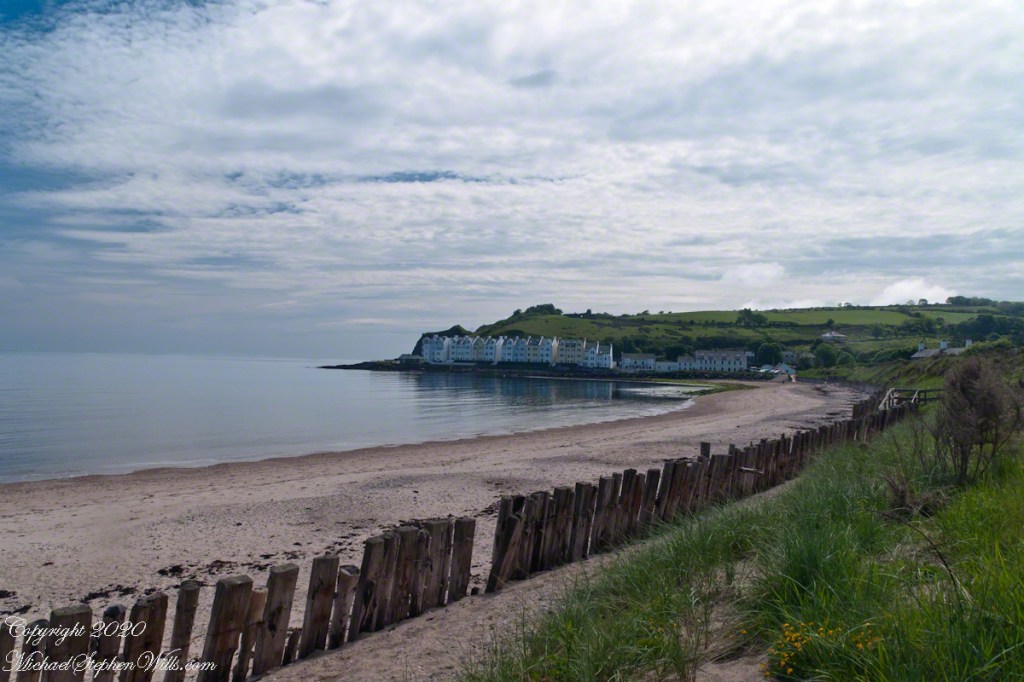
Standing on the beach at Cushendun village, looking south to take in the broad sweep of the shallow bay.
Click photograph for a larger view. To do this from WordPress Reader, you need to first click the title of this post to open a new page.

Tableland
Standing on the beach at Cushendun village, looking south to take in the broad sweep of the shallow bay.
Click photograph for a larger view. To do this from WordPress Reader, you need to first click the title of this post to open a new page.
Tableland
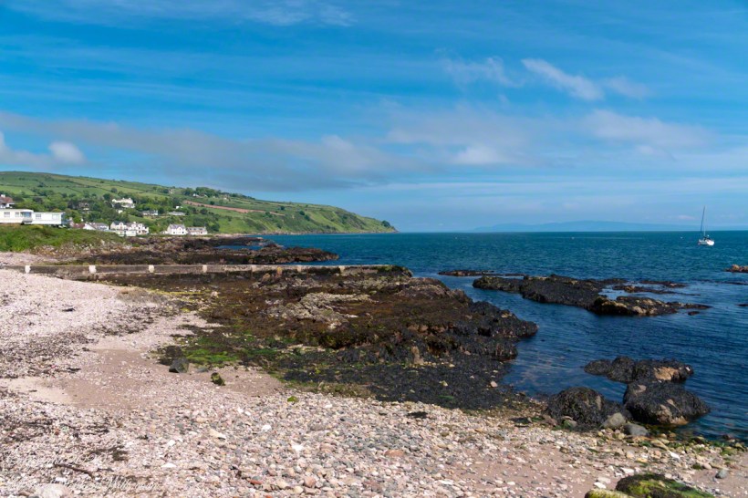
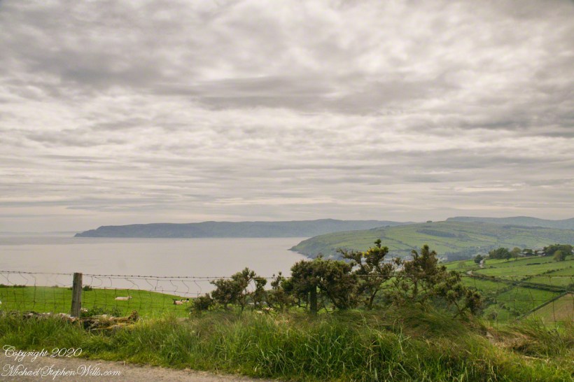
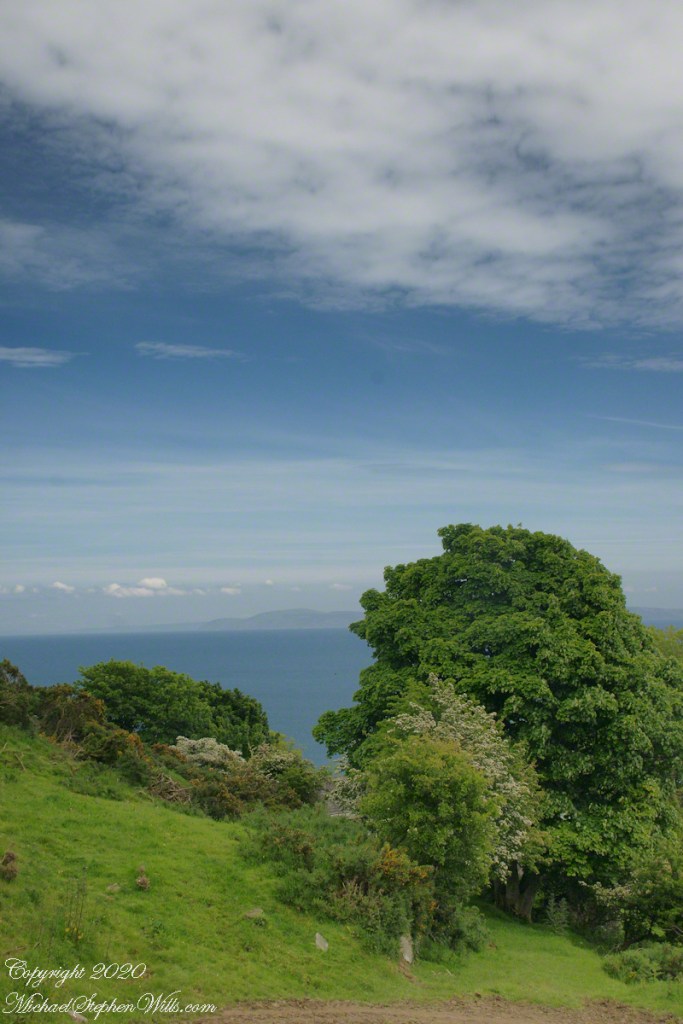
Standing on the beach at Cushendun village, looking east towards the Scottish coast, just over the horizon. Cushendun is an ancient ferry port.
Click photograph for a larger view. To do this from WordPress Reader, you need to first click the title of this post to open a new page.

Tableland
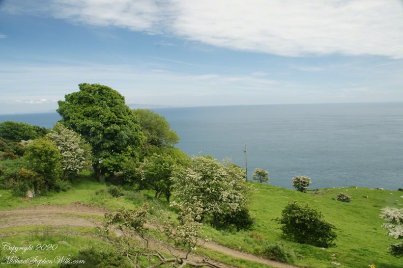
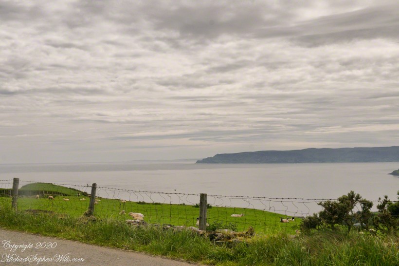
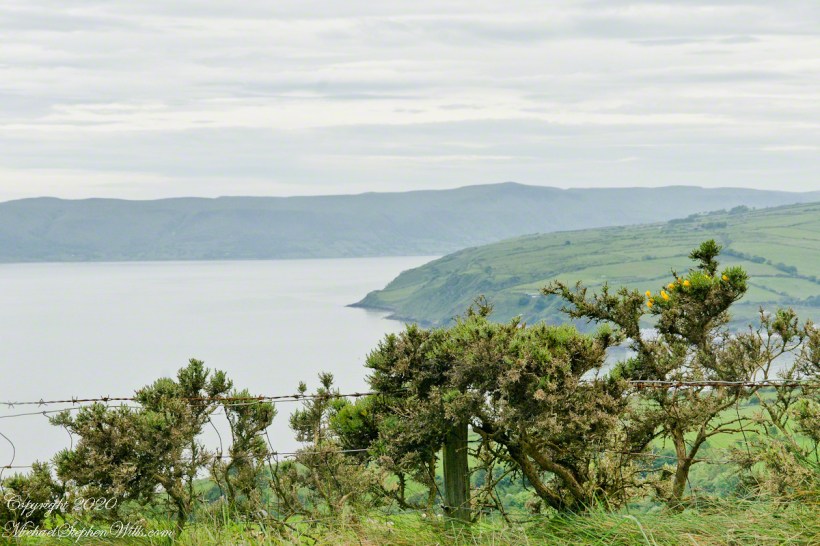
Standing on the beach at Cushendun village, looking west towards the glens. The Antrim coast is notable for the rising tablelands of broad, eroded valleys, or glens.
Click photograph for a larger view. To do this from WordPress Reader, you need to first click the title of this post to open a new page.
Neat and tidy
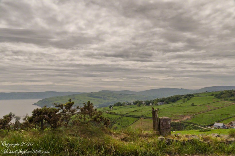
Here is a view of our route to Torr Head standing on the beach at Cushendun, facing north. The village name in Irish is Cois Abhann Doinne, meaning at the foot of the river Dun, the land here and bay formed by the outflow of rivers from the glens.
Click photograph for a larger view. To do this from WordPress Reader, you need to first click the title of this post to open a new page.

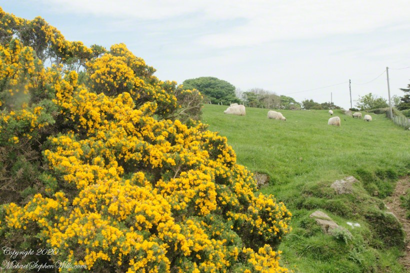
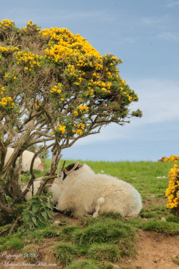
Gorse in flower
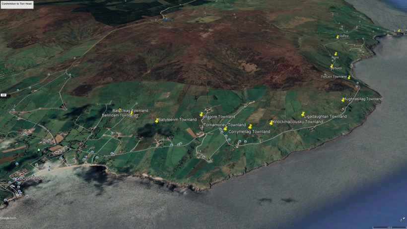
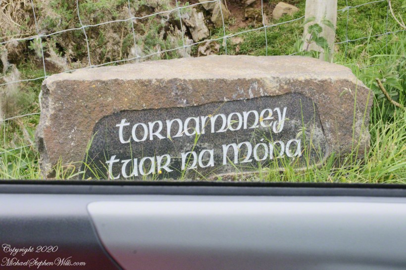
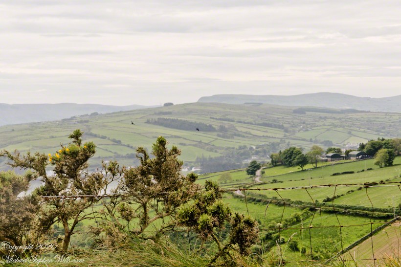
In 3.1 miles Torr Road passes nine townlands between Cushendun and Torcorr Townland, each with a namestone holding the Irish and Anglicized name. We can walk it in an hour at a steady pace, the terrane is sliced up so.
Click photograph for a larger view. To do this from WordPress Reader, you need to first click the title of this post to open a new page.
Tornamoney townland is “Cattle Field of the Bogland.” That is the car door, foreground.
Common to all was the slope down to the North Channel.
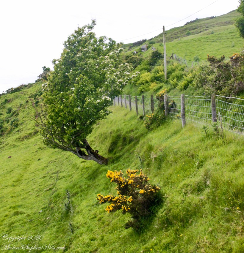
Rowan Tree directional growth from a constant east wind..
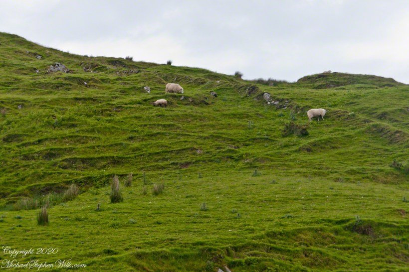
Sheep pasture above the Loughan Cottage ruins.
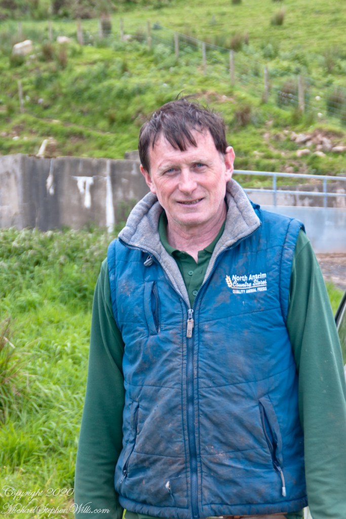
Here is the friendly owner who climbed off his tractor for a chat with Pam while I photographed.
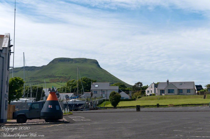
Rising from Cushendun Village
Torr Road passes nine townlands between Cushendun and Torcorr Townlands, each with a namestone holding the Irish and Anglicized name. Here are a few interesting names.
Click photograph for a larger view. To do this from WordPress Reader, you need to first click the title of this post to open a new page.
“Ballindam” is derived from the Irish “Baile an tdam”, the Anglicization is the sounding out of Irish. Baile is “town” and “an tdam” is on the dam.
Headed uphill, the next is “Ballycleagh”. Bally is the English pronunciation of Baile. I found “cleagh” on Google translate under “Scots Irish” for “Well.” So, this is the town of the well.
Here is a sheep lookout at the aptly named, Alt gabhair townland, Irish for “Goat Section.” Otherwise known as Altagore.
Ancient Gaelic Names
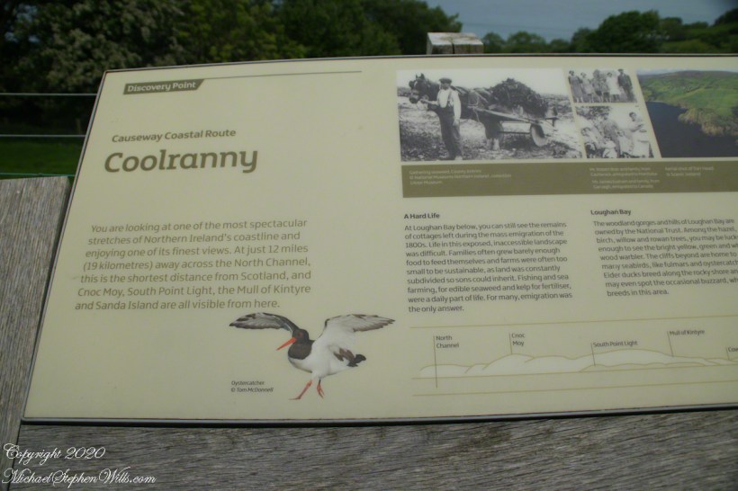
Take a look at the view of Coolranny Townland on approach from Torcorr on Torr Road and see the source of this townland name that, from the Irish Language, means a recess, or “nook”, of ferns, or “bracken.” This, in the “Glens” section of County Antrim, is not a deep glen, as such, is rather a wrinkle between town headlands.
Click photograph for a larger view. To do this from WordPress Reader, you need to first click the title of this post to open a new page.
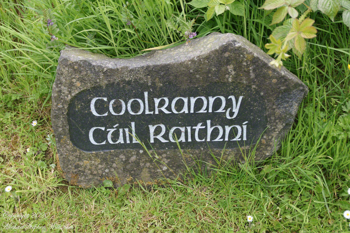
The words carved on this namestone are from ancient Irish language with “Cuil” (a recess) and “Raithni” (possessive case of the noun for bracken, a type of fern). In other words, recess of ferns. The anglicized name, “Coolranny,” is the untranslated sound of the Gaelic place name.
The road to Coolranny starts at the foot of Glendun, Cushendun village. Here is the view over Cushendun and its sheltered harbor as Torr road climbs in a series of switchbacks to Torcorr townland.


A shining Star
Saint Mary’s “Star of the Sea” Church. Culraney, Cushendun, Co Antrim, BT44 0PU. Diocese of Down and Connor.
Click photograph for a larger view. To do this from WordPress Reader, you need to first click the title of this post to open a new page.
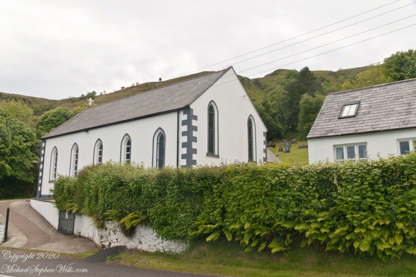
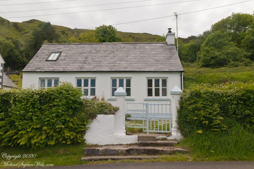
Part of Cushendun Parish, this church on Torr Road served the people of Loughan Cottages.
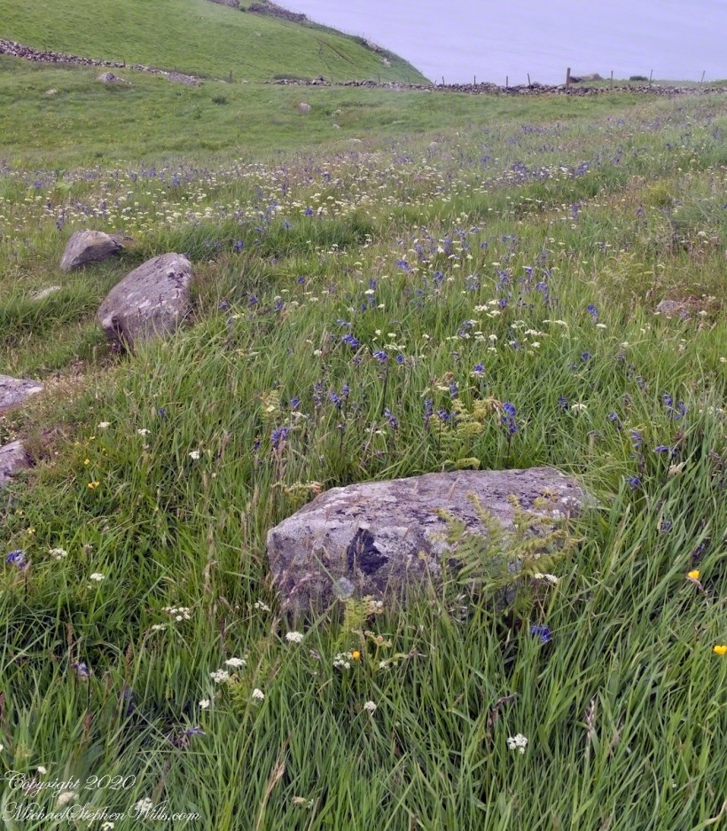
See this post for a description of wildflowers flowering here in the month of June.
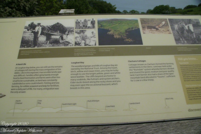
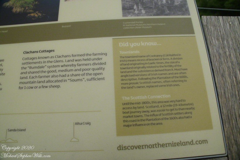
The rest of the Coolranny information placard. I used the information about wildlife on a previous post.
I have yet to correct the horizon of this view.
Facing Views
Standing on Torr Head the sights, every direction, overwhelmed the senses. With the camera I was able to capture views even today are coming into my understanding.
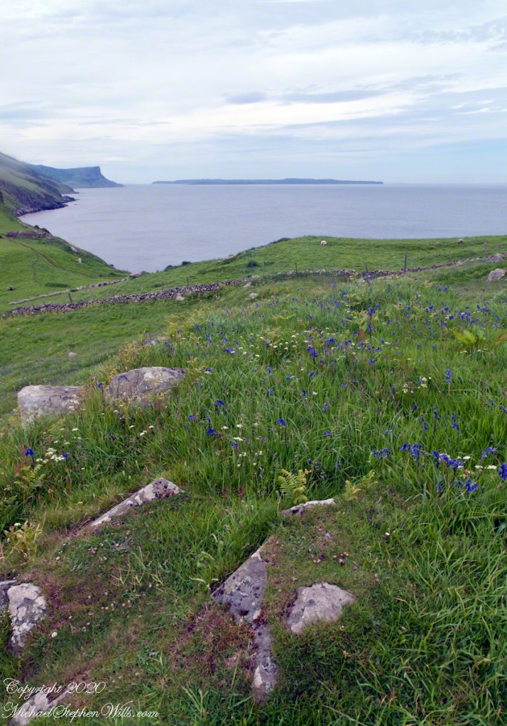
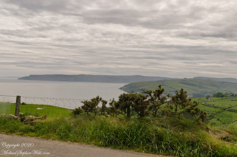
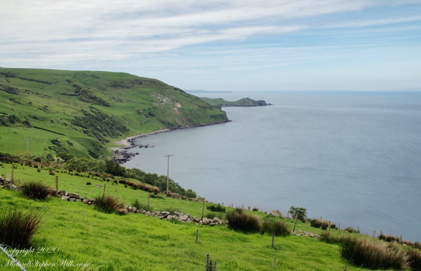
In this view south, Torcorr Townland coastal ridge runs down to the North Channel at Runabay Head. There are two bays, the nearest Portaleen Bay, between the dark, unnamed, point and Runabay Head is Loughan Bay.
Click photograph for a larger view. To do this from WordPress Reader, you need to first click the title of this post to open a new page.
See this post for a description of the foreground wildflowers.
Tor in Irish is a steep rocky height. Likewise, Corr means odd, uneven, rounder, convex, curved, peaked, projecting, smooth. Combined, Torcorr is the townland where we stopped on the Torr Road, halted by our wonder at this sight. This photograph looks toward the vantage from which the previous photograph was taken, Torr head.
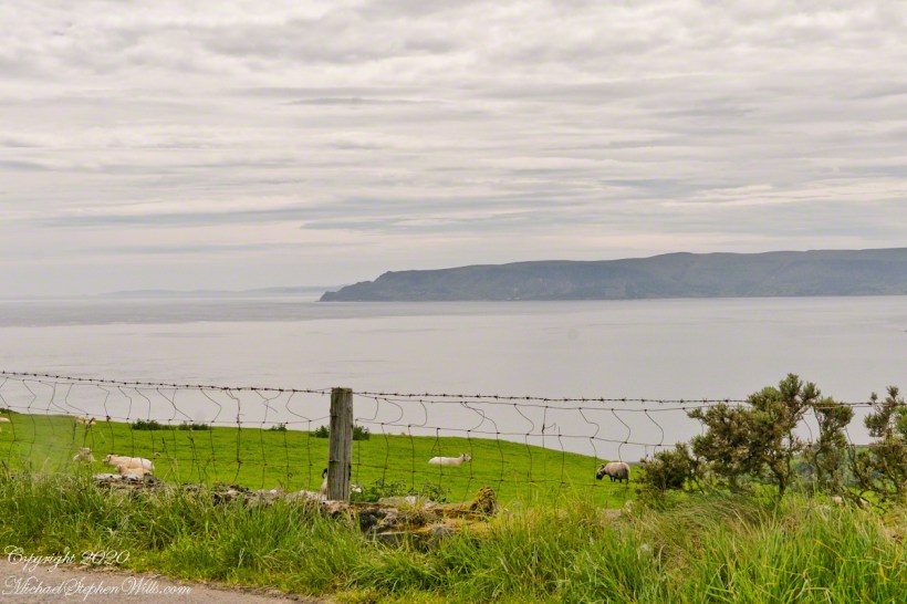
In the distance, Torr Head projects into North Channel, the closest land to Scotland. Following the coast, the unnamed point in front of Torr Head is home to numerous sea birds such as Fulmars (family Procellariidae) nad Oystercatchers (family Haematopodiadae). Along the rock beaches next Eider Ducks (genus Somateria). You might see the Common Buzzard (species Buto buteo).
The curved bay is named Loughan, above it are ruins of cottages emptied by Irish emigration.

What solutions do you see? Please post your solutions in comments. Thank You
A third technique to solve a tilted horizon, first described this post, is the counterpoint to the second technique and a variation of the first technique. Instead of building out, this solution is to crop the blank space also removing a portion of the image.
Here is a Photoshop screen capture from just before the crop is executed. The grid of fine lines is the Crop tool. For example, on the upper right corner a portion of Rathlin Island, the water, a slice of land are removed along with the blank portion.

Note from the Photoshop screen capture, the blank space along the upper margin is NOT removed. To do so will ruin the composition, the top of the hill on the upper left would be removed. Instead, I used the second technique to copy the sky over the blank portion left after cropping.
The second solution post describes how copying content onto the blank space can cause duplication of image features. In the above example, I need to perfect the image, modifying the clouds OR perfect the copy process to avoid the duplication.
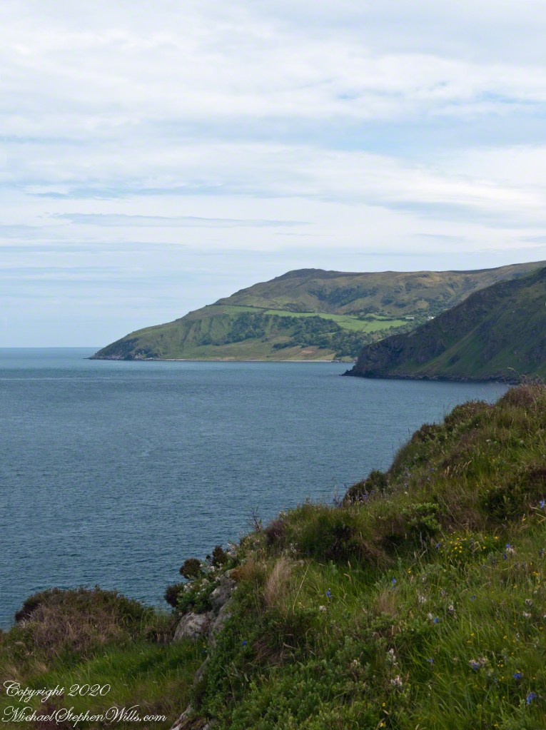
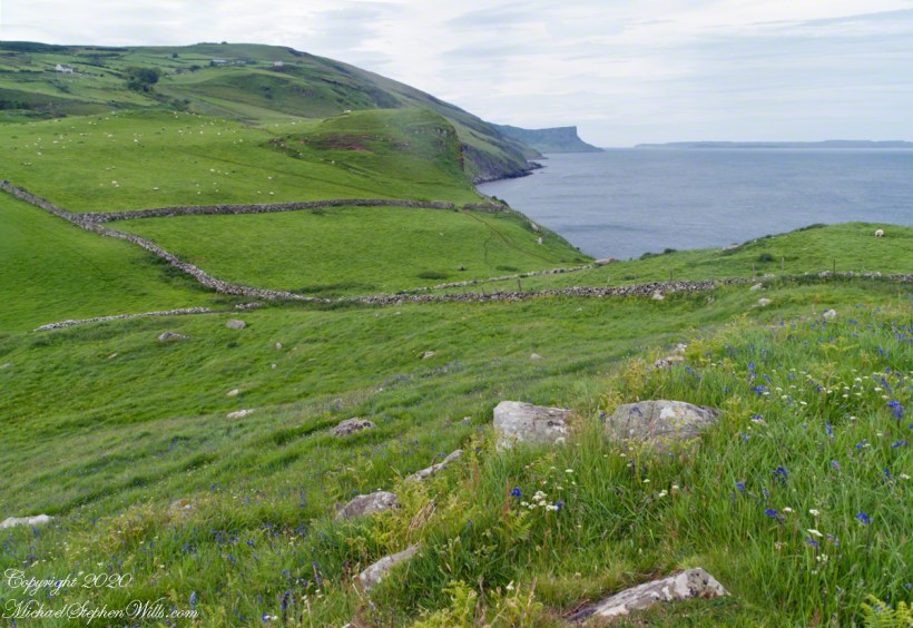
The end result is a view of wildflower meadow, foreground, coastal sheep pastures running up the high hill. Named Greenanmore, the hill is a site notable for a neolithic passage tomb. The distant land across the North Channel water is Rathelin Island.
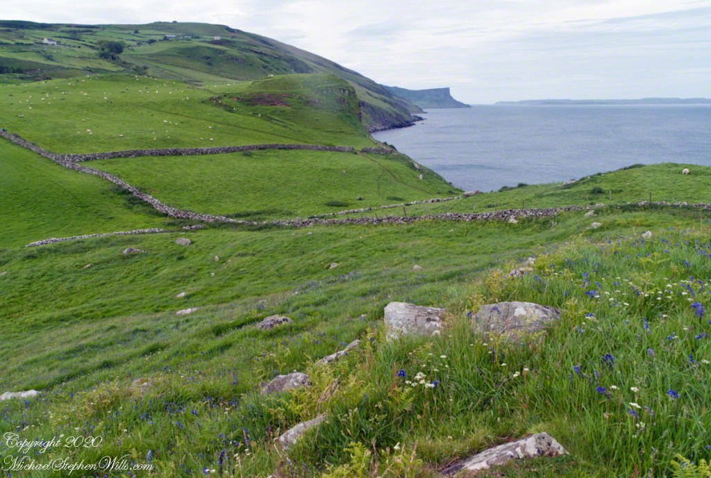
See this post for a description of the foreground wildflowers.