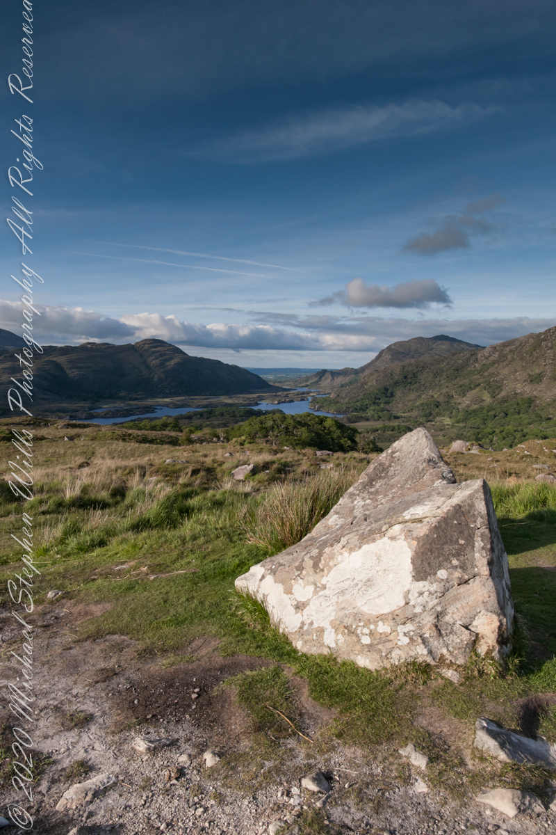
Here we are, on the road from Kenmare to Killarney, N71, part of the Ring of Kerry around the Iveragh Peninsula. The view was celebrated by Queen Victoria’s Ladies-in-Waiting during an 1861 tour of Ireland
Click pic for larger view in a new browser tab. If you are in WordPress Reader, open the post to use this feature.
Ladies View, Killarney National Park, Derrycunihy Townland, County Kerry, Republic of Ireland.
Copyright 2021 Michael Stephen Wills All Rights Reserved
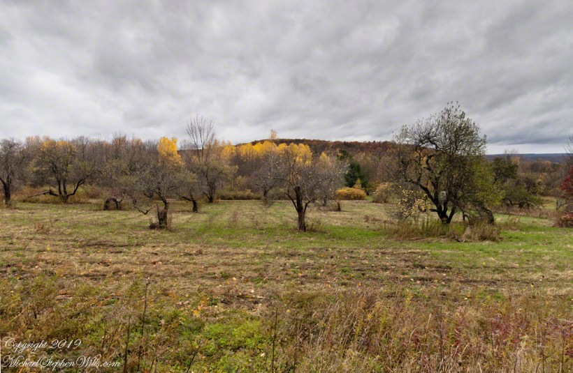
Unharvested apples on the ground and branches of this apple orchard off Black Oak Road on the slopes of Connecticut Hill, Newfield in the Finger Lakes of New York.
Click photograph for a larger view. To do this from WordPress Reader, you need to first click the title of this post to open a new page.
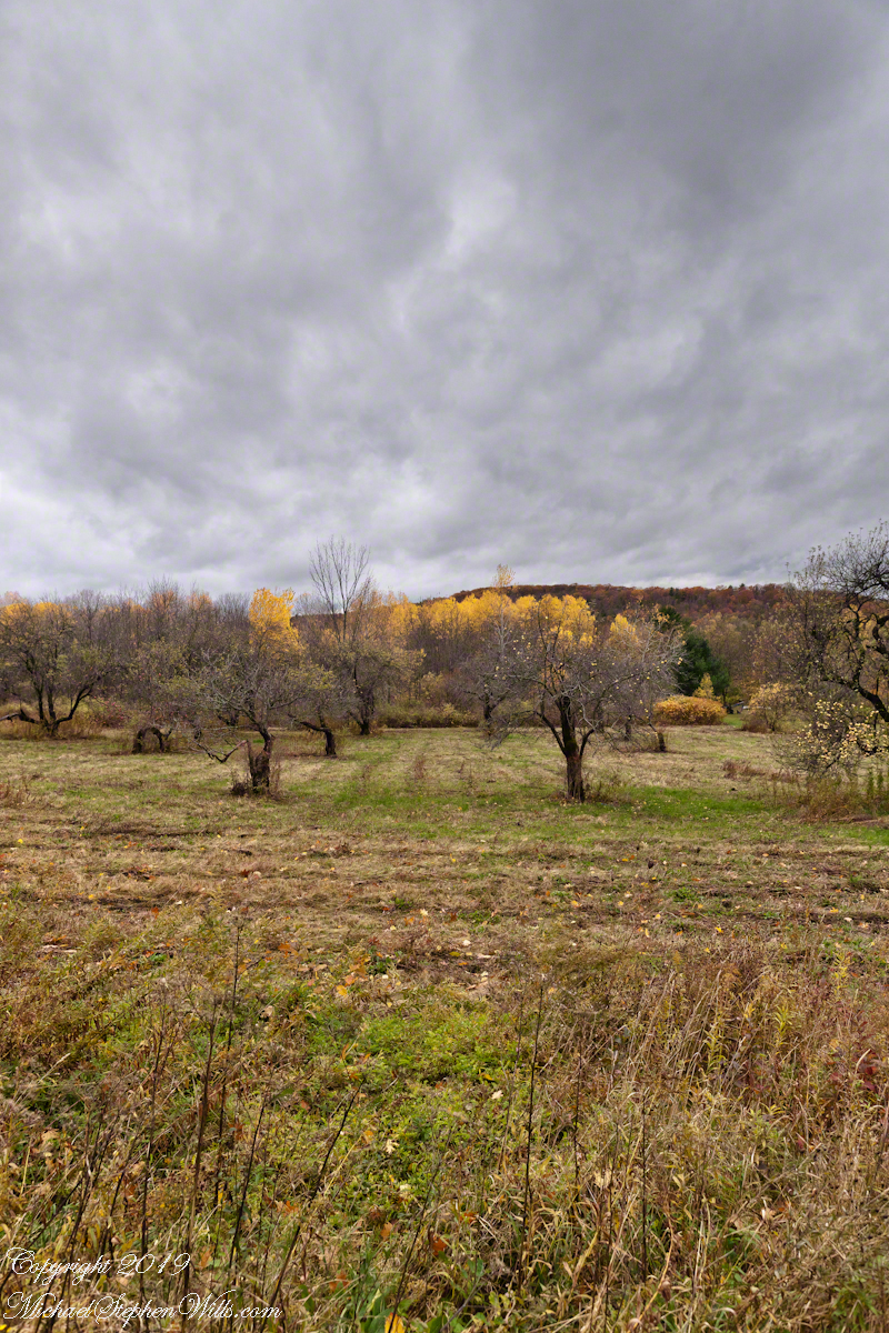
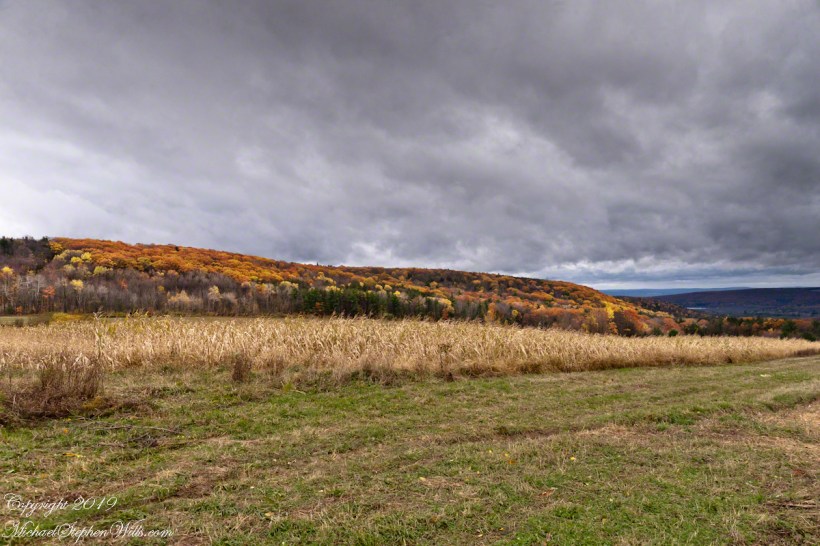
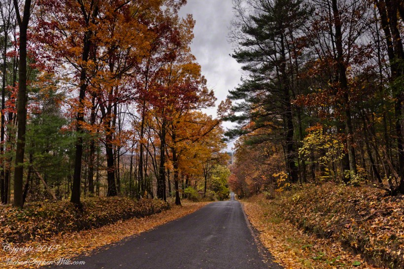
Black Oak Road approaches Connecticut Hill from the north. At this point a long view to west opens up that include Cayuta Lake and the distant highlands of Seneca Lake.
Click photograph for a larger view. To do this from WordPress Reader, you need to first click the title of this post to open a new page.
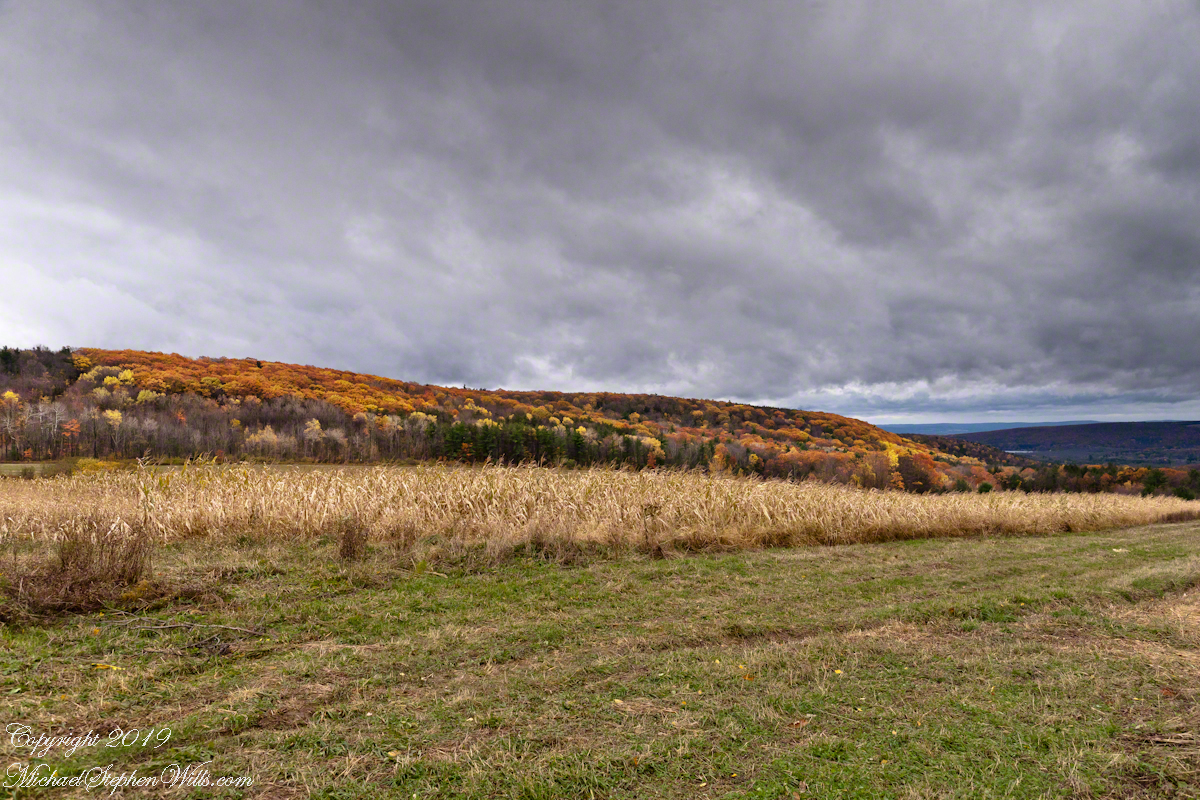
Here we have a vista of Bostwick Road descent off West hill into the Enfield valley and, then, in the distance, up Harvey Hill. Late autumn foliage graces the scene.
Click photograph for a larger view. To do this from WordPress Reader, you need to first click the title of this post to open a new page.
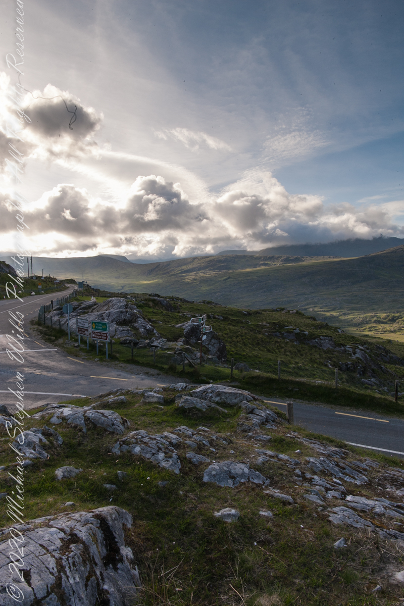
We are near Molls Gap on the Ring of Kerry. At our feet is Eric townland, there’s an epynmous Bog Nature Reserve down there.g of Kerry. At our feet is Eric townland, there’s an eponymous Bog Nature Reserve down there.
Townlands Derrylough, Crossderry and distant Bunbinnia take up most of the view. Those familiar with post-glacial topography will recognize the glacially oversteepened slopes of the distant through valley. The valley floor is a glacial outwash plain.
Click pic for larger view in a new browser tab. If you are in WordPress Reader, open the post to use this feature.
Copyright 2021 Michael Stephen Wills All Rights Reserved
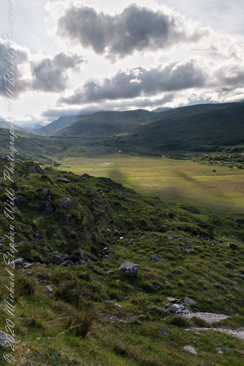
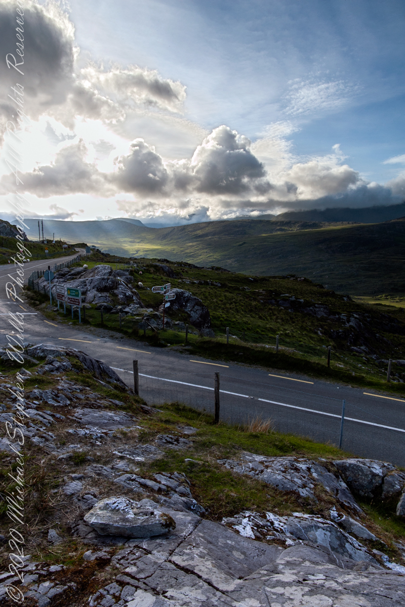
Here we are still standing in Moll’s Gap, looking a bit farther northwest into Black Valley than for View Two. Across the far mountains is Black Valley, a place so remote it was among the last, on the island itself (“mainland”) to be electrified or connected to telephone networks. Today Black Valley is a southerly route to the Gap of Dunloe well known to certain hikers and cyclists.
I am struggling here to deal with the vast range of light intensity from the glow of a westering sun, to the shadows cast by surrounding heights.
Beneath our feet are the slopes of Derrygarriff (in Irish Doire Gharbh) of the Mangerton range. Across the way is Crossderry peak of the Dunkerron mountains, the townland is named for the peak (or vice versa).
Click pic for larger view in a new browser tab. If you are in WordPress Reader, open the post to use this feature.
Here is a second try, a bit more successful as the clouds opened to shine on distant land. I did work in Photoshop to manage the brightest clouds.
Here are all three versions of the Black Valley view from Moll’s Gap. Enjoy
Copyright 2021 Michael Stephen Wills All Rights Reserved
Here is a postscript for my retrospective diary of the day I created my print “Ocotillo Sunset.” You can visit “Ocotillo Sunset” in my Online Gallery by clicking on any photograph .
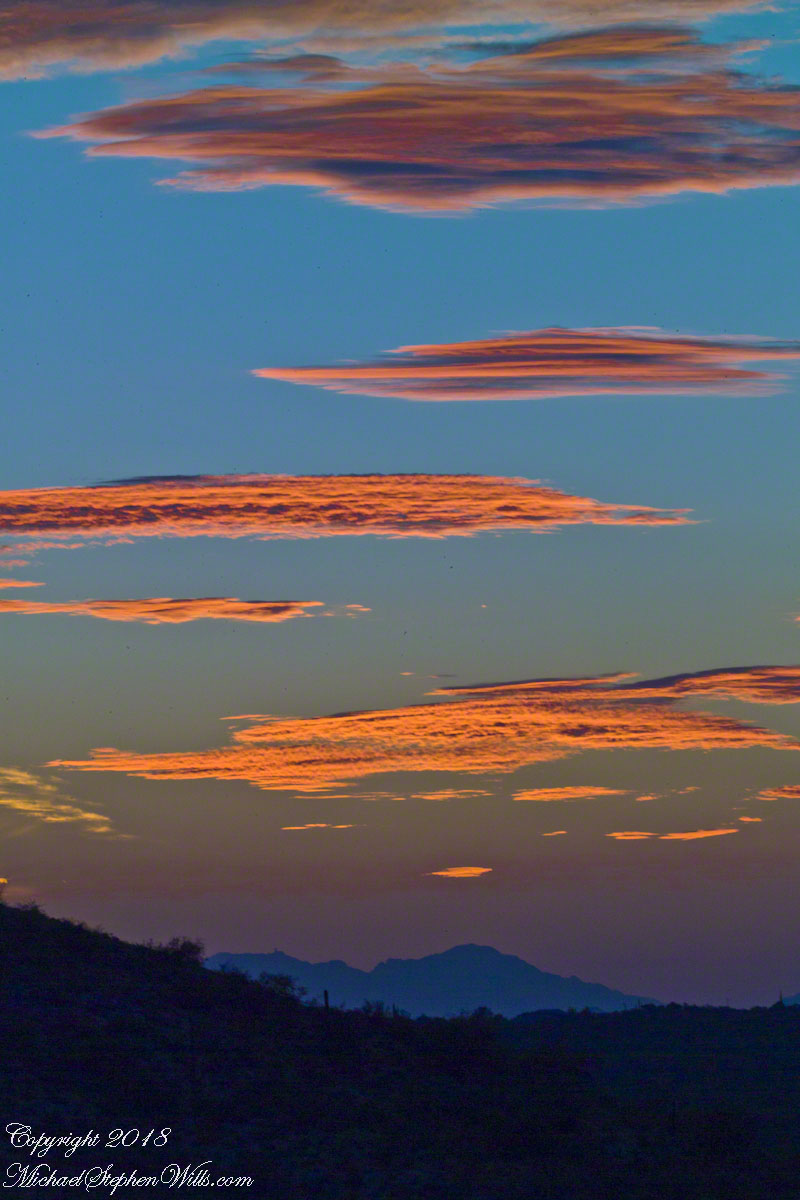
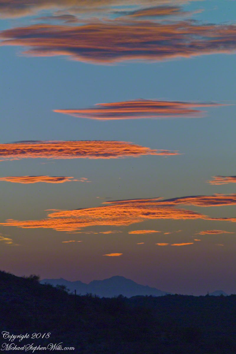
In near total darkness, the last sunlight only enough for the far western sky, these are the last shots of this series.
Click photograph to view Ocotillo Sunset in my Online Gallery
Afterglow I
Click photograph to view Ocotillo Sunset in my Online Gallery
Afterglow II
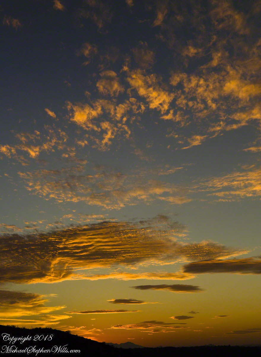
The final result of the day’s work, “Ocotillo Sunset.”
Click photograph to view Ocotillo Sunset in my Online Gallery
The penultimate posting of my retrospective diary of the day I created my print “Octillo Sunset.” You can see a large version of “Ocotillo Sunset” by clicking on any of my blog photographs.
The Flag in Formation and Realization
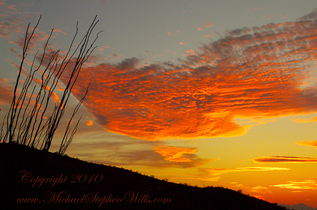
Then, for reasons I can only speculate about, a spectacular shape came together in the clouds. In the following photograph I have yet to recognize, to see, this cloud sculpture. Do you see part of “Ocotillo Sunset” coming into shape? As far as I remember, at the time I had only a dim realization of what was forming in my view finder and in front of me.
Click photograph to view Ocotillo Sunset in my Online Gallery
The Flag Forms
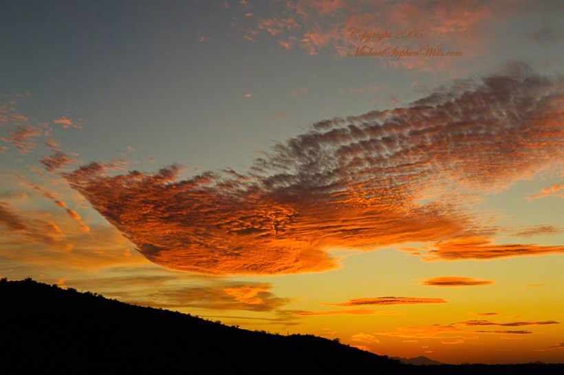
Then, I changed camera orientation and shifted the view a few degrees to the left and there it was: a coherent shape of something. Here it is in full, untethered.
Click photograph to view Ocotillo Sunset in my Online Gallery
Unanchored, a Flag or Ship
The final result of the day’s work, “Ocotillo Sunset.”
Click photograph to view Ocotillo Sunset in my Online Gallery
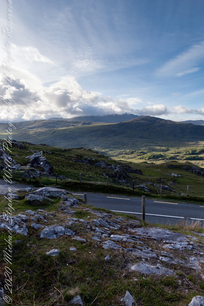
Here we are standing in Moll’s Gap, looking northwest into Black Valley, a place so remote it was among the last, on the island itself (“mainland”) to be electrified or connected to telephone networks.
Beneath our feet are the slopes of Derrygarriff (in Irish Doire Gharbh) of the Mangerton range. Across the way is Crossderry peak of the Dunkerron mountains, the townland is named for the peak. Black Valley, now a southerly route to the Gap of Dunloe well known to certain hikers and cyclists, is beyond the far mountains.
Click pic for larger view in a new browser tab. If you are in WordPress Reader, open the post to use this feature.
Copyright 2021 Michael Stephen Wills All Rights Reserved