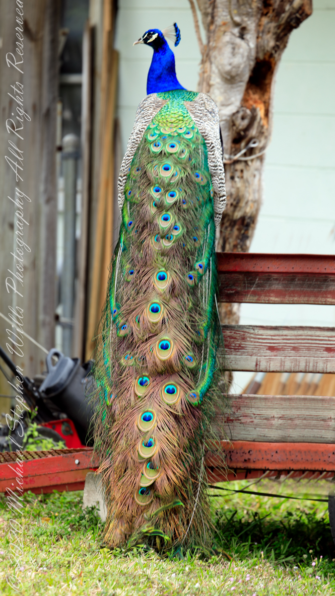
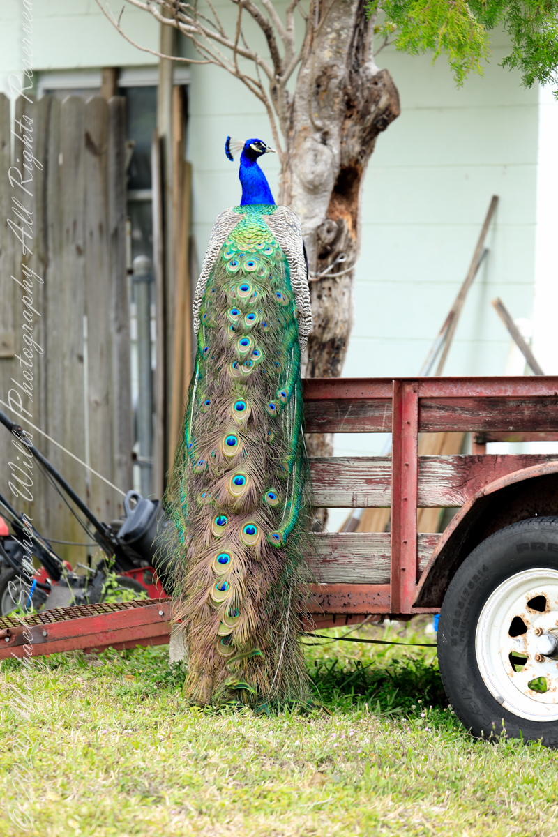
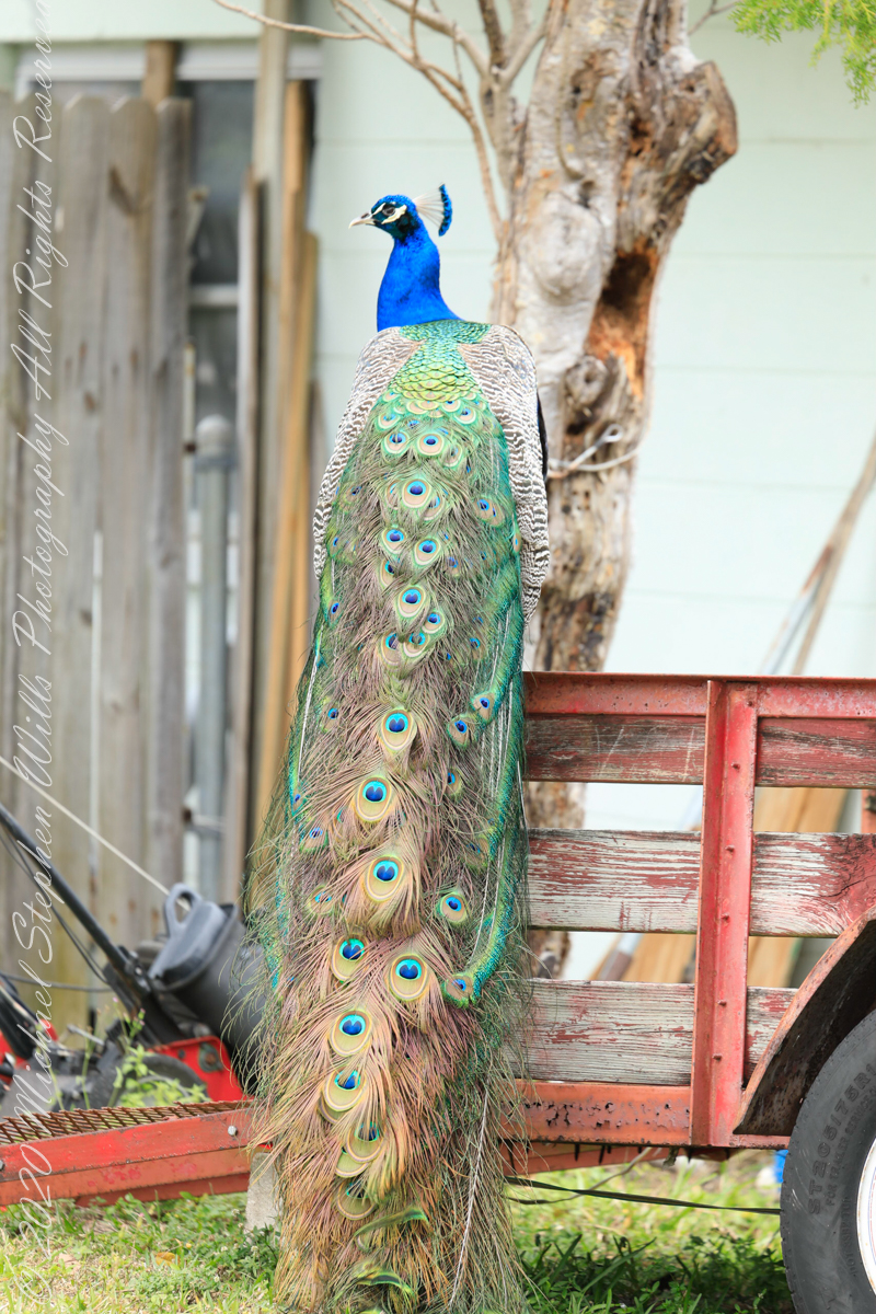
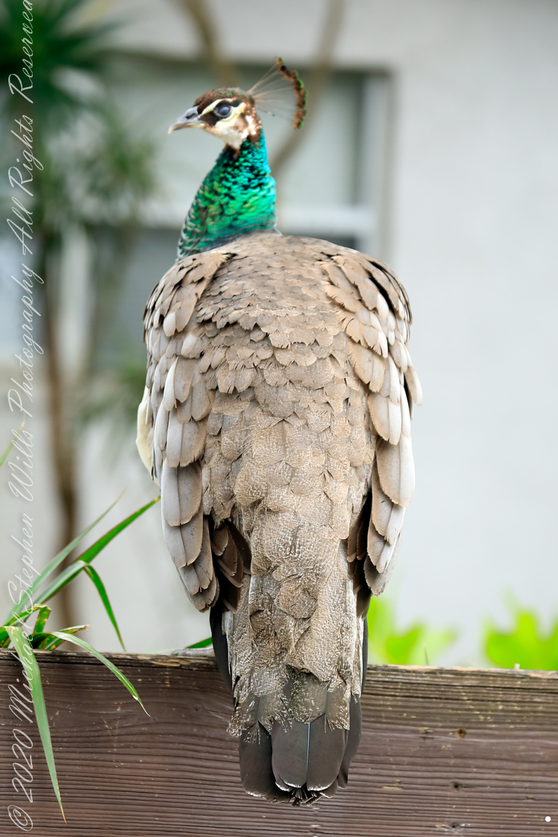
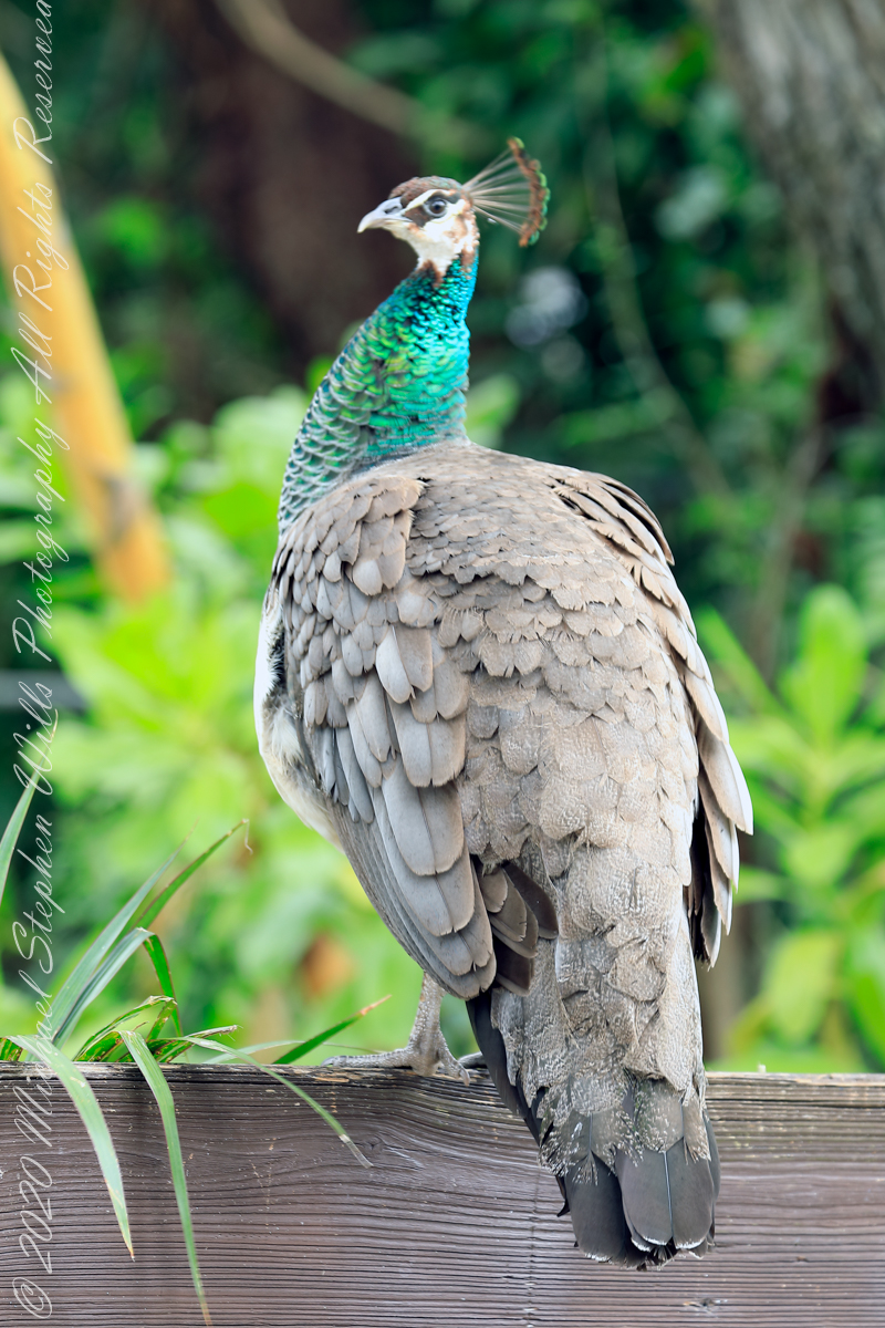
February is Peafowl mating season and for Cape Canaveral the displays were especially fine. These were captured on a photography expedition via automobile, being especially fortunate in observing peacocks (male peafowl) on high perches oriented perfectly to display the magnificent train (trail).
Here is some information on Reddit from “Mr_mayhem77 “According to locals, the Eberwein family lived between Port Canaveral and what is now the Villages of Seaport. In fact a street is actually named after them (Eberwein Drive) at the northern edge of Cape Canaveral. They had the peafowl among many farm animals. The family moved in 1986 and abandoned the peafowls. Over the years the peafowl have slowly populated our community with the greatest concentration being north of Central Ave.”
“Slumming” among lawn equipment
Copyright 2022 Michael Stephen Wills All Rights Reserved
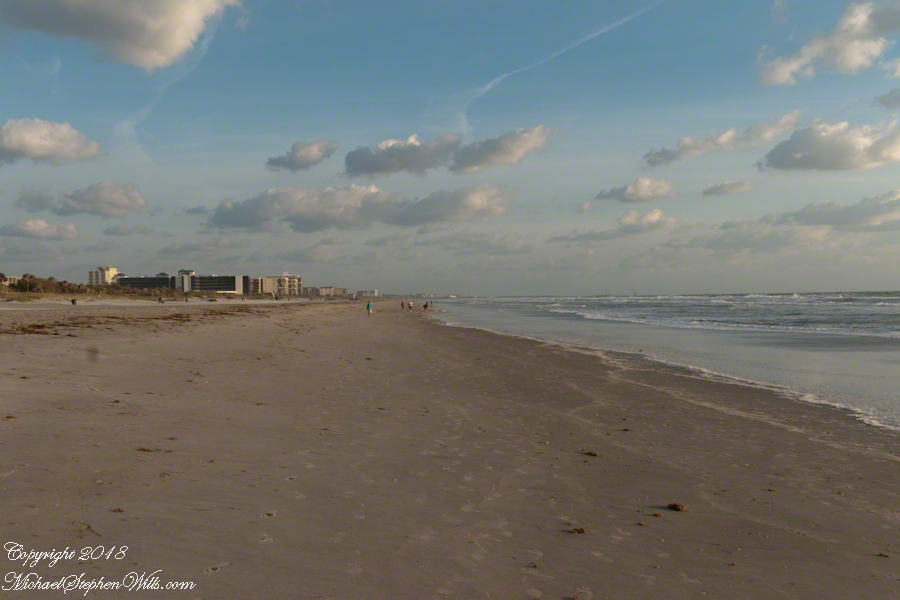
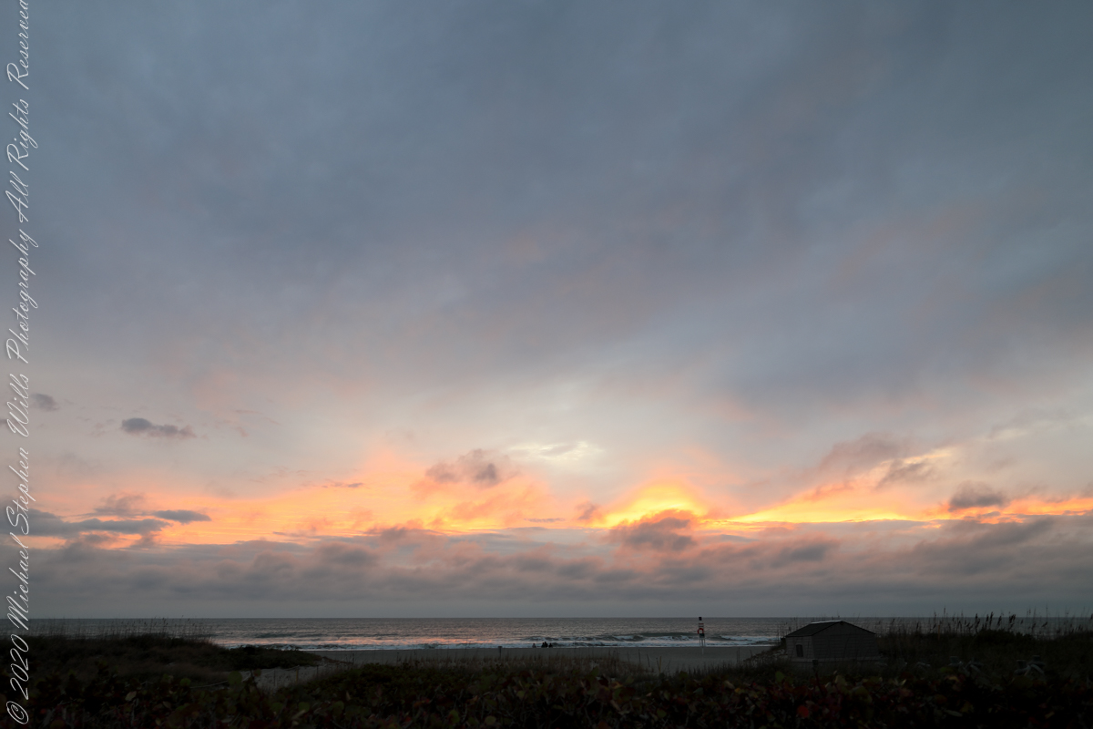
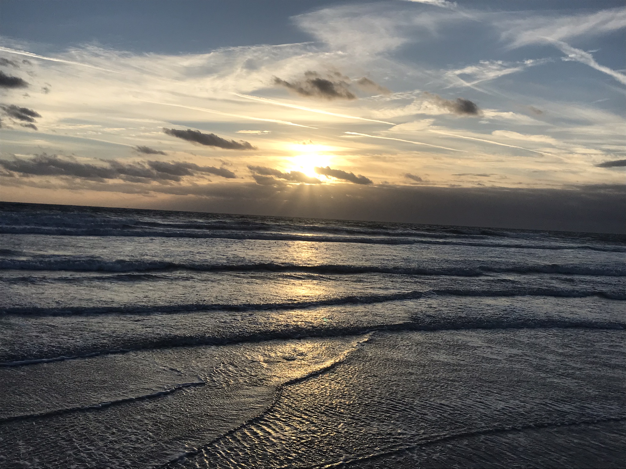
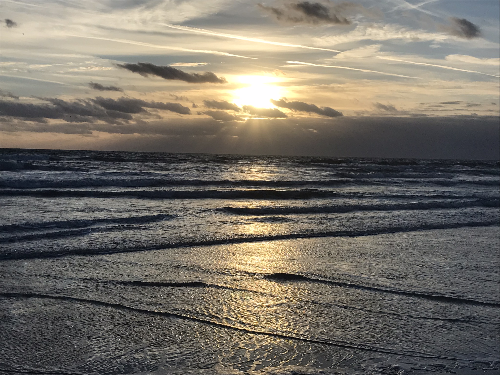
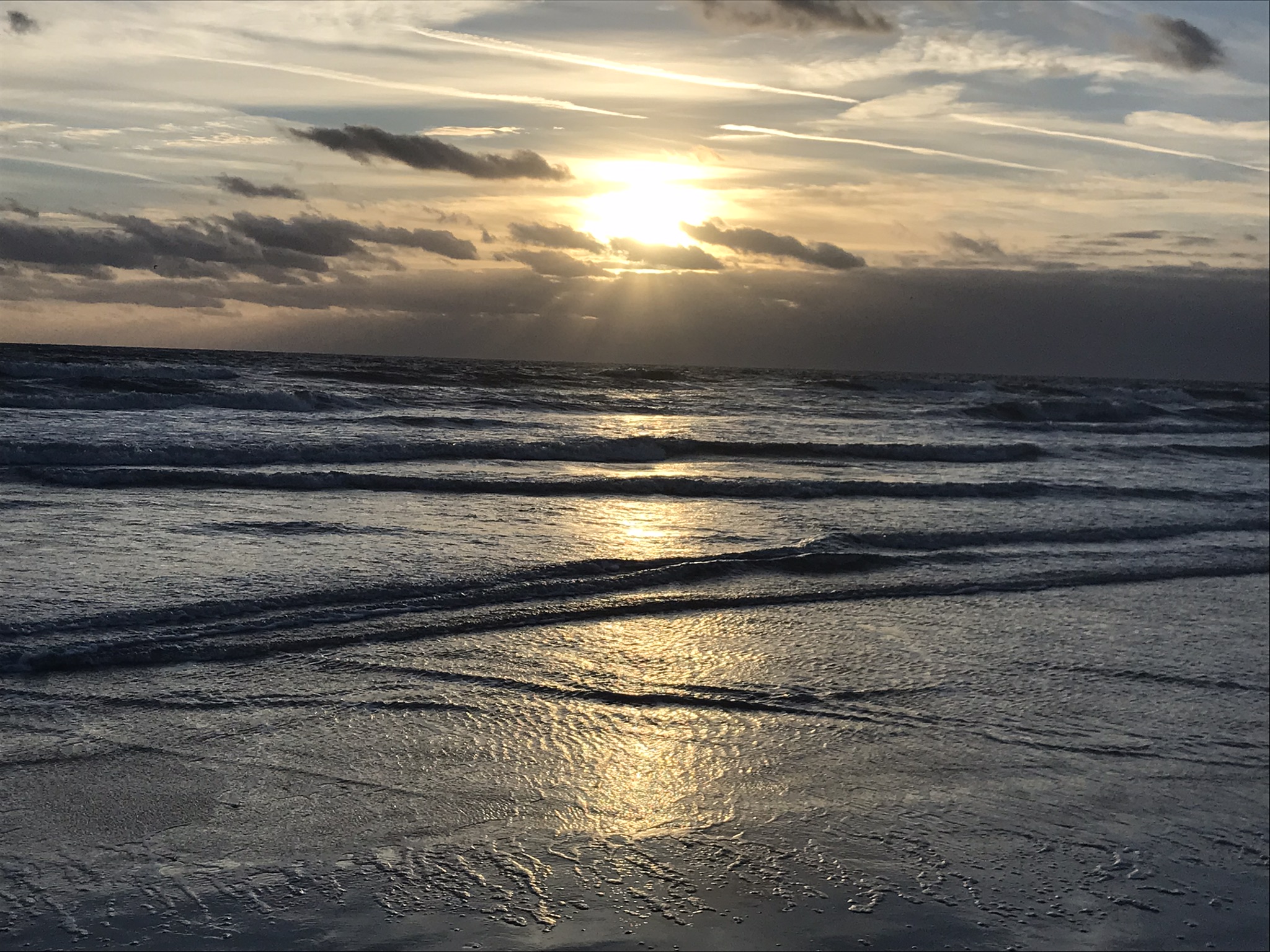
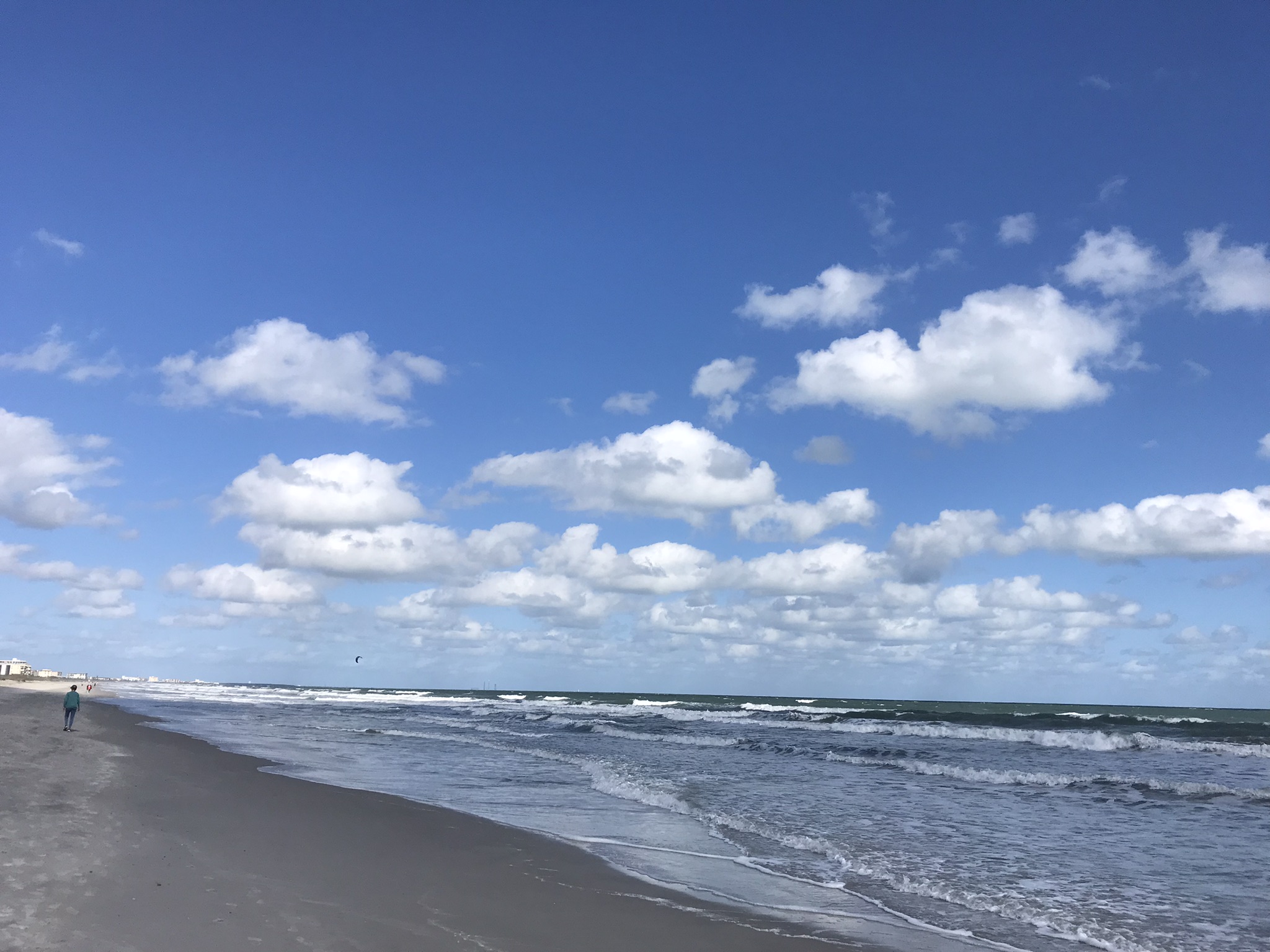
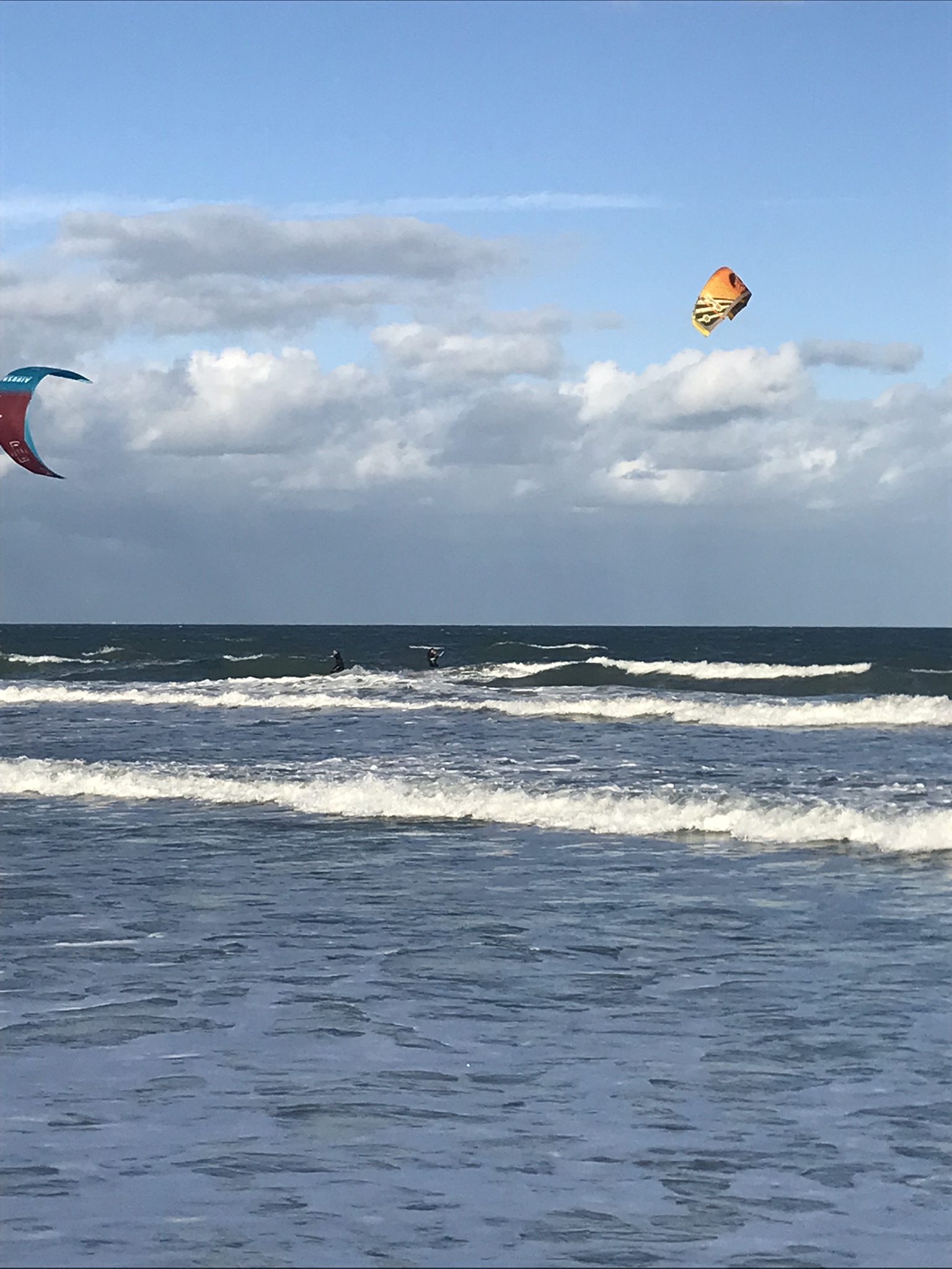
On a day February 2022 Pam and I decided to walk the beach starting from Cheri Down Park, Ridgewood Avenue, Cape Canaveral headed north toward Jetty Park hoping to catch a postponed rocket launch rescheduled for that afternoon. We were encouraged to find video news crew positioned near the park entrance as these professionals were in the know for the best spots to watch the spectacle.
We walked a mile or so, more than halfway to Jetty Park, when the word circulated the rocket launch was cancelled. Rather than turn around, we decided to explore the walkway that opens on “Peacock Beach” as Google Map listed a public parking space there, quite a bit closer to Jetty Park. This park charges a hefty entrance fee to non-residents, so we were parking at Cheri Down, we saved $10 for each mile walked.
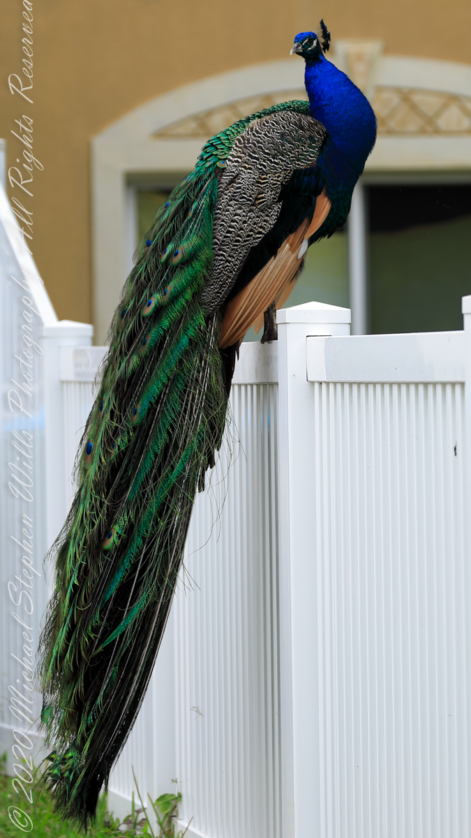
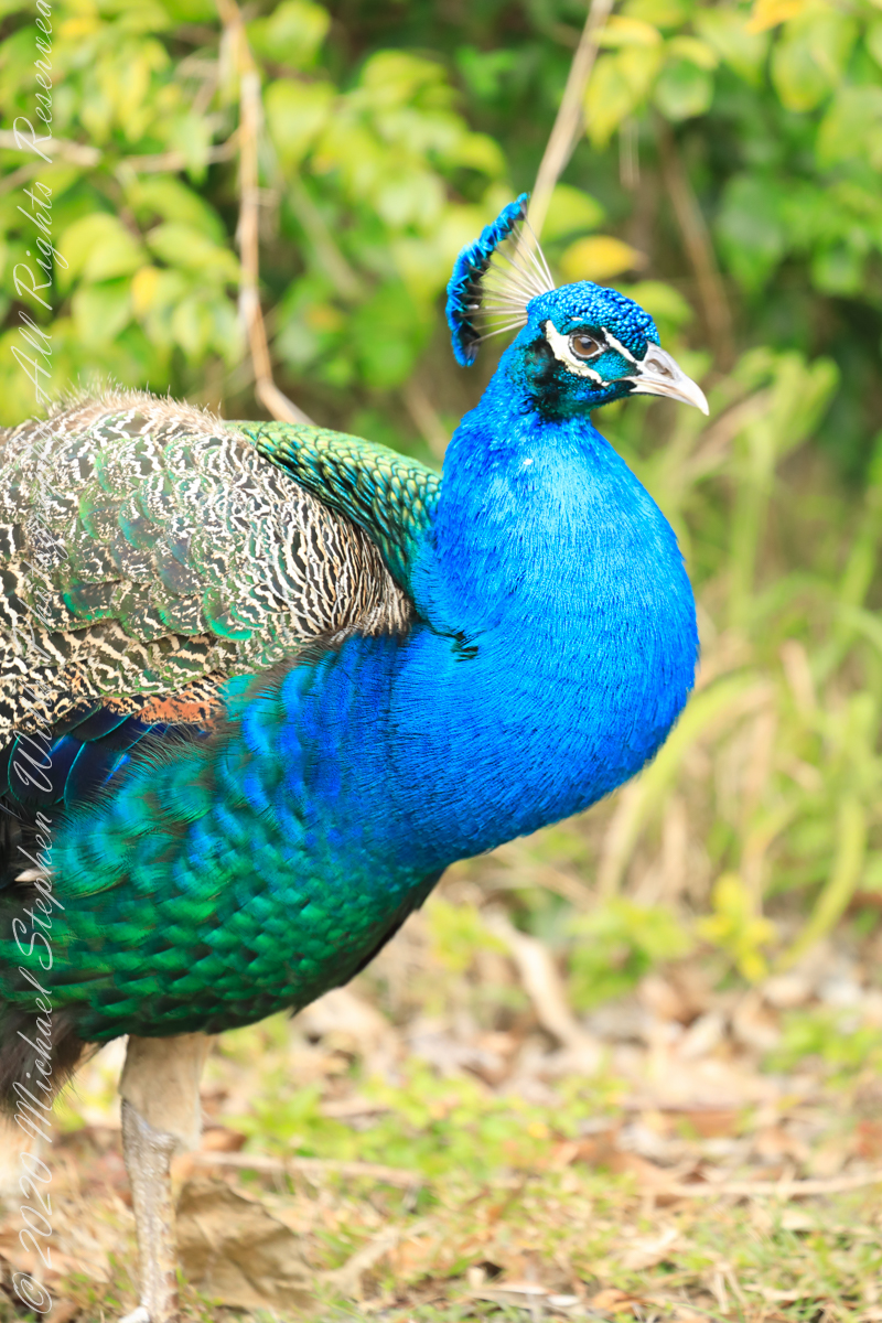
GorgeousIiridescent blue and green Dimorphism on display
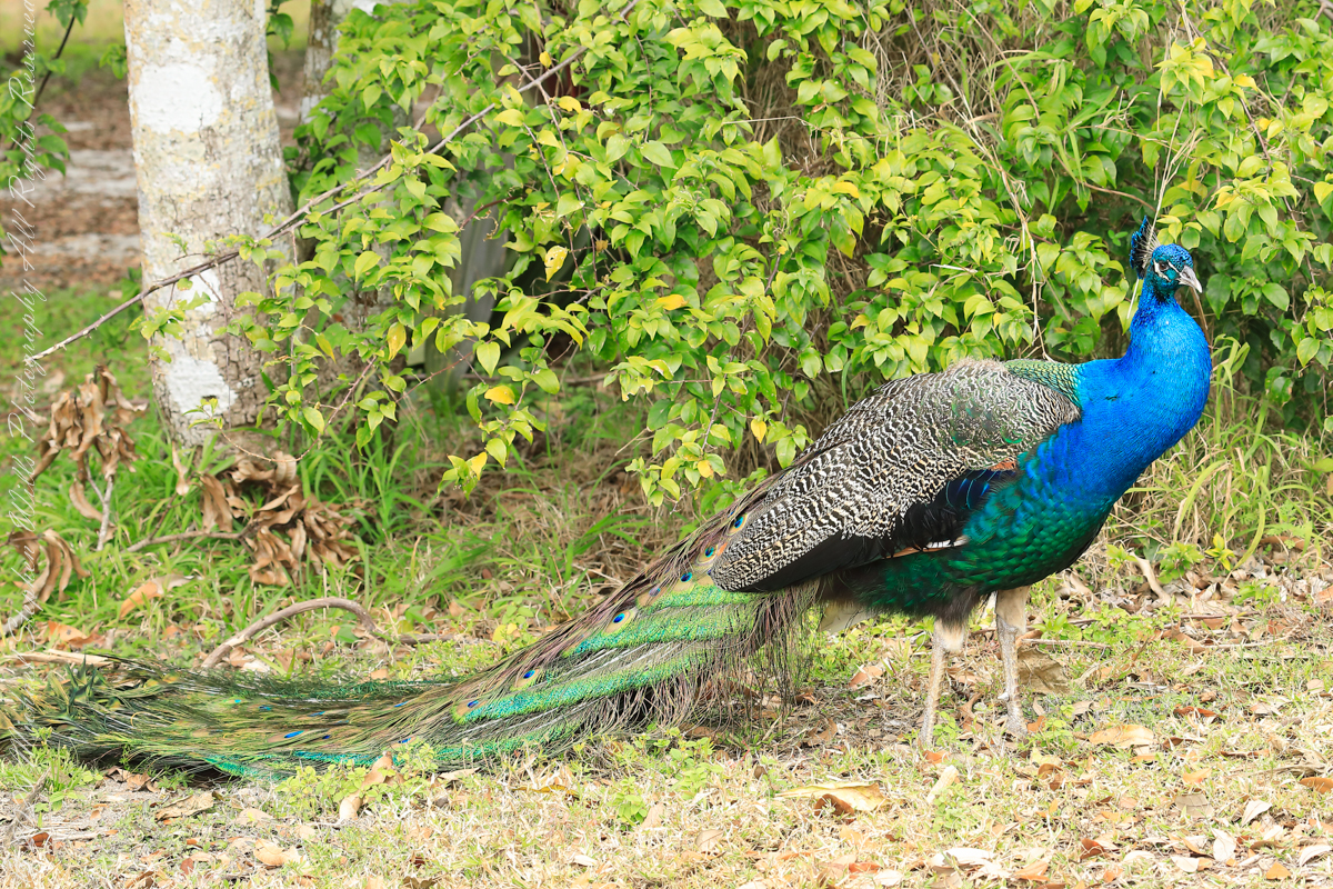
Having leisure, we decided to walk back to Cheri Down the long way. In what turned out to be a 1.7 mile stroll we encountered these residents for which the beach is named. Then and there Pam and I decided to return for a dedicated photography expedition, the results of which I will share over several posts.
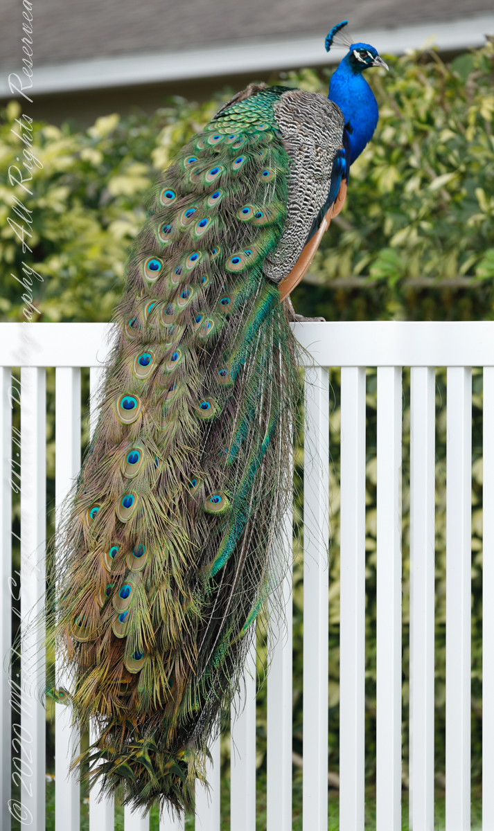
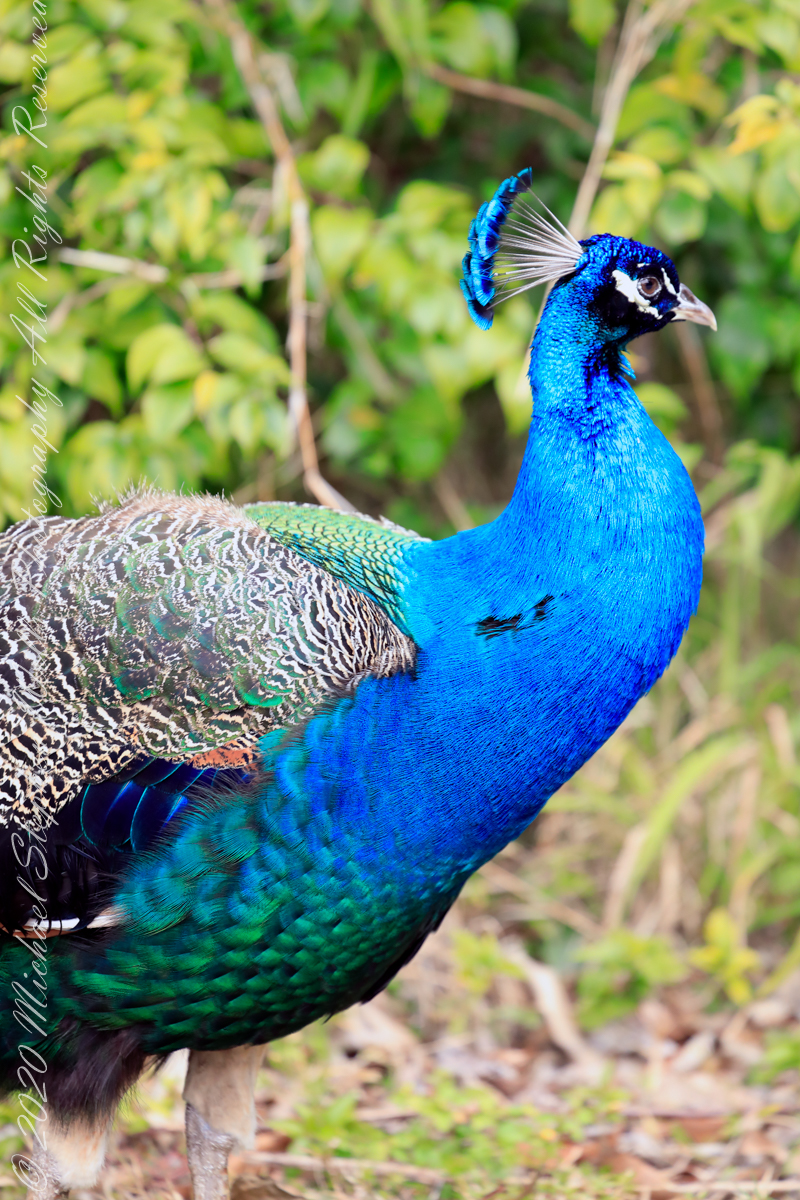
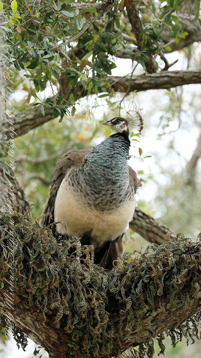
Females share the head crestIridescent green neckA bed of moss
Over the years my selection of beach texture photography has expanded. Click this link or any photograph to visit my Textures Abstracts Patterns fine art gallery.
Setting off from the International Palms Resort Pam and I turned left, walking toward the pier, about 2.5 miles away. On the left is Lori Wilson (public) Park. One benefit of this location is the lifeguard station and “protected” swimming. We have reservations about ocean swimming: Sharks? Man ‘O War?
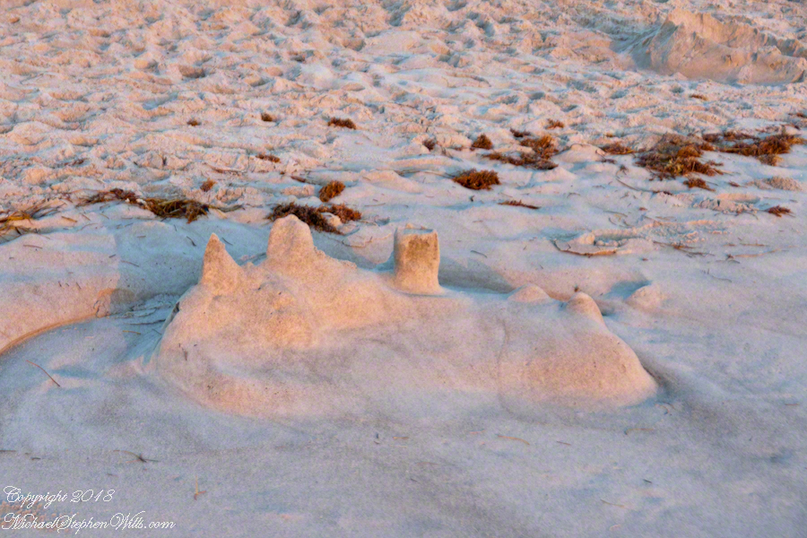
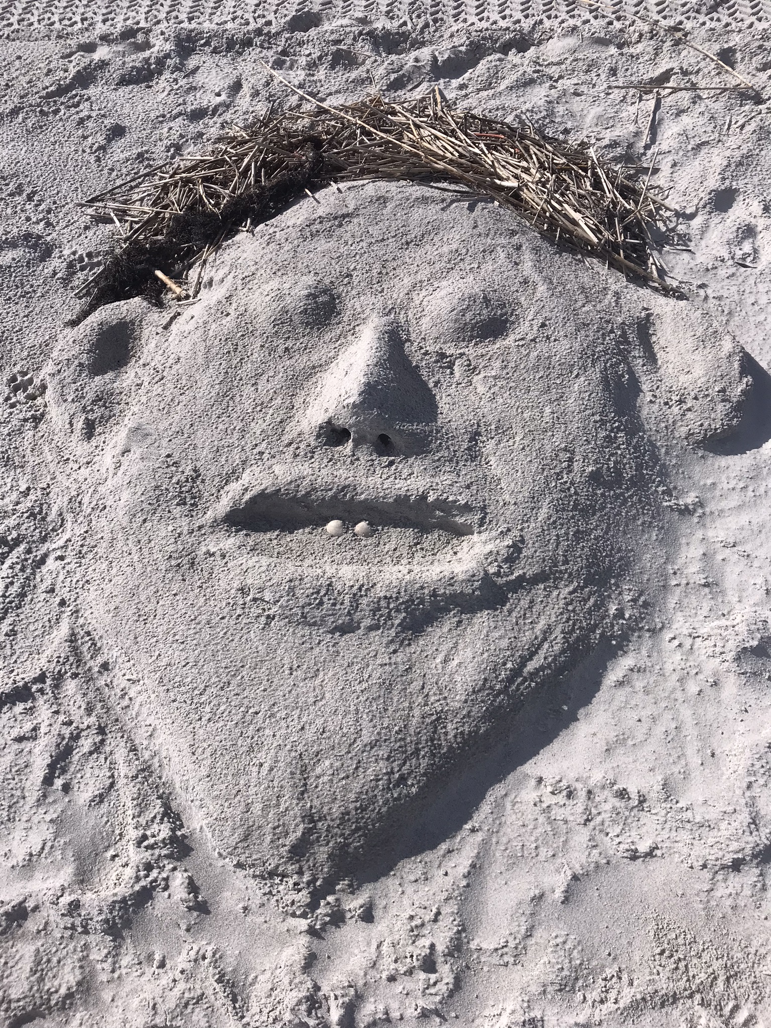
That hotel with the dark windows, on the north side of Lori Wilson Park is the Hilton. This sandcastle, washed out by high tide, caught in the dawn light, was in front of the Hilton. It brings to mind the interaction of nature and people.
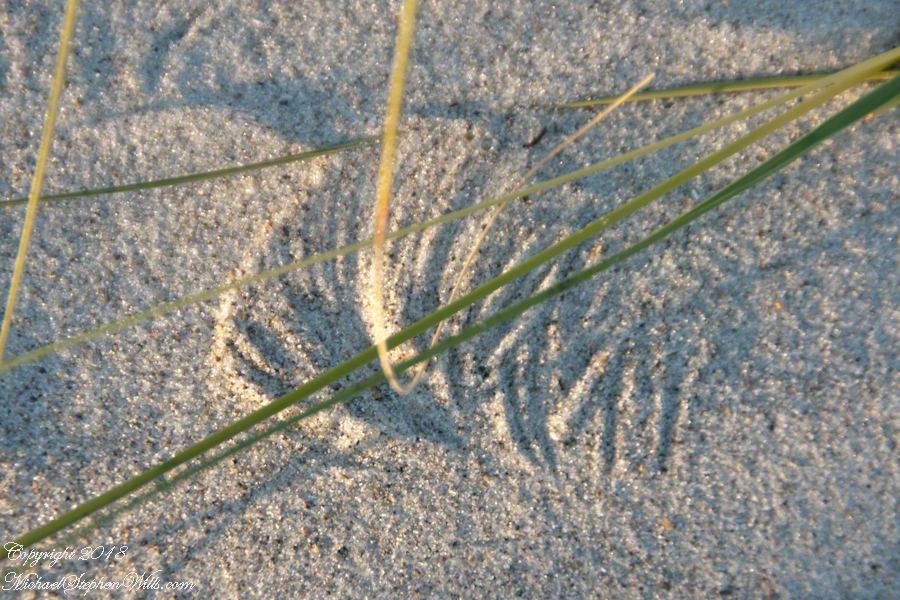
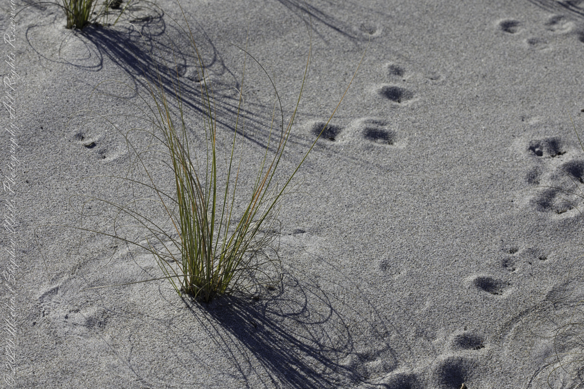
There were strong on-shore winds that day. Dune grass driven by the wind made this pattern.
Click photo to visit my Fine Art Gallery
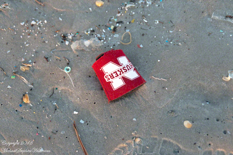
The wind and tide washed ashore all sorts of man-mad junk.
These small pieces of plastic washes off distant islands by hurricanes, the plastic ground up into bits.
The branded drink holder, the “corn huskers” of the University of Nebraska Lincoln, does not speak well for the alumni as these are sold locally. Community-minded people walk the beach with bags, picking up the bigger stuff.
When the wind changed the small plastic washed out with the next high tide and the beach was cleared.
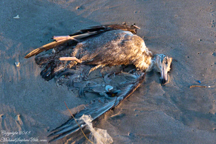
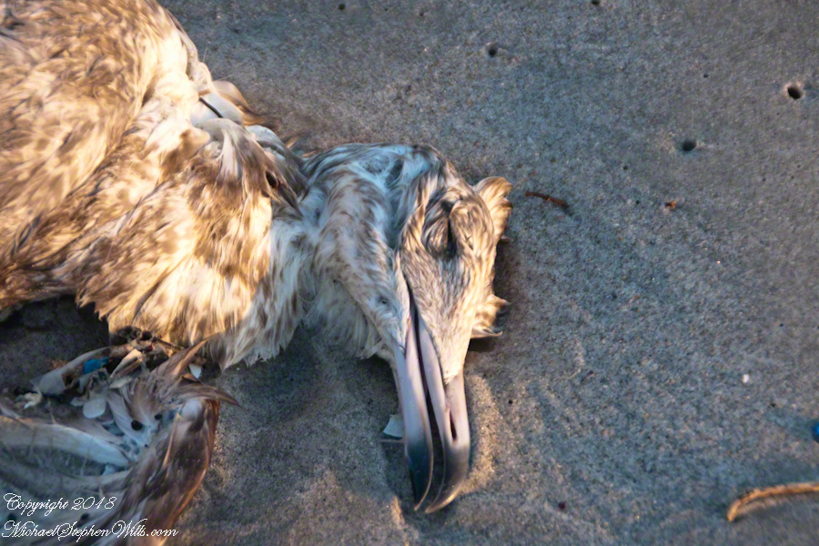
Corpse of a gull with ground up plastic bits.
The gull beak has the same cruel beauty in death as it does in life.
Click photo to visit my Fine Art Gallery
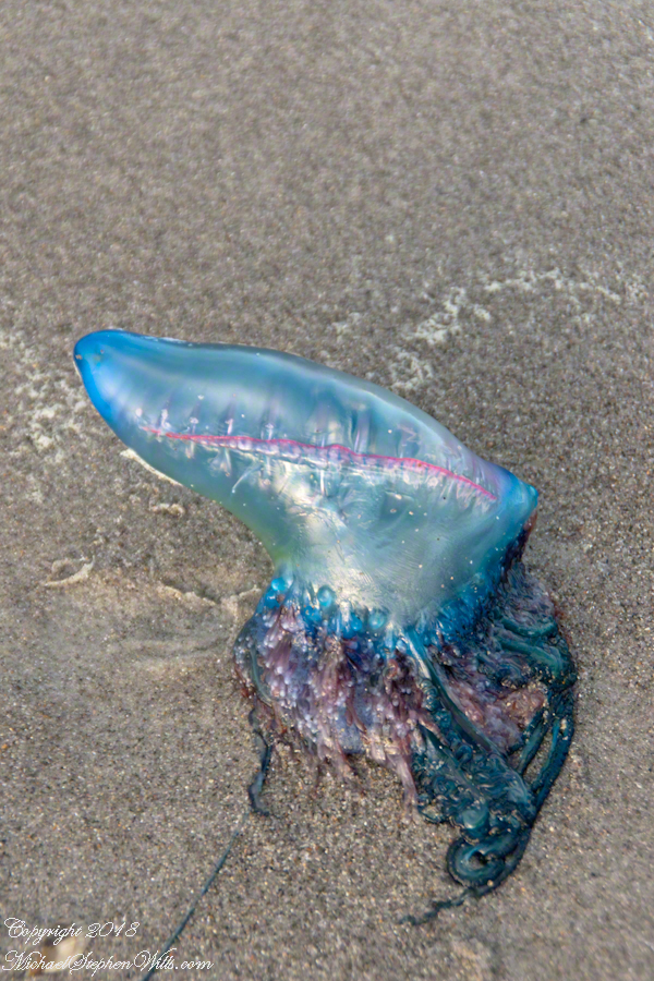
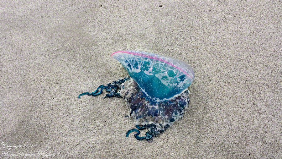
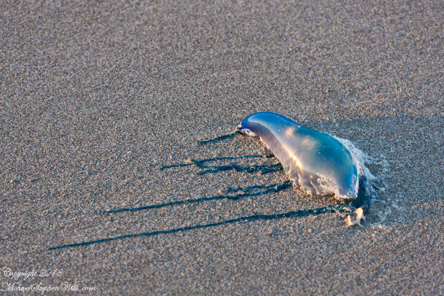
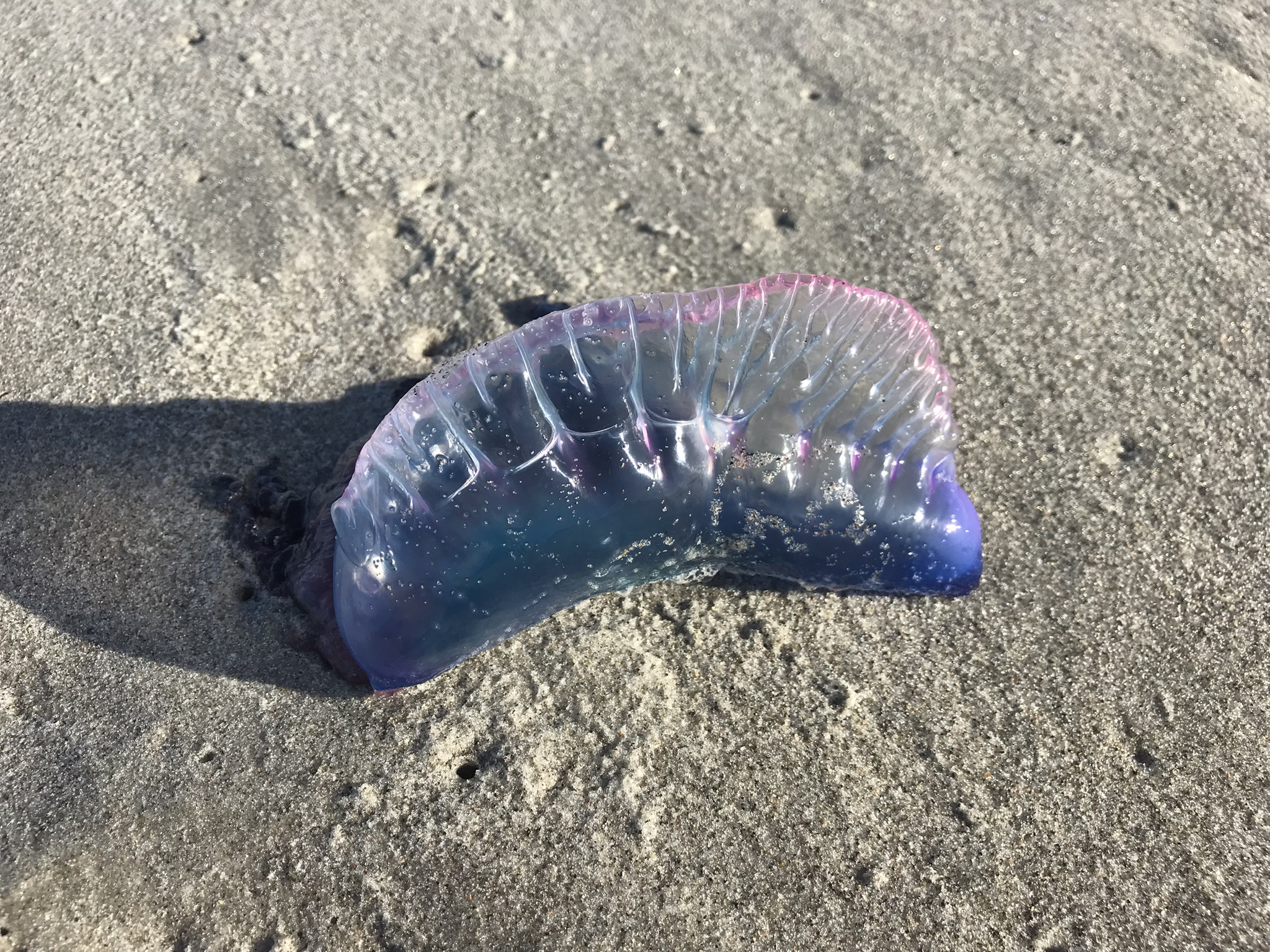
The wind drove ashore living creatures, left them on the beach to dry out or as food for crabs and gulls. After a Man Of War washes up on a beach it is still dangerous. Long tentacles extend from the body and can deliver painful stings.
The person walking around these tentacles is wisely wearing shoes, as I can tell from the footprint shape.
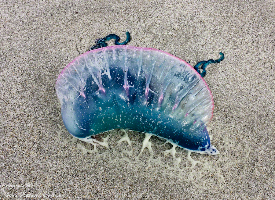
Each such tentacle is threaded with stinging, venom-filled structures coiled, like a spring, ready to pump venom into the victim for the purpose of feeding, catching larval and small fishes and squids.
These structures, called nematocysts fire on contact and do not differentiate targets be it a human foot or a squid.
Click photo to visit my Fine Art Gallery
The crest of the Portuguese Man of War is very visible in the water, the sac can be inflated/deflated to catch the wind or even sink the organism to escape surface feeders. The fanciful resemblance of the floating crest to a sailing ship is the origin of the organism’s popular name. The scientific name is Physalia physalis. While it appears to be a single creature, it is actually several working together for common benefit.
In Australia they call these baddies “blue bottles.” So descriptive.
We talked with life guards about first aid procedure, for the stings, and were not comforted by their ignorance. We had done the research ourselves. Be informed before you step onto the beach. Do not expect well informed assistance in the case of a sting, pre-arm yourself with knowledge.
Click photo to visit my Fine Art Gallery
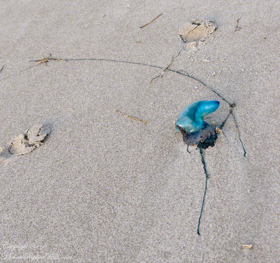
This is an especially dangerous configuration of a beached Man O’ War (also known at Floating Terror): a blue balloon with strings trailing from it. Young children will see the balloon and want to grab or play with it. If we see tourist families with young children, when these are around, we will go out of our way to warn them.
These disconcerting findings on the beach do not diminish our enjoyment of the environment, instead we are left with a greater appreciation and respect for the ocean.
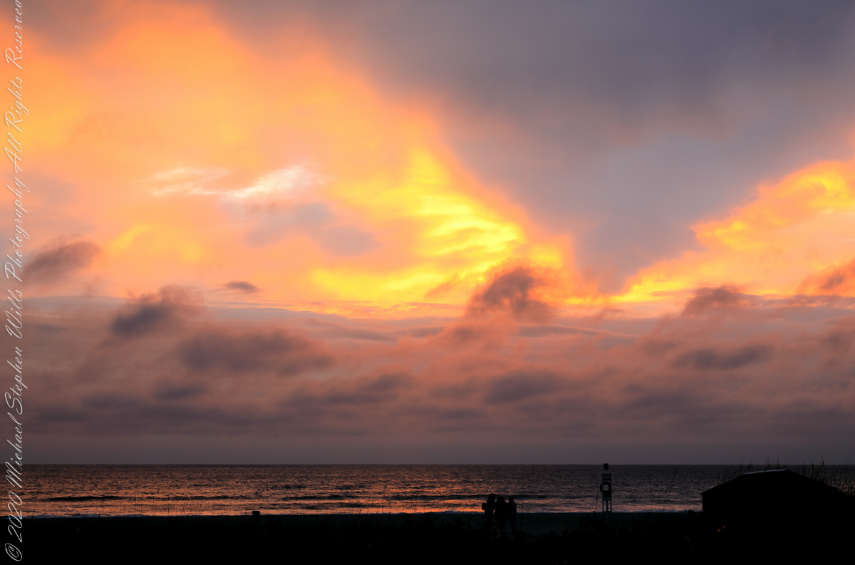
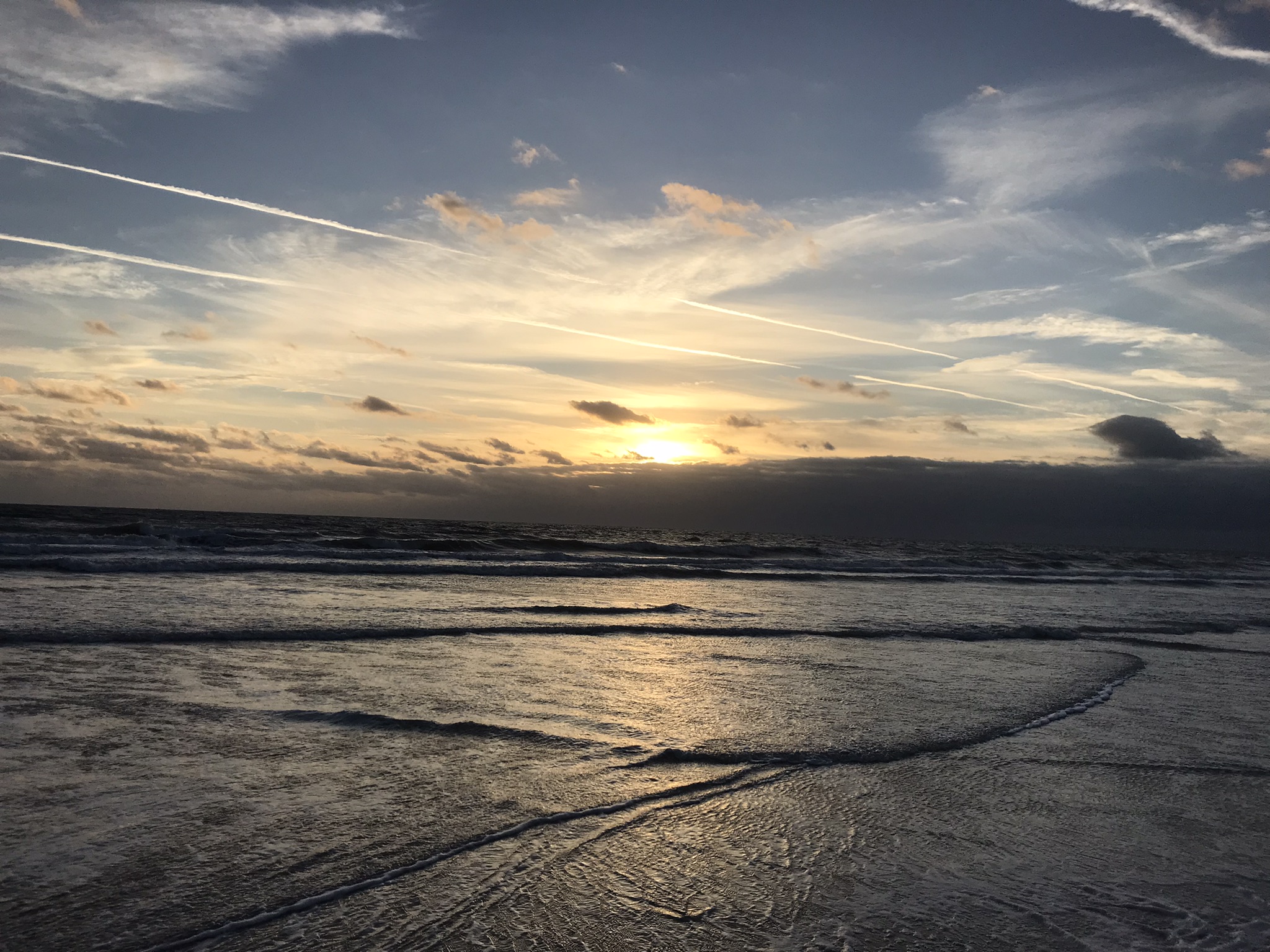
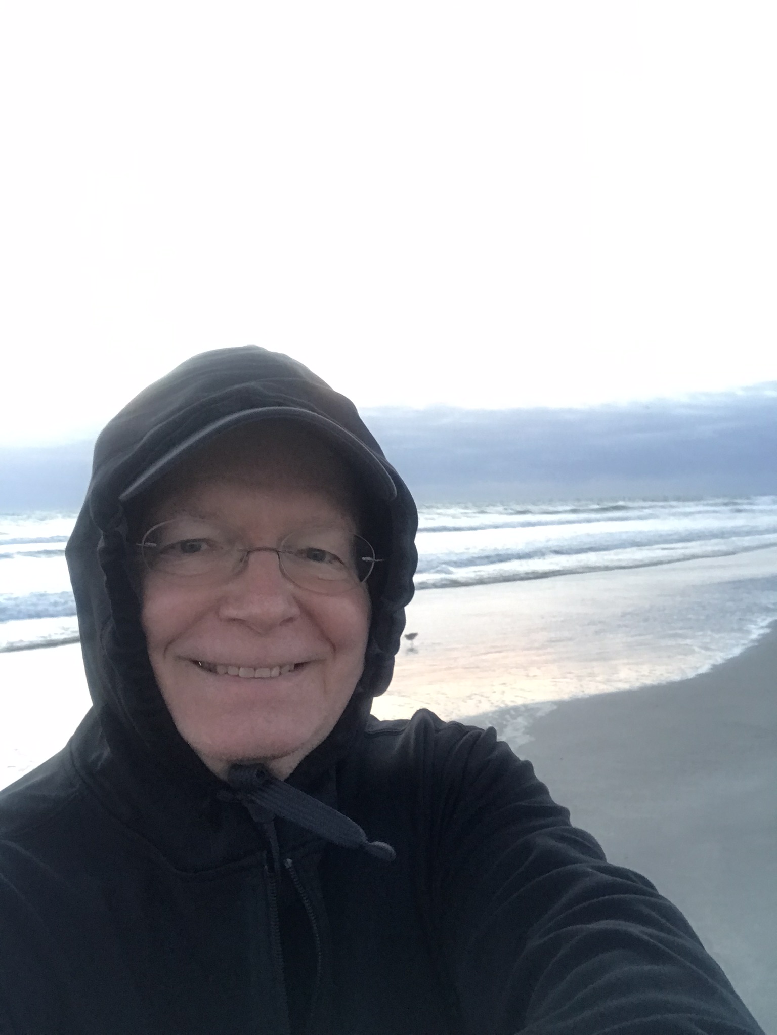
Dunes welcome us home after a successful sunrise photo shoot.
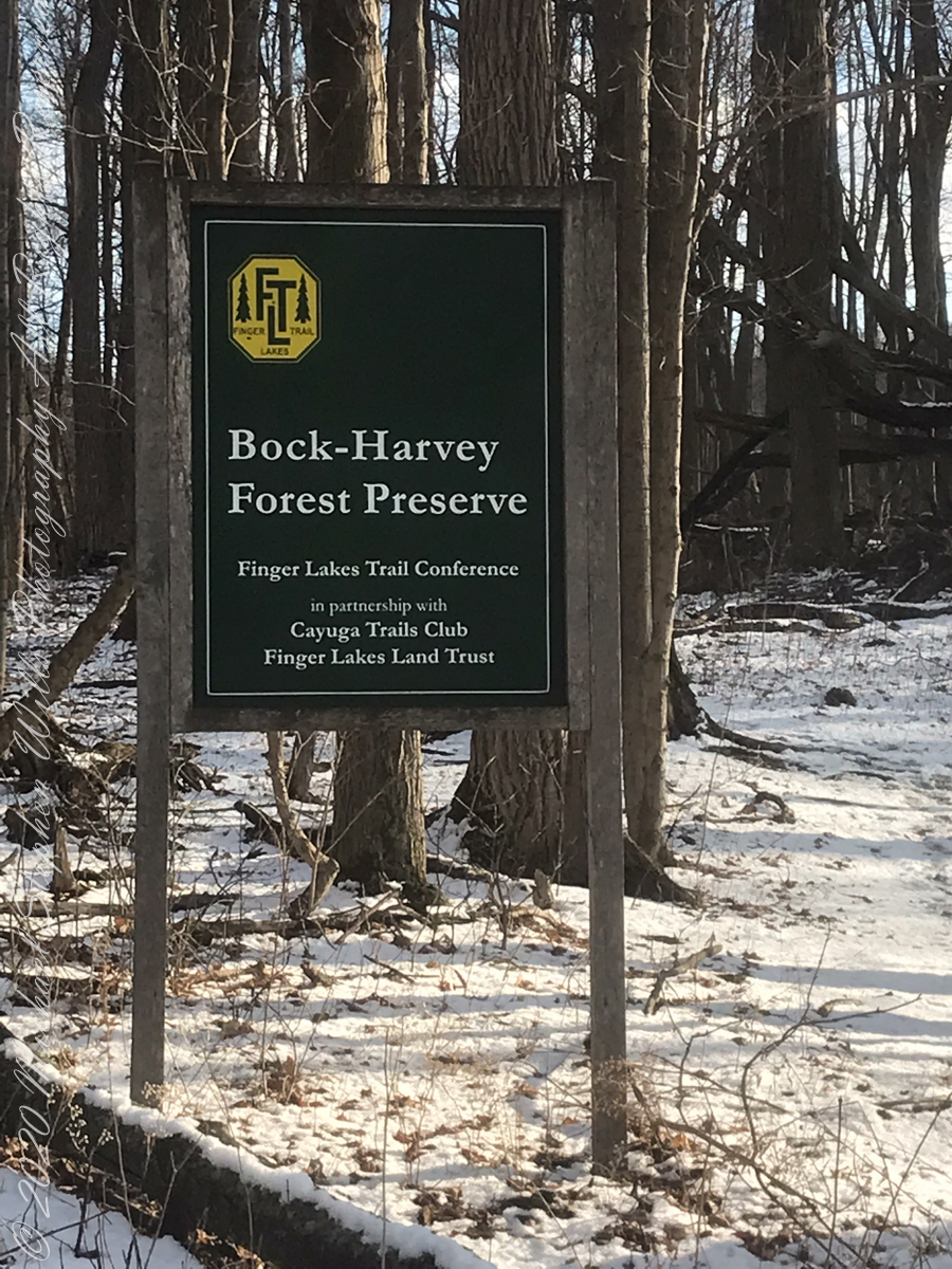
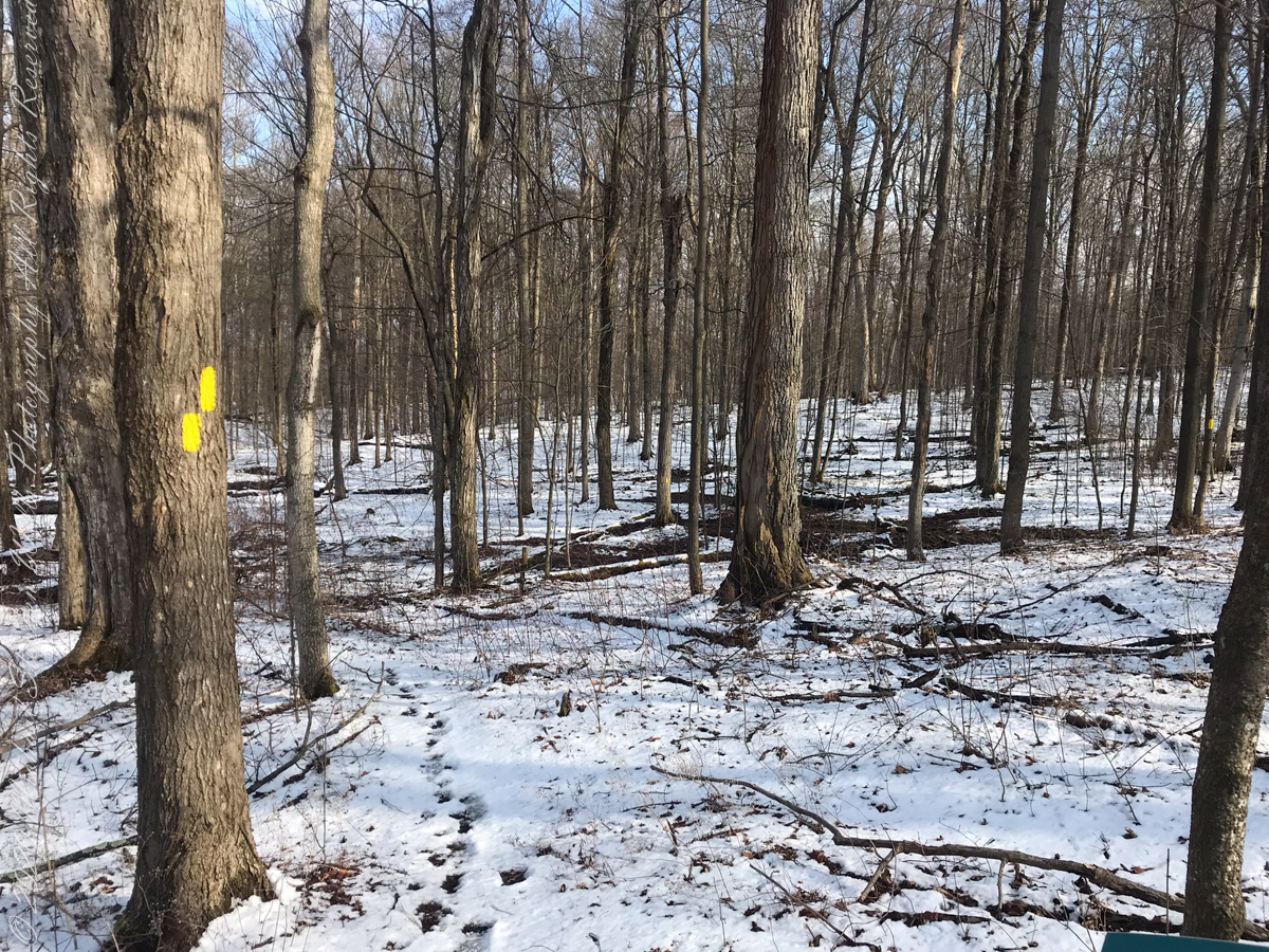
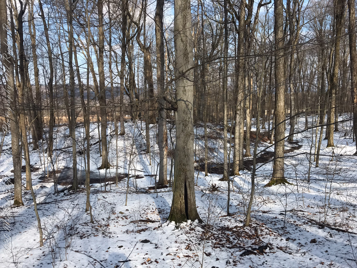
On September 14, 2013, the Bock-Harvey Forest Preserve was dedicated protecting 48 acrea of open meadow, transitional meadow, mixed hardwood forest, a special environmental protection zone and the Finger Lakes Trail. Brock-Harvey Forest Preserve, and all land as far as the eye can see from there, was part of the Military Tract of Central New York, 28 townships given classical Greek and Roman names, each township 100 lots of 600 acres each, approved by the U.S. Congress 1799. Here, the township was Ulysses, encompassing the southern end of Cayuga Lake and surrounding lands. Thus, the city of Ithaca and Hector Street winding up from the valley passing below our home.
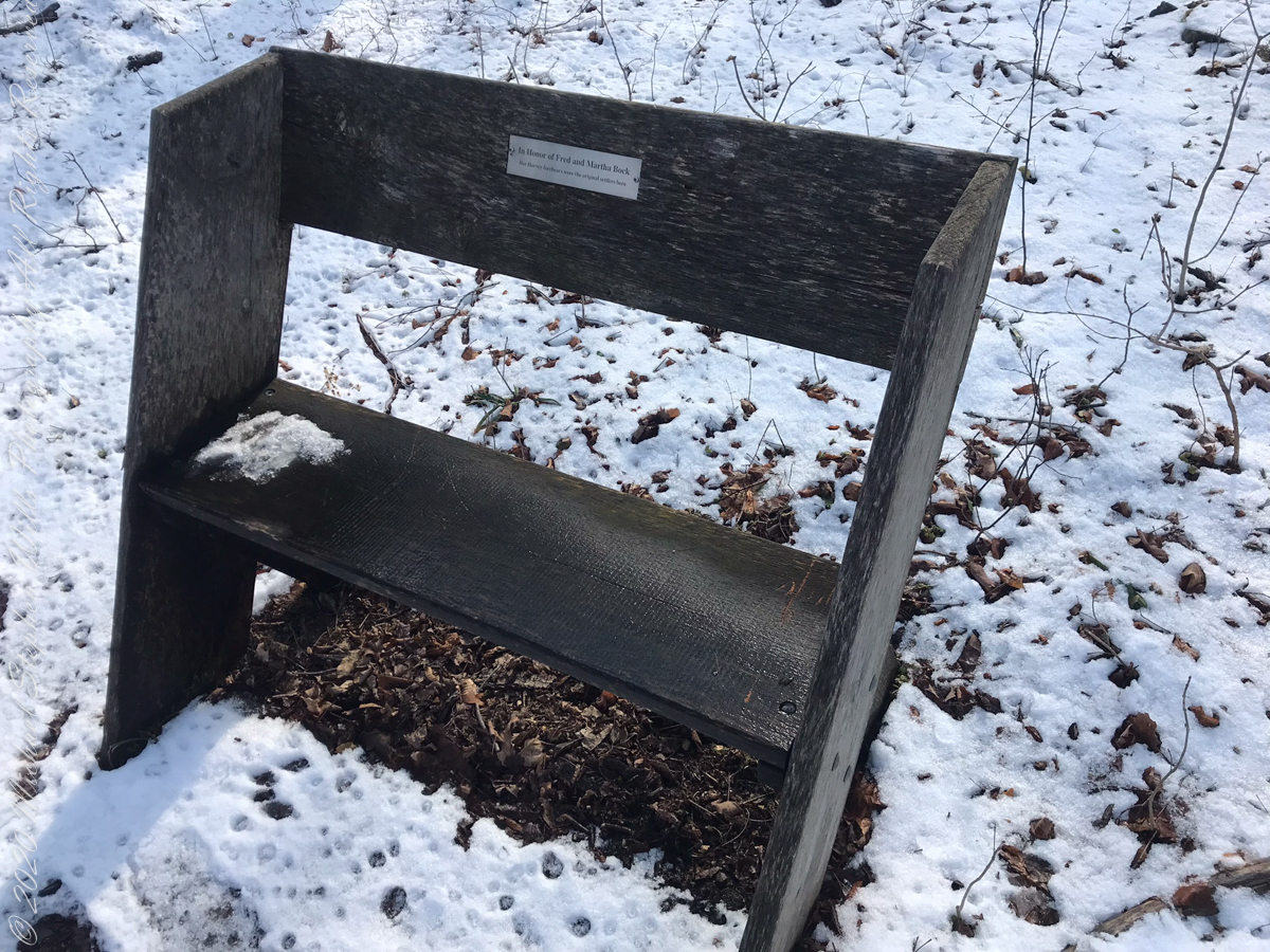
Sign on Rockwell RoadResting Place in forestGreat Information
This land and several other military tracts were purchased by Samuel Harvey. He then gave he lands to his sons including this farm to Silas Harvey, the great-great-great-great grandfather of Megan Barber who led the dedication ceremony of the forest preserve. Megan’s great-grandmother Martha Harvey married Fred Bock and lived on this land used for dairy farming for over 150 years.
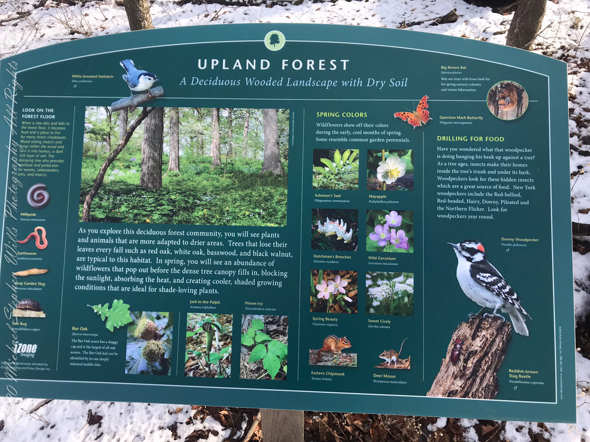
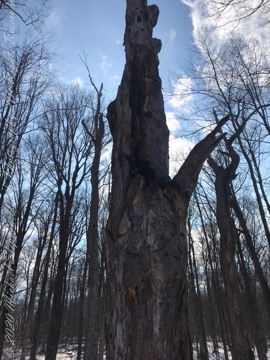
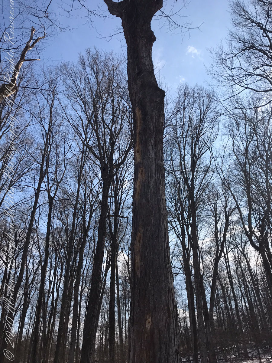
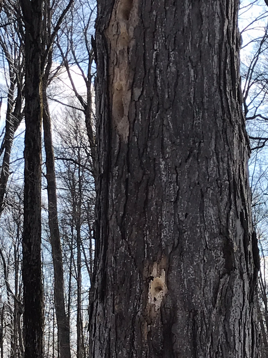
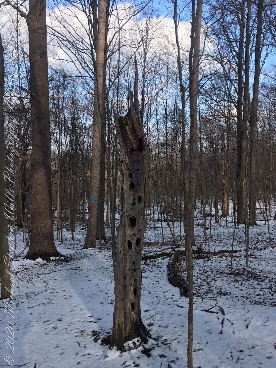
forested uplandvernal poolsnagfull of bird holes
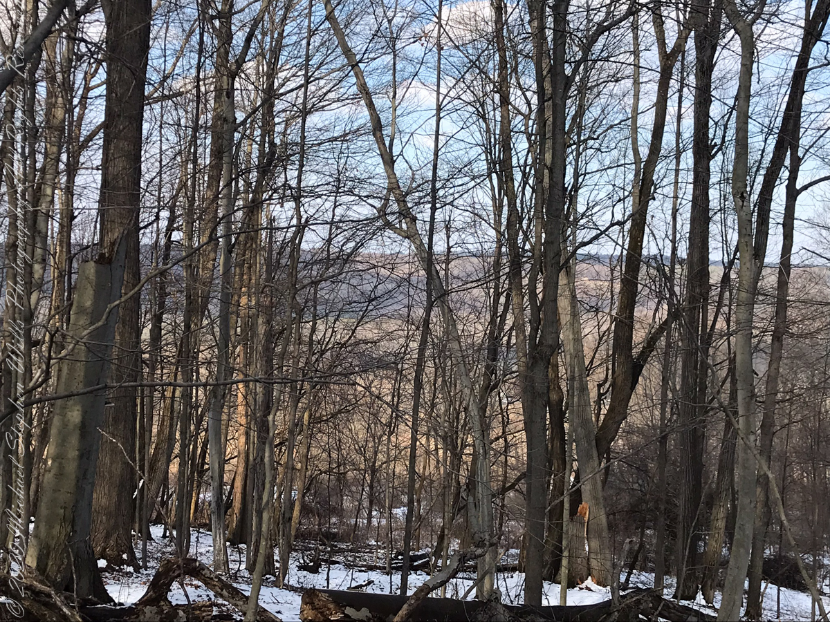
The preserve exceeded my expectations for great upland views.
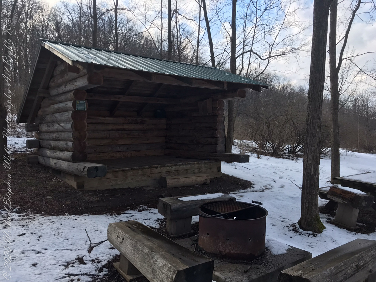
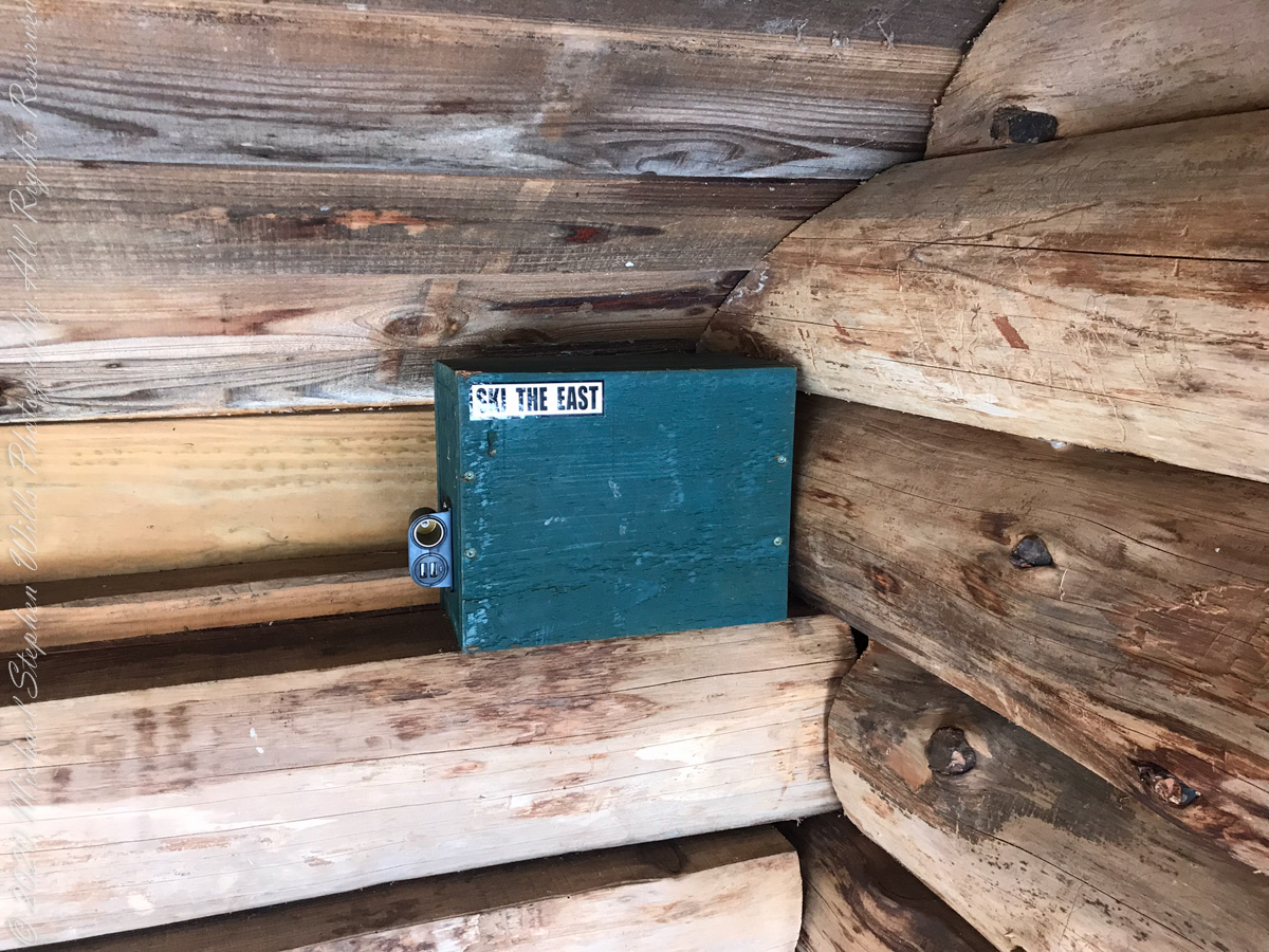
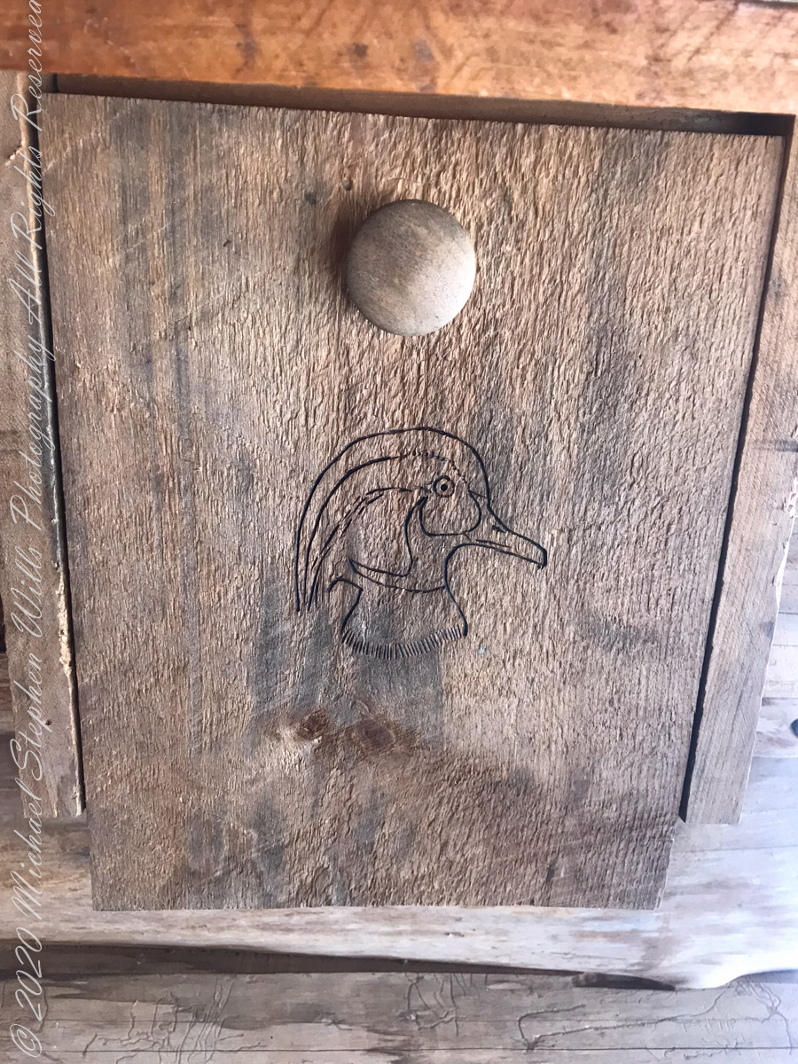
above the lean-topapartment houselean to made from tamarack logs with excellent fire pitsolar powered charging stationdocument box / mouse houseselfie
View from Shelter across the valley of Enfield Creek, the same that flows over Lucifer Falls of Treman State Park
The same day I captured “Rosy Fingers of Dawn” and “Oceans Eons”, these still lives were found using a 100 mm macro lens.
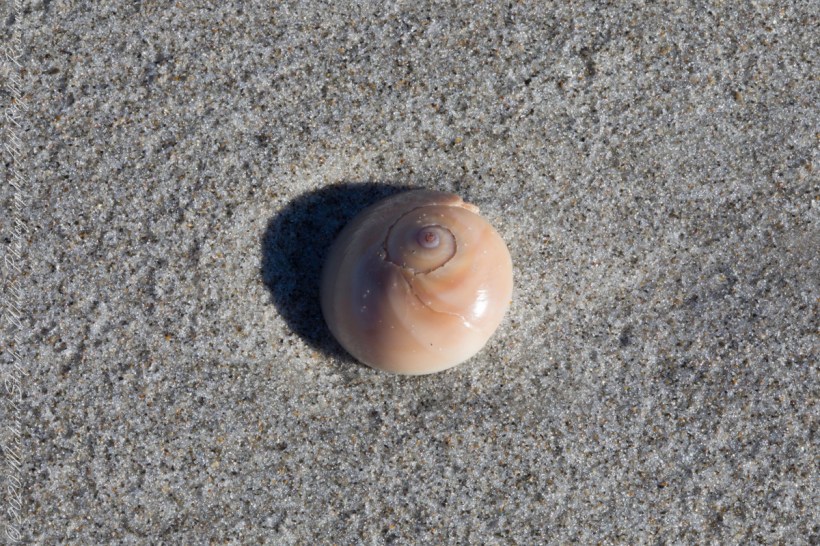
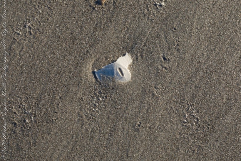
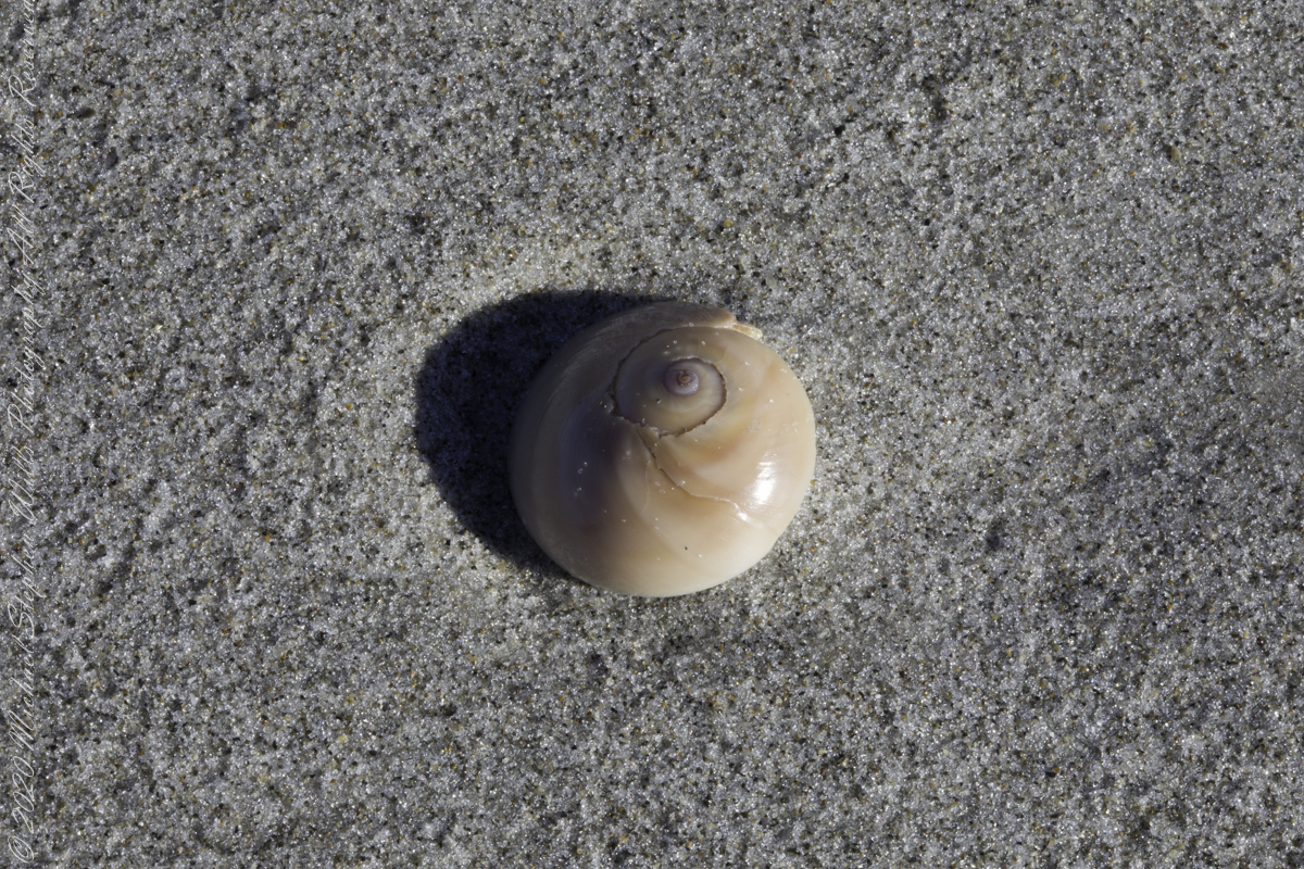
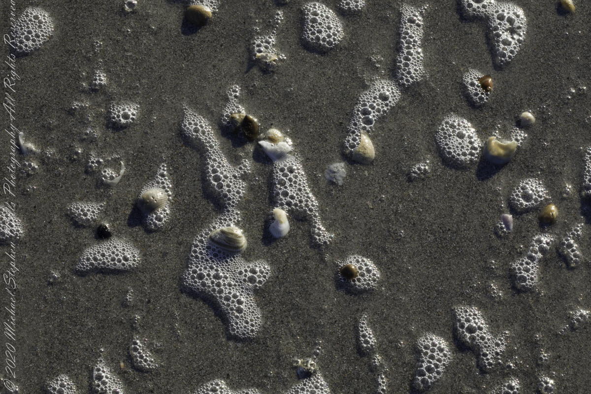
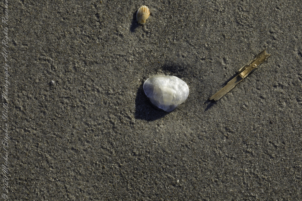
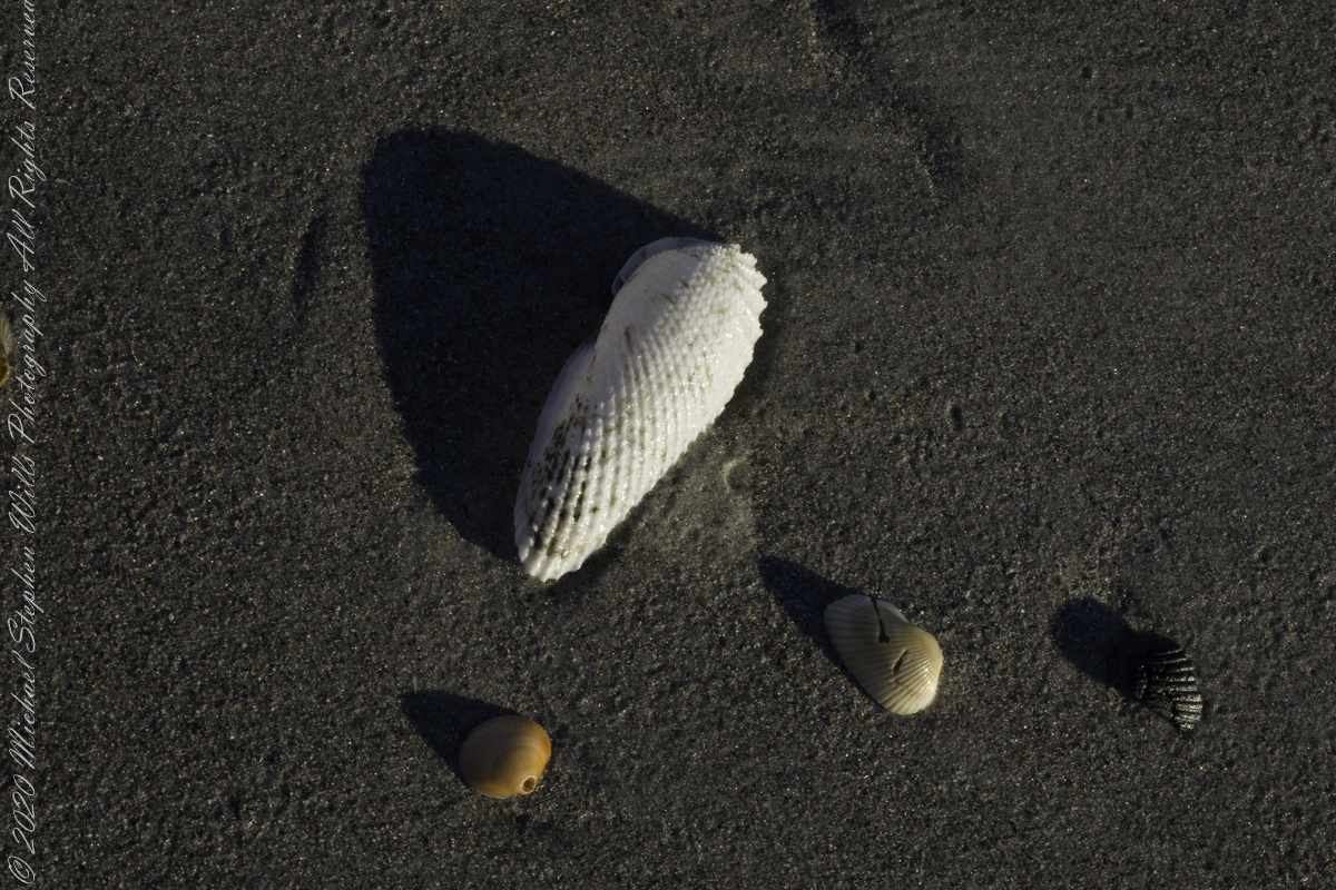
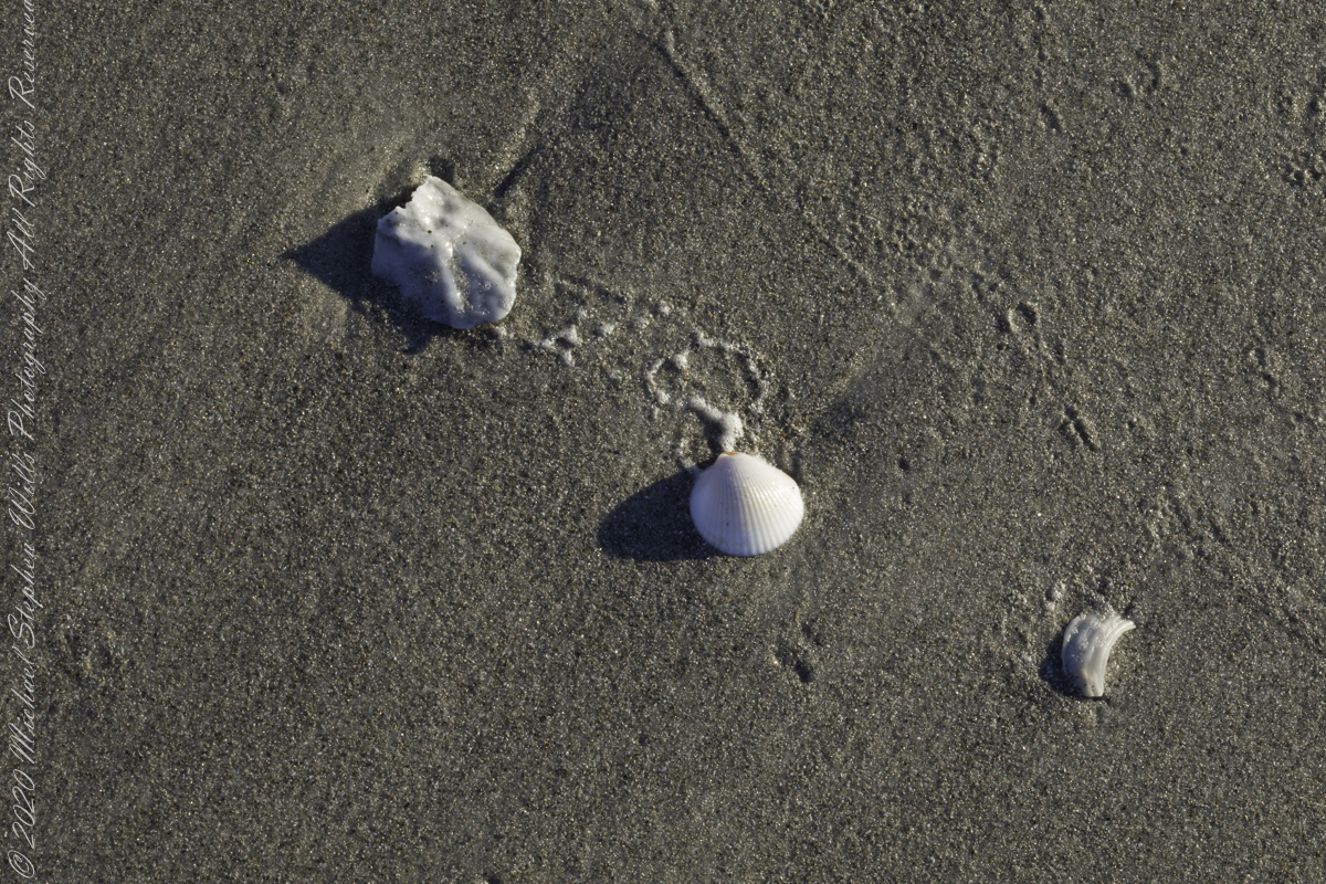
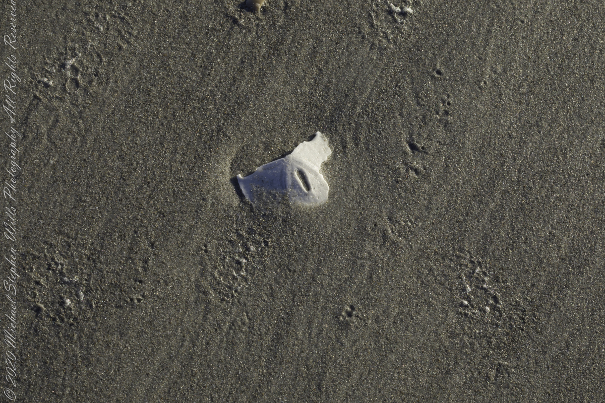
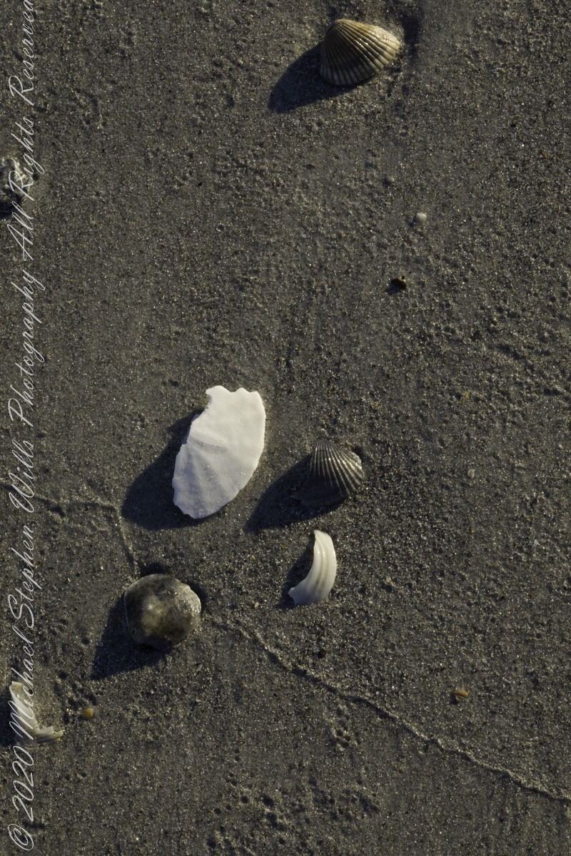
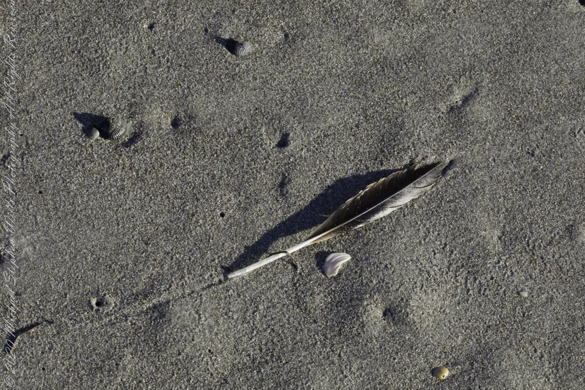
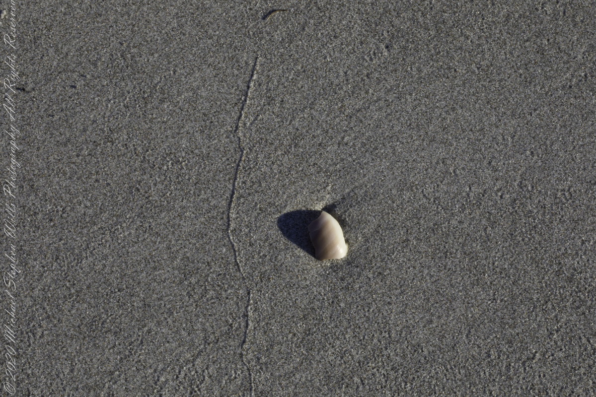
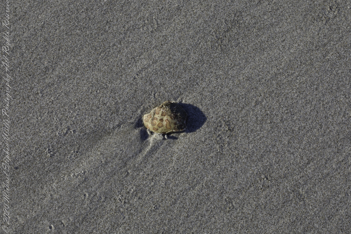
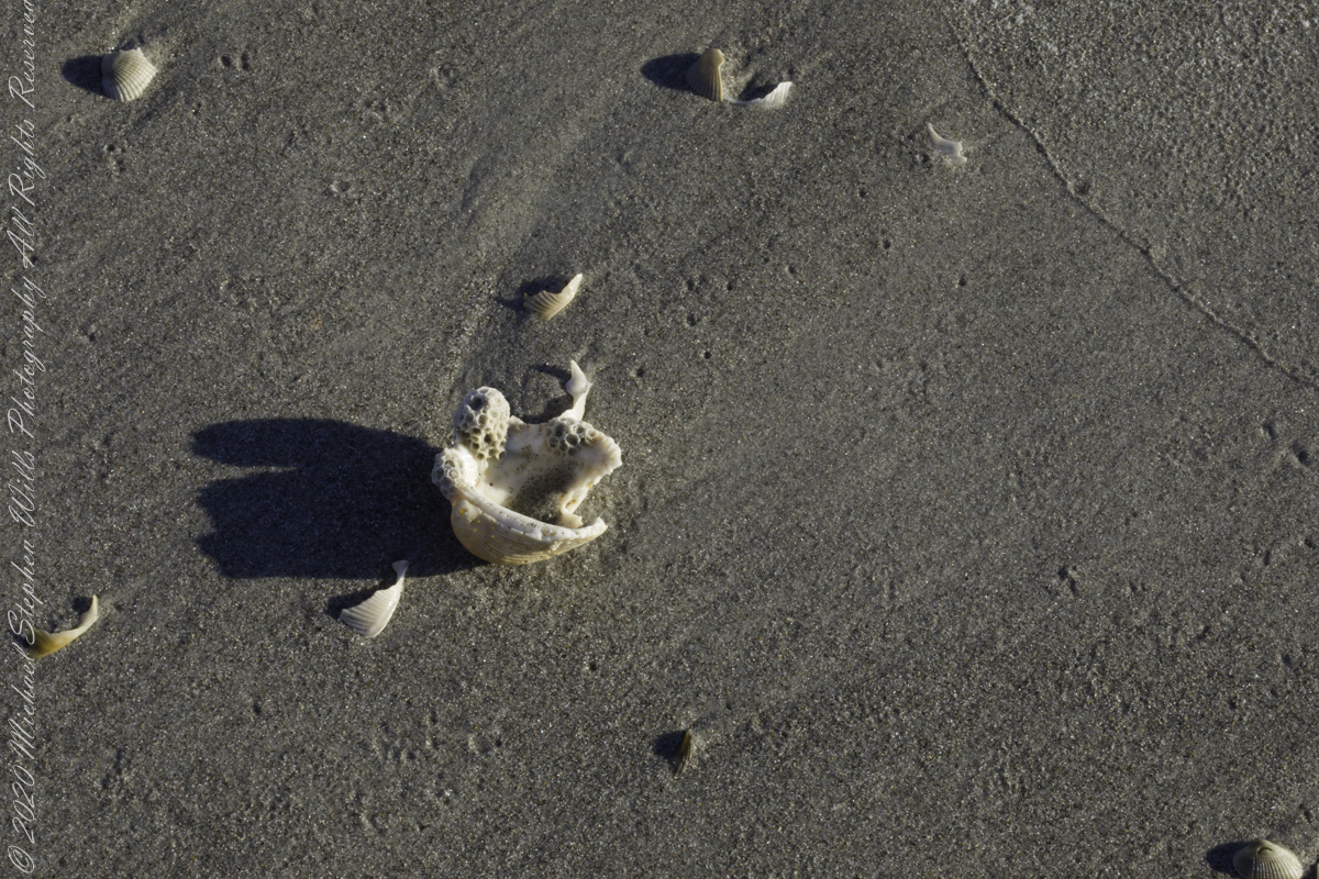
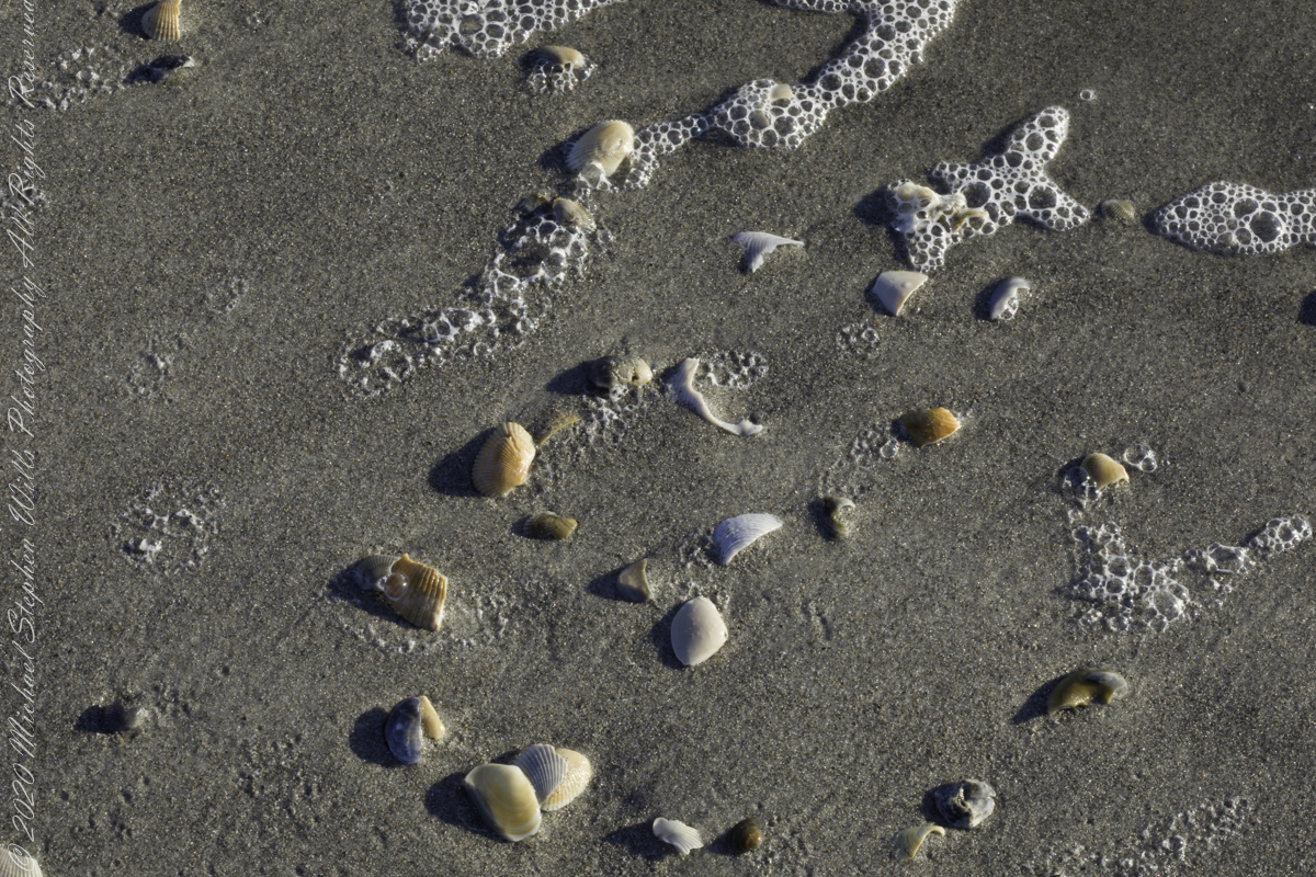
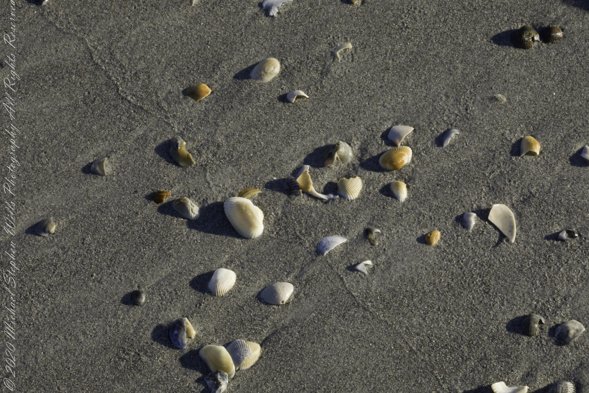
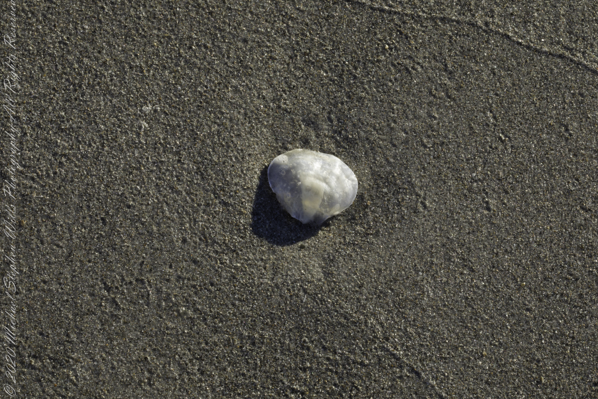
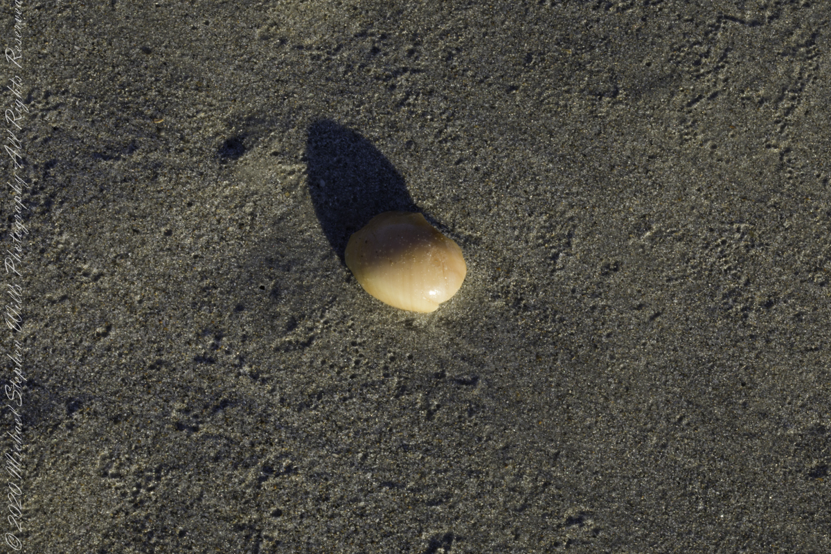
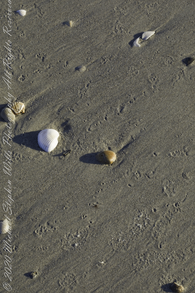
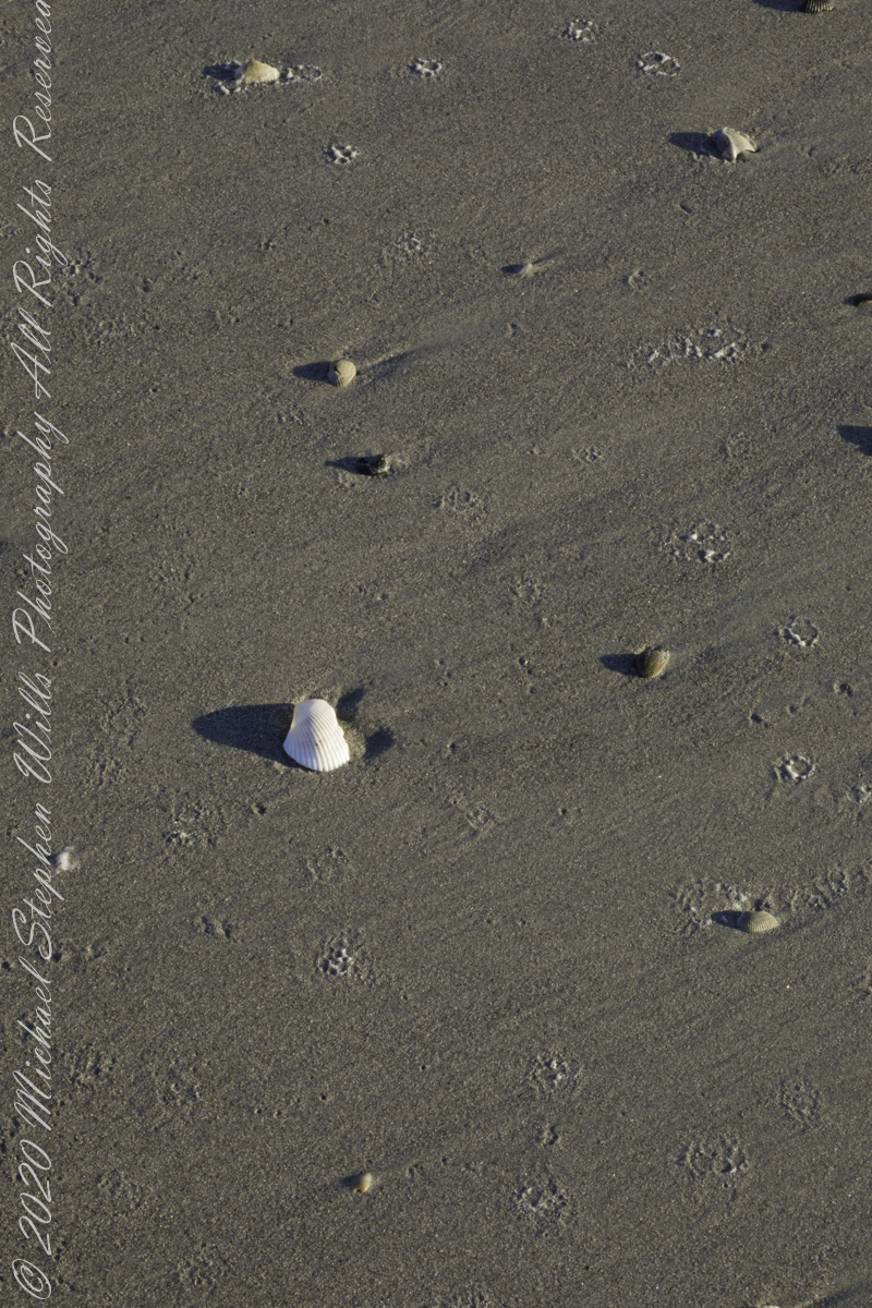
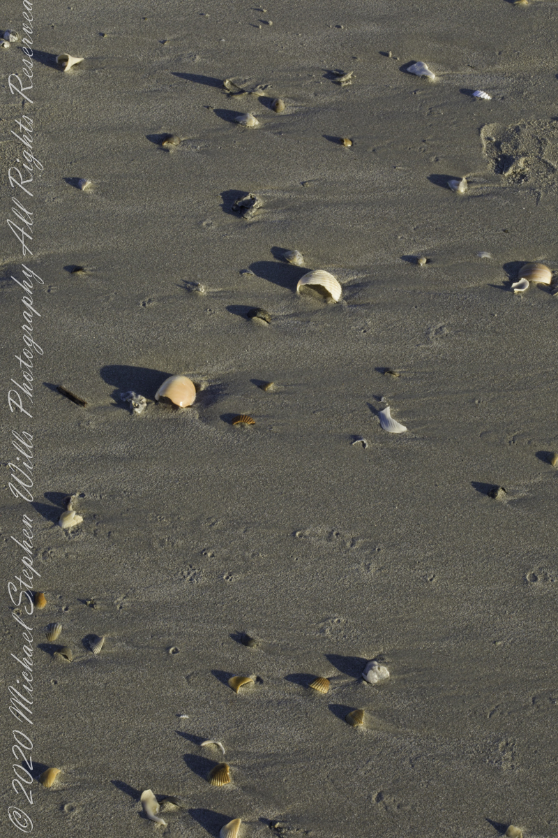
Planting of Sea OatsShell of the Moon Snail (Naticidae) found in the surf washSmall whole and fragments, gastropod shells in fresh sea foamScattered remains of shell left by receding surfScattered remains of shell left by receding surfSmall whole and fragments, gastropod shells in fresh sea foamNacre, also known as mother of pearl, is an organic–inorganic composite material produced by some molluscs as an inner shell layer; it is also the material of which pearls are composed. It is strong, resilient, and iridescent.Shells washed on beach by wavesShells washed on beach by wavesSand Dollar fragment washed on beach by wavesShells washed on beach by wavesThere were submitted for publication by Getty
The following I reserved for our private enjoyment.
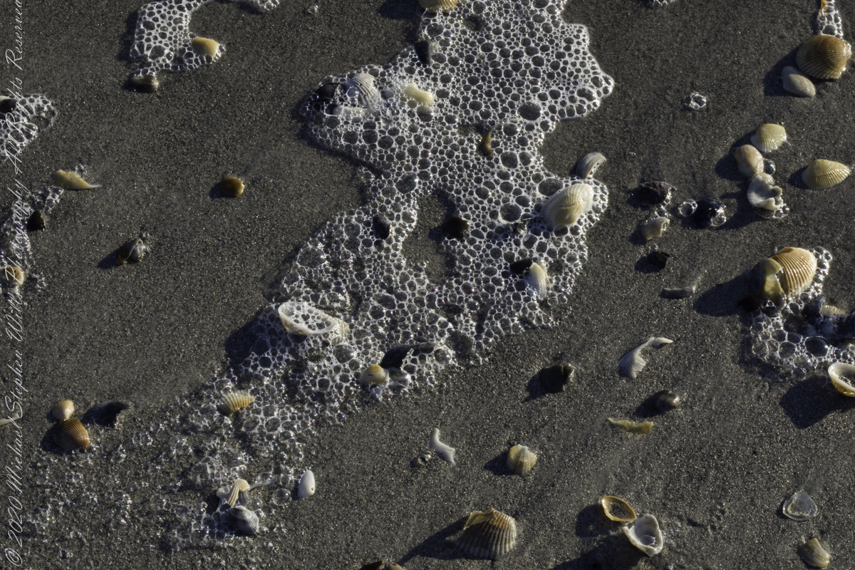
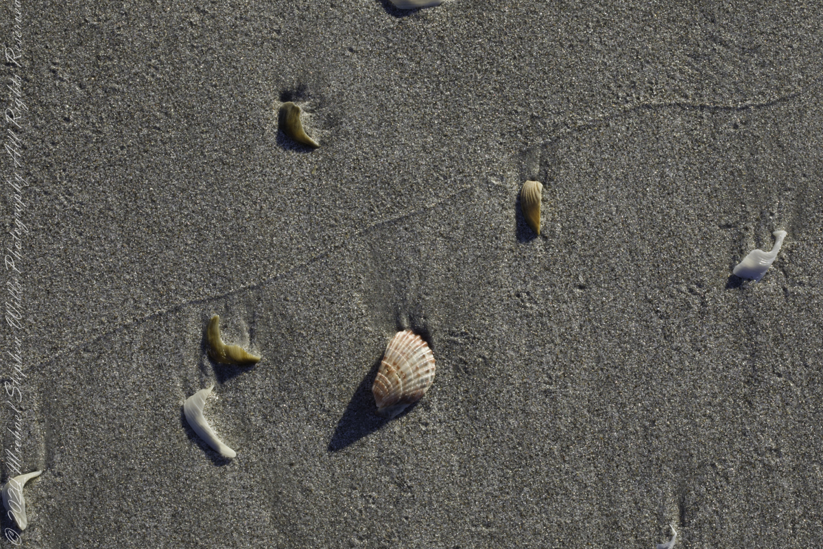
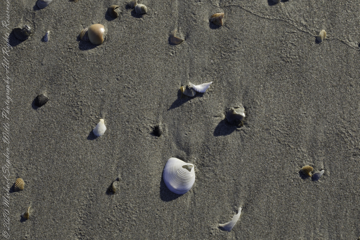
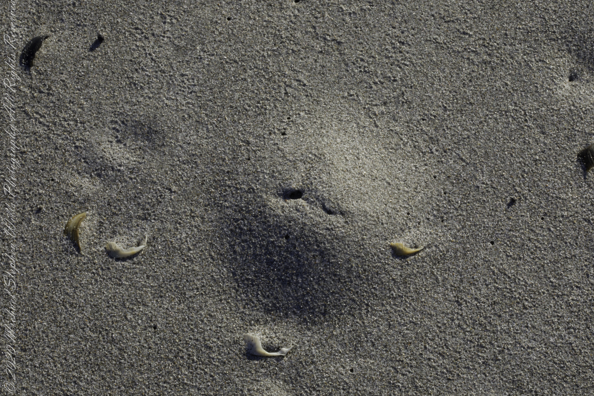
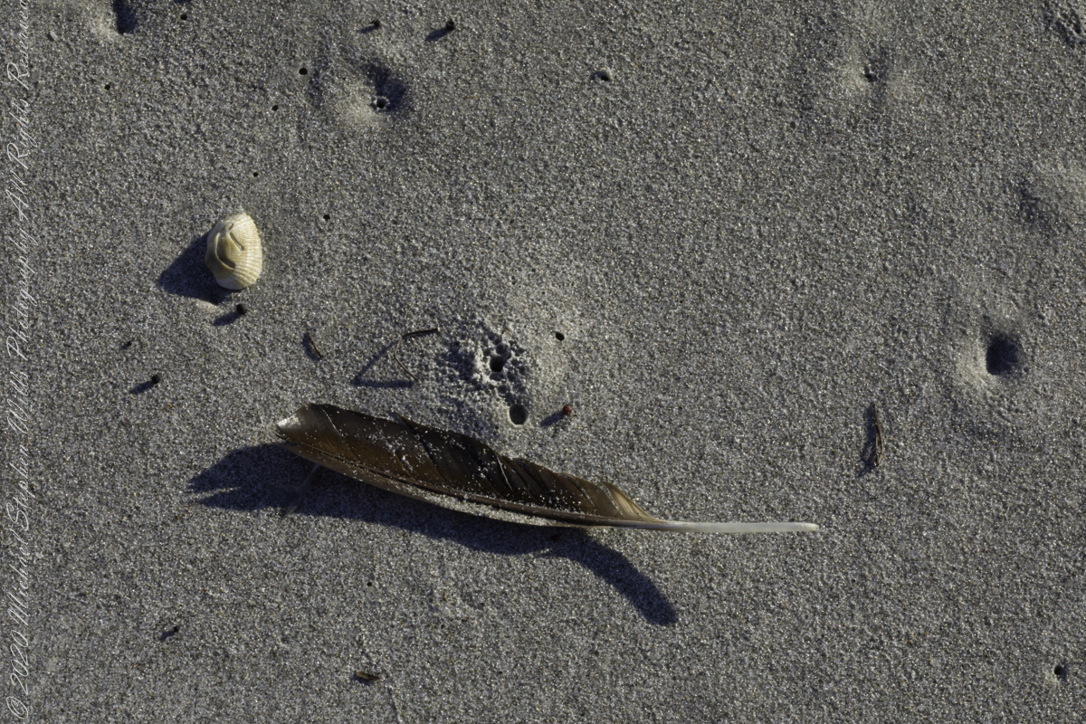
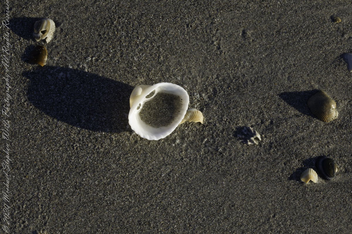
Burrow of a creature with breathing hole in the wash wash. Fragment of crab carapace in wave washScattered remains of shell left by receeding surfSmall whole and fragments, gastropod shells in fresh sea foamScattered remains of shell left by receeding surfNacre, also known as mother of pearl, is an organic–inorganic composite material produced by some molluscs as an inner shell layer; it is also the material of which pearls are composed. It is strong, resilient, and iridescent.Shells washed on beach by wavesThis Moon Snail shell fragment was found in surf washShells washed on beach by wavesShells washed on beach by wavesScattered remains of shell left by receeding surf
Copyright 2022 Michael Stephen Wills All Rights Reserved
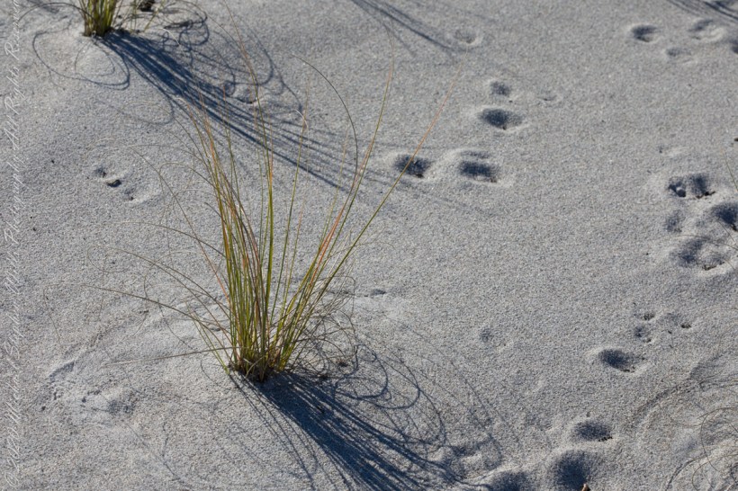
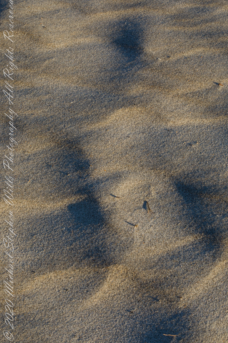
At first glance, Northerners may mistake this for fine snow blown on a bitter wind; but no, this is indeed a north wind, the temperature is above freezing, the material is beach sand. Keeping the sand in place is a concern for Brevard County.
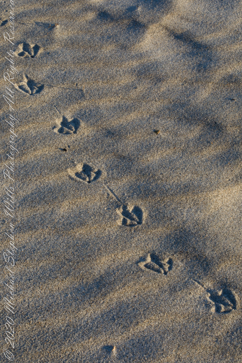
A gull walked through wind textured beach sand, see here in early morning light. Dawn light on beach sand textured by wind, see here in early morning light.
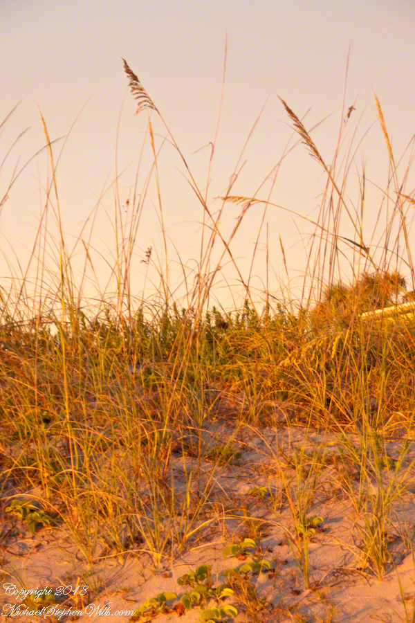
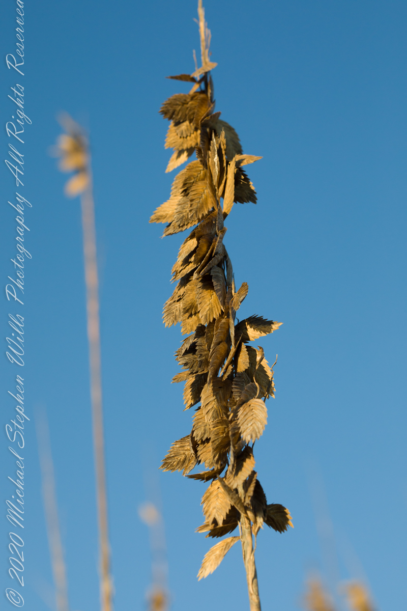
Golden brown infructescences (seed heads) of Sea Oats grass on stalks growing from dunes, seen here in early morning light, are one element of this plant beneficial to the goal of keeping beach sands in place. Tall stalks and broad leaves catch blowing sand. Deep roots hold the plants in place, shallow root systems hold sand in place to form dunes.
Returning after staying away for COVID-19, we found new plantings of Sea Oats by the county.
Planting of Sea Oats.
Copyright 2022 Michael Stephen Wills All Rights Reserved
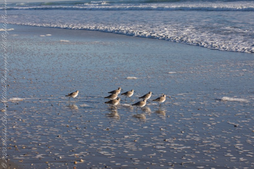
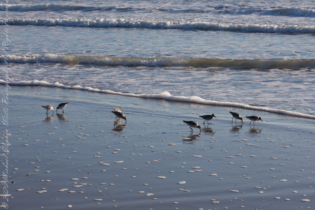
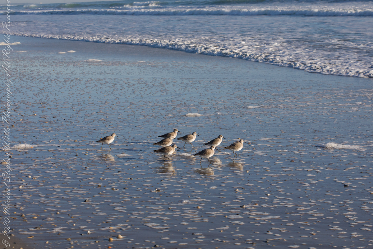
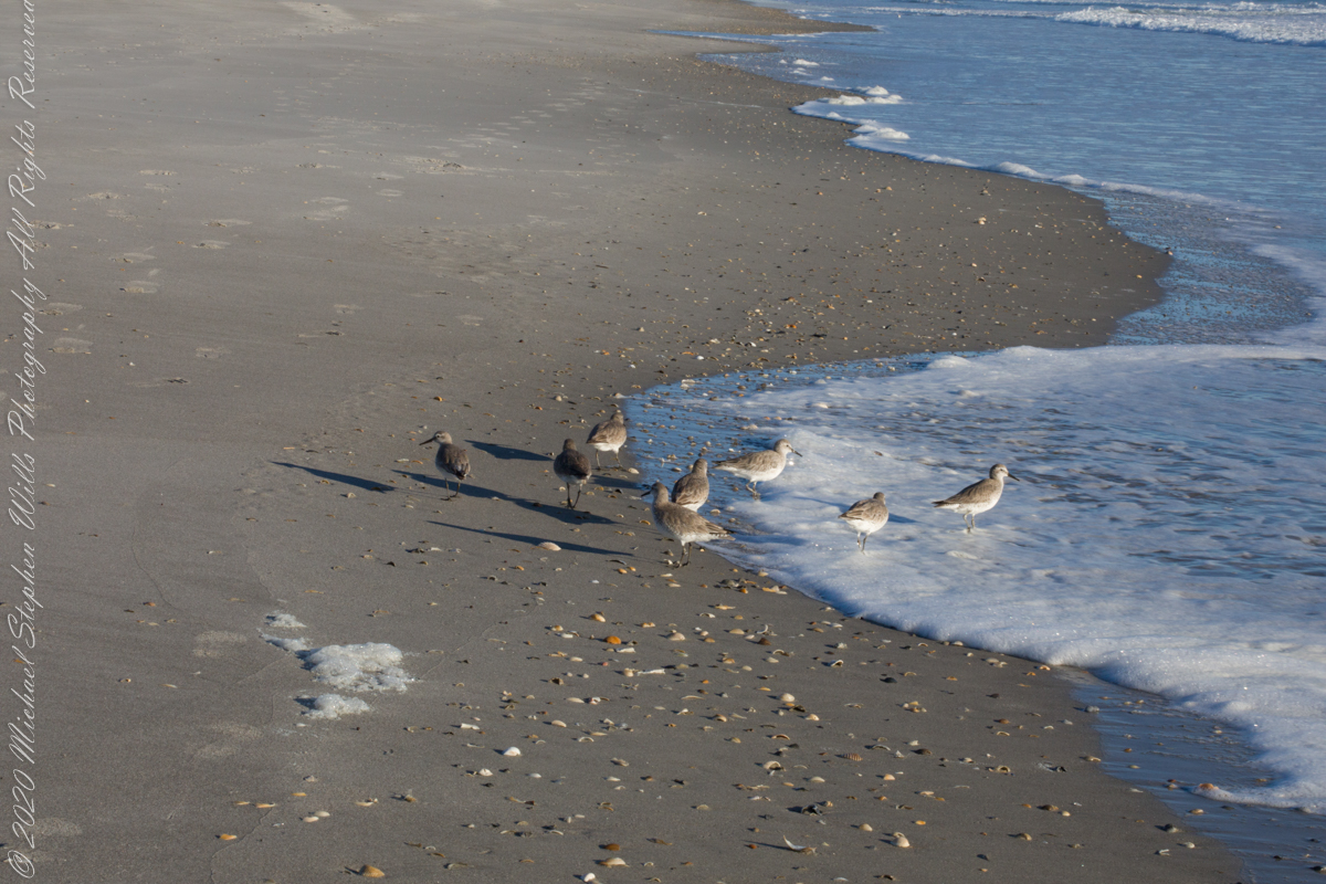
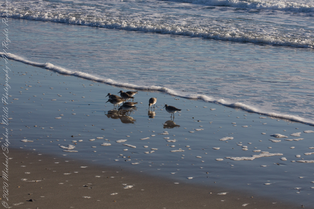
Walking mornings along the beach I encounter, one after the other, solitary sandpipers, called Willets. Before encountering this group, I noticed massed Black Skimmers feeding in the surf and, on the beach, a single, tiny (1/8th of an inch) fish that I scooped up and returned to the surf. My surmise is these several days around the full moon, fish were being birthed and swarming to provide a bounty that brough these solitary Willets together.
Copyright 2022 Michael Stephen Wills All Rights Reserved