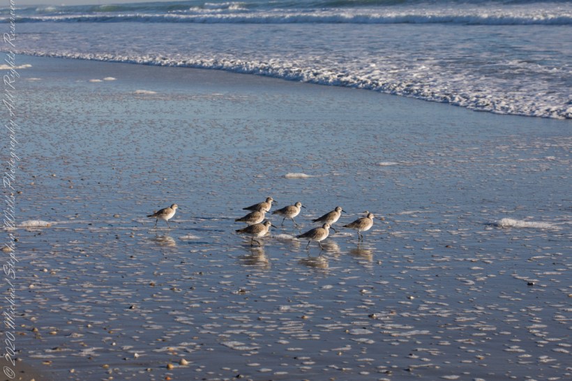
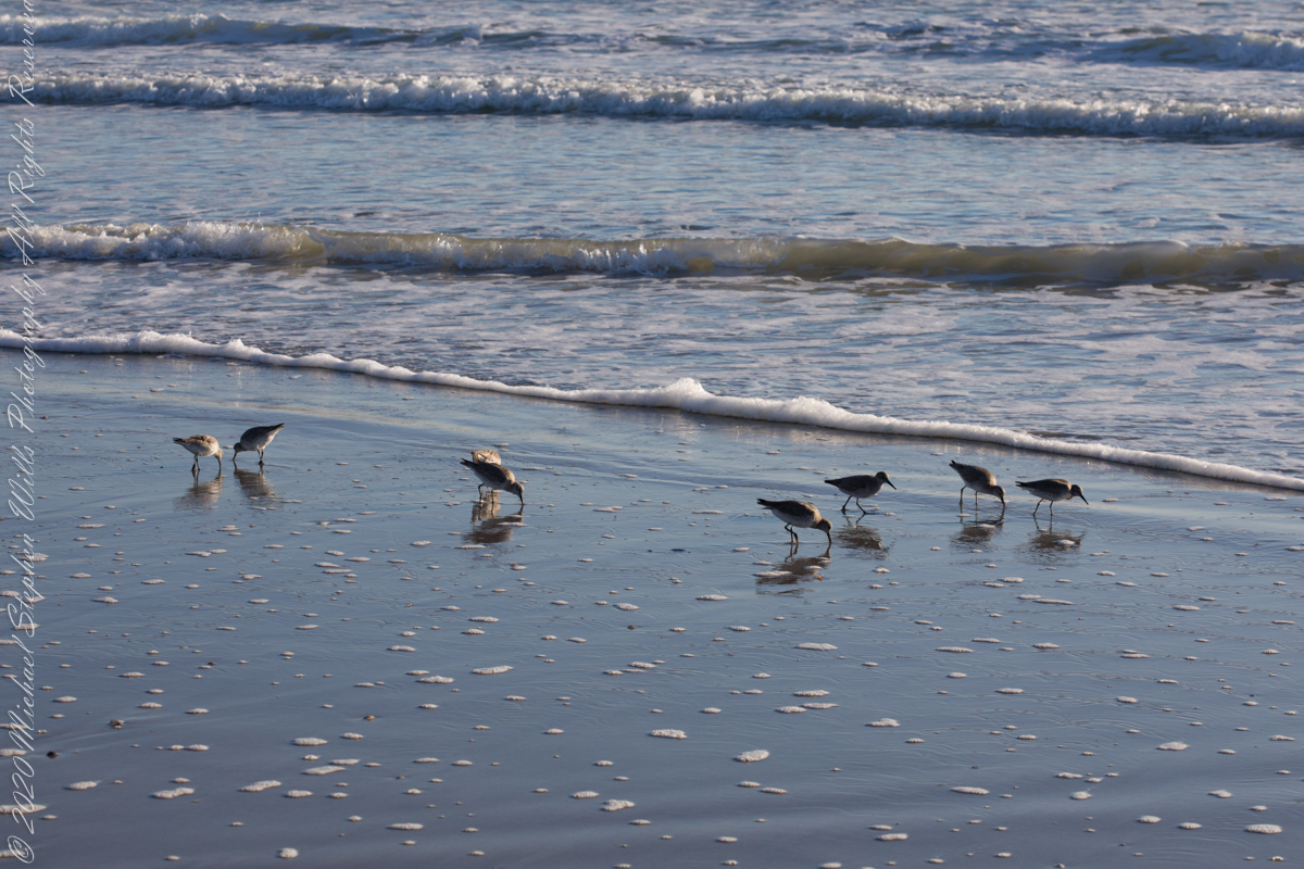
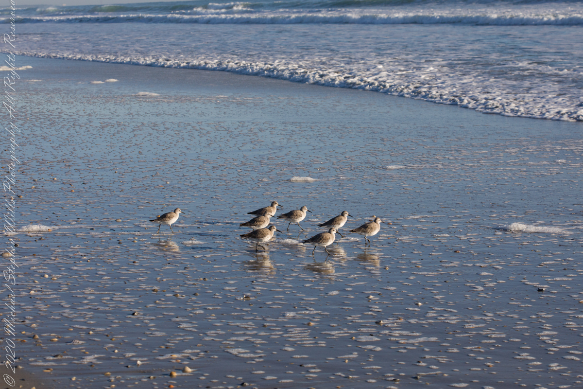
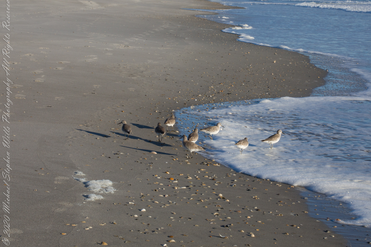
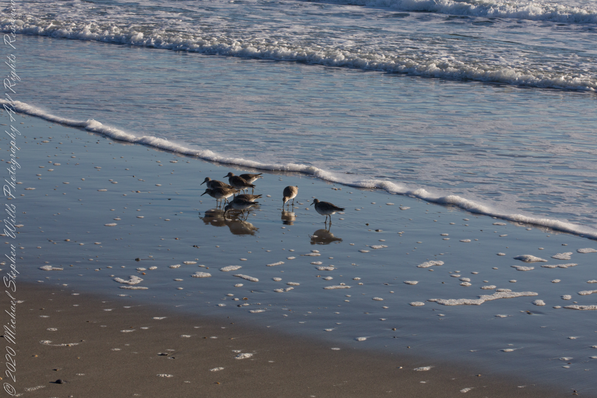
Walking mornings along the beach I encounter, one after the other, solitary sandpipers, called Willets. Before encountering this group, I noticed massed Black Skimmers feeding in the surf and, on the beach, a single, tiny (1/8th of an inch) fish that I scooped up and returned to the surf. My surmise is these several days around the full moon, fish were being birthed and swarming to provide a bounty that brough these solitary Willets together.
Copyright 2022 Michael Stephen Wills All Rights Reserved
Use your pinky finger to apprehend the sky dome. Imagine yourself at sea, out of sight of land, on a calm day. Keeping your arm extended, place your pinky-tip on the horizon due east, raise your arm directly overhead. The average sized pinky-tip will have spanned 90 of its lengths. The distance measured from the horizon to directly overhead, the zenith, is 90 degrees of sky dome, about one pinky-width per degree, one-fourth of the entire 360 degrees of sky around your spot on the globe.
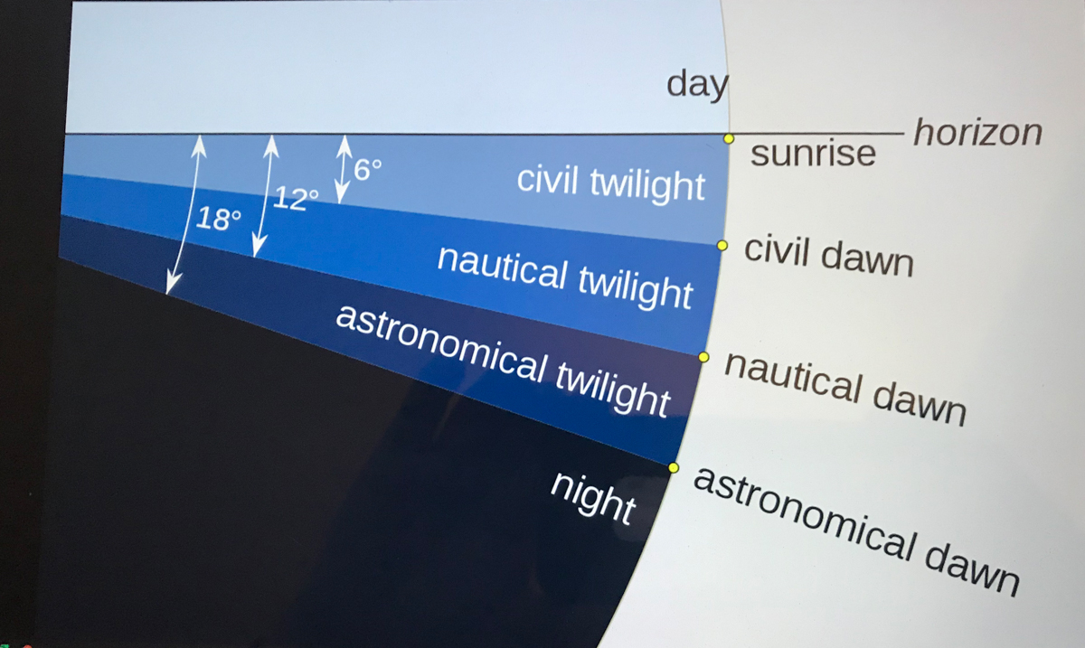
The apparent width of the sun disk from earth covers 1/2 degree of sky dome. The disk center point moves 15 degrees per hour (360/24 = 15). Using these facts to estimate time to sunset is relatively straightforward. Estimating time to dawn from the sky is more difficult. This graphic, “Twilight-dawn subcategories,” is a way to grasping what happens. Your position on the earth globe affects the experience. For example, at northern latitudes above 60°34′ summer nights never become darker than civil twilight because the sun’s midpoint never drops lower than 6 degrees below the horizon. Civil twilight lasts all night long summer times in parts of Sweden and Finland.
Attribution: “Pmurph5, CC BY-SA 4.0 , via Wikimedia “
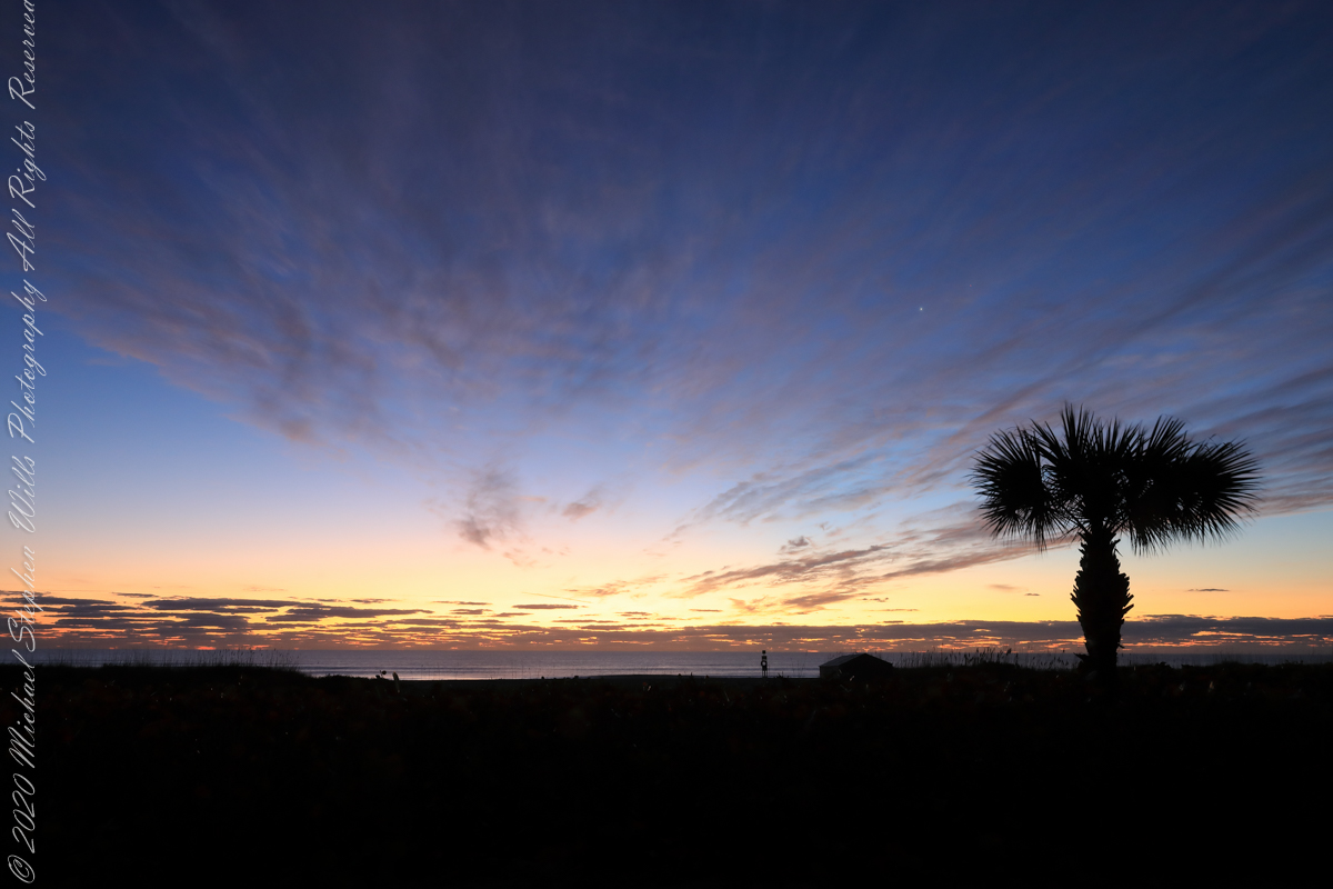
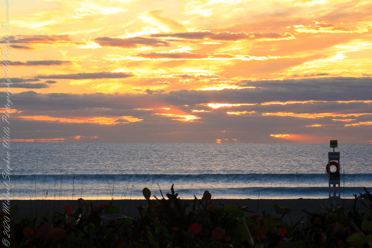
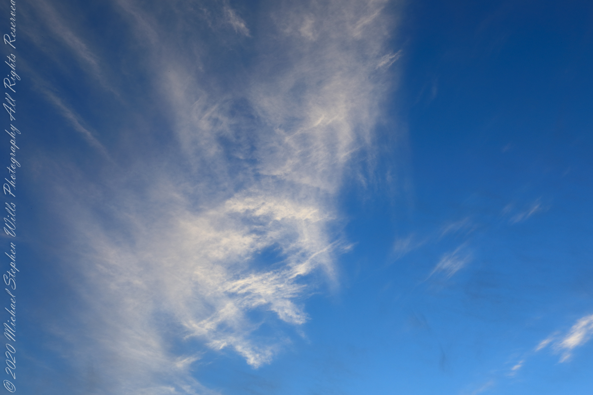
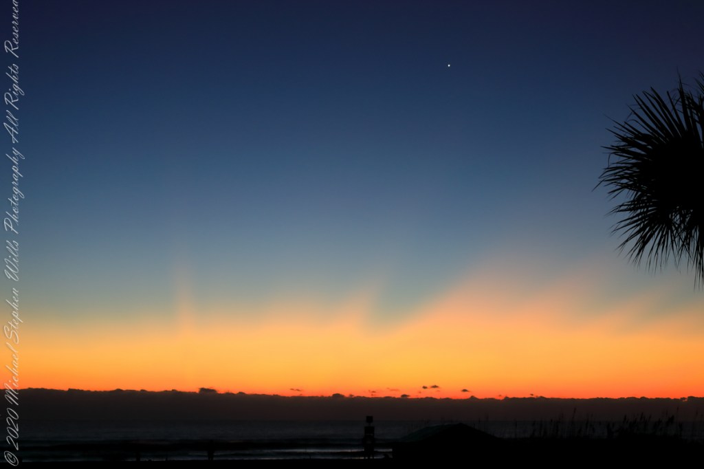
The date-time stamp on the first photograph of this series is 6:46:23 am, Cocoa Beach sunrise for February 1st was 7:09:40, 00:23:17, 23.283 minutes in decimal notation, later. This duration divided by 60 minutes in an hour and multiplied by the sun’s apparent velocity across the sky (15 degrees per hour) and minus the .25 degree between sun’s center and disk edge, gives the sun’s center as 5.57 degrees below the horizon: this is a photograph of the sky a minute or so after the sun passed civil dawn into civil twilight. I am not more exact because this calculation does not account the deviation of the sun path from due east at this latitude, lengthening civil twilight duration by almost a minute.
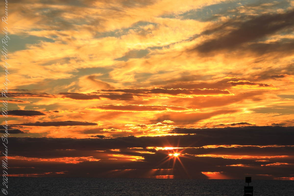
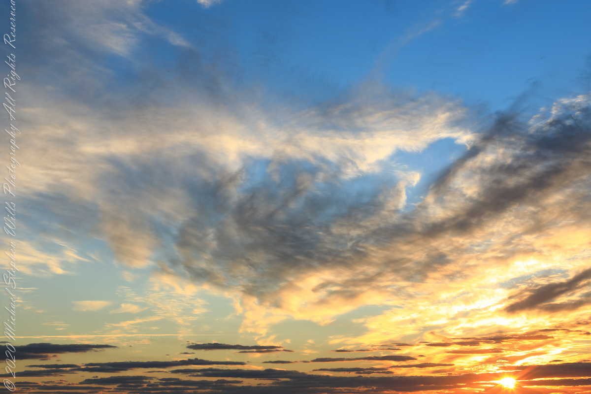
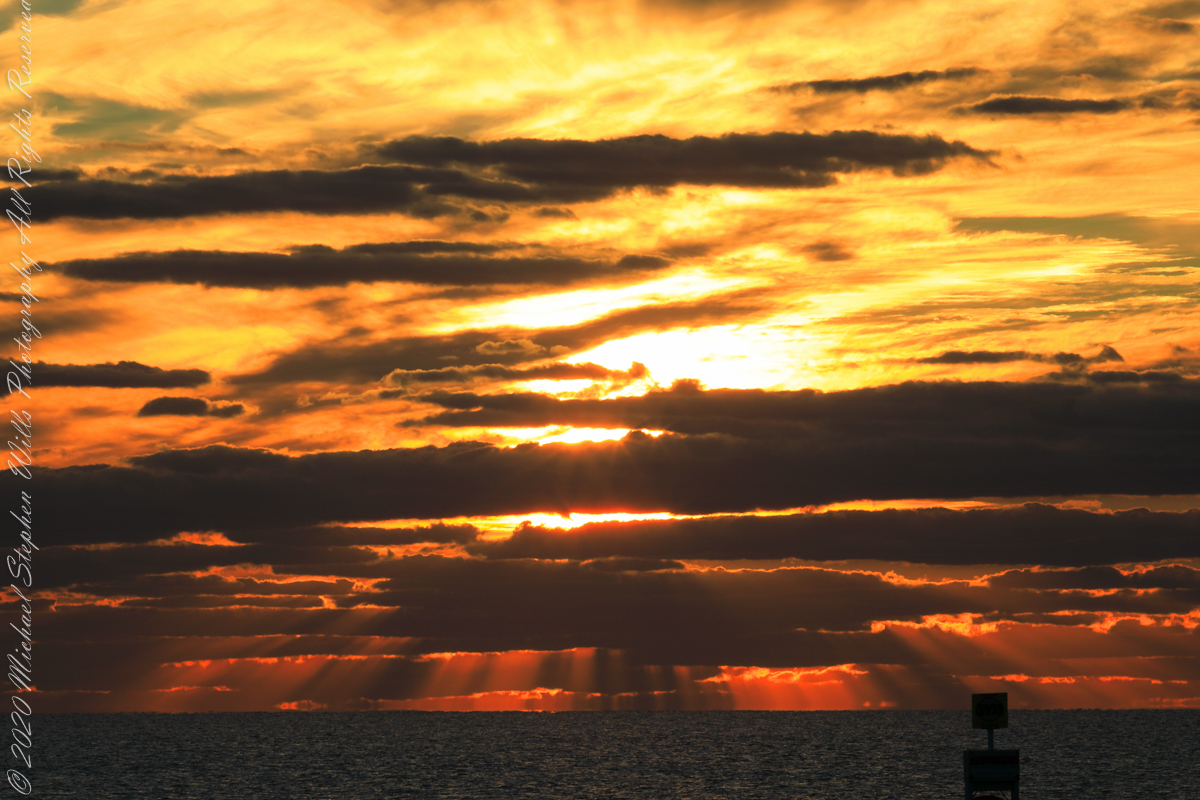
Edge of Civil Twilight: dark clouds soon to take light
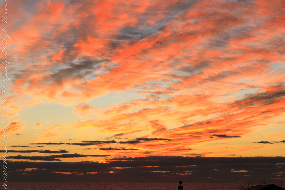
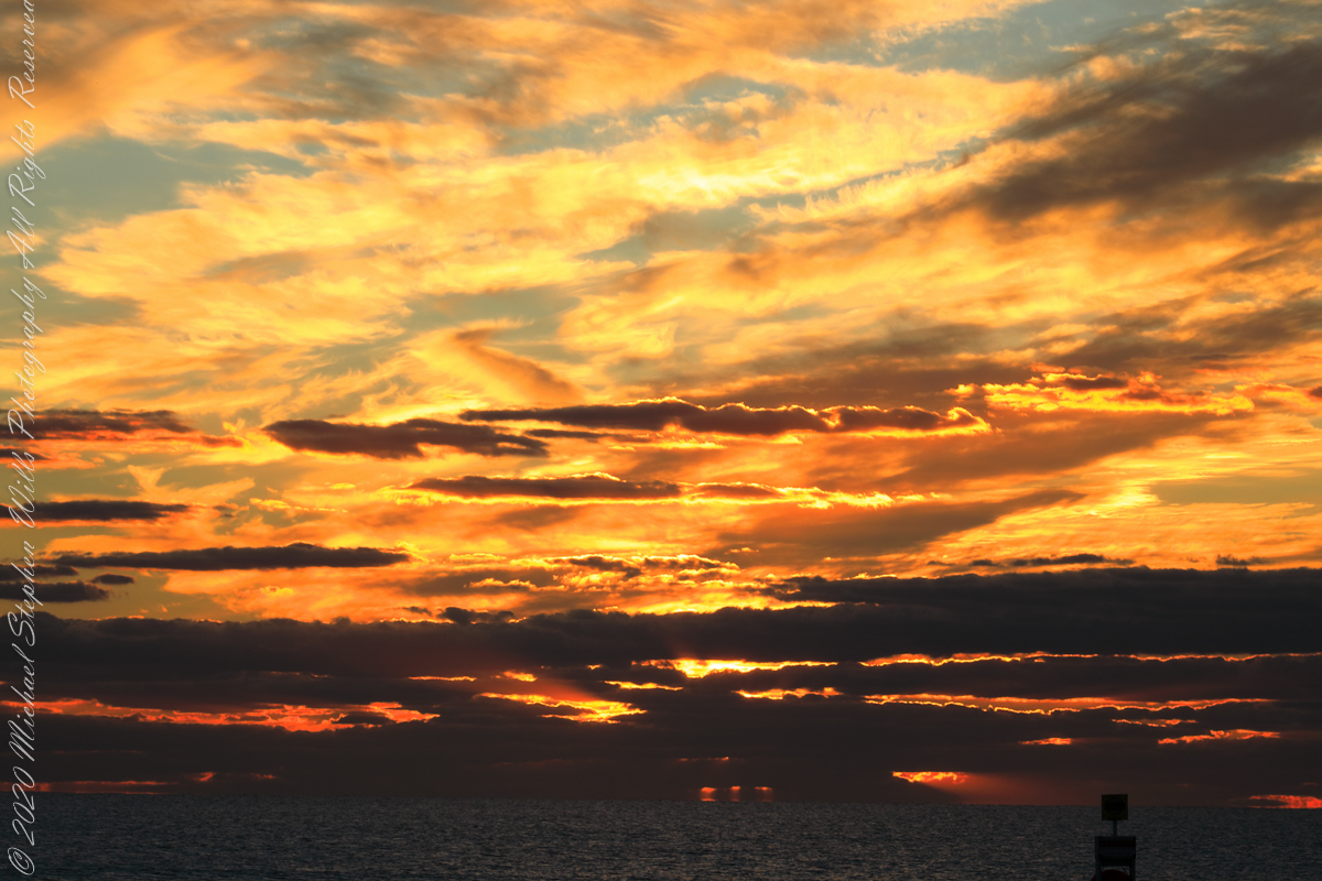
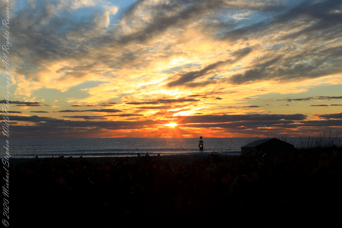
The following photograph is time-stamped 7:05:06, 4.567 minutes until sunrise, sun center is just below the horizon, setting the dark clouds of the previous photograph fleetingly on fire.
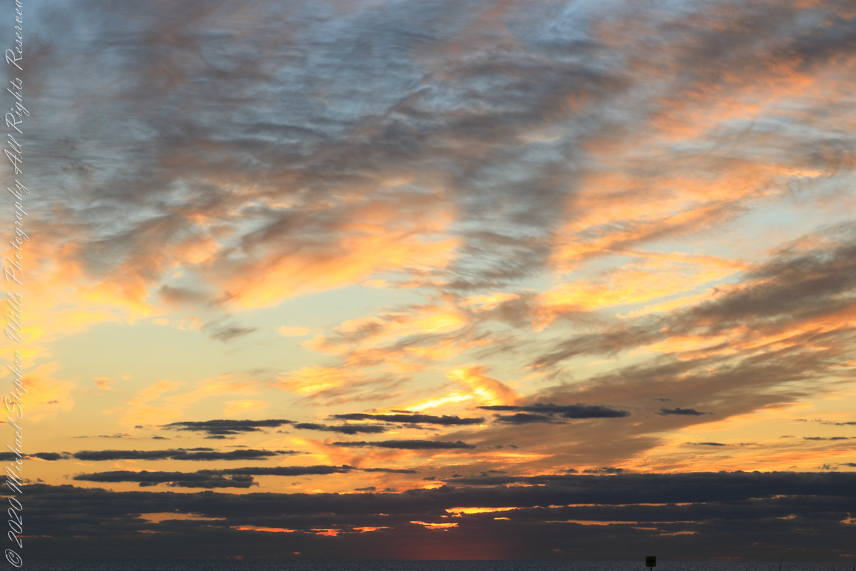
Civil Twilight at the edge of sunrise
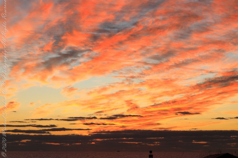
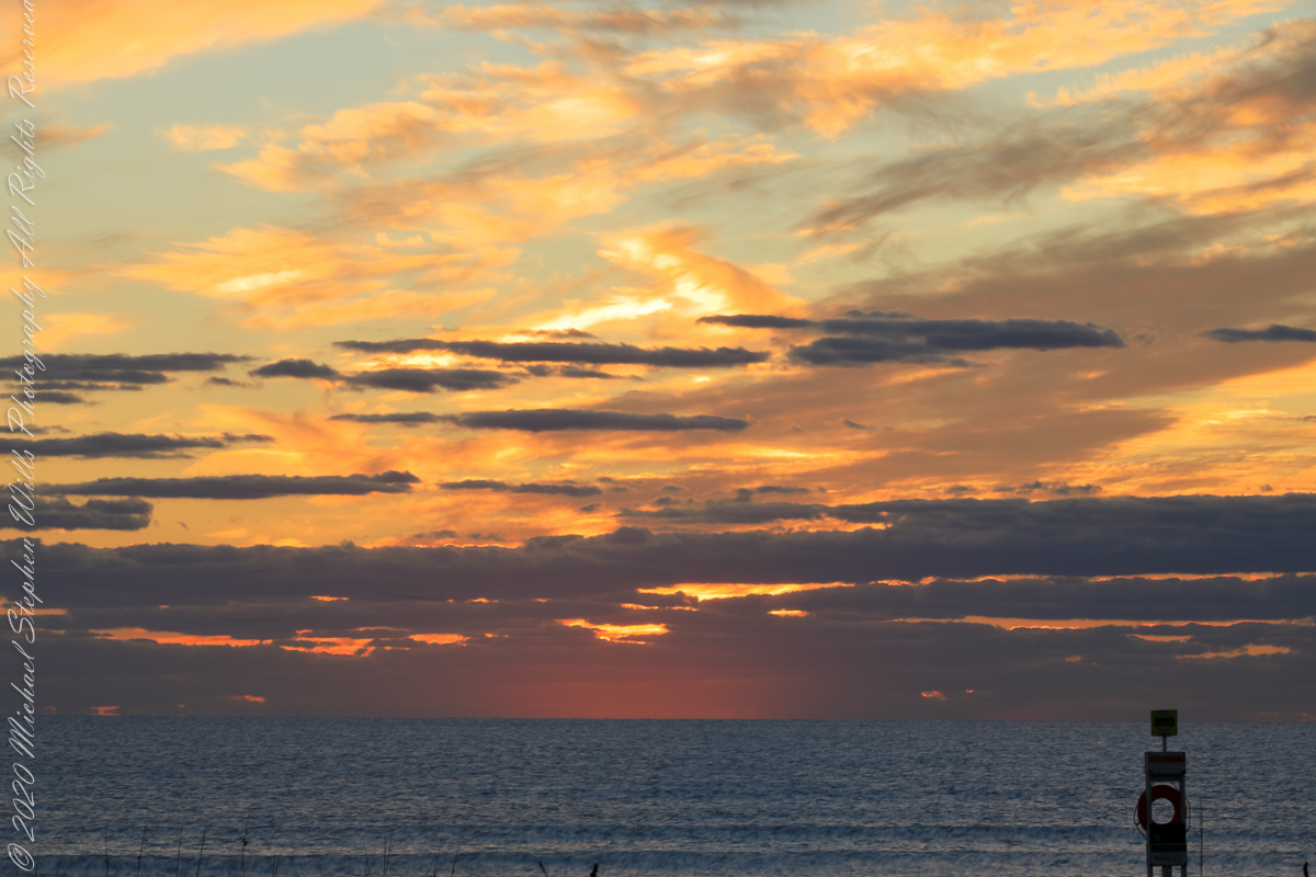
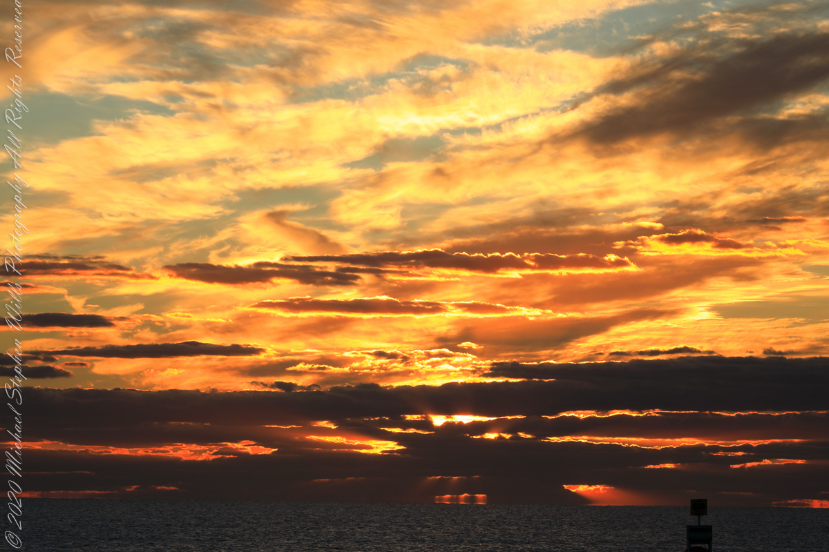
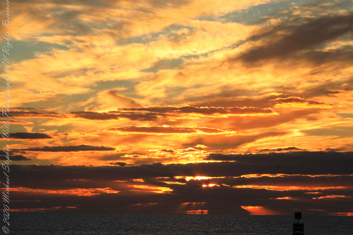
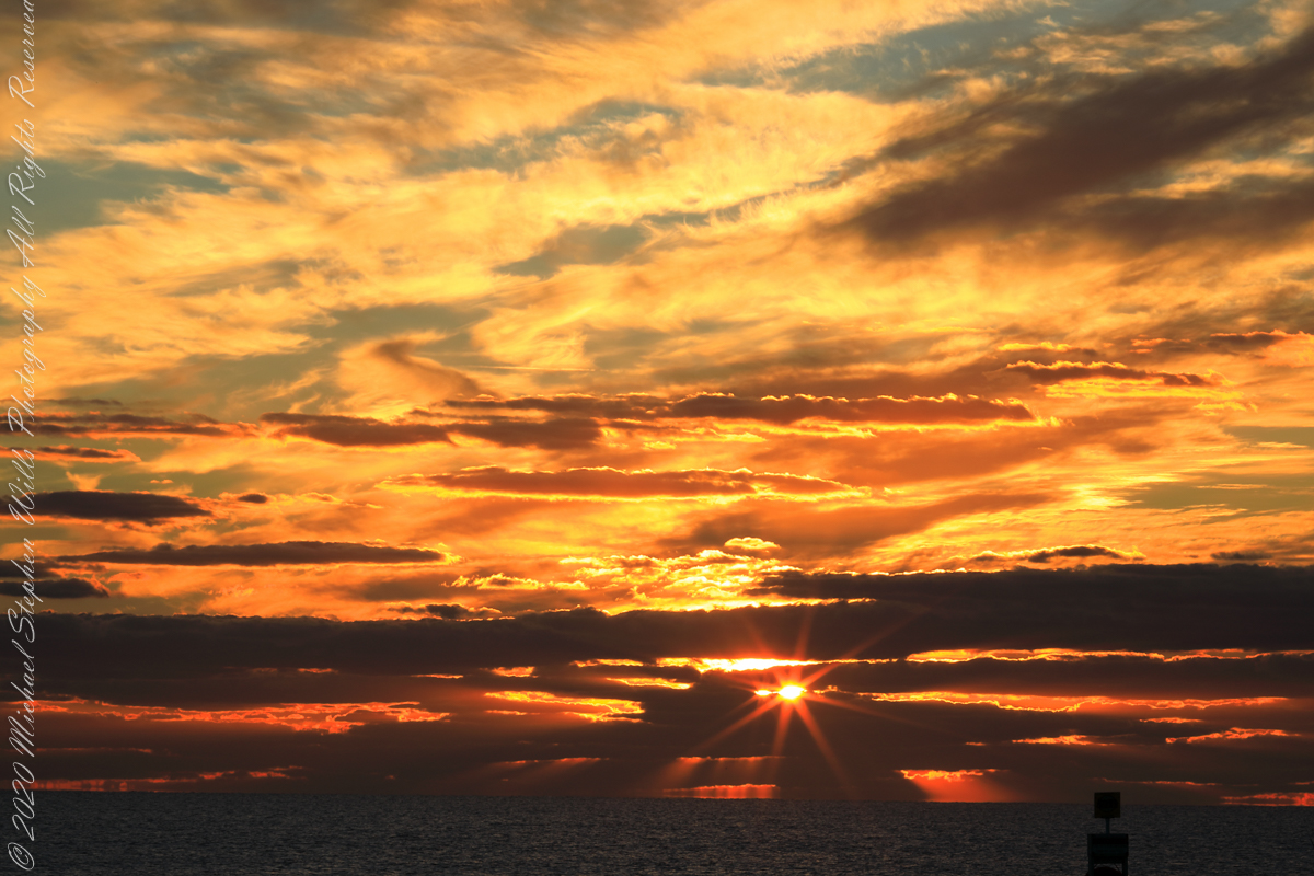
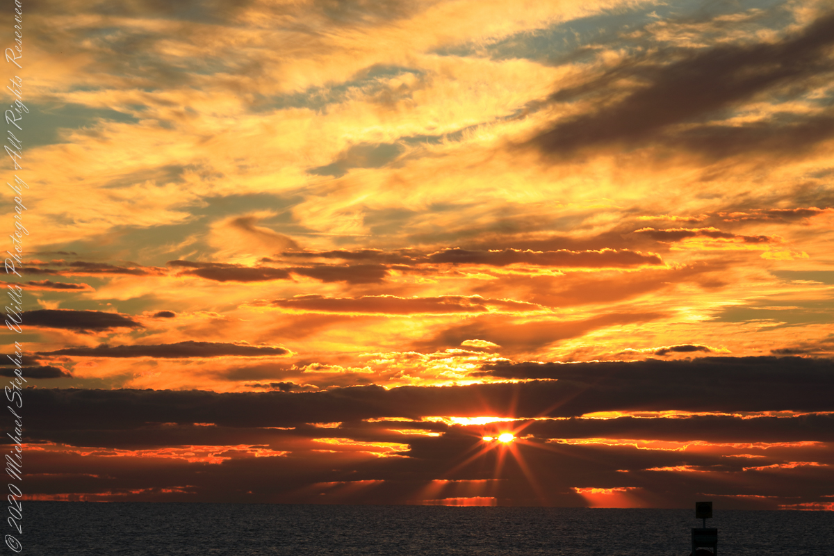
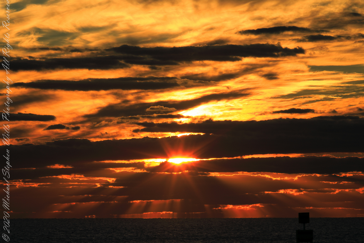
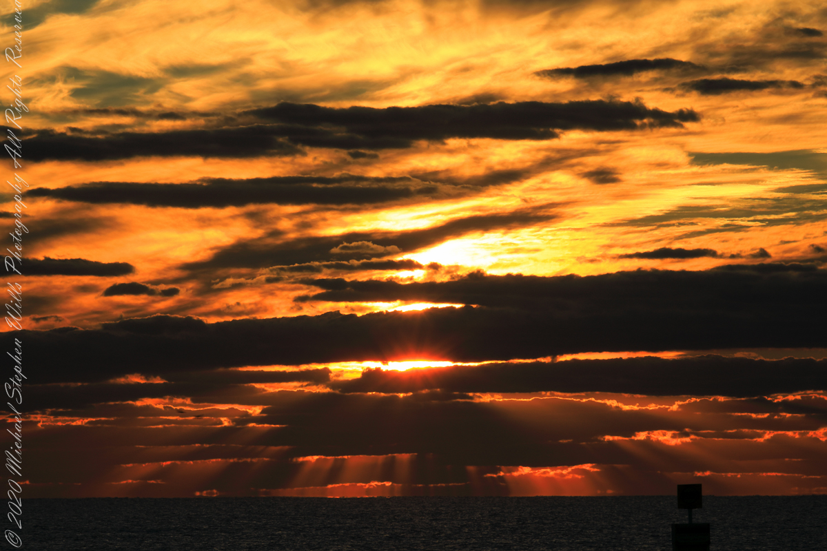
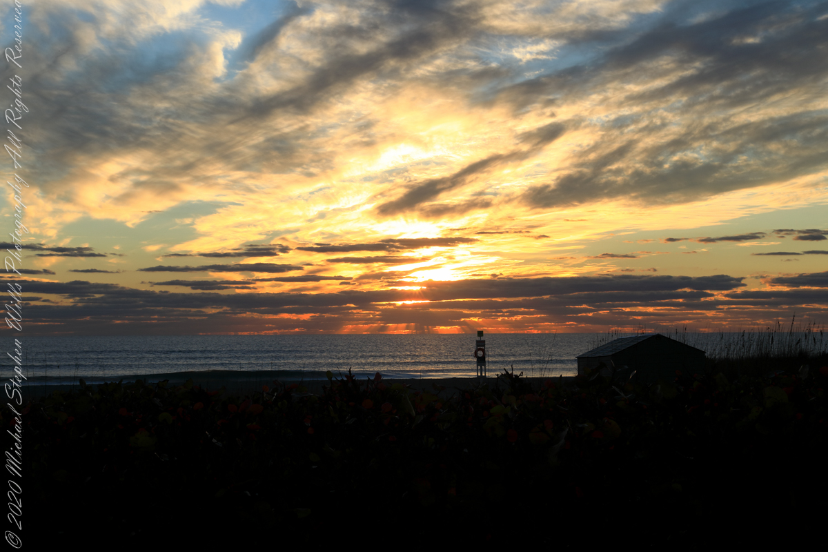
Sunrise has passed in the following photographs, obscured by clouds and making for a great light show. Enjoy!!
References
“Dawn” Wikipedia page, the graphic “Twilight-dawn subcategories,” and the descriptions of subcategories came from this page.
Copyright 2022 Michael Stephen Wills All Rights Reserved
With grandchildren in the Miami Area and a sister in Daytona Beach, Florida was on my mind this morning and memories of this beautiful experience on Cocoa Beach came to mind. After an eventful day touring the NASA launch control center, Pam and I took an evening walk during the golden hour, me with camera in hand.
Full in expectation of catching the passing scene with lots of shot I set to full size jpeg mode using a Sony Alpha 700 dslr with a DT 18-200mm f3.5-6.3 lens. The light was exceptional, so I did not expect much post production work.
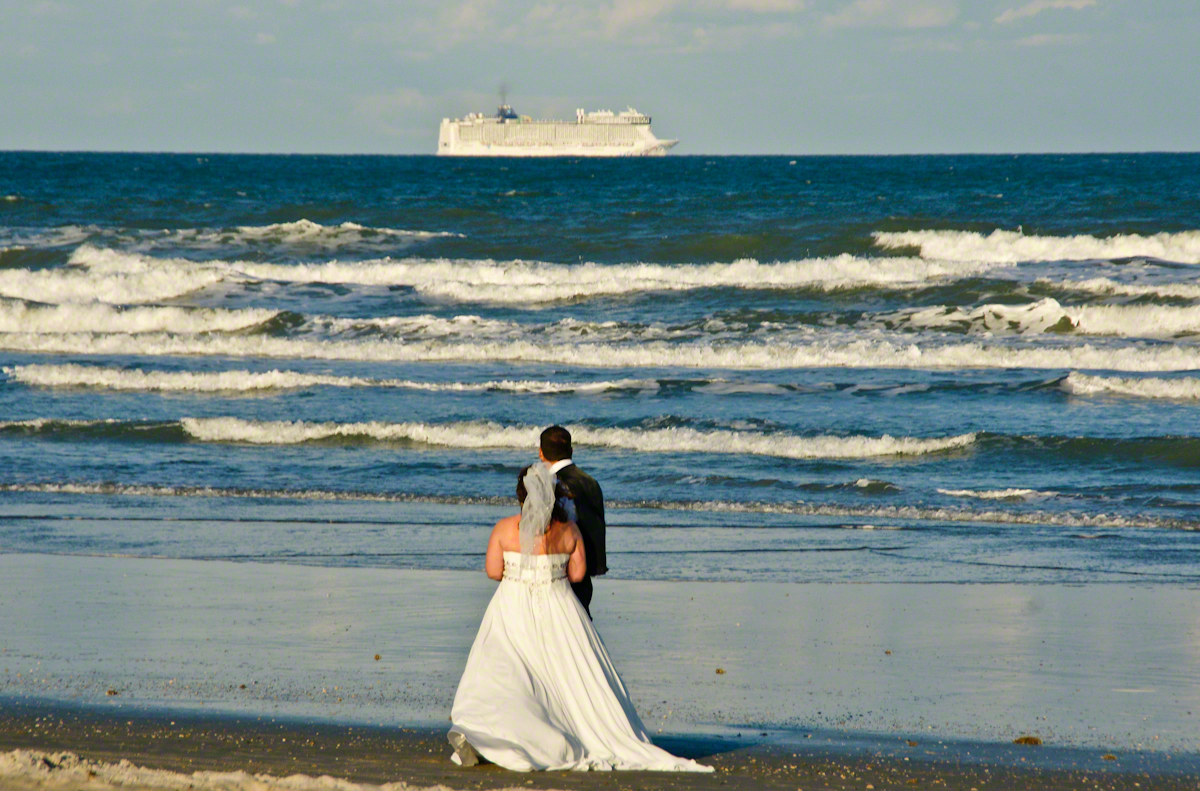
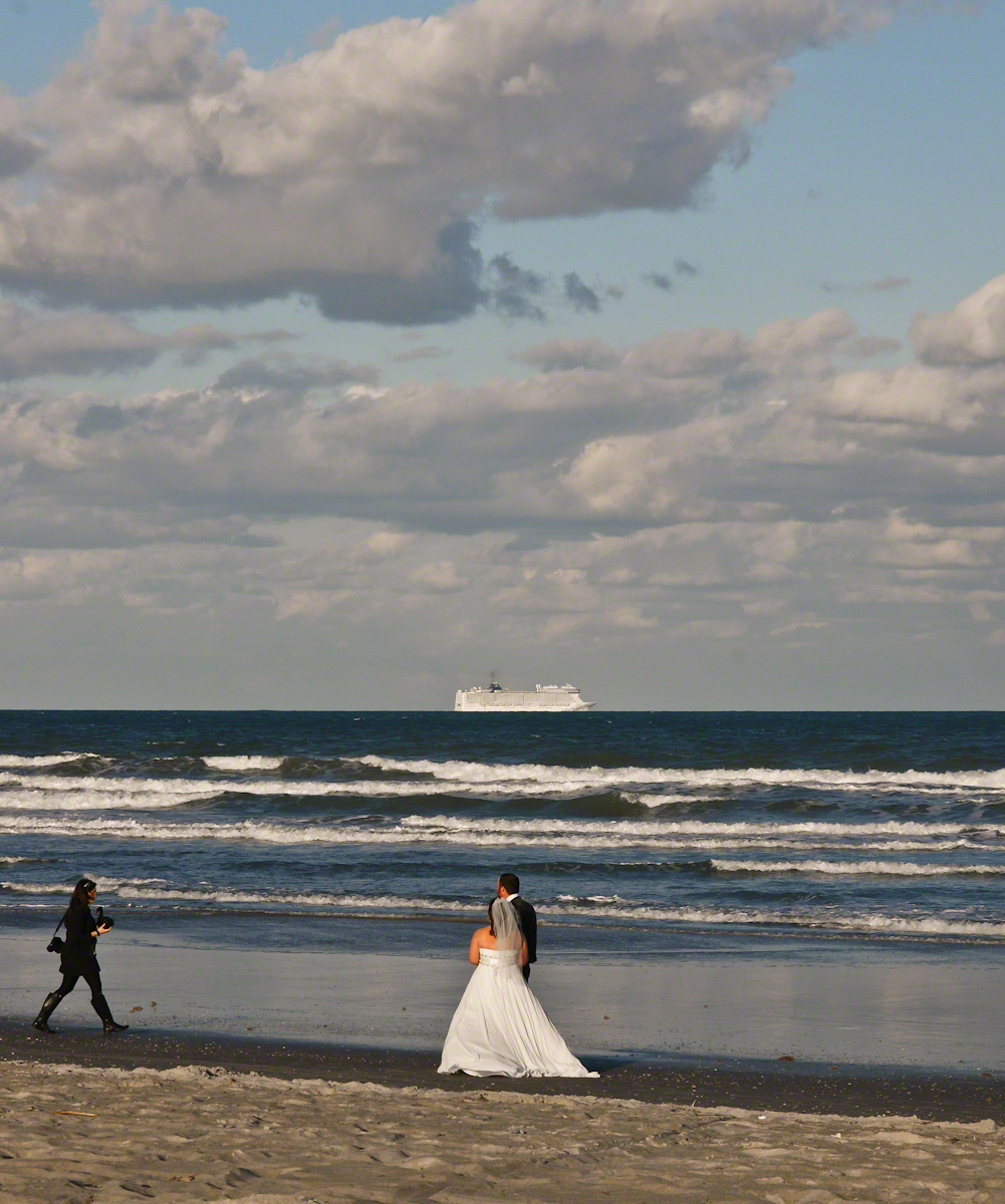
My first impression was of the line of cruise ships heading south from Port Canaveral, the starboard side lit perfectly behind human denizens of the Cocoa Beach shore, in full enjoyment mode. A synergy of the images struck me. I took a few experimental shots then, as we progressed down the beach front this unusual tableau came into view.
Newlyweds on Cocoa Beach give rapt attention to a distant cruise ship, it looks like an elegant child’s toy.
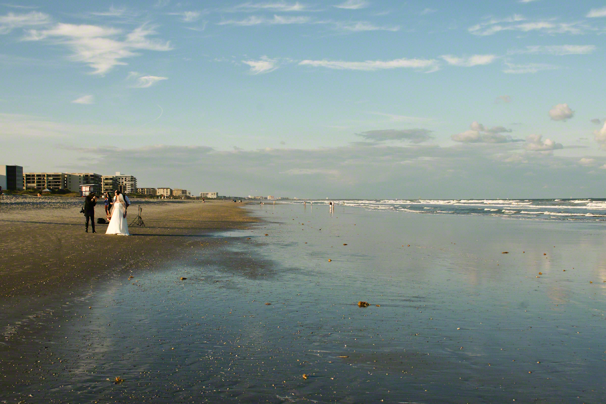
The session proceeded smoothly and professionally, it was a pleasure to watch. I felt no compunction for capturing these private moments on a public beach, the transcendence of the images reflect well on all participants.
Bride and groom pose while photographer composes the shot, her assistant behind.
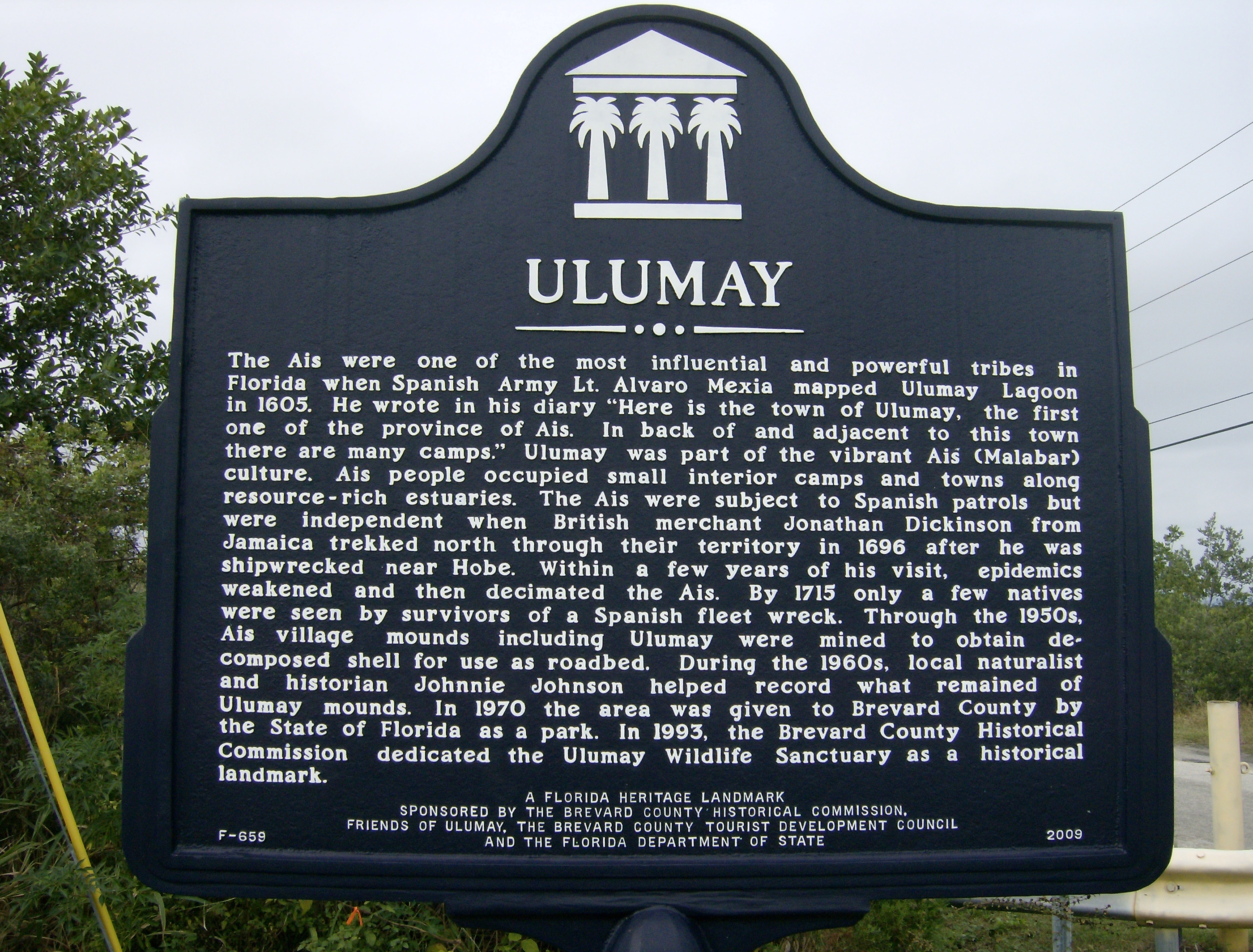
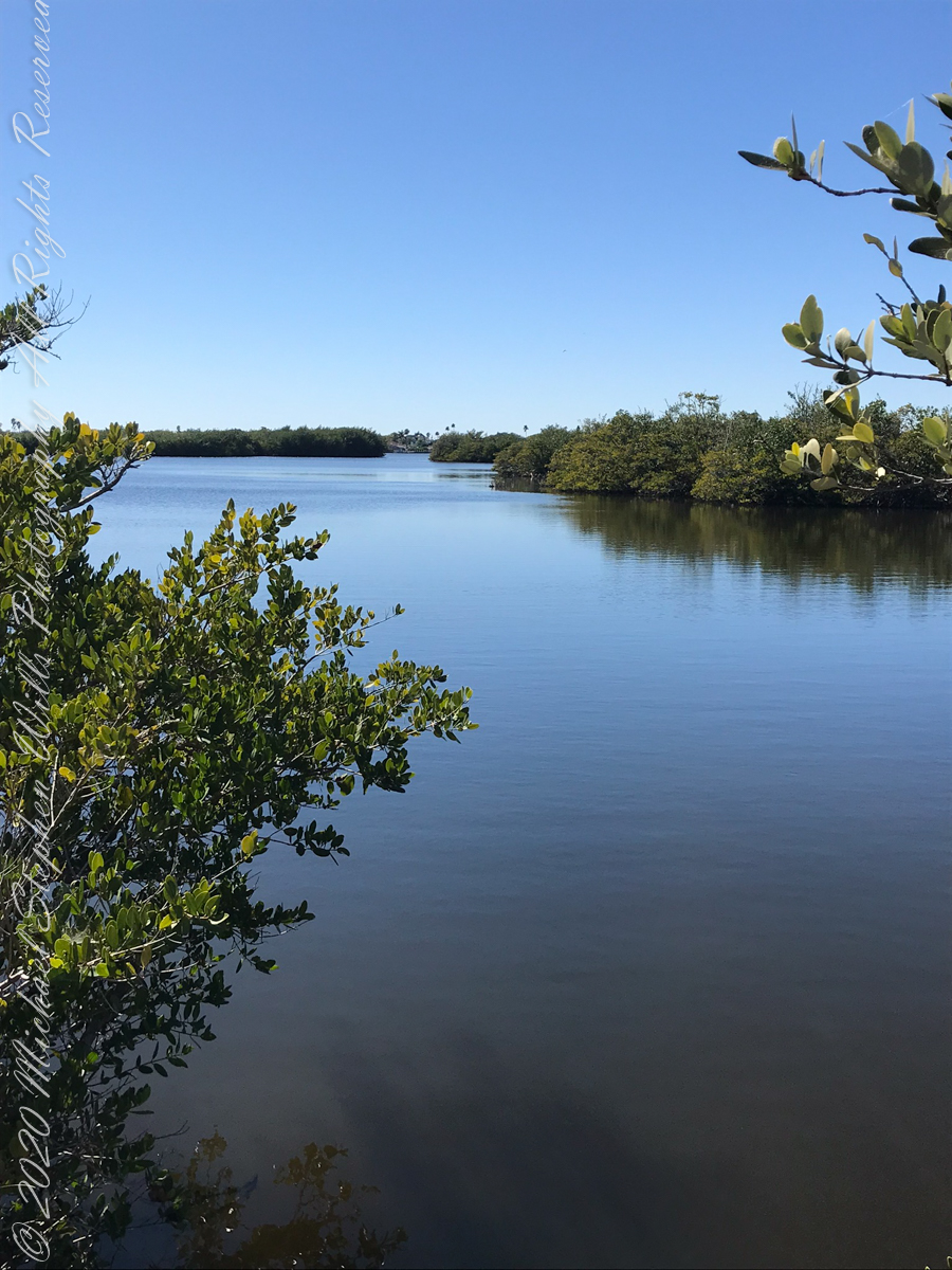
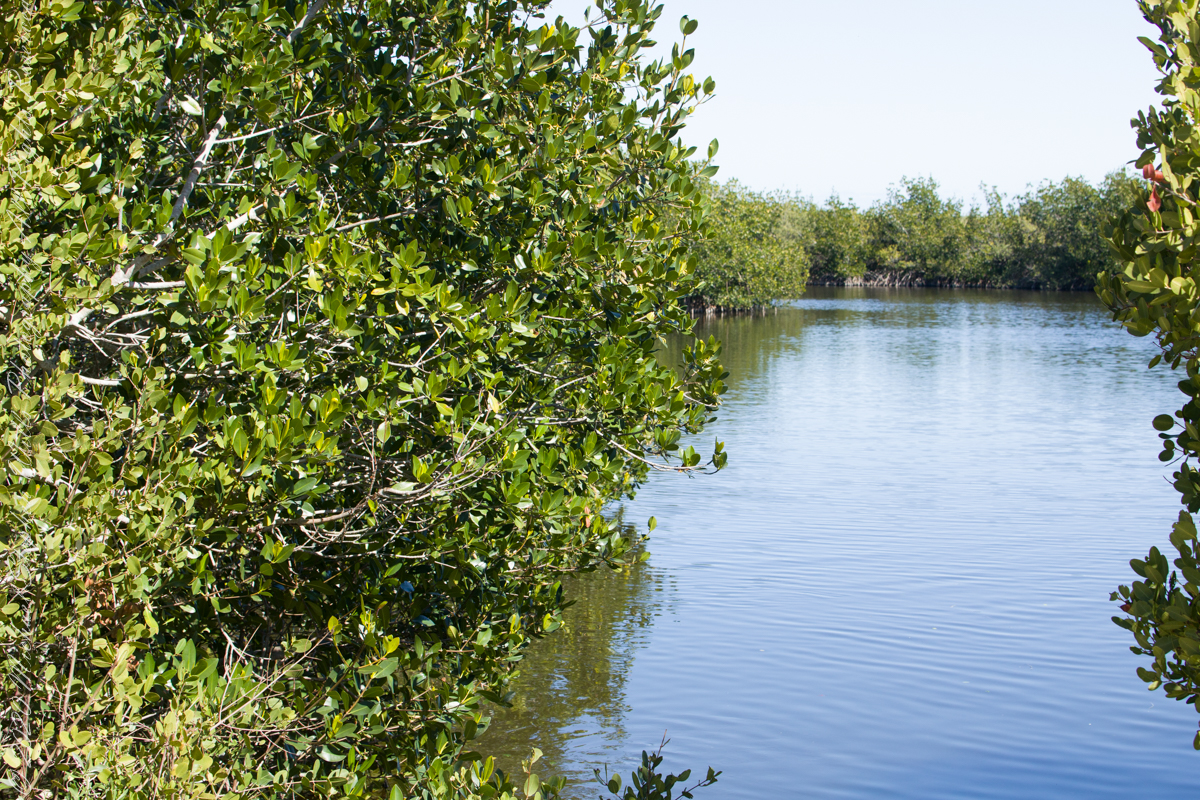
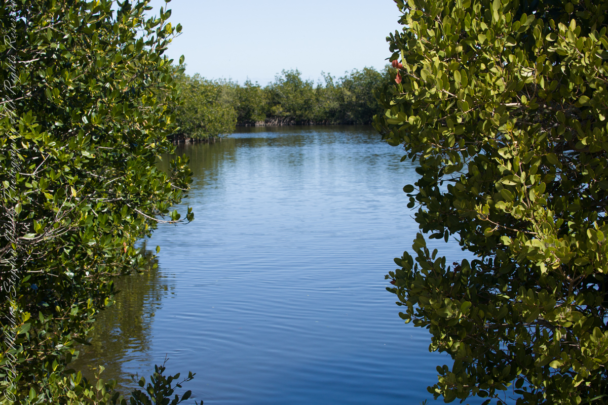
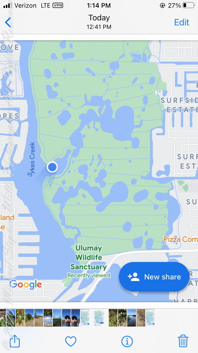
Ulumay is the name of the Native American settlement of the Ais people decimated by disease after the arrival of Europeans. The park is a natural lagoon and bird rookery linked with canals created for mosquito control and surrounded by a manmade dike. A trail on the dike provides access to the waterways for the fisherman, birdwatchers, and paddlers.
Ulumay Marker just off Sykes Creek Parkway
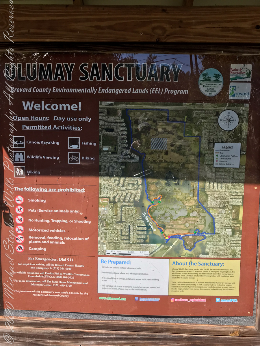
This informative placard, placed at the entrance. Note the 600 park acres is surrounded by residential properties.
I left Pam at the entrance, seen below at the words “Ulumay Wildlife”; she had a reasonable concern about alligators. It is quite possible to find a large specimen blocking the one and only trail. “What? Me Worry?” When pursued by an alligator, remember to zig-zag.
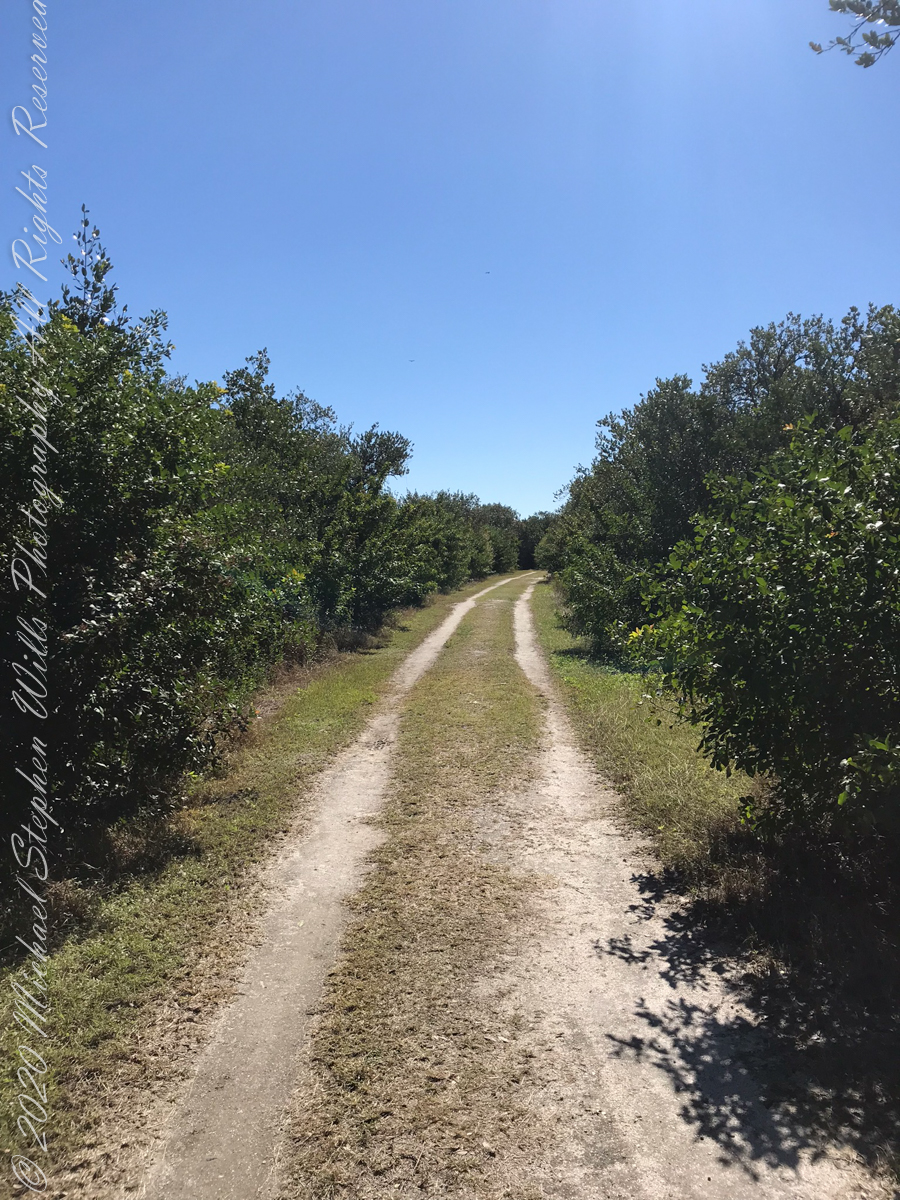
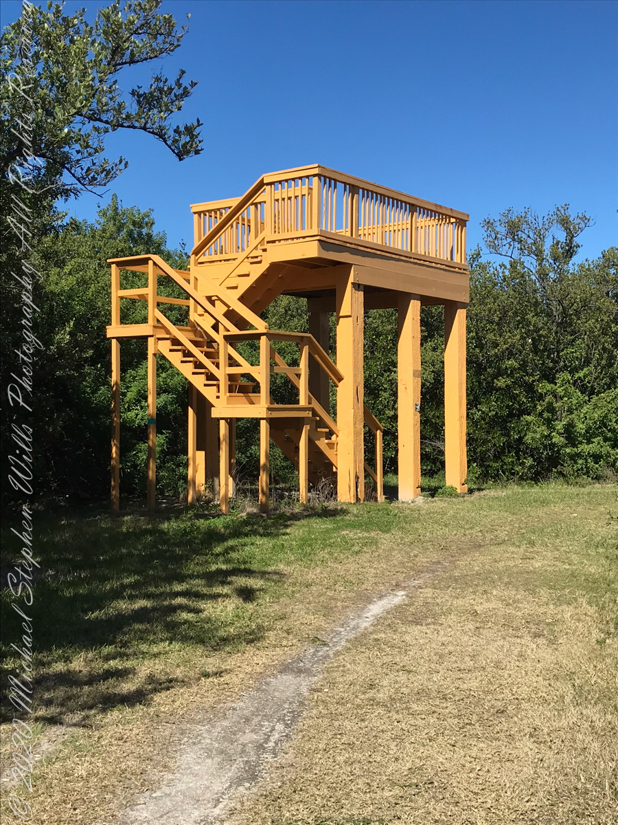
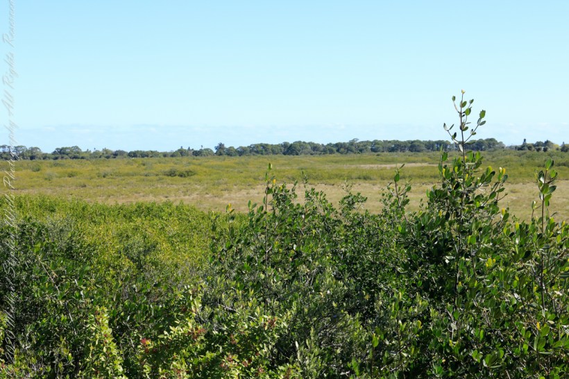
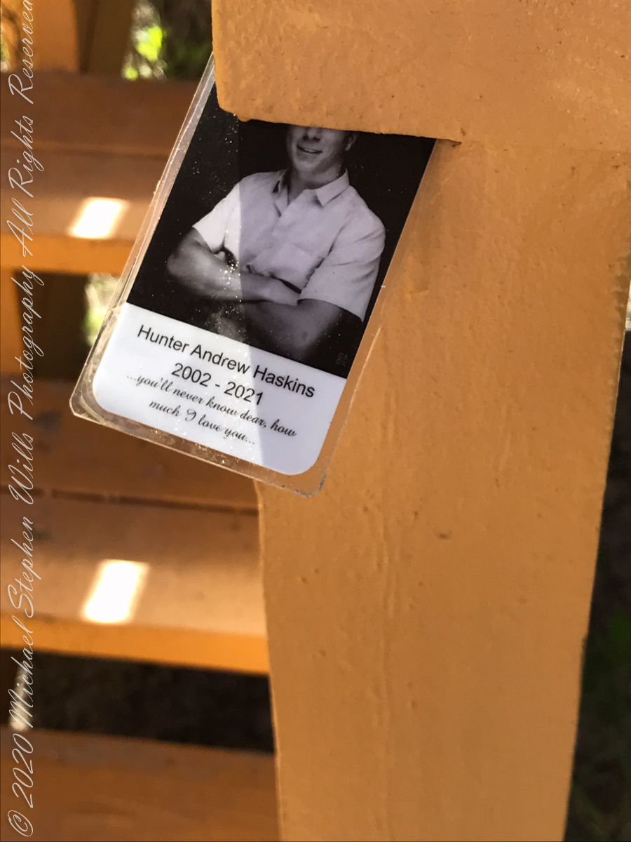
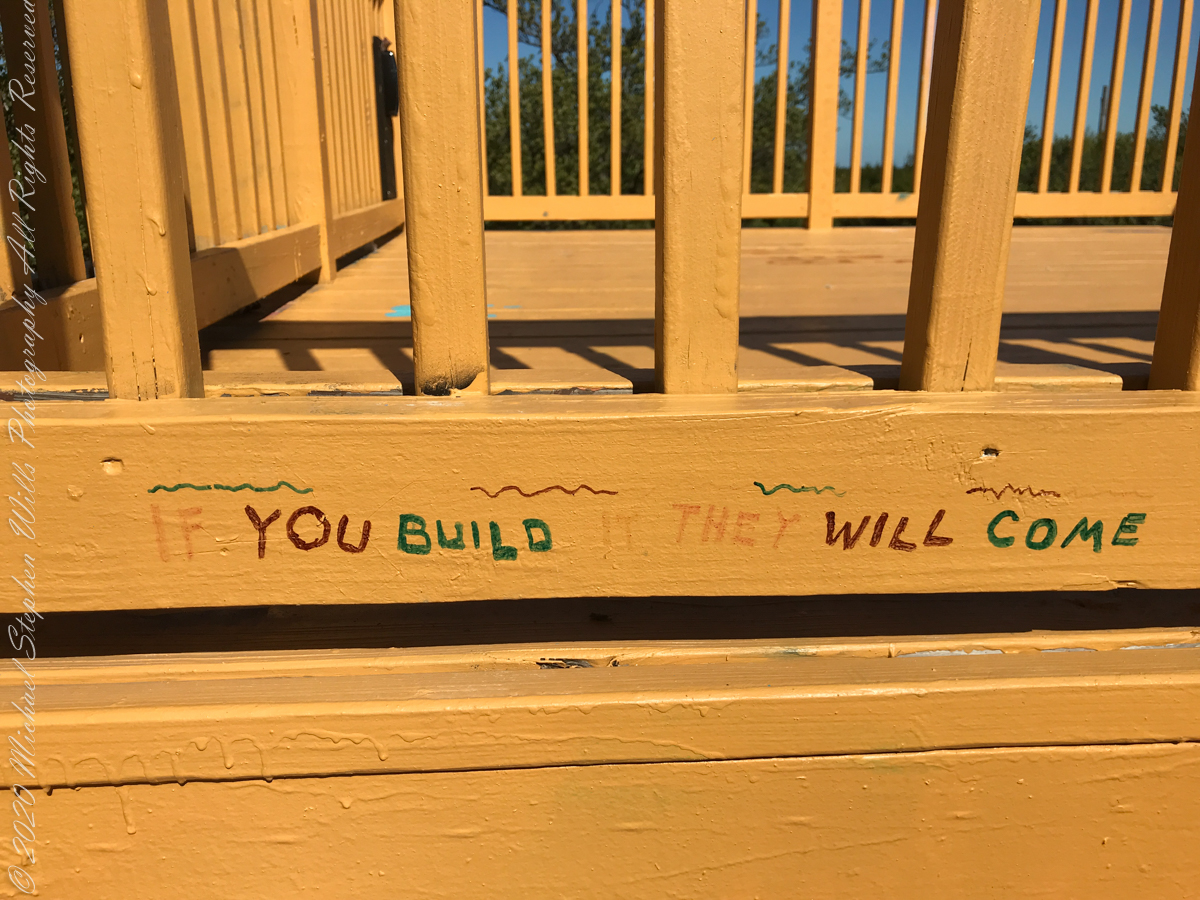
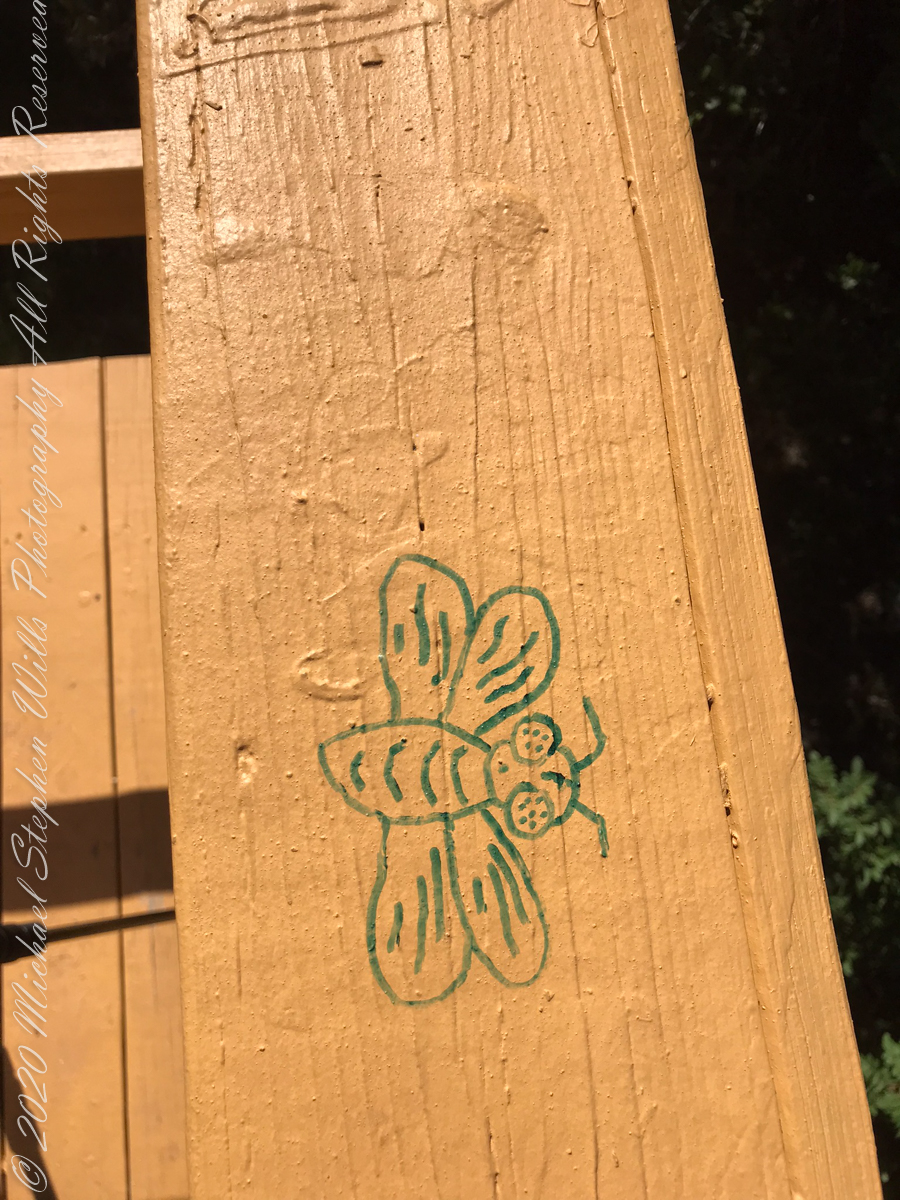
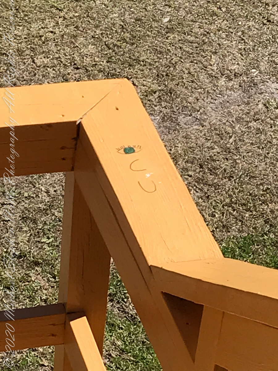
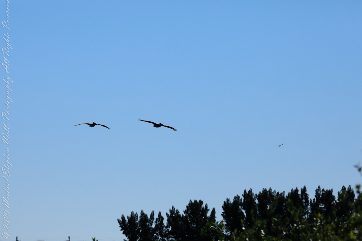
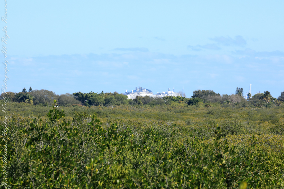
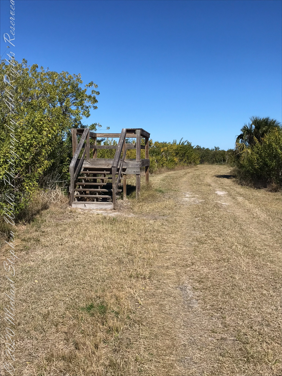
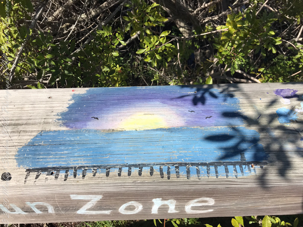
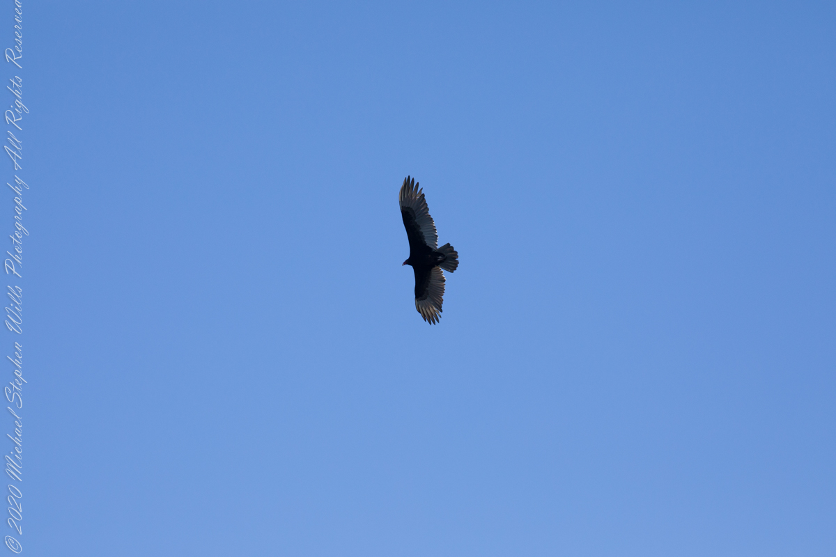
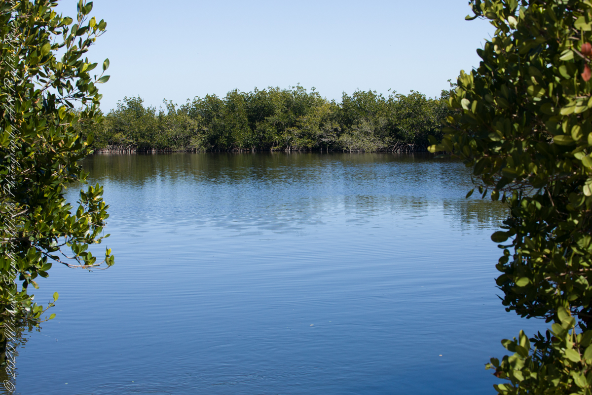
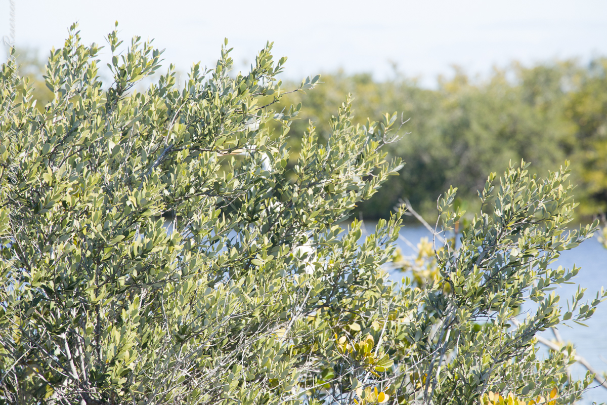
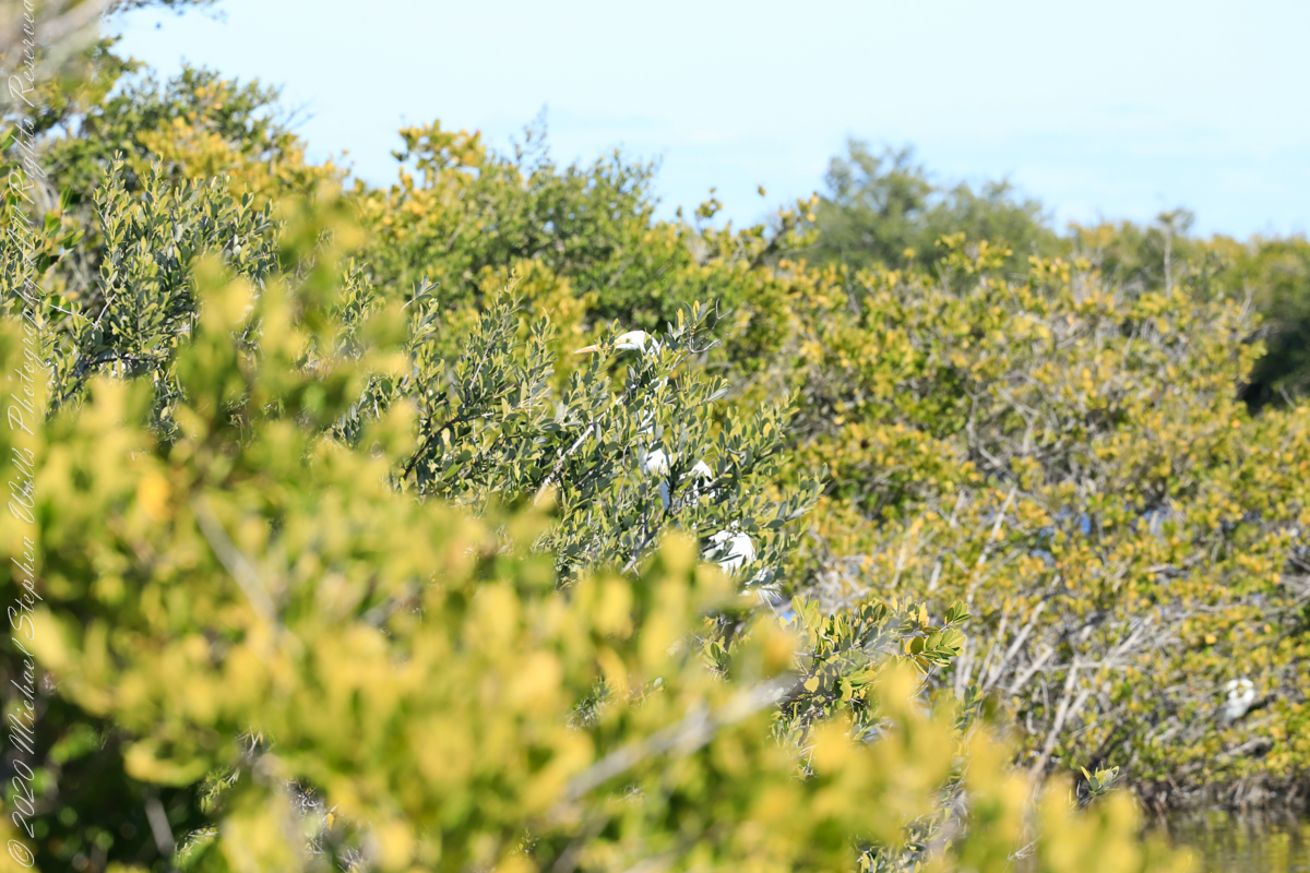
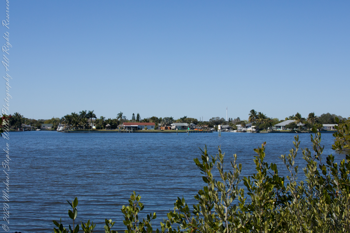
Path along the dike, thick vegetation on both sides generally limits the view.First StandView from standMemorial“If you build it….”Insect Repellant Advisement“I see you”PelicansCanaveral Cruise Port across the Banana River (really a lagoon).
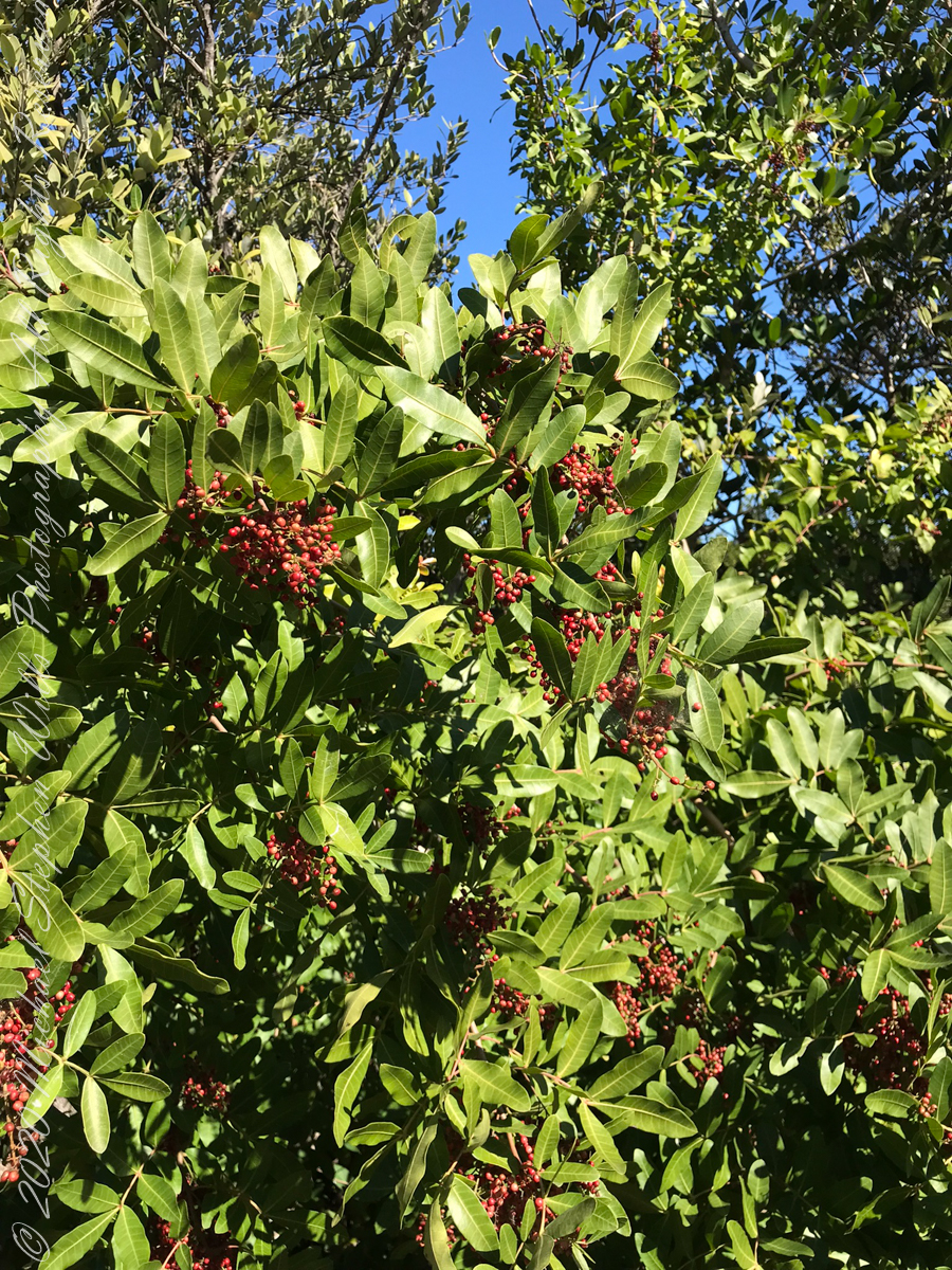
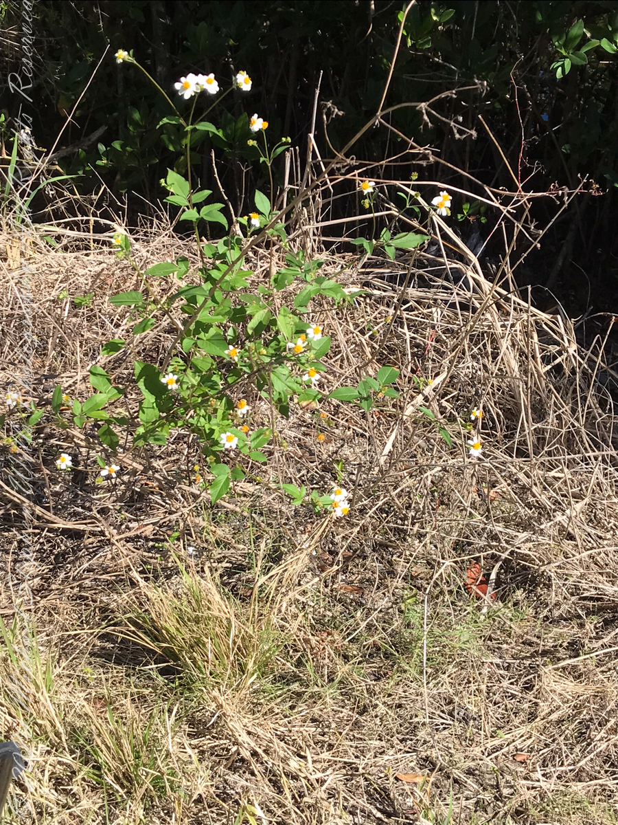
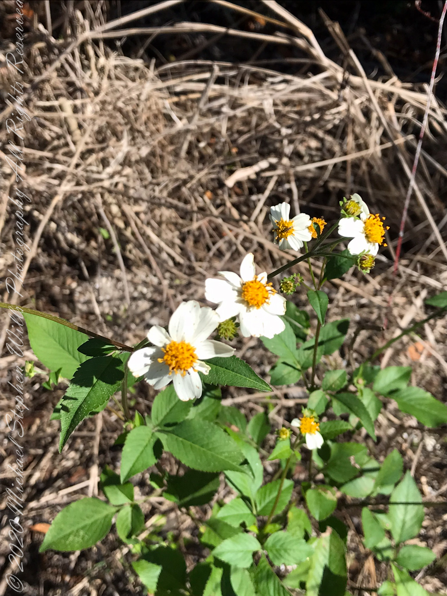
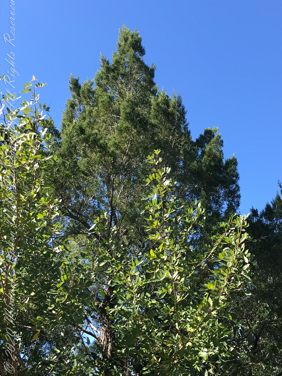
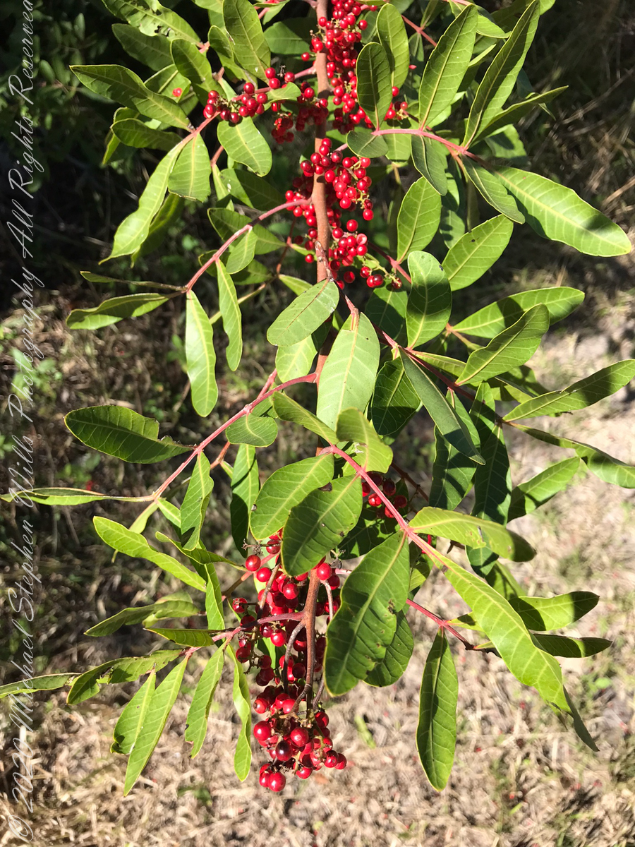
“Flora and Fauna”
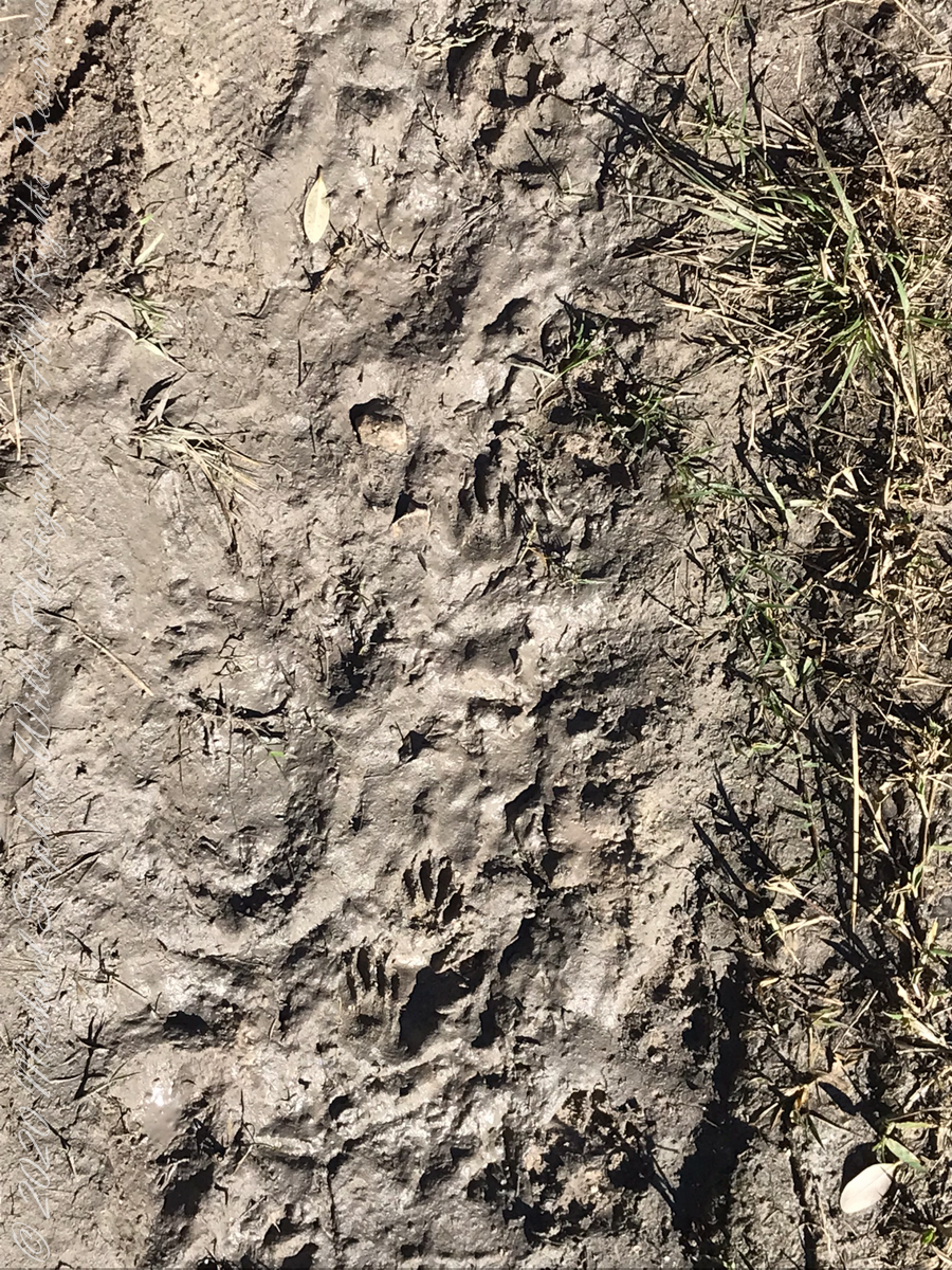
Raccoon Tracks
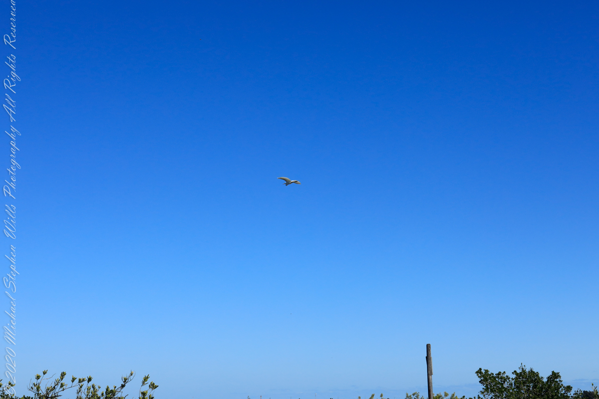
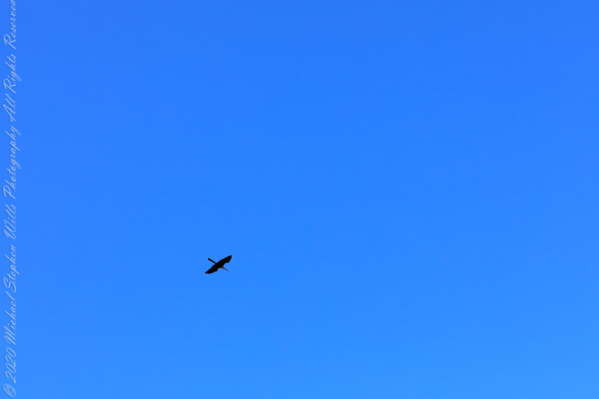
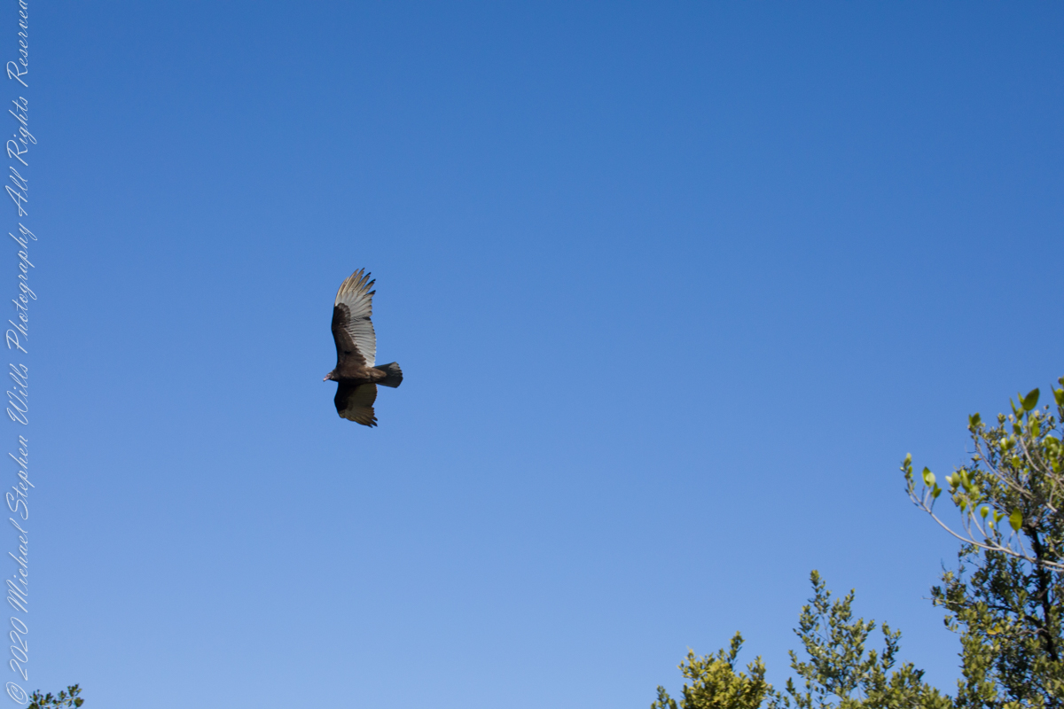
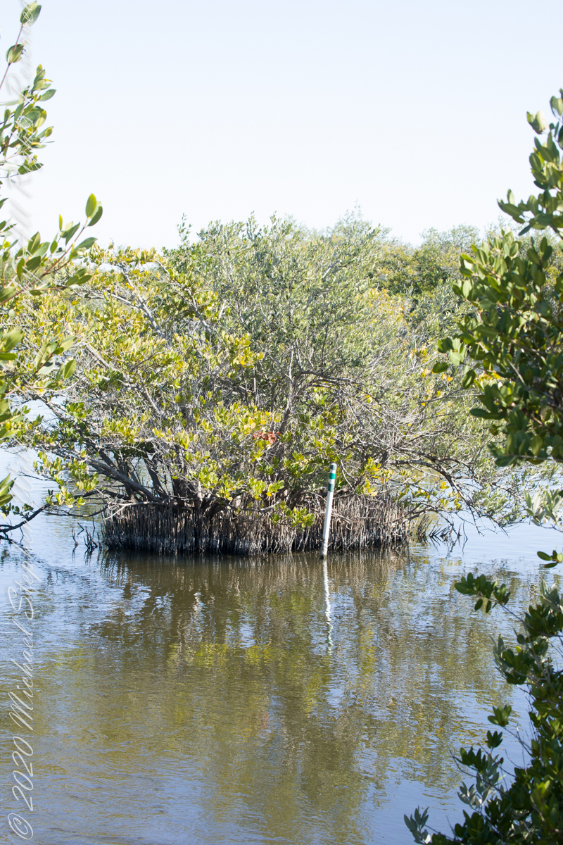
Waterways, sightings
Second Stand
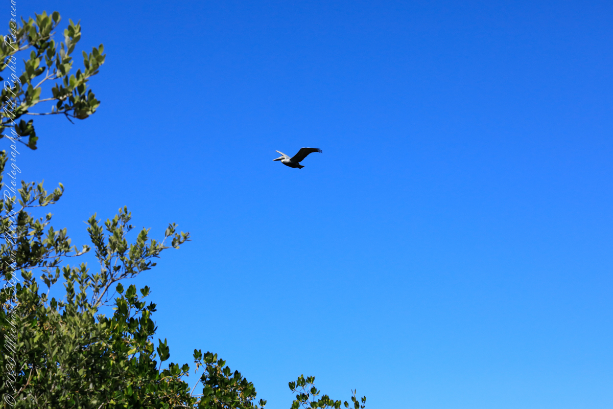
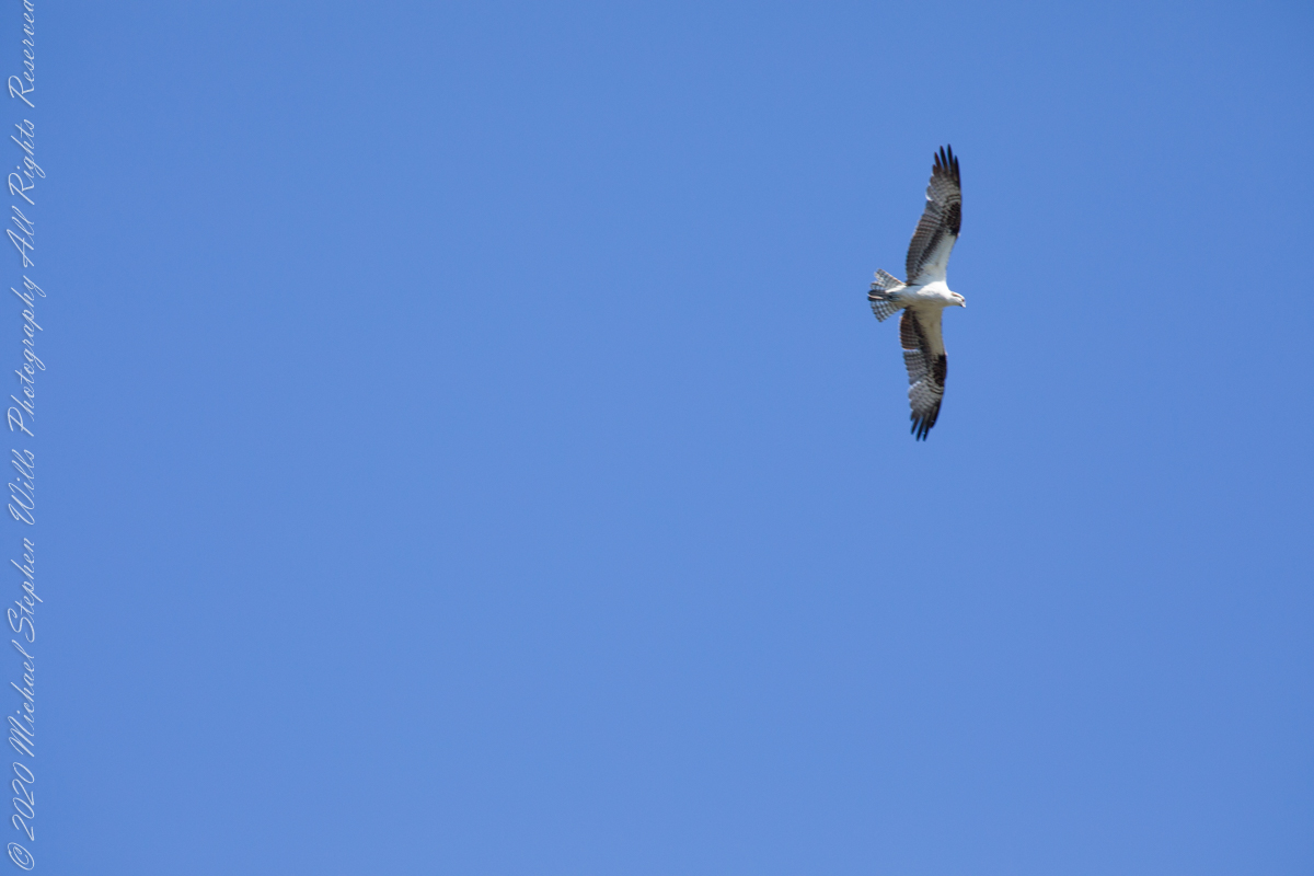
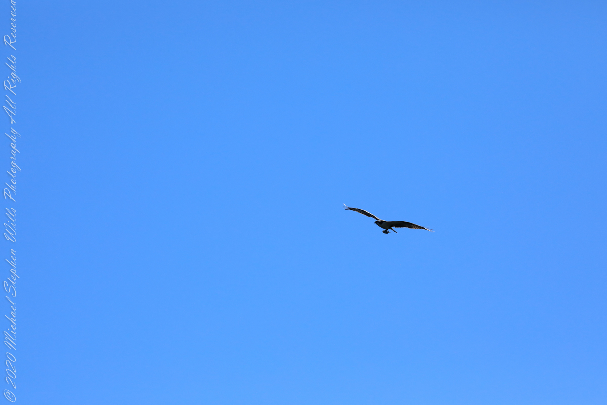
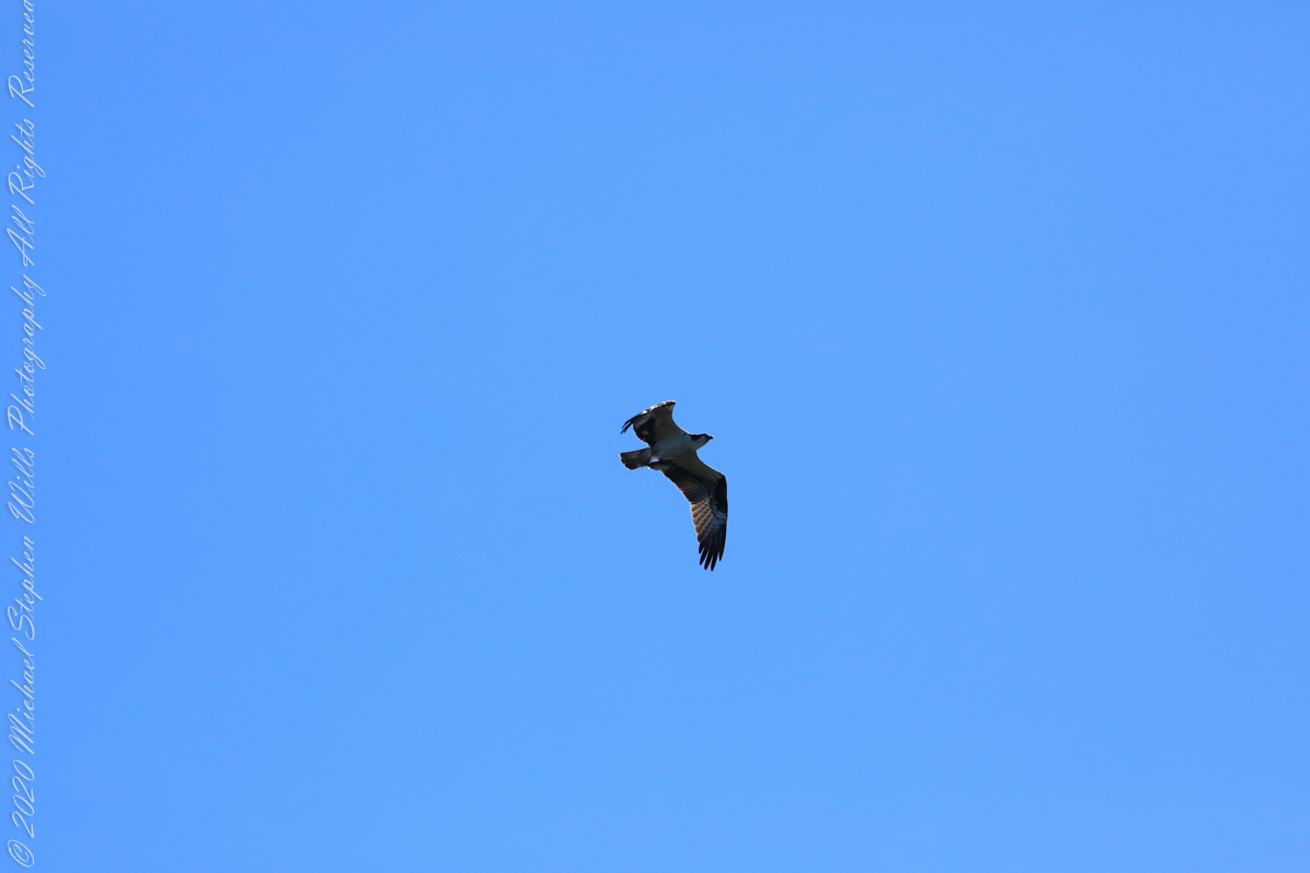
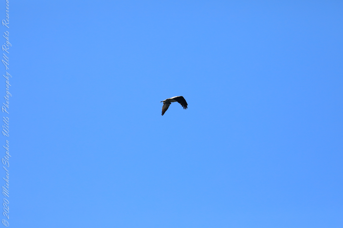
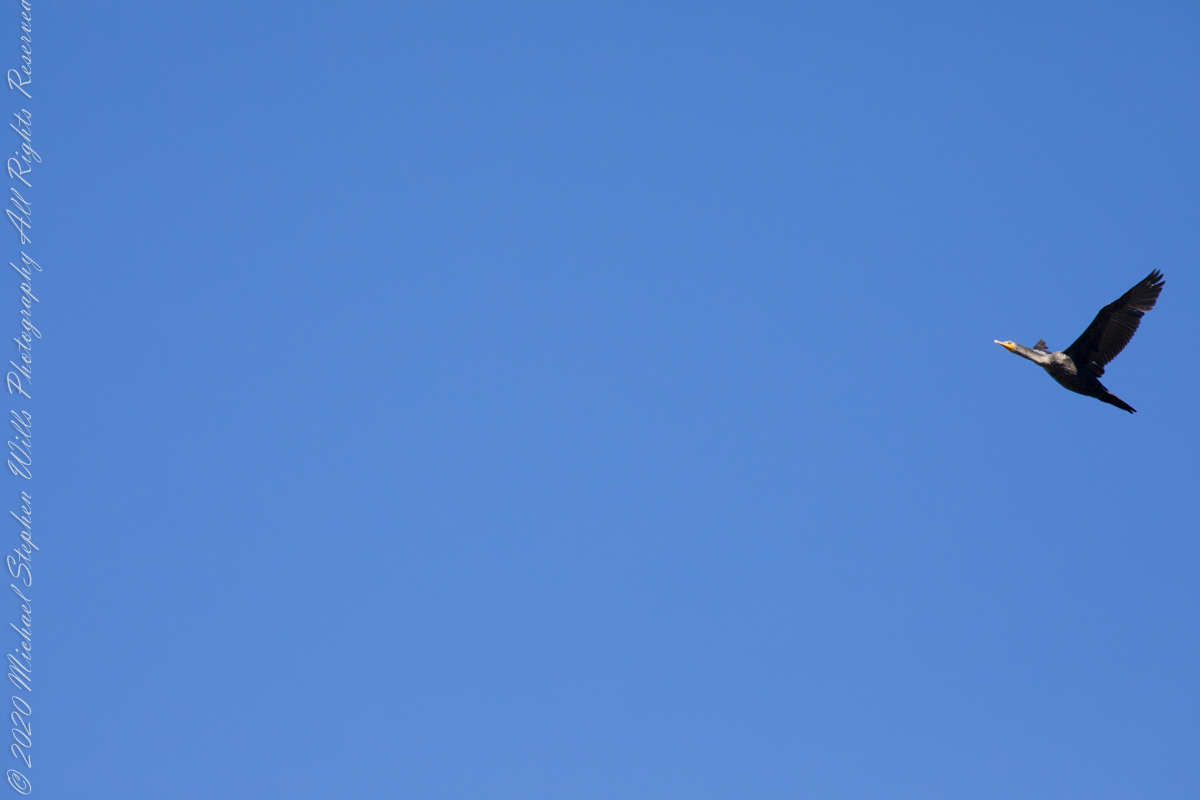
Osprey with catchI see You
Third Stand
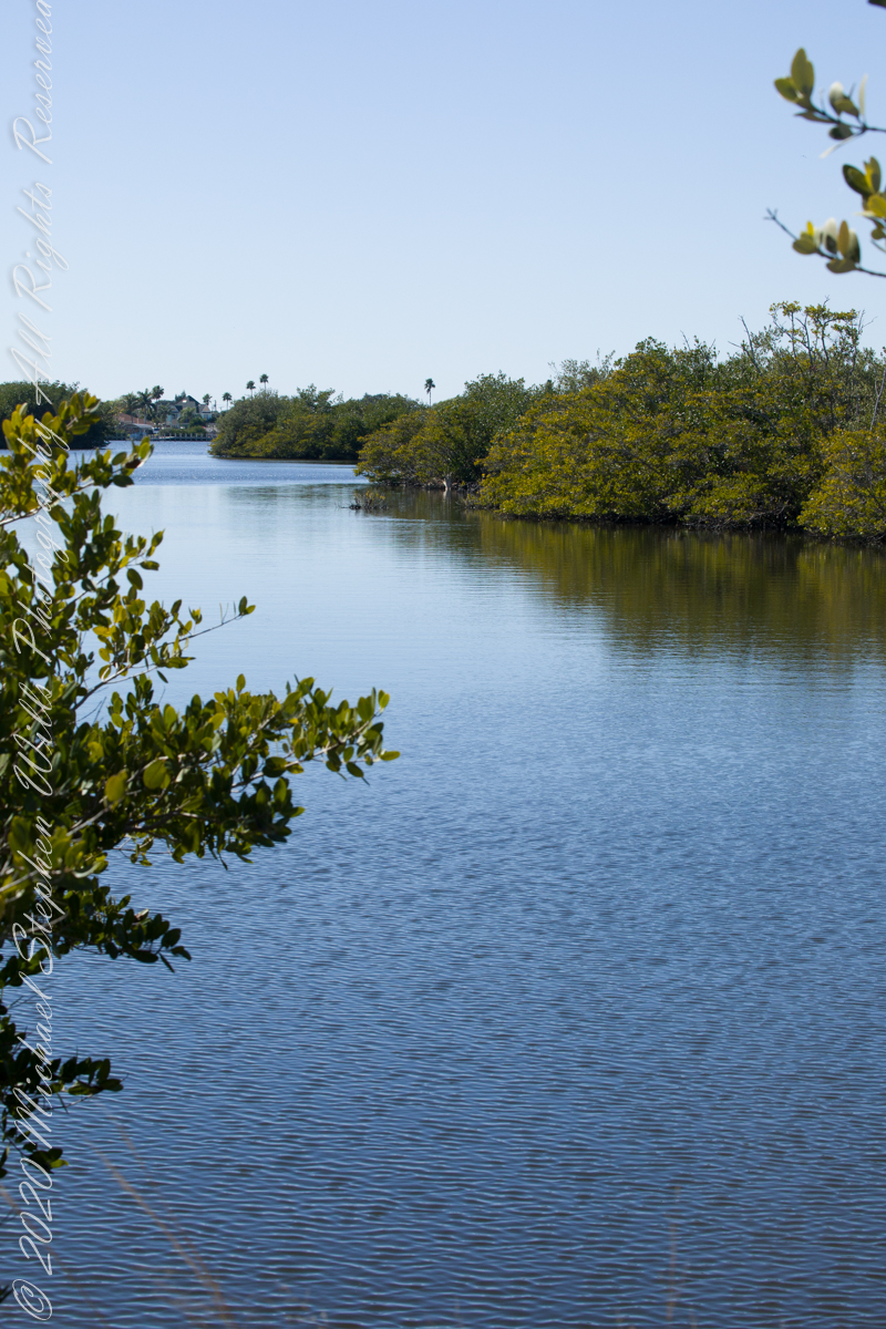
Location of third standCivilization across Sykes Creek (really a lagoon).
No sightings of alligators or manatees.
Copyright 2022 Michael Stephen Wills All Rights Reserved