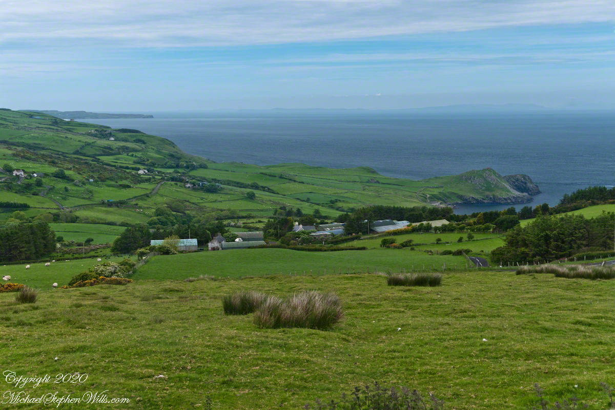
2014, the count of townlands on and around the island of Ireland was 61,098 with most of Irish Gaelic origin predating the Norman invasion, first recorded in 12 century church records. The names have a pride of place reflected in the beauty of the namestones along Torr Road.
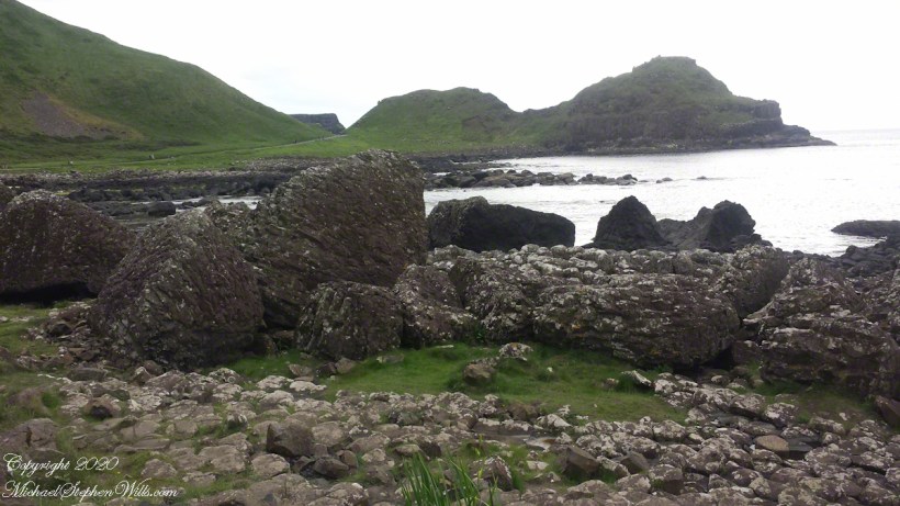
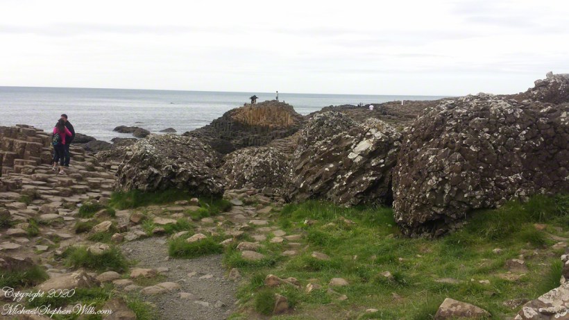
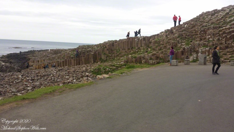
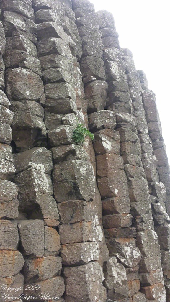
Click photograph for a larger view. To do this from WordPress Reader, you need to first click the title of this post to open a new page.
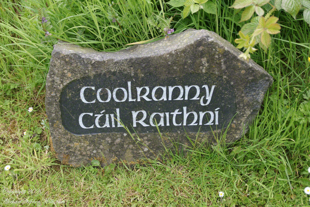
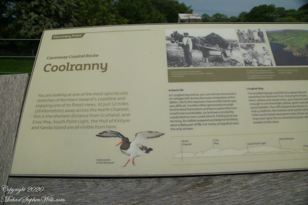
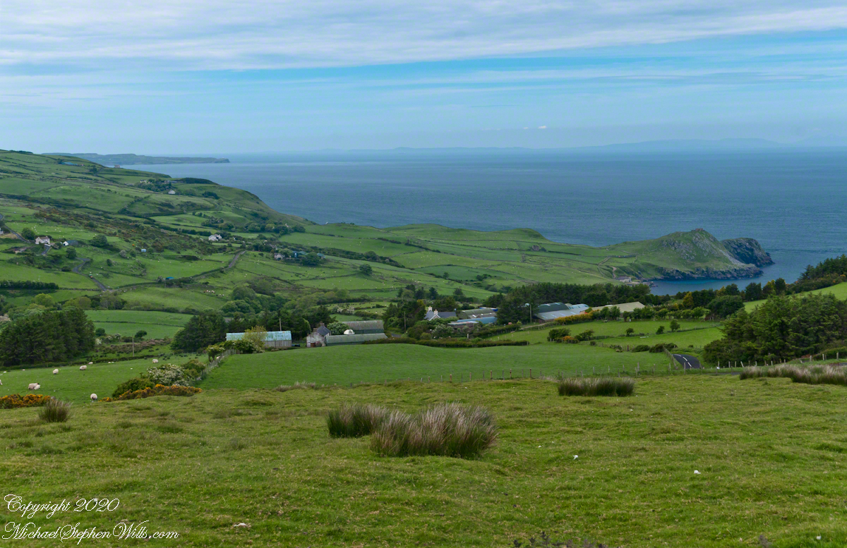
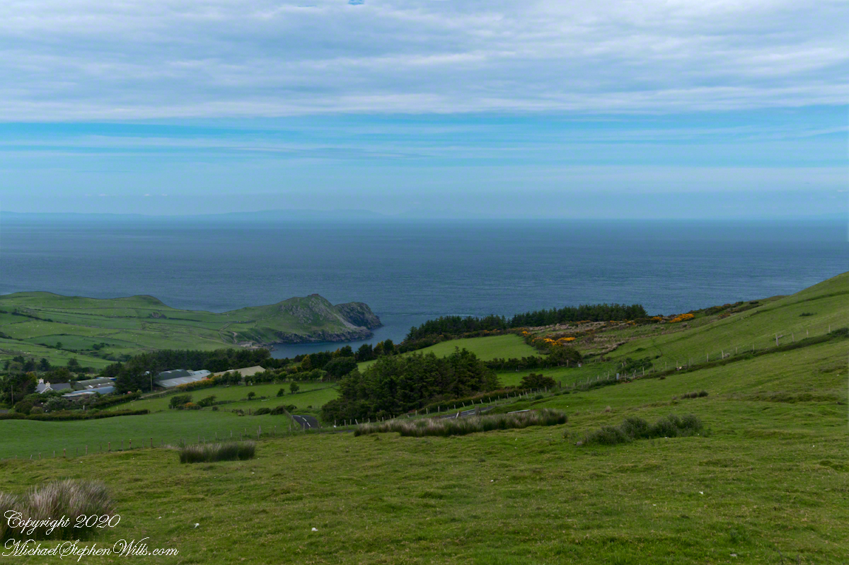
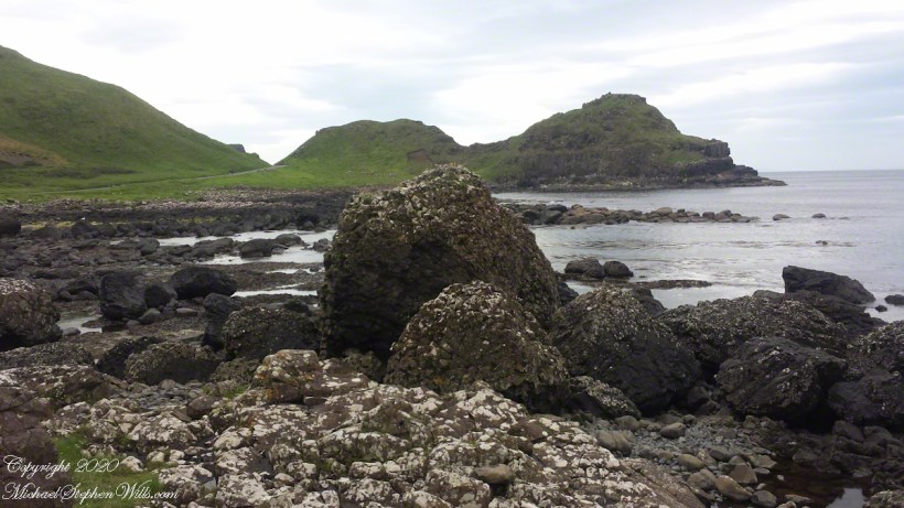
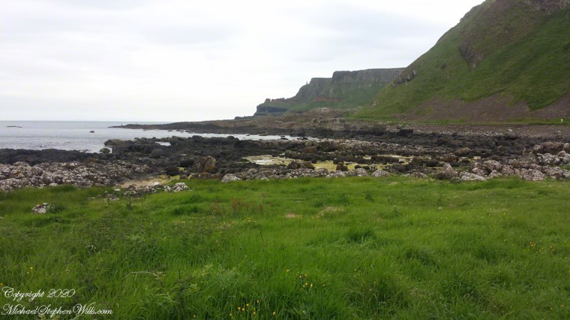
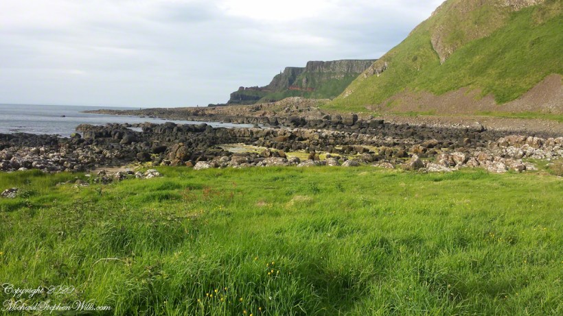
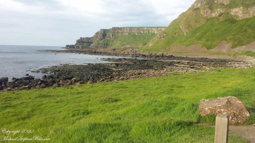
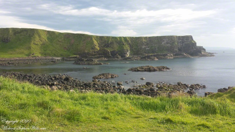
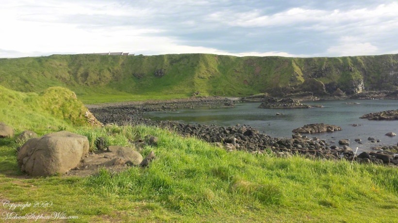
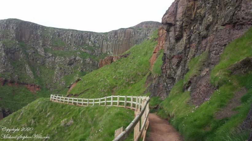
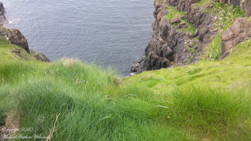
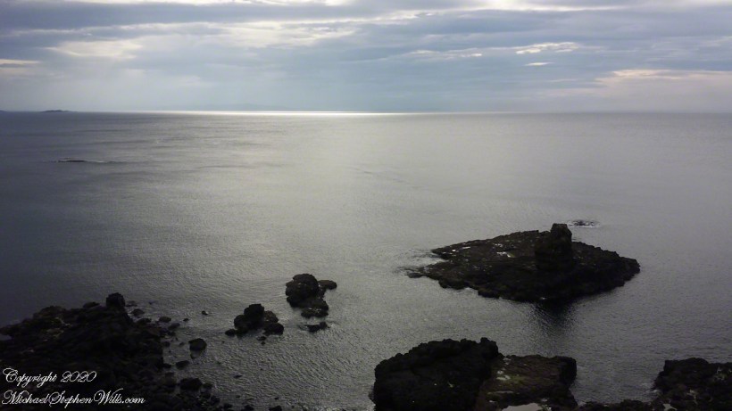
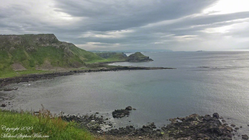
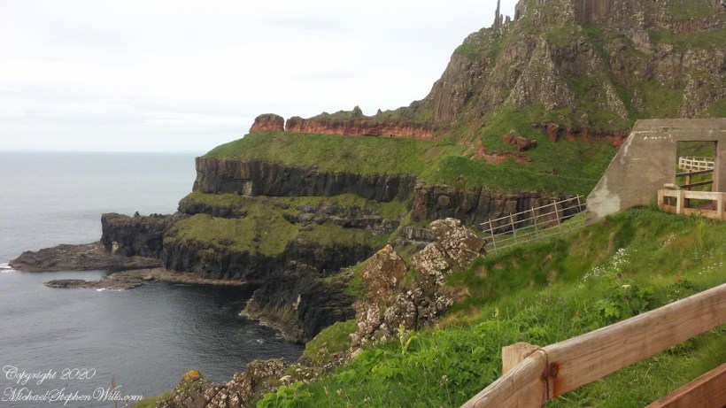
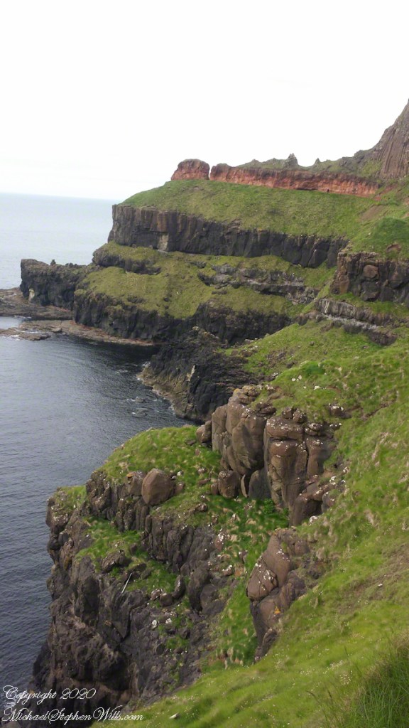
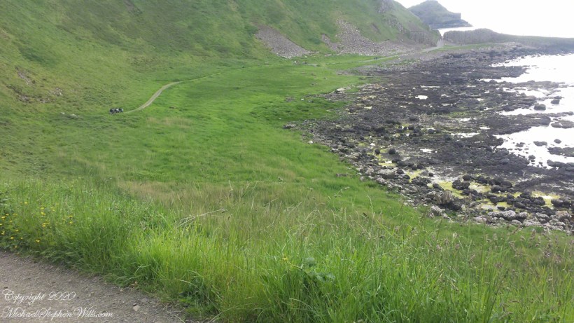
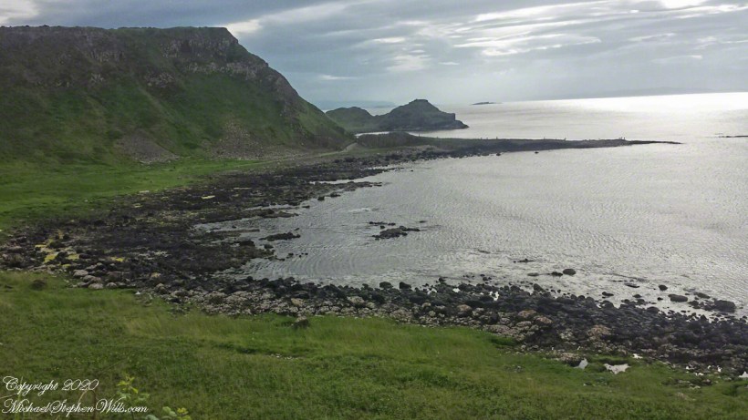
The 82 acres of Coolranny forms a slice of land running from a ridge to Loughan Bay off the North Channel of the Irish Sea across from Scotland.
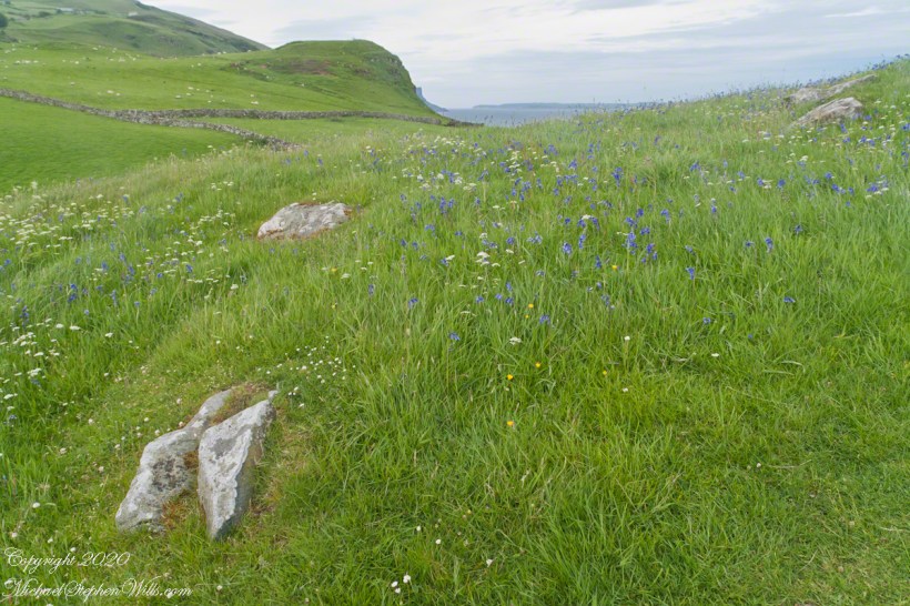
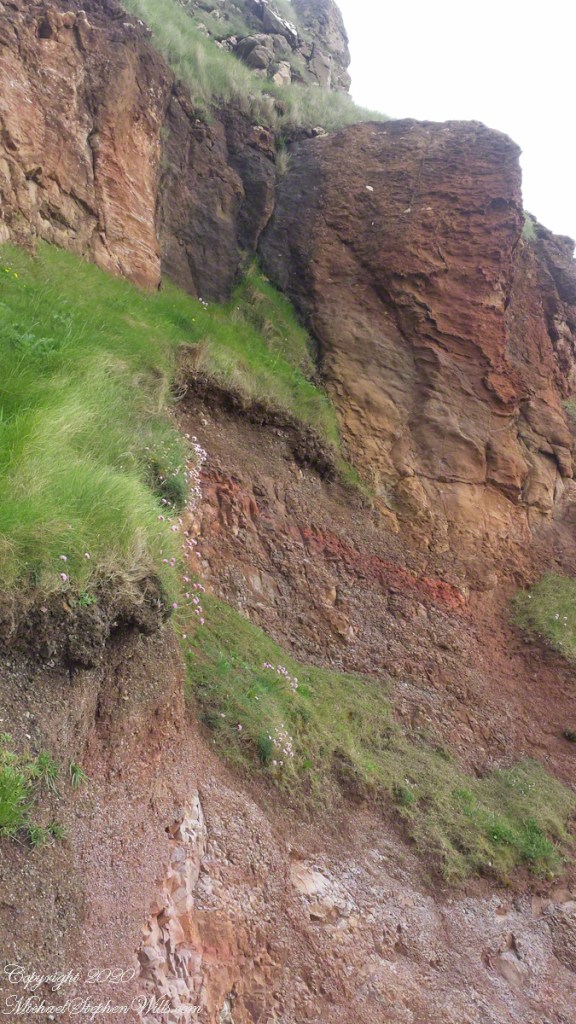
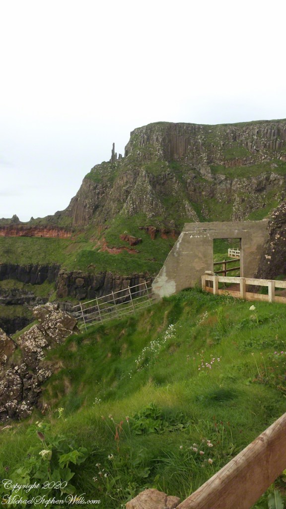
See this post for a description of wildflowers flowering here in the month of June.
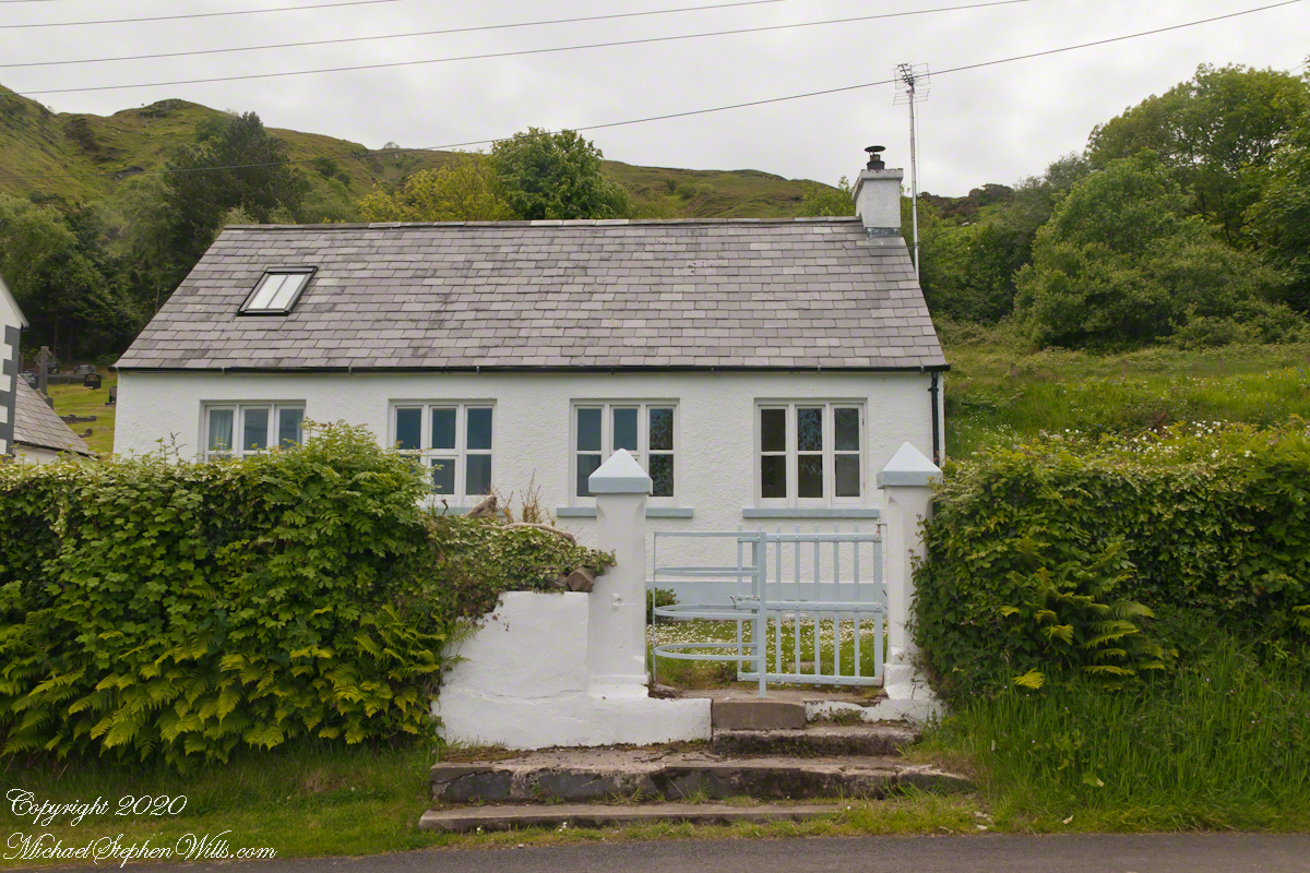
A spic and span cottage on Torr Road, maybe the rectory for the Saint Mary’s Star of the Sea church.
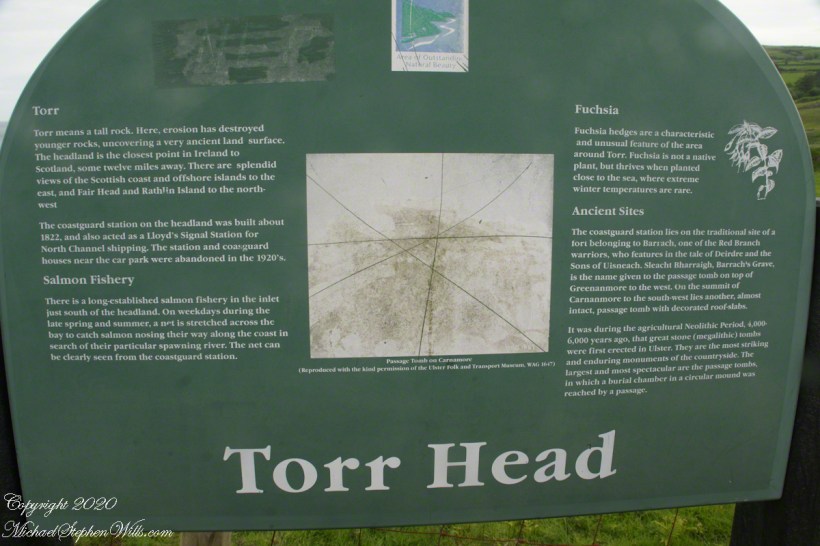
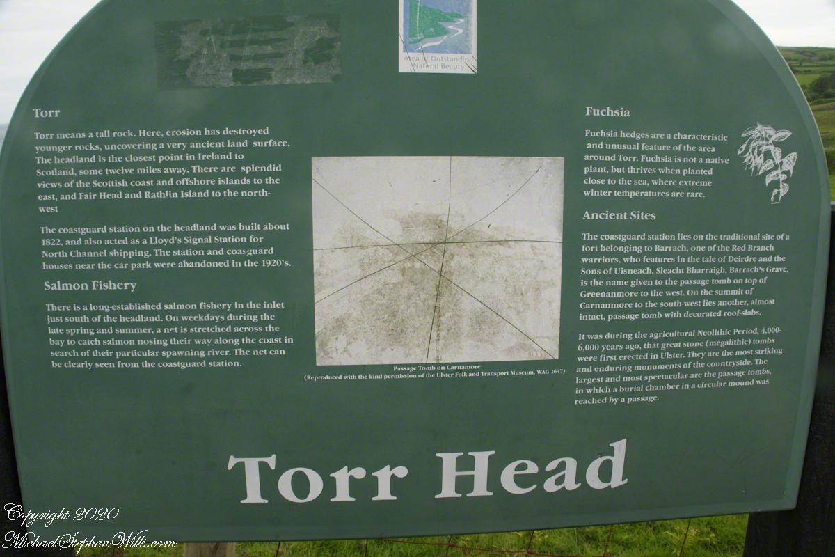
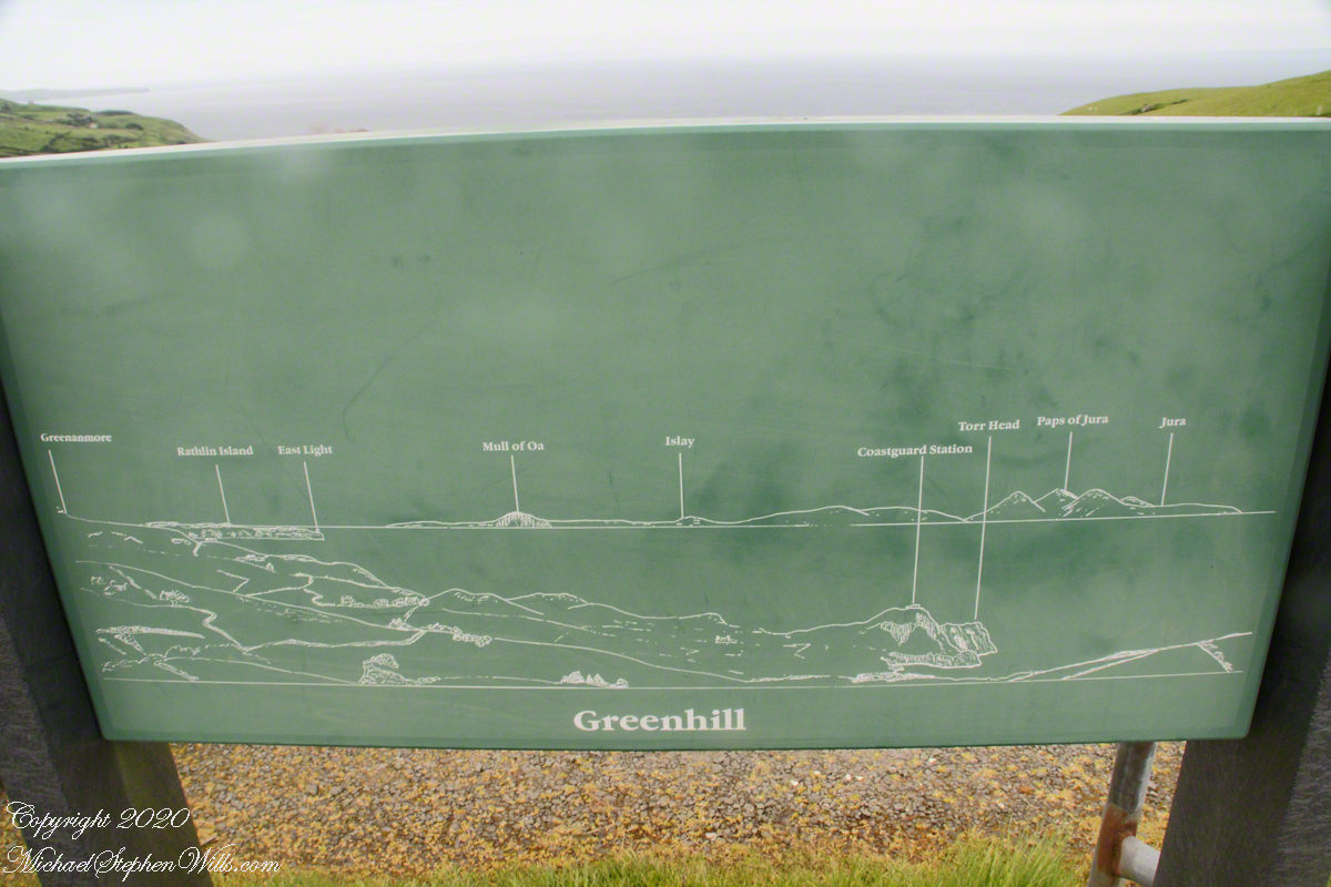
An informative placard.

Here is a slideshow of this post’s images. To visit from WordPress Reader, you need to first click the title of this post to open a new page.