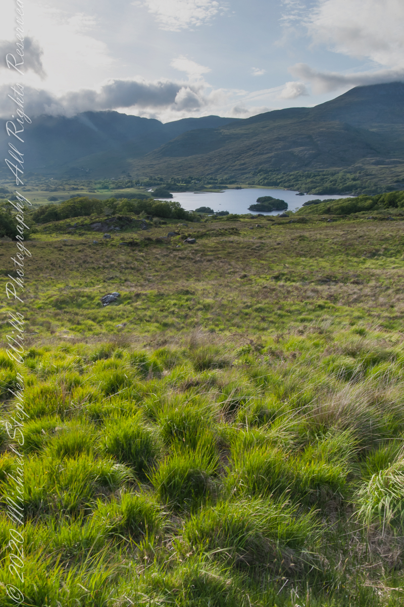
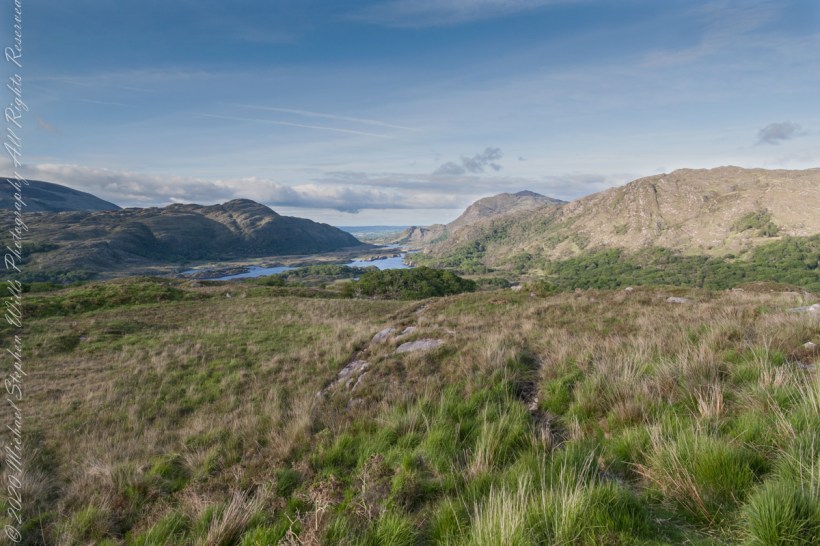
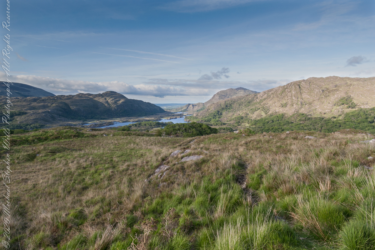
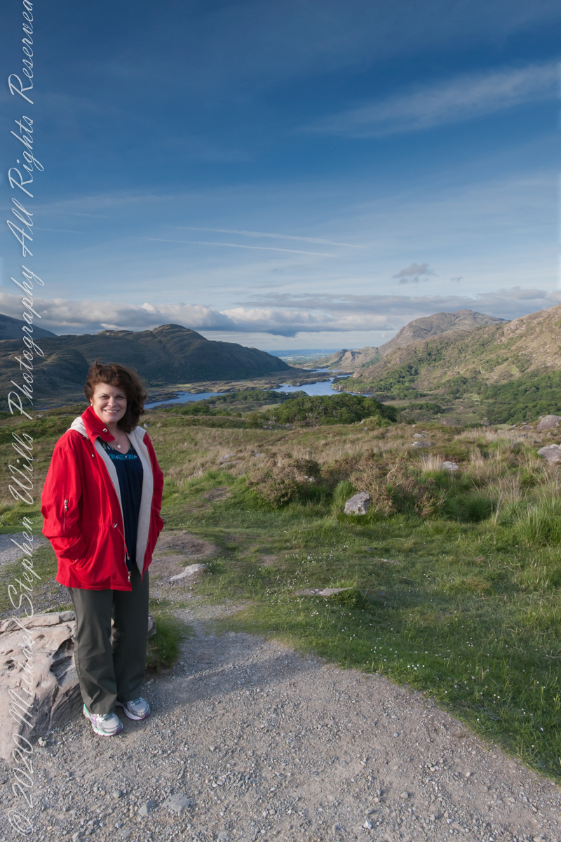
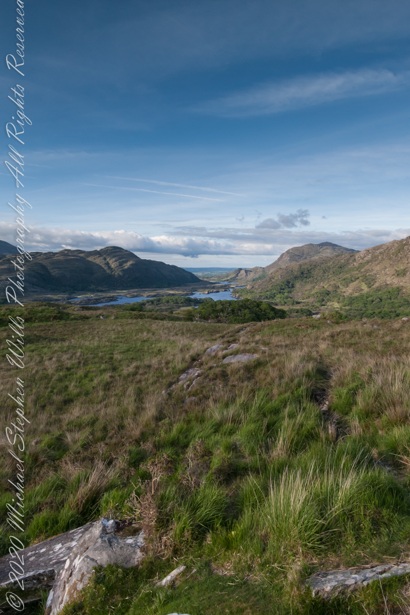
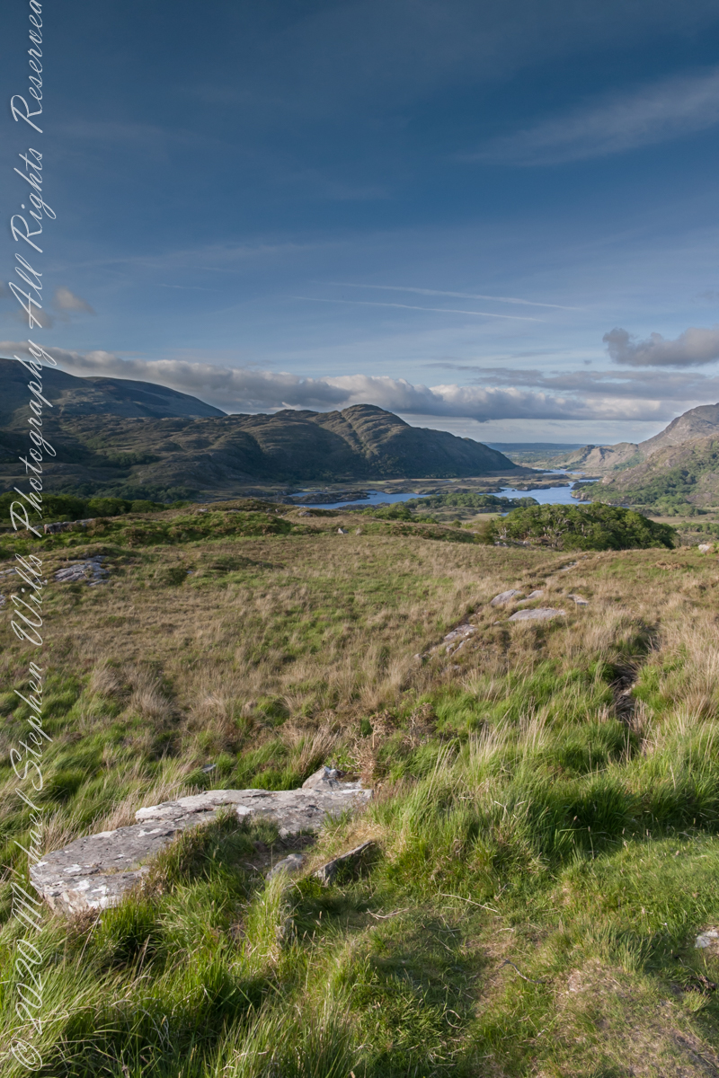
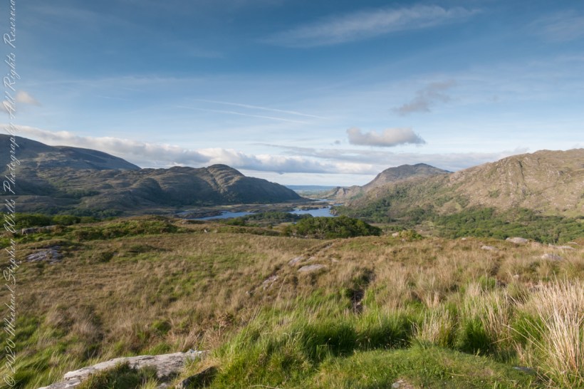
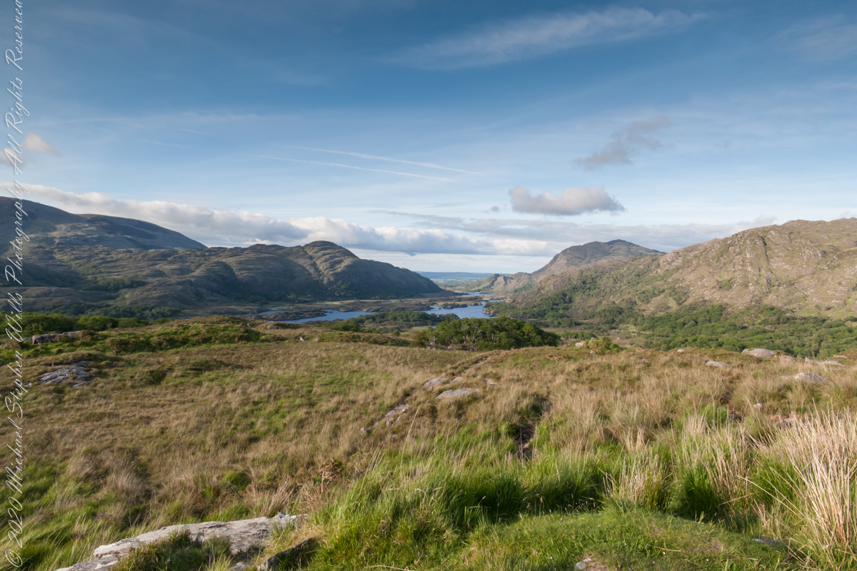
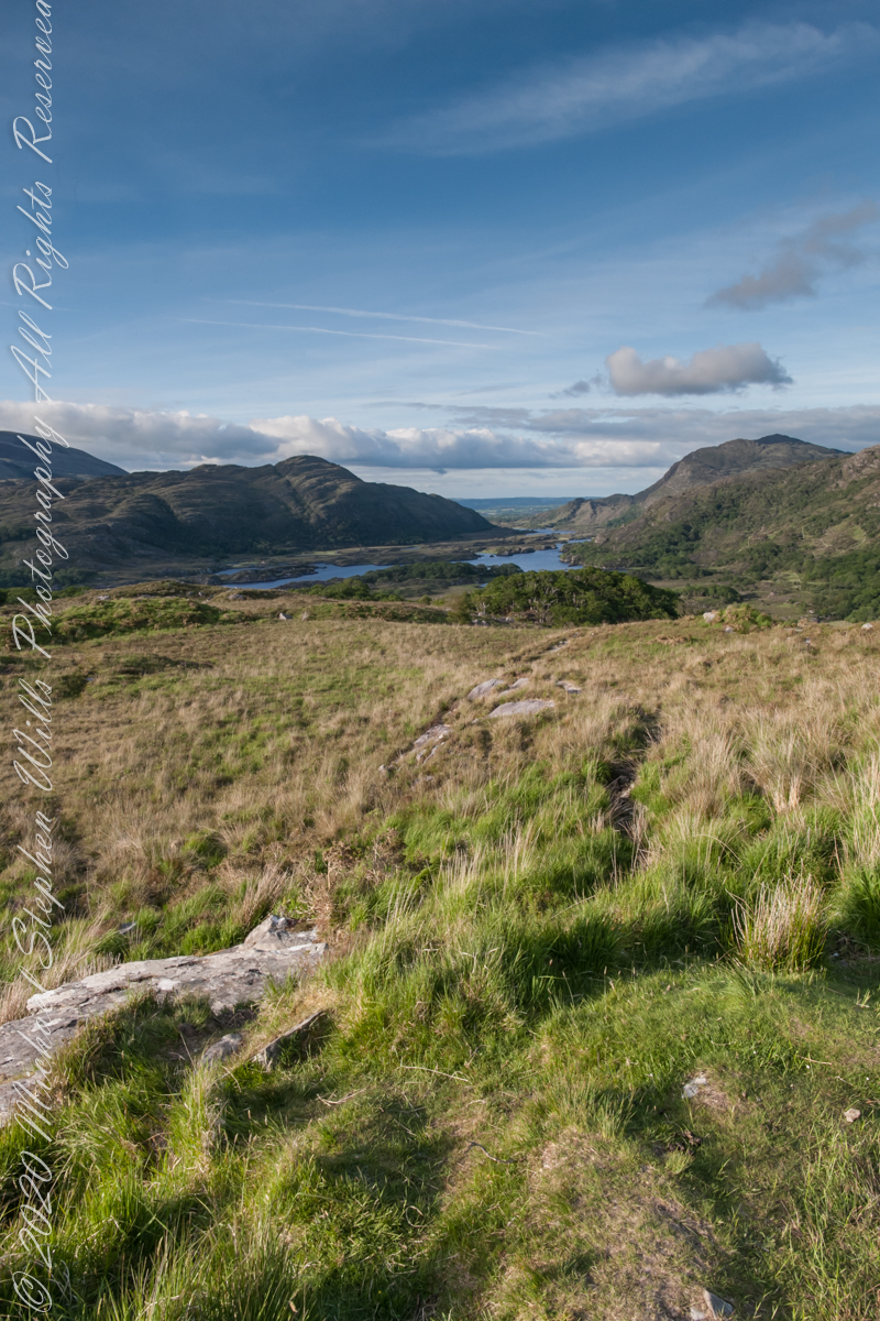
Here we are, on the road from Kenmare to Killarney, N71, part of the Ring of Kerry around the Iveragh Peninsula. The view was celebrated by Queen Victoria’s Ladies-in-Waiting during an 1861 tour of Ireland
Here the camera is turned toward the evening low sun, behind clouds, with subtle light beams. That is Upper Killarney Lake, the Gap of Dunloe behind the far hills.
Click pic for larger view in a new browser tab. If you are in WordPress Reader, open the post to use this feature.
Copyright 2021 Michael Stephen Wills All Rights Reserved
The Searcher arrived after breakfast. My camp was bundled up to join the rest of The Searchers equipment and supplies on Colorado’s panniers that replaced the saddle where I sat, and was dumped from, yesterday. This fifth morning of the adventure, I was to have the experience of a light pack for the 4.7 mile trail from Pine Creek to Campaign Creek, past the Reavis Mountain School of Self Reliance.
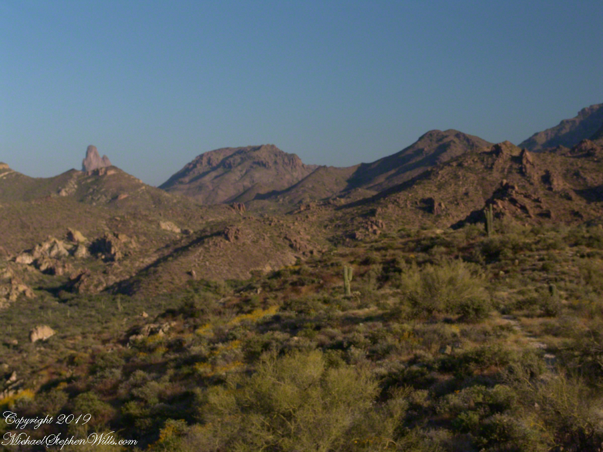
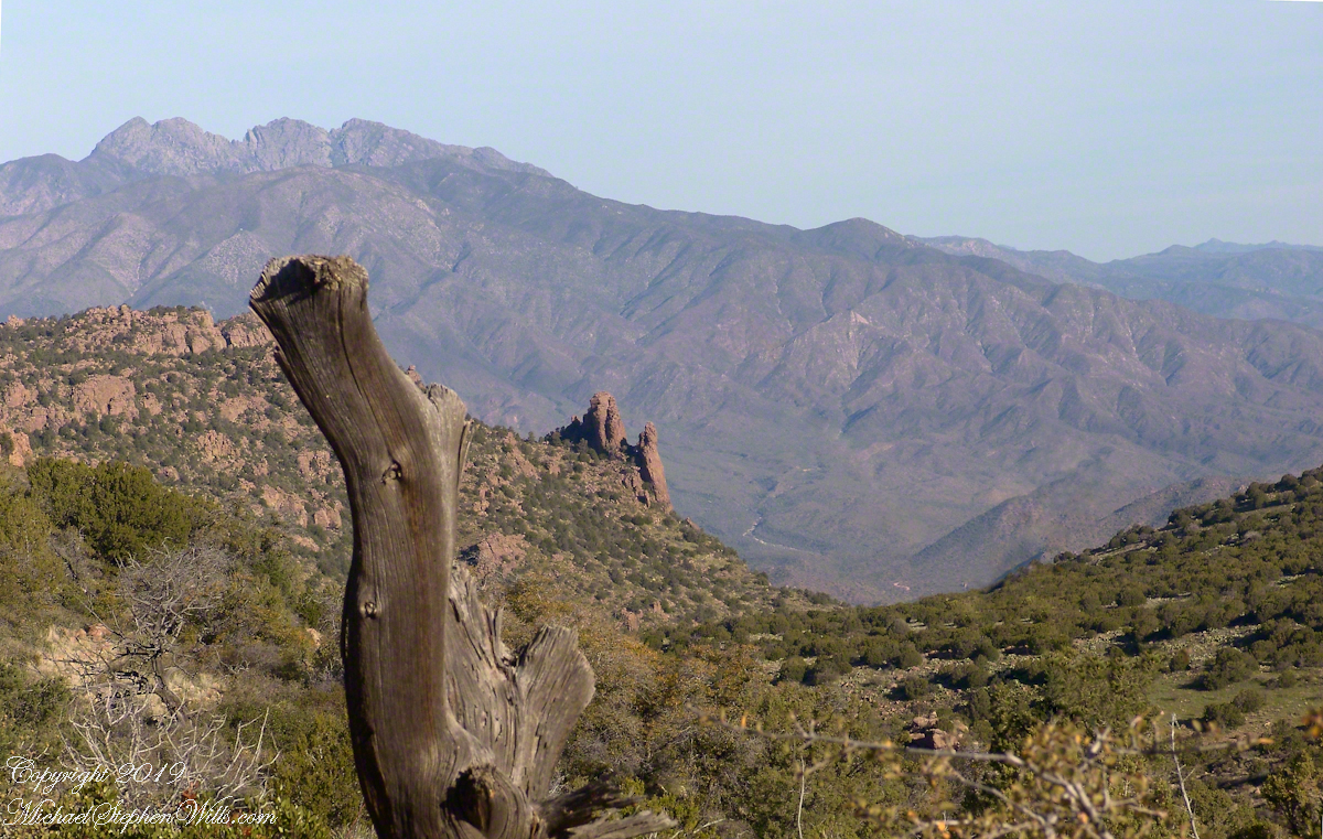
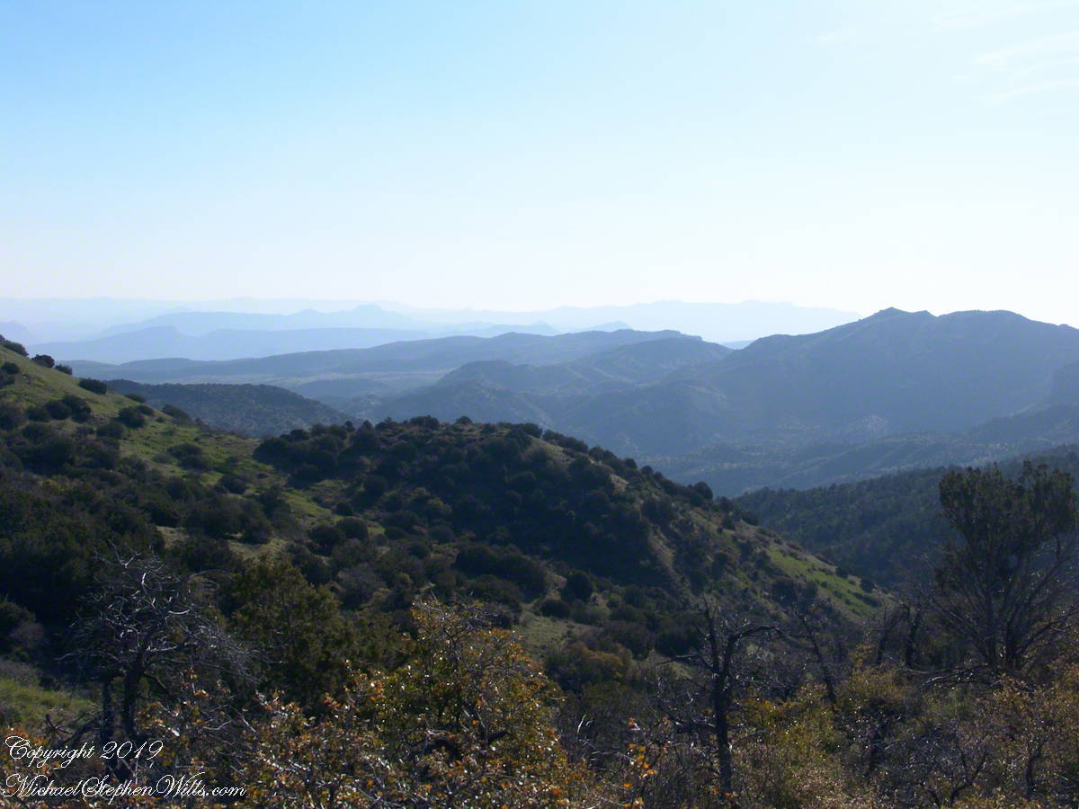
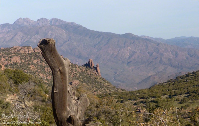
First, there was the climb to the edge of Pine Creek canyon where we, for the last time, enjoyed the view to the north of the Arizona Trail and, in the distance, the Four Peaks Wilderness.
North from Reavis Gap
At Reavis Gap we took a rest before the 1500 descent to Campaign Creek on a trail rated as so difficult backpackers go miles out of the way to access Reavis Ranch.
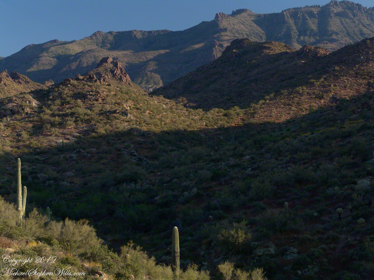
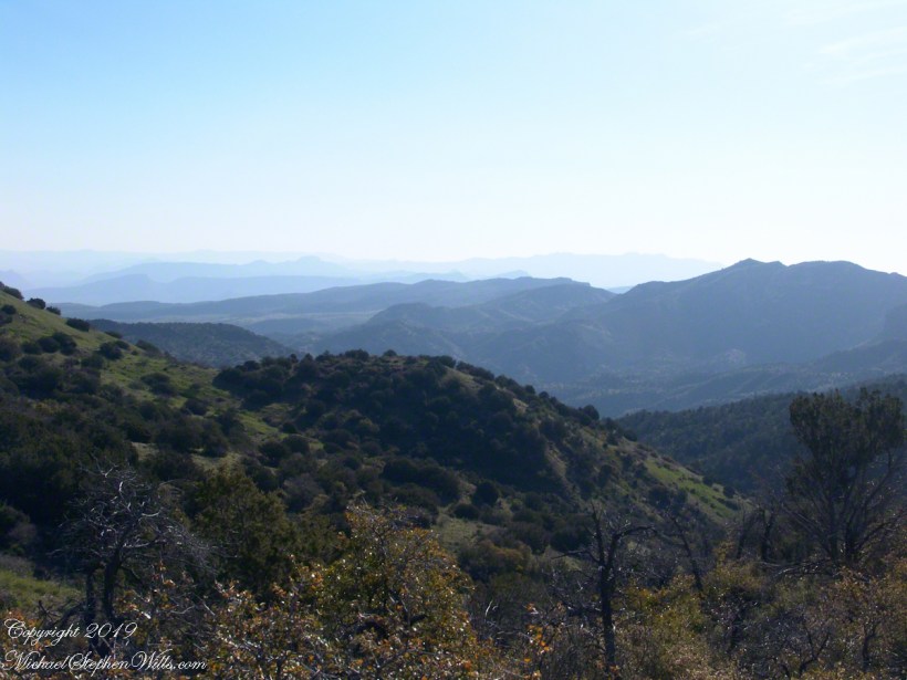
I split an energy bar and took a swig of water before setting up the tripod to capture the following view of our path. The ridge, hazy in the distance of 22 miles, is Apache Peaks, the near descending ridges an improbable green after a wet winter. In the previous photograph, “North from Reavis Gap” you can clearly see the transition from the desert to a grassland biome as the elevation increases.
Generations
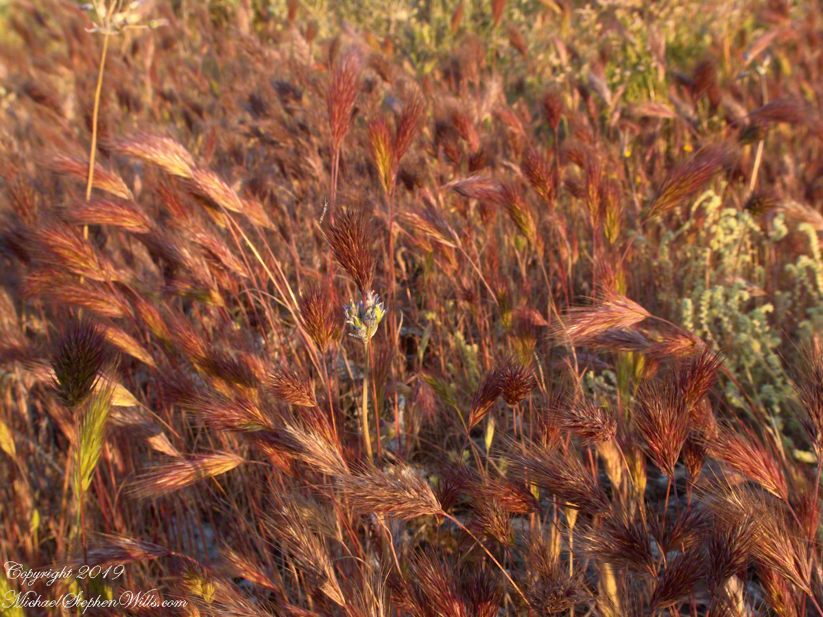
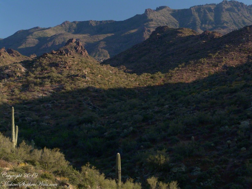
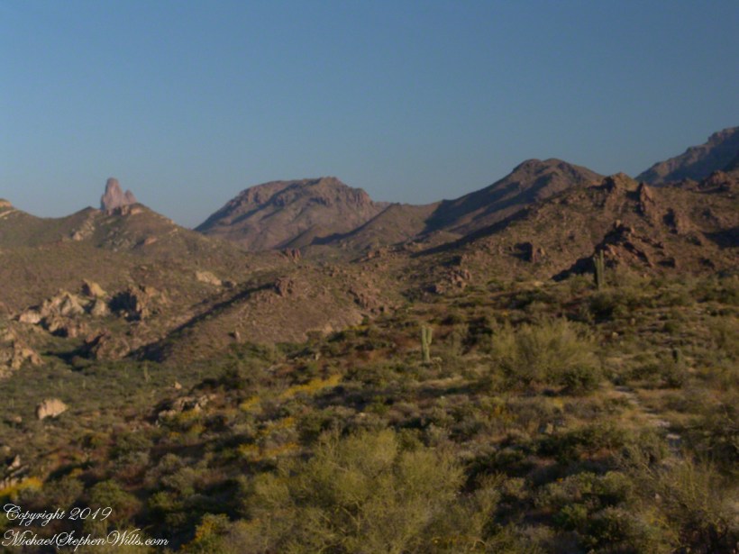
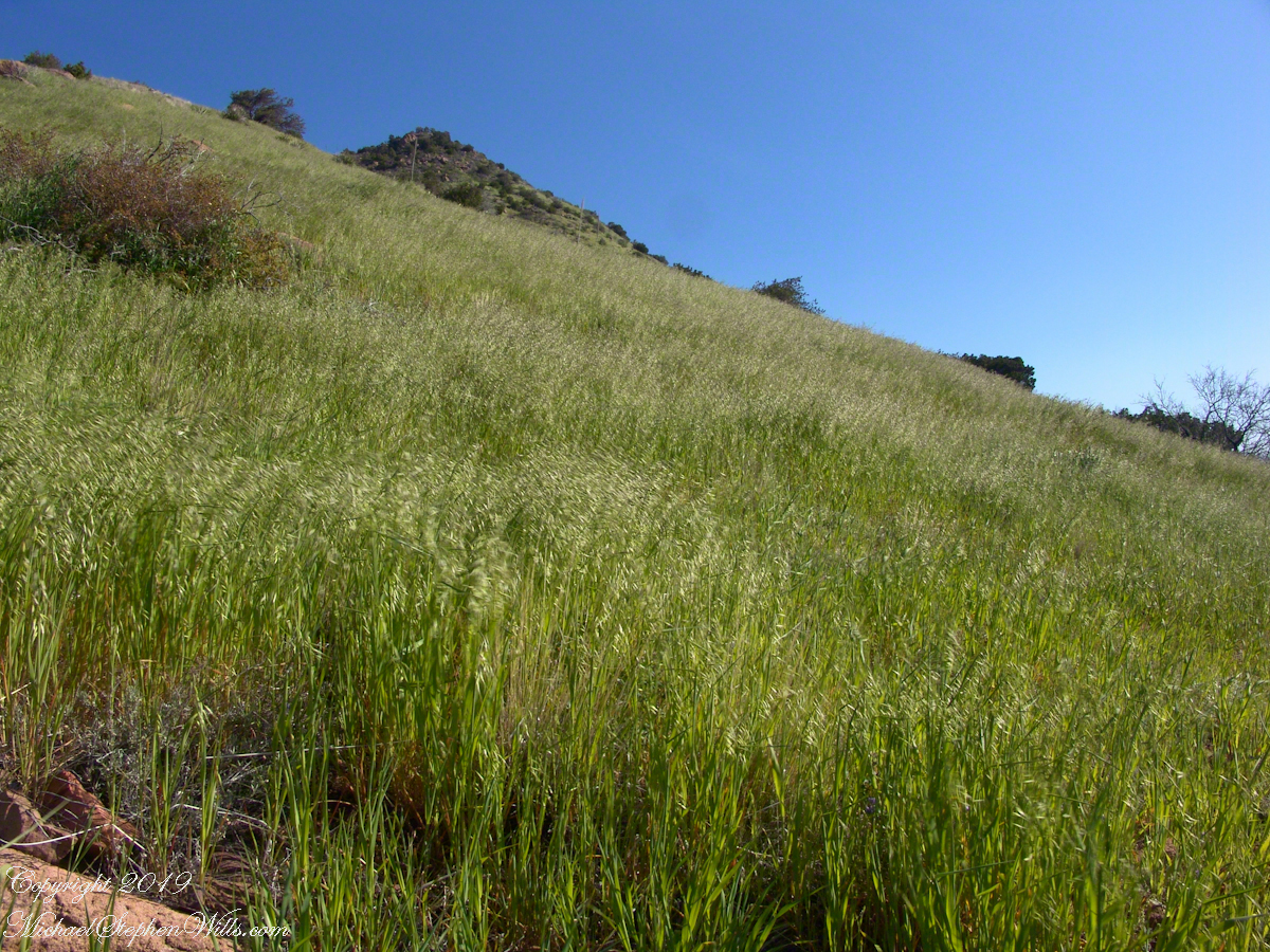
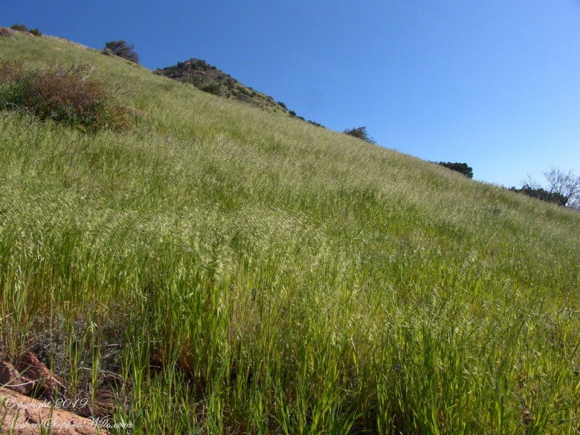
On this, the southern shoulder of Two Bar Mountain, we enjoyed desert grasslands almost the entire length, starting with this unlikely oat field. The higher, eastern Superstitions are the western and northern-most Sky Island of Southern Arizona: rising from the desert as isolated mountain systems, catchments for passing storms, with life zones progressing with altitude, the highest typical of Canada. As with oceanic islands, each is a haven for life with potential for evolution of unique species from the isolating effect of the surrounding desert.
These oats are domesticated grain spilled from a horse or donkey pack to thrive in the decades since, sprouting into this spread of light green after a wet winter, ripening, then turning gold with the summer, the grains falling to wait for the next opportunity. This green hue is my first impression of Reavis Gap, see my post “Two Meetings” for a video of the morning breezes rippling along the hillside.
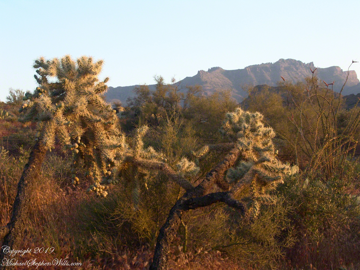
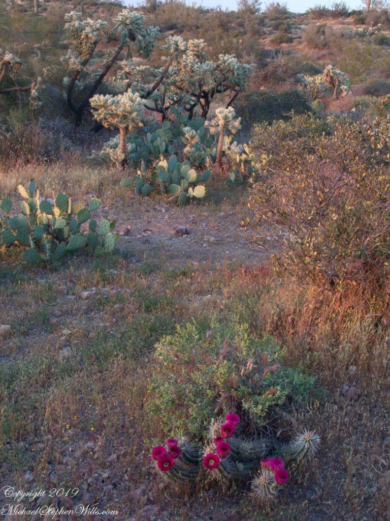
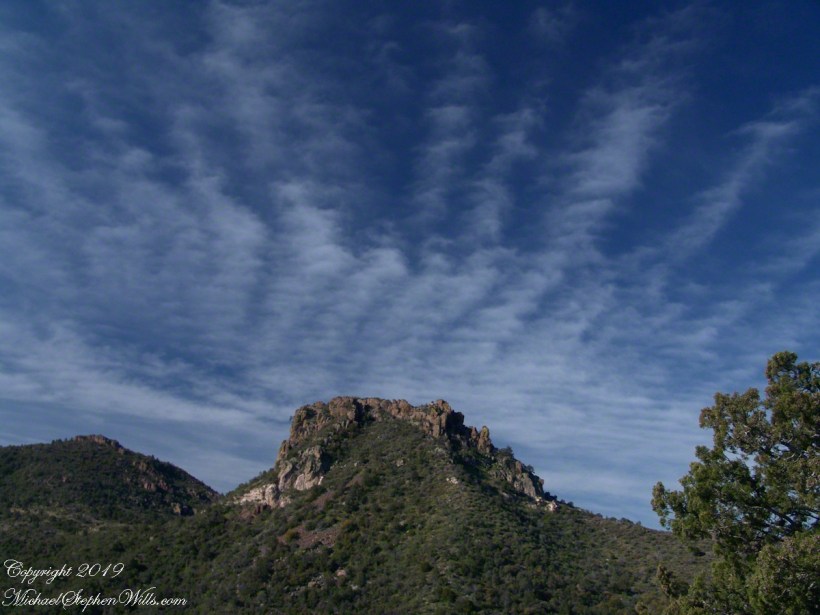
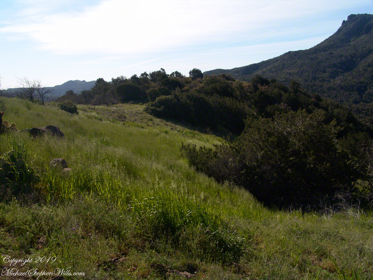
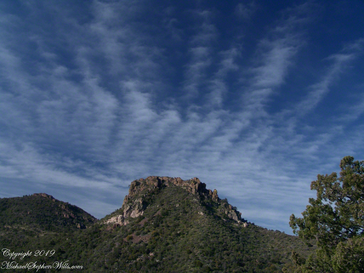
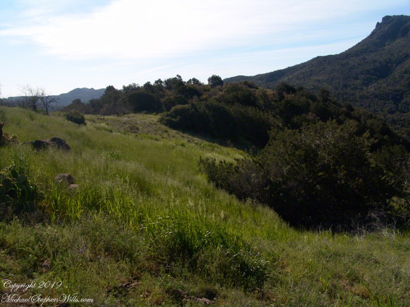
The camera sweeps 180 degrees for all the views from this spot, including prickly pear cactus among the grasses, a butte-like formation to the west, as in the following photograph.
Upper Horrell, the end of the beginning.
We passed the length of the Reavis Mountain School of Self Reliance, the Reavis Gap trail is 100 feet or so higher on the north side. The name “Upper Horrell” is attached to this location. Reavis Gap trail used to start at a ranch house, part of the “Upper Horrell Ranch.” Horrell is the family name of the former owners.
Upper Horrell is a fortunate location for the school, with the perennial Campaign Creek flowing parallel to their 13 acres on which is a large garden, many fruit trees, livestock and poultry. The school provides lodging and classes throughout the year.
The Searcher initiated his time in the Superstitions with wilderness survival classes and they allowed him to park is horse trailer and pickup outside the gates. We were loaded and out of there with a stop at Roosevelt, population 28, where we were the only customers for mesquite grilled hamburgers and french fries. We talked about the potential for future trips and I took him up on an offer to store my stuff until then. In the following years I did more Superstition Wilderness day trips, backpack expeditions, some with my sister Diane, and one horse expedition with The Searcher and a friend.
Here is a gallery of this post’s photographs, for you to flip through.
The Arizona Trail passes this spot in the remote eastern Superstition Wilderness. This is the view of my path up from Nameless Canyon. In the distance is the Four Peaks Wilderness Area.
The view down the canyon followed by the steep Reavis Gap trail from Campaign Creek.
The viaw back toward the Superstition Wilderness from the Reavis Gap trail on the approach to Reavis Gap.
Here we are, on the road from Kenmare to Killarney, N71, part of the Ring of Kerry around the Iveragh Peninsula. The view was celebrated by Queen Victoria’s Ladies-in-Waiting during an 1861 tour of Ireland
We are almost done with this series….sorry to leave this place.
Click pic for larger view in a new browser tab. If you are in WordPress Reader, open the post to use this feature.
Ladies View, Killarney National Park, Derrycunihy Townland, County Kerry, Republic of Ireland.
Copyright 2021 Michael Stephen Wills All Rights Reserved
Here we are, on the road from Kenmare to Killarney, N71, part of the Ring of Kerry around the Iveragh Peninsula. The view was celebrated by Queen Victoria’s Ladies-in-Waiting during an 1861 tour of Ireland
My wife saw the title of this series and asked, “What ‘Ladies’ are these you are so interested in.” “Why YOU, silly, was the response. And here she is!!
Click pic for larger view in a new browser tab. If you are in WordPress Reader, open the post to use this feature.
Ladies View, Killarney National Park, Derrycunihy Townland, County Kerry, Republic of Ireland.
Copyright 2021 Michael Stephen Wills All Rights Reserved
Here we are, on the road from Kenmare to Killarney, N71, part of the Ring of Kerry around the Iveragh Peninsula. The view was celebrated by Queen Victoria’s Ladies-in-Waiting during an 1861 tour of Ireland
Click pic for larger view in a new browser tab. If you are in WordPress Reader, open the post to use this feature.
Ladies View, Killarney National Park, Derrycunihy Townland, County Kerry, Republic of Ireland.
Copyright 2021 Michael Stephen Wills All Rights Reserved
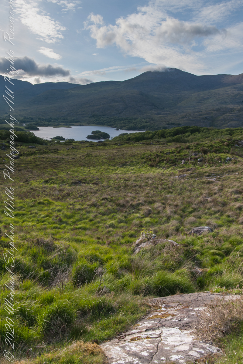
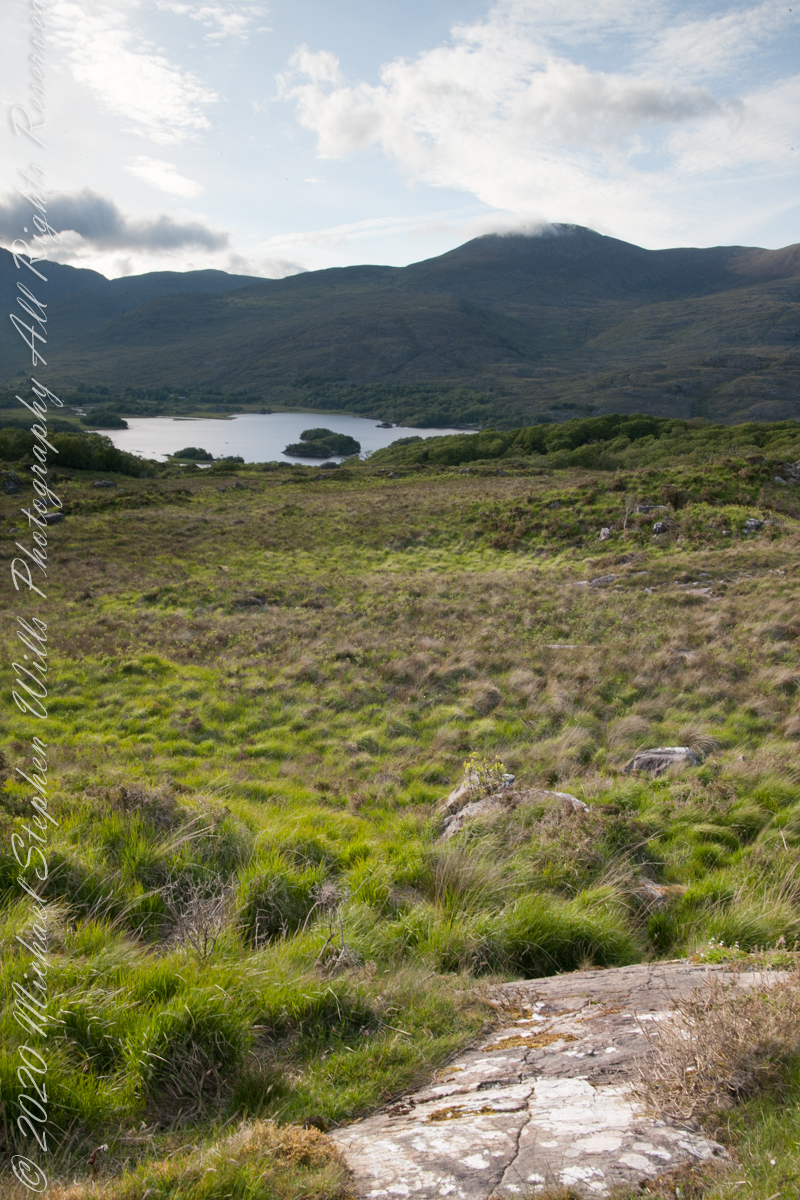
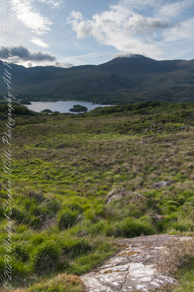
Here we are, on the road from Kenmare to Killarney, N71, part of the Ring of Kerry around the Iveragh Peninsula. The view was celebrated by Queen Victoria’s Ladies-in-Waiting during an 1861 tour of Ireland. Today’s view is different, the others were facing northeast toward Muckross Lake. Here the view faces north, with Upper Lake of Killarney in view. Owengarriff River connects the lakes.
Here is present three versions of the same file with various handling of atmospherics.
Click pic for larger view in a new browser tab. If you are in WordPress Reader, open the post to use this feature.
Version 1
version 1
Version 2Version 2
Version 3Version 3
Version 1Version 2Version 3Side by Side Comparison
Copyright 2021 Michael Stephen Wills All Rights Reserved
Here we are, on the road from Kenmare to Killarney, N71, part of the Ring of Kerry around the Iveragh Peninsula. The view was celebrated by Queen Victoria’s Ladies-in-Waiting during an 1861 tour of Ireland
Click pic for larger view in a new browser tab. If you are in WordPress Reader, open the post to use this feature.
Ladies View, Killarney National Park, Derrycunihy Townland, County Kerry, Republic of Ireland.
Copyright 2021 Michael Stephen Wills All Rights Reserved
Here we are, on the road from Kenmare to Killarney, N71, part of the Ring of Kerry around the Iveragh Peninsula. The view was celebrated by Queen Victoria’s Ladies-in-Waiting during an 1861 tour of Ireland. Here we see Muckross Lake and the Owengarriff River connecting the lakes.
Click pic for larger view in a new browser tab. If you are in WordPress Reader, open the post to use this feature.
Ladies View, Killarney National Park, Derrycunihy Townland, County Kerry, Republic of Ireland.
Copyright 2021 Michael Stephen Wills All Rights Reserved
Here we are, on the road from Kenmare to Killarney, N71, part of the Ring of Kerry around the Iveragh Peninsula. The view was celebrated by Queen Victoria’s Ladies-in-Waiting during an 1861 tour of Ireland
Click pic for larger view in a new browser tab. If you are in WordPress Reader, open the post to use this feature.
Ladies View, Killarney National Park, Derrycunihy Townland, County Kerry, Republic of Ireland.
Copyright 2021 Michael Stephen Wills All Rights Reserved
Canyon de Chelly, on the map, is shaped like a Y or a chromosome. A chromosome as the walls of the canyon carry the heritage of the people who made this place their home over millennia. A Y as in the letter ship, a foot and two arms.
6.2 miles from the canyon mouth, where the road ends at Chinle, above the branch, on the north cliff, is this photogenic ruin, called the Ledge Ruin. In my previous posting, this ruin forms the backdrop of Peter Tsosie’s portrait. Peter is the header image of this posting.
Difficult to believe, seeing it for the first time.
Difficult to see, a tiny nook in an enormous cliff, the structures formed from the same rock as though what remained after the cliff fell away.
Difficult to comprehend life there, what drove them to this effort? Fear, certainly, concern for their safety and security.
We know it by our name. Their name included the word “home.”