As of April 5th 1181 is the count of subscribers to this blog, an interesting number. The individual numerals sum to a prime number, 11. I appreciate each and every “1” added together, you readers. Thank You.
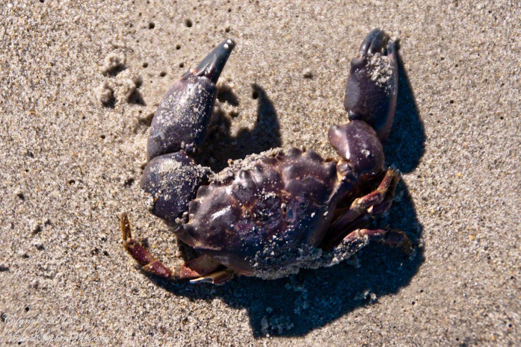
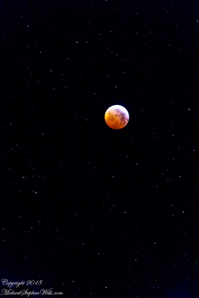
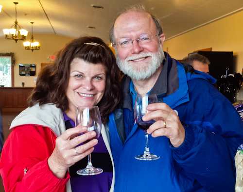
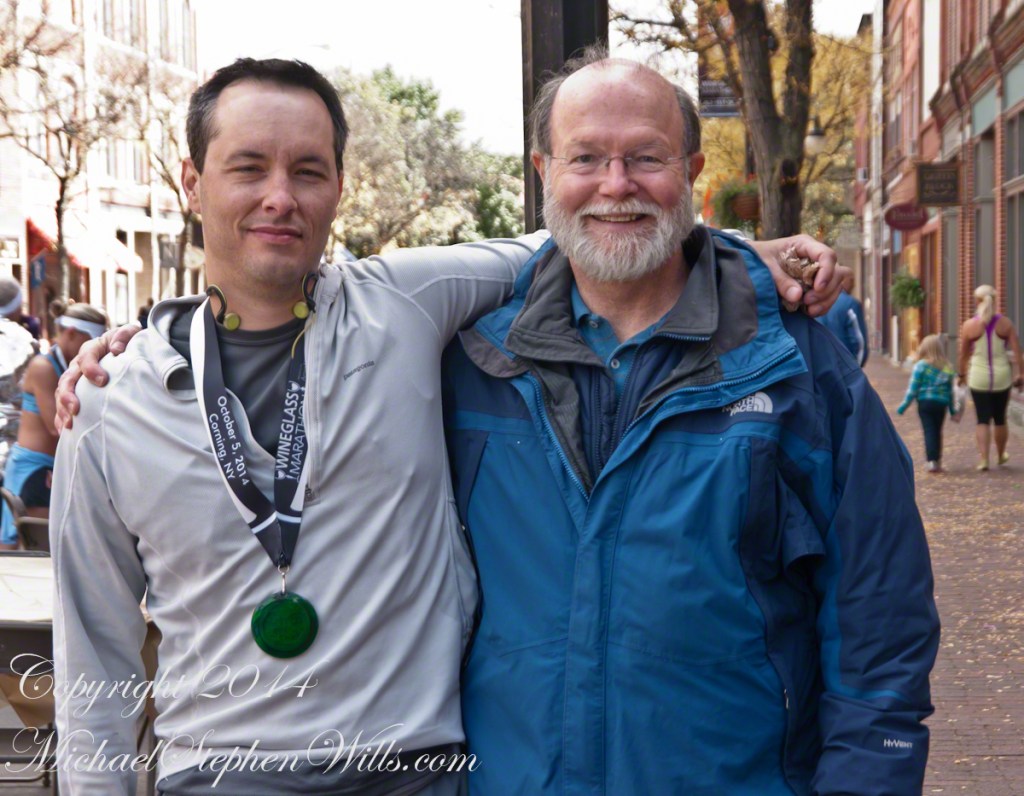
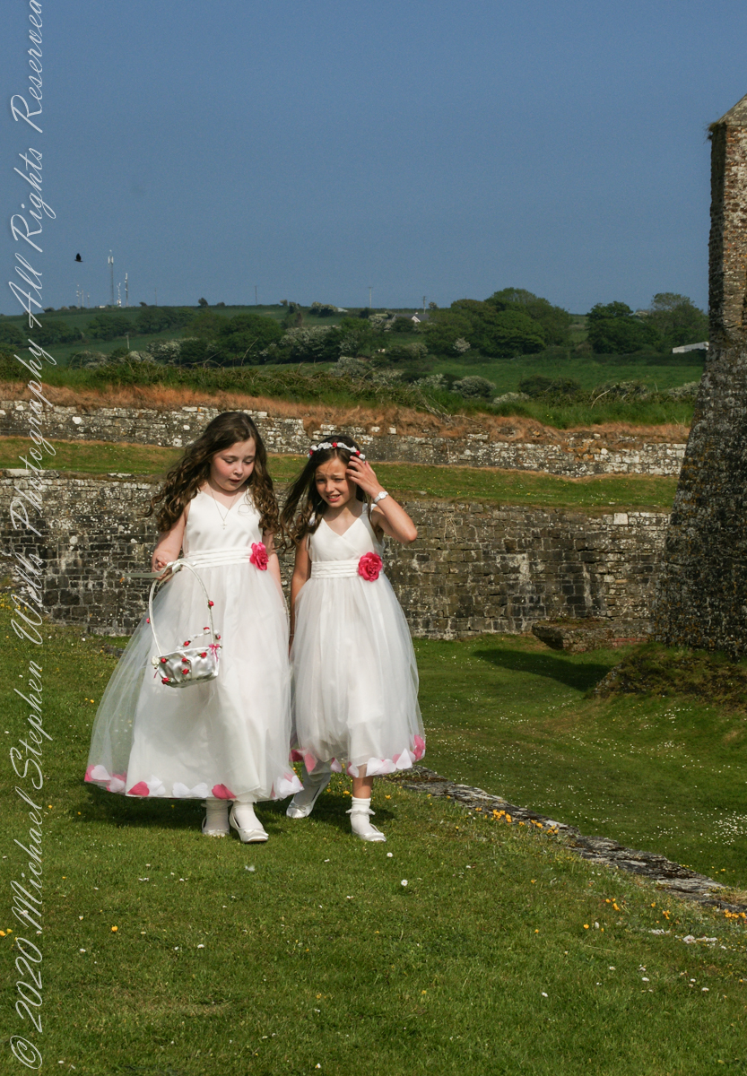
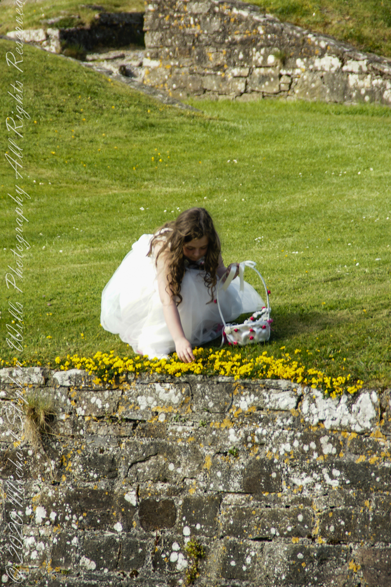
Coincidentally, yesterday 1,200 of my blogs are published….Here is a selection of images from these posts.
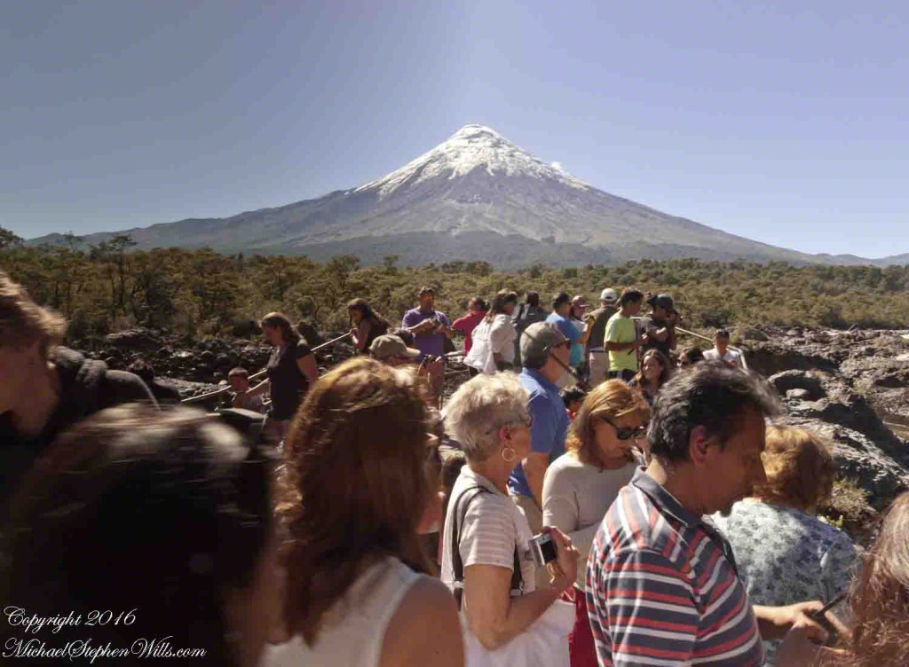
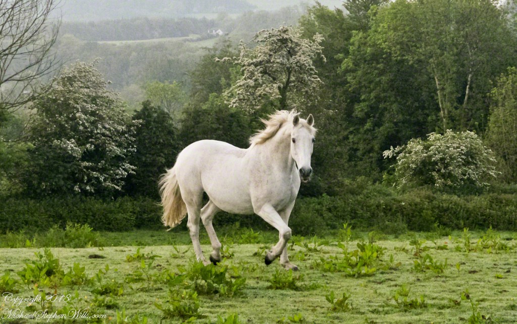
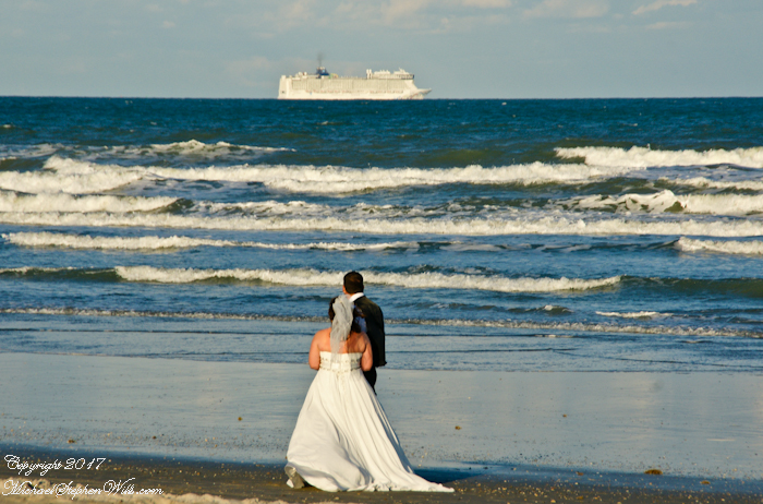
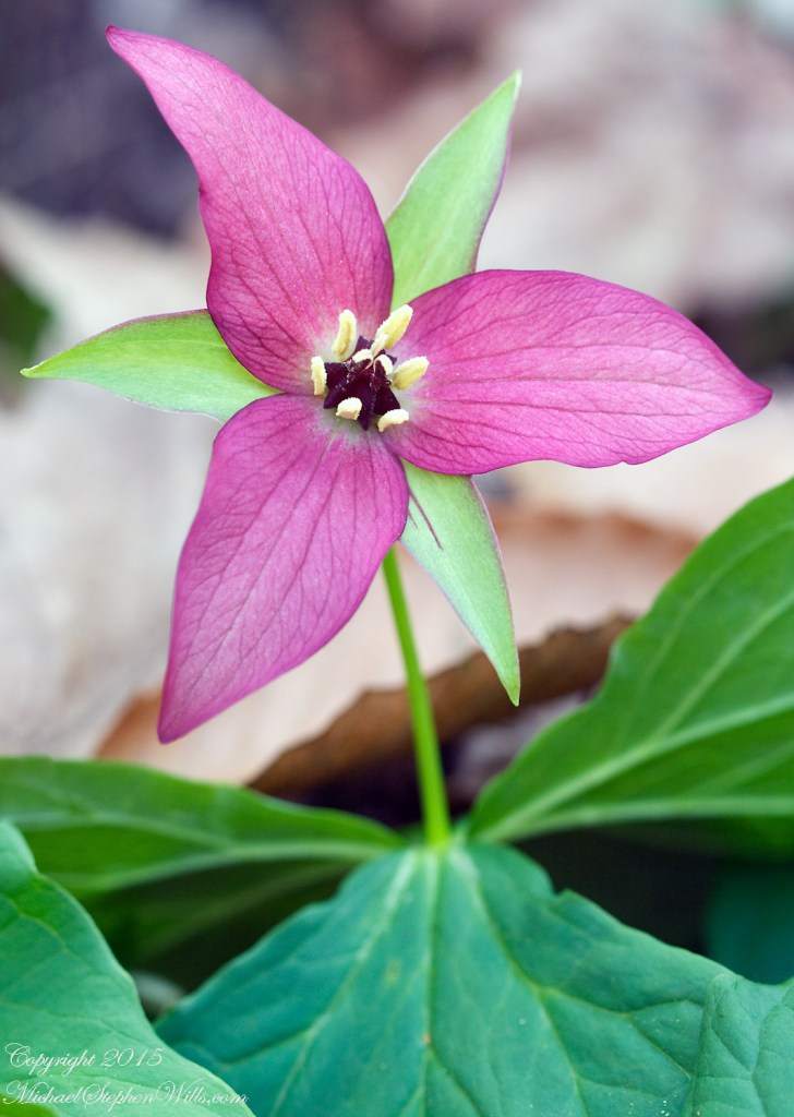
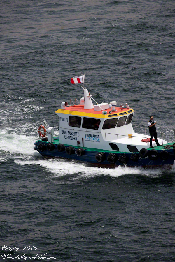
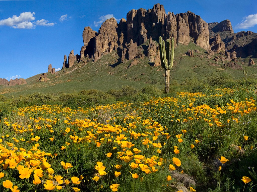
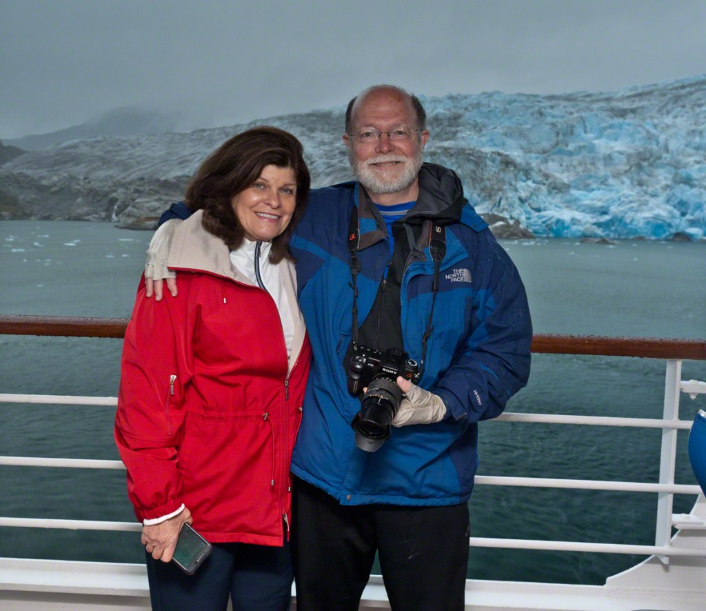
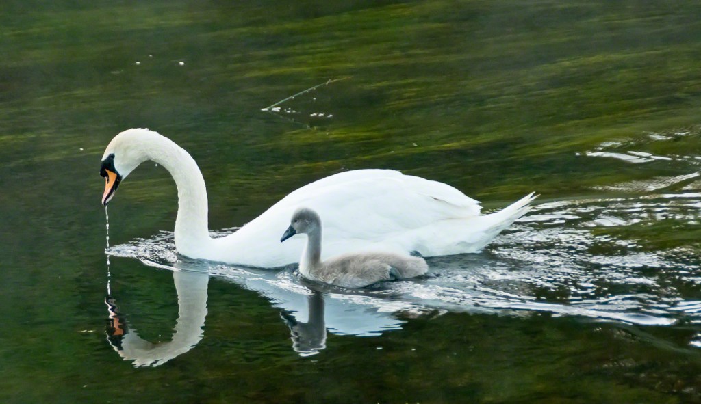
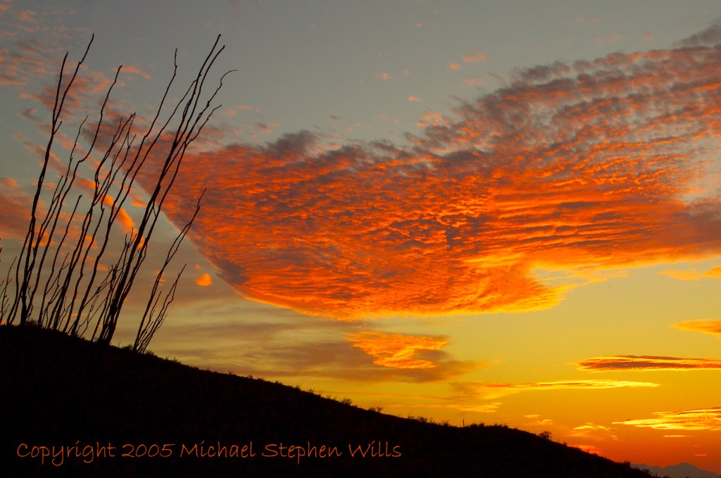
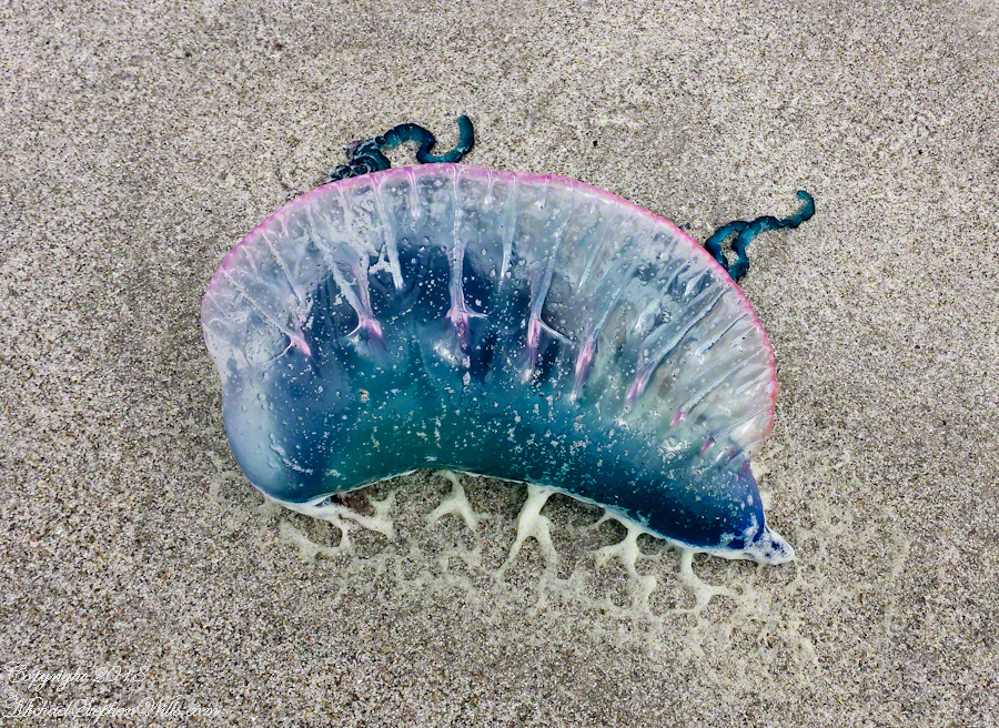
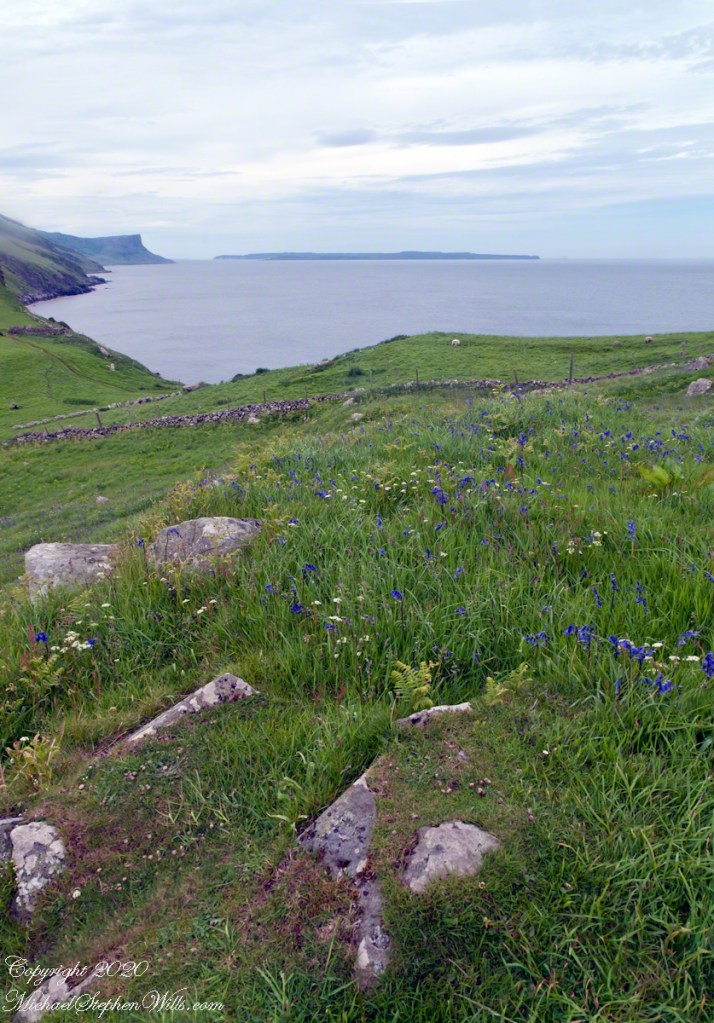
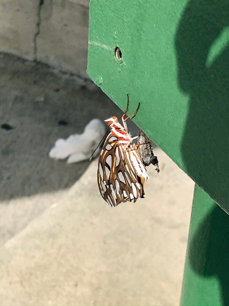
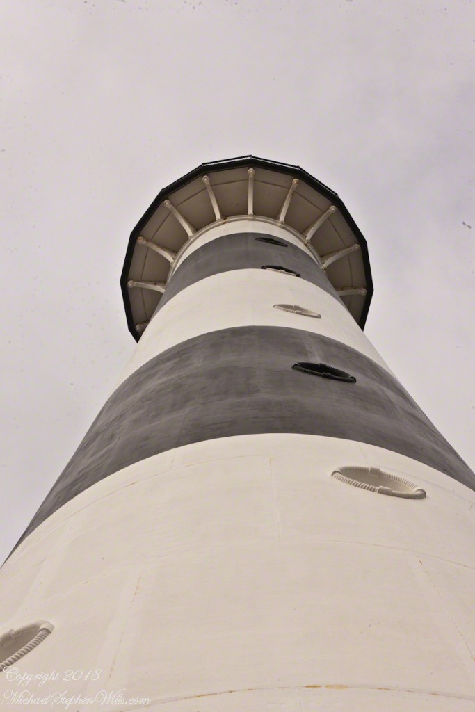
The trail at Petrohue Falls is packed with tourists on a sunny summer afternoon.Pam and Mike Wills stayed with Marantha House B&B, during our Spring 2014 Ireland Tour. It was our base in County Cork. Our day of arrival, that evening, I visited Charlemagne and fed him an apple, saved from dinner. We learned from our hosts, Olwen and Douglas Venn, he is a retired show horse they rescued. The following morning I visited Charlemagne again with an apple and my camera. As I walked up, starting from the far end of his field, Charlemagne rewarded me with a series of astounding poses, trotting toward me in fine form. The morning mists, hawthorn in bloom, distant hills came together for this memory.Newlyweds on Cocoa Beach waiting for the photographer in a perfect early evening light. A cruise ship departing from Port Canaveral in the distance.Trillium bloom April through May in central New York State. I found these blooming on the rim of Fillmore Glen near Owasco Lake and the town of Moravia.Don Roberto is on the bowMexican Poppies bloomed in profusion throughout the Superstitions after the plentiful winter rains of 2008.Pamela and Michael Wills with Iceberg Glacier, Bernardo O’Higgins National Park, Fjord Tempanos, Chile aboard the Oceania RegattaA swan and cygnet feeding from the pristine waters of the River Cong, County Mayo, Ireland. Outside the door of Ashford Castle.Ocotillo SunsetThe crest of the Portugest Man of War is very visible in the water, the sac can be inflated/deflated to catch the wind or even sink the organism to escape surface feeders.Another solution to the crooked horizon is to level, crop, and build out the lost portions, as I did here. Very time consuming….better to keep the horizon level in the camera, difficult for me to remember.Taken from the entrance.Hydrangea Ensenada ClubAleman Chile February 15, 2016
Pam and I were lucky enough to plan our tour of Ireland for May and June when the Hawthorne trees are in bloom. Named sceach gheal in Gaelic, the white clusters of blossoms symbolize hope. Hawthorns are plentiful throughout the island. The Irish revere the tree and associate each Hawthorn with the Little People. There are roads in Ireland that curve around a Hawthorn tree because the local people convinced the engineers to do so, to save the tree.
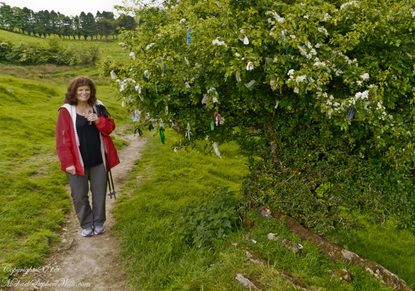
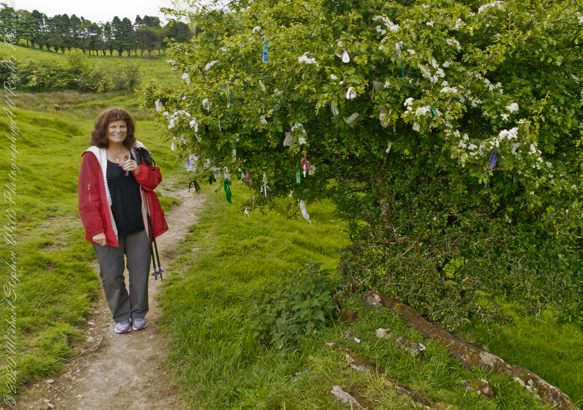
This specimen, covered with offerings (to the Little People?), is on the trail to Loughcrew. Even with her knee trouble, Pam made it to the top of the Hag’s Mountain to visit Cairn T of the Loughcrew Passage tombs.
The steep path to Loughcrew passes a hawthorn covered with flowers and may offerings.
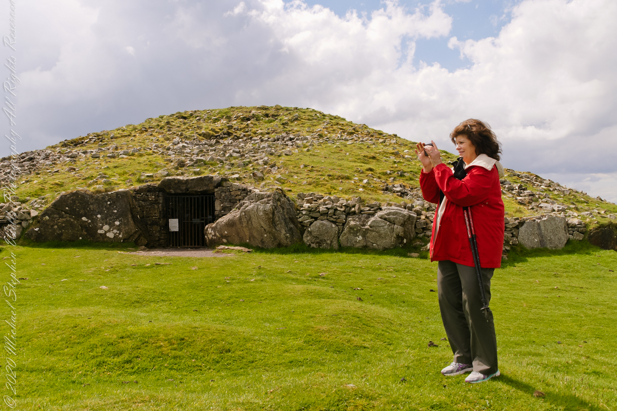
Pam loves to capture images and returned from Ireland with a large collection. Most of the photos of me at work are by Pam. Here Pam is capturing the summit view of Hag’s Mountain with the Cairn T entrance gate in the background. Lucky for us, a fellow visitor made the trip to Loughcrew Gardens and picked up the gate key from the café. In a later post I will share my work from inside this passage tomb.
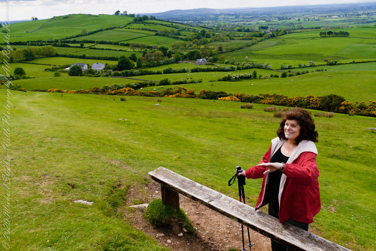
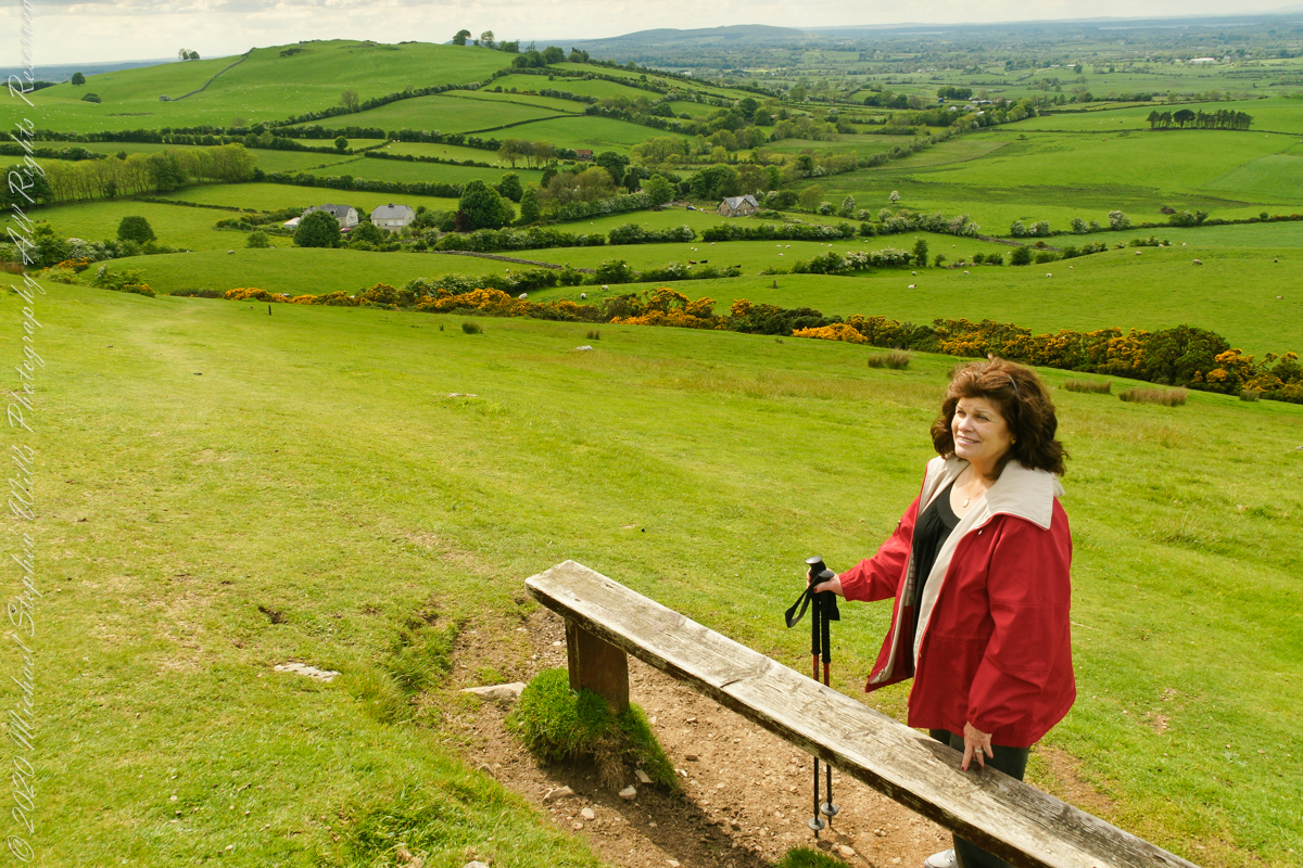
Pam makes friends wherever we go. She started down the mountain before me to take it easy on her knees. When I caught up, Pam and a young Irish family were deep in conversation. I took the opportunity to capture Pam with that gorgeous view to the northwest, Irish countryside with Lake of the Branches in the far distance.
Copyright 2023 Michael Stephen Wills All Rights Reserved
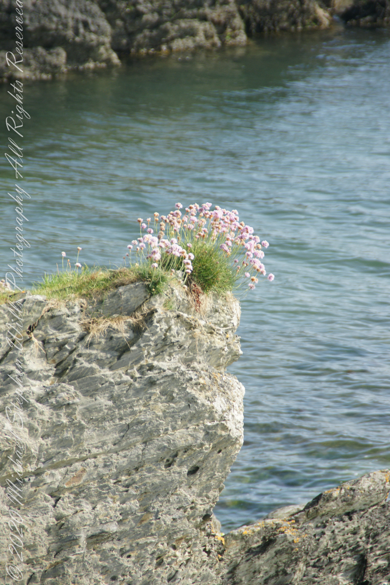
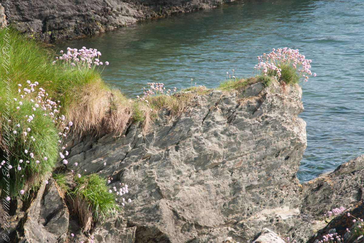
We continued down the half mile “Sallyport” footpath, marked in red on the Google Earth view provided at the end of this post, along shoreline cliffs to find these croppings of Sea Pink on jagged rocks.
Oddly, the jags being perfect places for Sea Pink to perch. Scientific name, Armeria maritima, and also known by Thrift or Sea Thrift, a reason these evergreen perennials are found on the obverse of the British Three Pence coin issued 1937 – 1952. Thrifty can mean to buy a lot for a little money — three pence is very little money.
Click any pic for a larger view, in a new tab, or a slide show. When using WordPress Reader, you need to open the post first.
Another sign informing hikers of the view.
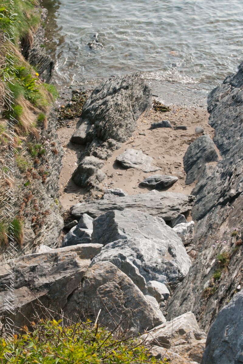
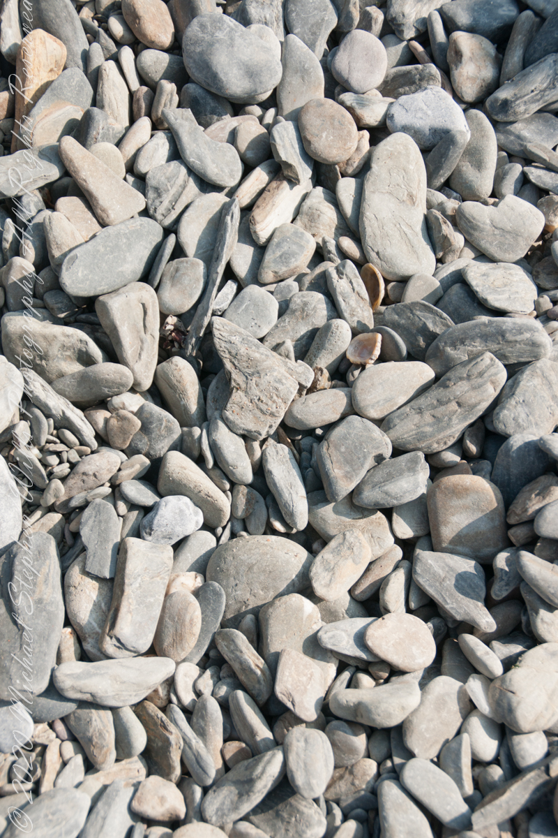
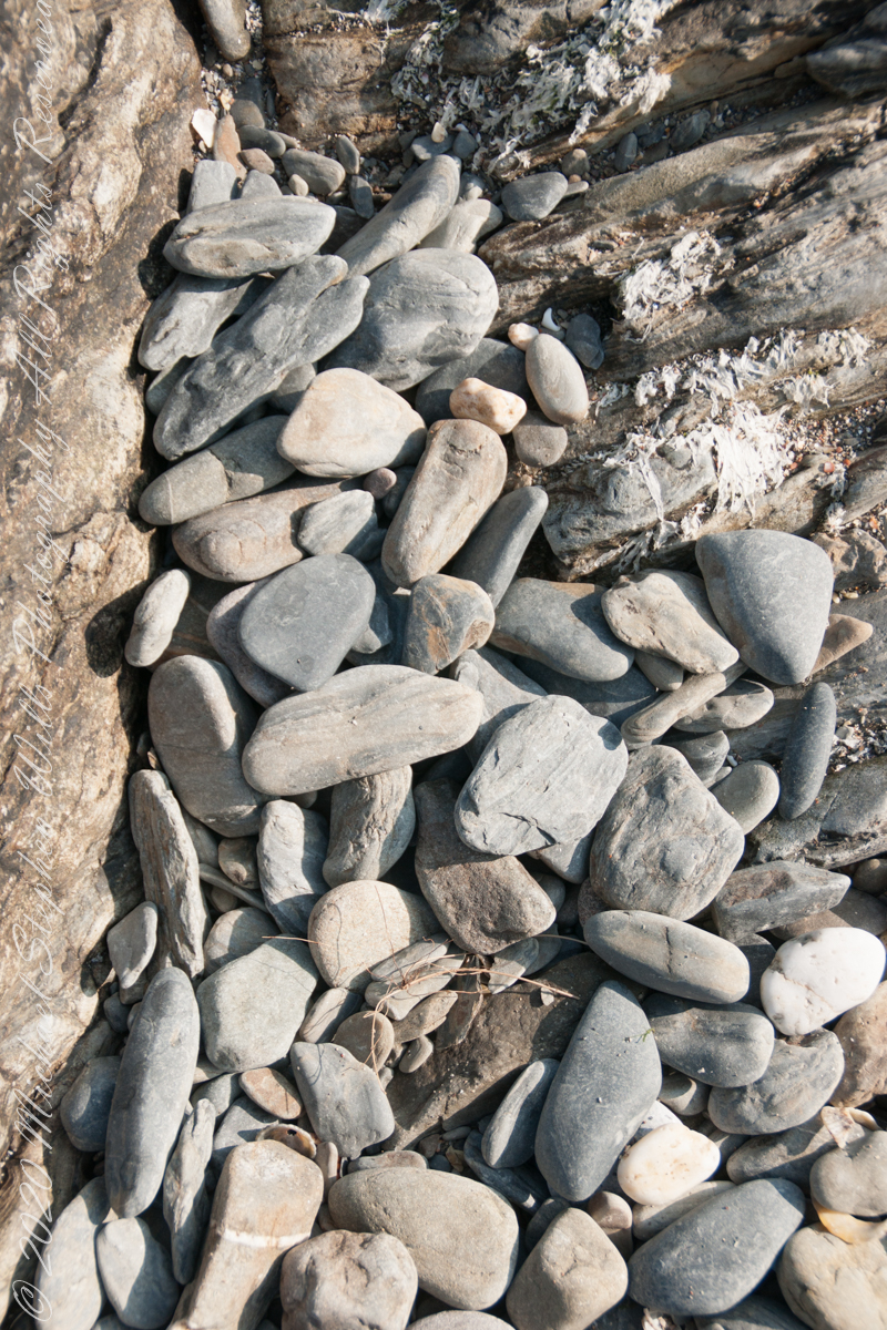
DeclivitySea SmoothedSmoothed over time by wave actionA half mile footpath, marked in red, leads from Charles fort along the shoreline cliffs, surmounted by working farmland.
Reference
“Armeria maritima” – wikipedia
Copyright 2023 Michael Stephen Wills All Rights Reserved
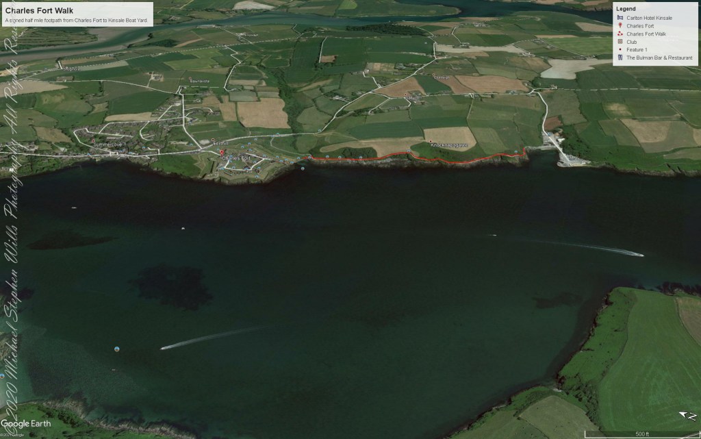
A half mile footpath, marked in red on the following Google Earth view, leads from the Charles fort sallyport, along the shoreline cliffs, surmounted by working farmland and looks toward the Celtic Sea.
To “sally” is to suddenly charge out from a besieged place against the enemy. The word is also used as a noun. It can also be used to describe our walk, as a sally to an unusual place.
The town above the walk is named Sallyport
Here is a view of the Celtic Sea from the Sallyport
From Wikipedia: “The Celtic Sea receives its name from the Celtic heritage of the bounding lands to the north and east. The name was first proposed by E. W. L. Holt at a 1921 meeting in Dublin of fisheries experts from Great Britain, France, and Ireland. The northern portion of this sea was considered as part of Saint George’s Channel and the southern portion as an undifferentiated part of the “Southwest Approaches” to Great Britain. The desire for a common name came to be felt because of the common marine biology, geology and hydrology of the area. It was adopted in France before being common in the English-speaking countries; in 1957 Édouard Le Danois wrote, “the name Celtic Sea is hardly known even to oceanographers.”[3] It was adopted by marine biologists and oceanographers, and later by petroleum exploration firms. It is named in a 1963 British atlas.. A 1972 article states ‘what British maps call the Western Approaches, and what the oil industry calls the Celtic Sea […] certainly the residents on the western coast [of Great Britain] don’t refer to it as such.'”
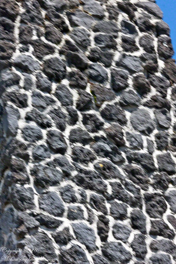
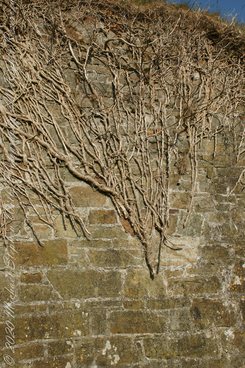
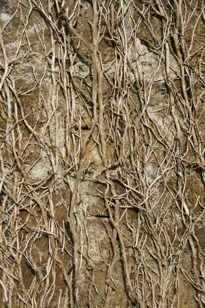
Views of the wall from previous photograph. The vines were separated from roots to preserve the walls, leaving interesting patterns.
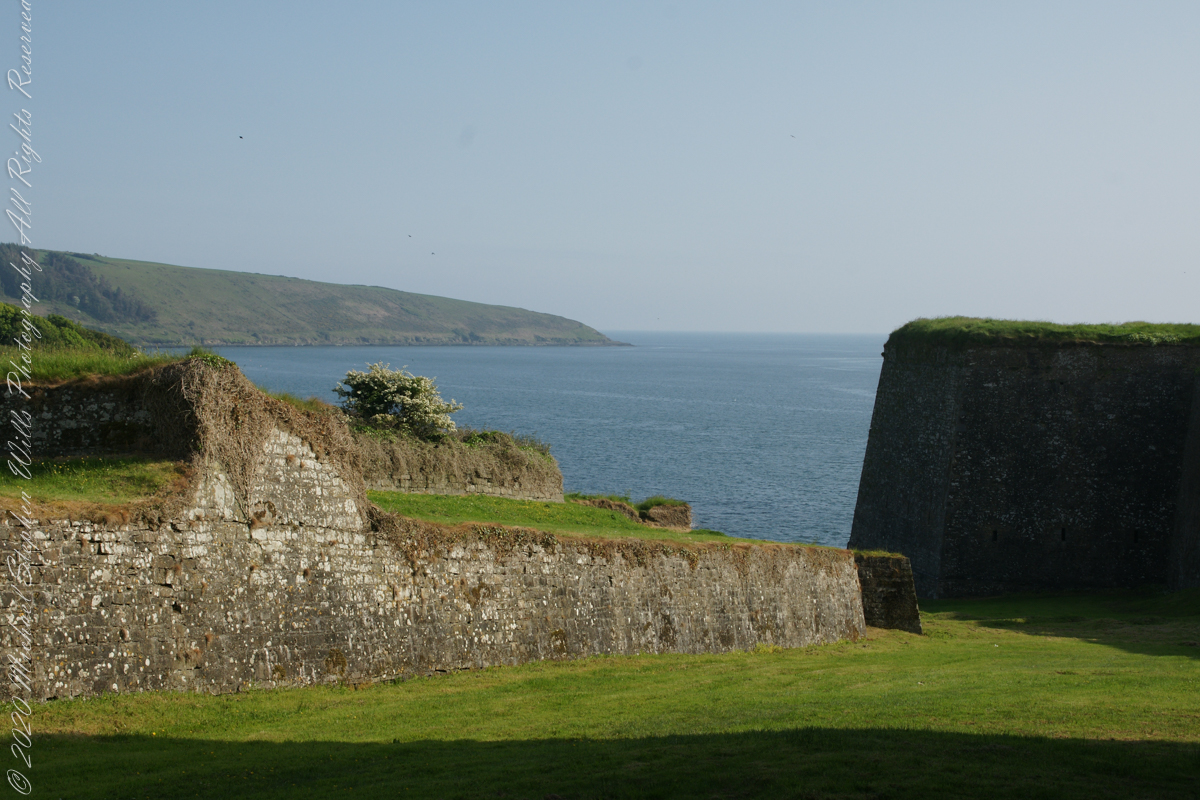
The distant land to the right, beyond the walls, is the Old Head of Kinsale.
Informational placards along the walk give background to the views enjoyed by hikers.
Here is the above view.
SONY DSC
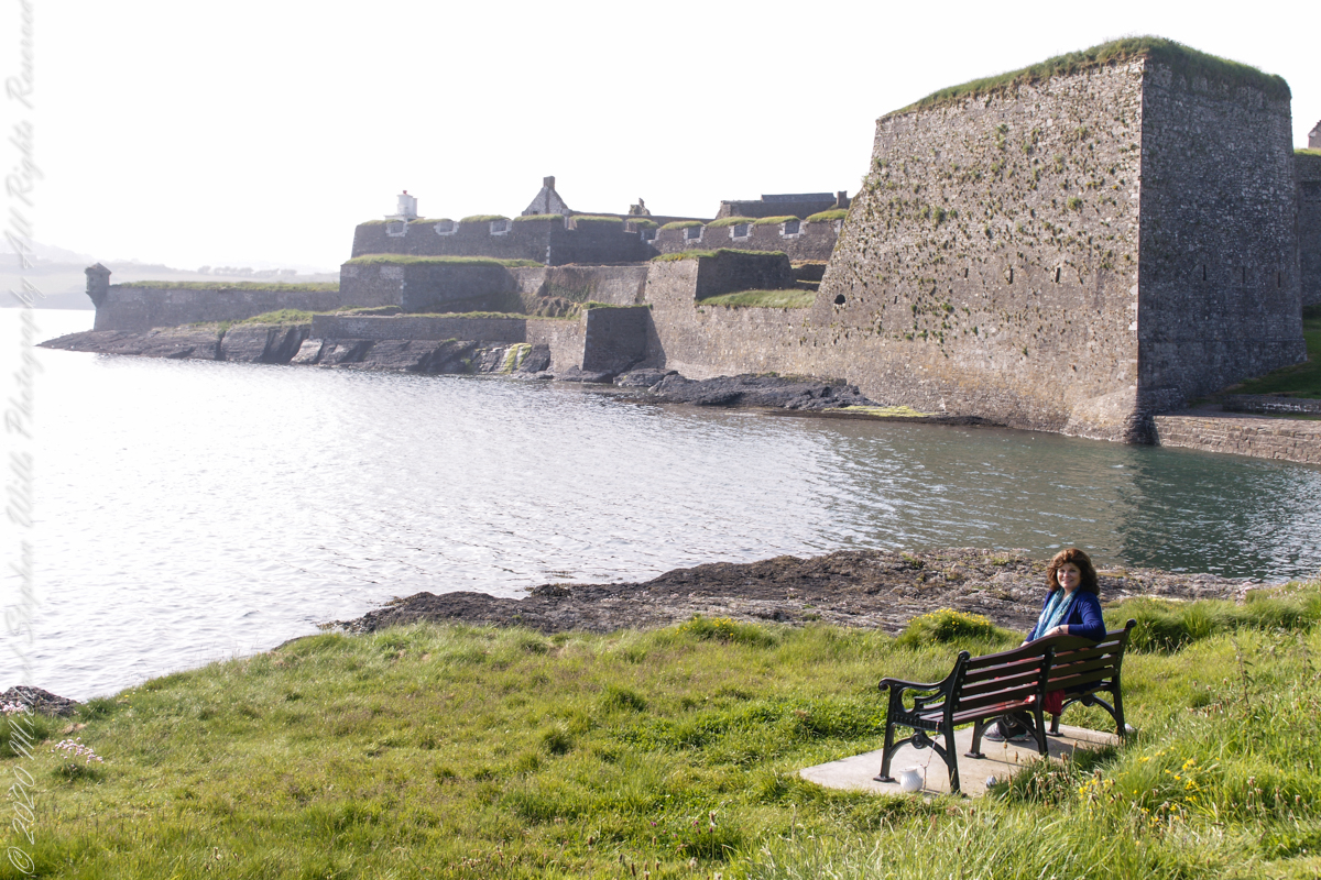
Pam, at start of our walk. Poking above the walls is the Charles Fort Lighthouse. “This lighthouse is a directional light marking the way to safe anchorage close to Kinsale. In 1665 King Charles II granted letters patent to Sir Robert Reading to erect six lighthouses on the coast of Ireland, including one at Barry Oge’s castle, near Kinsale later to become Charles Fort. The original structure would have had a coal fire on its roof. In 1810 powers given to the Commissioners for Barracks and others between 1767 and 1806 were all vested in the Corporation for Preserving and Improving the Port of Dublin or the Ballast Board. This board took over the general lighting and marking of the coast when fourteen lighthouses were transferred to it including that at Charles Fort. This lighthouse, built in 1929, is one of the more recent to be found along the coast, with most dating to the nineteenth century. A new mains powered light at Charles Fort Lighthouse was put into operation on the 14 April 2004 marking the end of a long era of gas and oil powered lights in Ireland.” Quote is from the link provided in references.
May 30, 2014 outside of Charles Fort, Kinsale, County Cork, Republic of Ireland
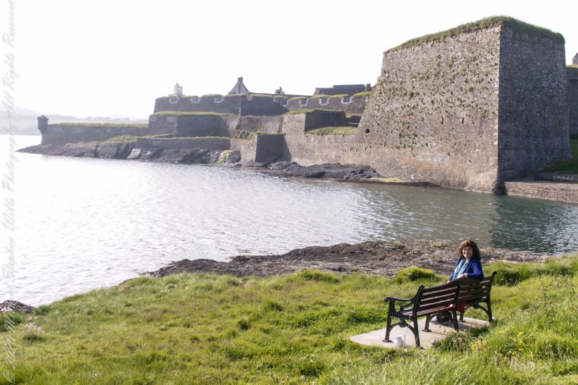
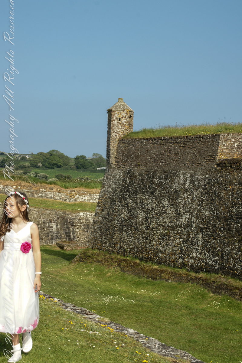
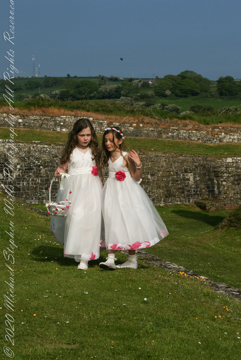
Arriving at Charles Fort, the “new” fort compared to the “old” James Fort across the cove, late in the day after our walking tour of Kinsale and lunch, the gate to the interior was closed. Pam and I made do with exploring the outer battlements where the citizens of Kinsale were enjoying themselves.
A shortcoming of Charles Fort was the high ground you can see behind the figures. The defenses are strong on the seaward side and open to attack from the land.
A previous post, “Christmas Tableau”, provides some context. The photographs from that set were accepted by Getty for stock images. Click the link to take a look: “Cozy Snowmen” on Getty Stock.
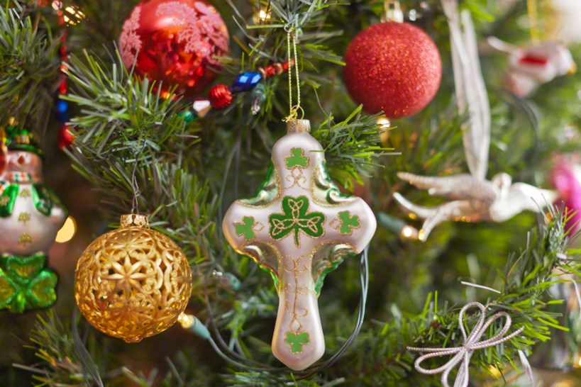
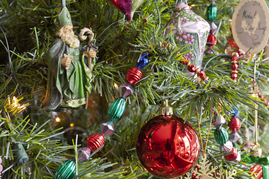
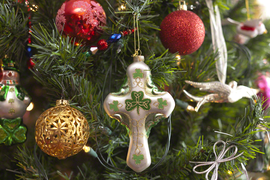
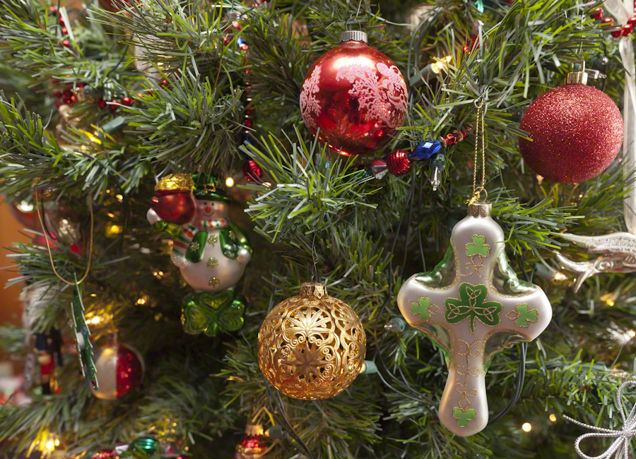
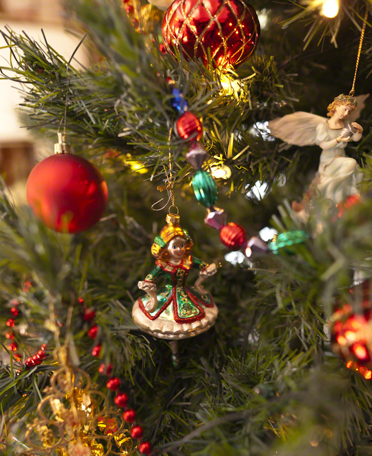
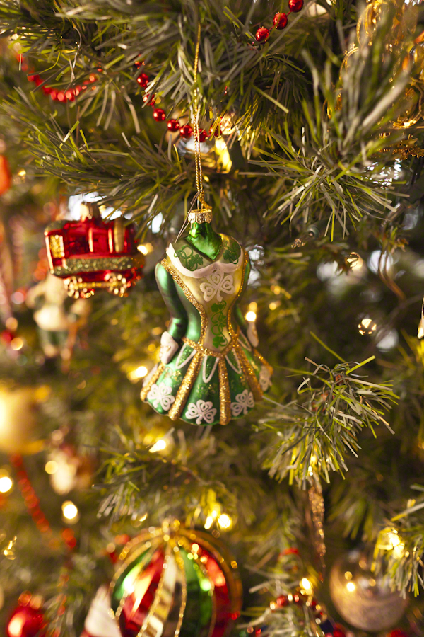
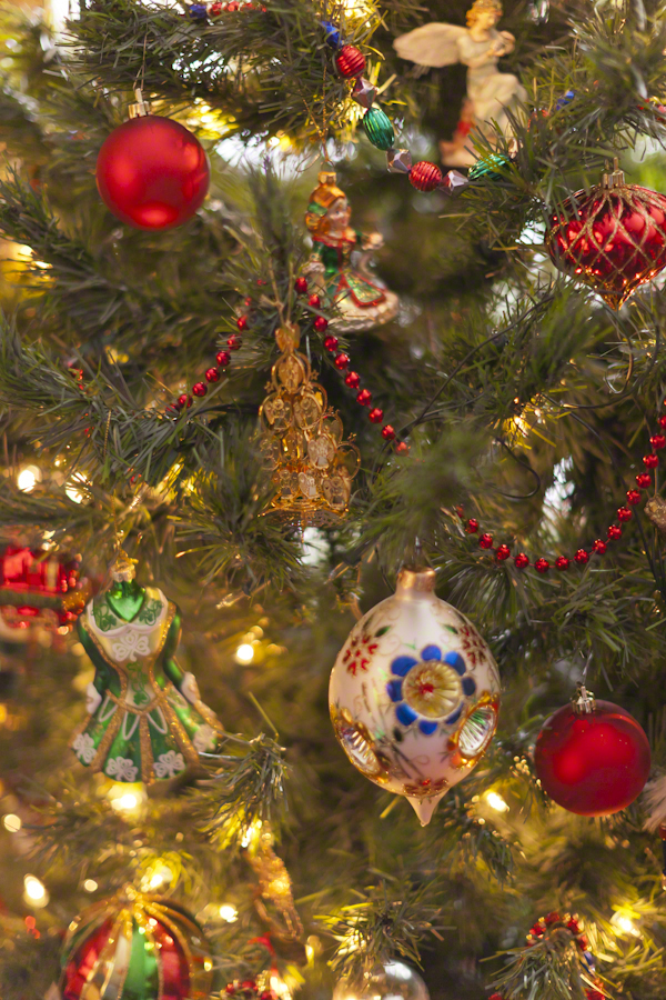
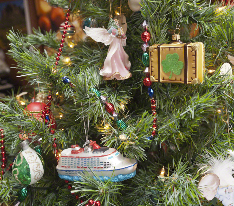
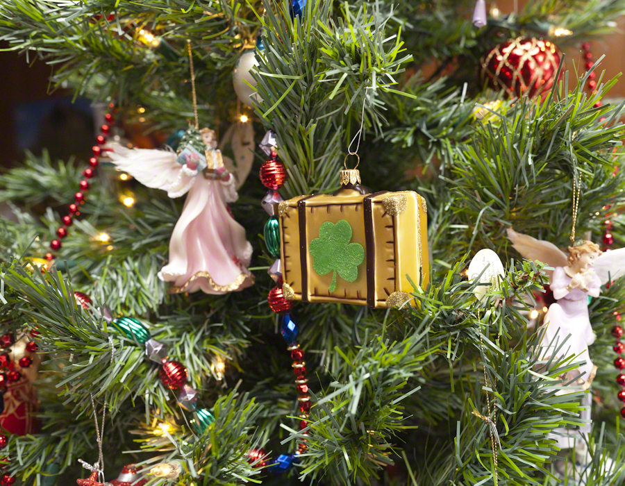
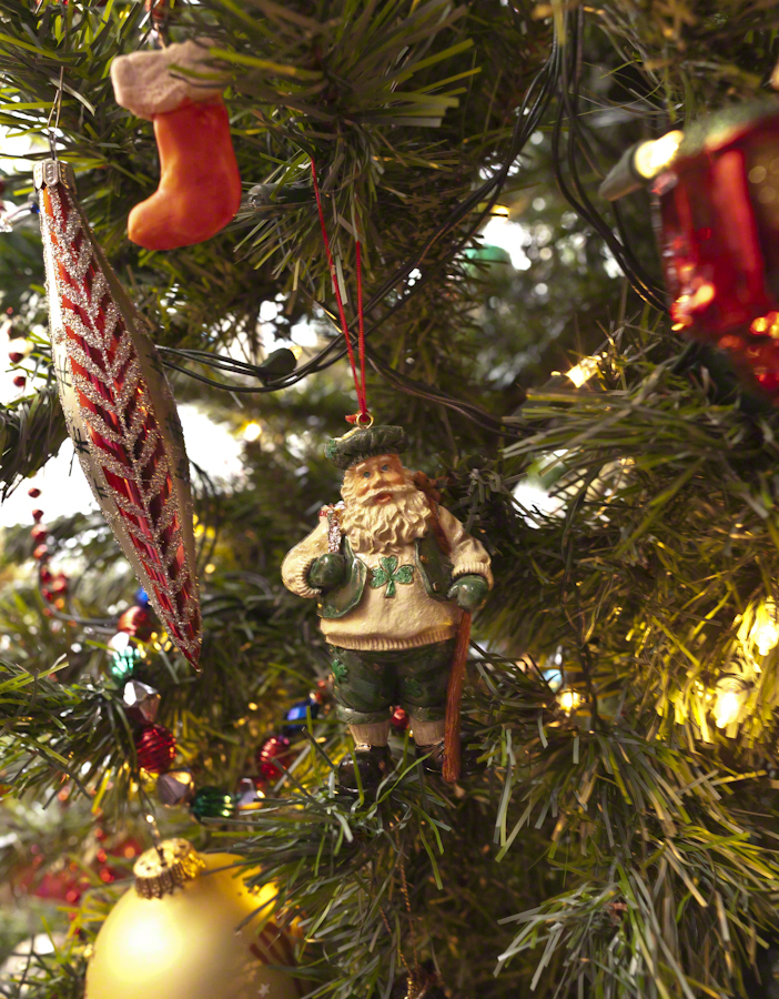
This is part of my project to document our Christmas memories through photography. Here we explore the Irish and Ireland themes of our decorated Christmas Tree.
Where would we be without Saint Patrick? He was a force, to be sure. A favorite story, is the landing of his return to the island 432 AD. The tides on the eastern coast of the Irish Sea can be strong. His plan was to sail up to coast further north than what we call today Strangford Lough. On passing this inlet the boat was swept into the lough tidal narrows. Circumstances called for a landing, rather than wait for the tide. Patrick came ashore where the Slaney River enter the lough and “quickly converted” the local chieftan, Dichu, who provided a barn for holding services. The name of the town “Saul” in Irish is Sabhall Phádraig, translated as “Patrick’s Barn.”
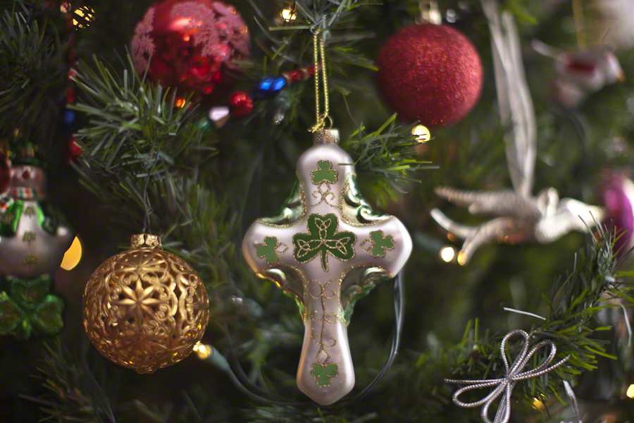
In this posting I’ll go lighter on descriptions of technique. Leave it to say I held to the Canon fixed lens EF 50mm f1.2L USM throughout. Some, like the photograph of Saint Patrick, used a tripod. Others, like the latter two of the following Irish Themed Cross set were handheld. Generally a flash was used to supplement ambient sunlight from a large north-facing bay window.
Here the “celtic” cross is converted to an Irish theme through a substitution of a shamrock with golden decoration inspired by pagan neolithic petroglyphs for the nimbus (circle) intersecting the central intersection of arms and stem.
For the first three I played with aperture, taking advantage of the stability of a tripod. The final two of the set are handheld.
Note the fanciful leprechaun snowman with pot o’ gold, on the left.
Blown glass Irish dancers.
“Travel memories”
the suitcase for our 2014 tour of the island and re-connection with family. Also a symbol of our ancestors travel across the Atlantic ocean to North America.
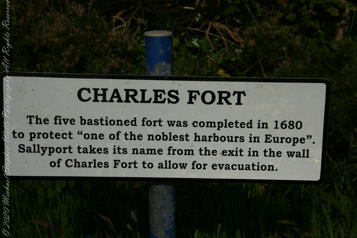
After exploring Kinsale town and lunch Pam and I drove two miles, along the east side of the cove, to the ruins of Charles Fort, one of a pair of fortifications protecting Kinsale from seaward attack. The “New Fort,” Charles, faces the “Old Fort”, James, across the cove.
Built in the 17th century on the site of an older fortification, Ringcurran Castle, it is named for Charles II, the English monarch of the time. The fort was burned during by retreating anti-treaty forces in 1922 during the Irish Civil war. It lay derelict until today’s 1971 until now restoration.
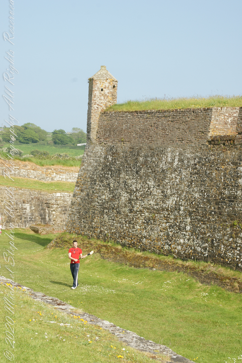
Upon our arrival this young man was handling a hurley and sliotar beneath the fort wall, an incarnation of Cúchulainn playing hurling at Emain Macha. From Wikipedia, “Hurling is older than the recorded history of Ireland. It is thought to predate Christianity, having come to Ireland with the Celts. The earliest written references to the sport in Brehon law date from the fifth century. Seamus King’s book A History of Hurling references oral history going back as far as 1200 BCE of the game being played in Tara, County Meath. The tale of the Táin Bó Cuailgne (drawing on earlier legends) describes the hero Cúchulainn playing hurling at Emain Macha.”
The tenth and final of a series of idiosyncratic posts from a walking tour of Kinsale by Dermot Ryan. My Sony Alpha 700 captured the events back in May 2014.
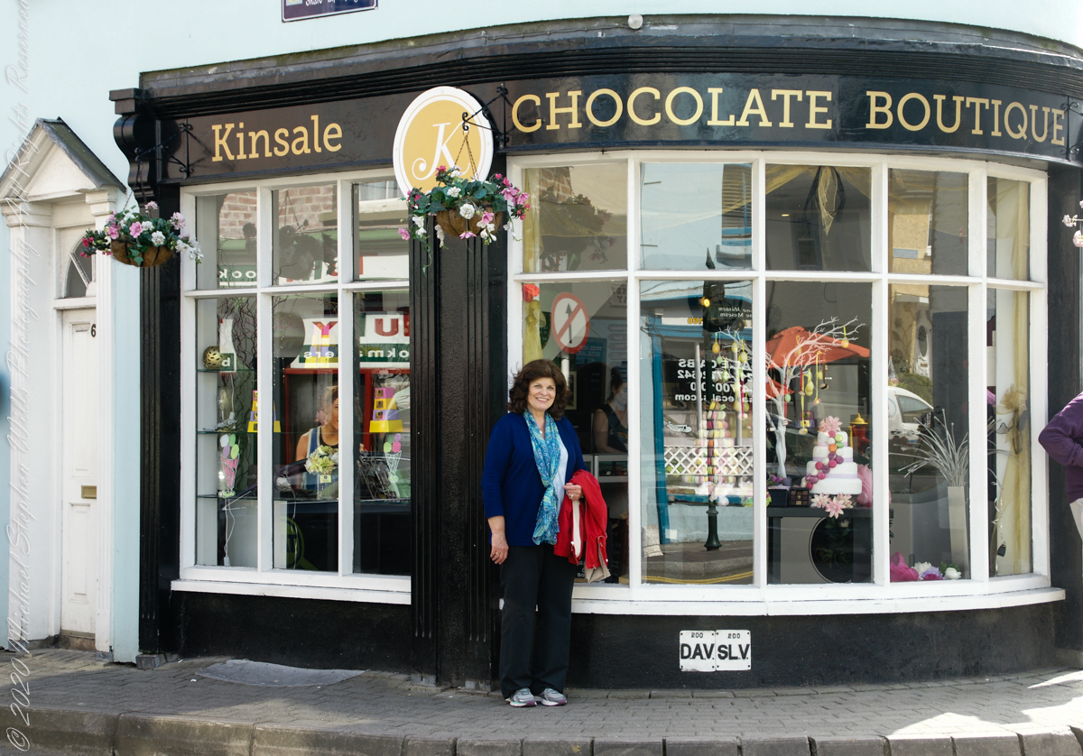
We are headed toward lunch along the River Bannon. The Kinsale Chocolate Boutique, Exchange Buildings, 6 Market Square, did not survive the pandemic. This iconic corner is now the First South Credit Union (sigh).
SONY DSC
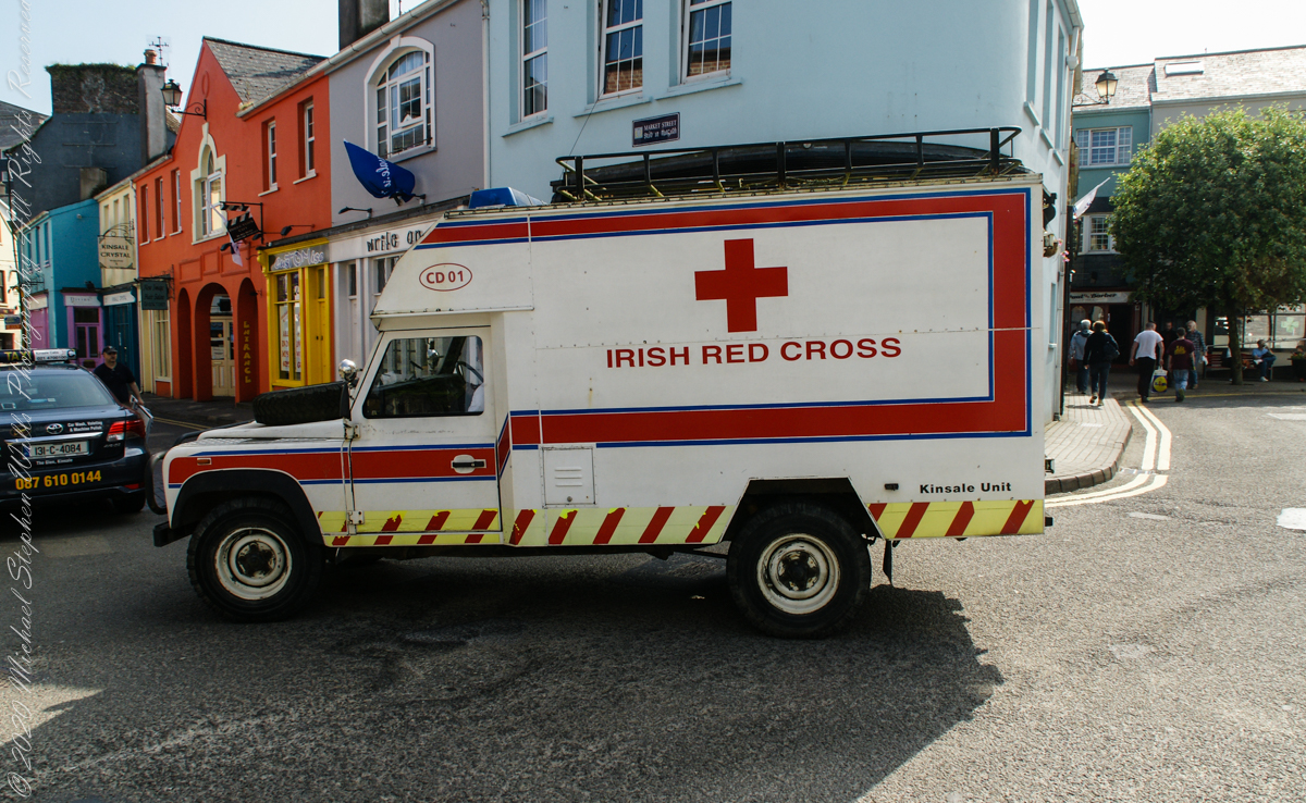
With headquarters in Dublin, the Irish Red Cross provides in Ireland (click the links to learn more):
Come out of the center town to walk along Pier Road, River Bannon on its way to the harbor, on one side, town parks on the other.
Taking a walk along the river Bannon and Pier Road, Kinsale Town, County Cork, Ireland
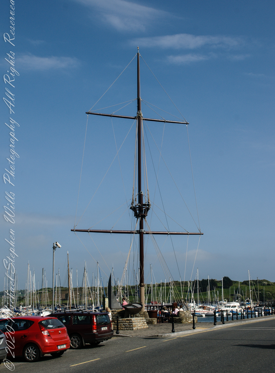
Across from Kinsale Town Park rises this Tall Ship mast and other memorabilia from Kinsale’s maritime heritage.
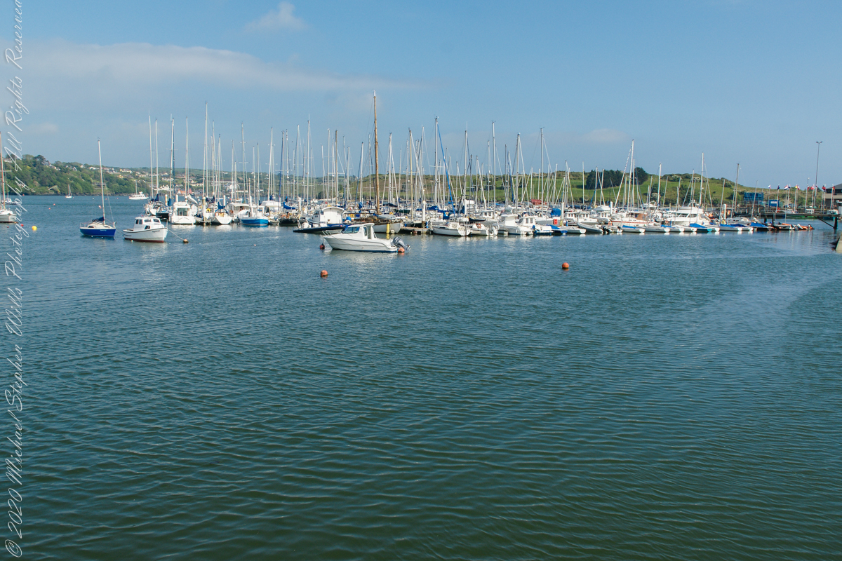
A few hundred feet away are moorings for the Kinsale Yacht club, ” located in Kinsale, County Cork lies just 120 nautical miles from Wales, 240 from North West France and only 500 from the Galician Coast of North Spain. Most significantly it is only 30 km by road from Cork, Ireland’s second city, and between the two lies one the region’s main assets – Cork International Airport – with its daily links to many European capitals. Keelboats and Dinghies. The club runs inshore and offshore races, has active cruising and powerboat sections and most significantly for any real club, a strong and dynamic junior training program. Kinsale Yacht Club and marina are only a few minutes walk from every shop, hotel, pub and restaurant in Ireland’s gourmet capital.” — from the Yacht Club web site.
Moorings for pleasure craft on the River Bannon, off Pier Road (R100), the town of Kinsale, County Cork, Republic of Ireland
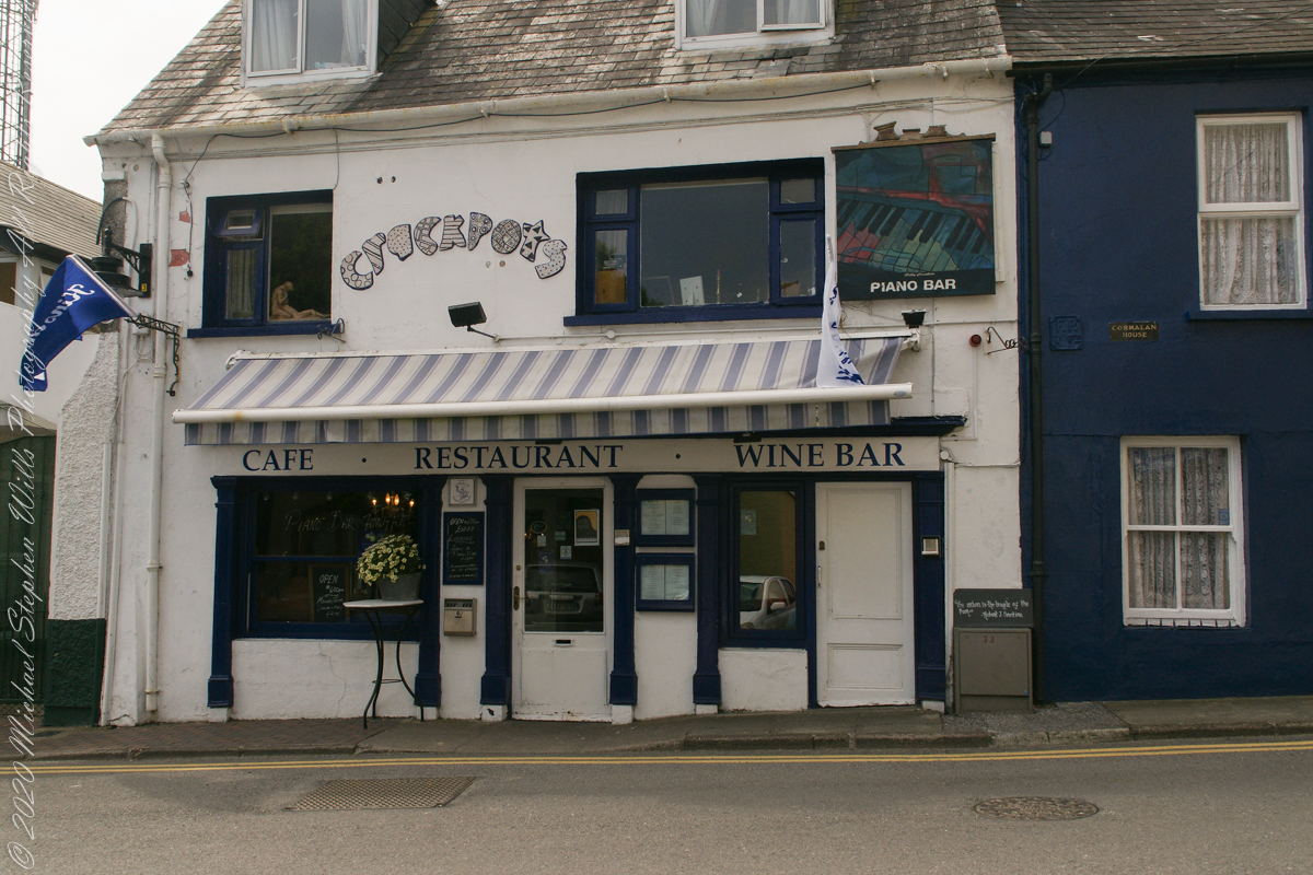
Look closely to see this quote “The Onion is the truffle of the poor.” –Robert J. Courtine. Crackpots was decorated with unusual pottery, a casualty of Covid-19.
“The Onion is the truffle of the poor.” –Robert J. Courtine Crackpots is closed post Covid-19, Kinsale, County Cork, ireland
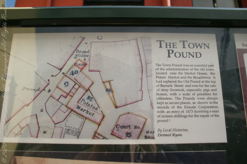
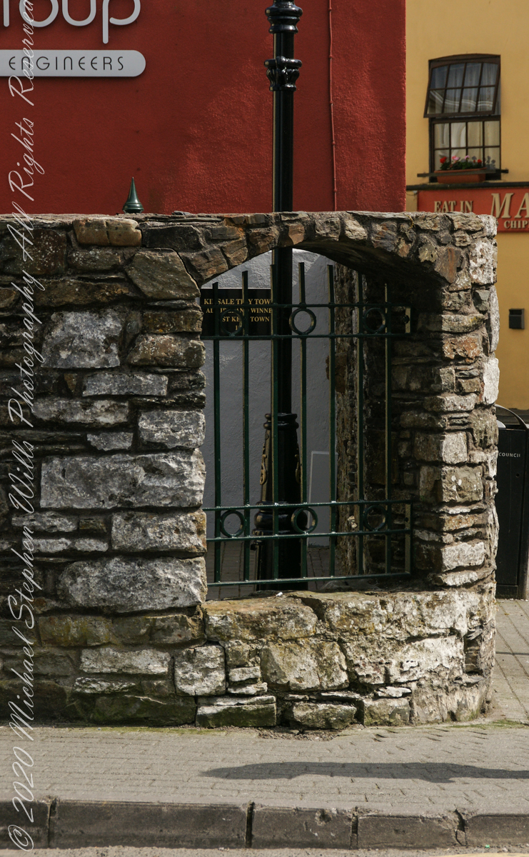
From a placard inside the stone walled “Town Pound.” “The Town Pound was an essential part of the administration of the old town, located near the Market House, the Potato Market and the Broadstone. It had replaced the Old Pound at the top of Barrack Street and was for the care of stray livestock, especially pigs and horses, with a scale of penalties for offenders. The Pounds were always kept as secure places, as shown in the records of the Kinsale Corporation, with an entry of 1673 itemizing a sum of sixteen shillings for the repair of the pound!” By Local Historian, Dermot Ryan.
Outer wall of “the Town Pound” historical site. Corner of Marketplace and Guardwell, Kinsale, County Cork Ireland
The Tan Tavern is on the other side of Guardwell street, seen here over the stone wall of “The Old Town Pound” historical site.
The Tan Tavern is on the other side of Guardwell street, seen here over the stone wall of “The Old Town Pound” historical site. Corner of Market Place and Guardwell. Kinsale, County Cork, Ireland.
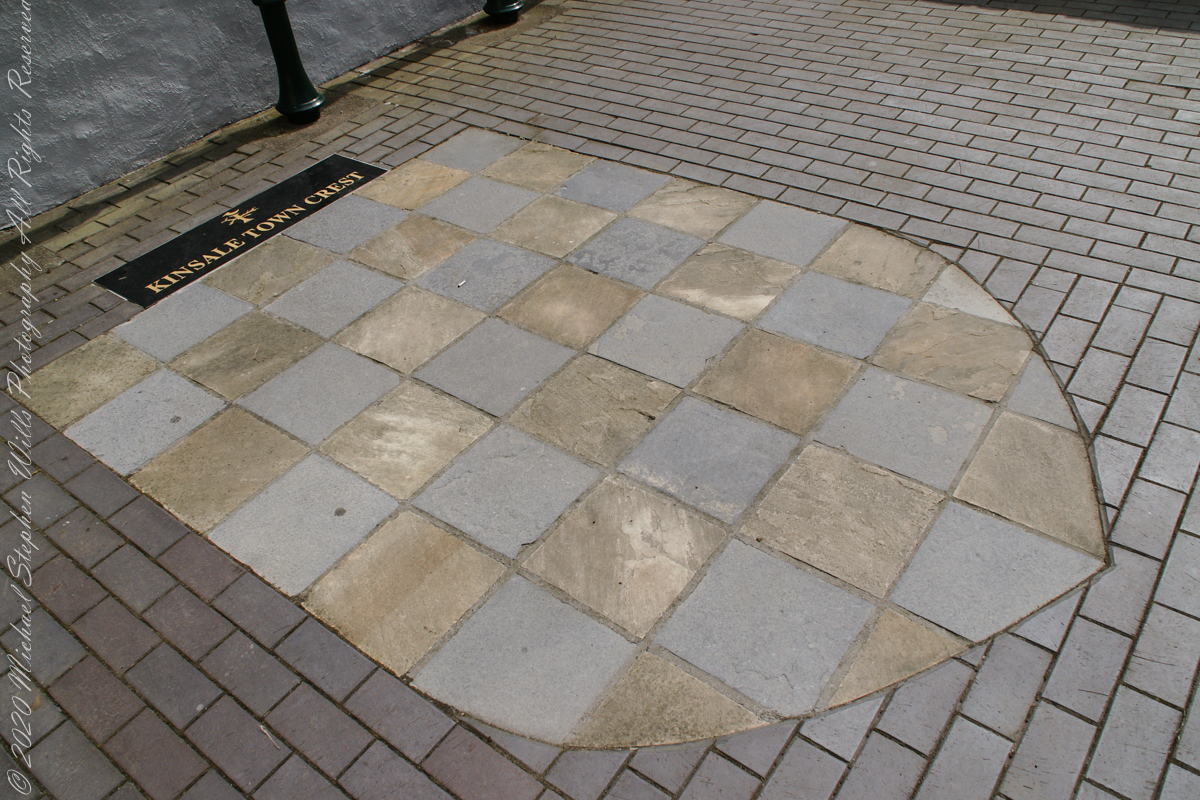
“Kinsale Town Crest
Within walls of the historical site, “The Town Pound.”. Kinsale, County Cork, Republic of Ireland
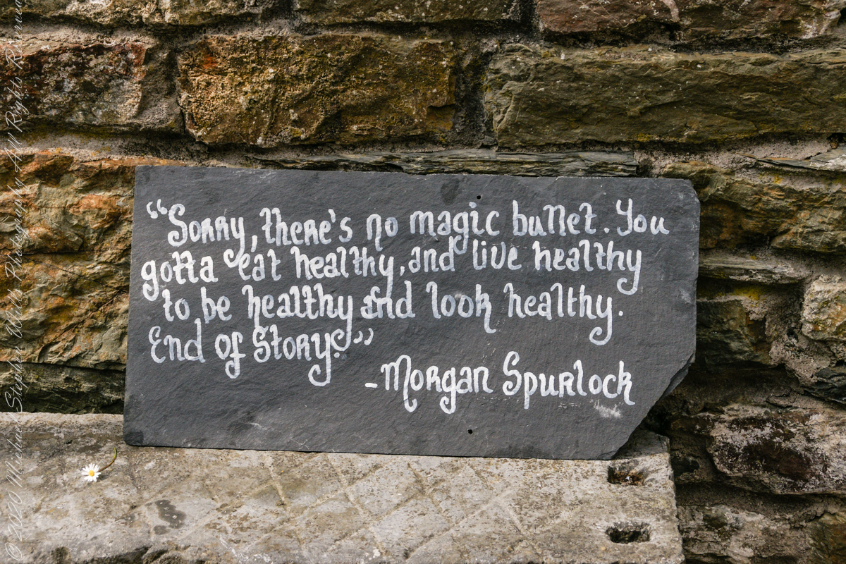
I don’t recall where exactly this quote was placed. It is associated in time with the Town Pound (photo time stamps). Morgan Spurlock of the documentary “Supersize Me” is an American of Irish descent.
Morgan Spurlock of “Supersize Me”, an American of Irish descent.
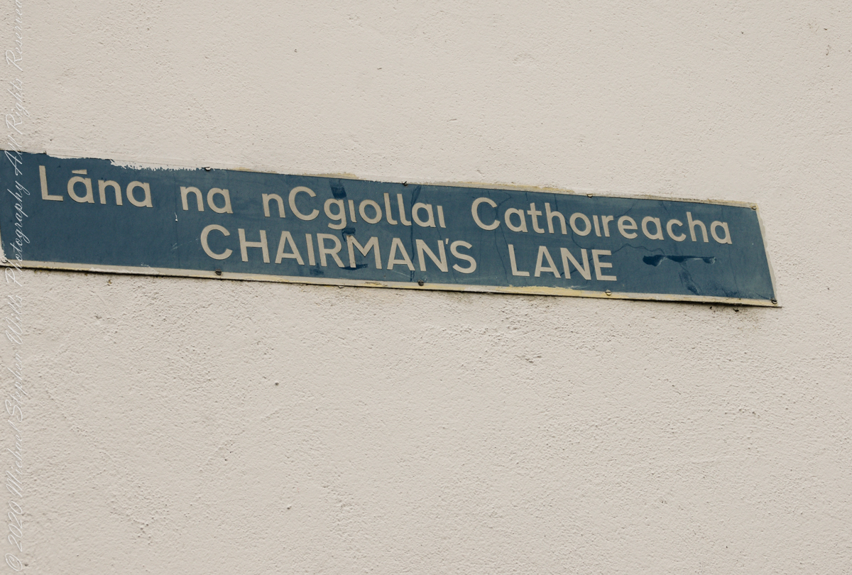
Ducking into an alleyway with the haughty name, “Chairmans’ Way,” we stepped into a different world.
An allyway of Kinsale, County Cork, Ireland
Promising a castle, it delivered these charming offerings.
“Desmond’s Castle” is a tourist attraction, a historic “castle” and wine museum at the corner of Chairman’s Lane and Cork Street, Kinsale, County Cork, Ireland
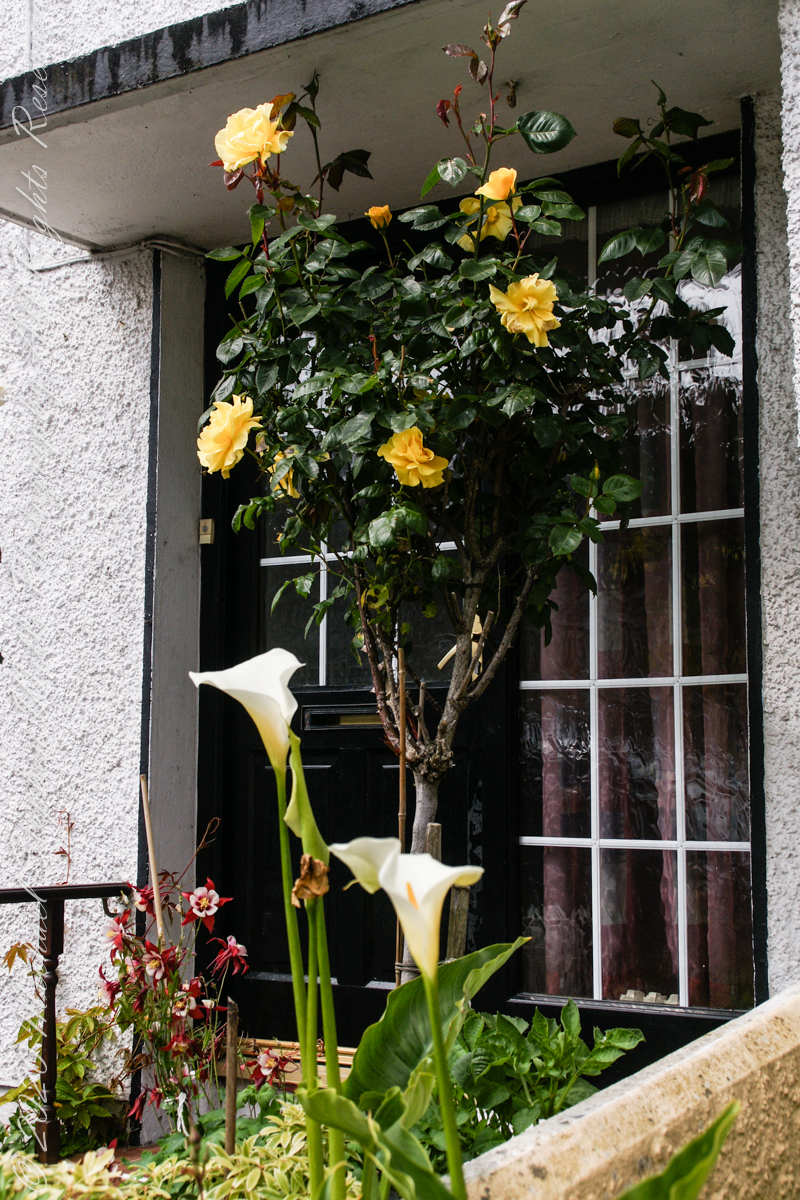
This doorway, yellow roses (Pam’s favorite) and Calla Lilies.
Around Chairman’s Lane and Cork Street, Kinsale, County Cork, Ireland
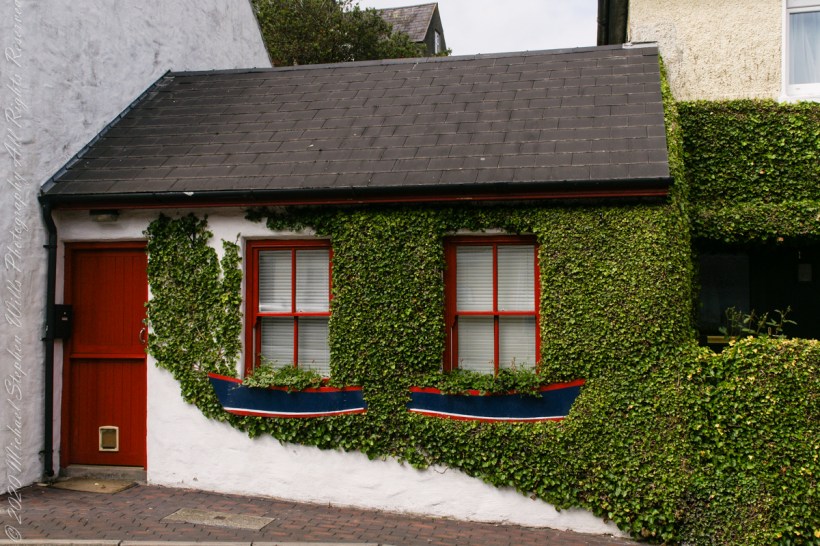
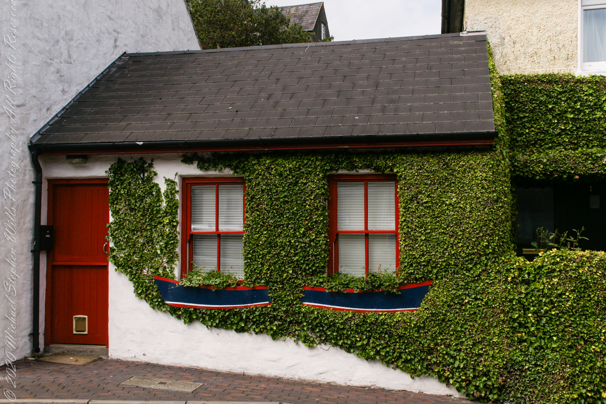
An ivy clad nook / cottage.
Around Chairman’s Lane and Cork Street, Kinsale, County Cork, Ireland