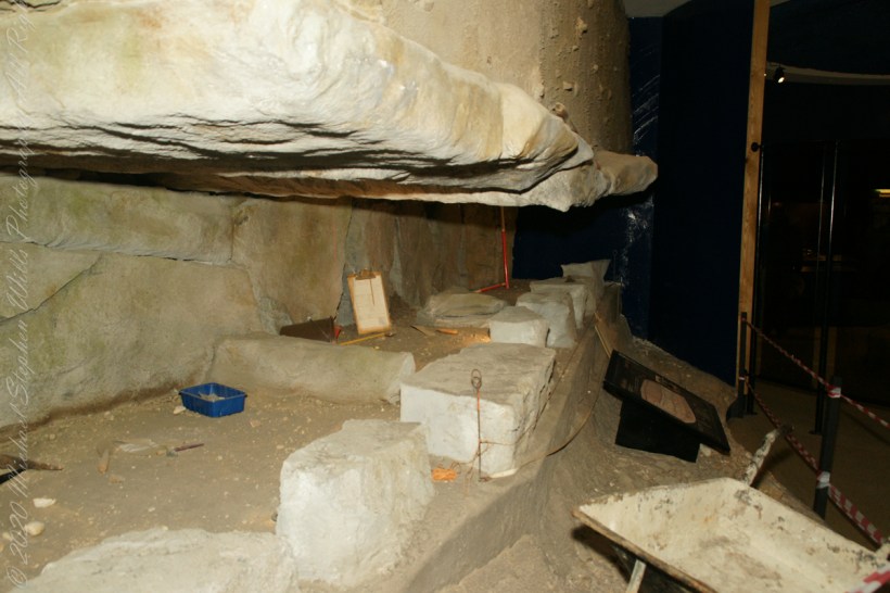
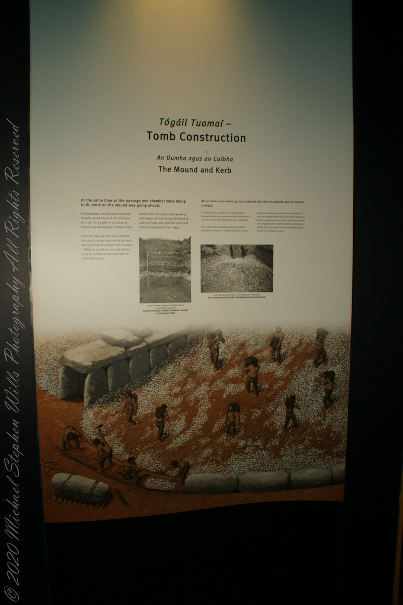
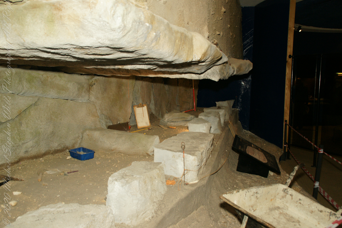
At the same time as the passage and chamber were being built, work on the mound was going ahead.
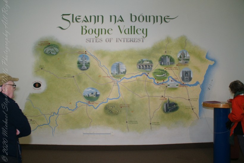
Brú na Bóinne Visitor Center, Dunleek Lower, County Meath, Republic of Ireland
At Newgrange, and the main mound at Knowth, an area around the tomb was left clear for a platform of stones to encase and stabilize the chamber roofs.
Brú na Bóinne Visitor Center, Dunleek Lower, County Meath, Republic of Ireland
Once the passage roof was complete, structural experts returned to the kerb and continued to set the slabs in place — either in sockets or on prop stones, so as to achieve an even top-line all-round the mound.
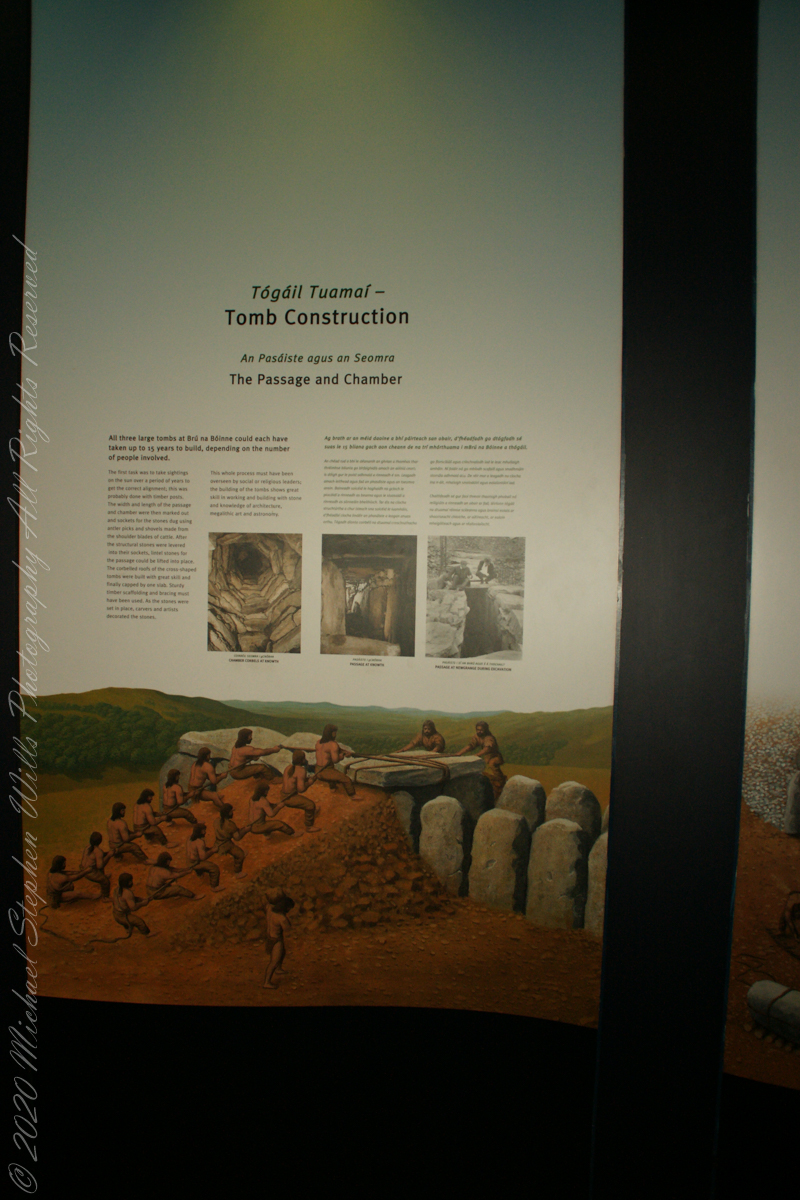
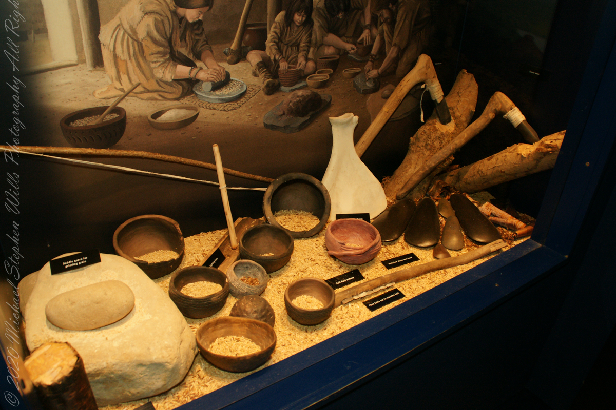
The initial task for the builders of Newgrange involved recording the annual alignment of the rising sun over several years, which was likely achieved using timber posts as markers. Subsequently, the dimensions of the passage and chamber were determined, and the groundwork was prepared by digging sockets for the structural stones. This excavation process was carried out using antler picks and shovels crafted from cattle shoulder blades.
Brú na Bóinne Visitor Center, Dunleek Lower, County Meath, Republic of Ireland
After the structural stones were carefully positioned and levered into their sockets, lintel stones for the passage could be lifted into place. The corbelled roofs of the cross-shaped tombs were built with great skill and finally capped by one slab. Sturdy timber scaffolding and bracing must have been used. As the stones were set in place, carvers and artists decorated the stones.
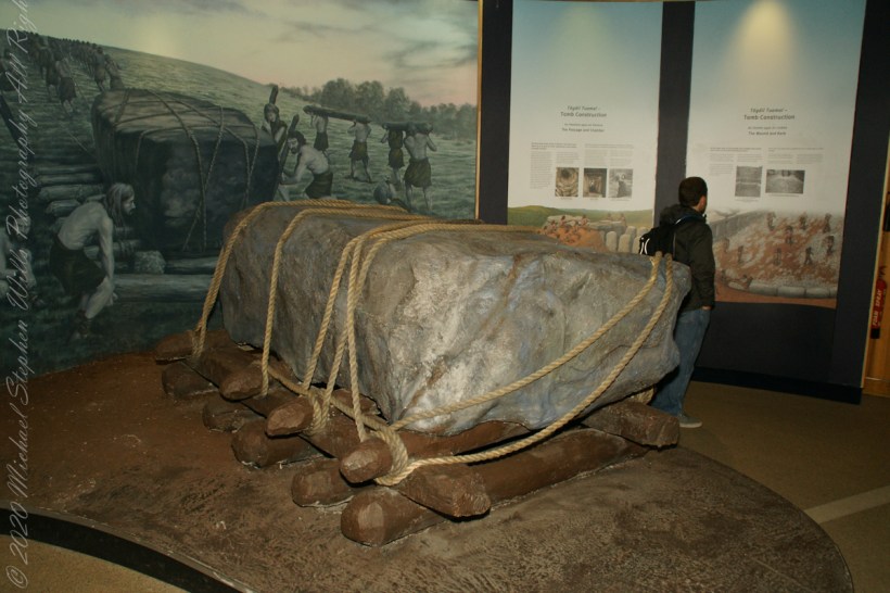
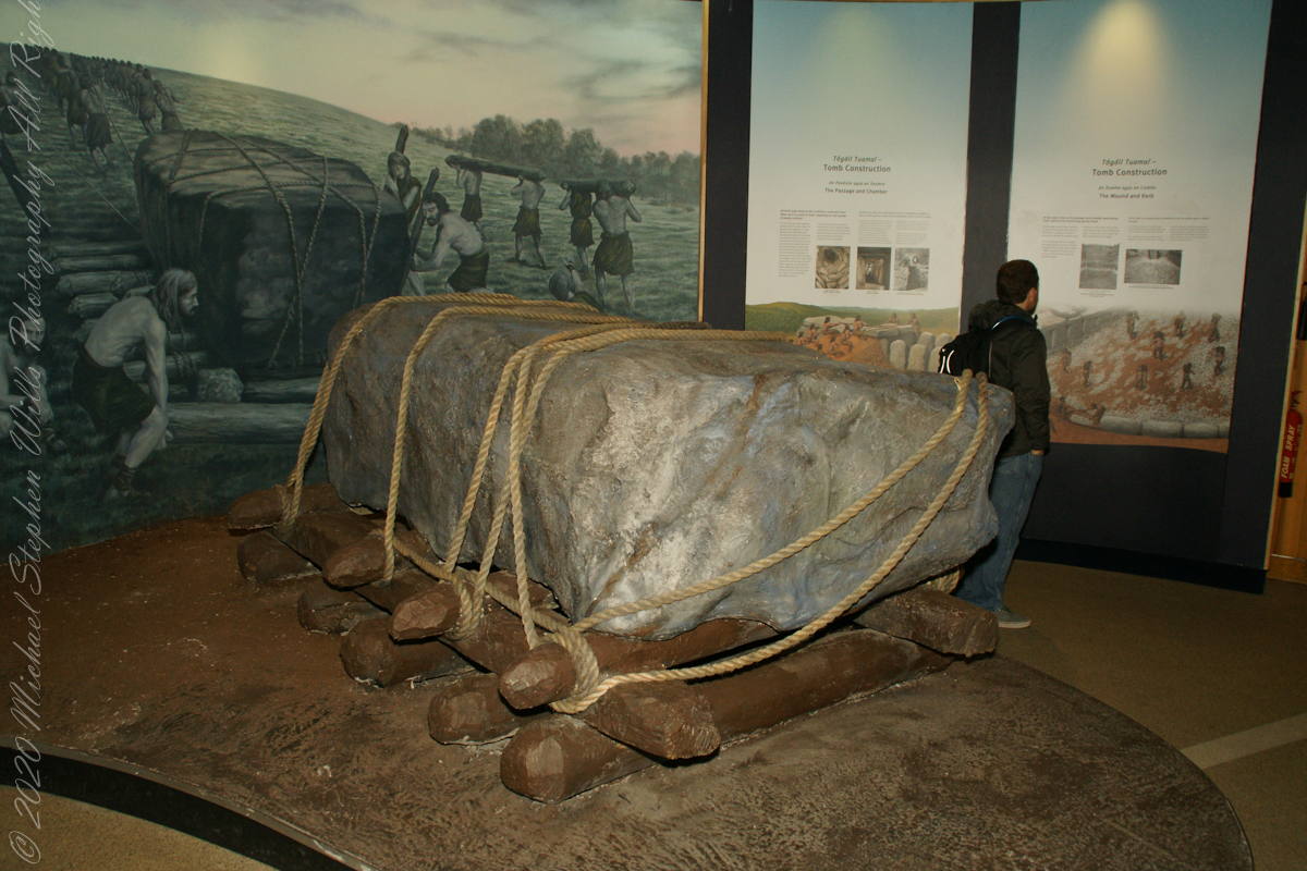
Brú na Bóinne Visitor Center display of envisioned technique for moving heavy stones during construction of Newgrange.
The whole process must have been overseen by social or religious leaders; the building of the tombs shows great skill in working and building with stone and knowledge of architecture, megalithic art and astronomy.
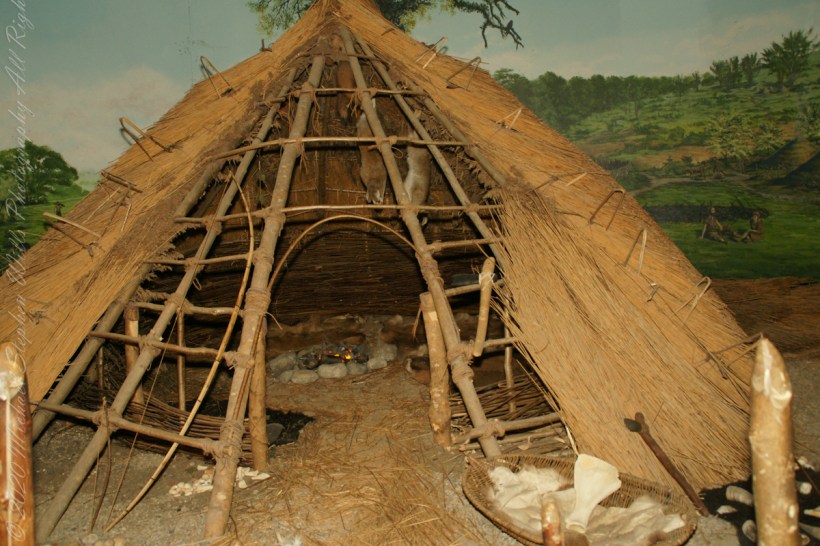
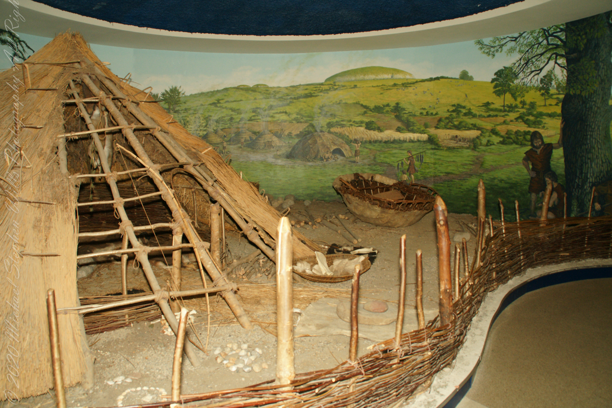
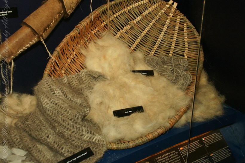
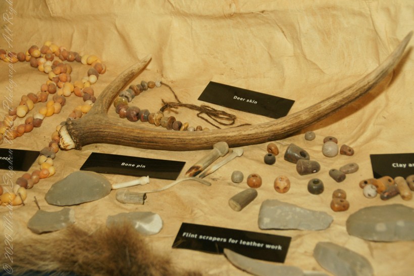
The Brú na Bóinne Visitor Center includes this tableau of the shelter of the ancient farmers who constructed Newgrange: the monument is in the background.
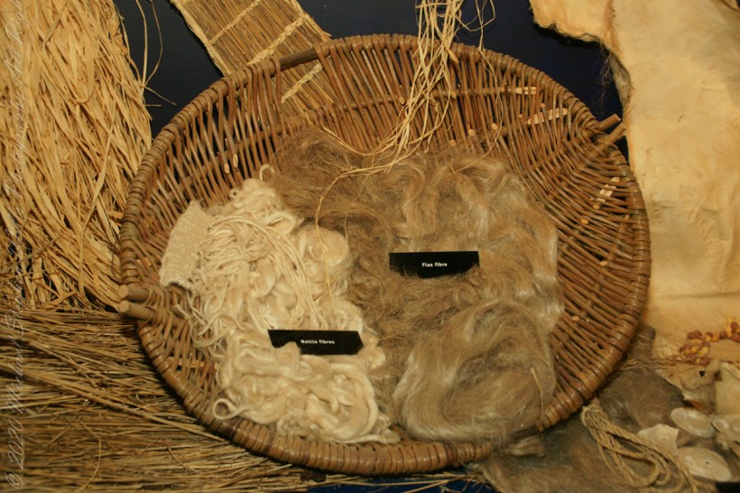
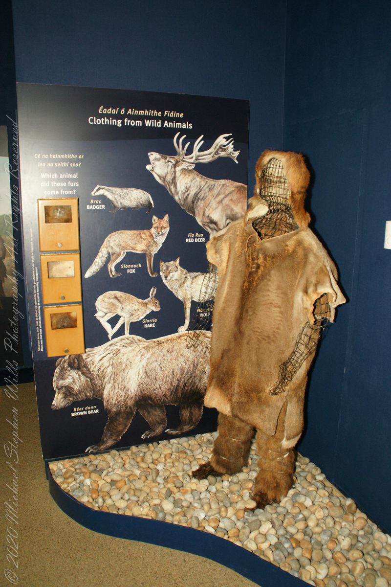
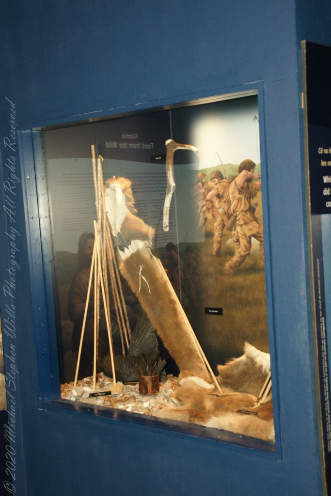
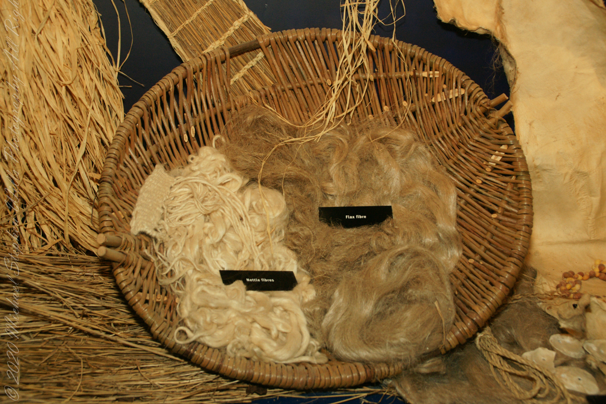
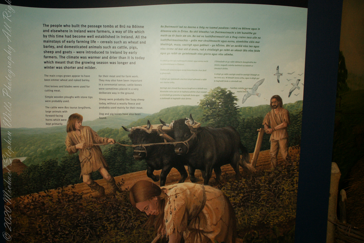
The people who built the passage tombs at Brú na Bóinne and elsewhere in Ireland were farmers, a way of life which by this time had become well established in Ireland. All the mainstays of early farming life — cereals such as wheat and barley, and domesticated animals such as cattle, pigs, sheep and goats — were introduced to Ireland by early farmers. T
he climate was warmer and drier than it is today which meant that the growing season was longer and winter was shorter and milder. The main crops grown appear to have been emmer wheat and naked barley. Flint knives and blades were used for cutting meat. Simple wooden ploughs with stone tips were probably used.
The cattle were Bos taurus longifrans, large animals with forward facing horns which were kept primarily for farm work and meat. Cattle may also have been important in a ceremonial sense; cattle bones were sometimes placed in a very deliberate way in the ground. Sheep were probably like Soay sheep today, without a woolly fleece and probably used mainly for their meat. Dog and pig bones have also been found.
Copyright 2023 Michael Stephen Wills All Rights Reserved
Thirty minutes headed up the M1 from Dublin Airport Pam and I arrived at Brú na Bóinne Visitor Center, gateway to Newgrange. Archaeologists classified Newgrange as a passage tomb, however Newgrange is now recognized to be much more than a passage tomb. Ancient Temple is a more fitting classification, a place of astrological, spiritual, religious and ceremonial importance, much as present day cathedrals are places of prestige and worship where dignitaries may be laid to rest.
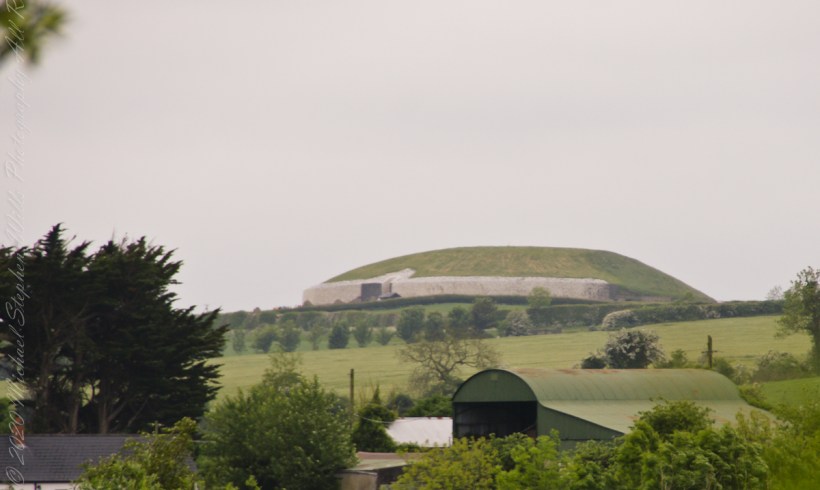
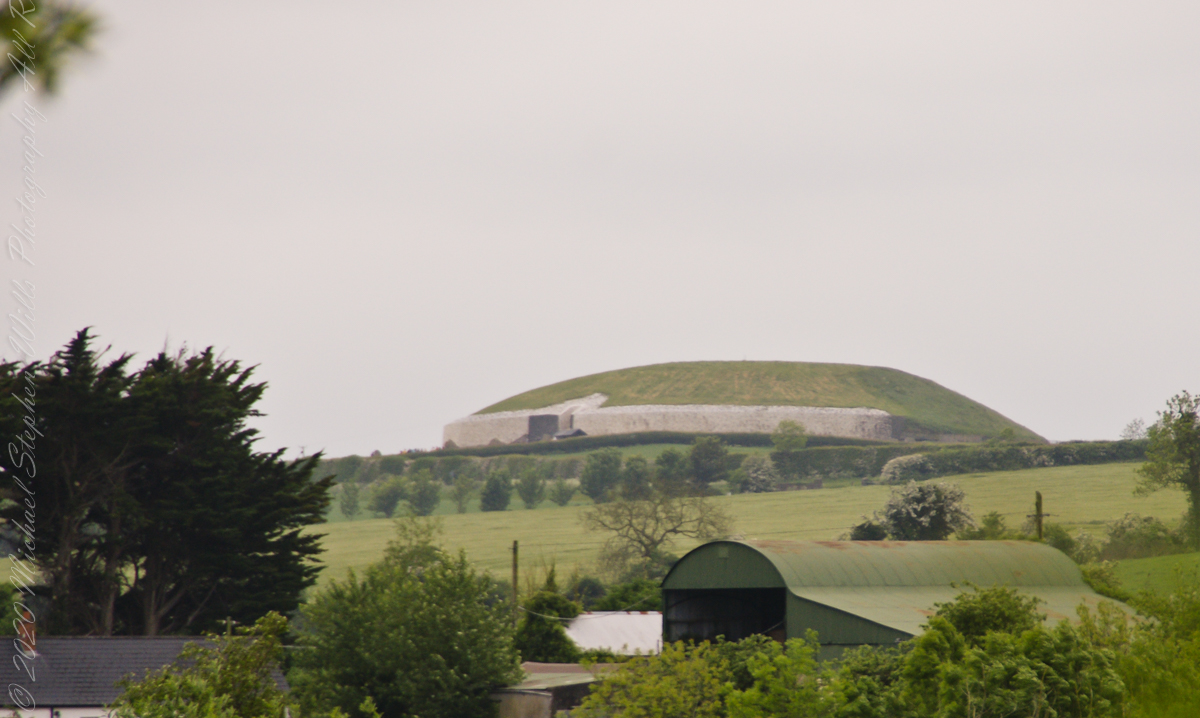
Walking on the south bank of River Boyne we first glimpsed Newgrange on the hill above.
Bounded on the south by a bend in the River Boyne, the prehistoric site of Brú na Bóinne is dominated by the three great burial mounds of Knowth, Newgrange and Dowth. Surrounded by about forty satellite passage graves, they constitute a funerary landscape recognized as having great ritual significance, subsequently attracting later monuments of the Iron Age, early Christian and medieval periods.
Newgrange was built by Stone Age farmers, the mound is 85m (279ft) in diameter and 13m (43ft) high, an area of about 1 acre. Newgrange was constructed about 5,200 years ago (3,200 B.C.) which makes it older than Stonehenge and the Great Pyramids of Giza.
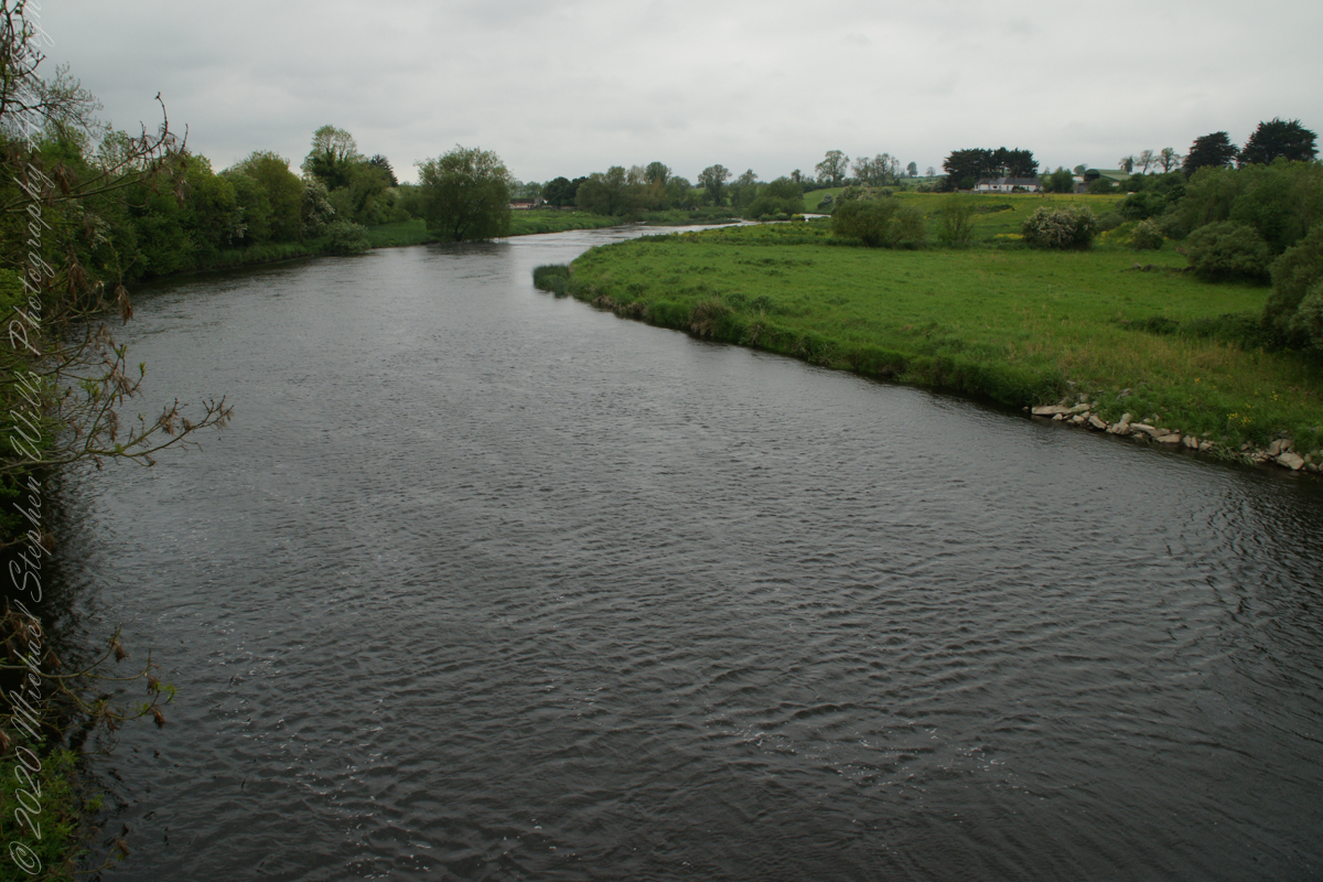
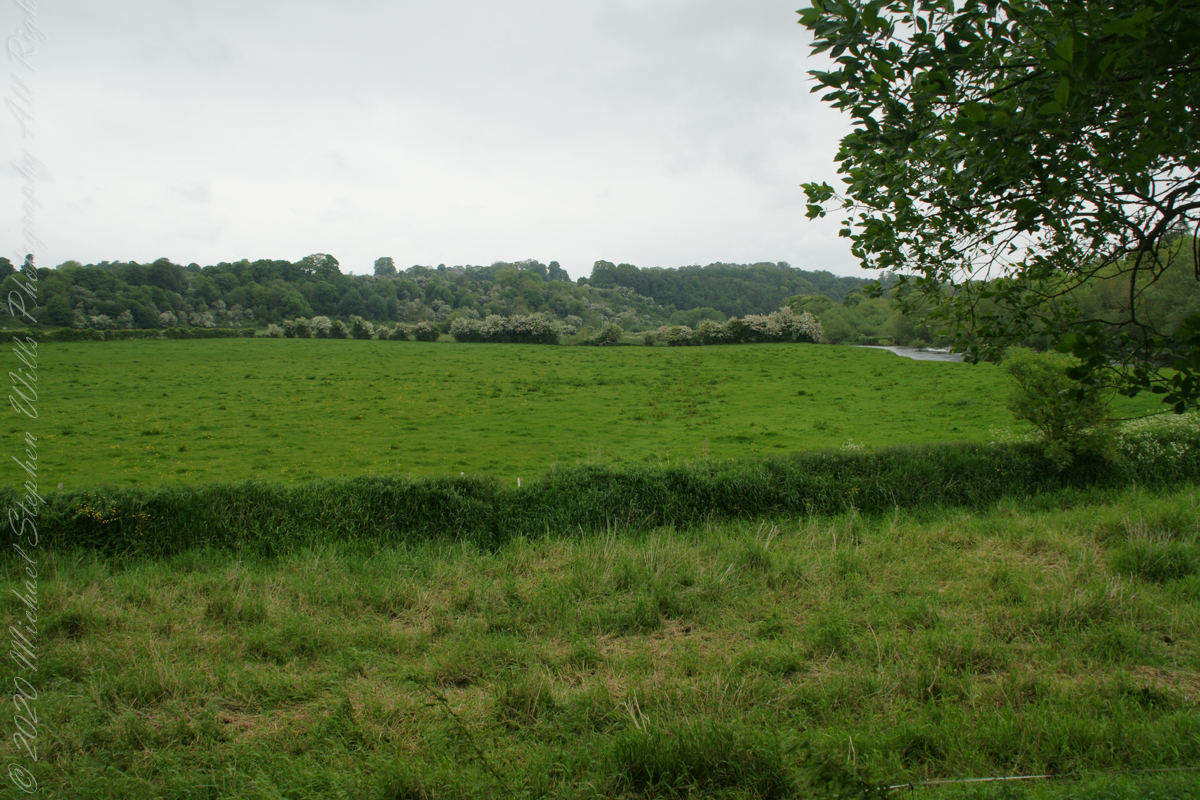
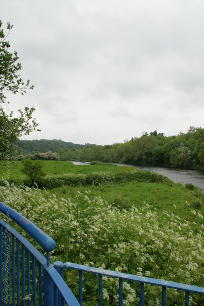
A overlook in Brú na Bóinne Visitor Center provides a view of River Boyne from the south bank. Here we are looking west.
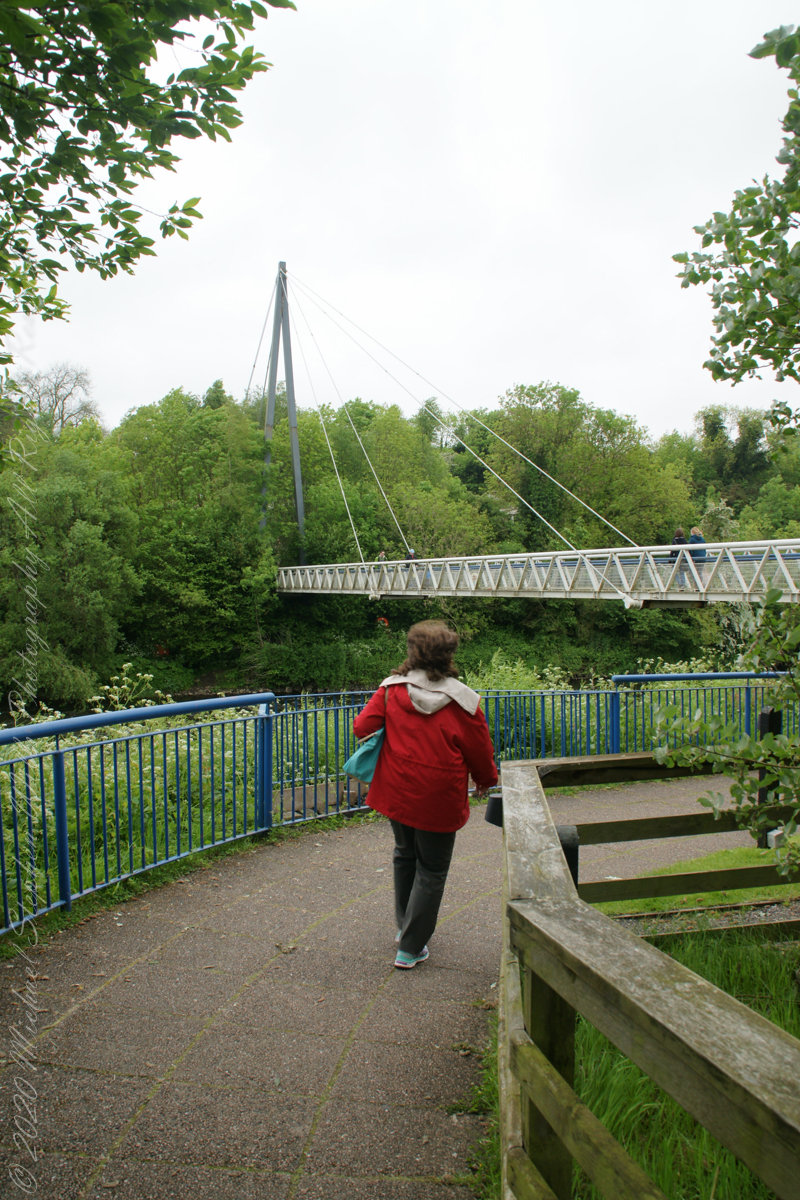
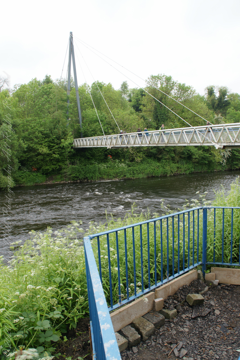
Footbridge over River Boyne
We are on the south bank.
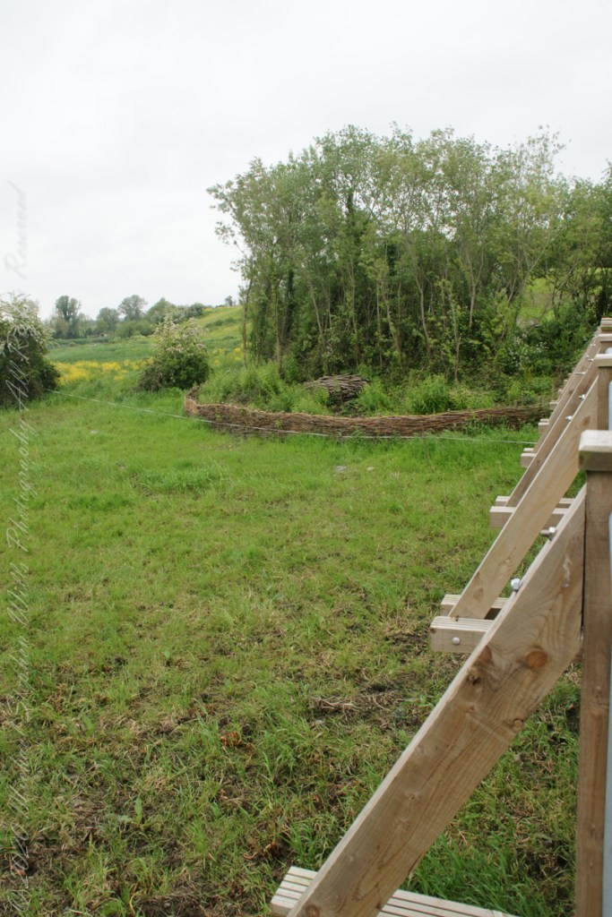
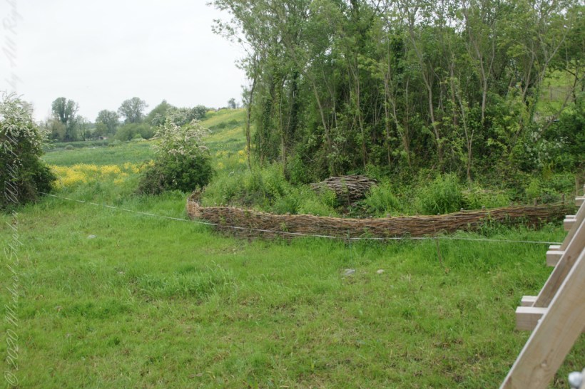
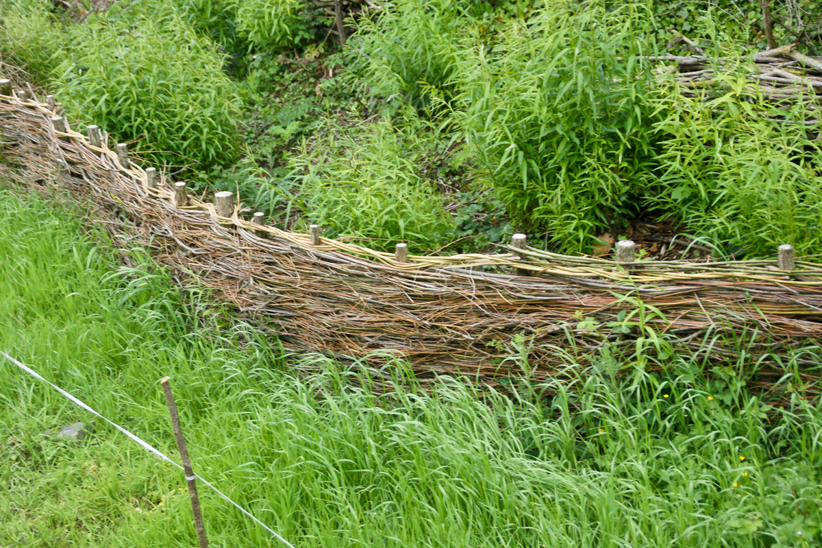
Queen Ann’s Lace on the south bank of River BoyneOh my gosh!! A wattle fence, an ancient technique.
Wattle is made by weaving flexible branches around upright stakes to form a woven lattice. The wattle may be made into an individual panel, commonly called a hurdle, or it may be formed into a continuous fence. Wattles also form the basic structure for wattle and daub wall construction, where wattling is daubed with a plaster-like substance to make a weather-resistant wall.
Copyright 2023 Michael Stephen Wills All Rights Reserved
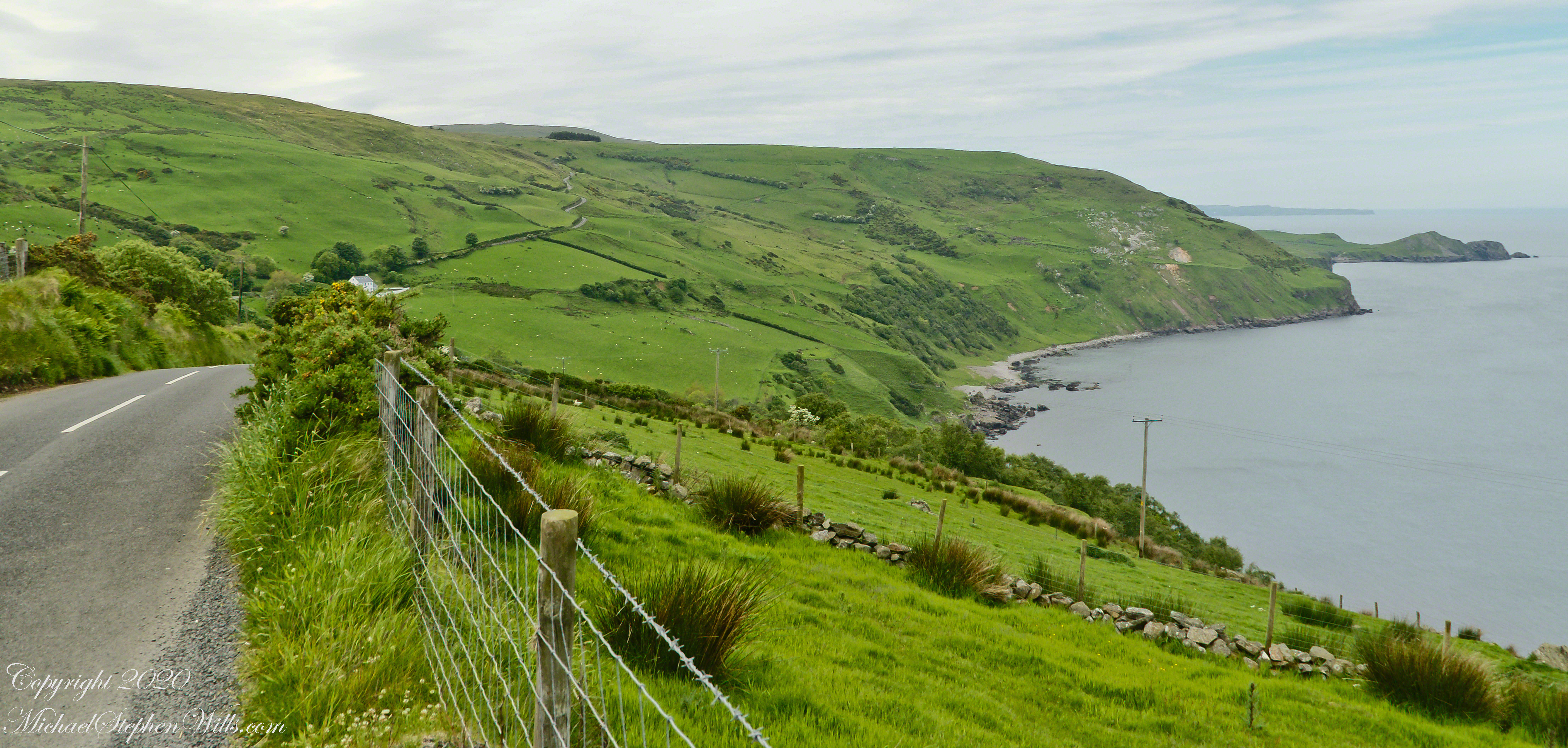
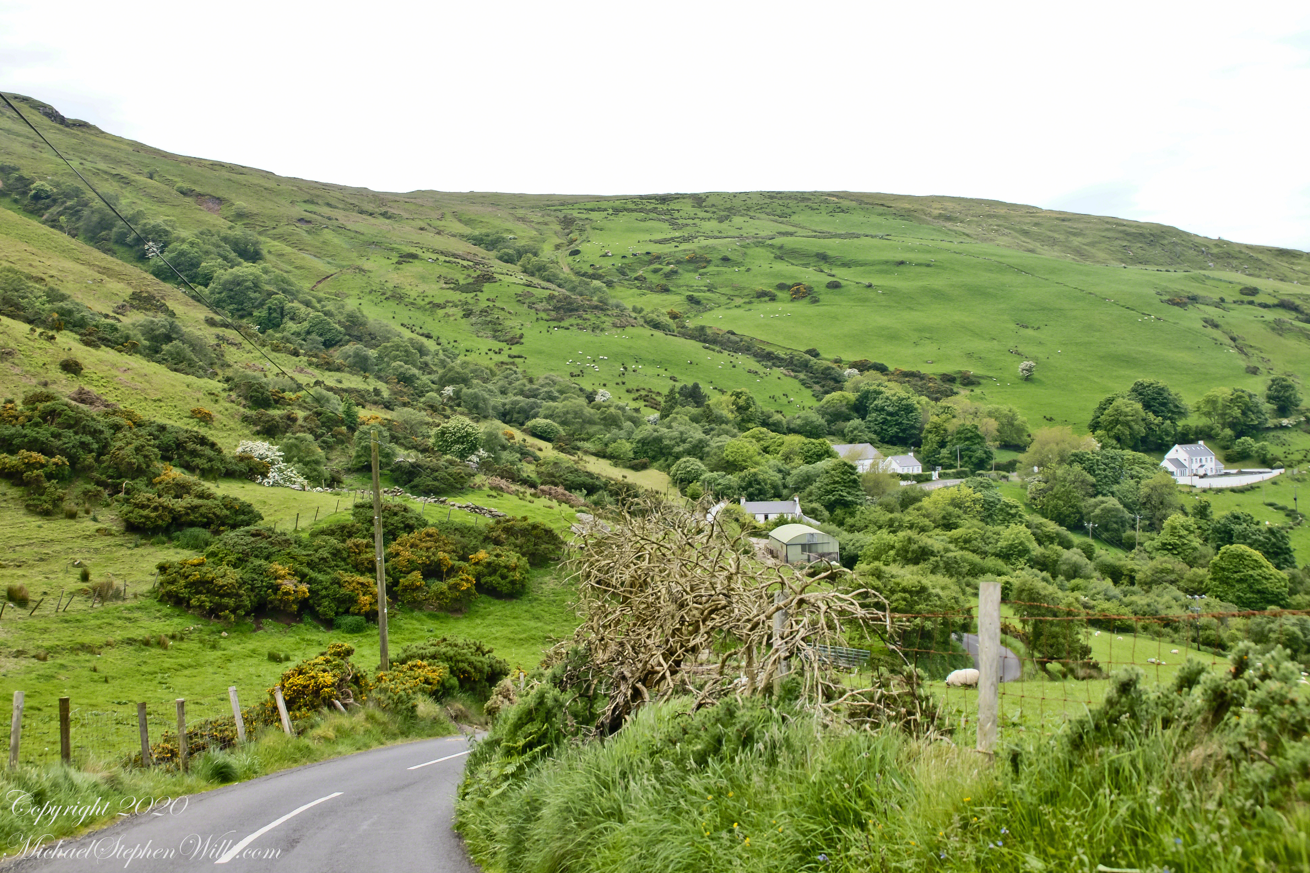
This photograph from the bottom of the Torr Road hill takes in Coolranny Townland. a slice of land running from the ridge to Loughan Bay. We see a number of hawthorne trees in flower, yellow flowering Whin Bush, houses and the Roman Catholic church Saint Mary’s Star of the Sea.
Tor in Irish is a steep rocky height. Likewise, Corr means odd, uneven, rounder, convex, curved, peaked, projecting, smooth. Combined Torcorr is the townland where we stopped on the Torr Road, halted by our wonder at this sight. In the distance, Torr Head projects into North Channel, the closest land to Scotland. Following the coast, the cliffs in front of Torr Head is home to numerous sea birds. The curved bay is named Loughan, the rocky sand beach are ruins of cottages emptied by Irish emigration. The white building is Saint Mary’s Star of the Sea Roman Catholic Church. County Antrim, Northern Ireland.
View of Coolranny townland with Saint Mary’s Star of the Sean Roman Catholic Church from Torcorr townland, Torr Road . County Antrim, Northern Ireland.
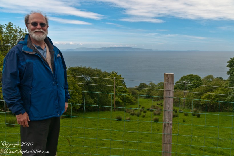
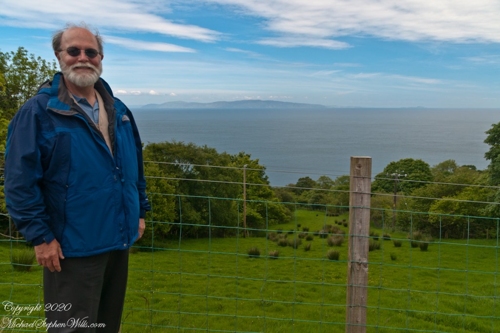
The photograph of the header, taken by Pam, is from either Coolranny or Loughan Townland, looking across a sheep pasture, the North Channel of the Irish Sea toward the Mull of Kintyre, Scotland just twelve miles distant.
Here is a slideshow of this post’s images. To visit from WordPress Reader, you need to first click the title of this post to open a new page.
Tor in Irish is a steep rocky height. Likewise, Corr means odd, uneven, rounder, convex, curved, peaked, projecting, smooth. Combined Torcorr is the townland where we stopped on the Torr Road, halted by our wonder at this sight. In the distance, Torr Head projects into North Channel, the closest land to Scotland. Following the coast, the cliffs in front of Torr Head is home to numerous sea birds. The curved bay is named Loughan, the rocky sand beach are ruins of cottages emptied by Irish emigration. The white building is Saint Mary’s Star of the Sea Roman Catholic Church. County Antrim, Northern Ireland.View of Coolranny townland with Saint Mary’s Star of the Sean Roman Catholic Church from Torcorr townland, Torr Road . County Antrim, Northern Ireland.On the way to Torr Head we stopped at this spot in Coolranny Townland to take in this view of the Irish Sea. The land overlooks Loughan Bay toward the Mull of Kintyre and Sanda Island, Scotland. County Antrim, Northern Ireland.
Copyright 2023 All Rights Reserved Michael Stephen Wills
In more recent centuries Loughcrew became the seat of a branch of the Norman-Irish Plunkett family, whose most famous member became the martyred St Oliver Plunkett. The family church stands in the grounds of Loughcrew Gardens. With its barren isolated location, Sliabh na Caillí became a critical meeting point throughout the Penal Laws for Roman Catholics. Even though the woods are now gone an excellent example of a Mass Rock can still be seen on the top of Sliabh na Caillí today. The Plunketts were involved in running the Irish Confederacy of the 1640s and were dispossessed in the Cromwellian Settlement of 1652. Their estate at Loughcrew was assigned by Sir William Petty to the Napier Family c.1655. The Napiers are descended from Sir Robert Napier who was Chief Baron of the Exchequer of Ireland in 1593.
Cairnbane East in Ireland, part of the Loughcrew Cairns complex, combines historical significance and folklore, particularly about a witch shaping these megalithic structures.
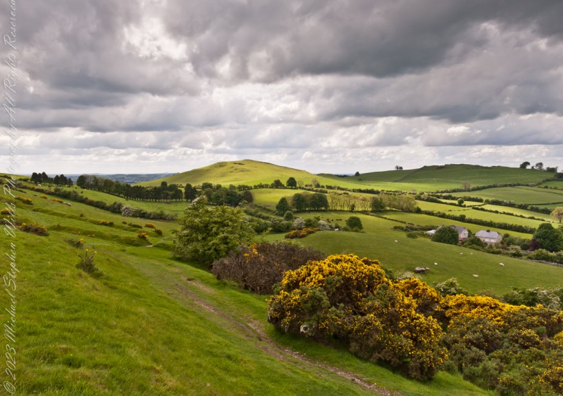
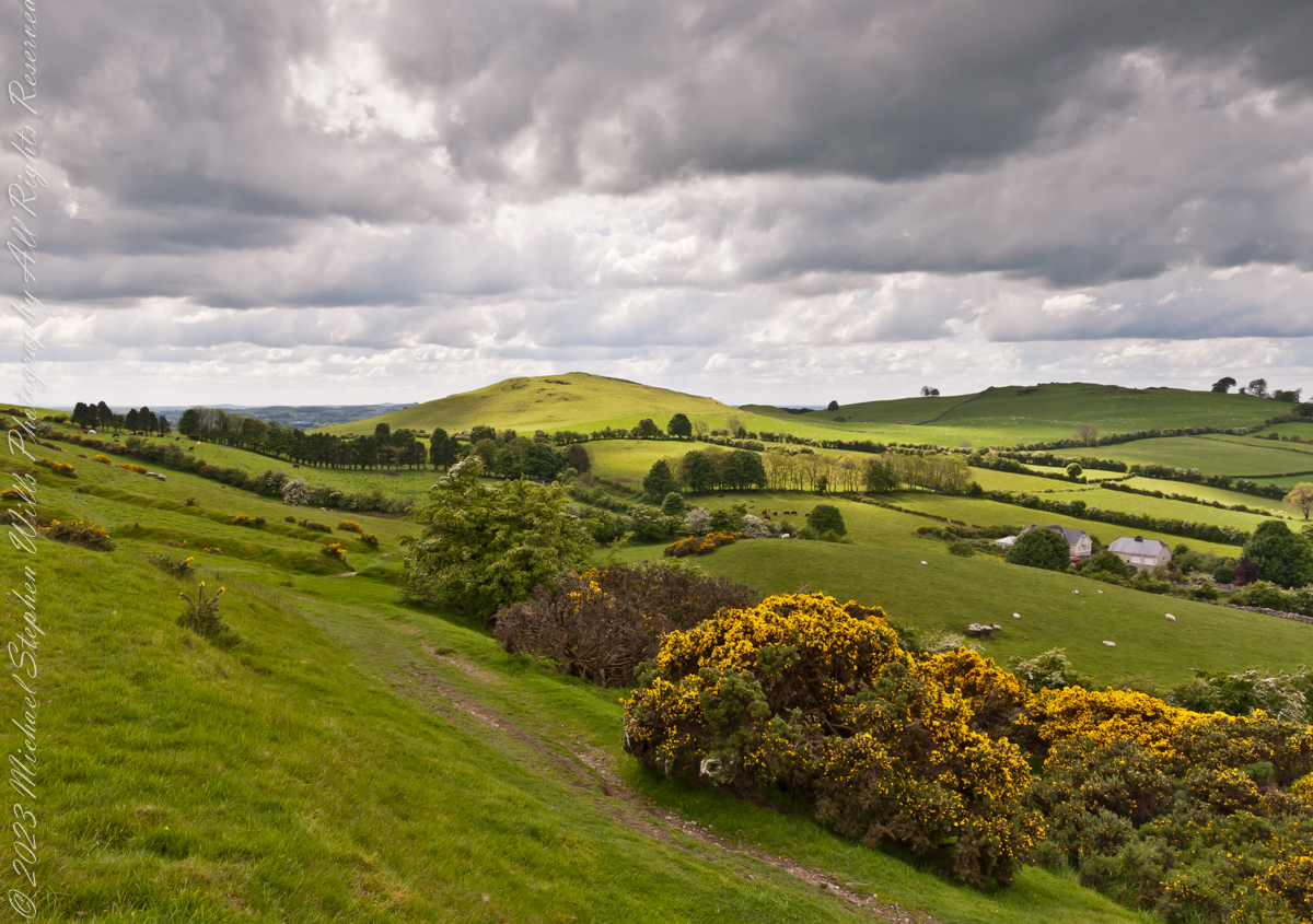
Here we are looking south, southwest from the north side of Slieve na Calliagh (aka Cairnbane East) toward Cairnbane West. Flowering yellow whin bush is in foreground, white flowering hawthorn trees in distance.
Cairnbane East hill is topped by a fine and accessible passage tomb, Cairn T.
Cairnbane East of the Loughcrew Cairns, known colloquially as “Hag’s Mountain,” nestled amidst the rolling hills of County Meath, Ireland, is a site of profound antiquity that beckons the curious traveler with its enigmatic charm. In this beguiling corner of the world, where history and folklore converge like two ethereal streams, the Loughcrew hills with their cairns rise, sentinels of a bygone age, each with its own tale to tell. But it is the myth of the witch, the “Hag of Loughcrew,” that lend a haunting aura to these ancient megalithic structures, invoking a world where magic and reality danced together in a mesmerizing waltz.
The Loughcrew Cairns
The Loughcrew Cairns, those hallowed remnants of an era long past, are monuments that defy the erosion of time. Constructed during the Neolithic period, they bear witness to the ingenuity of ancient minds and the profound spiritual significance these structures held. These tombs, hewn from the earth and stone, were not mere resting places for the departed, but sacred vessels of cosmic alignment, paying homage to the celestial dance of the heavens.
The Witch’s Role
One of the most enduring legends surrounding Hag’s Mountain is the story of a powerful witch who was said to have constructed the cairns. Cairn T includes a kerbstone known as “the hag’s chair.” According to folklore, this enigmatic figure, known as the “Hag of Loughcrew” or the “Cailleach,” commanded supernatural abilities and controlled the forces of nature. The Cailleach, which translates as ‘old woman’, ‘hag’, and ‘veiled one’, exists in both Irish and Scottish Gaelic, and is an expression of the hag or crone archetype found throughout world cultures. Related words include the Gaelic caileag and the Irish cailín (‘young woman, girl, colleen’), the diminutive of caile ‘woman’, and the Lowland Scots carline/carlin (‘old woman, witch’). The Cailleach is associated with winter, and it is believed that she uses her staff to create the winter snows. In some folk tales it is said that she carried massive stones from distant quarries to build the cairns, working tirelessly through the night and completing tasks that would have been impossible for ordinary mortals.
In these legends the Cailleach’s role in the construction of the cairns is believed to explain their precision and alignment with celestial events. The Cailleach used her magical powers to ensure that the cairns’ passageways perfectly aligned with the sun’s rays during the equinoxes, illuminating the inner chambers in a spectacular display of light and shadow.
Conclusion
Slieve na Calliagh weaves a tapestry where history’s threads intertwine with the shimmering strands of folklore. In its stony silence, it echoes the time when myths and reality were inseparable, when the land bore witness to the otherworldly. As we wander amidst the Loughcrew Cairns, gazing upon the ancient stones, we become travelers in a world where the mystical and the corporeal coalesce, and the stories of the witch endure as whispers in the wind, carried through the ages.
Copyright 2023 Michael Stephen Wills All Rights Reserved
On a May afternoon my dear wife, Pam, and I climbed to the summit of in Irish “Sliabh na Caillí” anglicized as “Slieve na Calliagh” translated to the english language as “Hag’s Mountain”, the site of 5000+ year old megalithic monuments. Here you are looking to the northeast with a collapsed tomb to the right foreground. In closeup is a curbstone, one of many laid side to side to form the outer tomb margin. In the middle distance is a hill with additional megalithic ruins, not visible.
Megalithic is an architectural style used throughout the world, between 6,000 and 4,000 years ago in the Neolithic and Bronze Ages. Megalithic ruins are scattered throughout the island and County Meath is especially noted for them.
We stand in Corstown townland, the townlands of Ballinvally is to your left, ahead and to the right is Patrickstown, all in County Meath, Ireland.
Copyright 2023 Michael Stephen Wills All Rights Reserved