Inchintaglin is the townland name, the land is two mountains, the near ending with the above ridge, in the northeast. When the road breaches below the ridge the land beyond opens up.
Copyright 2021 Michael Stephen Wills All Rights Reserved
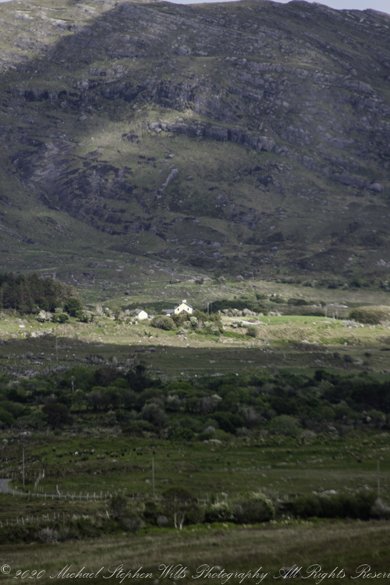
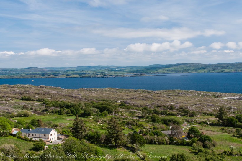
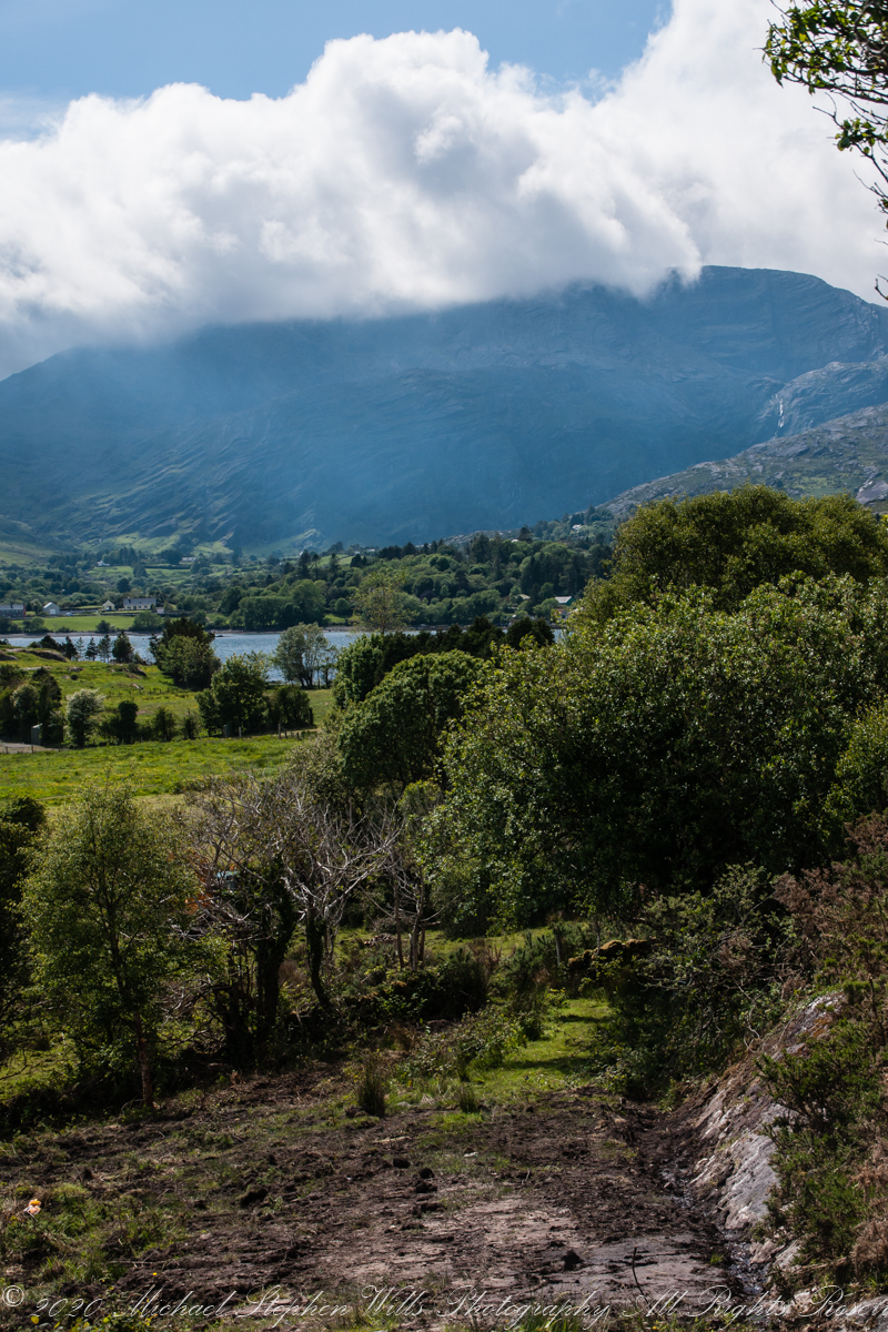
Healy Pass, R574, ascends along lower slopes of Adrigole Mountain (AKA Hunger Hill). We passed several roads descending to this valley, providing access to farms. Four townlands are in view, the Irish language name in parenthesis: Kilcaskan (Cill Chascann), Dromgarvan (Drom Garbhain), Canshanavoe (Ceann Seanbhoith), and Inchintaglin (Inse an tSeaglainn), where I stand.
O’Sullivan is the most common surname of Beara Peninsula. Here is a biography of one O’Sullivan born Inchintaglin townland (you’ll need to read Irish or translate the page): O’SÚILLEABHÁIN, Francis (1889–1956).
Copyright 2021 Michael Stephen Wills All Rights Reserved
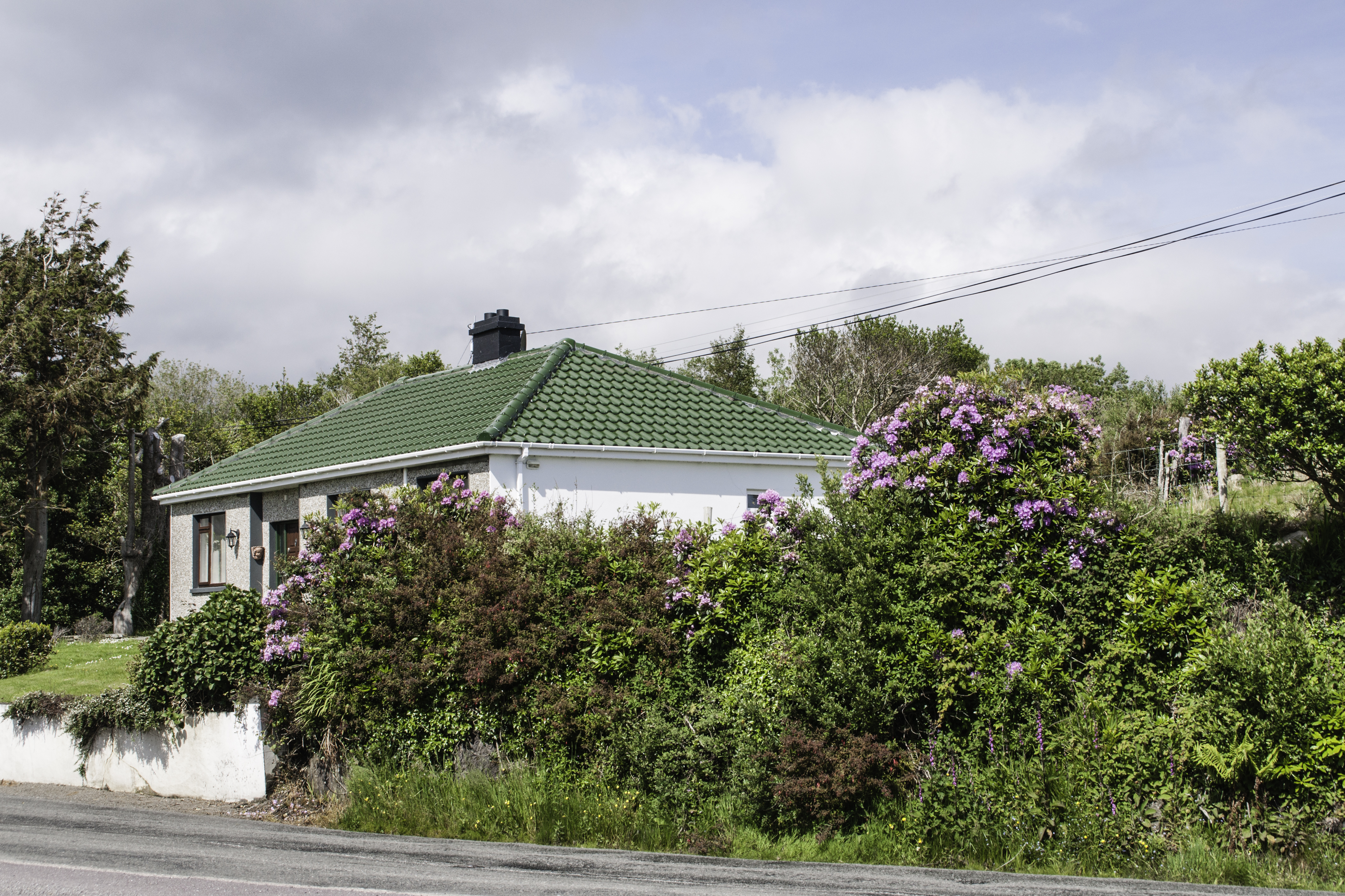
Continuing from yesterday’s post, on R572, before turning onto Healy Pass (R574) at Adrigole we stopped to take in this fine rhododendron bank. The massed bloom and color struck us. Happily, after there rhododendron became common.
Later, we were told the plant was considered invasive and needed control.
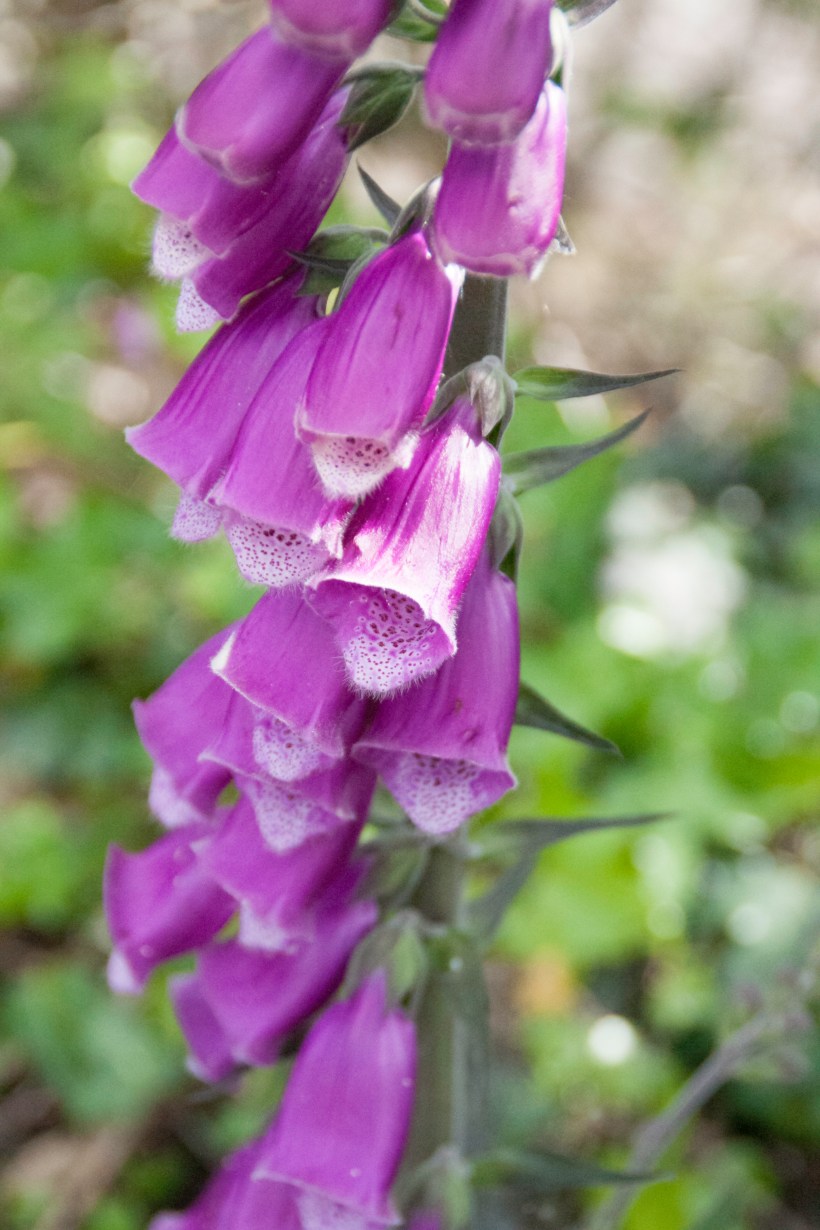
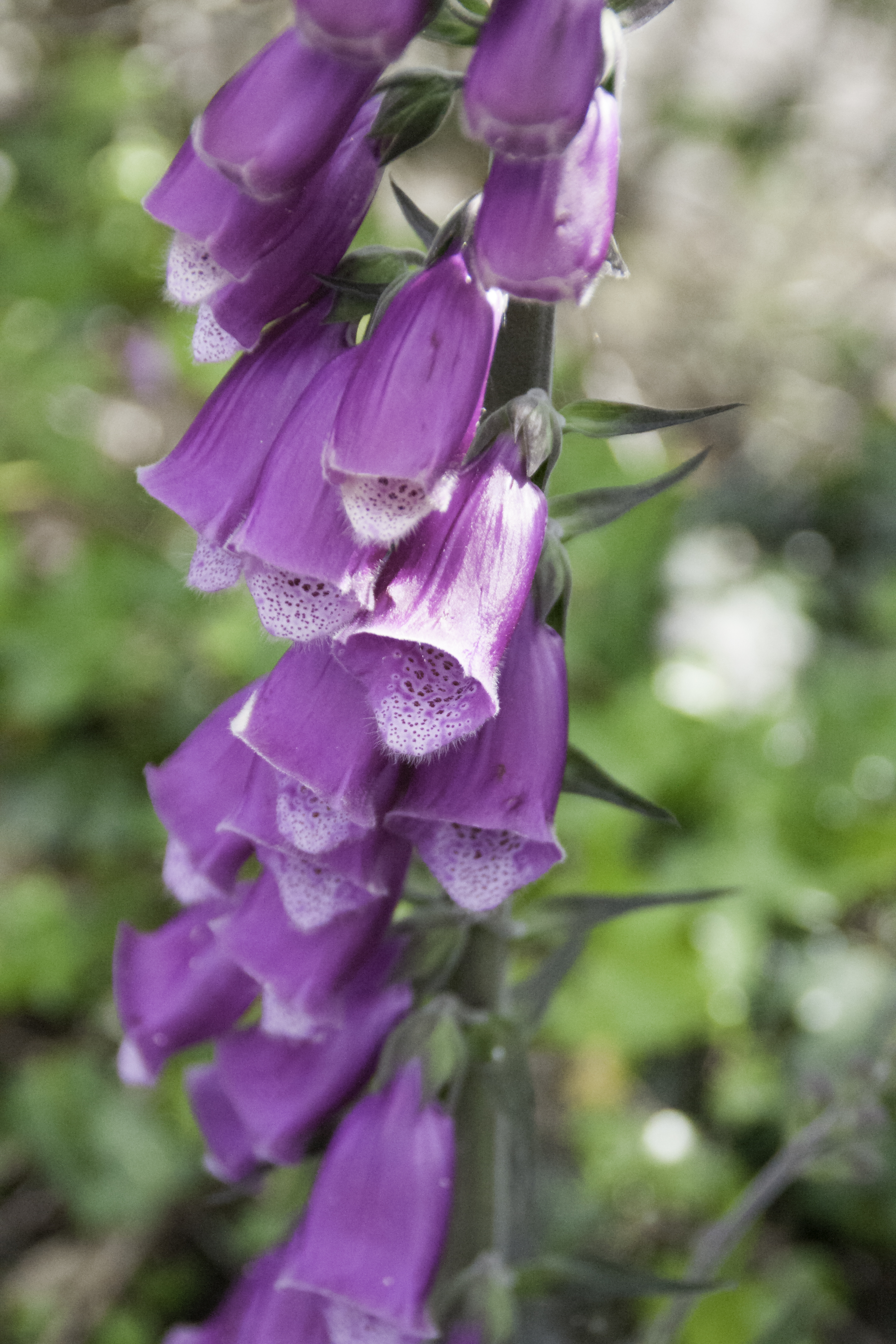
I turned around and foxglove was right there.
Copyright 2021 Michael Stephen Wills All Rights Reserved
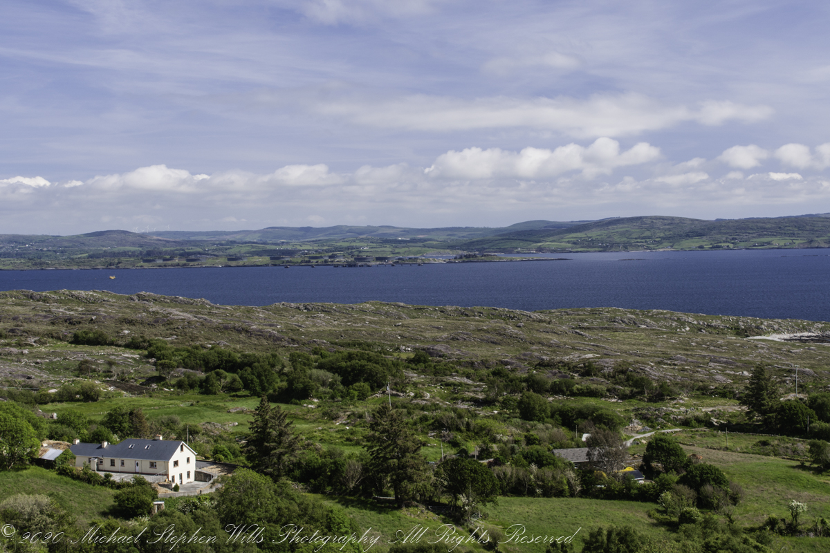
Our introduction to Beara peninsula was a turn onto R572, Sugarloaf Road, from Glenarriff, drive a few minutes to encounter this view view. So stupendous, we parked on a convenient turnoff. The Irish name for the townland is Thrá Chaisil, Tracashel in English. The meaning is “Strand of the Stone Fort.” A prosaic name is “Stone Fort Beach.” Here we look across Bantry Bay,
The location, lost for years, was rediscovered from this photograph. A signed place name. An unmapped place name, surprisingly.
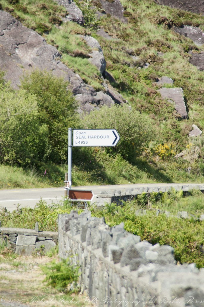
Using date/time stamps, working backward from the Adrigole photograph of yesterday’s post, I used the Google Maps to navigate the route from Glenarriff to find the sign post and turnoff. The harbor in question (“Cuan” is Irish for bay) is named for the adjacent townland, Coolieragh, “An Chúil Iarthach” in Irish, translated as “Western Nook.”
The non-existant “Seal Harbor” is a hopeful renaming by some entrepreneur.
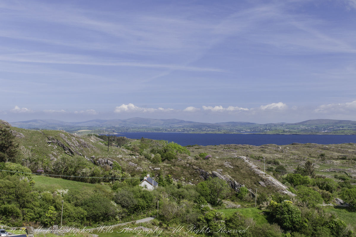
Another view across Bantry Bay.
Copyright 2021 Michael Stephen Wills All Rights Reserved
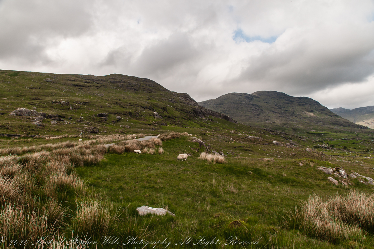
Driving the Beara Peninsula of western County Cork Pam and I were lucky enough to encounter a famine road traversing the Healy Pass. Formerly known as Kerry Pass, renamed in honor of Timothy Michael Healy, the first Governor-General, Irish Free State when the road was improved in 1932 shortly after his death. In Irish the name is Bealach Scairte.
Built by workers from the starving poor during the Potato Famine of the 19th century, one of the government projects to provide relief and improve infrastructure. This photograph is from where Healy Pass, R574, begins from the town Adrigole, County Cork. The mountain is the highest of the Caha Mountains of the Beara peninsula, is known by several names: “Adrigole Mountain,” “Hungry Hill,” “Cnoc Daod,” “Knockday,”j and “Knockdhead.” “Hungry Hill” is also a 1943 novel by Daphne du Maurier, thought to be set on the Beara peninsula.
The water is the Adrigole River.
References
Wikipedia articles for “Timothy Michael Healy” and “Healy Pass.”
Copyright 2021 Michael Stephen Wills All Rights Reserved
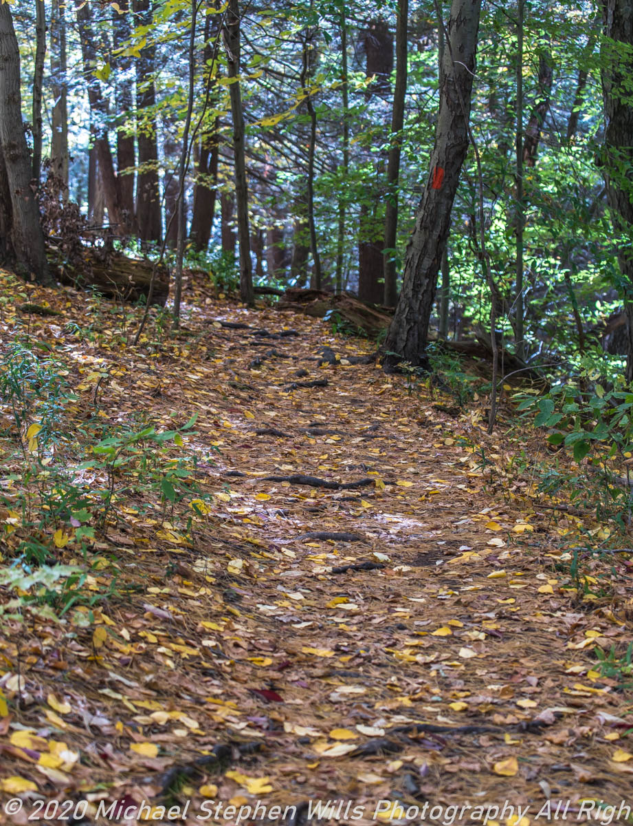
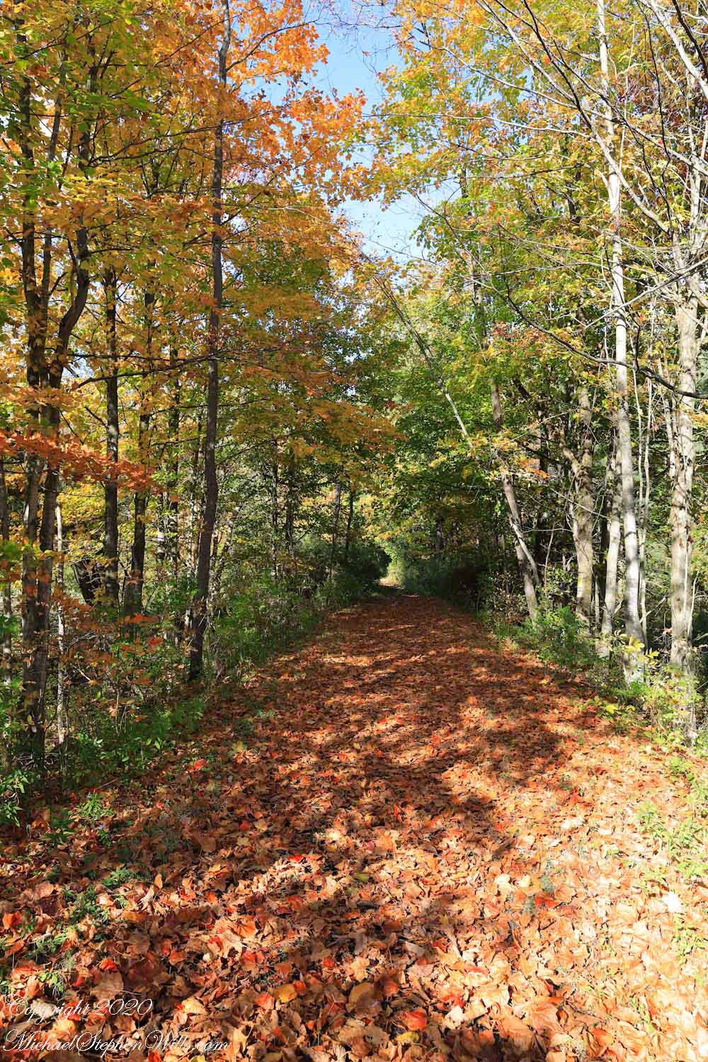
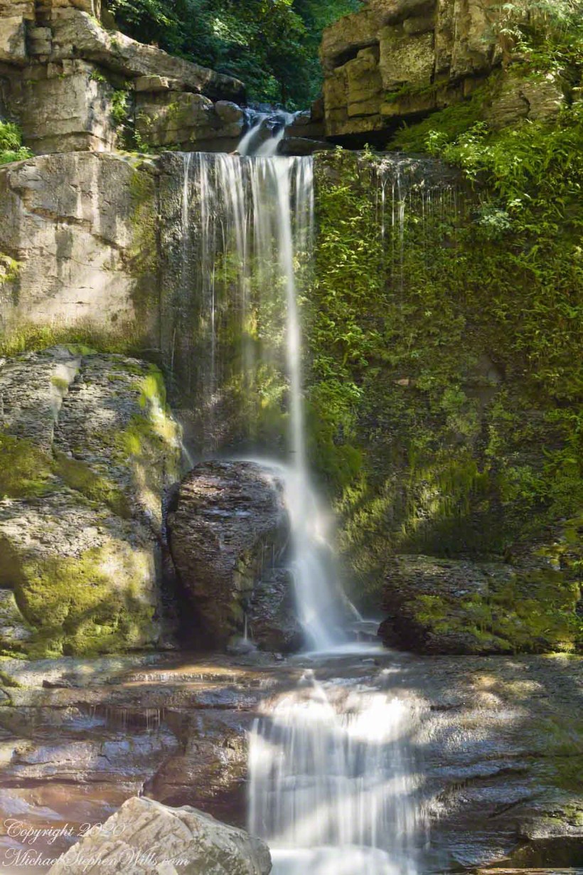
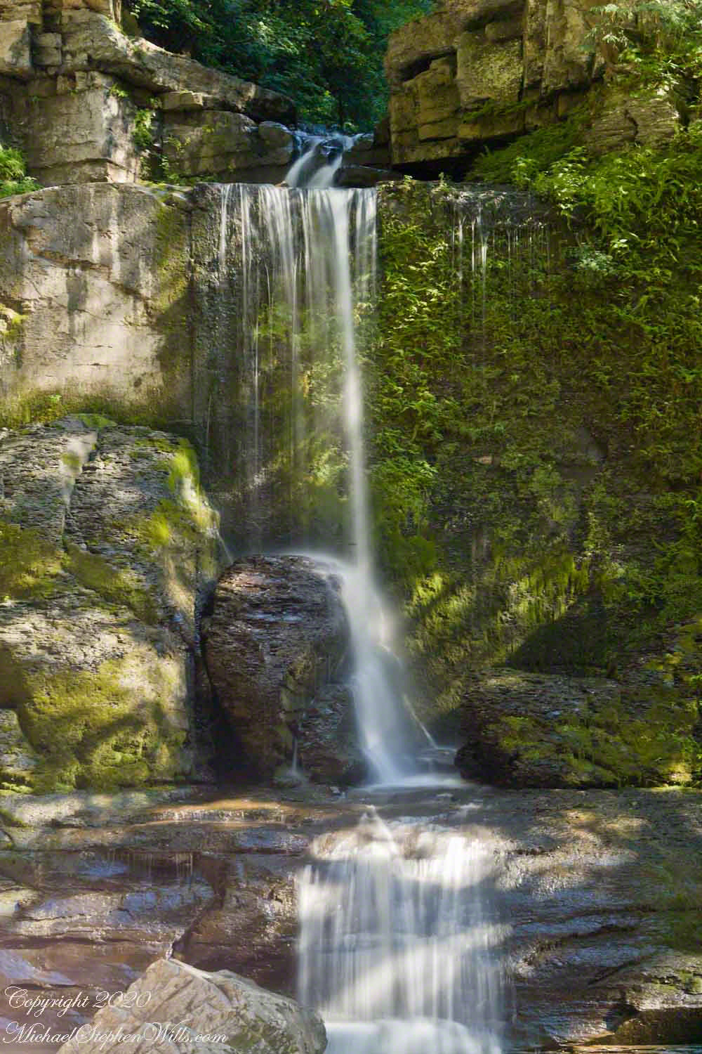
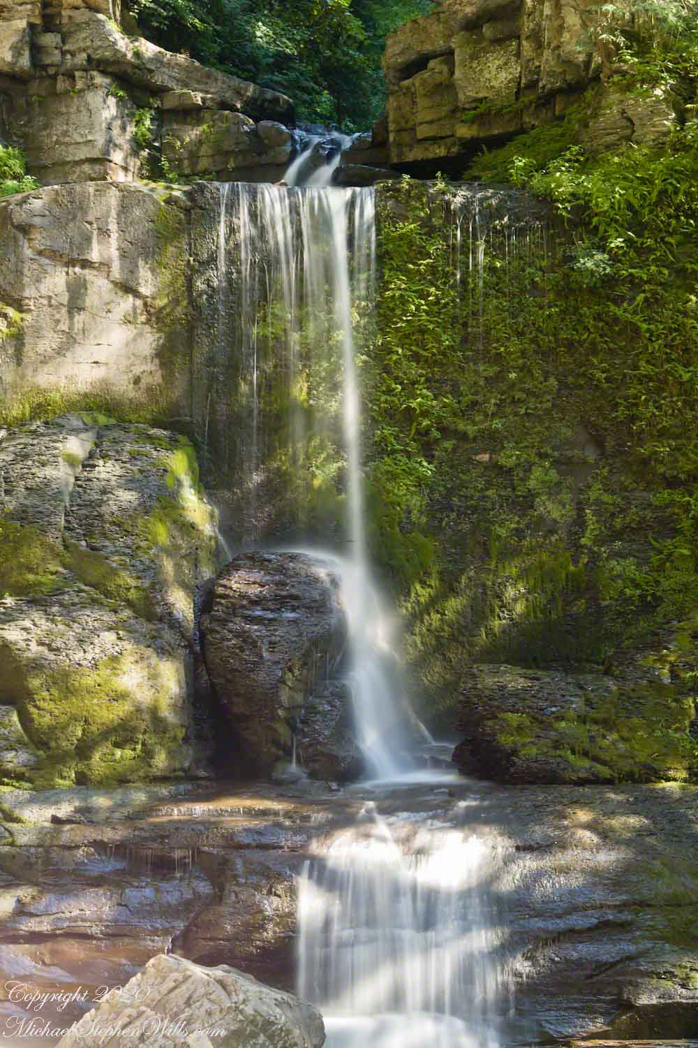
Sandbank Road climbs from the valley of Ithaca city to the rural peneplain on the way to Buttermilk Falls, we passed the sign for this preserve many times, today we explored this place, new to us. The trail descends to Lick Creek canyon.
Click photograph for larger view. Use combination keys to enlarge/reduce: Ctrl+ (Control / Plus) and Ctrl- (Control / Minus)
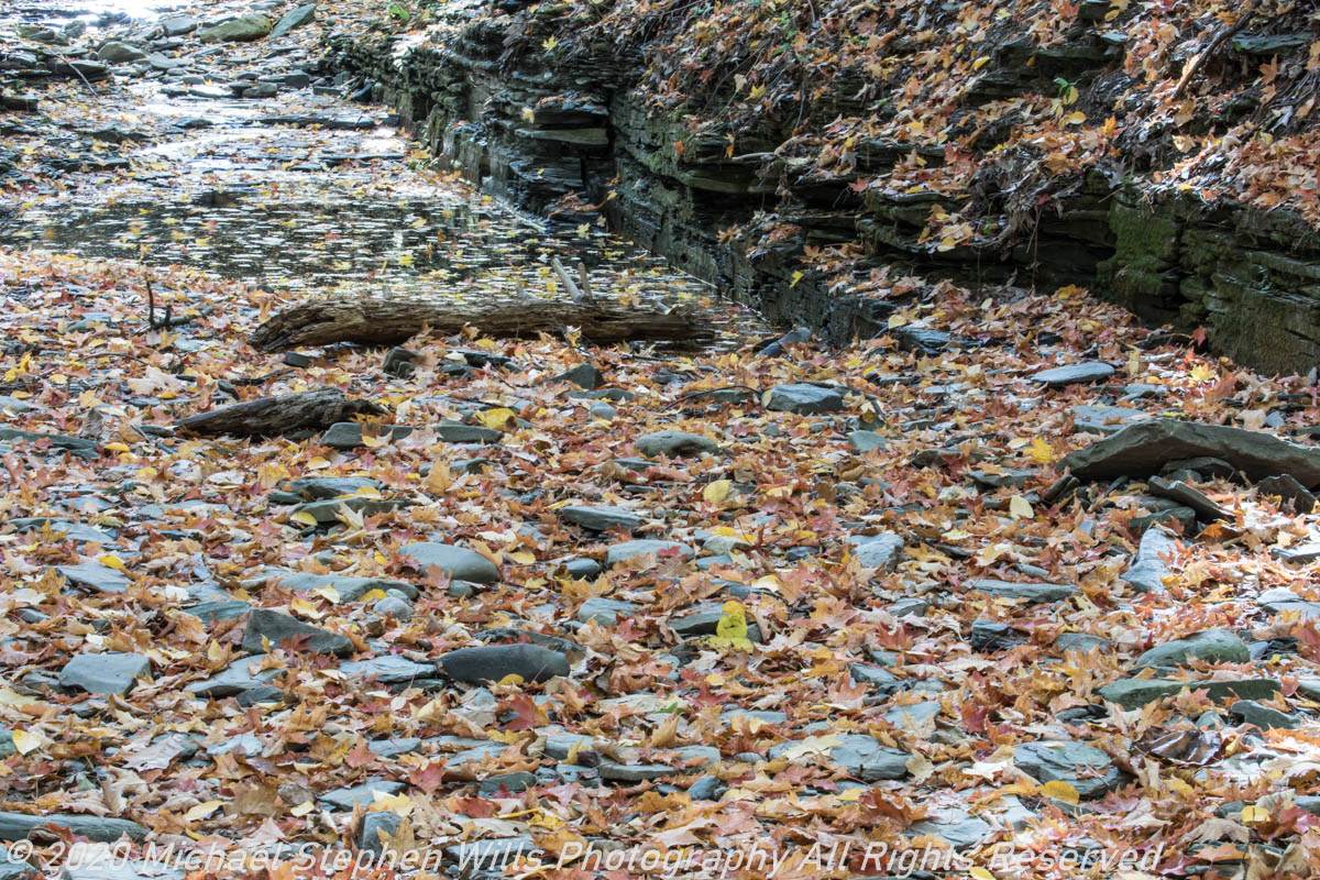
We stopped to enjoy the open space of a powerline clear cut where the trail intersects the creek bed. Here we turned, following the water.
Tom Knight, “has been delighting children and their grown-ups with his original, interactive, musical puppet show since 1988,” in 2018 Pam, myself and the grandchildren were lucky enough to catch his act at Cornell University Johnson Museum. His CD, “Purple Pumpkin Pie” is in the car and, pre-Covid, I’d play it in the car while riding with the grandchildren.
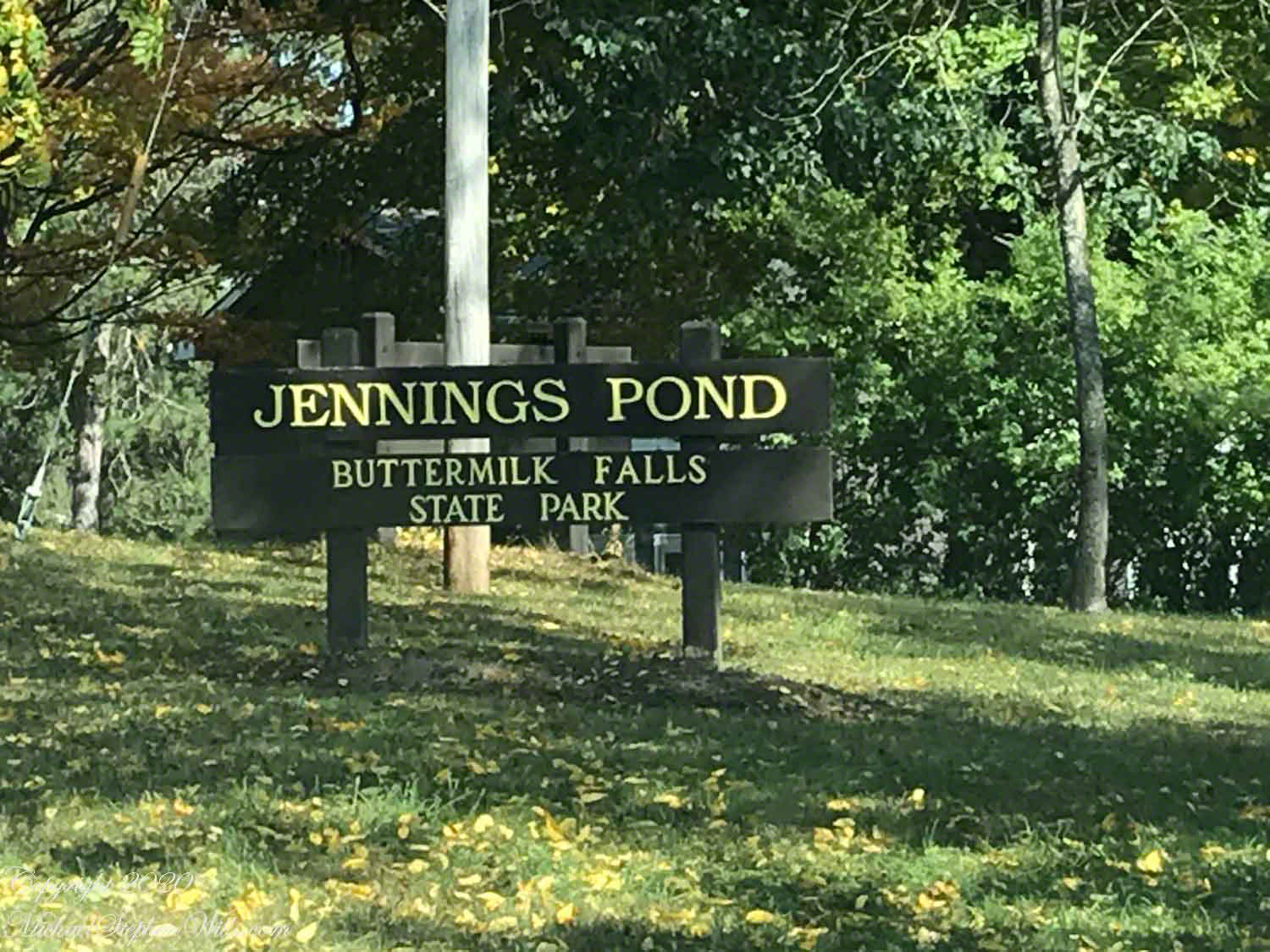
“Jennings Pond,” a song on that CD, mentions a local town, Danby. Until last week I did not think twice about it. Driving into Ithaca, heading north on Route 13, there’s a compelling view down a valley. I’ve taken exploratory drives down there on the West Danby-Spencer road, seeing what there is to see. A week ago last Sunday, turning left at West Danby, up the hill forming the east valley wall, on Station Road, then Bald Hill Road, passing by the Finger Lakes Trail through Danby State Forest, on the right I spied a compelling open area, a pond, and this sign….
I proceeded onto a footbridge over the pond outlet, the source for Buttermilk Creek,…….
…and continued to a footpath, southeast and away from the pond. Toward the Finger Lakes Trail? I left this adventure for another day.
Copyright 2020 Michael Stephen Wills All Rights Reserved
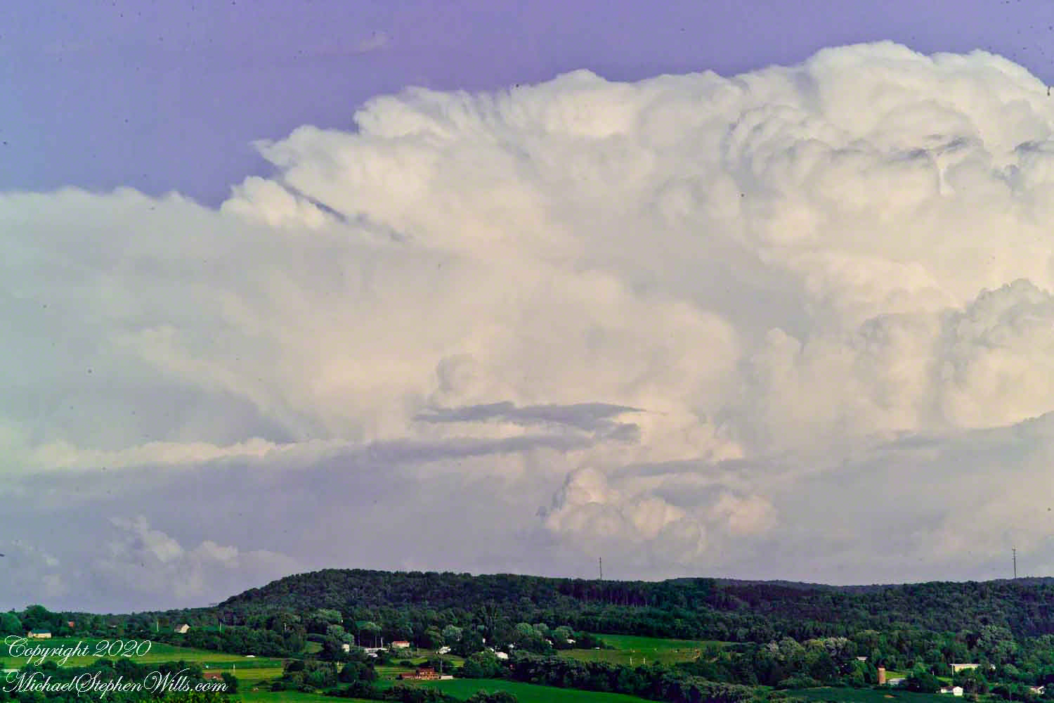
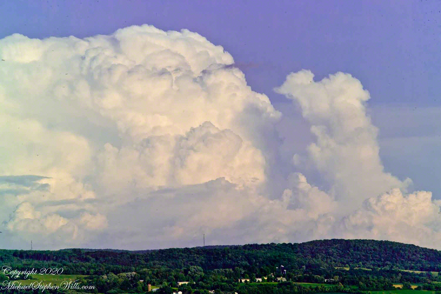
Travel to Fillmore Glen from our former home included a climb to an overlook of the Fall Creek valley, seen here on a summer afternoon in four parts.
Three exposures using a 50 mm Canon lens on a Kodak dslr. A tripod allowed me good orientation and, later, to use the Photoshop photoMerge feature to combine exposures into a panorama. At that time, I was limited to the 50 mm lens.
Copyright 2020 Michael Stephen Wills All Rights Reserved