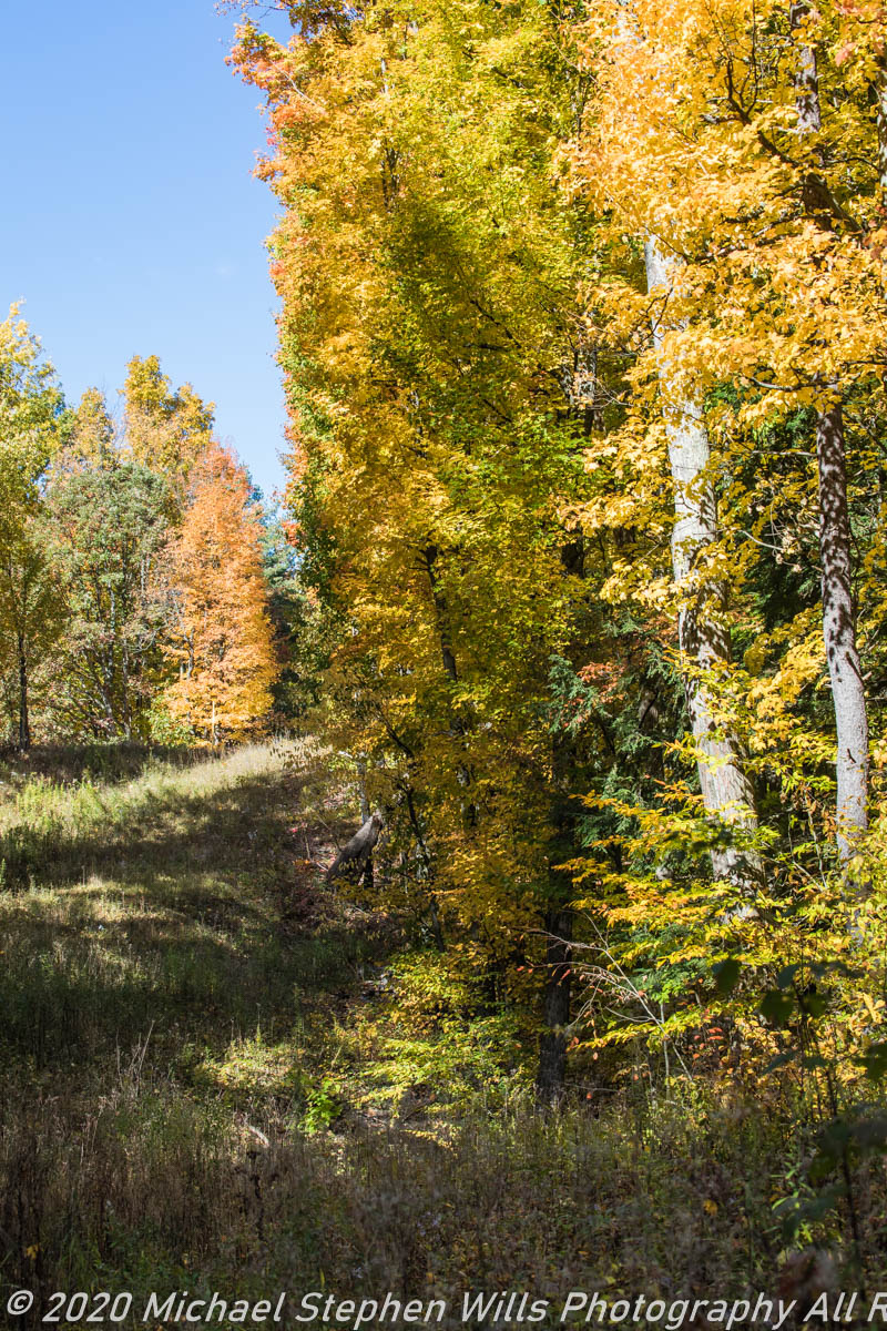
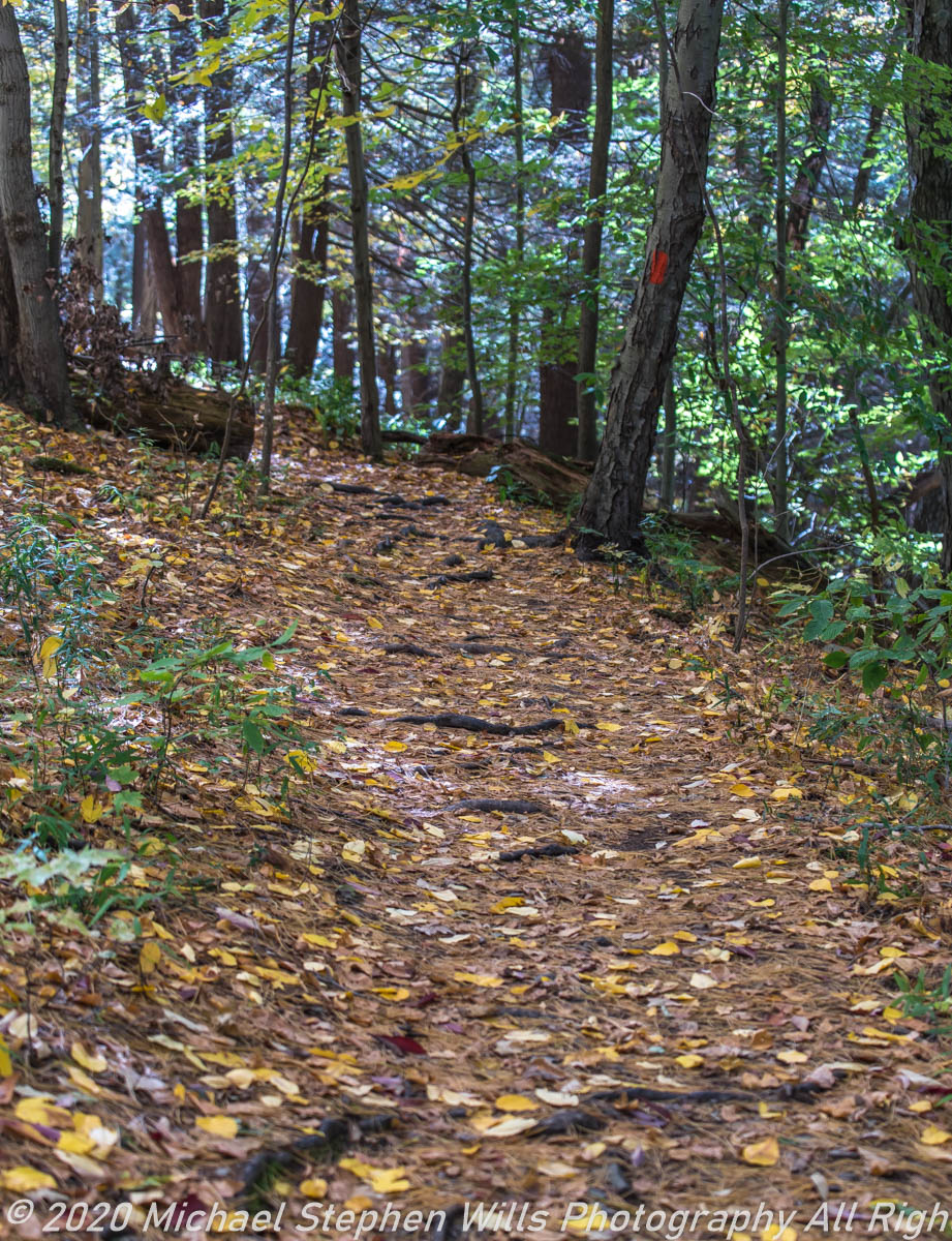
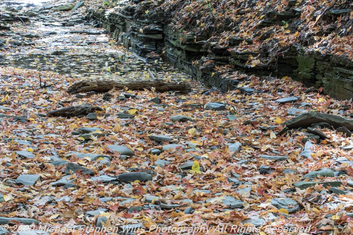
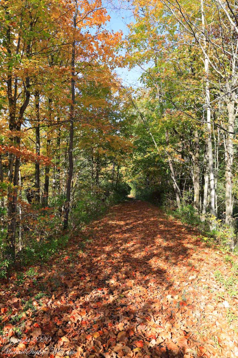
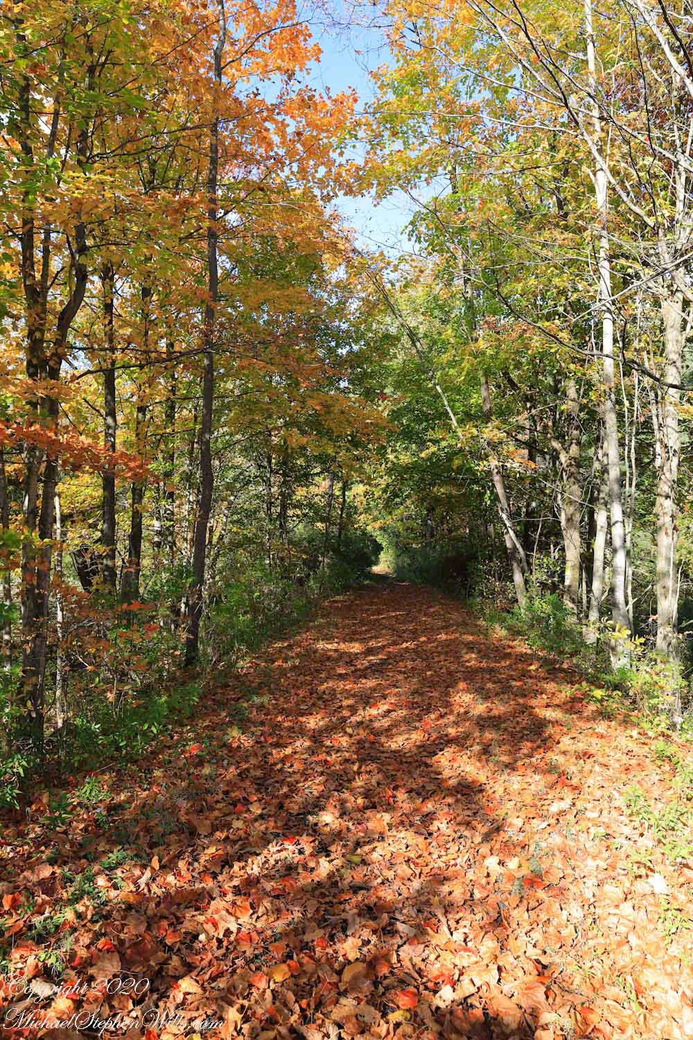
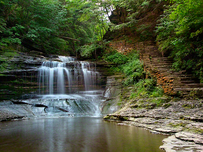
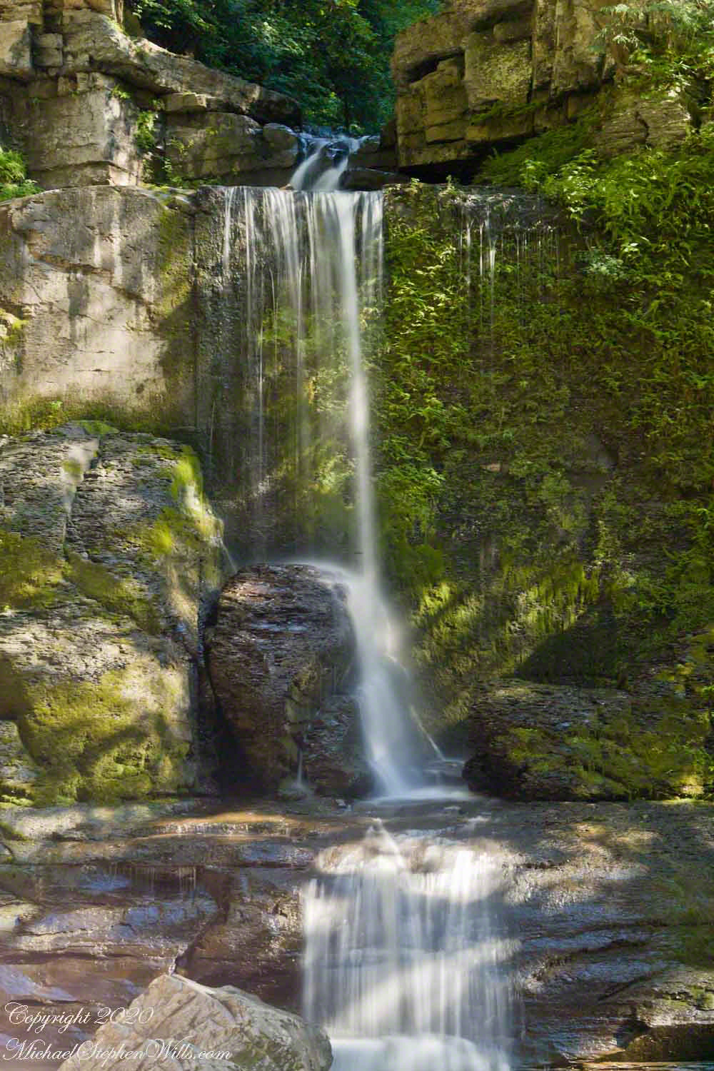
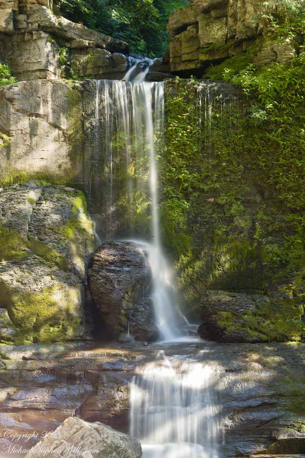
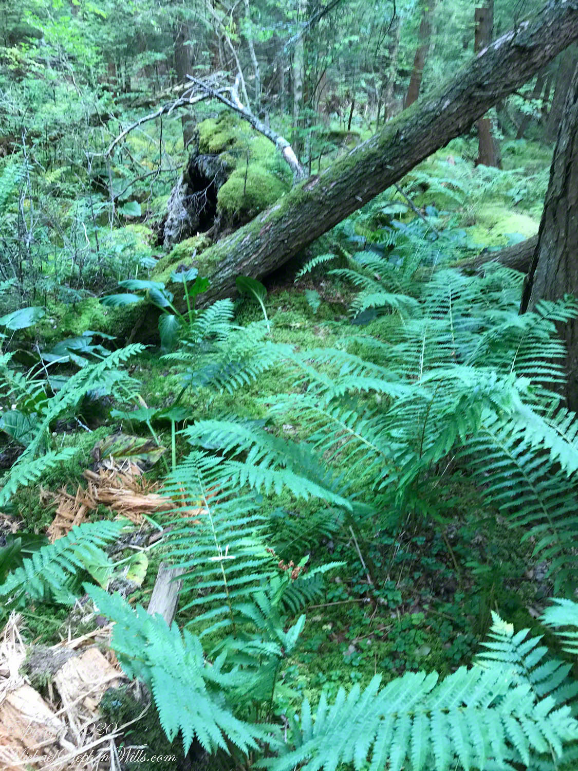
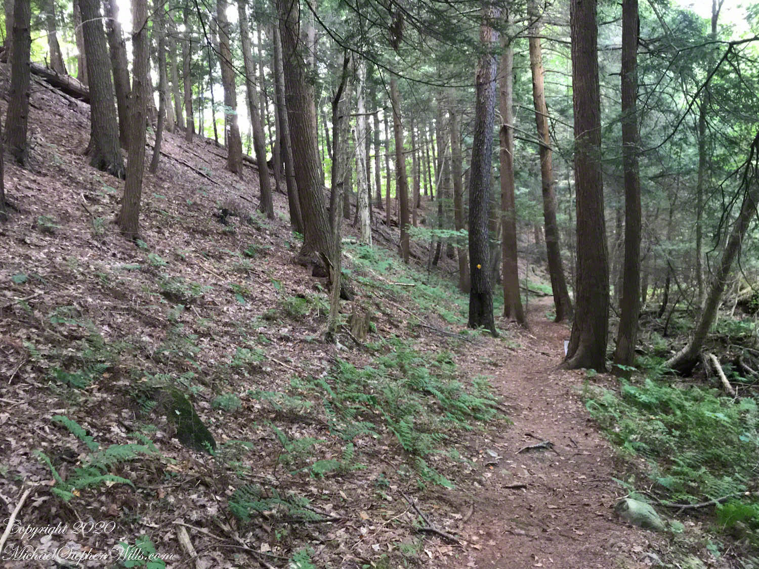
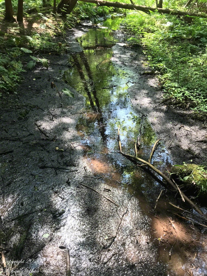
Sandbank Road climbs from the valley of Ithaca city to the rural peneplain on the way to Buttermilk Falls, we passed the sign for this preserve many times, today we explored this place, new to us. The trail descends to Lick Creek canyon.
Click photograph for larger view. Use combination keys to enlarge/reduce: Ctrl+ (Control / Plus) and Ctrl- (Control / Minus)
We stopped to enjoy the open space of a powerline clear cut where the trail intersects the creek bed. Here we turned, following the water.
Tom Knight, “has been delighting children and their grown-ups with his original, interactive, musical puppet show since 1988,” in 2018 Pam, myself and the grandchildren were lucky enough to catch his act at Cornell University Johnson Museum. His CD, “Purple Pumpkin Pie” is in the car and, pre-Covid, I’d play it in the car while riding with the grandchildren.
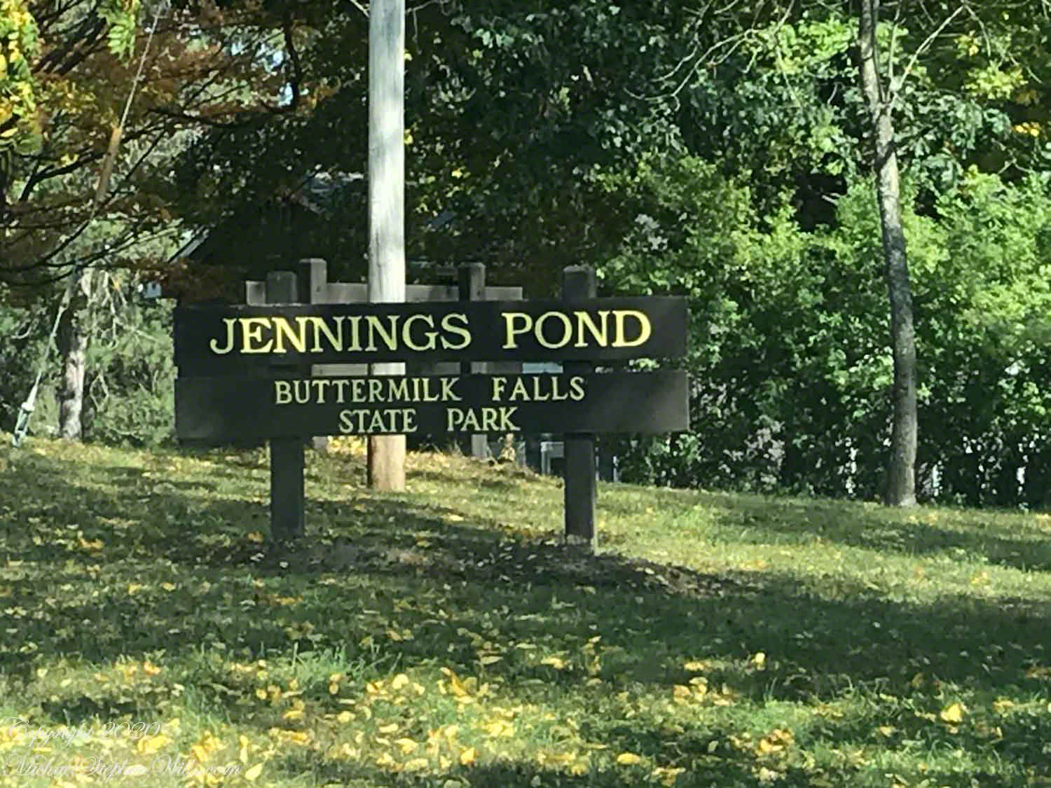
“Jennings Pond,” a song on that CD, mentions a local town, Danby. Until last week I did not think twice about it. Driving into Ithaca, heading north on Route 13, there’s a compelling view down a valley. I’ve taken exploratory drives down there on the West Danby-Spencer road, seeing what there is to see. A week ago last Sunday, turning left at West Danby, up the hill forming the east valley wall, on Station Road, then Bald Hill Road, passing by the Finger Lakes Trail through Danby State Forest, on the right I spied a compelling open area, a pond, and this sign….
I proceeded onto a footbridge over the pond outlet, the source for Buttermilk Creek,…….
…and continued to a footpath, southeast and away from the pond. Toward the Finger Lakes Trail? I left this adventure for another day.
Copyright 2020 Michael Stephen Wills All Rights Reserved
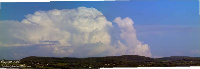
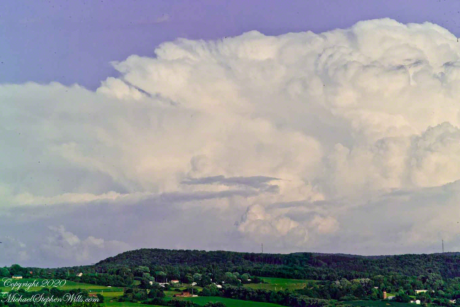
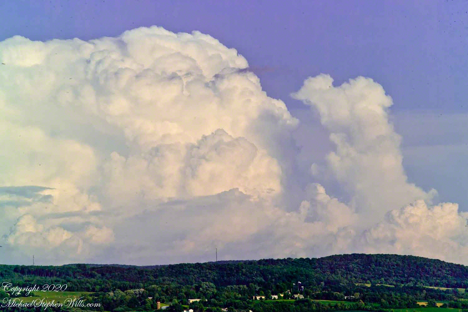
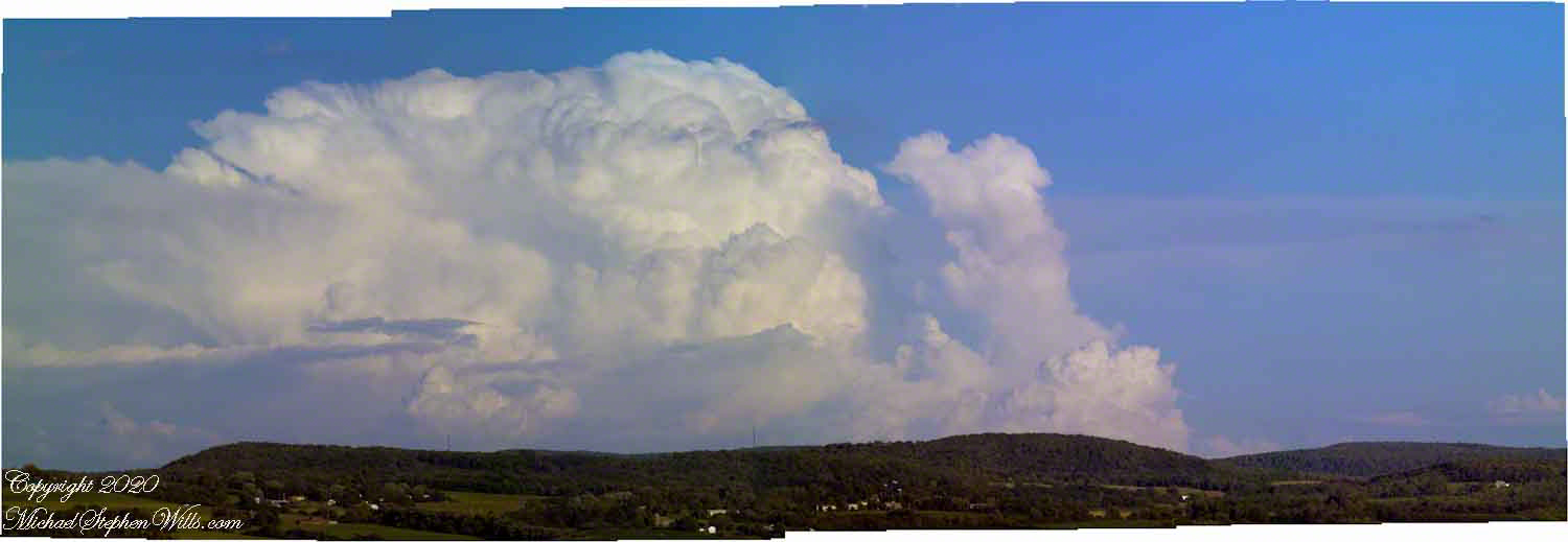
Travel to Fillmore Glen from our former home included a climb to an overlook of the Fall Creek valley, seen here on a summer afternoon in four parts.
Three exposures using a 50 mm Canon lens on a Kodak dslr. A tripod allowed me good orientation and, later, to use the Photoshop photoMerge feature to combine exposures into a panorama. At that time, I was limited to the 50 mm lens.
Copyright 2020 Michael Stephen Wills All Rights Reserved
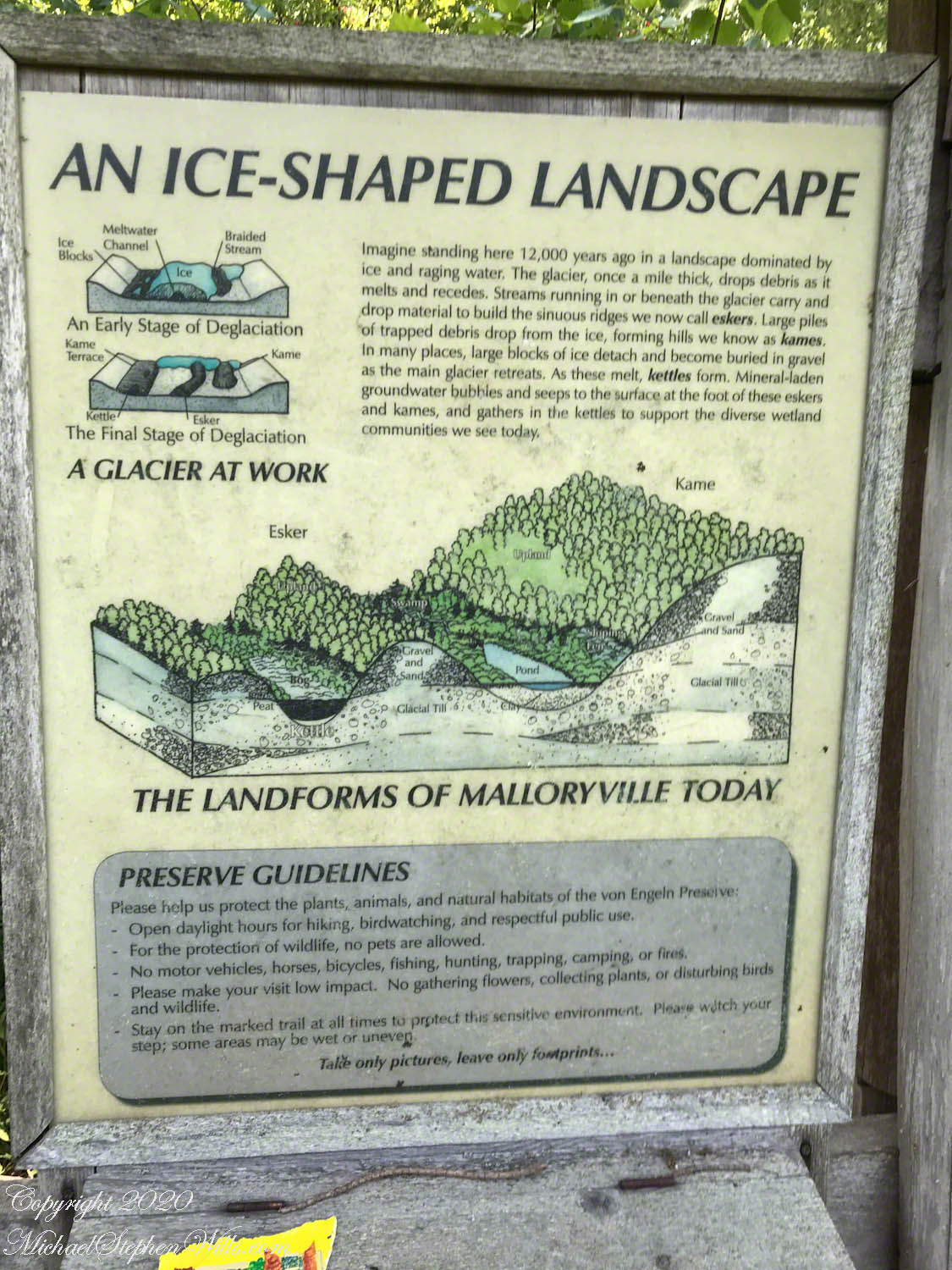
Hard on the defunct gravel pit of the northwest side of the preserve is the deposit of glacial rocks washed to some extent by melting ice the former owners of the pit were turning over for profit with the averted result of destroying the water sources for the ecosystems of the future preserve.
The deposit is called a kame. Kames are the obverse of kettles, formed with an enormous remnant of glacial ice melts in place leaving a substantial depression. A kame is formed when earth gathers in a depression formed by meltwater running over a glacial surface. When the glacier melts (in this area the ice wash a mile high), the washed earth is left as a steeply sided pile we experience as a hill.
Water flowing beneath glaciers forms the long, ridged hills, eskers, we explored in yesterday’s post.
Well formed, sinuous, graded on both sides, eskers can be mistaken for man-made earthen structures, such as railroad embankments. Here is an example, nine-tenths (0.9) of a mile long substantial enough to direct the flow of Fall Creek. On entering the Malloryville esker bed the stream makes a right angle turn.
Here we are at the foot of the primary esker of Malloryville Preserve (it is marked as such on the information placard of this series first post). The slope to the right is the esker. A swamp lies to the right.
This video provides a better feeling for this esker.
Two kettles of the preserve represent a pond and, below, a bog. Here is a photograph from the observation platform using the IPhone 7. I brought along the Canon dslr and 100 mm “macro” lens for the stars of this show…..
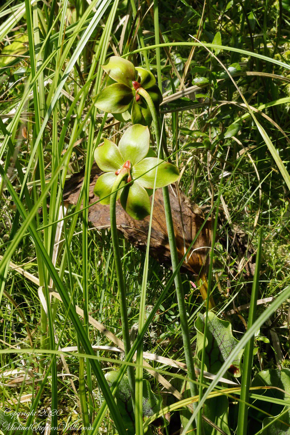
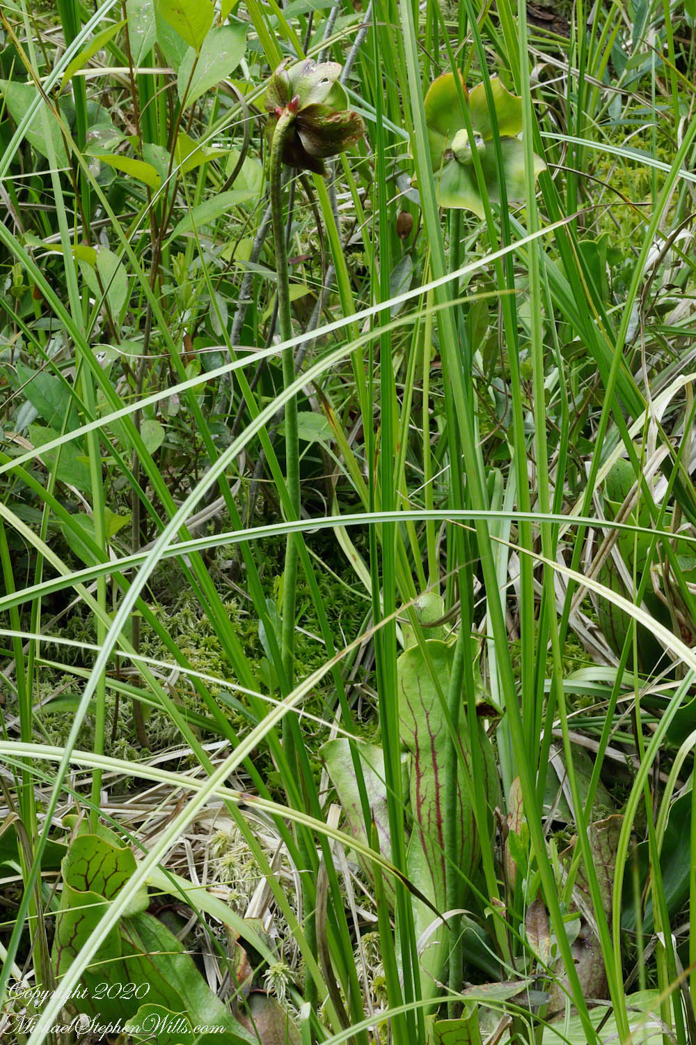
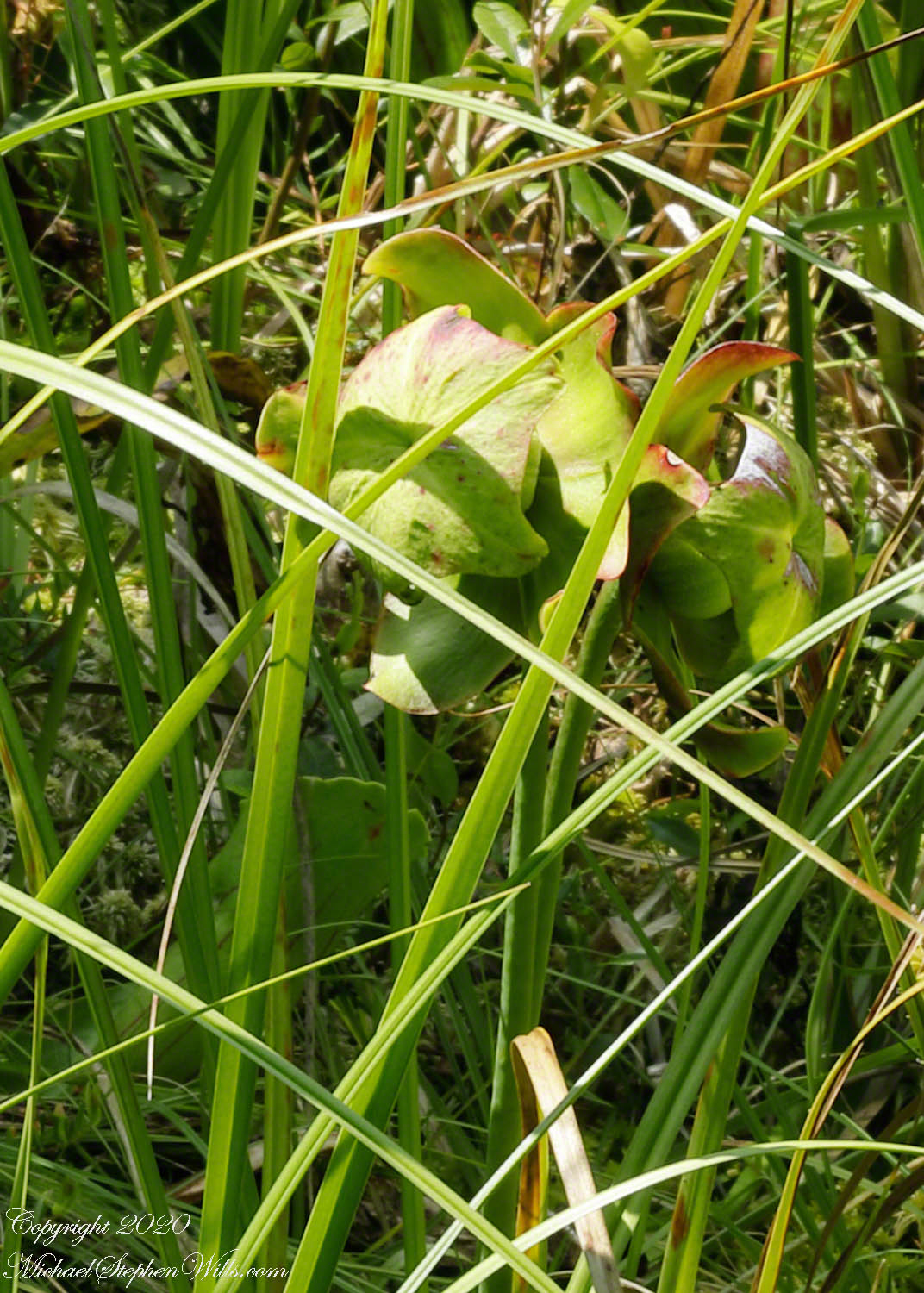
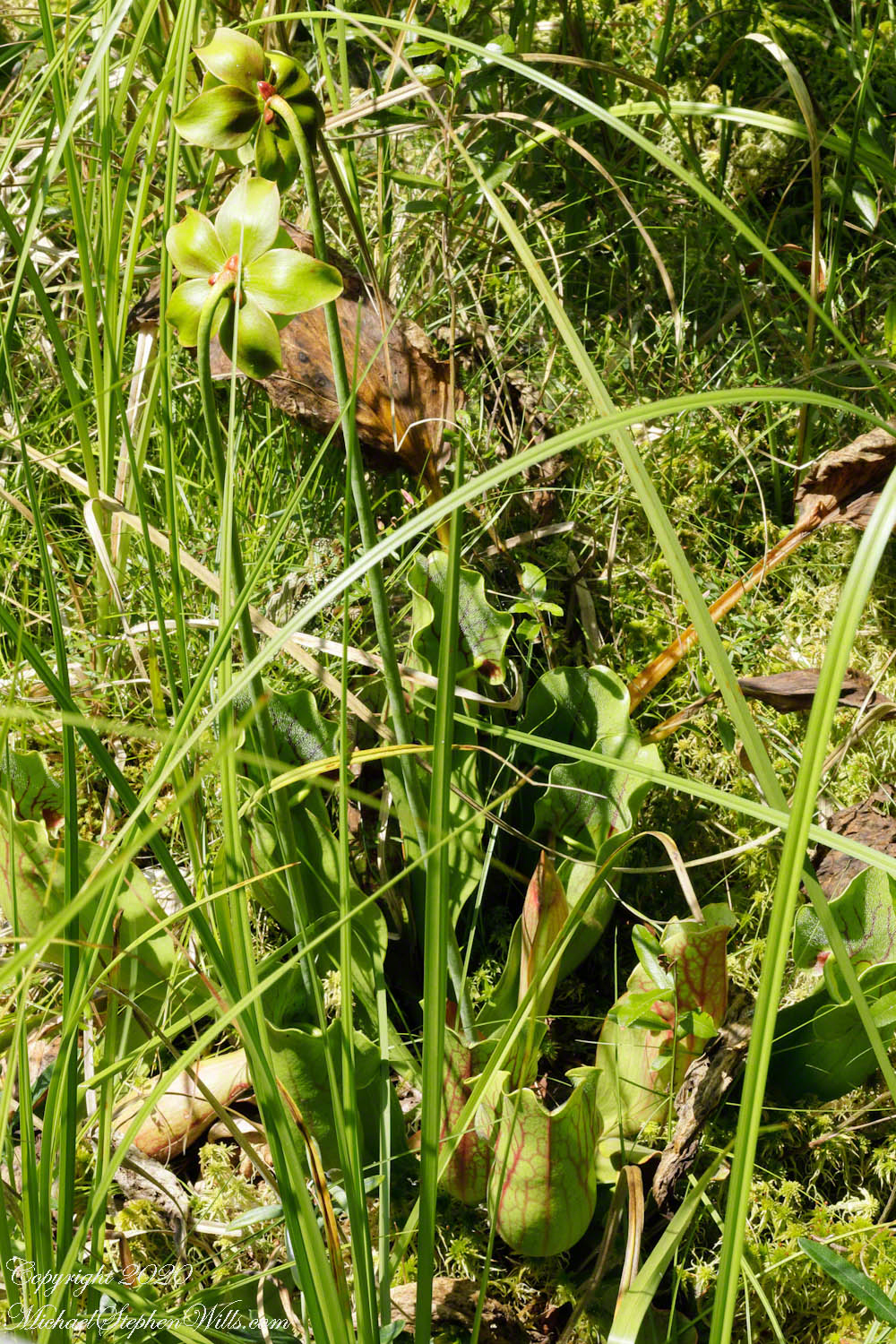
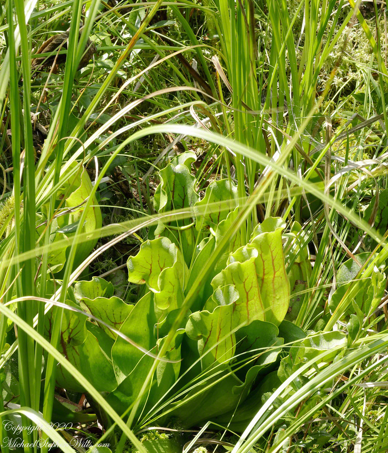
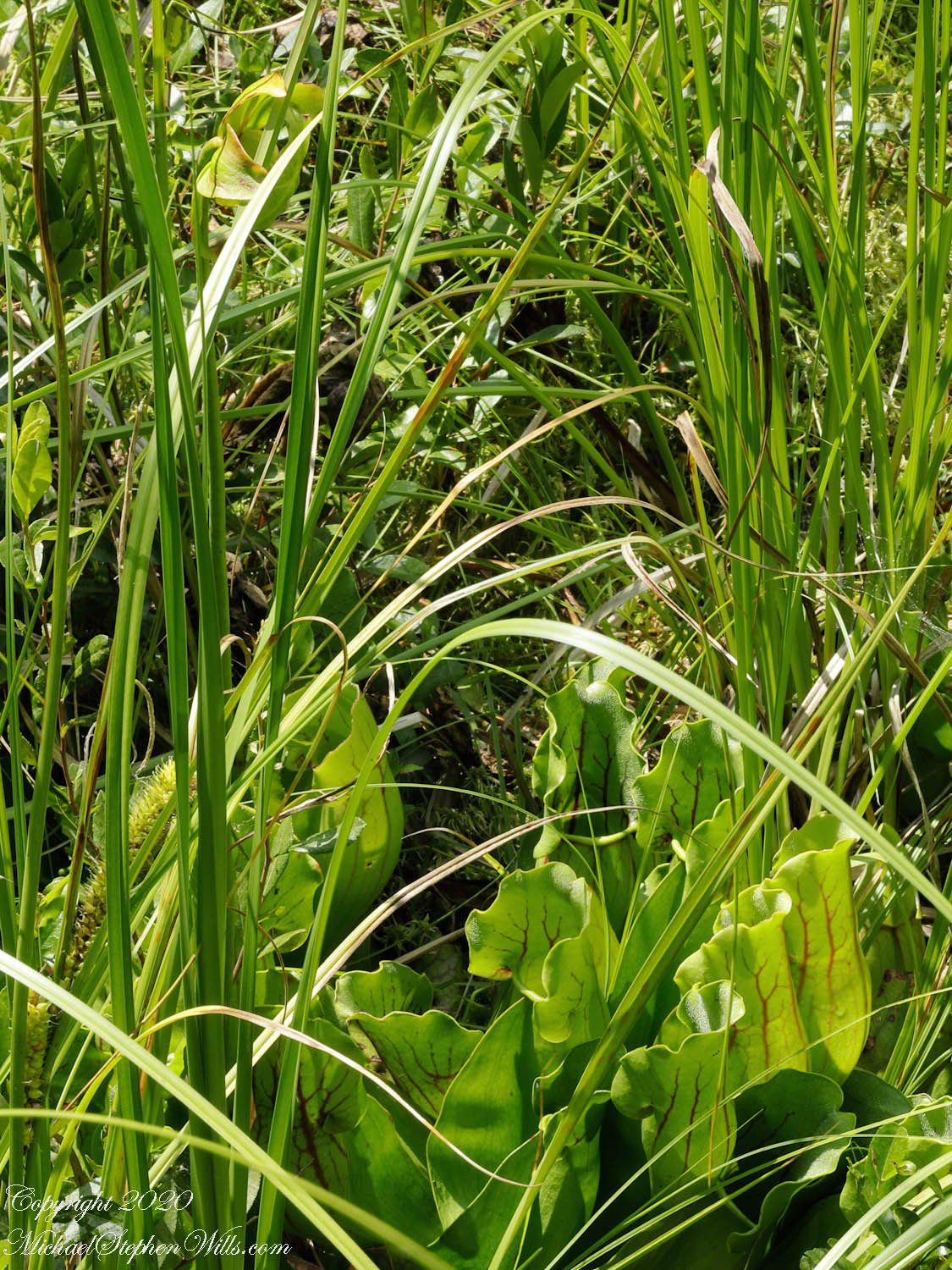
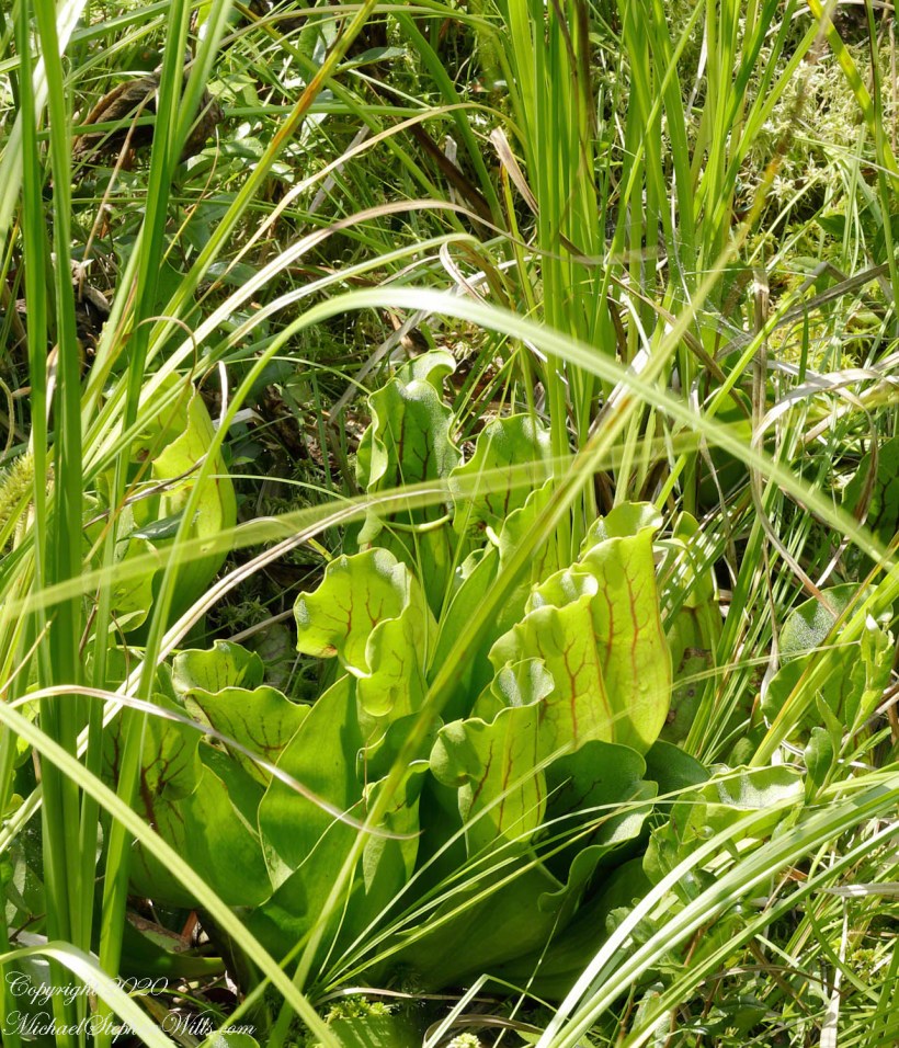
….purple pitcher plants (scientific name: Sarracenia purpurea). In past years, the central observation deck cut-out, hosted healthy pitchers. Today, invading high bush blueberries from the bog margin, crowded out the pitchers and the only flowering plant were among the grasses 8 to 10 feet away. My goal was photographing the extraordinary flowers.
Each flower rises from the base on a strong stalk. Here are the pitchers, also called “turtle socks”, flooded with sunlight.
A flower unlike any I have experienced, like the carapace of an insect, the reproductive element underneath a hood.
The posterior, there are only bracts.
I have, somewhere, macro images of the pitcher, with the downward facing hairs. Brought the wrong lens to capture this at a distance.
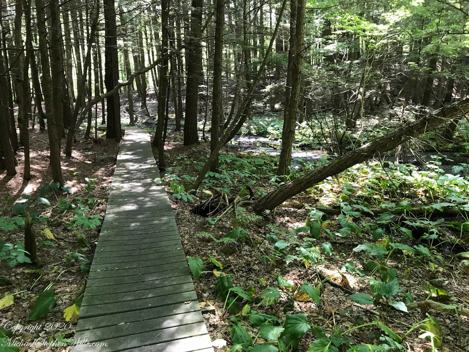
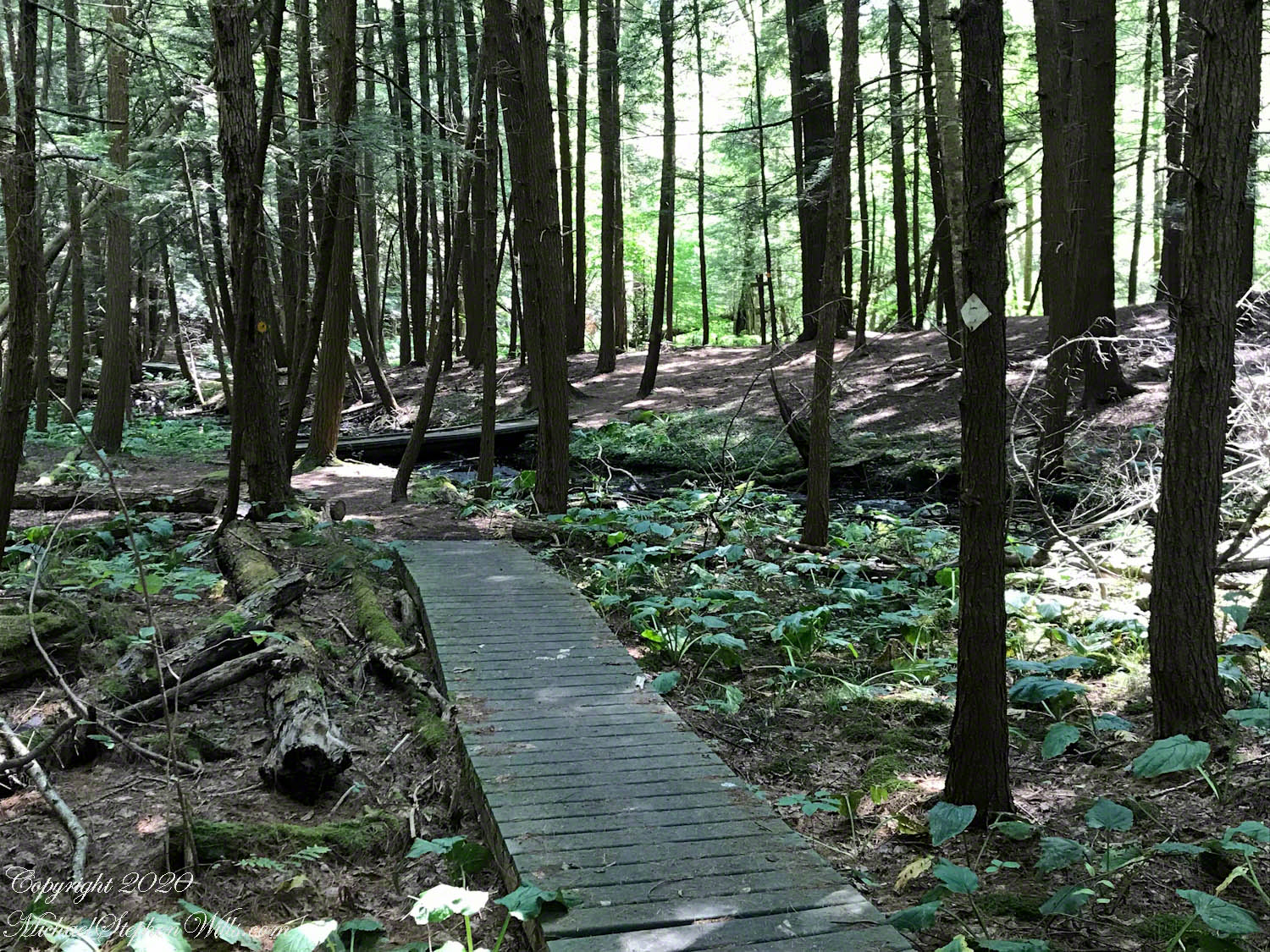
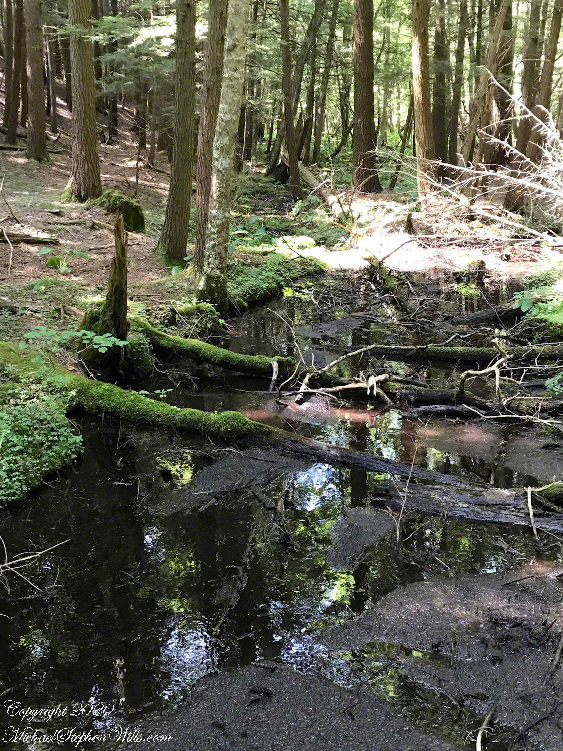
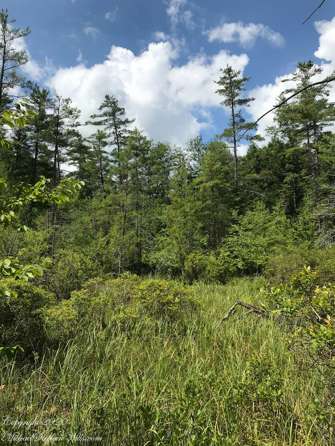
Amazingly swamp, fen, bog, marsh can all be experienced during a thirty minute walk within this preserve. Here we are traversing a swamp …
…buoyed along on planking from recycled plastic.
The founders of this place, from a dairy farming family, strove for years to protect the water sources from encroachment by development, primary a duplicate of a gravel pit found on the other side of the Fall Creek valley.
This former acidic rainwater, percolating through glacial till, is buffered and chemically altered to create these multiform environments.
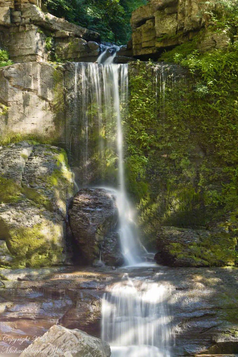
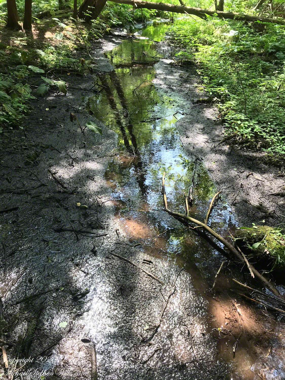
Water, flowing quietly, almost soundlessly, with powerful effect.