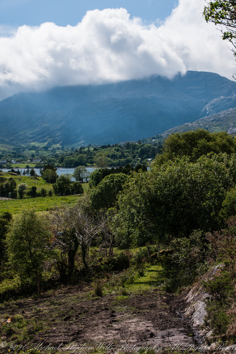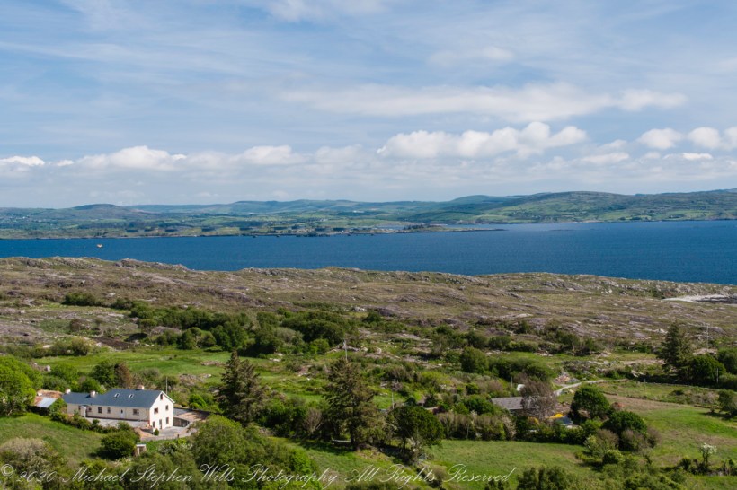
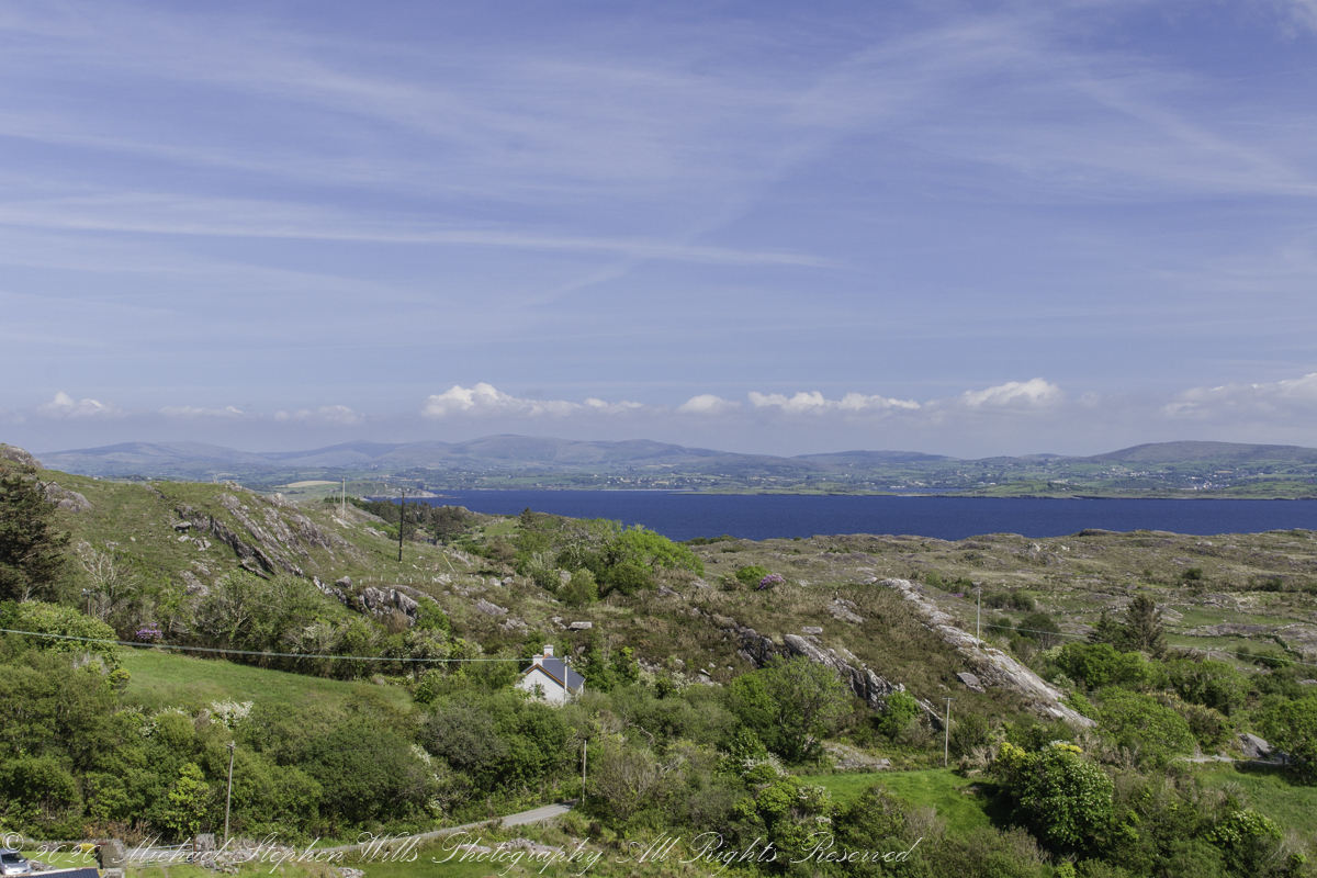
Our introduction to Beara peninsula was a turn onto R572, Sugarloaf Road, from Glenarriff, drive a few minutes to encounter this view view. So stupendous, we parked on a convenient turnoff. The Irish name for the townland is Thrá Chaisil, Tracashel in English. The meaning is “Strand of the Stone Fort.” A prosaic name is “Stone Fort Beach.” Here we look across Bantry Bay,
The location, lost for years, was rediscovered from this photograph. A signed place name. An unmapped place name, surprisingly.
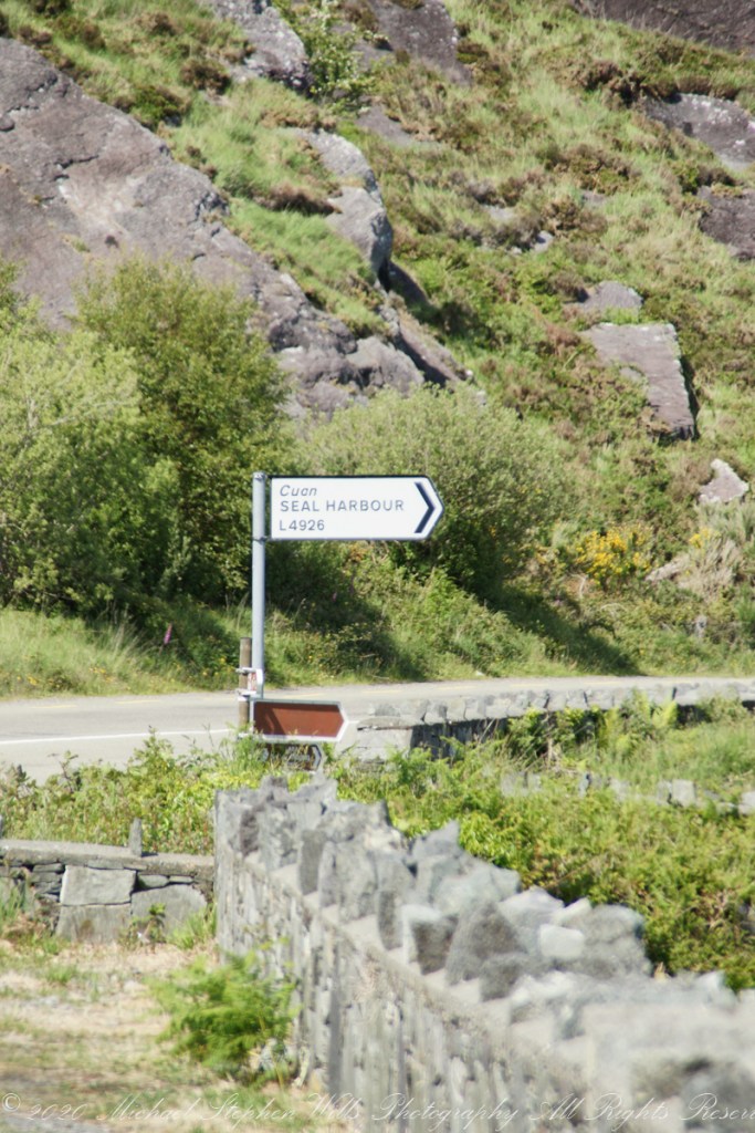
Using date/time stamps, working backward from the Adrigole photograph of yesterday’s post, I used the Google Maps to navigate the route from Glenarriff to find the sign post and turnoff. The harbor in question (“Cuan” is Irish for bay) is named for the adjacent townland, Coolieragh, “An Chúil Iarthach” in Irish, translated as “Western Nook.”
The non-existant “Seal Harbor” is a hopeful renaming by some entrepreneur.
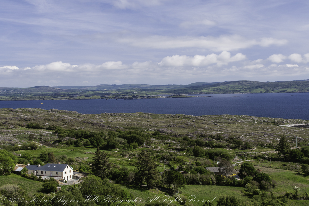
Another view across Bantry Bay.
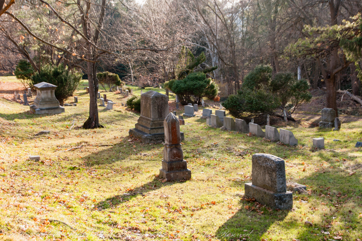
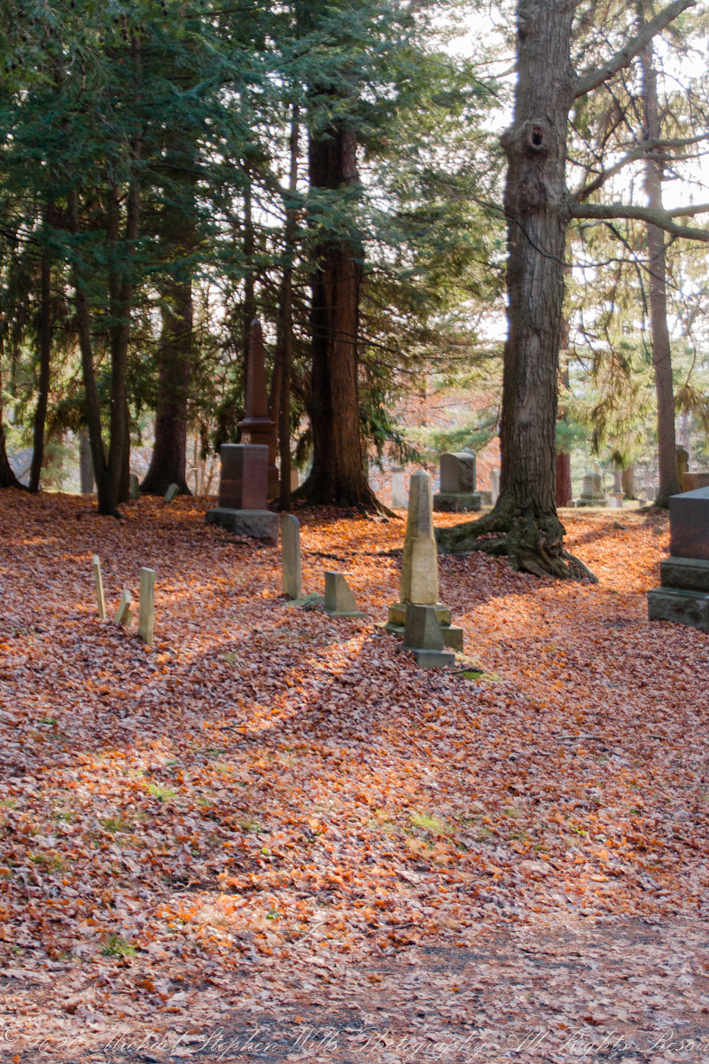
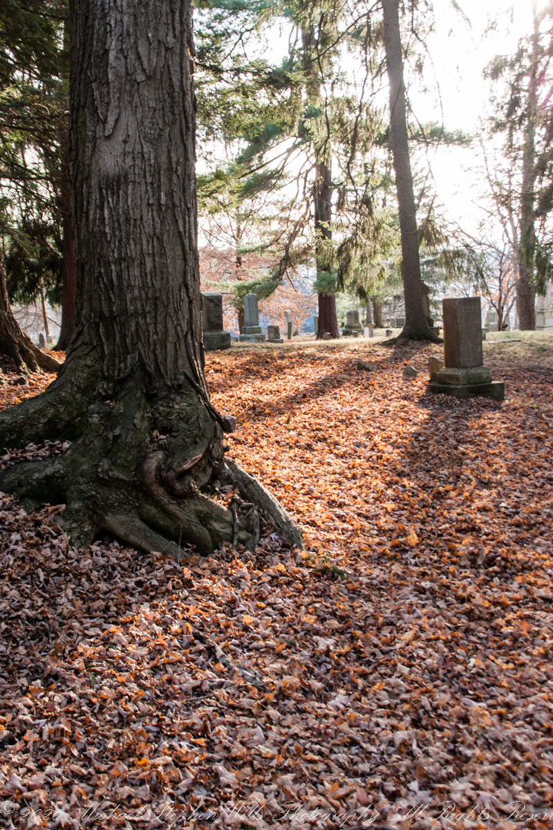
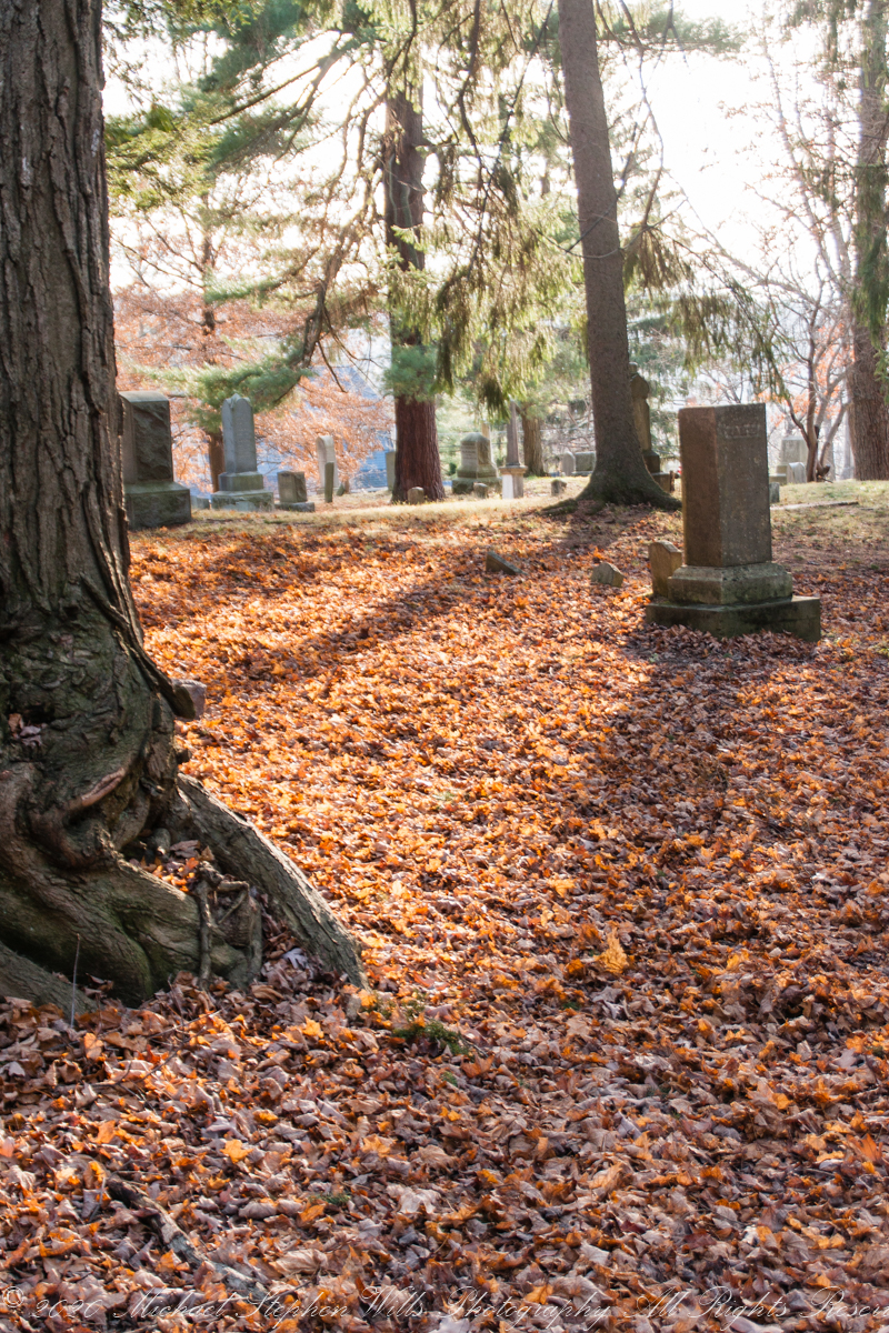
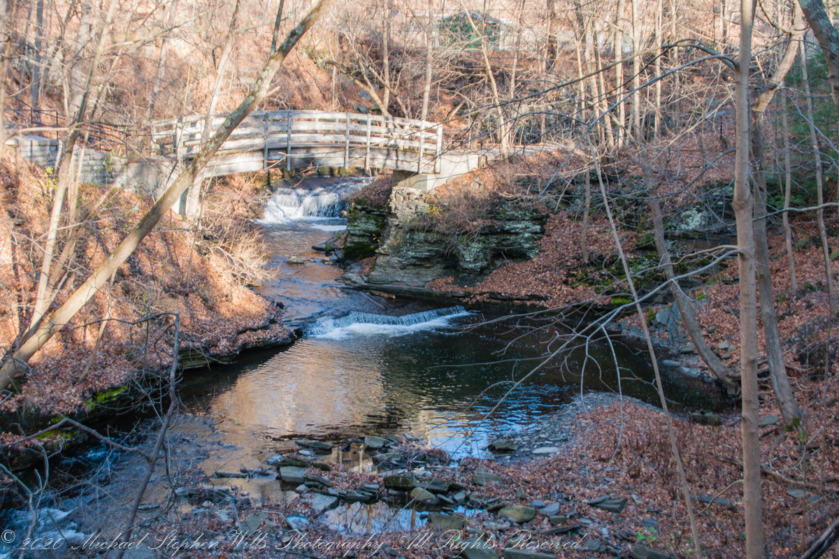
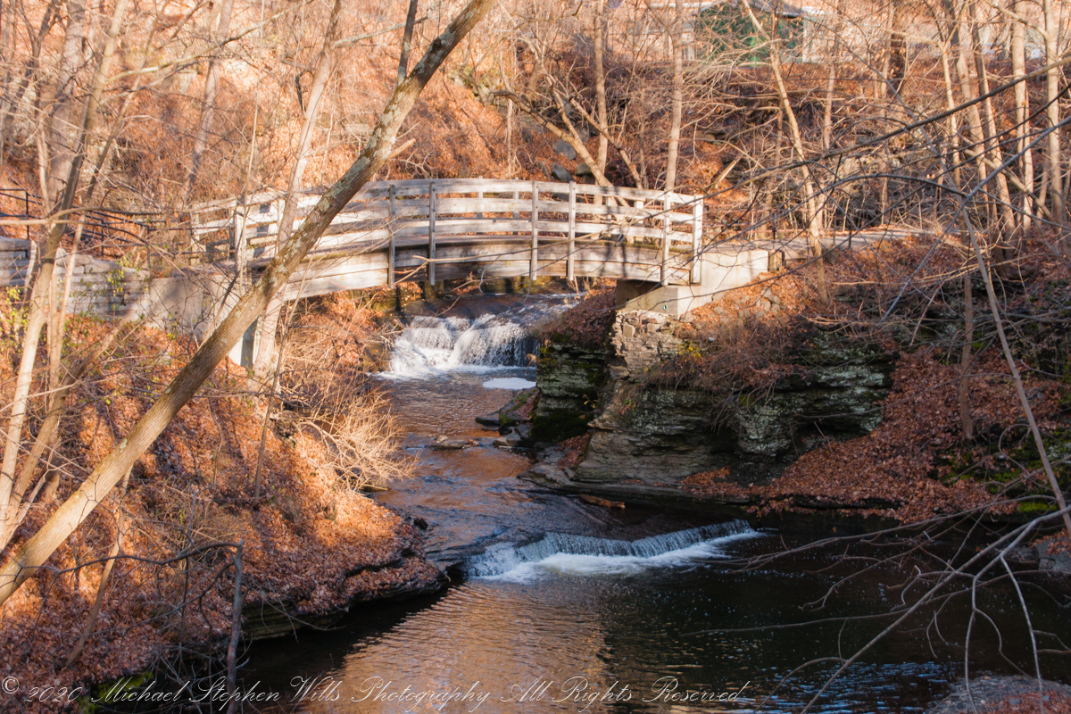
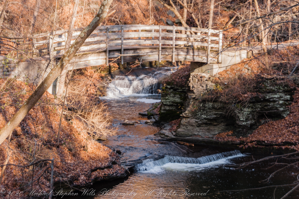
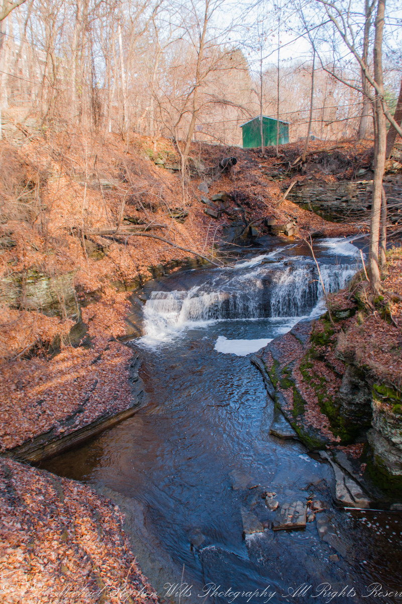
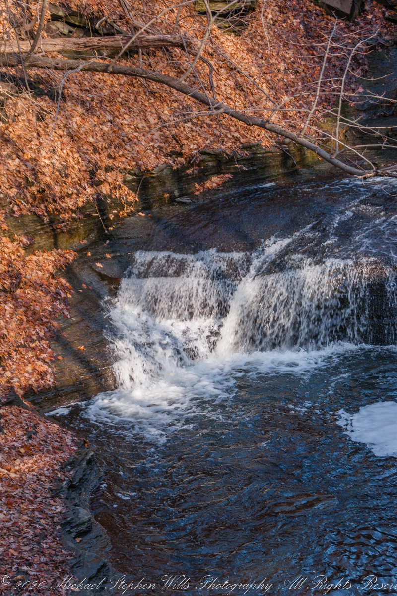
Copyright 2021 Michael Stephen Wills All Rights Reserved