Airport Day was hosted by the East Hill Flying Club, the pancake breakfast was in the hangar.
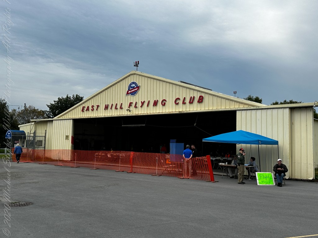
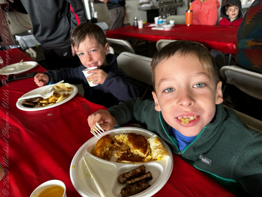
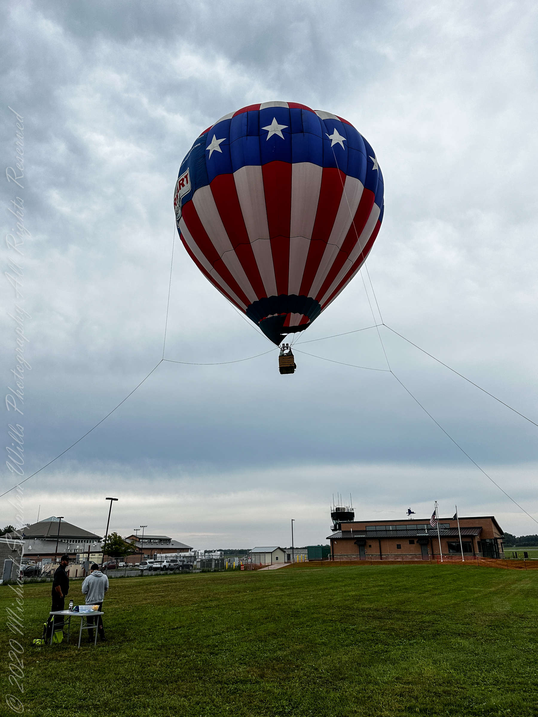
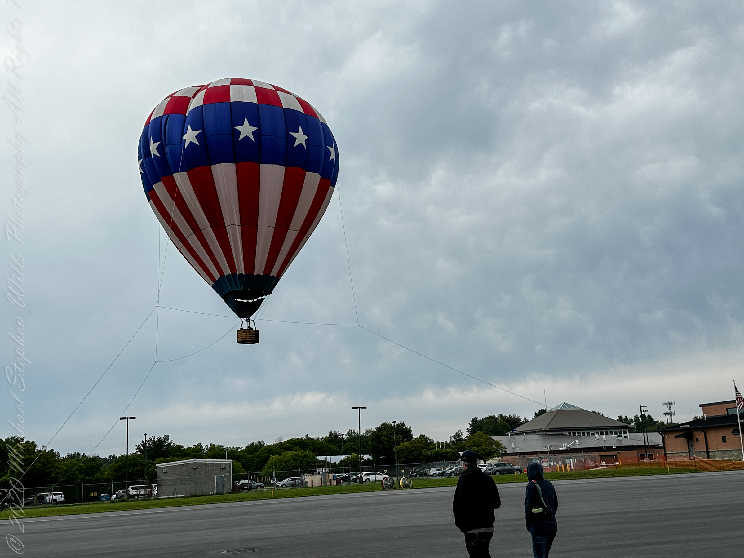
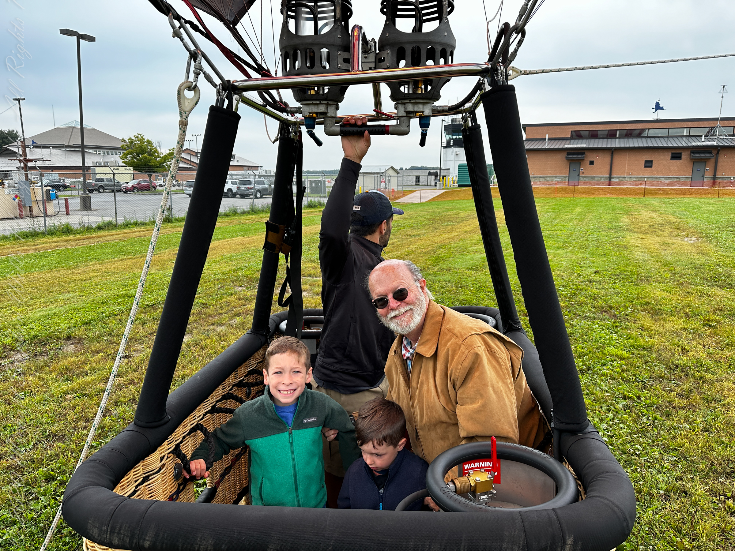
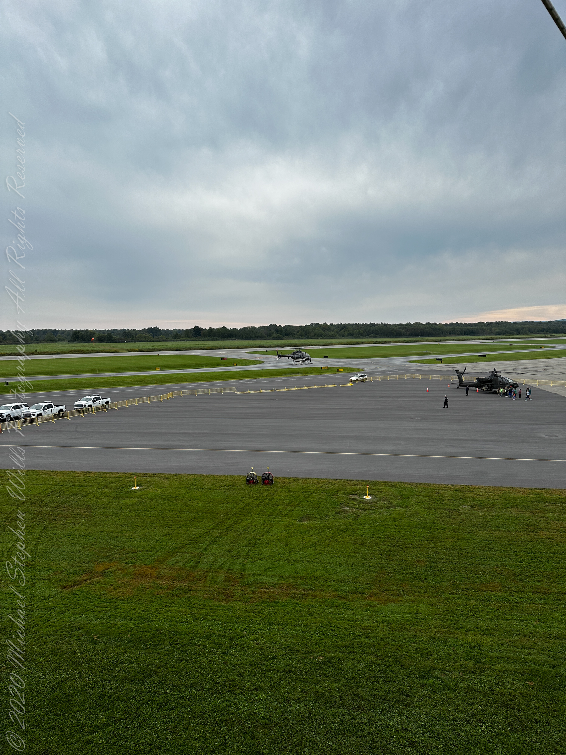
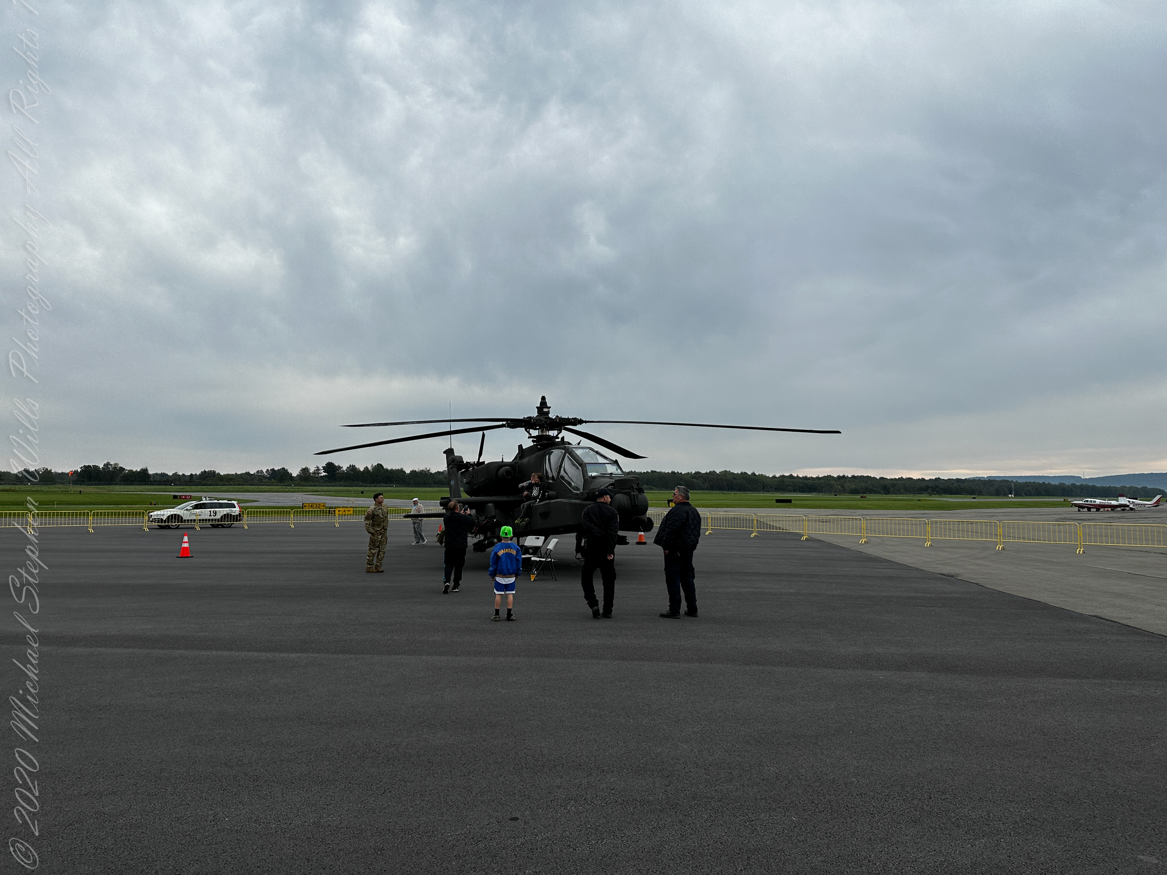
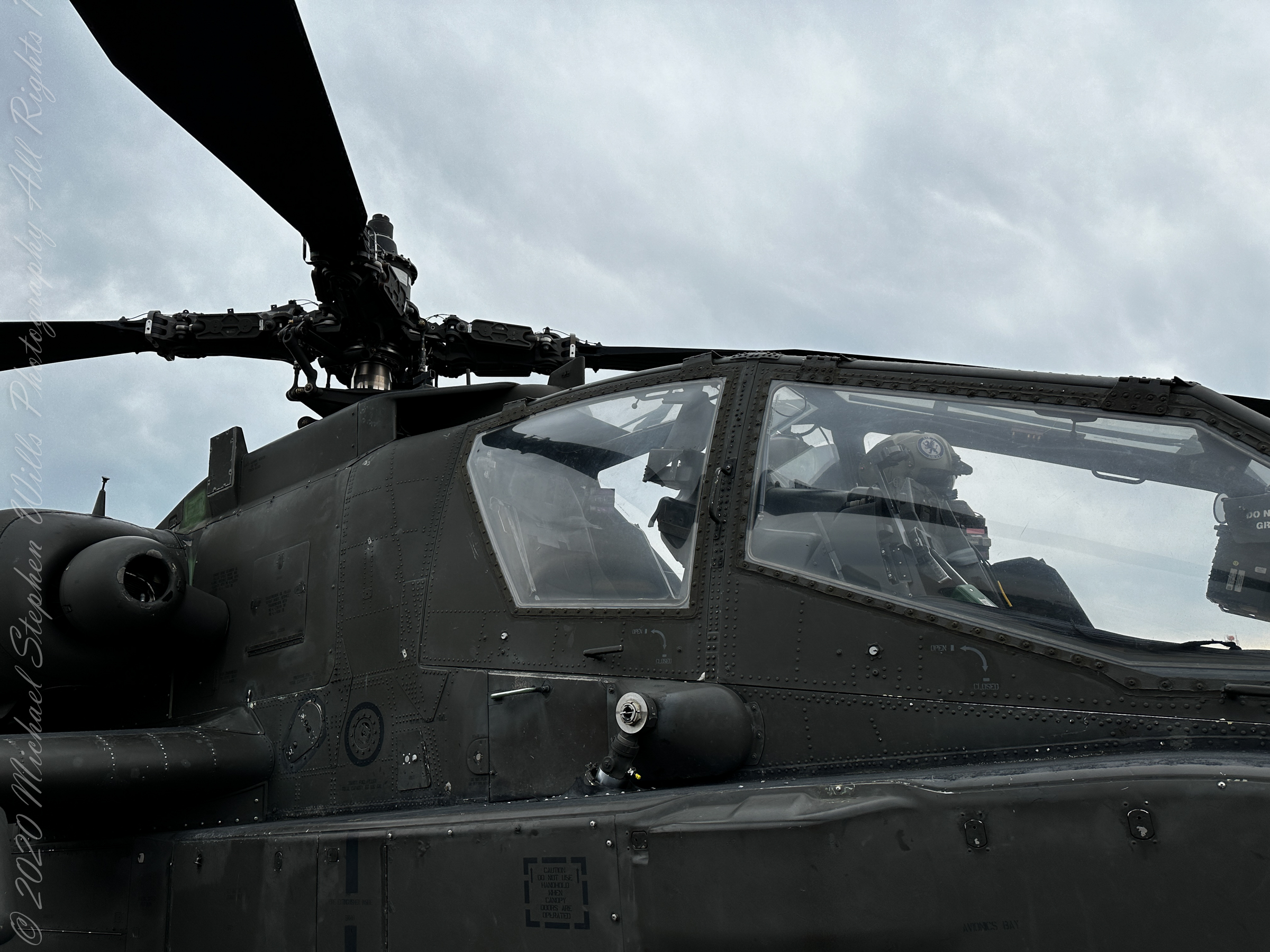
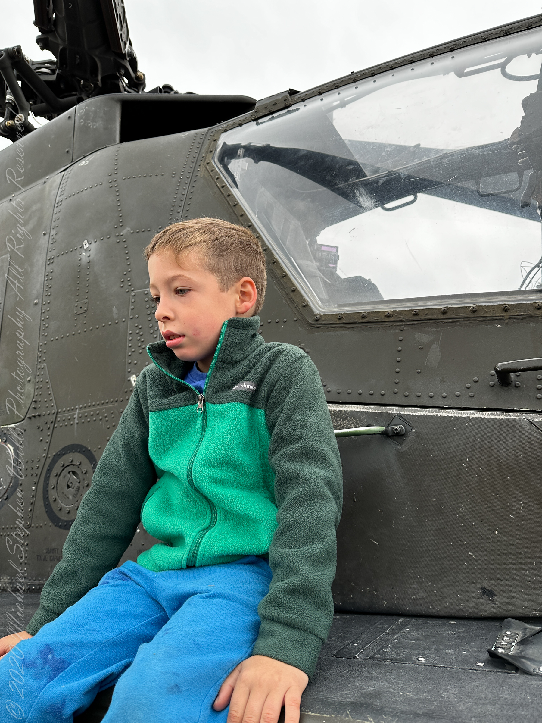
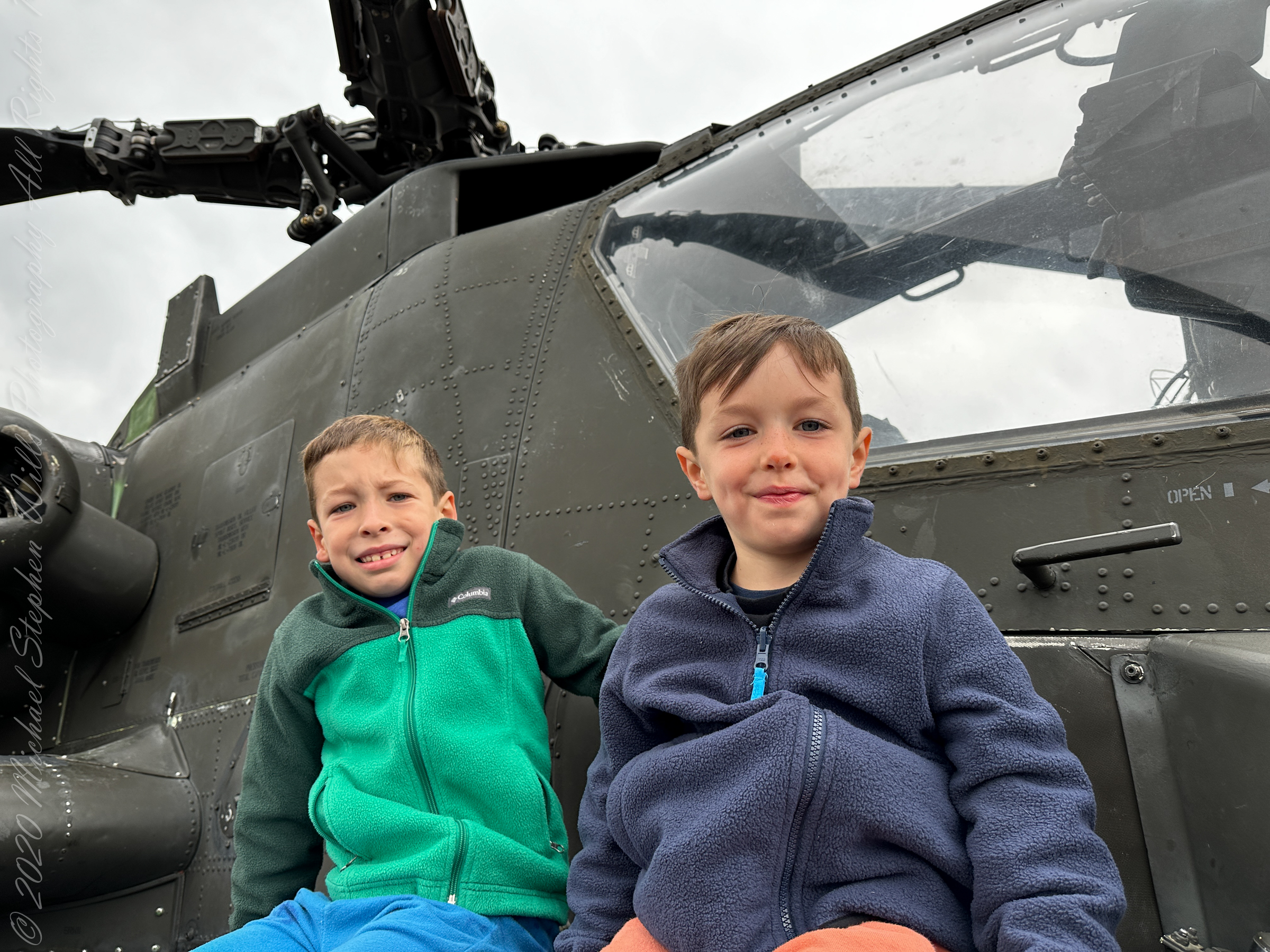
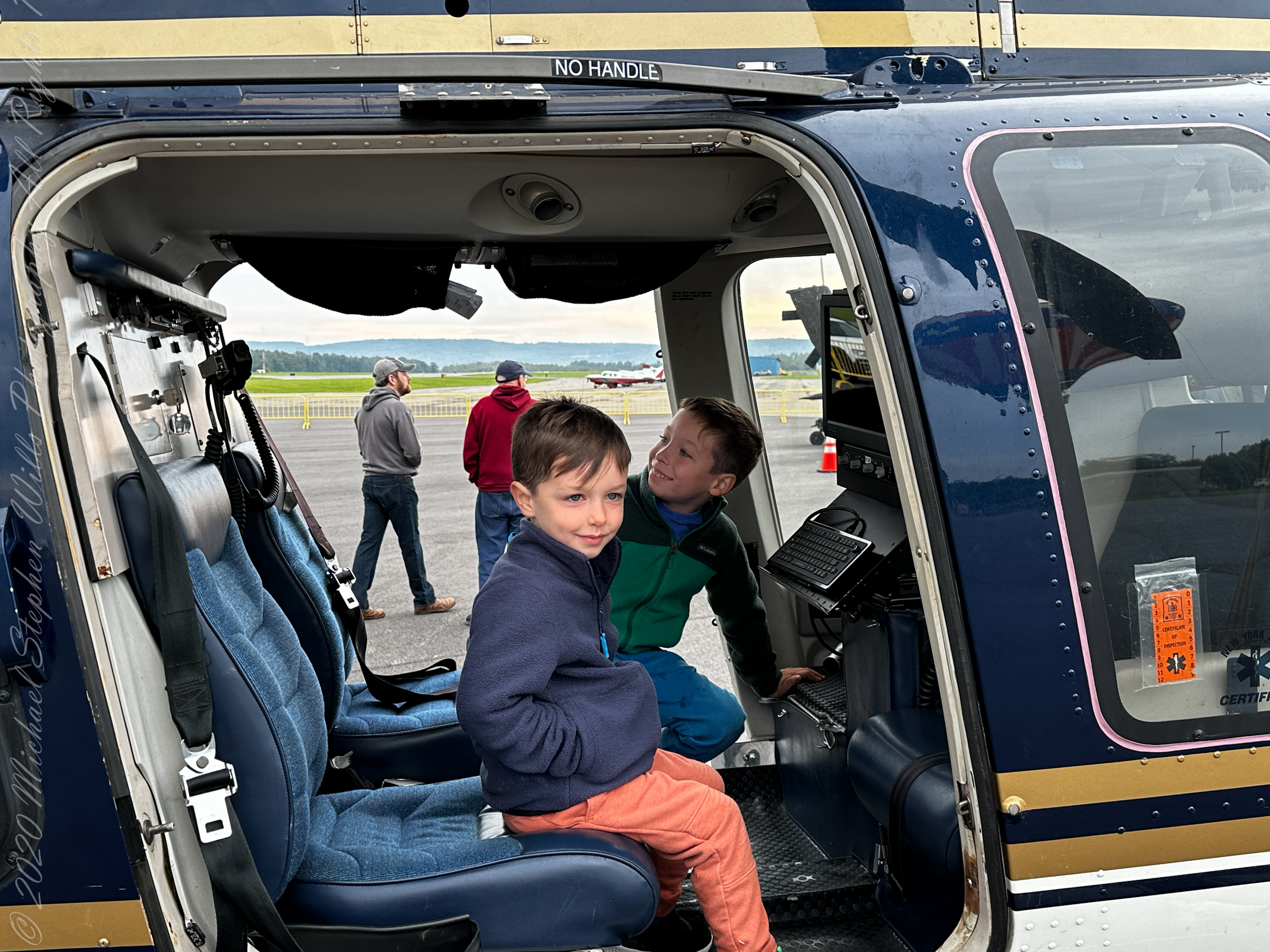
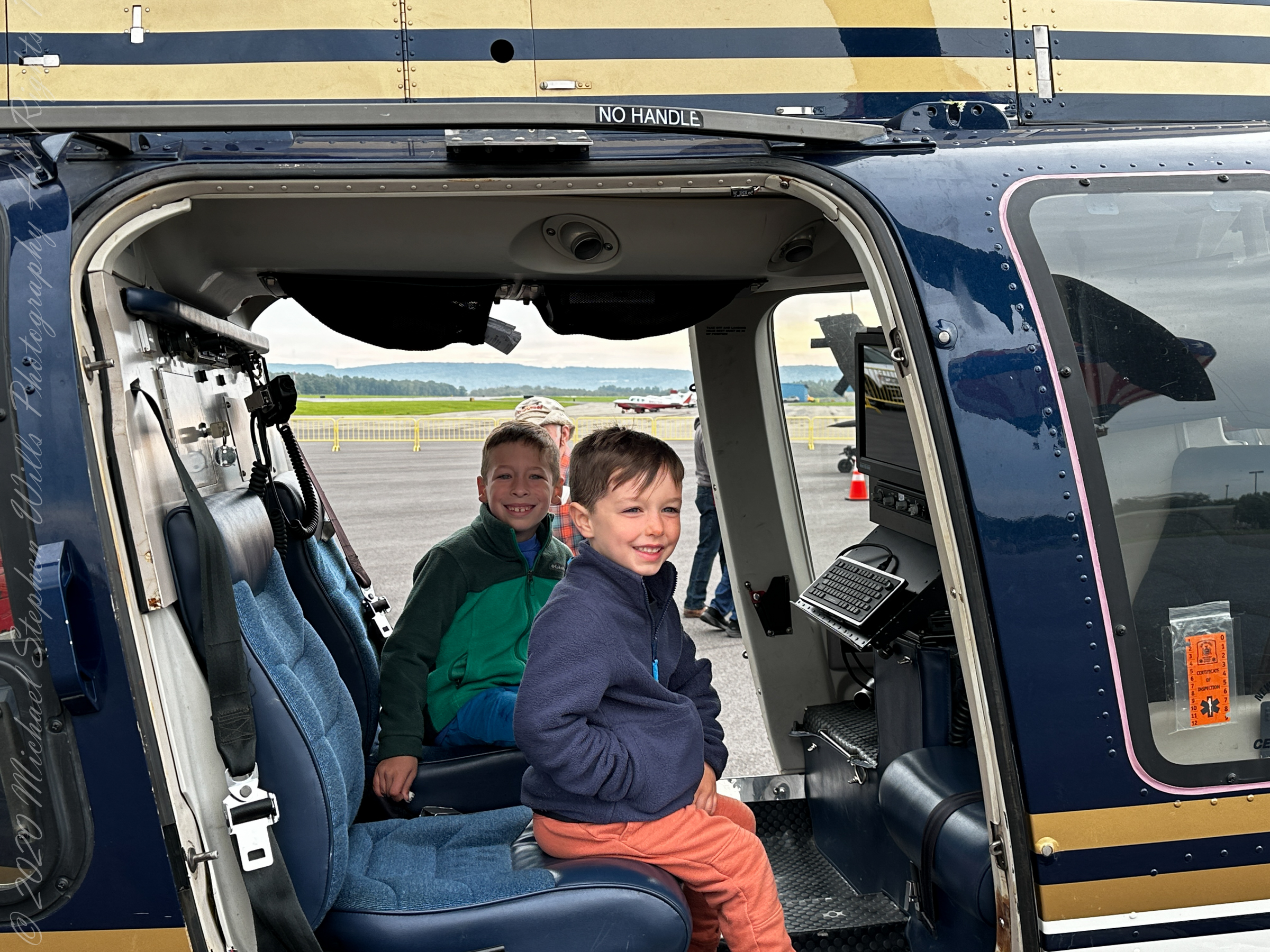
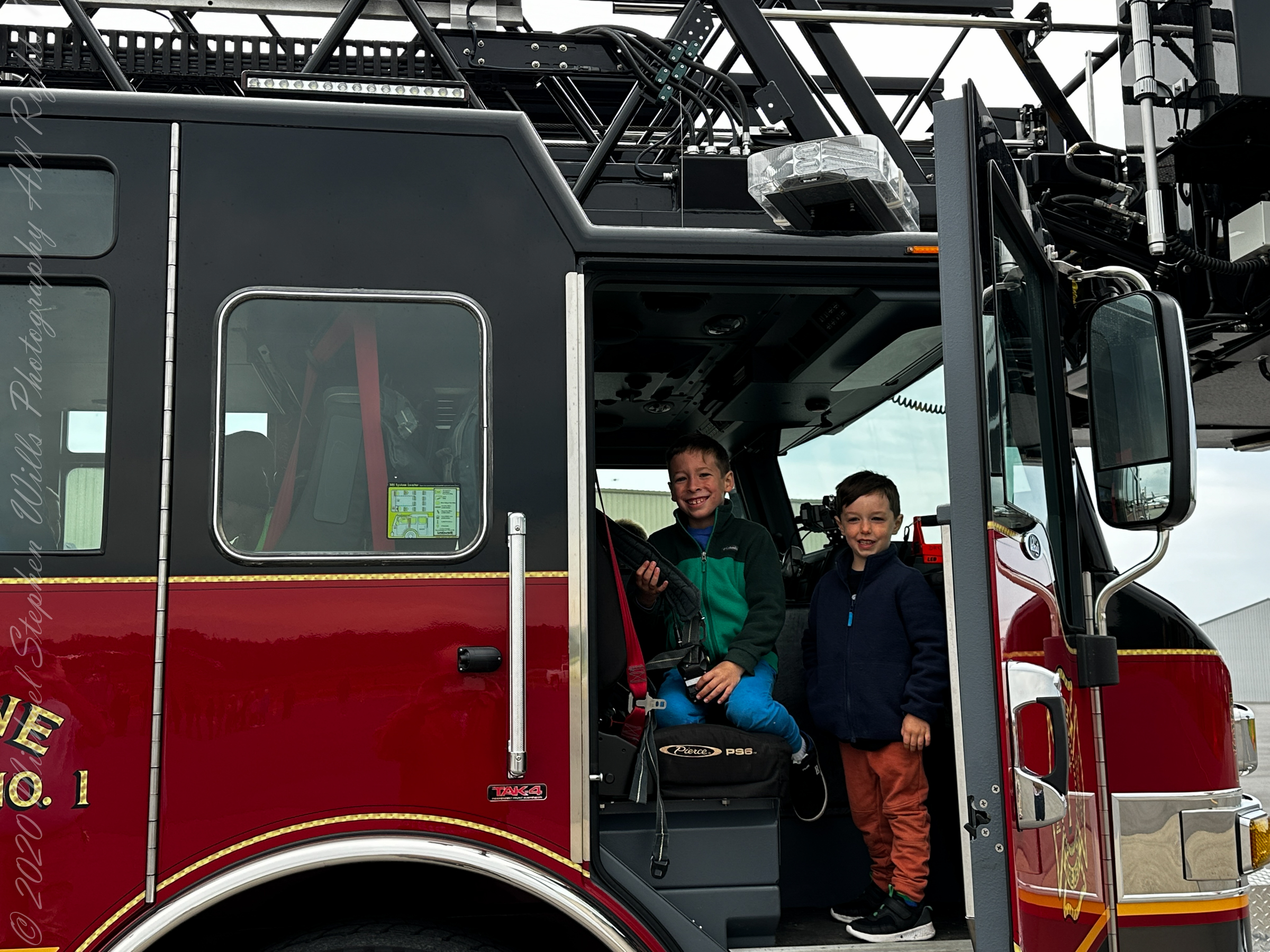
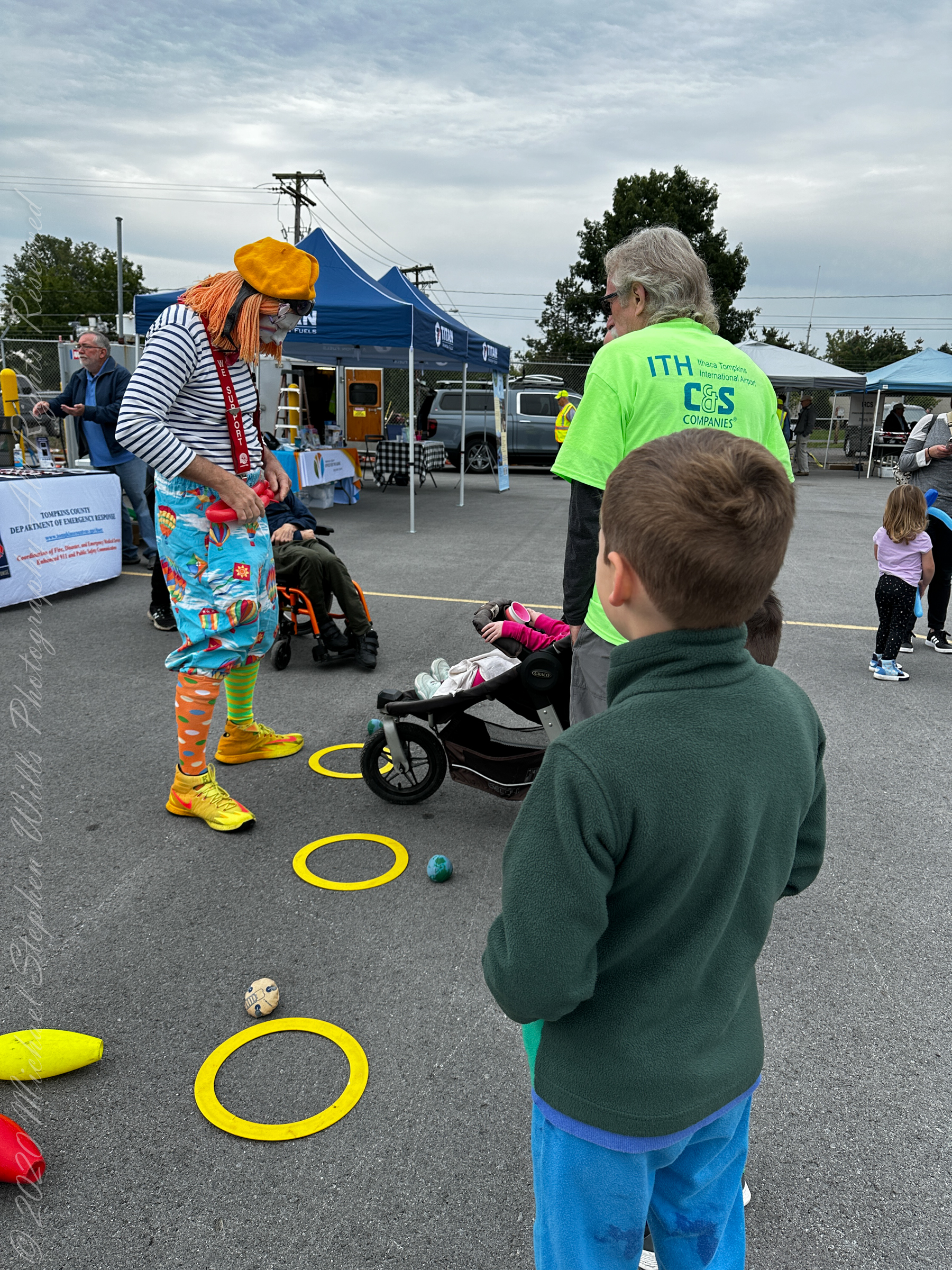


Airport Day was hosted by the East Hill Flying Club, the pancake breakfast was in the hangar.


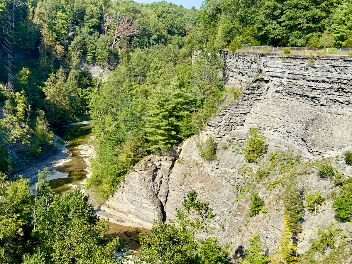
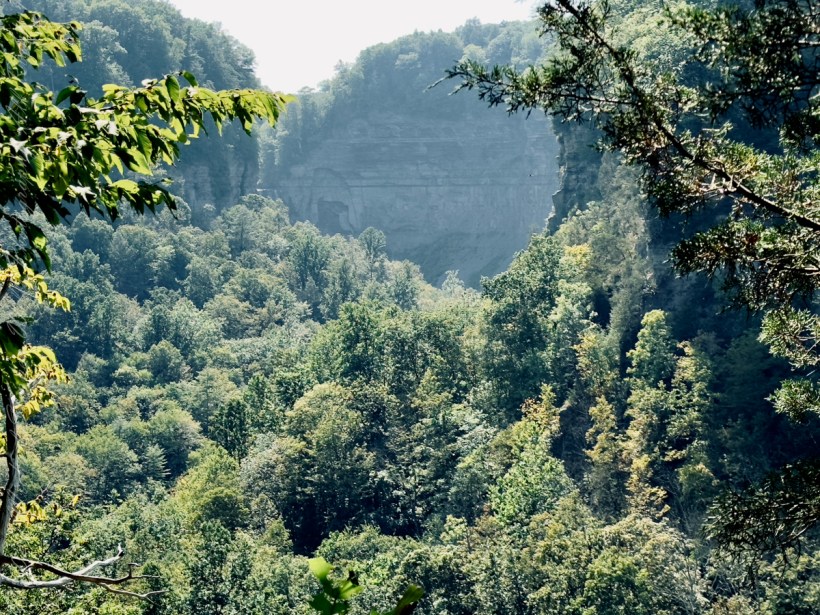
Upper Taughannock Gorge from the South Rim.
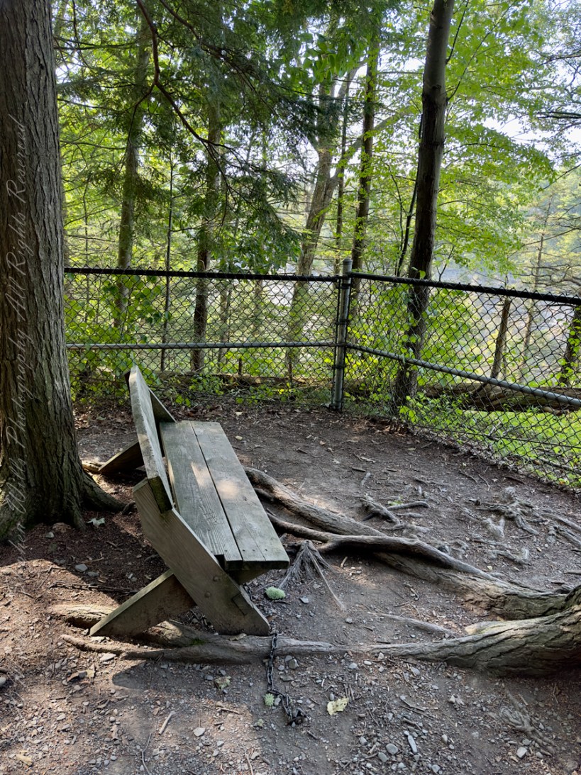
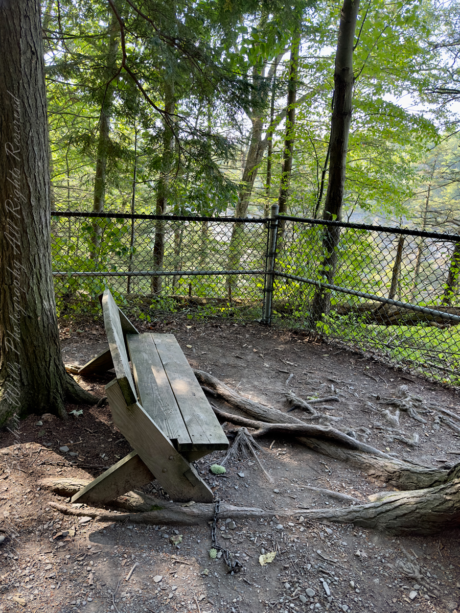

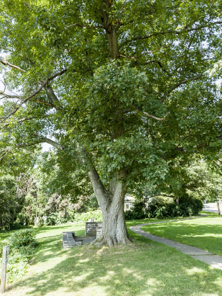
After living here since 1986 I discovered this Cayuga Heights park on a warm early September day, 2023.
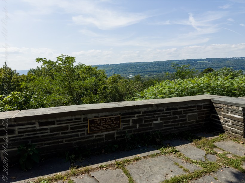
Plaque inscription: “Here may you too find the love of beauty, goodness, truth. This was the wish of Jane and Jared Newman when they presented Sunset Park to the village of Cayuga Heights in January of 1938.”

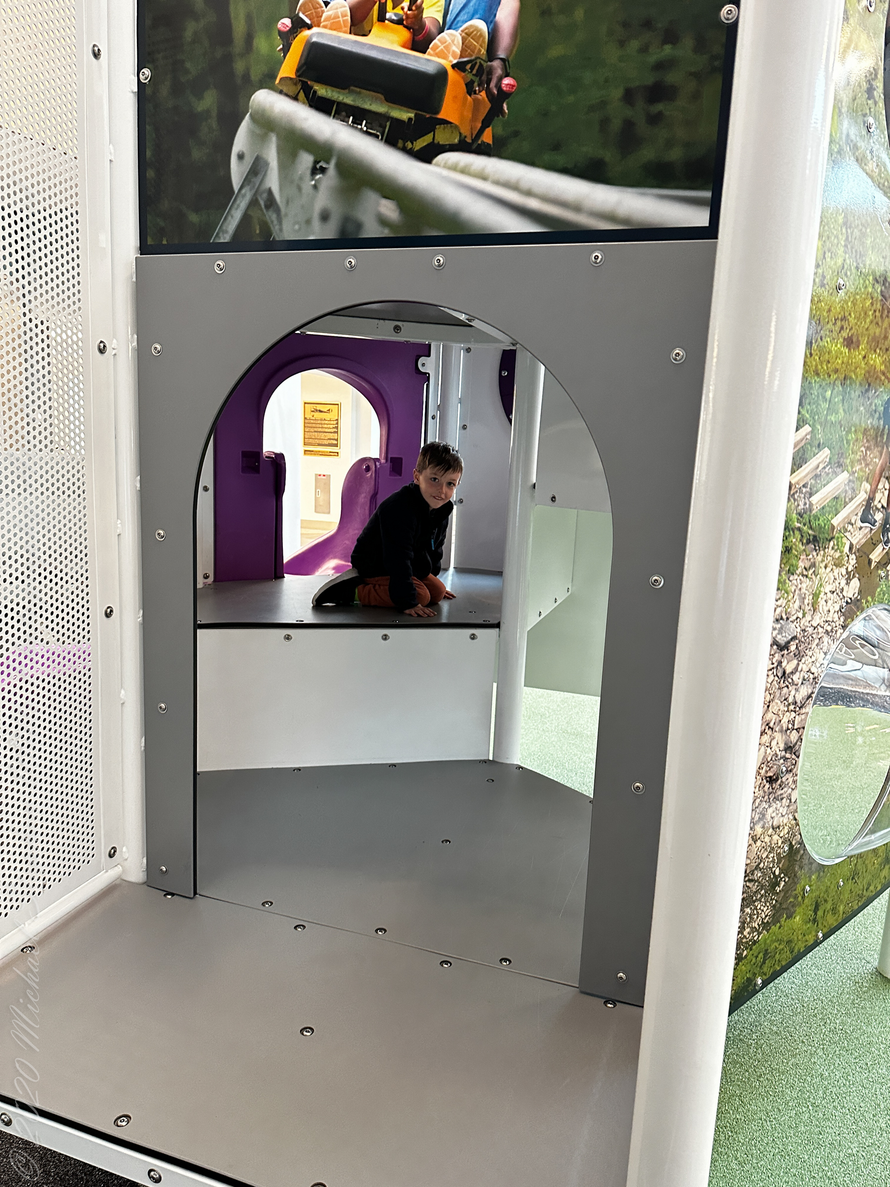
We learned so much from this new sign
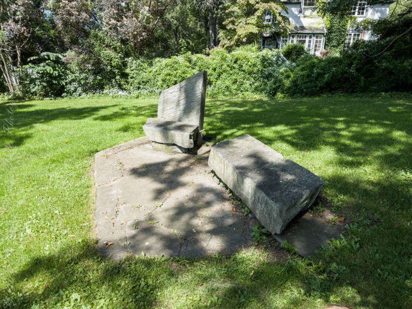
This year, 2023, an informational sign was installed next to the Charles Atwood memorial at the foot of the stone stairs leading to the Gorge Trail.
Charles Atwood The Father of Fillmore Glen
“From Botanist to Physician and Pharmacist: born in Summerhill, Cayuga Coun ty, New York State, Charles Atwood graduated from Cornell University in 1878 with a degree in Botany. He then obtained a medical degree in 1881 from the University of Iowa. He moved to Moravia, Cayuga County, to set up practice. In addition to being a physician, he was one of the first pharmacists to be licensed in New York State. A Passion for Plants. Although Dr. Atwood worked full time as a pharmacist, he retained his passion for botany. Atwood was very interested in the parcel of land that became Fillmore Glen Park, due to the rich botanic life found there. Atwood worked long and hard to establish Fillmore Glen State Park to preserve not only its plant life, but also the cascading waterfalls and unique geological formations.”
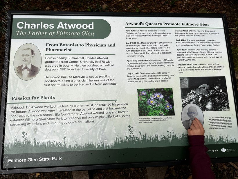
“Atwood’s Quest to Promote Fillmore Glen. June 1919: Dr. Atwood jointed the Moravia Chamber of Commerce and in October became the first representative to the Finger Lakes Association. April 1921: the Moravia Chanbmer of Commerce and the Finger Lakes Association pledged to name the local park after Millard Fillmore, the 13th president of the United States, who was born in Summerhill. They planned a dedication ceremony for July. April, May, June 1921: Businessmen of Moravia organized a volunteer force to clear underbrush, remove dead trees and create walking paths for the July event. July 4, 1921: Ten thousand people came to Moravia to enjoy the dedication ceremony, band concerts, speeches, vaudeville acts, athletic events, dancing, fireworks and a parade. October 1923: With the Moravia Chamber of Commerce, Dr. Atwood submitted a proposal for the glen to become a state park. April 1924: The state legislature created the New York State Council of Parks. Dr. Atwood was appointed a commissioner for the Finger Lakes Region. June 1925: Fillmore Glen officially became a state park with 39 acres. Seven different parcels totaling 144 acres were added in 1926. The park has continued to grow to its current size of almost 1,000 acres. October 1928: After Dr. Atwood’s death in June, several hundred people attended the dedication of a memorial to honor the ‘Father of Fillmore Glen.'”

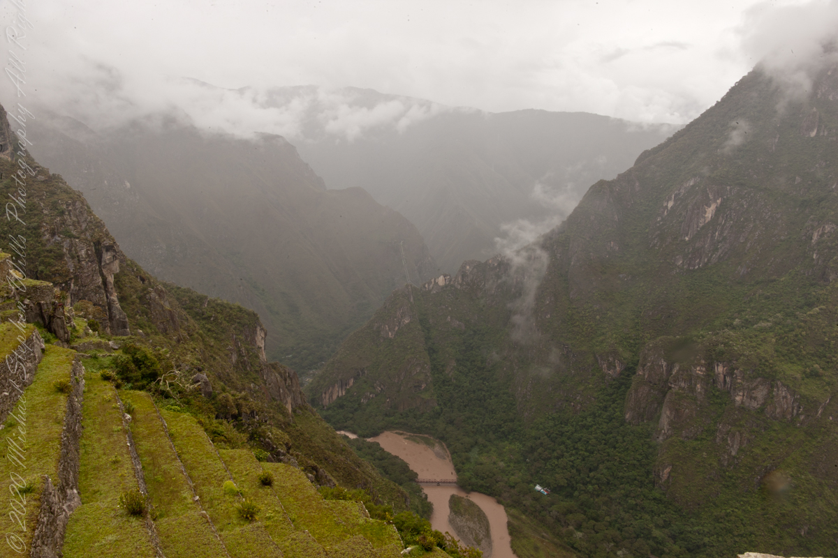
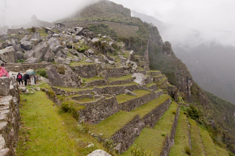
Views while entering Machu Picchu
I set up a Manfrotto BeFree tripod with the Canon EOS 1DS Mark III mounted with the Canon EF 70-300 f/4-5.6 L IS USM lens to capture our experience while entering Machu Picchu.
The eastern shoulder of Huayna Picchu is left and the Urubamba river curves around it. Leading the eye to the distance is an uninhabited andean valley covered in rain forest.
The site itself may have been intentionally built on fault lines to afford better drainage and a ready supply of fractured stone.
“The central buildings of the Machu Picchu Sanctuary use the classical Inca architectural style of polished dry-stone walls of regular shape. The Incas were masters of this technique, called ashlar, in which blocks of stone are cut to fit together tightly without mortar.”
The site itself may have been intentionally built on fault lines to afford better drainage and a ready supply of fractured stone. ‘Machu Picchu clearly shows us that the Incan civilization was an empire of fractured rocks’.

“The section of the mountain where Machu Picchu was built provided various challenges that the Incas solved with local materials. One issue was the seismic activity due to two fault lines. It made mortar and similar building methods nearly useless. Instead, the Inca mined stones from the quarry at the site, lined them up and shaped them to fit together perfectly, stabilizing the structures. Inca walls have many stabilizing features: doors and windows are trapezoidal, narrowing from bottom to top; corners usually are rounded; inside corners often incline slightly into the rooms, and outside corners were often tied together by “L”-shaped blocks; walls are offset slightly from row to row rather than rising straight from bottom to top.”

“Heavy rainfall required terraces and stone chips to drain rainwater and prevent mudslides, landslides, erosion, and flooding. Terraces were layered with stone chips, sand, dirt, and topsoil, to absorb water and prevent it from running down the mountain. Similar layering protected the large city center from flooding. Multiple canals and reserves throughout the city provided water that could be supplied to the terraces for irrigation and to prevent erosion and flooding.”

“The Incas never used wheels in a practical way, although their use in toys shows that they knew the principle. The use of wheels in engineering may have been limited due to the lack of strong draft animals, combined with steep terrain and dense vegetation. The approach to moving and placing the enormous stones remains uncertain, probably involving hundreds of men to push the stones up inclines. A few stones have knobs that could have been used to lever them into position; the knobs were generally sanded away, with a few overlooked.”
