A Summer Flower and Waterfalls

A personal discovery of the namesake of an Ithaca restaurant

Travelling light, using IPhone captures during a 4.6 mile walk on the Gorge and North and South Rim Trails of Taughannock Falls New York State Park, Finger Lakes Region near Ithaca, New York. A few waterfalls and sights along the way. Distance is from the “Health” app on my phone.

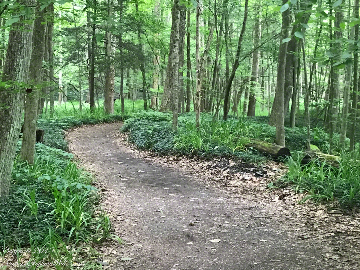
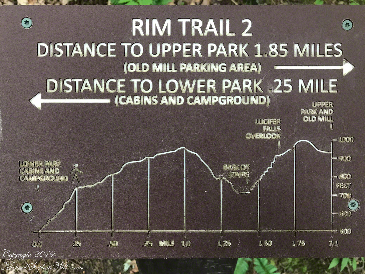
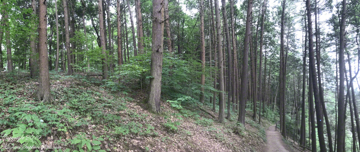
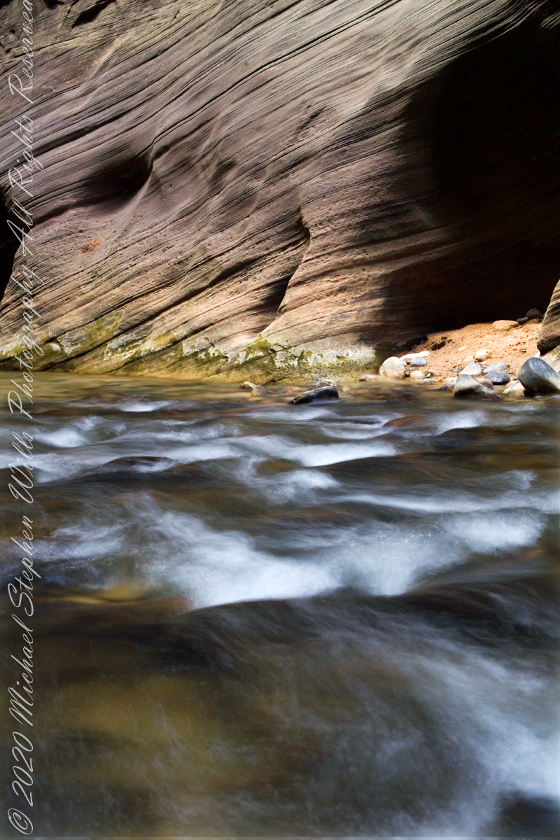
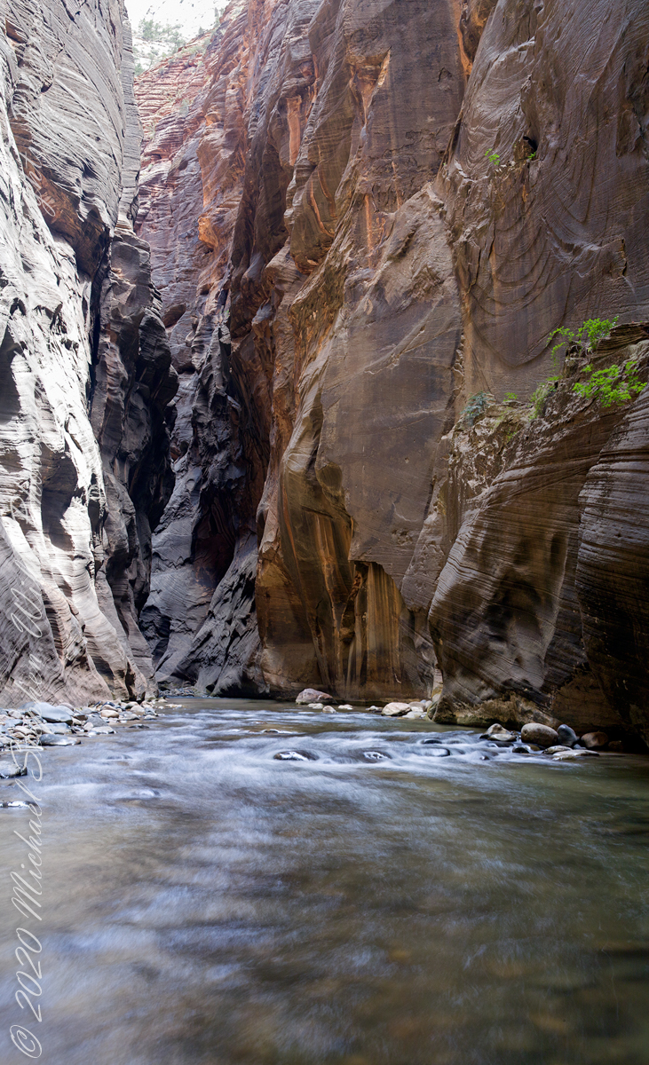
A “Rim Trail” follows the edge of the gorge. The “Gorge Trail” is within the gorge, along side the creek and ends at the 200+ foot waterfall.

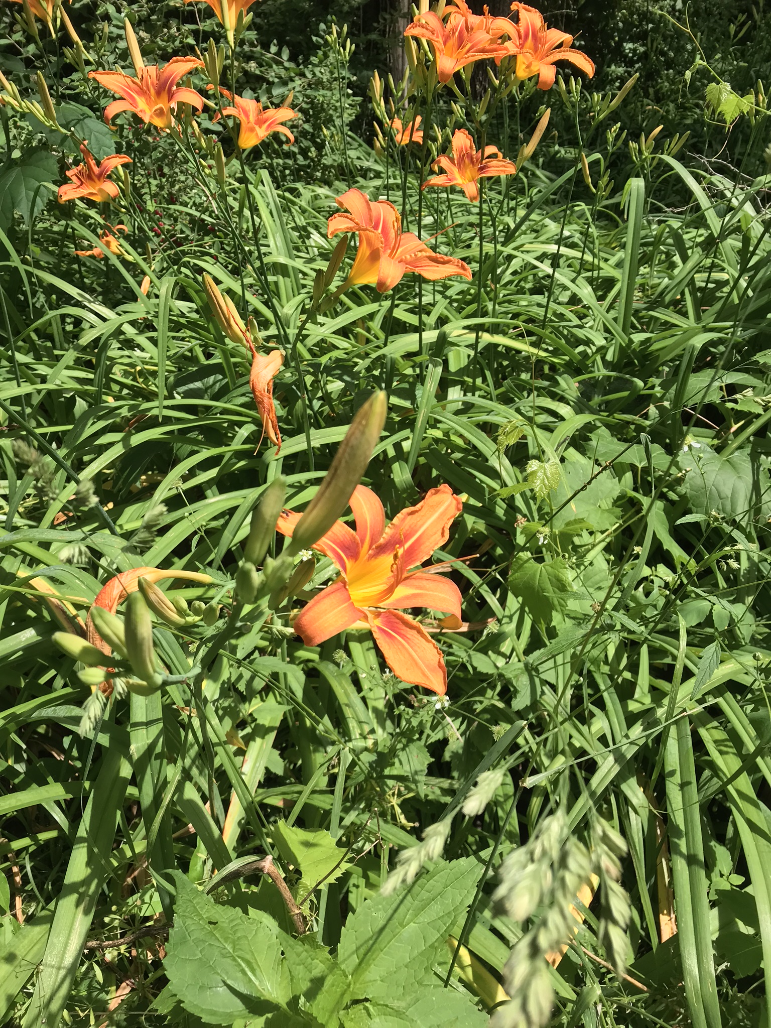
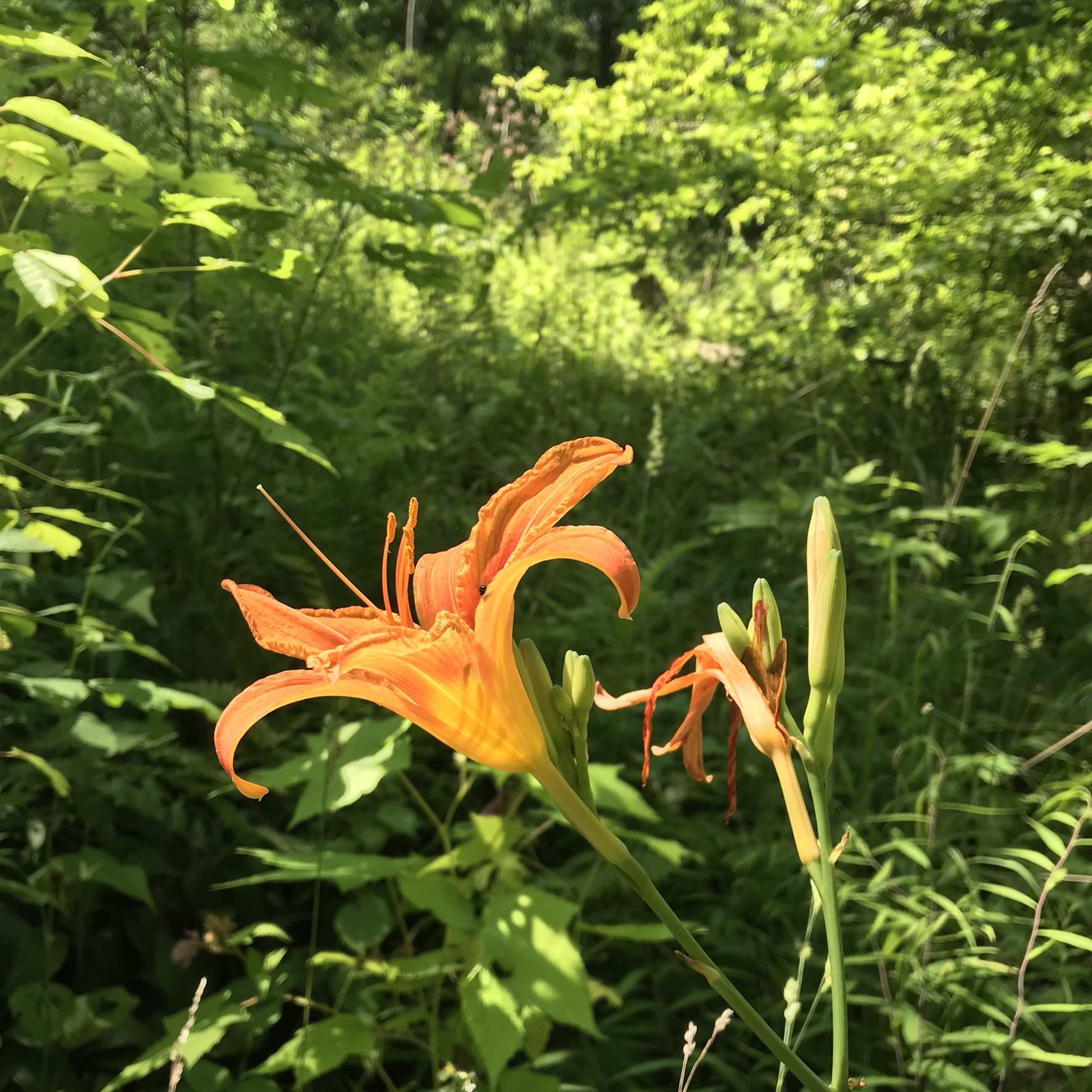
This was the day Tiger Lilies bloomed along the roads the entire 13 miles. This stand was at the beginning of the South Rim trail.

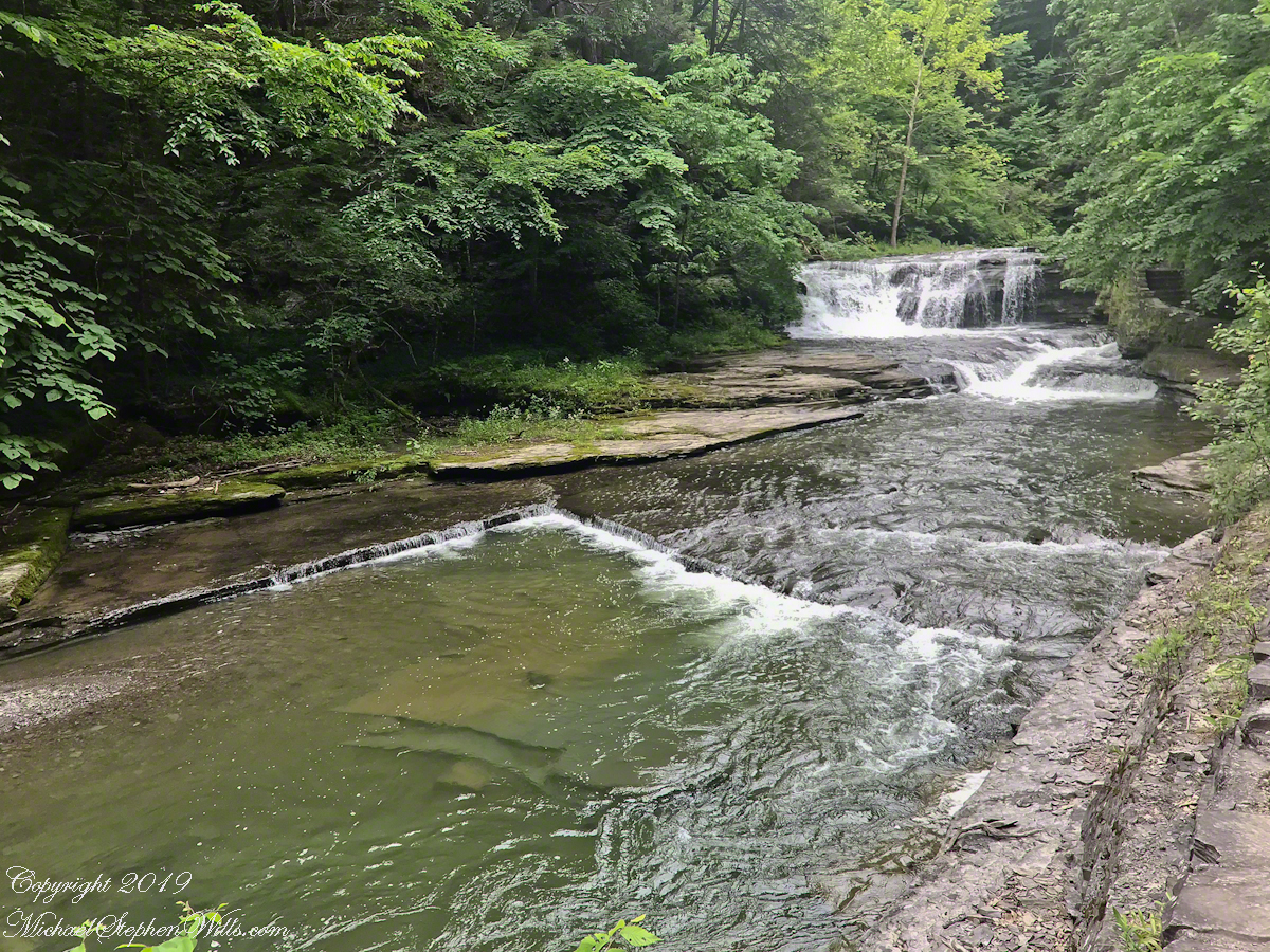
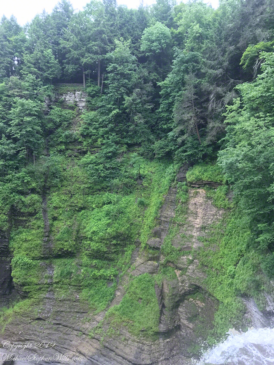
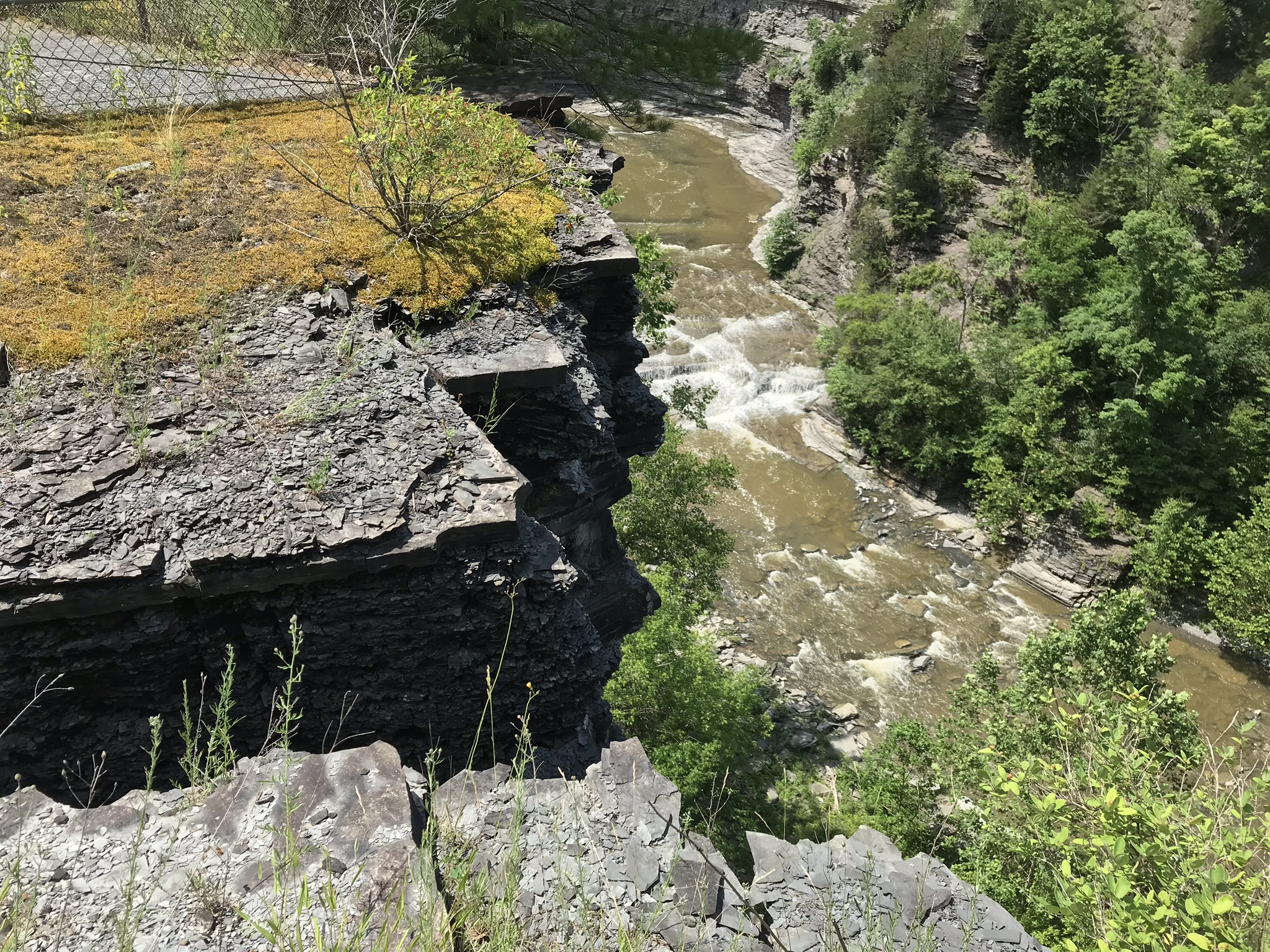
A few steps farther the trail opens up to the expanse of the gorge above the waterfall, a place to contemplate the age of these rock gazing into the open space. There is no access to the bottom of the gorge here.

On days like this, the experience carries me away, enjoying the moments and forgetting the phone in my pocket. When I come to, it is the bottom of the South Rim trail at the entrance to the Gorge Trail and the hordes walking to the falls on a Sunday afternoon. This waterfall welcomes everyone at the beginning.

The vantages I choose usually exclude the crowds, here is a video of the observation platform beneath the 215 foot Taughannock Falls. Any closer and the camera lens is covered with mist. Feels great on this hot day.

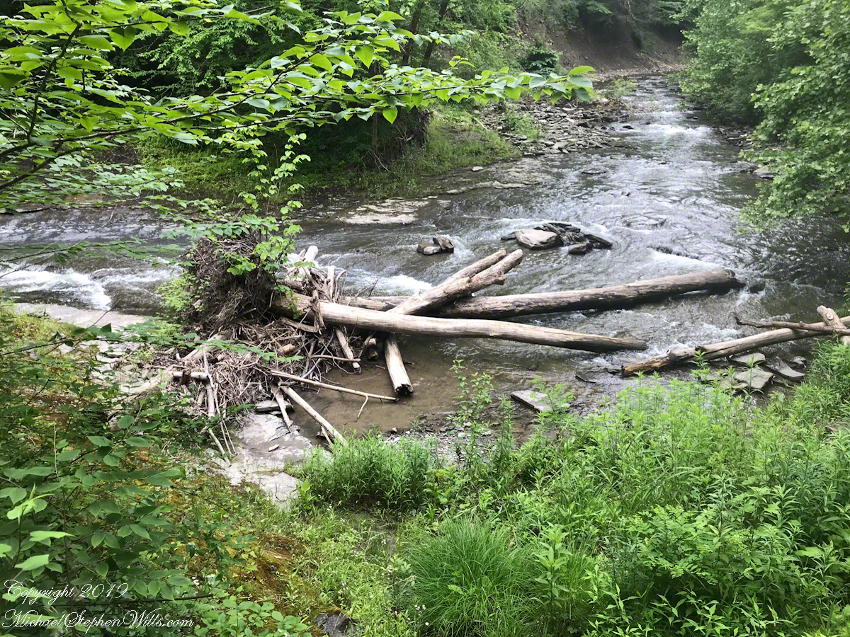
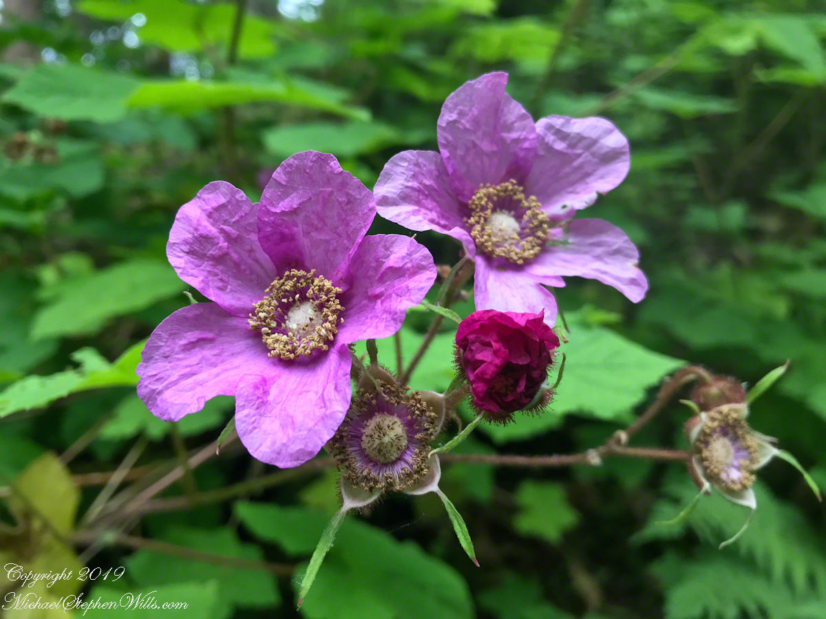
I capture this tree growing along the Gorge Trail for later identification. It has fruits similar to a maple tree. Called samaras and also known as helicopters, maple keys, whirlybirds, and polynoses these must distinguish this tree as a member of the genus Acer though the leaf shape gives me doubts. Here the gorge changes direction almost 90 degrees from, generally, north/south to east/west. There is plenty of sunlight here and the tree has taken root in the talus of the cliff face.

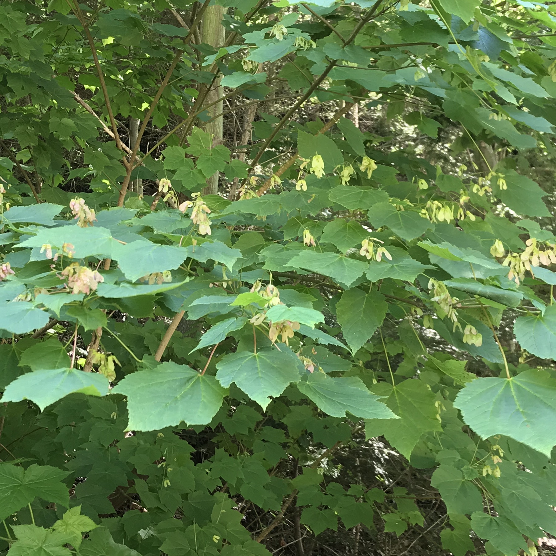
I researched it and discovered the scientific name is Acer pensylvanicum and more commonly known as Moosewood. There is a “famous” restaurant in Ithaca, named Moosewood, so now I know there is indeed a tree growing locally by that name. The restaurant is near the commons of Ithaca and is 100% vegetarian. The last time Pam and I at there we were packed like sardines, like some collective, and we’ve never been back. The food is good and the basis of their fame is a cookbook by the same name.

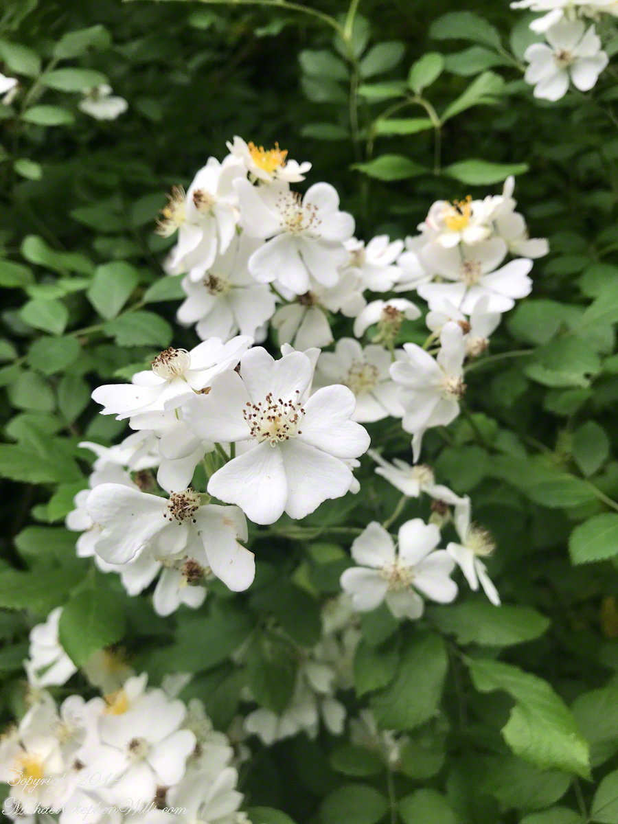
Backlit lilies found on the climb up the North Rim trail.

Click me for a Tiger Lily photograph from my Fine Art Gallery. Click the “View Larger” link for the image.

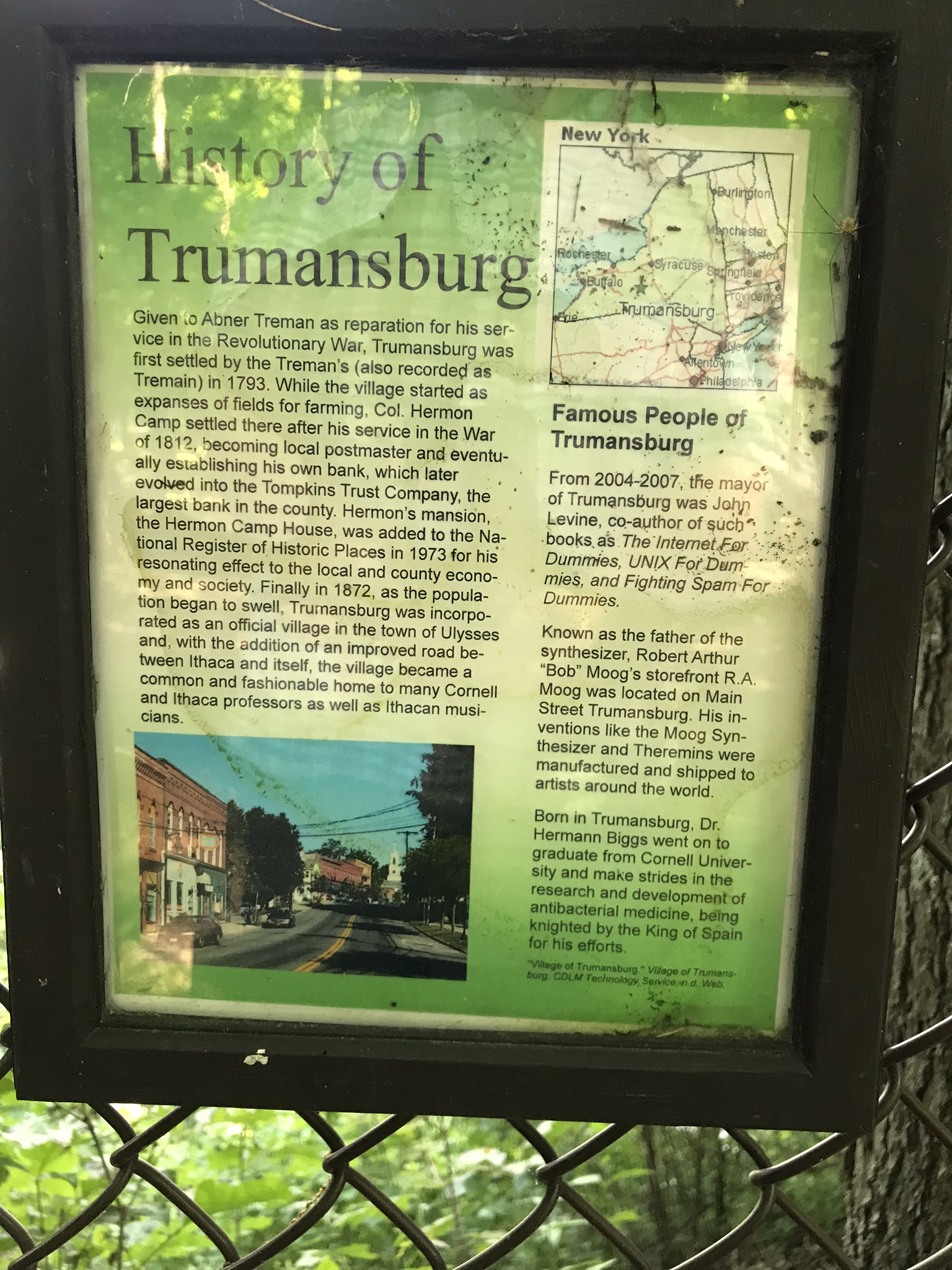
Along the trail are interesting and informative sheets about the park and surrounding towns. Trumansburg is the nearest village to the park.

Click me for another Waterfall post.
Copyright 2021 All Rights Reserved Michael Stephen Wills

Summer Waterfall Walk

Travelling light, using IPhone captures during a 5.7 mile walk on the Gorge and South Rim Trails of Robert H. Treman New York State Park, Finger Lakes Region near Ithaca, New York. A few waterfalls and sights along the way. Distance is from the “Health” app on my phone.

One of many waterfalls along the Gorge Trail
Looking back to the above waterfall
Enchanted Trail
Birdsong and enchanted place
Bayberry?
The power of flowing water (flood stage)
Click me to learn more about the Purple Flowering Raspberry from my Fine Art Photography Gallery
Purple Flowering Raspberry
Wild Rose
It is good to know where you are
Rim Trail Panorama
Sweep of Lucifer Falls from the Gorge Trail
That is the South Rim Trail Lucifer Falls Overlook, upper left.
Click me for the next post in this series, “A Summer Flower and Waterfalls.
Copyright 2021 All Rights Reserved Michael Stephen Wills

Zion Narrows VII

highwater?

Mysterious alcoves through cross-bedded Navajo Sandstone, 15 feet, or more, above the streambed. I use mysterious in the sense I wished the formations were mysterious, standing there with nowhere to climb, witnessing the effects of floods that high above. The location is The Narrows just above Orderville Canyon junction, Zion National Park, Springdale, Utah

Copyright 2021 Michael Stephen Wills All Rights Reserved

Zion Narrows VII

laying around in The Narrows

This polished basalt, the product of volcanic eruptions and eons-long weathering, is common on the Virgin River bed. Zion National Park, of The Narrows just above Orderville Canyon junction.

Copyright 2021 Michael Stephen Wills All Rights Reserved

Zion Narrows VI

long and narrow

I combined two 50 mm exposures for this view of an interesting rock and beetling canyon walls. Upstream from here it is a day’s walk to reach ground safe from flash floods, downstream at least one hour. Narrows of Zion National Park, Utah

Copyright 2021 Michael Stephen Wills All Rights Reserved

Rainbow Falls, Watkins Glen State Park

Want more? Click this link or any photograph for my Online Gallery.

In the nature of fame, today Watkins Glen is the best known of the Finger Lakes State Parks. The International Speedway of that name enhanced and amplified name recognition during the post war years. Founded in 1948, the course used public roads of the town until the inevitable happened, an accident and the death of a seven year old child in a group of sidewalk spectators when a racer lost control.

The glen predates the race by 12,000+ years formed at that time from glaciation using materials from distant eons . Watkins Glen was known as a tourist attraction from the 19th century for the resort hotel on the south gorge rim, acquired and developed by New York State in the first years of the 20th century.

From a gate off “Lovers Lane” a sturdy flight of concrete steps with custom made handrails lead to an observation platform over the gorge. This feature will be known to many future generations……

Lovers Lane Observation Platform– CLICK ME!!!!

…….the fine grained concrete is worthy of a Roman wall, the heavy iron handrails were built to specification as flowing curves unlike what is done today: built as modules and accommodated on site.

Lovers Lane Observation Platform– CLICK ME!!!!

In the 20th century the fame of Watkins Glen attracted the road race, the popularity of racing enhanced park attendance. Today, the gorge trail of crowded summer weekends. On Tuesday, August 1, 2017 Pam packed a picnic lunch and we made a late start for a weekday visit. The upper entrance is enhanced by mature trees, oak, elm, hemlocks. We had our picnic under these on a moldy picnic table enhanced with a green striped table cloth and fresh coffee.

Pam is my personal photographer. Here is an example of her work.

Michael Wills in Watkins Glen– CLICK ME!!!!

To give me my due, I did the driving and carried the 30+ pound pack into the gorge.

Pam captured me in position downstream from Rainbow Falls with a Manfrotto tripod with hydrostatic ball head on which is mounted a Canon EOS 1Ds Mark III and Canon EF 24mm f1.4 II USM lens, Tiffen nd 0.9 filter.

It was coming up to 4 pm eastern daylight savings time, the sun still high overhead. I needed to carefully choose a position for a frame in the wide angle lens without hot spots. Here are two results.

The sun was just of the gorge rim, to the right. Rainbow Falls forms from the tributary to Glen Creek cascading over the gorge walls.

Rainbow Falls of Watkins Glen– CLICK ME!!!!

Visitors walk under the falls where falling water eroded the soft, underlying stone to form an overhang.

Rainbow Falls of Watkins Glen– CLICK ME!!!!
Copyright 2021 Michael Stephen Wills All Rights Reserved

Zion Narrows V

narrow and tall

This long exposure blurs the two distant human figures looking downstream toward junction of Orderville Canyon, around corner. Narrows of Zion National Park, Utah

Copyright 2021 Michael Stephen Wills All Rights Reserved

Zion Narrows IV

cross-bedding

Careful attention to hidden boulders is essential when hiking the Narrows of Zion National Park, Utah

Copyright 2021 Michael Stephen Wills All Rights Reserved

Zion Narrows III

cross-bedding

The pronounced cross-bedding (diagonal layering) of this Navajo Sandstone wall exposed by Virgin river erosion is the effect of wind drifting sands of the largest known sand desert formed in the Jurassic era lasting for 56 million years (185 million years ago). This photograph contrasts the ever new Virgin River with this ancient rock, deepening shadows suggest the depth of time.

Copyright 2021 Michael Stephen Wills All Rights Reserved

Zion Narrows II

more Narrows information and perfecting the photograph

My research for Zion Narrows I included a useful map. Perusing the the National Park Service web site I could find nothing for the Narrows. This week, while perfecting the three file merge, I kicked around in “google” and found this map hidden away in a section devoted to dedicated canyoneers planning multiple day backpacks through the entire canyon. These trips are from the “top down” and, I suppose, they do not want to expose the information to day trippers.

Anyway, I downloaded the map and present it here. You can either click on the hyperlink or click “download” to view the map. The file is a 2.5 MB pdf, if you want to download it. The trail accessible from the park proper starts from the bottom. Pam and I made it to just beyond where Ordway canyon joins, about 2 hours from the start. Note there are NO places to escape a flash flood beyond this point and, below, we learned from observation there are few places and many of these were for hikers more, lets say, nimble than Pam and myself.

The following is the result of several hours work merging the three files of Zion Narrows I. Click on the image to open a larger version in a new tab.

This is a comparison of the before and after photographs. Enjoy!!

Copyright 2021 Michael Stephen Wills All Rights Reserved