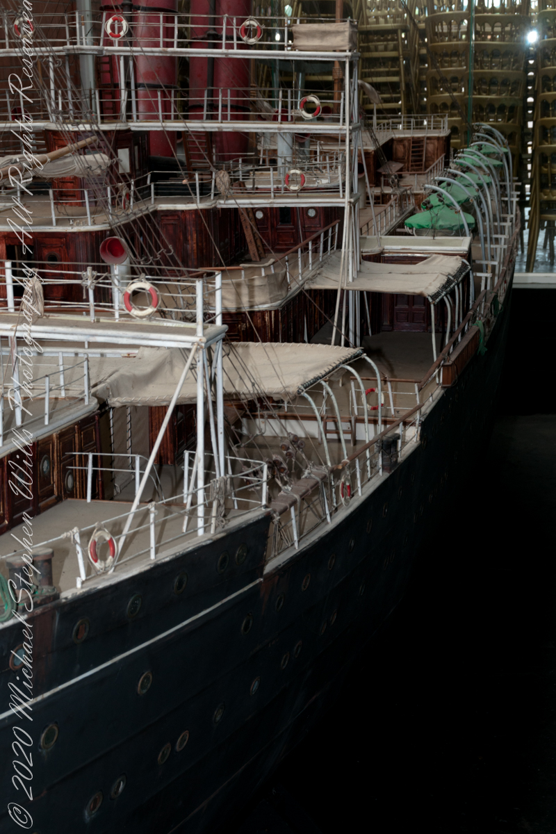
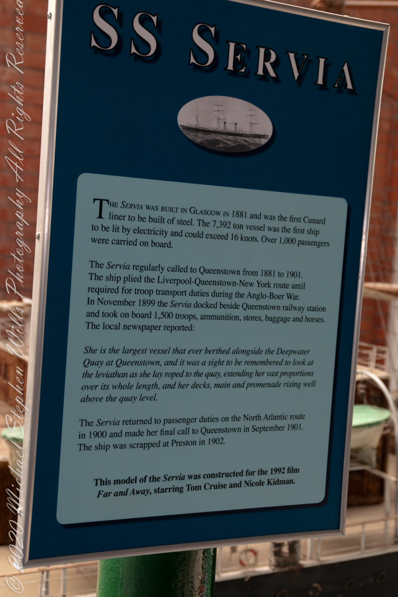
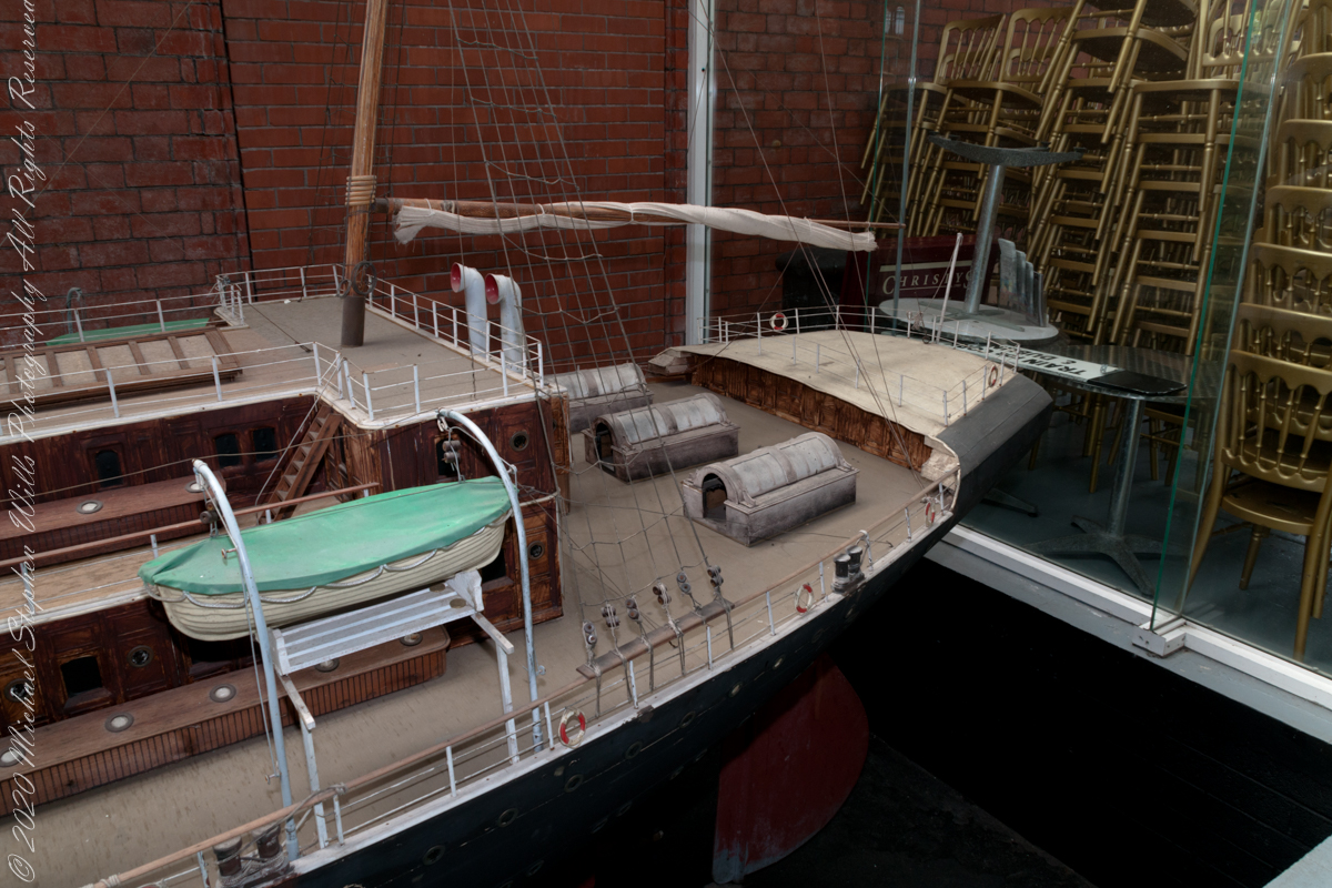
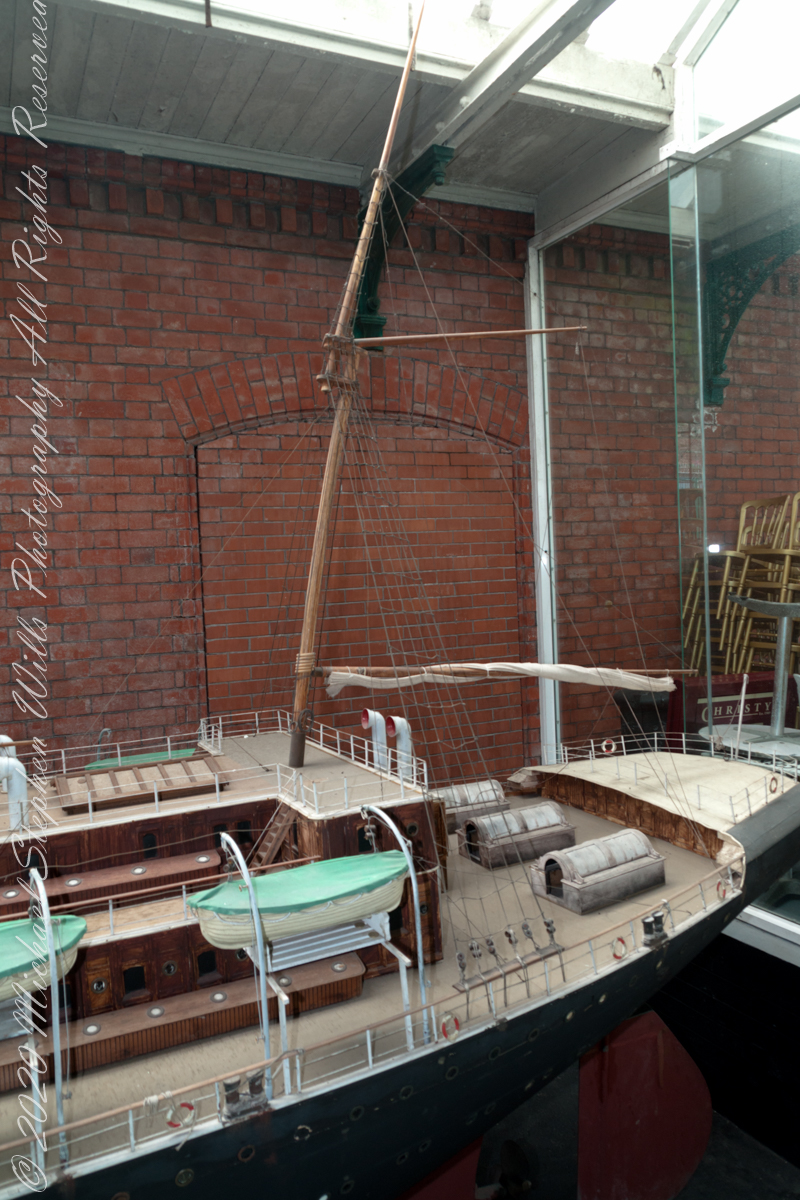
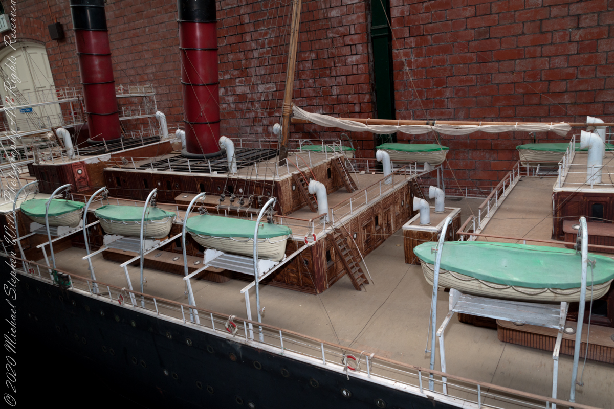
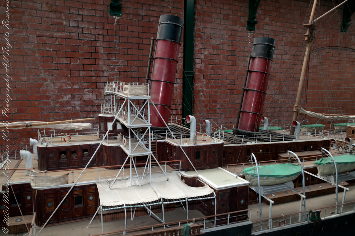
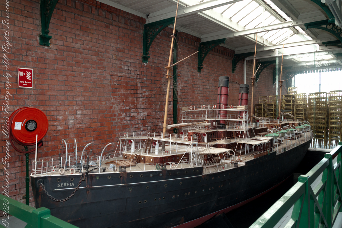
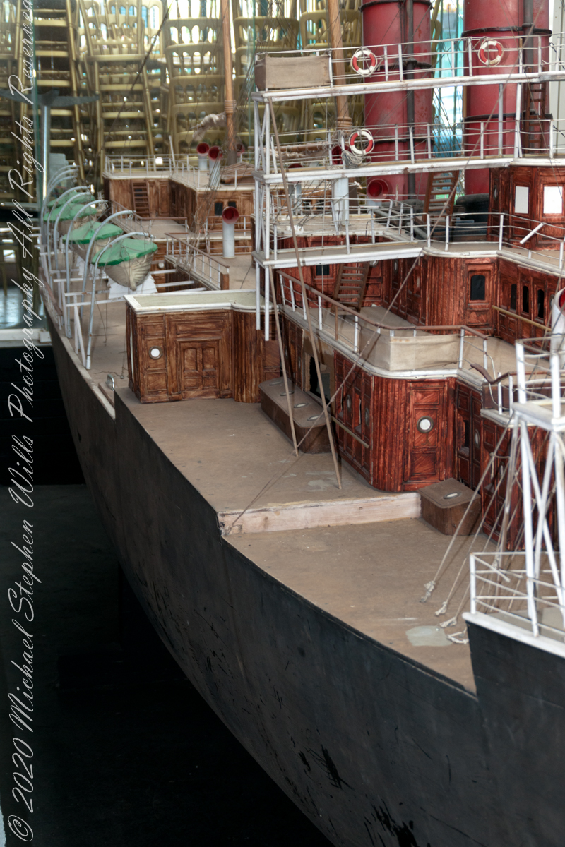
Nothing so grand as the SS (or HMS) Servia carried my ancestors from Ireland to America. This ship model, created for the 1992 film “Far and Away” is on display within Cobh Heritage Center. Said by some to be the first true transatlantic ocean liner. Launched in 1881 as luxury transportation by the Cunard Line of today’s Queen Mary. Last year, we enjoyed the arrival of Cunard’s Queen Victoria to Cape Canaveral. (Click the link for my blog of the event, one of the last cruise ships to sale during the pandemic of 2020).
It is notable the model played a small role in the film, yet is an incredible accomplishment. By the way, from 1849 to 1920 Cobh was known as “Queenstown” in honor of a visit by Queen Victoria. The Irish Free State returned the name to the original.
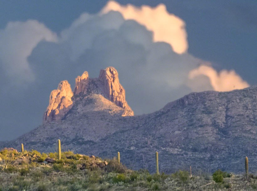
Peter’s mesa is at the center of Superstition Wilderness treasure legends. I was a member of an expedition to the top of the Mesa March 2008. This is a sunset view, looking south, southwest. Light raking across the desolation and an approaching storm behind Miner’s Needle create a fascinating spectacle. Ancient volcanism, apparent throughout the Superstition Wilderness, is here seen in the texture, form and type of rock as well as the mineral deposits. Miner’s Needle, like Weaver’s Needle (no seen in this view), are eroded volcanic summits. Look closely for the “eye” of Miner’s Needle, backlit by the storm cloud itself lit by the setting sun. To this day, hopeful prospectors search for gold nuggets around the Needle. There is one form of volcanism present today as an eerie rumble or hiss, similar to an enormous distant jet engine. We heard now and then during our two days on the mesa, louder and closer than a overhead plane could produce. The view includes many notable Sonoran desert plants. Many young Saguaro cactus are in the form of green poles and, on the rim of the ravine running left to right below the closer ridge, an excellent specimen with multiple arms. Catching the dramatic light, on the ridge is a tall single flower of an Agave, known as the “Century Plant” it flowers once in a long life and dies.
Peters Mesa is named after “Old Pete” Gottfried Petrasch, father of Hermann and Rhiney Petrasch. Old Pete worked for Jim Bark for awhile in the 1890s doing odd jobs. Irregular employment gave Pete and Sons time to s searched for the Lost Dutchman Mine in the years following the death of the source of the legend, the “Dutchman” Jacob Waltz. The Petrasches were one of the first groups to search for the mine, and gold in general. They covered almost the entire Superstition range in their combined searches.
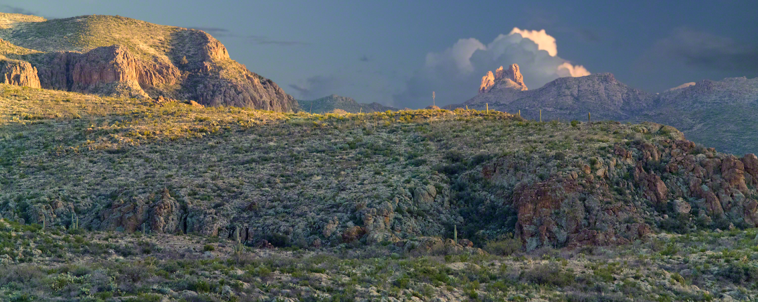
On our first day on the Mesa we came across the remains of one of these camp, on the top of Squaw Canyon. This was only deplorable junk a presumably disappointed bunch of searchers were too lazy to cart out. That March, we were lucky to find the remants of winter rains in the form of a meager trickle at the bottom of a shallow draw off Peter’s Mesa trail up from La Barge canyon. We had a good time of it until the trip was cut short by a storm front and torrential rains. We were back in Apache Junction before they hit. This panorama is from our last evening on the Mesa. As the sun set I put the Kodak DSLR with a 50 MM lens on a Manfrotto tripod and hiked a mile higher onto the mesa for a view of Miner’s Needle. I quit only after the last light was extinguished by the approaching front. My reward for persistence was this dramatic light ennobling a craggy desolation. This is a composite of several images, combined using Photoshop. I have since invested in a Canon 24 mm wide angle lens.
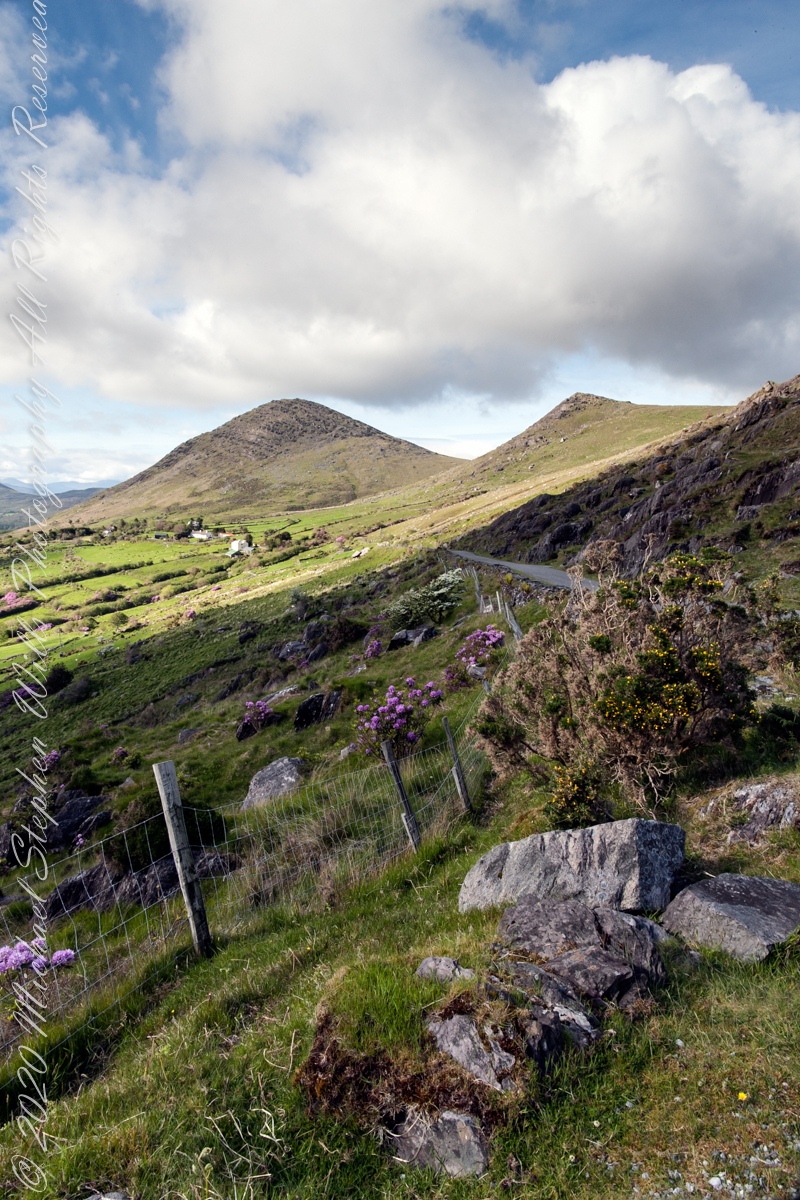
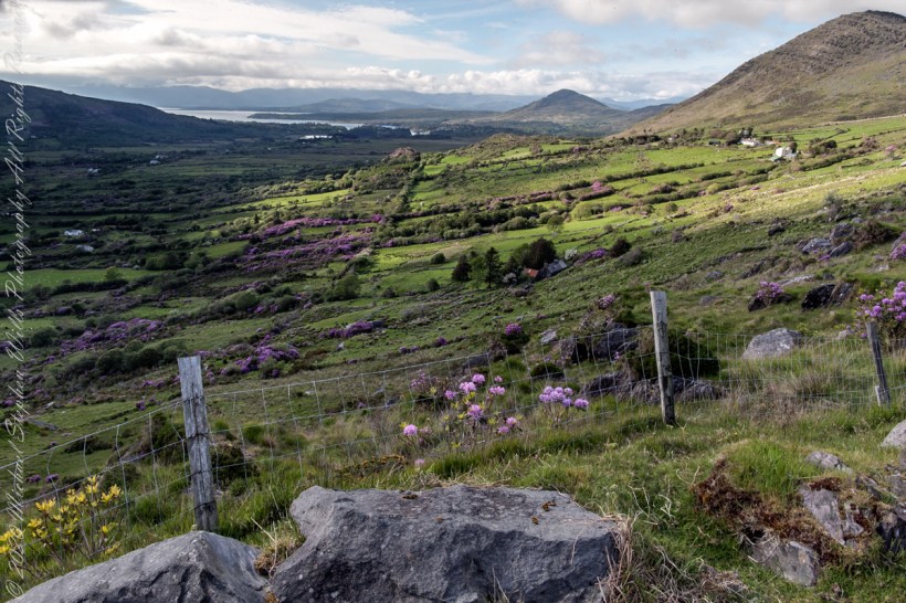
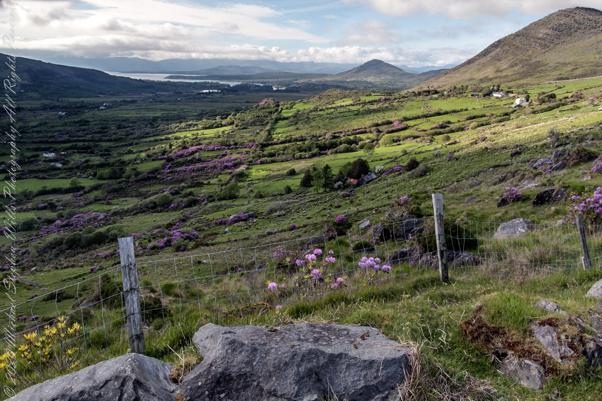
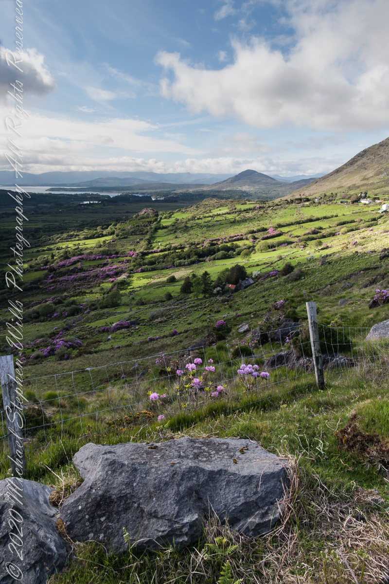
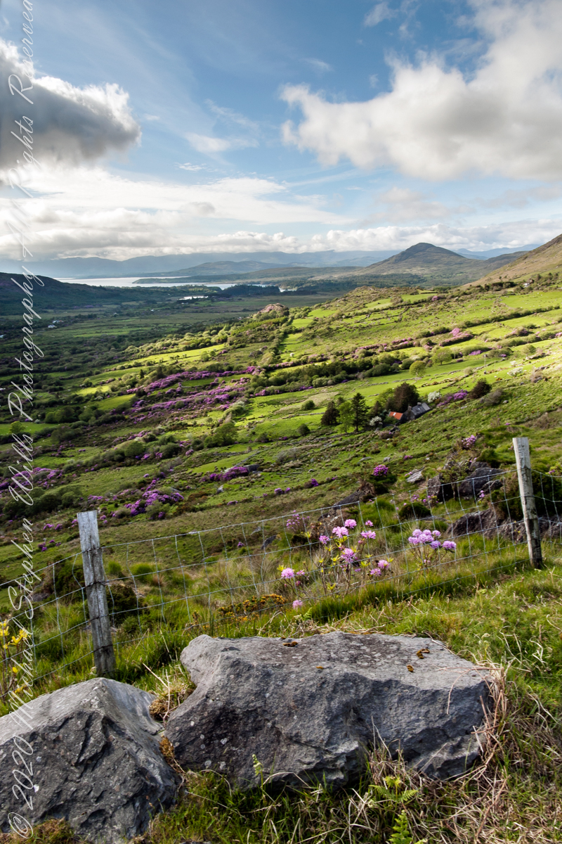
Number six of six from the Kerry County side on the descent Healy Pass, R574. Here we move away from, say goodbye (hopefully, for now) to these marvelous views, our first sight of County Kerry.
Two more strange, conical hills come into view, repeating those in the distance. These have a long story.
Beara Peninsula, Coolcreen townland, County Kerry, Republic of Ireland.
You can easily view a higher resolution versions by clicking on the photograph to open a browser tab.
Click photograph for a larger version.
Copyright 2021 Michael Stephen Wills All Rights Reserved
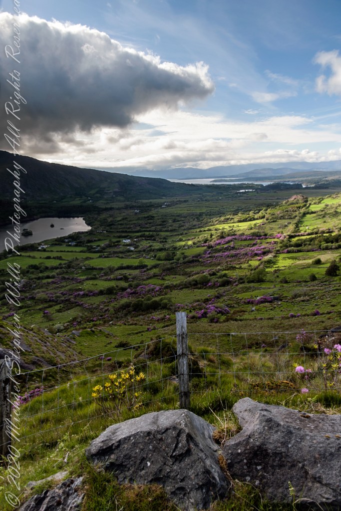
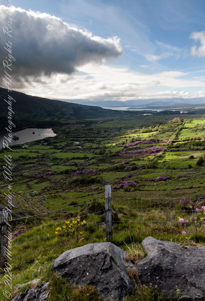
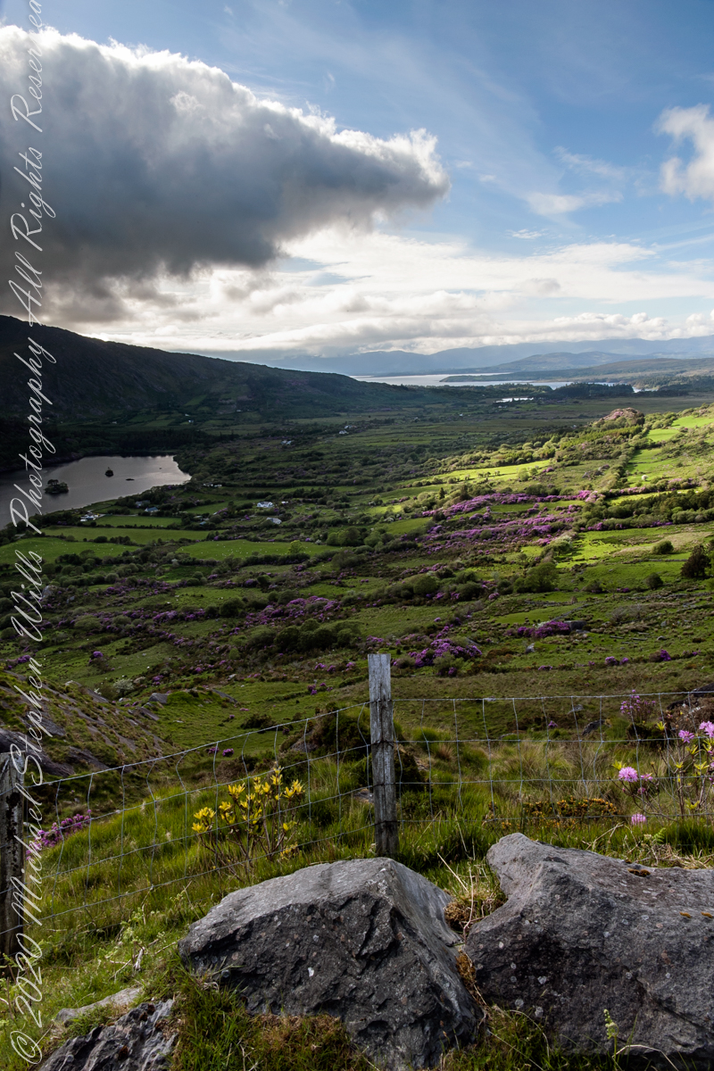
Number three of six from the Kerry County side on the descent Healy Pass, R574. I enhanced view three to level the horizon. A side by side comparison is provided, below.
Beara Peninsula, Coolcreen townland, County Kerry, Republic of Ireland.
You can easily view a higher resolution versions by clicking on the photograph to open a browser tab.
Click photograph for a larger version.
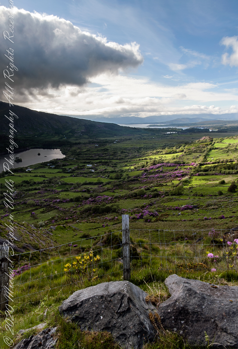
Visible from this point on R574, Healy Pass, is Glenmore Lake, the Rivers Drunminboy, Glanstrasna flowing into a sheltered inlet of the Atlantic Ocean. In 1911, the Irish National Census lists nineteen (19) persons of five (5) families listed with the names O’Sullivan, Sullivan and Shea. From this view this is a puzzle until the map is examined. The land transitions from this rock to a steep, then leveling slope down to Glanmere Lake and a stream running from the heights with plenty of reasonably level, fertile acreage. There is a glimpse of a lake. Like many of the Irish place names, Glenmore Lake has a connection to the Irish Language name, Loch an Ghleanna Mhóir. Roughly translated the name means Large Lake of the Glen. The names in use today, in English, are derived from the sounds of the Irish. It happens the Irish Ghleanna sounds link Glen (or in another version, Glan, roughly the same). Beara Peninsula, Coolcreen townland, County Kerry, Republic of Ireland.
Copyright 2021 Michael Stephen Wills All Rights Reserved
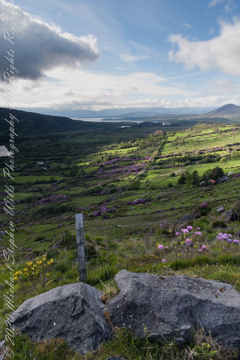
Number four of six from the Kerry County side on the descent Healy Pass, R574. Here I turn the camera on the Manfrotto studio tripod with hydrostatic ball head to the original view, a little less lit with a better leveling of the horizon.
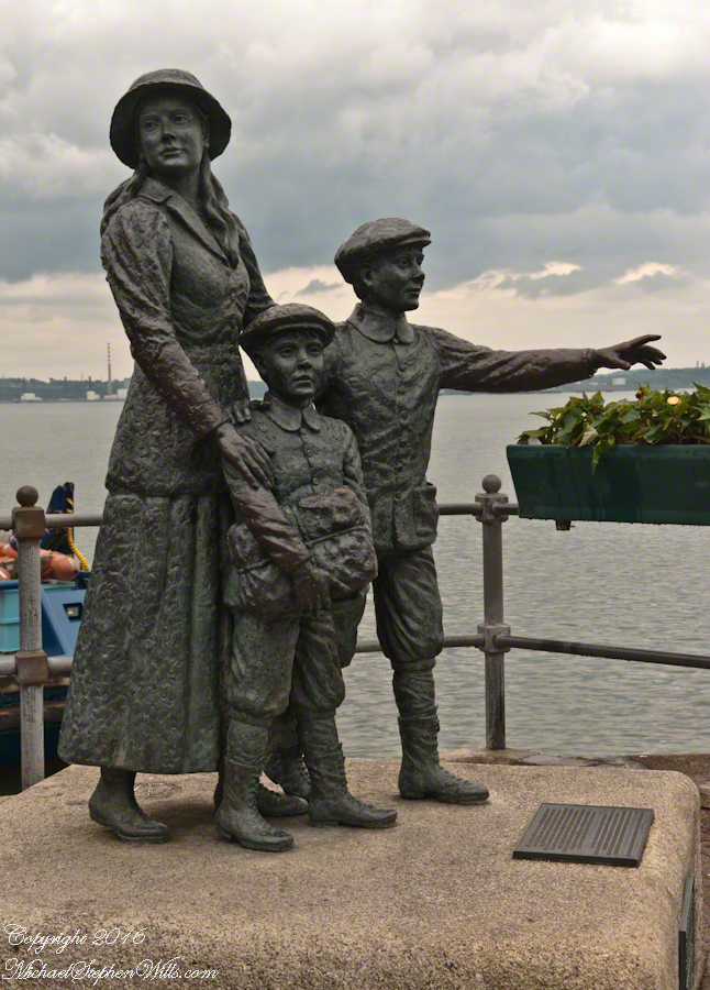
On May 29, 2014, Pam and I had the emotionally moving experience of visiting the Cóbh Heritage Centre. This statue stands outside the centre, on the quay from which thousands of Irish emigrated from what was then Queenstown. My father’s mother, Elizabeth Wills née Duffy, departed from here on April 28, 1898.
These are the words on the plaque:
‘Annie Moore and her brothers, Anthony and Phillip, embarked from this town on December 20, 1891, on the S.S. Nevada. Annie was the first person to be admitted to the United States of America through the new immigration center at Ellis Island, New York, on January 1, 1892. This sculpture was unveiled by the President of Ireland, Mary Robinson, on February 9, 1993. It was erected by Cóbh Heritage Trust Ltd. and is dedicated to all who emigrated from Ireland. This sculpture won the Zeneca Ireland Ltd. Commemorative Sculpture Award. A statue of Annie Moore was also erected at Ellis Island, New York. The commemoration of Annie Moore at New York and at Cóbh was initiated by the Irish American Cultural Institute. This sculpture is the work of Jeanne Rynhart of Bantry.'”
Number three of six from the Kerry County side on the descent Healy Pass, R574. I turned the camera a few more degrees into the gathering darkness, under the cloud, for an almost complete view of Glanmore Lake.
Number two of six from the Kerry County side on the descent Healy Pass, R574. The dynamic range is a photographic challenge: the scene darkens as a cloud covers the westering sun, I turn the camera toward Glanmore Lake. The large, distant water is a bay on the North Atlantic named for the city at the foot, Kenmare.
Beara Peninsula, Coolcreen townland, County Kerry, Republic of Ireland.
You can easily view a higher resolution versions by clicking on the photograph to open a browser tab.
Click photograph for a larger version.
Copyright 2021 Michael Stephen Wills All Rights Reserved
Number one of six from the Kerry County side on the Healy Pass, R574, descent. You can see the turnout we are using on the road below in this photograph Kerry View Seven. We have not travelled far, still in Coolcreen townland.
There is a fort in Beale and it is supposed to be the principal resort of the fairies. One day as two men were drawing hay from Slios near Caill na calman, one went through the fields as it was shorter than to go by the road, and his brother drove the horse by the road to Slios. As he was passing this fort, a little boy came out of it and ran after the car and sat into it. When they were gone a short distance he offered the man some sweets but he refuse to take any. None of them spoke anymore until they arrived in Slios. Again the little boy offer the sheets to the second man who went through the fields. But his brother went behind the little boy’s back and grinned at the other man not to take the sweets, because he was about to take them. At this the little boy went into the fort and they saw him no more. Background: a fort, or rath, is a grassy, round mound. By emerging from the rath, the boy is identified as one of the Others (“fairies”). Accepting and consuming a foodstuff or beverage from the Others puts a human under their control. The second man did not know where the boy came from and was warned away by his companion, otherwise the story would be much longer.
Beara Peninsula, Coolcreen townland, County Kerry, Republic of Ireland.
You can easily view a higher resolution versions by clicking on the photograph to open a browser tab.
Click photograph for a larger version.
Copyright 2021 Michael Stephen Wills All Rights Reserved