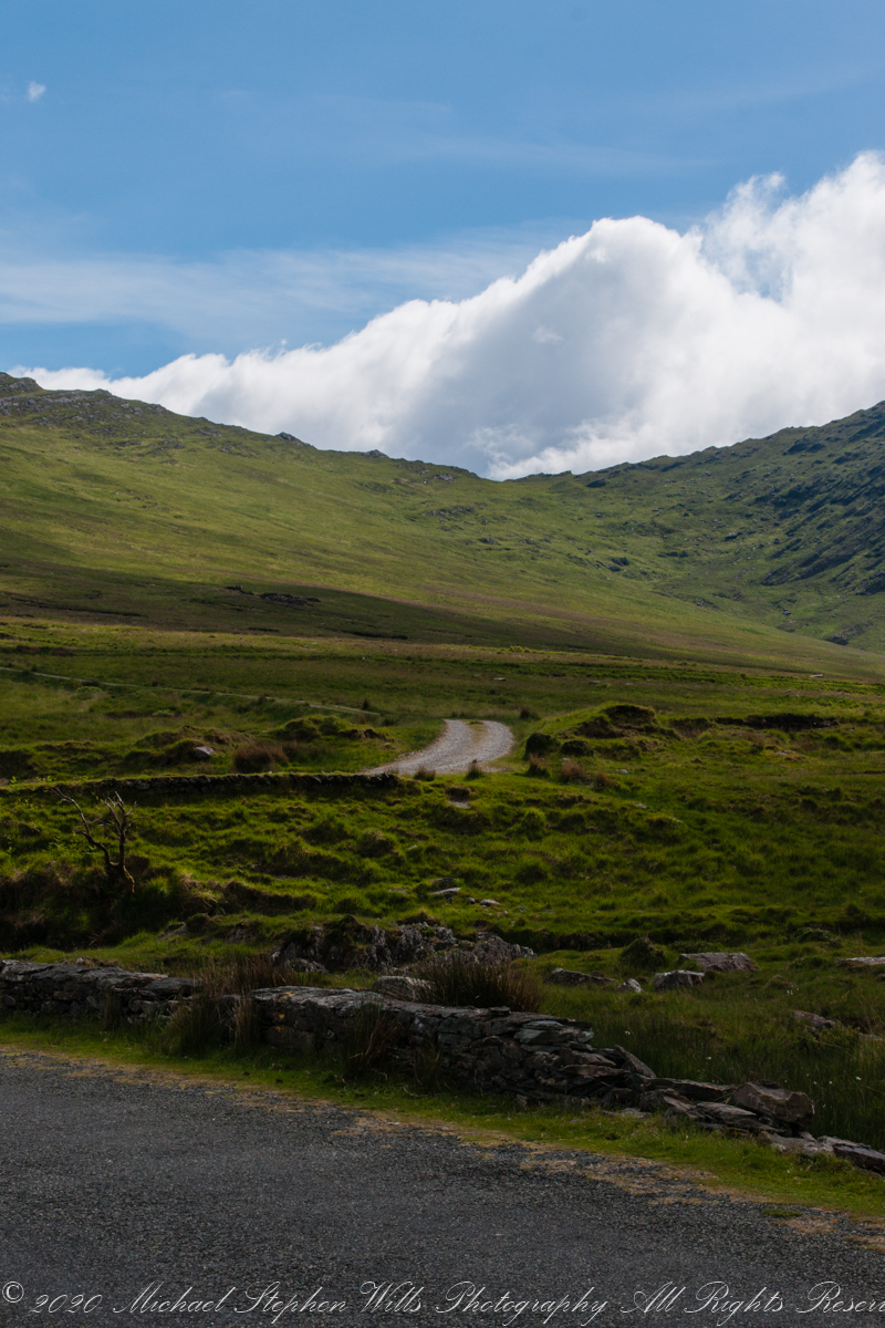
Steepening terrain, switchbacks come into view as we proceed on Healy Pass.
Copyright 2021 Michael Stephen Wills All Rights Reserved

Steepening terrain, switchbacks come into view as we proceed on Healy Pass.
Copyright 2021 Michael Stephen Wills All Rights Reserved
Around the Road
Near
and far
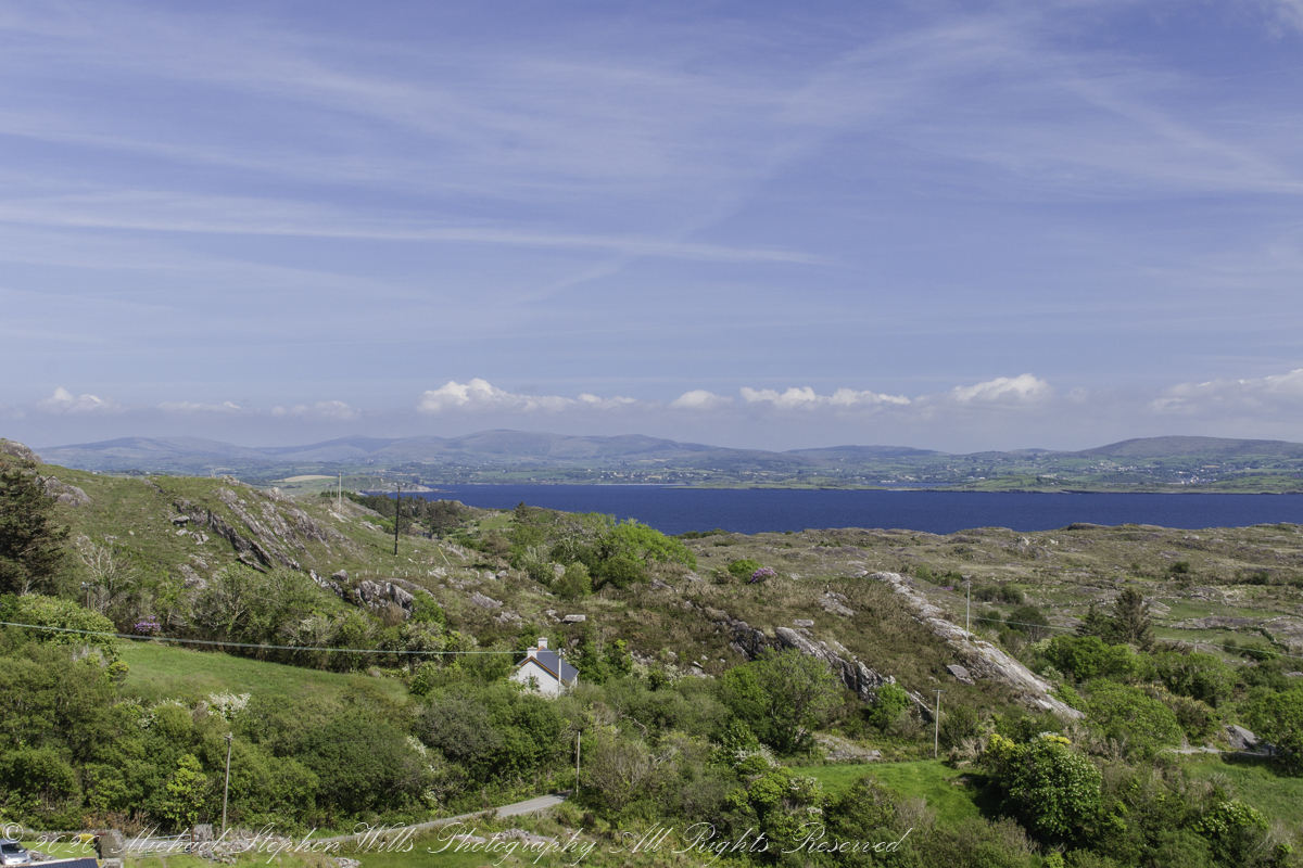
Inchintaglin is the townland name, the land is two mountains, the near ending with the above ridge, in the northeast. When the road breaches below the ridge the land beyond opens up.
Copyright 2021 Michael Stephen Wills All Rights Reserved
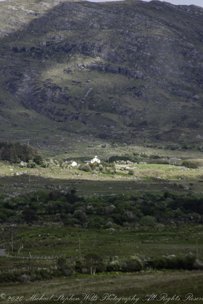
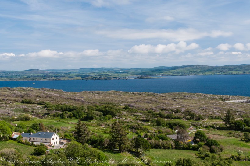
Views of four townlands
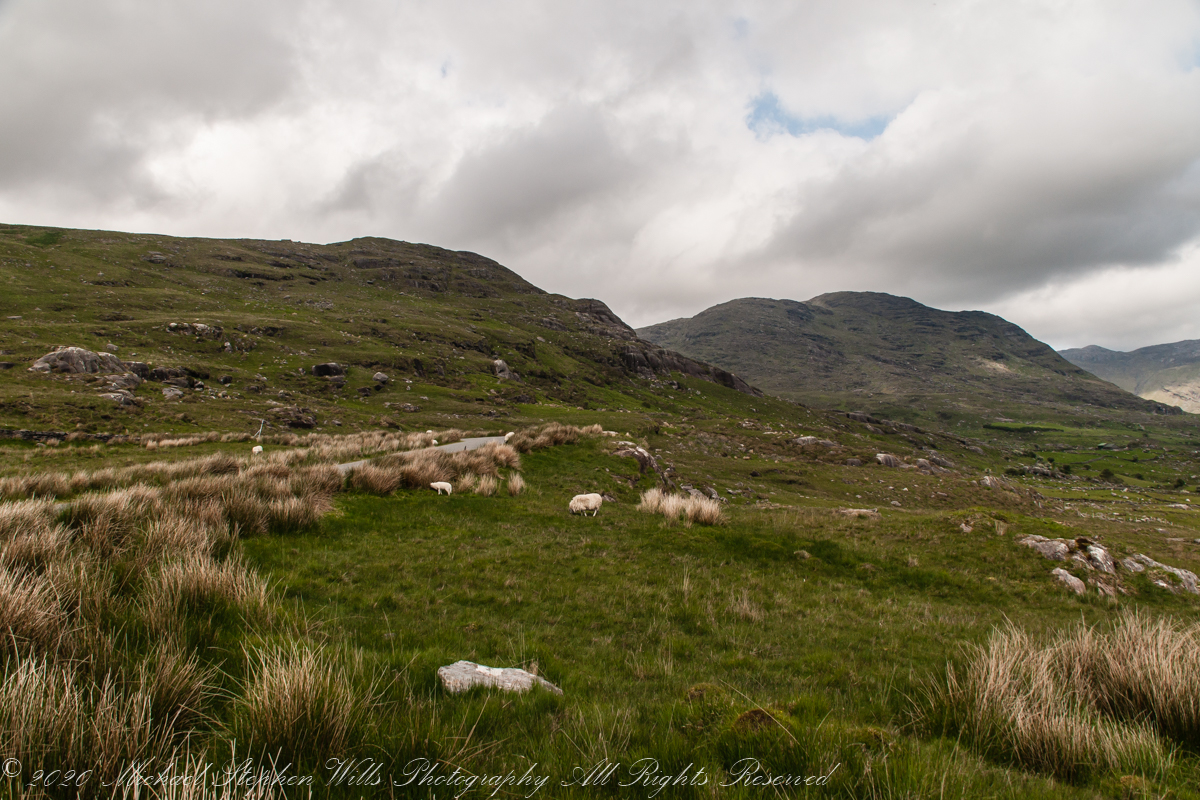
Healy Pass, R574, ascends along lower slopes of Adrigole Mountain (AKA Hunger Hill). We passed several roads descending to this valley, providing access to farms. Four townlands are in view, the Irish language name in parenthesis: Kilcaskan (Cill Chascann), Dromgarvan (Drom Garbhain), Canshanavoe (Ceann Seanbhoith), and Inchintaglin (Inse an tSeaglainn), where I stand.

O’Sullivan is the most common surname of Beara Peninsula. Here is a biography of one O’Sullivan born Inchintaglin townland (you’ll need to read Irish or translate the page): O’SÚILLEABHÁIN, Francis (1889–1956).

Copyright 2021 Michael Stephen Wills All Rights Reserved
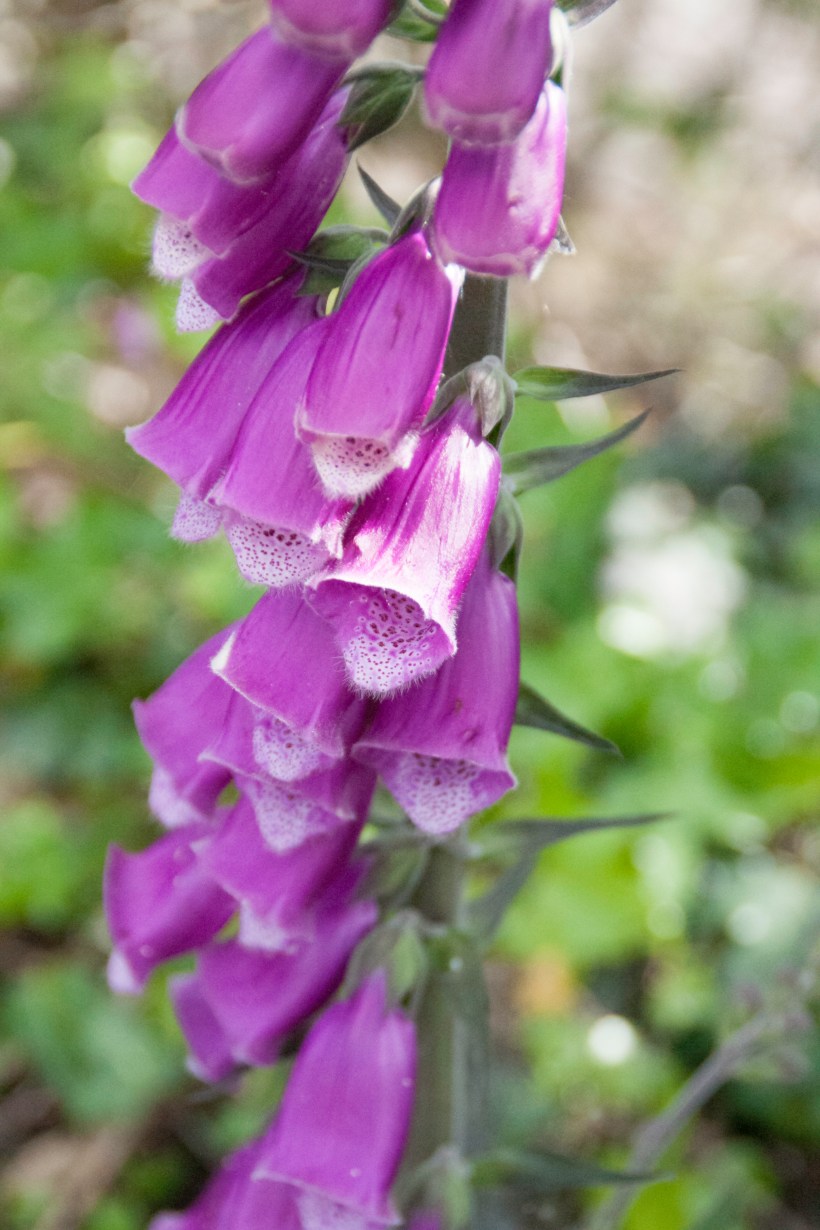
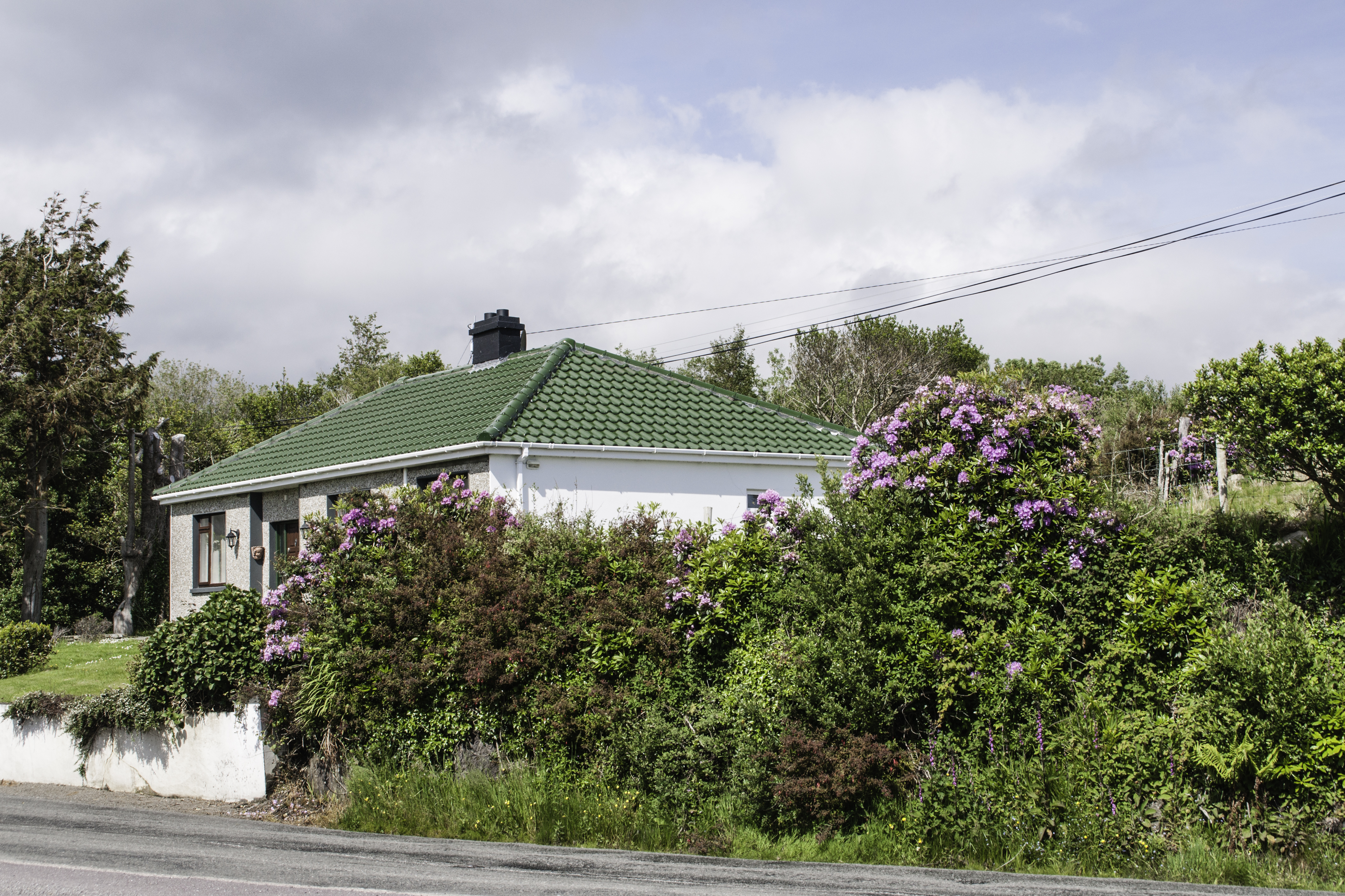
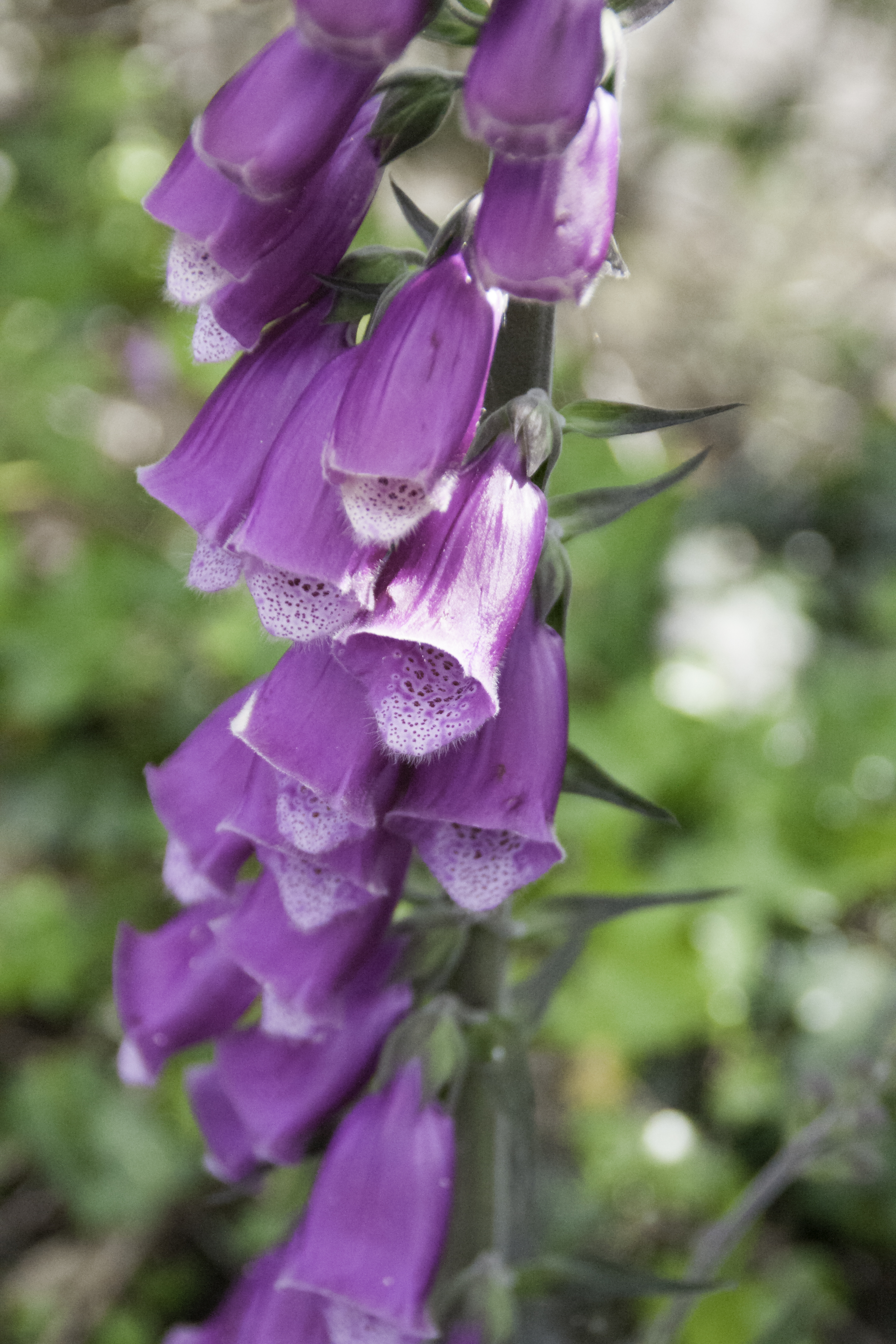
Rhododendron
and Foxglove
Continuing from yesterday’s post, on R572, before turning onto Healy Pass (R574) at Adrigole we stopped to take in this fine rhododendron bank. The massed bloom and color struck us. Happily, after there rhododendron became common.
Later, we were told the plant was considered invasive and needed control.
I turned around and foxglove was right there.
Copyright 2021 Michael Stephen Wills All Rights Reserved
Strand of the Stone Fort
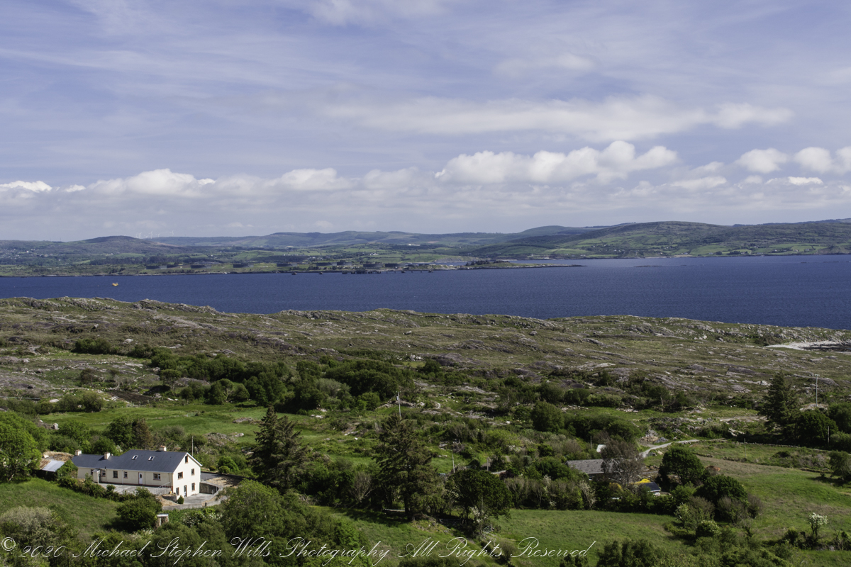
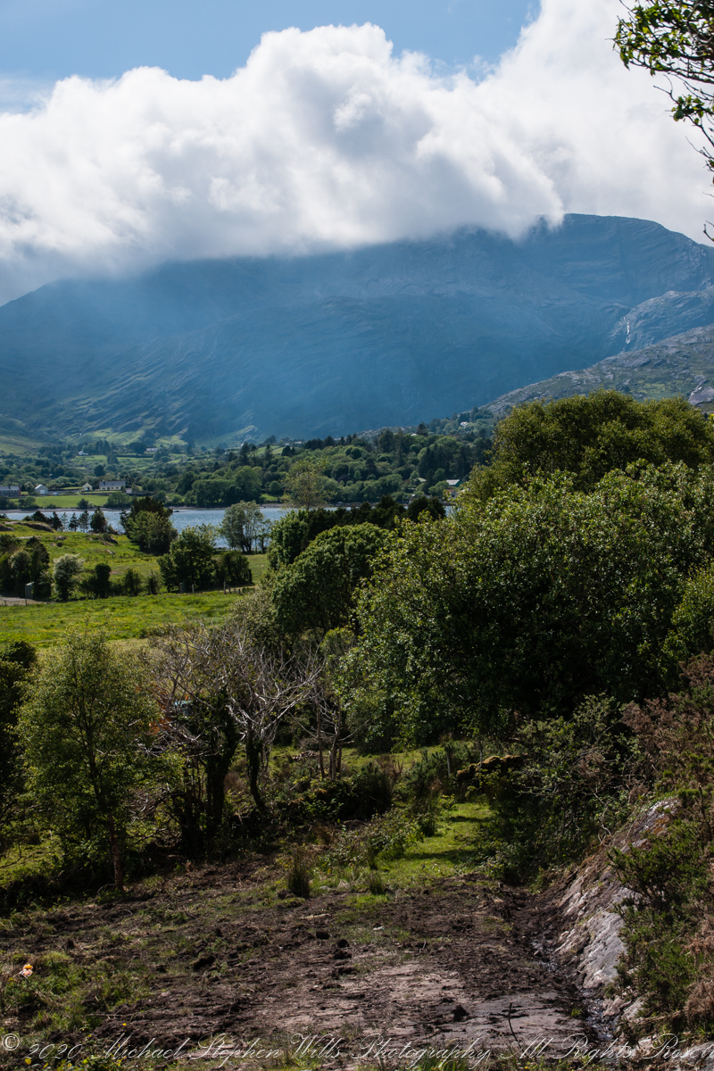
Our introduction to Beara peninsula was a turn onto R572, Sugarloaf Road, from Glenarriff, drive a few minutes to encounter this view view. So stupendous, we parked on a convenient turnoff. The Irish name for the townland is Thrá Chaisil, Tracashel in English. The meaning is “Strand of the Stone Fort.” A prosaic name is “Stone Fort Beach.” Here we look across Bantry Bay,
The location, lost for years, was rediscovered from this photograph. A signed place name. An unmapped place name, surprisingly.
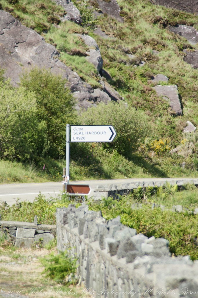
Using date/time stamps, working backward from the Adrigole photograph of yesterday’s post, I used the Google Maps to navigate the route from Glenarriff to find the sign post and turnoff. The harbor in question (“Cuan” is Irish for bay) is named for the adjacent townland, Coolieragh, “An Chúil Iarthach” in Irish, translated as “Western Nook.”
The non-existant “Seal Harbor” is a hopeful renaming by some entrepreneur.
Another view across Bantry Bay.
Copyright 2021 Michael Stephen Wills All Rights Reserved
Famine Road
Driving the Beara Peninsula of western County Cork Pam and I were lucky enough to encounter a famine road traversing the Healy Pass. Formerly known as Kerry Pass, renamed in honor of Timothy Michael Healy, the first Governor-General, Irish Free State when the road was improved in 1932 shortly after his death. In Irish the name is Bealach Scairte.
Built by workers from the starving poor during the Potato Famine of the 19th century, one of the government projects to provide relief and improve infrastructure. This photograph is from where Healy Pass, R574, begins from the town Adrigole, County Cork. The mountain is the highest of the Caha Mountains of the Beara peninsula, is known by several names: “Adrigole Mountain,” “Hungry Hill,” “Cnoc Daod,” “Knockday,”j and “Knockdhead.” “Hungry Hill” is also a 1943 novel by Daphne du Maurier, thought to be set on the Beara peninsula.

The water is the Adrigole River.
References
Wikipedia articles for “Timothy Michael Healy” and “Healy Pass.”
Copyright 2021 Michael Stephen Wills All Rights Reserved
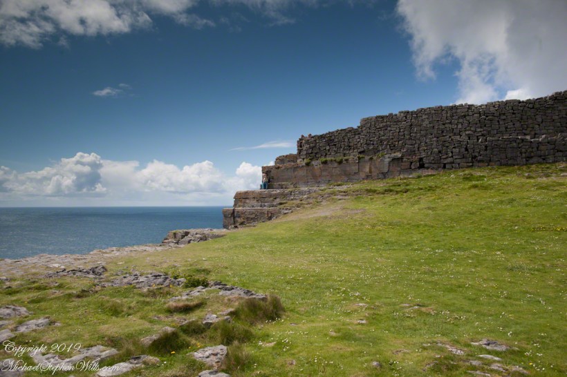
An abrupt emptiness
Here is the east side of the inner enclosure wall of Dun Aonghasa (Dun Aengus) where it ends at a cliff edge over the Atlantic ocean.
Visible are the last 60 feet or so of the limestone strata supporting the inner ring.
When first constructed, the inner ring was complete, the western side 1,000 feet from the cliff.. Today’s form of a semi-circle was created by nature when the force of Atlantic Ocean waves eroded the cliff, undercutting the strata.
Look close to see a fracture where the next block of limestone will fall into the waves.
Wishing a blessed All Saints Day (November 1st) for all my readers.
Reference: wikipedia Dún Aonghasa, Sea Campion
