Starting from the First Water Trailhead, the Dutchman trail leads over Parker Pass into a large basin at which the branches, East and West and Little, of Boulder Canyon meet.
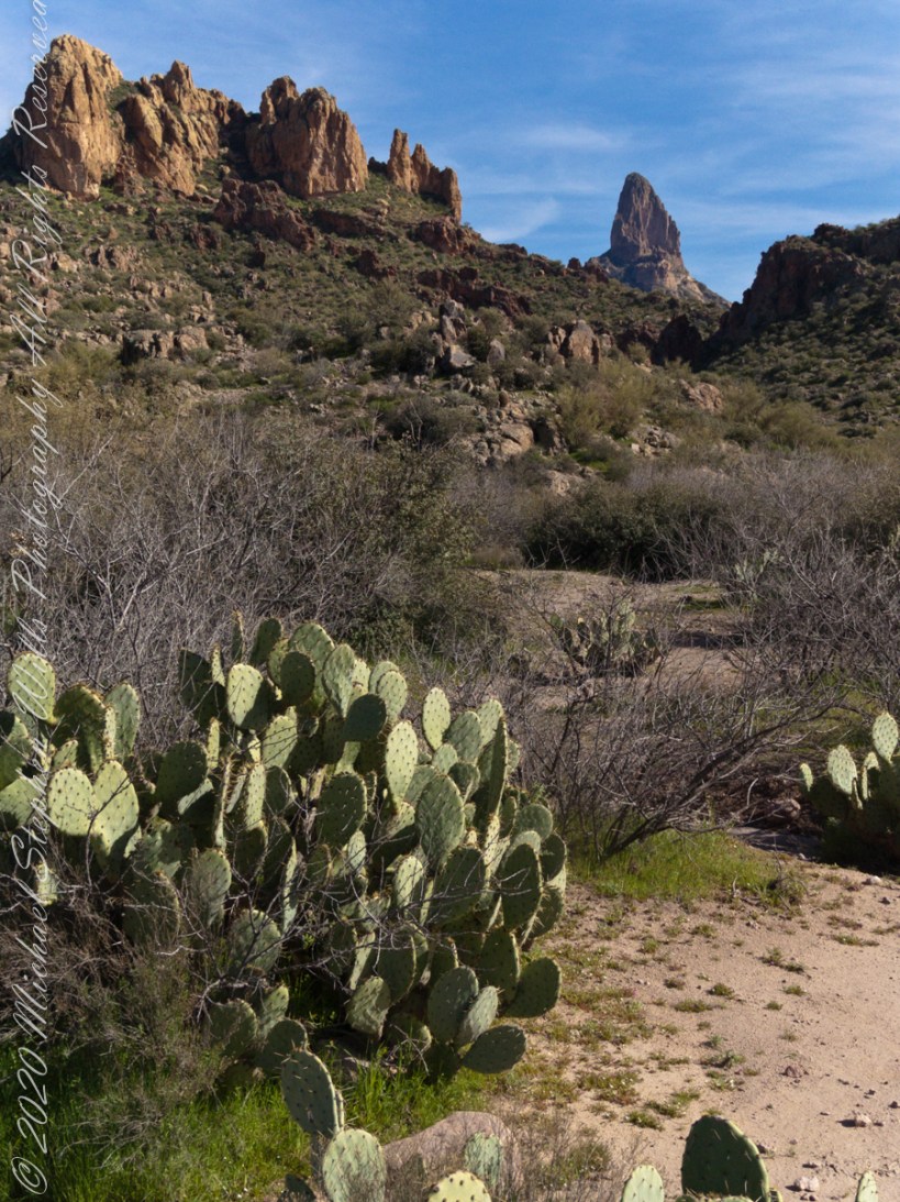
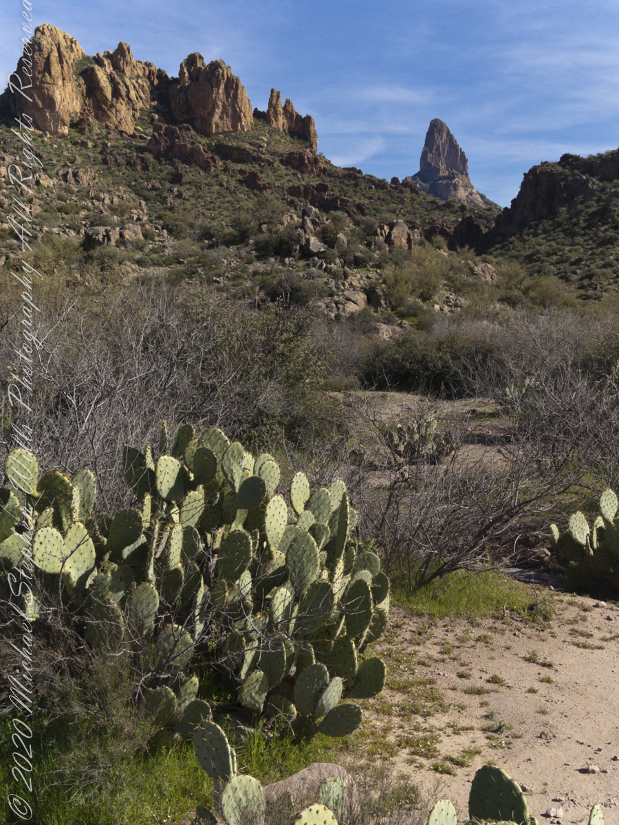
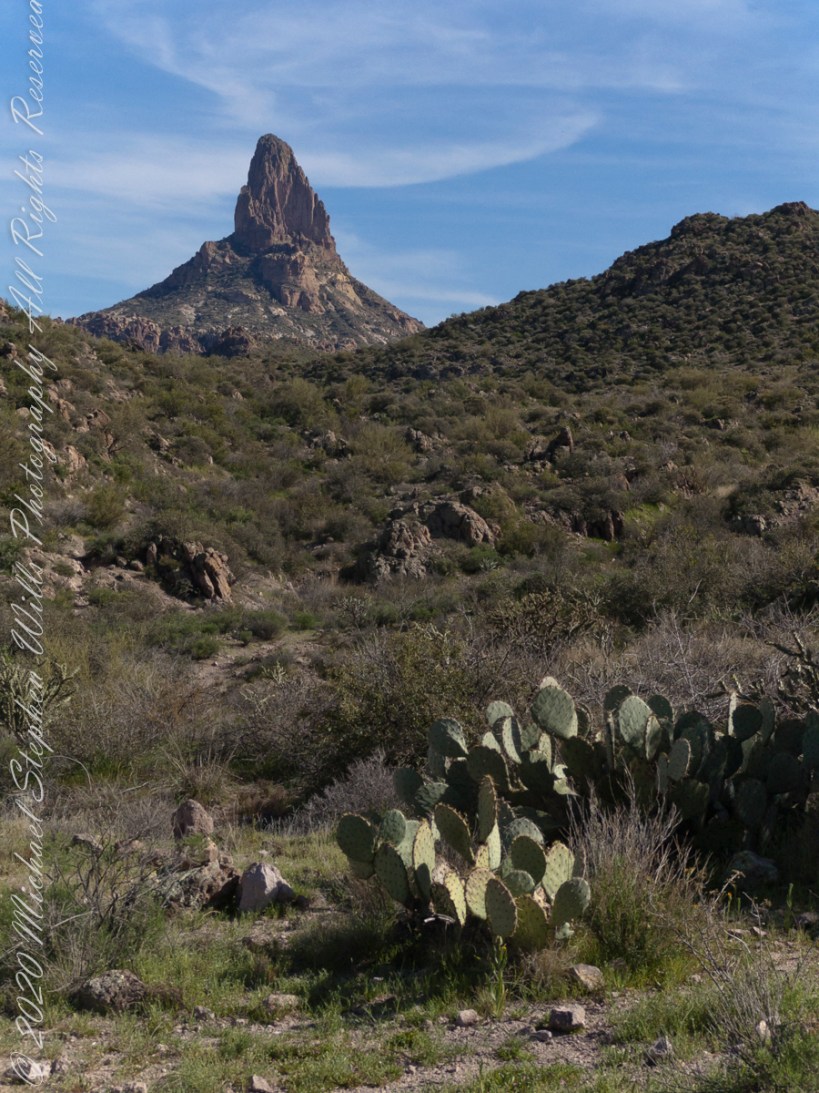
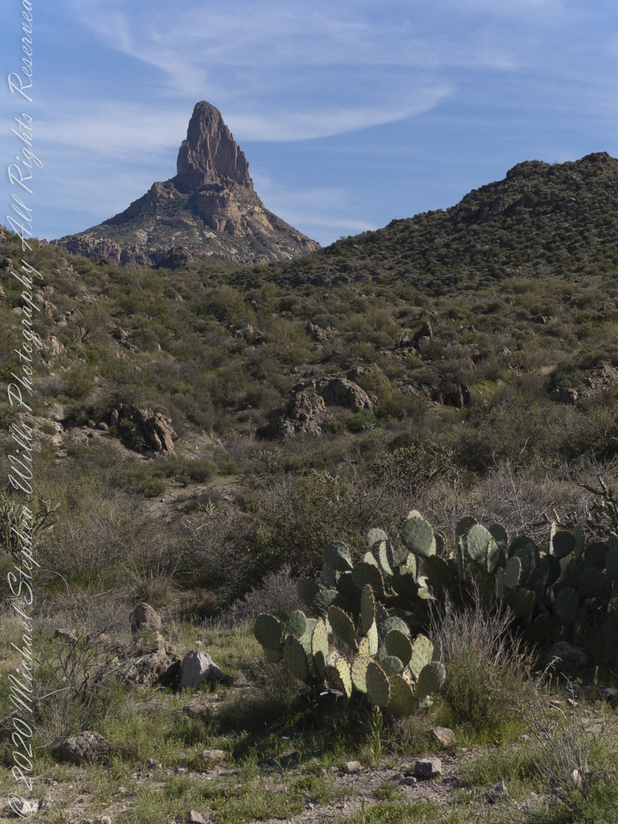
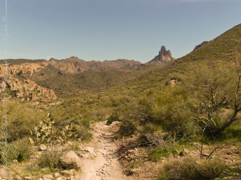
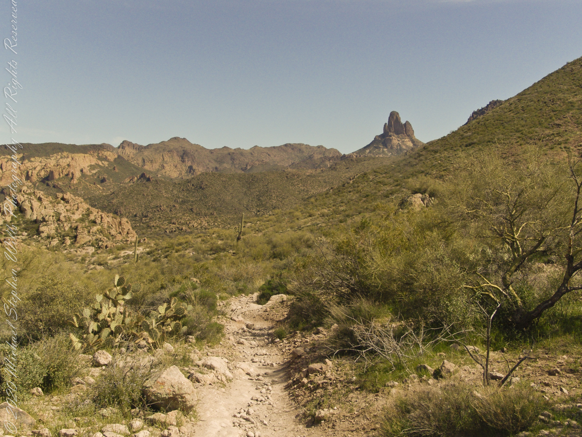
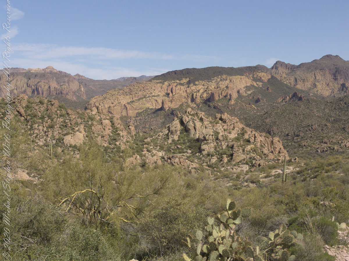
This southeast view is from the widest portion of the basin. You are looking toward Palamino Mountain and the top of Weavers Needle. There’s a path in there up to that Palamino Mountain ridge, note the hoodoos on right.
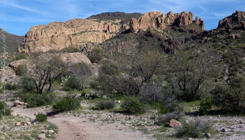
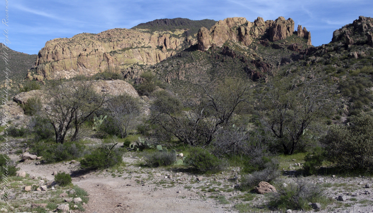
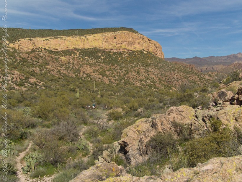
Dutchman Trail turns right up ahead to proceed between Palamino Mountain and Black Top Mesa, both shown in this photograph. The ridge of the mountain reminds some of a horse and there is an arch, Aylor Arch, on the southern side: here was approach the north side. Aylor is the family name of gold prospectors who set up camp on that south side close to where we will spend the night below Weavers Needle.
View of Palamino Mountain and Black Top Mesa from Dutchman’s trail.
Black Top Mesa is named for a layer of black basalt. Look closely to see the crags on the mesa (the flat-topped mountain) are black. Gold prospectors who combed Black Top Mesa over the years found not one speck of gold.
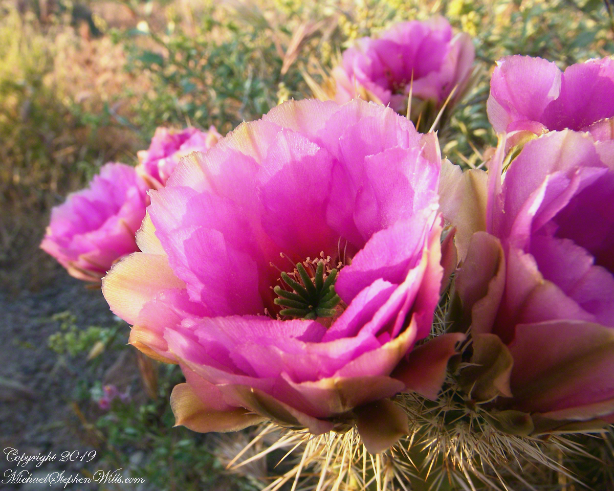
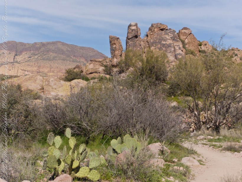
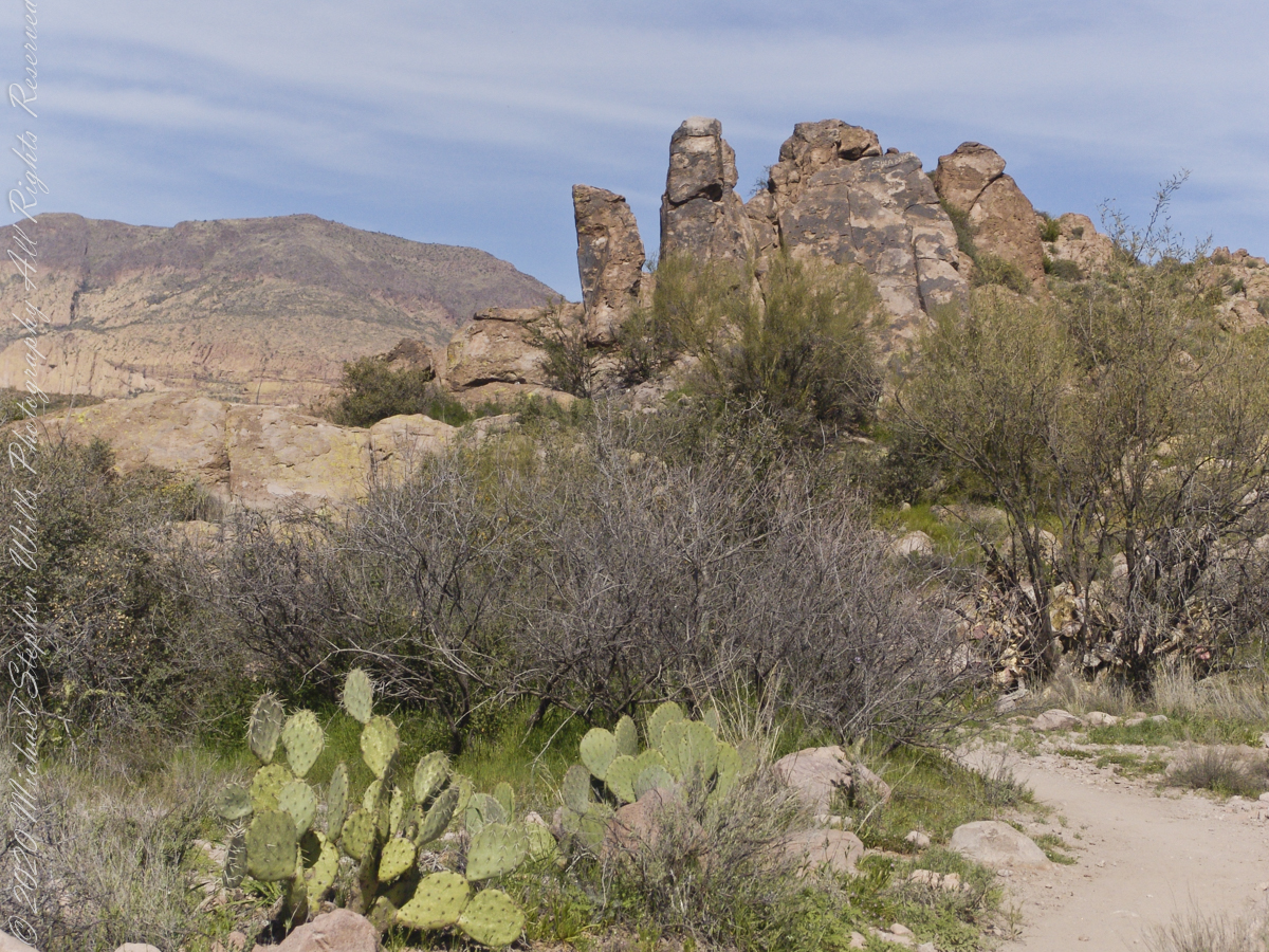
Prickly Pear cactus is in foreground. In season these produce magnificent flowers, see below.
Prickly Pear flowers at the Arizona-Sonoran Desert Museum outside of Tucson, Arizona
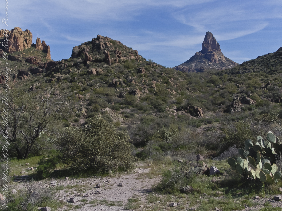
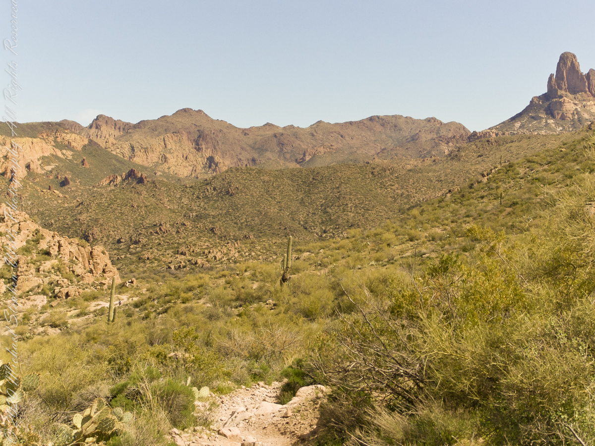
East by Southeast a low ridge forms the west side of the canyons above which Weaver’s Needle looms. “Weavers Needle has played a significant role in the stories of the Lost Dutchman’s Gold Mine. The Needle’s shadow reportedly indicates the location of a rich vein of gold, and many treasure hunters have searched for it. The hunt for gold around Weavers Needle has been pursued by hundreds (possibly thousands) of people. Weavers Needle has a large split in the side that makes it look like it has two tops, not one. This can only be viewed from the side.” — wikipedia
To the far left is Palamino Mountain.
Reference: wikipedia “Weavers Needle”
Copyright 2022 Michael Stephen Wills All Rights Reserved
The Dutchman trail curves around this rocky outcrop on the east side of O’Grady Canyon, on the left are two hoodoos, on the right side a vandal has defaced the rock. Prickly Pear Cactus in foreground. Malapais Mountain, in distance. Malapais is from the Spanish term Malpaís, meaning badlands.
Signs and wonders, such as this mysterious “S”, lure people into the Superstitions. Two years after our expedition, July 2010, three men set out from First Water trailhead on a quest for Superstition Gold, never to be seen again. Unprepared for the summer heat, the skeletons of two found January 2011 on the slopes of Yellow Peak, a straight-line mile from this location.
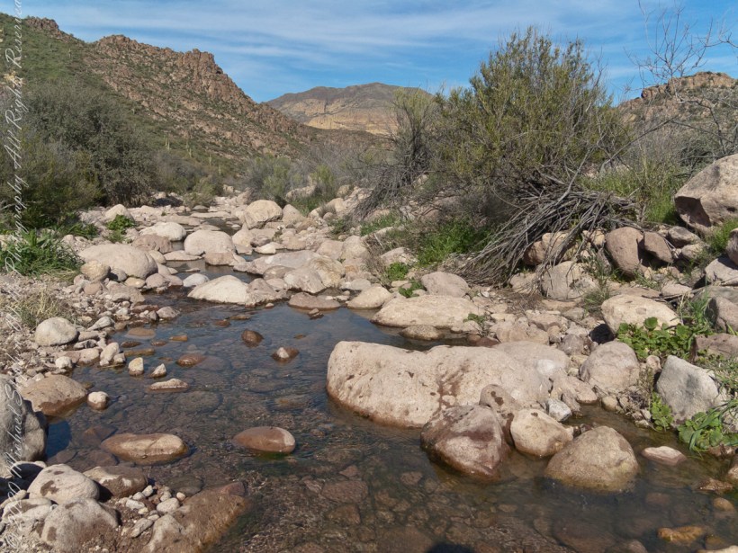
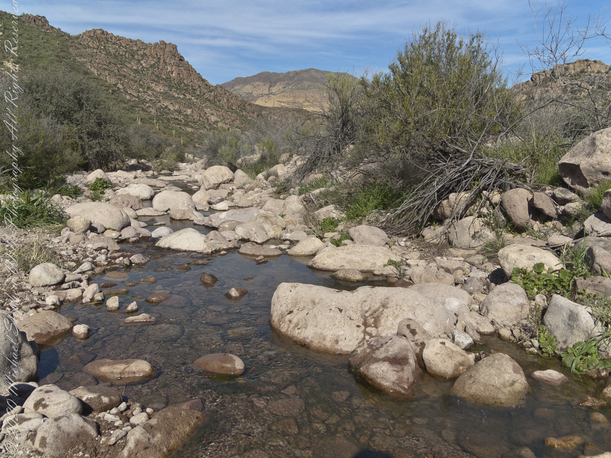
The blessing of desert water flows through a portion of West Boulder Canyon known as O’Grady Canyon, named after “Rattlesnake” Tim O’Grady who prospected the area mid-Twentieth Century.
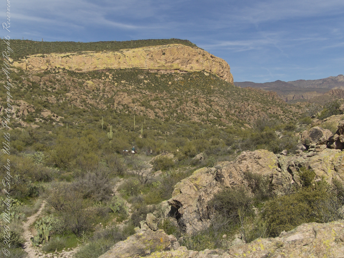
Even more so as this is an intermittent flow, dry boulders offer no solace in dry seasons. In the distance, beyond a Black Mesa ridge studded with Saguaro cactus, is Malpais Mountain (Spanish, “Bad Country”). Closer, on the right, is the ridge of Palamino Mountain.
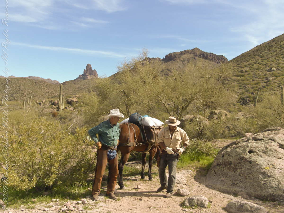
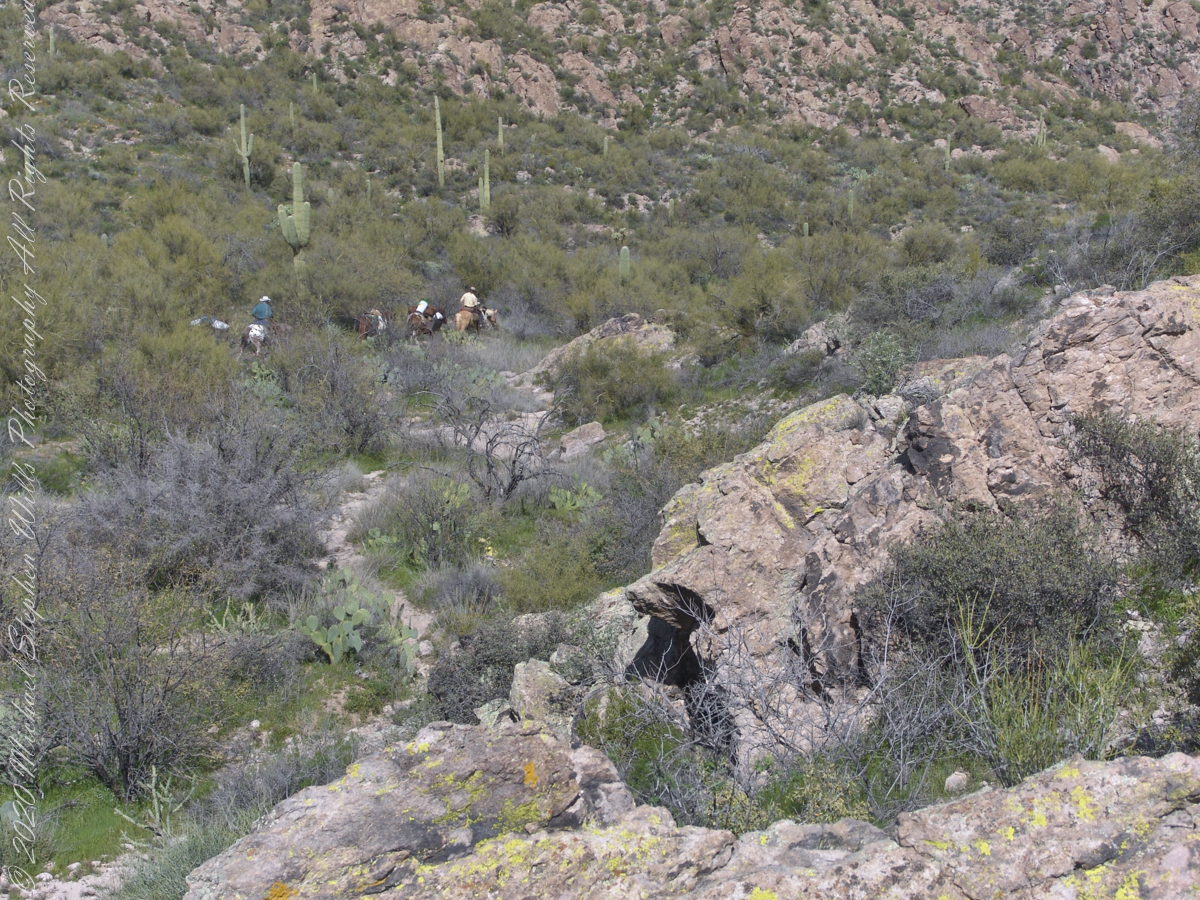
Fourteen years later, using GoogleEarth, I deduce the location to be 33°27’19.39″N , 111°24’38.58″W. After the horse party proceeded, I stayed behind to record them.
….as well as the surroundings. The geological formation is the escarpment of Black Mesa above O’Grady Canyon.
The name O’Grady Canyon piqued my interest, so I poked around the internet and found this posting from Tom Kollenborn, a well-known authority on the Superstitions.
“I was told Tim O’Grady prospected the area for about twenty-five years before moving to Washington. He was a well known character around Apache Junction from about 1945 – 1980. There are other interesting stories about Tim. I visited with him several times on the old First Water – Charlebois Trail in the late 1950’s and early 1960’s when I worked for the Barkley Cattle Company.
Tim’s Saddle was named after “Rattlesnake” Tim O’Grady a prospector who searched the Superstition for the Dutchman’s Lost Mine in the 1950’s and 1960’s. O’Grady Canyon is also named after him. The story goes something like this. A USGS map crew was working in the area around Parker Pass in the early 1950’s and came across this old white bearded prospector. They ask him about several landmarks in the area and their names. He pointed to a saddle and said that is Tim’s Saddle and the canyon on the right is O’Grady Canyon. They talked for a while about other landmarks and finally ask the old prospector for his name. He looked at them politely and said he was Tim O’Grady. The last I ever heard of “Rattlesnake” Tim O’Grady was he moved to Washington. He was 87 at the time.
Summer was the season for our visit to the edge of eternal, for now, Patagonian ice fields. Remnants from the last ice age, larger than some (small) countries. The site is surprisingly noisy with sharp, explosive, ice crackles.
More amazing even than the sounds, the dark shading on the ice is volcanic dust from recent eruptions of many cones
My party is out of sight, Parker Pass seems no closer, Weaver’s Needle looms 3.1 miles away over several ridges.
A sole day hiker is on the trail ahead. I carried a gallon of water with a siphon pipe, so was taking sips every so often and becoming dehydrated anyway. Ahead is the ridge of Parker Pass, the pass is the green slant of land on right.
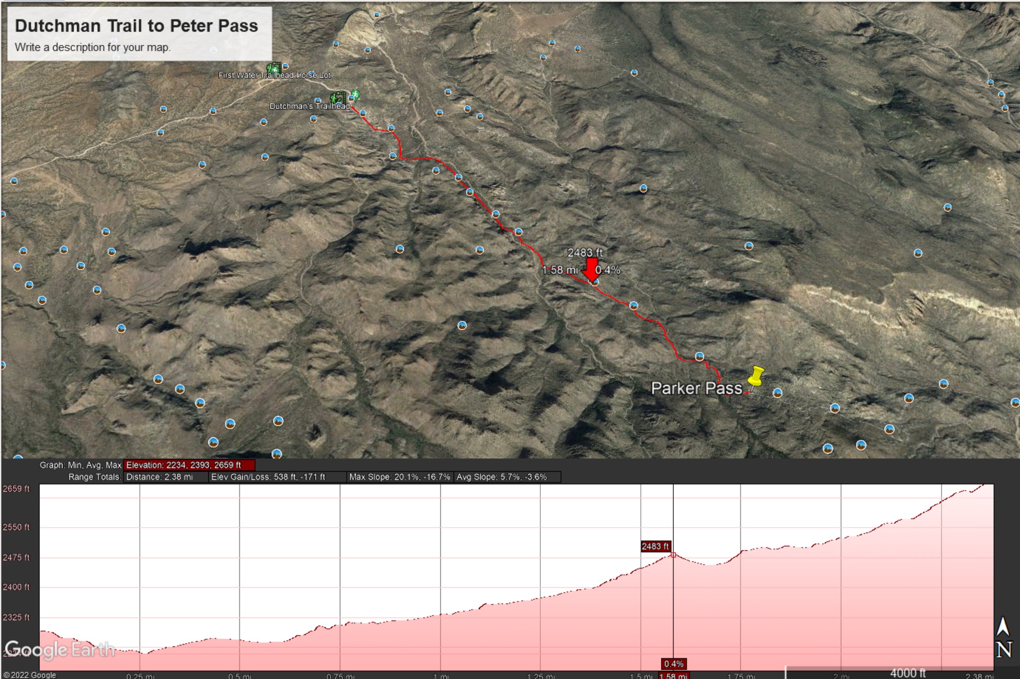
This is a capture from Google Earth of our route to Parker Pass, with a chart of the elevation changes. I am on that last hump with a few more up and down climbs before the pass.
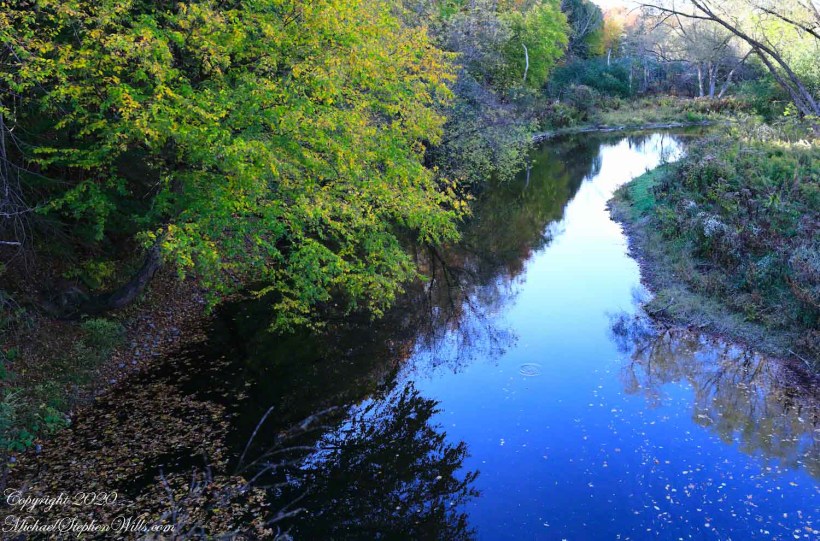
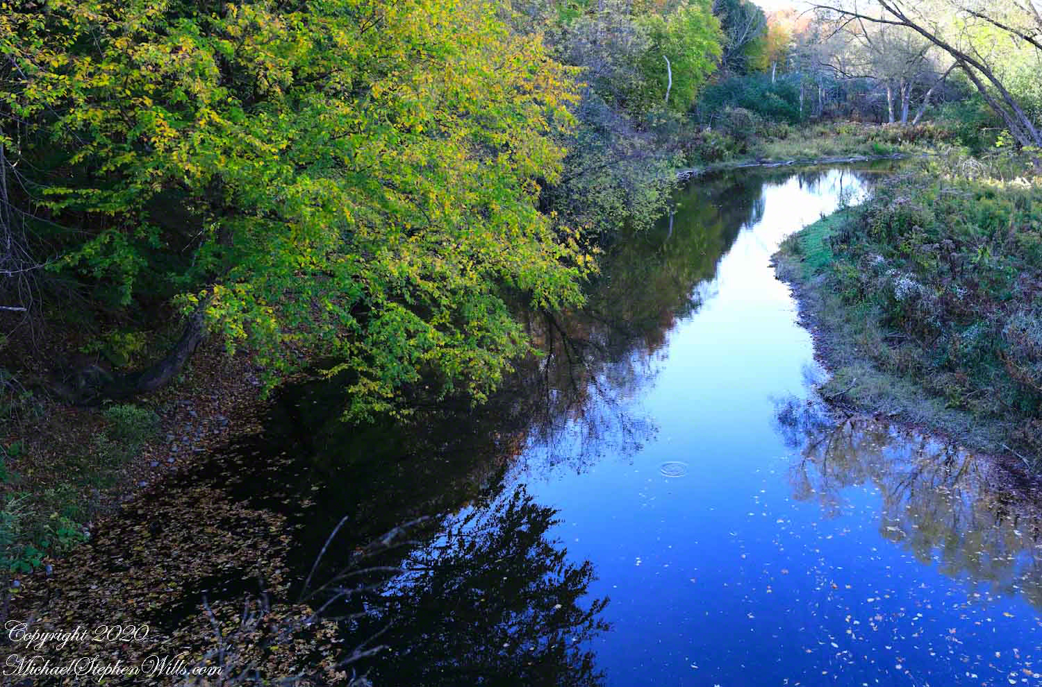
Fall Creek meanders through the esker fields of the Malloryville Preserve. Here is the view from an abandoned railroad bridge. A major watercourse of the Finger Lakes, throughout the 19th century Fall Creek provided water power for local industry: grain grinding mills, cooperage and furniture. Here the stream bed is wide, flow slow and pacific for a mirrored surface, the effect broken by a single drop from an overhanging tree or, maybe, a fin’s flash.
Pam and I visited Malloryville last weekend to enjoy a “socially distanced” walk with family.
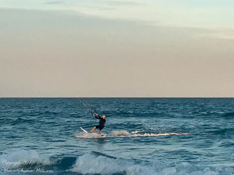
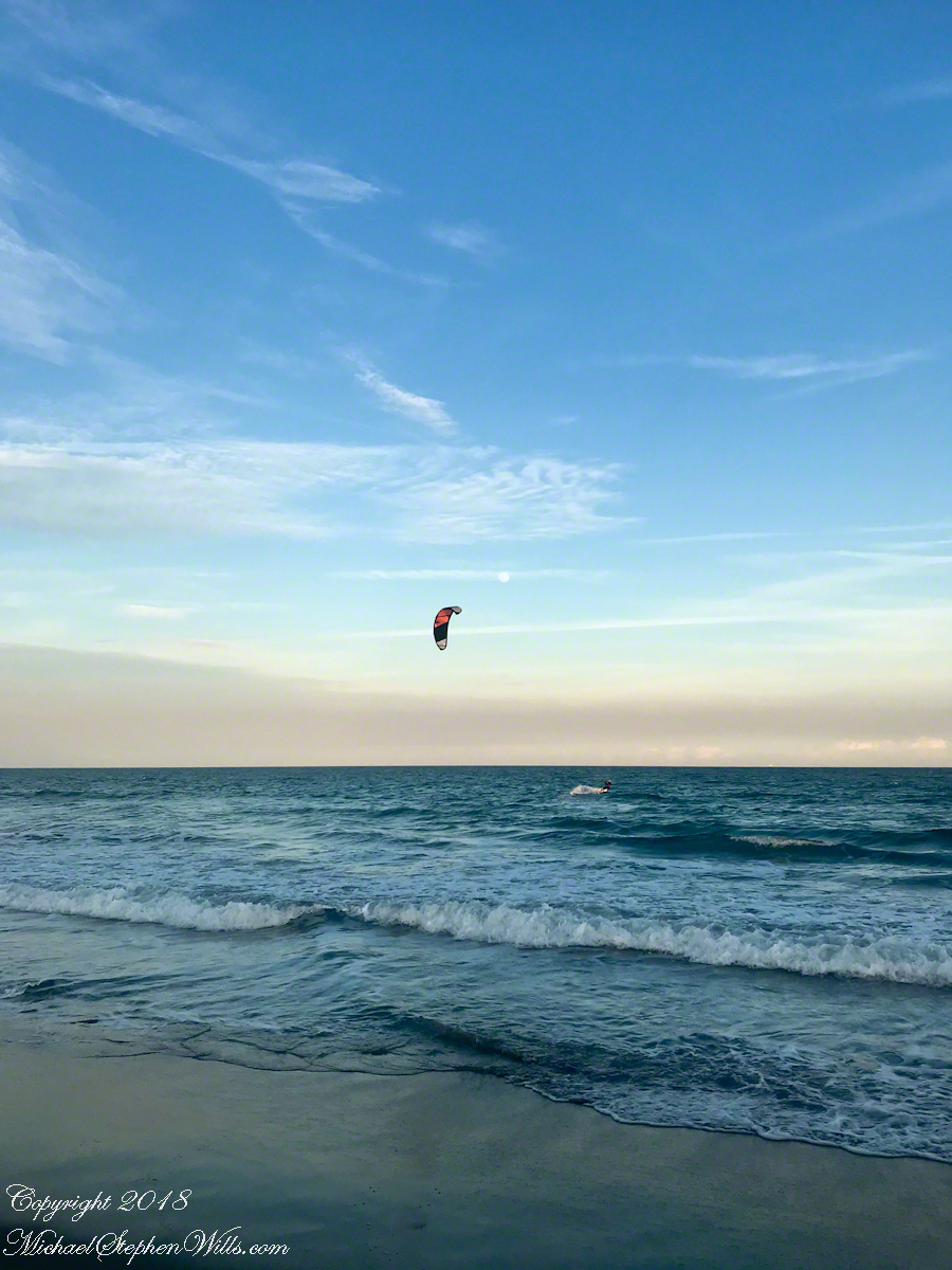
One day before the 2019 Total Lunar Eclipse a full moon rose 4:25 pm above the Atlantic Ocean off Cocoa Beach, the “Space Coast” of Florida. We saw a power kite to the south, with the southerly winds there was time before he was on us. I took the following photographs with what was at hand, an iPhone 8.
Click any photograph to visit my Online Fine Art Photography Gallery
At 50 minutes post moonrise, I included the orb in this frame as the rider tacked, rising a water crest.
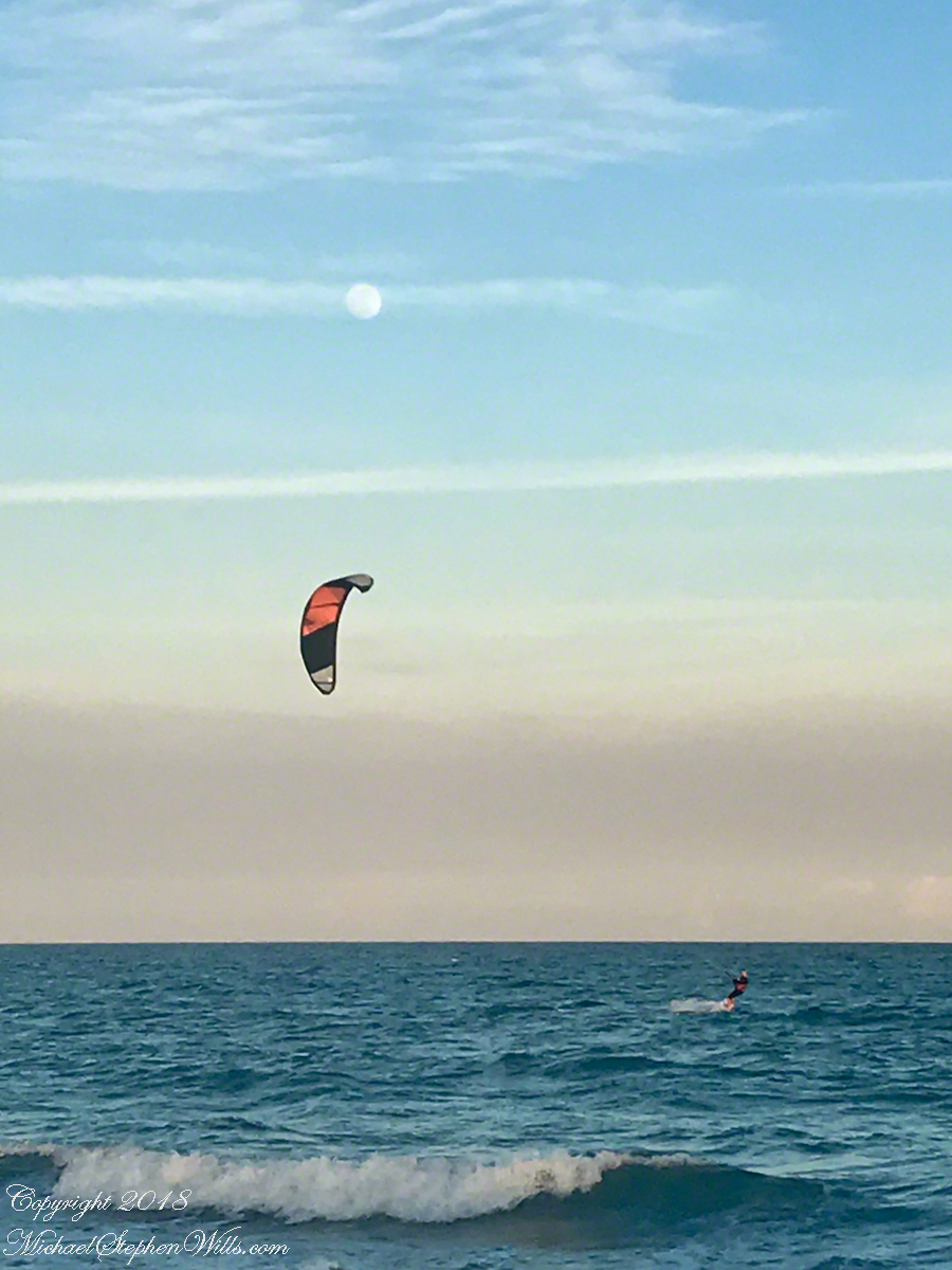
Risen Full Moon and Surf Boarder at Sunset
A flick of the fingers to zoom in, the moon and rider are together as he rides toward shore.
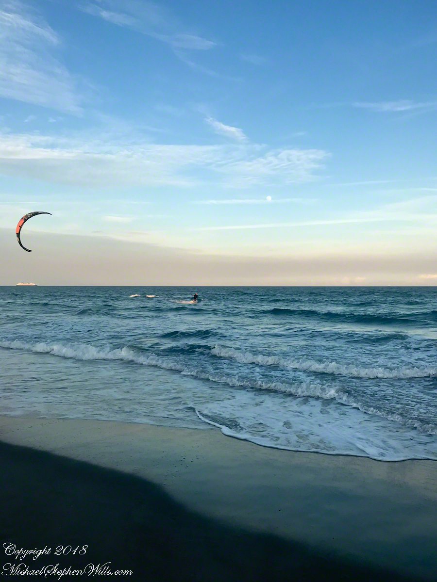
Risen Full Moon and Surf Boarder at Sunset with cruise ship
This time of, Saturdays, the cruise ships depart Cape Canaveral Port. The kite is above the distant ship. It is amazing the kite allows sailing into the wind, his heading is southwest. The shore limits his progress, forcing a tack towards a southeast heading.
Kite Surfer coming to shore at sunset.
Or not, it seems he plans to tack to the northeast, continuing progress north up the coast. I have to wonder how he will return to the starting point?
Copyright 2022 All Rights Reserved Michael Stephen Wills