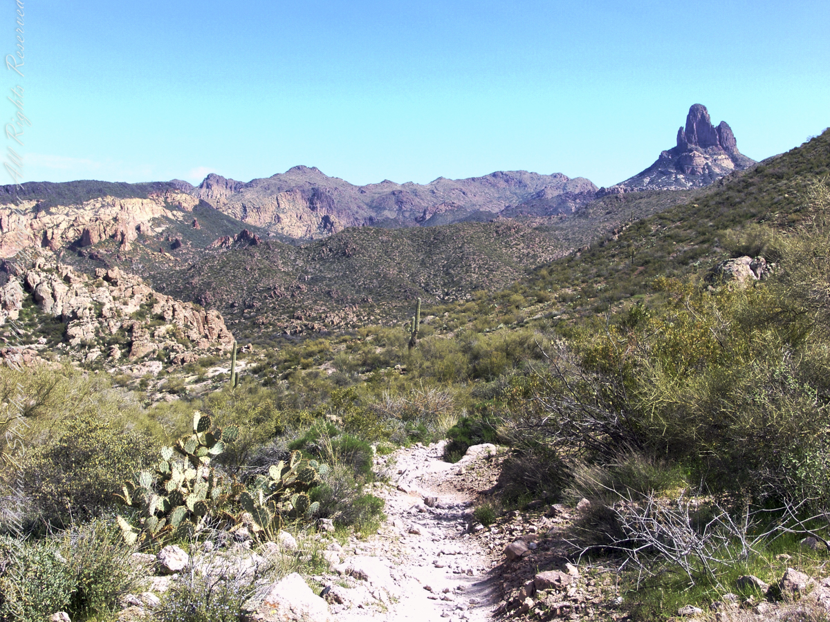
Hiking Peter’s Mesa: Views from Peters Trail in the Superstition Wilderness

Climbing Peters Trail above Charlebois Canyon, I found sweeping desert views, traces of human history, and the stark volcanic beauty of Peter’s Mesa.

In March 2008, we followed the Dutchman Trail deep into Arizona’s Superstition Wilderness. At the junction near the springs draining Charlebois, Music and LaBarge canyons, we stopped for water before beginning the climb toward Peter’s Mesa.

After a respite among the cool spring waters, we headed up Peters Trail for the top of Peter’s Mesa where, for all we knew, there was no water.

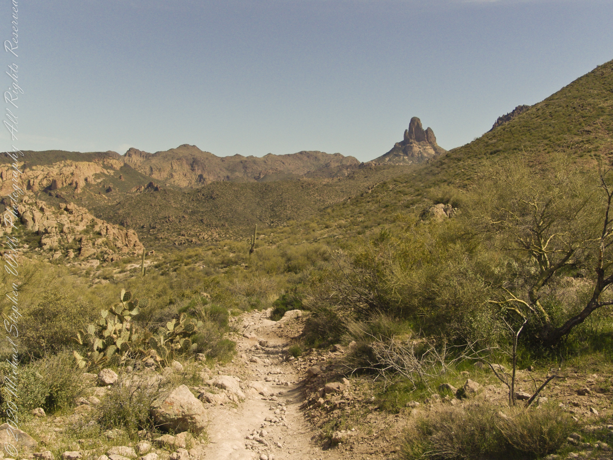
The trail climbed hard from the canyon. As we gained elevation, a little more than 1,300 feet in a mile, the country behind us opened wider with every turn.
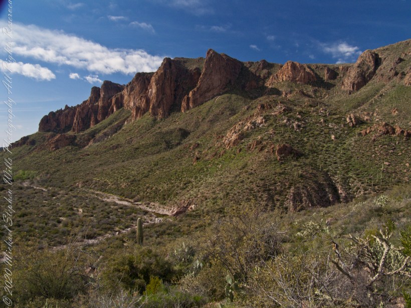
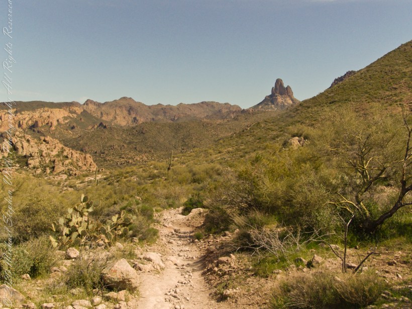
Black Mountain – a Million Dollar View

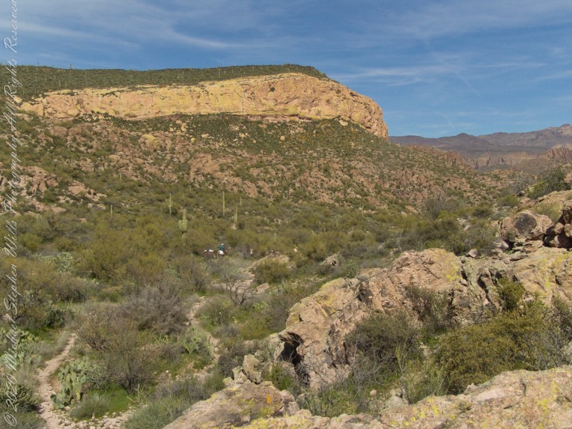
In my photograph “Black Mountain — Million Dollar View,” I am facing northwest, looking down toward Dutchman Trail. Black Mountain is the peak toward the upper left. The cleft of Charlebois Canyon lies below and to the right. Staghorn cholla grows in the foreground, with prickly pear scattered through the brush and young saguaros on the lower slopes. Looking carefully, I could still make out the pooled water where we had stopped.

What I saw as wilderness had been traveled and worked for generations. From above, it looked like country untouched by people. It was not.

Apache and Yavapai people traveled these mountains long before Europeans entered them, gathering plants and roasting agave in earth pits. Evidence of that use has been found on Peter’s Mesa. By the late nineteenth century, cattlemen were moving stock through the Superstitions, in part to supply mining settlements such as Silver King. Mexican woodcutters also worked these mountains, cutting mesquite and transporting wood by burro.

The origin of the name Peter’s Mesa is uncertain. Superstition Mountain historian Tom Kollenborn believed it may have come from an early cattleman or drover named Peter. The mesa also became associated in later years with the prospectors and treasure hunters drawn into the mountains by stories of the Lost Dutchman Mine.

Charlebois Canyon has its own history. Charlebois Spring was once known as Black Mountain Spring or Alamo Spring. Around the beginning of the twentieth century, Martin “Mart” Charlebois, a French-Canadian cattleman, lived there. He built a cabin and used spring water to irrigate a small garden. His cabin later burned.

Knowing this changes the way I look at the photograph. The canyon below appears empty, but a man once lived there, tending cattle and coaxing a garden from a desert spring.
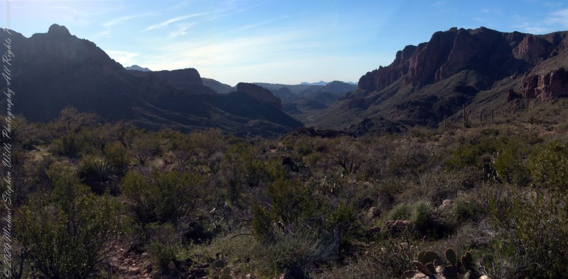
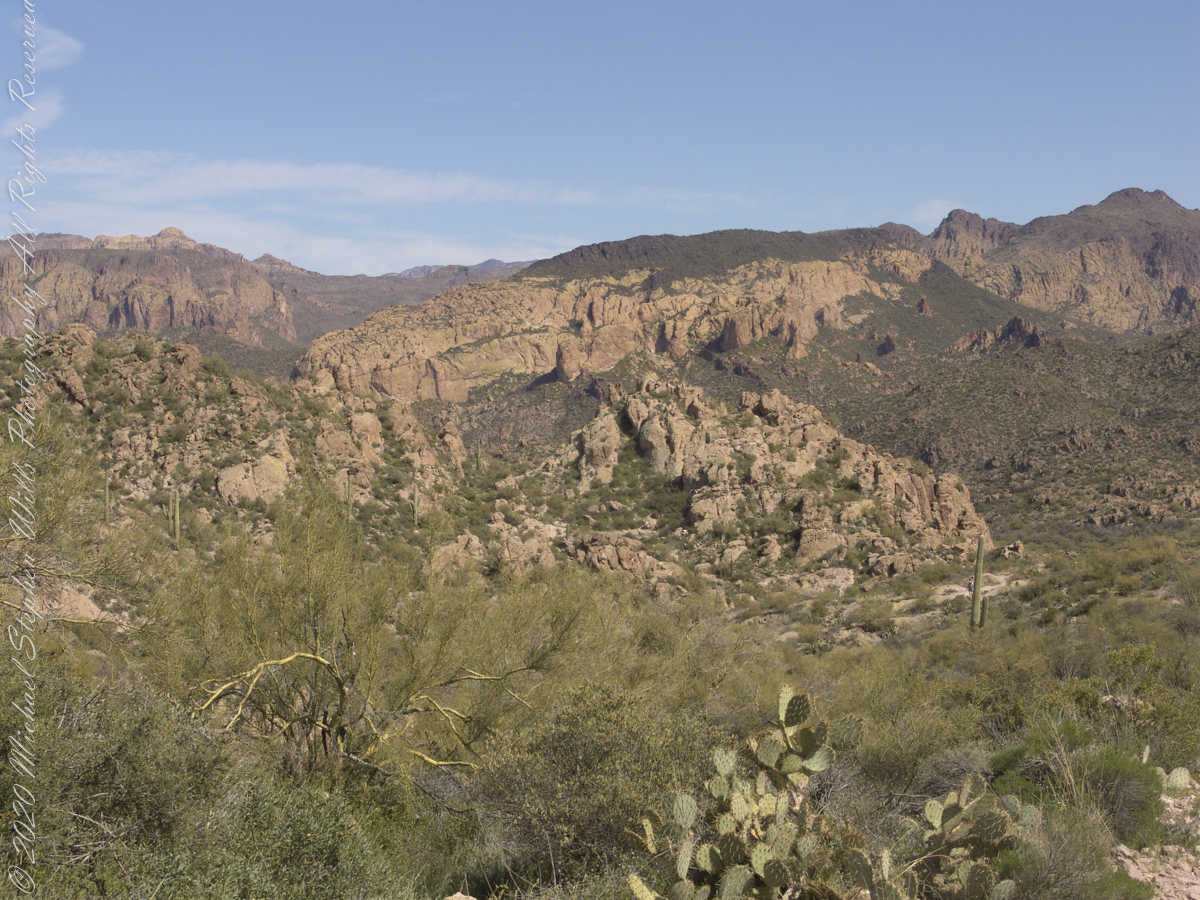
Superstition Glory

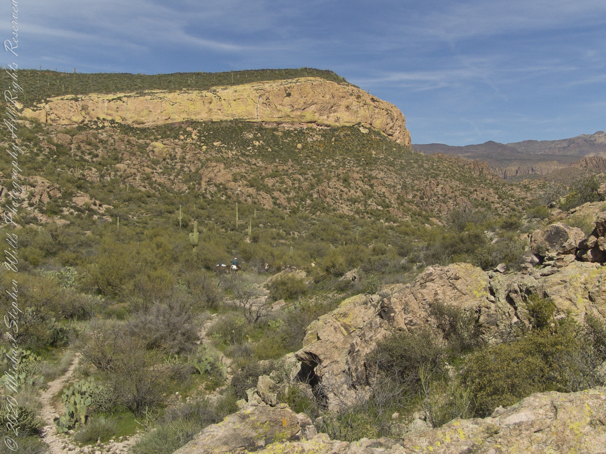
Higher on Peters Trail I made the panorama I called “Superstition Glory.” Black Mountain stands to the right and Bluff Spring Mountain to the left, while LaBarge Canyon reaches away through the center toward the Red Hills. The photograph makes the terrain look almost orderly. Hiking through it was different. Each ridge concealed another wash or canyon, and distances were difficult to judge.

The geology accounts for those abrupt walls and broken mesas. Much of the Superstition Mountains consists of volcanic rock produced by major eruptions millions of years ago. Ash flows, lava and collapsing volcanic structures were later cut apart by erosion, leaving the cliffs, mesas and pinnacles that surround Peters Trail.

Water has done much of that work. On our hike it was scarce enough to govern our plans; over geological time it had carved the country beneath our feet.
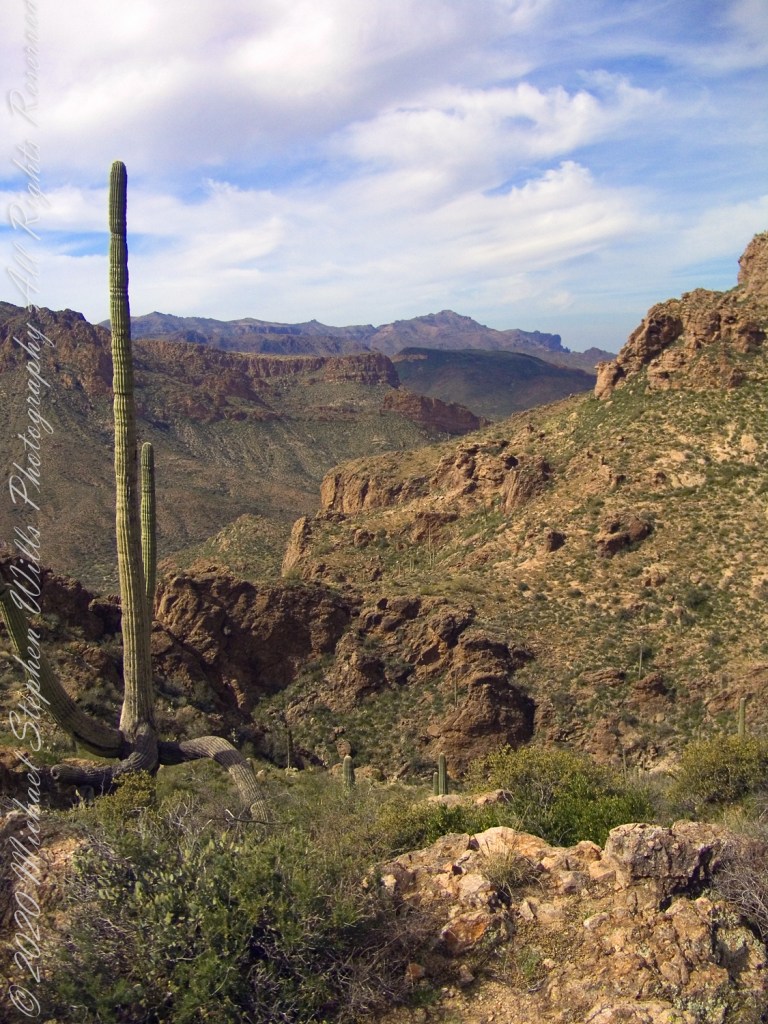
World at Our Feet

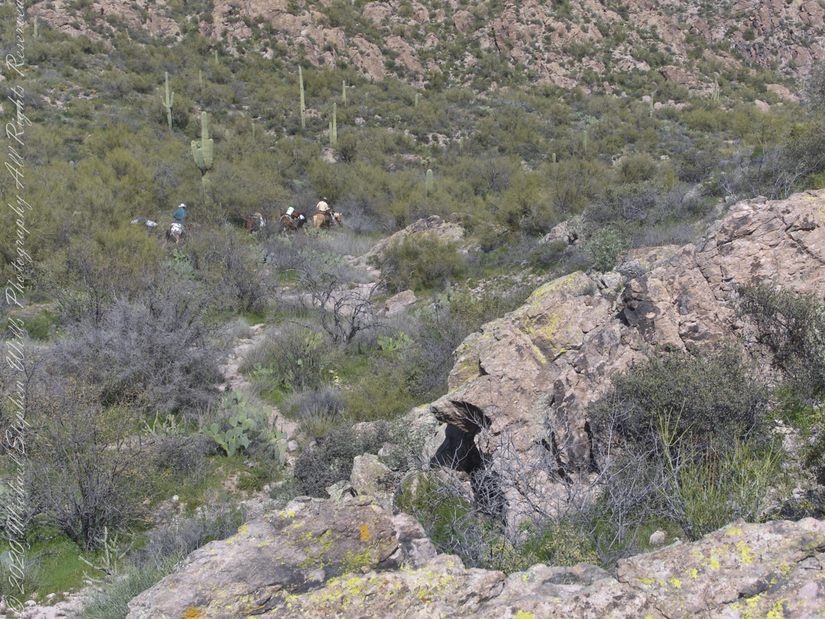
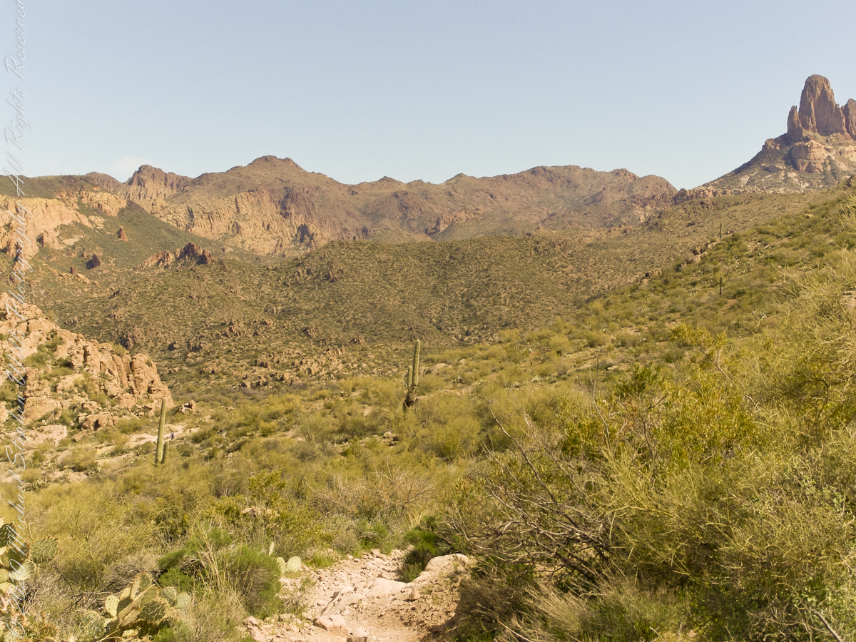
Near the mesa top I stopped for another photograph, “World at our Feet.” A mature saguaro rises in the foreground above Charlebois Canyon. Beyond it are Black Mountain, Bluff Spring Mountain and Black Top Mesa, with Flatiron farther away. The tall cactus gives some measure of the distances beyond it.

By then we had climbed well above the springs.

I remember the view more clearly than the effort: saguaros standing on the slopes, volcanic cliffs catching the light, canyons dropping out of sight and one ridge following another toward the horizon. Somewhere below was the Dutchman Trail and the patch of water where we had rested.

From Peter’s Mesa, it seemed very far away.

Click me to visit Michael Stephen Wills Online Superstition Wilderness Photography
Enter your email to receive notification of future postings. I will not sell or share your email address.

Signs

a deadly quest

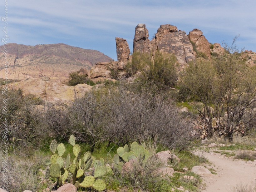
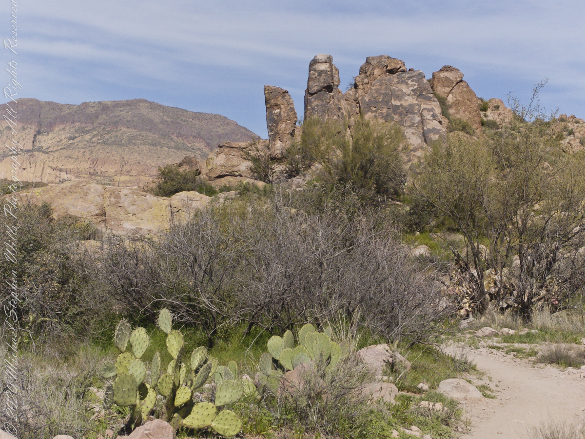
The Dutchman trail curves around this rocky outcrop on the east side of O’Grady Canyon, on the left are two hoodoos, on the right side a vandal has defaced the rock. Prickly Pear Cactus in foreground. Malapais Mountain, in distance. Malapais is from the Spanish term Malpaís, meaning badlands.

Click Me for my Online Gallery

Signs and wonders, such as this mysterious “S”, lure people into the Superstitions. Two years after our expedition, July 2010, three men set out from First Water trailhead on a quest for Superstition Gold, never to be seen again. Unprepared for the summer heat, the skeletons of two found January 2011 on the slopes of Yellow Peak, a straight-line mile from this location.


Click me for a story of three men lost in the Superstition Wilderness

Click me for the Final Word on Men Lost in Superstition Wilderness –CURTIS MERWORTH

Click me for the Final Word on Men Lost in Superstition Wilderness — ARDEAN CURTIS CHARLES

Click me for the Final Word on Men Lost in Superstition Wilderness — MALCOM MEEKS

Copyright 2022 Michael Stephen Wills All Rights Reserved
Blessing

blessed water

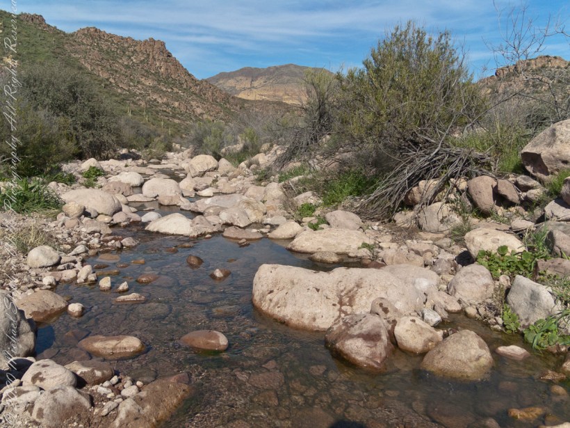
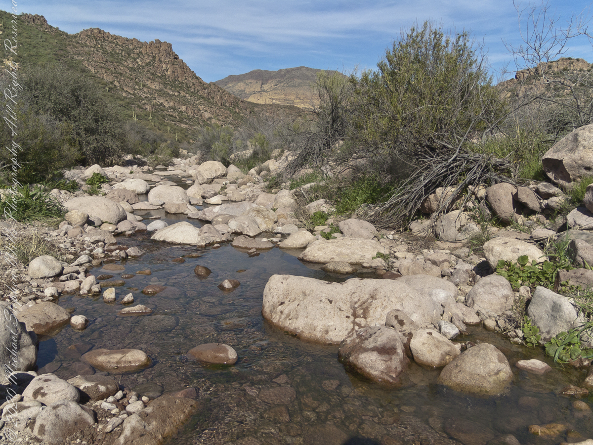
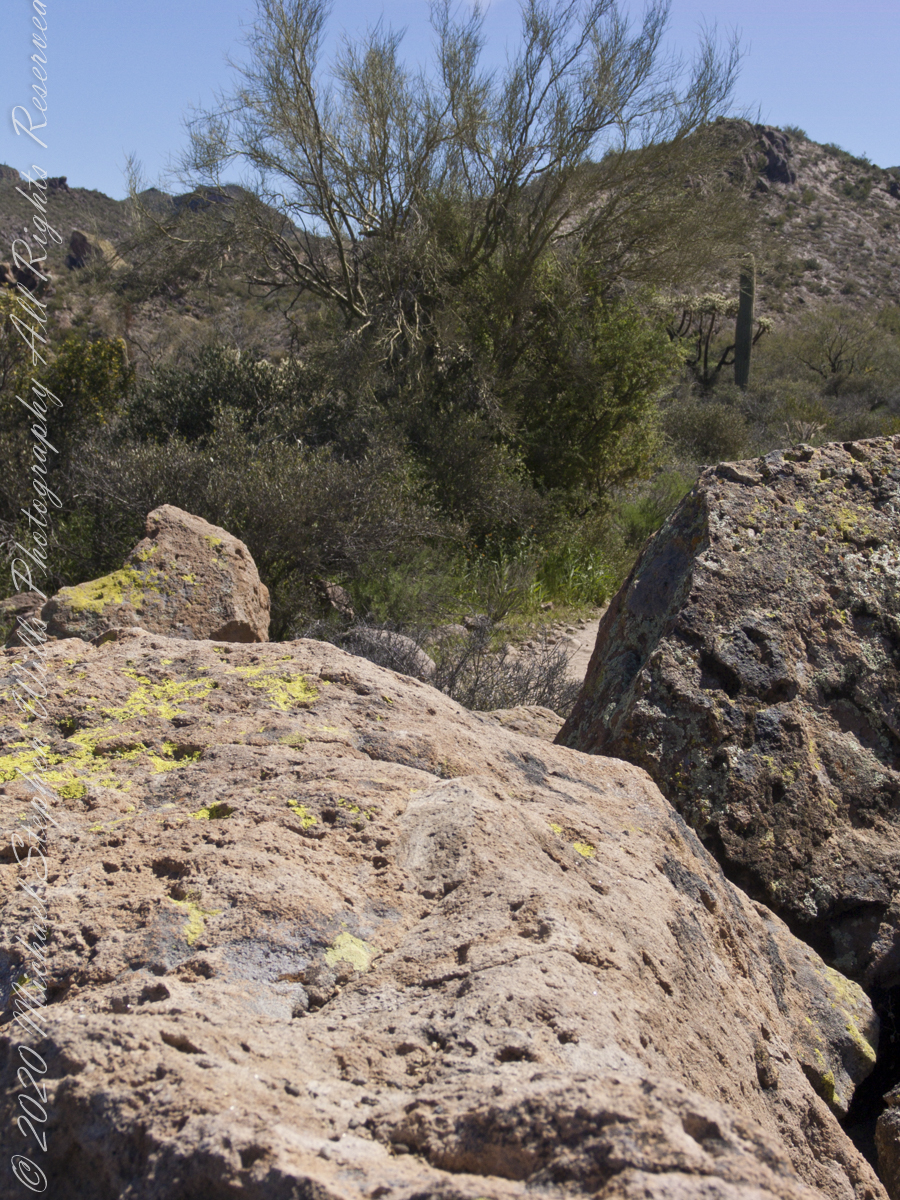
The blessing of desert water flows through a portion of West Boulder Canyon known as O’Grady Canyon, named after “Rattlesnake” Tim O’Grady who prospected the area mid-Twentieth Century.

Click Me for my Online Gallery

Even more so as this is an intermittent flow, dry boulders offer no solace in dry seasons. In the distance, beyond a Black Mesa ridge studded with Saguaro cactus, is Malpais Mountain (Spanish, “Bad Country”). Closer, on the right, is the ridge of Palamino Mountain.


Click me for another Superstition Wilderness Episode

Copyright 2022 Michael Stephen Wills All Rights Reserved
Into O’Grady Canyon

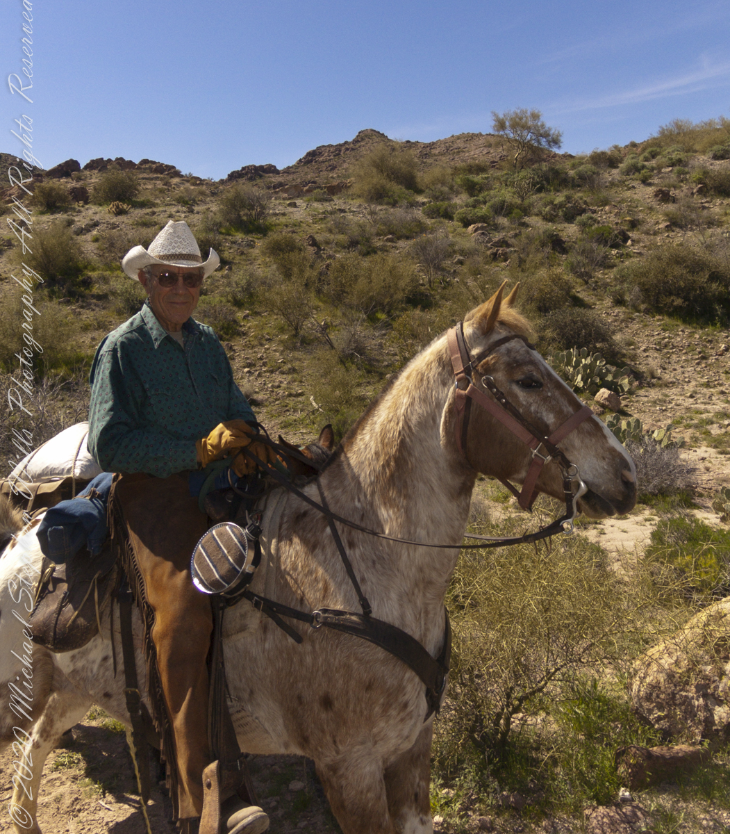
O’Grady Canyon named after prospector “Rattlesnake” Tim O’Grady, renowned for exploring Superstitions.

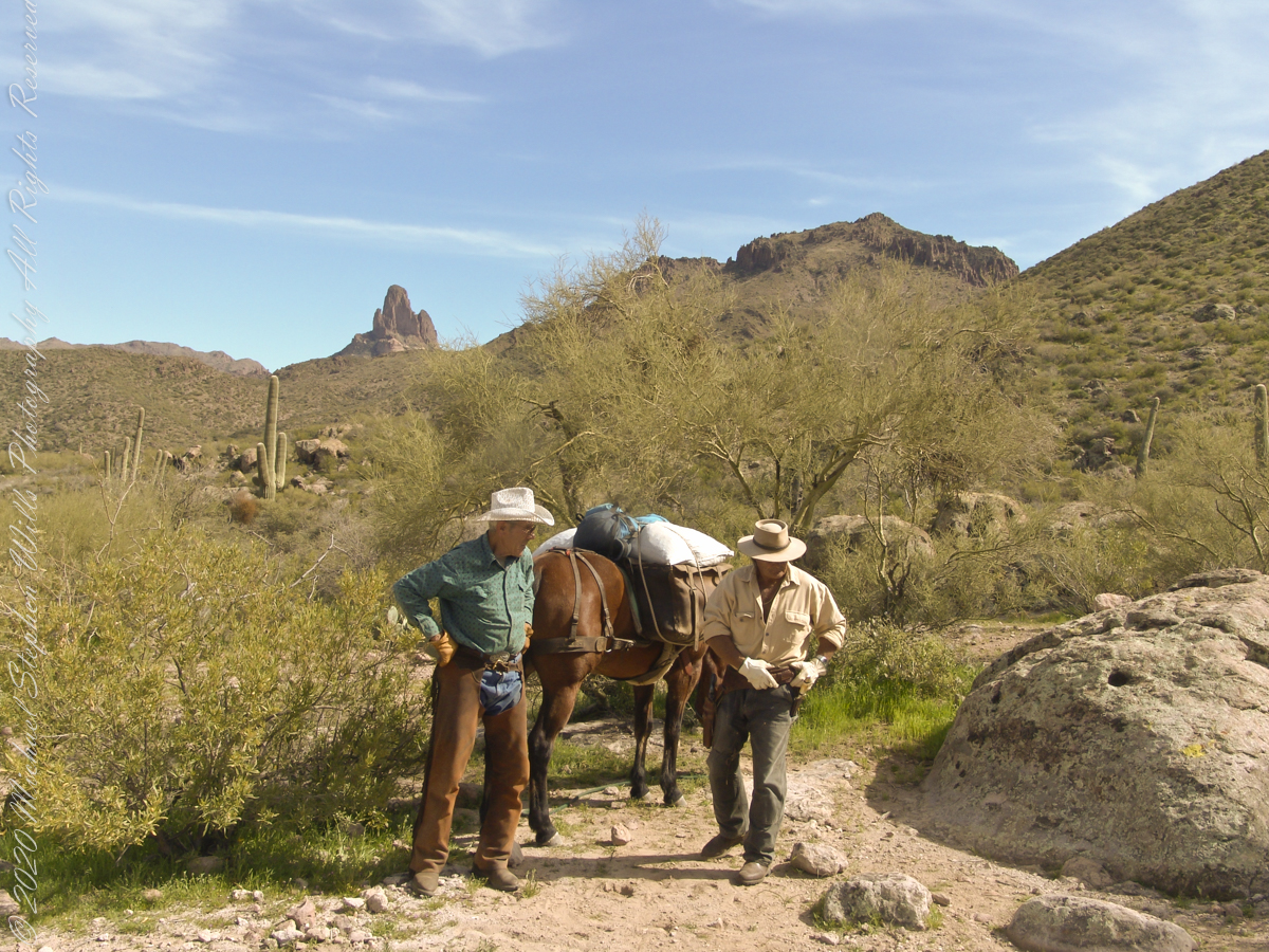
Twenty-three minutes later I caught up with Dave and Al taking a break at a large loop in the trail, a half mile below Parker Pass.

Click Me for my Online Gallery

Fourteen years later, using GoogleEarth, I deduce the location to be 33°27’19.39″N , 111°24’38.58″W. After the horse party proceeded, I stayed behind to record them.

….as well as the surroundings. The geological formation is the escarpment of Black Mesa above O’Grady Canyon.

The name O’Grady Canyon piqued my interest, so I poked around the internet and found this posting from Tom Kollenborn, a well-known authority on the Superstitions.

“I was told Tim O’Grady prospected the area for about twenty-five years before moving to Washington. He was a well known character around Apache Junction from about 1945 – 1980. There are other interesting stories about Tim. I visited with him several times on the old First Water – Charlebois Trail in the late 1950’s and early 1960’s when I worked for the Barkley Cattle Company.

Tim’s Saddle was named after “Rattlesnake” Tim O’Grady a prospector who searched the Superstition for the Dutchman’s Lost Mine in the 1950’s and 1960’s. O’Grady Canyon is also named after him. The story goes something like this. A USGS map crew was working in the area around Parker Pass in the early 1950’s and came across this old white bearded prospector. They ask him about several landmarks in the area and their names. He pointed to a saddle and said that is Tim’s Saddle and the canyon on the right is O’Grady Canyon. They talked for a while about other landmarks and finally ask the old prospector for his name. He looked at them politely and said he was Tim O’Grady. The last I ever heard of “Rattlesnake” Tim O’Grady was he moved to Washington. He was 87 at the time.


Click me for another Superstition Wilderness Episode

Copyright 2022 Michael Stephen Wills All Rights Reserved
Respite

stopping for a look around

One hour and twenty minutes into Lost Dutchman Trail I stopped for a look around.

Click Me for my Online Gallery

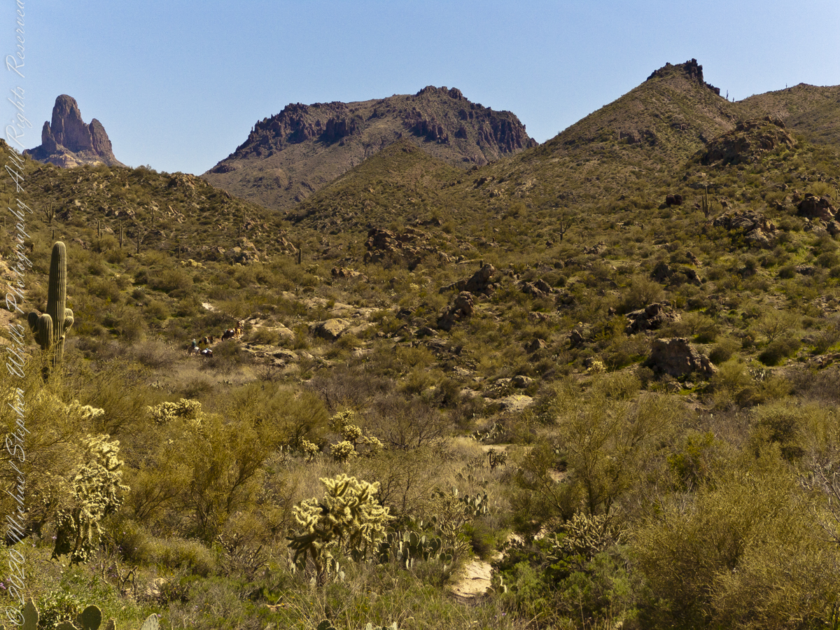
My party is out of sight, Parker Pass seems no closer, Weaver’s Needle looms 3.1 miles away over several ridges.

A sole day hiker is on the trail ahead. I carried a gallon of water with a siphon pipe, so was taking sips every so often and becoming dehydrated anyway. Ahead is the ridge of Parker Pass, the pass is the green slant of land on right.

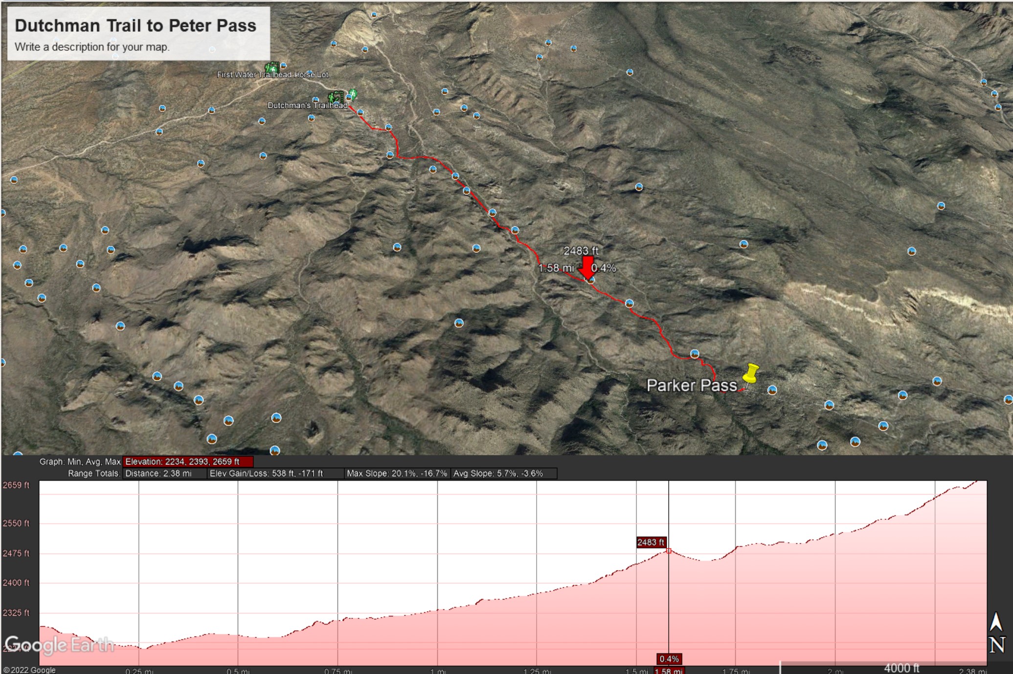
This is a capture from Google Earth of our route to Parker Pass, with a chart of the elevation changes. I am on that last hump with a few more up and down climbs before the pass.


Click me for another Superstition Wilderness Episode

Copyright 2022 Michael Stephen Wills All Rights Reserved

On The Dutchman Trail

to Parker Pass

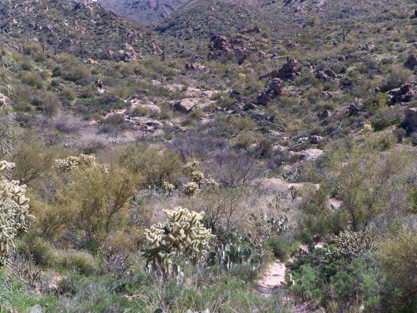
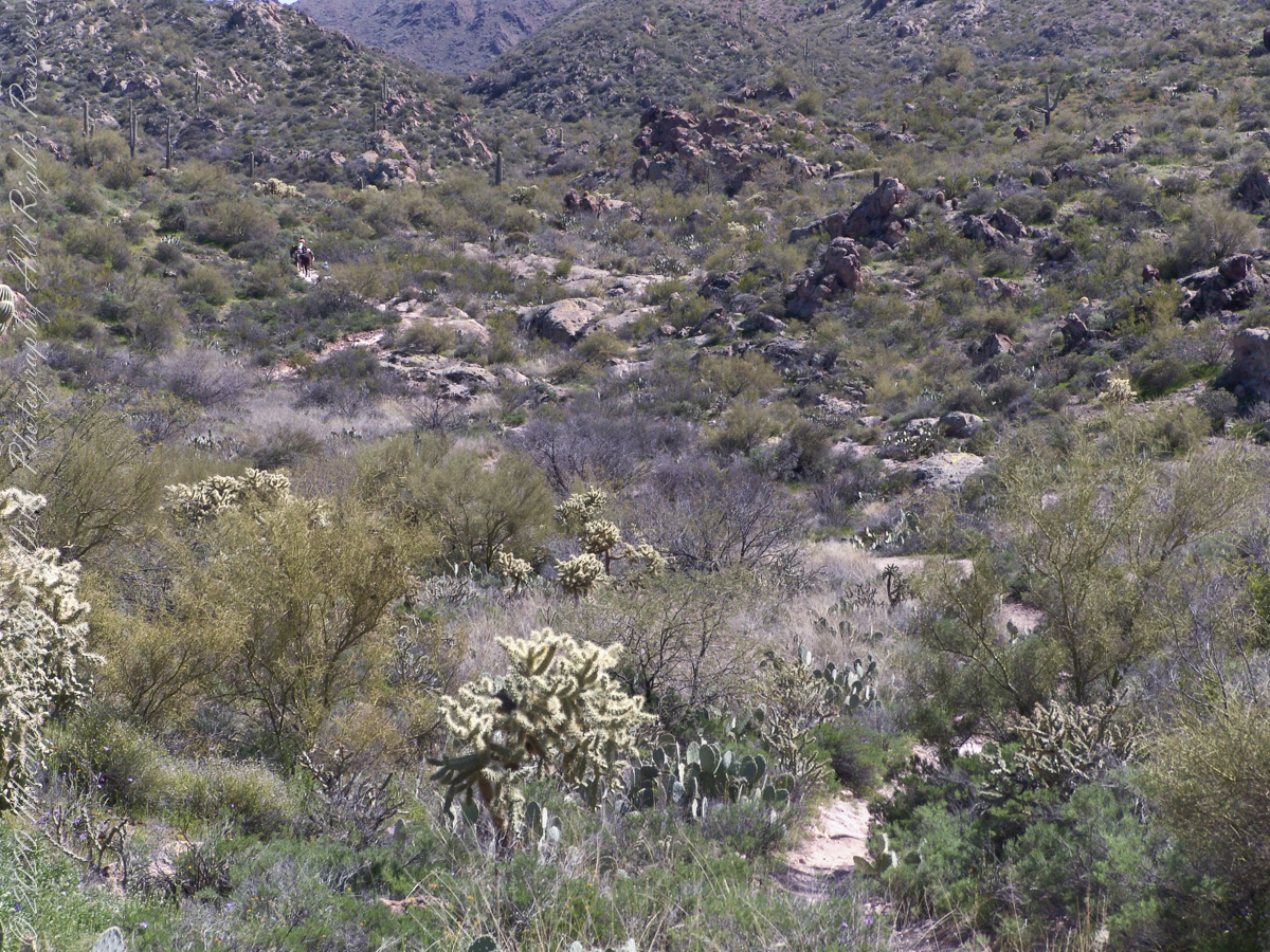
Our expedition party on Dutchman Trail. Ahead is Parker Pass. Look carefully to pick out two horsemen and three horses packing equipment and supplies. They travelled much faster than my 3 – 4 miles per hour on foot.

Click Me for my Online Gallery

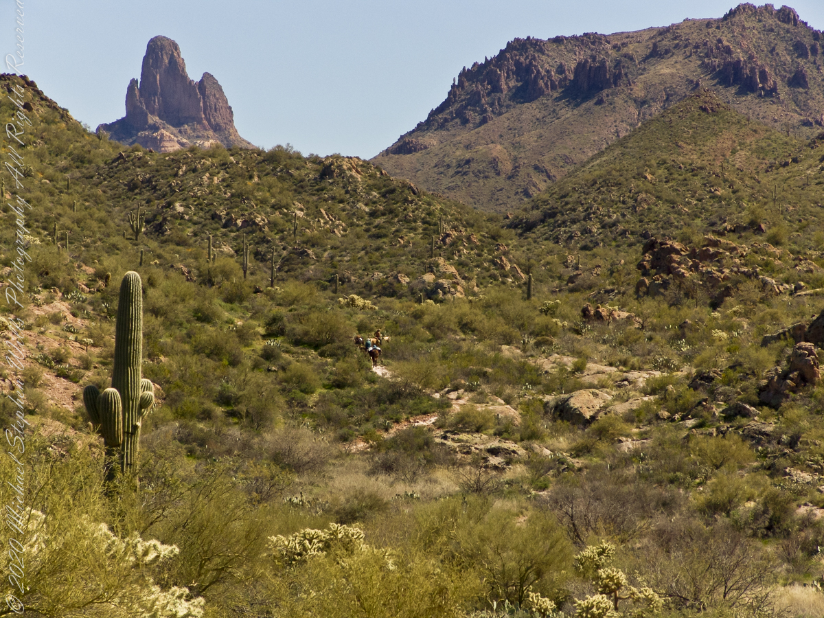
Ahead is Parker Pass, the opening between the two hills in the middle distance. Weaver’s Needle, 3.7 miles distant, at left above the Parker Pass ridge. You can still see my party, ahead. I “zoomed” in for a better view of the party, rapidly pulling ahead and out of sight.

As I top a rise my party is out of sight, more of Weaver’s Needle is visible on the right. The trail falls here before rising again to achieve Parker Pass. Distances on the Lost Dutchman trail are difficult to estimate, visible objectives are much farther then they appear. Constant sun, clear air, difficult terrain conspires against the unprepared leading many into overextending their luck. As a case in point, 37 minutes transpired between the second and third photographs.


Click me for another Superstition Wilderness Episode

Copyright 2022 Michael Stephen Wills All Rights Reserved

Headed Out

The Beginning

Dutchman’s trail, starting from First Water Trailhead, meanders through Sonoran Desert hills and washes, gradually climbing about 400 feet before descending into Boulder canyon.

Click Me for my Online Gallery

We were a party of three with five horses: two mounts and three pack. I was on foot, unencumbered by the usual backpack loaded with 80+ pounds of equipment and supplies for an extended wilderness expedition. I used the opportunity to wear a Sony F828 camera, used for the handheld photographs of this series.

The following photograph is our expedition party on First Water Trail. That is Parker Pass, the opening between the two hills in the middle distance. Look carefully to pick out two horsemen and three horses packing equipment and supplied. They travelled much faster than my 3 – 4 miles per hour on foot.

Foregrounds are the “jumping” Cholla, cactus with sharp spines that seem to reach out and grab the unwary. During out trek from Apache Junction to First Water trail head we negotiated forests of this nasty plants.


Click me for another Superstition Wilderness Episode

Copyright 2022 Michael Stephen Wills All Rights Reserved