Here is a companion post for last Sunday’s photographs of Beebee Lake. This was taken where the lake outflow continues as Fall Creek. Enjoy!!
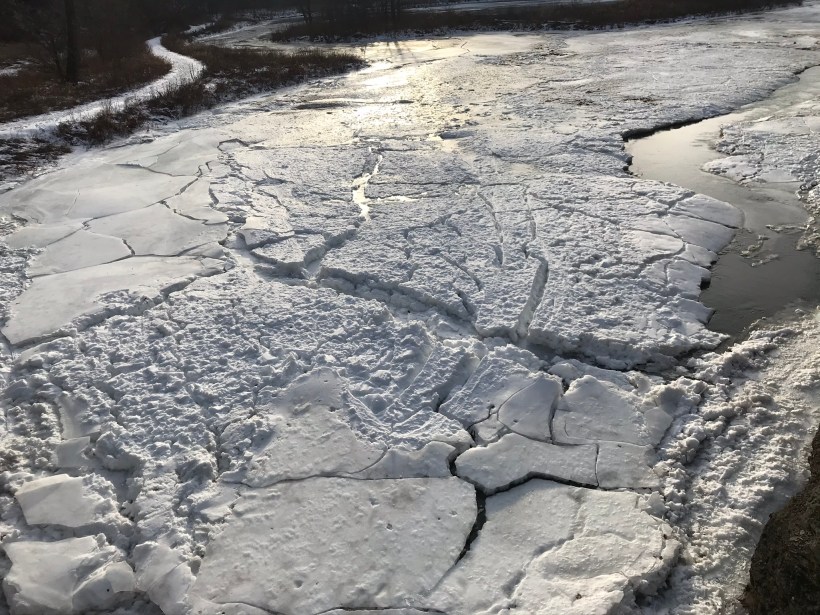
Frozen Dam
Views from the bridge on Christmas Eve 2019
Views from the bridge on Christmas Eve 2019
Here is a companion post for last Sunday’s photographs of Beebee Lake. This was taken where the lake outflow continues as Fall Creek. Enjoy!!
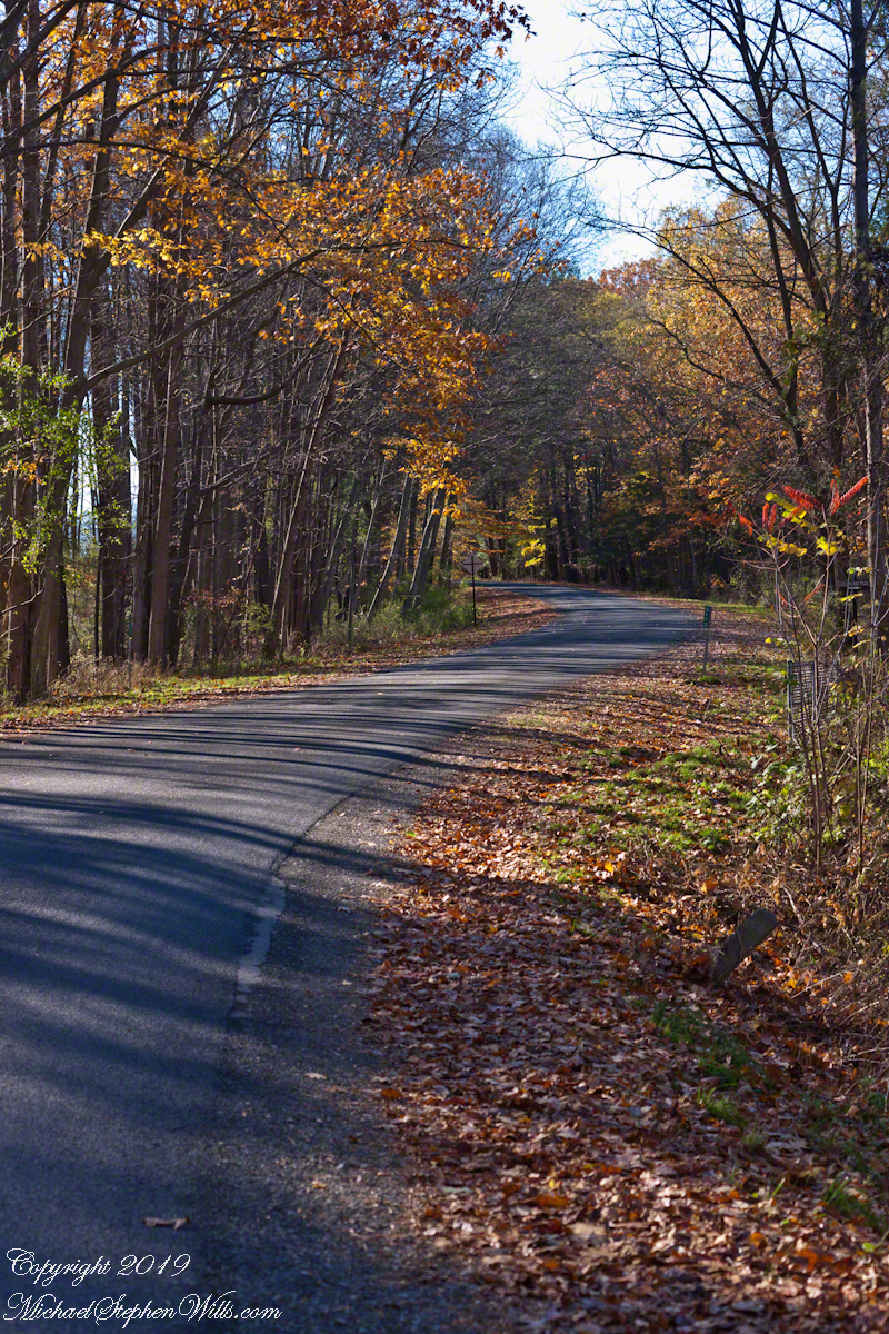
Northern Latitude
Early November on Gorge Road, Finger Lakes Region, New York State. At this month and latitude (42 north) there are long shadows throughout the day. The South Rim Trail of Taughannock Falls State Park briefly emerges from the wooded cliff to this portion of the road that parallels the gorge, descending to Cayuga Lake shores.


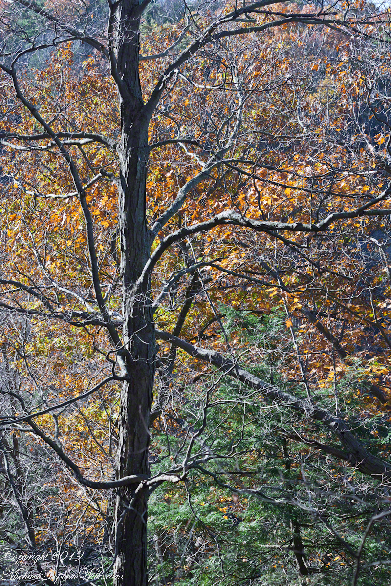
Bird’s Eye View
Early November trees, Taughannock Gorge, Finger Lakes Region, New York State walking the South Rim Trail we are among the upper reaches of trees clinging to the steep gorge walls.
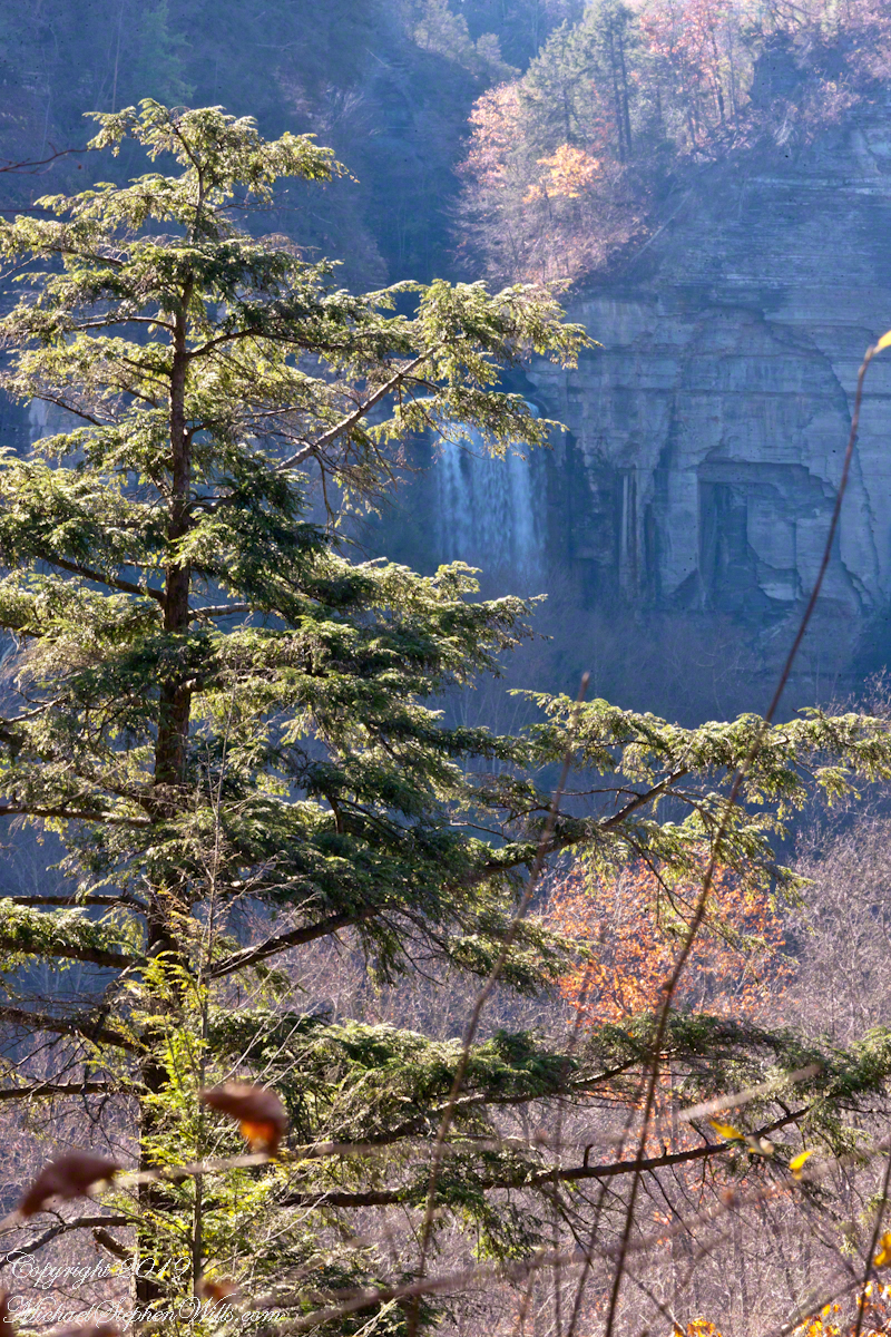
I am fascinated by this vantage from the South Rim trail. It is possible because the gorge bends almost 90 degrees, the gorge walls fall away to reveal the 215 foot waterfall.

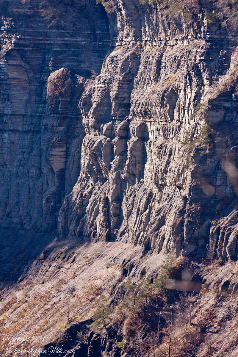
On viewing this photograph my wife, Pam, noticed the shapes eroded from the sedimentary rock of Taughannock gorge. These layers of shale, sandstone, siltstone formed at the bottom of a broad, shallow sea over 380 million years ago. Differential wearing of these rock layers, clearly visible in this photograph, resulted in these formations, including the three sisters and overhangs.


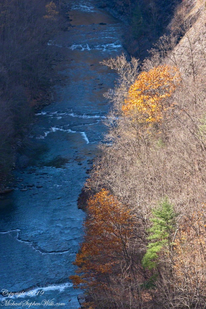
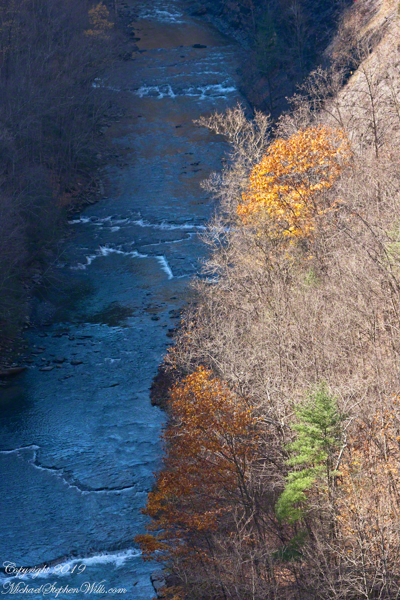
View from The Bend
Oaks are the last to release leaves, seen here on an early November afternoon.
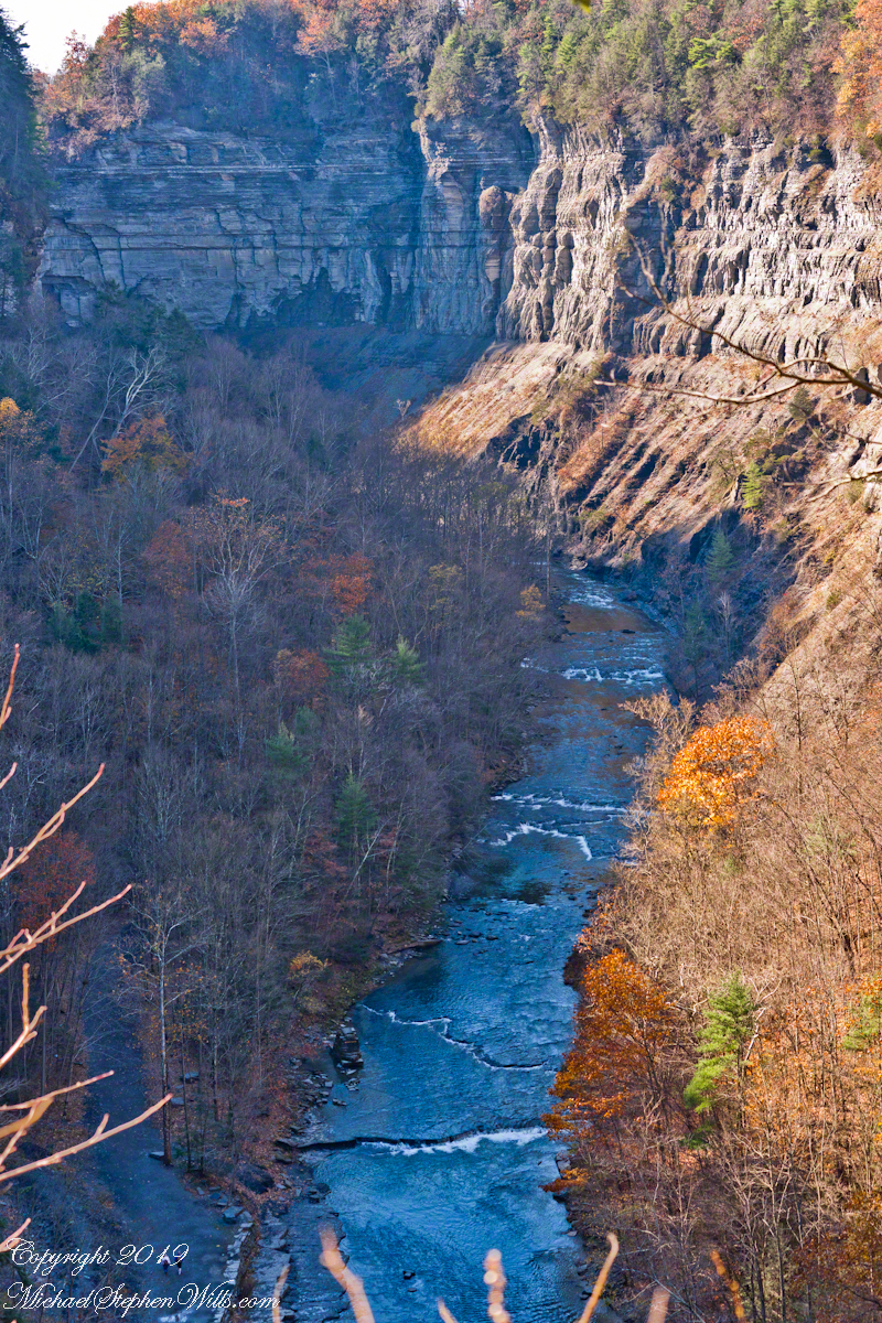
Standing on the South Rim trail where the gorge bends almost 90 degrees, changing from a northern to eastern flow. The creek is flowing toward the camera, the falls out of view, upper left. Lower left two people walk the 3/4 mile trail of the falls.

The sun, in its wander south, casts long midday shadows
The sun, in its wander south, casts long midday shadows
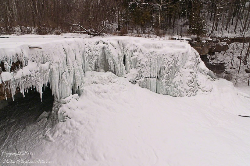
The elements come into focus, revealing Ludlowville Falls, near Lansing, New York. On the eastern side of Cayuga Lake, Salmon Creek plunges 35 feet over this limestone shelf. Pioneers constructed a grist mill at this site.
Here we see The Fang hanging over the entrance to The Cave. There is falling water overall, but especially the center section (can you see it?). The weight of accumulated ice fractured a portion of the frozen cascade.
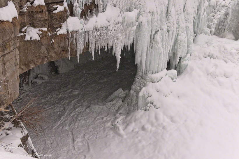
Flowing water eroded away until this durable limestone strata. The majority of sedimentary rock is shale, only 6% is limestone. Throughout the Finger Lakes and elsewhere, this is why when flowing water exposed the edge of a limestone strata, the underlying, soft shales are worn away to reveal a waterfall, ever deepening. Eventually, the support of the limestone washes away to form this ledge. Here it is an ephemeral cave behind a curtain of ice.
See “The Fang?” for the first post of this series.

