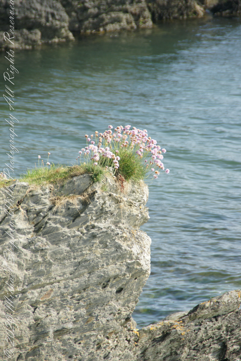
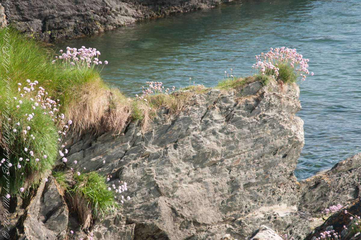
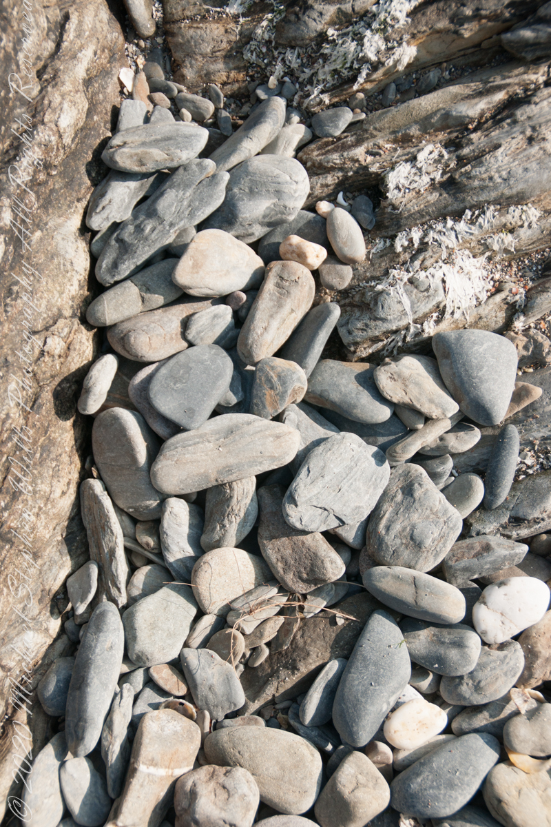
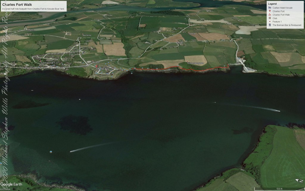
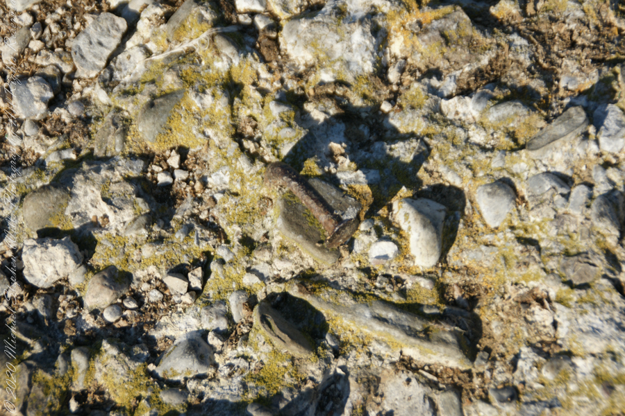
We continued down the half mile “Sallyport” footpath, marked in red on the Google Earth view provided at the end of this post, along shoreline cliffs to find these croppings of Sea Pink on jagged rocks.
Oddly, the jags being perfect places for Sea Pink to perch. Scientific name, Armeria maritima, and also known by Thrift or Sea Thrift, a reason these evergreen perennials are found on the obverse of the British Three Pence coin issued 1937 – 1952. Thrifty can mean to buy a lot for a little money — three pence is very little money.
Click any pic for a larger view, in a new tab, or a slide show. When using WordPress Reader, you need to open the post first.
Another sign informing hikers of the view.
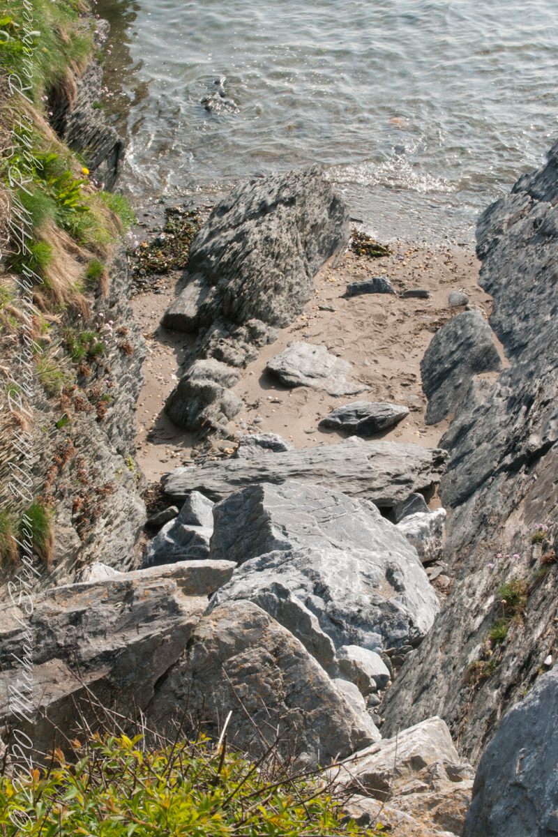
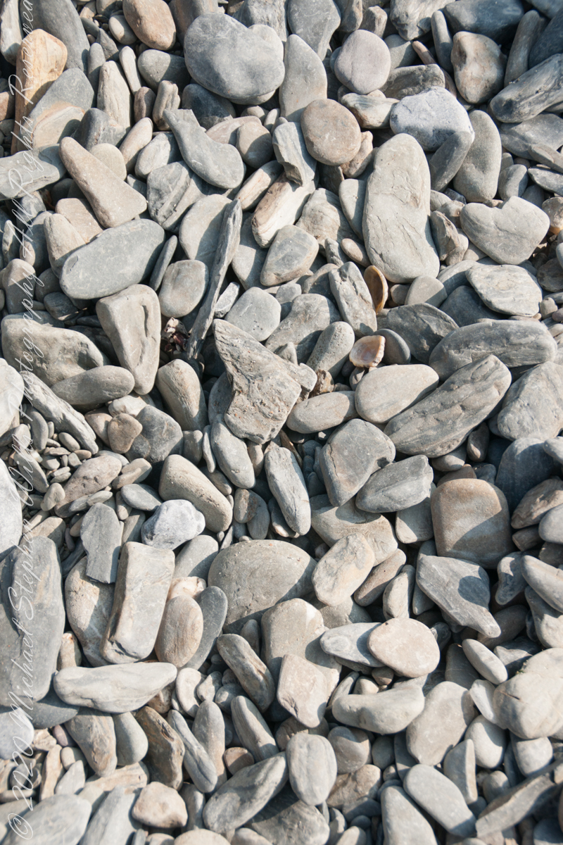
DeclivitySea SmoothedSmoothed over time by wave actionA half mile footpath, marked in red, leads from Charles fort along the shoreline cliffs, surmounted by working farmland.
Reference
“Armeria maritima” – wikipedia
Copyright 2023 Michael Stephen Wills All Rights Reserved
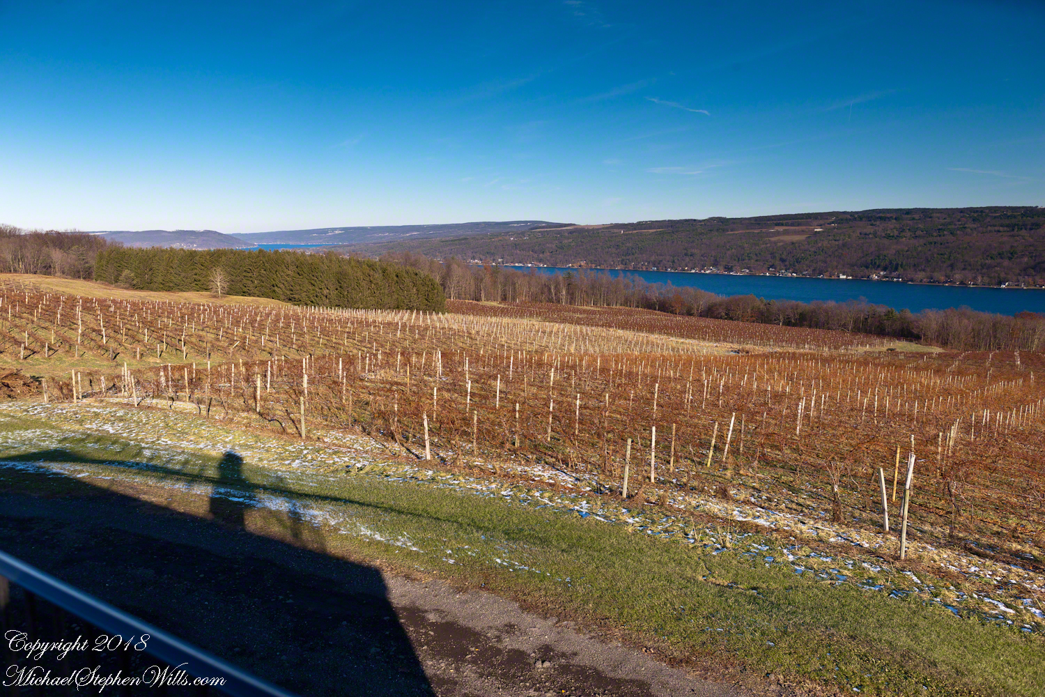
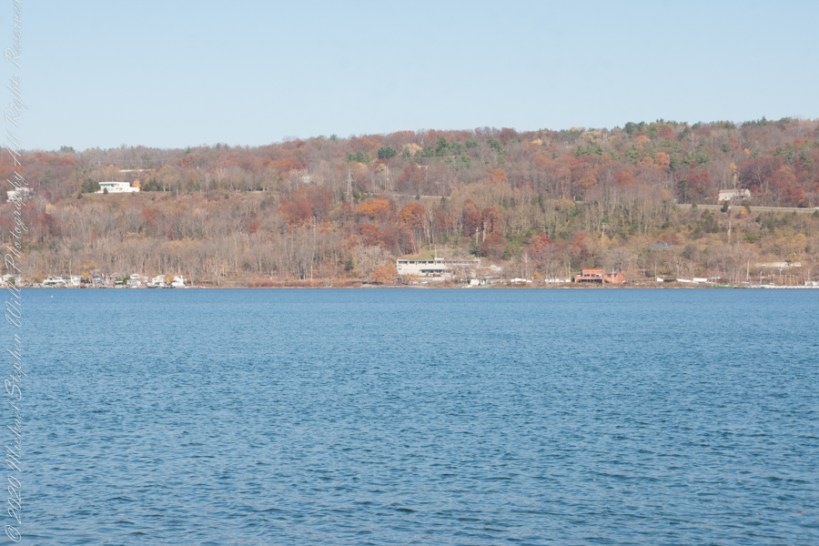
Sunday, Pam and I travelled across the peneplanes, past three Finger Lakes, to reach the Dr. Konstantin Frank winery where we subscribe to the “Wine Club,” a quarterly release of three 750 ml wines along with a newsletter with information and recipes. For 2018/2019 we elected to “pickup” our selections, looking forward to these drives through the country and villages between Ithaca and the winery perched on the west side of Keuka Lake, just below the “branch.”
Preeviously, I posted “Glacier!!” and today there is this photograph of glacial topography 10,000+ years after the melt. Keuka Lake is shaped like a “Y” chromosome, here we are looking northeast across the “foot” of the “Y” from the west lakeside. Above the evergreens, to the left, is the headland separating the “arms” of the “Y”.
Spread out below our viewpoint are row upon row of grapevines, enjoying the microclimate surrounding the deep lake.
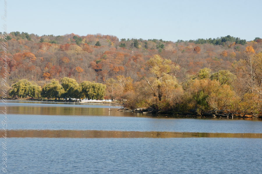
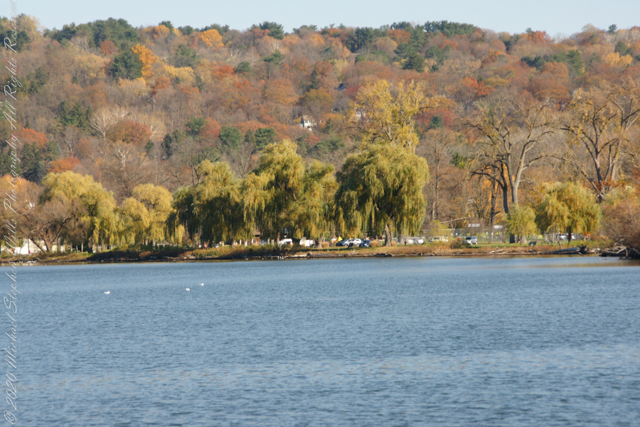
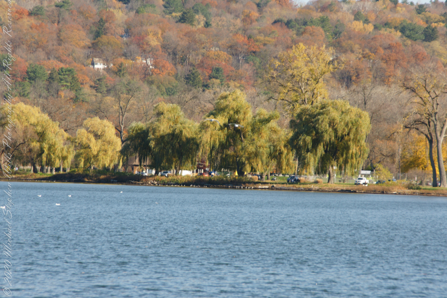
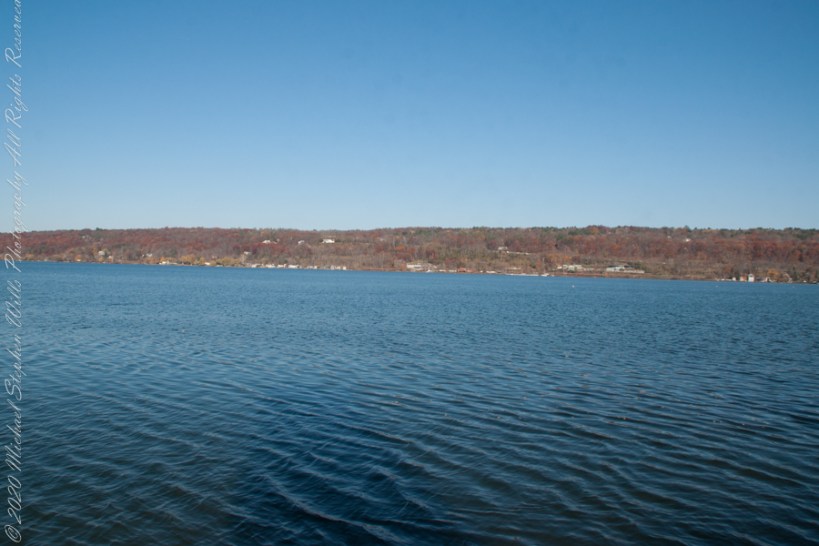
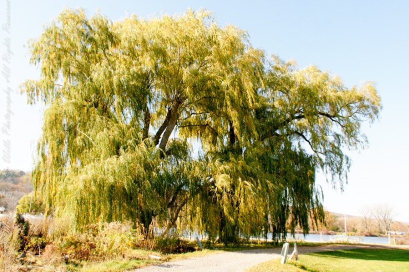
Here is the south end of Cayuga Lake on a bright November afternoon. Stewart Park is enjoyed by Ithacans year round.
Everyone is a fan of the Willows framing the lake views.
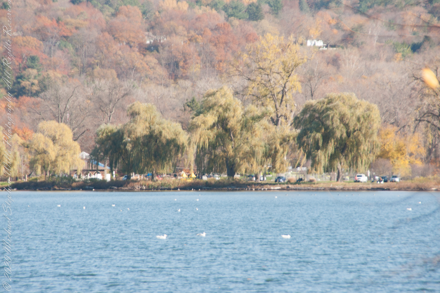
Can’t get enough of Stewart Park..
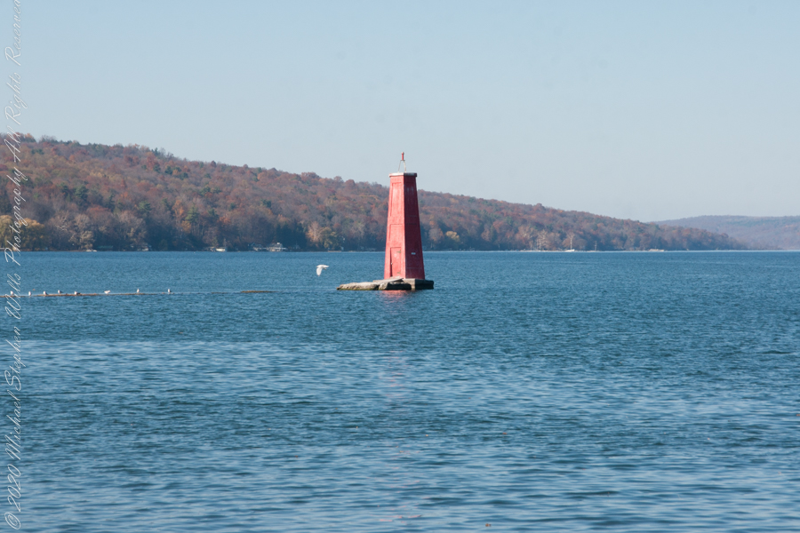
An unzoomed view, to give an idea of the distance across the water.
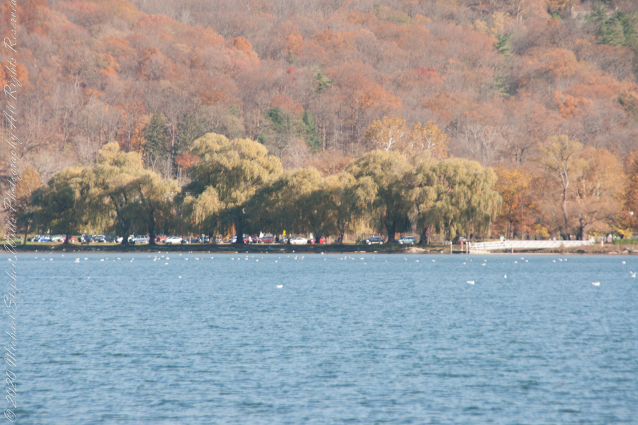
Pam and I have great memories of sailing this stretch from our years of membership in Cornell Family Sailing.
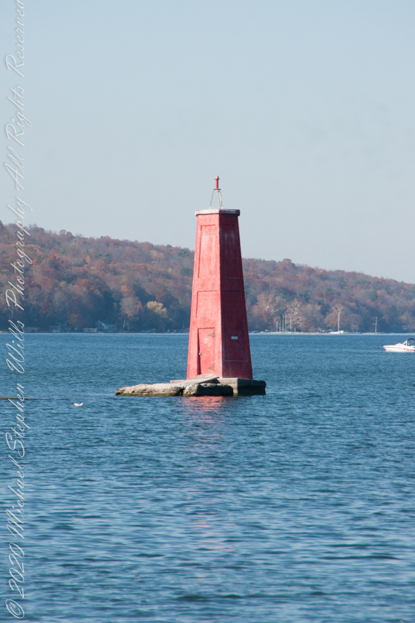
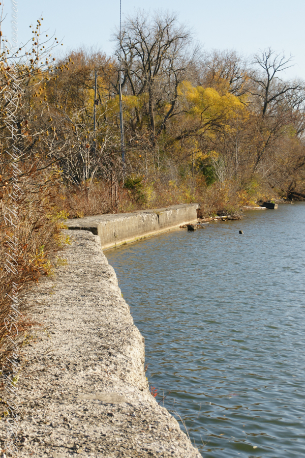
The east lake shore.
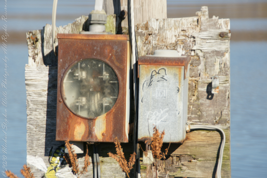
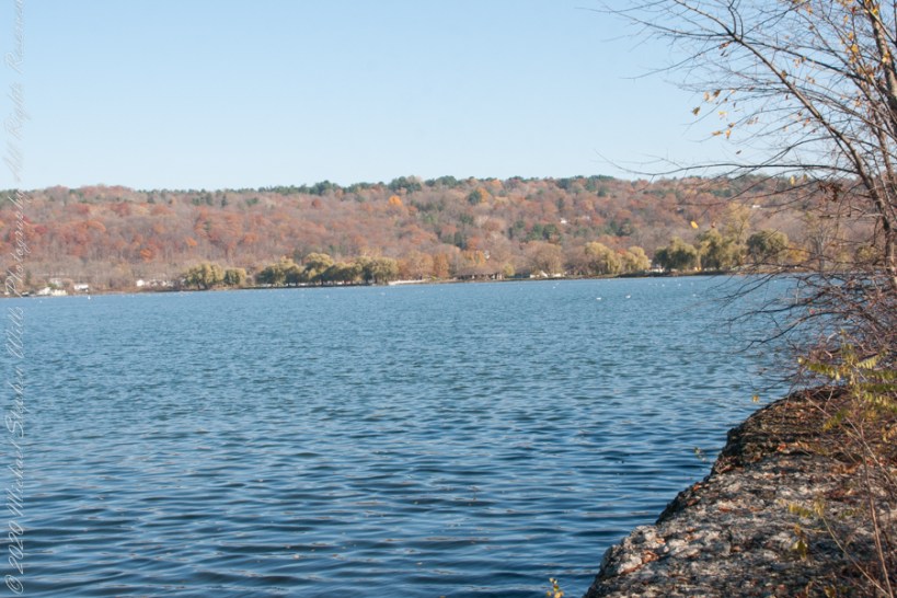
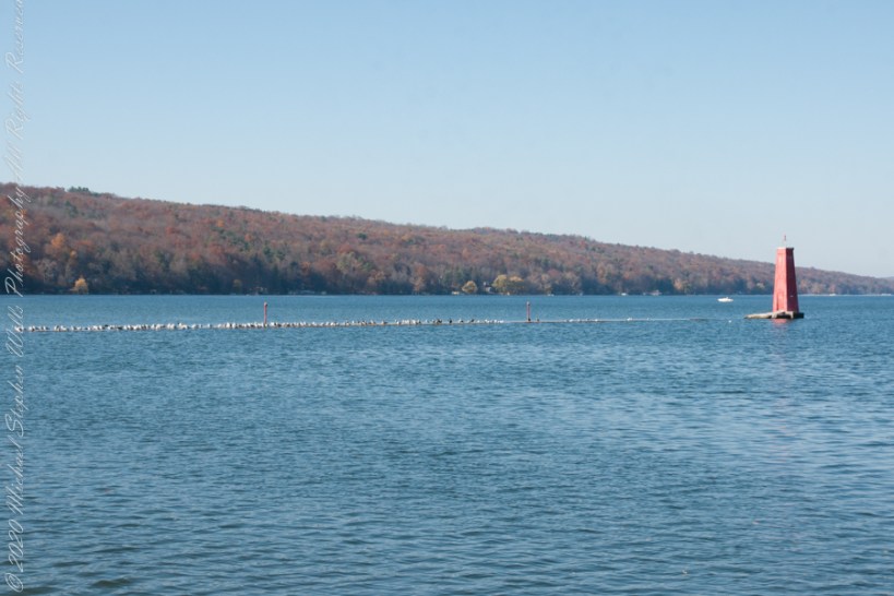
The West Lake Shore. This photograph captures the electric line that powers the Red Tower light. Seagulls enjoy that causeway…I’ve never seen humans walk it.
Copyright 2022 Michael Stephen Wills All Rights Reserved
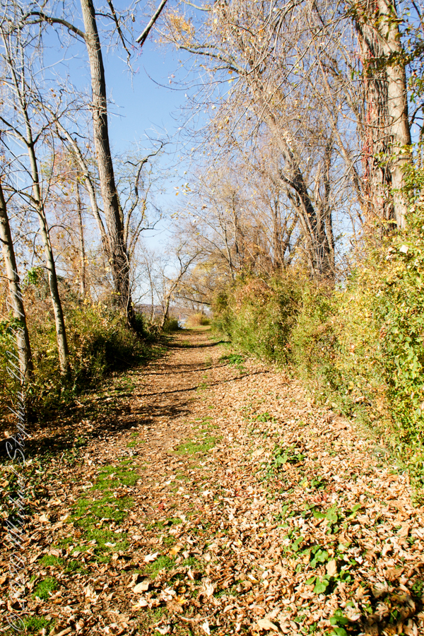
Post 1 of Lighthouse Point provided an impression of our hike along the golf course, from there we turned onto this wooded path on the shores of Cayuga Inlet.
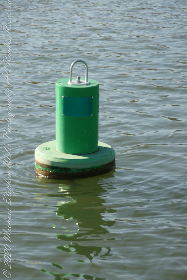
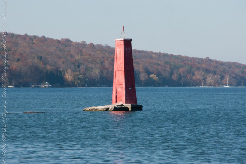
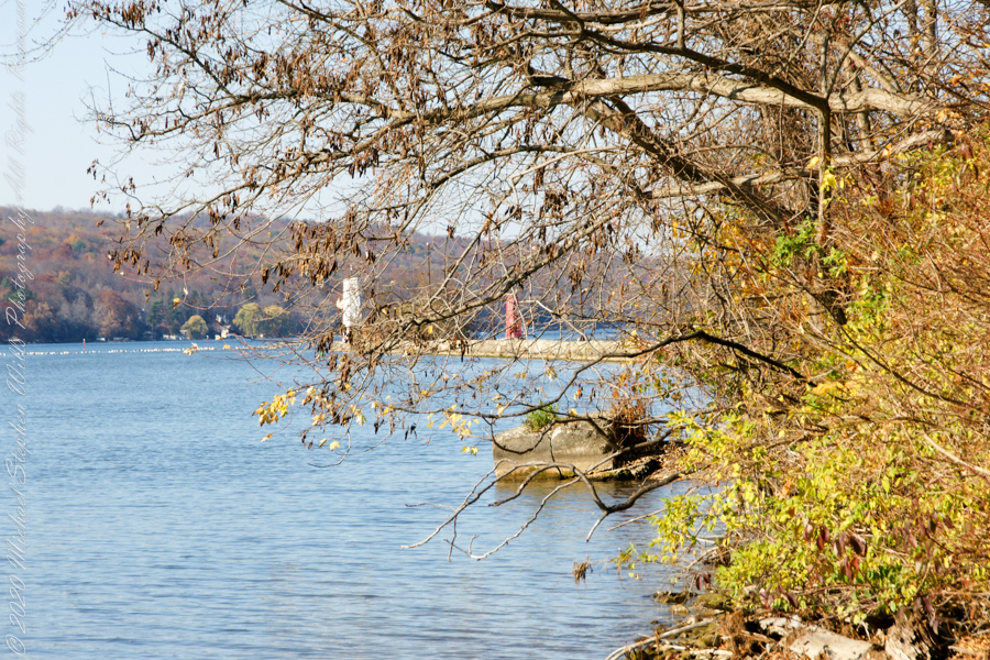
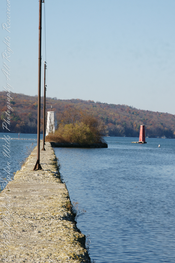
First view of the paired Lighthouses marking the Cayuga Inlet. The white tower is connected to shore by a causeway something less than a quarter mile in length. The red tower marks the other side. These navigation guides allow boats to safely enter the channel exiting the south end of Cayuga Lake. The Erie Canal connects to the north end, allowing access to the Great Lakes and, eventually, the Atlantic Ocean.
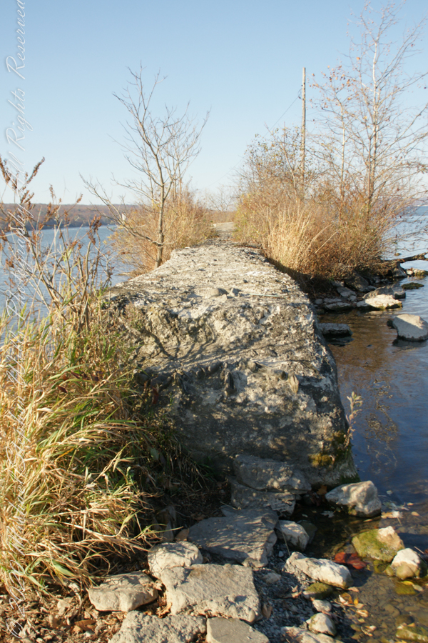
The 4-foot-high step up to the concrete causeway path is an insurmountable obstacle to some. I managed to clamber over.
Looking back to shore….
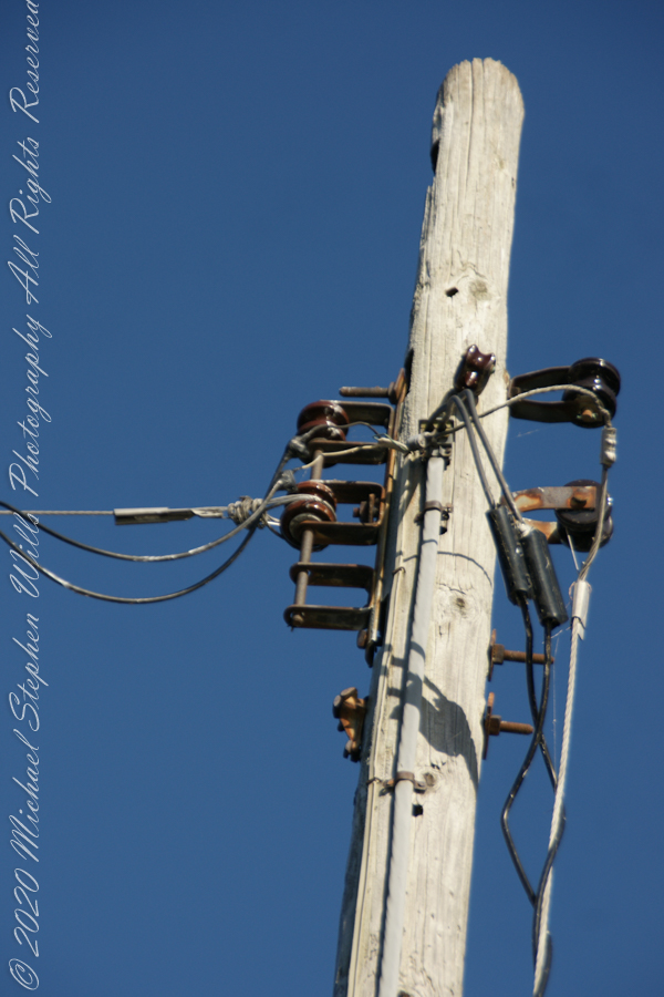
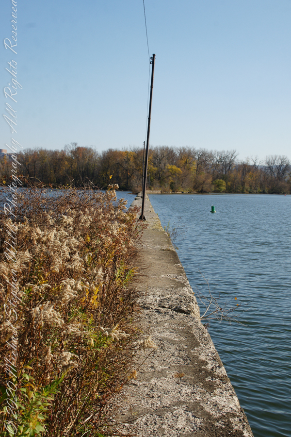
Rusted iron poles support the electric line for the white tower. They remind me of ship masts.
The straight shot back to shore.
Copyright 2022 Michael Stephen Wills All Rights Reserved
November 3rd, 2022, Blessed Us with an azure sky, an Indian Summer Day. During our walks on Cass Park Shorts we’d look across to see hikers emerging from the gold course to walk the Lighthouse causeway. After decades of longing, these Ithaca residents took upon themselves the adventure of finding the path and walking it. This series of posts documents the walk and some treasures discovered on the way.
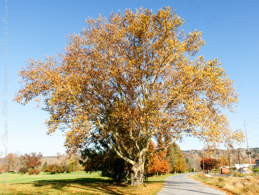
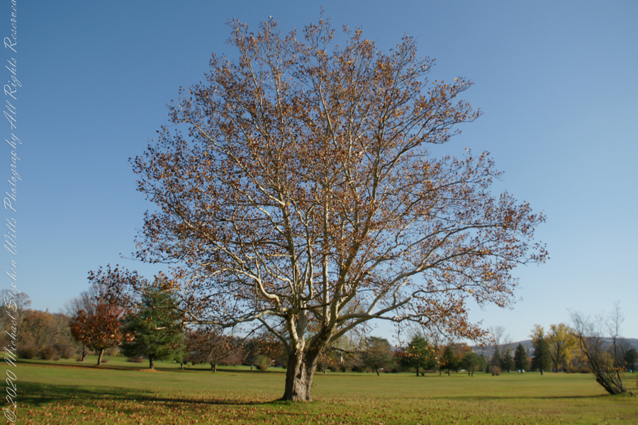
Sycamore, aka Plane Tree
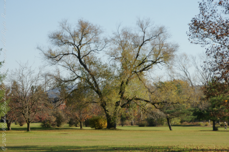
Willow on Cayuga Inlet and Newman Golf Course
might be another Sycamore on the golf course
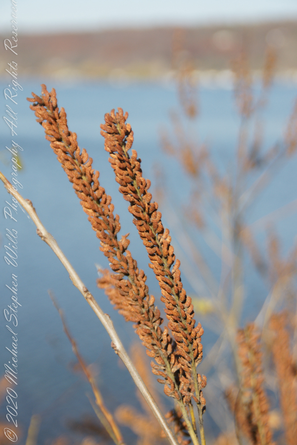
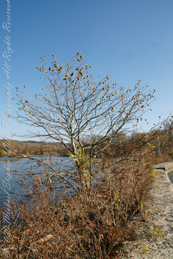
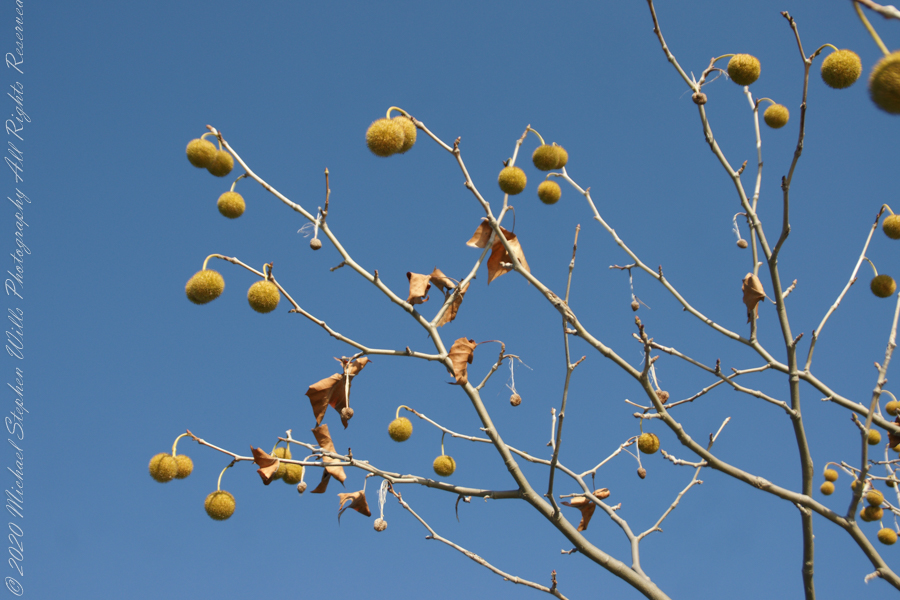
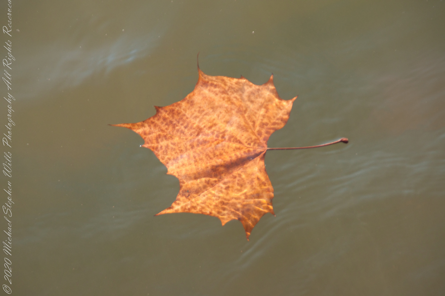
An uncultivated Sycamore sprouting from the causeway leading to the lighthouse “The reason Sycamores are also called “Buttonwood”. Children love to throw these seed heads at each other, sometimes “exploding”The reason Sycamores are also called “Buttonwood”. Children love to throw these seed heads at each other, sometimes “exploding” on impactSycamore leaf floating in Cayuga Inlet
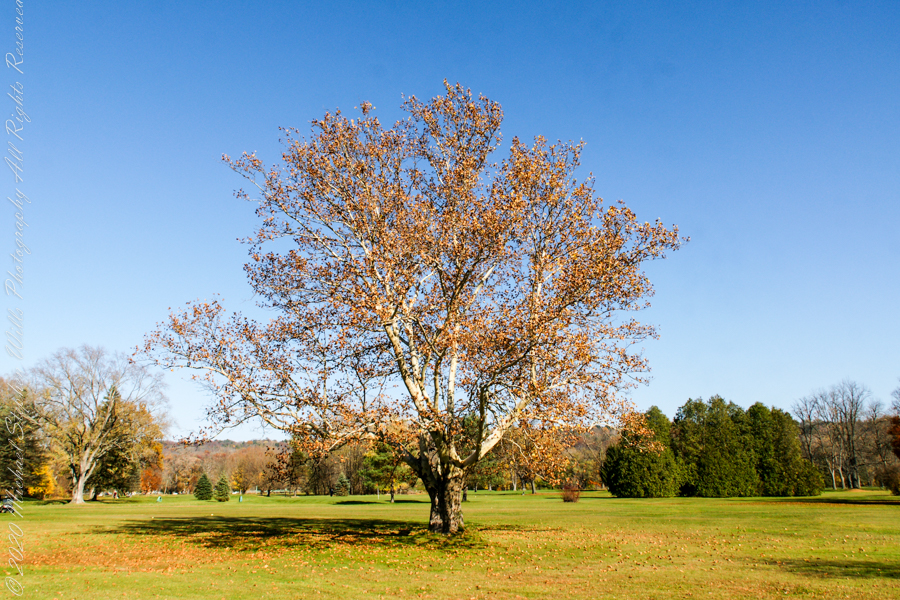
Unidentified tree on golf course
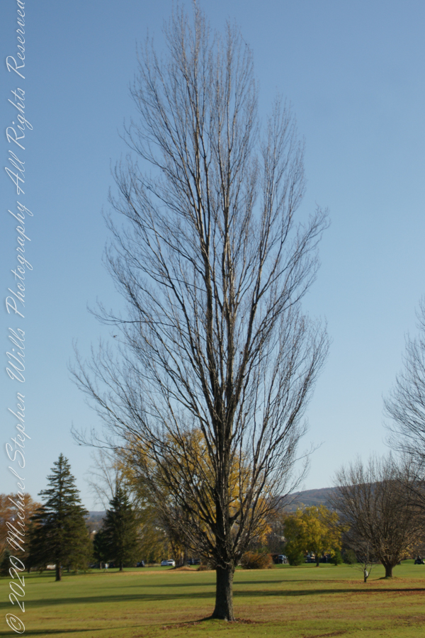
Unidentified tree on golf course
Unidentified tree on golf course
Copyright 2022 Michael Stephen Wills All Rights Reserved
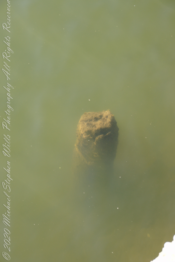
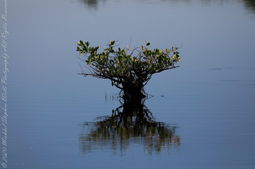
Up Blackpoint Wildlife Drive, about two miles from the entrance, we came to the parking area for Wild Bird Trail Head where I spent an hour or so admiring the sights. This Mangrove sprouting from brackish water is one of three known to grow here.
I’d say it is a Black Mangrove from the color of the bark. “Unlike other mangrove species, it does not grow on prop roots, but possesses pneumatophores that allow its roots to breathe even when submerged. It is a hardy species and expels absorbed salt mainly from its leathery leaves.”
The text in quotes is from the Black Mangrove wikipedia article.
Merritt Island National Wildlife Refuge, Titusville, Brevard County, Florida
Copyright 2022 Michael Stephen Wills All Rights Reserved
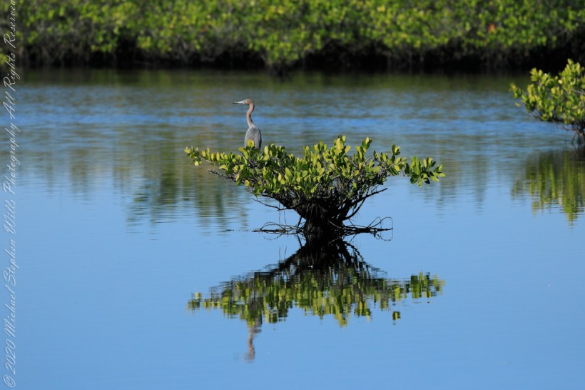
Up Blackpoint Wildlife Drive about two miles from the entrance we came to the parking area for Wild Bird Trail Head where I spent a hour or so admiring the sights.
This Tricolor Heron taking advantage of a perch provided by Black Mangrove growing from the brackish water. I assume it is resting as this heron stalks its prey in shallow or deeper water, often running as it does so. It eats fish, amphibians, crustaceans, gastropods, leeches, worms, spiders, reptiles, and insects.
Merritt Island National Wildlife Refuge, Titusville, Brevard County, Florida
Copyright 2022 Michael Stephen Wills All Rights Reserved
In November 2004, a visit to Canyon de Chelly with guide Hadley Tsosie revealed ancient petroglyphs and ruins, highlighting Navajo culture and the canyon’s unique beauty.
On November 3, 2004 my son, Sean, and I made our way to Chinle, Arizona on the Navajo Reservation at the mouth of Canyon de Chelly.
The next day, driving a rented 4 wheel drive, we arrived at the visitor center, at dawn, and there met Hadley Tsosie who worked as a guide. This is how you do it, if learning about the Canyon is your goal. It is possible to walk, unaccompanied, into the canyon to view the “White House” and this I highly recommend. Tourists can also drive around the rim to various overlooks. This is what most people do.
The canyon is still farmed and the tribe only allows visitors when accompanied by a guide. Only Diné (Navajo) are certified as guides. They know the rights of way and the preferences of the landowners.
We negotiated with Hadley to take us for half a day for our interest in petroglyphs and ruins. It is important to start early when the sun is low in the sky, when directly overhead the details of ruins and petroglyphs are washed out by the light. Catching the late afternoon/evening sun is also an approach that requires detailed knowledge of the route, taking into account the time of year.
Hadley was an excellent choice, though he was our only option on that day. He was fluent in Navajo beliefs, the lore of the canyon and generous in sharing what he knew.
Here is Hadley, approximately 6.2 miles into the canyon with the “Ledge Ruin” behind. We arrived at the junction just in time, before the sun was high enough to wash out the ruin. It is slow going into the canyon what with the deep sand and water that must be negotiated. Hadley did the driving and was expert. We passed other parties bogged down in the wet sand. I do not believe it was luck that kept us moving . We stopped many times to talk and admire the petroglyphs and pictographs.
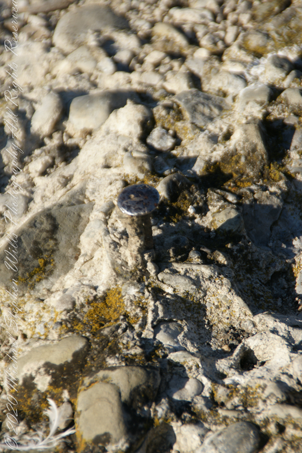
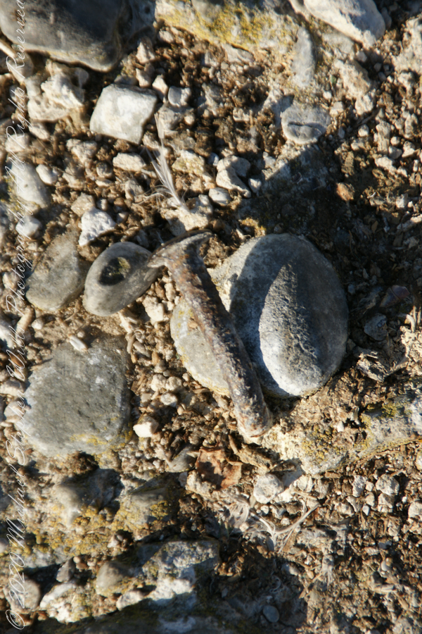
Petroglyphs are symbols incised, or cut, into the surface (the name means petro, “rock”, glyph, “symbol”). In the desert climate of the southwestern USA a thin, dark pigment forms on rock surfaces of overhanging cliffs. The pigment forms from infrequent precipitation, in the form of water, flowing downward over the surface or even dew. The high heat of the desert drives a chemical reaction between water, clays, iron and manganese oxide to form a coating on the rock surface. The dark coating, called “desert varnish”, contrasts with the underlying rock. When it is scraped away a line forms. Many of the petroglyphs were of this form. Others were carved into the rock itself, more time consuming and durable. No one knows when the petroglyphs were made, they were always there are respected. People have inhabited Canyon de Chelly for over a thousand years. The word pictograph has a different meaning when used to describe prehistoric art. The earliest writing were symbols incised in wet clay, then allowed to harden. The pictographs we viewed was prehistoric art, mostly white pigment on the red rock, outlines of hands. There were also kokopelli, the outline of a flute player and jagged lines, symbolizing, Peter told us, lightening.
In November the cottonwoods were in fall foliage, a brilliant yellow under a cloudless sky. The sun is lower in the south and rises later. The Navajo Reservation follows daylight savings time, unlike Arizona. This November morning the sun rose around 7:45 am, so if you are not an early riser this time of year is an excellent choice for a Canyon de Chelly tour.