Island Shrine

part of the Irish landscape

A roadside shrine on Cottage Road, Inishmore. The faith brought by the saints has deep roots here.

A large crucifix set with wet stone walls with cut flowers. The walls are the native limestone.

It is a spring (early June) afternoon and there are fern and wildflowers. The white flowers are Greater Burnet saxifrage (Scientific Name: Pimpinella major).

Click Me for Getty IStock photography of the Aran Islands

The existing dry stone wall was interrupted by the shrine. In the distance are dry stone walls around fields, a stone shed, feeding horses and the sea, being Galway Bay, storm clouds with distant rain.

Aran Islands, County Galway, Ireland.

Click me for the first post of this series, “Horse Trap on Inishmore.”

References: search google “Wet Stone”

Copyright 2022 Michael Stephen Wills All Rights Reserved

Modern Drystone, Dún Aonghasa

a season of wildflowers across a karsk landscape

Modern stonework borders the 1/2 mile path to the inner Dún Aonghasa walls, keeping tourists off delicate plants, maintaining the integrity of this ancient site. 

The view north, northwest over the walled path to Dun Aonghasa (Dun Aengus) looking across karst landscape, walled fields, farms, the North Atlantic Ocean, coast of Connemara and the 12 Bens (12 Pins) mountains. Aran Islands, County Galway, Ireland.

Click the photograph for a larger view.

Click me for the first post of this series, “Horse Trap on Inishmore.”

References: search wikipedia “Dún Aonghasa.”

Galway Bay View from Dún Aonghasa

a season of wildflowers across a karst landscape

Another aspect of the gradual 1/2 mile inclined path to the central ring of the prehistoric Dun Aonghasa ruins of County Galway, Ireland.

The view north, northwest from this way to Dun Aonghasa (Dun Aengus).  In early June, looking across wildflowers, karst landscape, walled fields, farms, the North Atlantic Ocean, coast of Connemara and the 12 Bens (12 Pins) mountains. 

Note the doorway (with long lintel) in the surrounding wall, to left of center in middle distance.

Click the photograph for a larger view.

Click the link for my Getty IStock photography of the Aran Islands
Click me for the first post of this series, “Horse Trap on Inishmore.”

References: search wikipedia “Dún Aonghasa.”

Copyright 2021 Michael Stephen Wills All Rights Reserved

Yikes

…this defensive structure evokes the enormous scale of the struggles around this place of defense. 

A span of 10,000 years spreads between now and the first possibility of settlement on the island of Eire, then swept clean to bare rock by the weight of ice.  Current scholarship of the Dún Aonghasa ruins place a settlement within the inner of the four dry stone rings after 6,500 years (1,500 BC or 3,500 years ago).  By way of scale, the first settlement took 30 times the duration of the U.S. Constitution ratification through 2019 and 16 times from 1,500 BC until 2019 ( 6,500 / 219 = ~30 ; 3,500 / 219 = ~16.  The last state, Rhode Island, ratified the Constitution 1789).

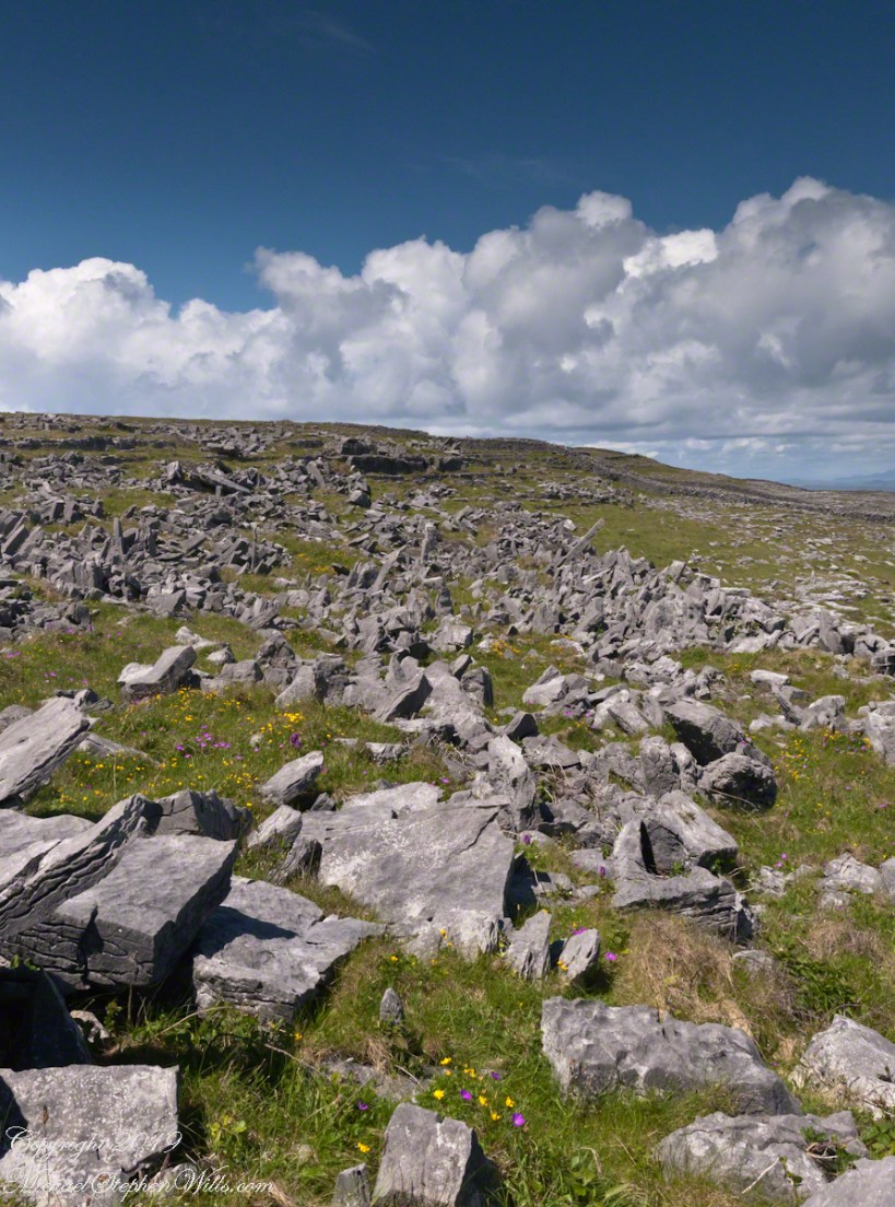
By 700 BC, 2,700 years ago, a series of upright, closely placed stones, were erected between the second and third rings called a cheval de fries field (“Frisian horses” in English) today, this defensive structure evokes the enormous scale of the struggles around this place of defense.  

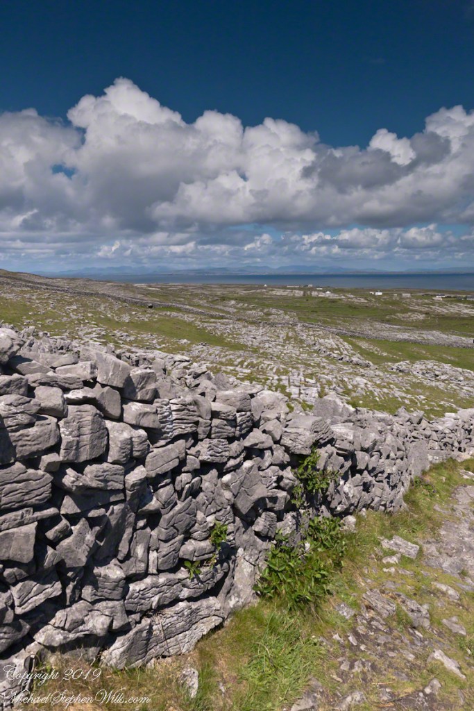
This is a portion of that field, I believe, taken as Pam and I approach the inner ring entrance, walking a wide path cleared of barriers.  Click the photograph for a larger image with caption.

Click the link for my Getty IStock photography of the Aran Islands

Click me for the first post of this series, “Horse Trap on Inishmore.”

References: search wikipedia for “Dún Aonghasa” and Google “cheval de fries definition” and “Dún Aonghasa.”

Copyright 2019 Michael Stephen Wills All Rights Reserved