Click photograph for a larger view. To do this from WordPress Reader, you need to first click the title of this post to open a new page.
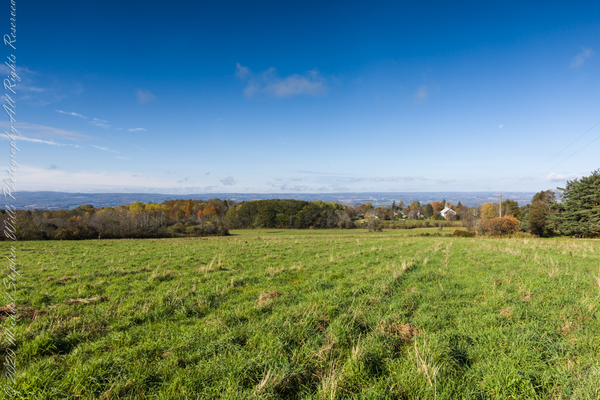
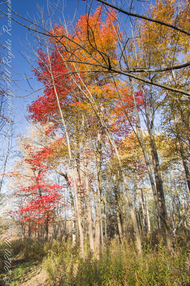
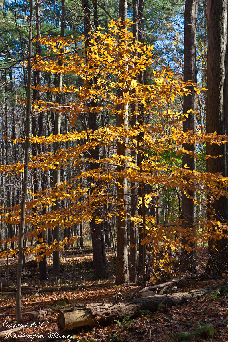
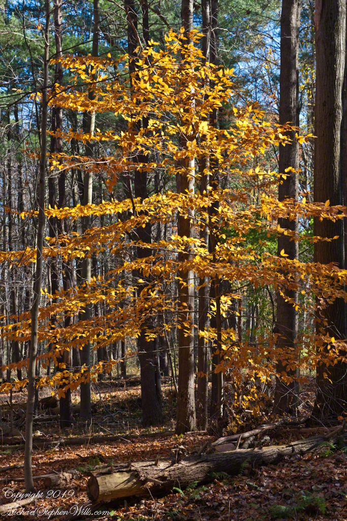
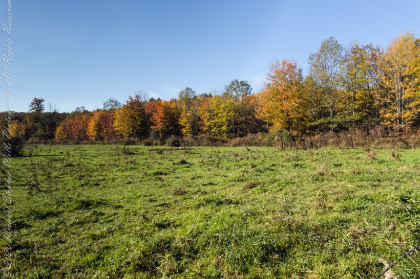
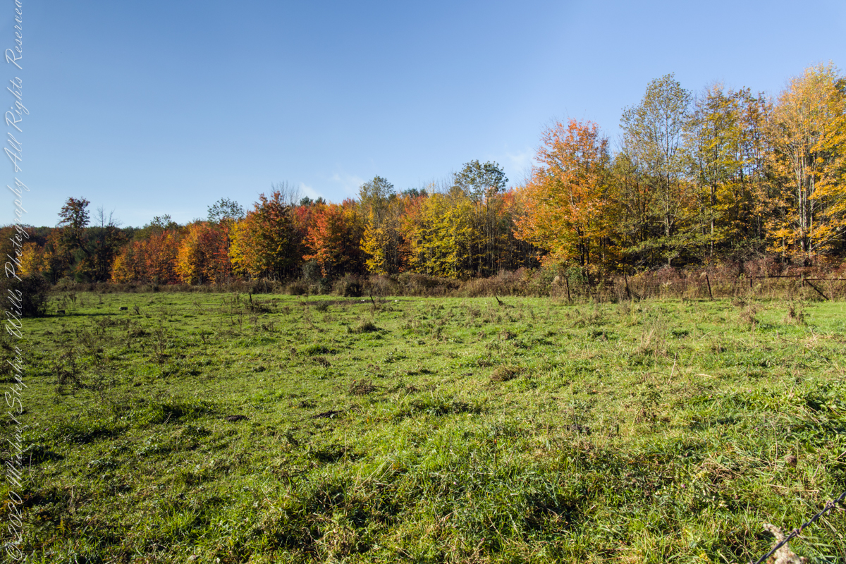
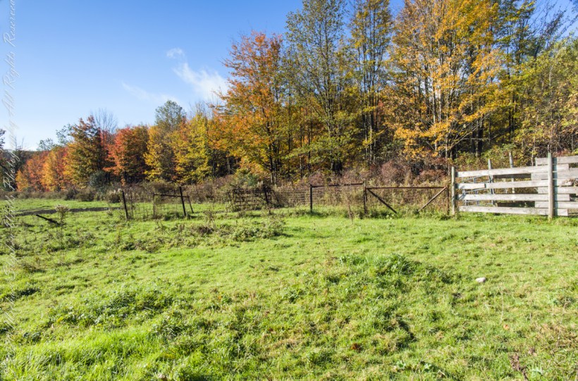
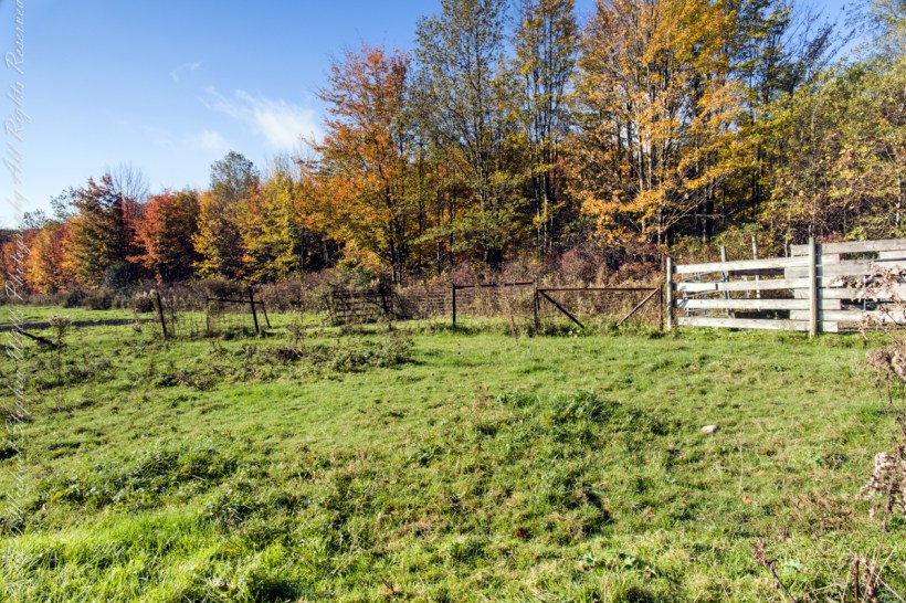
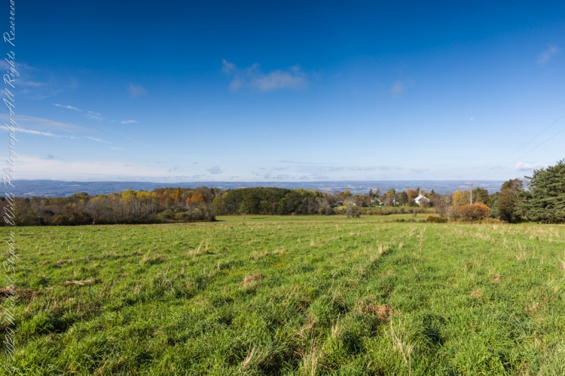
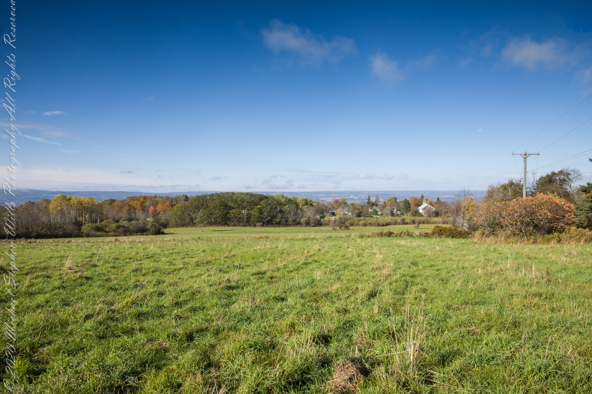
Finger Lakes National Forest is a patchwork of ancient forest, gorges and marginal farmland abondoned for decades such as this emerging forest next to an actively farmed pasture.
In the long history of this forested ridge two Iroquois tribes visited this unproductive land for tree nuts and hunting, unproductive in that the soil did not support agriculture. After the Revolutionary War, the British siding Iroquois tribes were driven away and the land given as one mile square blocks to soldiers, in payment for service. Those who settled this ridge cleared the land and farmed as best they could. During the Depression era, many of these farms were abandoned and others sold to the Federal government.
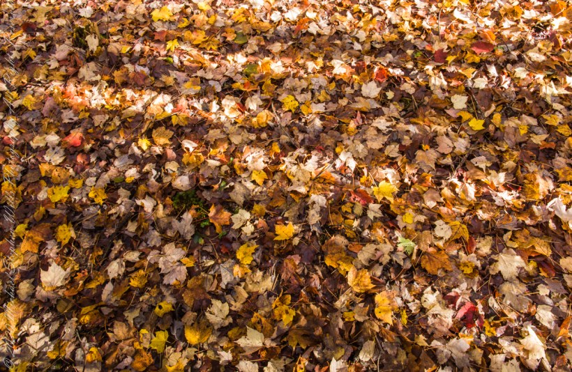
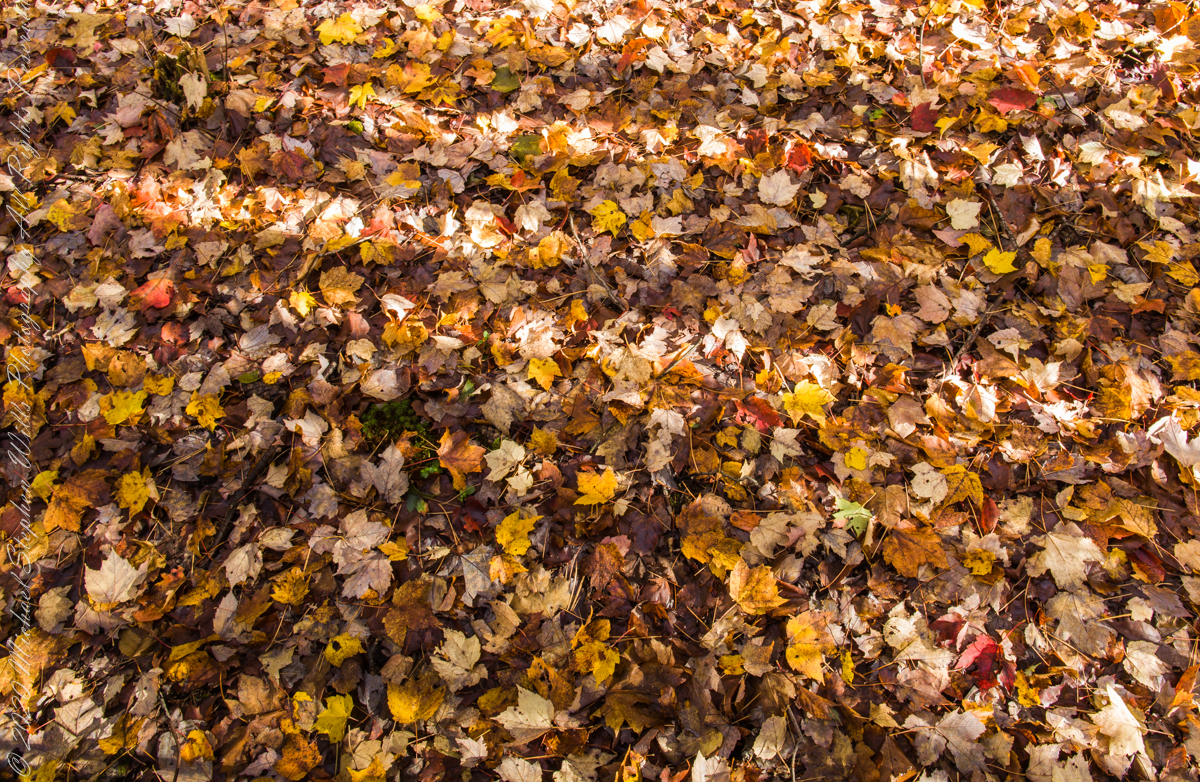
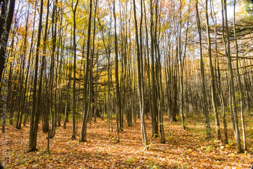
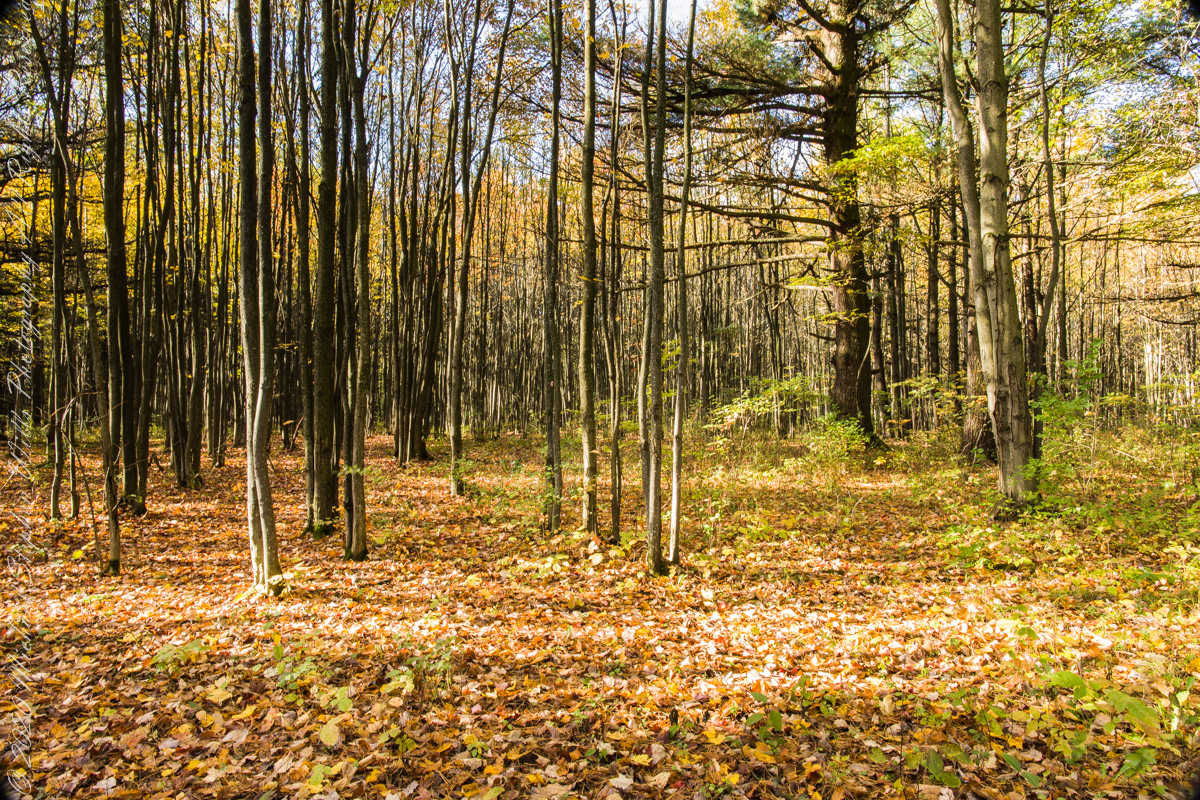
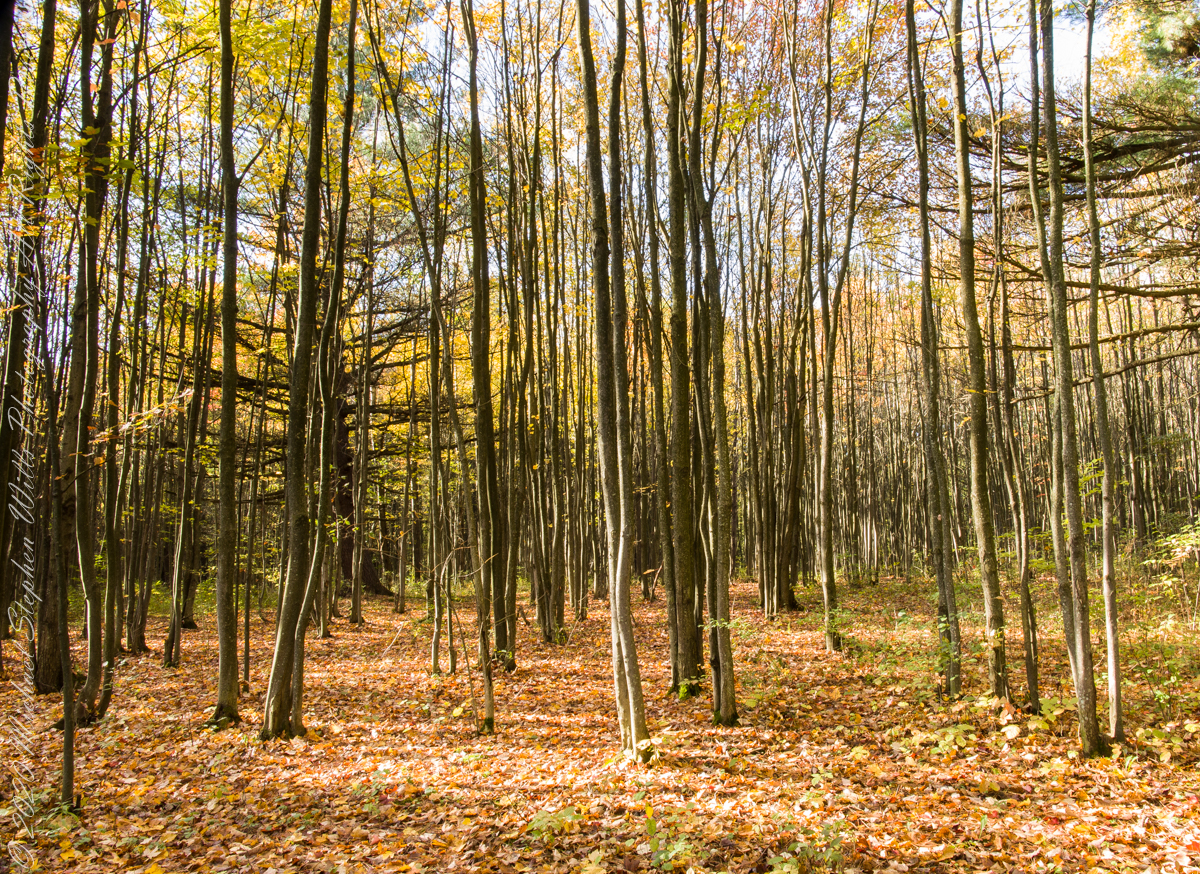
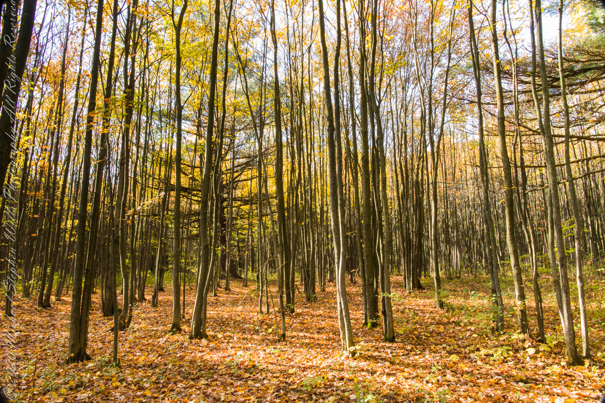
Wednesday last I enjoyed shuffling along a forest carpet along the South Rim Trail of Taughannock Falls Park. It is a lost pleasure now the first snow is with us.
Click photograph for a larger view. To do this from WordPress Reader, you need to first click the title of this post to open a new page.
Leaf Carpet on South Rim Trail
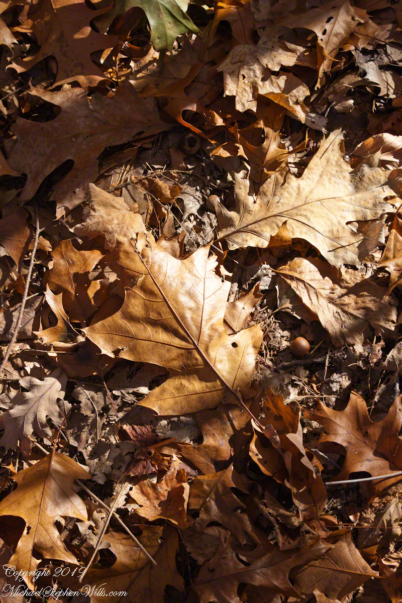
Oak Leaves, forest floor
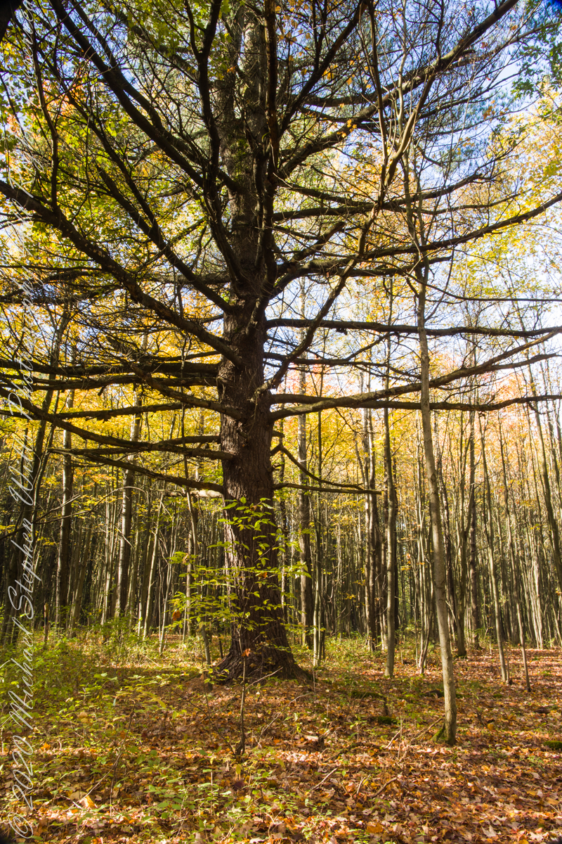
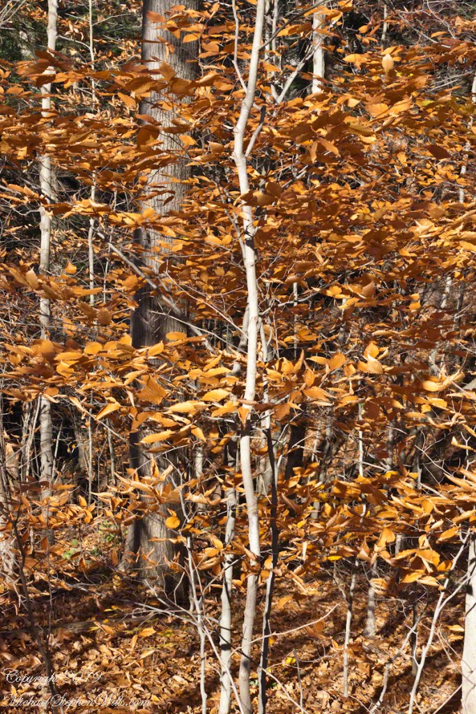
Understory Autumn
Photographs in Gallery
Leaf Carpet on South Rim Trail
Oak Leaves, forest floor
Understory Autumn
Copyright 2021 All Rights Reserved Michael Stephen Wills
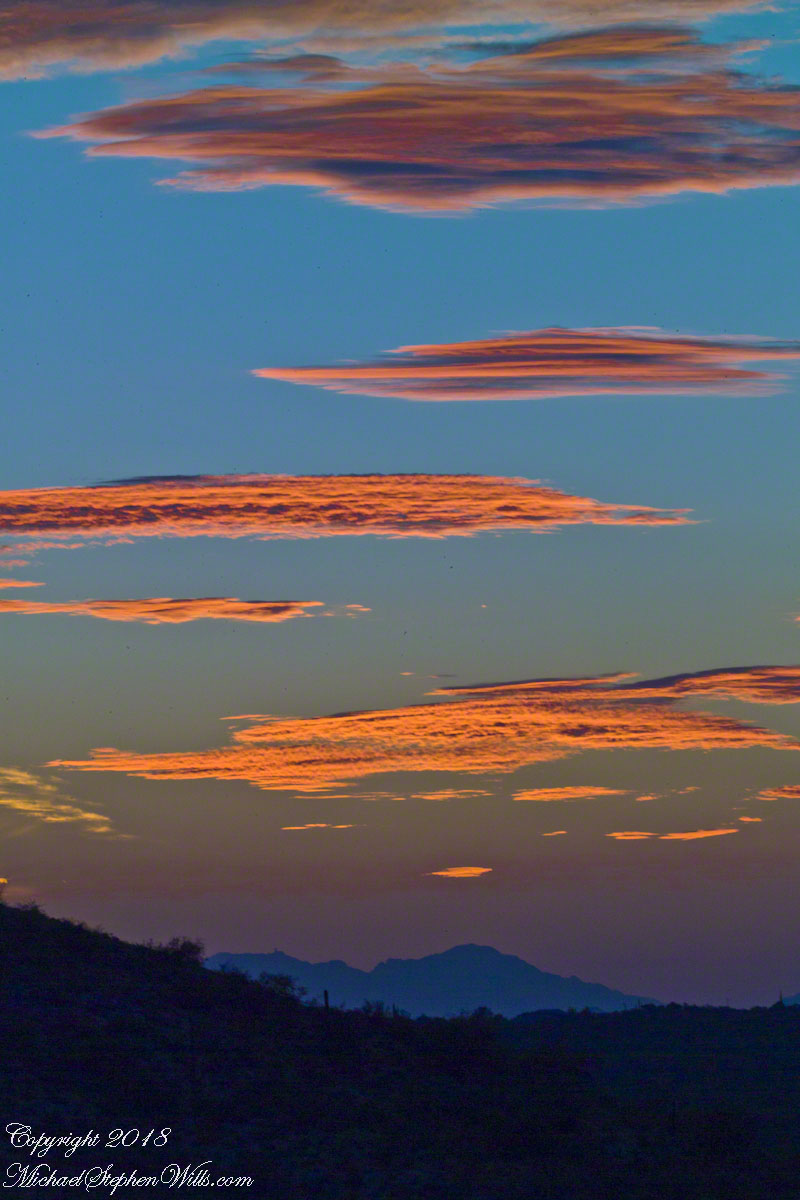
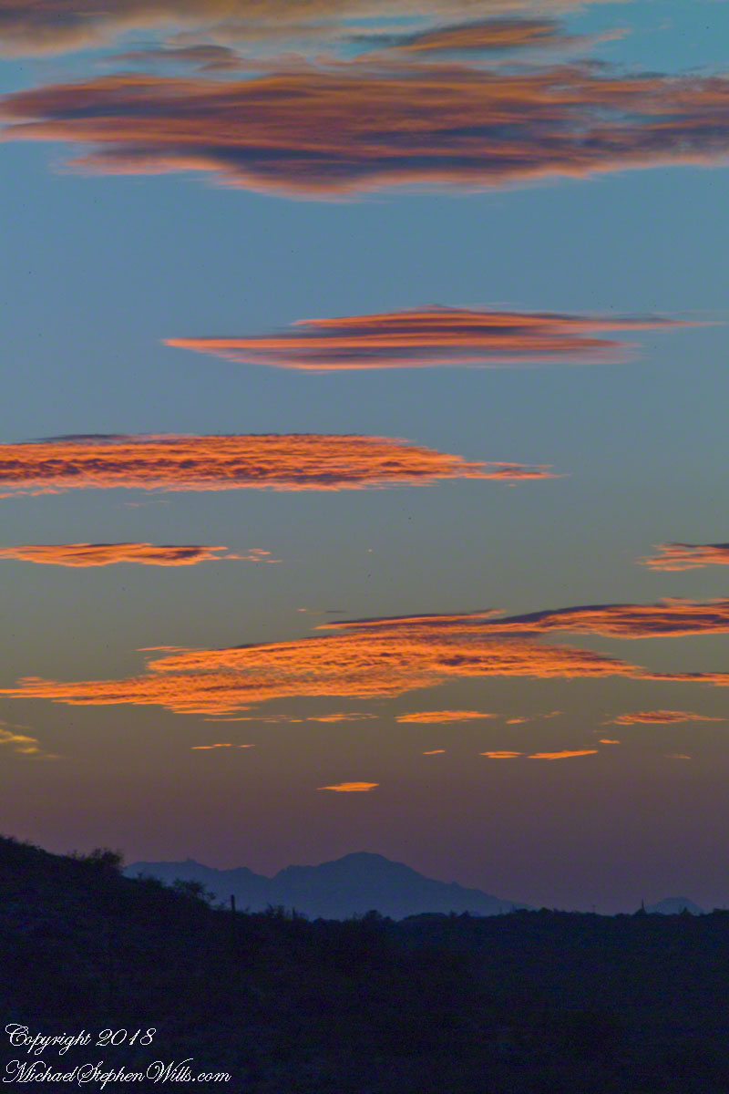
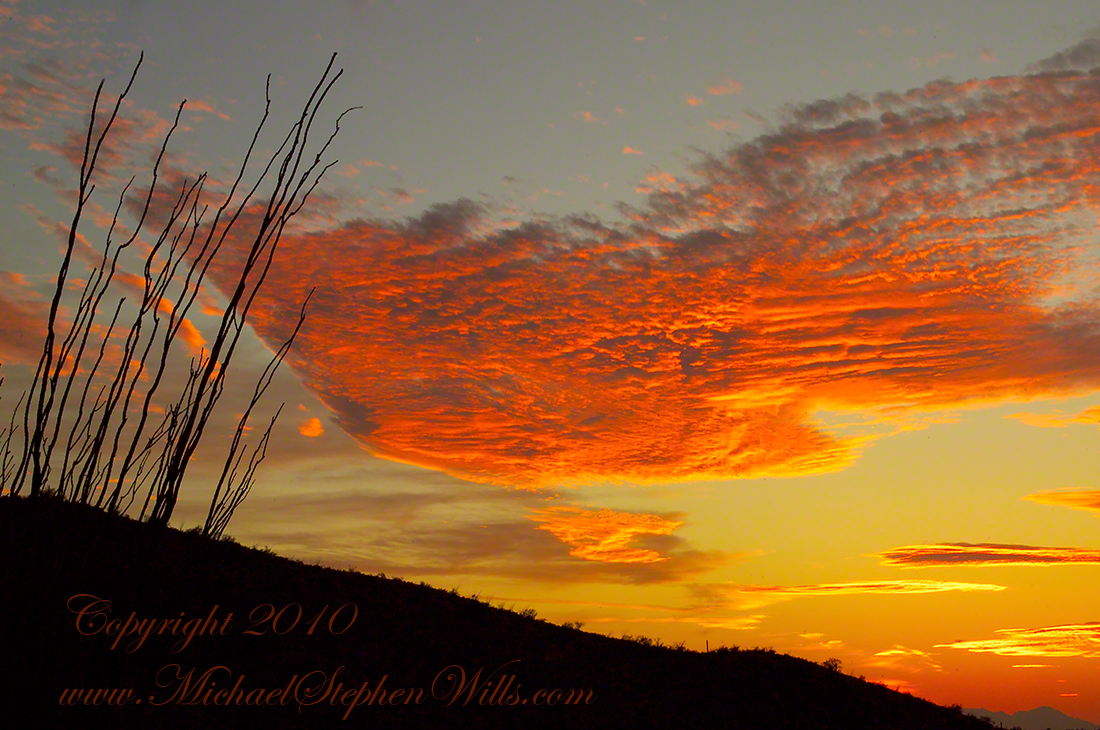
Here is a postscript for my retrospective diary of the day I created my print “Ocotillo Sunset.” You can visit “Ocotillo Sunset” in my Online Gallery by clicking on any photograph .
In near total darkness, the last sunlight only enough for the far western sky, these are the last shots of this series.
Click photograph to view Ocotillo Sunset in my Online Gallery
Afterglow I
Click photograph to view Ocotillo Sunset in my Online Gallery
Afterglow II
The final result of the day’s work, “Ocotillo Sunset.”
Click photograph to view Ocotillo Sunset in my Online Gallery
In the long history of this forested ridge two Iroquois tribes relied on this land for tree nuts and hunting, the soil did not support agriculture. After the Revolutionary War, the British siding Iroquois tribes were driven away and the land given as one mile square blocks to soldiers, in payment for service. During the Depression era, many of these farms were abandoned and others sold to the Federal government.
Today, there is a patchwork of private land and National Forest. This line of color marks the forest boundary on the eastern ridge side.
Click photograph for a larger view. To do this from WordPress Reader, you need to first click the title of this post to open a new page.
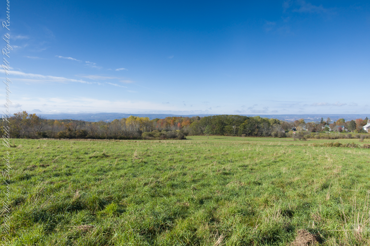
I positioned the tripod against the barbed wire fence marking the posted property. A few barbs and sear goldenrod flowers just visible in the lower right corner.