End of the Beginning

Exploring Arizona in my Fifth Decade of Life

….continued from the chapter “A Rocky End to a Perfect Day.”

The Searcher arrived after breakfast. My camp was bundled up to join the rest of The Searchers equipment and supplies on Colorado’s panniers that replaced the saddle where I sat, and was dumped from, yesterday. This fifth morning of the adventure, I was to have the experience of a light pack for the 4.7 mile trail from Pine Creek to Campaign Creek, past the Reavis Mountain School of Self Reliance.

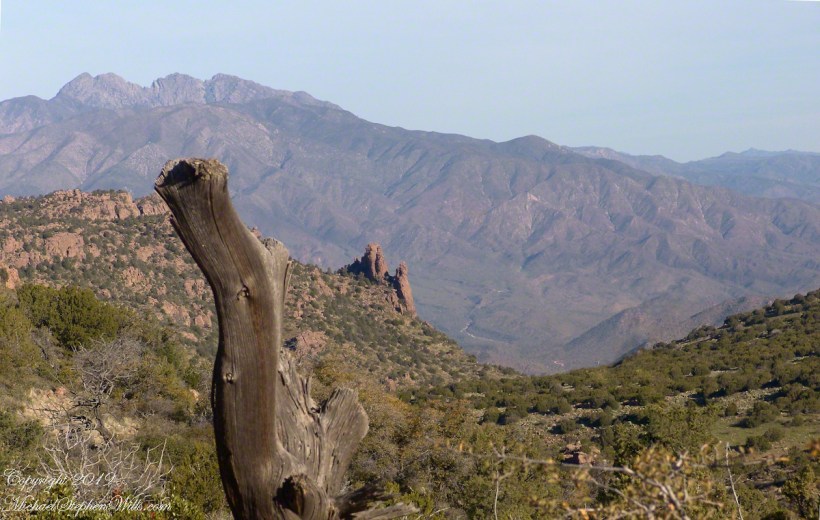
First, there was the climb to the edge of Pine Creek canyon where we, for the last time, enjoyed the view to the north of the Arizona Trail and, in the distance, the Four Peaks Wilderness.

North from Reavis Gap

At Reavis Gap we took a rest before the 1500 descent to Campaign Creek on a trail rated as so difficult backpackers go miles out of the way to access Reavis Ranch.

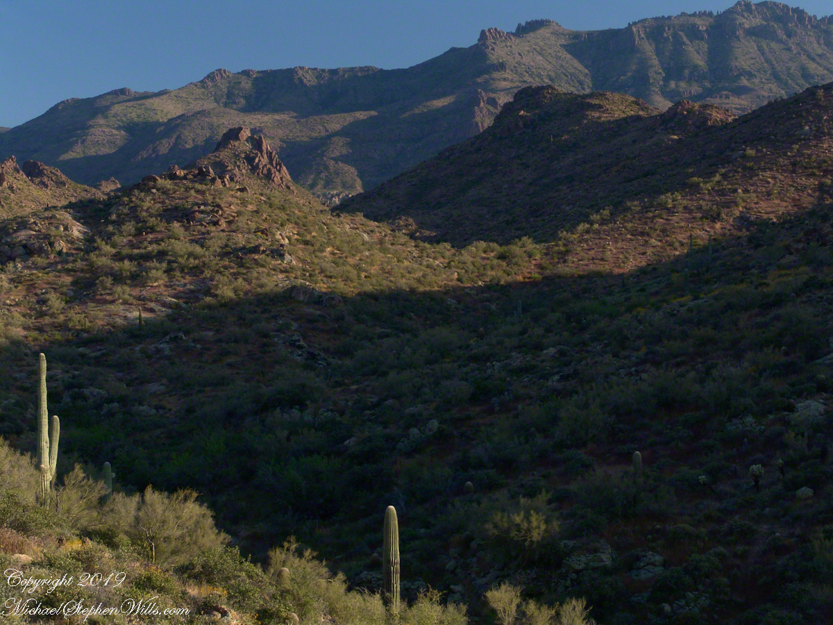
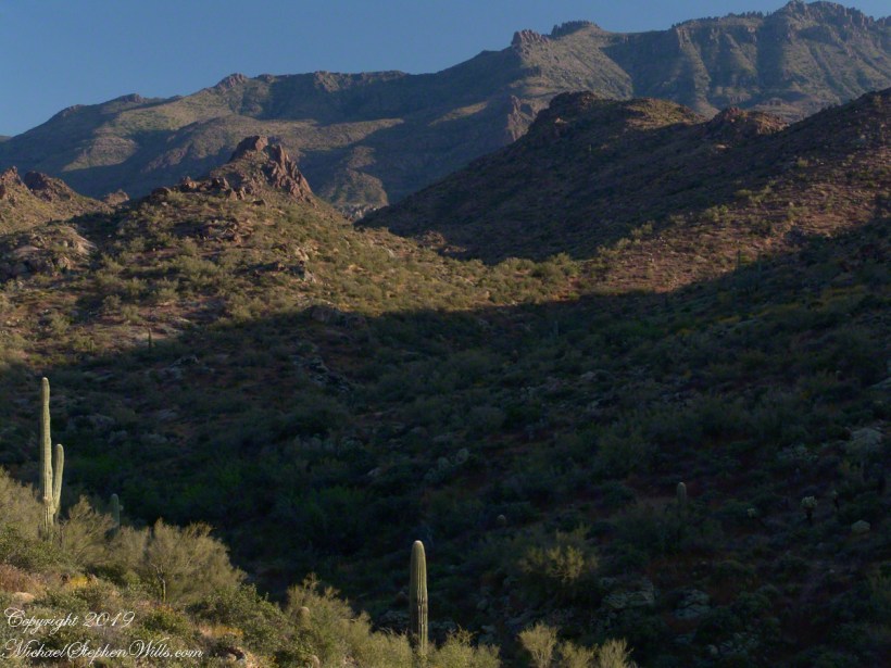
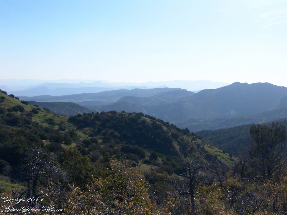
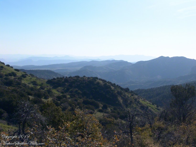
I split an energy bar and took a swig of water before setting up the tripod to capture the following view of our path. The ridge, hazy in the distance of 22 miles, is Apache Peaks, the near descending ridges an improbable green after a wet winter. In the previous photograph, “North from Reavis Gap” you can clearly see the transition from the desert to a grassland biome as the elevation increases.

Generations

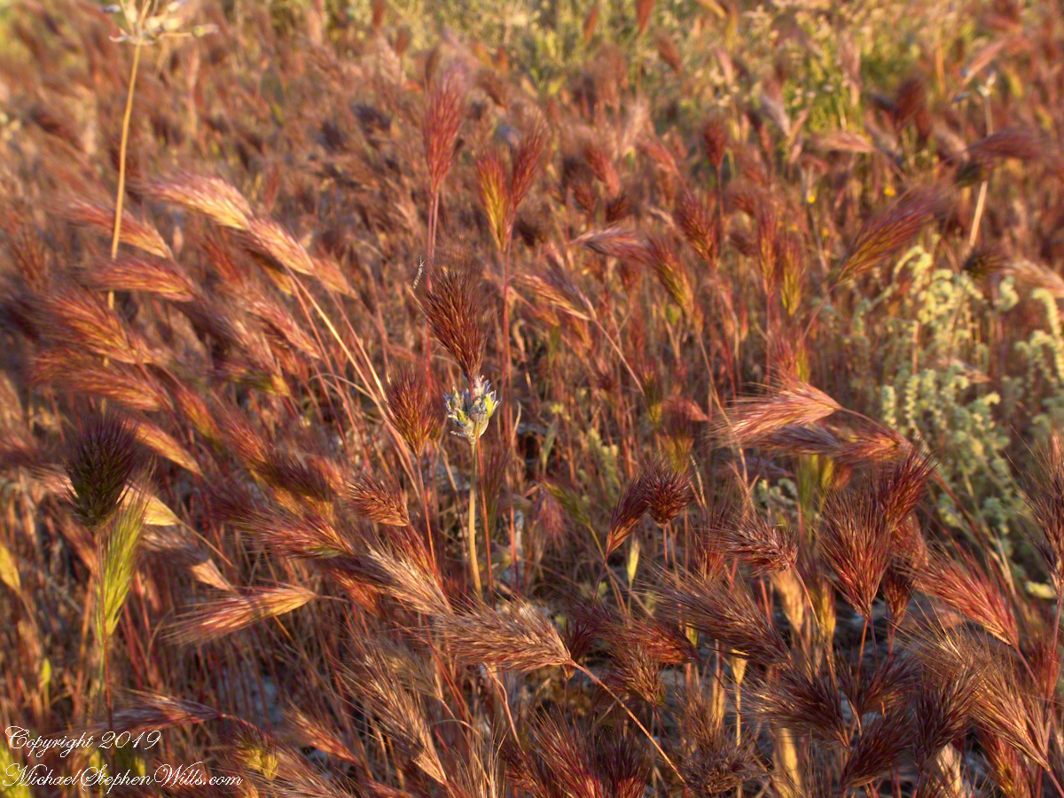
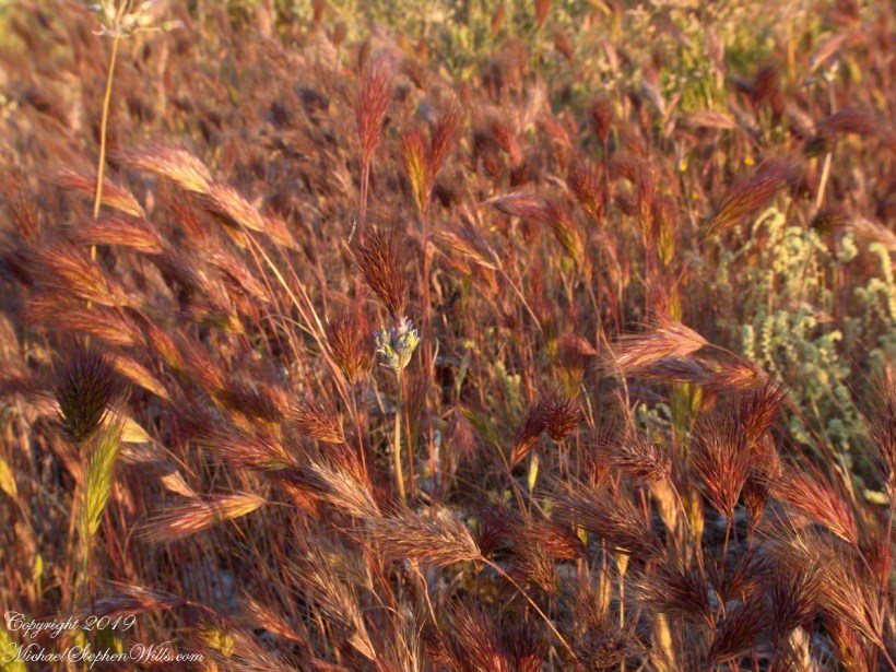
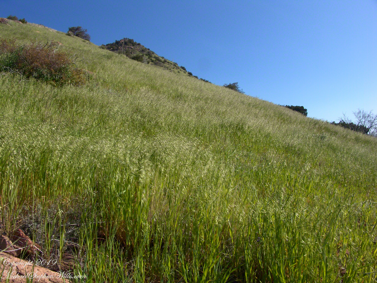
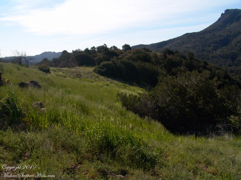
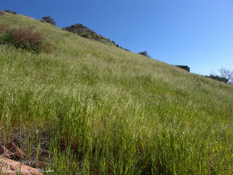
On this, the southern shoulder of Two Bar Mountain, we enjoyed desert grasslands almost the entire length, starting with this unlikely oat field. The higher, eastern Superstitions are the western and northern-most Sky Island of Southern Arizona: rising from the desert as isolated mountain systems, catchments for passing storms, with life zones progressing with altitude, the highest typical of Canada. As with oceanic islands, each is a haven for life with potential for evolution of unique species from the isolating effect of the surrounding desert.

These oats are domesticated grain spilled from a horse or donkey pack to thrive in the decades since, sprouting into this spread of light green after a wet winter, ripening, then turning gold with the summer, the grains falling to wait for the next opportunity. This green hue is my first impression of Reavis Gap, see my post “Two Meetings” for a video of the morning breezes rippling along the hillside.

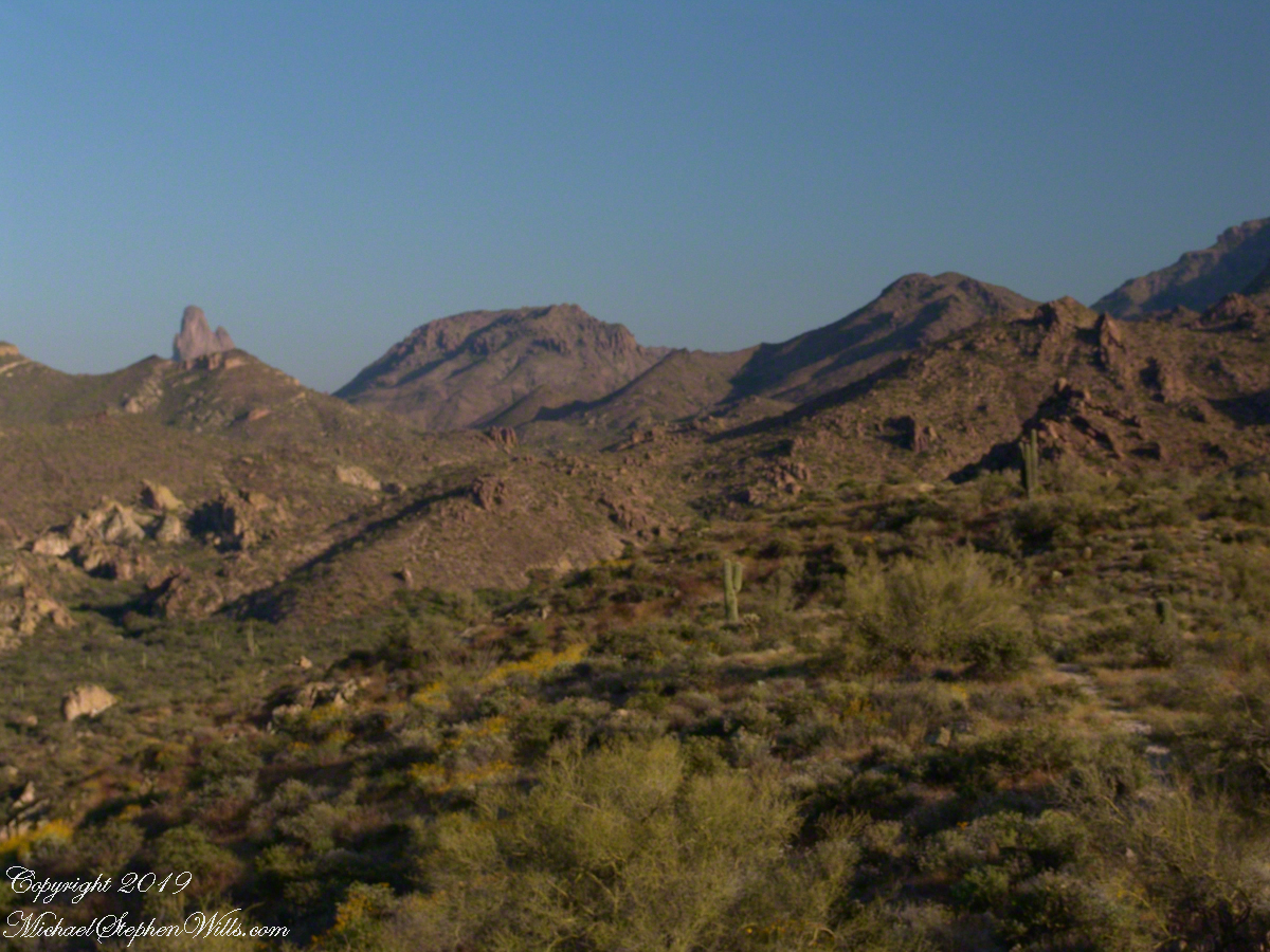
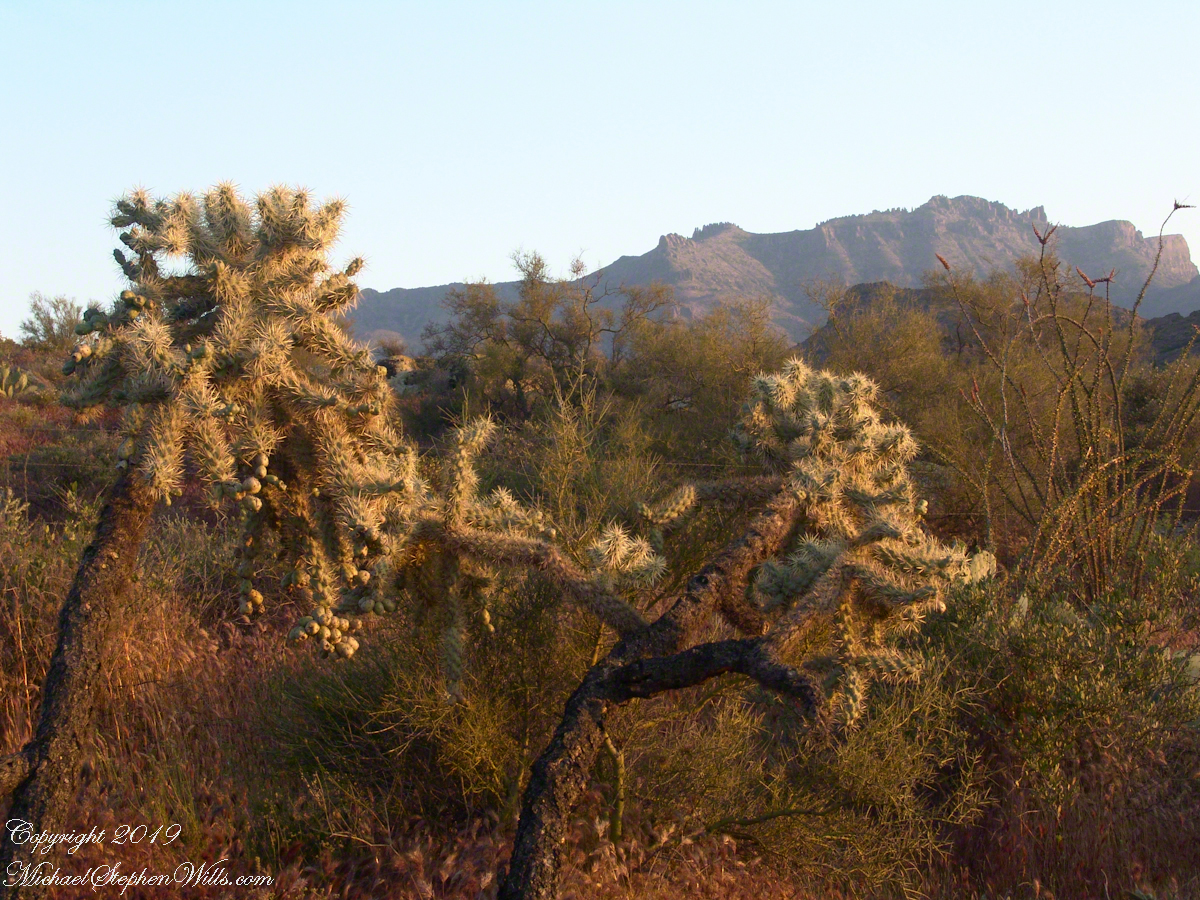
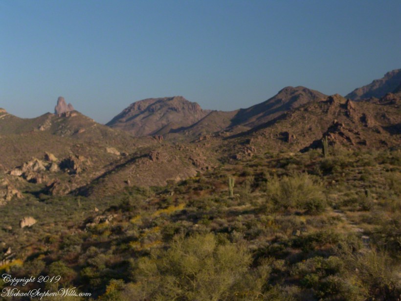
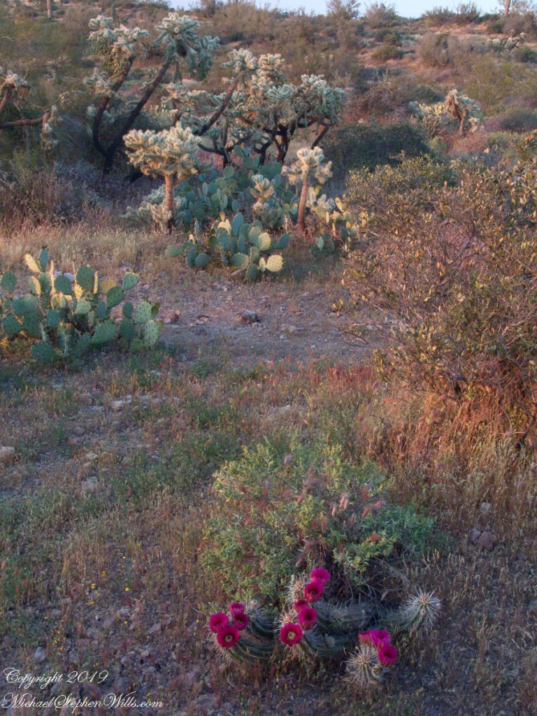
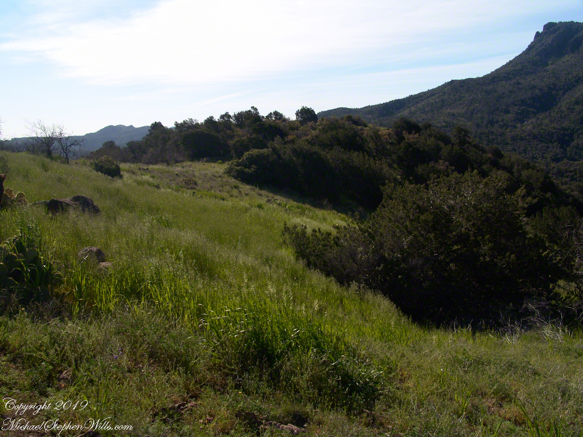
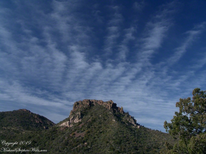
The camera sweeps 180 degrees for all the views from this spot, including prickly pear cactus among the grasses, a butte-like formation to the west, as in the following photograph.

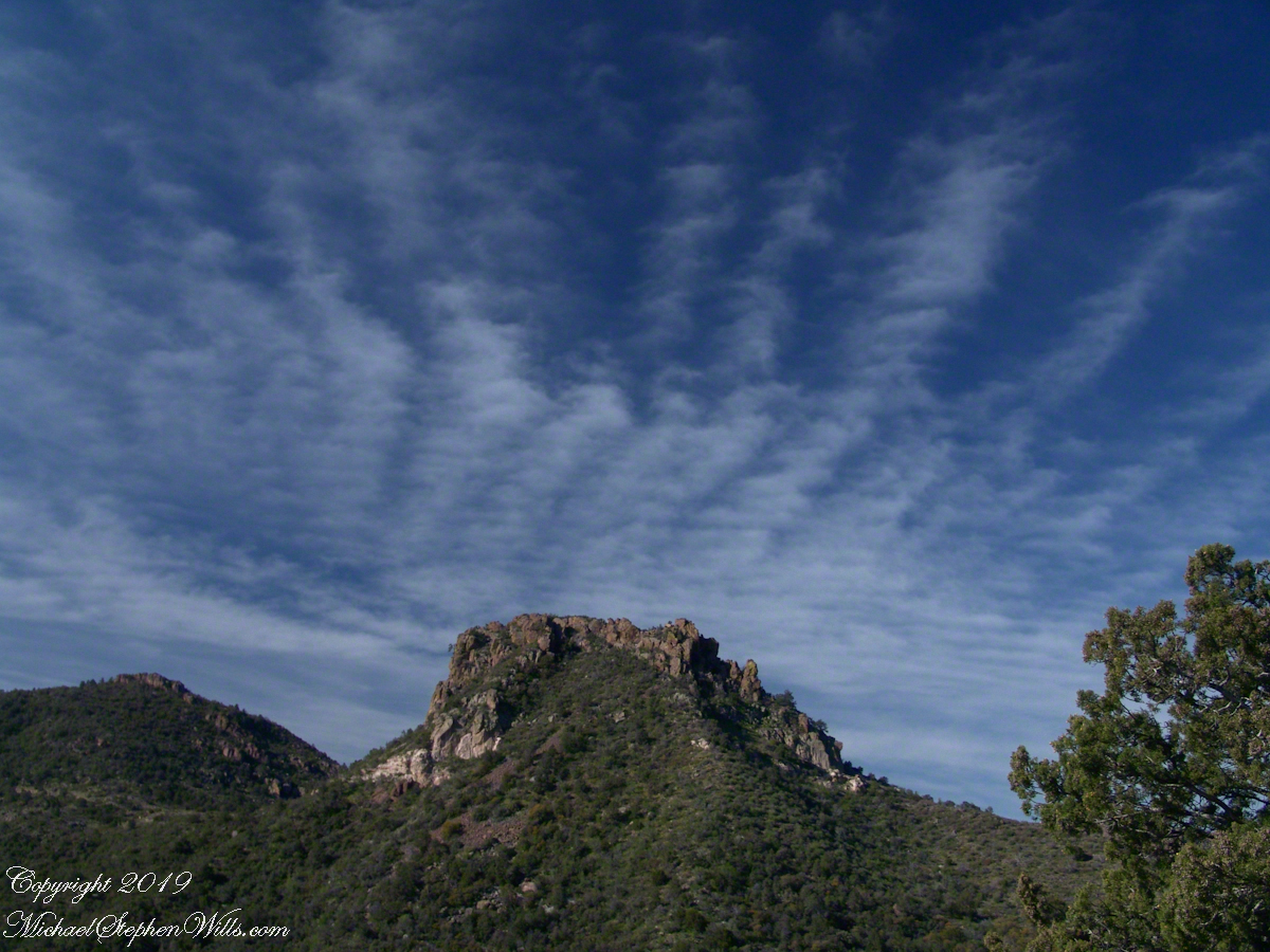
Upper Horrell, the end of the beginning.

We passed the length of the Reavis Mountain School of Self Reliance, the Reavis Gap trail is 100 feet or so higher on the north side. The name “Upper Horrell” is attached to this location. Reavis Gap trail used to start at a ranch house, part of the “Upper Horrell Ranch.” Horrell is the family name of the former owners.

Upper Horrell is a fortunate location for the school, with the perennial Campaign Creek flowing parallel to their 13 acres on which is a large garden, many fruit trees, livestock and poultry. The school provides lodging and classes throughout the year.

The Searcher initiated his time in the Superstitions with wilderness survival classes and they allowed him to park is horse trailer and pickup outside the gates. We were loaded and out of there with a stop at Roosevelt, population 28, where we were the only customers for mesquite grilled hamburgers and french fries. We talked about the potential for future trips and I took him up on an offer to store my stuff until then. In the following years I did more Superstition Wilderness day trips, backpack expeditions, some with my sister Diane, and one horse expedition with The Searcher and a friend.

Here is a gallery of this post’s photographs, for you to flip through.
Click me for the first post of this series.
Across the Plain

Sere grasses

The Finger Lakes are formed by a series of inclined planes spread across central New York State.

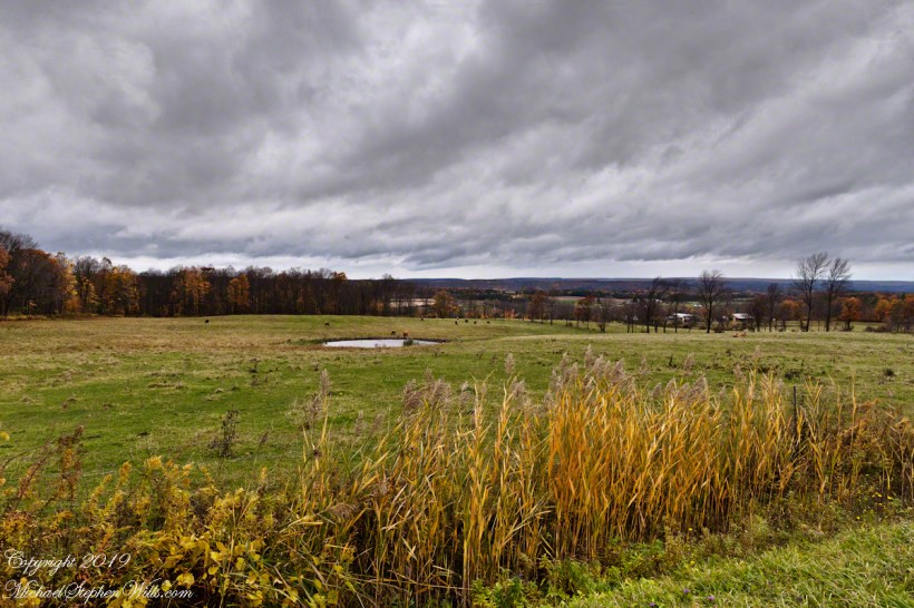
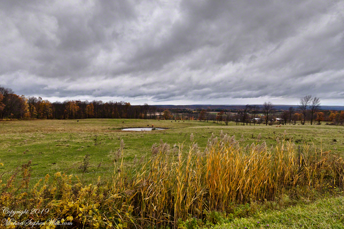
Here we look northwest across the land between Cayuga and Seneca lakes, all forests and farm land. Seneca Lake is not visible,15 miles distant, and the Finger Lakes National Forest in between.

The only town is Hector, New York, population 4,854 in the 2,000 census. The foreground are sere grasses, a field of beef cattle and pond.

Click photograph for a larger view. To do this from WordPress Reader, you need to first click the title of this post to open a new page.
Click to view this series on Getty.

Autumn Apple Orchard, landscape orientation

compare portrait vs. landscape orientation.

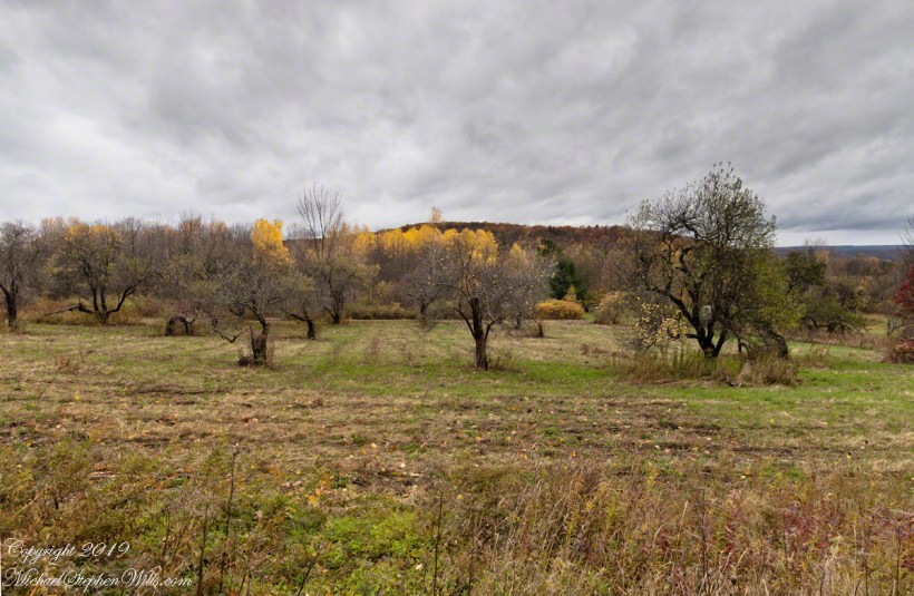
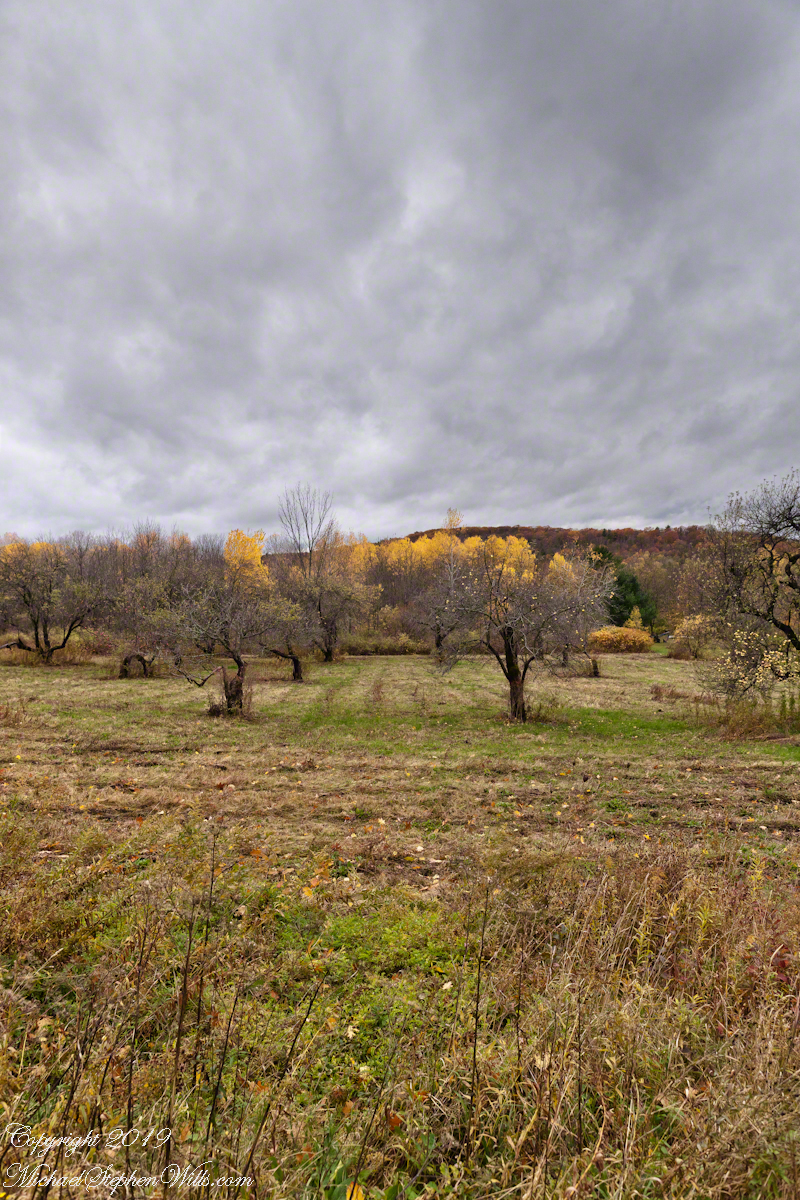
Unharvested apples on the ground and branches of this apple orchard off Black Oak Road on the slopes of Connecticut Hill, Newfield in the Finger Lakes of New York.

Click photograph for a larger view. To do this from WordPress Reader, you need to first click the title of this post to open a new page.
Click to view this series on Getty.

Autumn Apple Orchard, portrait orientation

apples cling into winter

Unharvested apples on the ground and branches of this apple orchard off Black Oak Road on the slopes of Connecticut Hill, Newfield in the Finger Lakes of New York.

Click photograph for a larger view. To do this from WordPress Reader, you need to first click the title of this post to open a new page.
Click to view this series on Getty.

Black Oak View

Autumn Ridge

Black Oak Road approaches Connecticut Hill from the north. At this point a long view to west opens up that include Cayuta Lake and the distant highlands of Seneca Lake.

Click photograph for a larger view. To do this from WordPress Reader, you need to first click the title of this post to open a new page.
Click to view my Finger Lakes photography on Getty.

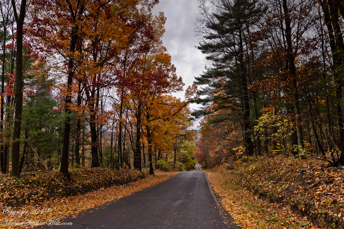
Autumn Road

A Long View

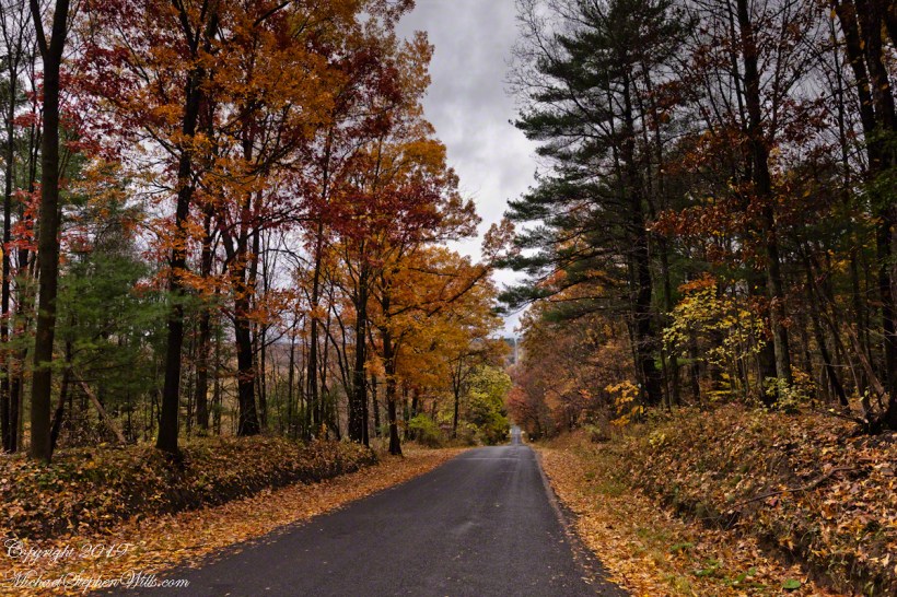
Here we have a vista of Bostwick Road descent off West hill into the Enfield valley and, then, in the distance, up Harvey Hill. Late autumn foliage graces the scene.

Click photograph for a larger view. To do this from WordPress Reader, you need to first click the title of this post to open a new page.
Click to view this series on Getty.

Last Hike

A sllideshow

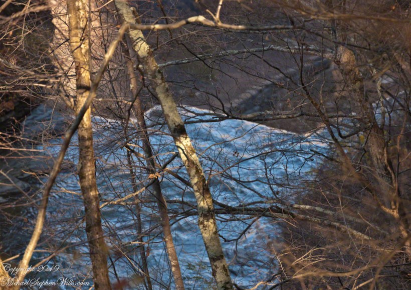
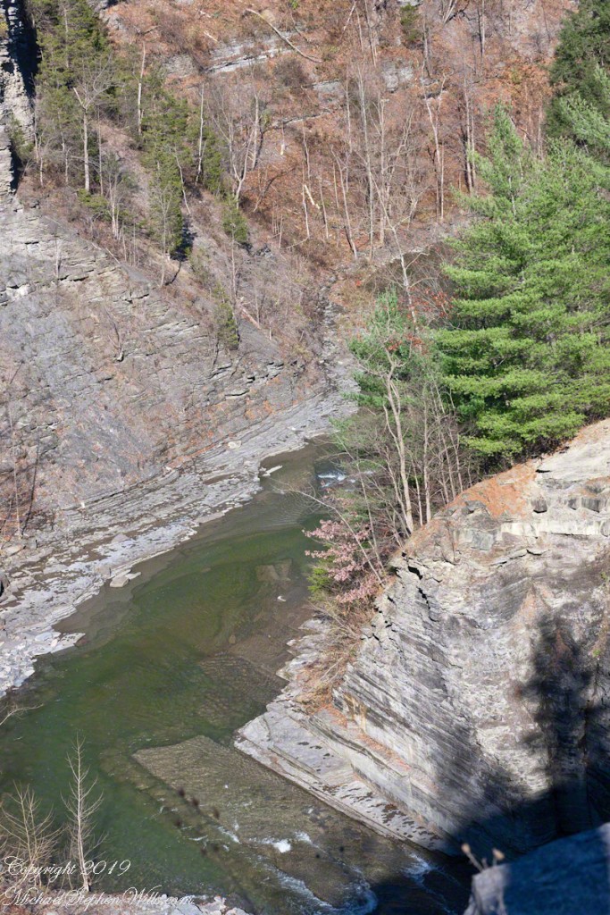
Thank You for exploring the South Rim trail of Taughannock Falls State Park on the last perfectly sunny autumn day of 2019.

A sunny November Walk

Click photograph for a larger view. To do this from WordPress Reader, you need to first click the title of this post to open a new page.

Click me for the first post of this series, “Cuteness Break.”

Lone Elm

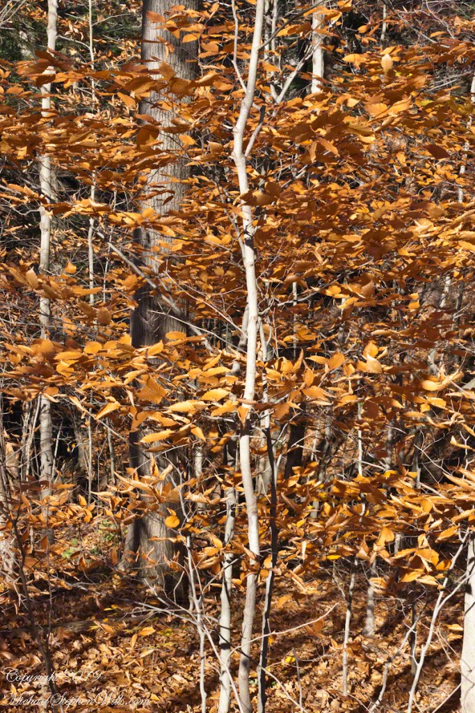
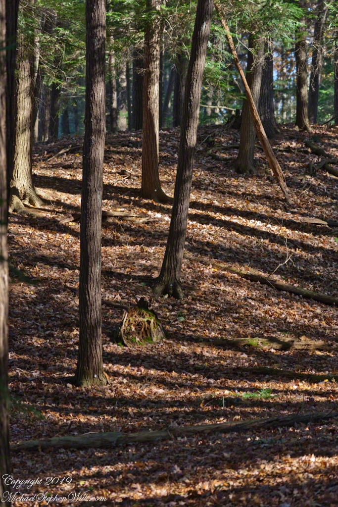
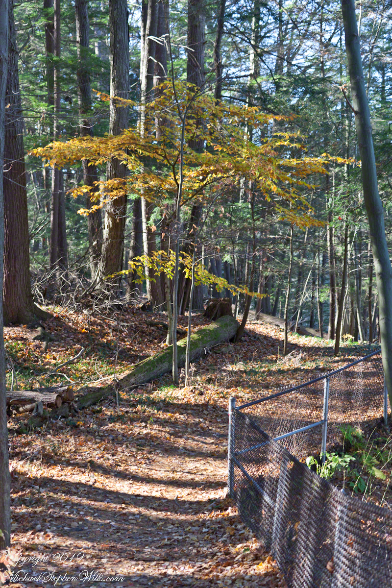
Among Hemlocks

A Rock Elm, late to turn in autumn, stands among a hemlock grove on the South Rim Trail of Taughannock Falls Park, Finger Lakes Region of New York State.

Click photograph for a larger view. To do this from WordPress Reader, you need to first click the title of this post to open a new page.

Finger Lakes National Forest 9

compare portrait vs. landscape orientation.

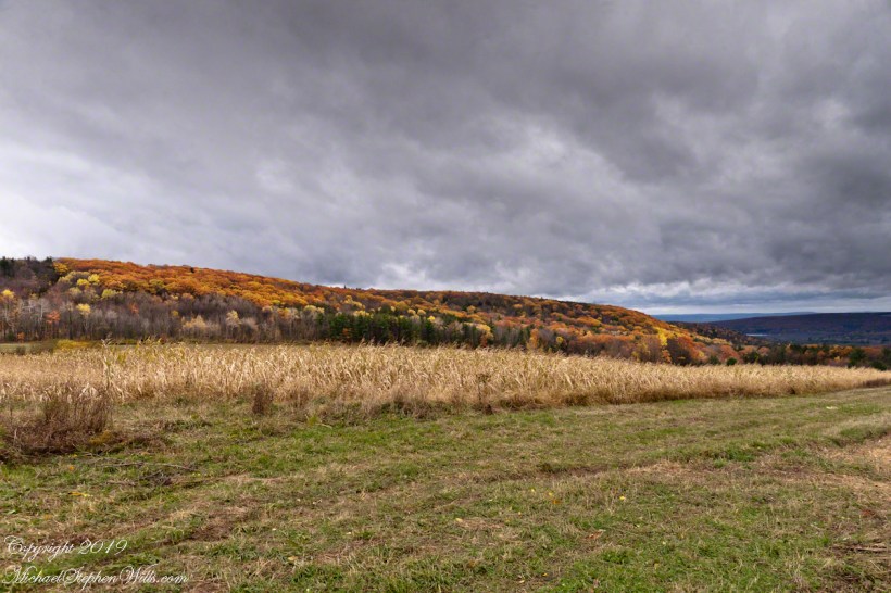
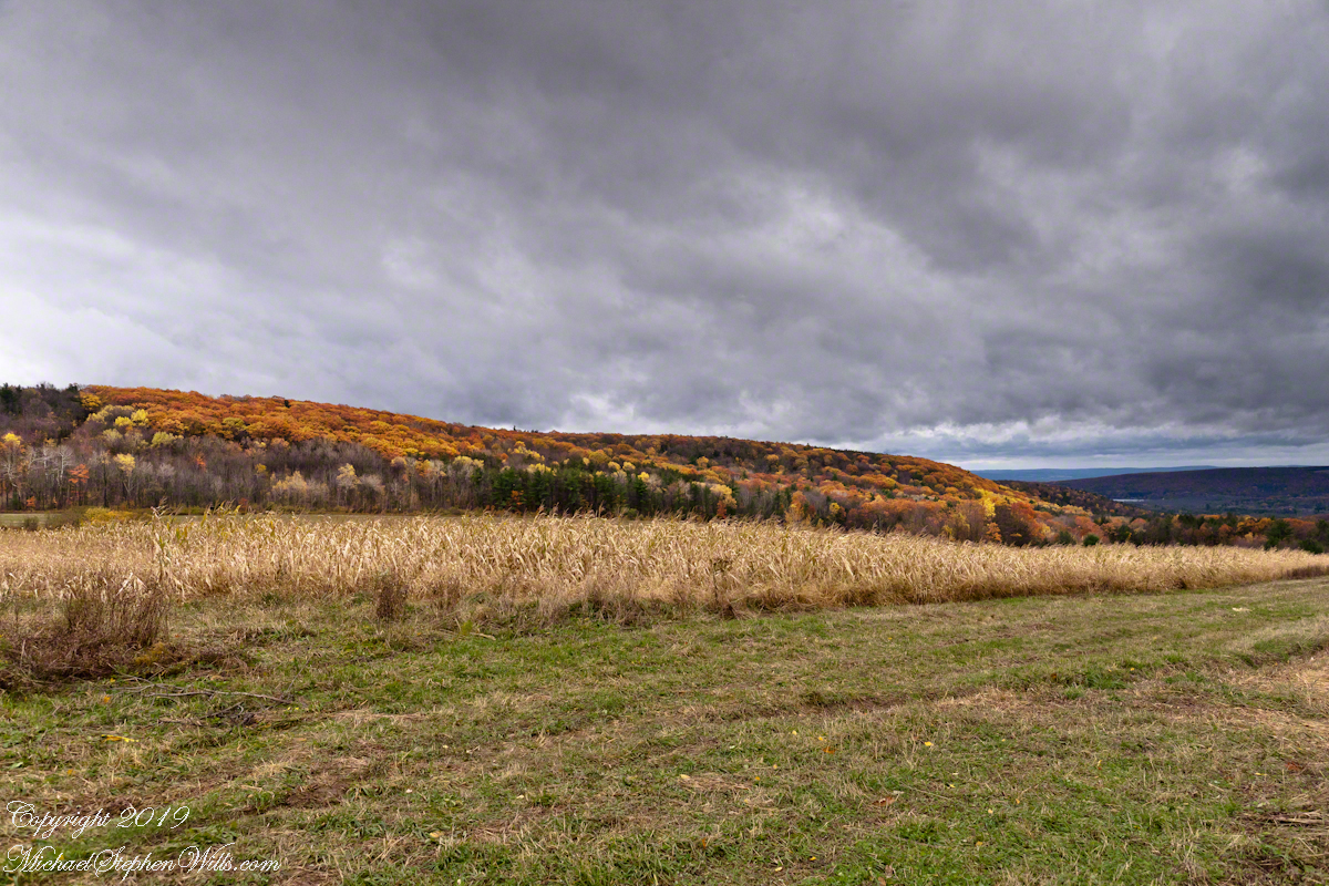
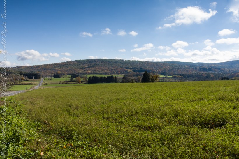
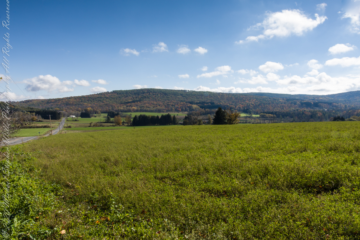
On our roundabout return from Finger Lakes National Forest we turned off Rt 79 at Mecklenburg onto county route 6 that becomes McIntyre Road in this stretch between two right angle curves. We turned off at the western curve with this fine autumn overlook toward Buck Hill.

Click photograph for a larger view. To do this from WordPress Reader, you need to first click the title of this post to open a new page.

Click me for the first post of this series.
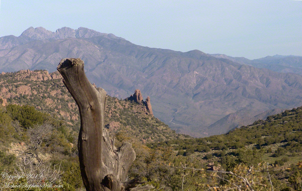
Finger Lakes National Forest 8

Best Morning View

Mornings are best for the west side of Finger Lakes National Forest ridge facing west over Seneca Lake. Set deep between hills, lake water is not visible, the distant land is the west side of the lake.

An abandoned church converted to Community Center is the distant steeple, marking the hamlet of Logan. I played a bit with the vista, moving forward and across, forgoing temptation to bring the autumn foliage front and center as this was private pasture, was 50 feet in as it was.
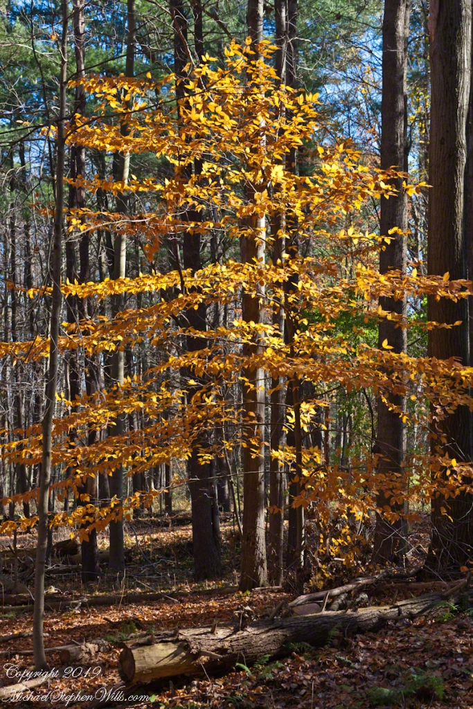
Click photograph for a larger view. To do this from WordPress Reader, you need to first click the title of this post to open a new page.
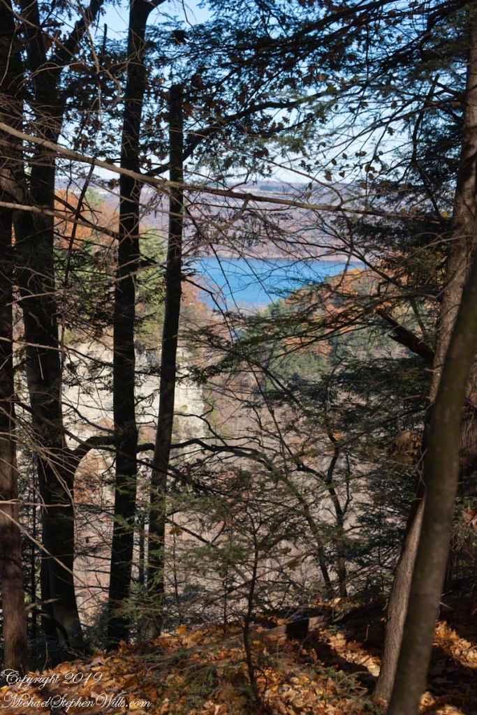
Click me for the first post of this series.