Mercury 7 Pre-Launch Facilities

Hosting Astronaut ZZZZZZZ’s and much more

Here is the sixth in a series of photographs centered on the early history of space flight on Cape Canaveral mostly taken during a tour organized by the Cape Canaveral Lighthouse Foundation. “Google” the foundation for details of future tours. Here we explore pre-launch support for the Mercury program, including the first USA Orbital Launch of John Glenn from Launch Complexe 14 (LC 14).

Overview

Leaving LC 1 – 4 (see Post WWII Launch Complexes”), our bus turned onto Central Control Road passing construction on Launch Complex 36 (LC36). In 2015 Blue Origin (Amazon money) leased LC36 where it planned to launch the “New Glenn” vehicle after 2020. I snapped the churned-up sand and construction equipment, not interesting at all IMHO.

Click Any Image for a larger viewe
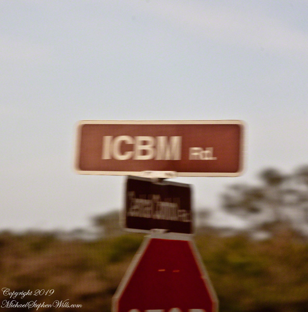
Corner of Central Control and ICBM Roads. Cape Canaveral Air Force Station.

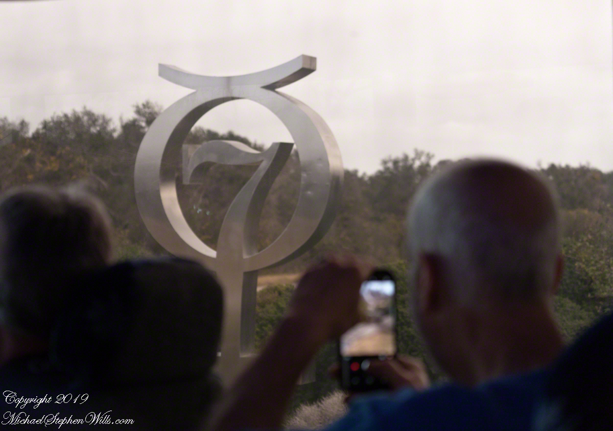
The “New Glenn” was named in homage to John Glenn, the first American to orbit the earth in 1962. We turned right onto to ICBM Road, headed generally north, following a string of launch complexes along the Altantic shore toward Launch Complex 14 (LC14). A dissapointment was not stopping to walk the Mercury 7 Memorial at the corner of ICBM Road and LC14. Our bus stopped briefly enough for the following snap. It is a memorial because John Glenn, the surviving member of Mercury 7, passed away December 8, 2016 at the age of 95.

Mercury 7 Memorial, just off ICBM Road

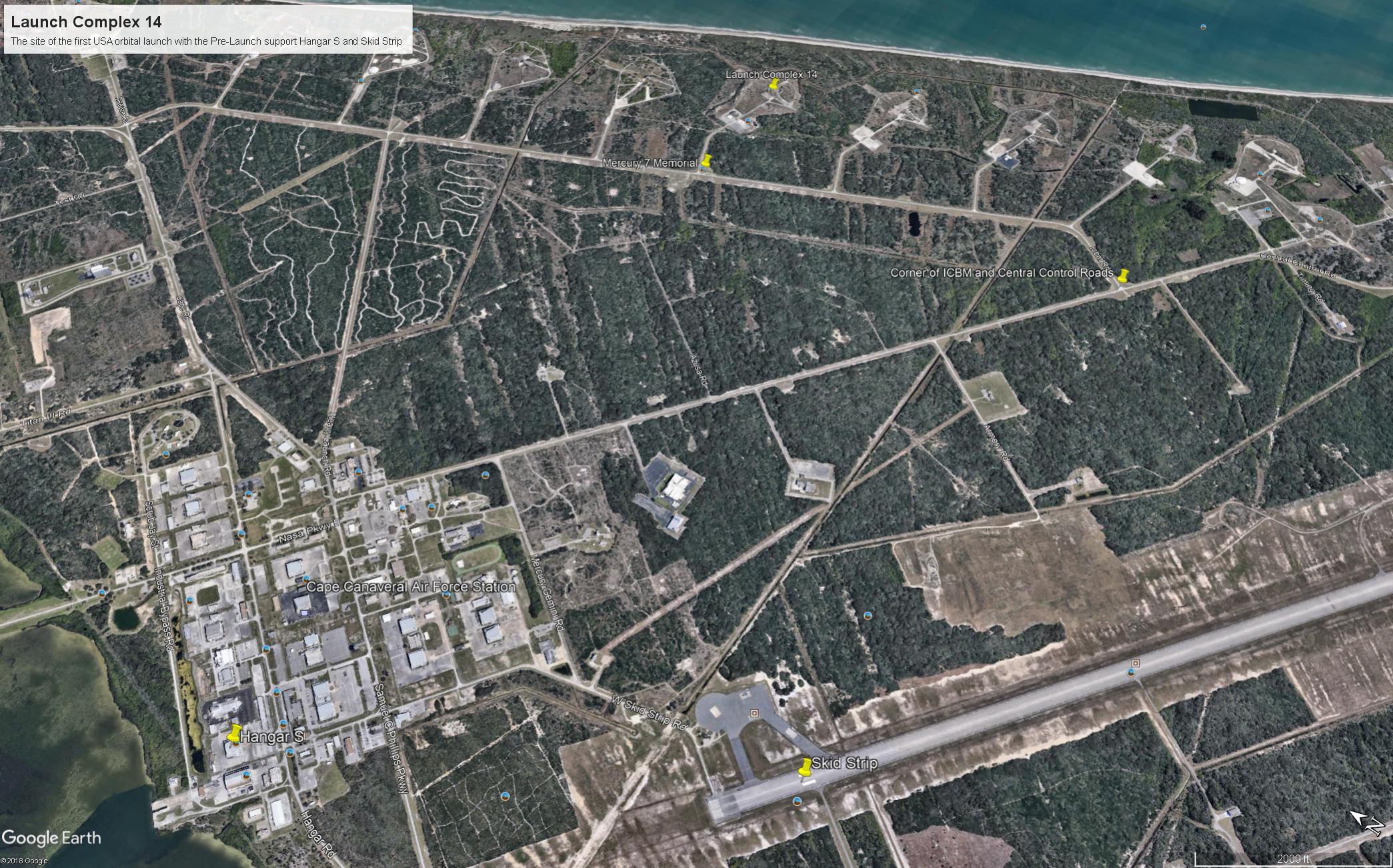
I will cover at length the Mercury-Atlas vehicle that powered John Glenn into orbit February 20, 1962. The tie-in between ICBM road and this series of launch complexes is the early space missions were on re-purposed Intercontinental Ballistic Missles (thus, ICBM). “Atlas” is the name of the ICBM used for Colonel Glenn’s 1962 flight. Click on the following image to find labled pushpins for the corner of Central Control and ICBM Roads (upper right), the road to LC14 and Mercury 7 Memorial.

You will also find a pushpin for the Skid Strip, bottom just to right of center. The earliest cruise missle tests (see “Cruise Missles” and Post WWII Launch Complexes” ) included navigation to a landing on non-wheeled “skids.” The strip was maintained in support of the manned and later missions when cargo planes delivered the early space capsules, landing, not skidding hopefully, for transfer to a Pre-Launch facility, Hangar S.

Cape Canaveral Launch Complex 14 and Pre-Launch Support: Hangar S and the Skid Strip

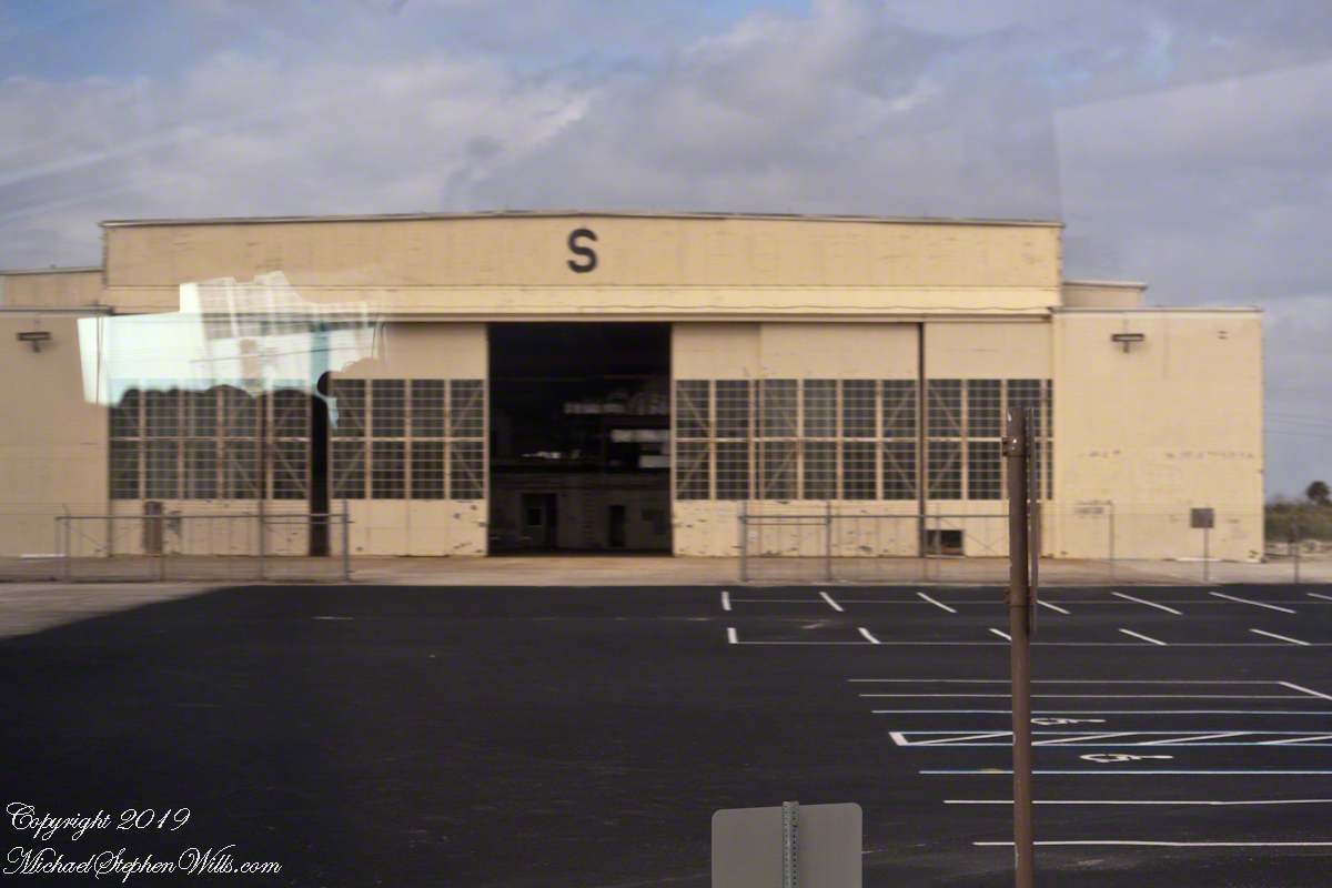
Hangar S is seen below as we passed later in the tour. Built 1957 by the military the 61,300 square feet were acquired by NASA in 1959. The early space capsules were tested here in an vacume chamber to ensure the vehicle supported an breathable atmosphere for the occupants.

The first American space voyager was Ham, a chimpanzee. Ham lived in a residential area on the second floor of Hangar S. For a period of time the Mercury 7 shared the spartan second floor quarters. “The Right Stuff” (a 1984 film from a Tom Wolfe book) included scenes from this episode of the program.

Constructed in 1957, Hangar S served for pre-flight processing from Mercury through the final flight of the Space Shuttle. This is where the Mercury 7 astronauts were first quartered on the second floor and later, is where they stayed prior to flight. The Lunar Orbiter was prepared here.

Comfortable Quarters

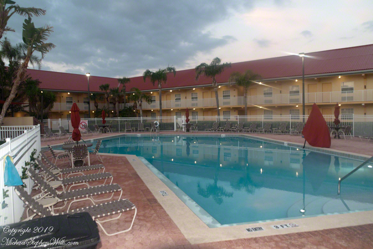
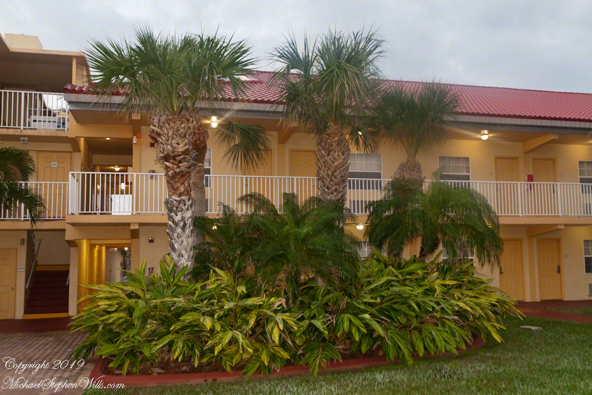
In short order arrangements were made for more comfortable quarters, just off the ocean in Cocoa Beach. It was a new hotel given over entirely to the Mercury 7. Pam and I stayed there in 2018 while taking this tour, it is the La Quinta across from the International Palms. We recommend it a clean, comfortable, reasonably price and a great story to share afterwards. The Atlantic Ocean is a five minute walk.

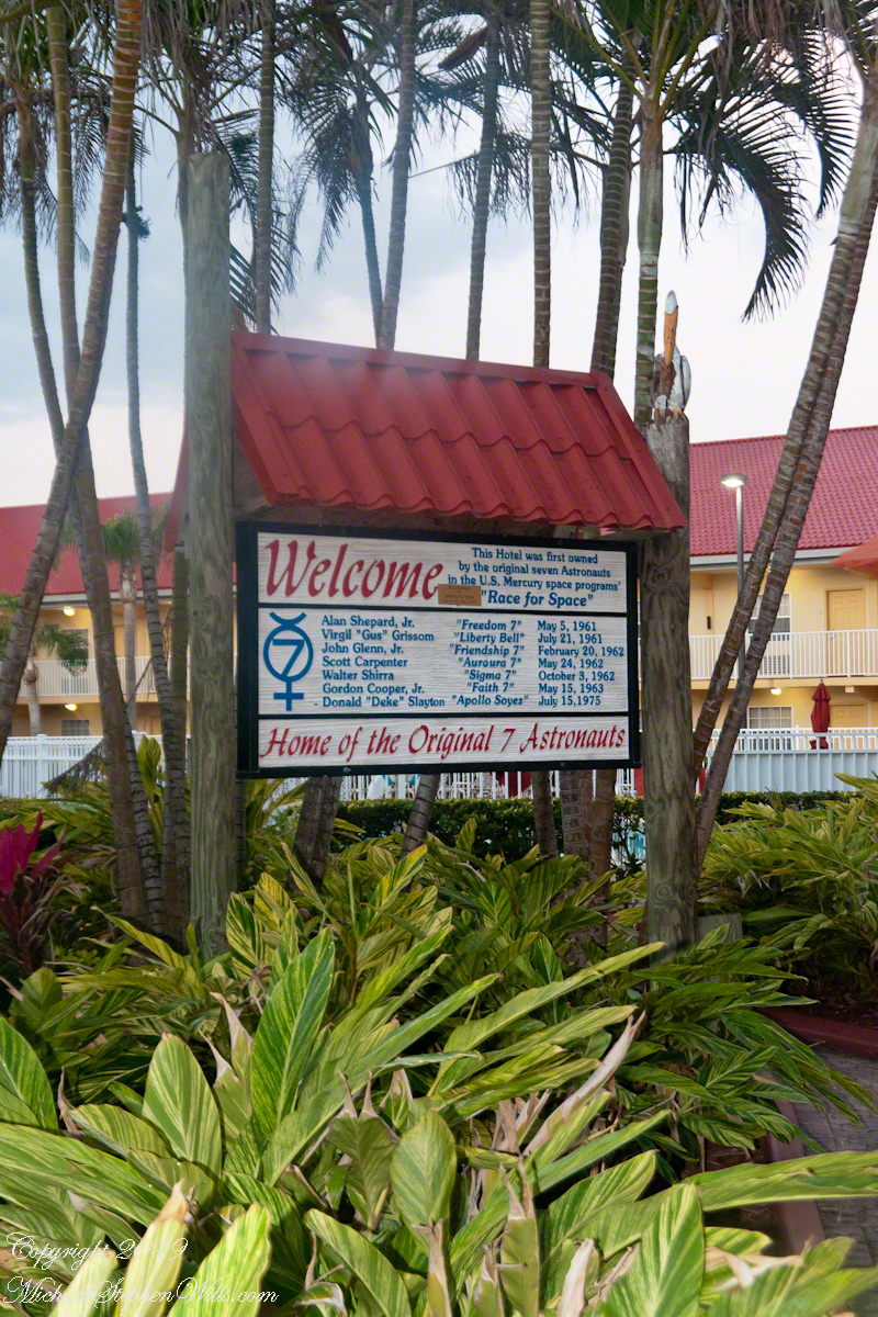
La Quinta Inn was the home of the Mercury 7 Astronauts, 1275 N Atlantic Avenue Cocoa Beach, Florida 32931

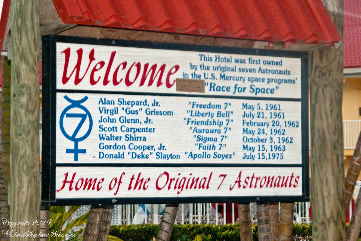
I learned from the tour how the hotel was donated to the Mercury 7 by a private individual. They owned the hotel. Here is a very informative sign just off the La Quinta lobby with their names. Each first mission, as named by the astronaut, is listed.

La Quinta Inn was the home of the Mercury 7 Astronauts, 1275 N Atlantic Avenue Cocoa Beach, Florida 32931
View of the hotel built for and first owned by the Marcury 7 astronauts. They lived here in the early days of the USA space program.

Blastoff!!

Next post will feature images of LC14 from 2018.

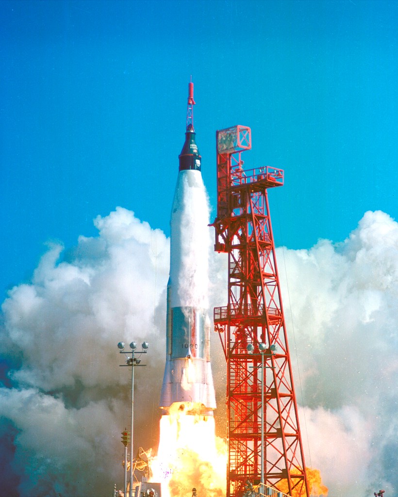
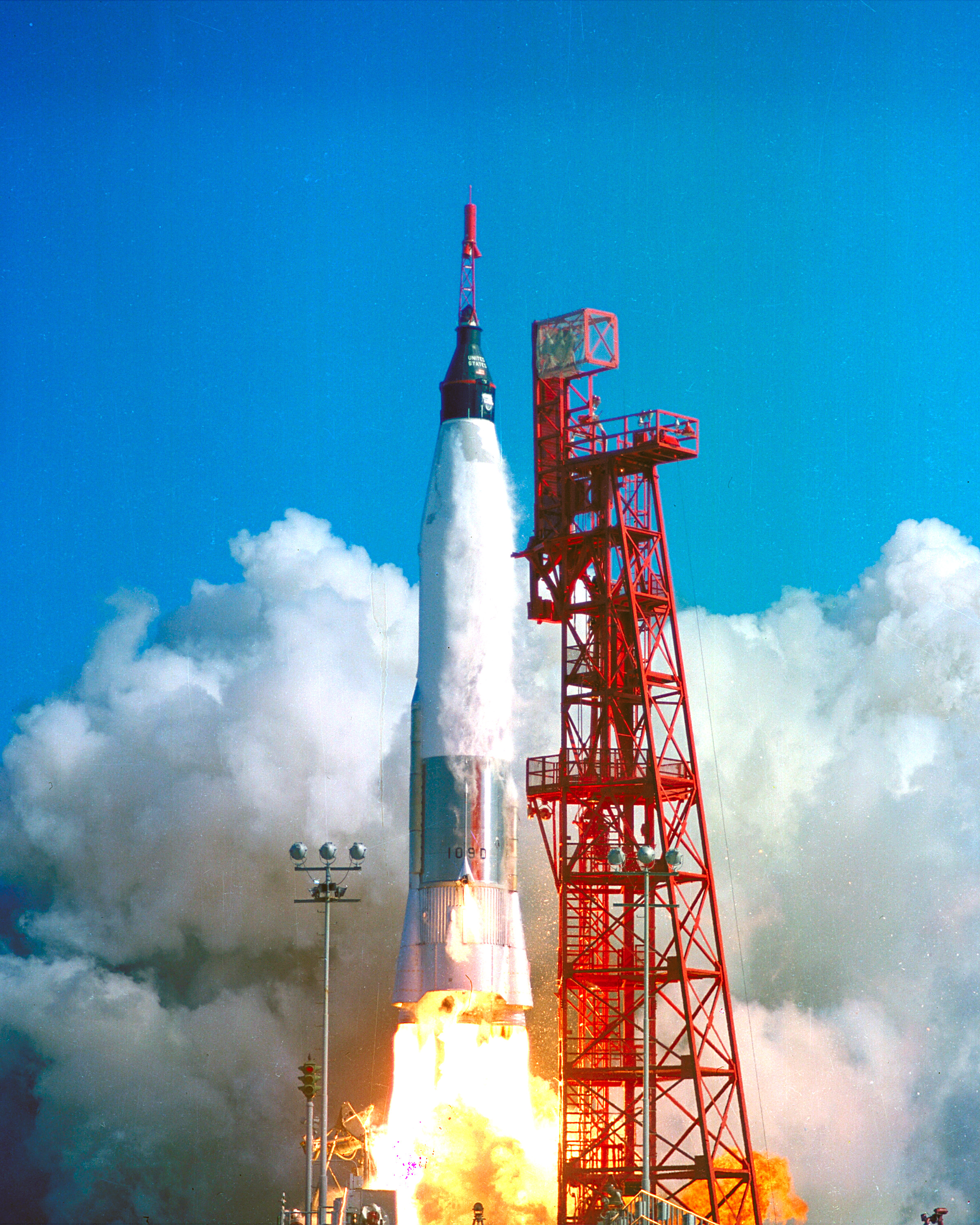
Launch of Friendship 7, the first American manned orbital space flight. Astronaut John Glenn aboard, the Mercury-Atlas rocket is launched from Pad 14. Public Domain Photograph by NASA.

ClickMe for the next post in this series, “Launch Complex 14 Today.”

ClickMe for the first post in this series, “Cape Canaveral Lighthouse.”

Sources of information for this post: I used information from the Wikipedia site for the key words John Glenn, Launch Complex 14, Mercury-Atlas, Launch Complex 36. Plus a “google” on “Hangar S History” that found an excellent page hosted on the NASA site. Cover photo of Friendship 7 Launch my be found on Flickr in “NASA on the Commons” photostream.

Copyright 2022 Michael Stephen Wills All Rights Reserved.

Feeding Frenzy

Nine videos taken the same morning, February 5, 2022

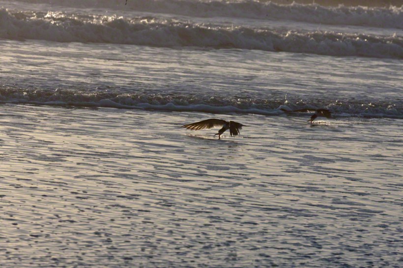
A multi-day hatch of small fry around the time of a new moon triggered this Black Skimmers (scientific name: Rynchops niger) feeding behavior surf off Cocoa Beach, Brevard County on Florida’s Atlantic Coast.

Copyright 2022 Michael Stephen Wills All Rights Reserved

Here and There

Around Cocoa Beach

Sights and Sounds

Black Skimmers

Scan of Lori Wilson Park beach

Hunter

Copyright 2022 Michael Stephen Wills All Rights Reserved

Whale Sighting

Right Whales in February

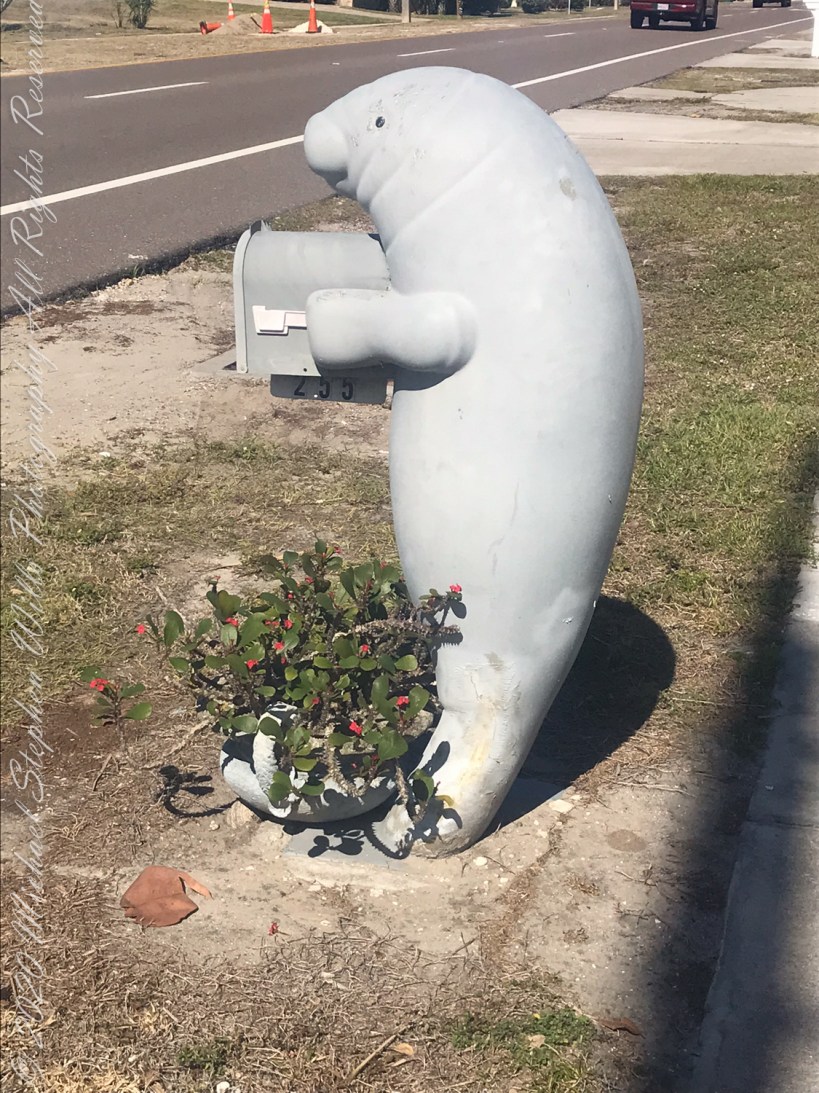
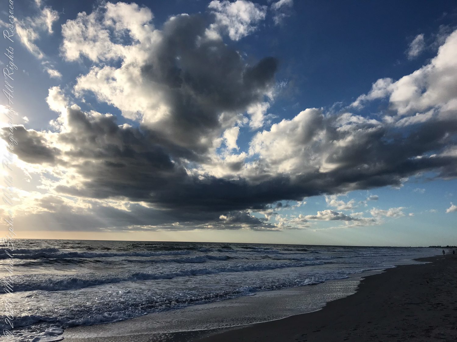
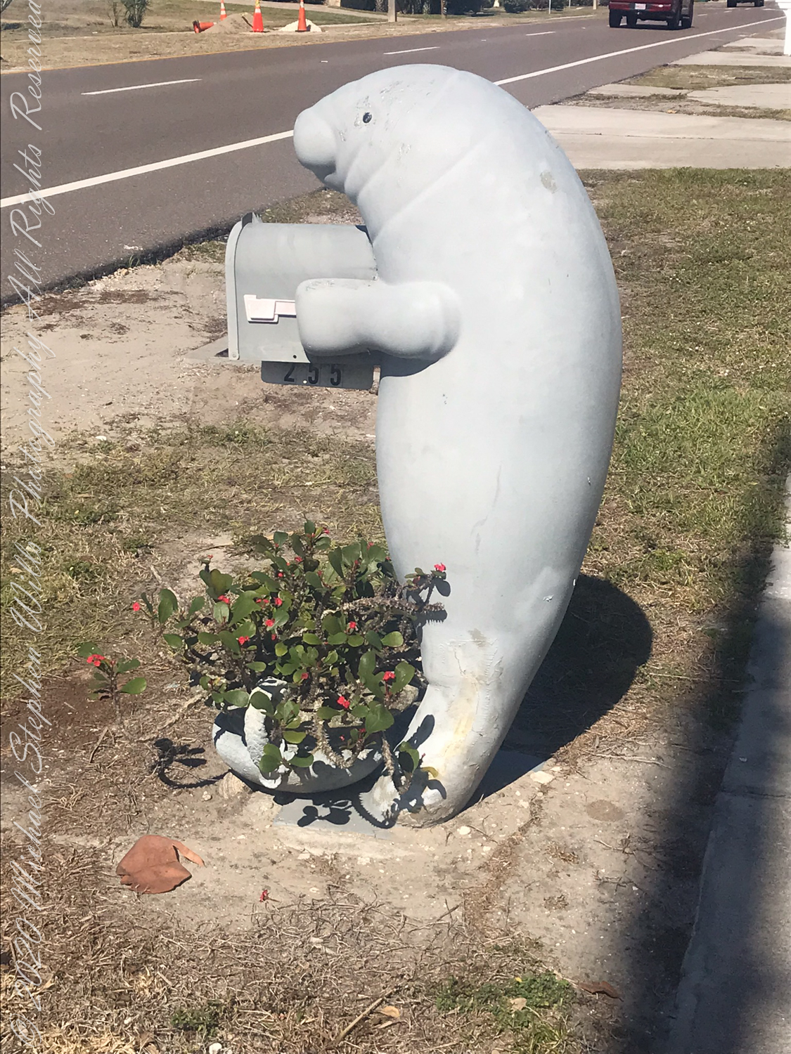
No, the Manatee mailbox on Atlantic Avenue is NOT the whale sighted….more of that later. February 3rd 2022 dawned with scattered clouds to fracture sunbeams.

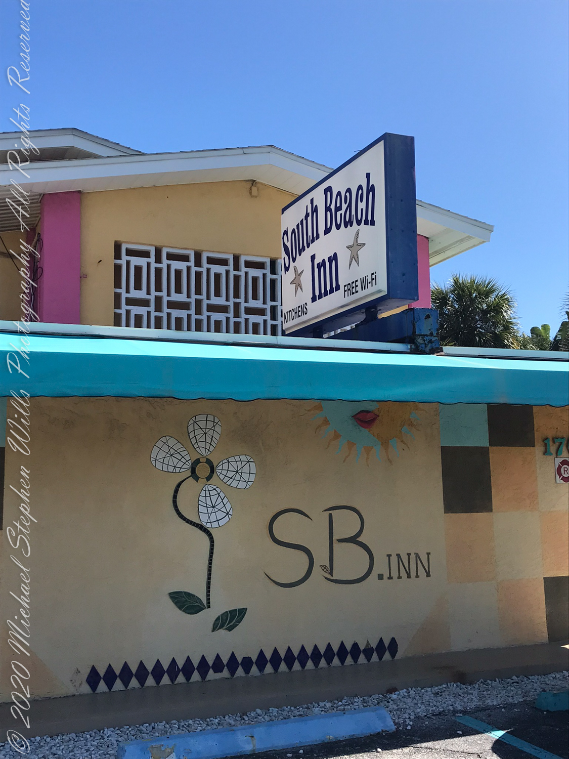
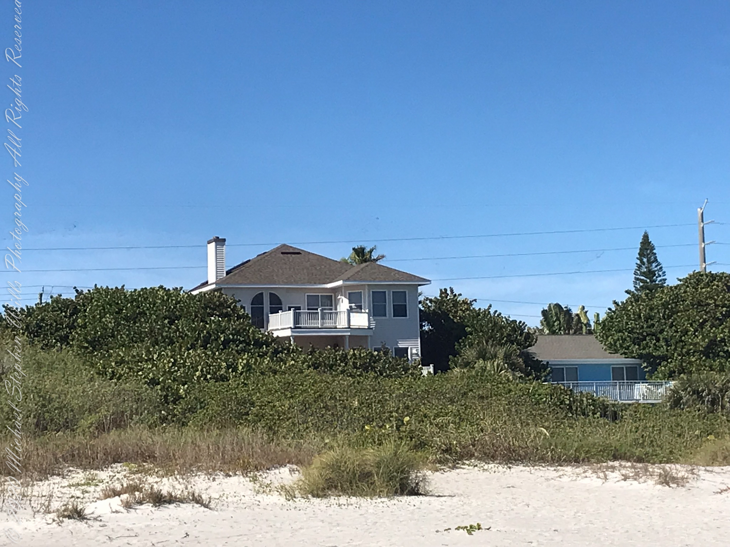
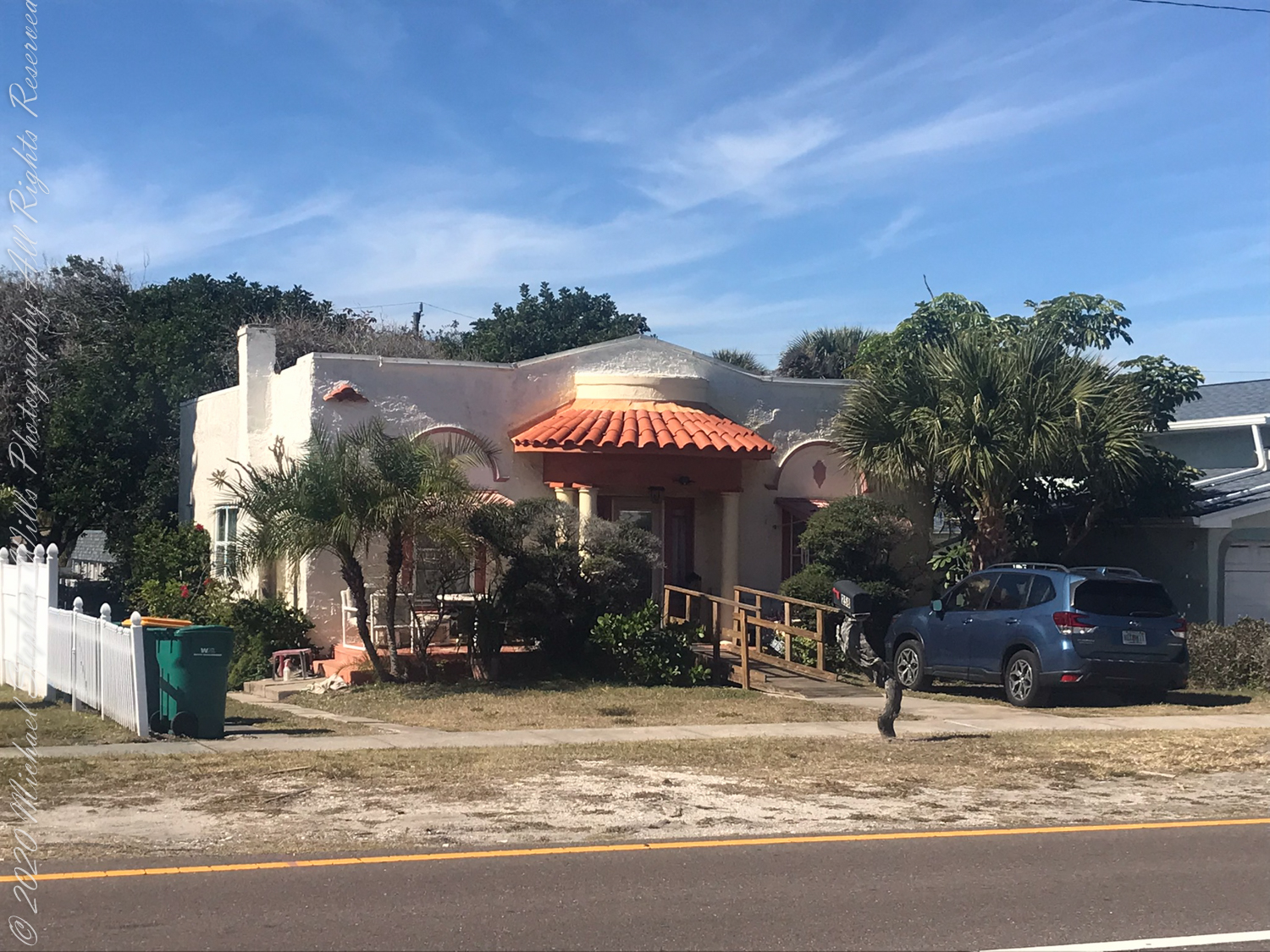
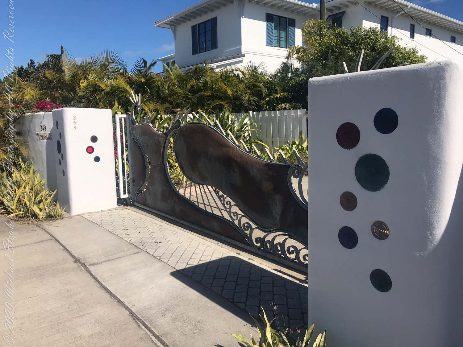
Walking south I made the 2+ mile point where, up from the beach on South Atlantic Avenue, is a memorable facade.

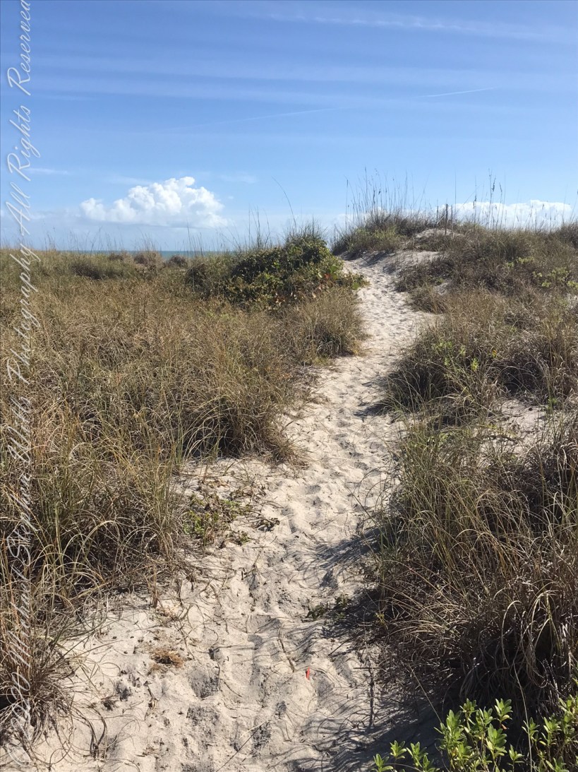
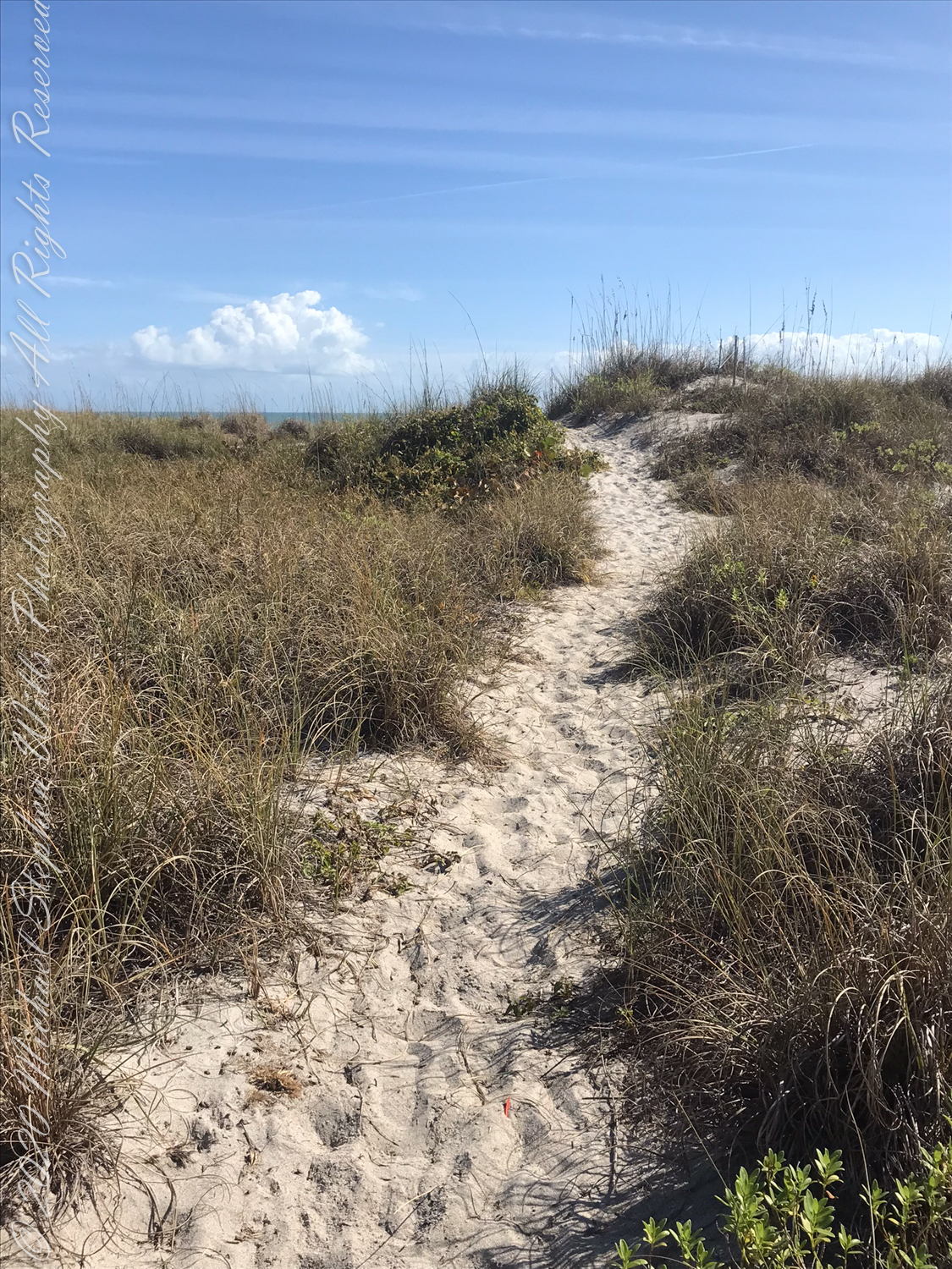
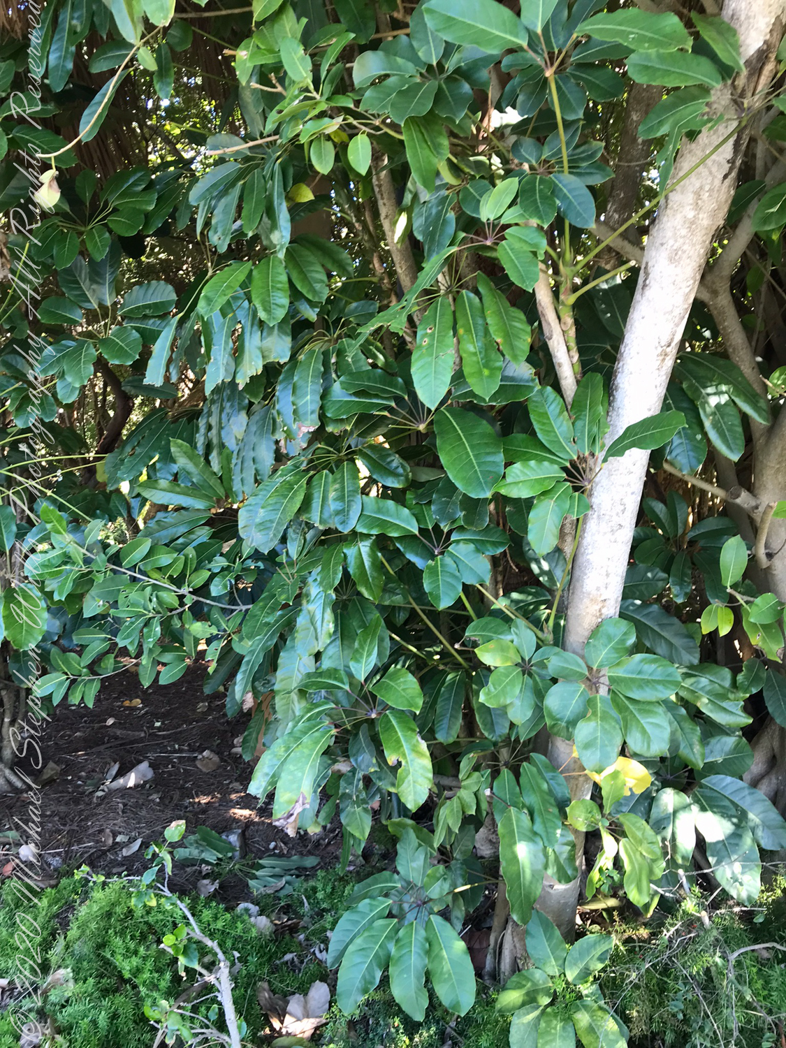
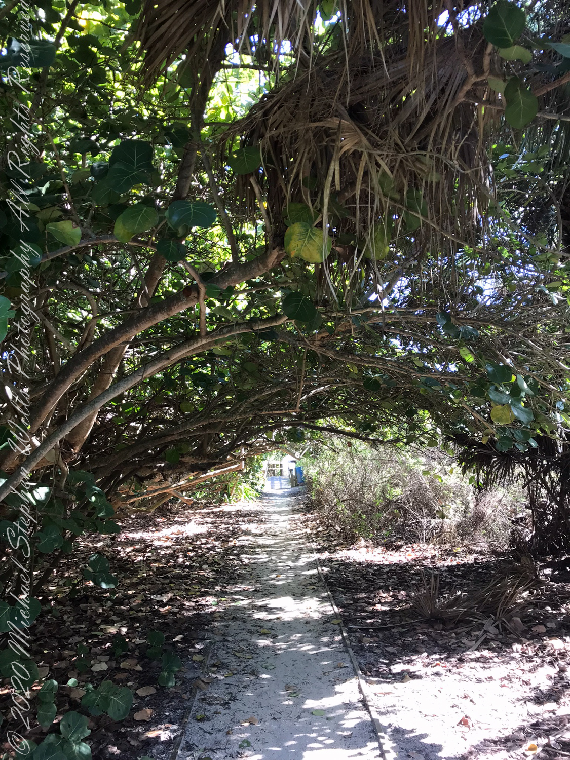
Also exotic schefflera, paths to the beach through Sea Grapes.

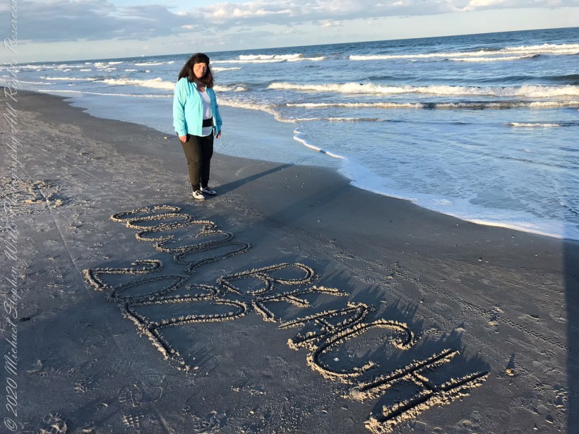
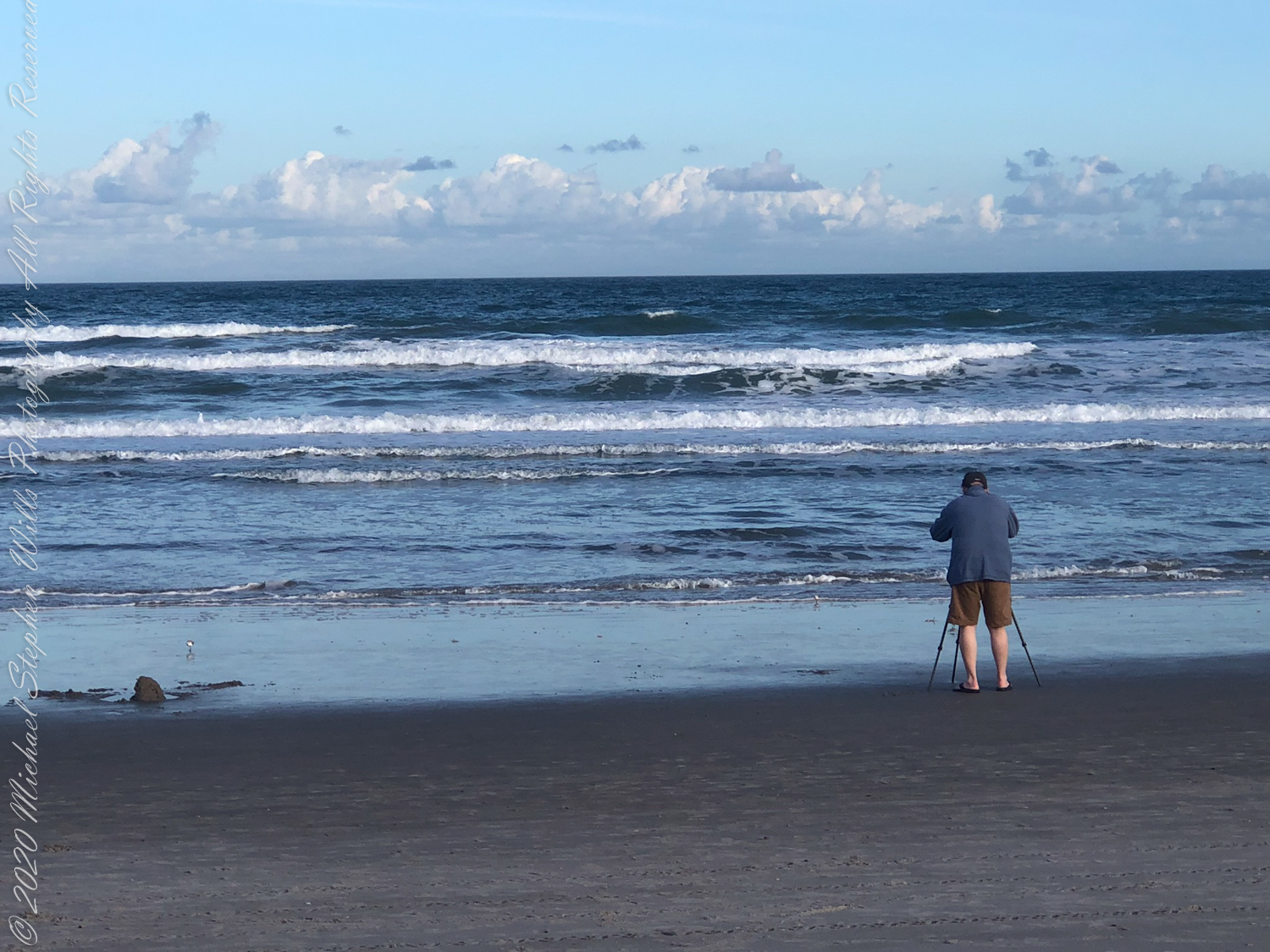
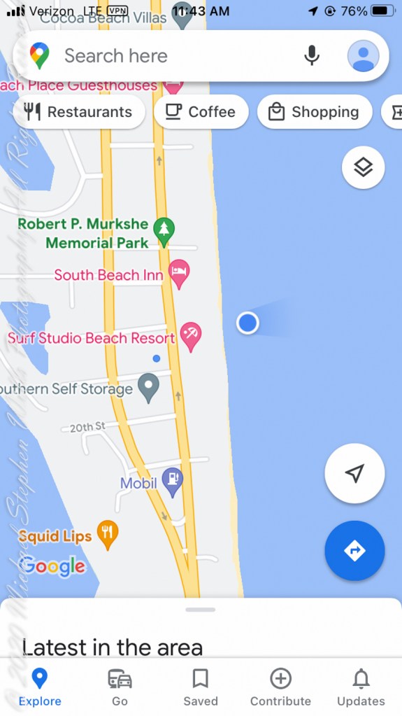
February is the time for Right Whale sightings on the Florida Atlantic Coast. On the beach, near the blue dot on the following map, were lines of people facing the ocean, some with binoculars and cameras with long lenses.

About 500 feet out, beyond where the wave roll begins, a person sat on a paddle board looking to my right. In the following IPhone videos an occasional black hump, roiling water, a flipper and the signature spout are visible. It is too far for identification, I call it a Right Whale from their reputation for visiting these shores in late January/February.

An hour later, I left the beach at South 4th Street to capture the following local color.

Copyright 2022 Michael Stephen Wills All Rights Reserved

Oceans’ Eons

Tranquil Morning Surf with Peaceful Music for Tranquility, Relaxation, Meditation.

For full peace and tranquility view on a large screen “smart” television.

Eight minutes of ocean waves and gentle music in 4K UHD.

Anatomy of Dawn

Subcategories of Twilight and more

Use your pinky finger to apprehend the sky dome. Imagine yourself at sea, out of sight of land, on a calm day. Keeping your arm extended, place your pinky-tip on the horizon due east, raise your arm directly overhead. The average sized pinky-tip will have spanned 90 of its lengths. The distance measured from the horizon to directly overhead, the zenith, is 90 degrees of sky dome, about one pinky-width per degree, one-fourth of the entire 360 degrees of sky around your spot on the globe.

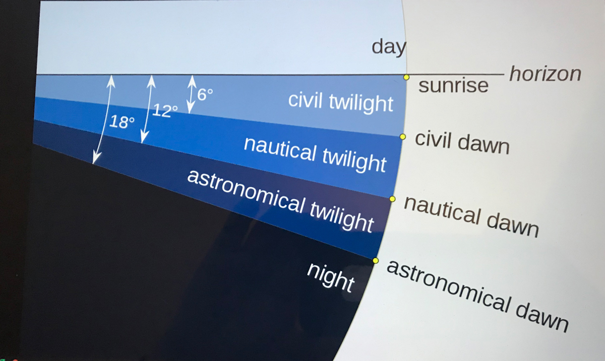
The apparent width of the sun disk from earth covers 1/2 degree of sky dome. The disk center point moves 15 degrees per hour (360/24 = 15). Using these facts to estimate time to sunset is relatively straightforward. Estimating time to dawn from the sky is more difficult. This graphic, “Twilight-dawn subcategories,” is a way to grasping what happens. Your position on the earth globe affects the experience. For example, at northern latitudes above 60°34′ summer nights never become darker than civil twilight because the sun’s midpoint never drops lower than 6 degrees below the horizon. Civil twilight lasts all night long summer times in parts of Sweden and Finland.

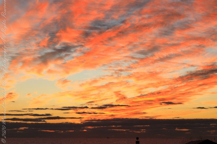
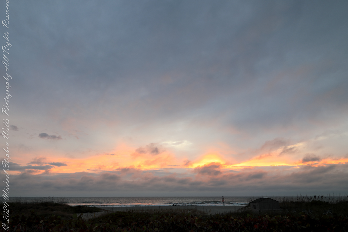
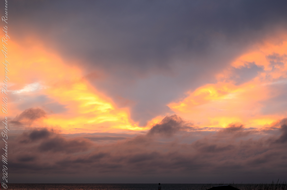
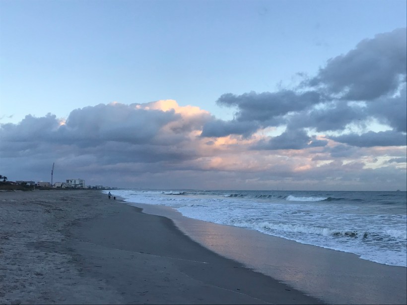
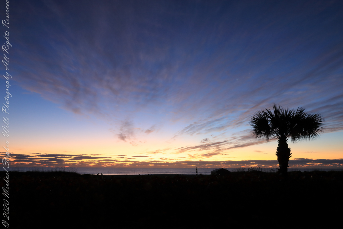
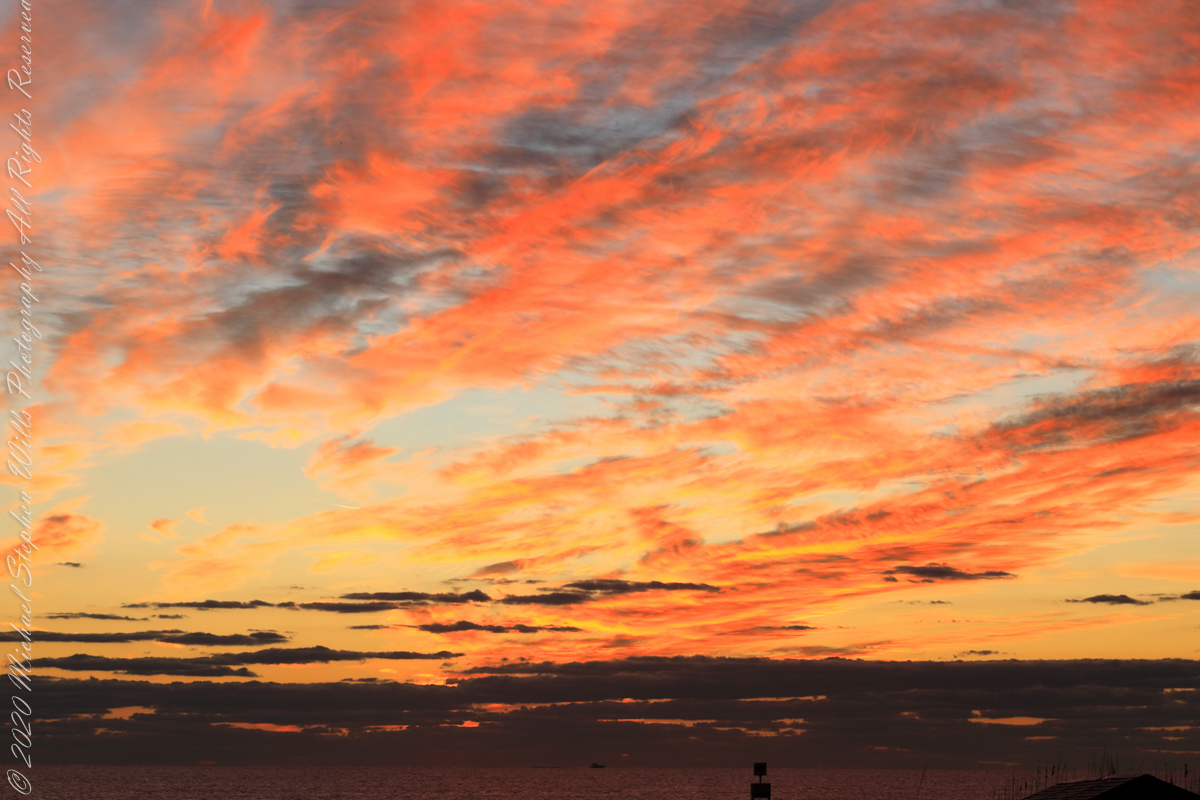
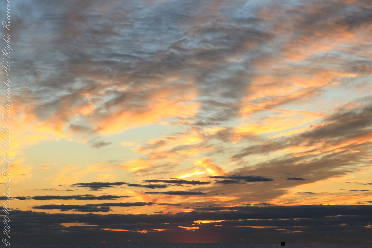
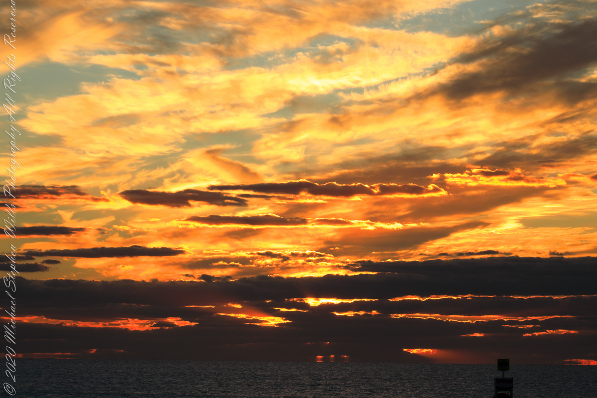
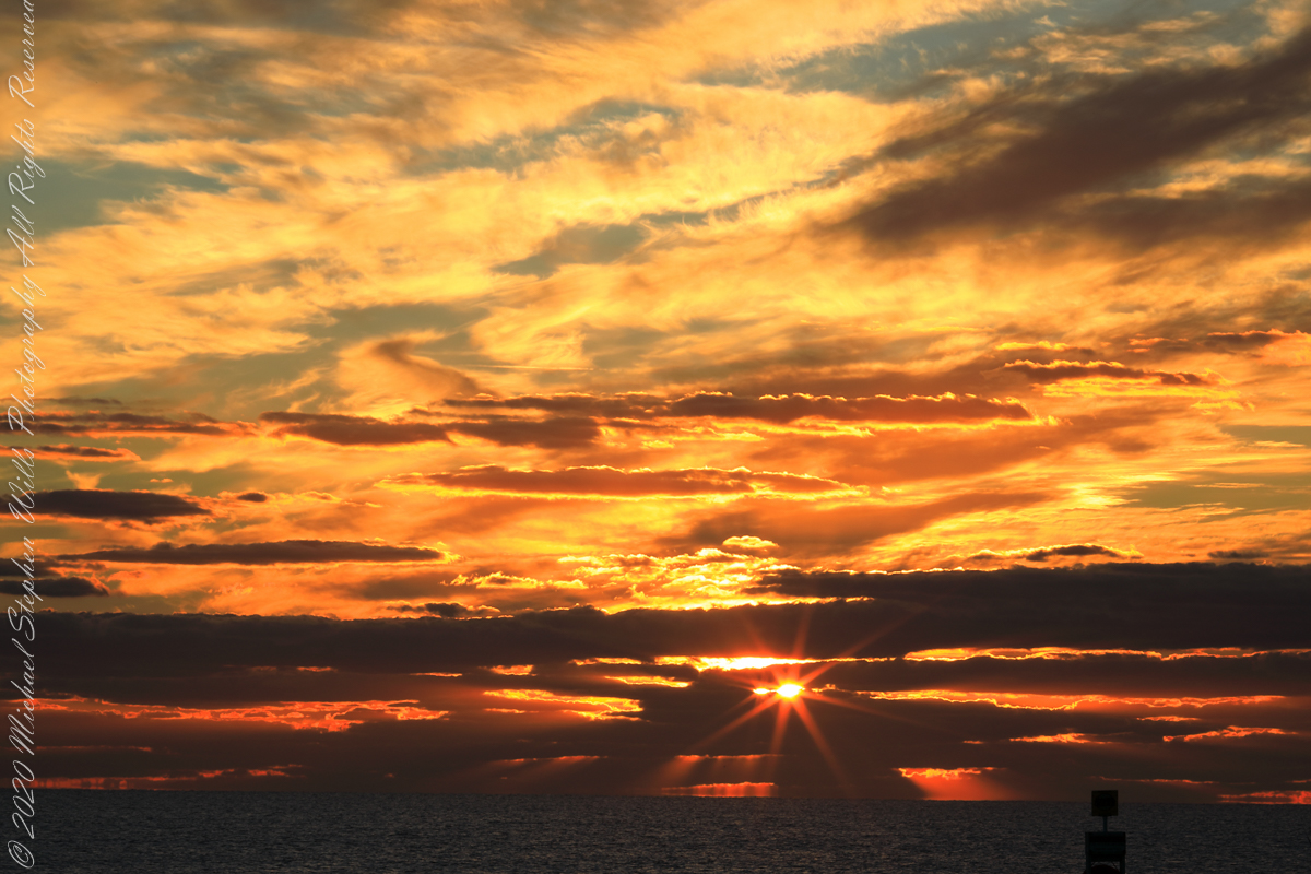
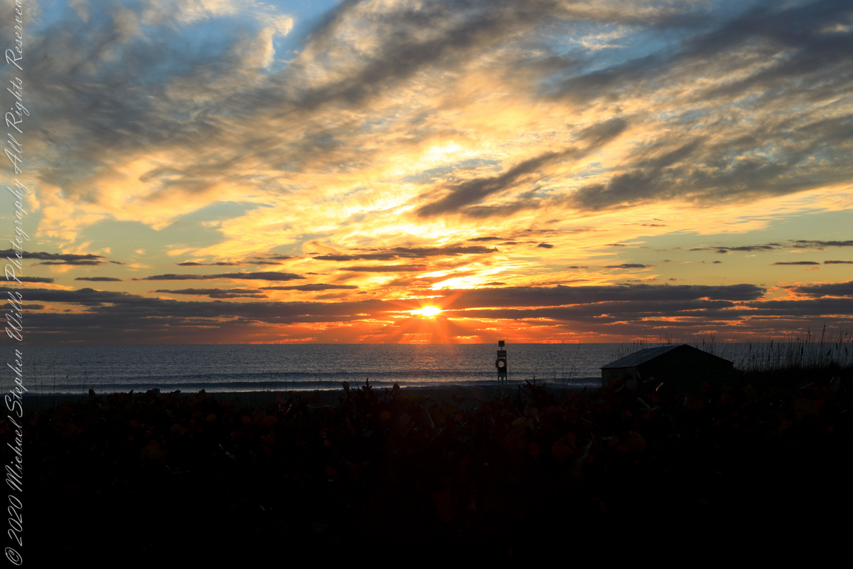
The date-time stamp on the first photograph of this series is 6:46:23 am, Cocoa Beach sunrise for February 1st was 7:09:40, 00:23:17, 23.283 minutes in decimal notation, later. This duration divided by 60 minutes in an hour and multiplied by the sun’s apparent velocity across the sky (15 degrees per hour) and minus the .25 degree between sun’s center and disk edge, gives the sun’s center as 5.57 degrees below the horizon: this is a photograph of the sky a minute or so after the sun passed civil dawn into civil twilight. I am not more exact because this calculation does not account the deviation of the sun path from due east at this latitude, lengthening civil twilight duration by almost a minute.

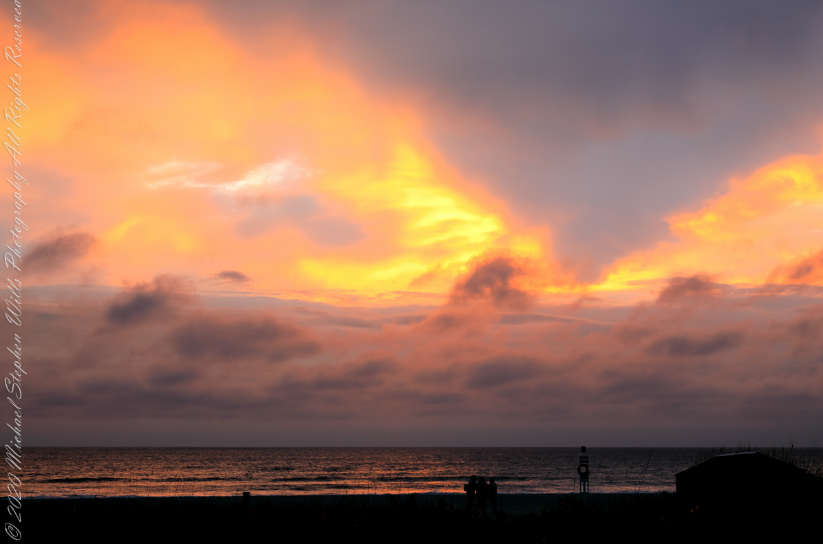
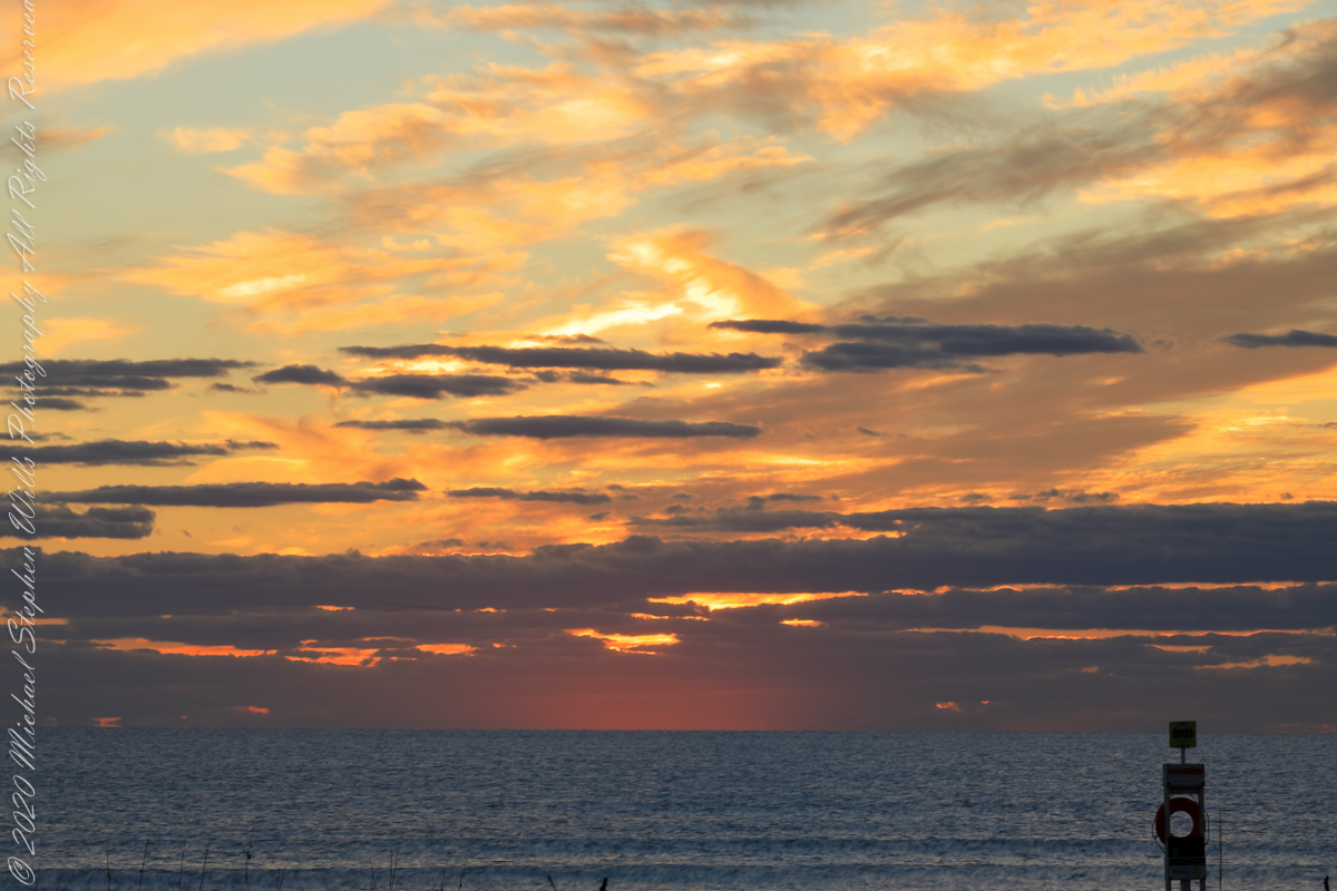
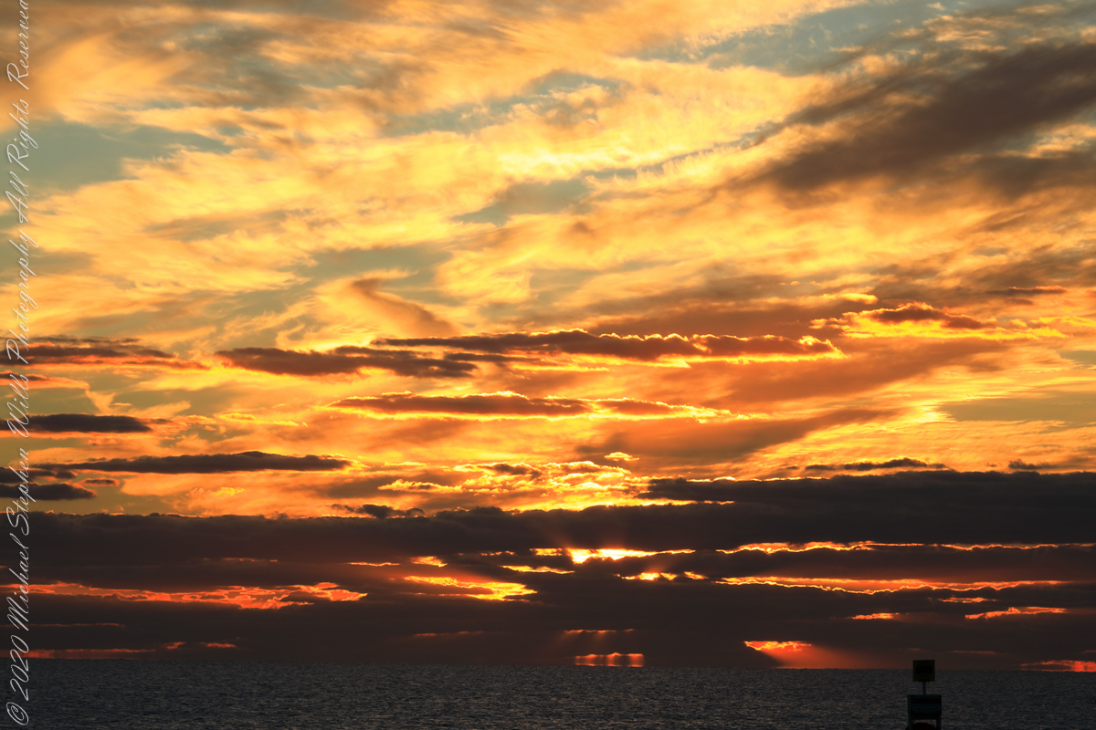
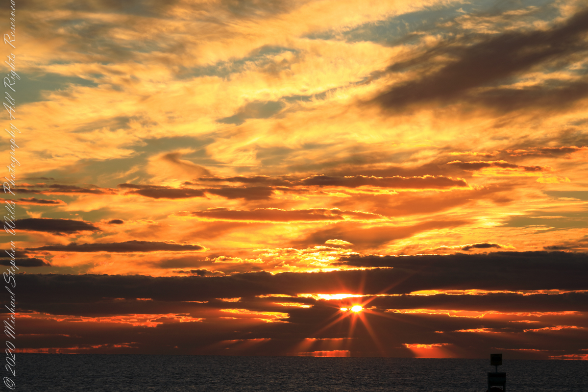
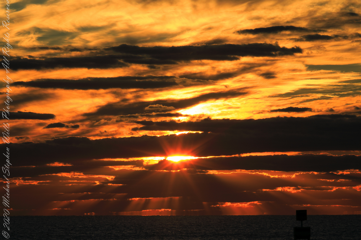
The following photograph is time-stamped 7:05:06, 4.567 minutes until sunrise, sun center is just below the horizon, setting the dark clouds of the previous photograph fleetingly on fire.

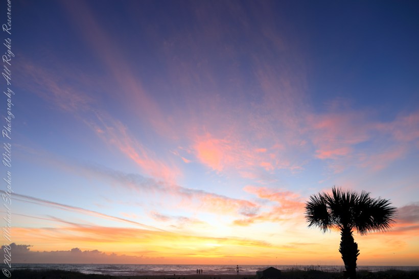
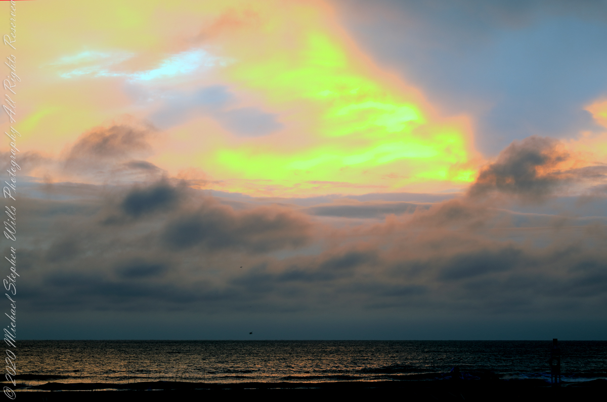
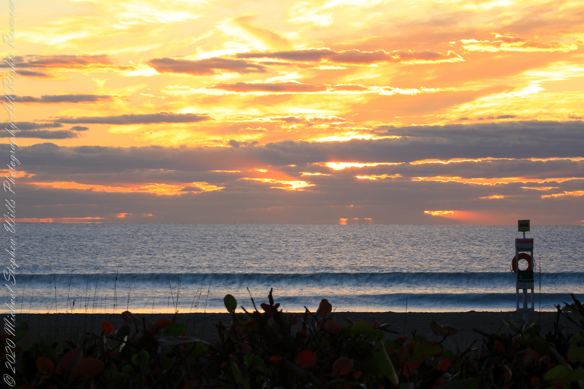
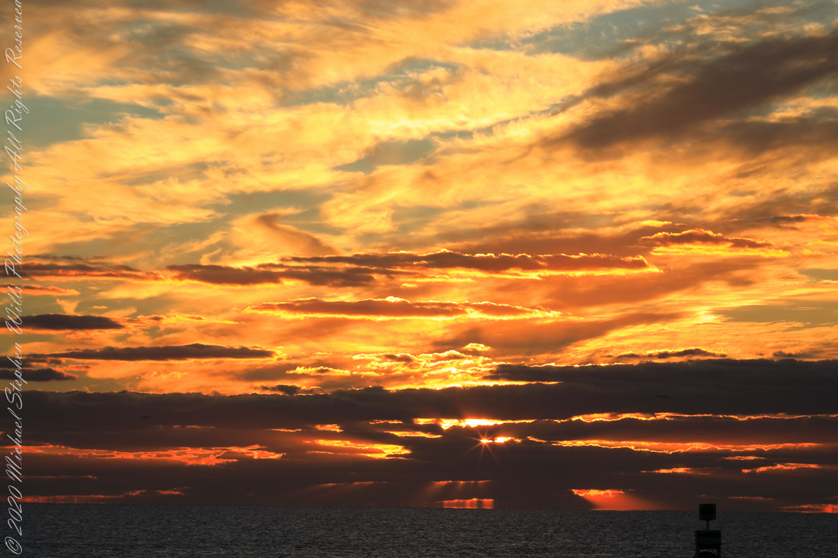
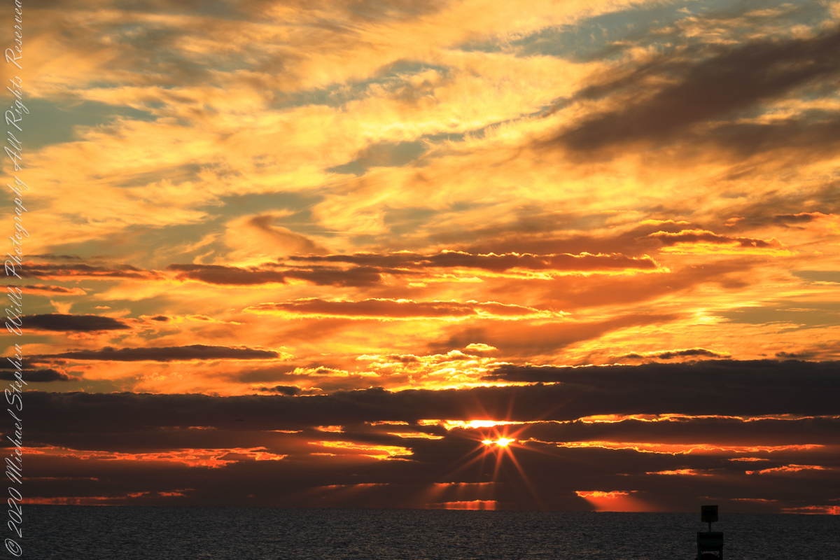
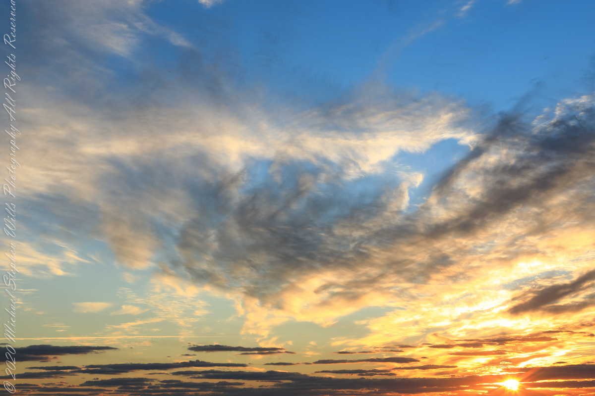
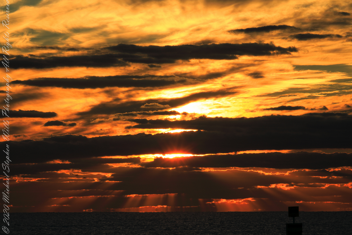
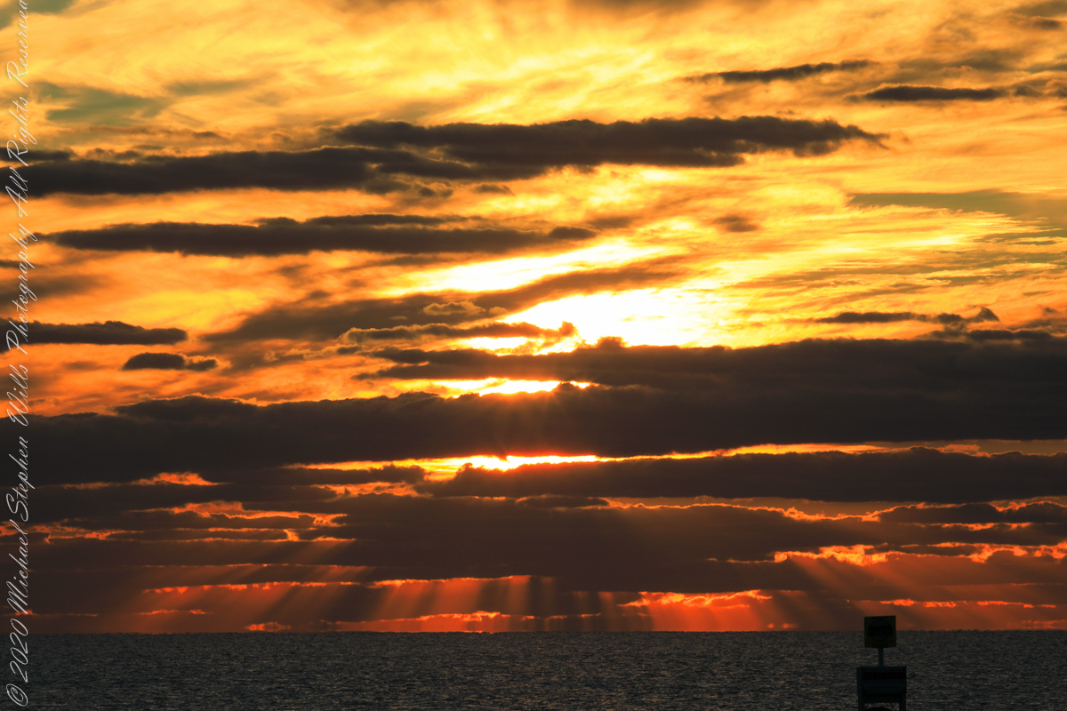
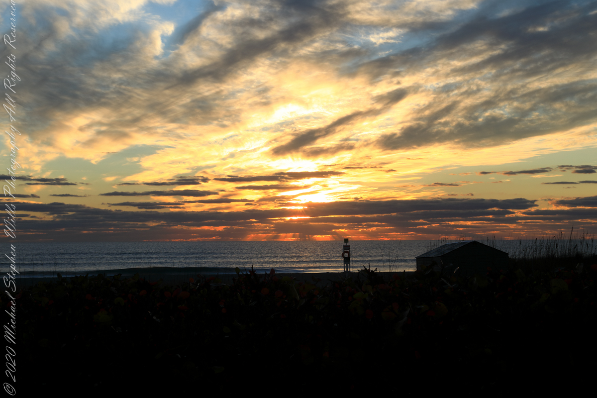
Sunrise has passed in the following photographs, obscured by clouds and making for a great light show. Enjoy!!

References

“Dawn” Wikipedia page, the graphic “Twilight-dawn subcategories,” and the descriptions of subcategories came from this page.

Venus at dawn

Planet Thoughts

Since 1500 B.C. until today…..

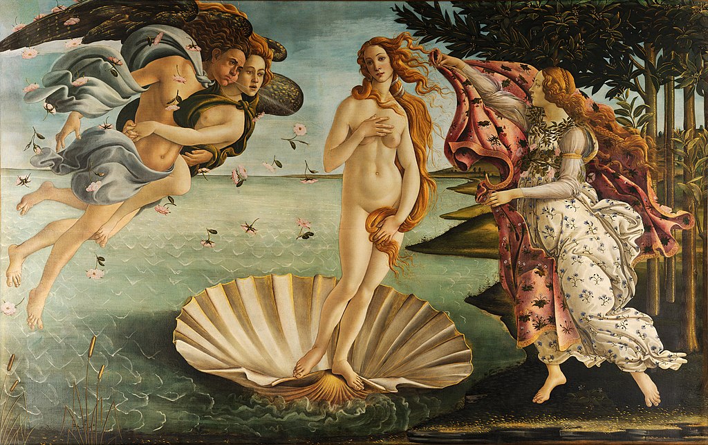
The planet we call Venus has ancient associations with fertility goddesses. The link has persisted at least from the 1600 century B.C. inscribed on Sumerian cuneiform tablets. Three thousand years later the Italian artist Botticelli created in tempura paint on canvas the image of Venus rising from the sea, as the planet Venus does today.

Venus Rising

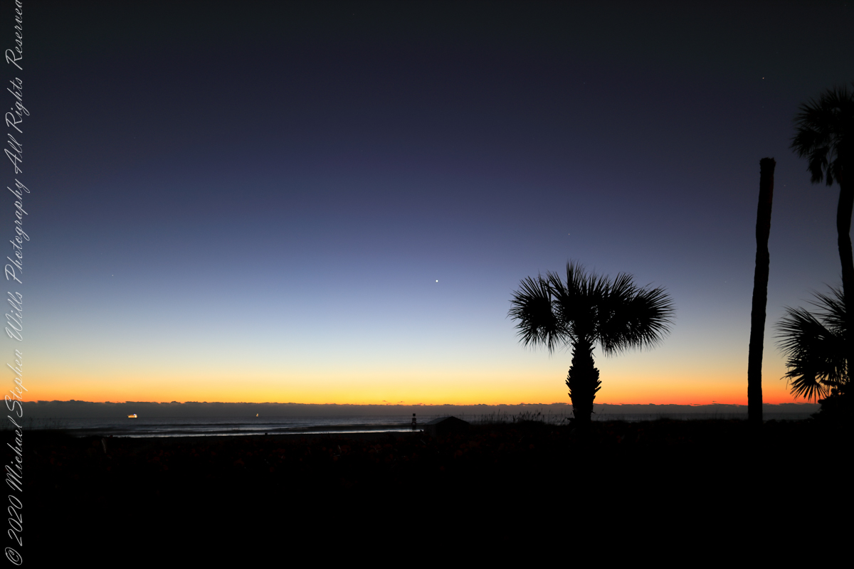
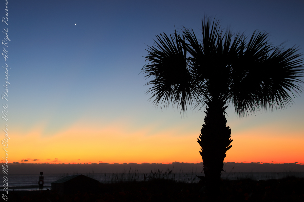
Here is Venus rising from the sea at dawn January 2022, at its brightest and most beautiful. Some mistake this new light in the east for airplane lights; the bright disk of Venus is 25 times brighter than Sirius, enough to cast shadows at night. As Venus proceeds in its orbit, the planet alternately sets after the sun and rises before it, seemingly appearing new each time.

This February I caught a newly risen Venus in this IPhone 7 video, reflected in the waves. It seemed to be a flashing headlight on the beach, the Venus reflection came and went with the passing waves. Venus is the upper, the reflection is beneath. Use the lower right control for the full view.

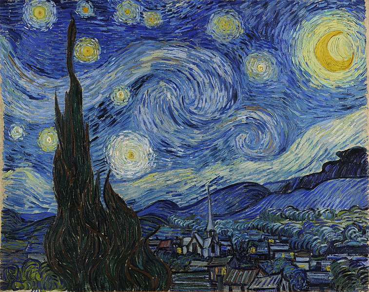
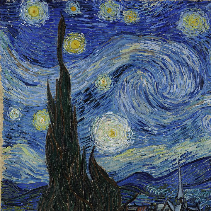
Looking from his window June 1889, Vincent VanGogh included Venus in his “Starry Night” painting, seen to the right of the Cypress tree.

Here is a closer view of Venus last January, the planet disk is apparent, unlike even the closest stars, Venus is seen as a whole object. Click on image for a full view.

Venus and Mars

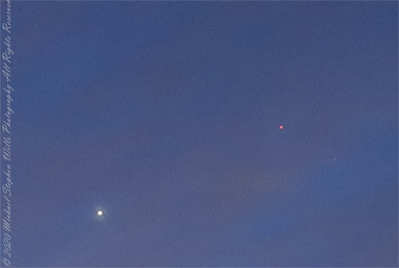
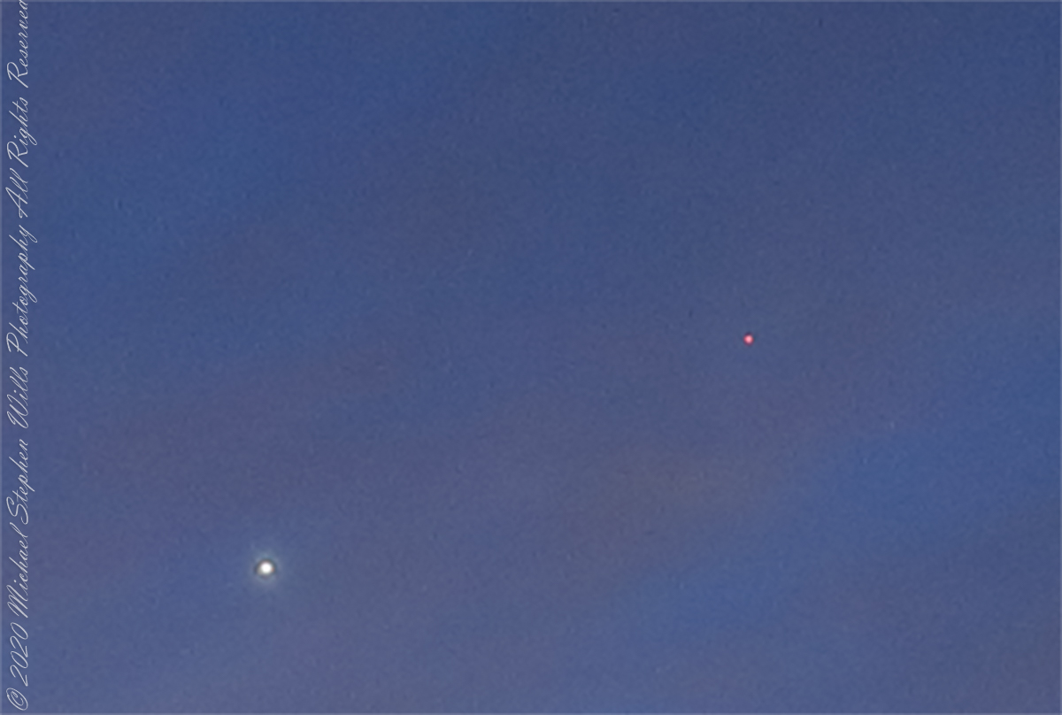
Venus and Mars shared 2022’s pre-dawn winter sky. Click on the first image for a full-size view. Mars is seen above the palm tree stump, on the right. In this photograph, from early February, Venus and Mar apparently moved closer. The closeness is an illusion, the planets are millions of miles apart, on either side of Earth’s orbit. Click on the photograph for a full-size view, Mars can just be made out to the right and above Venus.

This crop clearly shows the brightness of Venus compared to Mars.

Maritime Pilots, Scout Island, Scout Canal

About maritime pilots and the Chilean Fjords

Want More? Visit my Online Gallery

On our way to Fjord Tempanos and the Iceberg Glacier…..

Background: on a ship, facing the bow (front), starboard is right and port is left).

In the 8 miles from Tarn Bay and Sombrero Island lands press closer, higher, islands increase in number.  This is a listing of some of the islands we passed. These names reflect the history of Chile, the waves of immigrants touch the land with memories. After some of the names, below, I provide in parentheses the derivation.

On starboard was the northern Wellington Archipelago (English General): Pinochet (the Chilean dictator), Penguin, Juan Stuven (Spanish and German), Chang (the far east), Millar (German).

On port, the names have a military flavor: Zealous, Scout, Scylla (Sea Monster of Greek mythology), Alert, Orlebar (British Officer Augustus Orlebar).

These port side island names reflect what is on the minds of mariners as navigational options narrow with the channel.  Innumerable channels, points, mid-channel islets, all looking very much the same, a potentially confusing jumble.  Chilean maritime law demands ships have on board, working from the bridge, a certified Chilean maritime pilot to transverse the country’s dangerous channels and fjords.  The combination of stopping distance (multiple nautical miles) and the loss of steering when a ship moves slowly make it essential to know, exactly, the route ahead.  It was a Chilean maritime pilot who help keep us safe.

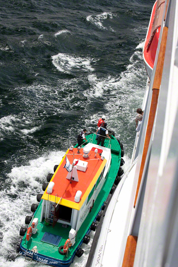
A great personal hazard for pilots is boarding the ship from the pilot boat.  From our stateroom terrace we observed fast pilot boats in all seas approach the Regatta miles from port, the pilot on the bow, pull up alongside.  Without a harness, the pilot transfers from boat to ship.  We observed this several times from our stateroom veranda.

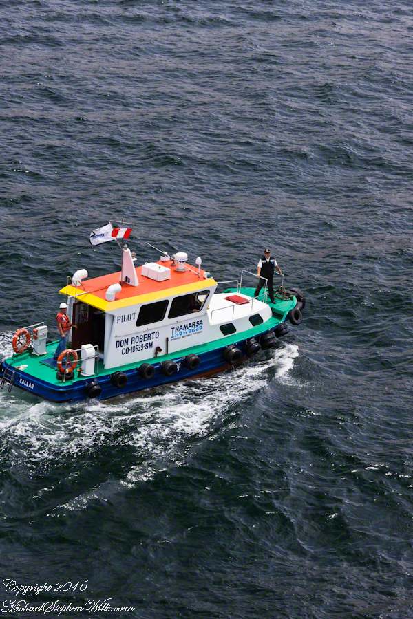
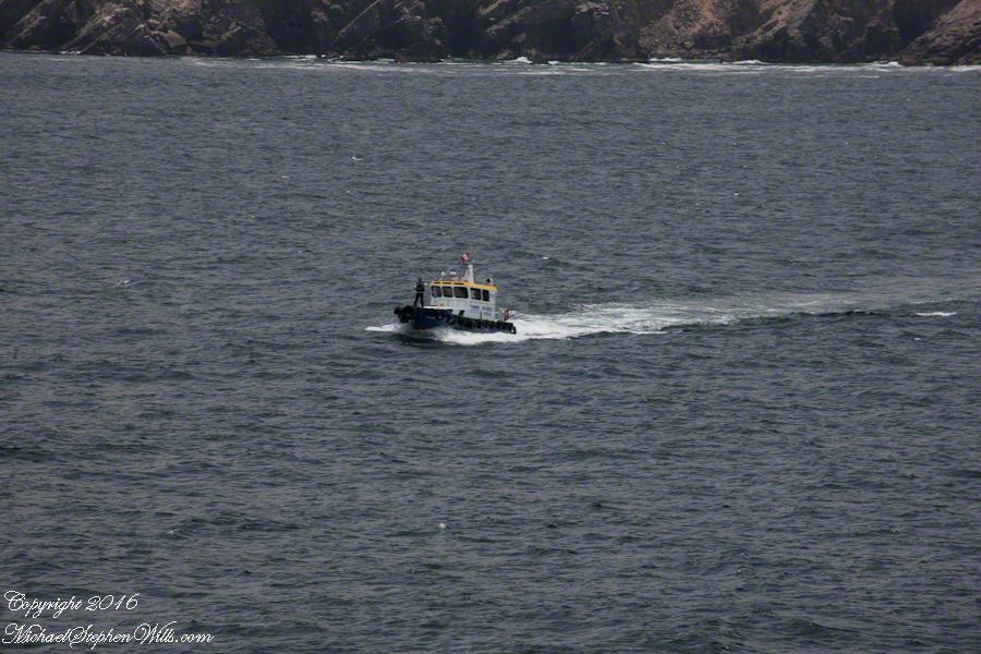
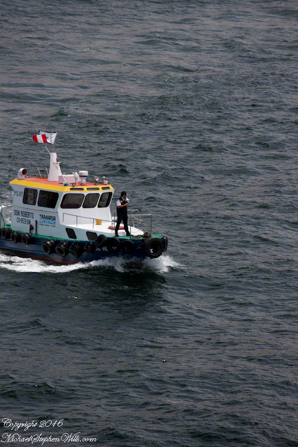
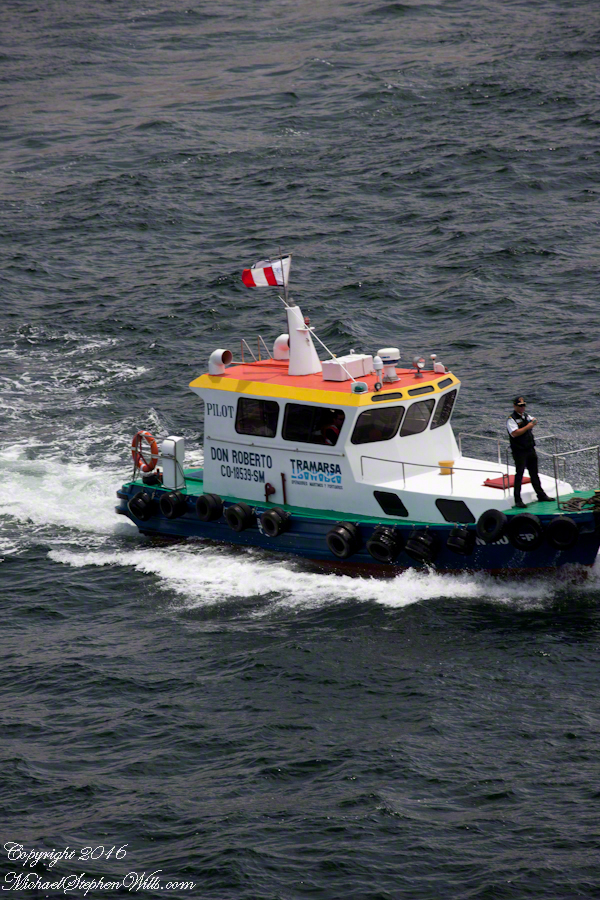
Here are shots of the pilot boat approaching the Regatta off the Peruvian port of Matarani. The boat was mirrored by the colorfully painted houses of Peru.

Don Roberto Approaches the Regatta
A fast pilot boat from Matarani approaches the Oceania Regatta. On the bow, the pilot will transfer from boat to ship. On board he will work with the Regatta crew to safely navigate the approach to the Matarani harbor and dock. The whiteness on the land is diatomaceous earth.
Don Roberto, Maritime pilot, approaches the Regatta
The whiteness on the land is diatomaceous earth.

A cautious approach. In the third shot the boat turns to slowly approach the Regatta.

Alongside, boat crewmembers joint Don Roberto on the bow to assist in the transfer. I am not sure which of the two blue uniformed persons was “our” pilot.

I did not capture the boarding of the pilot who served the Regatta through the Chilean Fjords.  Was is at Puerto Montt?  Puerto Chacobuco?  I am not sure.  I do know a maritime pilot was on board as the channel narrowed to 2 miles, named Scout Channel were we passed Scout Island.  I was facing generally east from our port side stateroom veranda while capturing these photographs as the Regatta headed south.

Scout Island and Canal
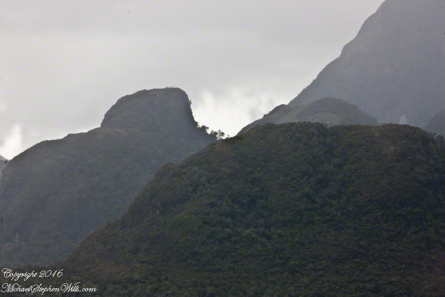
Scout Island. The water is Scout Channel

The peak on Scout Island is about 2,100 feet. The smaller peaks in front are about 1,200 and 1,500 feet. All rise straight up from Scout channel.

Scout Island
Scout Island lies on the Scout Canal
Scylla Island
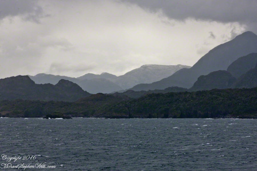
Lying just south of Scout Island, Scylla Island is between our ship, in the Scout Canal, and the Kruger Canal. The Kruger is short, between Islands Scout, Orebar, Zealous, Porcia and Tito.
Islet Alert and Orebar Island
Islet Alert is between Canal Scout and Canal Kruger. On the far left there are waves breaking on Pilot Point of Orebar Island, marking the northern end of a small bay, named Hale. You can see the bay behind Islet Alert. On the far left there are waves breaking on Pilot Point

Want More? Visit my Online Gallery

First Water Trailhead

A desert garden with plans

First Water Trail Head

Notable Sonoran Desert Plants, all in the same frame. From the left, back row: staghorn cholla, ocotillo, saguaro. Front row: teddy bear cholla, yucca. I am not certain the greenery to the left of the yucca is brittle bush.

First Water trail head is the most used access point to the Superstition Wilderness, being the closest to Phoenix and its satellite cities and suburbs. For day hikers there are ample and interesting route choices as all foot trails of the west side terminate at First Water making for a variety of loops and incredible views. For horse people there are facilities to park huge trailers.

The ready access from Mesa, where my sister and husband had their home, was the primary reason I planned to finish my cross wilderness hike on the Dutchman Trail. Named for Jacob Waltz of the fabulous legend of the Lost Dutchman mine, the inspiration for The Searcher’s Superstition Wilderness expeditions and, ultimately, why he and I met and my change of plans.

On our ride over from Roosevelt he told of his difficulties building a home in Apache Junction, sleepless nights spent guarding building supplies from thieves. He looked forward to moving day.

This photographic record of five days in the wilderness would be much different without that meeting yet, there I was that afternoon with plenty of time for photography during the golden hours of late afternoon as I wandered the desert gardens until my sister arrived.

Wild Barley

The long distant ridge beyond the rugged near hills is the backbone of the famed “Superstition Mountain.” On the far right are hoodoos, appearing as so many teeth on a jaw. Gorgeous saguaros in the foreground.

Weavers Needle is the distant peak, 5.5 dry miles away in this view to the west / southwest.

I’ve always been partial to how the dense spines of cactus catch the evening light. These staghorn chollas are in front of the same ridge of the Superstition Mountain. A famous formation, “The Flatiron” is visible on the far right.

The road to the trail head, Service Road 78, winds through 2.6 miles of hills. Here is another overview of Sonoran desert life.

You might remember hedgehog cactus blossoms from my posting “A Dry Piece of Paradise”. The following are from the large hedgehog cactus in the foreground of the preceding photograph.

Future Plans

During the drive back with my sister, Diane, we talked of plans for returning to the Reavis Ranch together, as a backpack expedition. In coming days I met with The Searcher to explore possibilities for a horse expedition and, three years later, these plans came together for a trip kicked off from this same First Water trail head.

Hedgehog Cactus Blooms

Here is a gallery of the same photos. It is fun to flip back and forth with me disappearing from the scene.
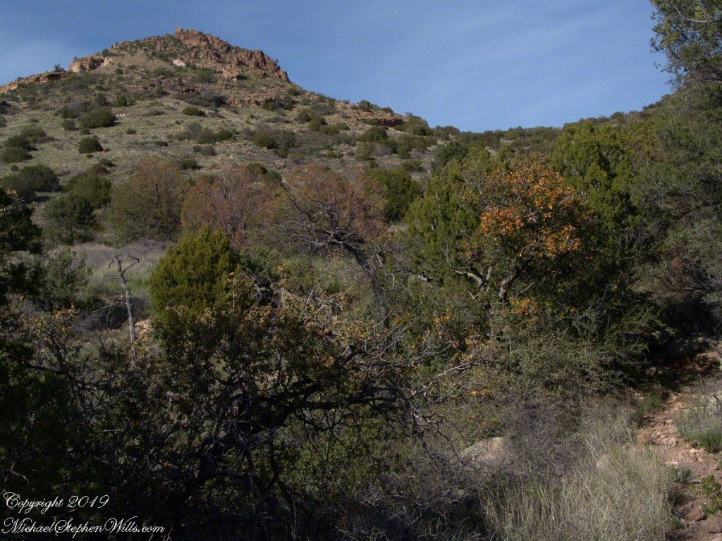
Click me for the first post of this series.