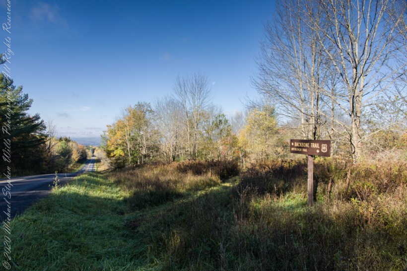
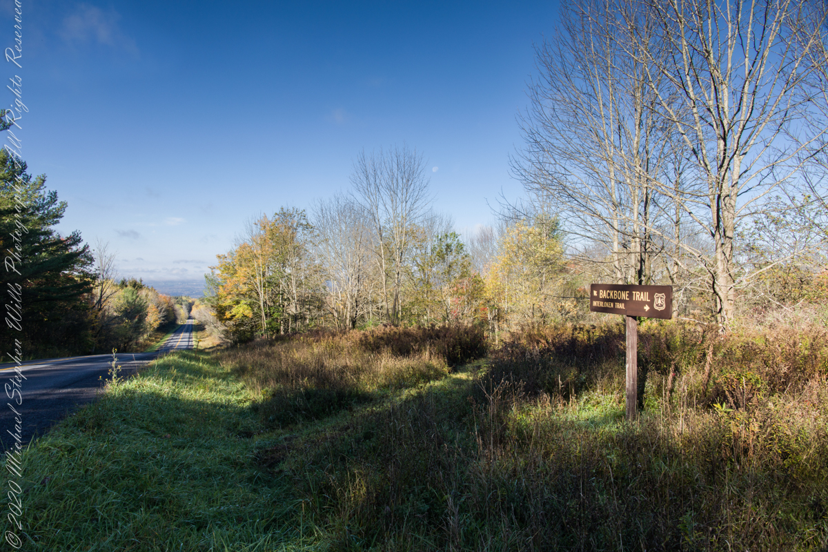
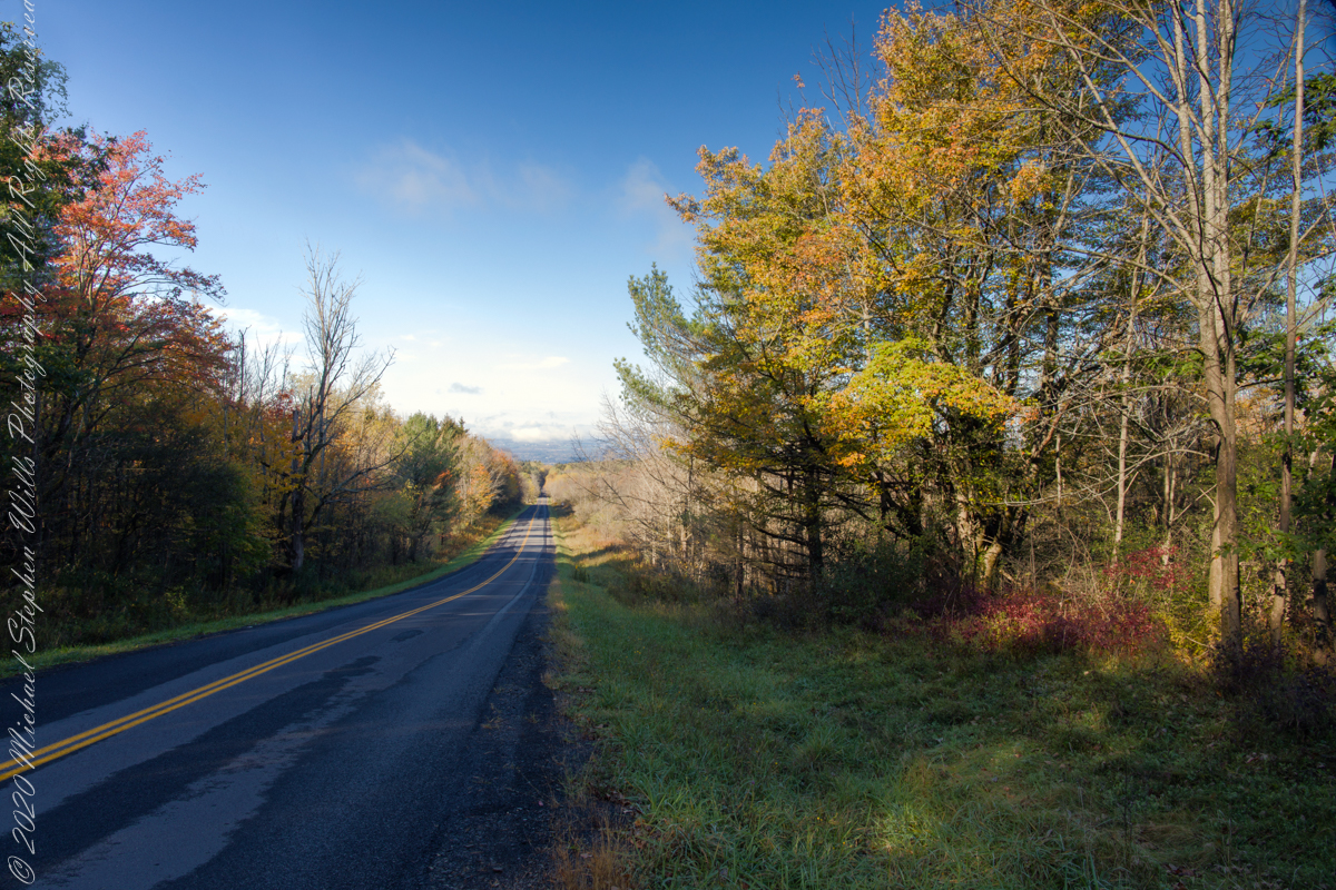
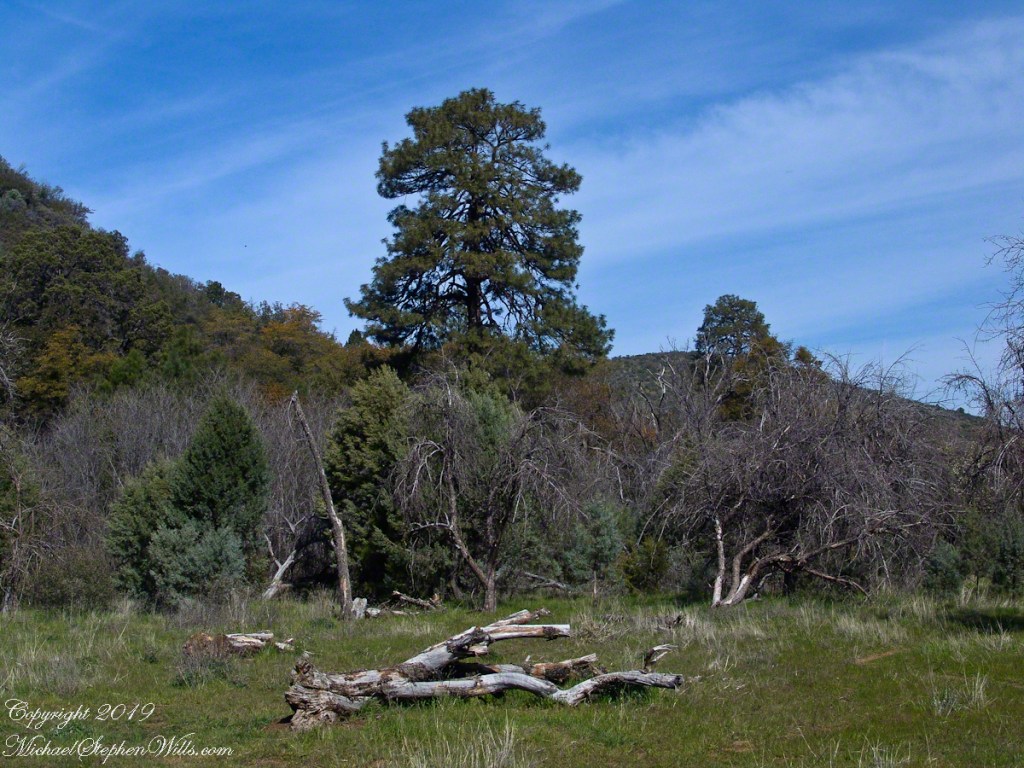
An open road, autumn morning, a hiking trail under a setting moon. Thirty miles of hiking trails thread these 16,212 acres. Some, like the Backbone trail, traverse farmland reverted to forest and meadow, popular for horseback riding.
Click photograph for a larger view. To do this from WordPress Reader, you need to first click the title of this post to open a new page.
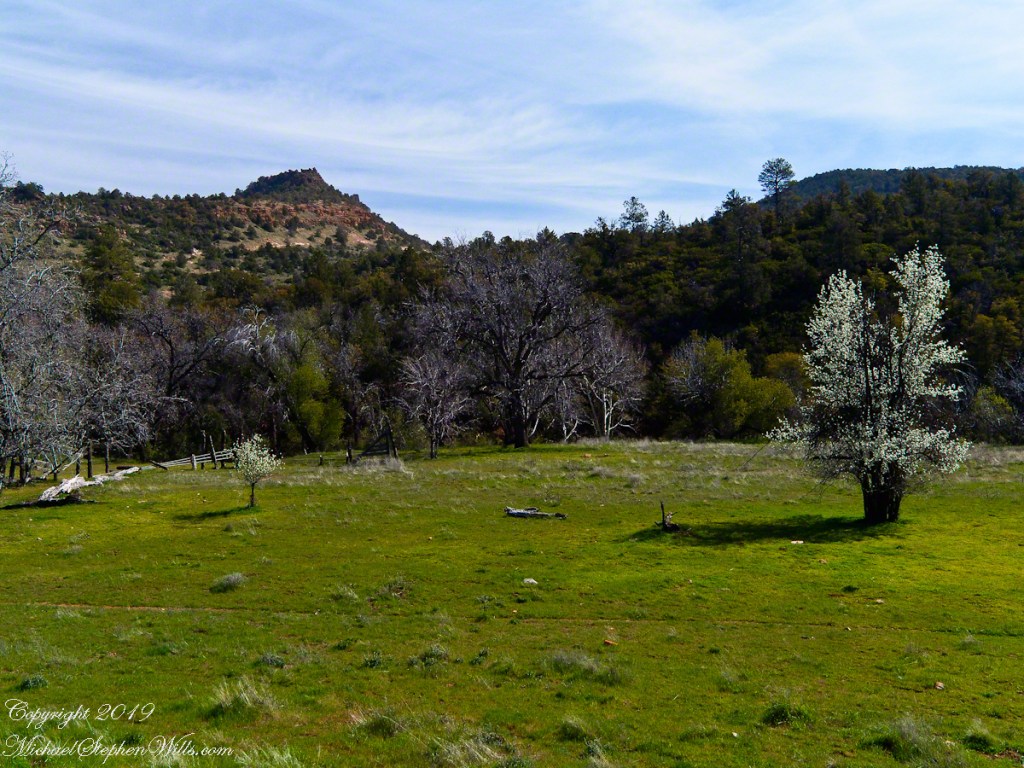
The only National Forest in New York State, this land is visible as a ridge to the west of our home. Here we are on the west side, the ridge of Seneca Lake in the distance.
Click photograph for a larger view. To do this from WordPress Reader, you need to first click the title of this post to open a new page.
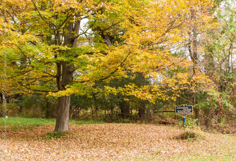
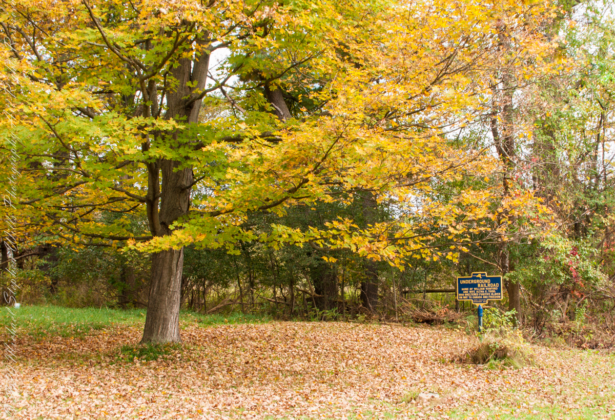
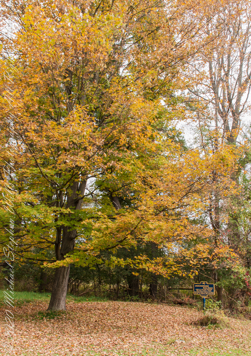
We have often travelled Lower Creek Road as an alternate route to visit my son and his family who live in Freeville, a village named for the activity of the Underground Railroad. After noticing this sign in passing for years, this week we stopped on a glorious autumn morning to capture it. I had packed the Sony Alpha 700 dslr for just such an opportunity.
Just off the road, under a maple tree in full autumn color (yellow), ground covered with fallen leaves (brown) on a fine early October morning, the sign reads, “New York, UNDERGROUND RAILROAD, HOME OF WILLIAM HANFORD AND WIFE ALTHA C. TODD, WHO SHELTERED FUGITIVE SLAVES ON THE WAY TO CANADA AND FREEDOM, STATE EDUCATION DEPARTMENT 1932”. These dark blue background, bright yellow letter signed are found throughout this region and much appreciated.
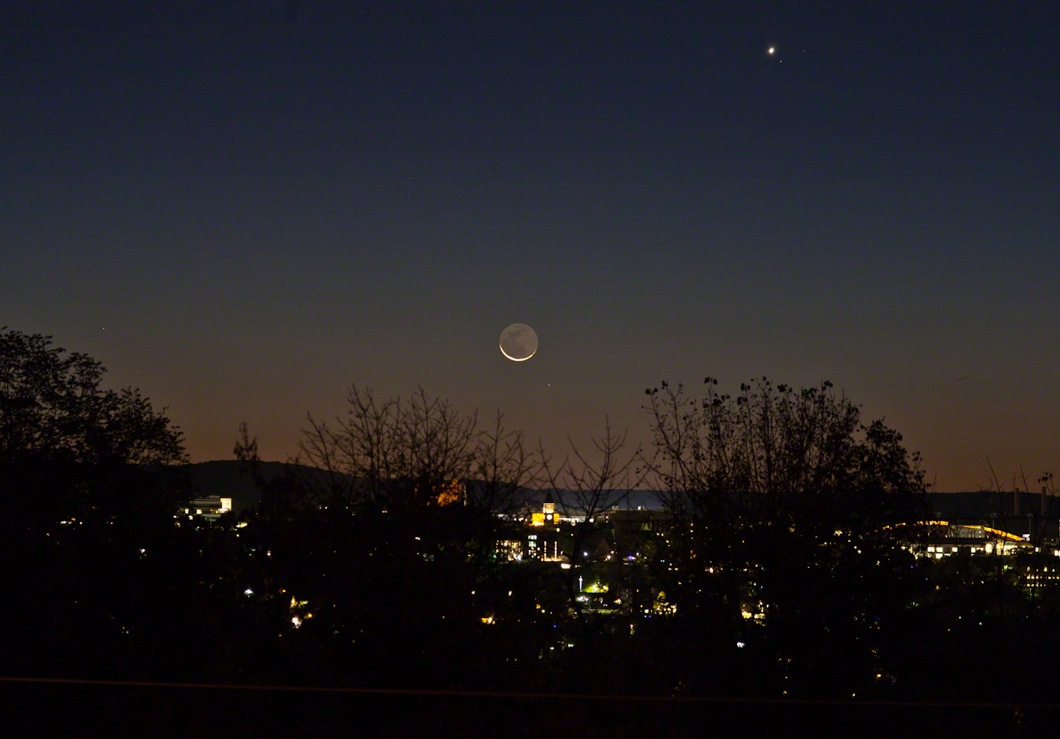
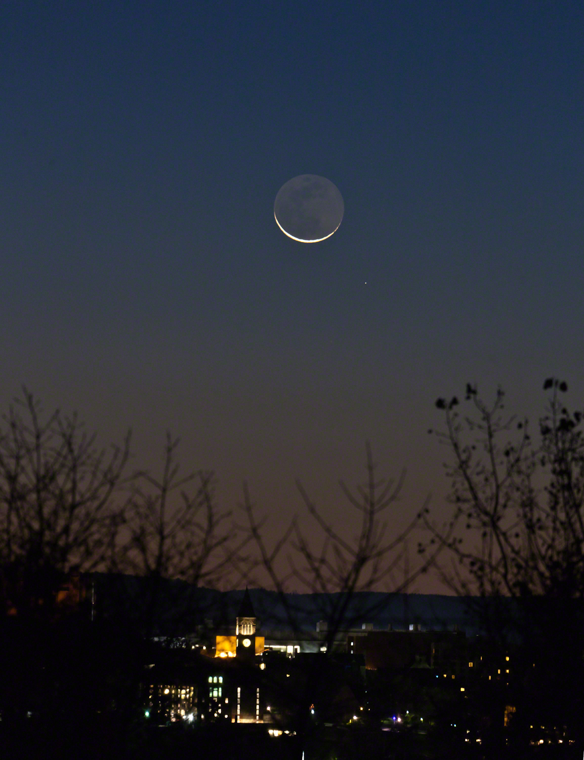
Here are two photographs taken about the same time, 6:30 am, October 18, 2017, companions to the photograph shared earlier this week.
The moon rises later each day, so these shots include a larger disk closer to Cornell University. Both components, the crescent and earth-glow, were dimmer this morning. In each photograph Jenny McGraw Tower is visible.
The star is Regulus, the brightest in the constellation Leo, close below the moon. I don’t know the star close to Venus.
Here the tower is slightly to the right of the crescent, the arch of Schoellkopf stadium further right. Among the trees on left, is the baleful red glow of Bradford Hall.
The tower is outlined by the lights of Uris library, presumably filled with early rising students.
The light of Regulus (“small king”), below and to the right, is a composite of four stars moving together through space. The position of Regulus on the path in the sky of the moon, planets and asteroids (called the ecliptic) leads to the occultation of the star by the disks of the moon and, less regularly, the planets and asteroids.
Copyright 2021 Michael Stephen Wills All Rights Reserved
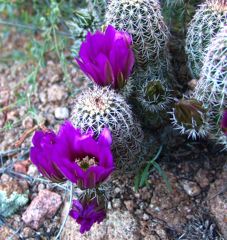
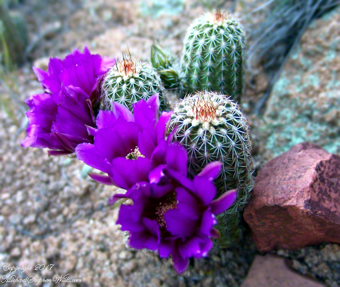
These are photographs from my Superstition Wilderness postings.
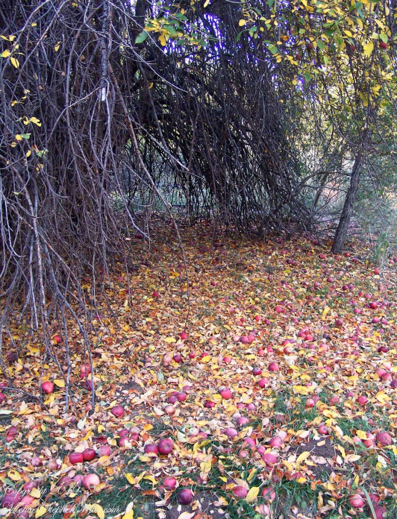
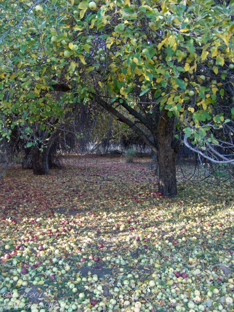
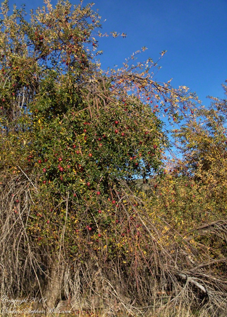
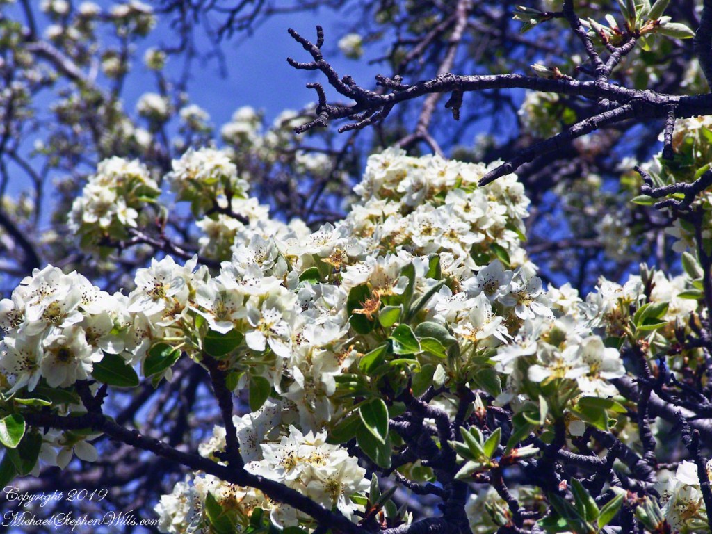
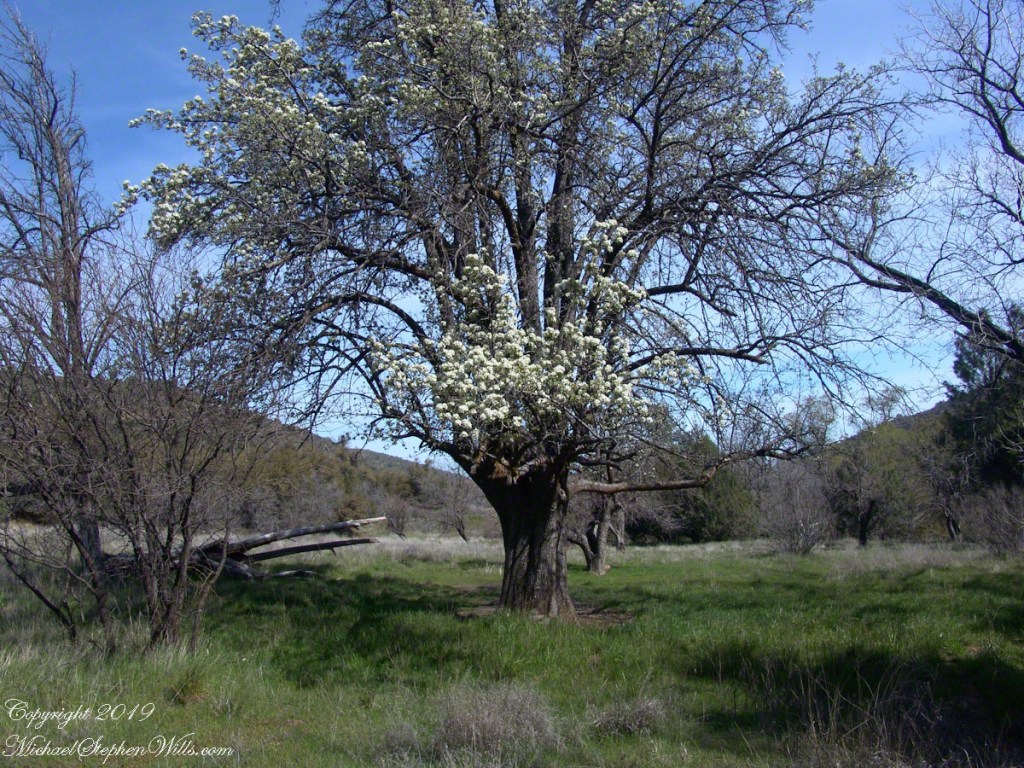
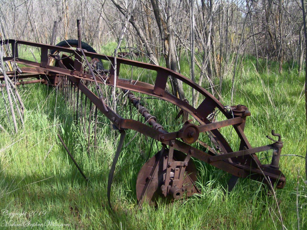
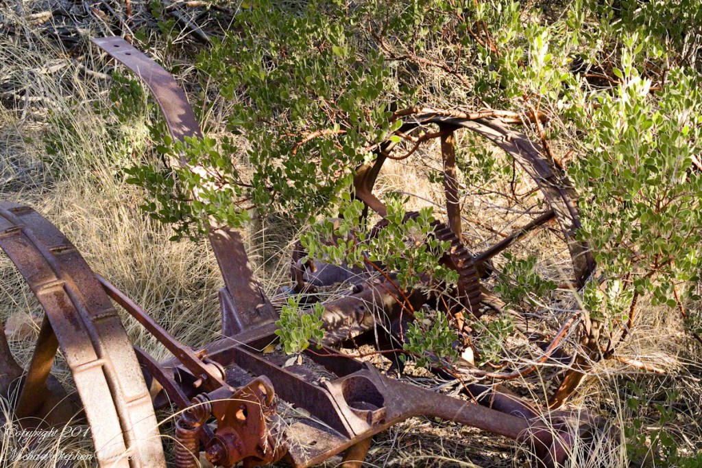
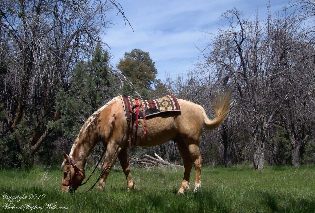
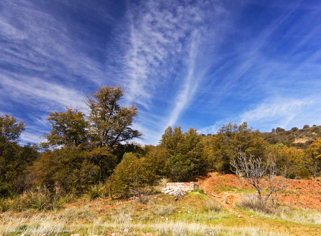
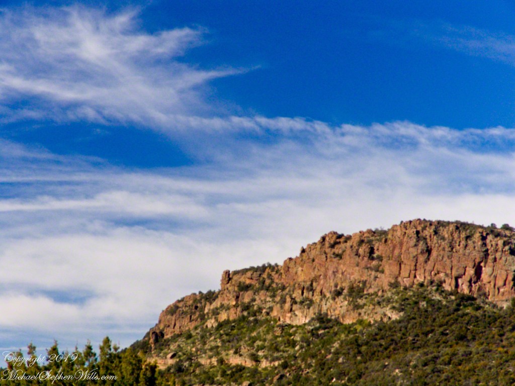
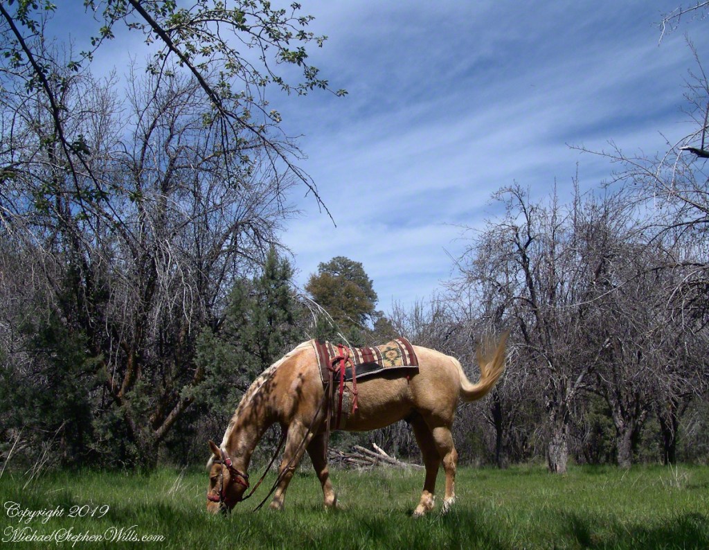
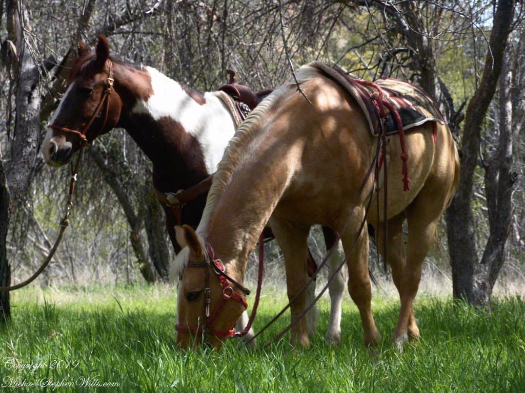
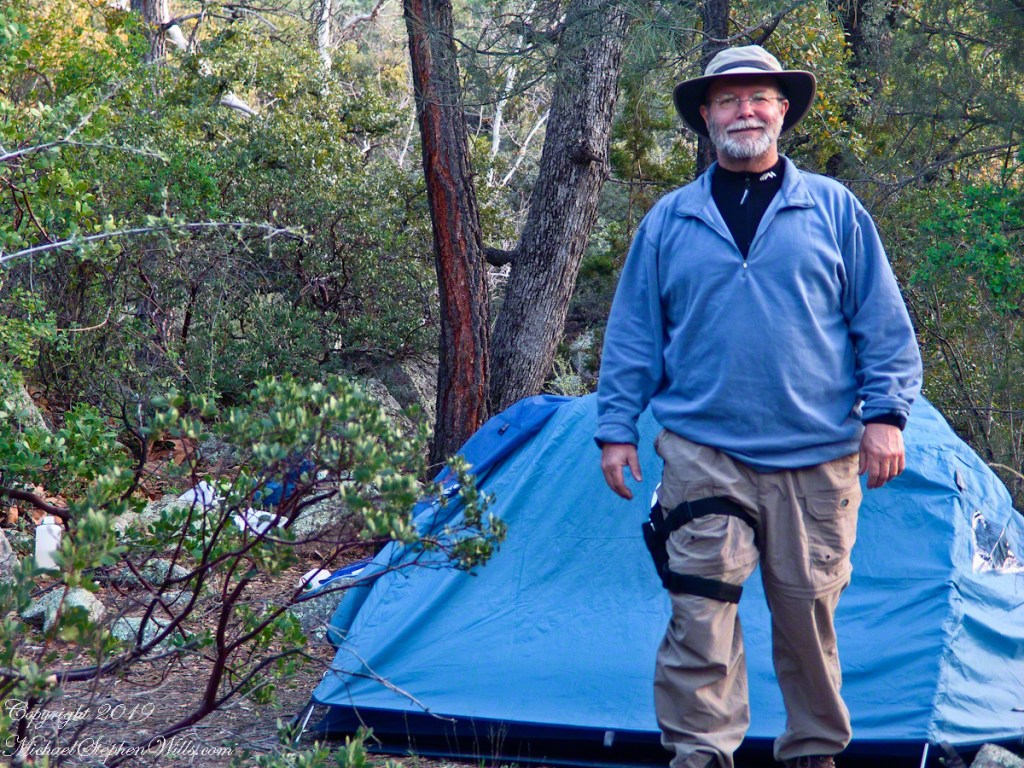
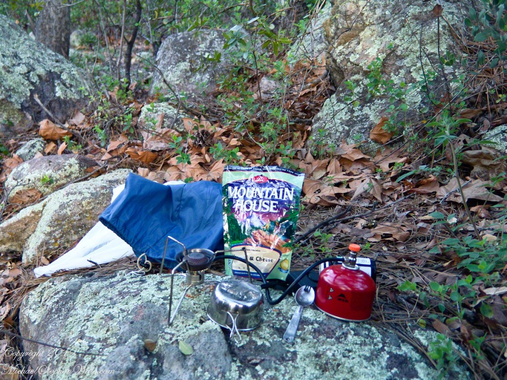
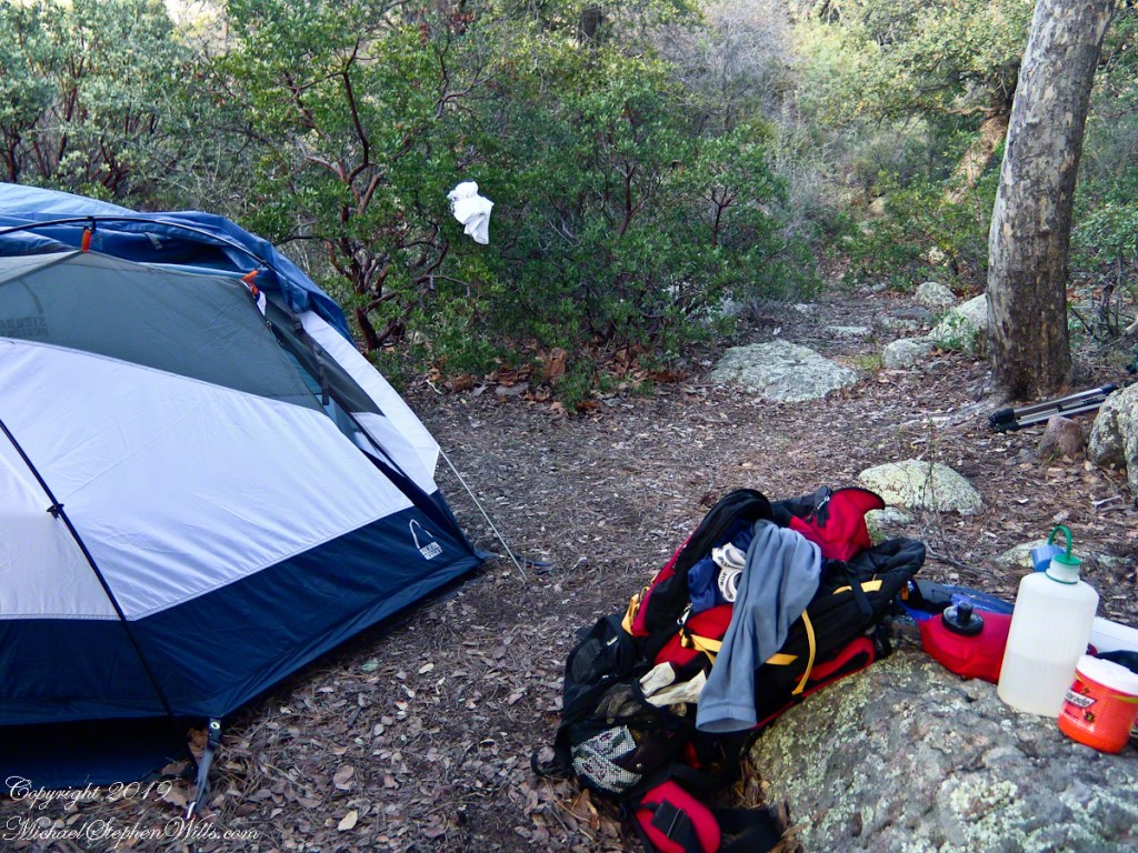
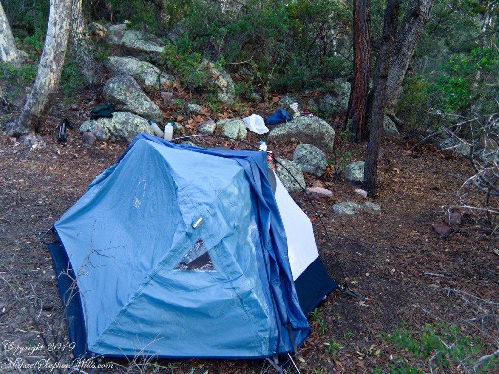
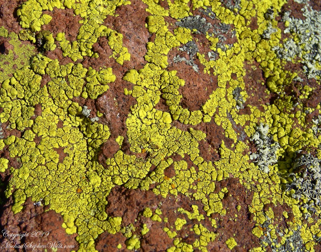
Taken early April, Reavis Ranch, Superstition Wilderness.Remnant of a twentieth century orchard, a dream husbanded using a perennial water source.Disused hayrake, Reavis Ranch, Superstition WildernessSuperstition Wilderness, Reavis Ranch, February, 2006From the slopes of Mound Mountain in the remote eastern Superstition Wilderness. View West-Northwest across the southern Reavis Valley (Reavis Ranch). Pinion Pine and Manzanite in the foreground.“The Searcher’s” horse, Nugget feating on early spring grass among the apple trees of Reavis Ranch.Northeast view across the site and the Reavis Valley.“The Searcher’s” horse, Nugget feating on early spring grass among the apple trees of Reavis Ranch.Colorado on the alert while Nugget grazes, typical of their personalities.Looking from the former house site towards the Arizona Trail running beneath the distant red rock ridge. Not the fence rails on the left and apple trees in bloom.Mike Wills at his Pine Creek Camp, April 2005.the kitchen: can of fuel, a light burner and dehydrated food. A metal cup and a spork.Looking east toward backpack, center, with unpacked supplies and tent. Tripod at rear.I climbed a large, lichen encrusted boulder for this view of the tent and equipment. Looking south.
The following year my sister Diane and I did two expeditions into the Superstitions, March and November 2006.
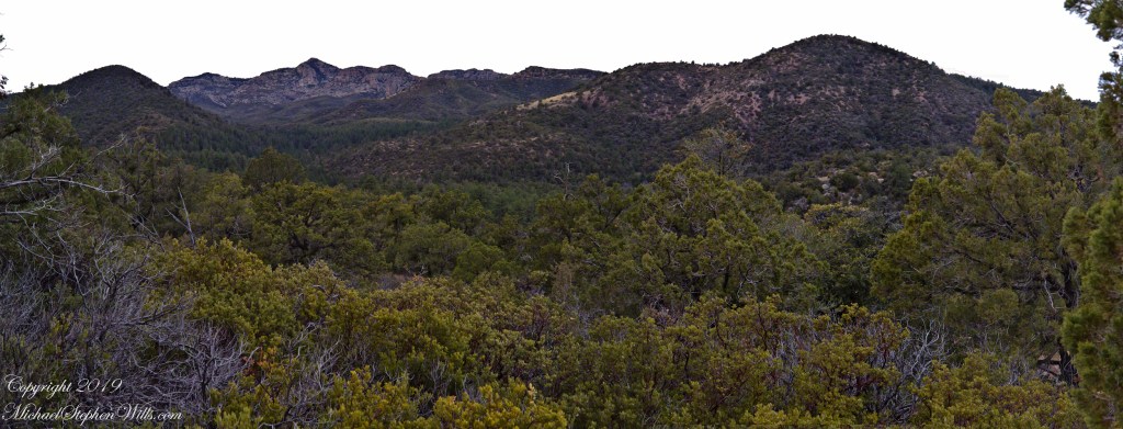
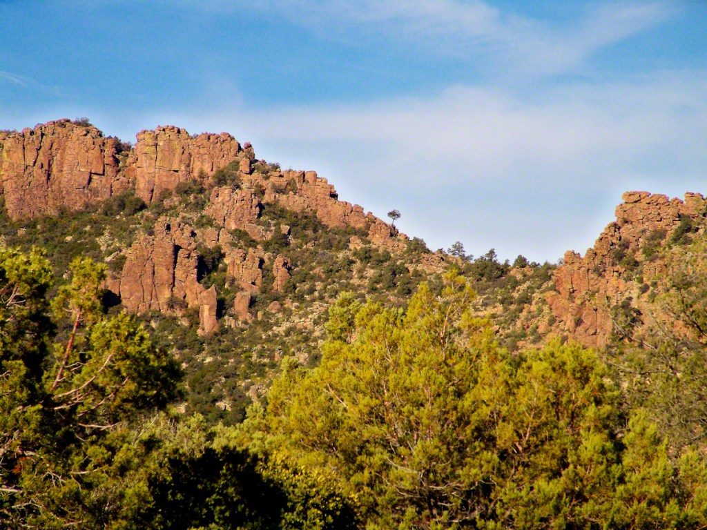
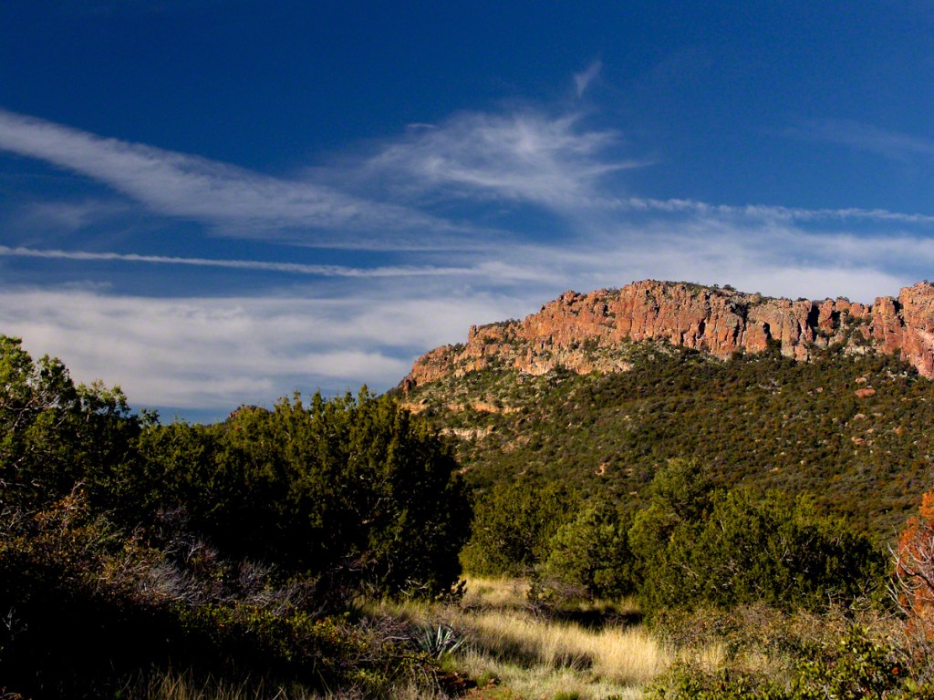
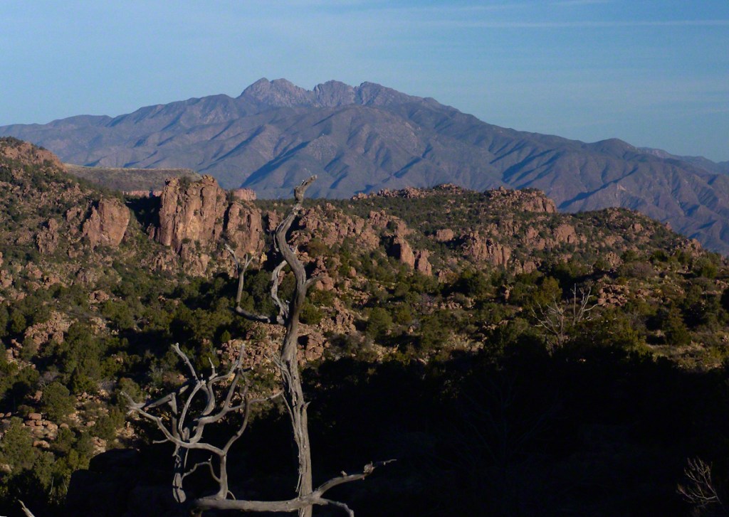
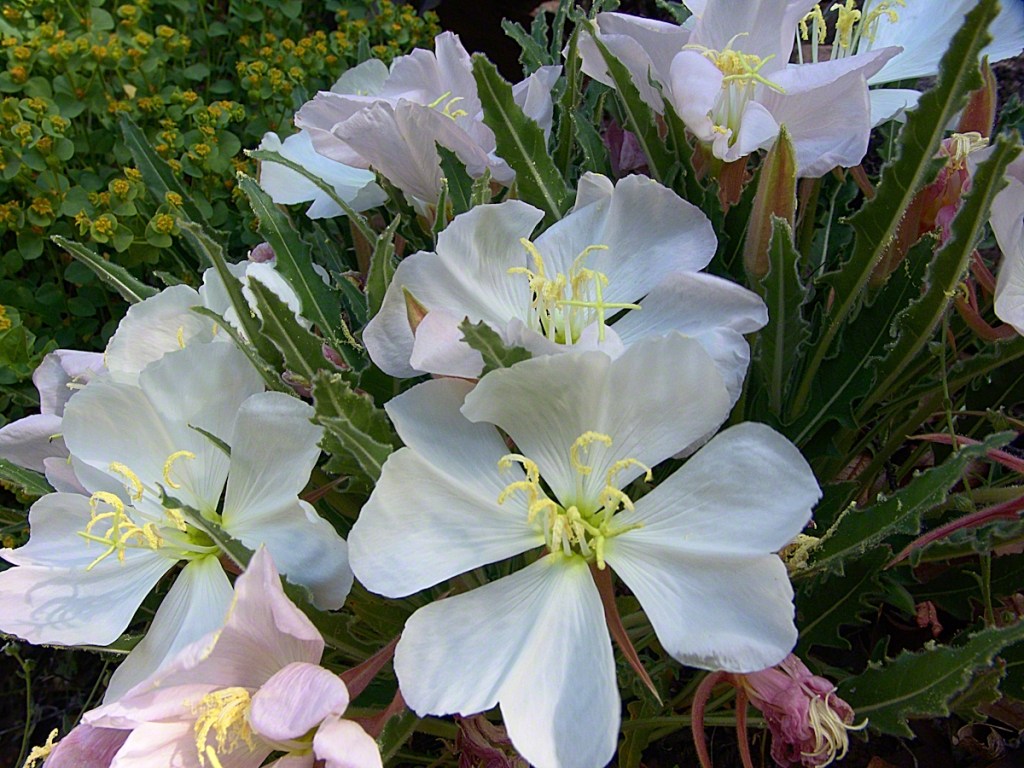
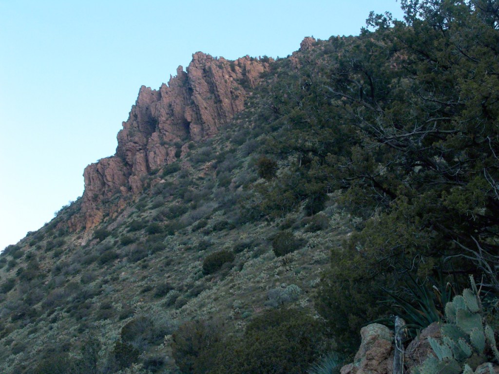
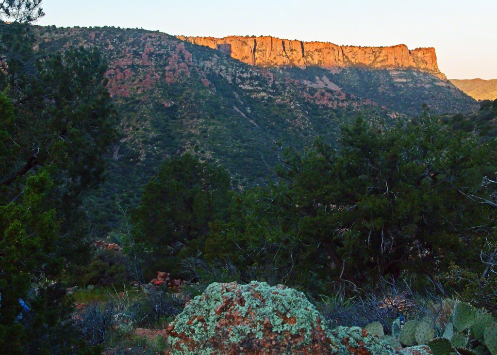
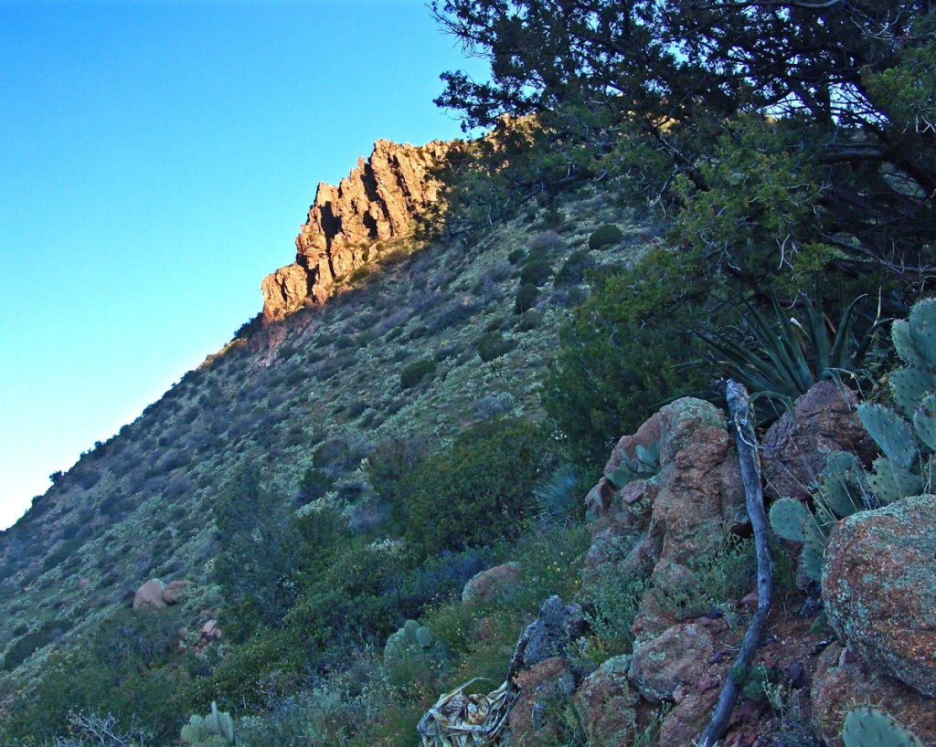
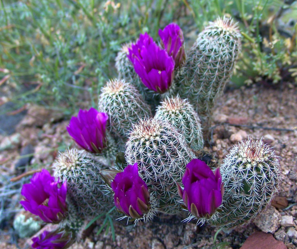
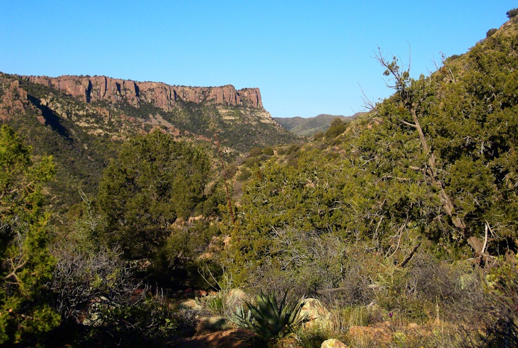
View of a saddle of the ridge to the west over Pine Creek. It is possible to climb over this ridge for a view of Reavis Falls. It is a day-trip bushwack from Pine Creek.View to the southwest on the Arizona Trail above Pine Creek.Pine Creek of the remote eastern Superstition Wilderness hosts this wild Tufted Evening Primrose.From a vantage point overlooking Reavis Gap tot he north. This is the view of Pine Creek, to the south.The Arizona Trail passes this spot in the remote eastern Superstition Wilderness. This is the view of my path up from Nameless Canyon. In the distance is the Four Peaks Wilderness Area.Superstition Wilderness, Arizona
“A This video is from the November backpack, taken from the hill above the Ranch Ruin (Click me for “A Ride to Reavis Ranch”) you will experience the peace of this wilderness valley.
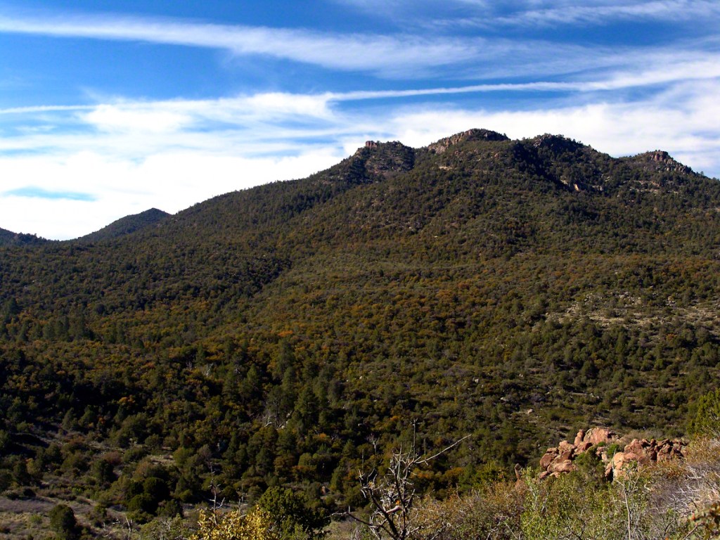
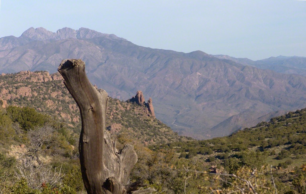
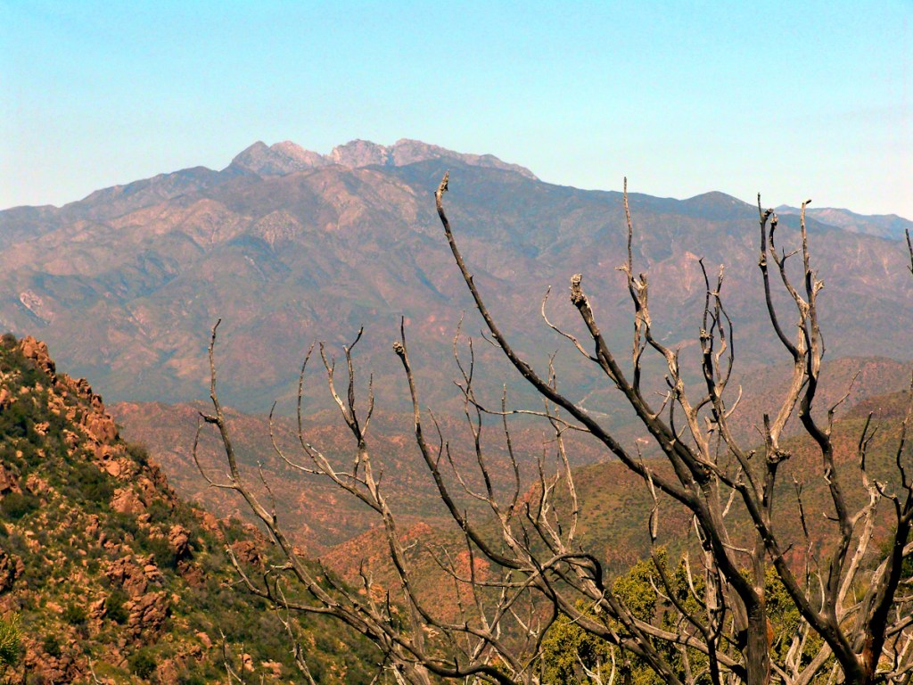
Although cold, the still dry air felt marvelous and even distant objects appeared absolutely clear. In this environment the spread of sun with its rising is a ritual. Here’s a photograph of the canyon walls a few minutes before the sun reached them.. Superstition Wilderness, ArizonaView from the western slope of Two Bar Mountain looking west toward Reavis Ranch Trail. Reavis Falls is in canyon on the far side of this ridge.Although cold, the still dry air felt marvelous and even distant objects appeared absolutely clear. In this environment the spread of sun with its rising is a ritual. Here’s a photograph of the canyon walls a few minutes after the sun reached them.. Superstition Wilderness, ArizonaSuperstition Wilderness, ArizonaView from the western slope of Two Bar Mountain looking west toward Reavis Ranch Trail. Castle Dome is behind the ridge on right.Fully mature agave surrounded by years of dried leaves against ddawn light in Pine Creen Canyon, Superstition Wilderness, Arizona.
The following year my sister Diane and I did two expeditions into the Superstitions, March and November 2006.
“A This video is from the November backpack, taken from the hill above the Ranch Ruin (Click me for “A Ride to Reavis Ranch”) you will experience the peace of this wilderness valley.
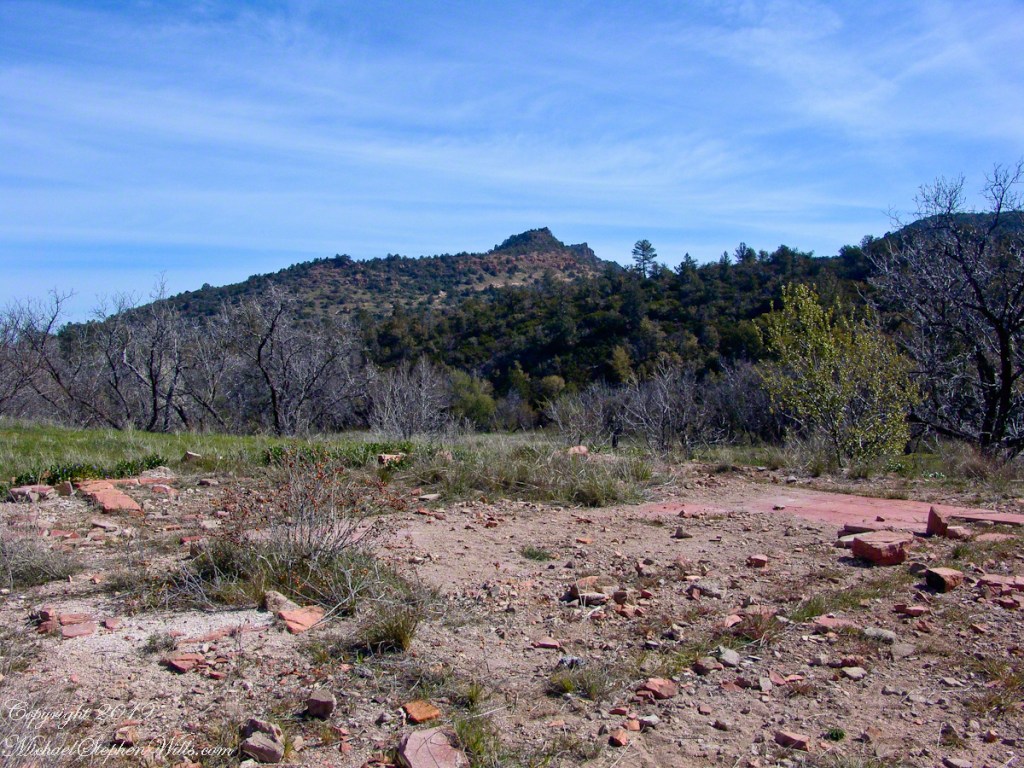
About that mysterious stone structure featured in this video. Over the years I have pieced together its purpose. When the ranch was active, a canal followed the contours from upper Reavis Creek to fill a pond down the hill from the house — I was shown the canal and walked it 2005. The structure was razed in the 1990’s, all that remains is the concrete foundation slab and, when I was there 2005 – 2008, scattered remains of the tile flooring. I am sure the pedestal above the house supported a water tank for a gravity water feed (“indoor plumbing”). Here is a link to more info about that site. The article does not discuss the water system.
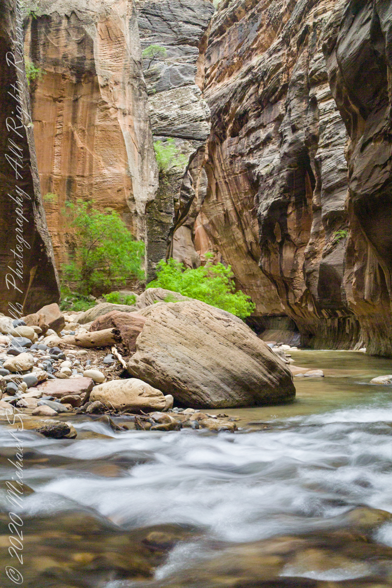
In this series of three exposures from a tripod mounted Kodak DSC Pro SLR/c and Canon EF 50 mm f/1.4 USM lens, all were ISO 250, at f/8. The difference was the exposure time. In is the shortest exposure, 1.6 second, the human figures are blurred, though to a lesser extent than the second image, released earlier.
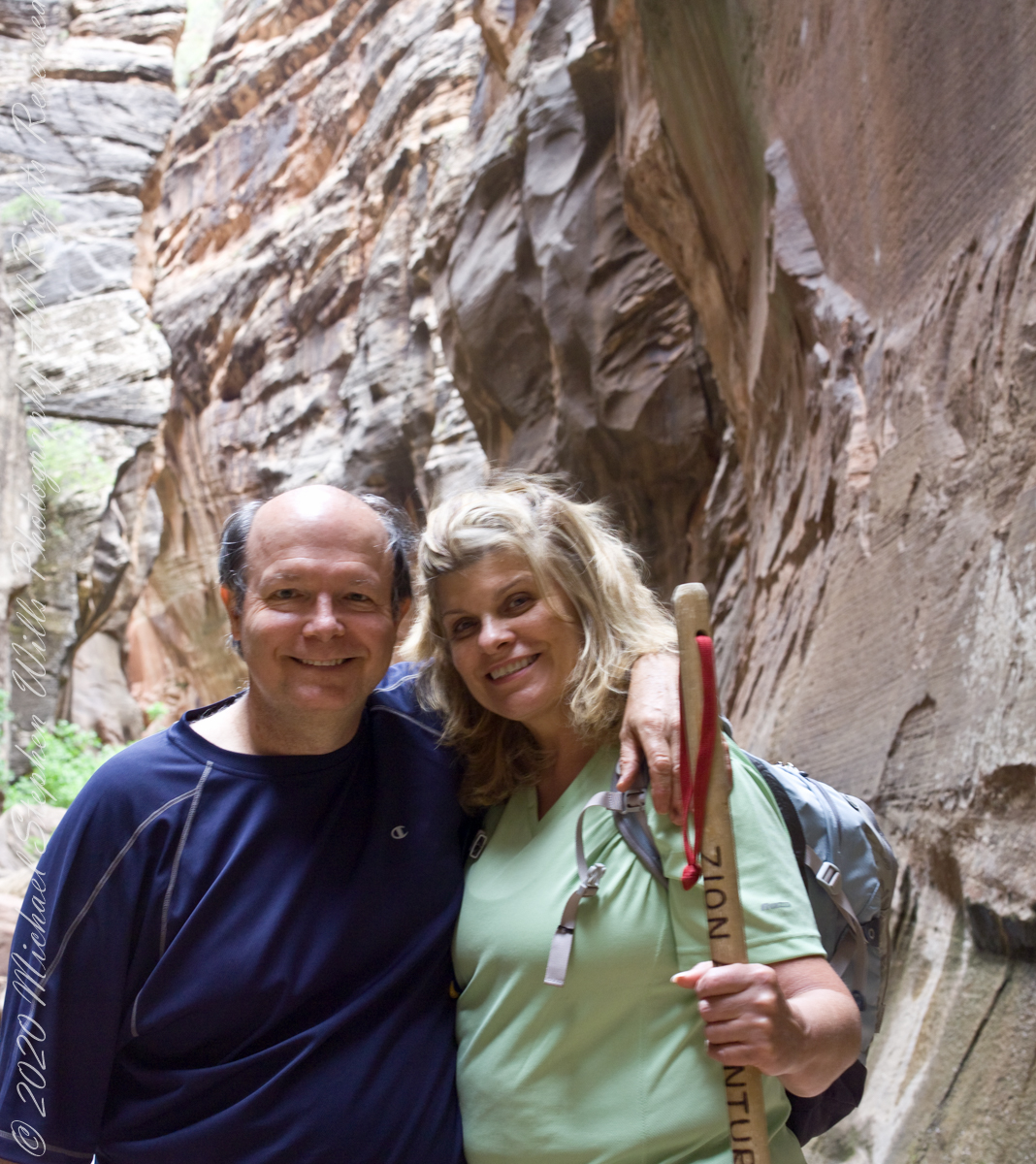
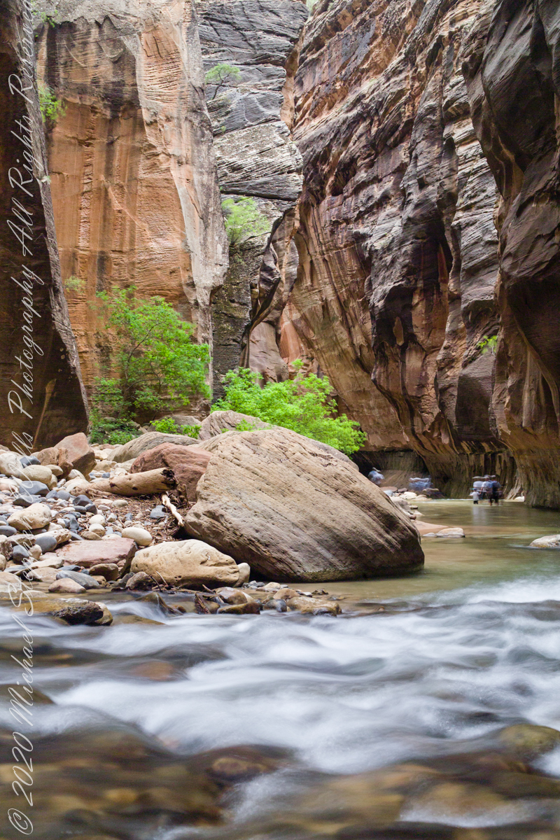
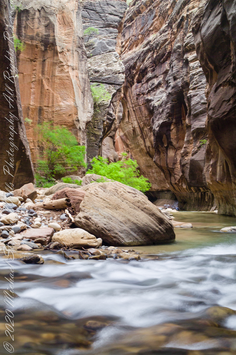
This is the last image of our trip to Zion National Park.
Copyright 2021 Michael Stephen Wills All Rights Reserved
The image is from a tripod mounted Kodak DSC Pro SLR/c and Canon EF 50 mm f/1.4 USM lens, ISO 250, exposure 3.5 sec at f/8. The flowing water in forground has an appealing blur, fellow waders, in the distance under beeteling cliffs, are blurred and unrecognizable.
Here the canyon turns sharply to the right.
Copyright 2021 Michael Stephen Wills All Rights Reserved
The first of three long exposures of the Virgin River from the Narrows on the way back to Pam. Earlier on Pam headed back, concerned about thunderstorms and the possibility of flash floods. I hung on, for the perfect photo. I came pretty close here, with the flowing water coming aound this outcrop of picturesque boulders, canyon turning sharply right up ahead.. The Narrows, Zion National Park, Springdale, Utah
Copyright 2021 Michael Stephen Wills All Rights Reserved