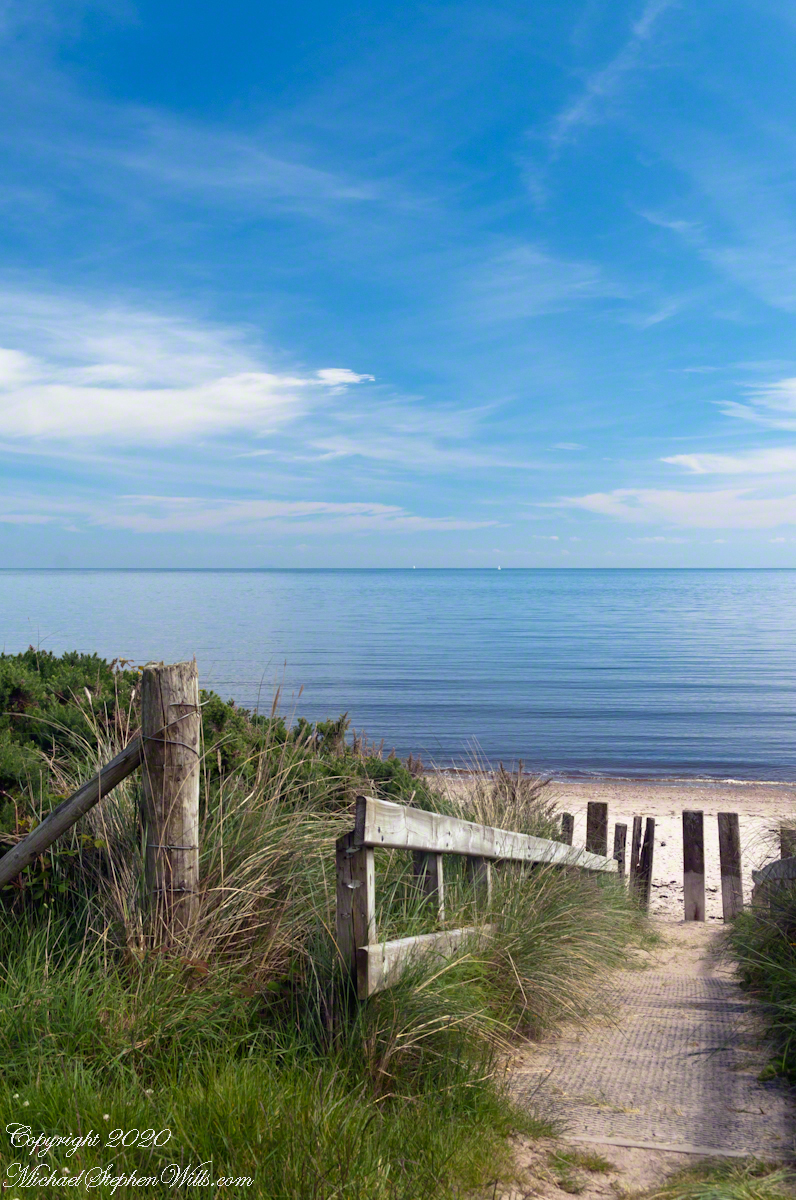
Standing on the beach at Cushendun village, looking south to take in the broad sweep of the shallow bay.
Click photograph for a larger view. To do this from WordPress Reader, you need to first click the title of this post to open a new page.

Tableland
Standing on the beach at Cushendun village, looking south to take in the broad sweep of the shallow bay.
Click photograph for a larger view. To do this from WordPress Reader, you need to first click the title of this post to open a new page.
Tableland
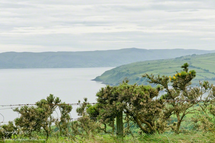
Standing on the beach at Cushendun village, looking east towards the Scottish coast, just over the horizon. Cushendun is an ancient ferry port.
Click photograph for a larger view. To do this from WordPress Reader, you need to first click the title of this post to open a new page.

Tableland
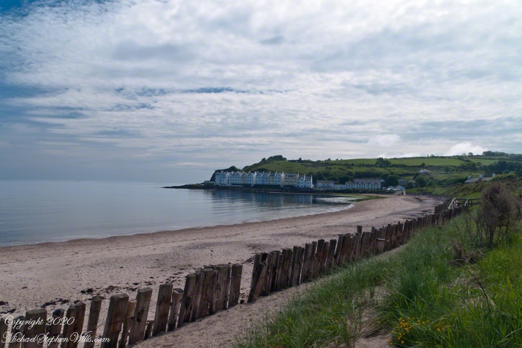
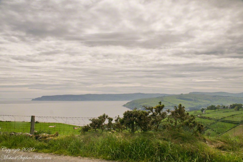
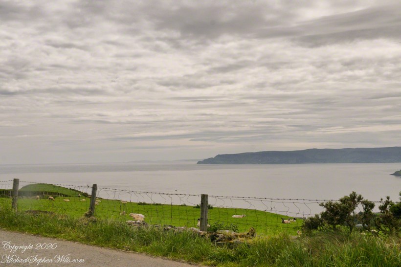
Standing on the beach at Cushendun village, looking west towards the glens. The Antrim coast is notable for the rising tablelands of broad, eroded valleys, or glens.
Click photograph for a larger view. To do this from WordPress Reader, you need to first click the title of this post to open a new page.
Neat and tidy
Here is a view of our route to Torr Head standing on the beach at Cushendun, facing north. The village name in Irish is Cois Abhann Doinne, meaning at the foot of the river Dun, the land here and bay formed by the outflow of rivers from the glens.
Click photograph for a larger view. To do this from WordPress Reader, you need to first click the title of this post to open a new page.

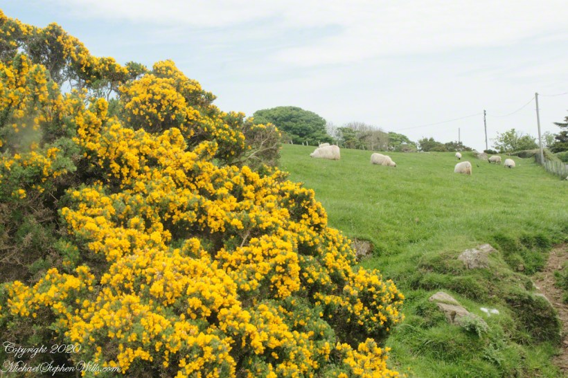
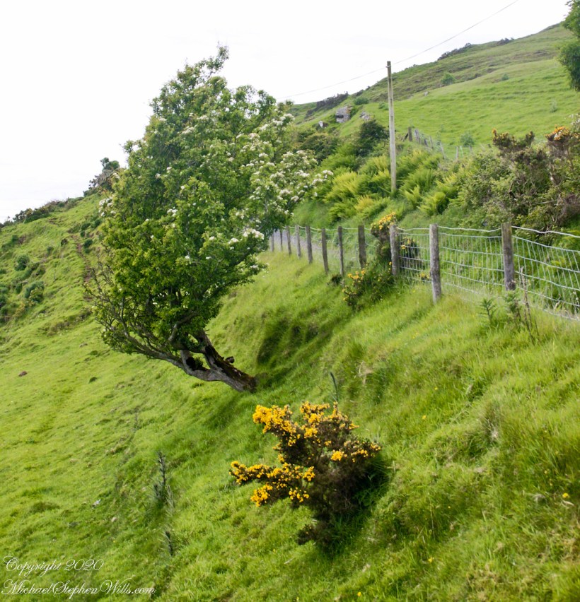
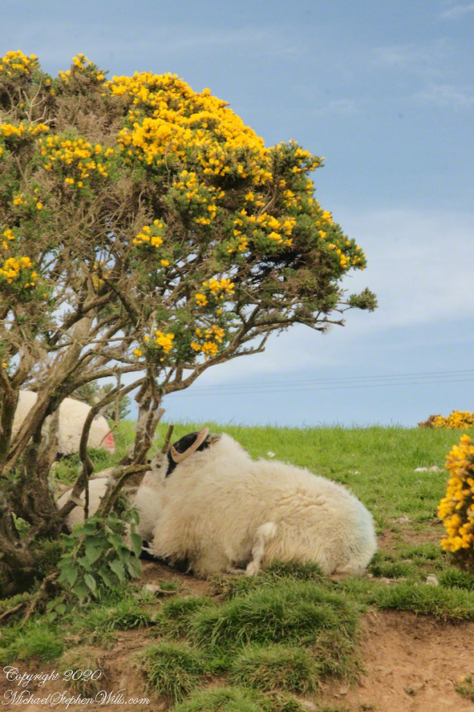
Gorse in flower
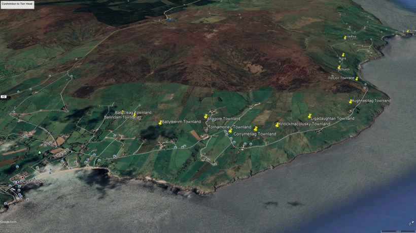
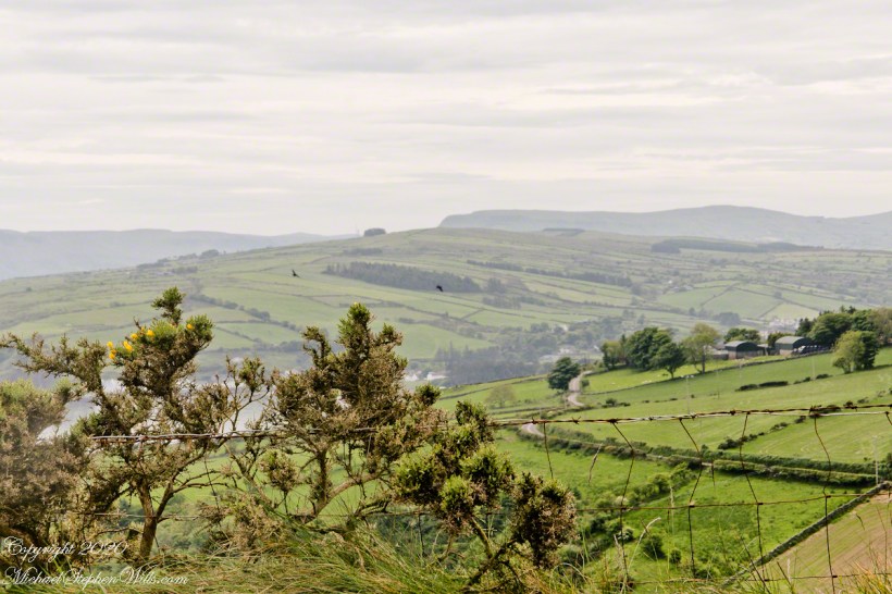
In 3.1 miles Torr Road passes nine townlands between Cushendun and Torcorr Townland, each with a namestone holding the Irish and Anglicized name. We can walk it in an hour at a steady pace, the terrane is sliced up so.
Click photograph for a larger view. To do this from WordPress Reader, you need to first click the title of this post to open a new page.
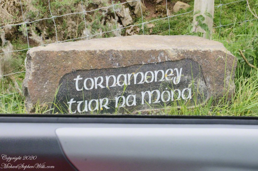
Tornamoney townland is “Cattle Field of the Bogland.” That is the car door, foreground.
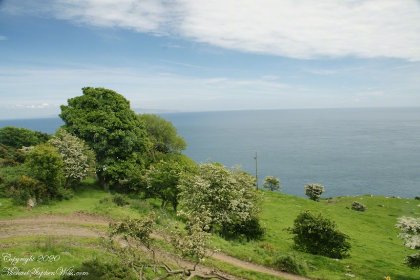
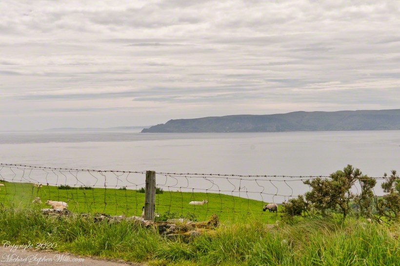
Common to all was the slope down to the North Channel.
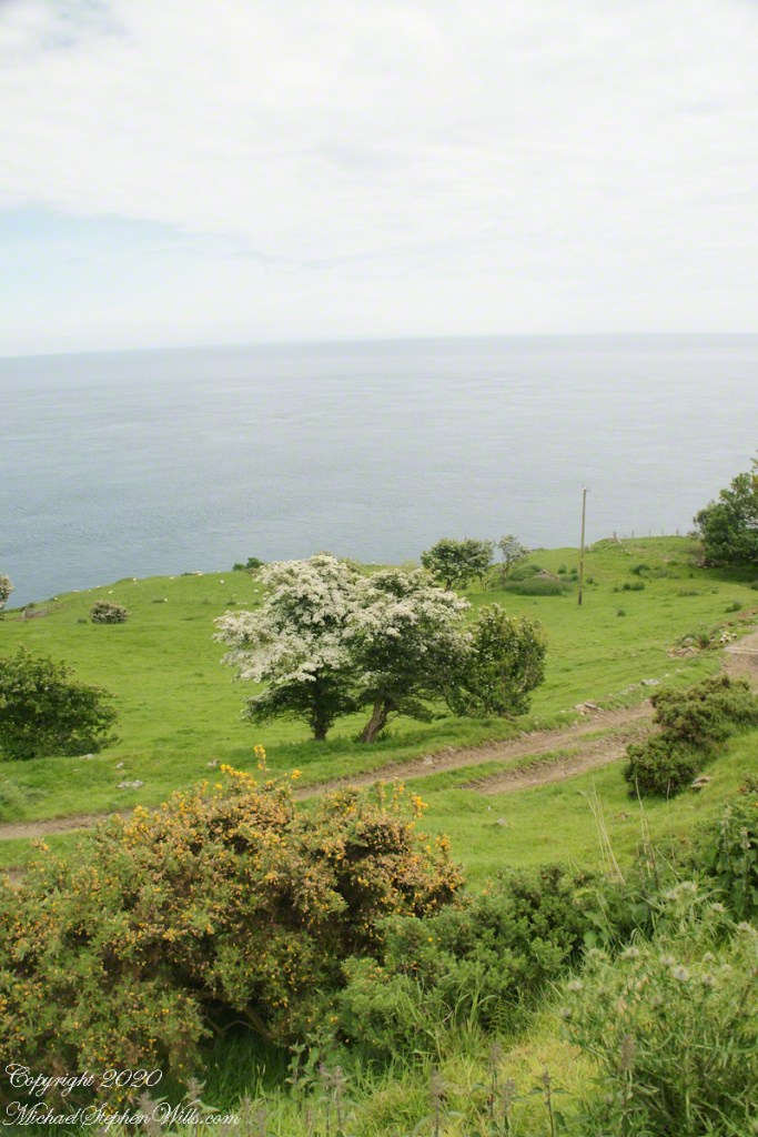
Rowan Tree directional growth from a constant east wind..
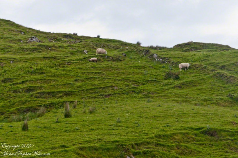
Sheep pasture above the Loughan Cottage ruins.
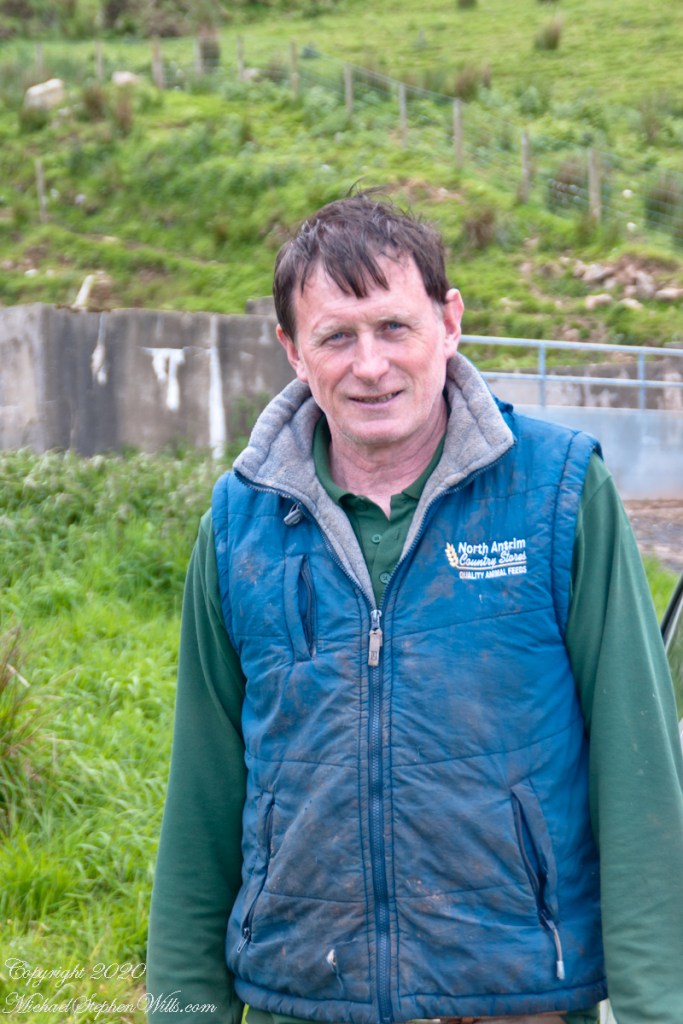
Here is the friendly owner who climbed off his tractor for a chat with Pam while I photographed.
Rising from Cushendun Village
Torr Road passes nine townlands between Cushendun and Torcorr Townlands, each with a namestone holding the Irish and Anglicized name. Here are a few interesting names.
Click photograph for a larger view. To do this from WordPress Reader, you need to first click the title of this post to open a new page.
“Ballindam” is derived from the Irish “Baile an tdam”, the Anglicization is the sounding out of Irish. Baile is “town” and “an tdam” is on the dam.
Headed uphill, the next is “Ballycleagh”. Bally is the English pronunciation of Baile. I found “cleagh” on Google translate under “Scots Irish” for “Well.” So, this is the town of the well.
Here is a sheep lookout at the aptly named, Alt gabhair townland, Irish for “Goat Section.” Otherwise known as Altagore.
Ancient Gaelic Names
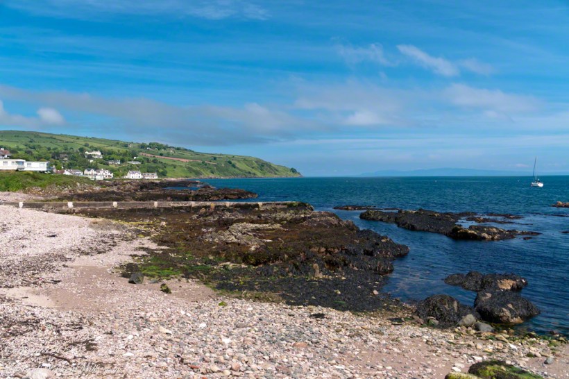
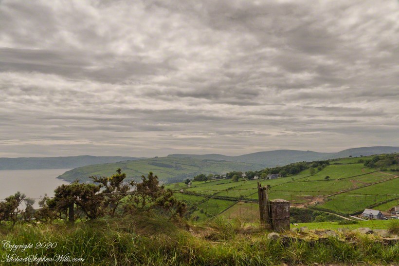
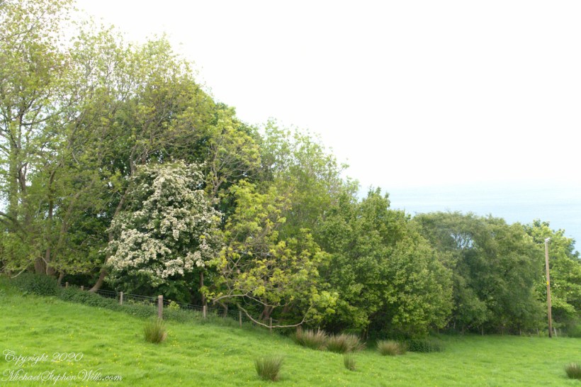
Take a look at the view of Coolranny Townland on approach from Torcorr on Torr Road and see the source of this townland name that, from the Irish Language, means a recess, or “nook”, of ferns, or “bracken.” This, in the “Glens” section of County Antrim, is not a deep glen, as such, is rather a wrinkle between town headlands.
Click photograph for a larger view. To do this from WordPress Reader, you need to first click the title of this post to open a new page.
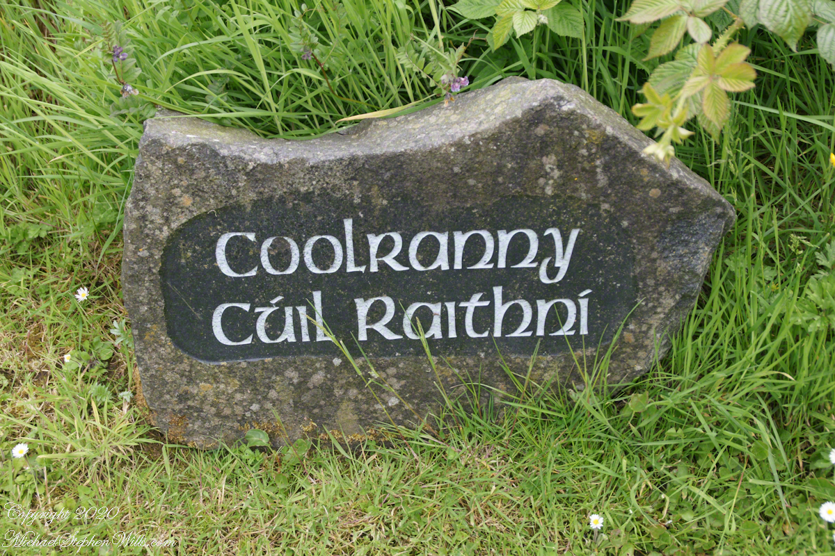
The words carved on this namestone are from ancient Irish language with “Cuil” (a recess) and “Raithni” (possessive case of the noun for bracken, a type of fern). In other words, recess of ferns. The anglicized name, “Coolranny,” is the untranslated sound of the Gaelic place name.
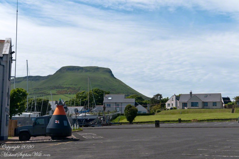
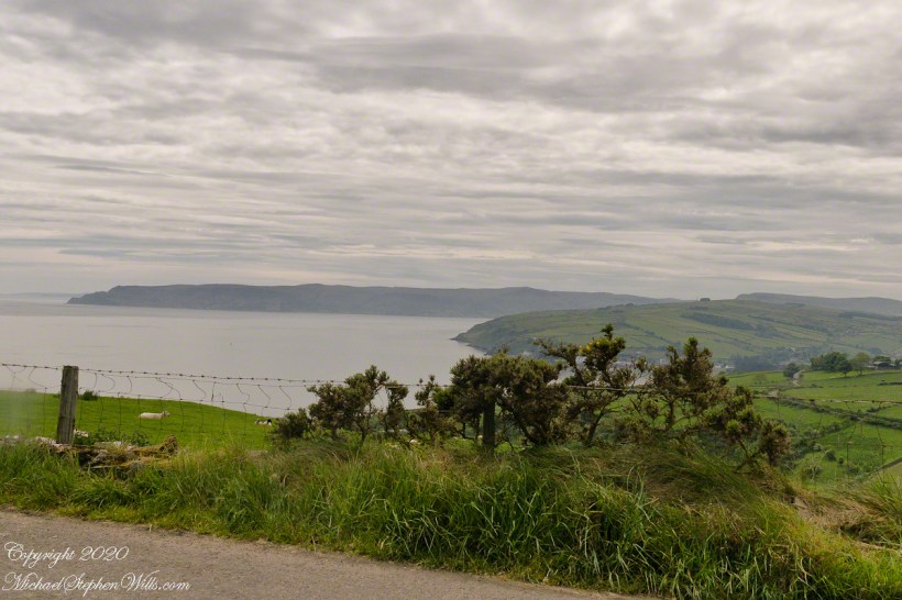
The road to Coolranny starts at the foot of Glendun, Cushendun village. Here is the view over Cushendun and its sheltered harbor as Torr road climbs in a series of switchbacks to Torcorr townland.

from the moss
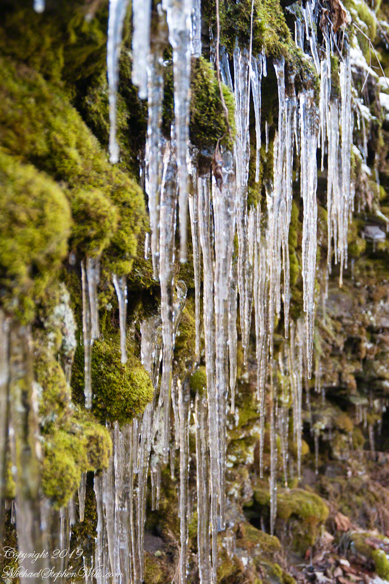
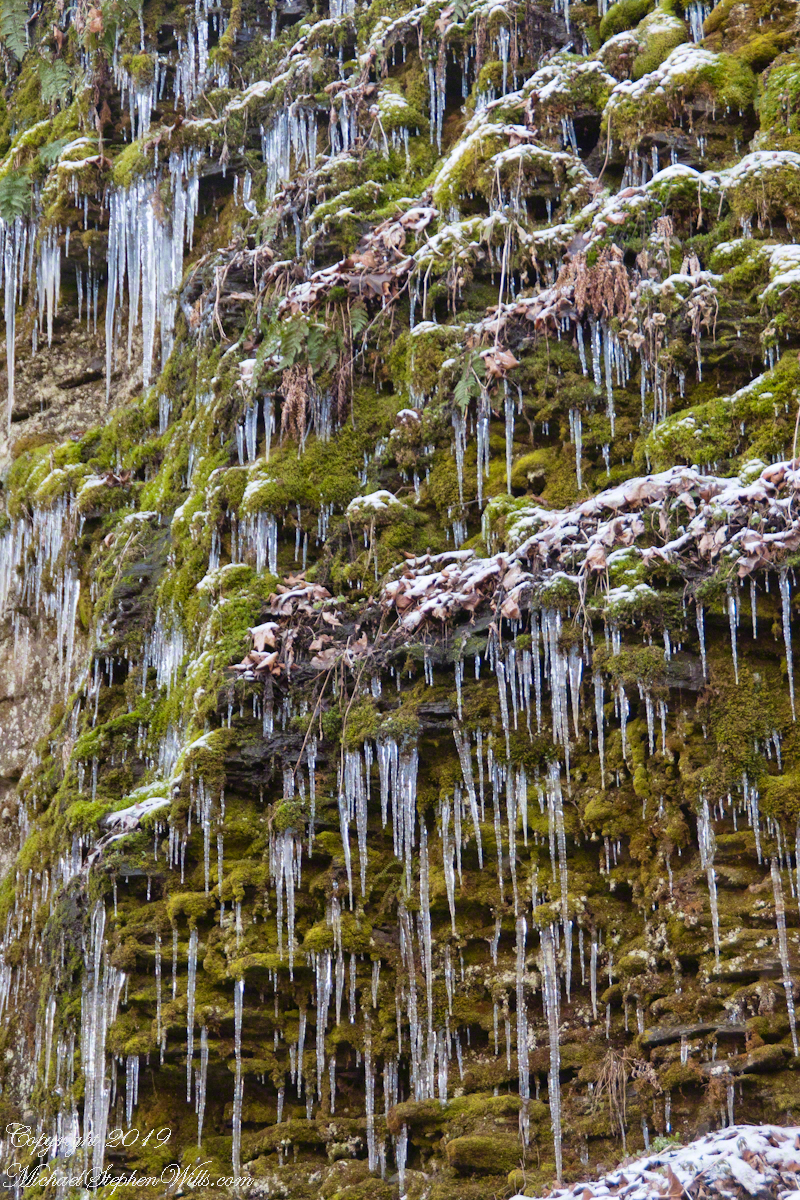
The entire wall above the Cliff Stair is a ground water seep caught here by a sudden April frost.

When the icicles melt, the moss is there relishing the moisture. Here is a link to some fascinating information from an earlier post, “Finger Lakes Water Chemistry.”
Robert H. Treman New York State Park.
Click for macro slideshow.


Visible Groundwater
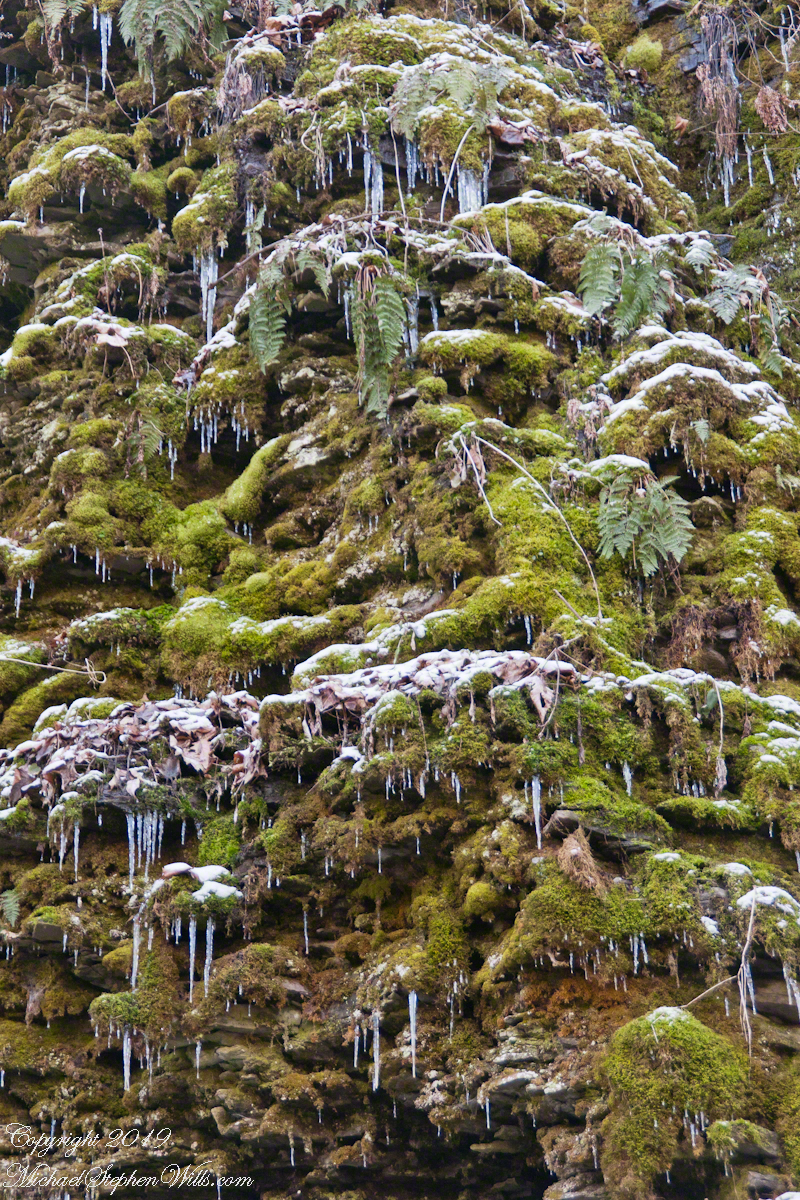
The fascinating walls above the 224 steps of the Cliff Stairs are a constant wonder in all seasons.
These shots were hand held. I used a Sony Alpha 700 dslr with a variable “zoom” lens, great for framing compositions.
Robert H. Treman New York State Park.
Click for macro slideshow.
Each wall is support for the next flight of stairs
I walked the Rim Trail after a sudden April frost.
These shots were hand held. I used a Sony Alpha 700 dslr with a variable “zoom” lens, great for framing compositions.
Robert H. Treman New York State Park.
Click for macro slideshow.
